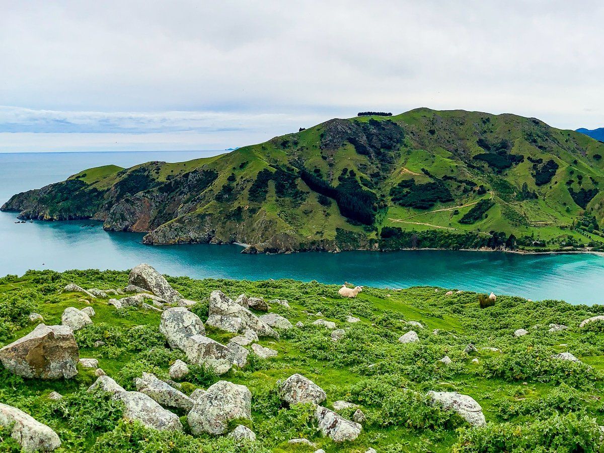
From Picton, the most interesting way to get to Nelson is via Queen Charlotte Drive, which connects to State Highway 6 at Havelock. Although the drive is only about 2 hours, you should give yourself at least a day for the trip – there are several places to stop and explore.
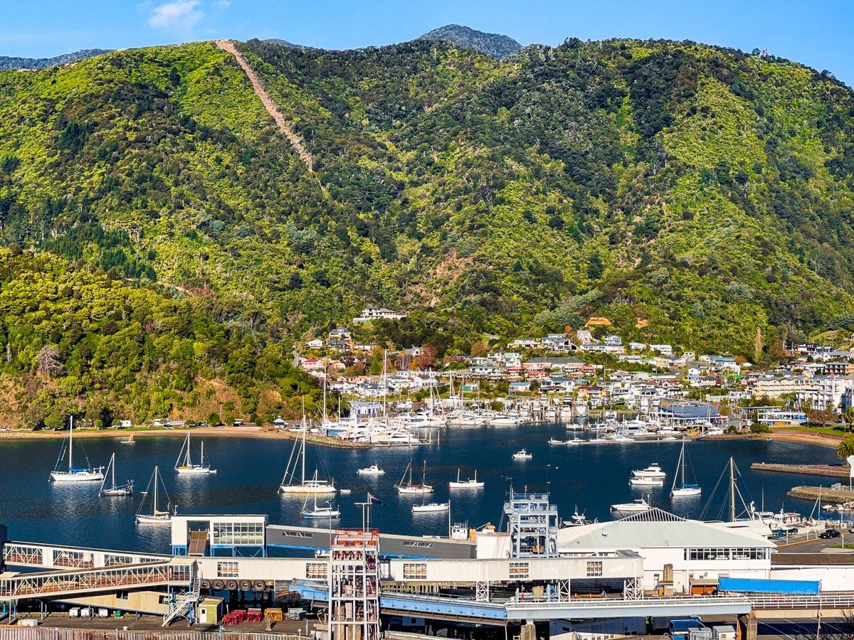
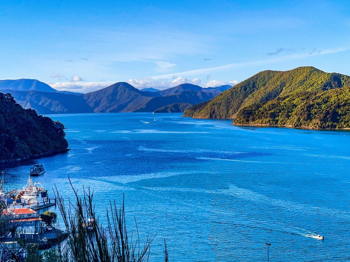
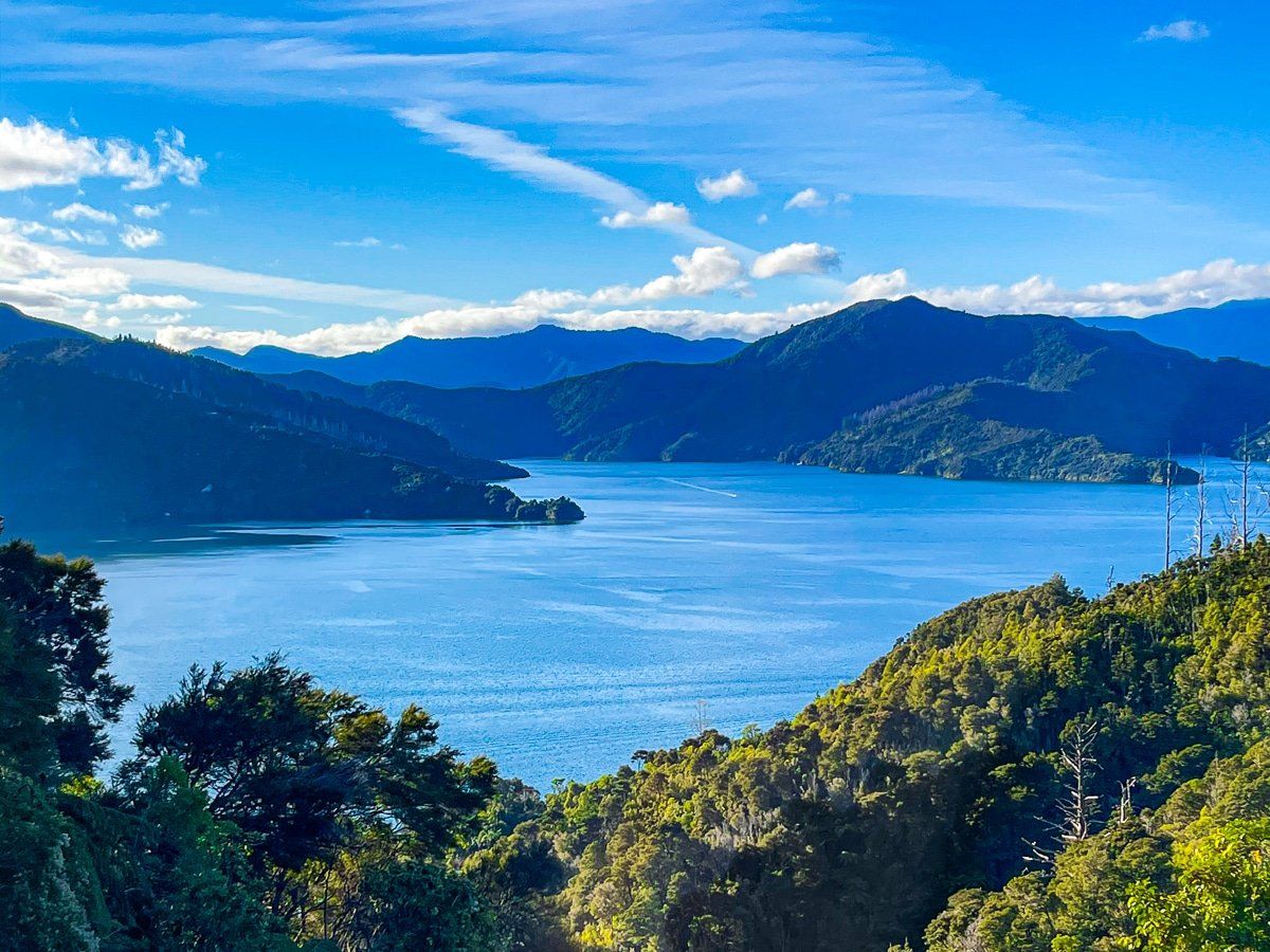
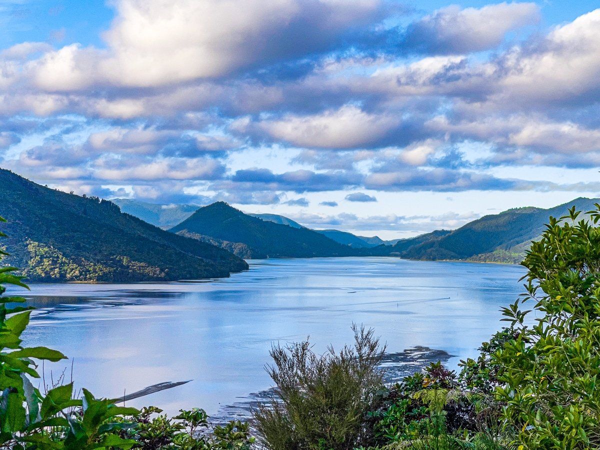
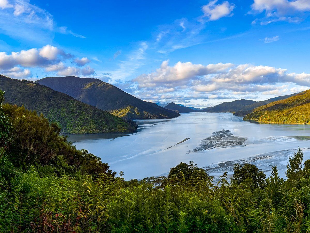
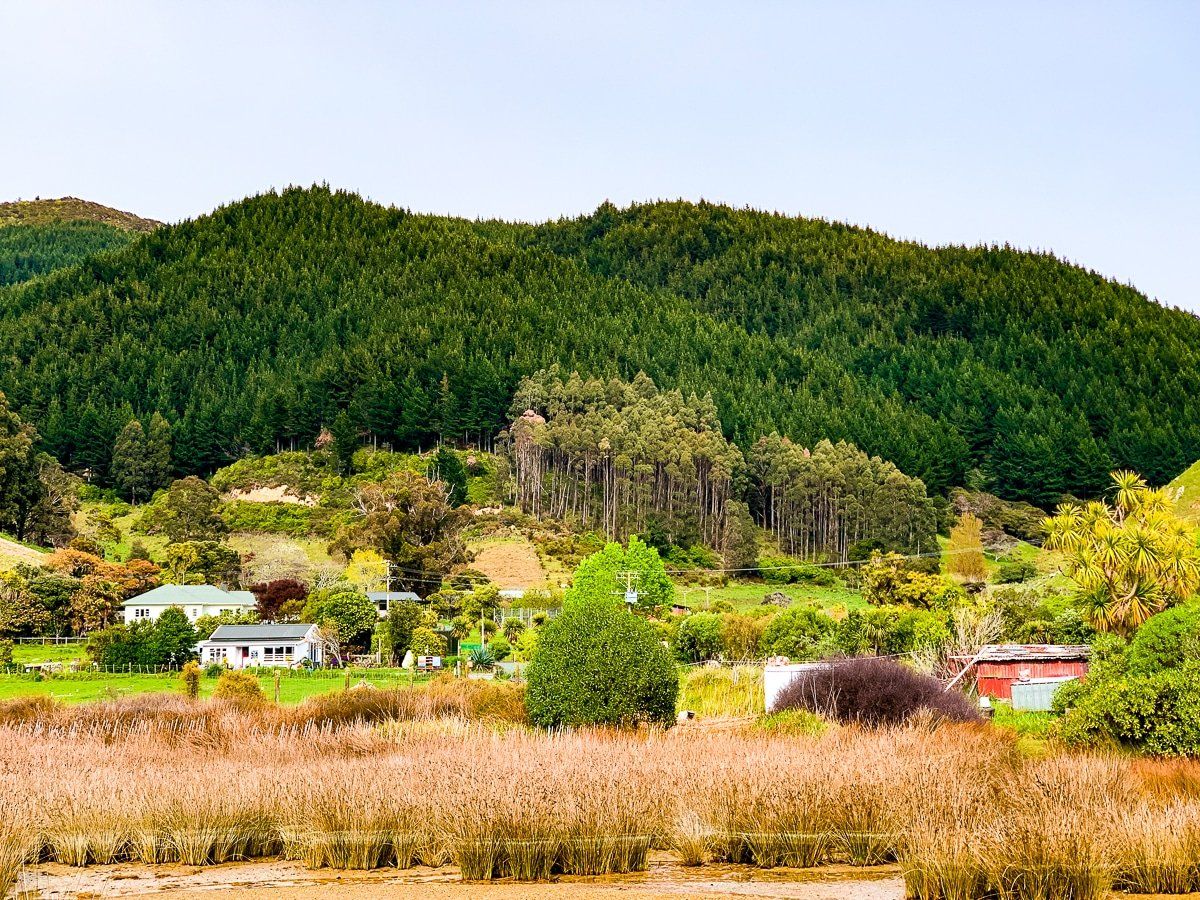
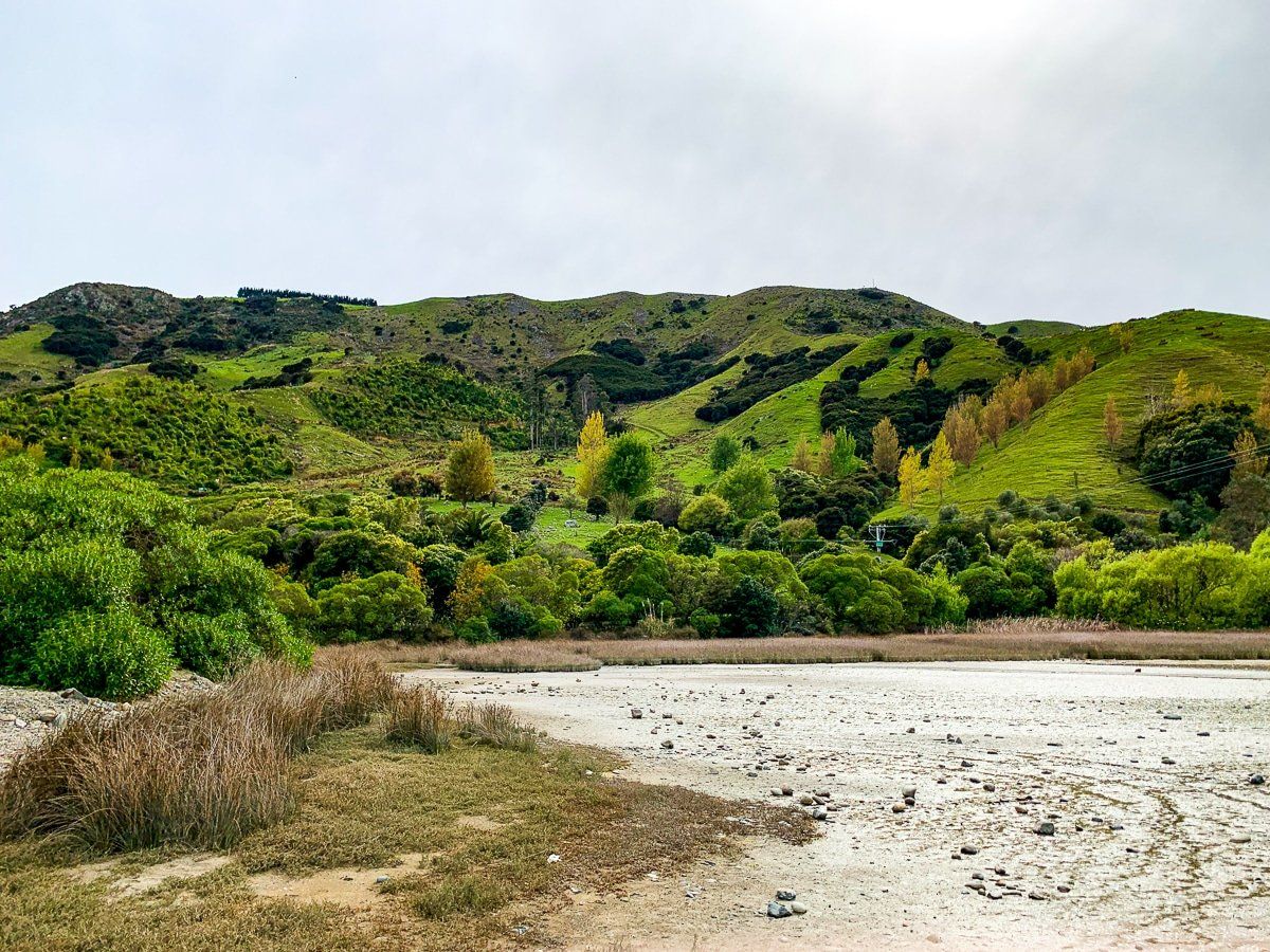
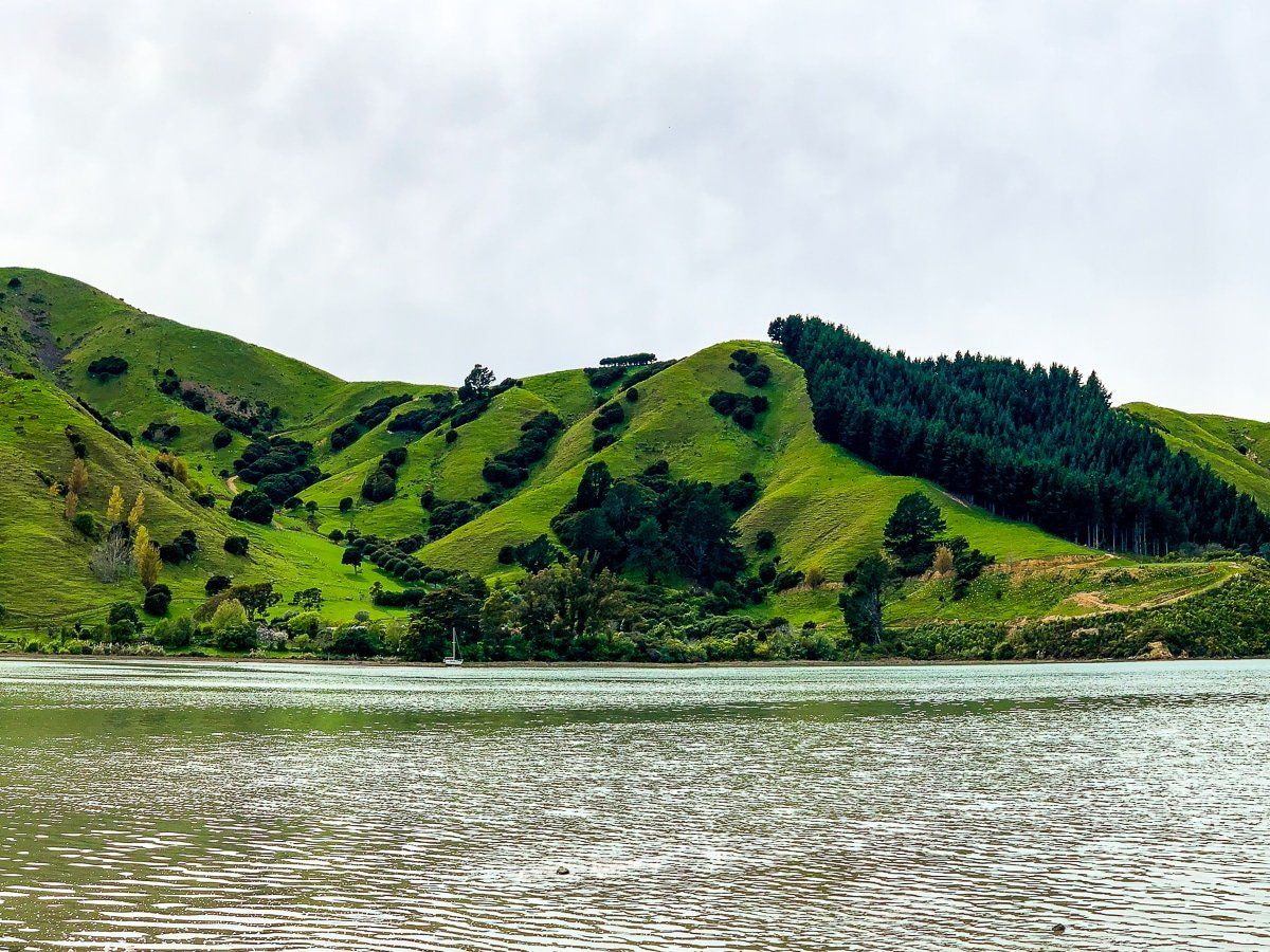
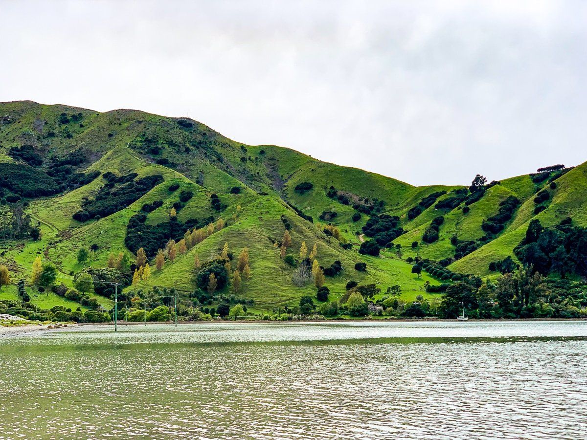
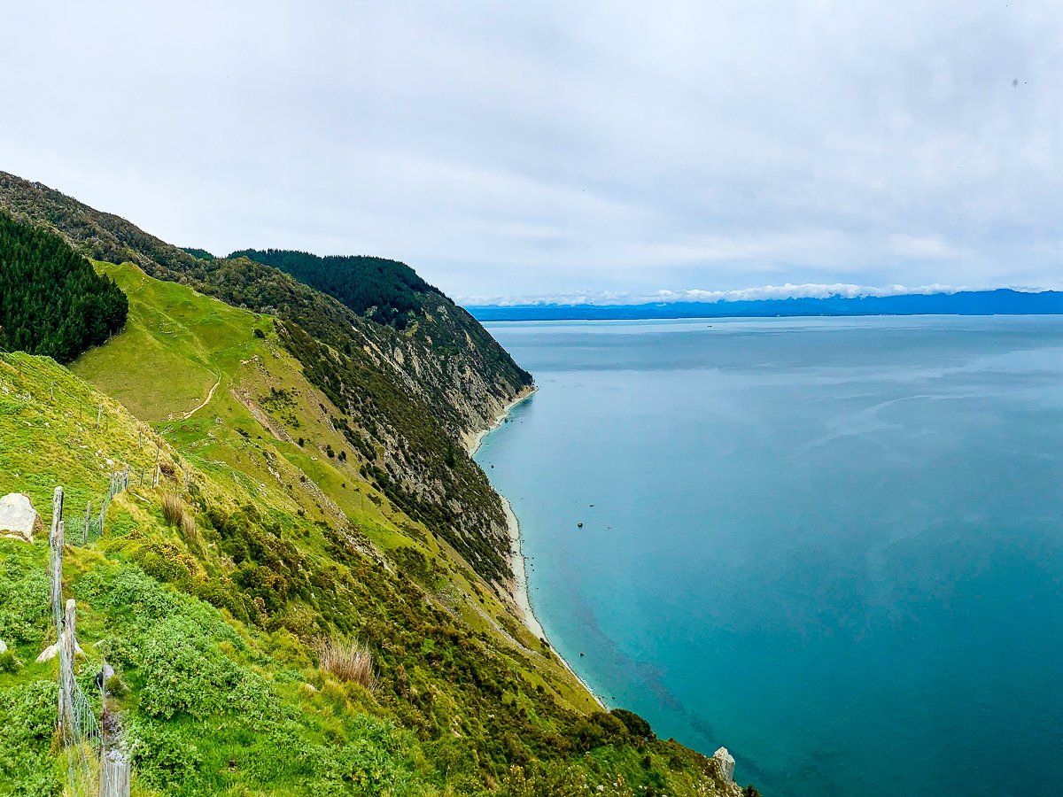
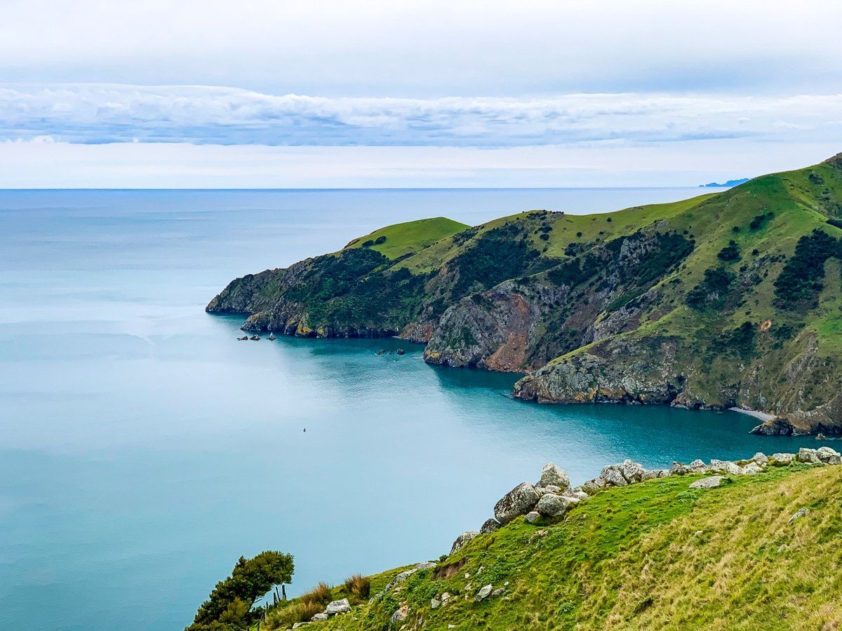
Queen Charlotte Drive is both windy and spectacular. It follows the often steep edge of Queen Charlotte Sound, overlooking Picton Harbour to begin with, then following Grove Arm before going through Linkwater to connect with Mahakipawa Arm and Pelorus Sound. There are several excellent stopping points with fantastic views over the Sounds, plus some campsites.
After Havelock the drive is much less windy, but continues to be scenic, with Pelorus Bridge and Cable Bay as the highlights.
Picton
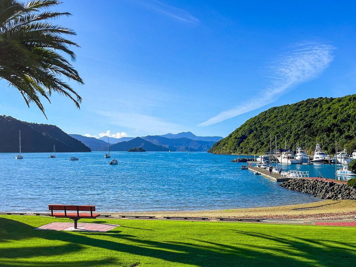
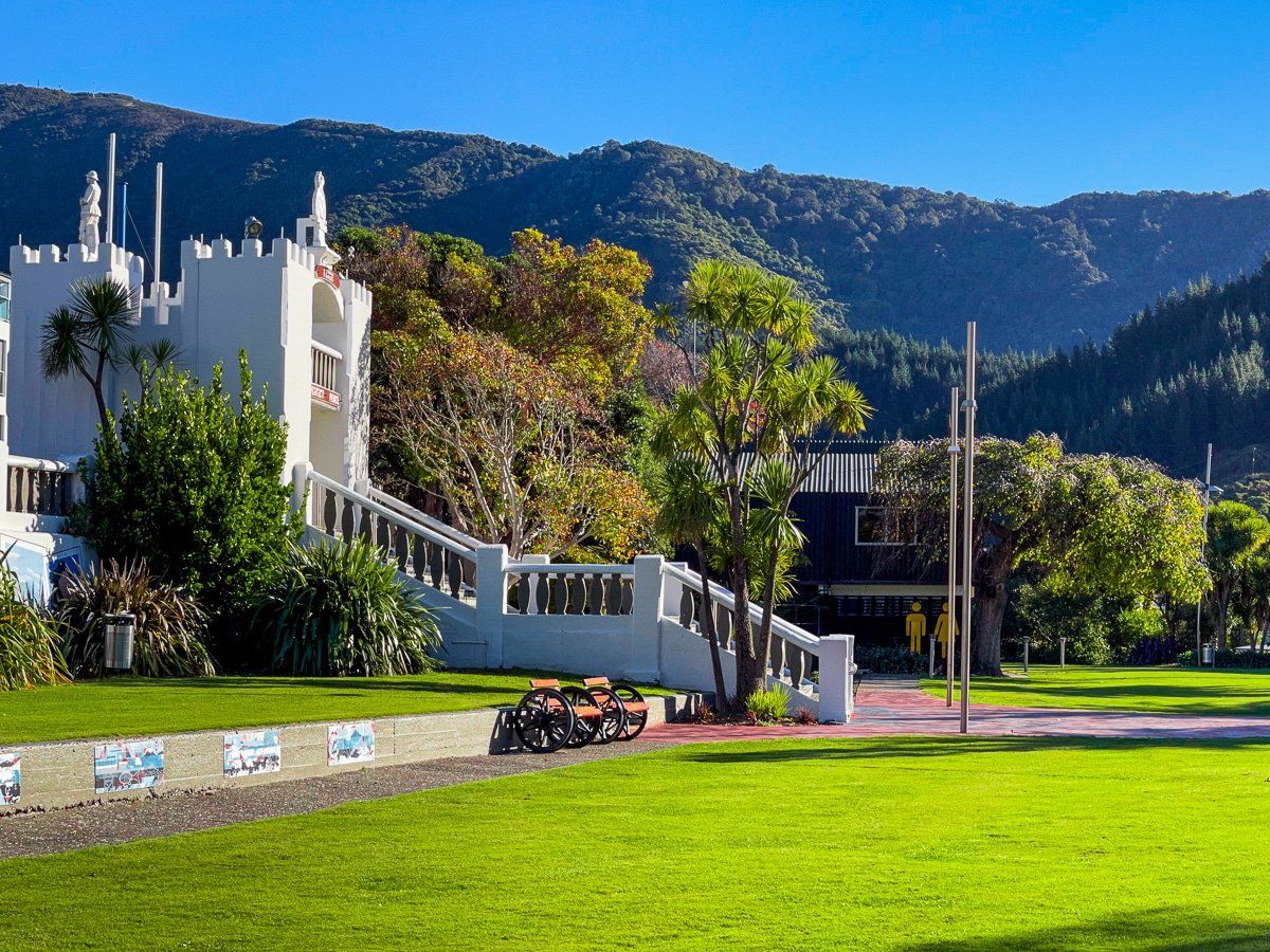
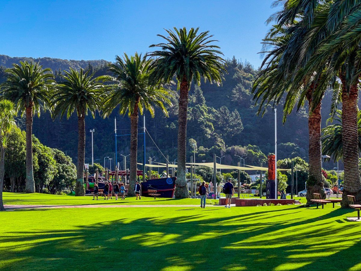
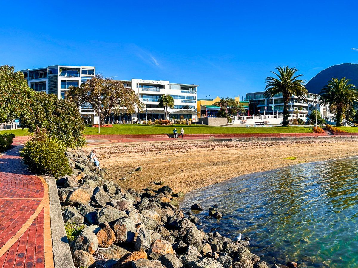
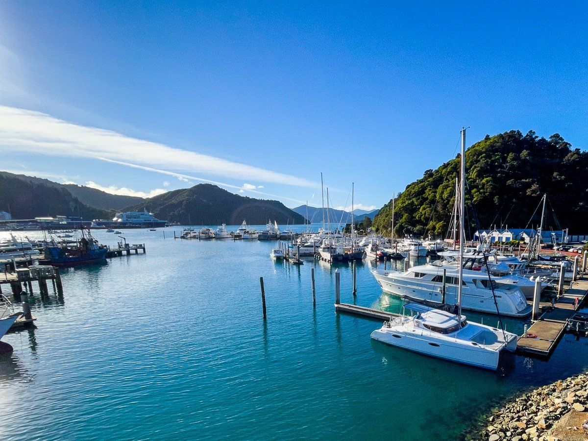
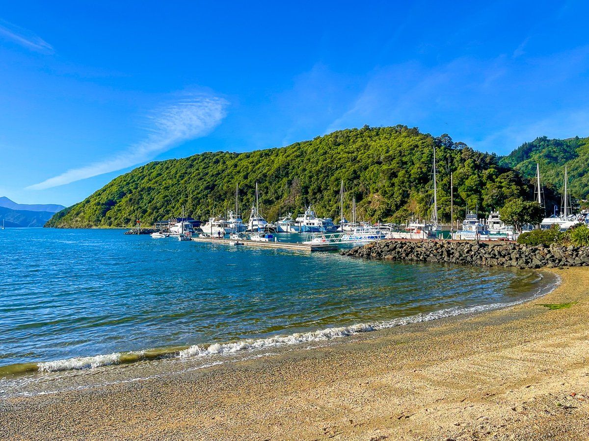
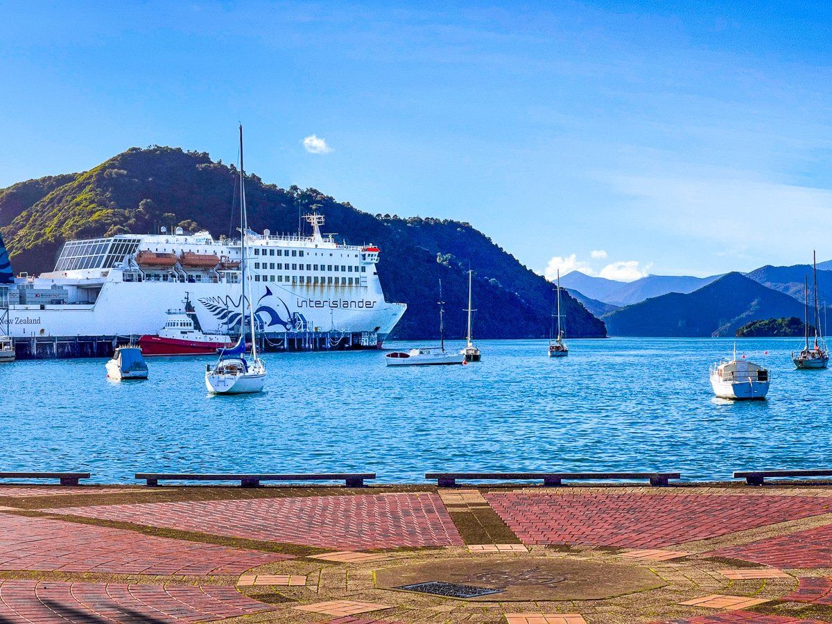
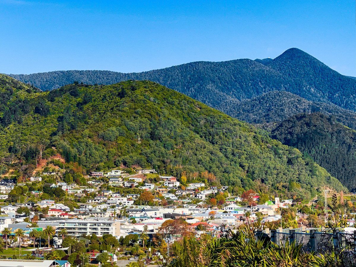
Once upon a time, the only reason anyone went to Picton was the Interislander ferry. Picton still has the facilities of a commercial port, but the town has really developed, based around a beach and pretty reserve, with cafes, bars and a marina on the southeast side of the port. When we visited, Picton had an almost tropical vibe – blue skies, golden sand, palm trees and green forest on the hills.
Queen Charlotte Drive
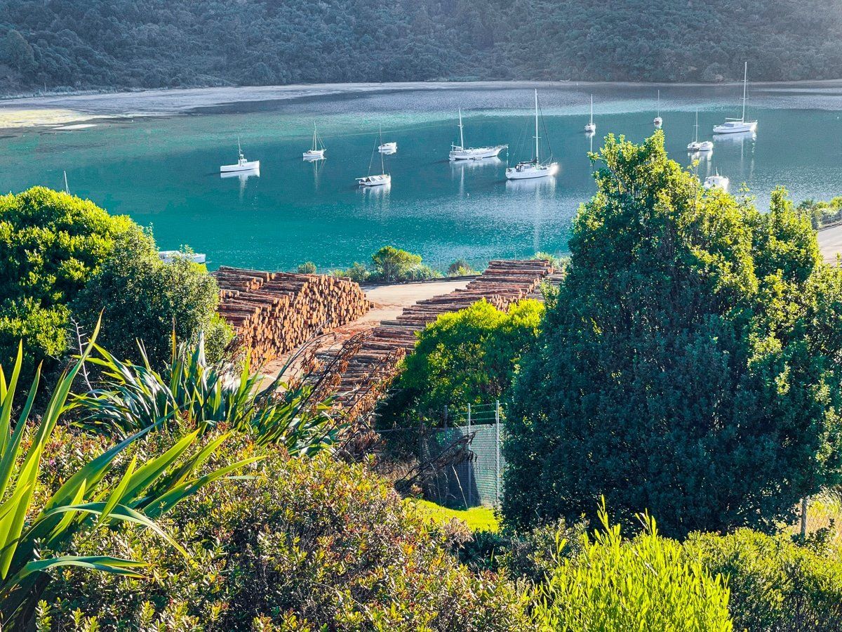
Queen Charlotte Drive is one of the best coastal drives in New Zealand, with spectacular views above Picton Harbour, Shakespeare Bay and Edge Point. The drive winds through the hills, but it’s a sealed, well maintained road. Further along there are small accessible bays at Ngakuta, Momrangi and Aussie – you can also camp at the latter two.
About halfway along Queen Charlotte Drive there’s an inland section from Linkwater to Pelorus Sound. You can access Pelorus Sound from Kenepuru Road, or continue on to connect with Pelorus Sound at Mahakipawa Arm.
At Havelock, the Drive connects to State Highway 6, which takes you the rest of the way to Nelson.
Pelorus Sound viewpoint
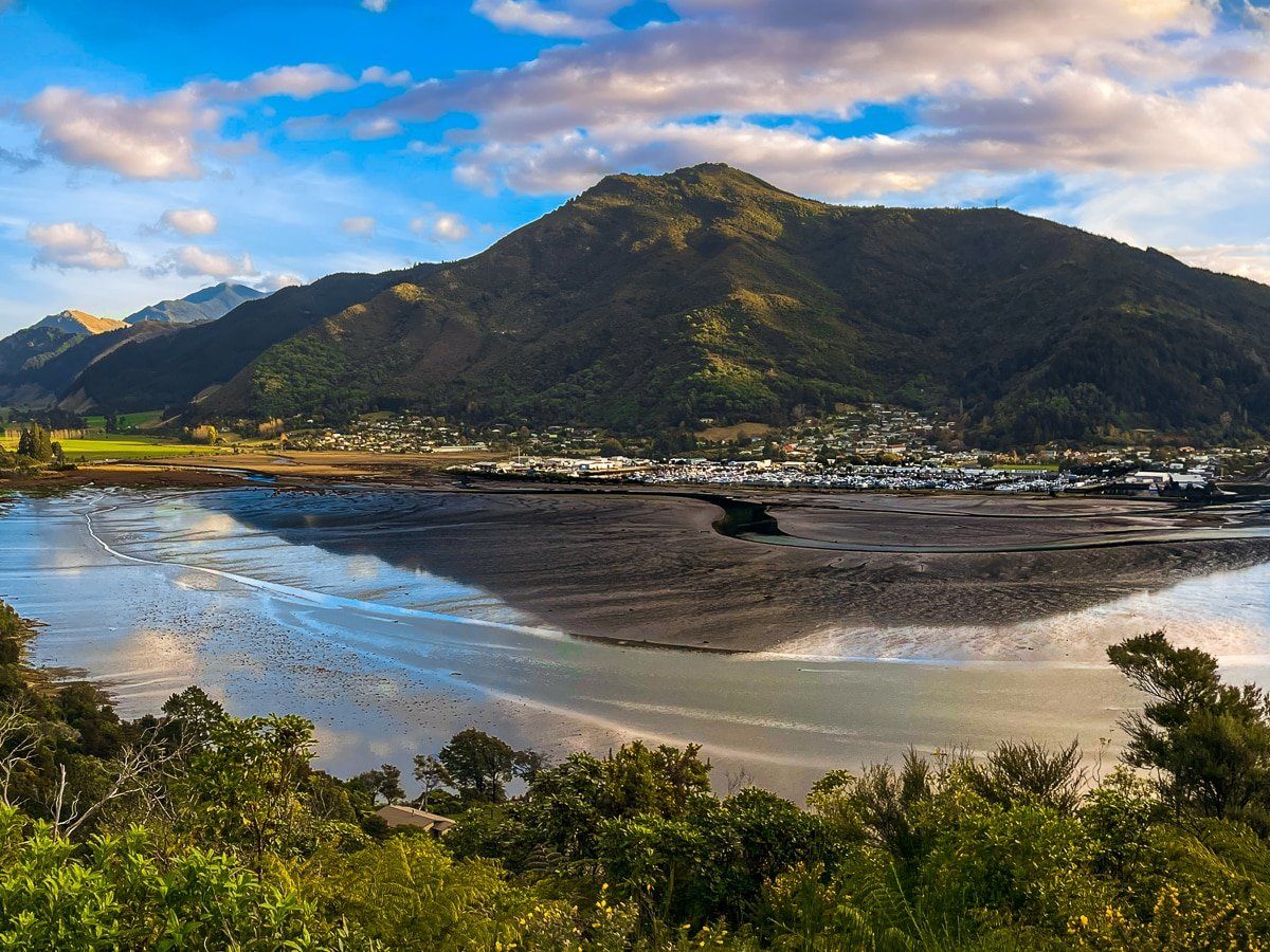
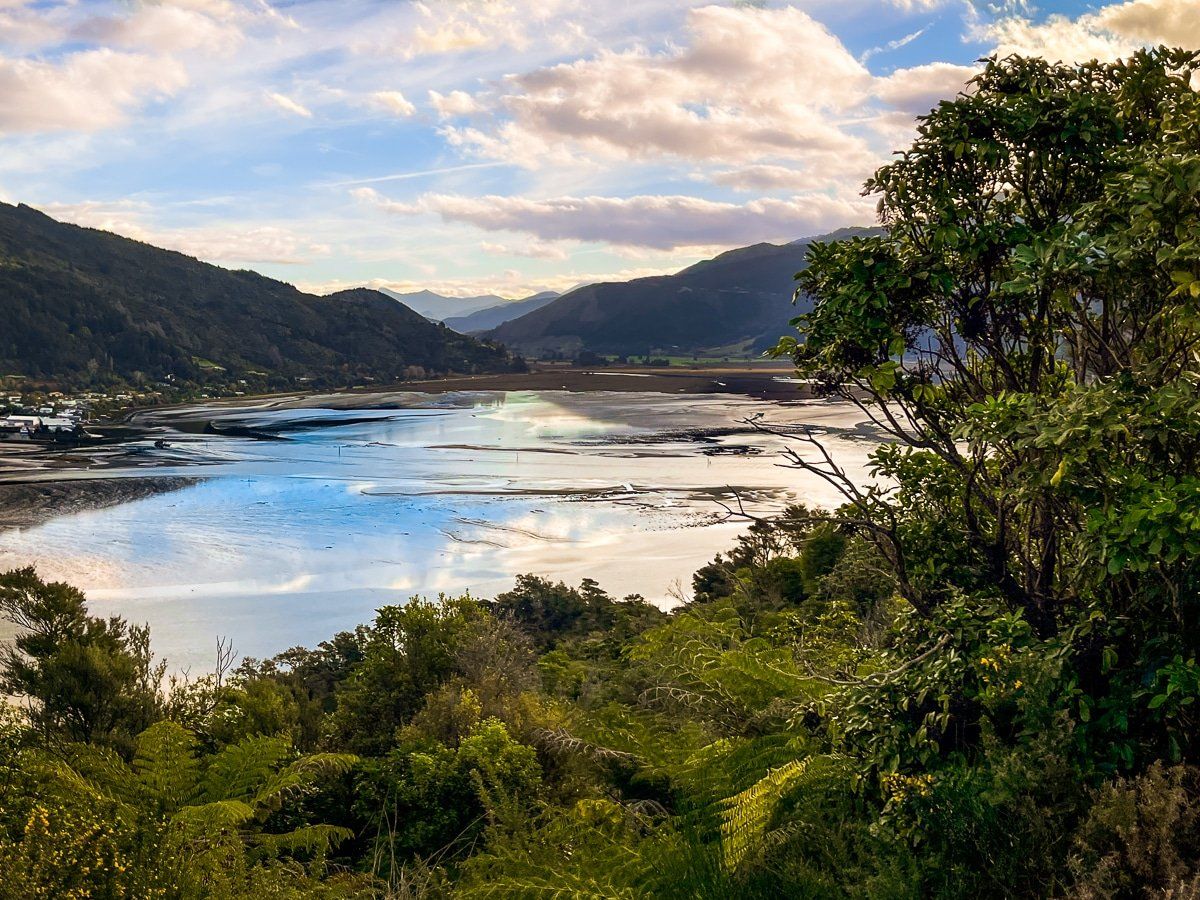
Shortly before Havelock, there’s a car park and short walk at Cullen Point, with wide views of Pelorus Sound and Havelock. It’s absolutely worth the stop, and if you have more time there’s a track around and to the top of Cullen Point.
Pelorus Bridge
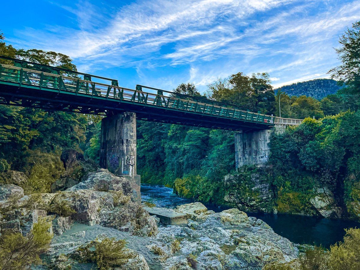
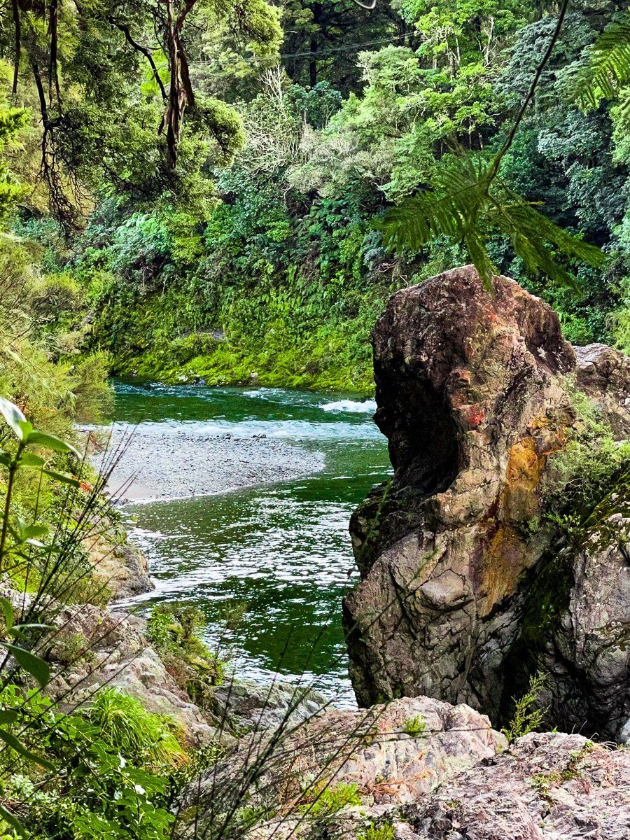
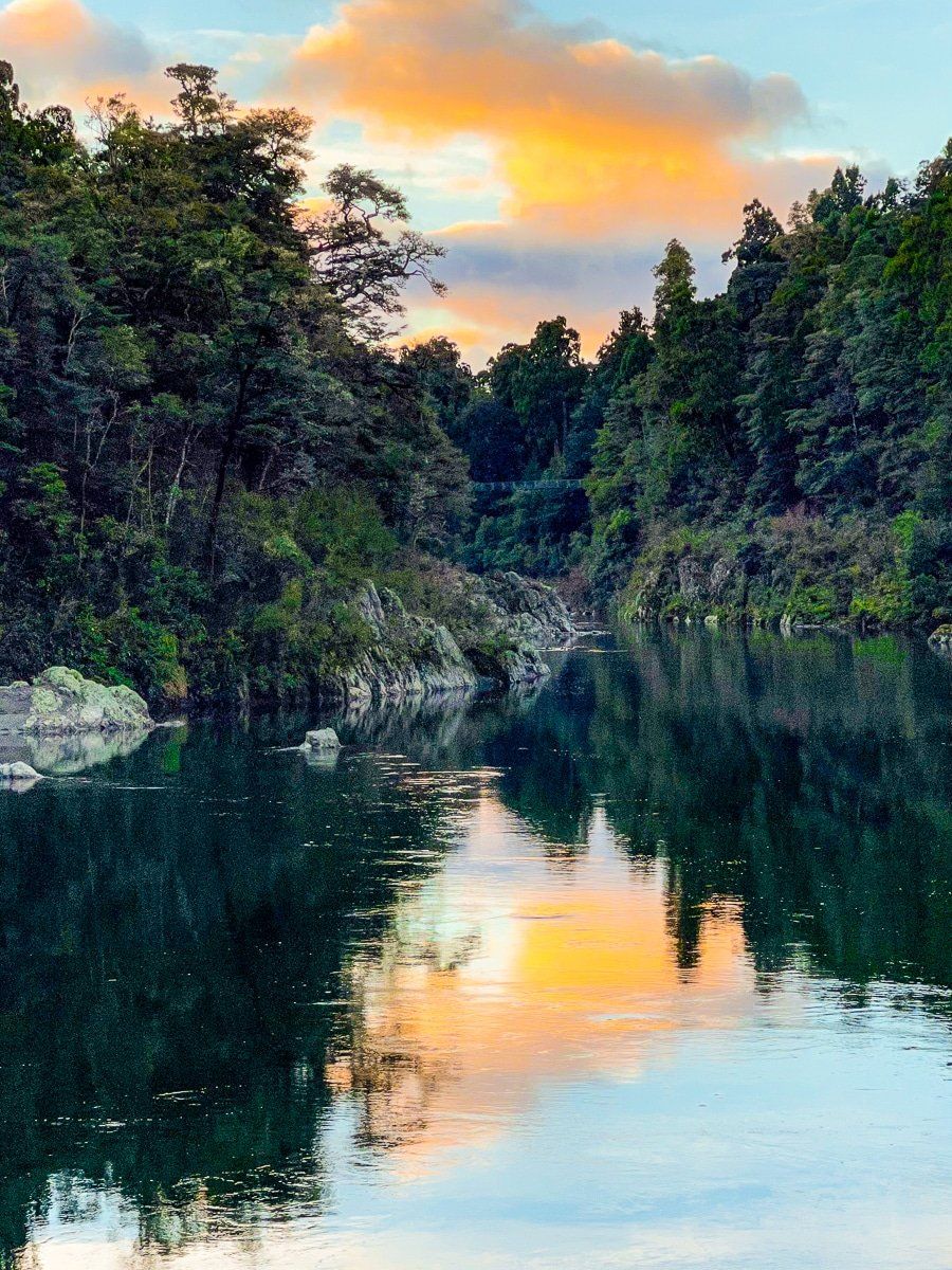
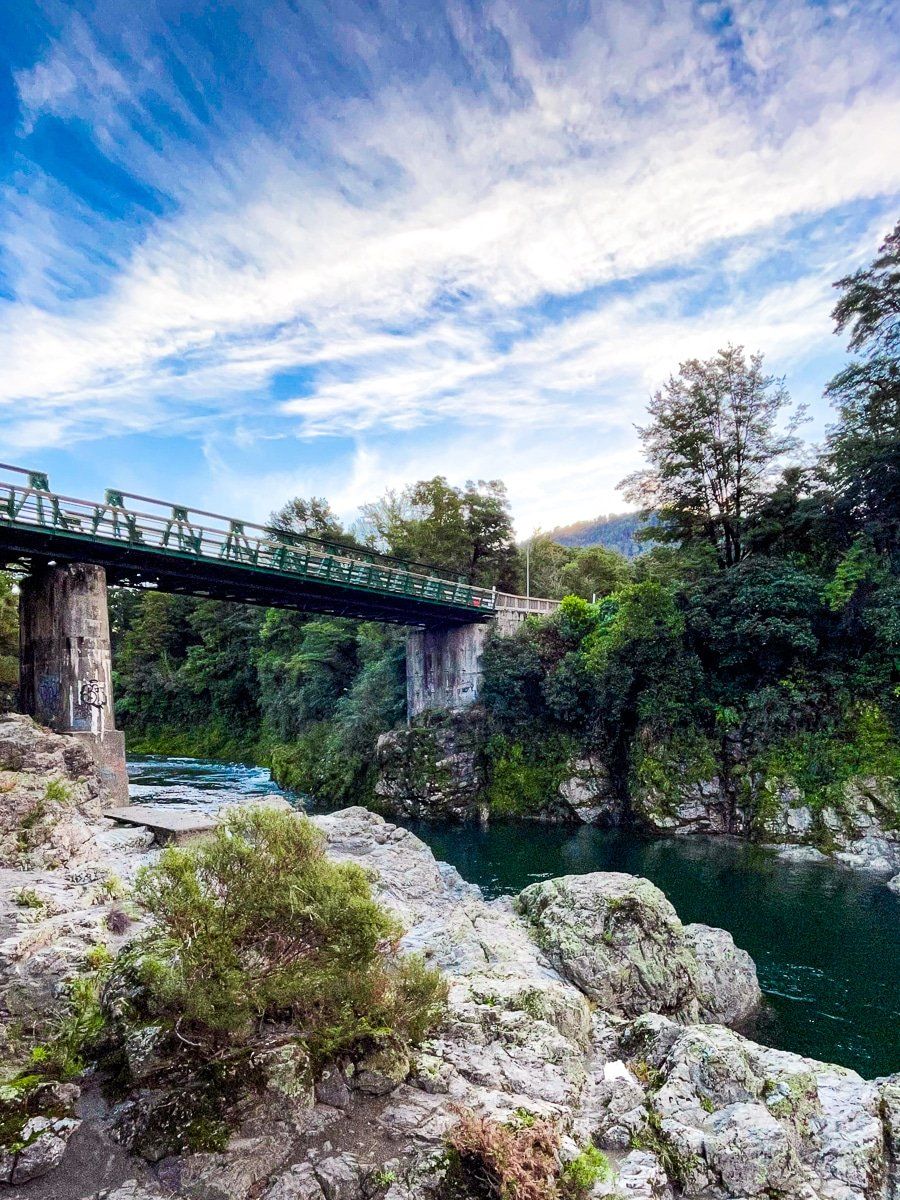
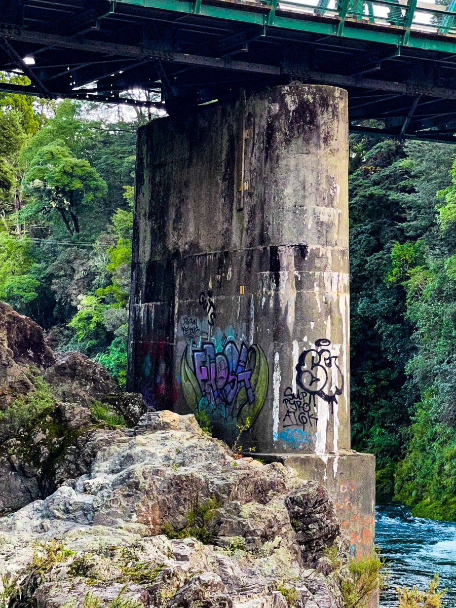
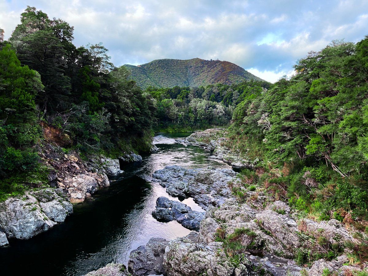
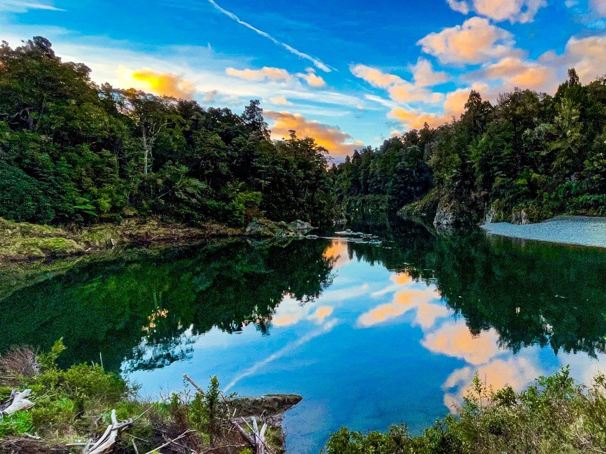
Try to give Pelorus Bridge and the surrounding area plenty of time for a stop. It’s very pretty, with several hiking tracks, a cafe and campground, some remnant native forest and regrowth, an interesting historic bridge, and access to Te Hoiere Pelorus River and Te Araroa. The walking and hiking options include short walks to the river, 30 minute loop tracks on either side of the river, and a four hour loop up to the 417 metre summit of Trig K.
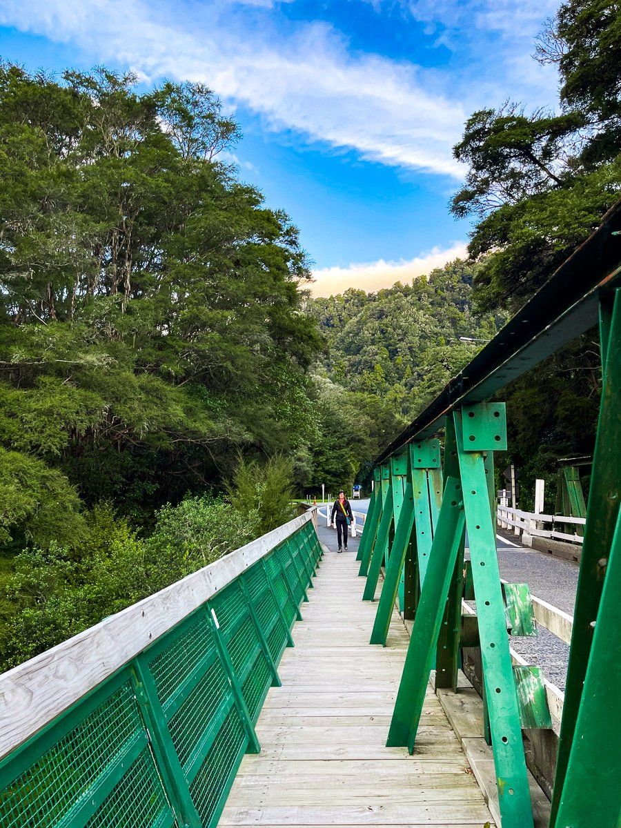
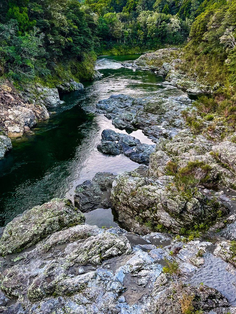
If you’re short on time, walk out onto the bridge on the footpath for the view up the river gorge. Where you access the bridge, there are also some steps down to the rocks beside the river.
Pelorus Bridge: Tōtara Walk
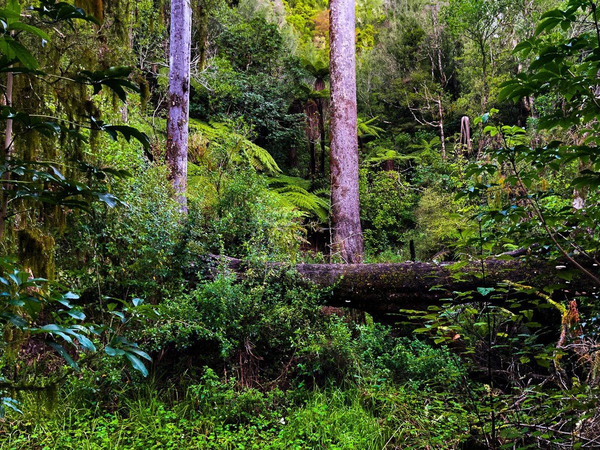
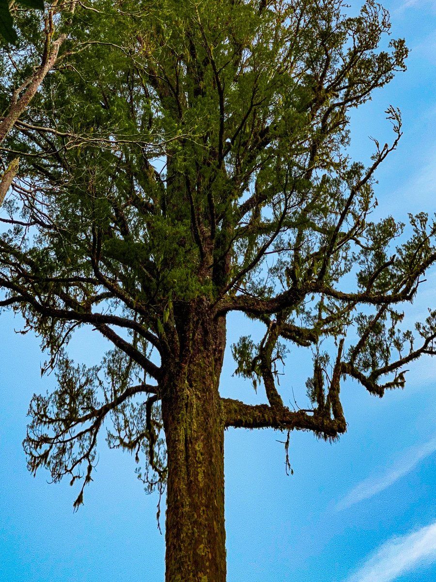
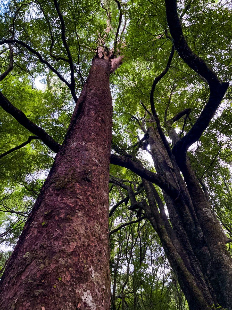
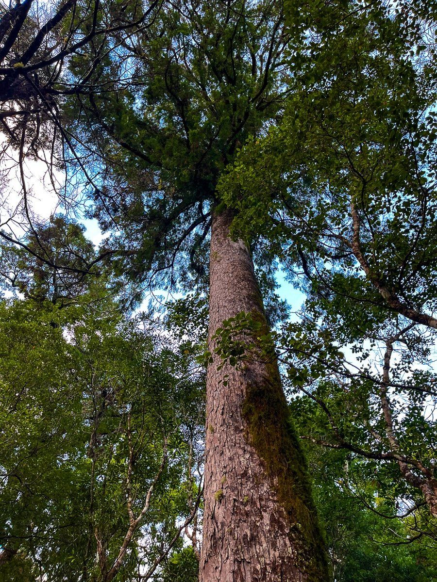
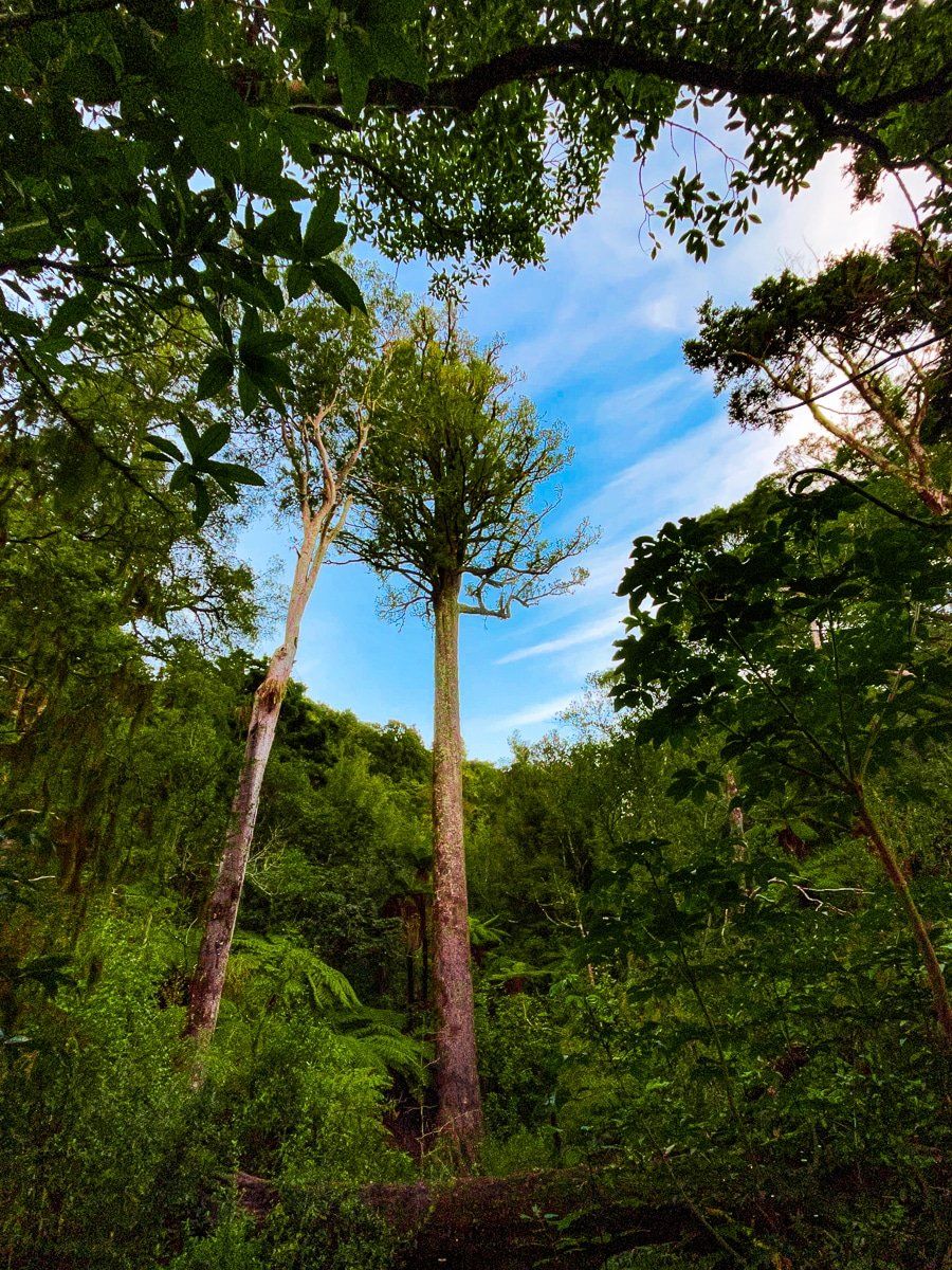
The Tōtara walk is one of the two shorter loop tracks at Pelorus Bridge, with access immediately across the road from the main car park. The track takes you through a remnant forest of large native trees that includes an ancient giant Tōtara, with sidetracks down to the river and to the picturesque Tōtara Flat picnic area.
There’s also the Circle Walk on the other side of the river – to reach it, cross the bridge on the west side, then follow the track to a swing bridge.
Rotokura Cable Bay
Rotokura Cable Bay is a side trip from State Highway 6, shortly before the outskirts of Nelson. The English name of the bay arose from it being the landing site for the first trans-Tasman telegraph cable in 1876. Today it’s still the site for a fibre optic cable between the North and South islands.
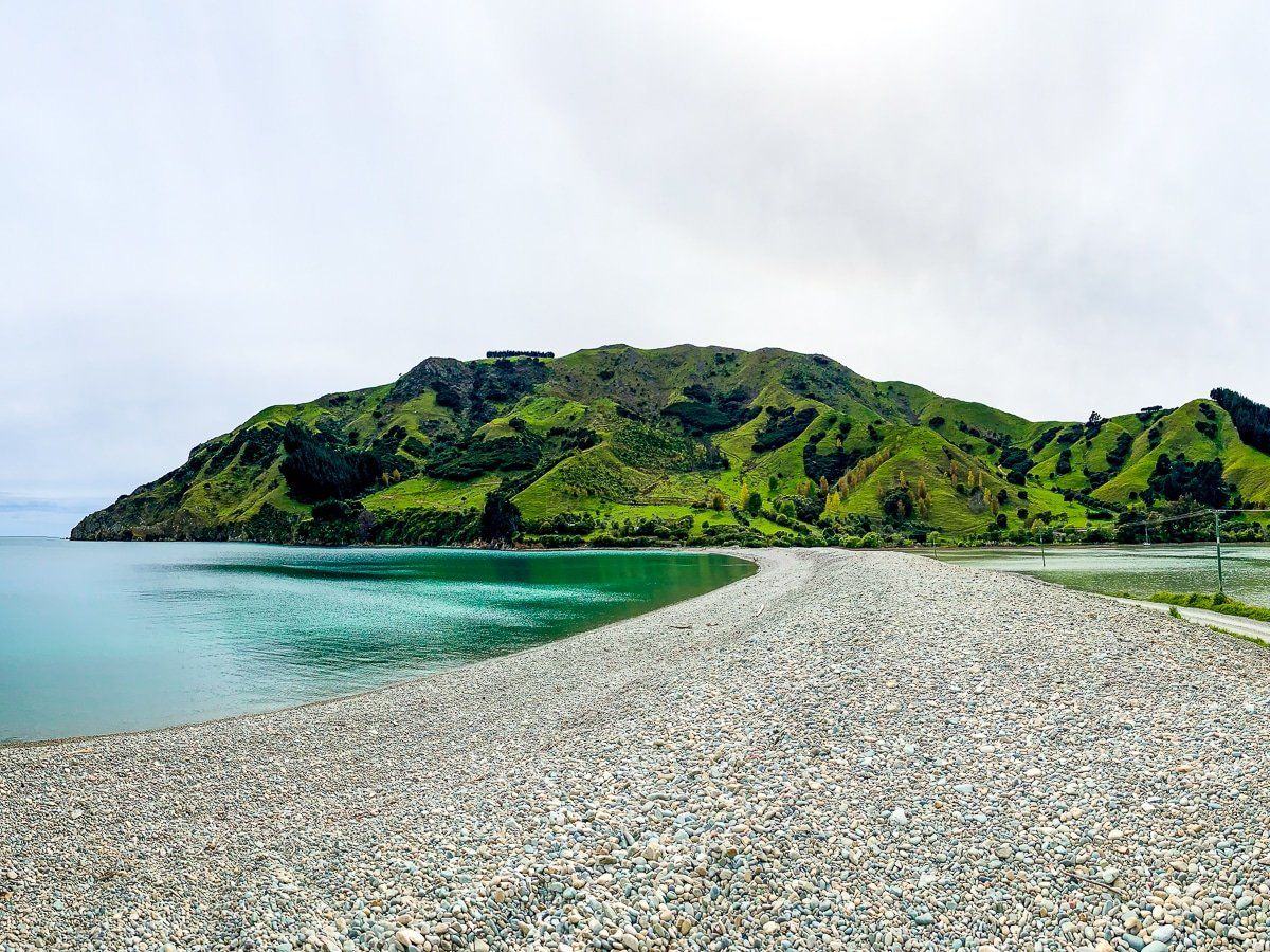
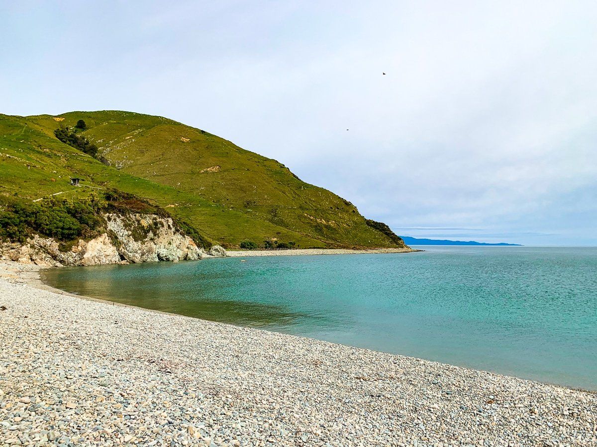
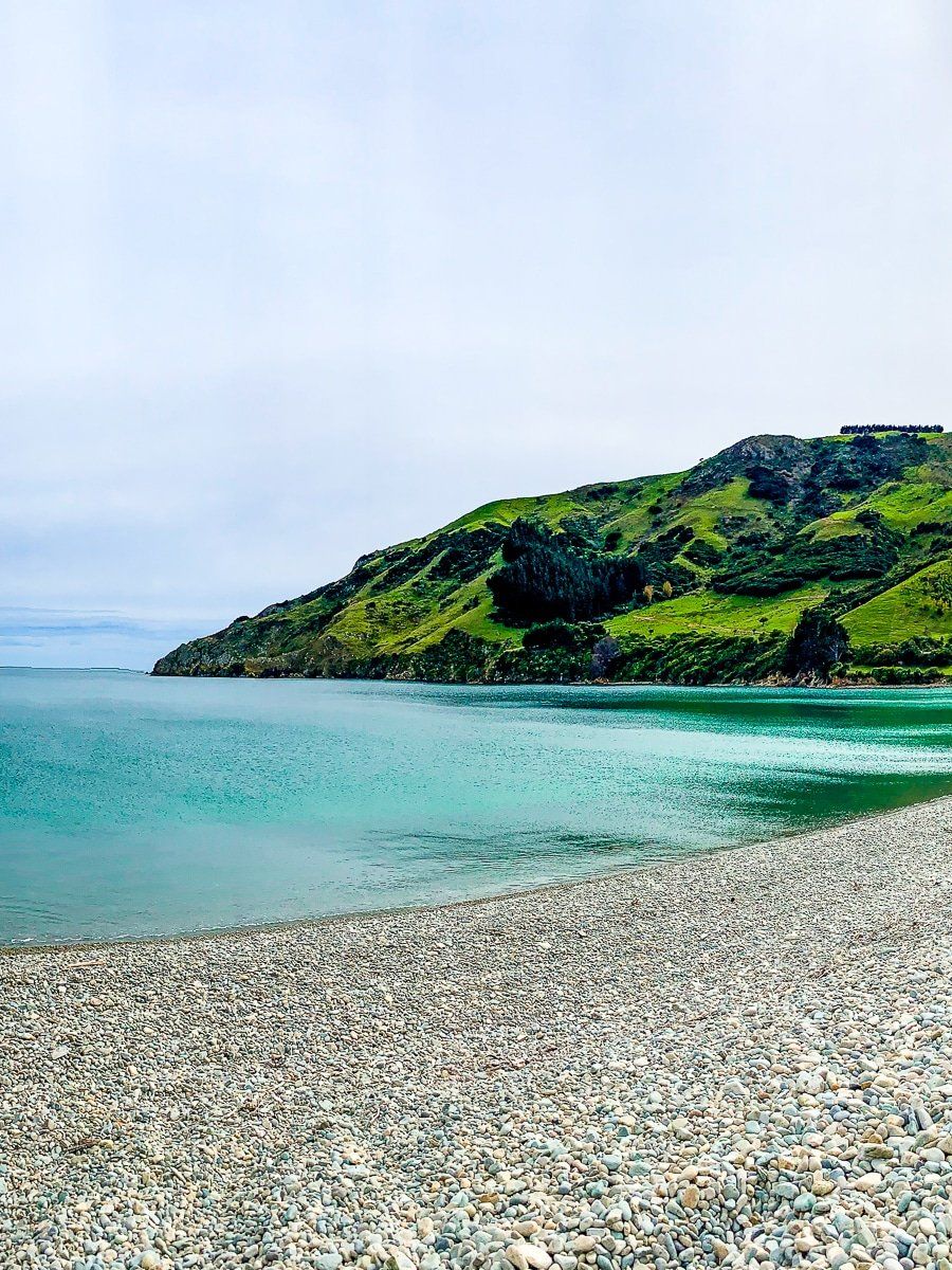
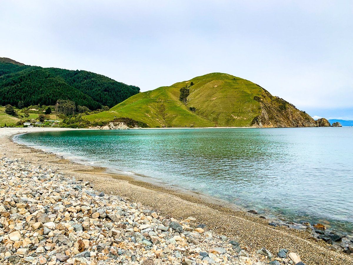
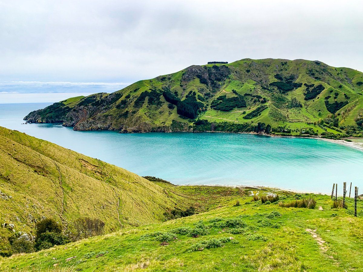
Cable Bay itself is unusual, in that it’s defined by a pebble beach and boulder bank that connects the mainland with Pepin Island. Behind the boulder bank is the Wakapuaka Estuary, and there are picnic facilities on the boulder bank, plus access to the Cable Bay Walkway at the southwest end. However, the real attraction is the striking views you can get looking across the boulder bank to the intensely green Pepin Island.
Cable Bay track
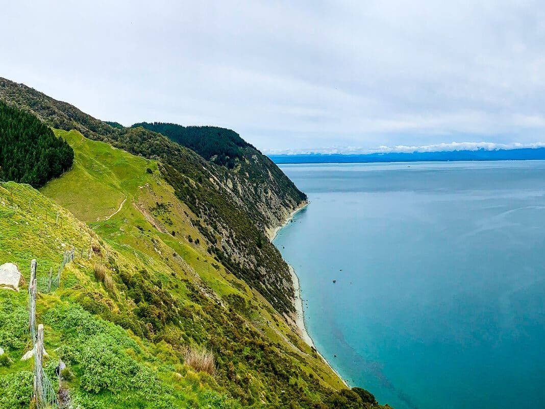
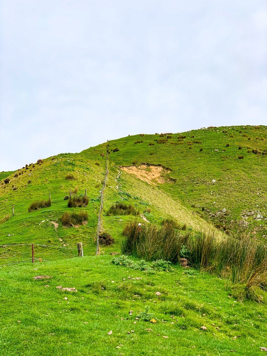
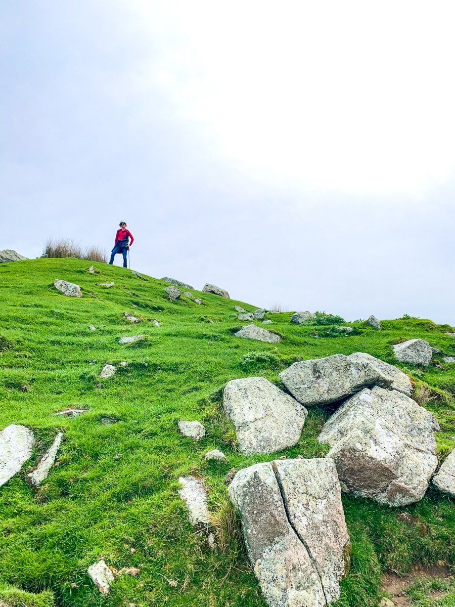
The Cable Bay track starts beside the main car park at the southwest end of the boulder bank. From there, head straight up to the top of the grassy hill, 250 metres above the bay. This is all about the views, which are superb. From the top, you get a sense of how big Tasman Bay is – you’re looking across the bay to Abel Tasman National Park.
You can continue on the walkway through a mix of farmland, exotic pines and native bush for a couple of hours to Gleduan, a small beachside settlement to the northeast of Nelson. This beach is basically pebbles and rocks, which has its own attraction.
Want more Marlborough trip ideas?
Check out our recent posts about Cloudy Bay Te Kopo O Kupe and Clifford Bay.
