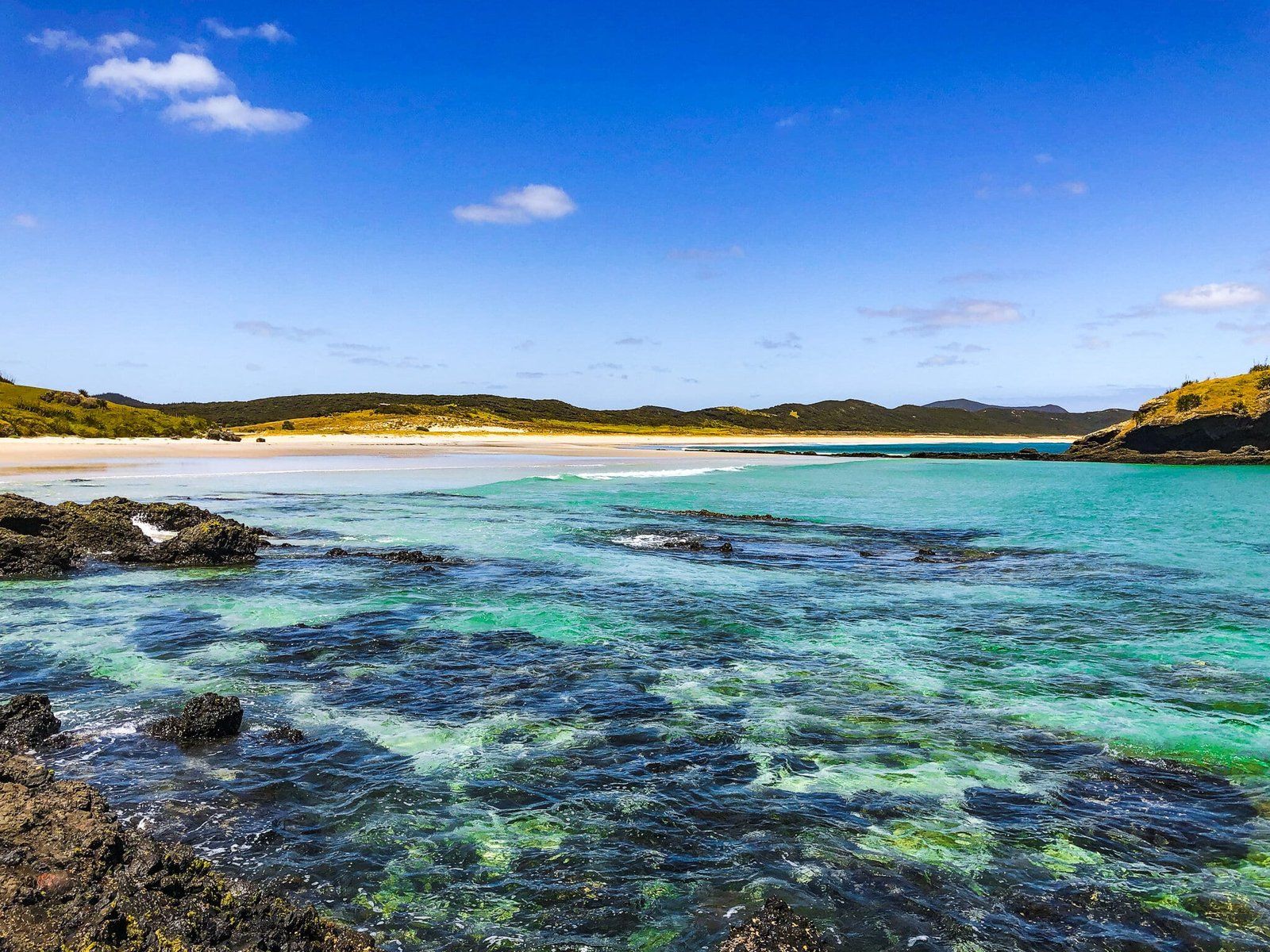
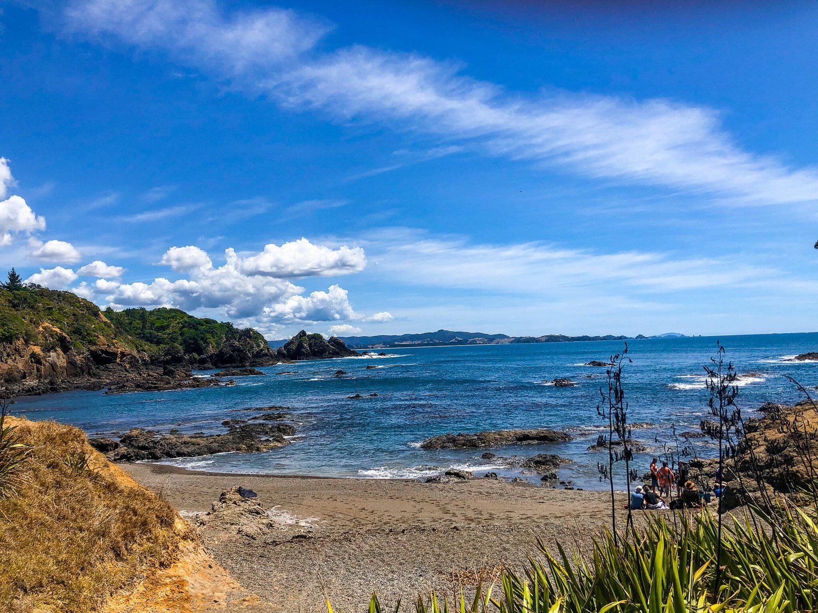
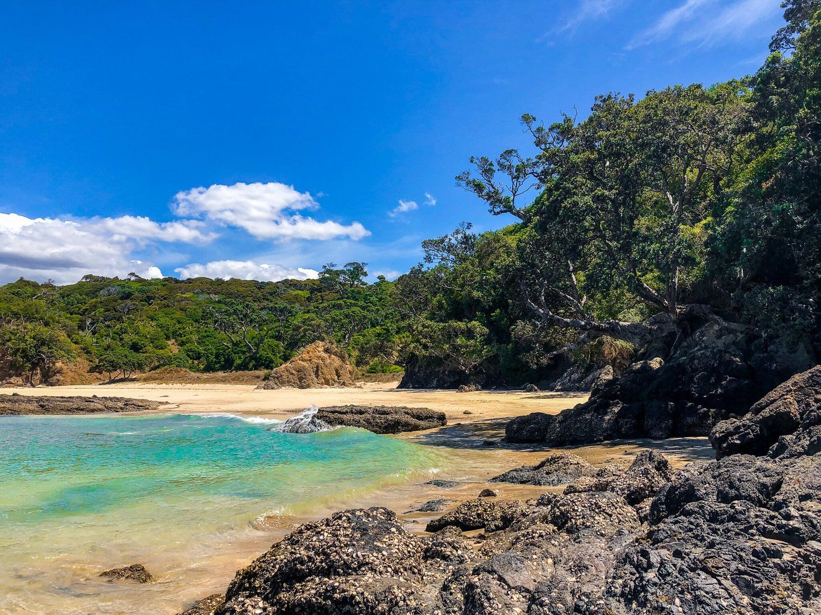
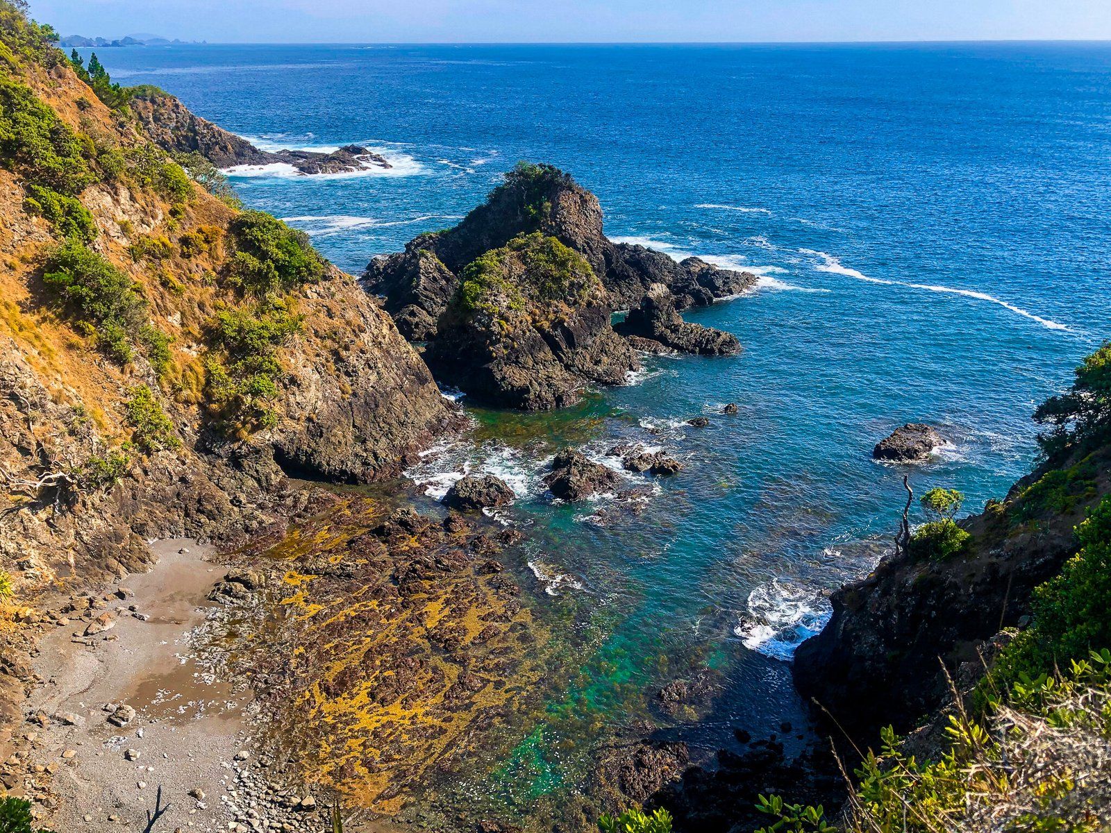
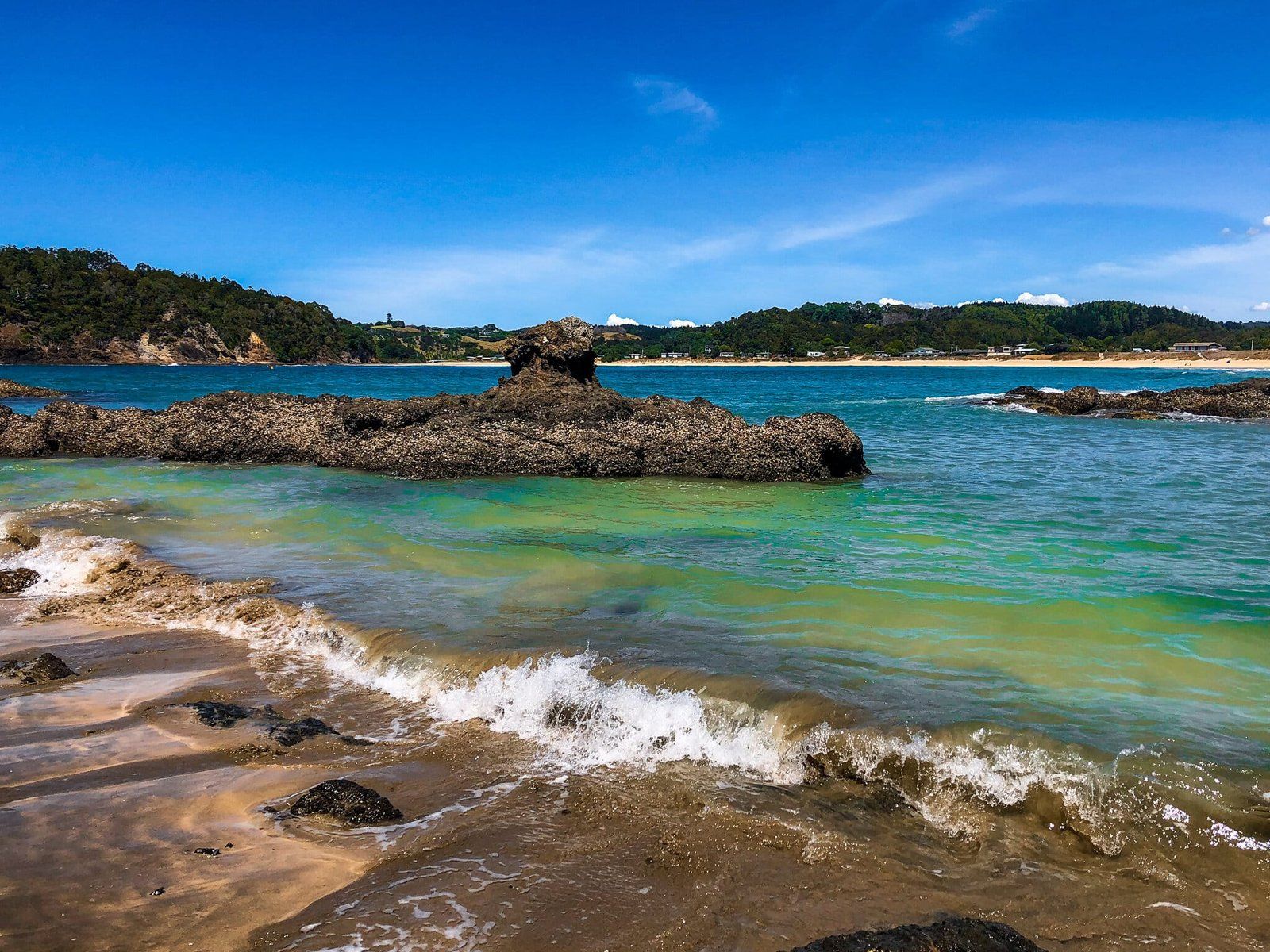
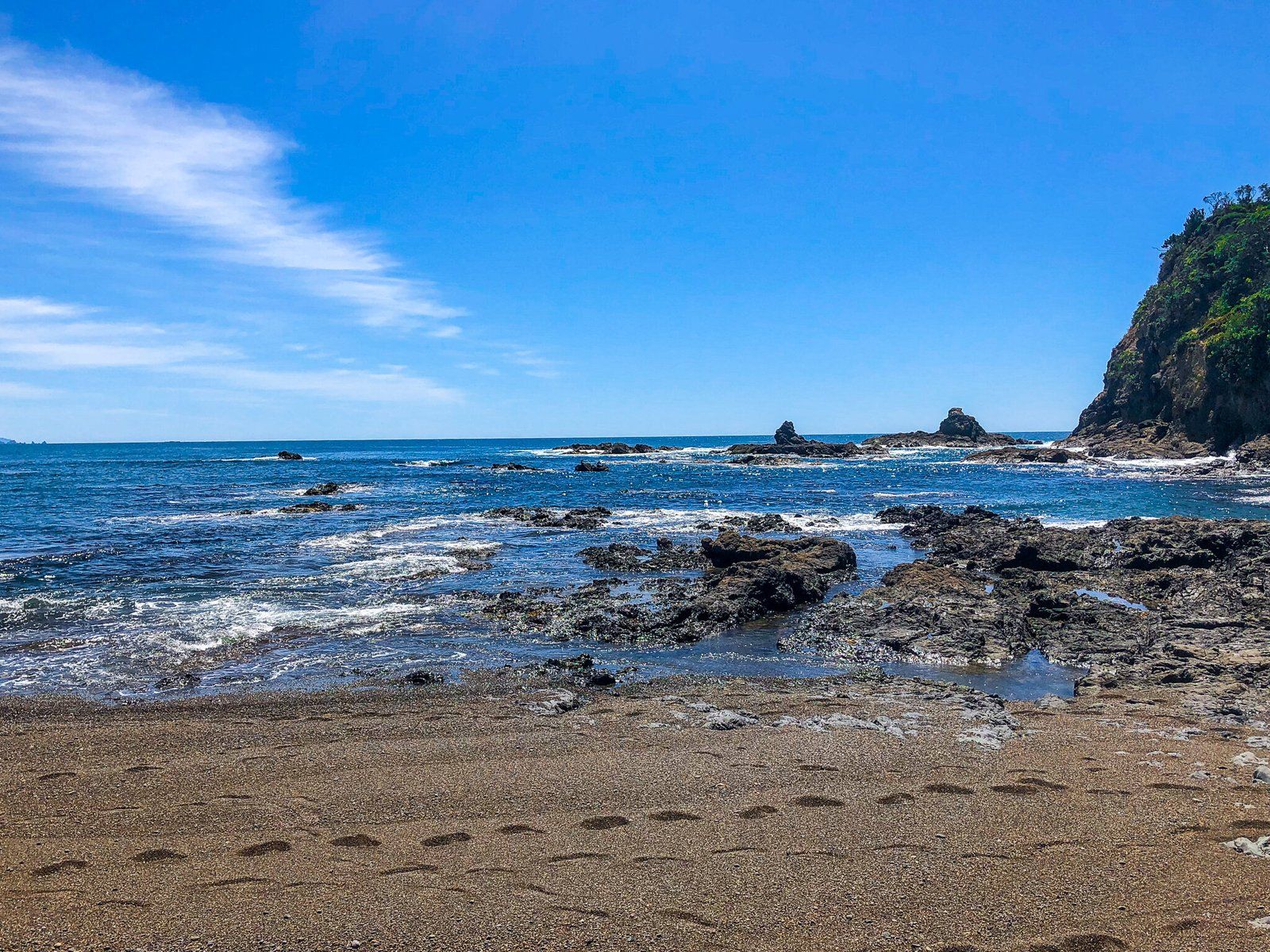
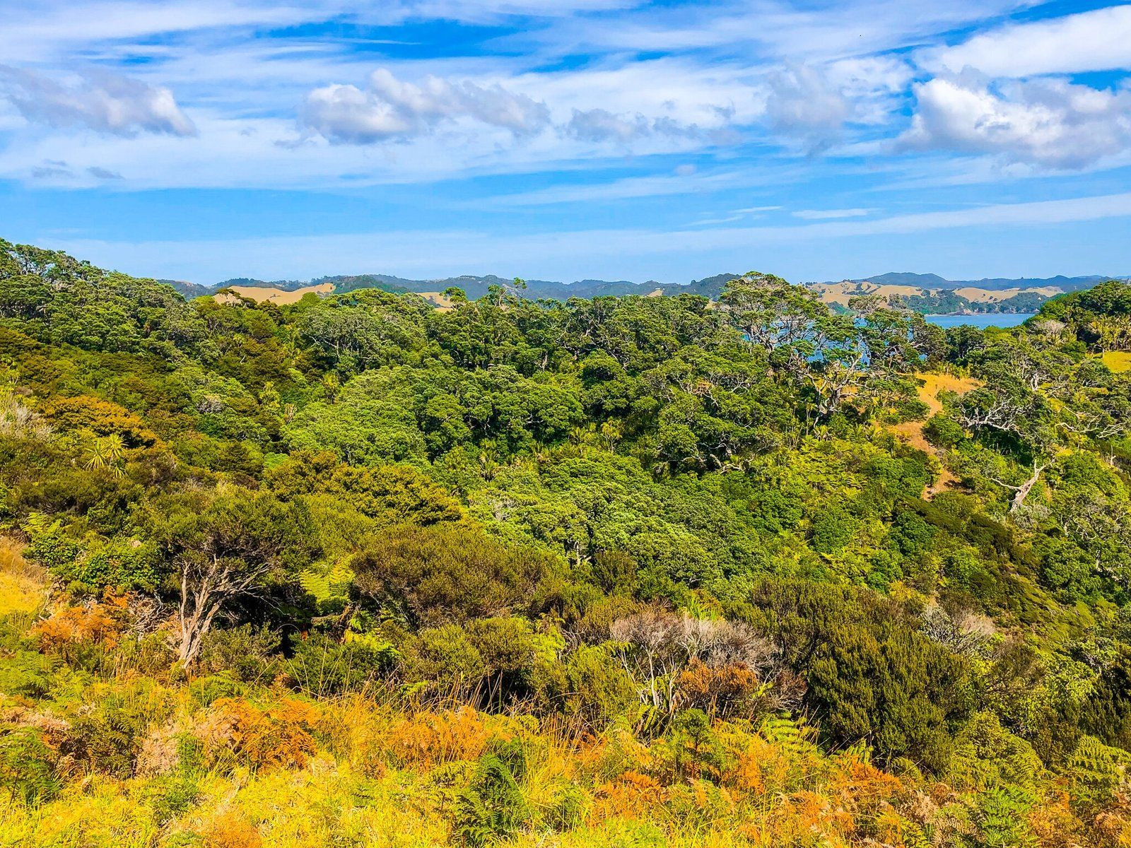
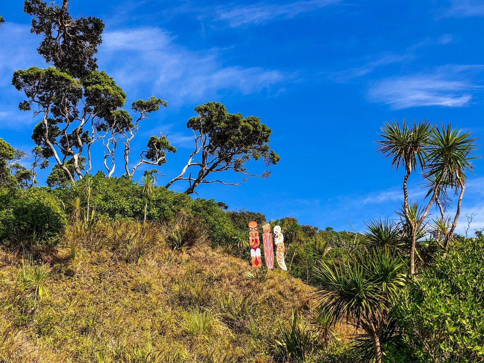
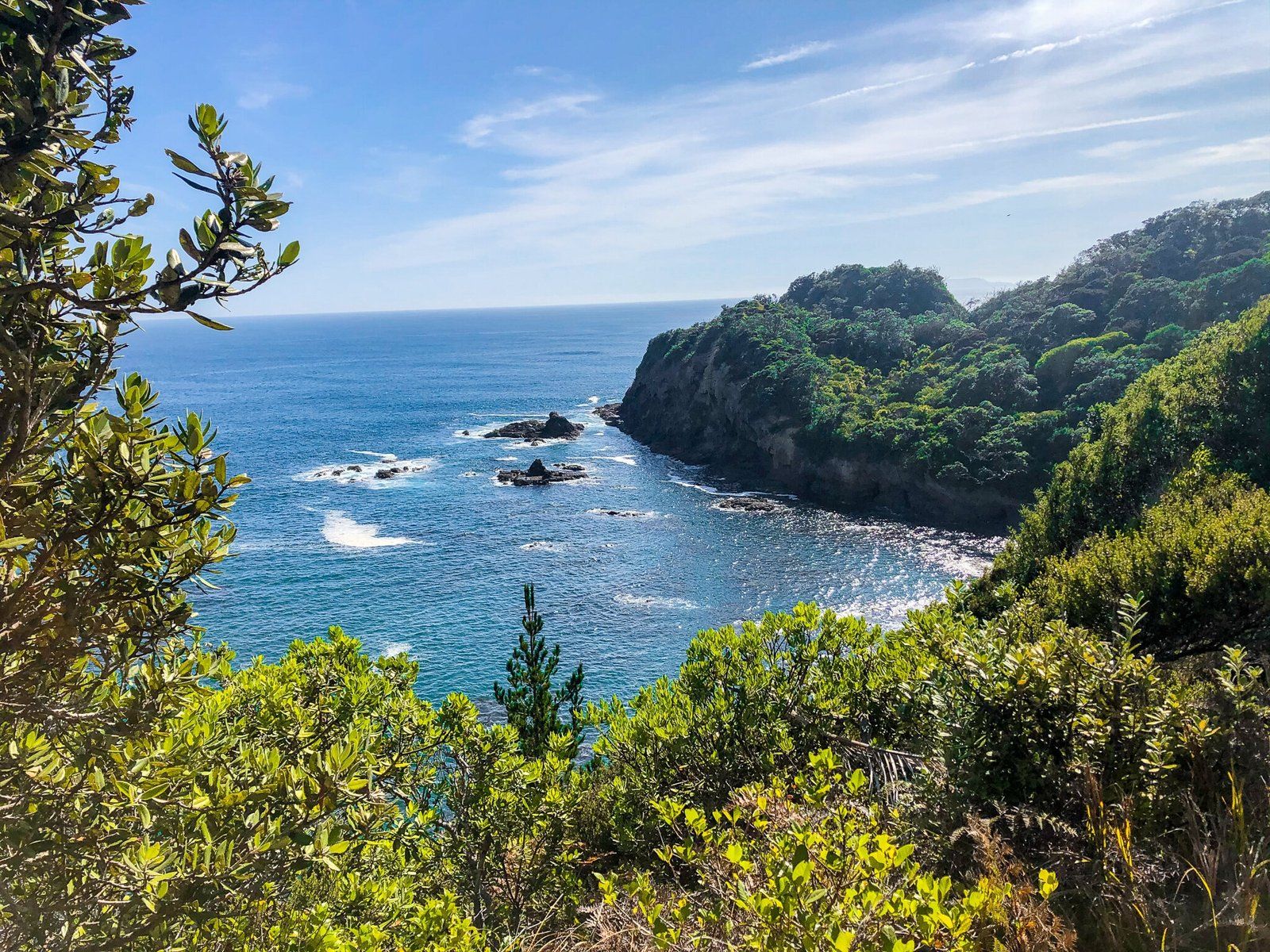
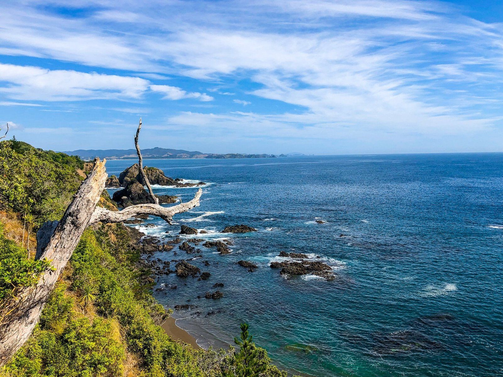
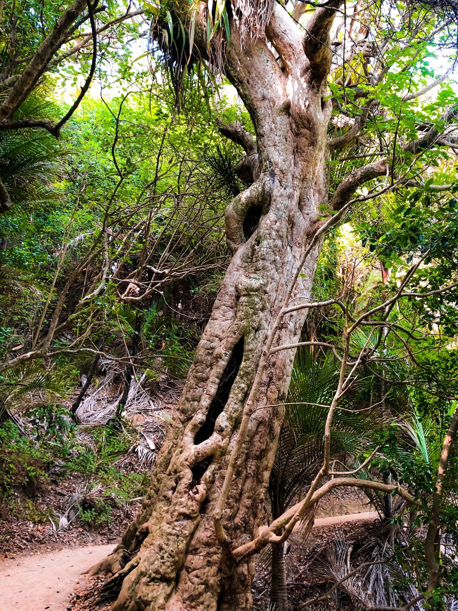
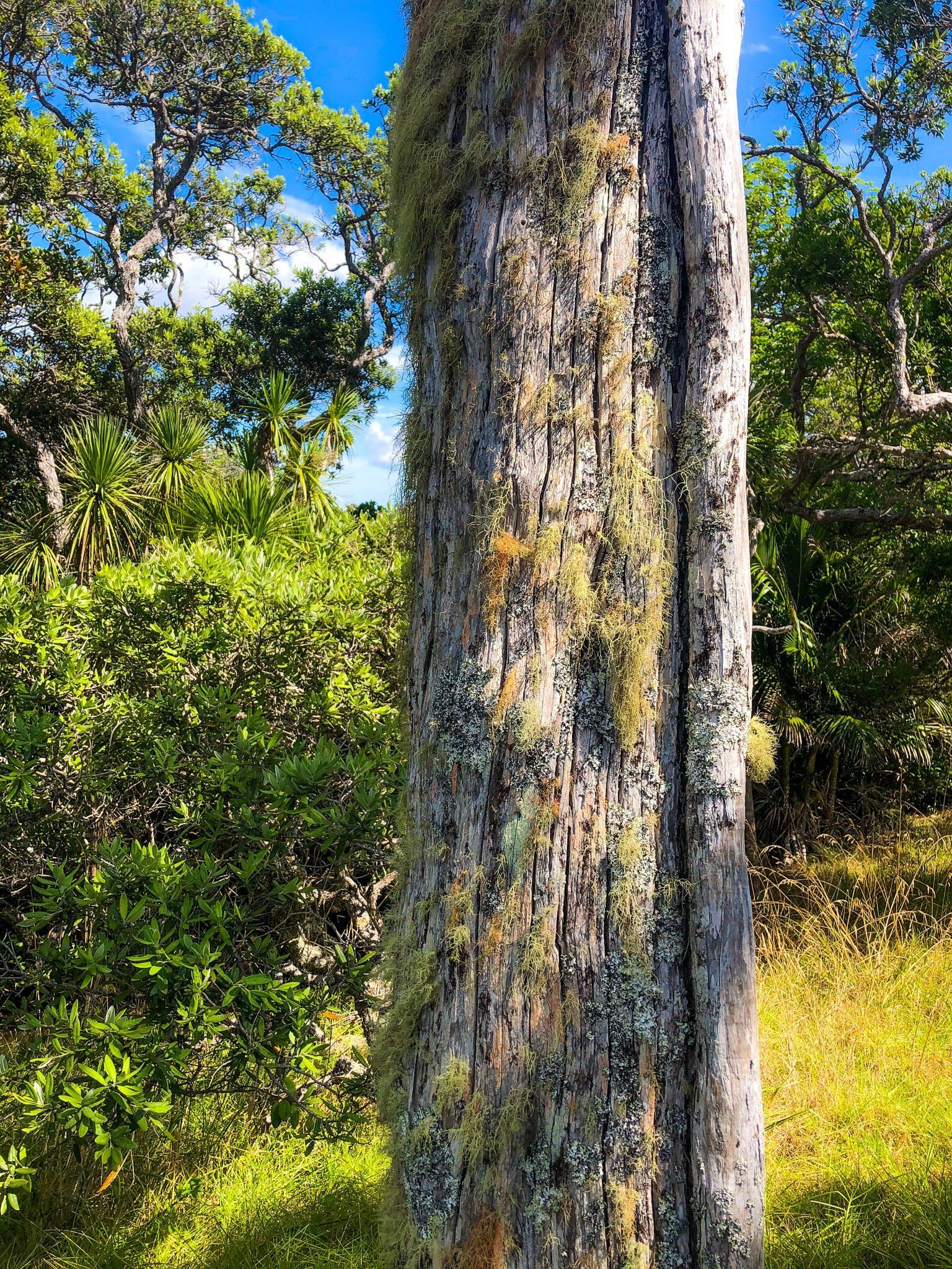
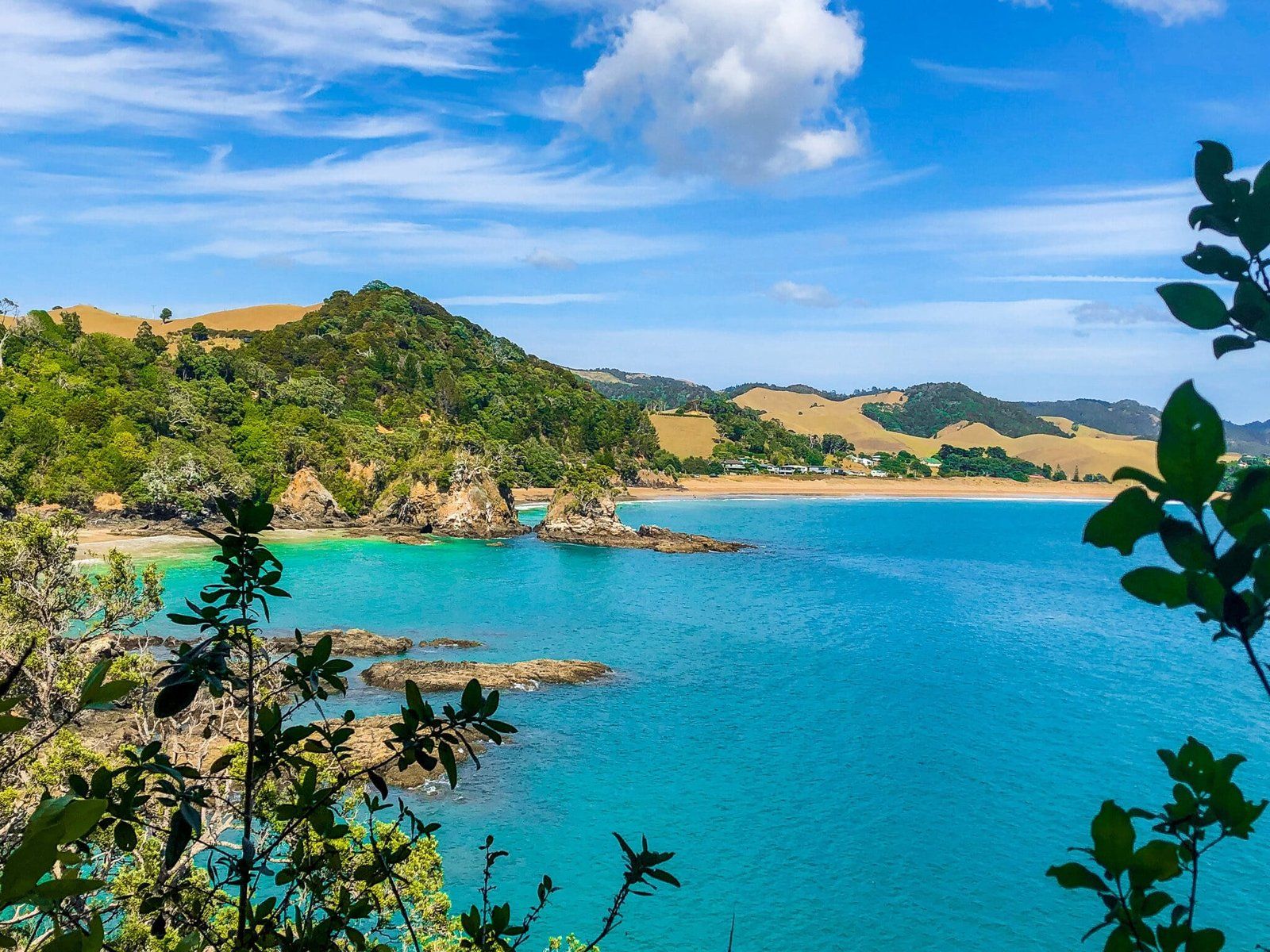
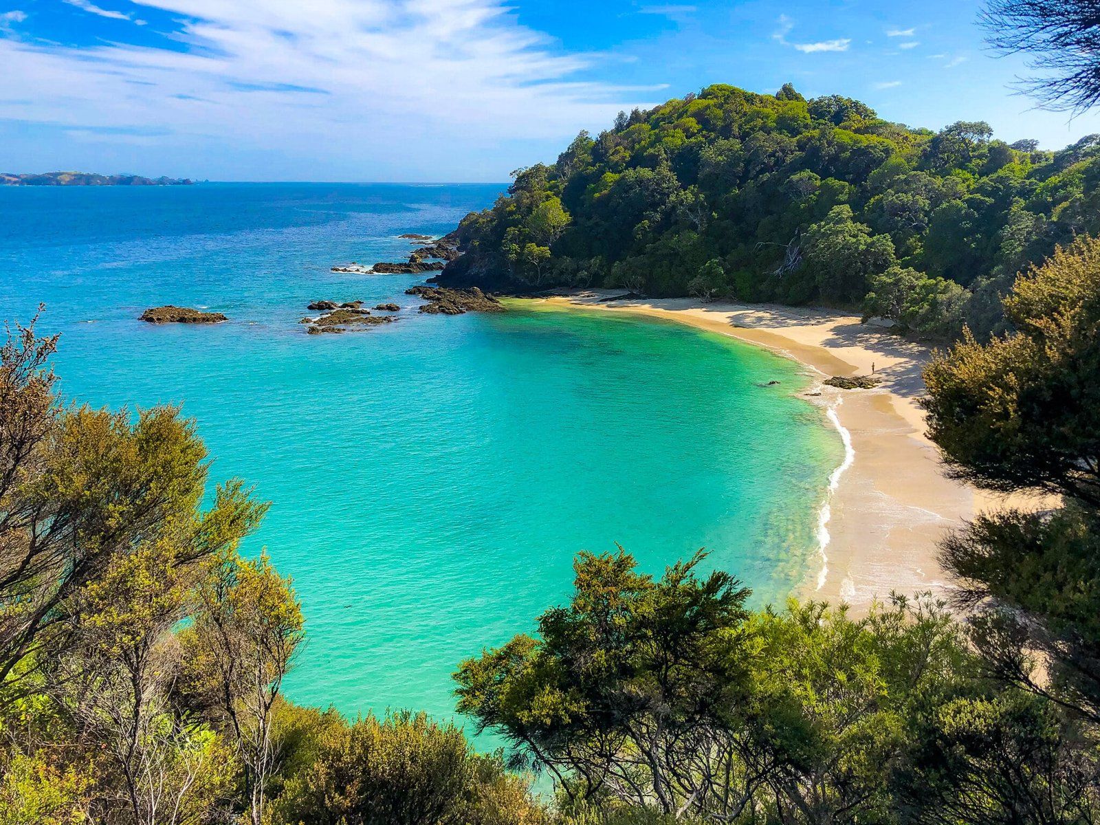
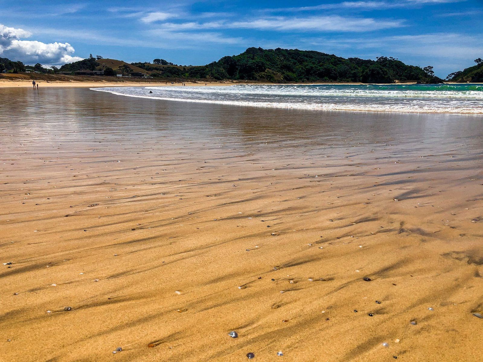
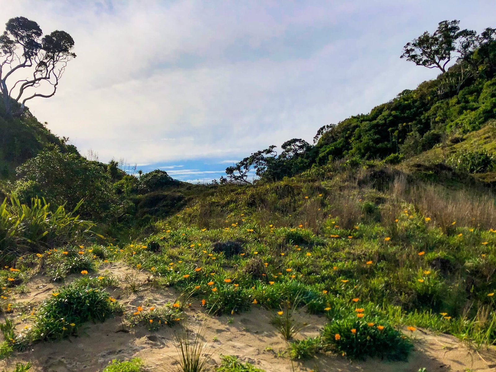
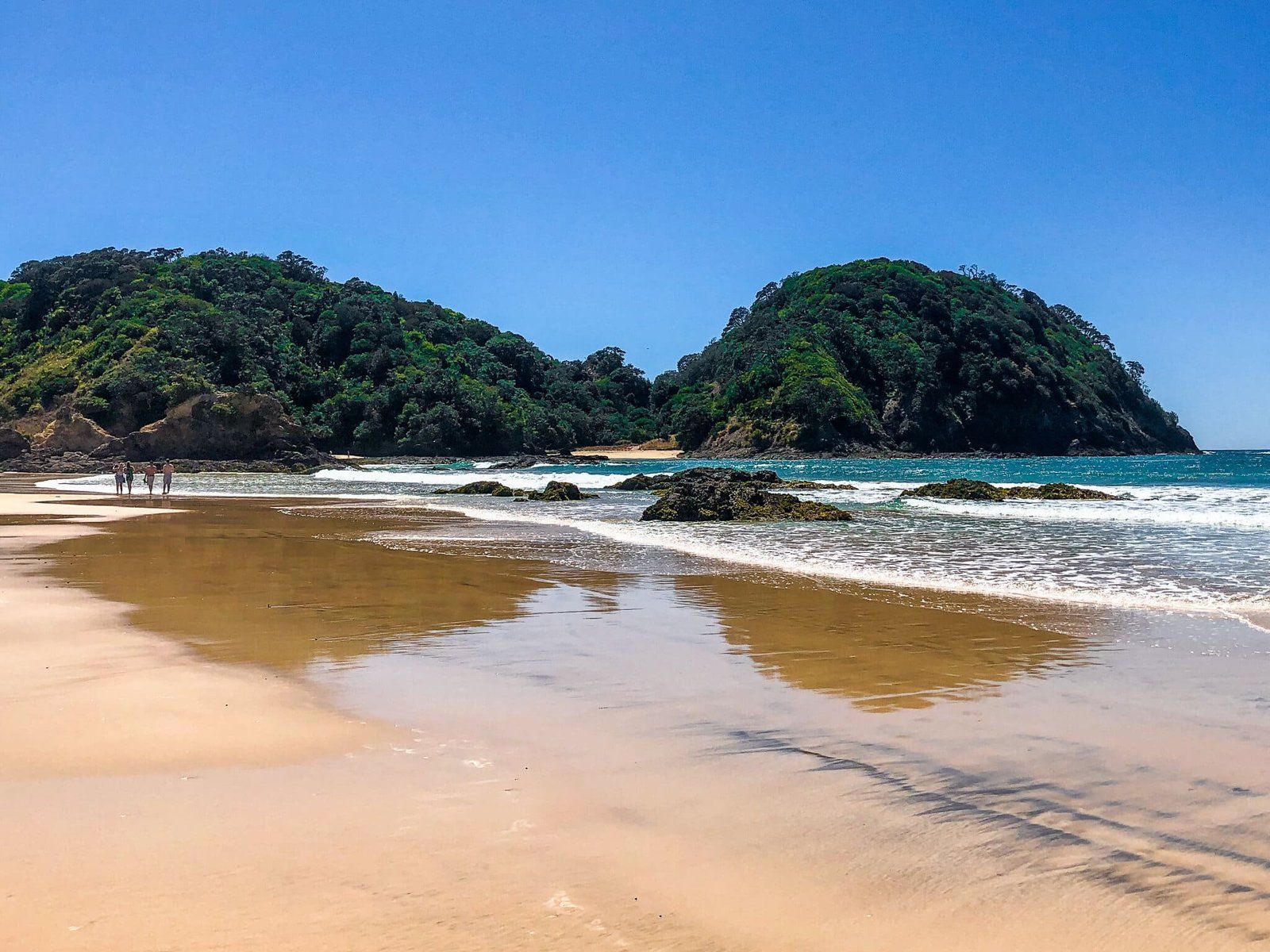
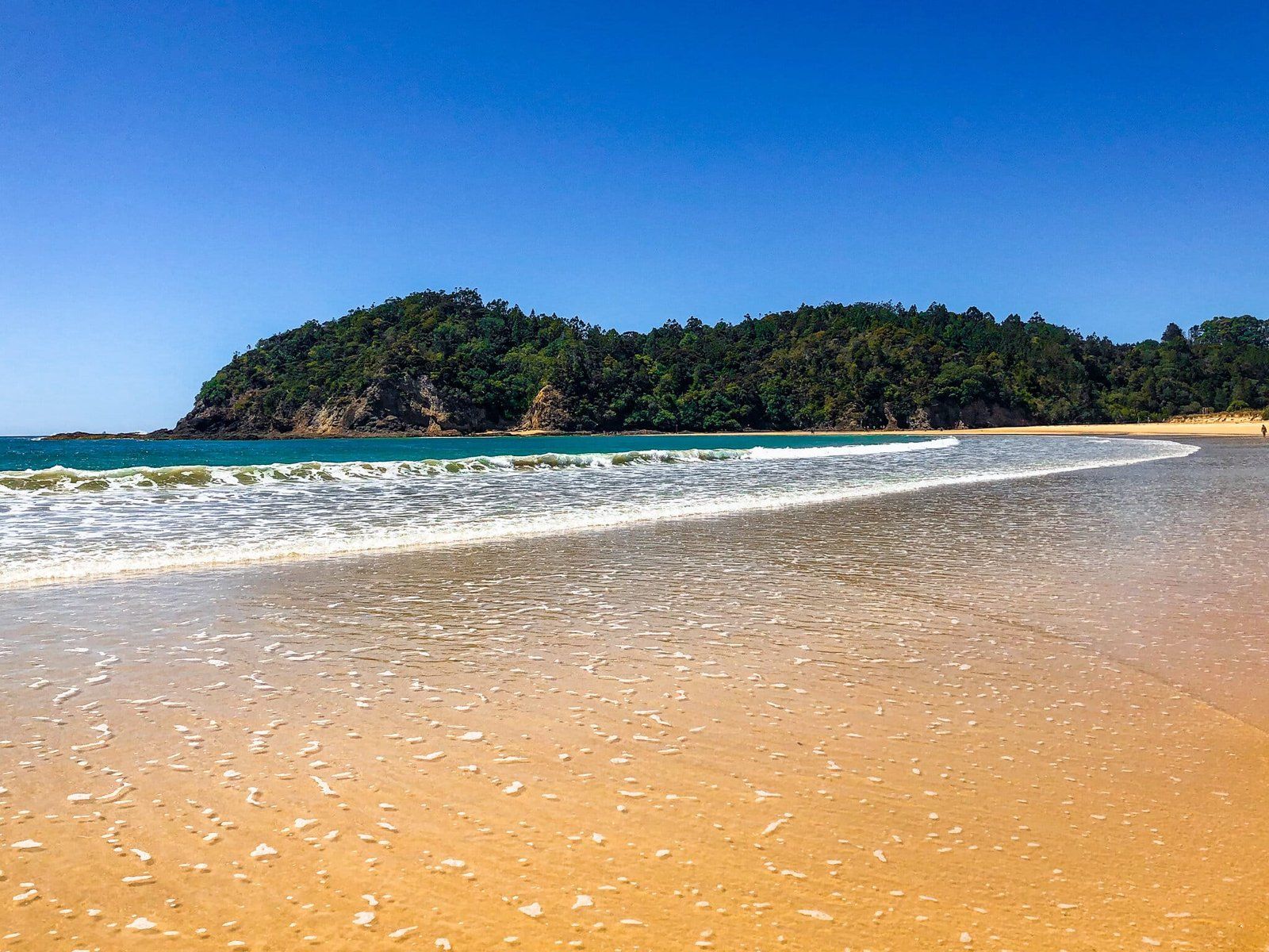
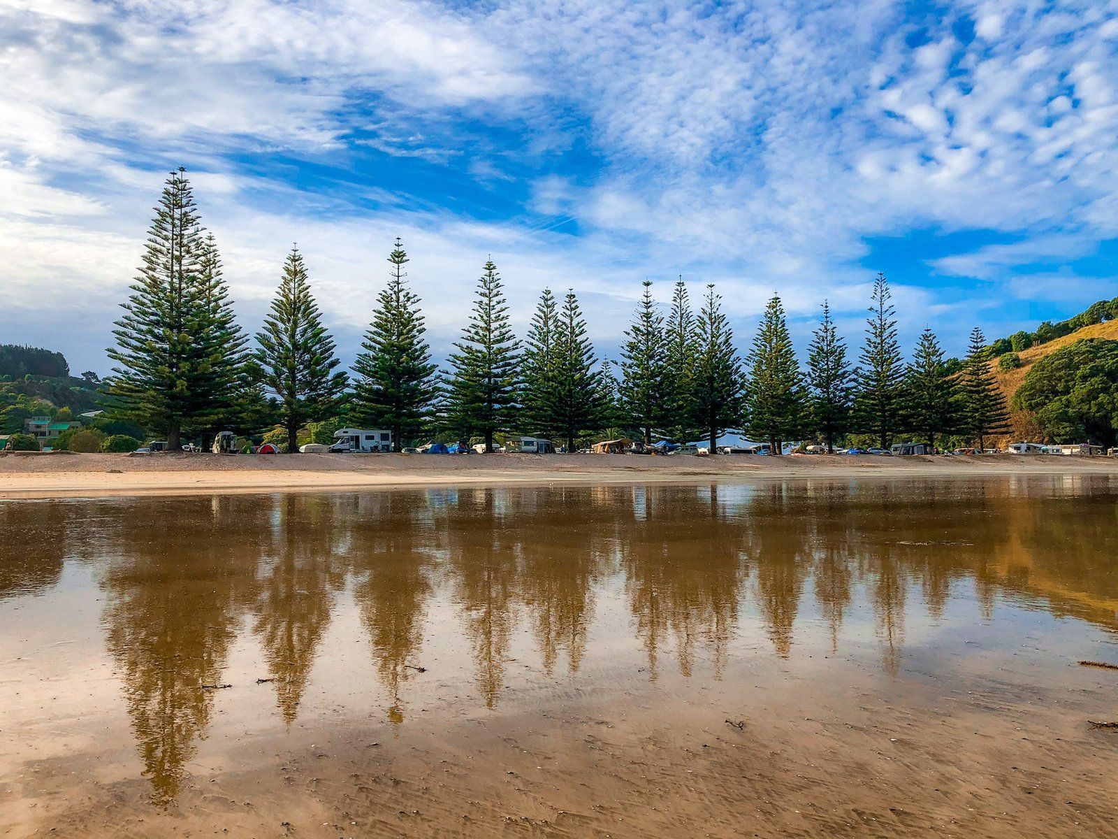
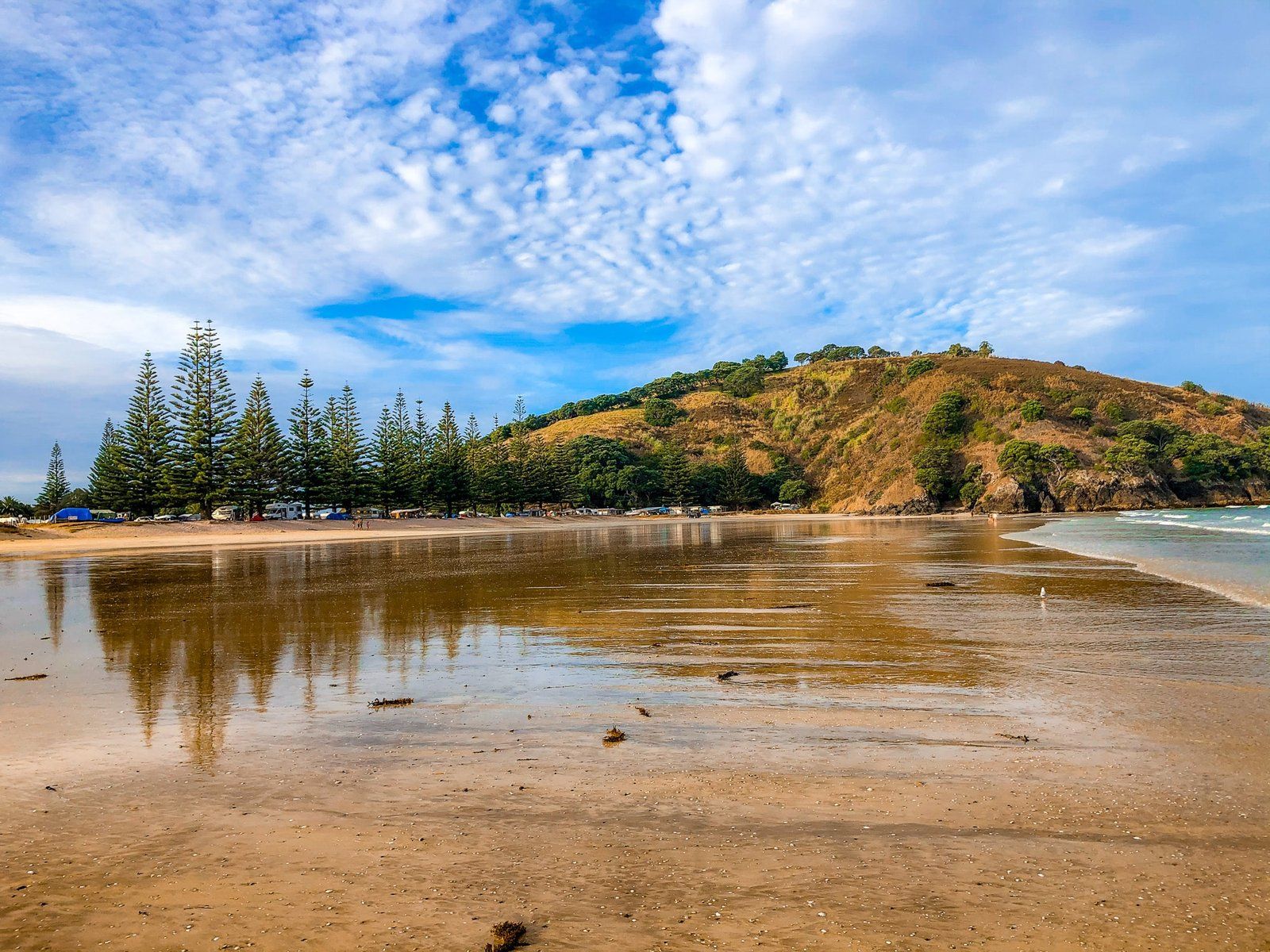
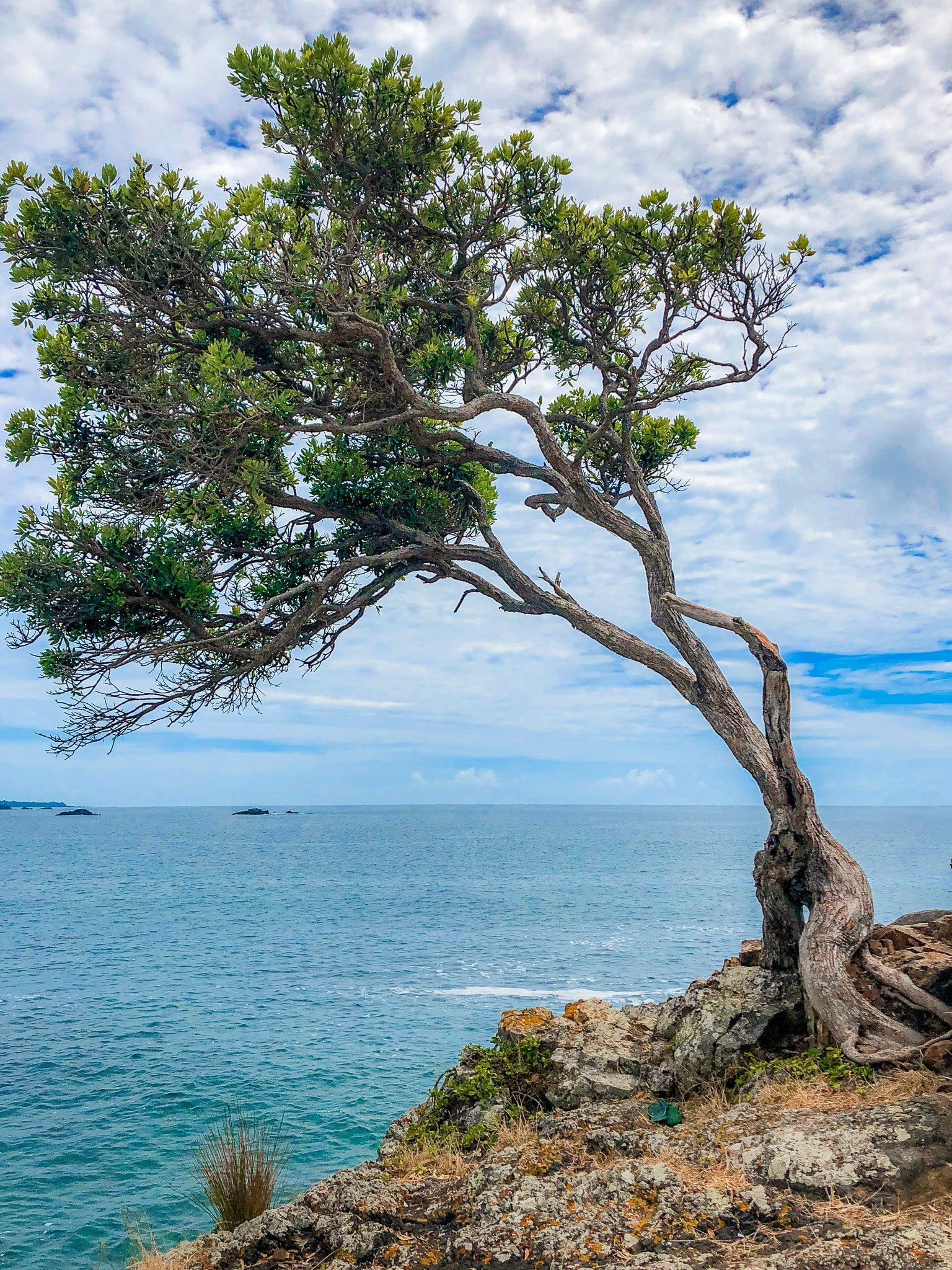
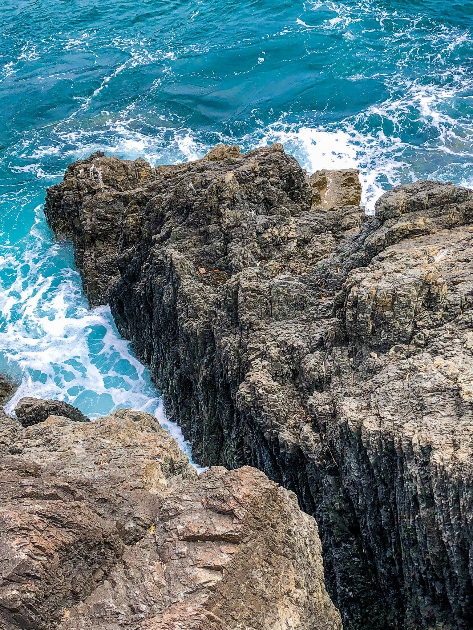
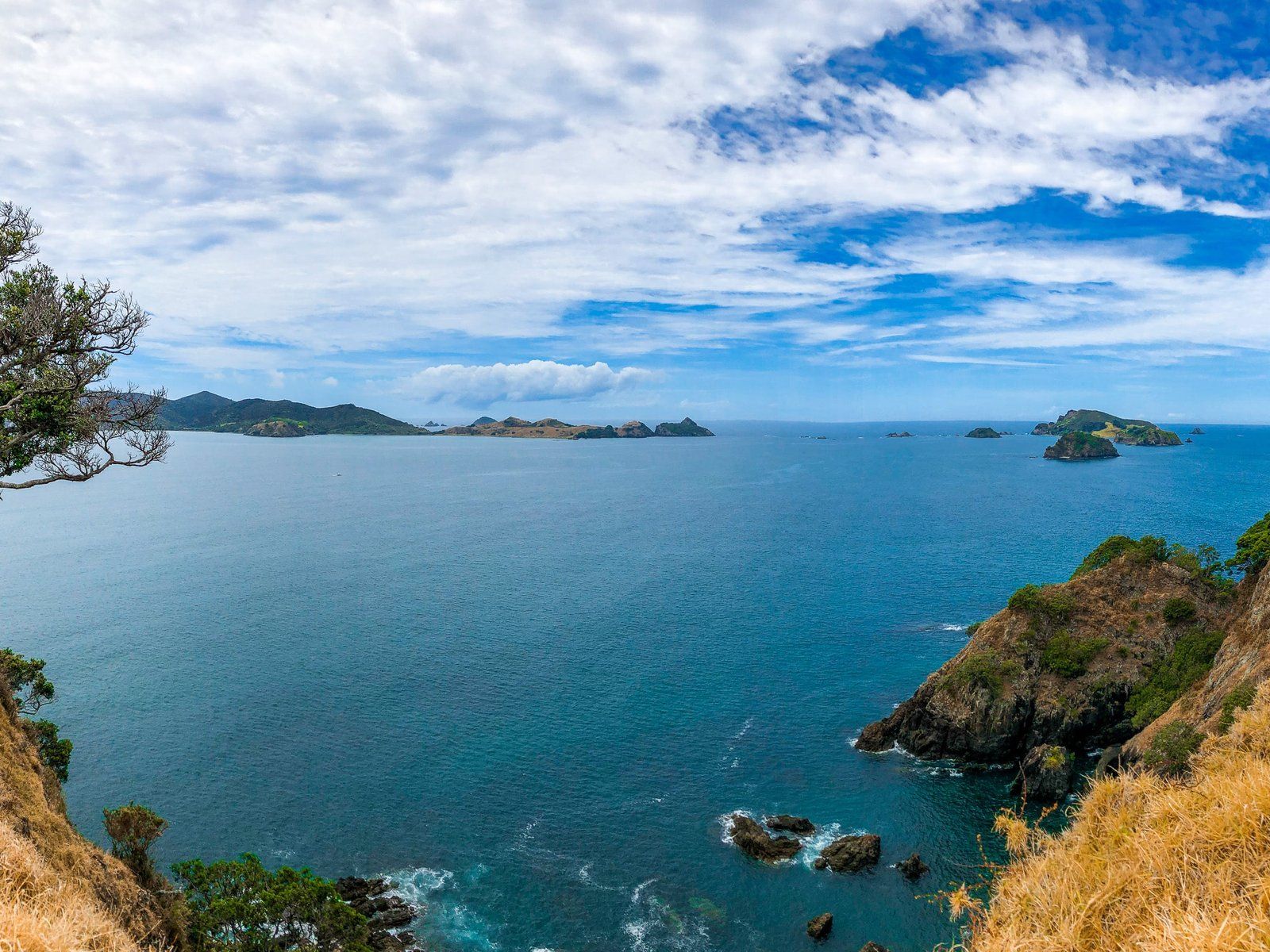
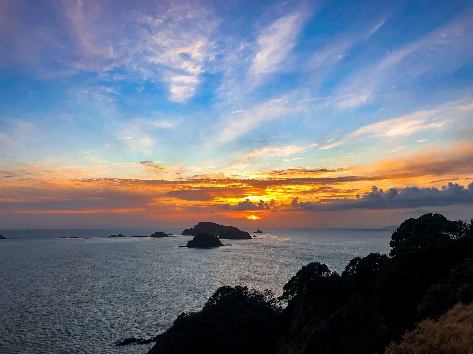
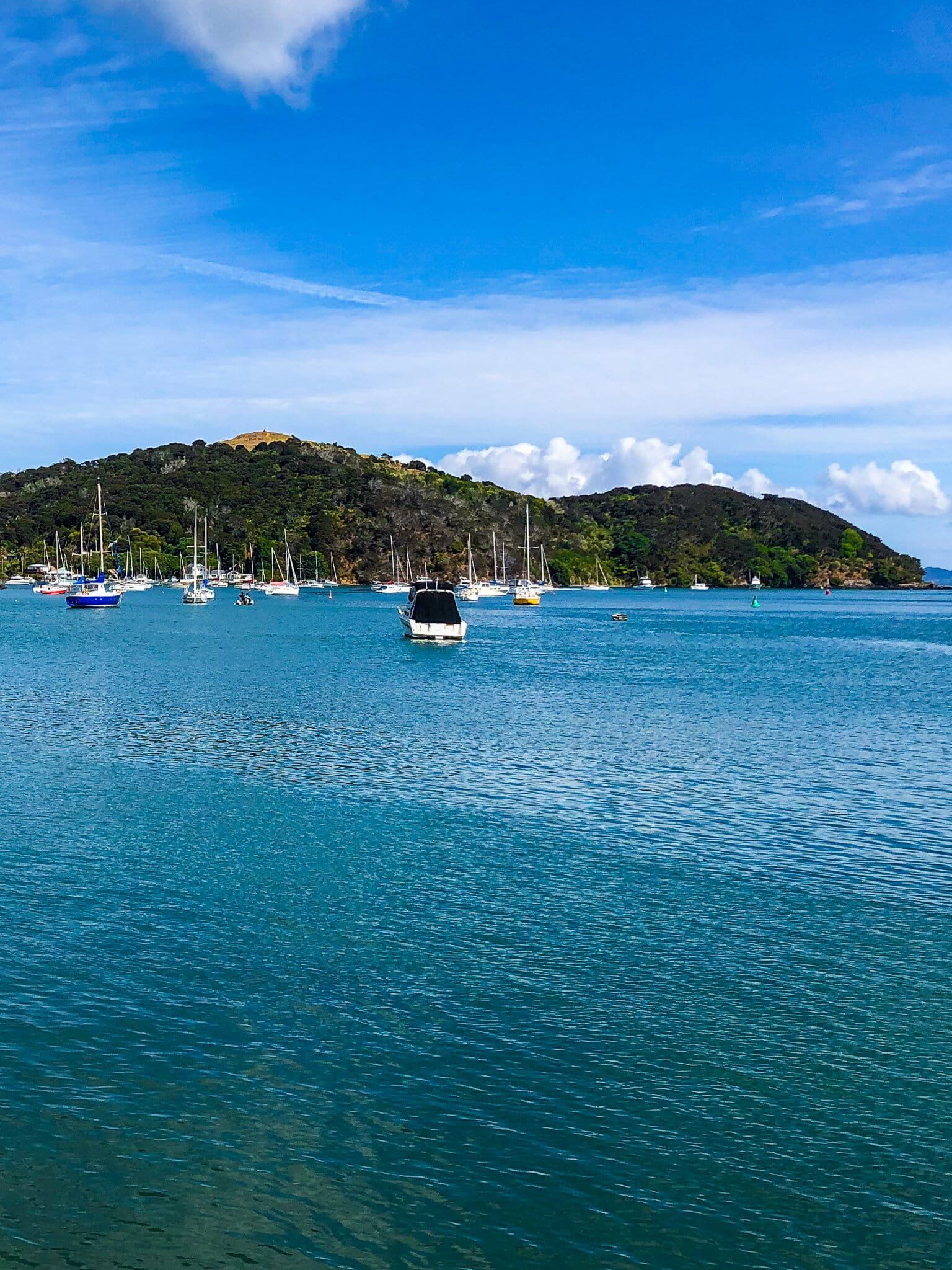
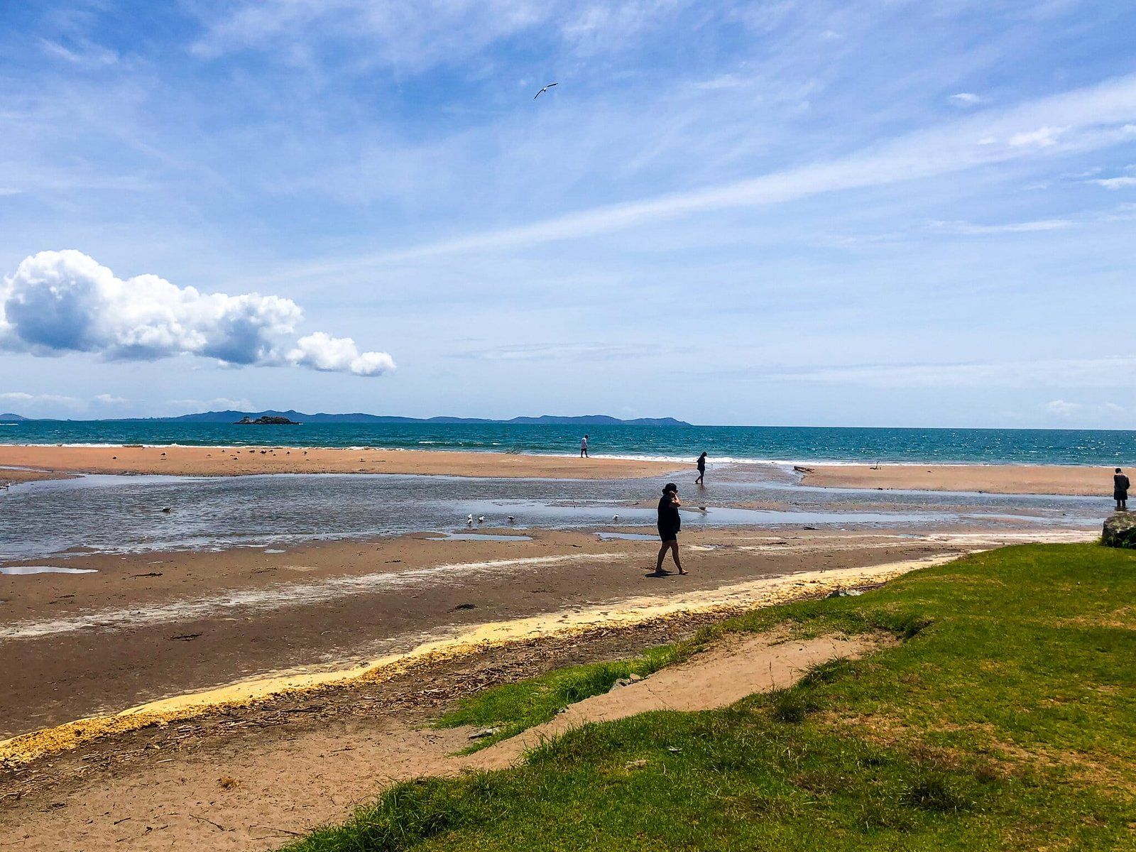
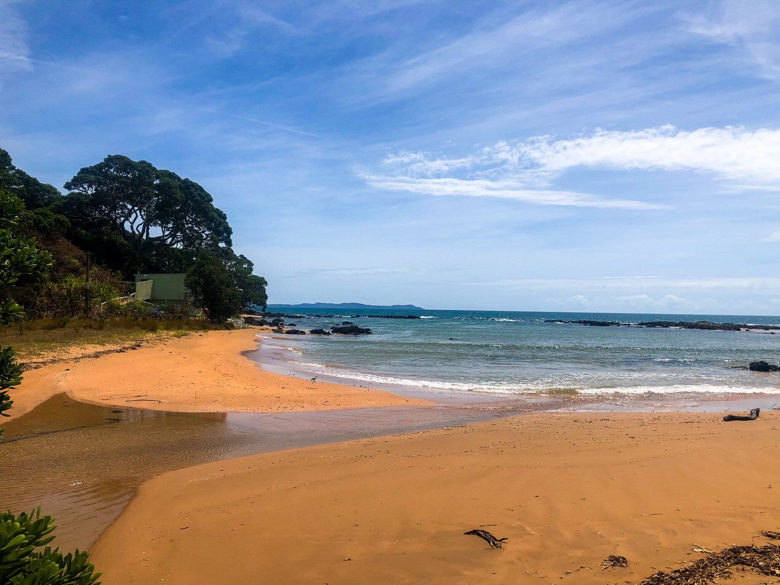
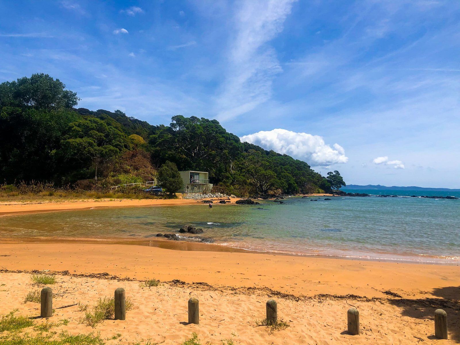
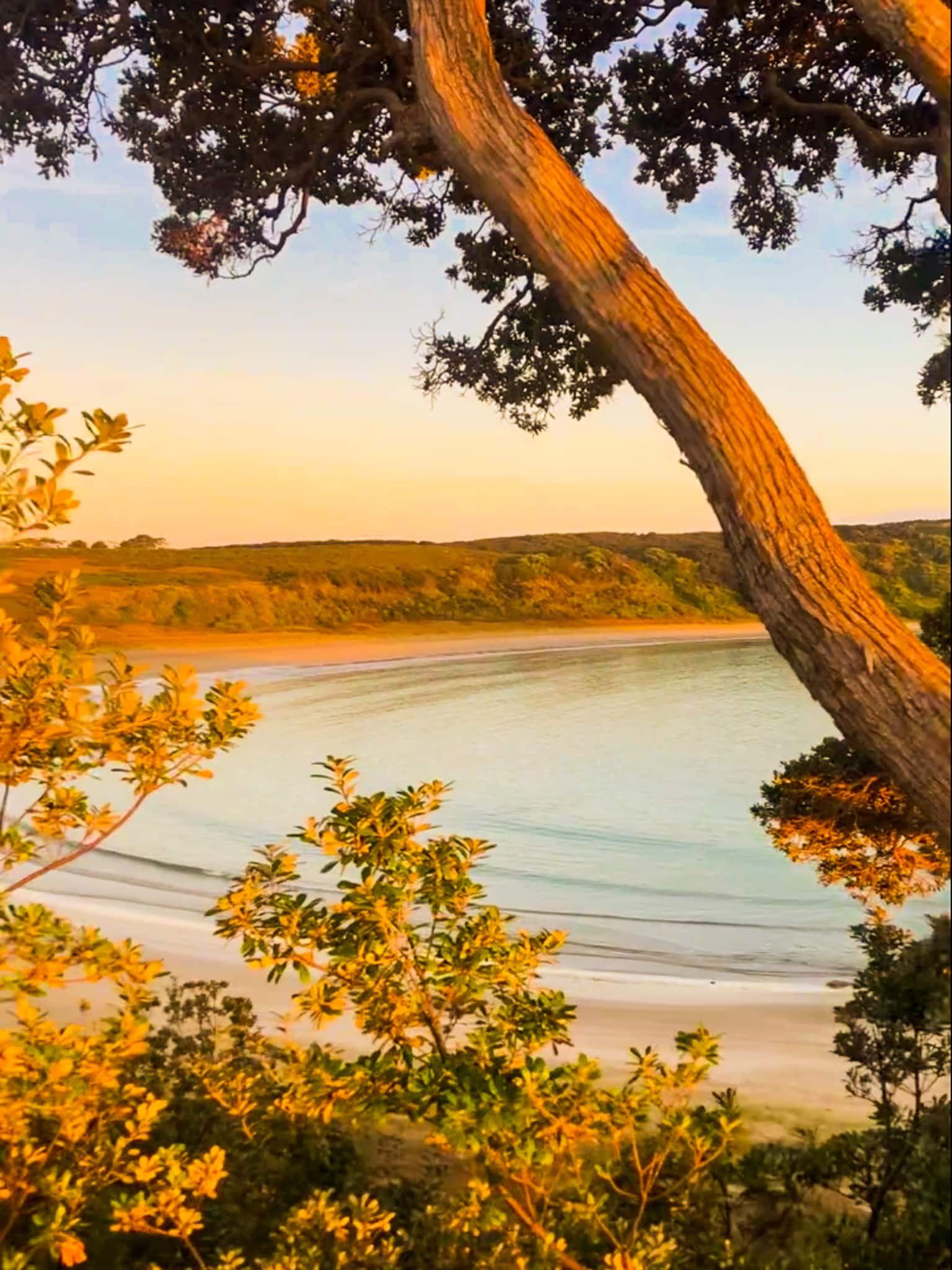
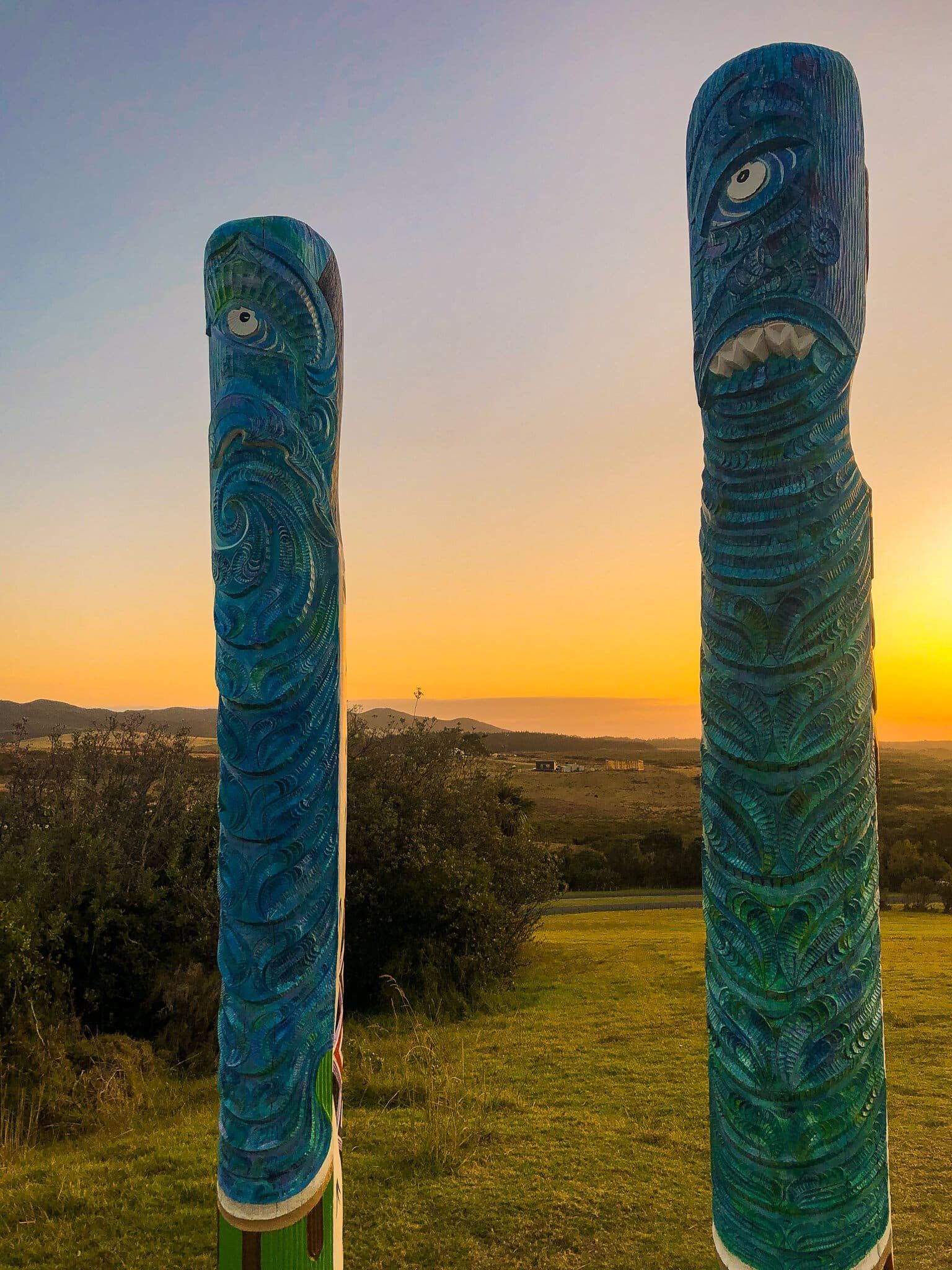
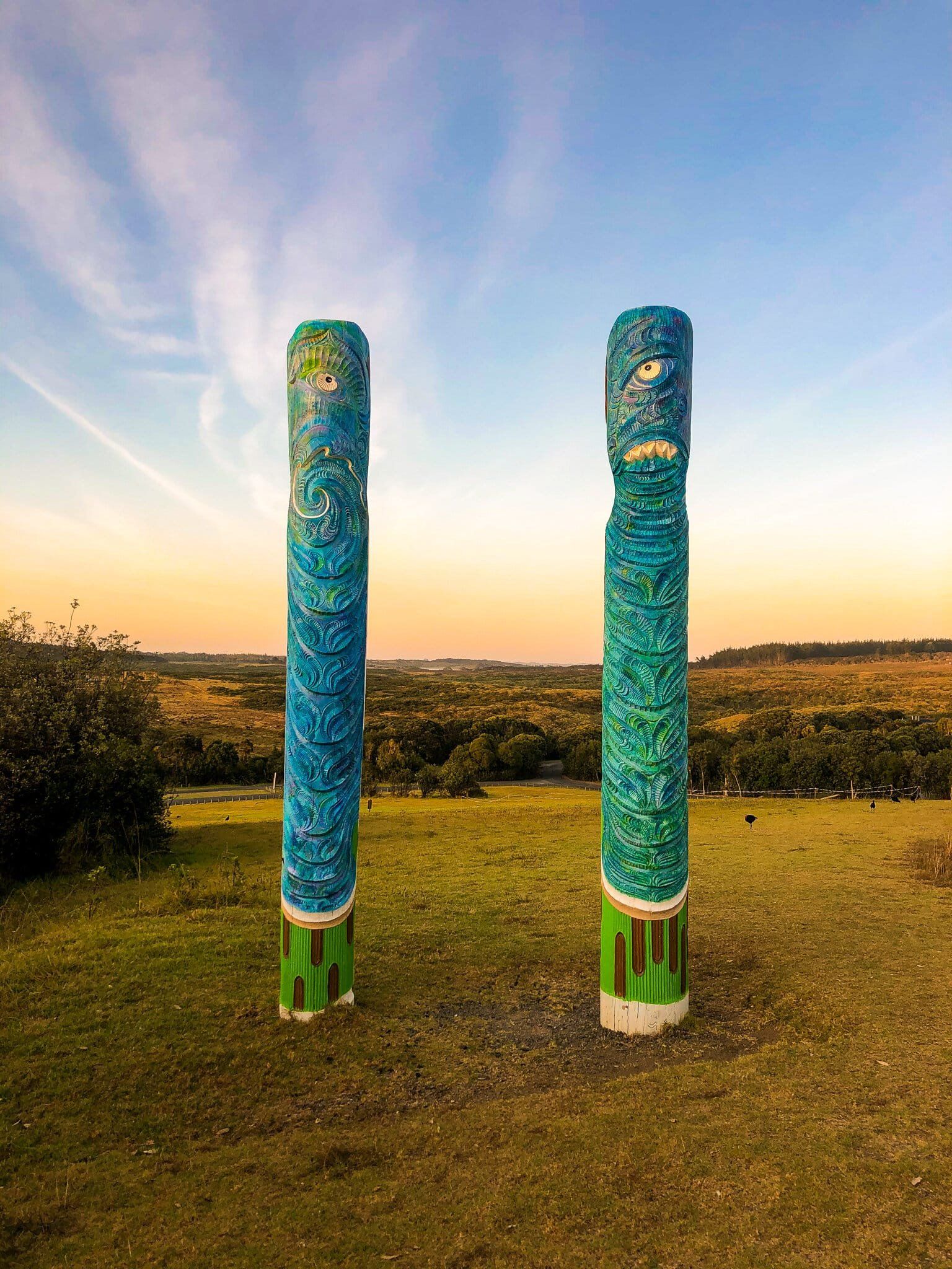
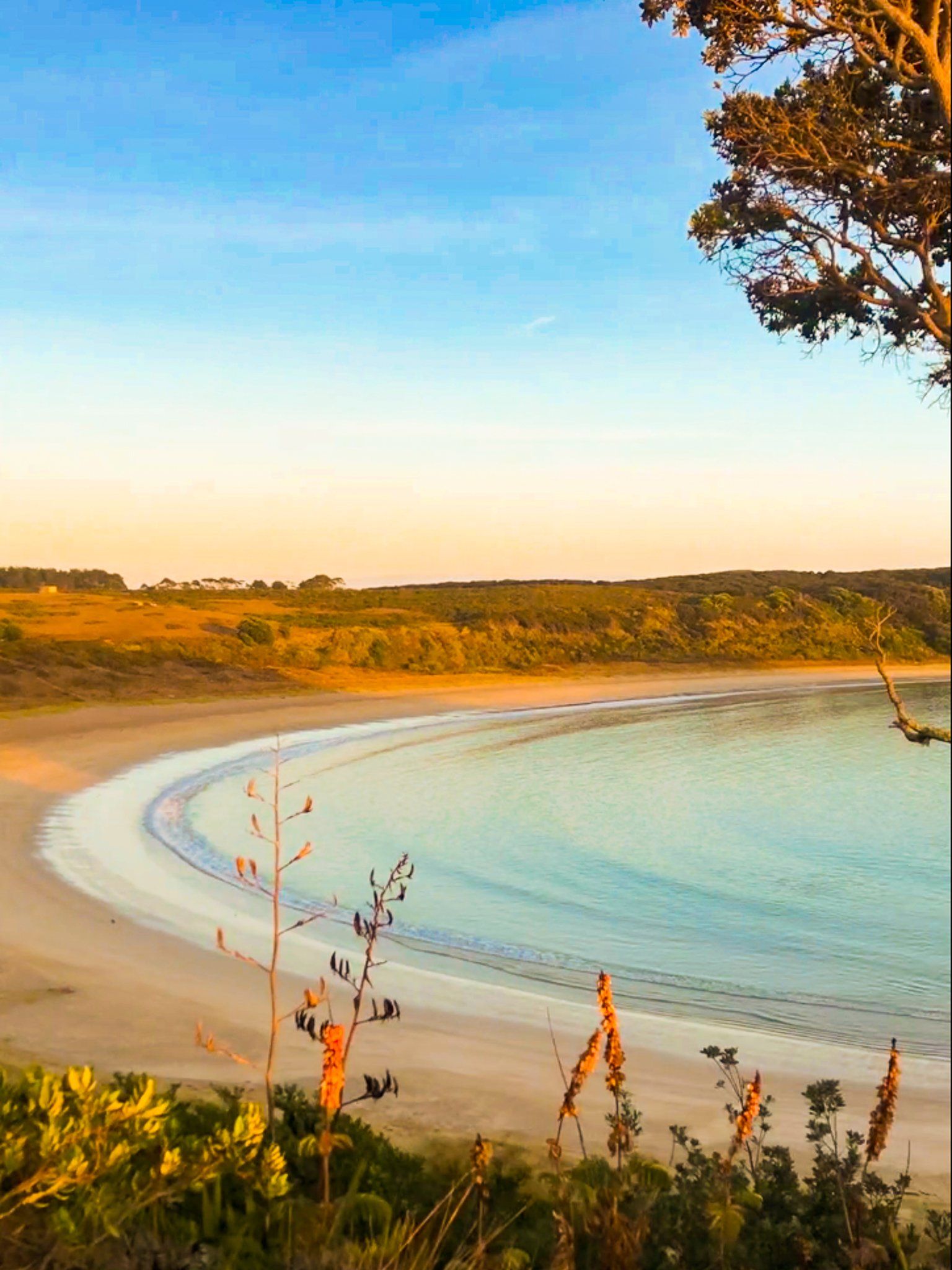
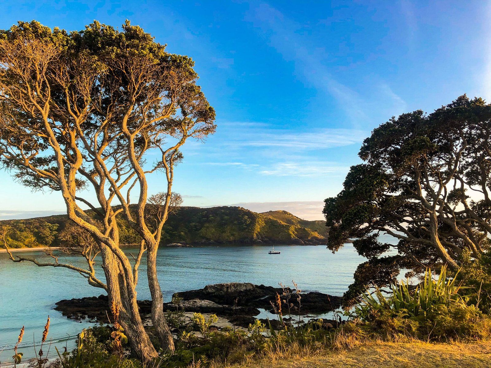
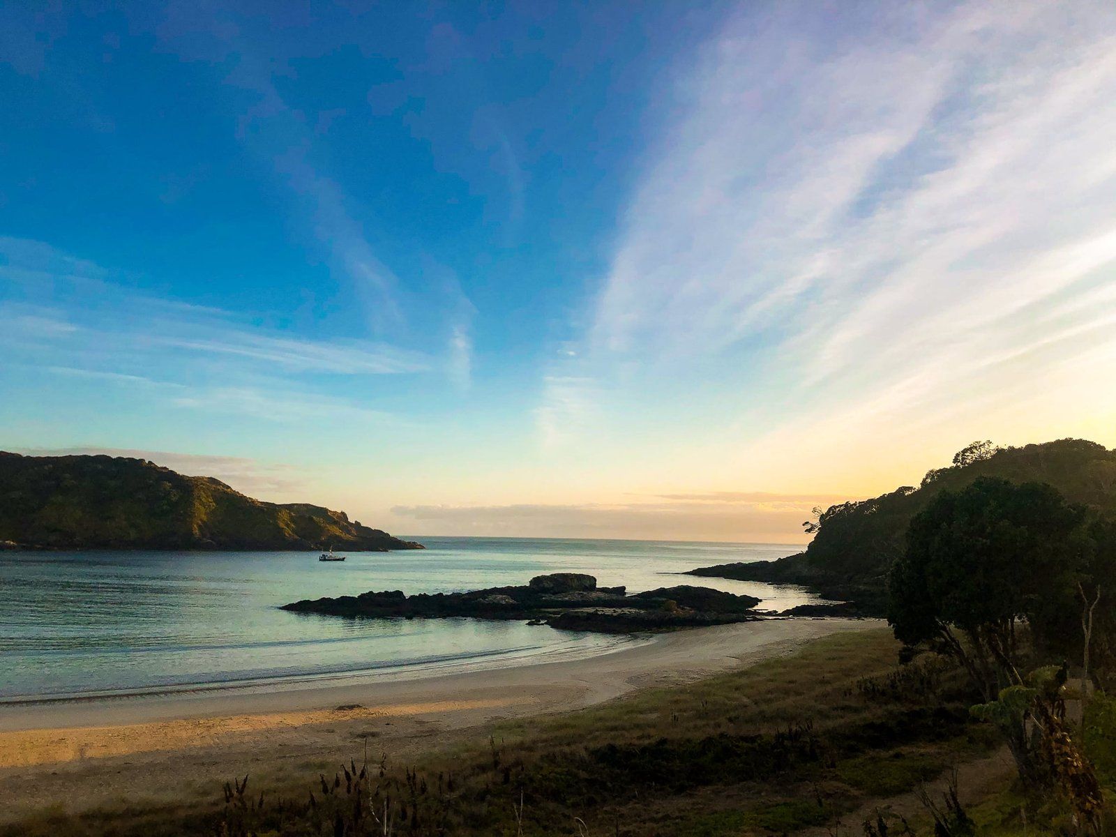
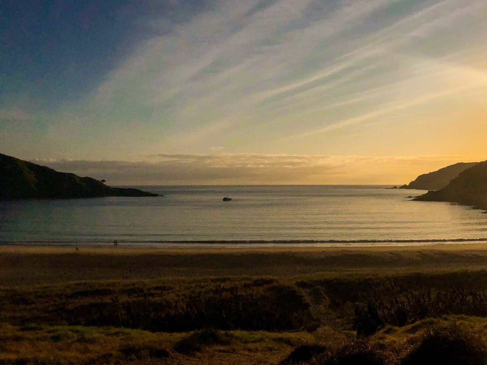
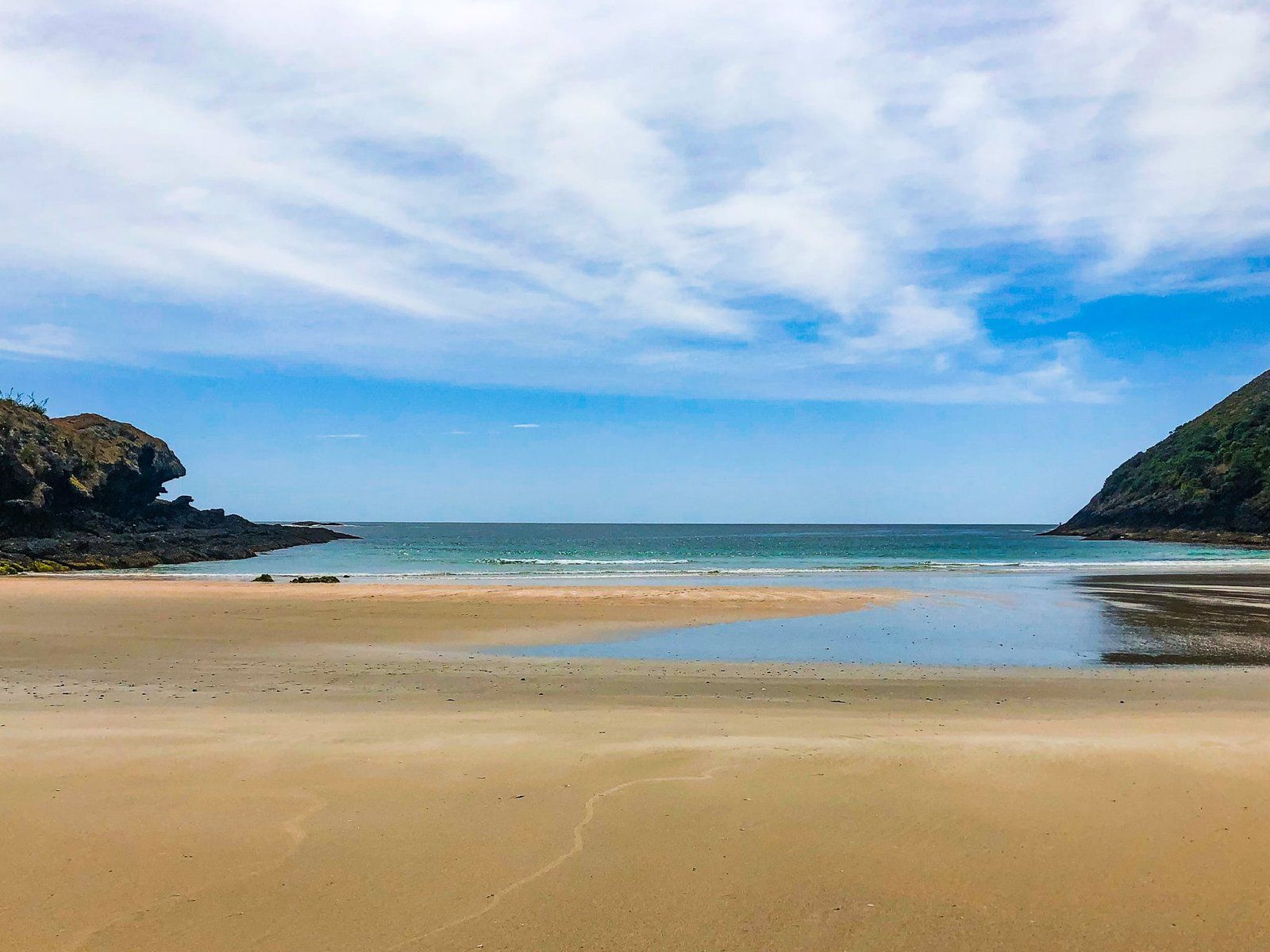
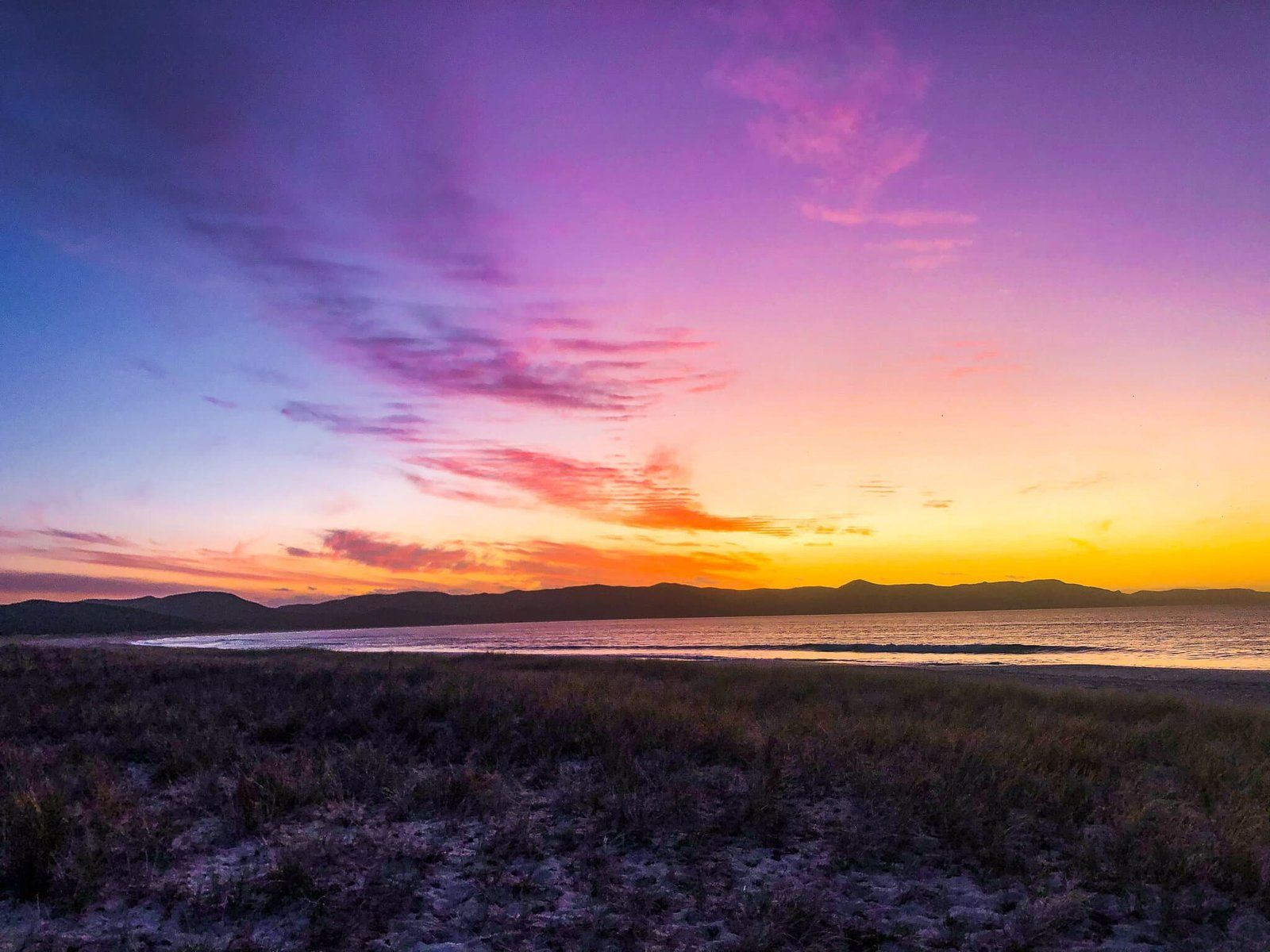
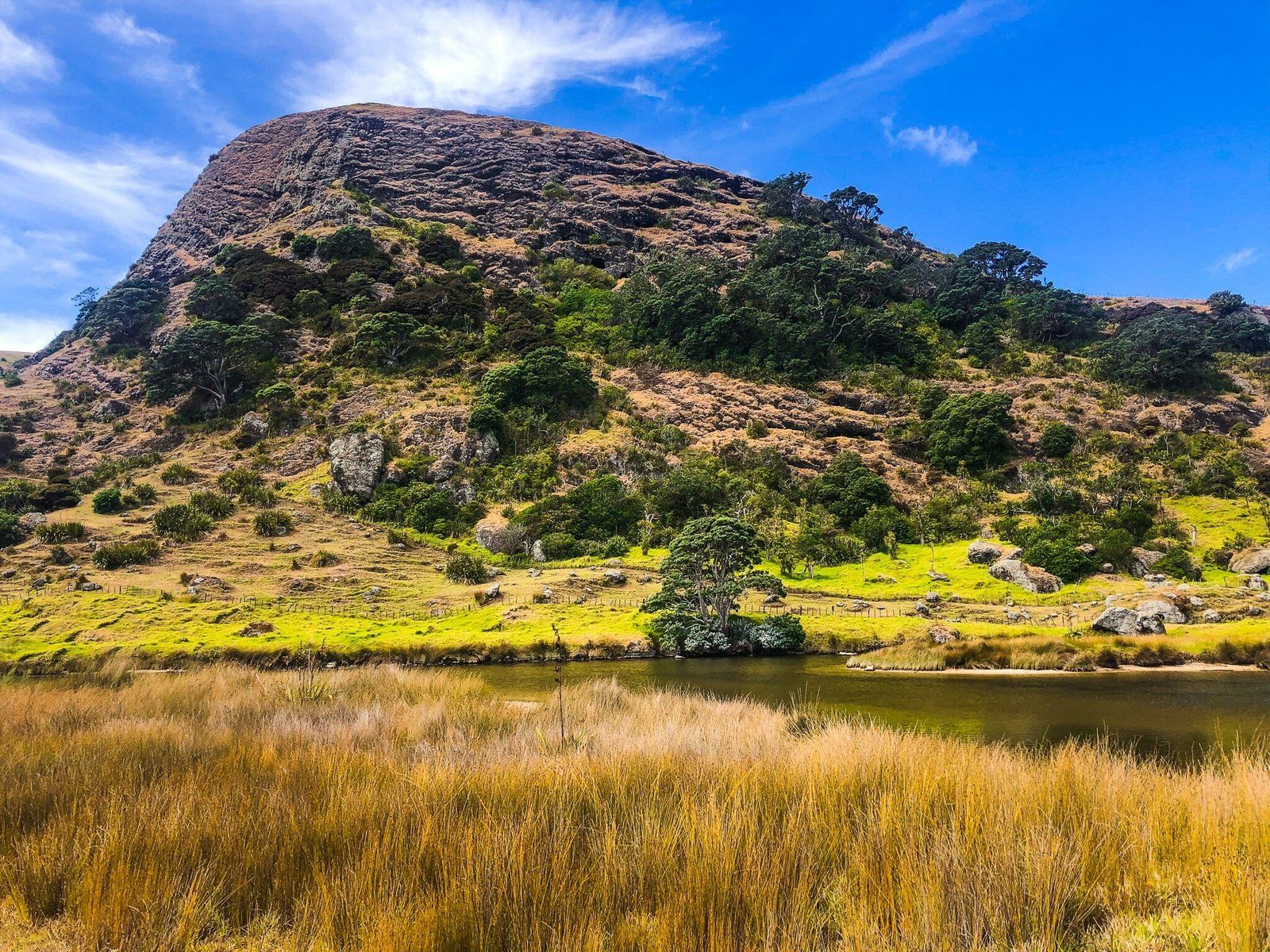
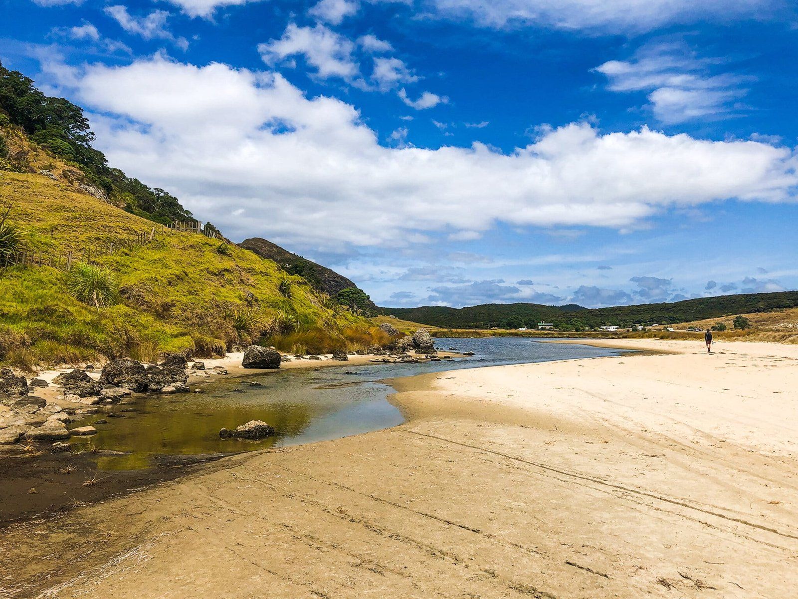
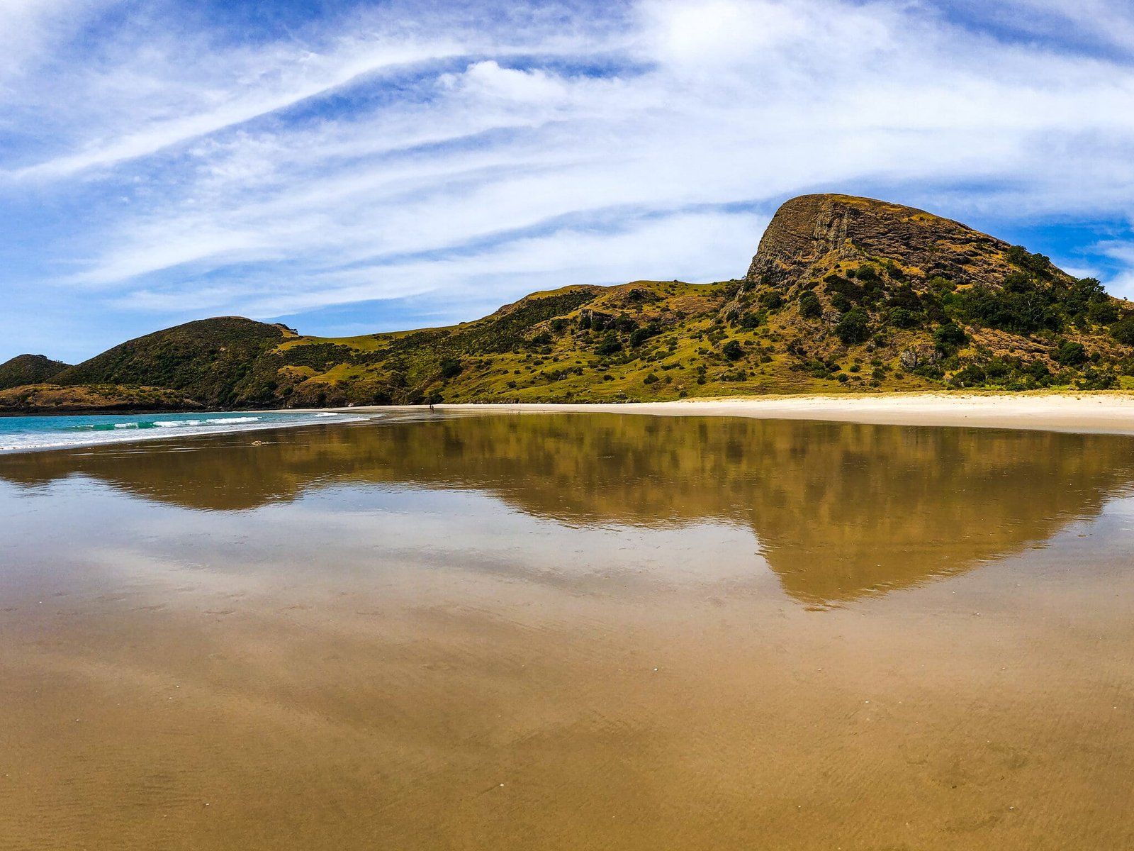
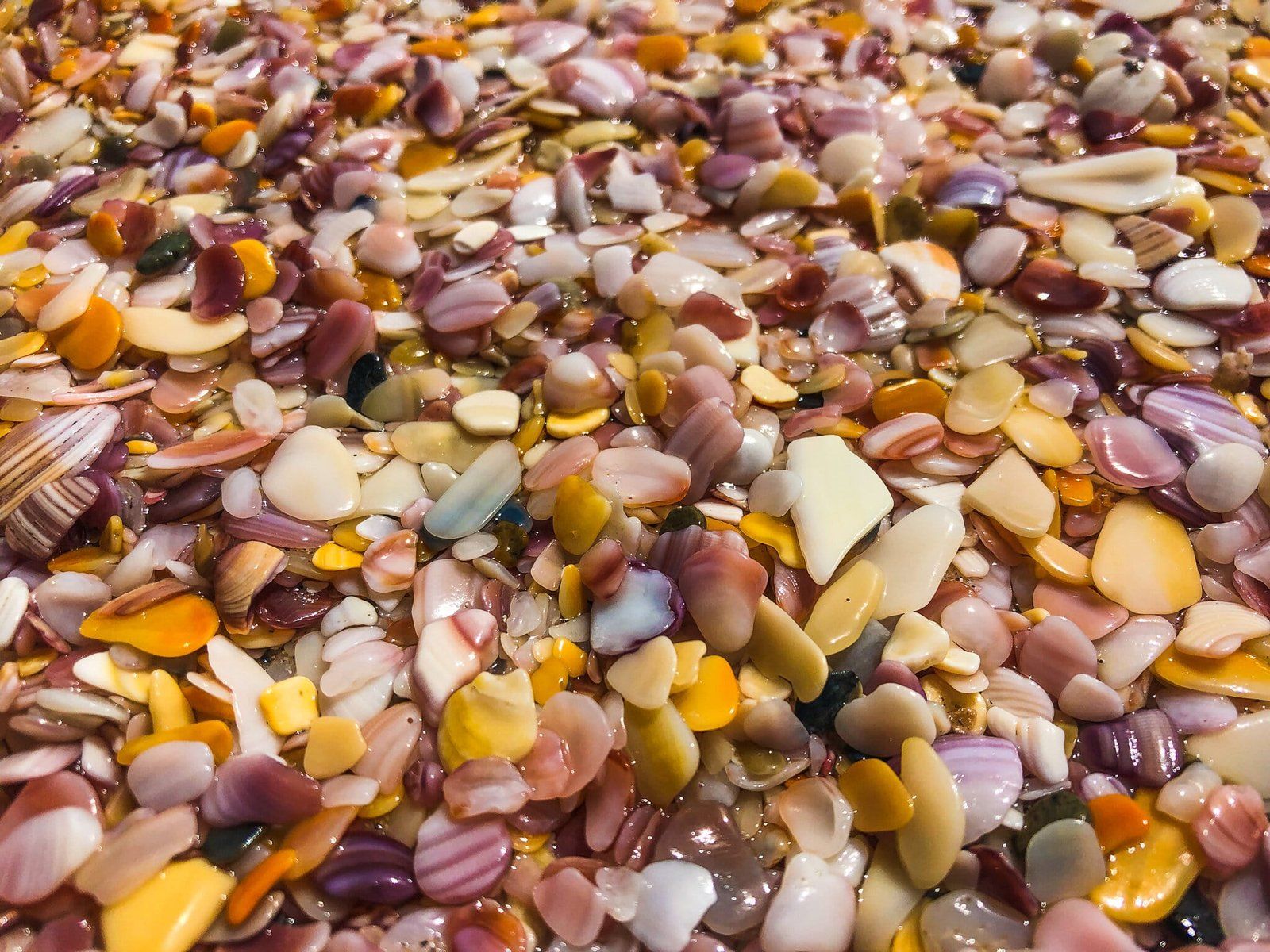
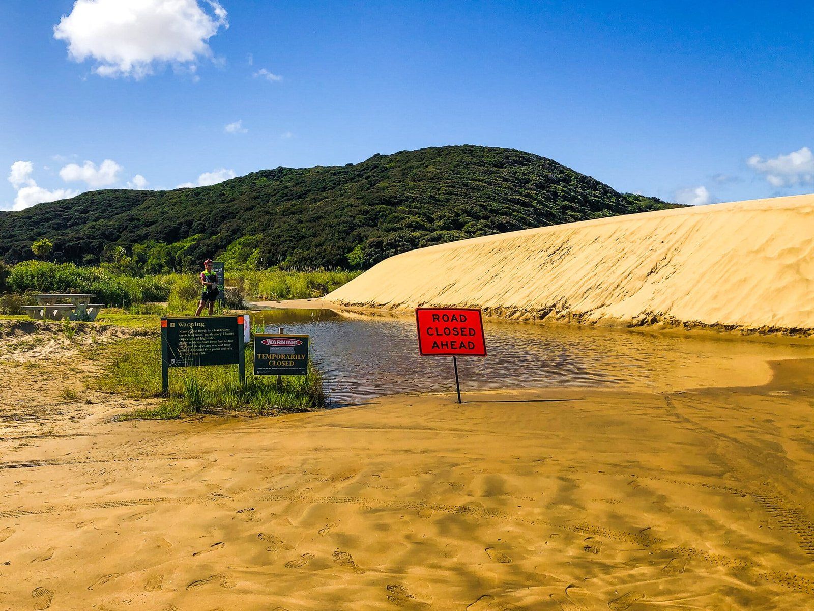
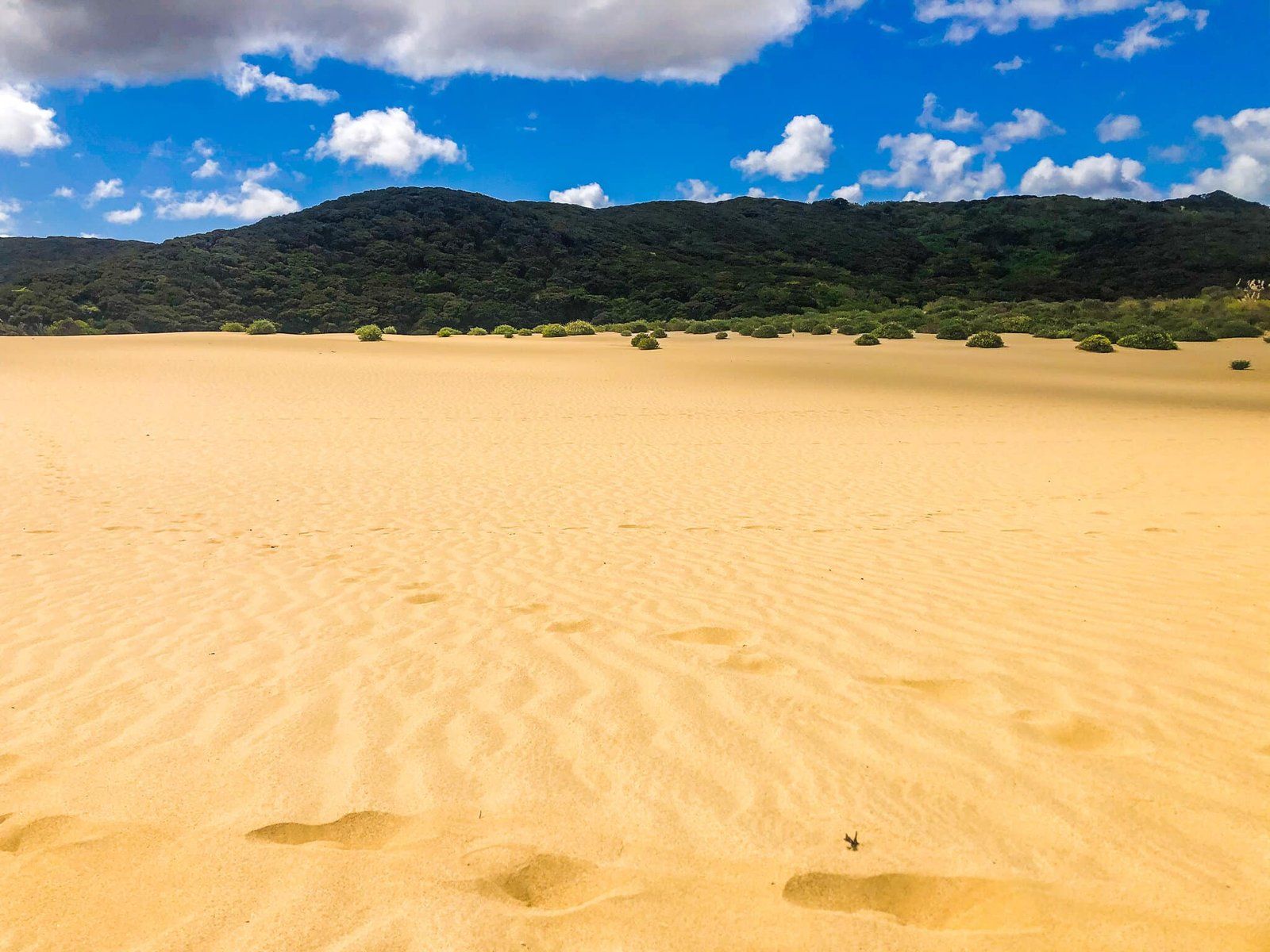
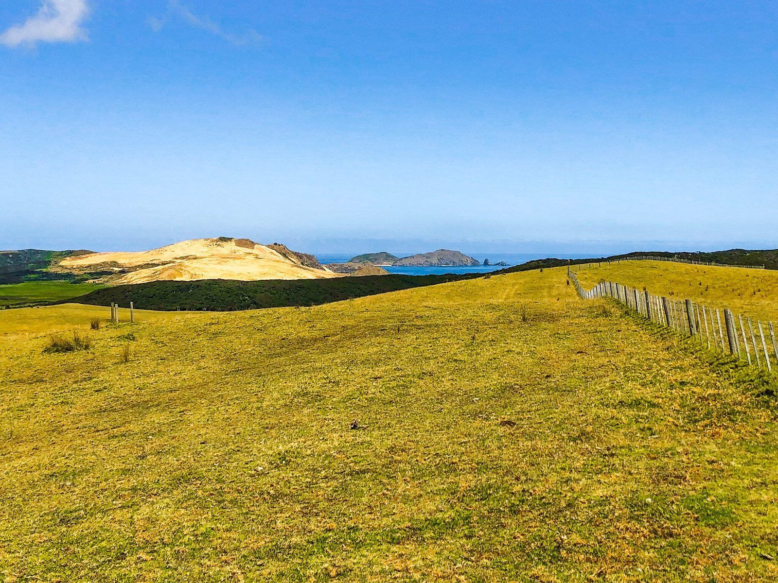
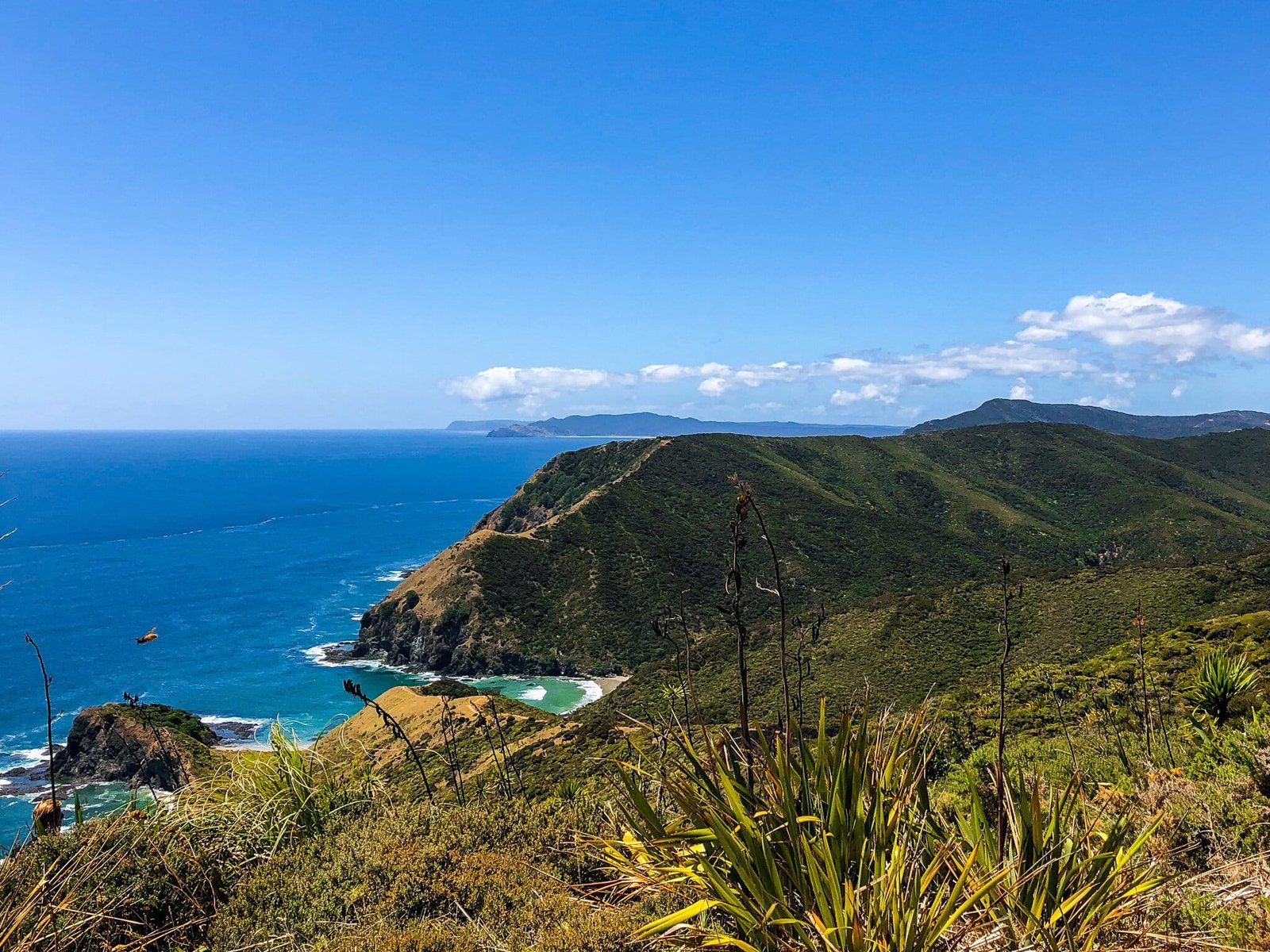
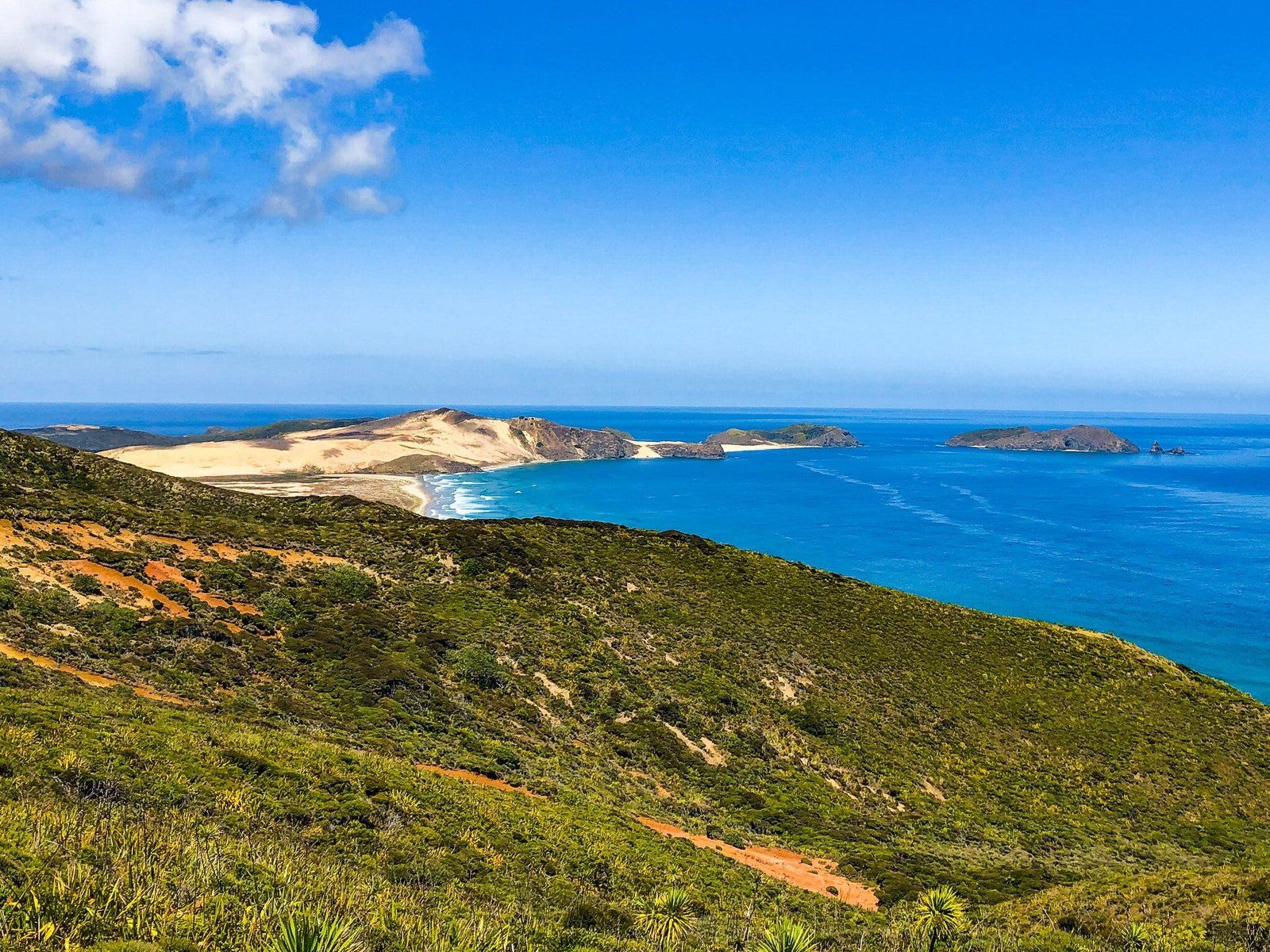
From a travel perspective, Northland is much larger than you might first expect. It is over 400 kms and takes 5.5 hours, often on a windy road, to drive from the southern boundary to Cape Reinga at the very top. Moreover, there are numerous distractions along the way with many beautiful beaches, kauri forests, historical sites which are important to both Māori and Europeans, and ancient eroded volcanic peaks. Often, the best places require an extra hour or two, sometimes on a dusty dead end metal road.
The normal way to drive through Northland is to head up State Highway 1 on the east side of Northland with selected deviations, and then come back down the west side from Kaitaia on back roads before joining State Highway 12 at Rawene on the Hokianga Harbour. This allows a visit to the best of the kauri forests between the Hokianga and Dargaville.
Our first Northland blog focuses on a trip up State Highway 1, with a deviation to the Tutukaka Coast. Then, just past Kawakawa, we turned off onto State Highway 10 which provides access to Matauri Bay, Doubtless Bay and the Karikari Peninsula. We rejoined SH1 to the north of Kaikohe and continued on to Cape Reinga, with shorter deviations to Te Paki sand dunes and Piwhane Spirits Bay.
Thanks to Jan Rozek for providing the photos.
Otito Track
There are several beautiful beaches on the Tutukaka Coast, east of Whangarei. It is also the gateway to the marine reserve around the Poor Knights Islands.
We chose to visit Whale and Matapouri Bays via the Otito Track, a loop that we started and ended at the Whale Bay car park on Matapouri Road.
The loop takes in fantastic views, side walks to Whale Bay, and a viewpoint, with strips of mature native forest as well as regrowth. Allow about 90 minutes to complete the loop, excluding beach stops, swims and picnics.
Starting at the carpark, head towards Whale Bay. After 300 metres, head down to the beach or take the headland track to the right. It follows the ridge and fence line to a viewpoint at the top of the cliff above Pebbly Beach. Continue on the cliff track till it drops down to Pebbly Beach, then cut through to Otito Reserve and Matapouri Beach. The Hole in the Rock for access towards Rangitapu Point is to the left and Matapouri village to the right.
A circular walk can be completed back through the village to the car park via Morrison Rd and Ringer Ave.
Whale Bay
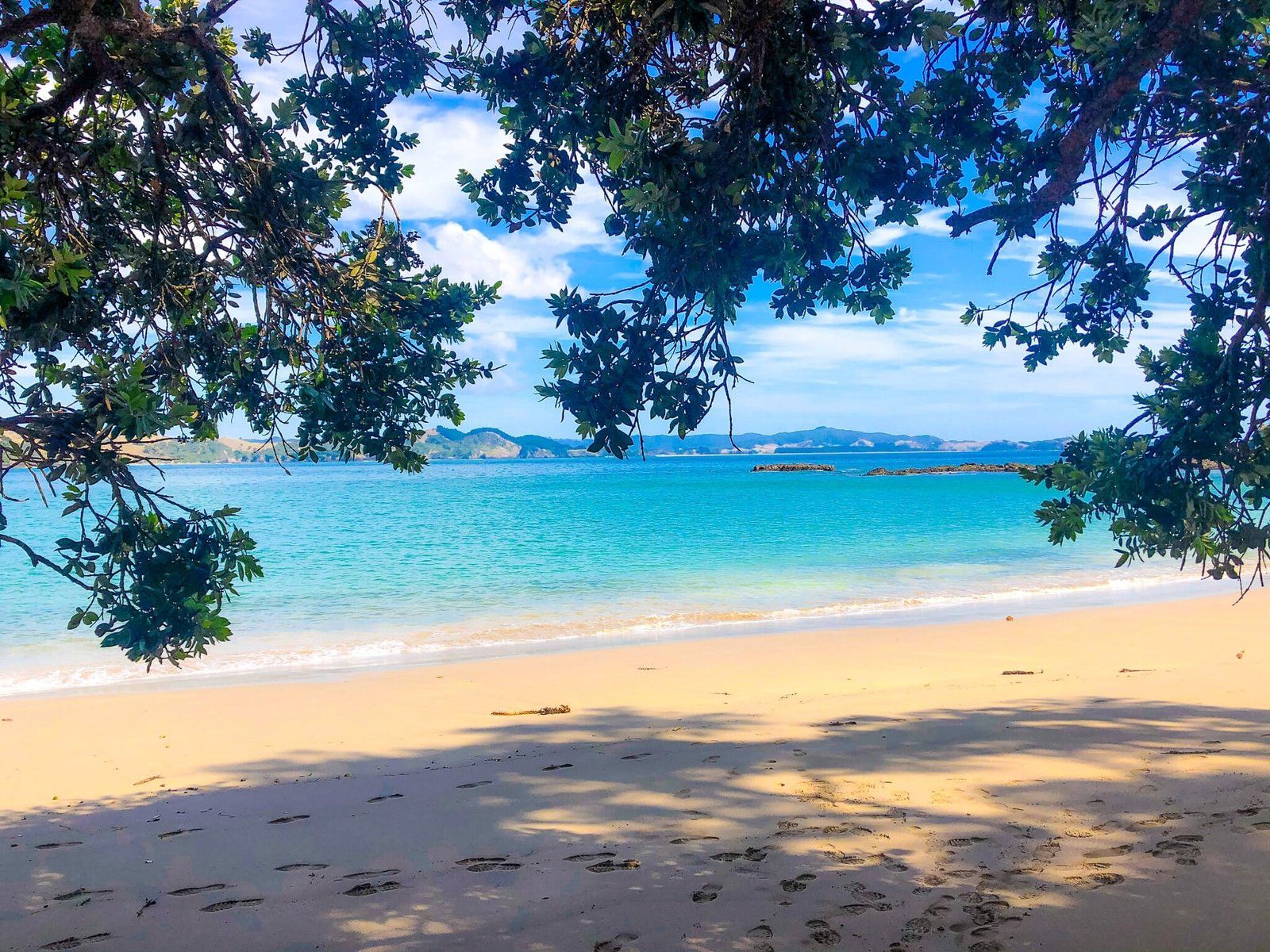
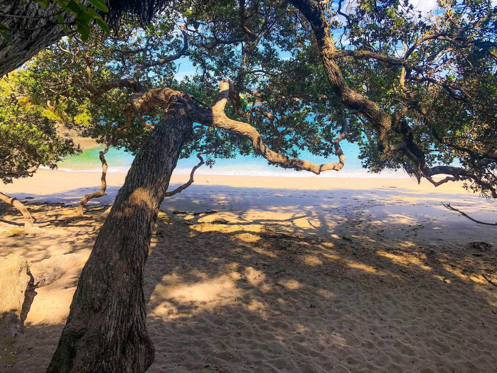
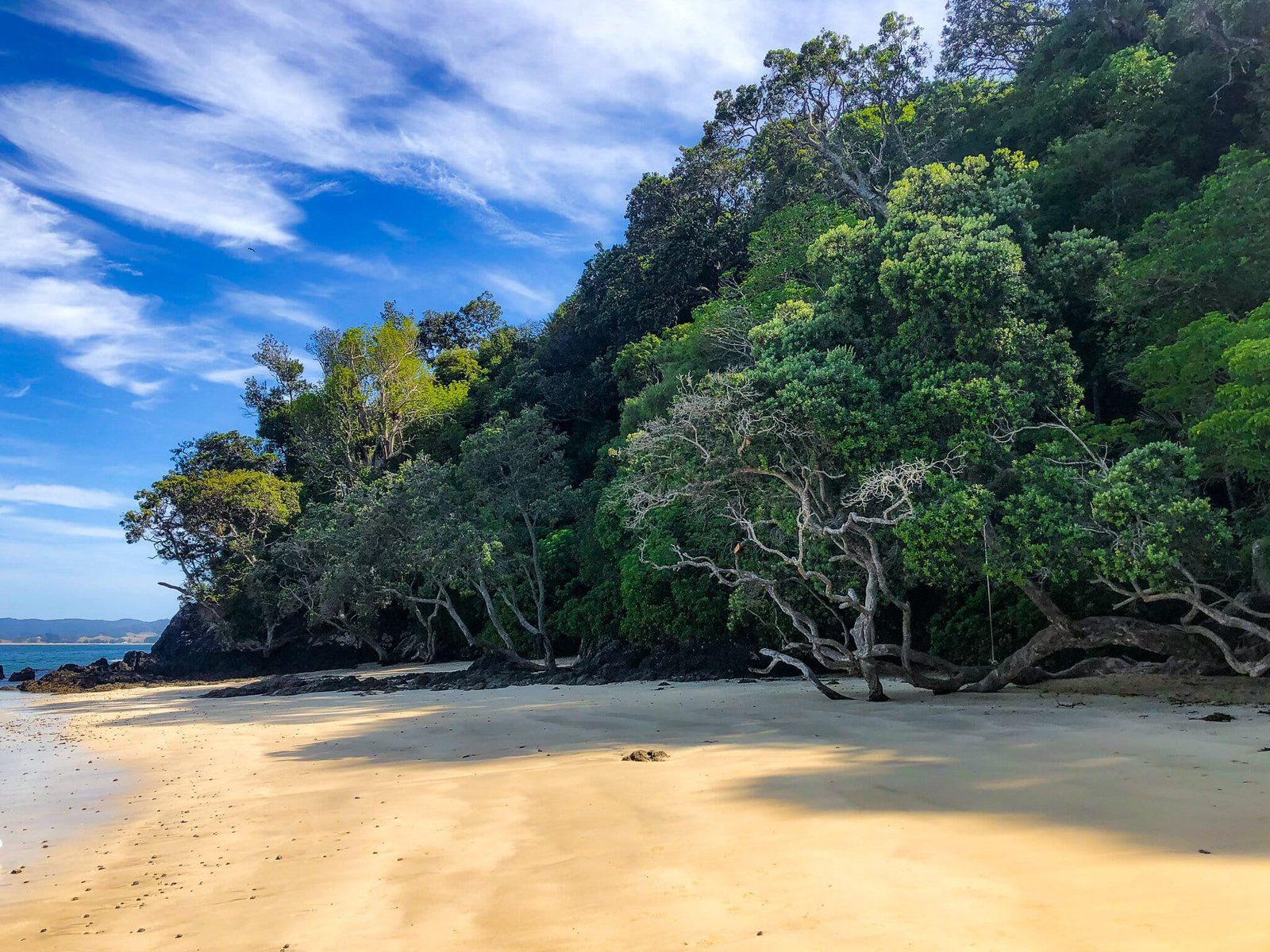
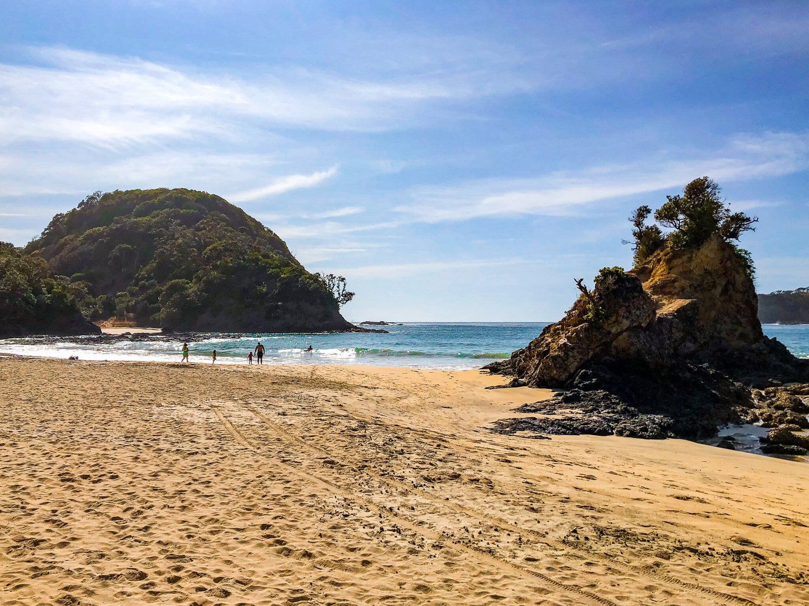
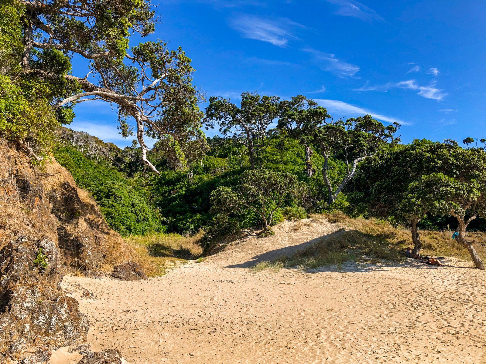
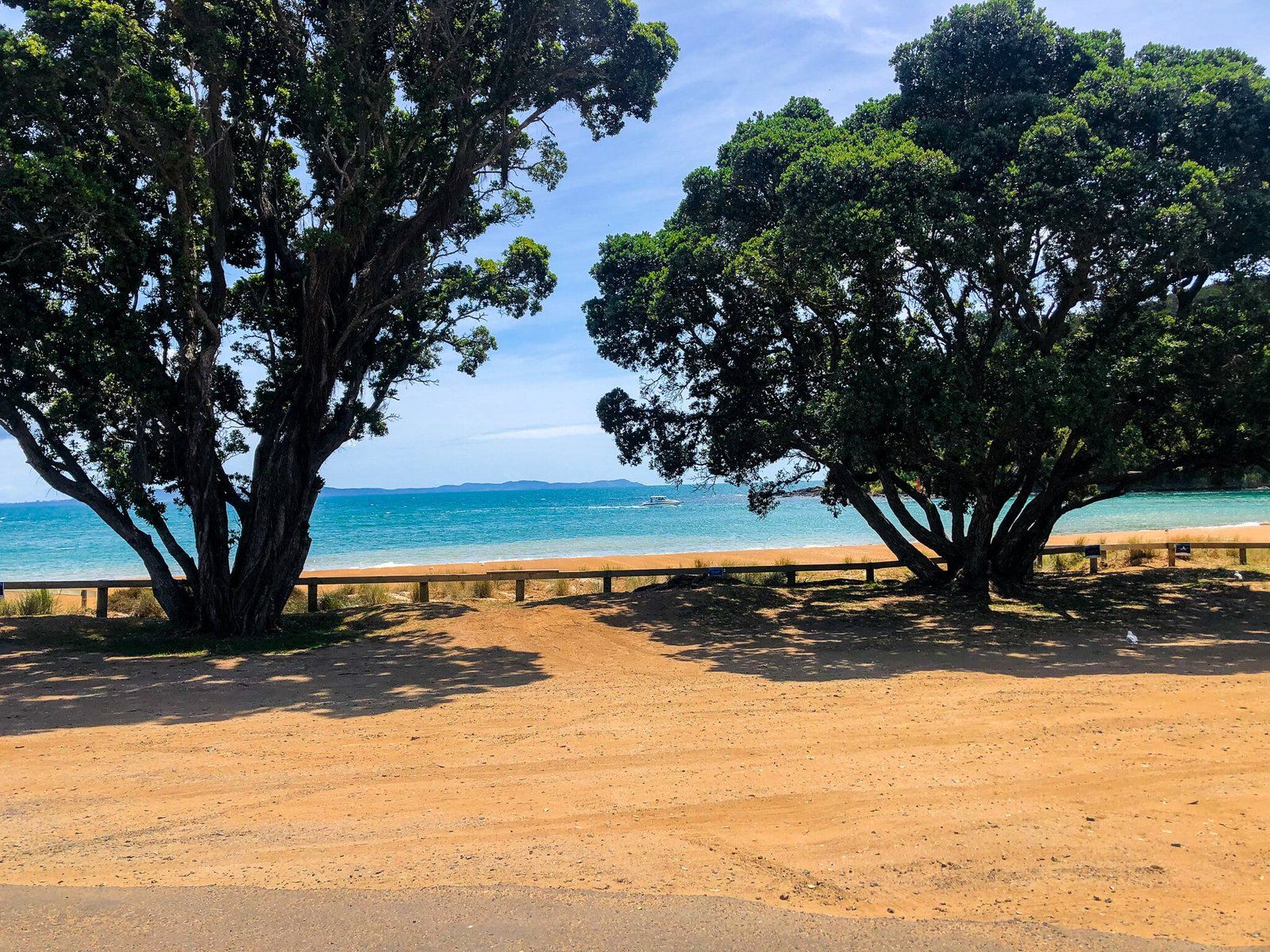
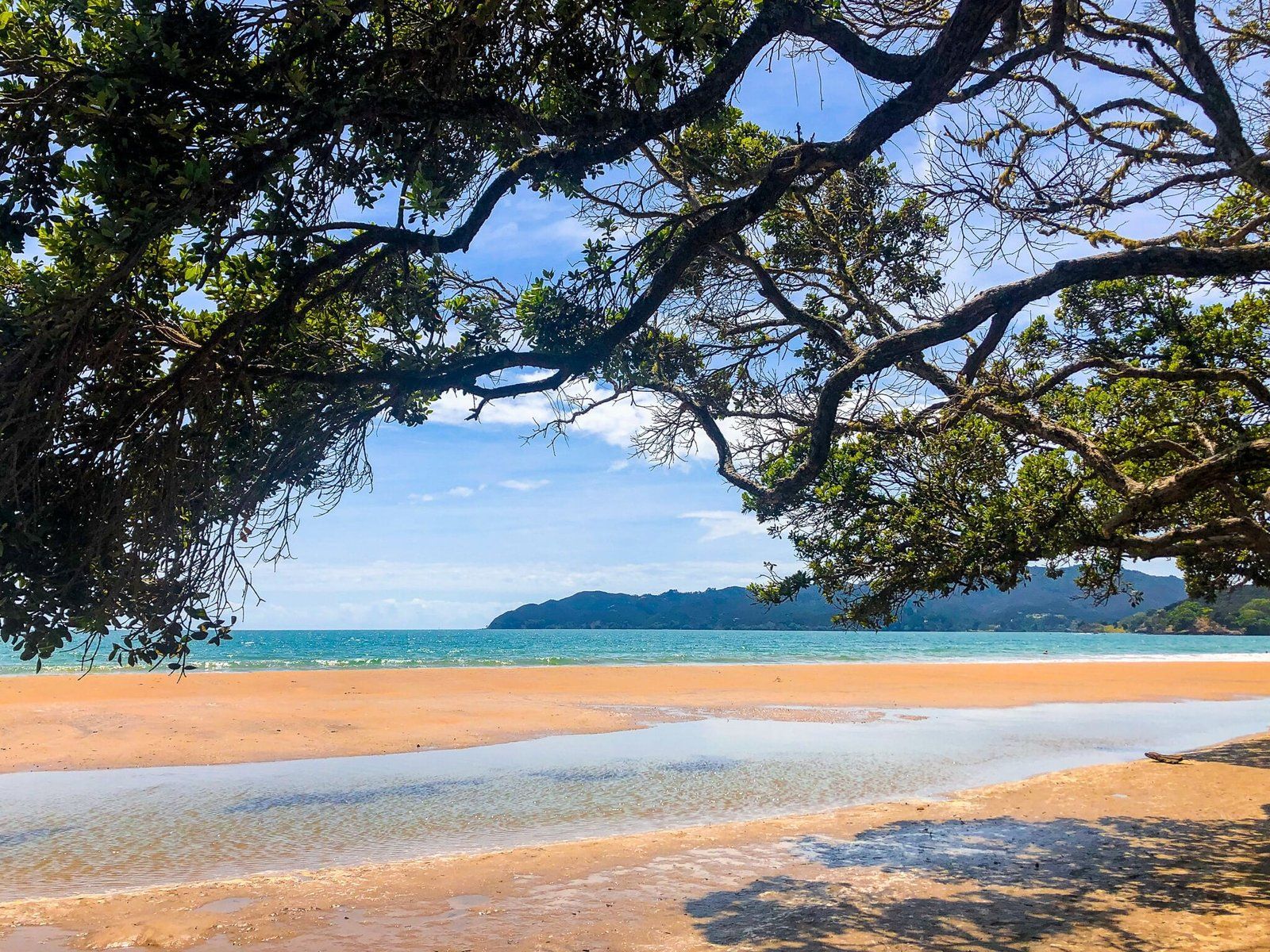
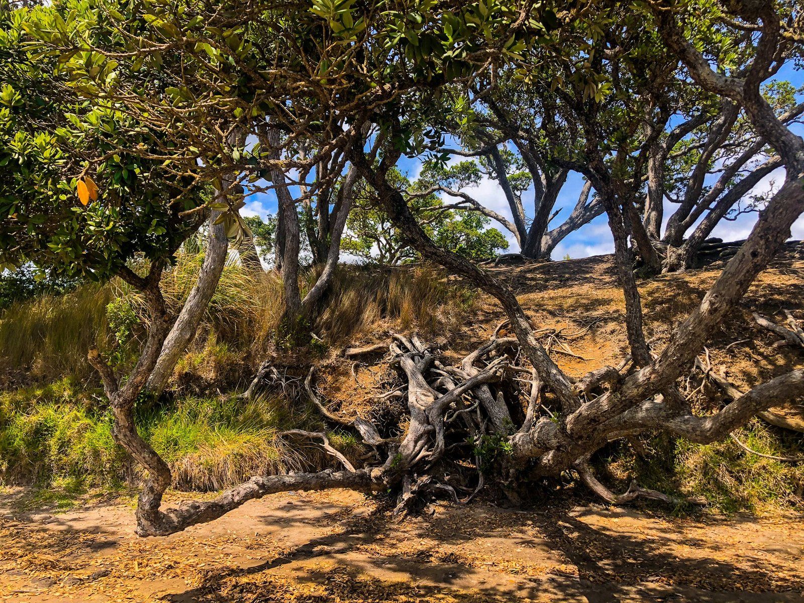
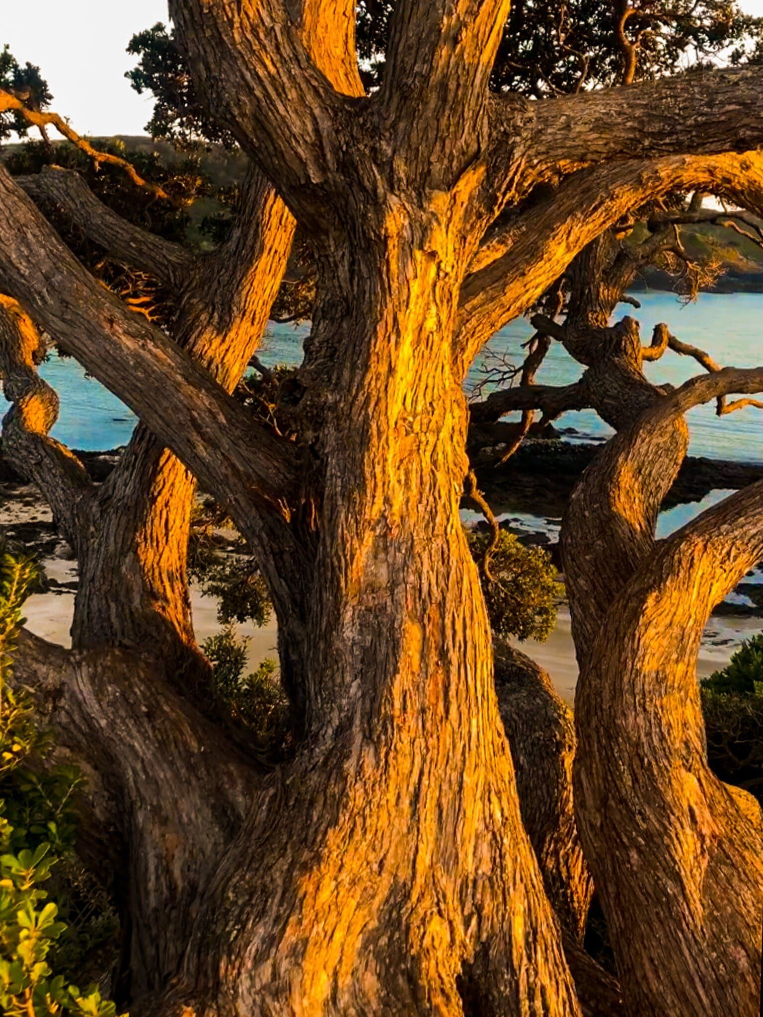
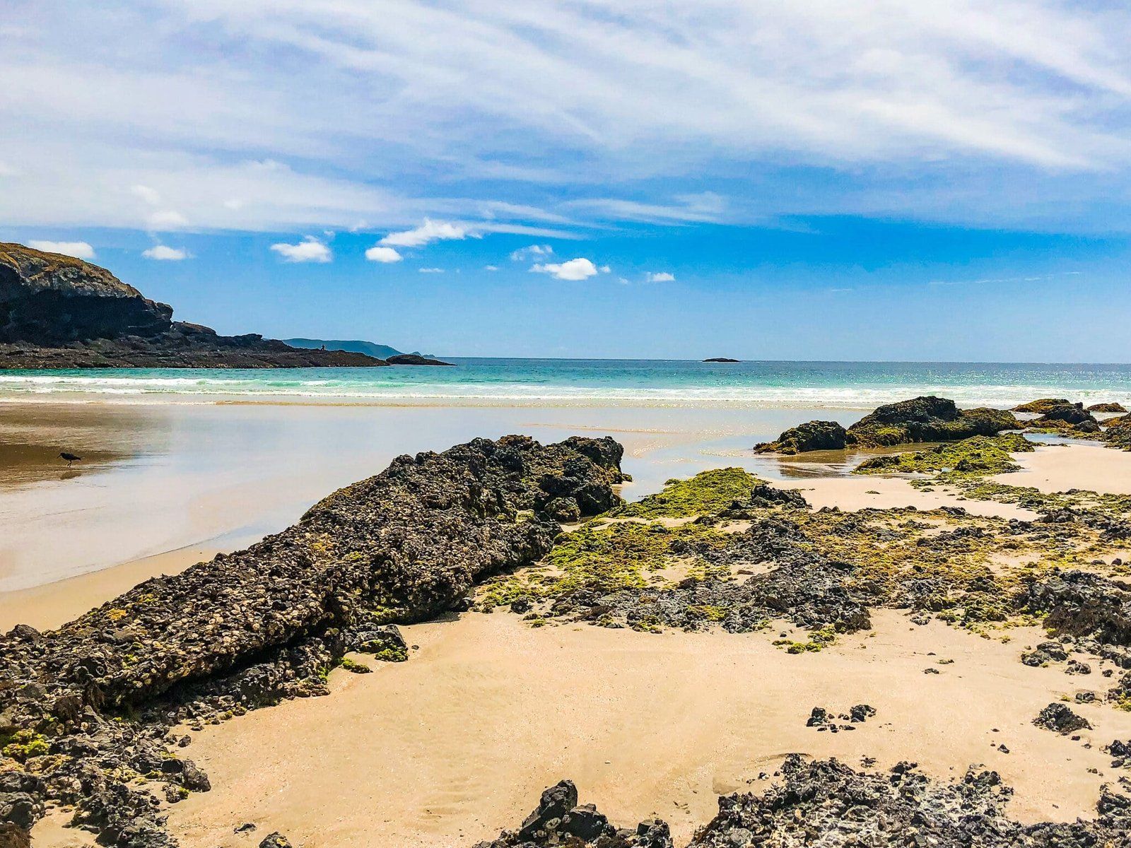
Whale Bay boasts idyllic white sand, bush fringed with big overhanging pōhutukawa trees, and safe swimming. According to many, it is the prettiest and best beach in Northland, if not NZ. Unfortunately, it’s not that big, so try and avoid visiting during a holiday period. There are no services, so we recommend taking a picnic.
Access is by foot only from the car park on Matapouri Road (30 mins round trip) on the start of the Otito Track along the top of the ridge above the bay. It goes through mature bush and puriri trees before descending to the beach.
Whale Bay can also be accessed from Matapouri to the south as well. The most direct approach is a climb up the hill to the ridge above the bay from Morrison Rd and Ringer Ave, which takes 40 mins one way.
Matapouri Bay
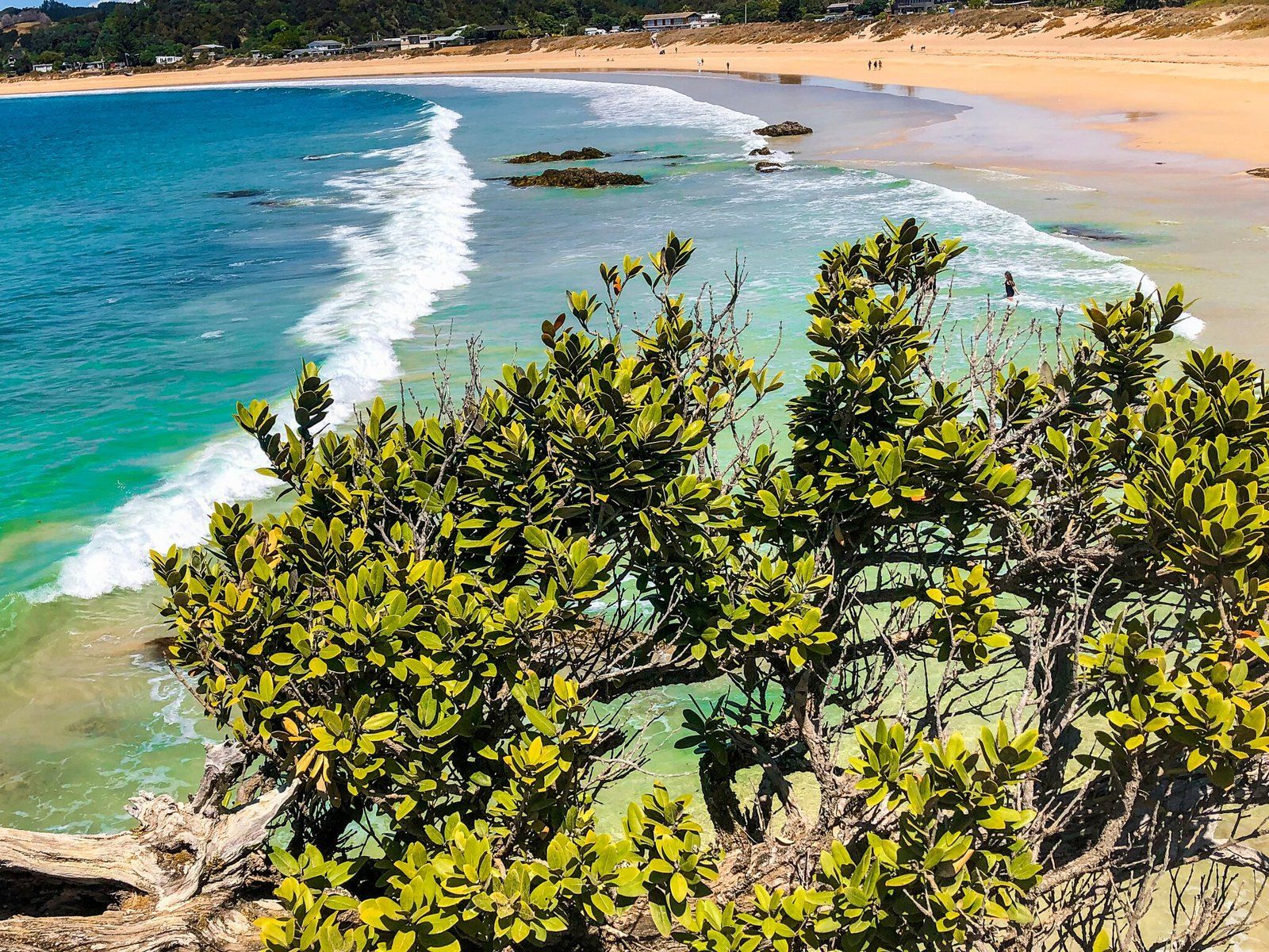
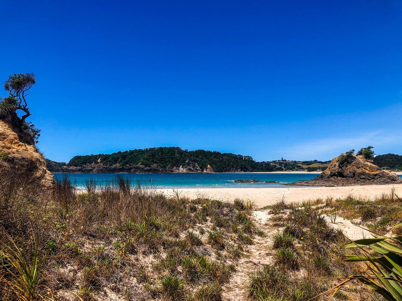
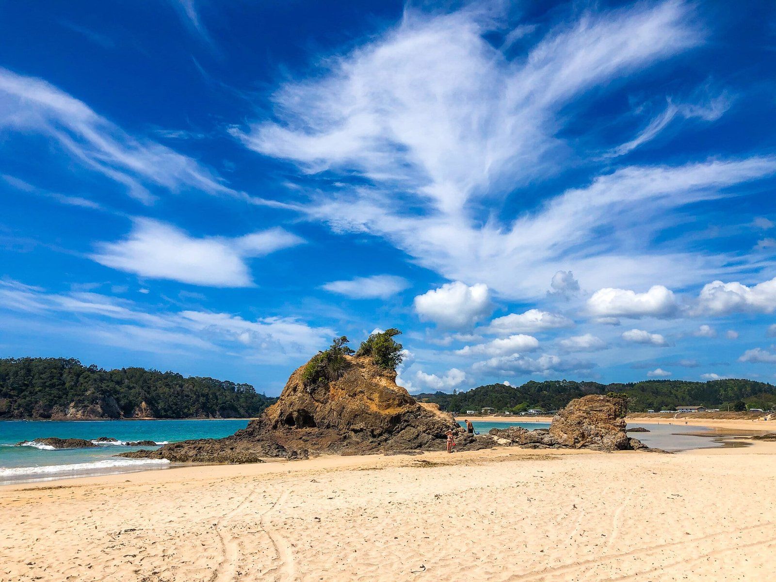
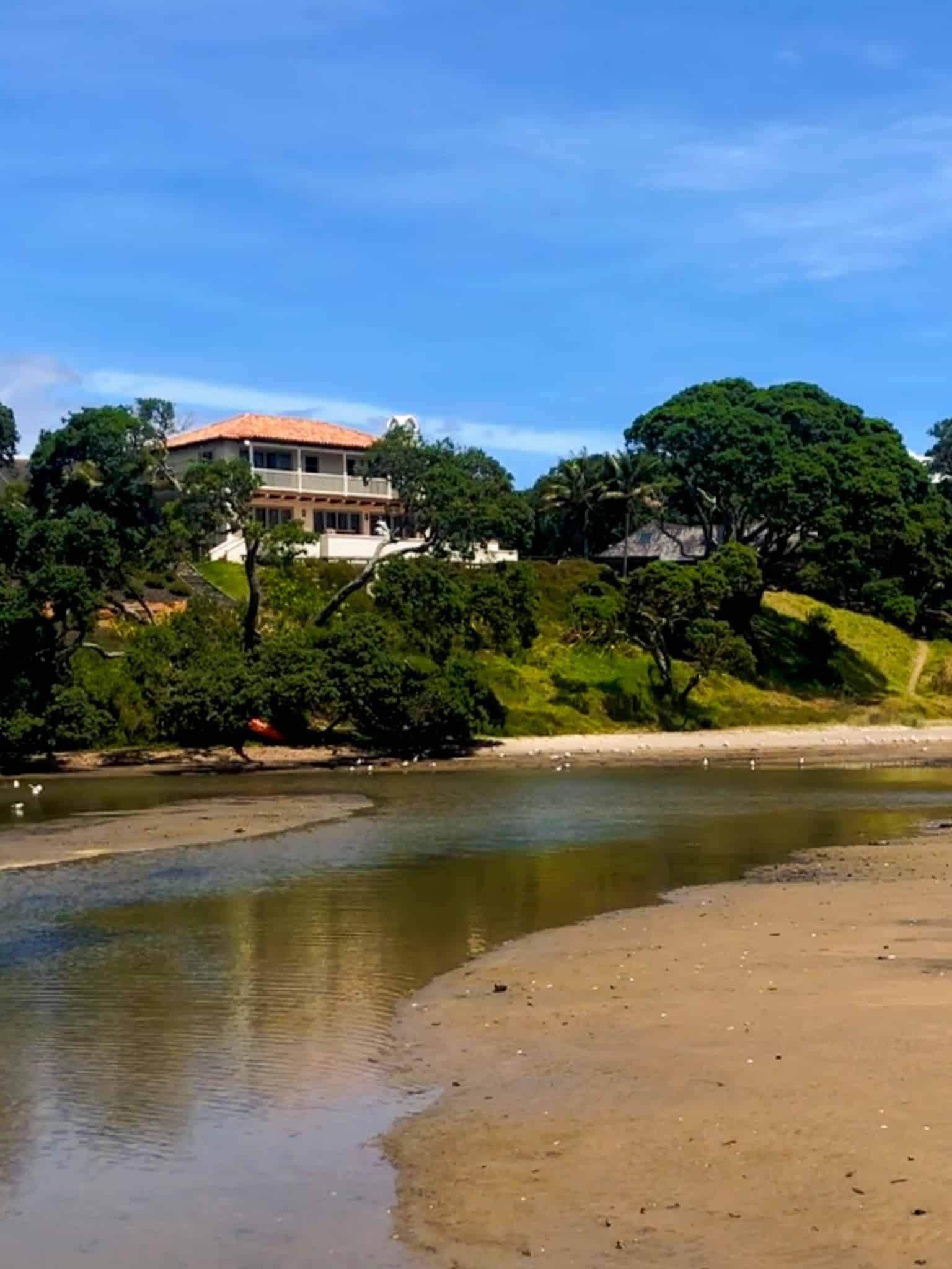
Matapouri Bay is a small holiday village with one of several beautiful white sand beaches on the Tutukaka Coast. The beach shelters just behind rocky Rangitapu Point to the north with the south end bounded by a pretty, sandy estuary. It is especially safe for swimming.
There is also the Otito Track loop via stunning Whale Bay (about 40 minutes one way). The coastal section also has great views and follows a cliff line.
Services in Matapouri are limited to a local store but it is only a few minutes to the Tutukaka village to the south by car.
Matauri Bay
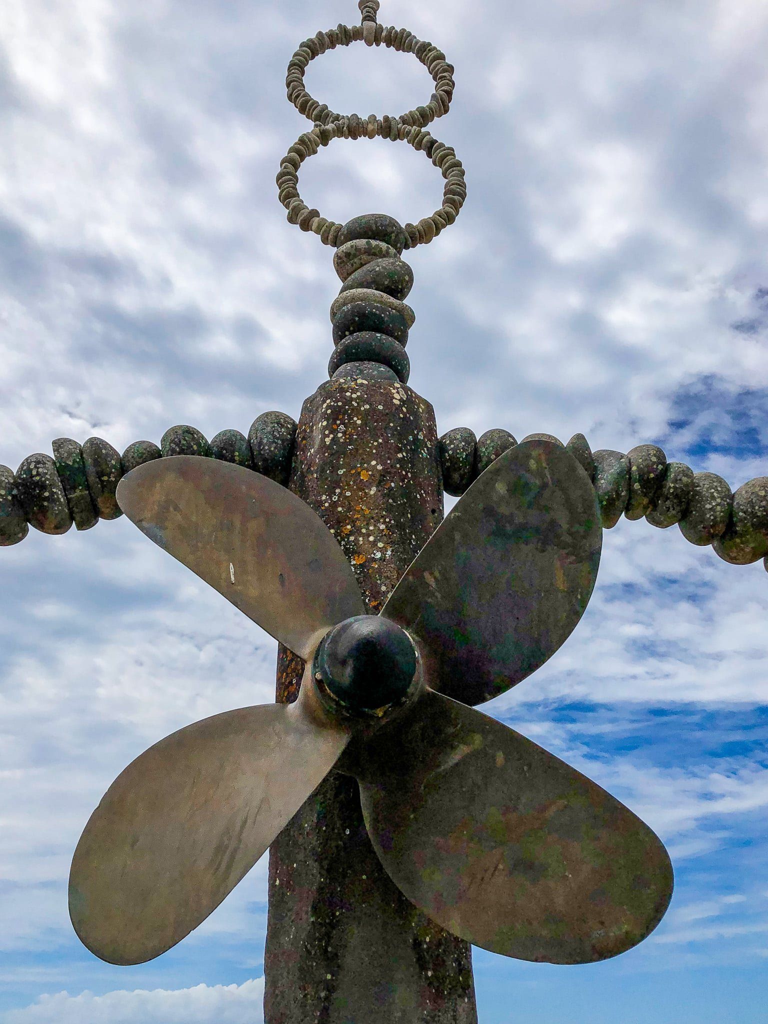
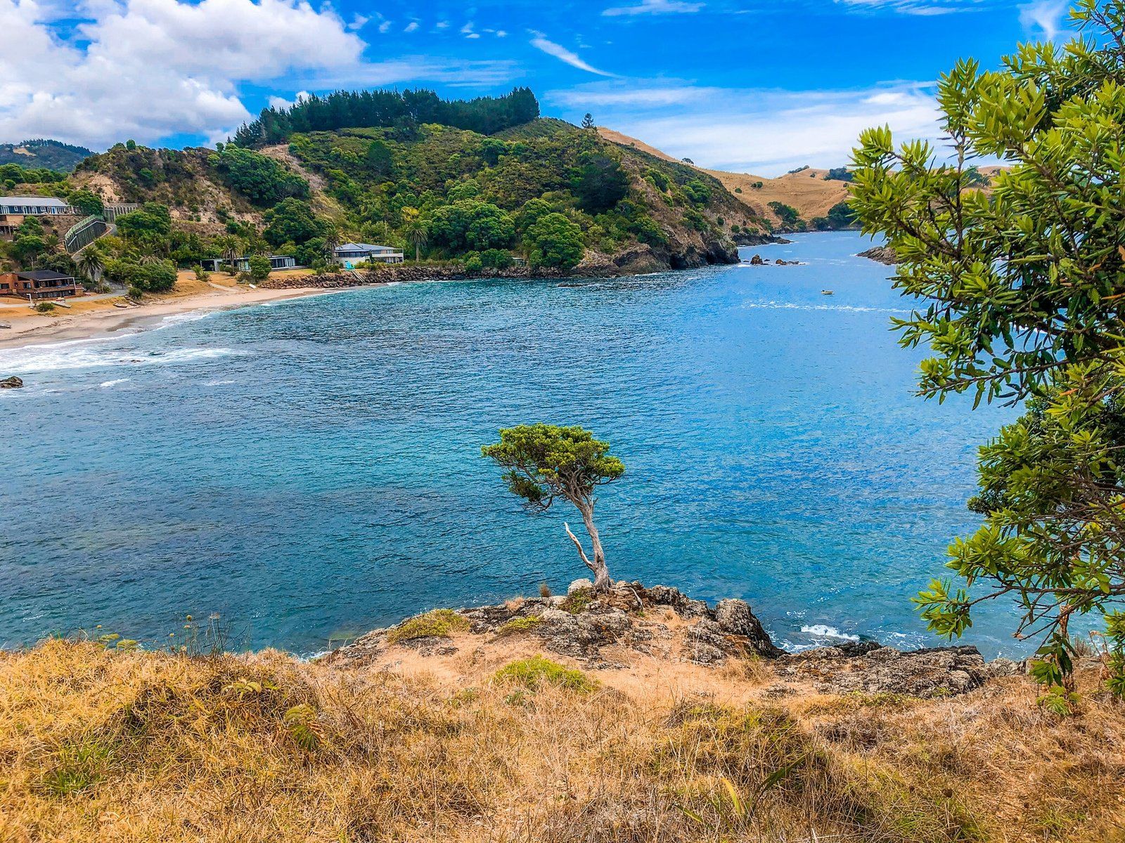
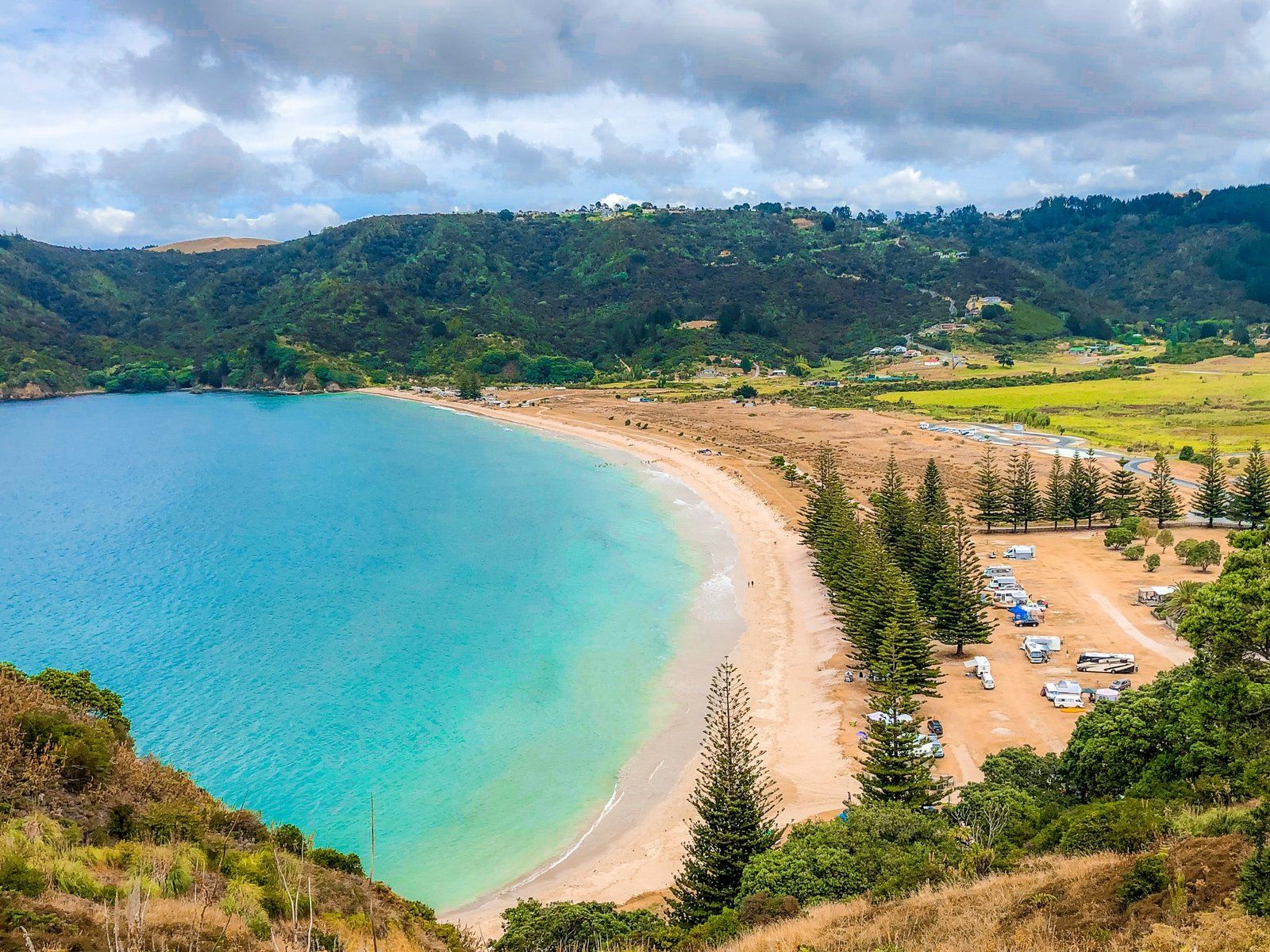
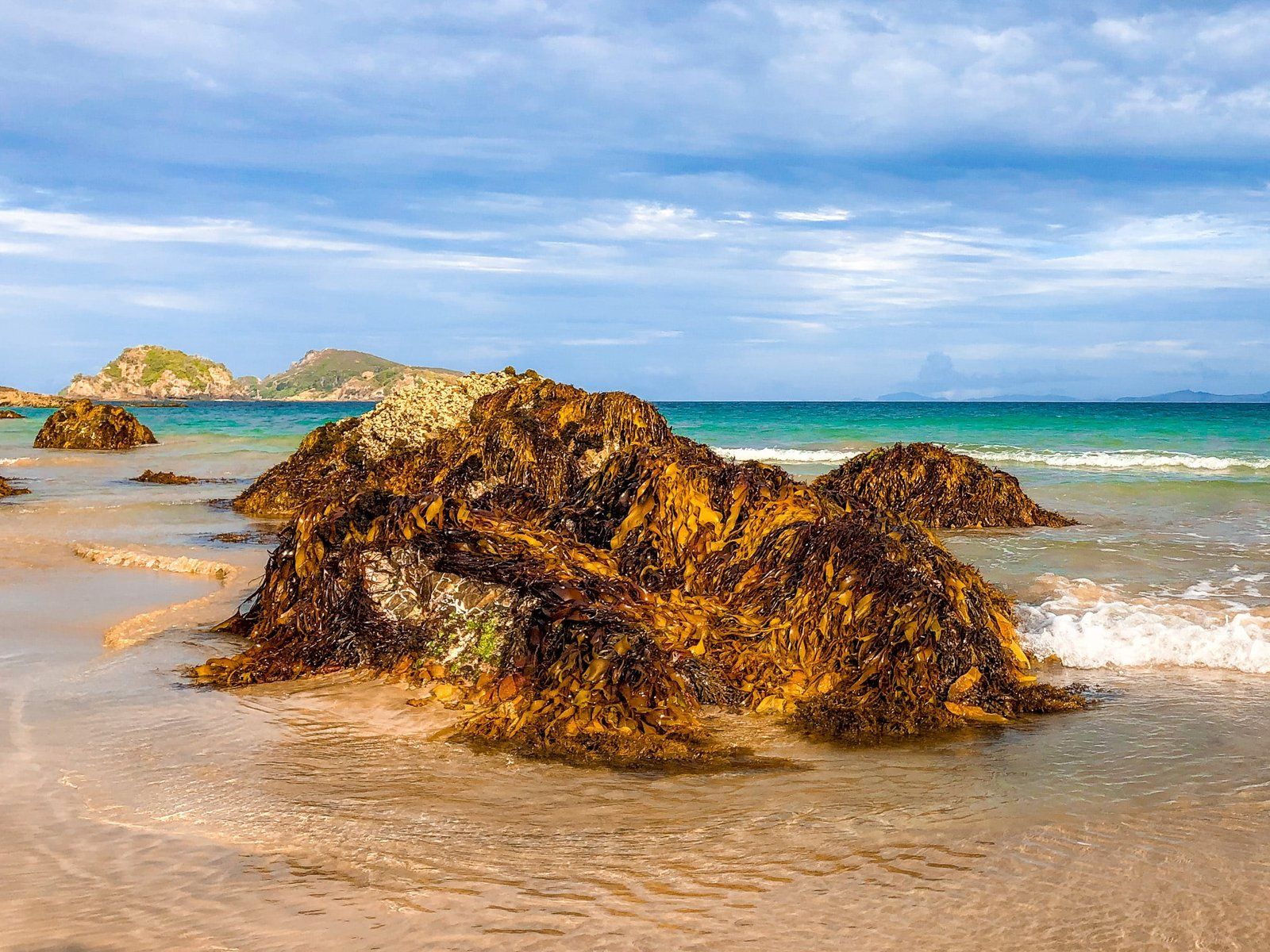
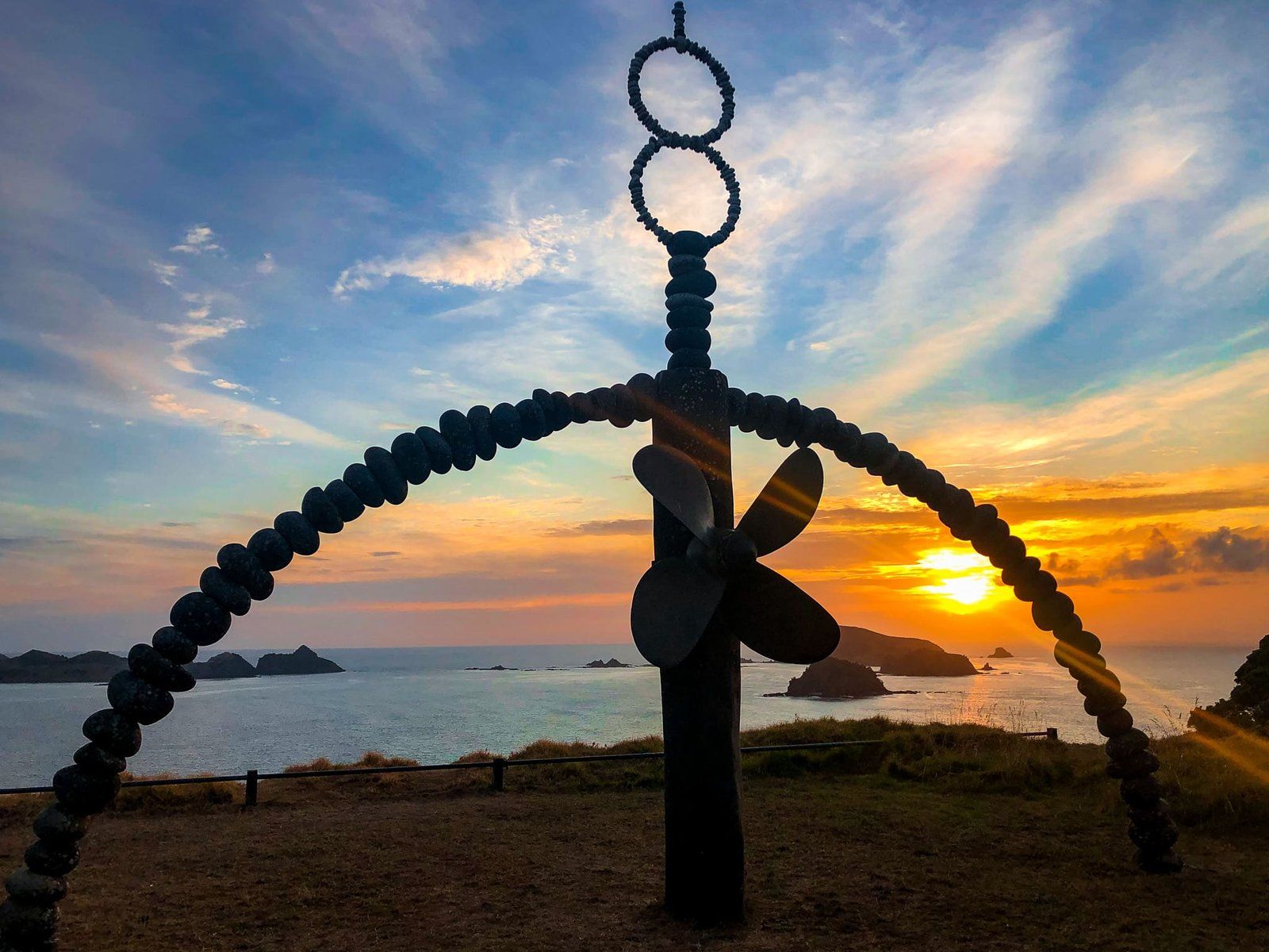
30 kms north of Kerikeri in Whangaroa, Matauri Bay is one of the most beautiful bays in New Zealand. Its white sand beaches and crystal clear waters make it popular for camping, swimming, snorkelling, water sports, horse trails, or just hanging out on the beach. It is also a good location for learning to surf. There is easy boat access to the Cavalli Islands for diving, including the Rainbow Warrior wreck. You will find a monument to the Rainbow Warrior on the point at the north end of the bay.
Matauri Bay is important in early NZ history. An English missionary, Samuel Marsden, who was the first to present the Christian gospel to Māori, made his first landfall in NZ there in December, 1814. His party was welcomed by the Ngāpuhi war chief, Hongi Hika and Marsden went on to establish the first mission station in Rangihoua in the Bay of Islands. The small Anglican church, some 400 metres before the beach, is the Samuel Marsden Memorial Church.
Another highlight is Mataatua Puhi, a Māori waka taua (war canoe) built to commemorate the Pacific migration that brought Māori to New Zealand. It was launched in 1990, is 21.8m long and takes 36 paddlers. It is housed next to the camping ground.
Mangōnui
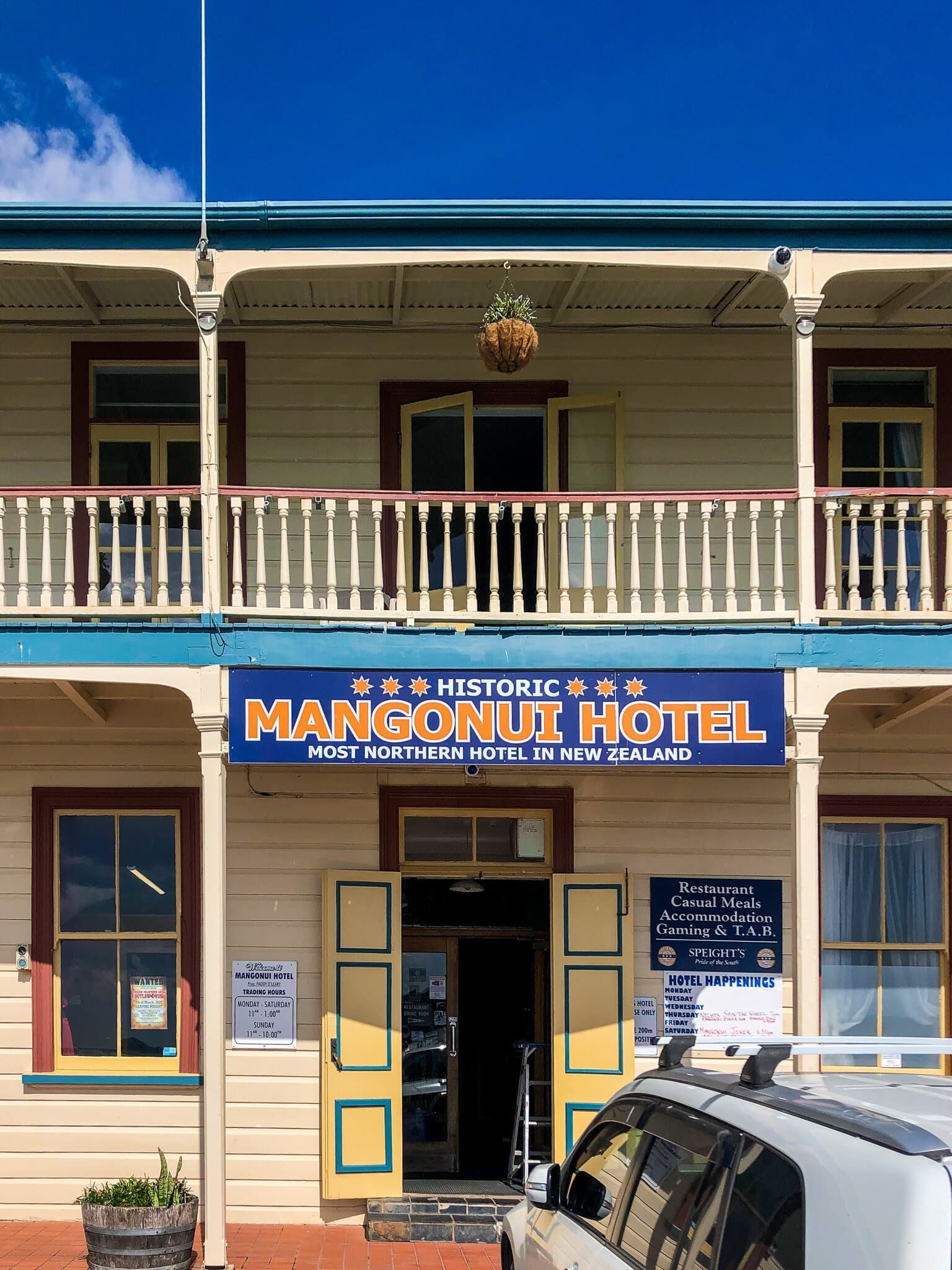
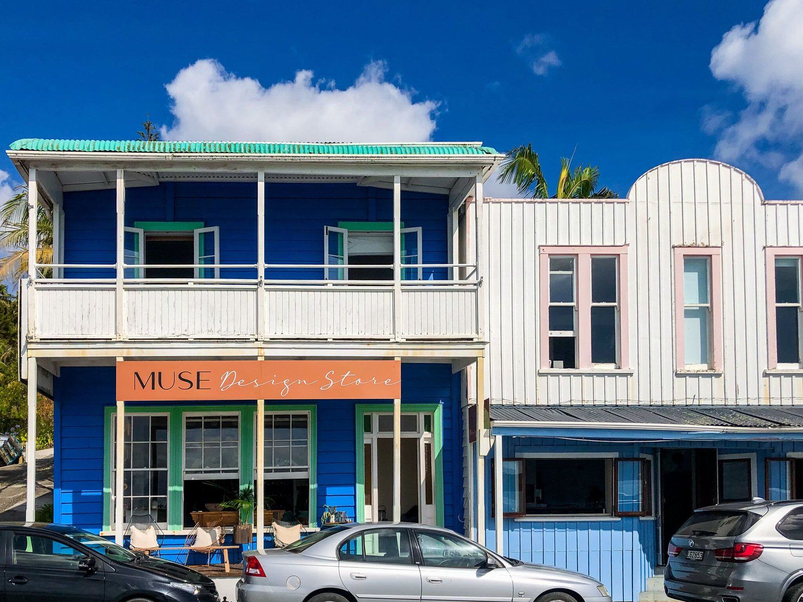
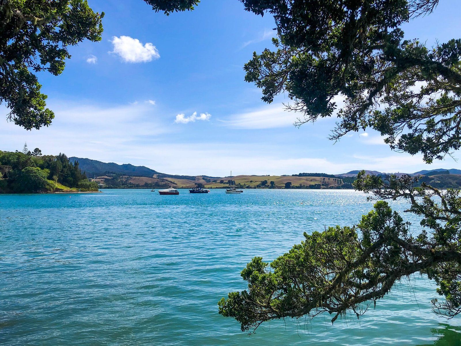
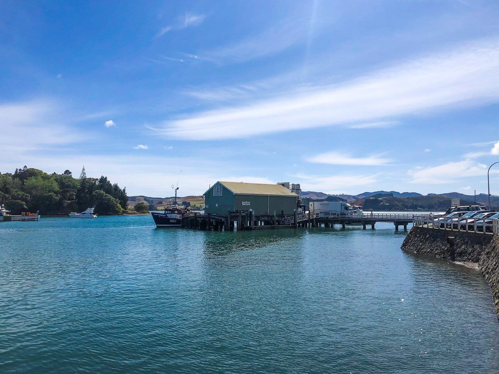
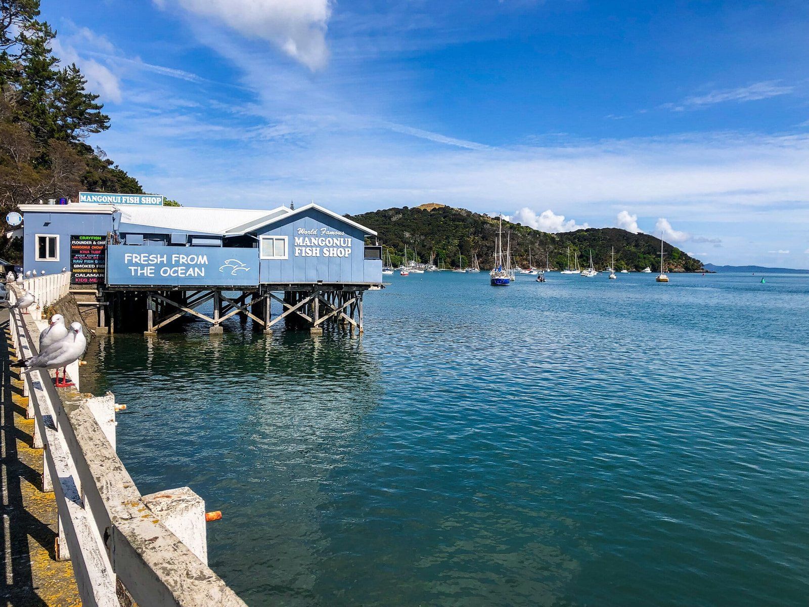
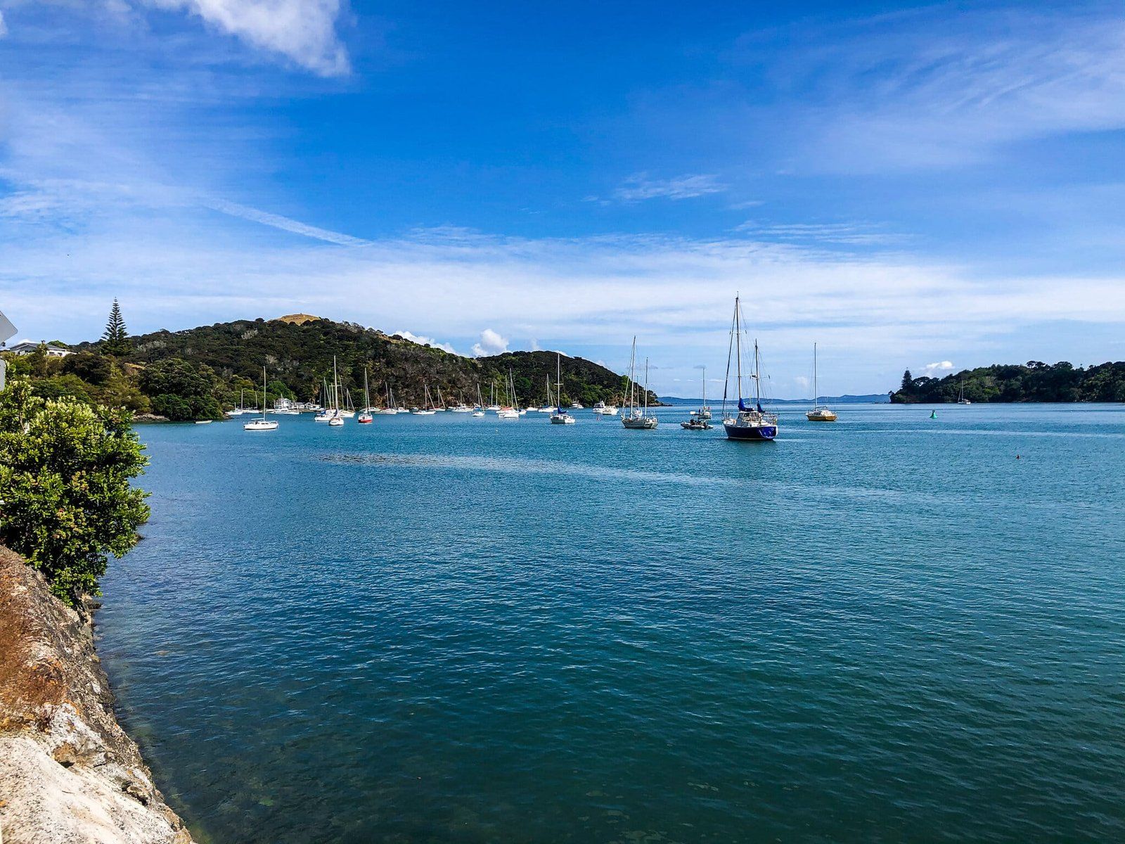
Mangōnui Harbour is at the south end of Doubtless Sound. The town at the end of the harbour was once a whaling, then fishing village. Today, it is filled with cute shops and cafes, plus a dock you can swim off at high tide. Be sure to stop at the local ice cream parlour and the Mangōnui Fish Shop.
There is a heritage walk around the town and you can climb up to Rangikapiti Pā for the views of Doubtless Bay. From the centre of Mangōnui town, head northwest along the coast road until you see the track. It takes about 25 minutes to get to the summit.
Doubtless Bay
Doubtless Bay is about 20 kms wide and has a number of beautiful beaches, although they are mostly surrounded by holiday homes. The ones to the southeast are especially pretty – Coopers Beach, Cable Bay and Taipa Bay, from east to west.
Cable Bay is especially attractive due to the amazing colour of its sand – an extraordinarily rich red/orange colour – and it is worth stopping just to see this. It is also a sheltered safe swimming bay with stunning coastal surroundings.
This entire area feels quite compact and civilisation in the form of shops, cafes and restaurants is close by. A good place for a stop to break prior to the final stage north to Cape Reinga.
Maitai Bay
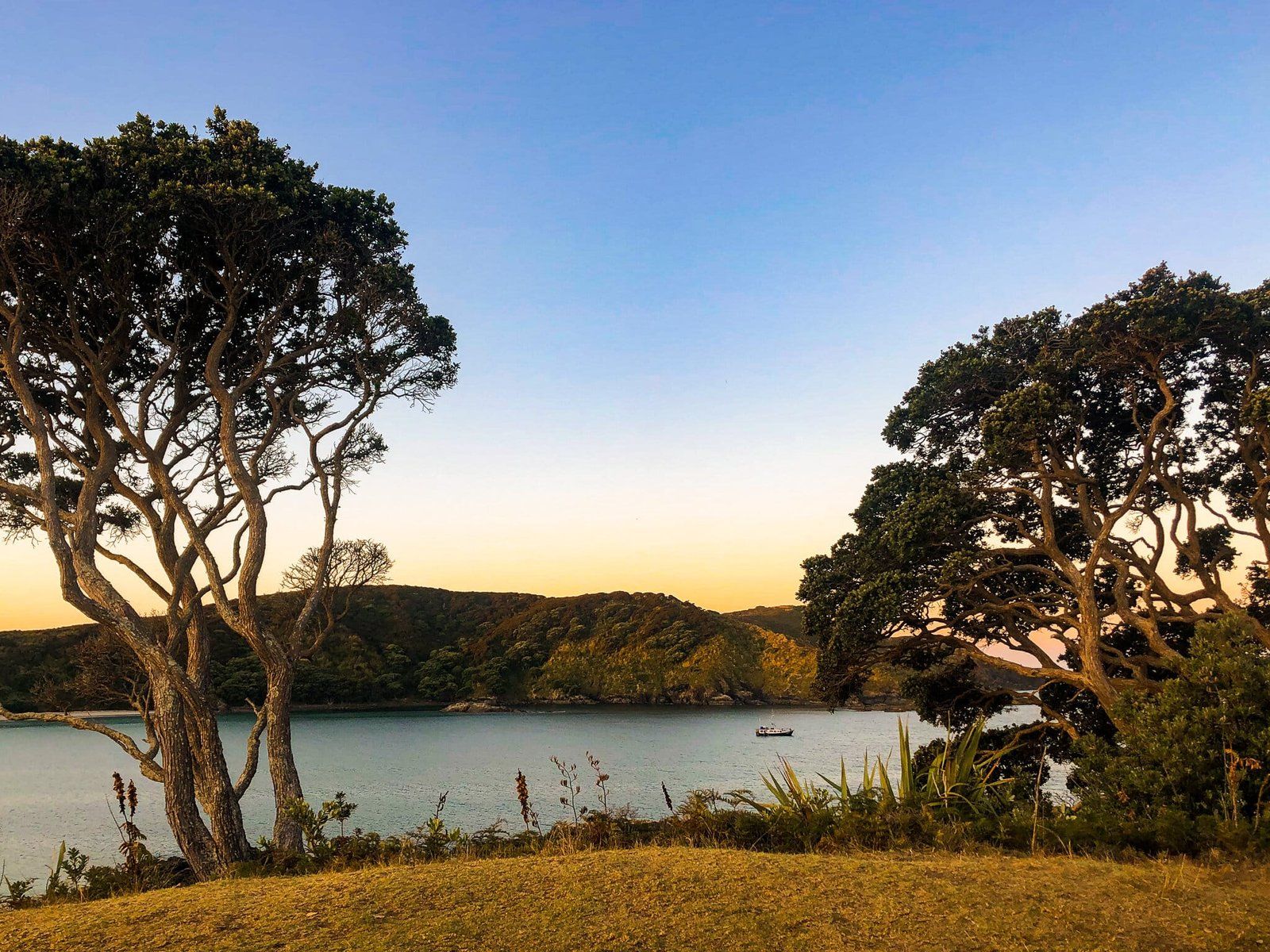
The Karikari Peninsula runs up the northeast side of Doubtless Bay. At the tip are twin horseshoe bays – Maitai and Waikato Bay. If you are camping, Maitai Bay is a must do with one of the most scenic DOC campgrounds in the country. Both bays are well sheltered and swimming is safe.
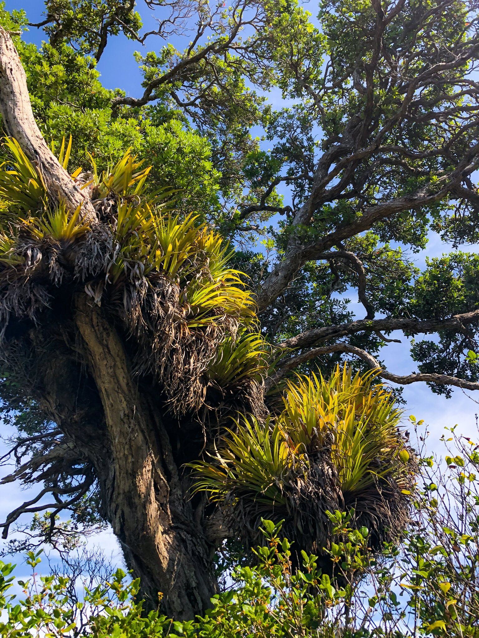
The campsite is very attractive with 100 sites nestled amongst pōhutukawa trees, harakeke and native shrubs. You can also launch a boat at the north end of Waikato Bay. There is no village or other accommodation immediately by the beach, but there are baches and holiday parks at the northern end of Tokerau Beach in Doubtless Bay (about a 15 minute drive).
There are also some nice local hikes; the Fig Tree Track to the Waikato Bay southeastern headland, a hike to the northern headland of Matai Bay, and a walk across to Karikari Beach on the east coast of the Peninsula. These can also be extended as well.
To get there, turn left off of SH10 onto Inland Road. Continue along Inland Road up the peninsula for 15 km, then turn left onto Maitai Bay Rd and continue for 5 km. The Maitai Bay campsite entrance is signposted on your right.
Piwhane Spirits Bay
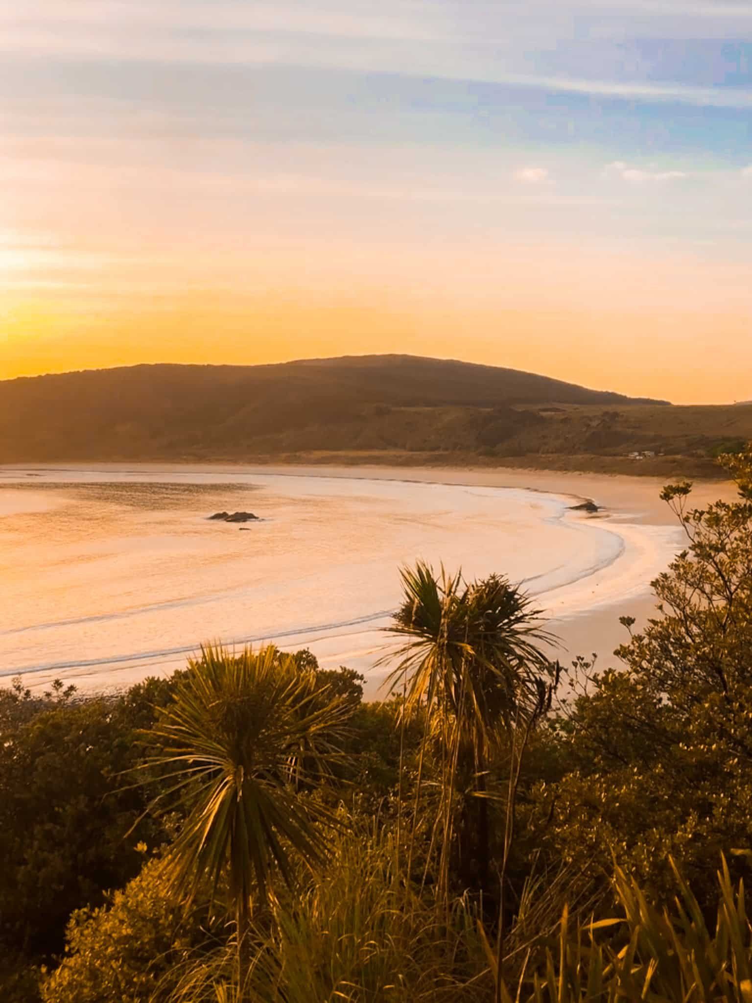
On the final leg of SH1, you will see the turn off to Piwhane Spirits Bay at the hamlet of Waitiki Landing. It is a rather slow windy 15 kms but the payoff is one of the best beaches in Northland and Kapowairua, another stunning DOC campground for campers.
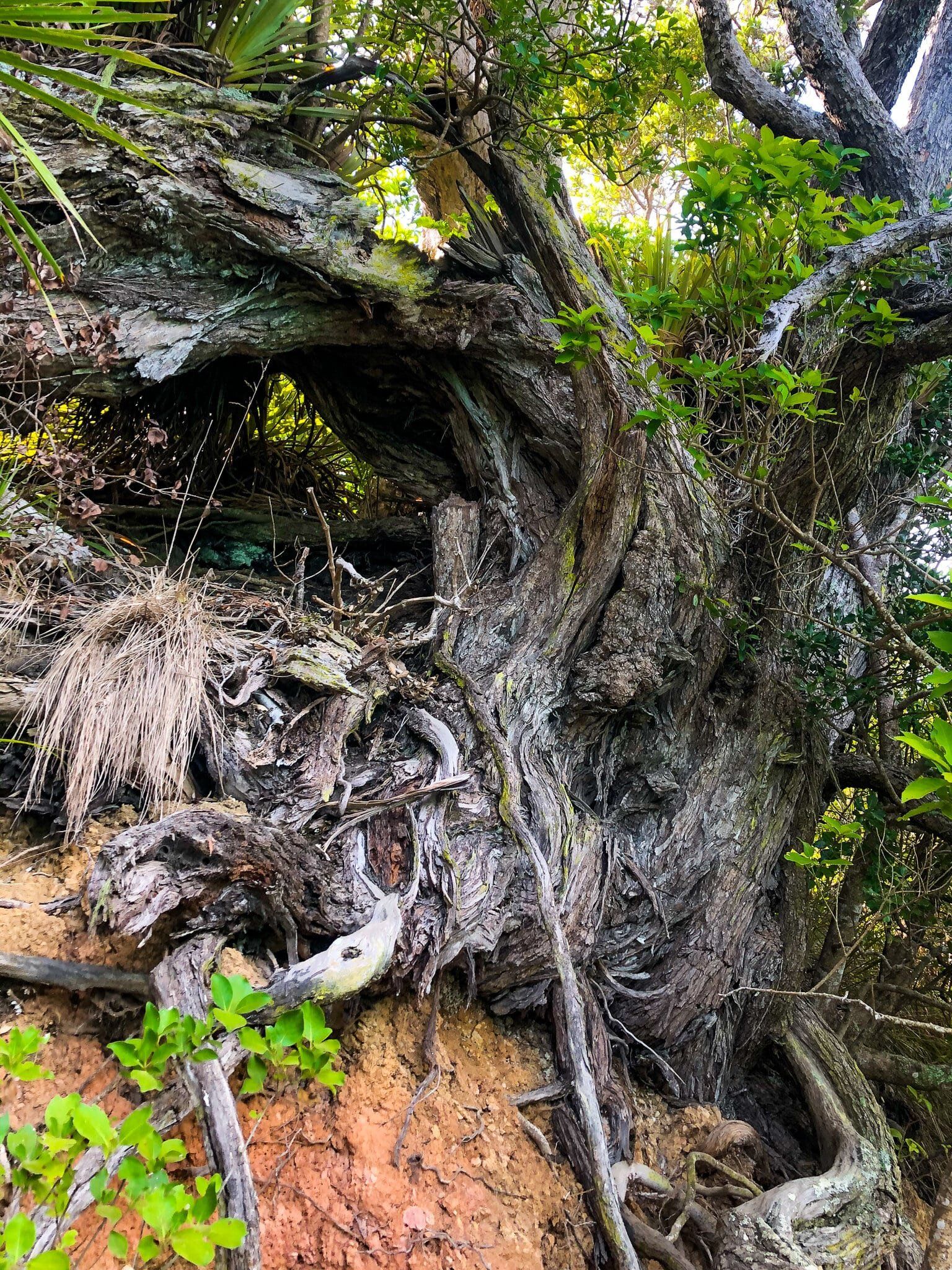
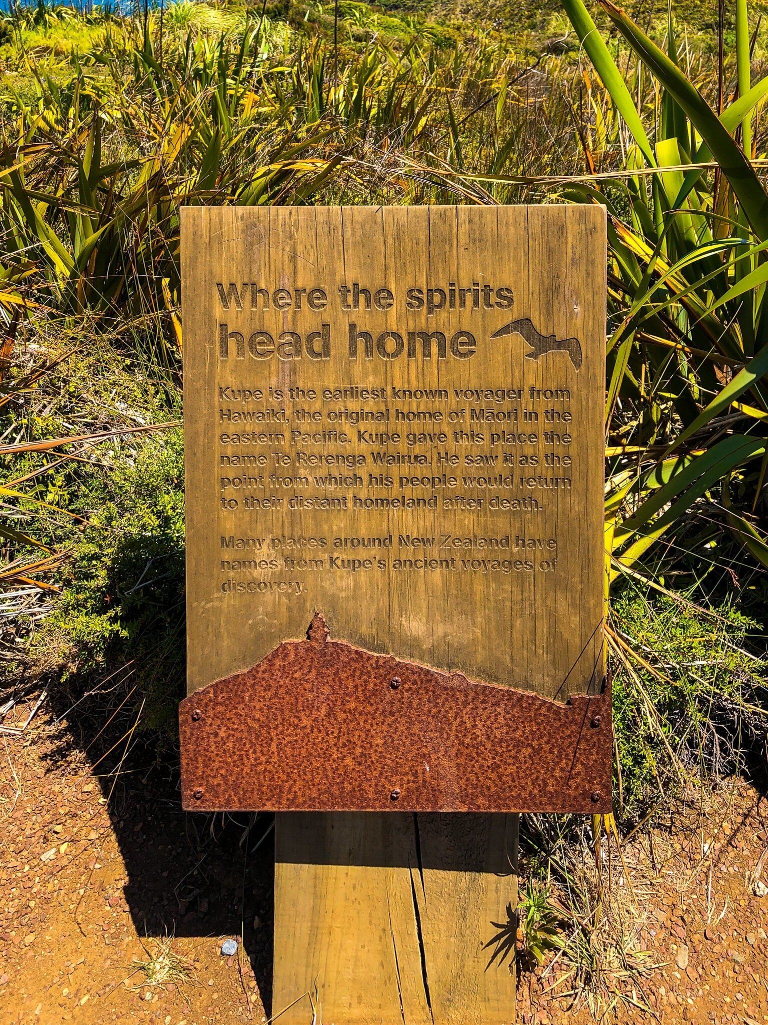
The beach (Te Horo) is long, lovely, crescent shaped and remote, overlooked to the east by the 165 m Maungapiko Hill. The bay is considered a sacred place in Māori culture as the place where spirits gather to travel to their ancestral home in the afterlife. The specific location is from a large old pōhutukawa tree above the bay.
The beach is also the start for the multi-day Te Paki Coastal track, which is a multi-day hike to Te Paki, via Cape Reinga. You can do the first leg as a day walk by either walking west along the beach keeping an eye out for the orange dune marker, then head over the dunes to Waitahora lagoon and boardwalk; or follow the track behind the sand dunes to the lagoon (an easier walk). The track then runs behind the lagoon to Pandora, an even more secluded beach. There is a basic campsite there with toilets, shelter and water supply. Allow 3 hr for this walk one way.
Te Paki
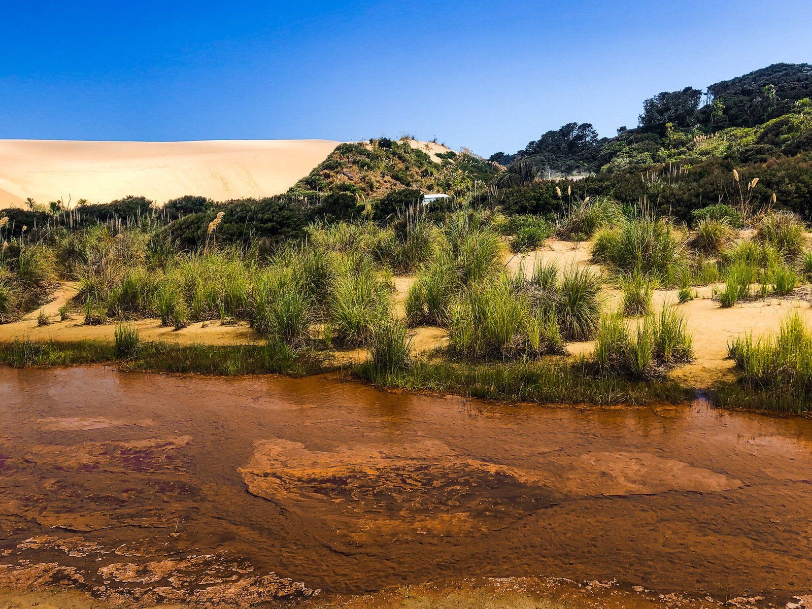
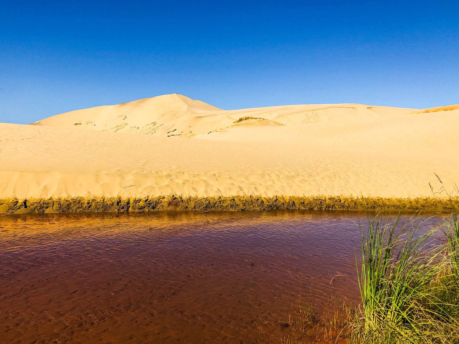
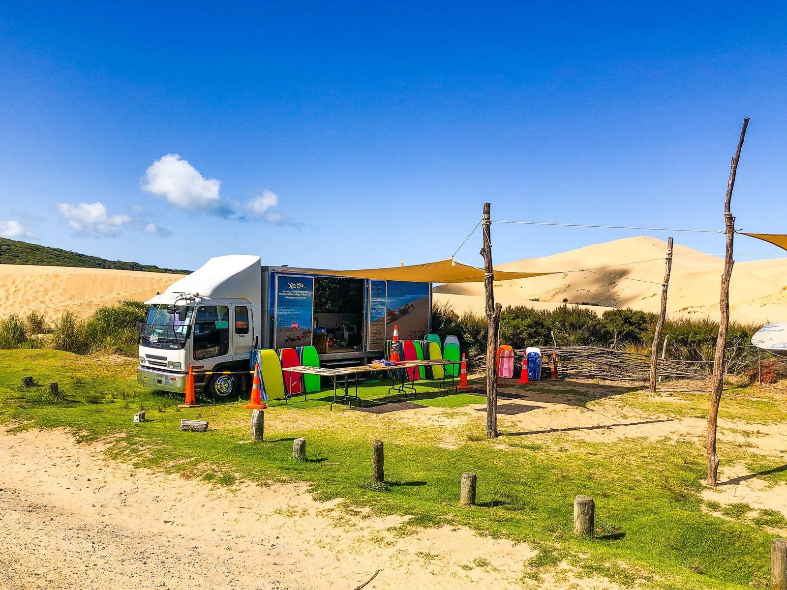
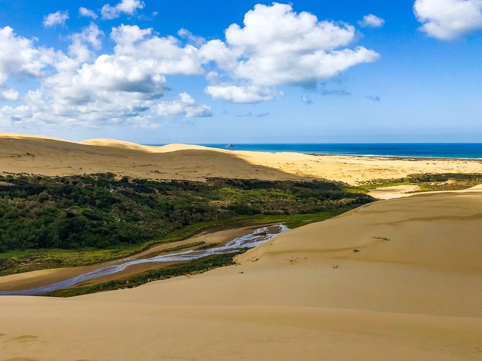
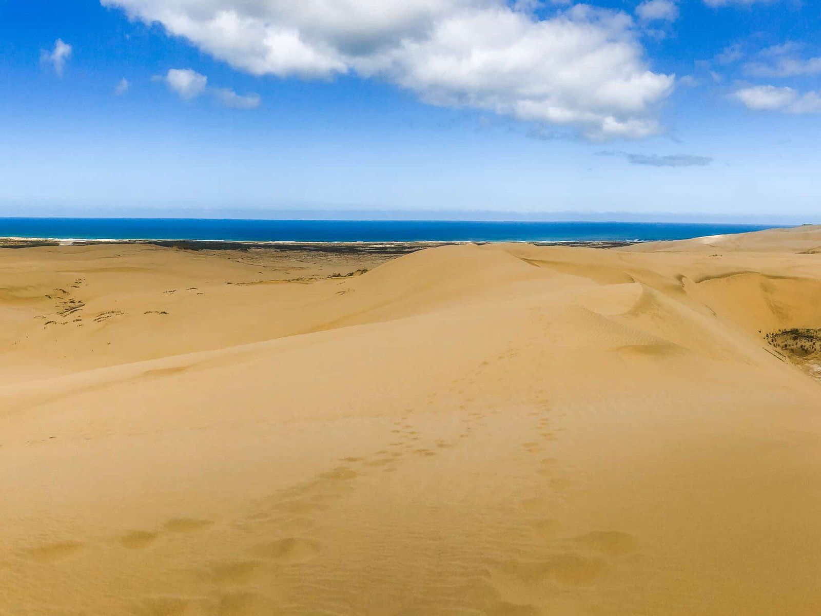
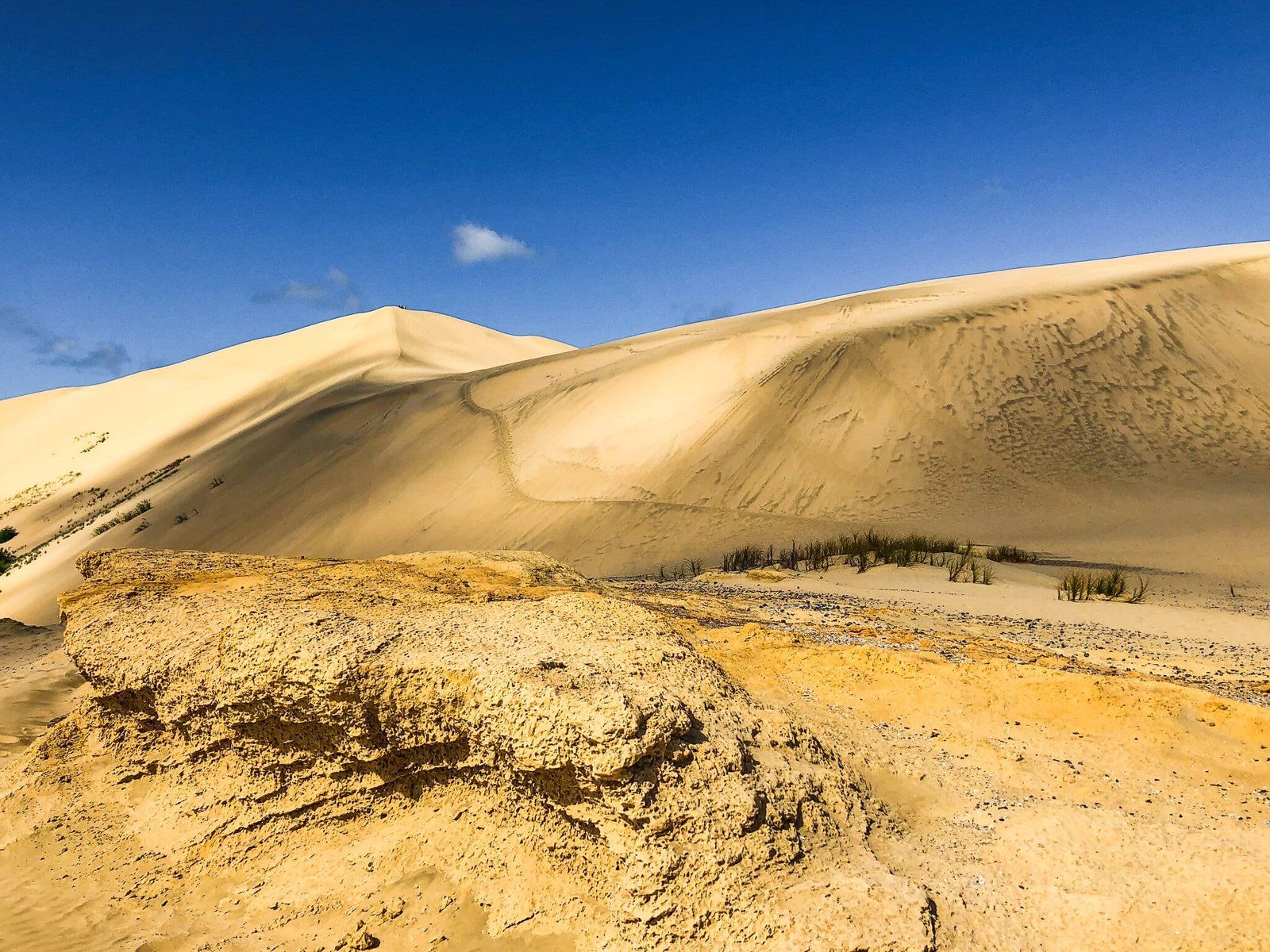
Just before you get to Cape Reinga on SH1, you will see the turn off to Te Paki on Te Paki Stream Road. Follow this short road to the stream below the sand dunes. You can cross the stream by foot to get over to the dunes, or, if you have a suitable vehicle, you can drive down the stream to 90 Mile Beach.
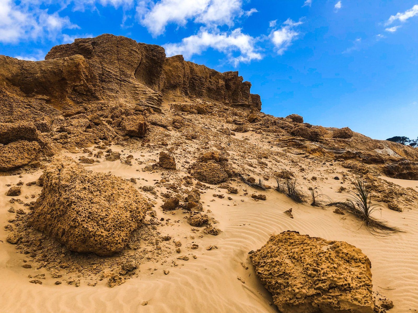
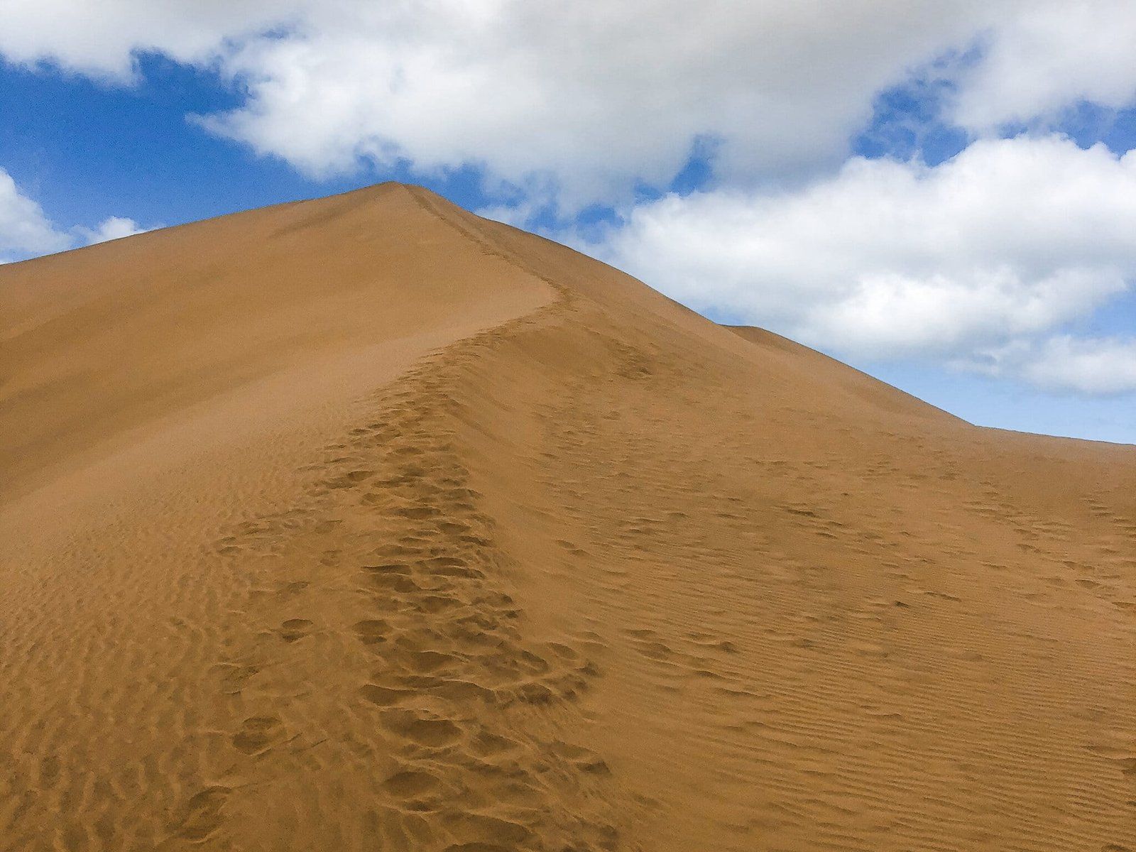
The dunes are stunning – up to 150 m high, 10 km long and 1 km wide. It is a bit of a slog to climb up, but quite doable. Ideally, have a sandboard for a fast way down!
There is also a campsite there, which marks the end of the Te Paki Coastal Track.
Cape Reinga
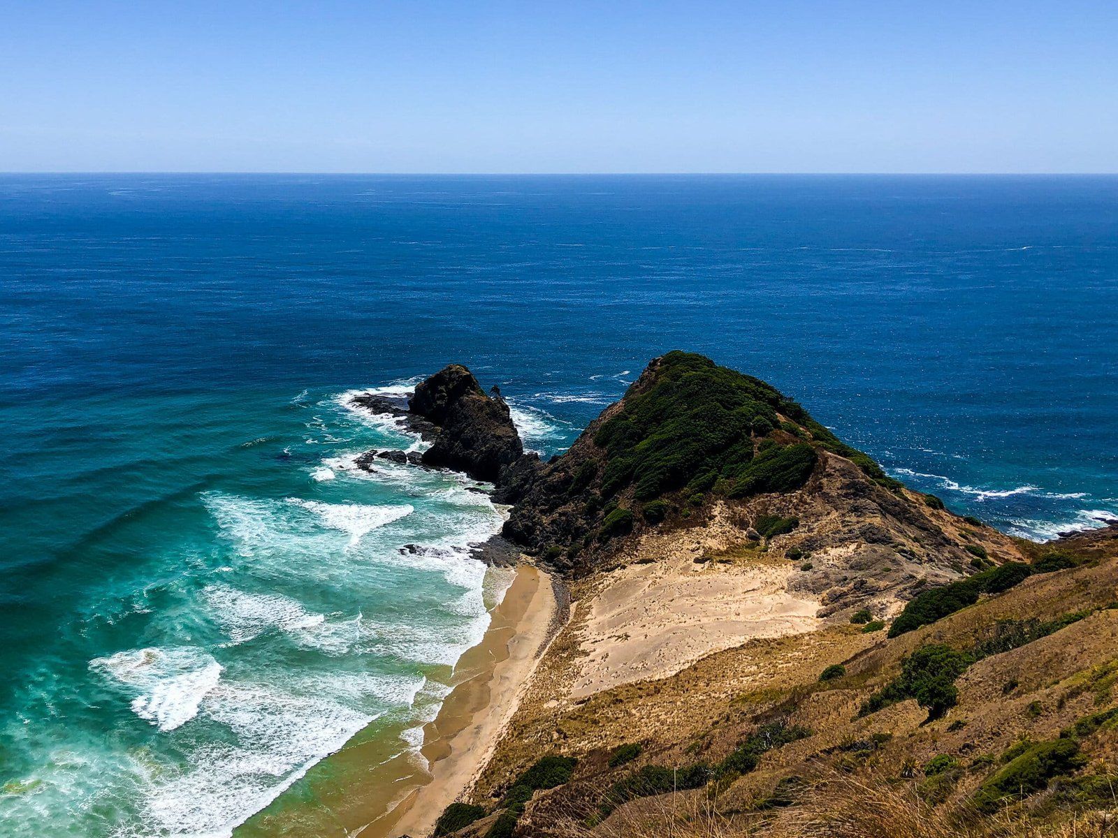
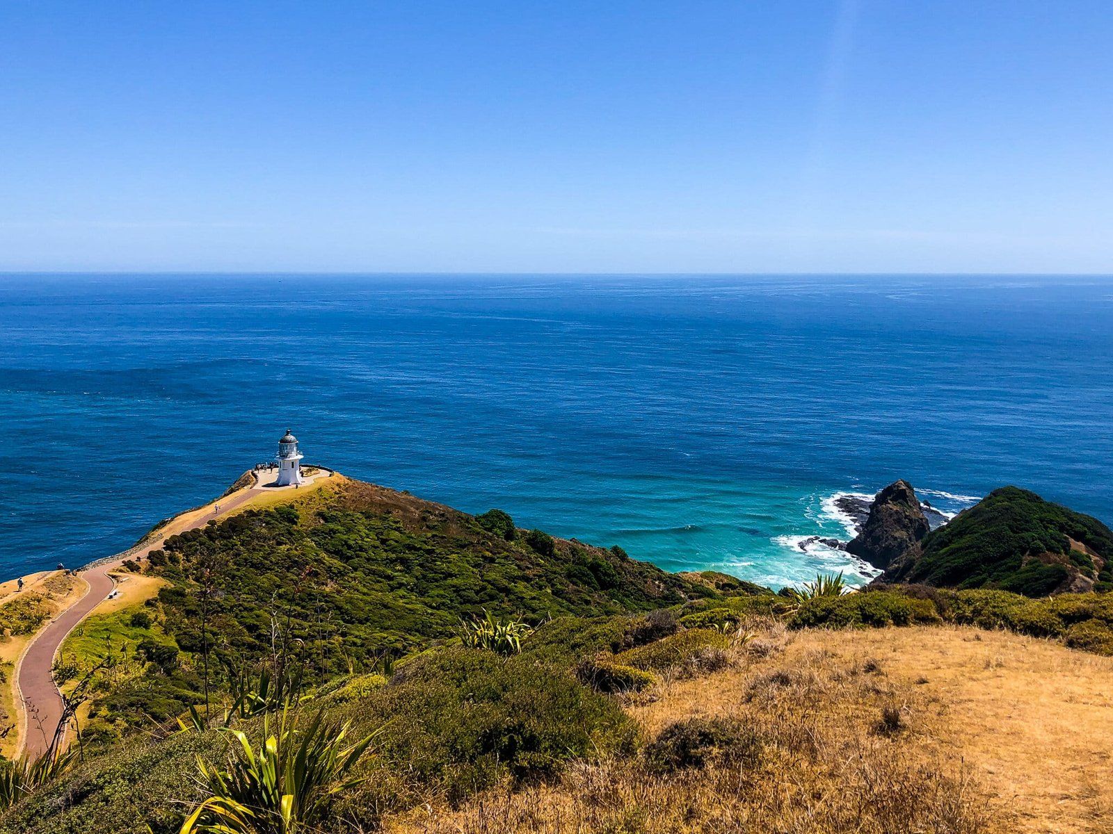
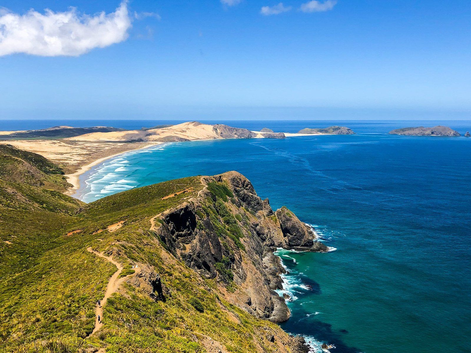
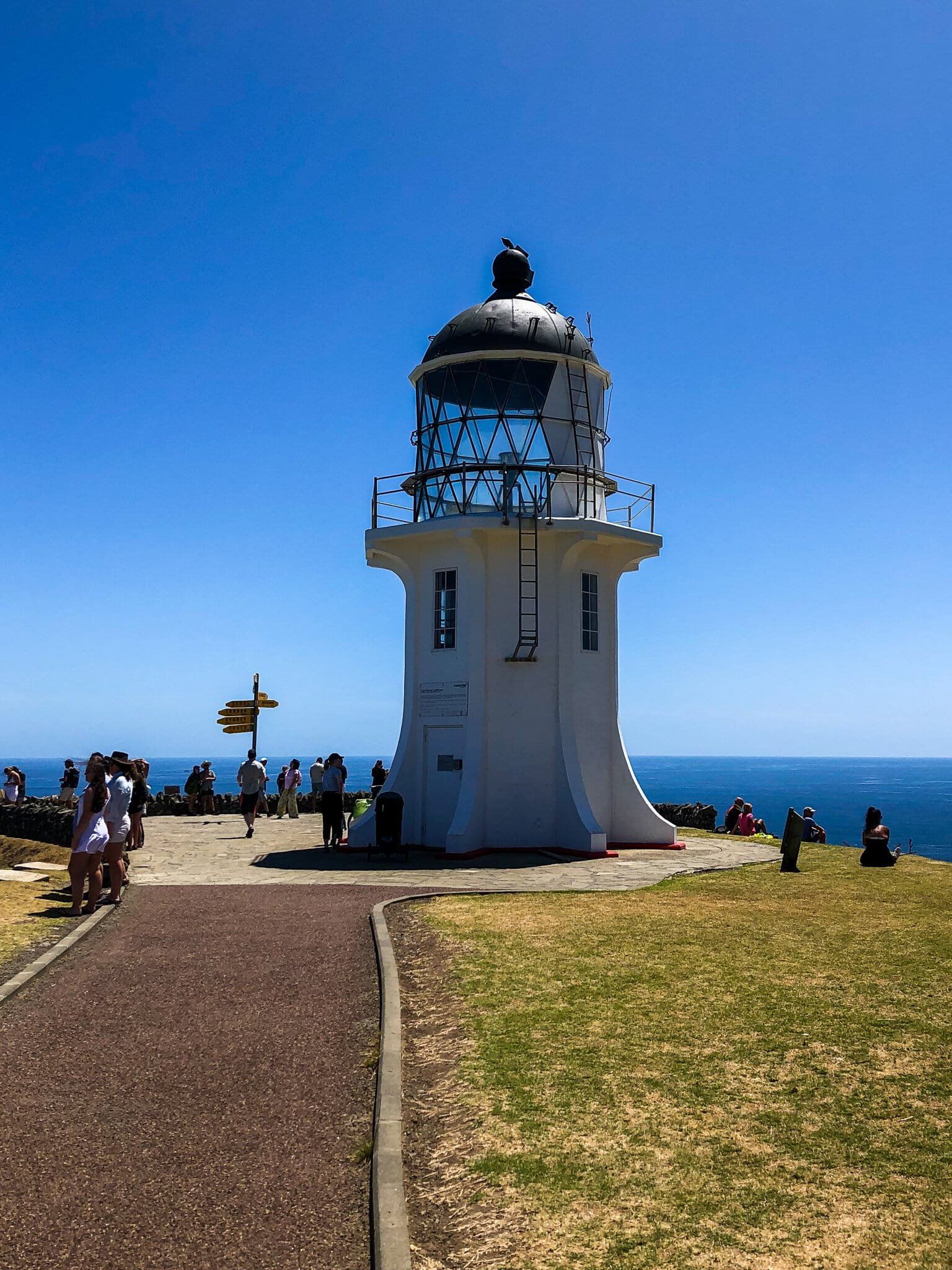
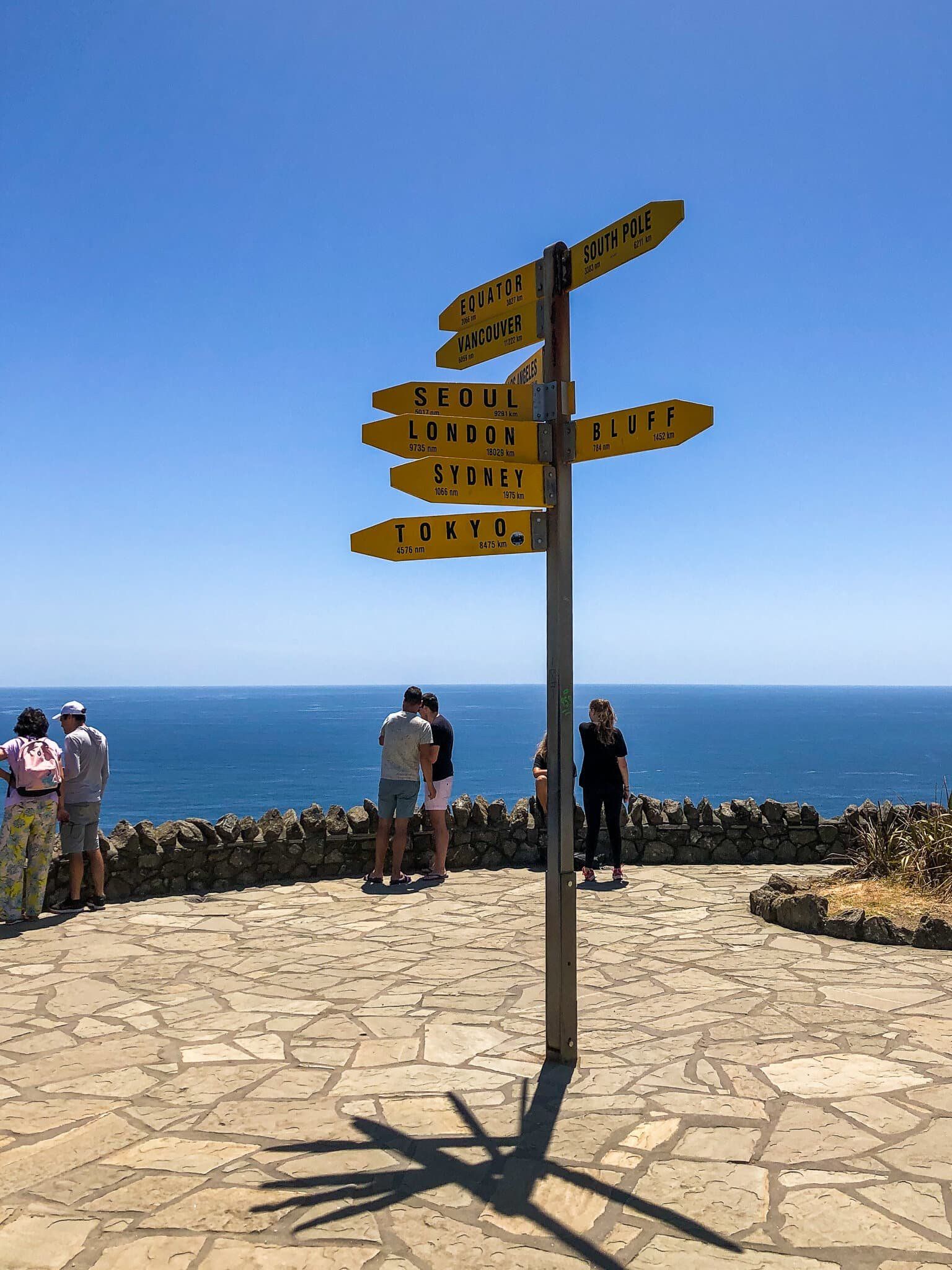
State Highway 1 terminates at Cape Reinga. It is a short distance from the carpark to the lighthouse for outstanding views. To the west is Cape Maria Van Dieman and Motuopao Island; to the east is Piwhane Spirits Bay and Hikurua de Serville Cliffs, the North Island’s most northern point.
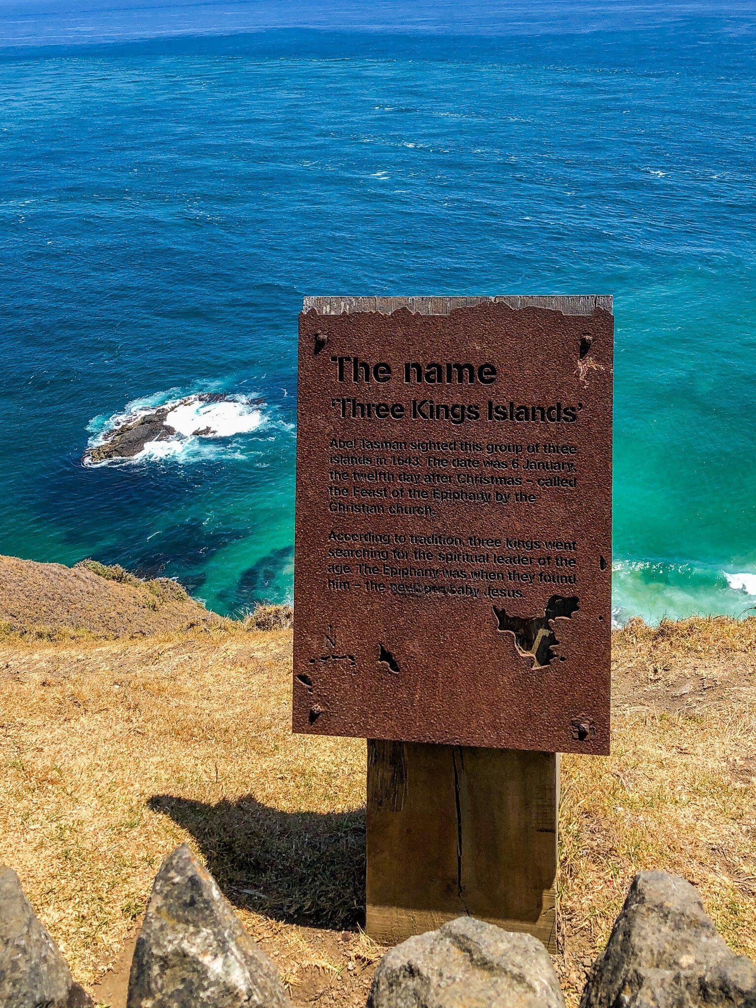
Offshore, you can clearly see where the Tasman Sea and the Pacific Ocean meet over the Columbia Bank. On a clear day you may also see the Three Kings Islands, about 60 kms to the northwest.
At the northernmost tip of the Cape is a reputedly 800 year old pōhutukawa tree. In Māori mythology, spirits leap from this tree into the ocean to return to their ancestral homeland of Hawaiki.
There are a couple of good coastal day walks to beaches in either direction from the Cape along the Te Paki Coastal Track. Te Araroa also starts here and heads south on the Te Paki Track to connect with 90 Mile Beach.
Want more North Island Trip Ideas?
Check out our blogs on Tāwharanui, SH1 North Island Road Trip, and Bay of Plenty Part 1.
