
Follow the North Shore Coast Walk (also a section of Te Araroa) around the coast from Devonport to Takapuna Beach, taking in several beaches, historic Maungauika North Head and Fort Takapuna. Māori called this peninsula Takapuna whereas modern day Takapuna refers to the suburb at its northwest end. Today, everyone refers to it as Devonport, for the pretty village and suburb at the southeast end that can be reached on a 15 minute ferry ride from downtown. Immediately behind Devonport is Takarunga Mt Victoria, one of the two remaining extinct volcano cones on the peninsula. The rocky foreshore between the beaches on the north side of the peninsula is walkable at low tide with spectacular cliffs and colourful rock formations in some places.
Alternatively start at Takapuna Beach with the goal of reaching the southeast end for sunset and dinner.
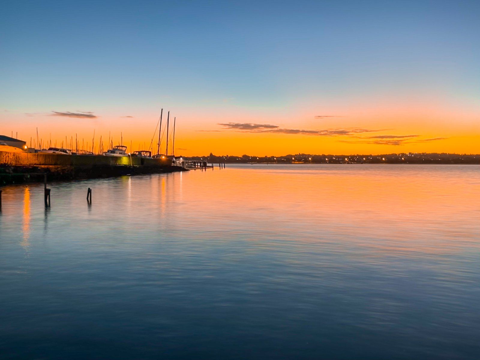
Ferry to Devonport
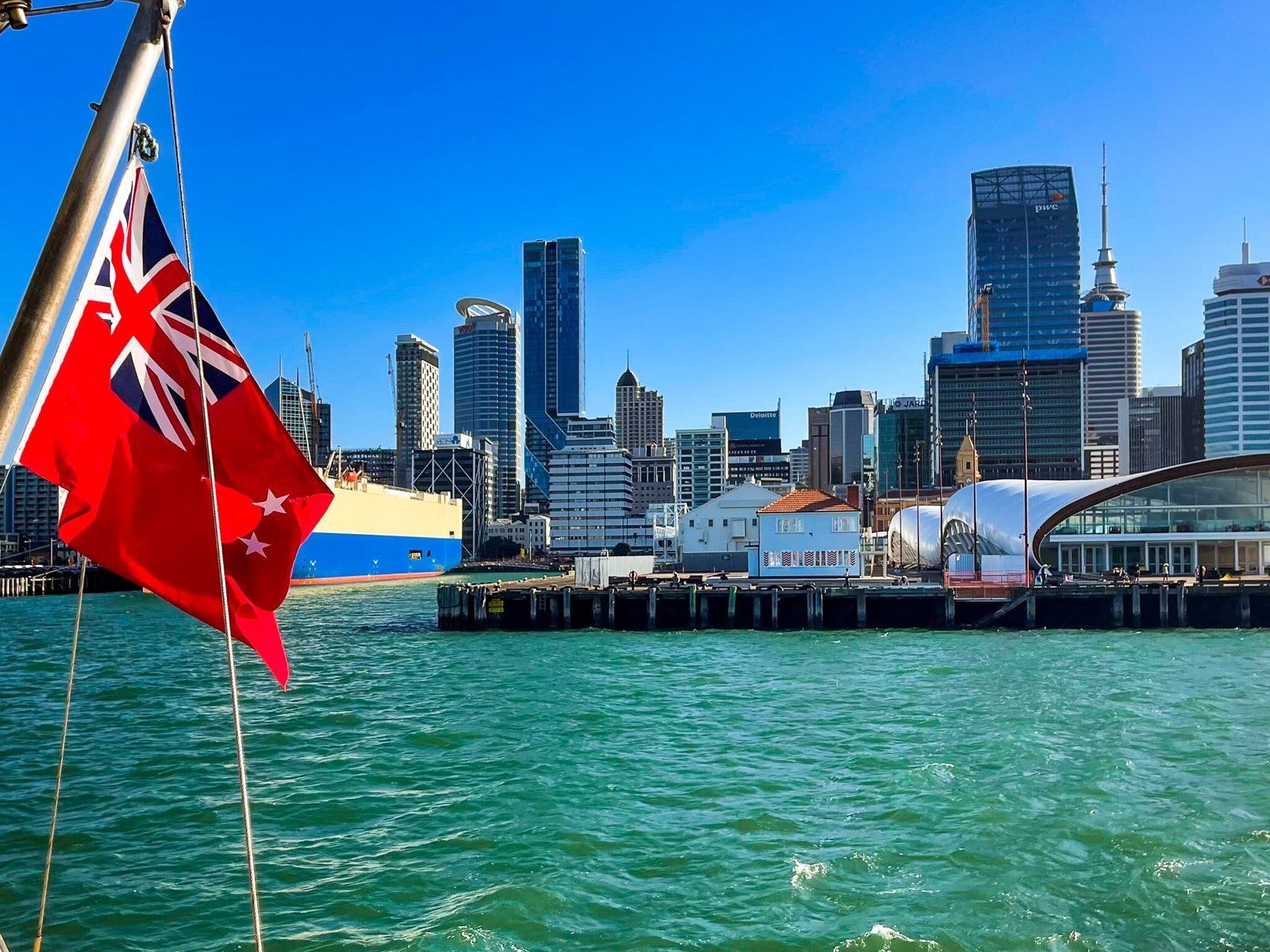
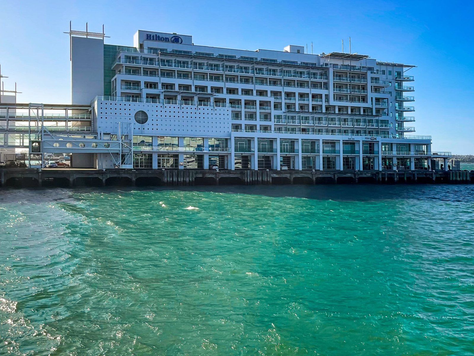
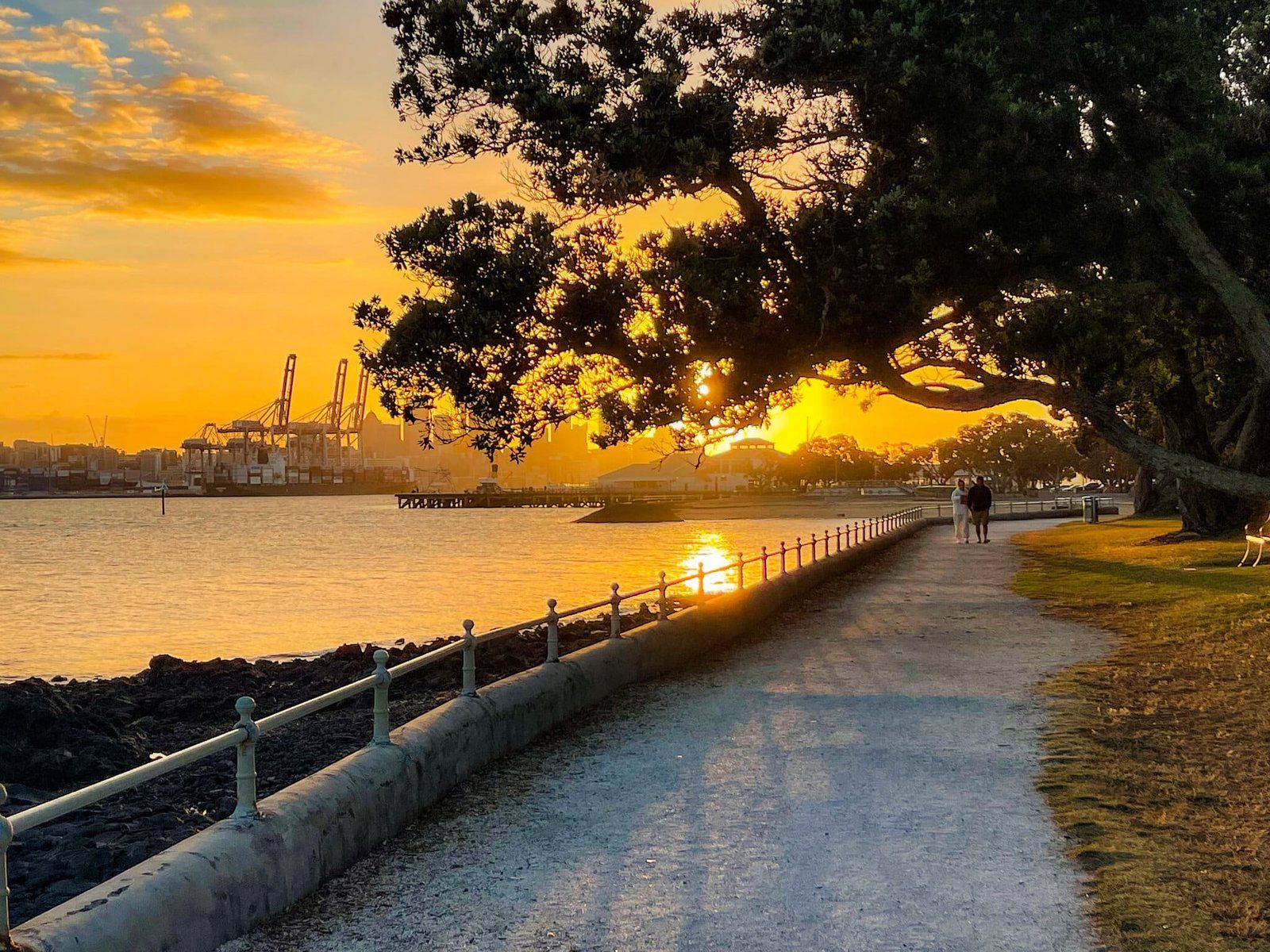
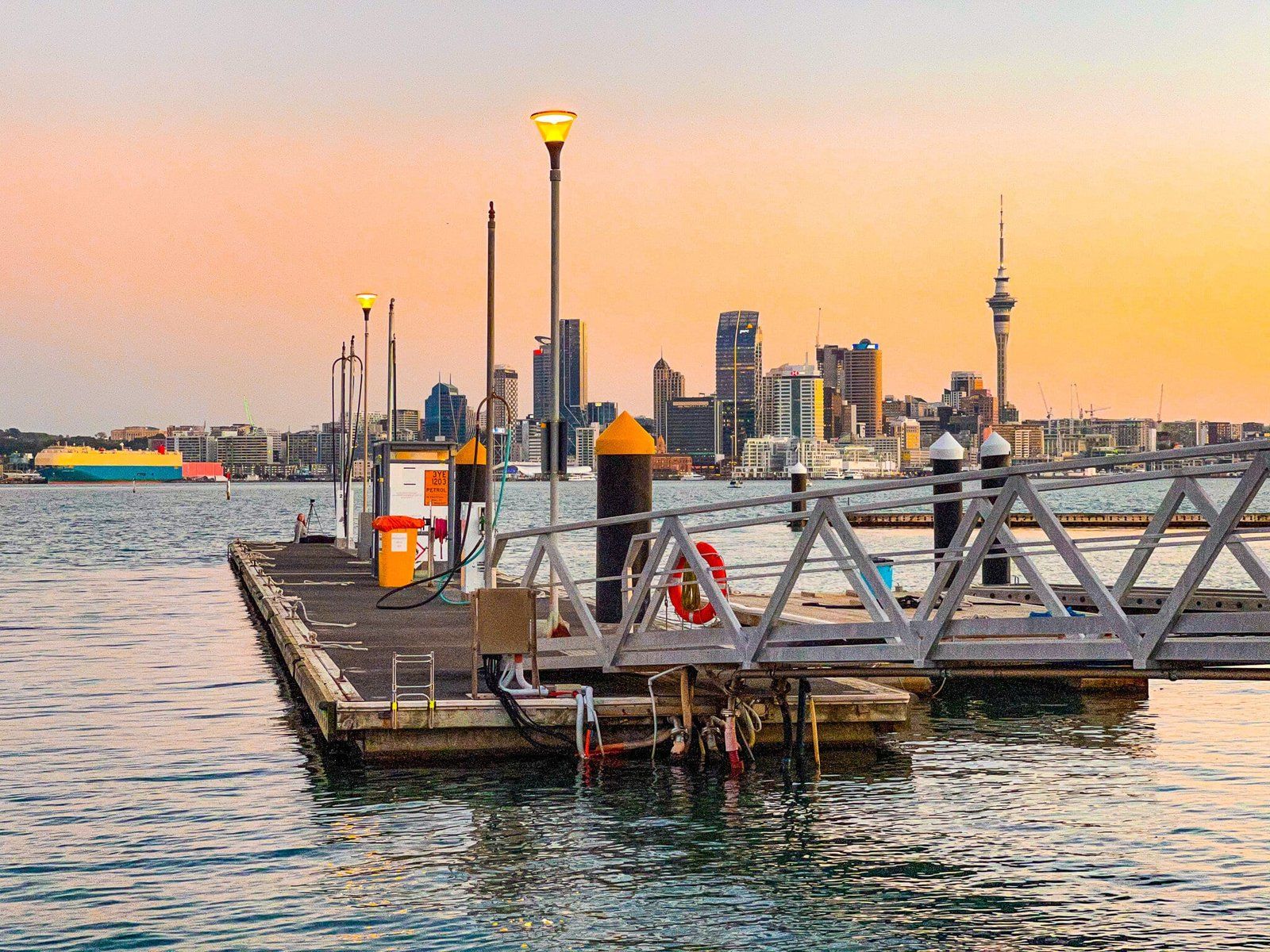
If you are starting from downtown, the ferry is by far the best way to get to Devonport. It runs every twenty minutes during peak times and half hourly off peak. It only takes about fifteen minutes, compared to driving which could easily take half an hour (the traffic can be as bad as it gets in Auckland). There is also the alternate option of the Bayswater ferry.
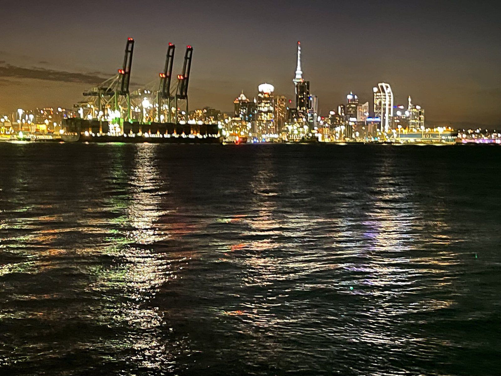
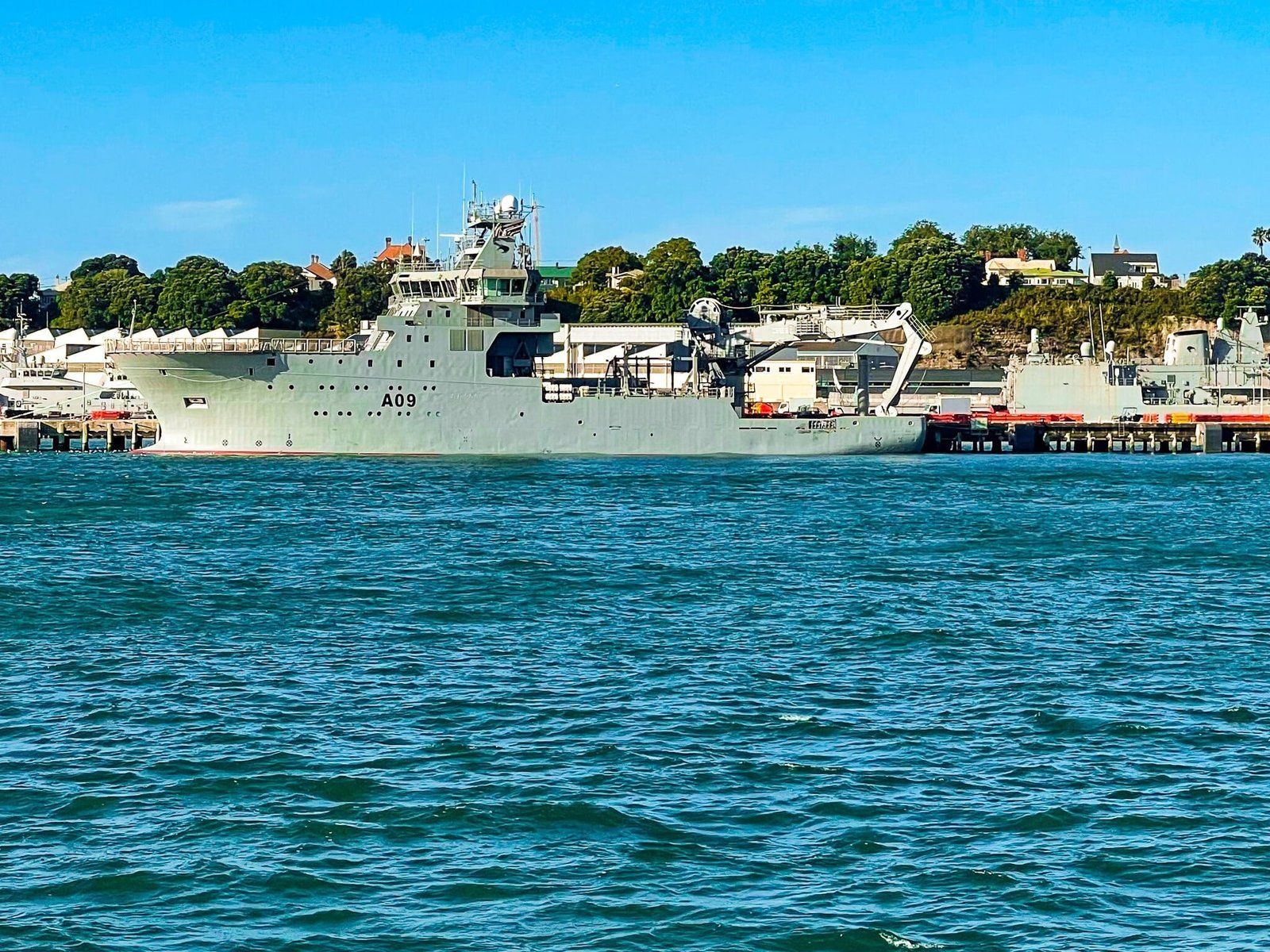
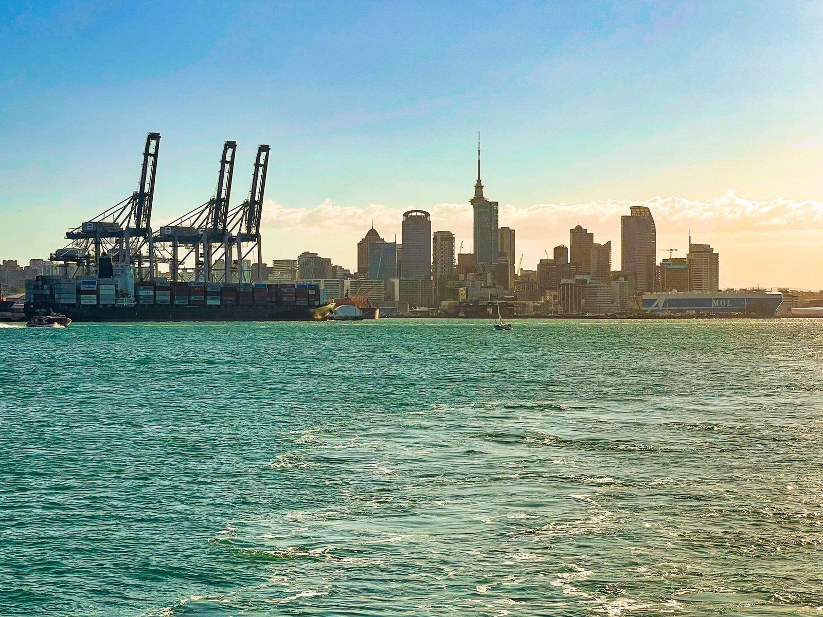
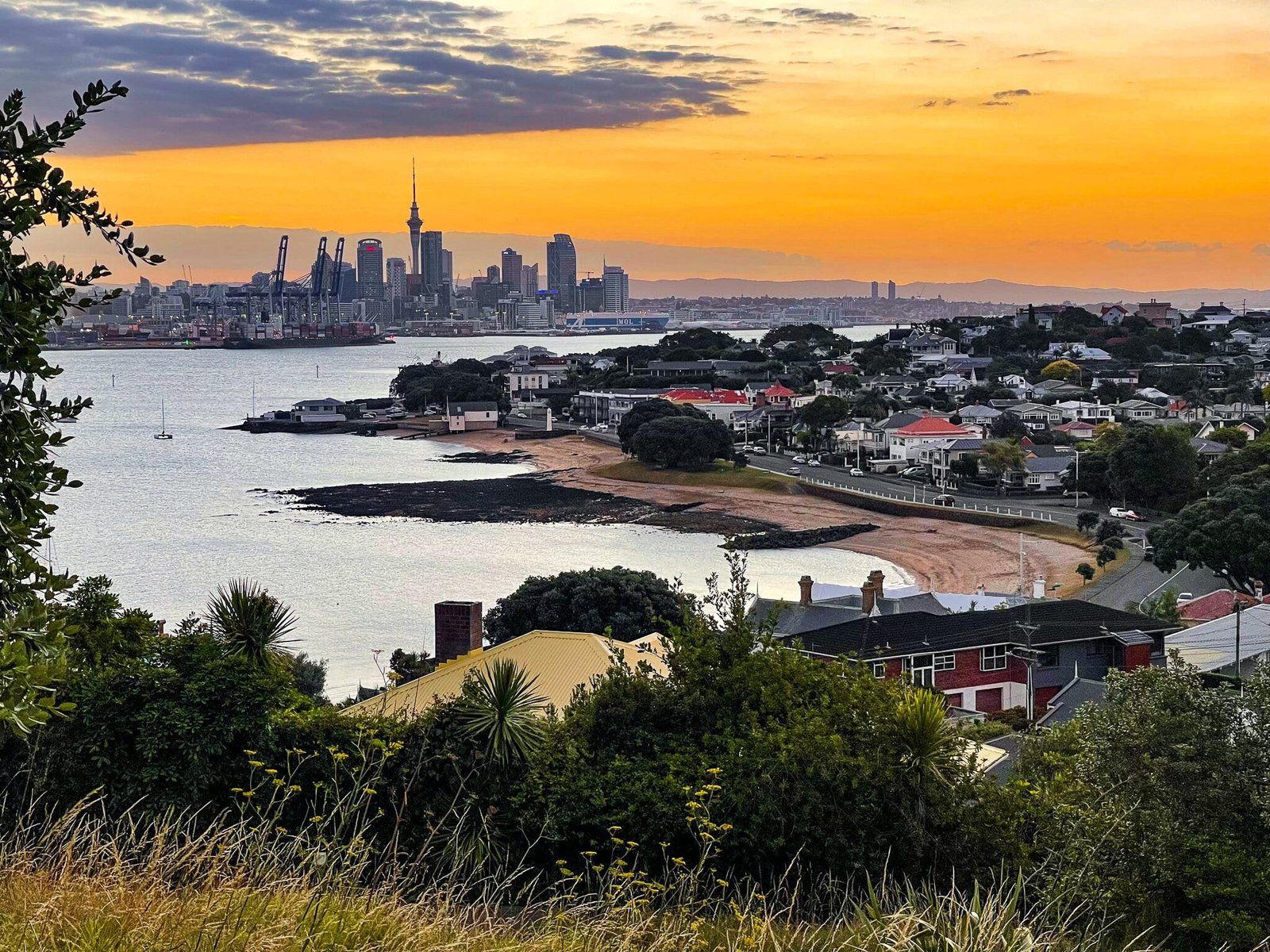
You get nice views of the city and waterfront from the ferry, including at night. You also get to go past the NZ navy facility to the west of the Devonport ferry terminal, so you will probably see one or two (modest) naval ships.
You do need an Auckland Transport Hop card to use the ferry, and, bizarrely, you can’t get one at the terminal. So come prepared!
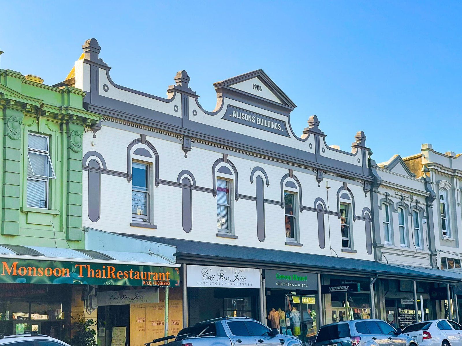
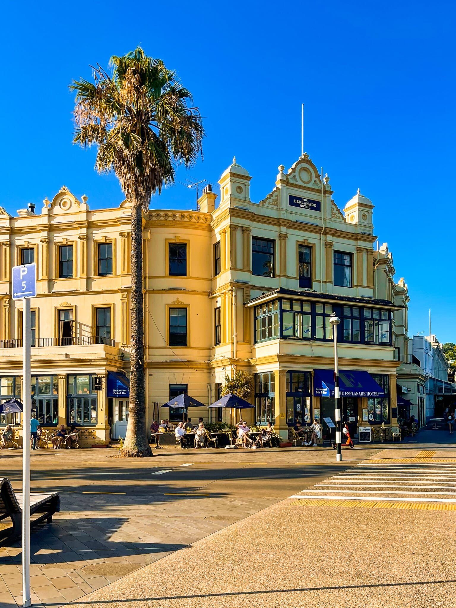
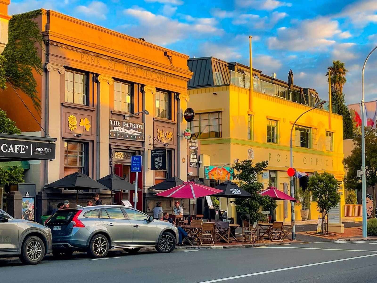
Devonport
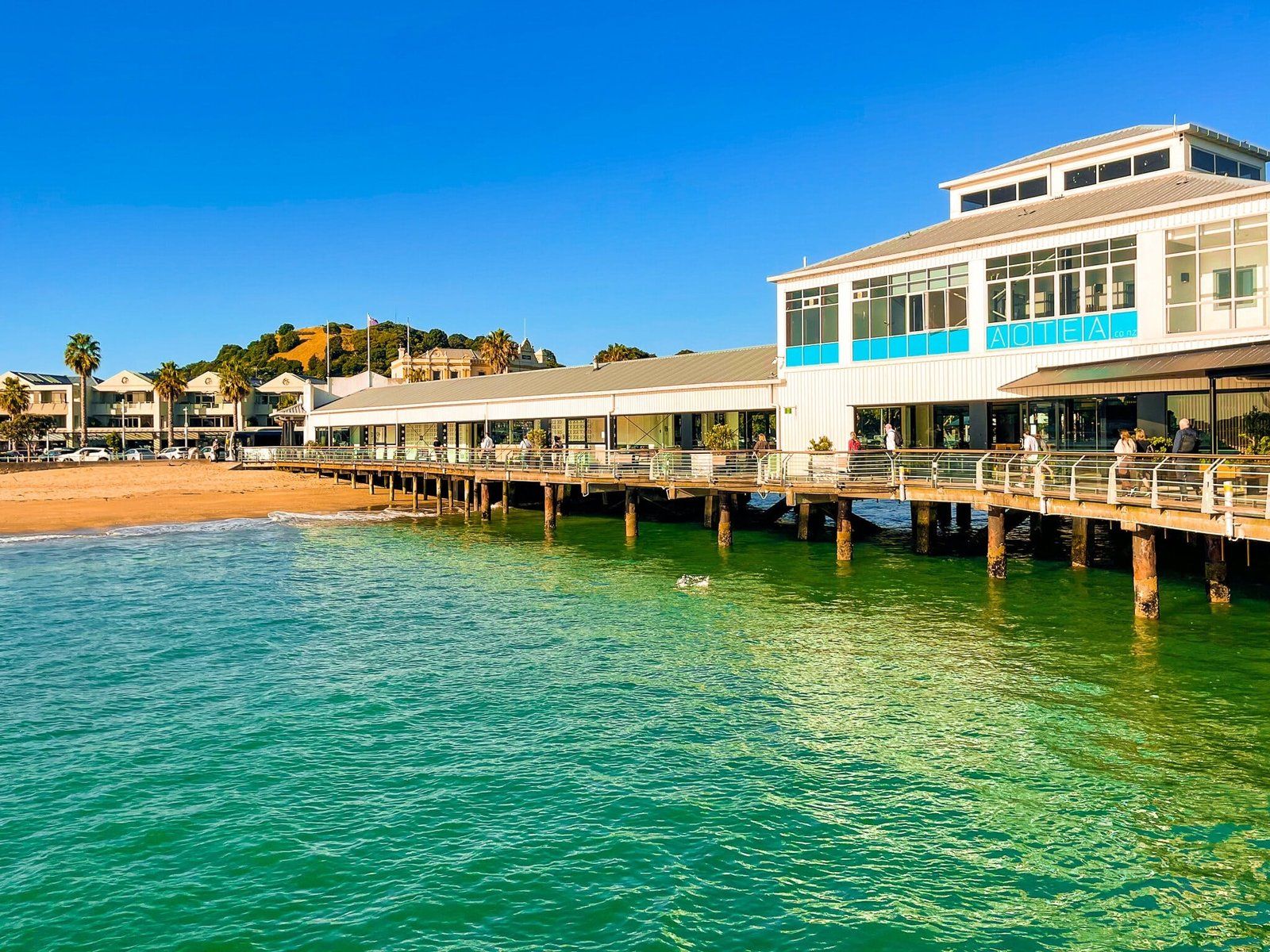
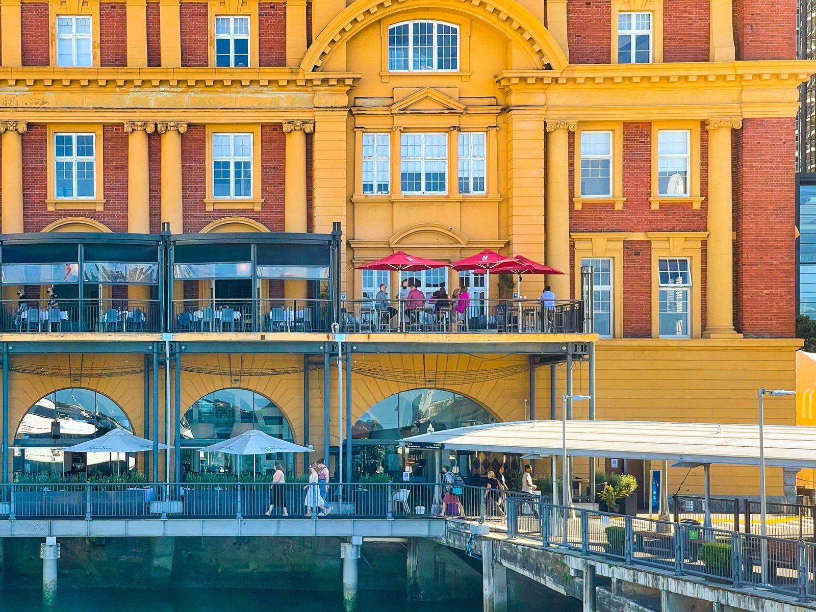
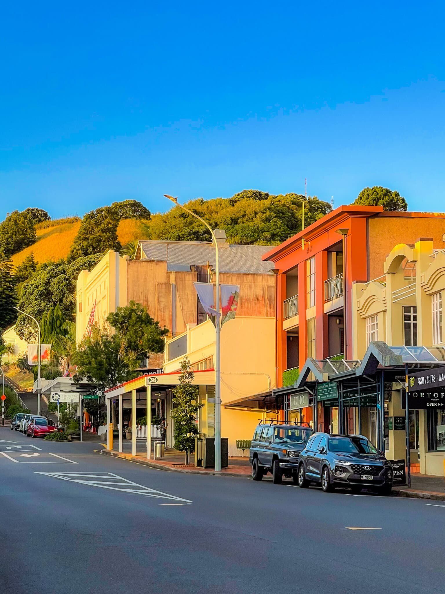
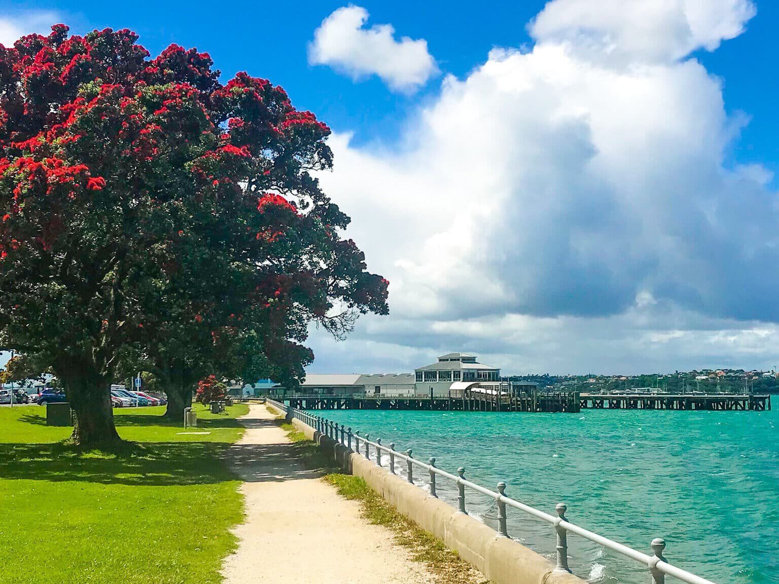
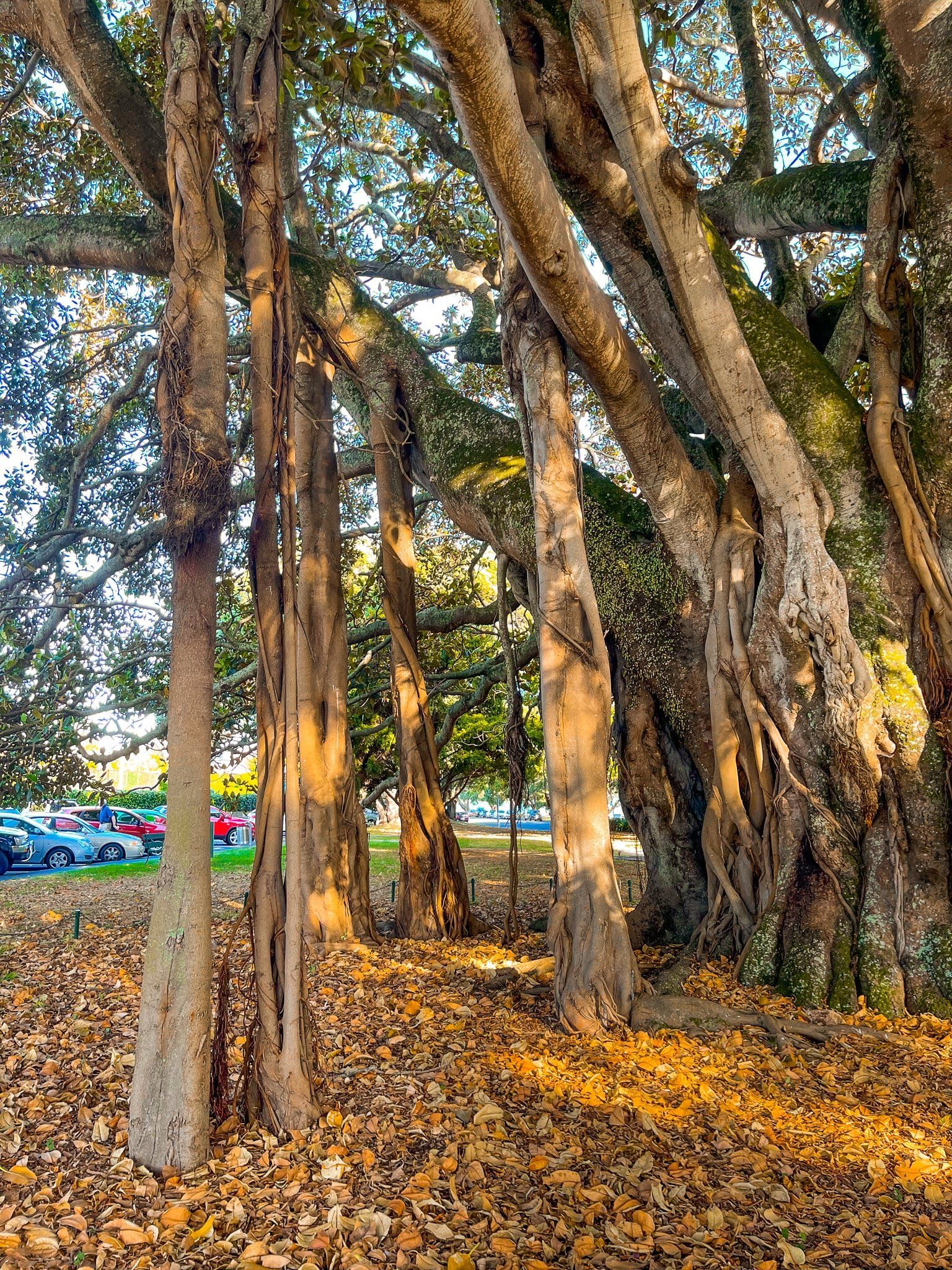
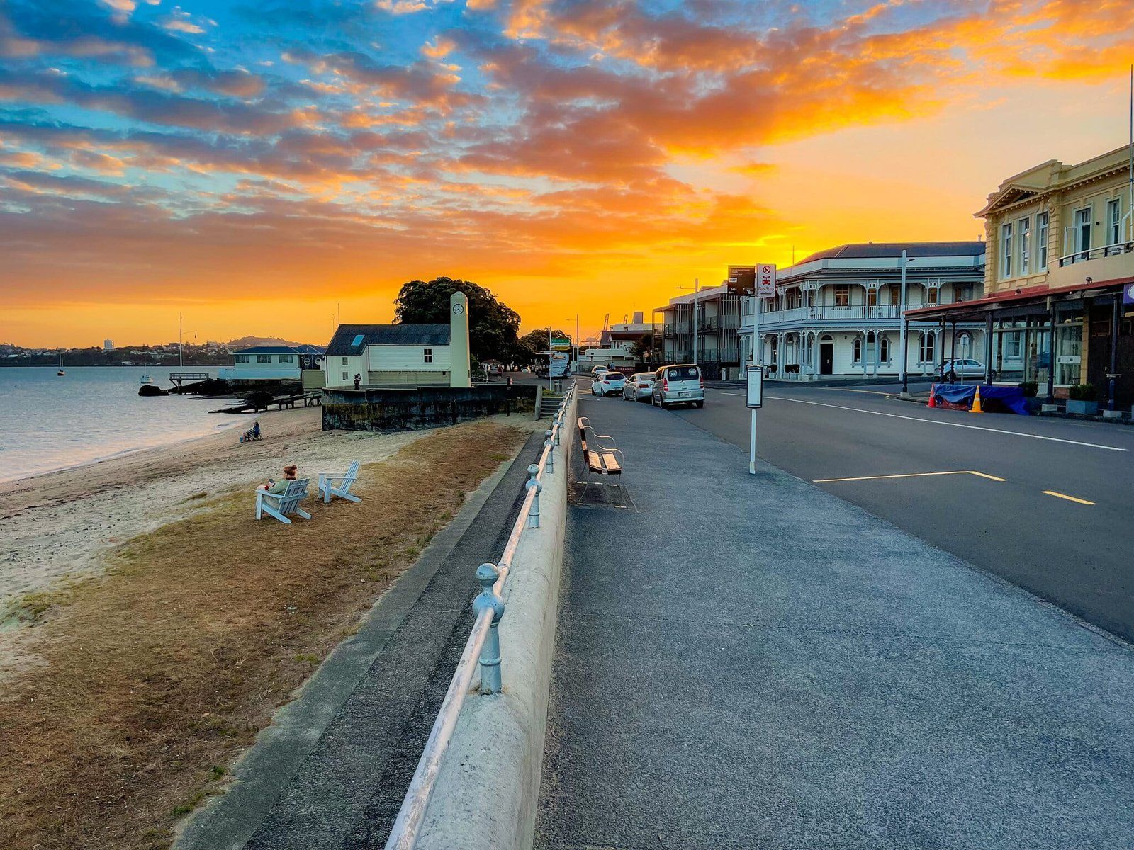
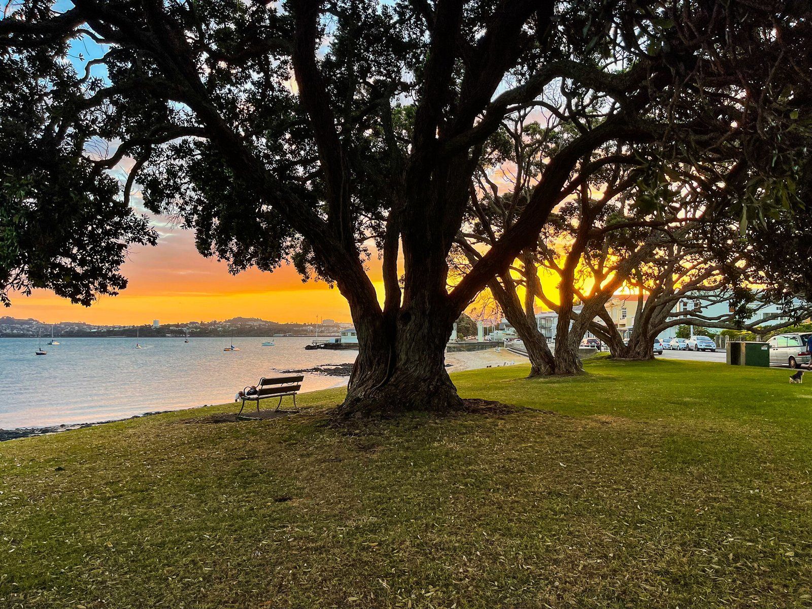
The Devonport ferry terminal is at the south end of Devonport village. There are coastal promenades and small beaches on either side of the terminal, but the immediate attraction is the village. Devonport is one of the older Auckland suburbs and has retained much of its early Victorian and Edwardian character. In addition it has one of the largest Moreton Bay fig trees you will see in Auckland, in the park on the right just before you get to the shops.
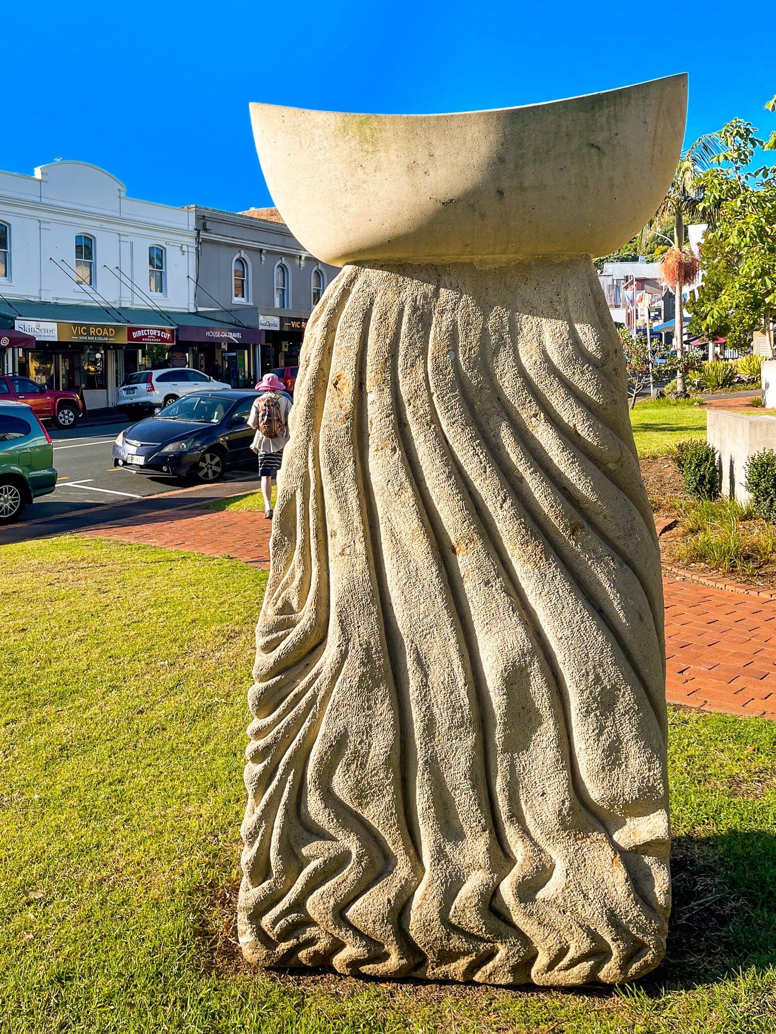
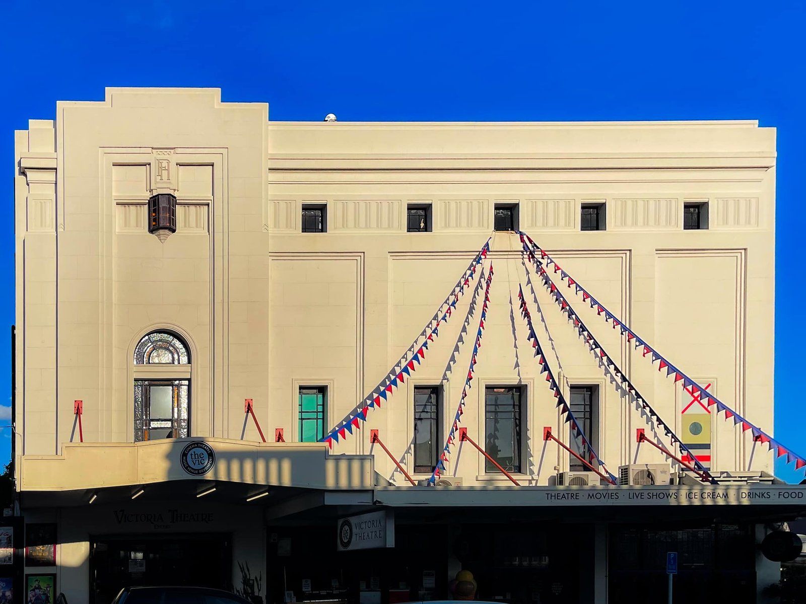
The village has a range of cafes, restaurants and other shops and an art deco era cinema, as well as a war memorial and a couple of outdoor sculptures. It is the perfect place to start and end your visit to the peninsula.
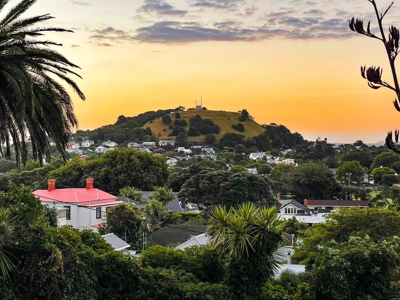
Takarunga Mt Victoria
Takarunga Mt Victoria is one of the many extinct volcanoes around the Auckland isthmus. It is immediately up the main road to the north of the village and it takes about 20 minutes to walk from the terminal to the top. In walking up, follow the track to the left from the entrance that winds around the mountain to the top. Then come back down via the road past the historic Victorian house which is used to support an artist in residence programme.
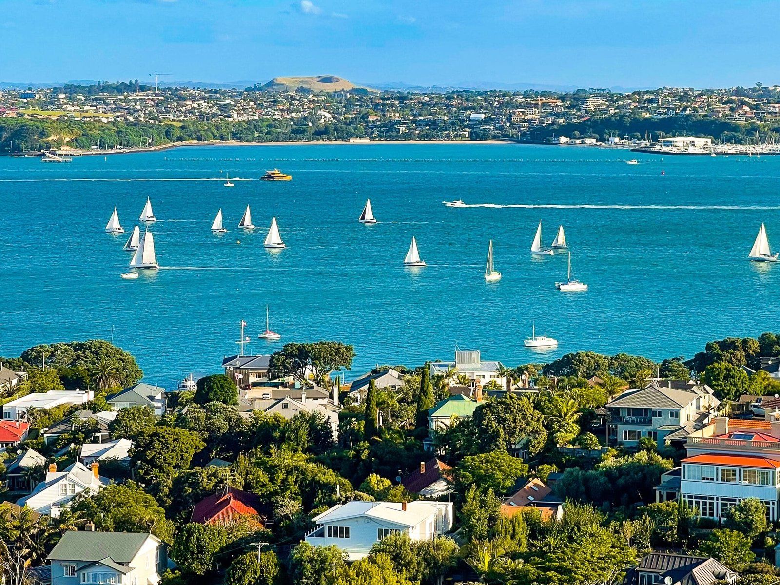
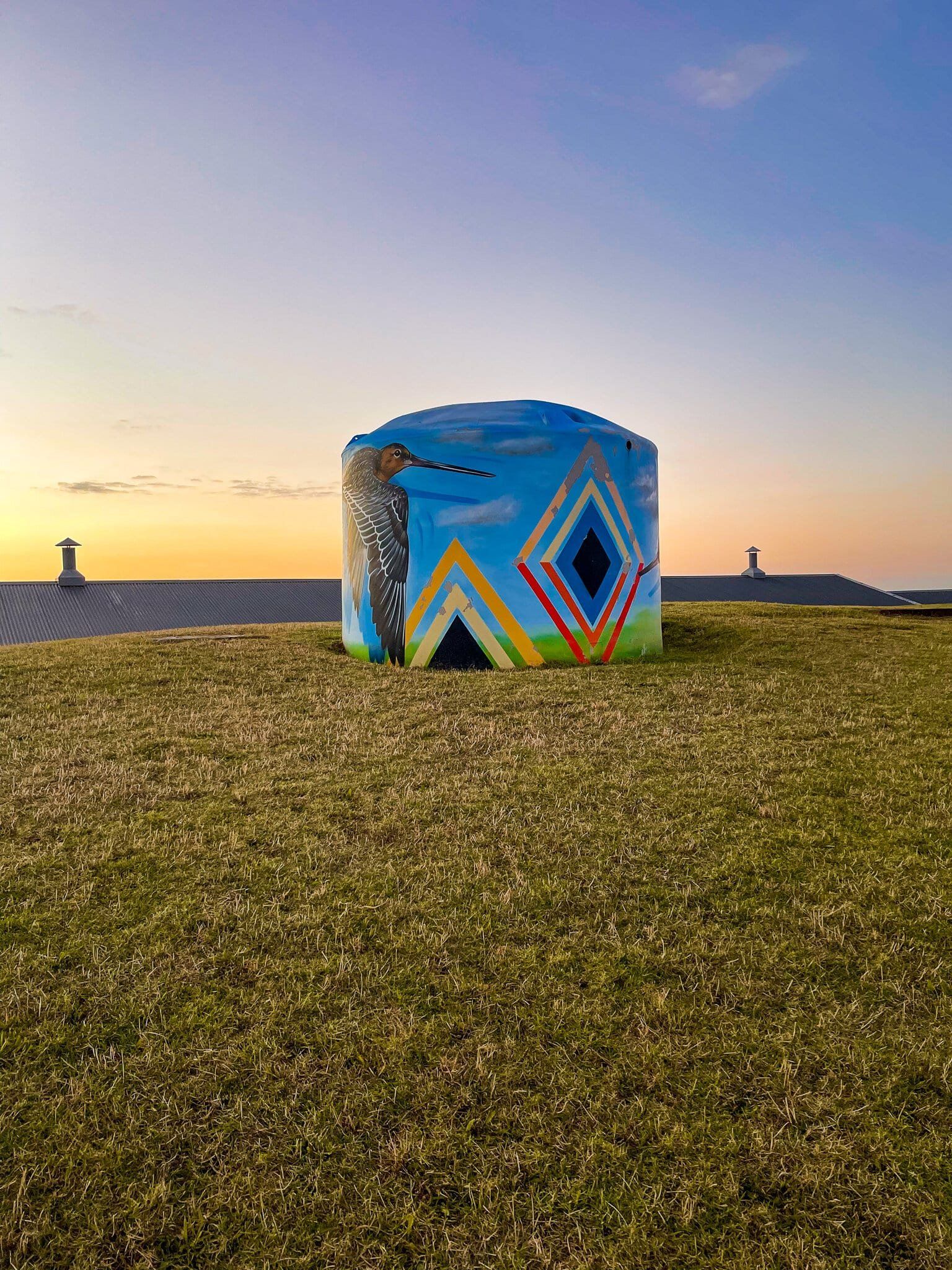
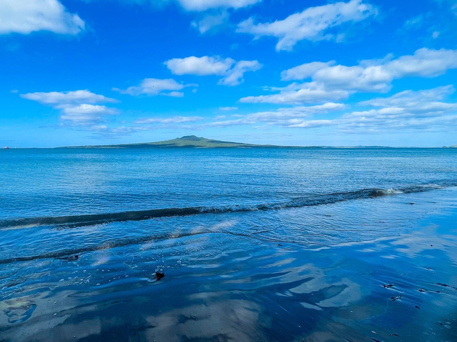
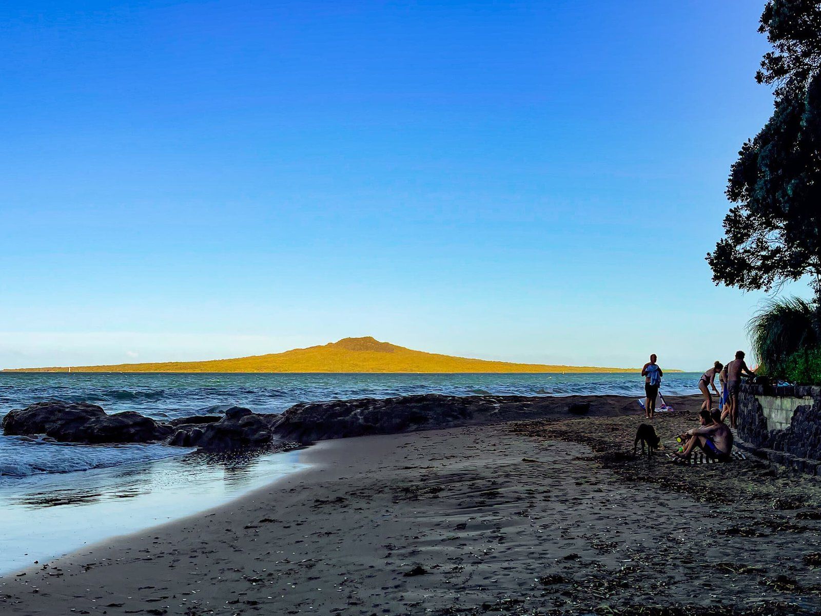
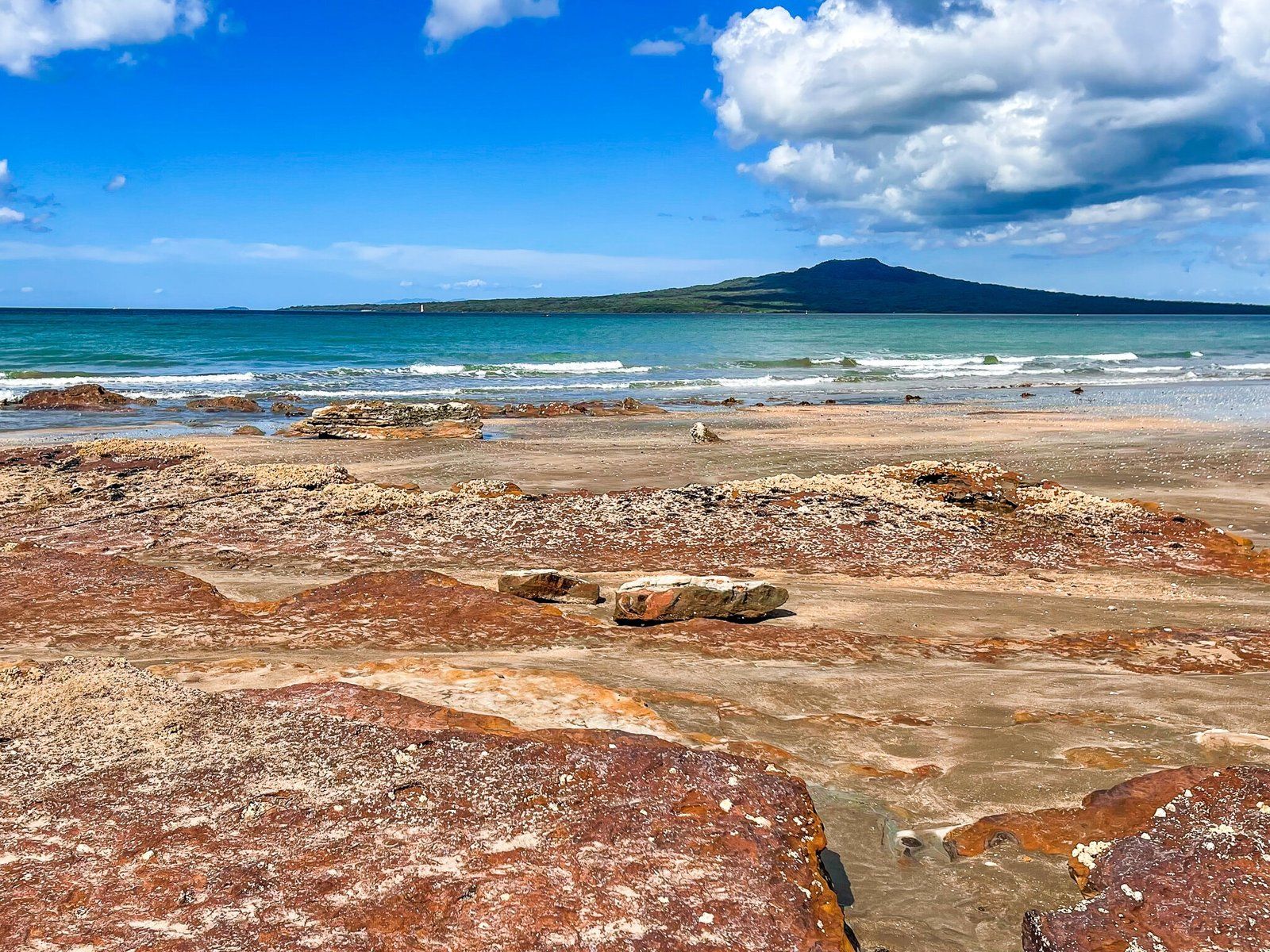
The views from Mt Victoria are superb – south to downtown and Mt Eden, north to Rangitoto and the Hauraki Gulf and west to Waiheke Island and the Coromandel. It was also the site of a pa and you will see signs of pre-european habitation, including pits and terraces on the north side of the mountain. With the development of Devonport, the crater was destroyed by the addition of a water storage facility – the now prettily painted mushrooms on the top of the mountain are air vents for the pumps.
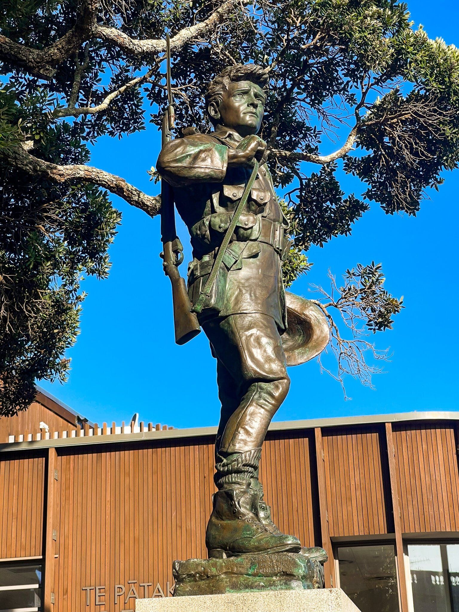
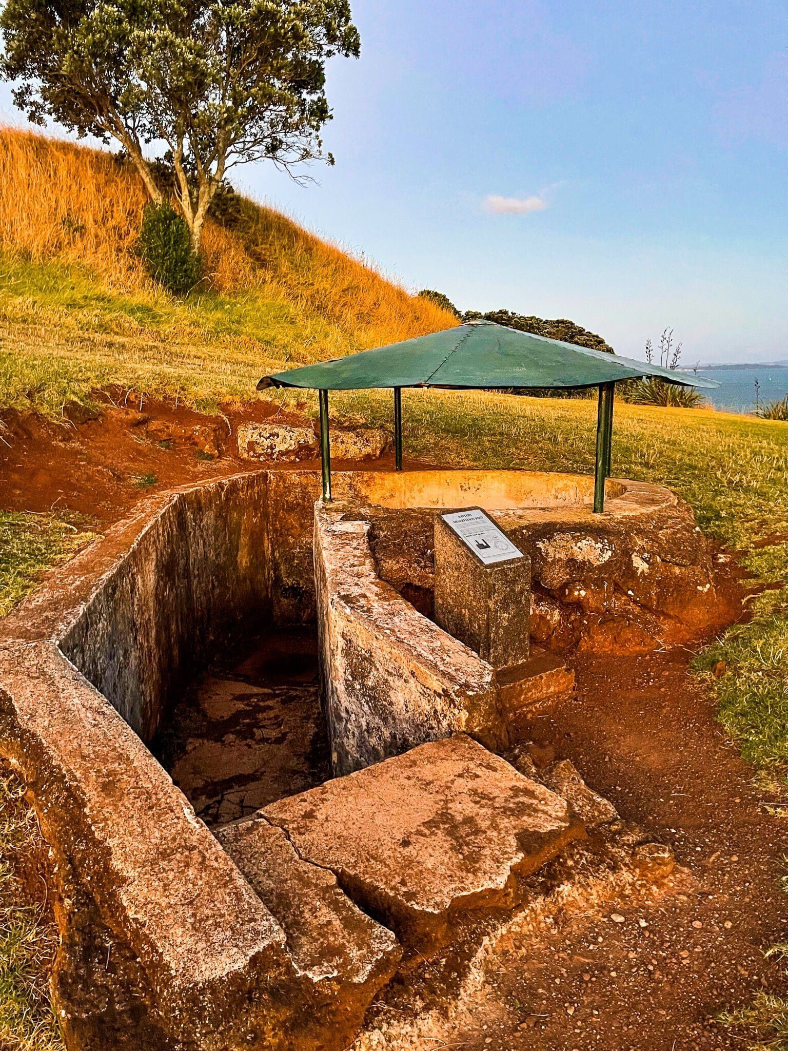
But it’s the military history that is the biggest surprise for a modern day visitor. The mountain was a component of the harbour defences that were developed in the late 1800s (the “Russian scare”). There is a restored disappearing gun position as well as several other signs of past military use.


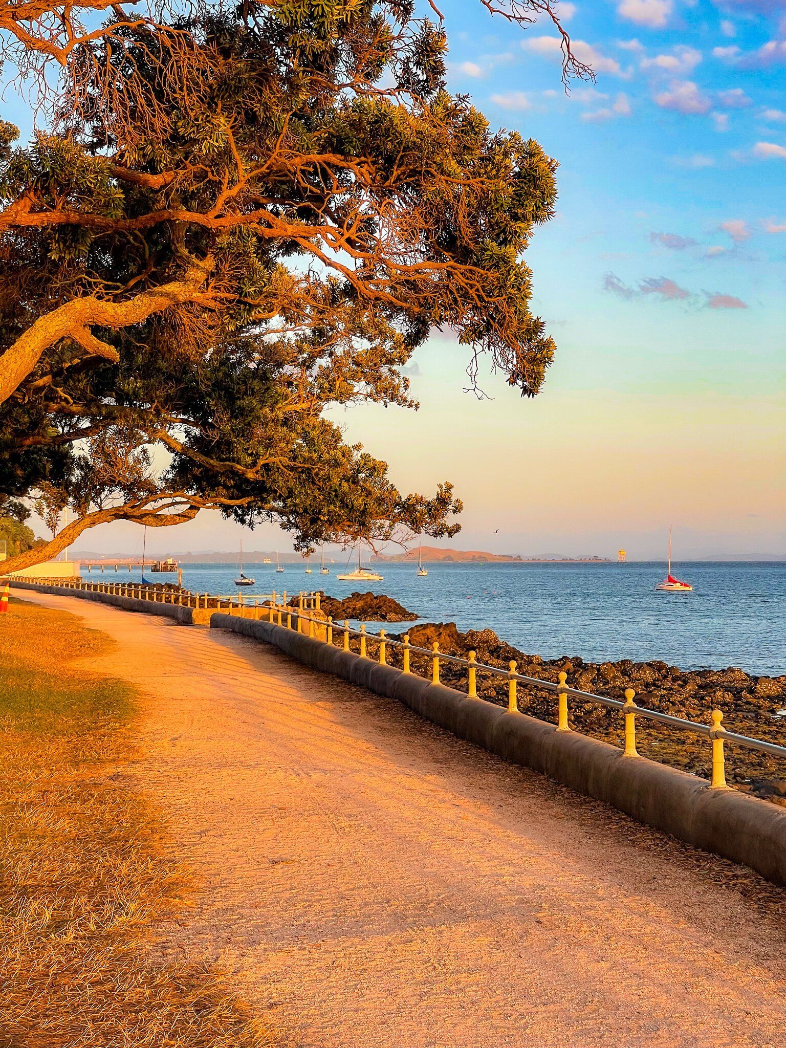
Torpedo Bay
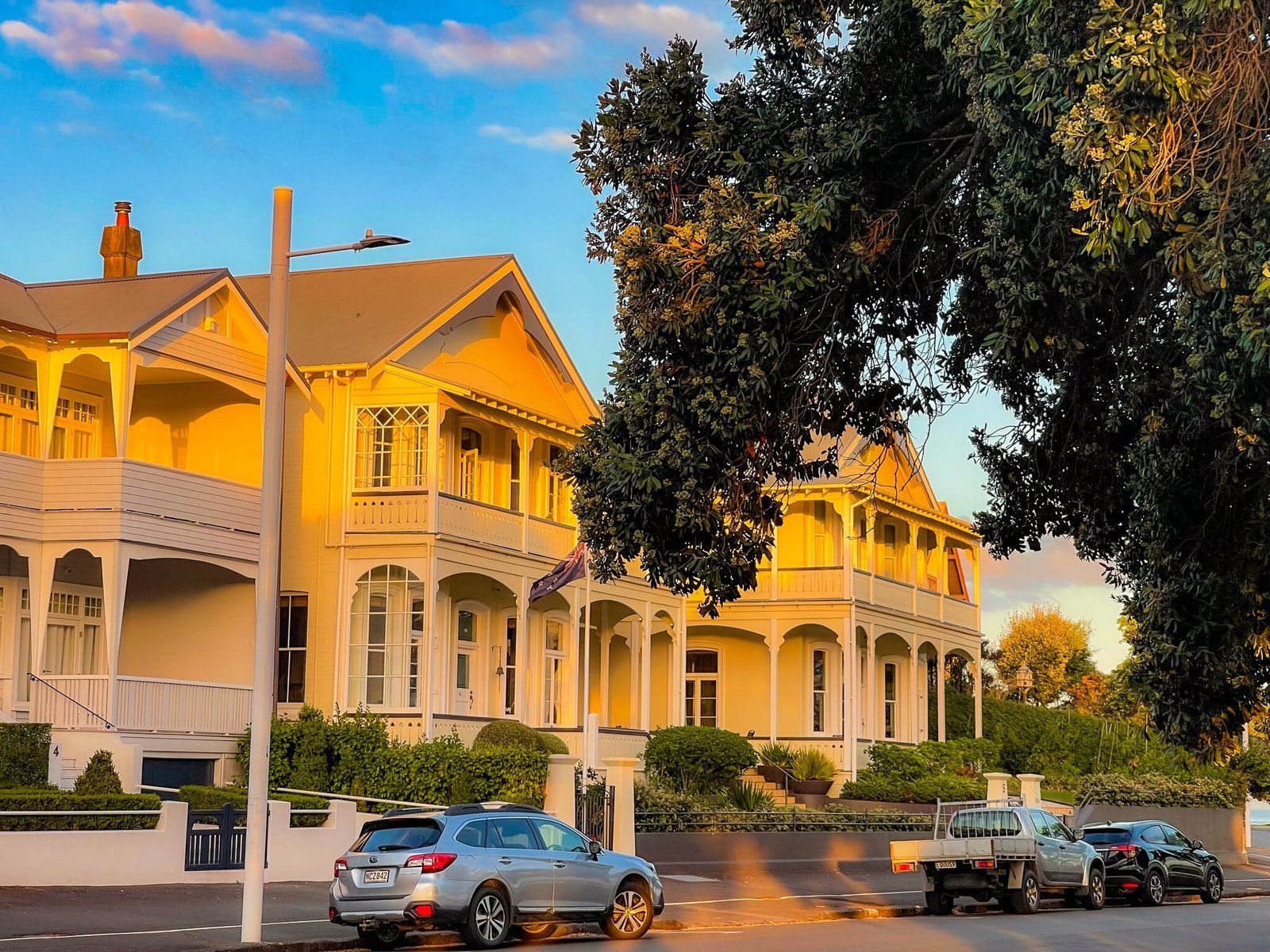
From Devonport, walk east around the coast promenade to Torpedo Bay. On the left are some of the prettiest Victorian houses and buildings in the city. On the right, there are a couple of nice inner city beaches separated by small rocky points. To the east is Maungauika North Head, the second of the volcano cones on the peninsula.
About half way along, there is also a monument to the arrival of the Tainui waka (canoe) in the area, which the Māori occupants named Takapuna. The monument was built in 1959 as a collaboration between the local council and Kīngitanga. The small bronze Korotangi (weeping dove) on the top of the monument commemorates the stone weeping dove that traveled with the waka from Hawaiki over 800 year ago.
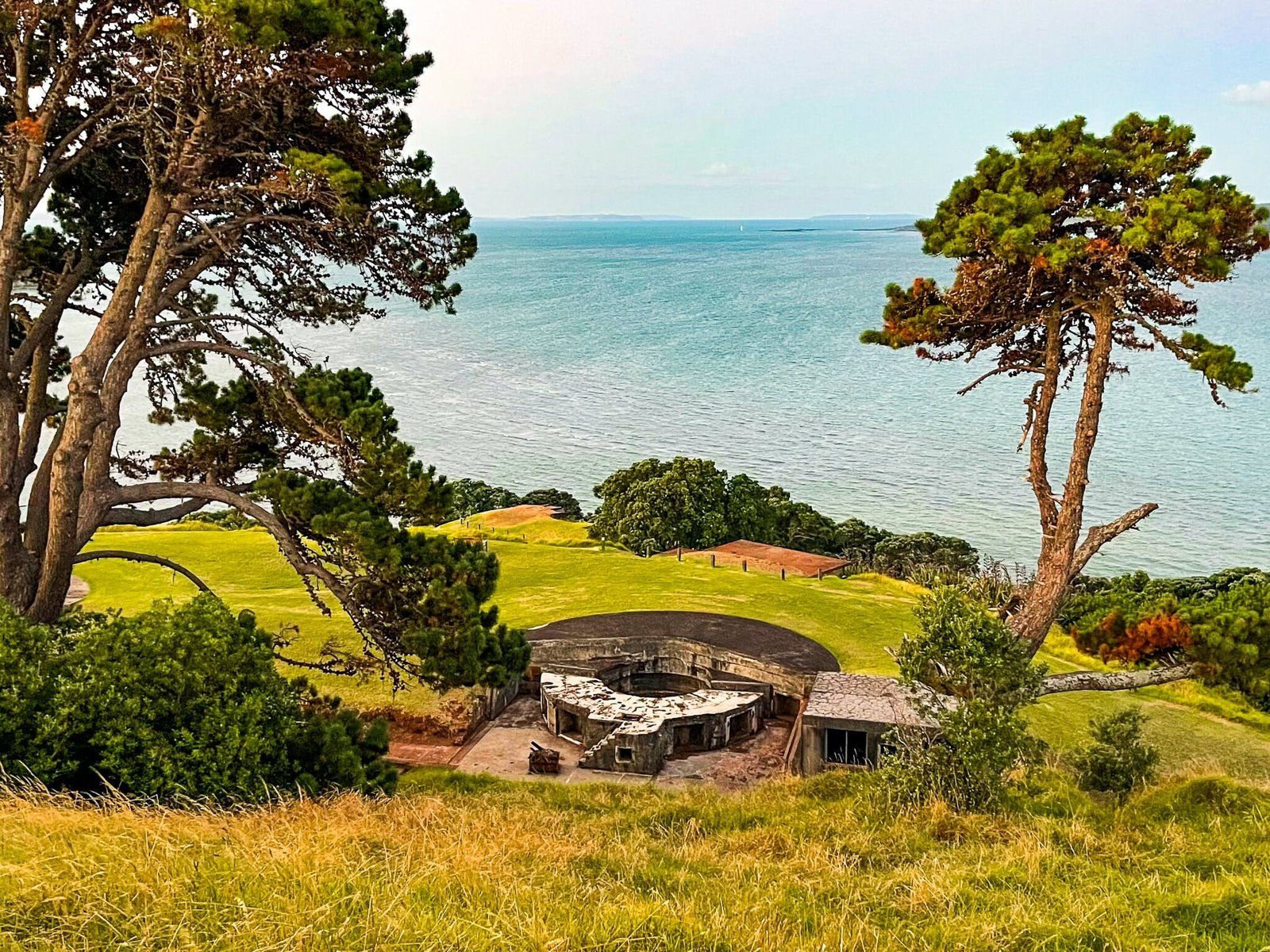
Maungauika North Head
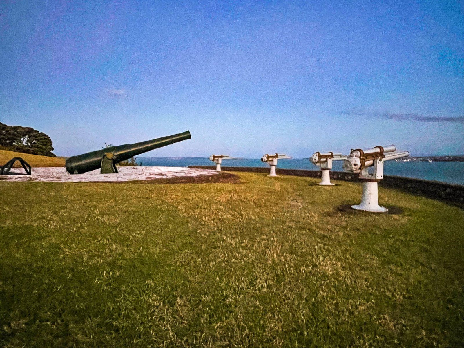
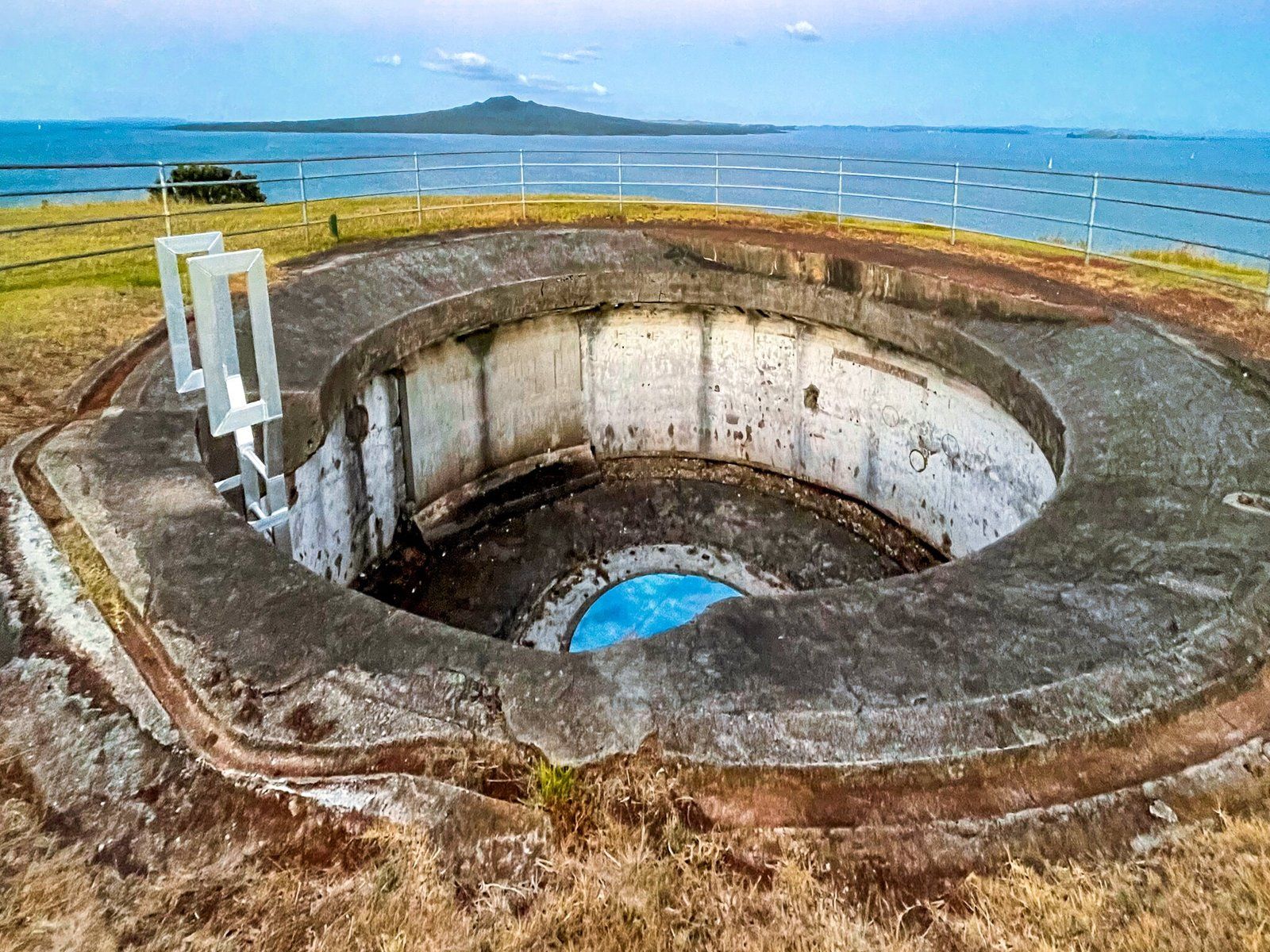
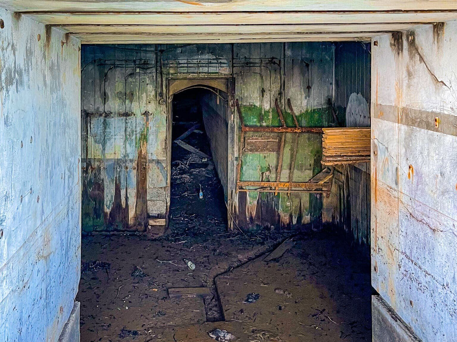
Takarunga Mt Victoria provides a basic introduction to the military history of the peninsula, but it is the extinct volcano of Maungauika North Head that really tells the story. This was a major military facility from the 1890s to WW2. There are multiple gun emplacements around the headland from across the period, including a photogenic arrangement of restored older guns facing across the Waitemata Harbour towards the city.
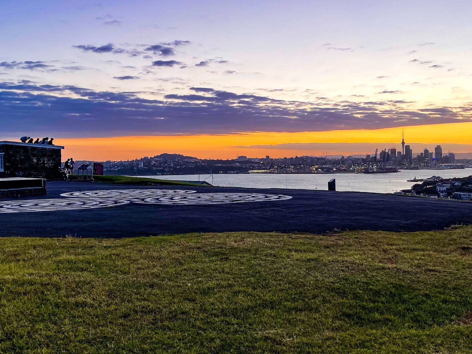
In addition, there are extensive barracks, lookouts, an old underground engine room area and accessible old military tunnels. Plus it has the best views back to downtown at sunset and across to Rangitoto and towards Waiheke and the Coromandel. From the north side of the top, there is also a fabulous view to the west down Cheltenham Beach.
Although the more accessible Maungawhau Mt Eden will always be our number one go to viewpoint for Auckland, Maungauika North Head does have the extra advantage of prime water position and historical features.
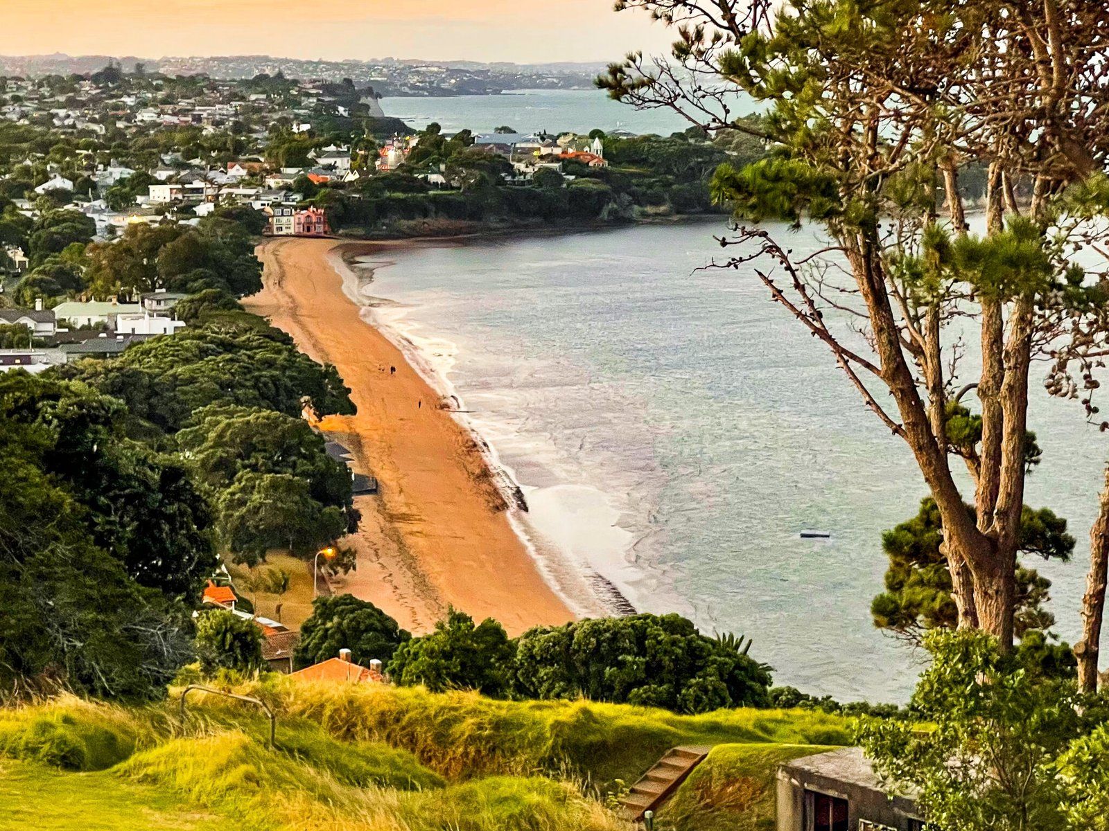
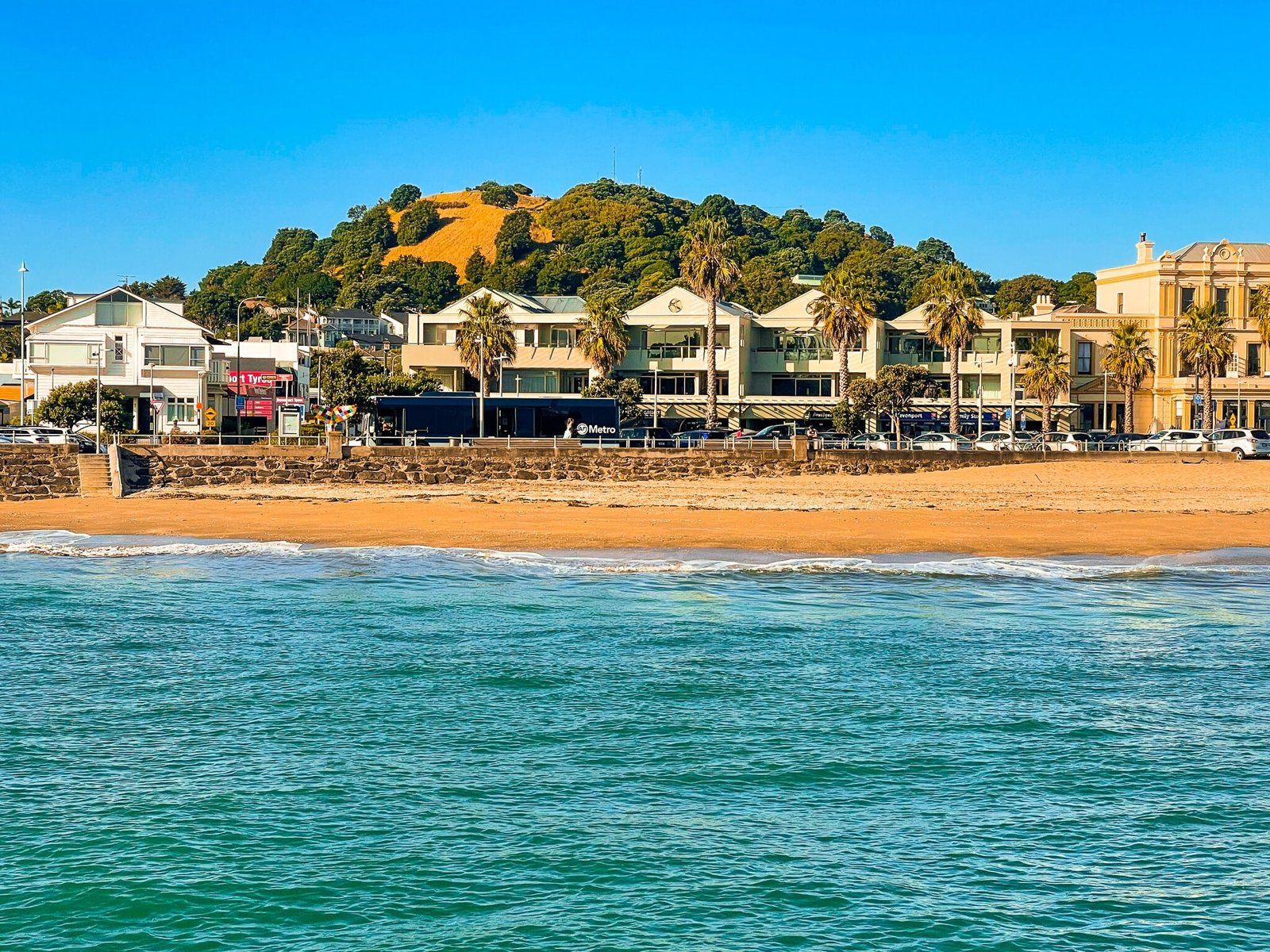
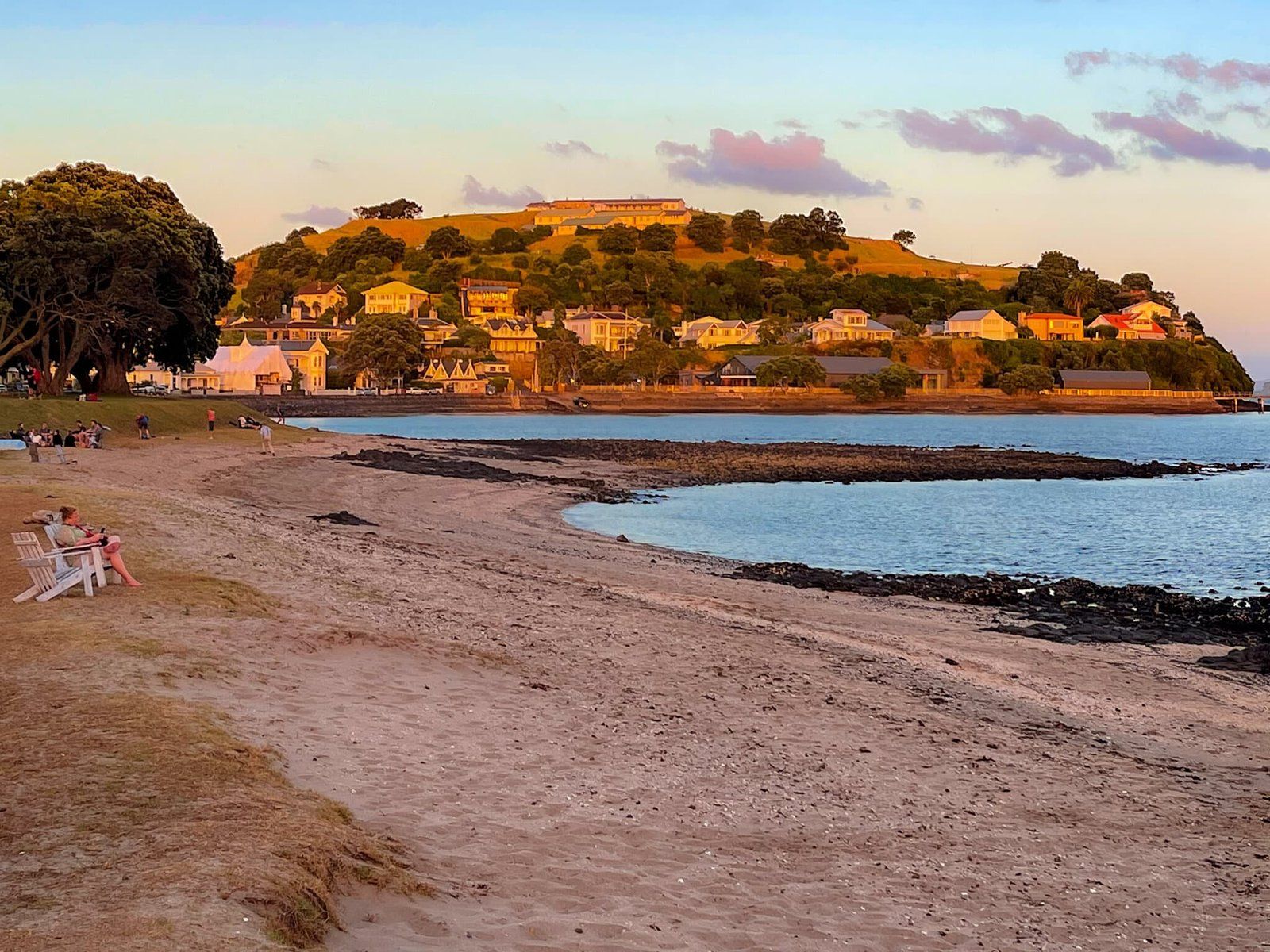
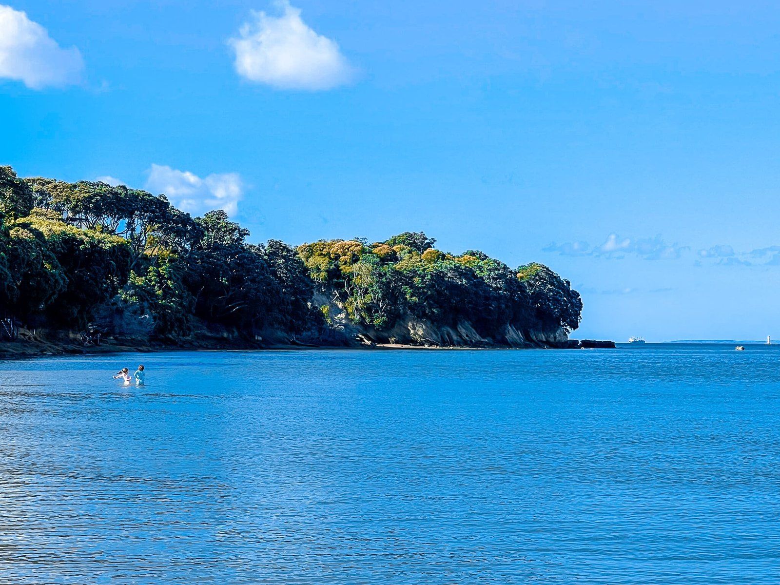
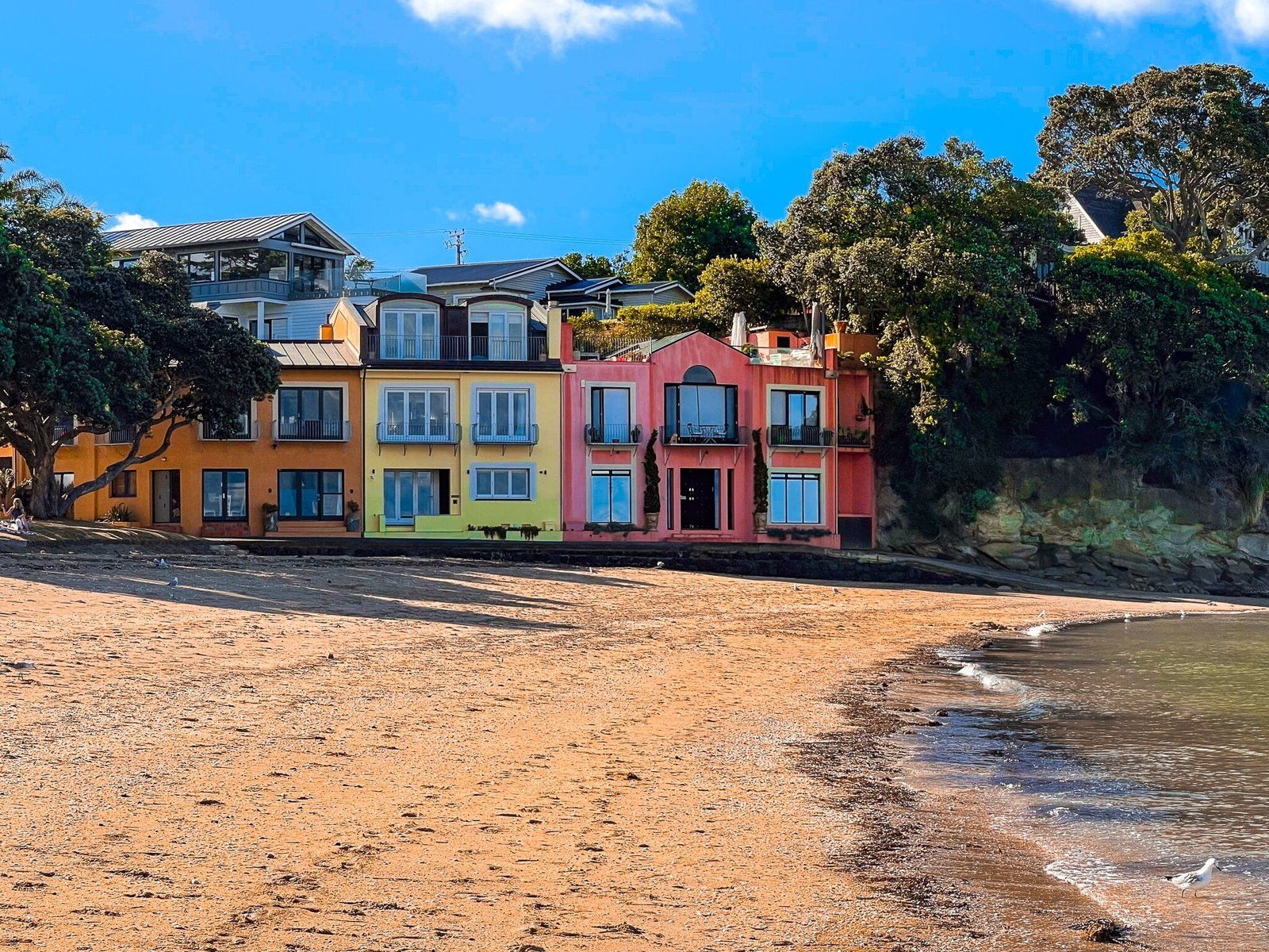
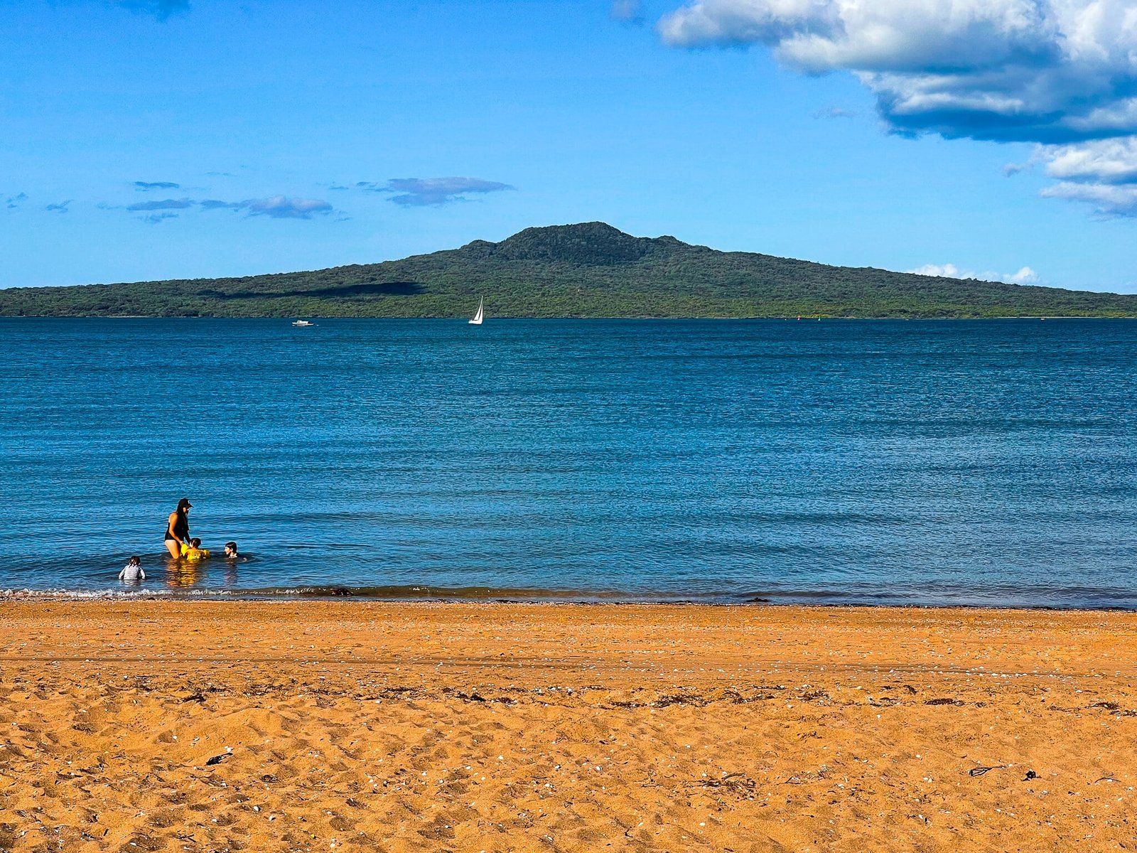
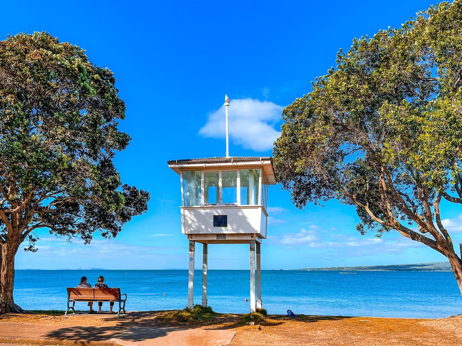
Cheltenham Beach
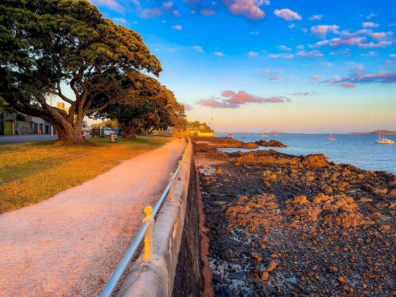
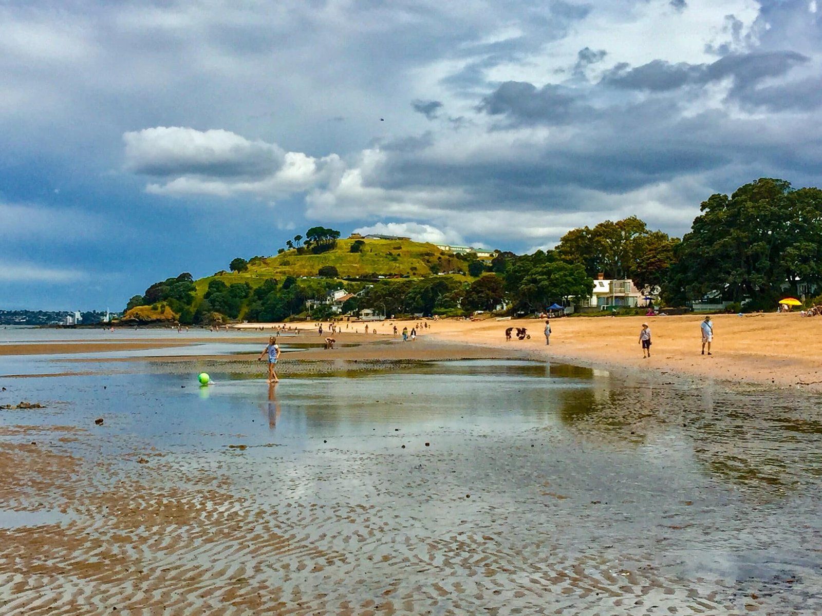
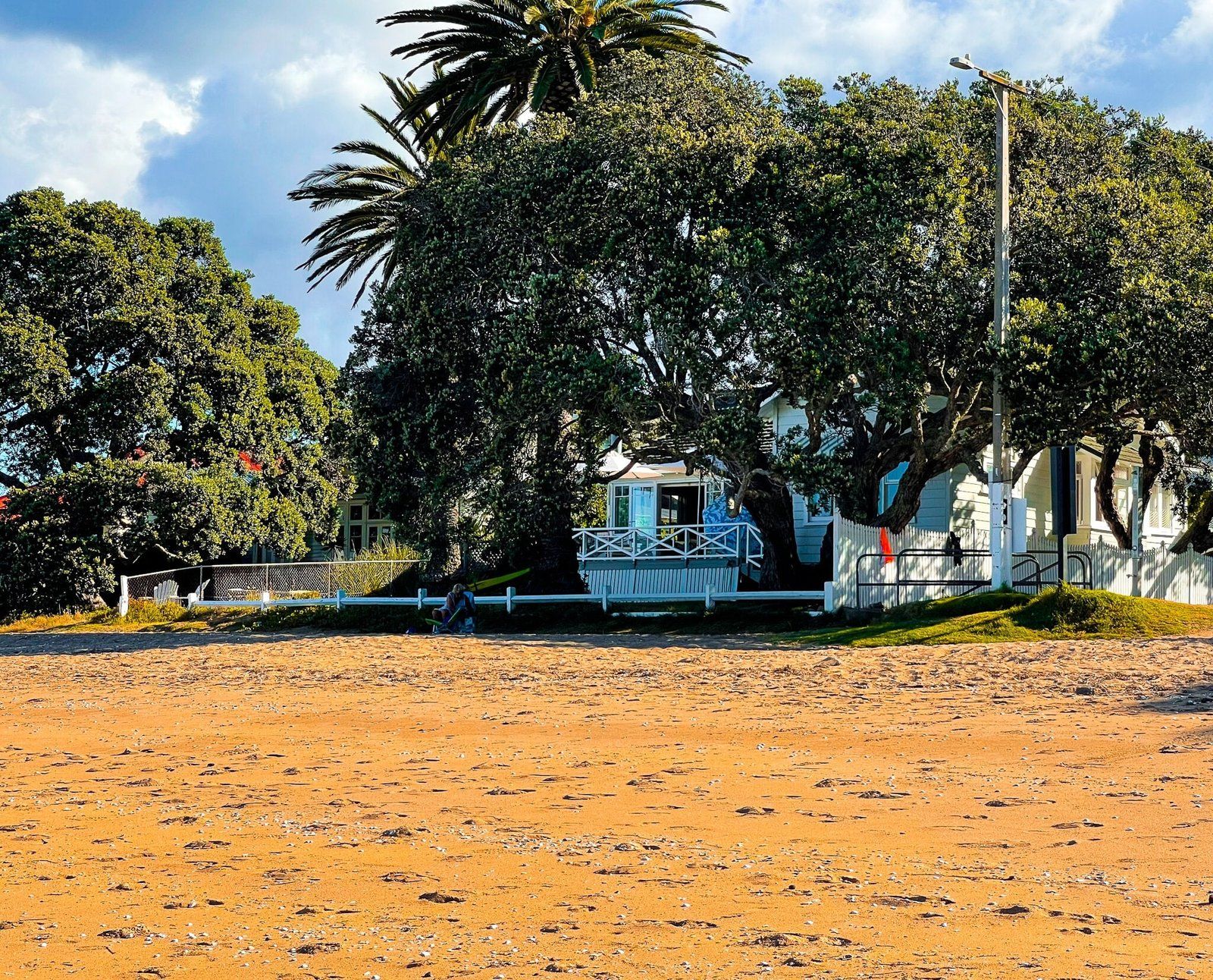
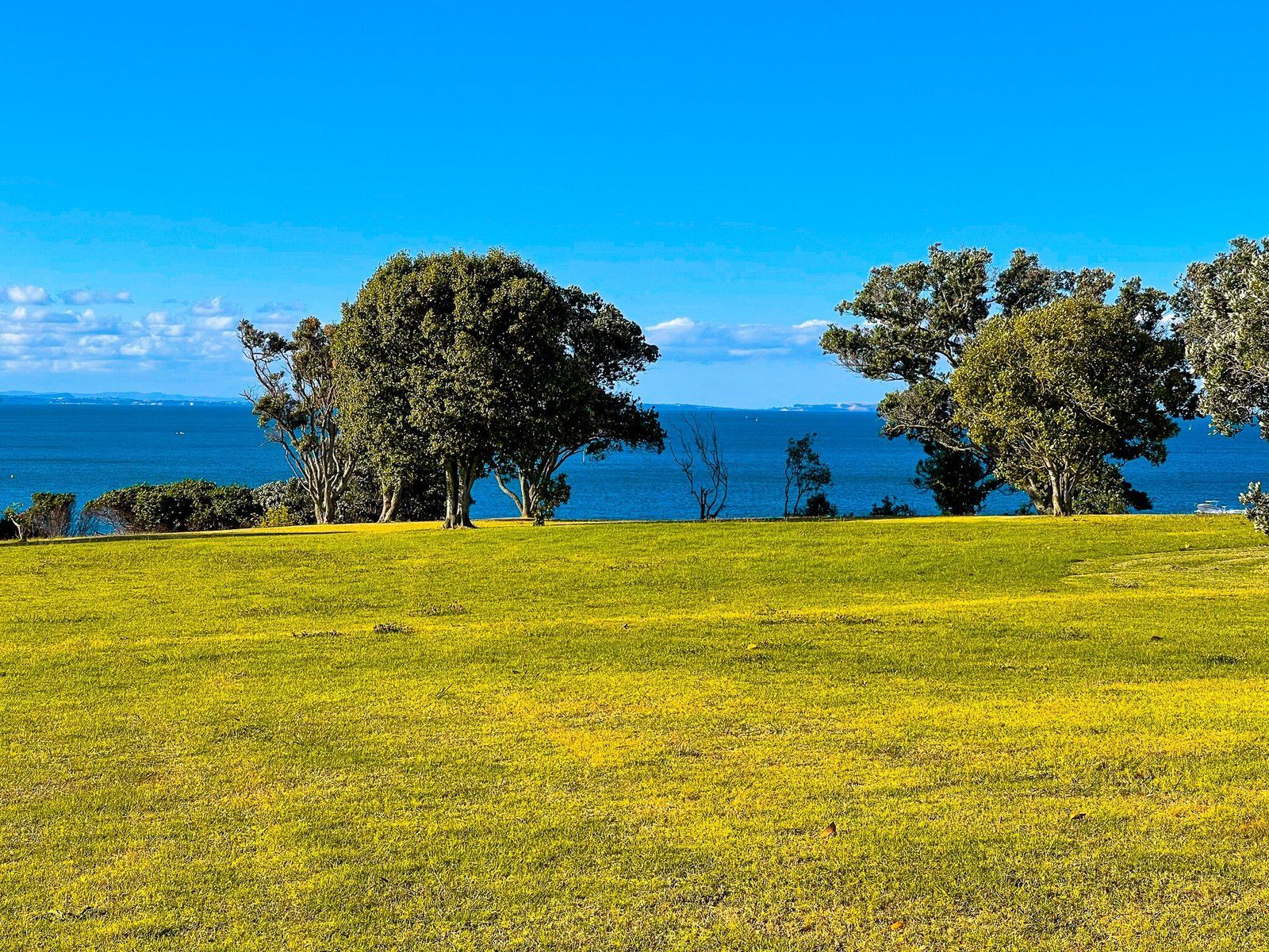
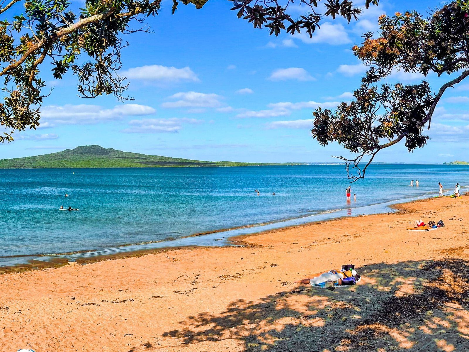
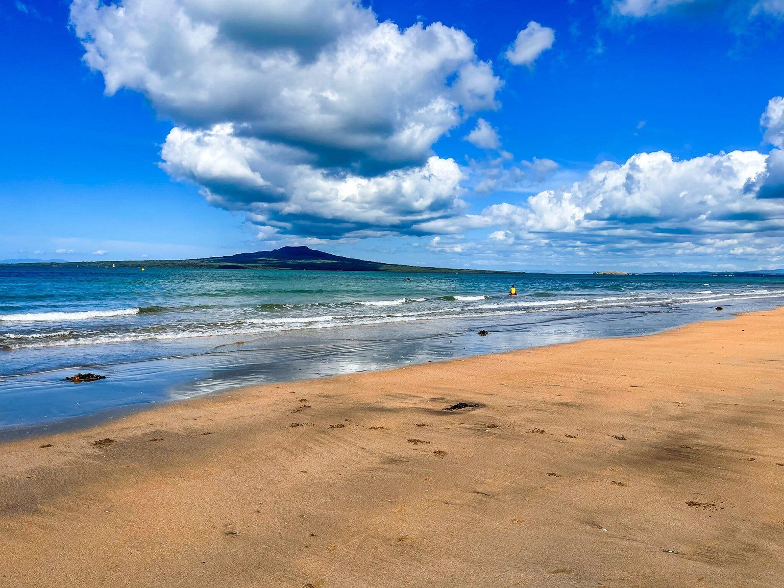
From Maungauika North Head, North Shore Coast Walk heads down to the east end of Cheltenham Beach. This is a lovely, safe and sheltered, relatively short beach opposite Rangitoto. It is backed by mostly restored Victorian and Edwardian houses that adds a nice relaxed suburban feel.
As with all these city beaches, the shore is relatively flat and the tide goes out a long way. Hence, the best time for a swim is when the tide is in but the best time for exploring is when the tide goes out.
Once the tide is out far enough, you can continue to walk around the rocky coast below the cliffs of Takapuna Head, staring at the west end of the beach.
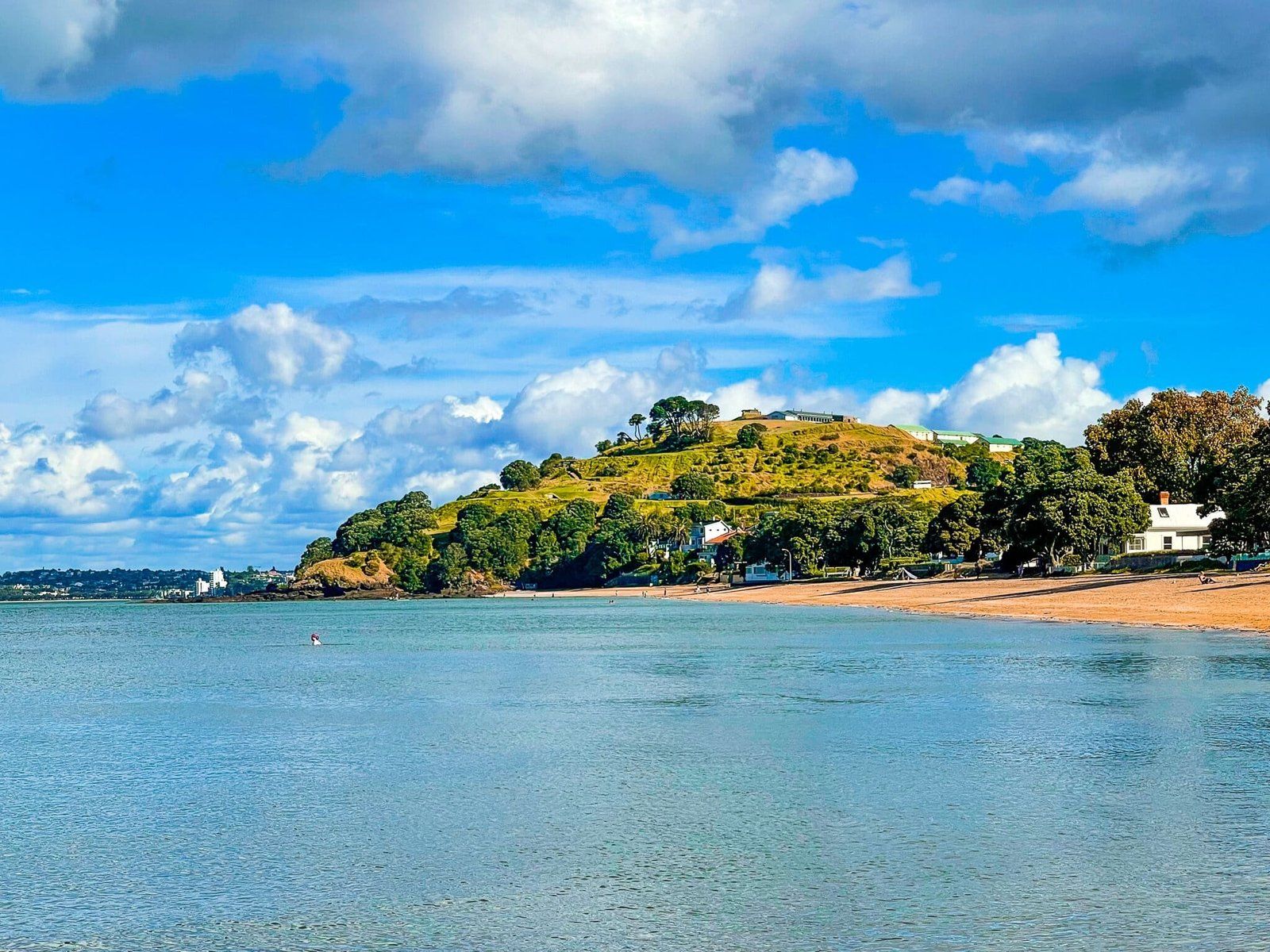
Takapuna Head and Fort Takapuna
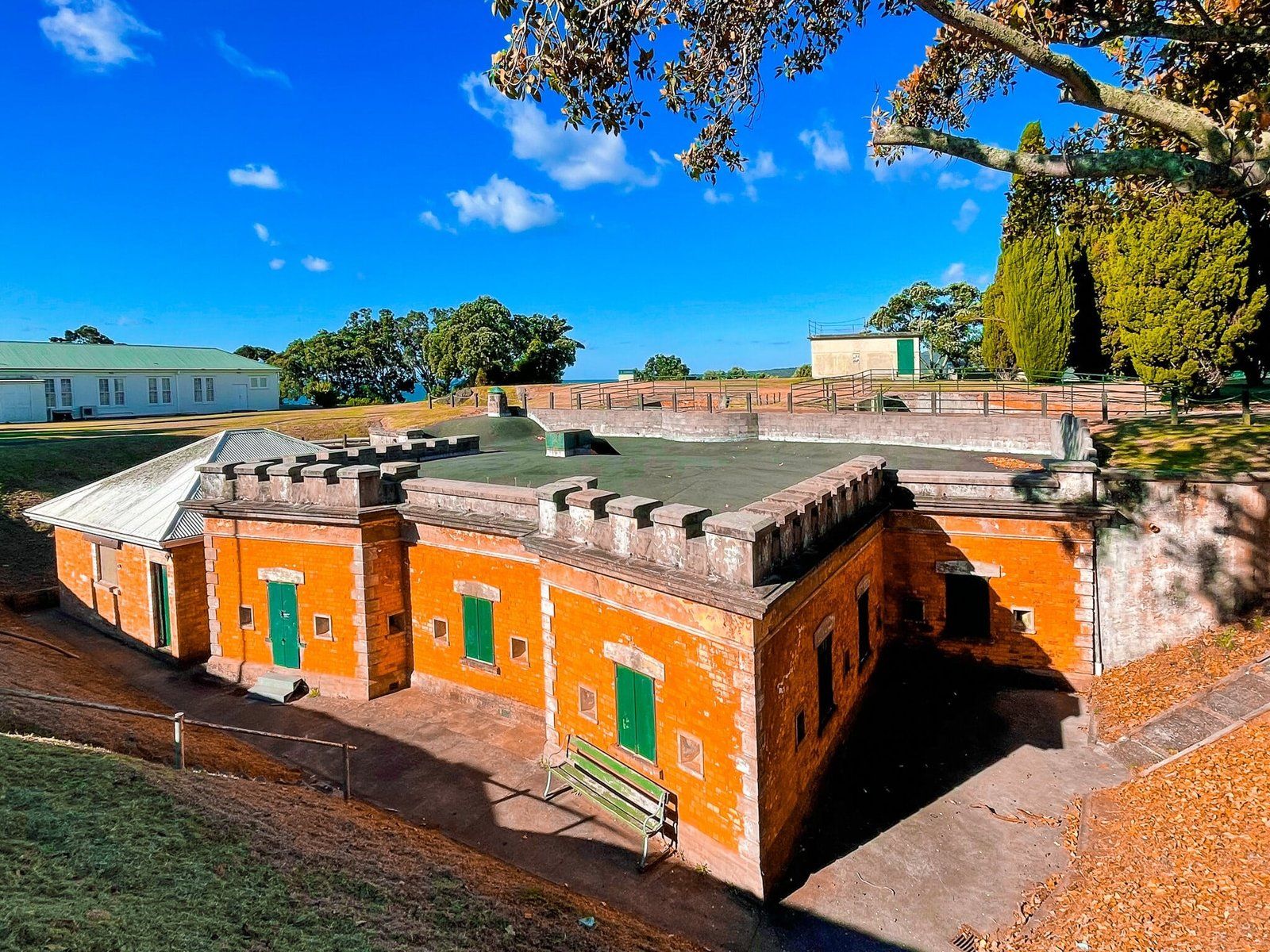
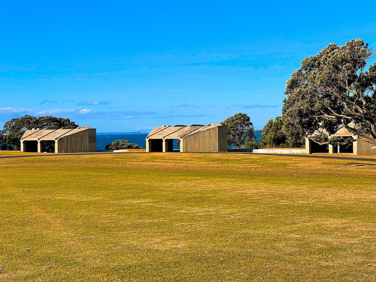
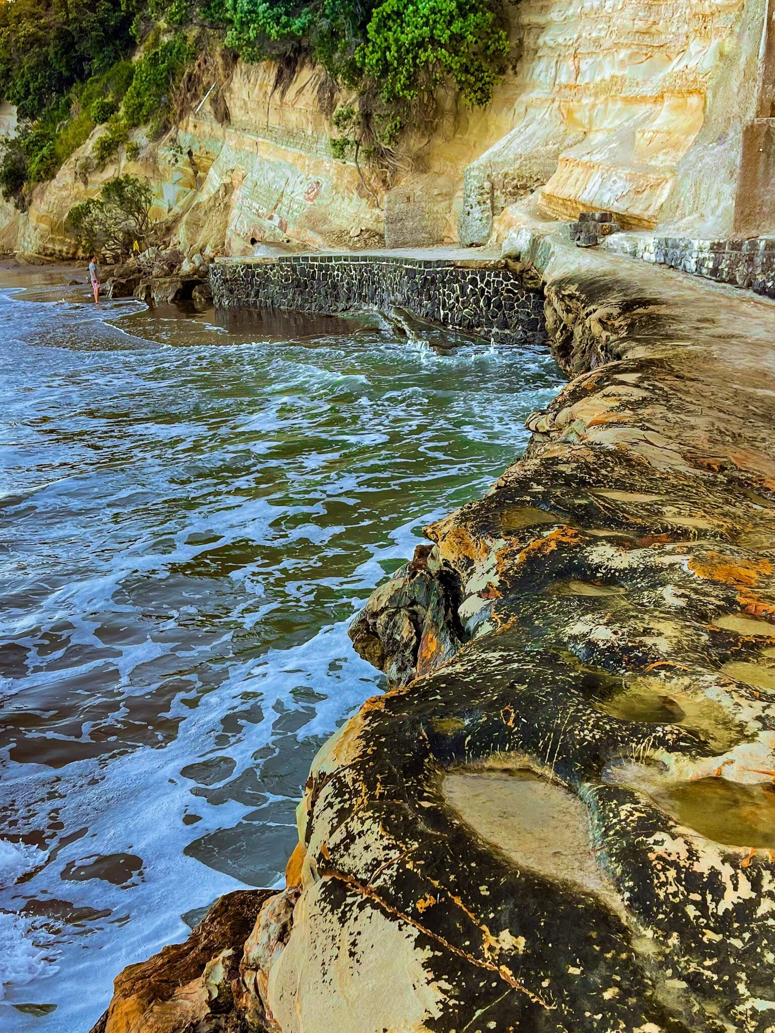
Fort Takapuna sits on the top of the cliff of Takapuna Head, to the east of Narrow Neck beach. Like the other military facilities on the peninsula, they were first developed in the late 1800s in response to the Russian scare. Believe it or not, there was a concern at the time that NZ may be subject to attack by the Russian navy due to tensions between Russia and Britain.
The area is now mostly a grassed park that slopes down to the beach at Narrow Neck. There are active naval barracks at the east end of the park. Walk to the house at the high point, which was once an observation post, and you will see the main fortifications to the right. They were dug into the ground behind the coastal cliff. Most curious is the main entrance, which has a distinctly Victorian look, complete with brickwork and castle top facade. Further to the east, by contrast, are several functional looking WW2 era gun emplacements.
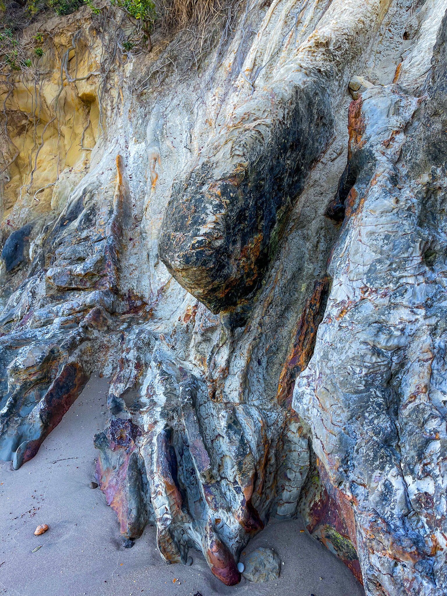
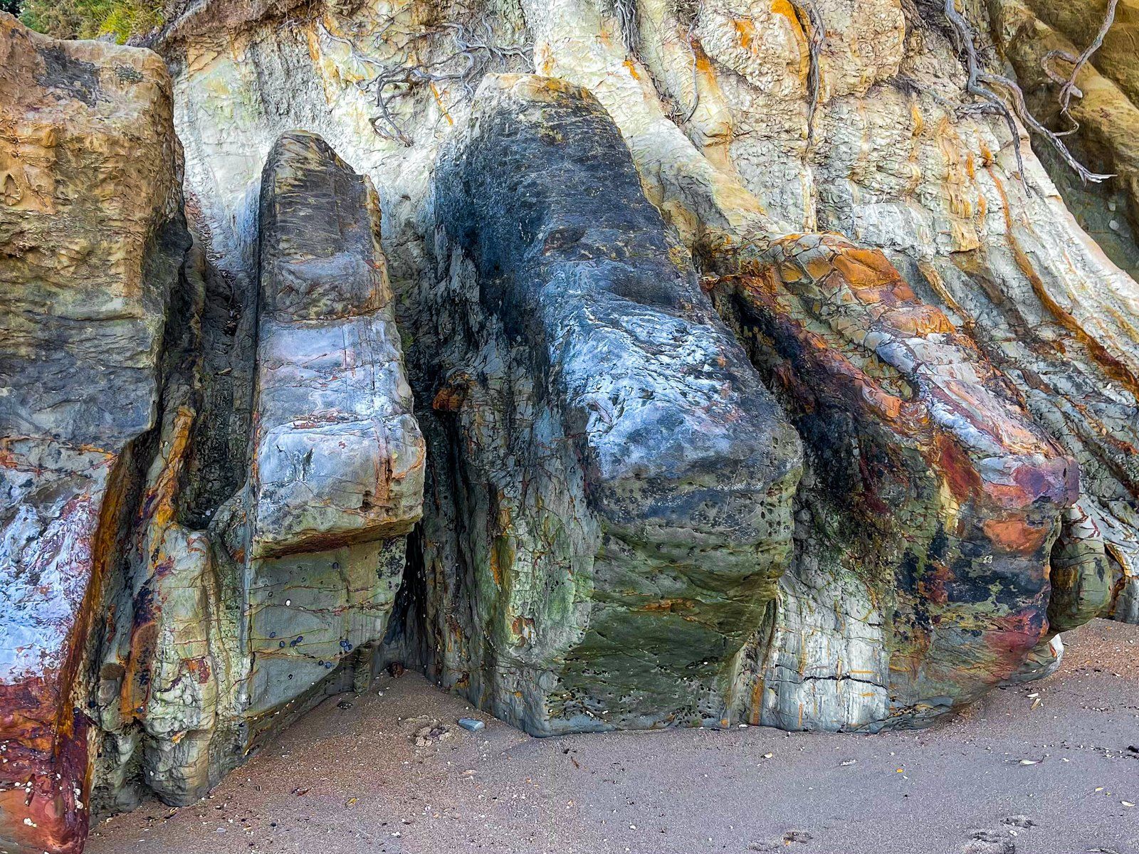
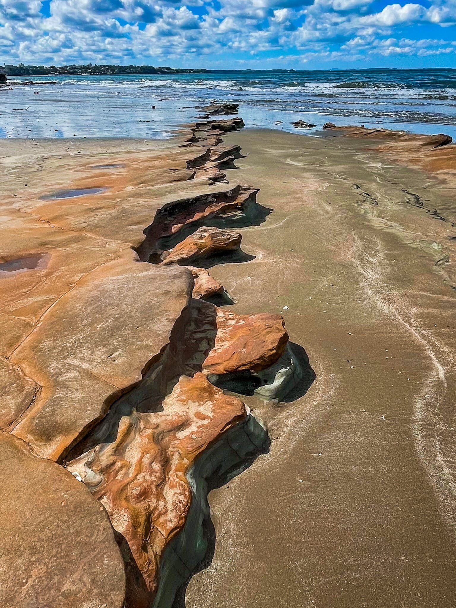
There is a rough unmarked track down the cliff near the first emplacement. If you are walking below the cliff around Takapuna Head, it’s very hard to pick it out. But you can use it to get up the cliff to Fort Takapuna before Narrow Neck beach. In any event, the rock formation immediately below this track is colourful and unusual.
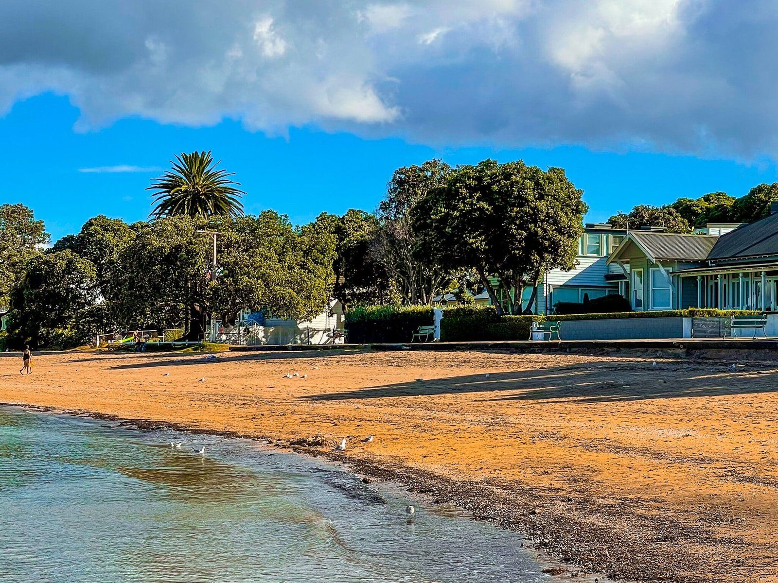
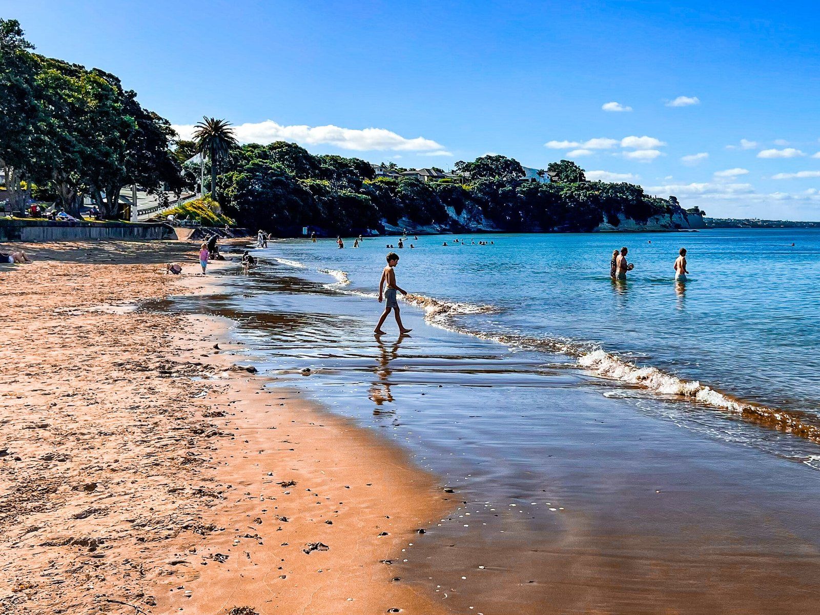
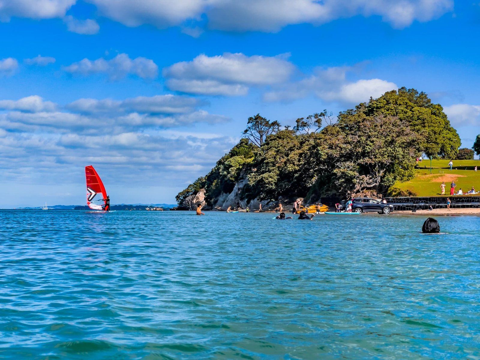
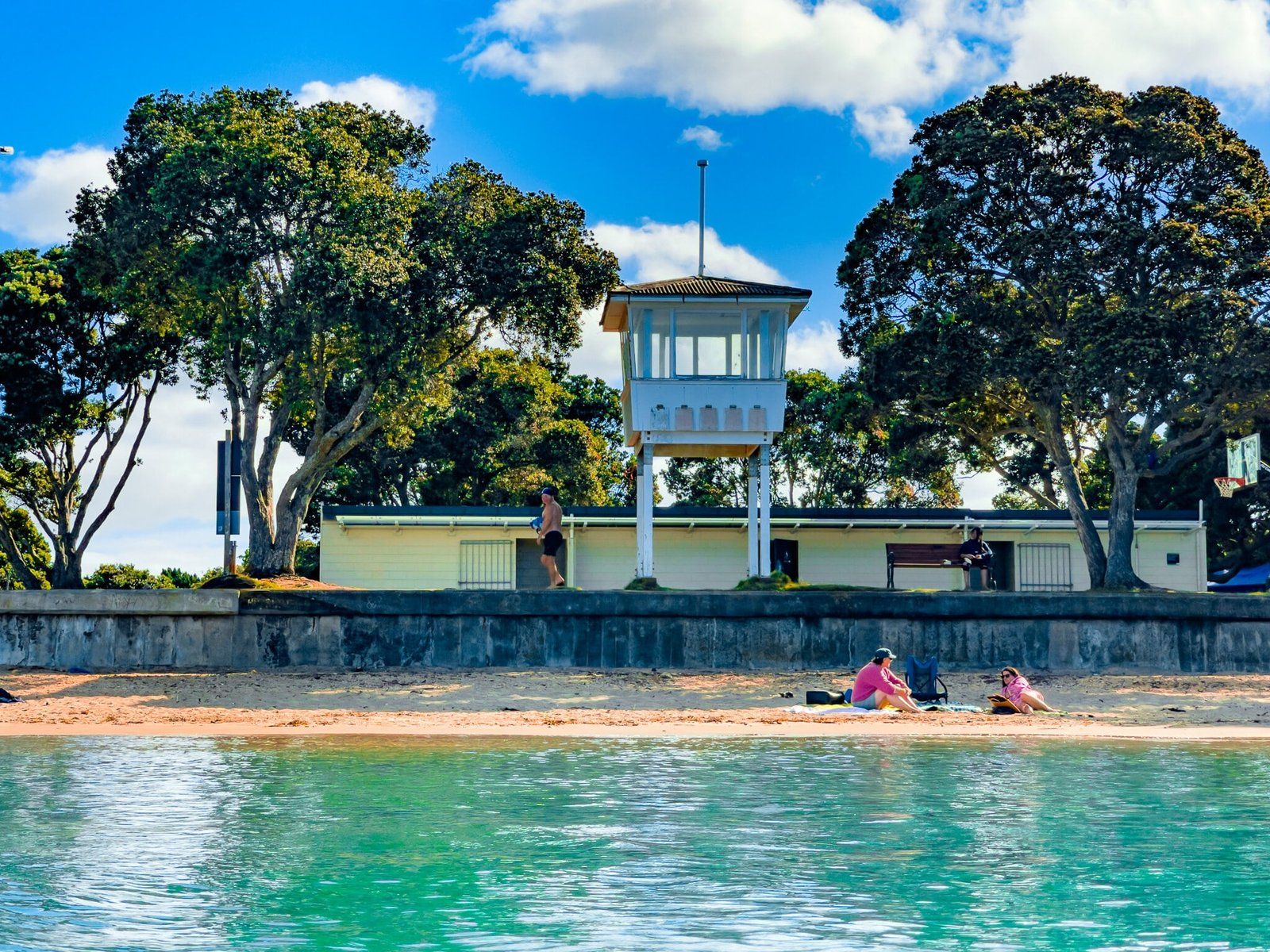
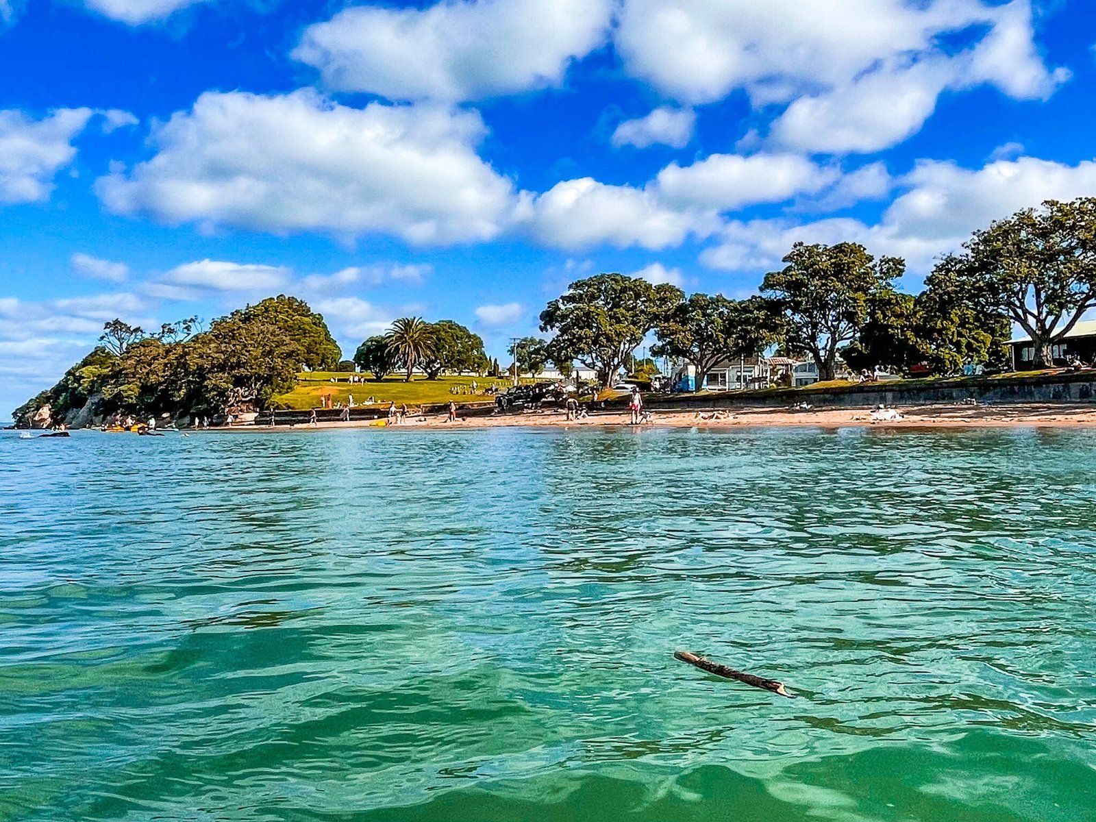
Narrow Neck
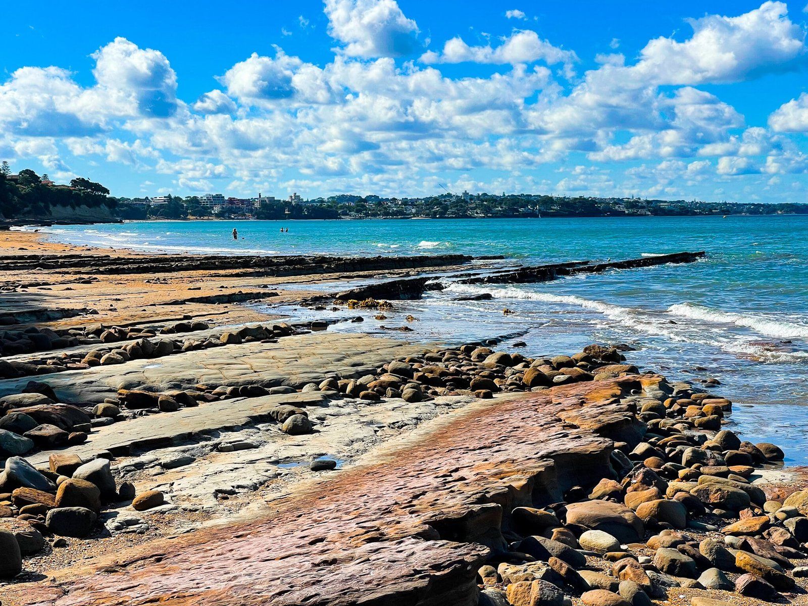
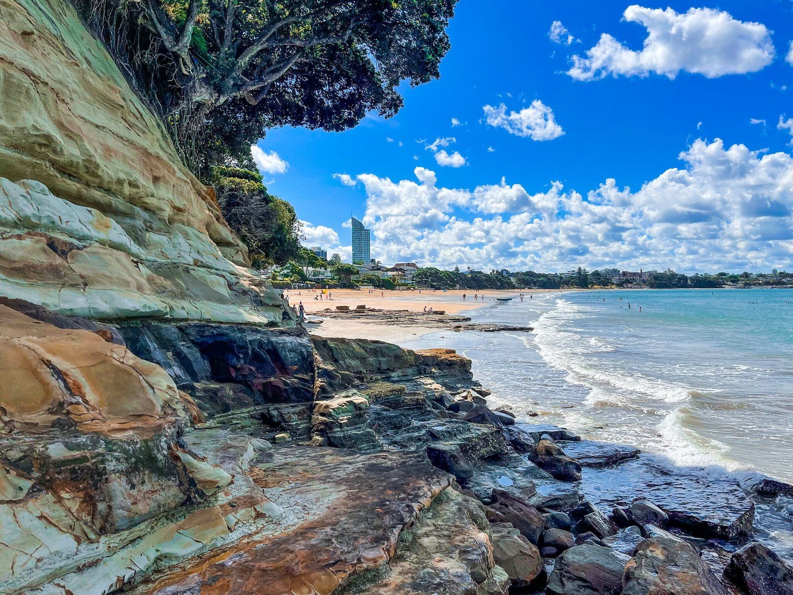
Narrow Neck is a popular, lovely and safe inner city swimming beach on the north side of the peninsula. It can be accessed along Vauxhall Road from Cheltenham as an alternate to walking around the coast, or along Old Lake Road from Lake Road if you are driving. You can continue around the coast below the cliffs to the west to St Leonards Beach as the tide goes out, if it’s too busy for you.
Narrow Neck is about the same length as Cheltenham, but backed by a park and a popular cafe, so tends to be busier. To the east above the cliffs is Fort Takapuna on Takapuna Head.
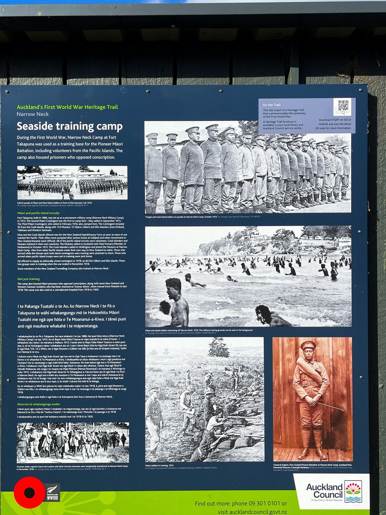
The beach also has a military history, being the site of a major training camp during WW2. There is a series of boards next to the cafe with photos from the period.
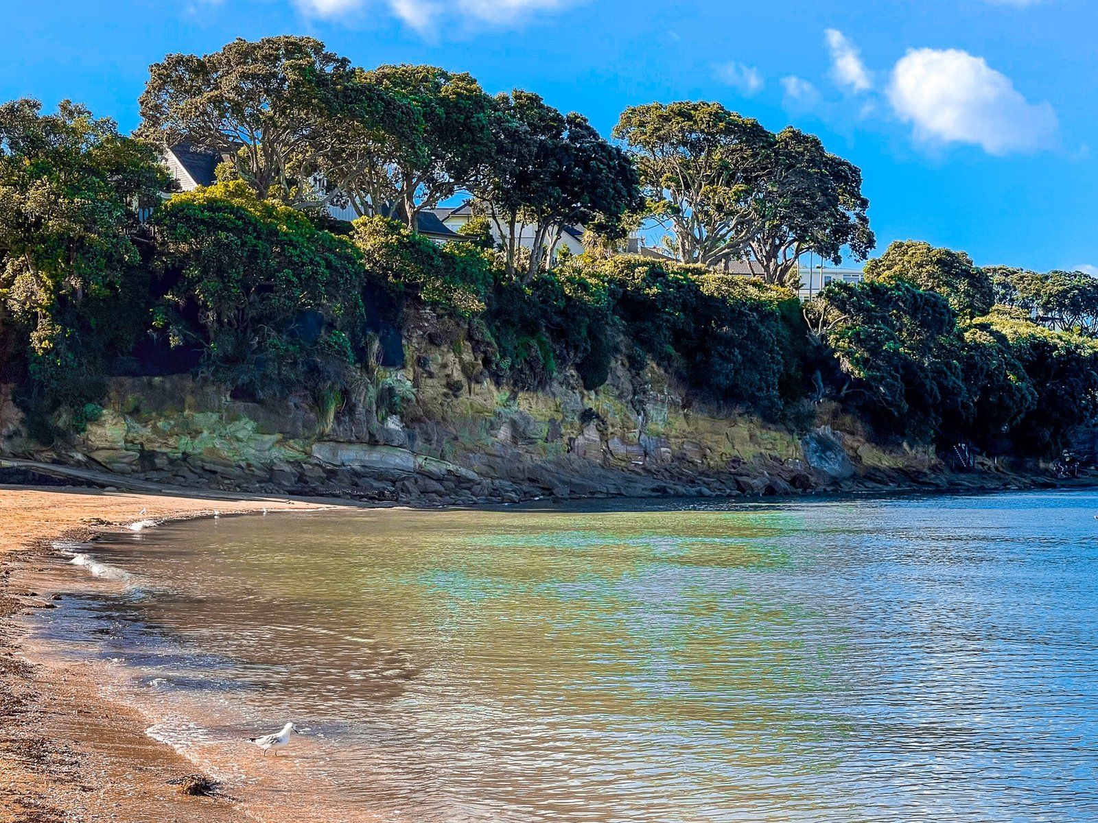
Narrow Neck to St Leonards Beach
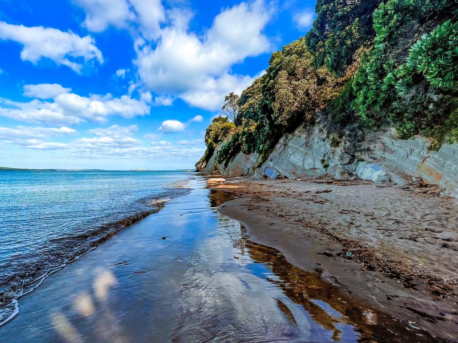
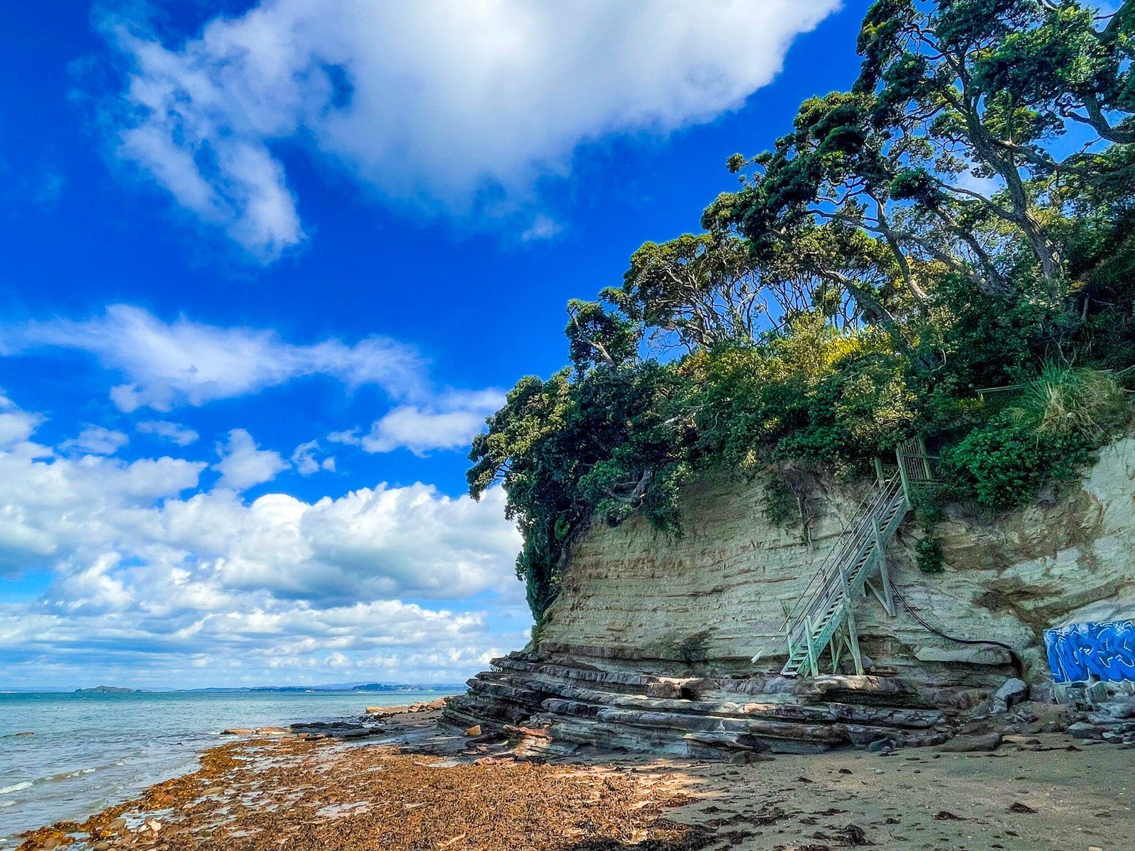
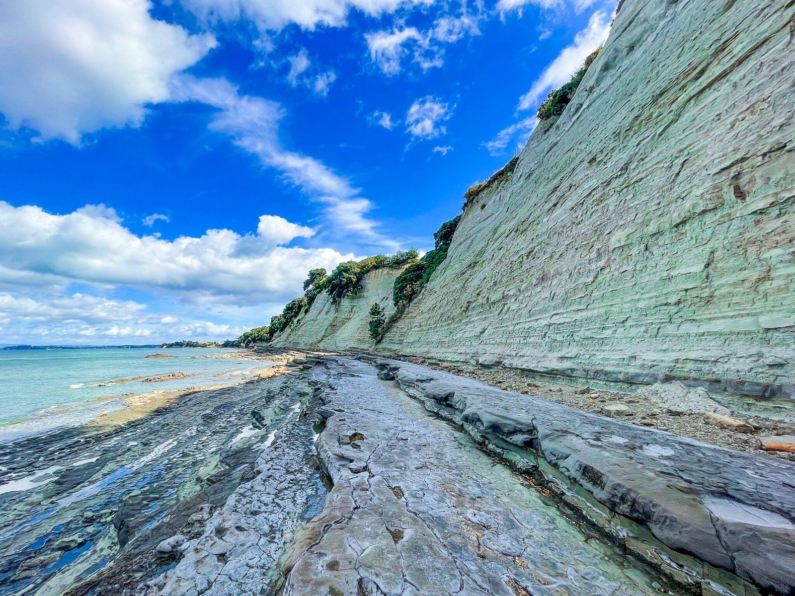
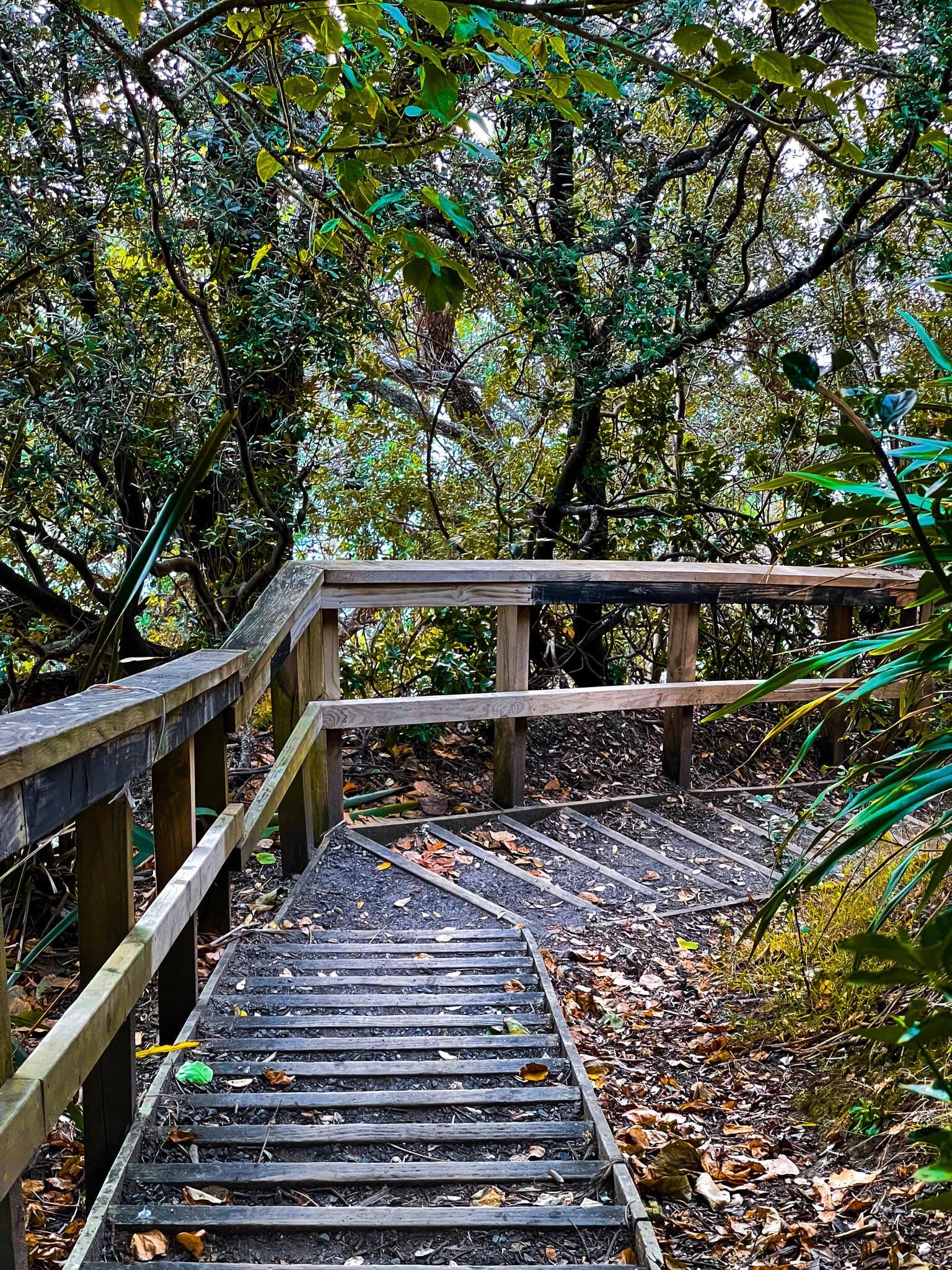
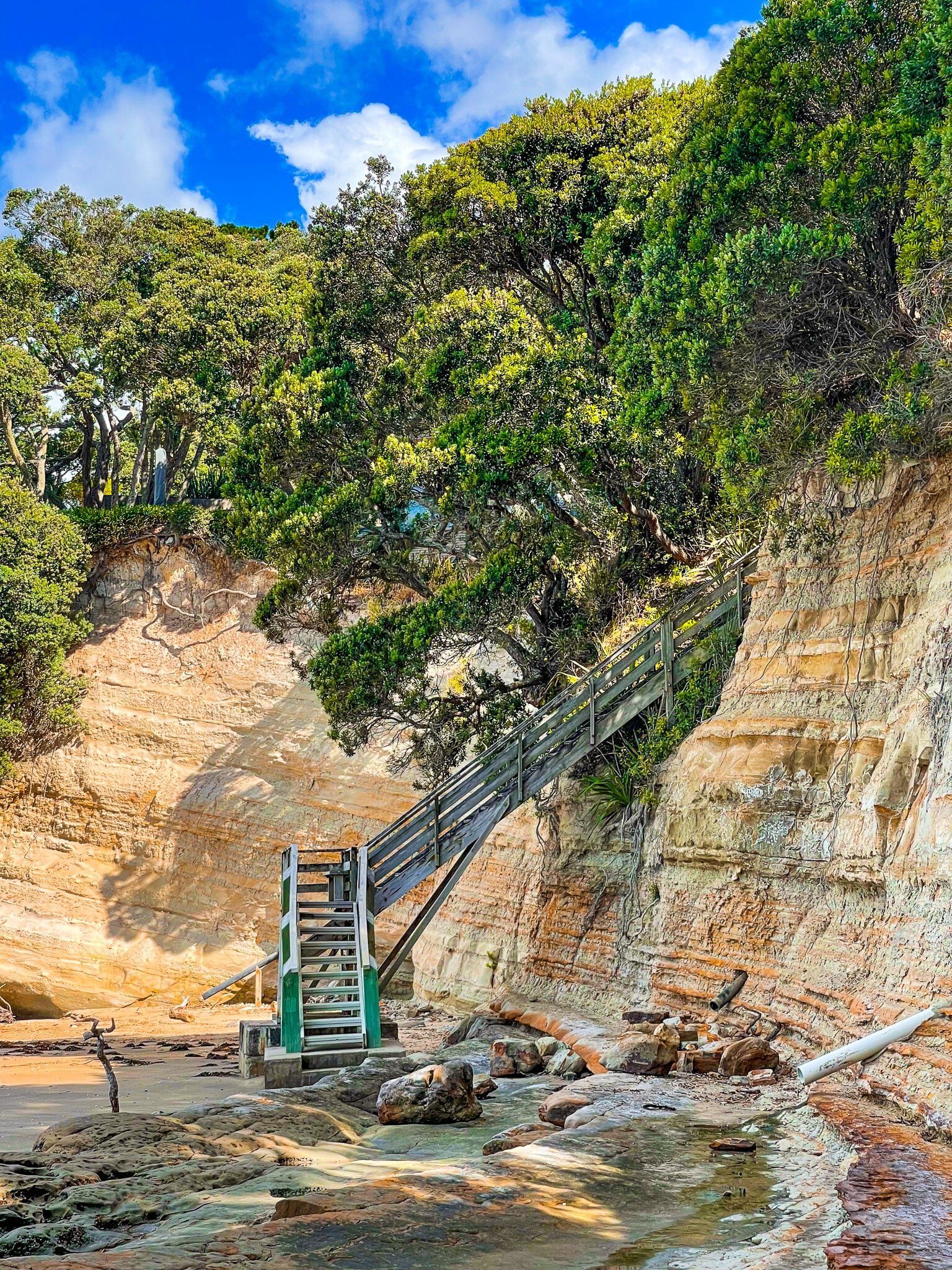
You can walk along the mostly rocky coast between Narrow Neck and St Leonards Beach as the tide goes out. The cliffs here are higher and it is more like the cliff lined sections of the North Shore Coast Walk further north. There is a steep staircase about two thirds of the way along that takes you up to the top of the cliff to Seacliff Avenue.
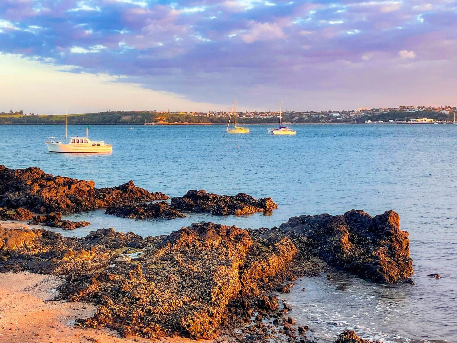
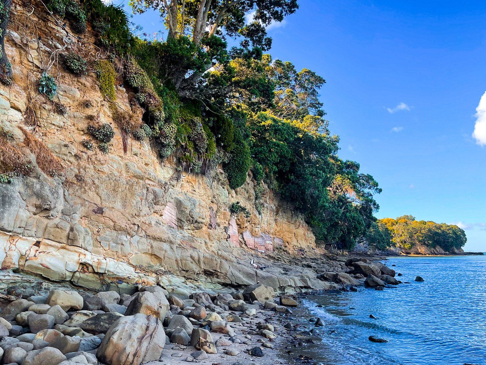
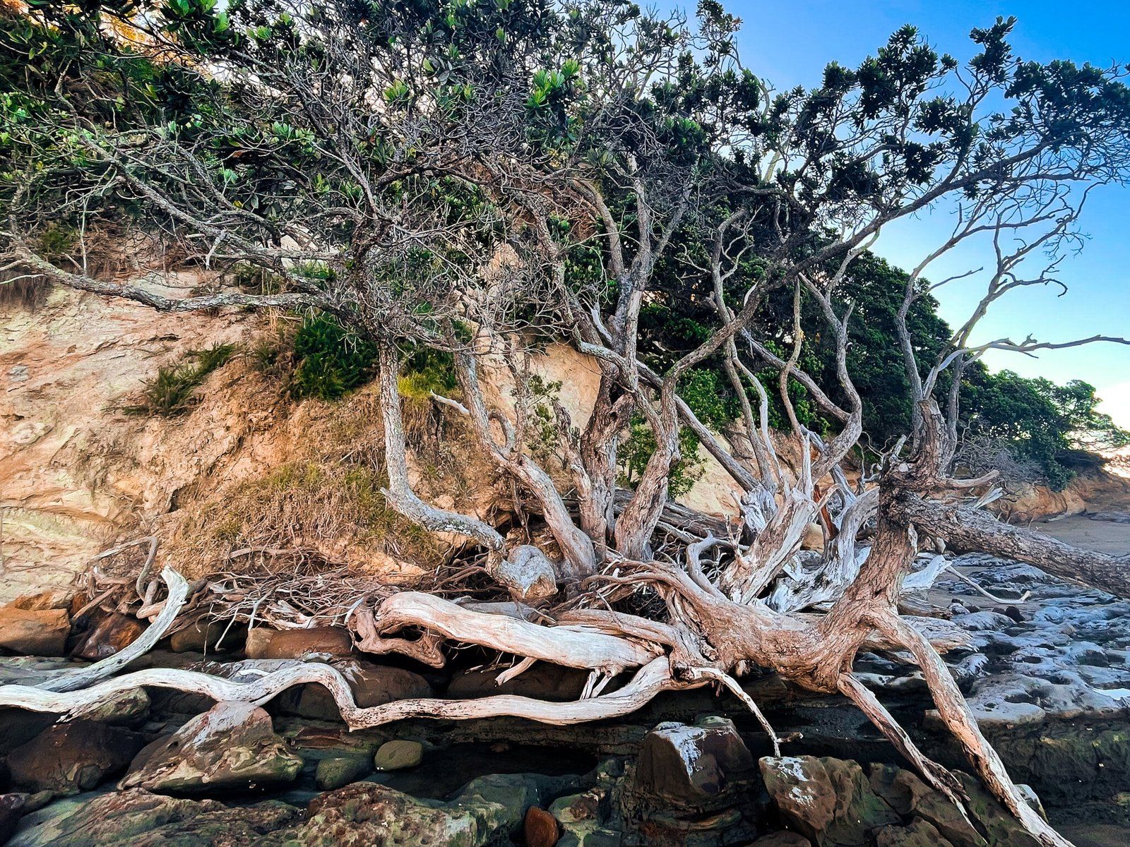
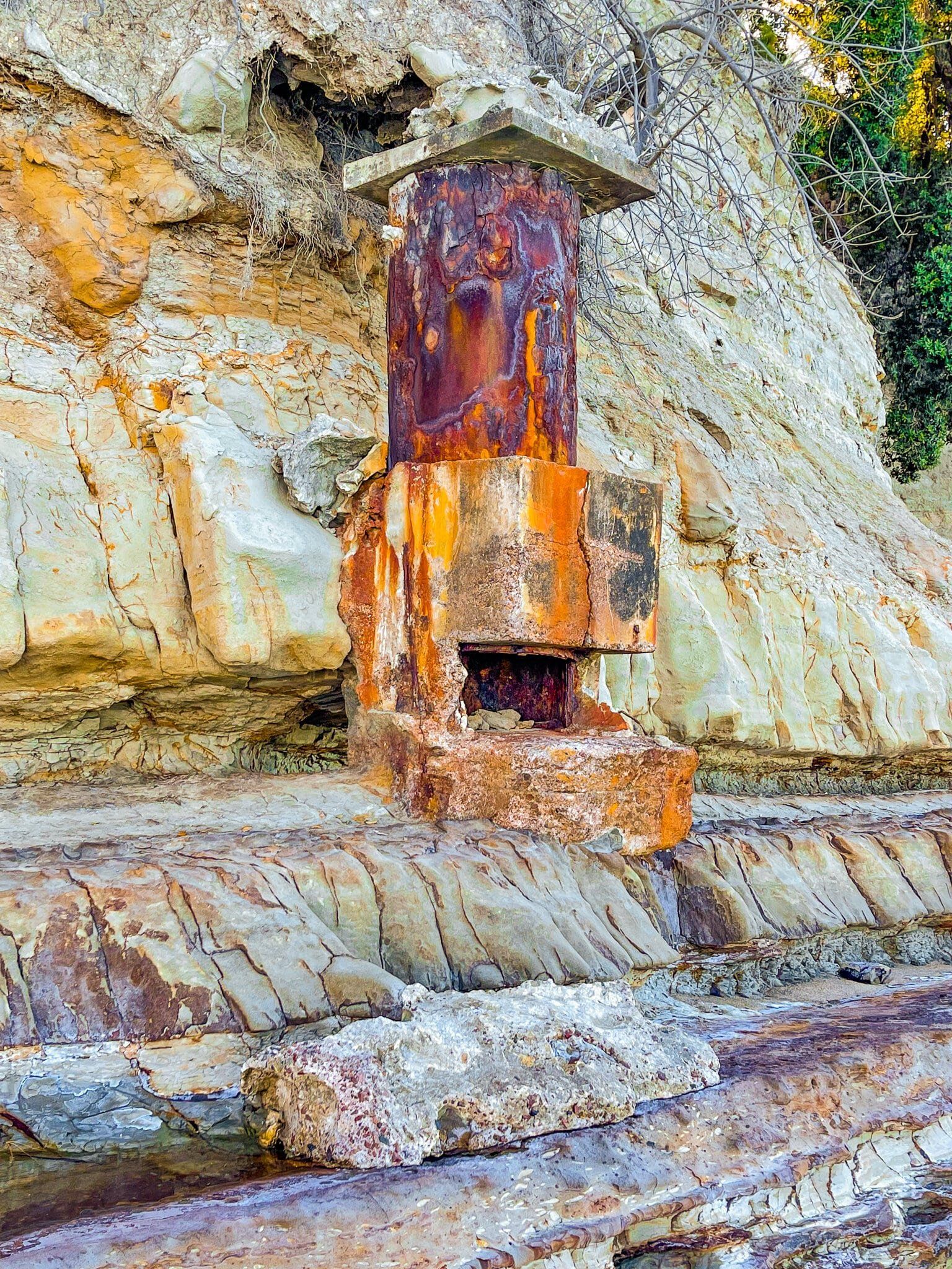
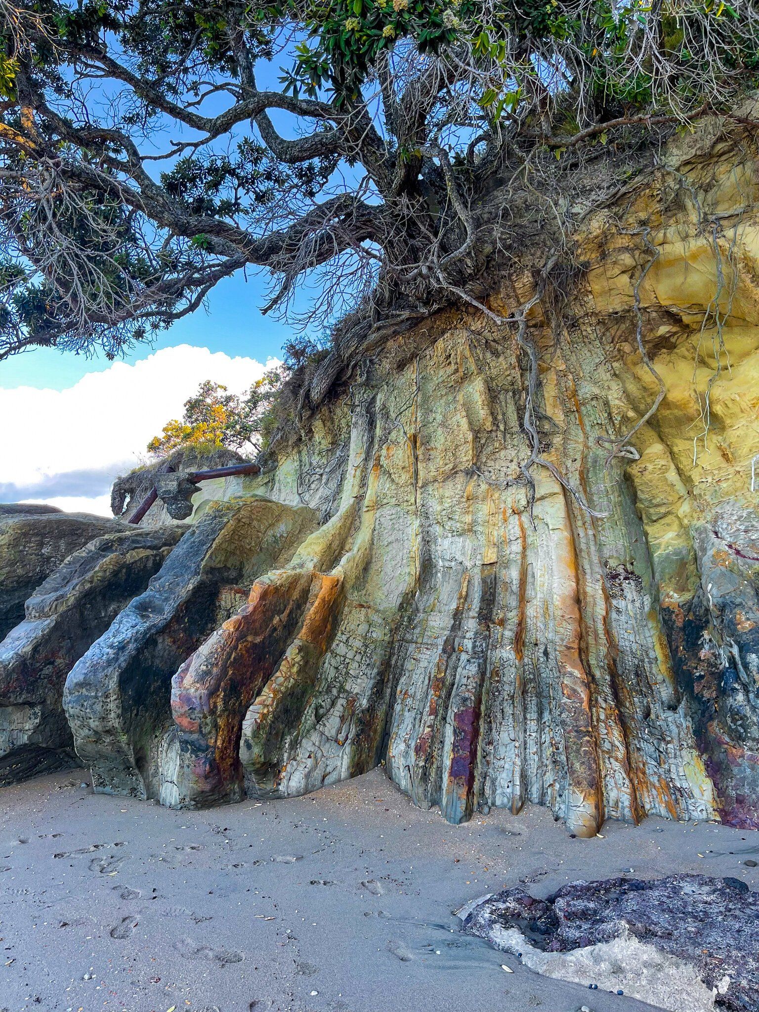
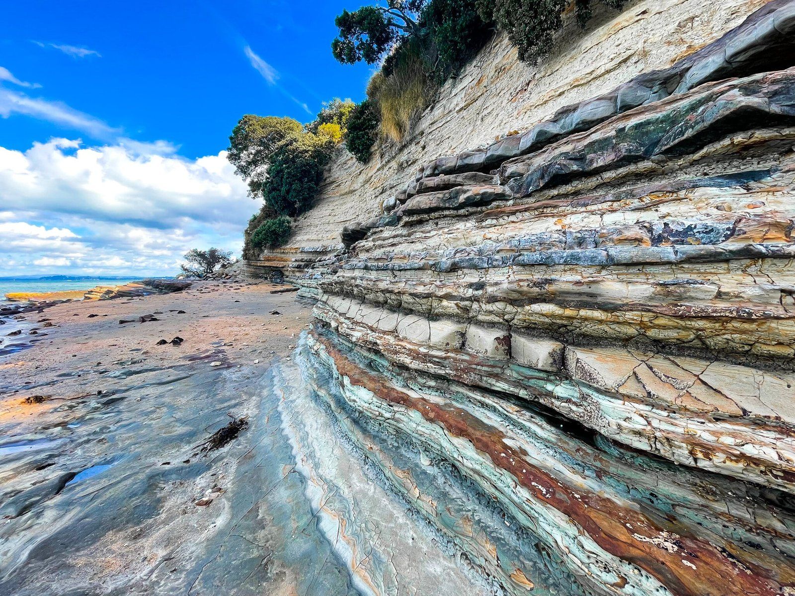
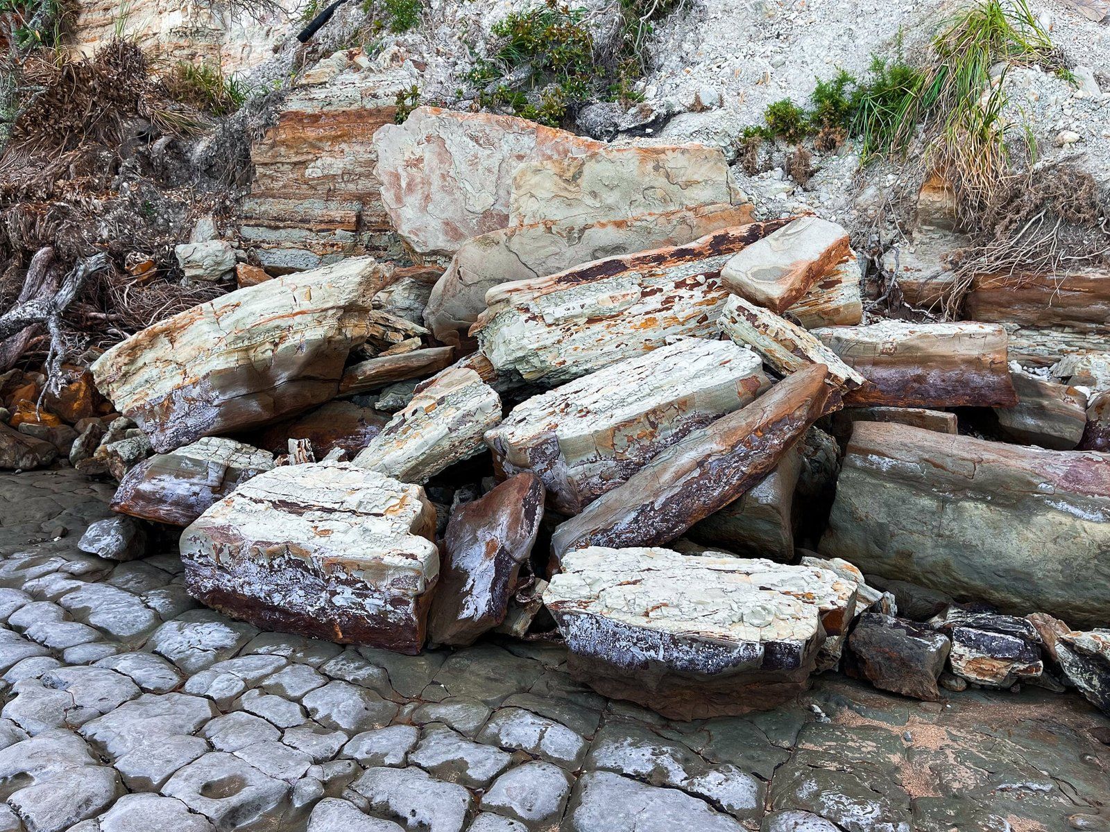
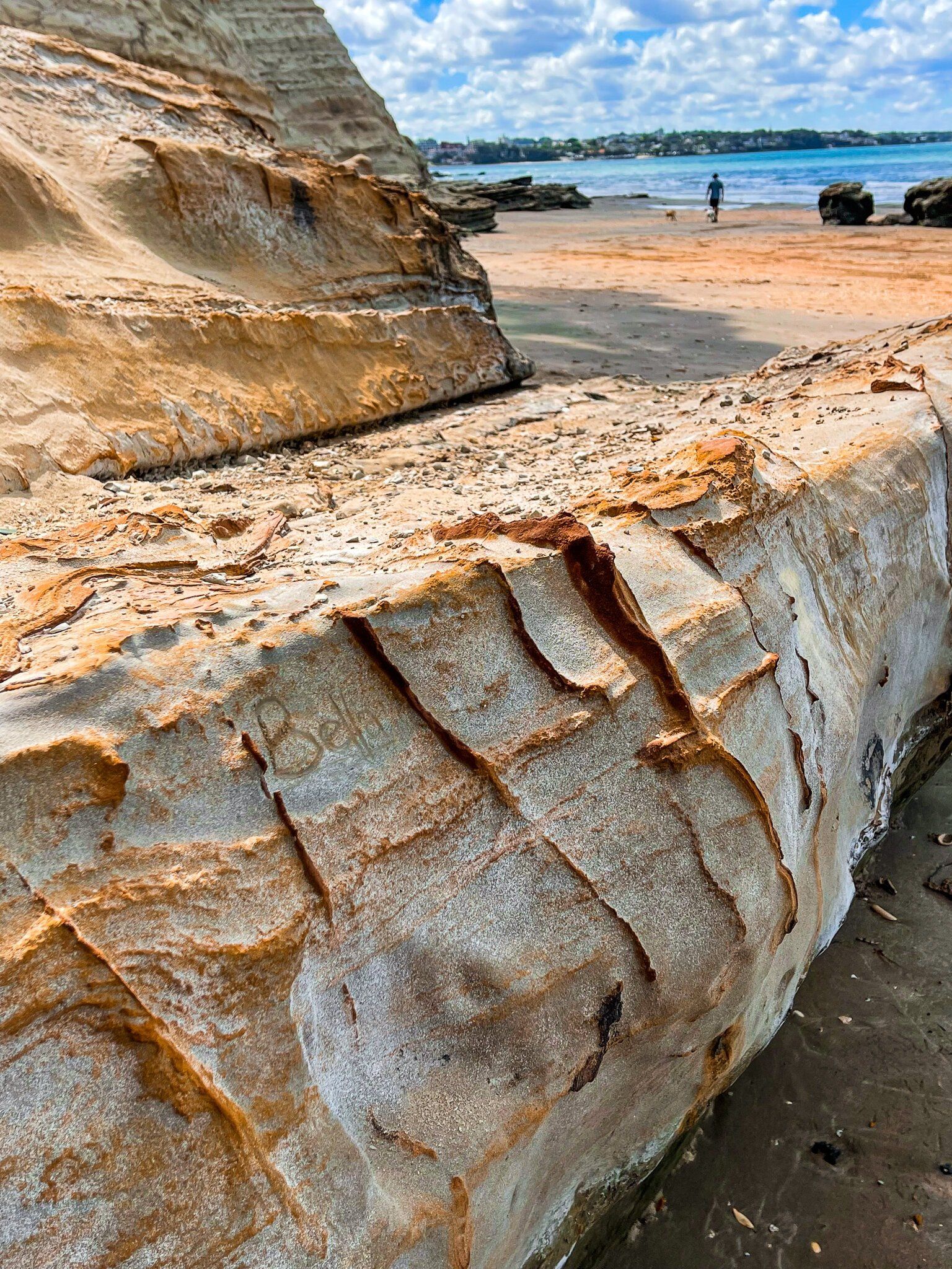
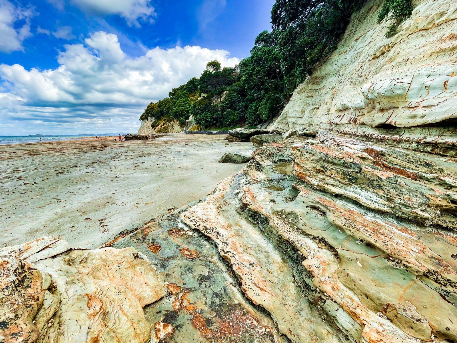
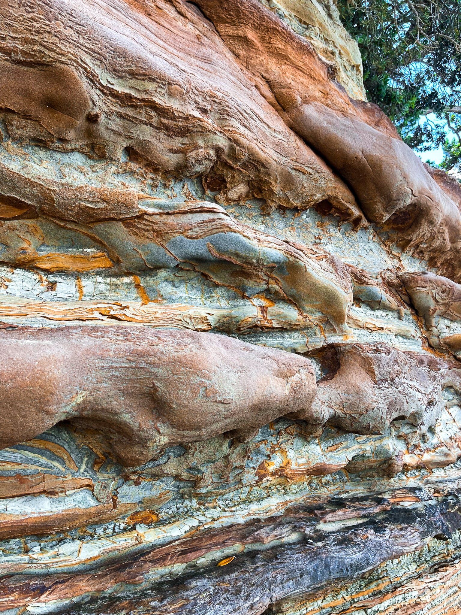
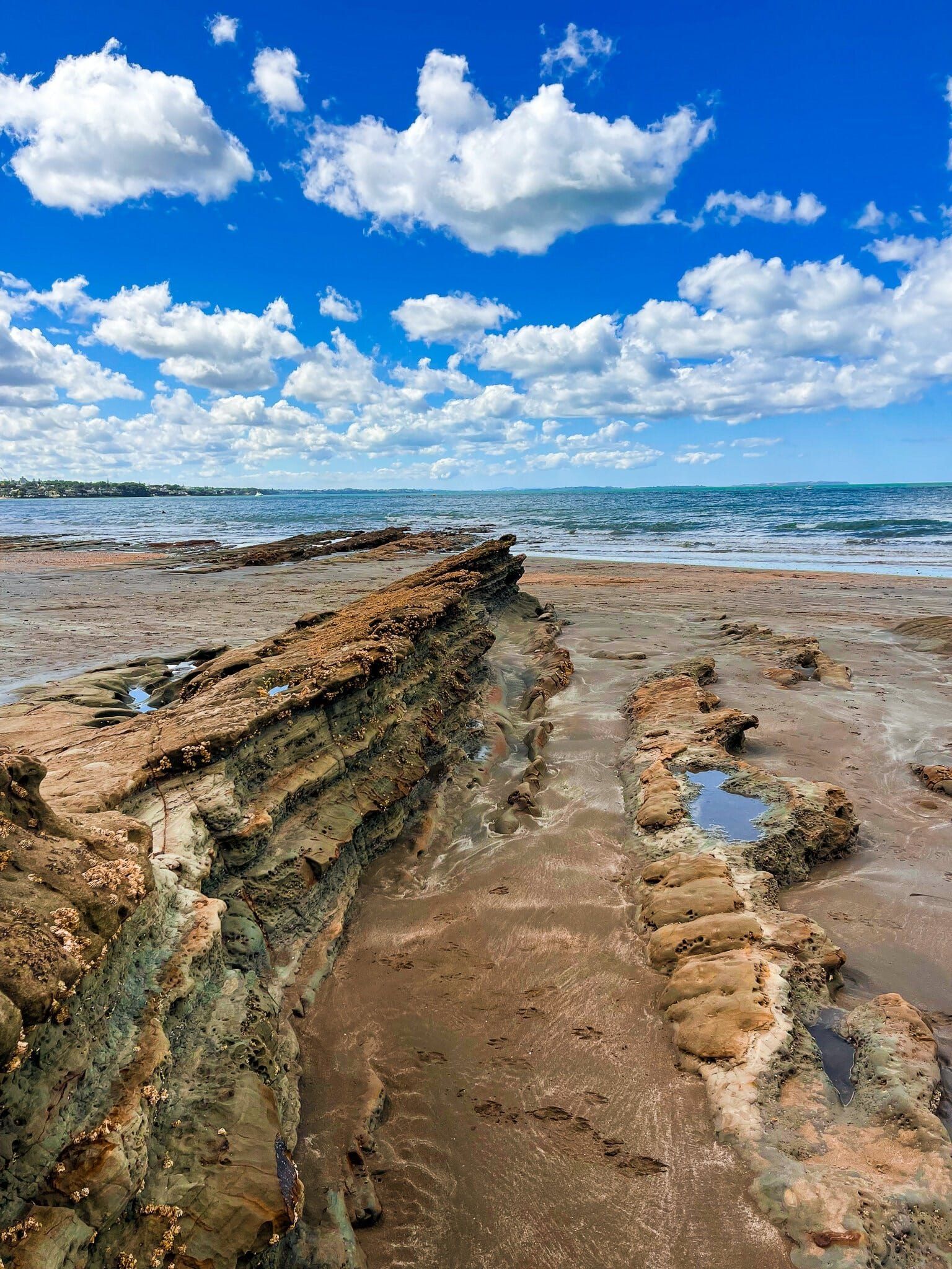
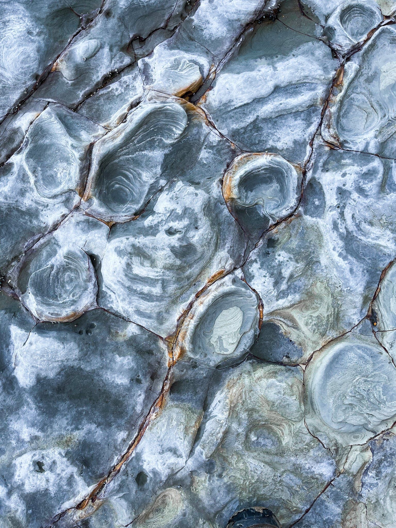
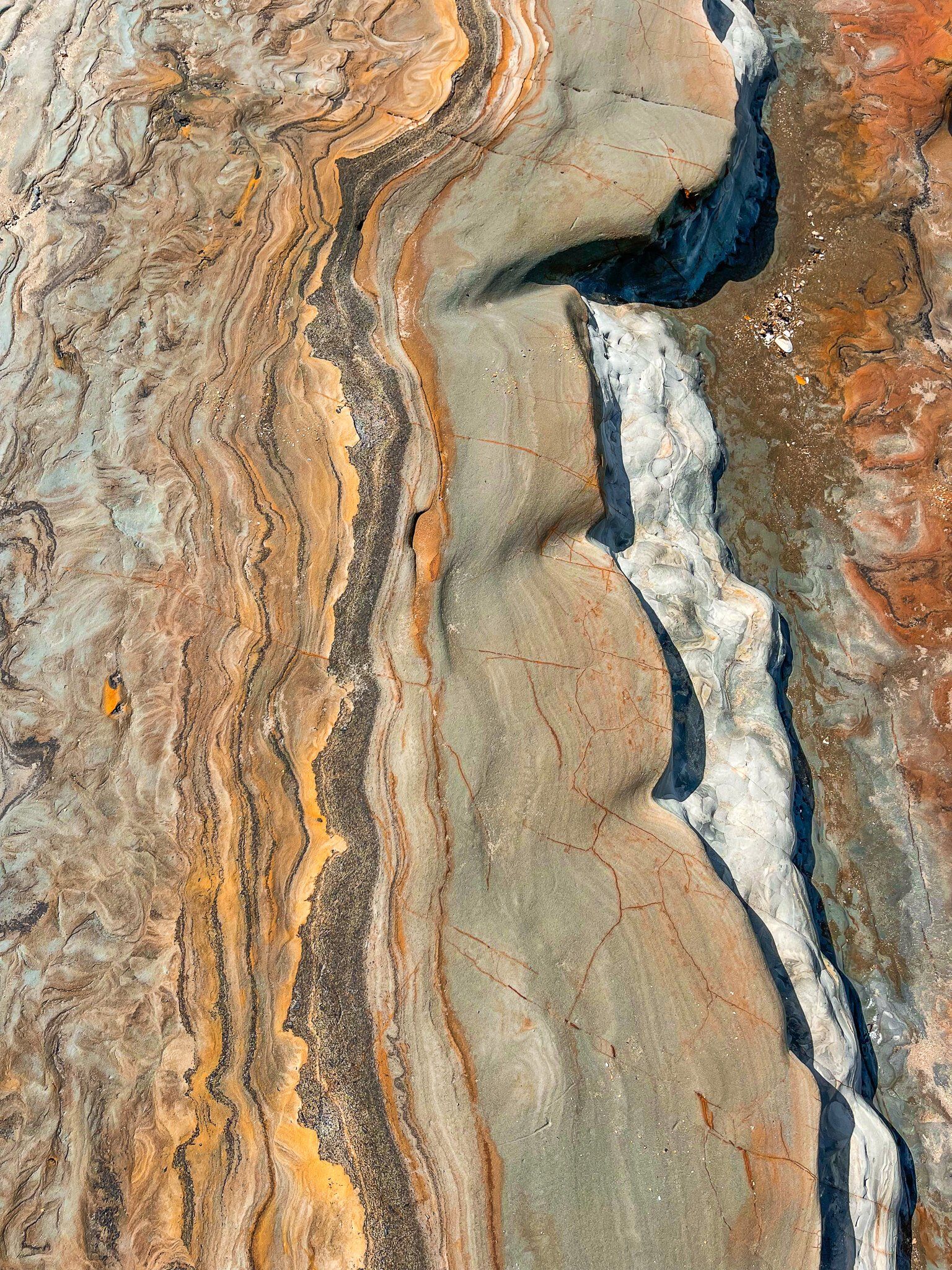
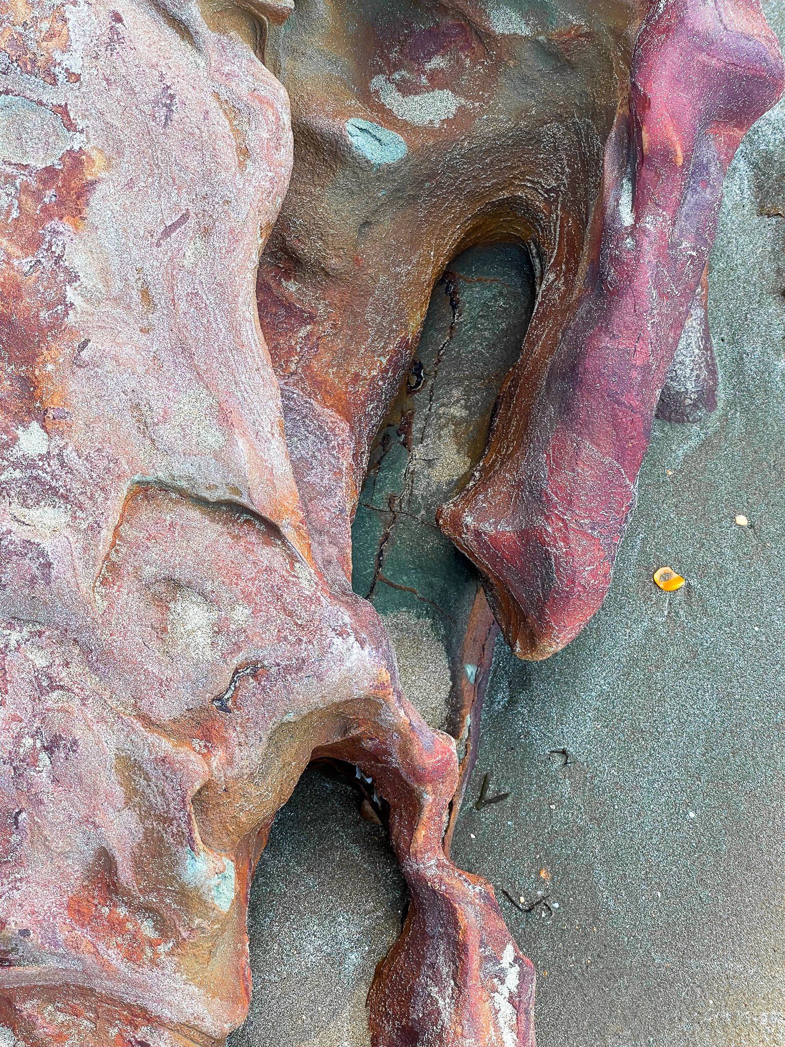
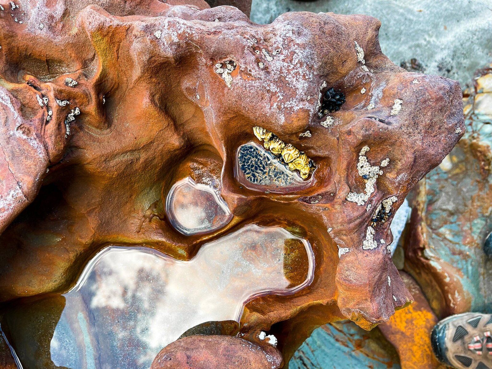
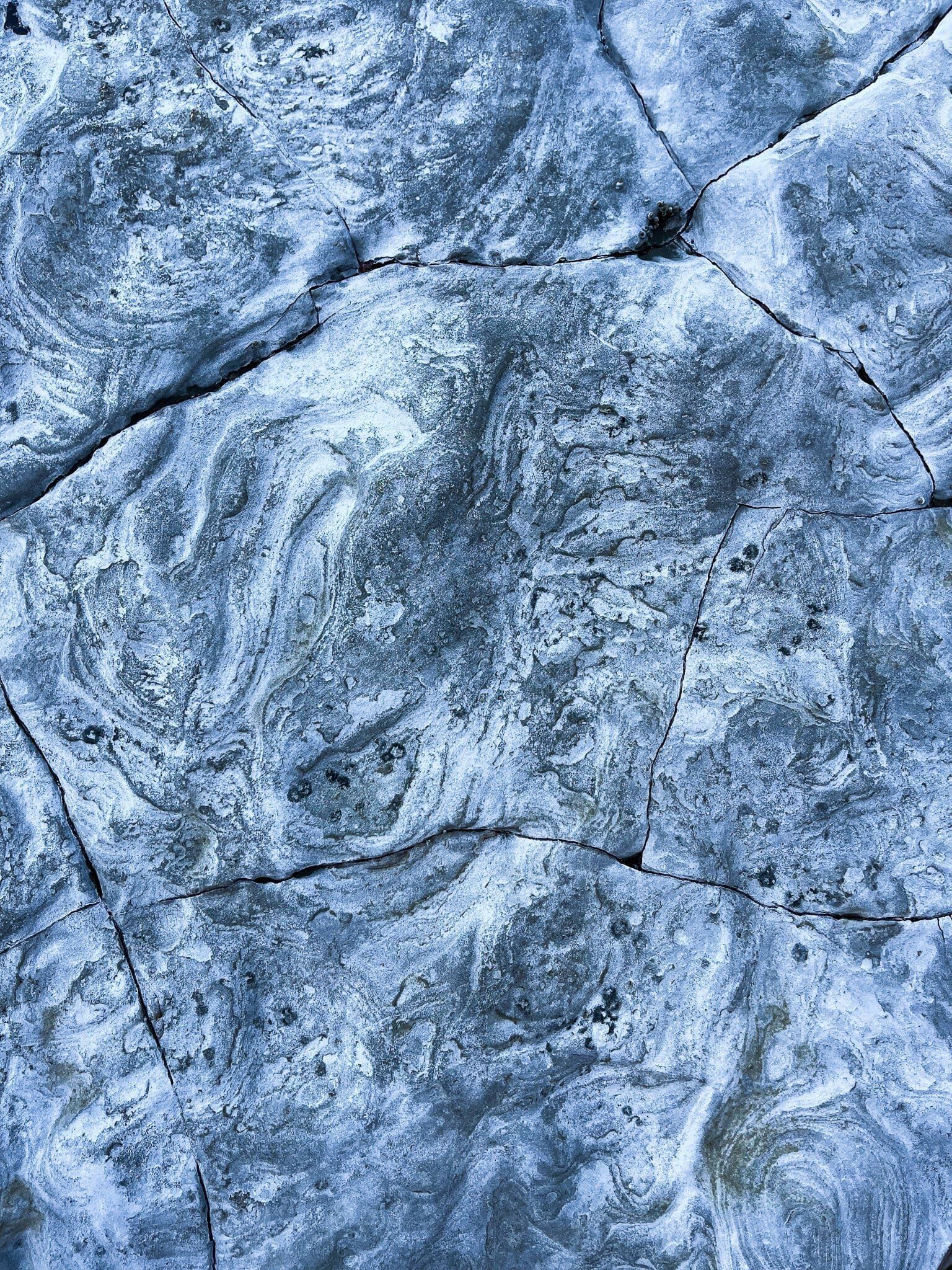
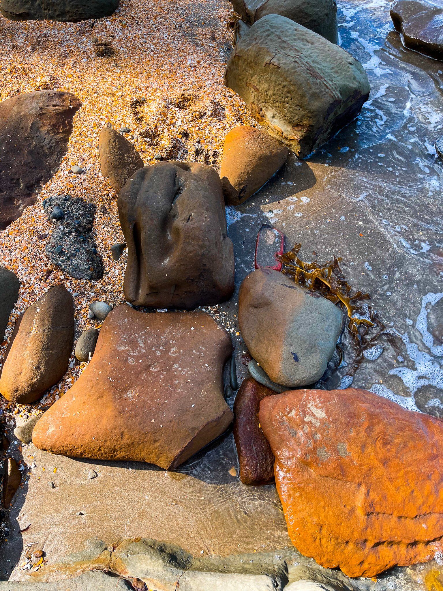
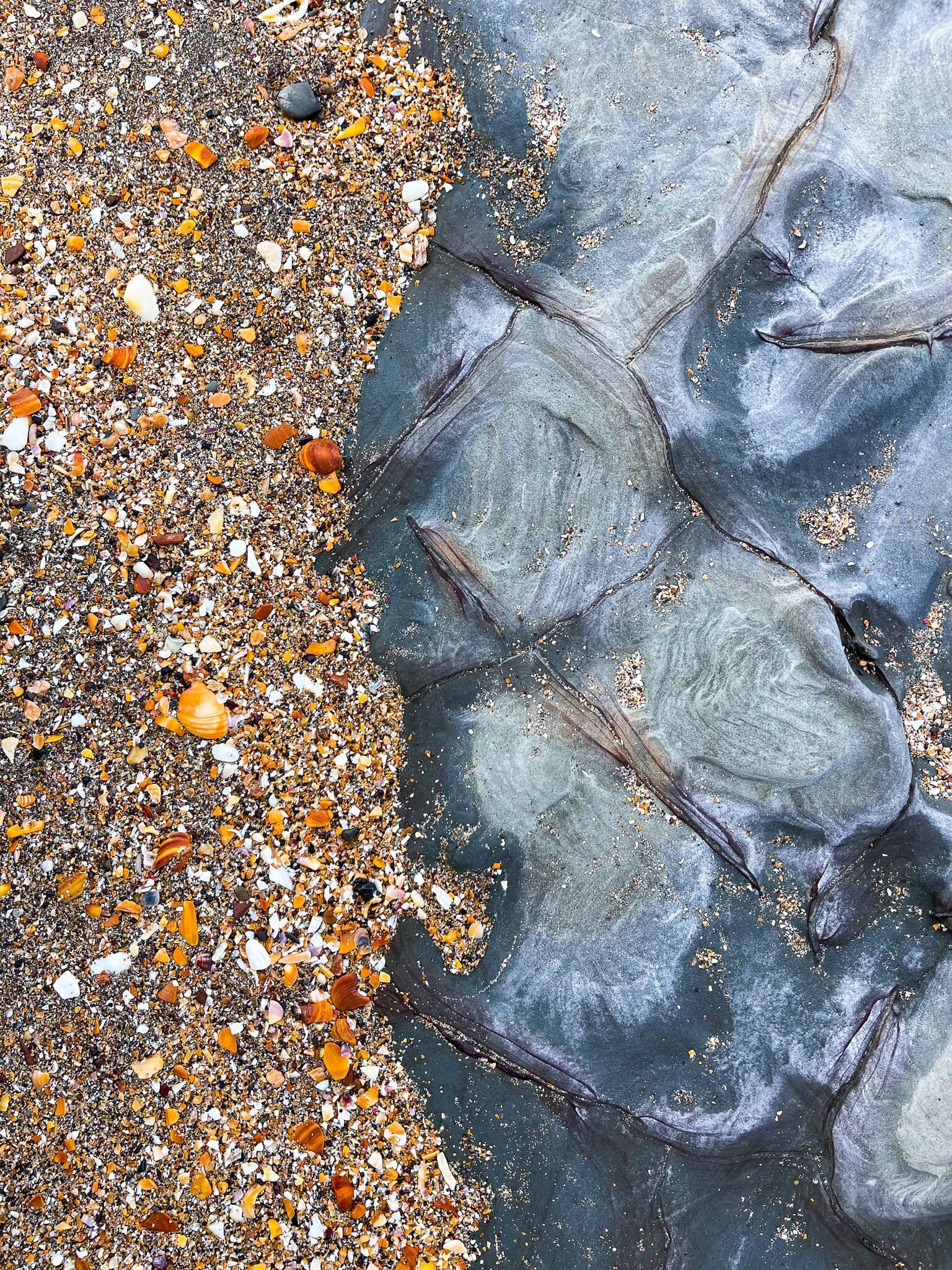
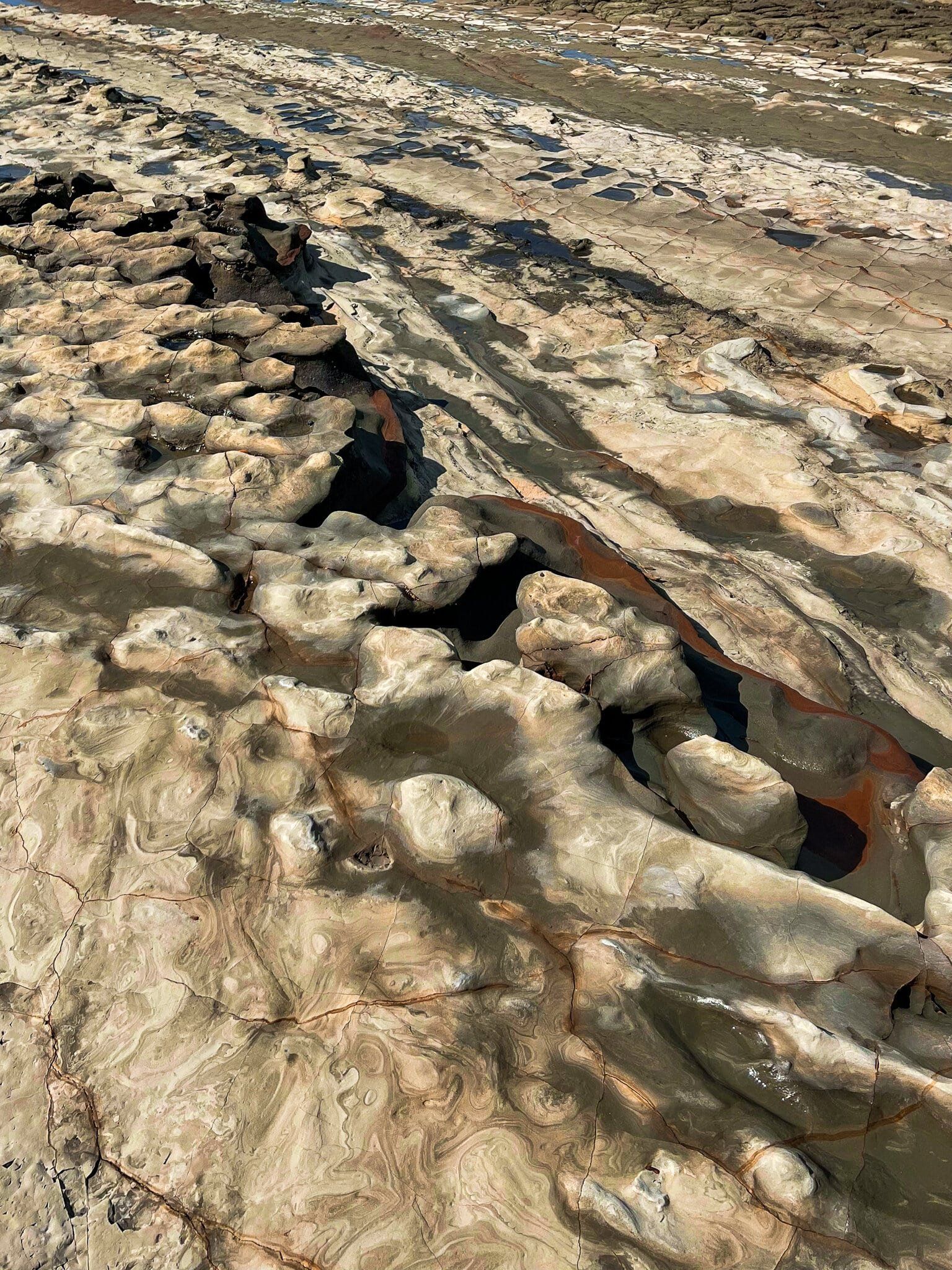
As with many parts of this coastal walk, the variation in the rock formations, colors, and signs of erosion are particularly interesting.
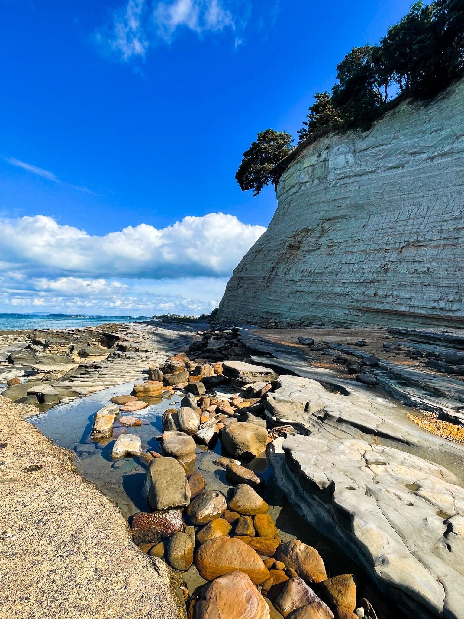
St Leonard Beach
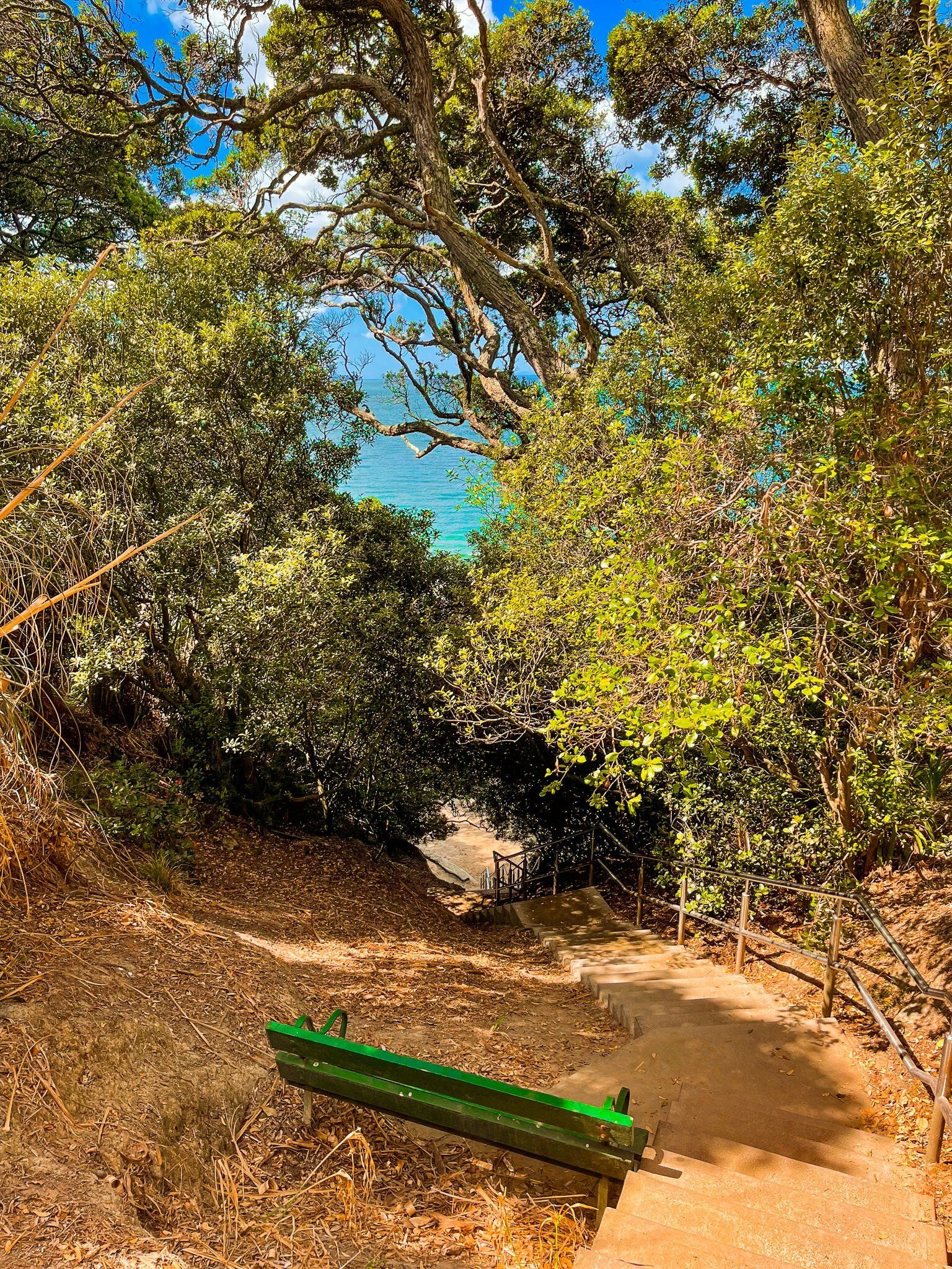
St Leonards is a relatively inaccessible beach protected by high cliffs so you can’t drive right up to it. Consequently, it was a popular nudist beach. But this isn’t an obvious feature anymore. You can get to the beach directly, down a steep set of stairs from the end of St Leonards Road or from Narrow Neck or Takapuna Beach at low tide. At high tide, the beach area is very small, but it becomes expansive as the tide goes out.
It is backed by quite spectacular high cliffs and some colourful rock formations. The perfect palace if you want a relatively quiet safe city beach to hang out at.
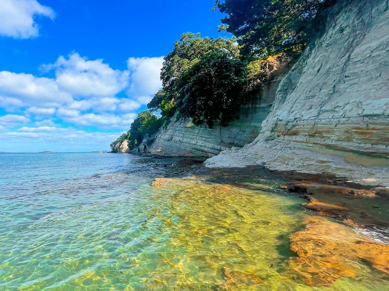
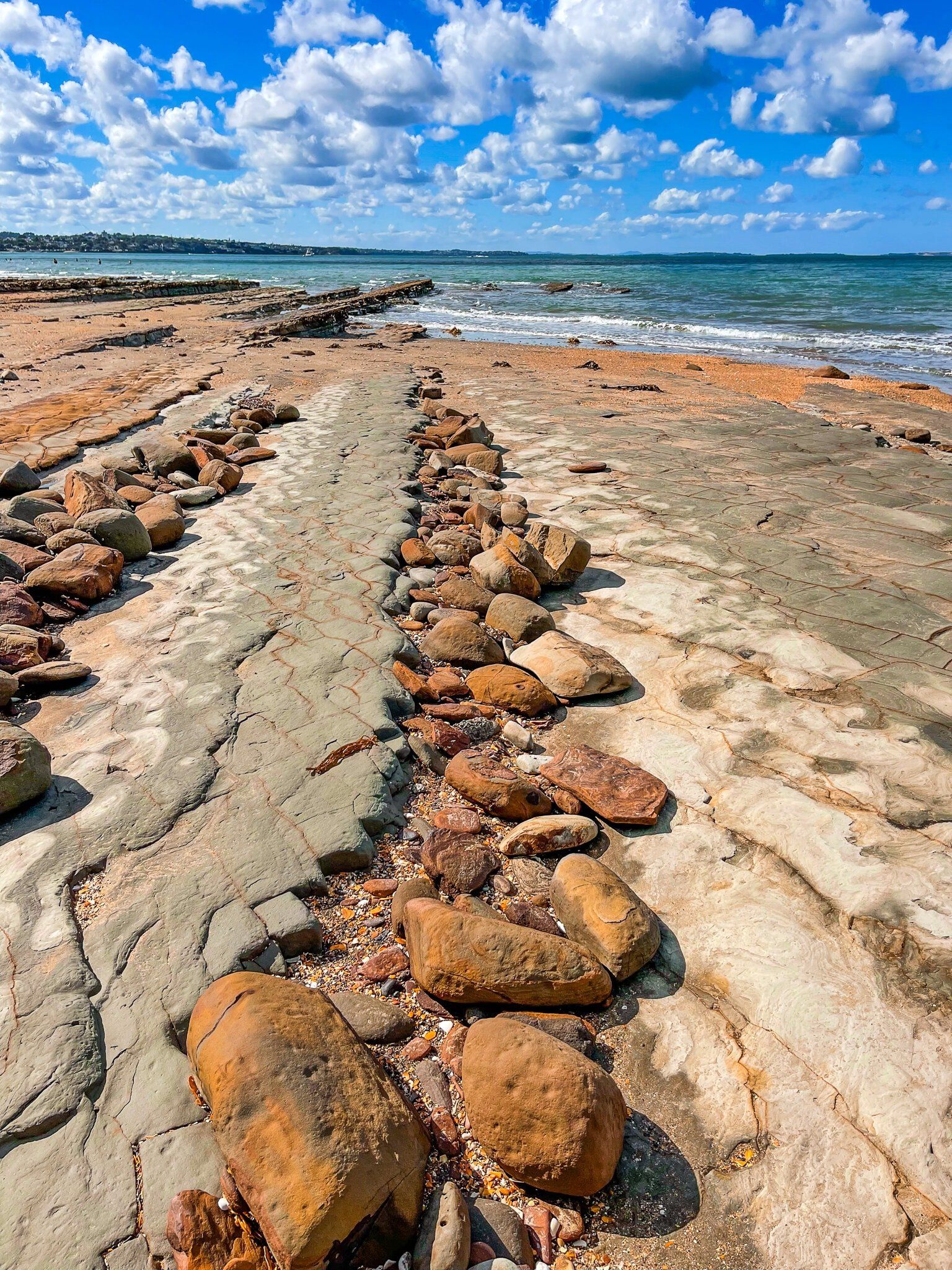
St Leonards Beach to Takapuna Beach
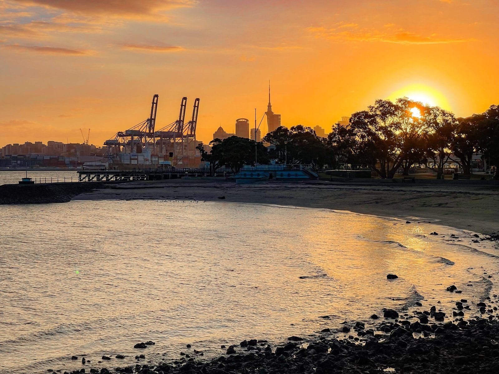
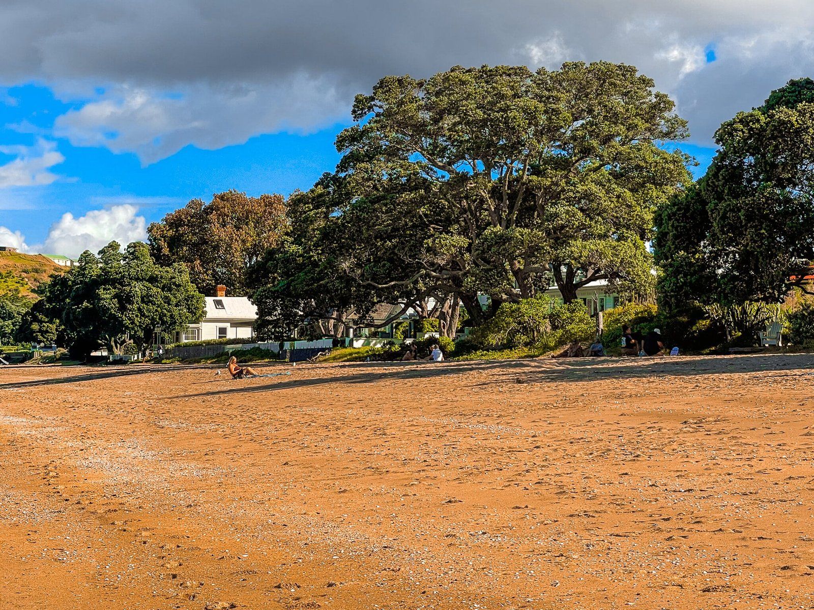
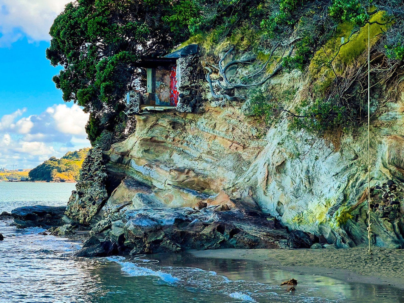
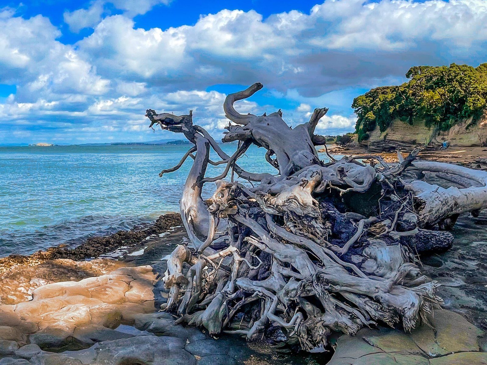
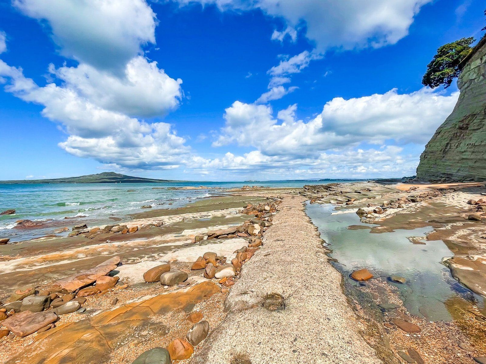
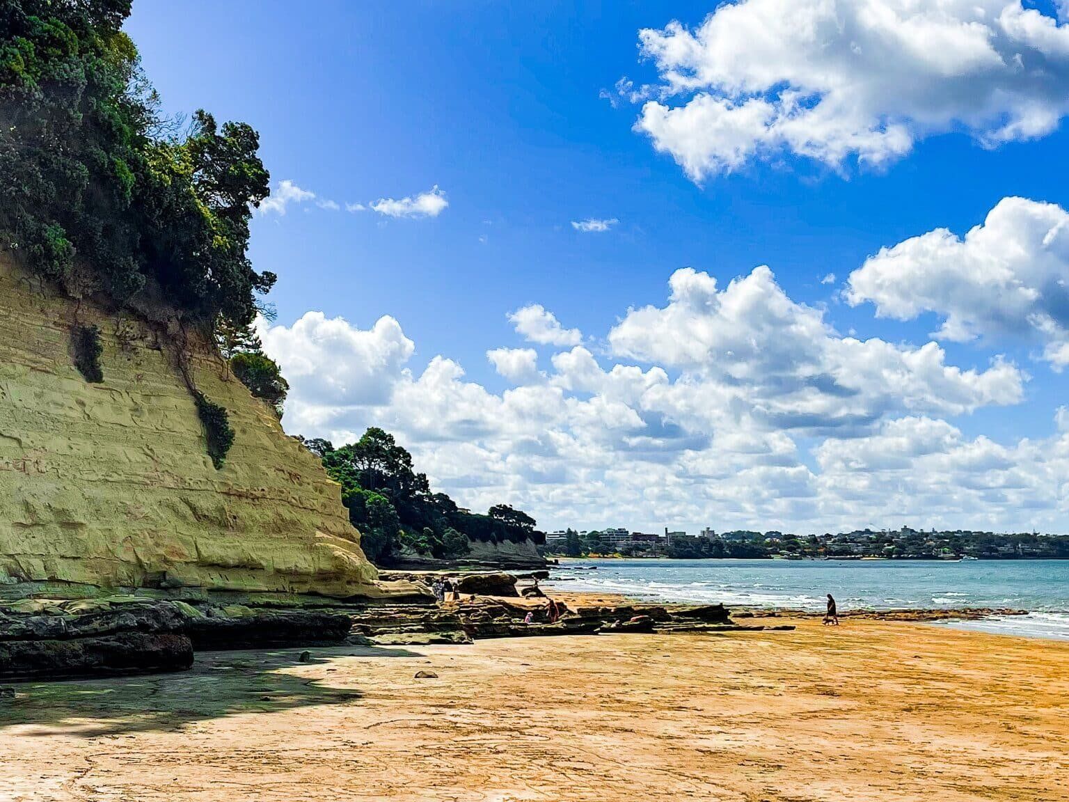
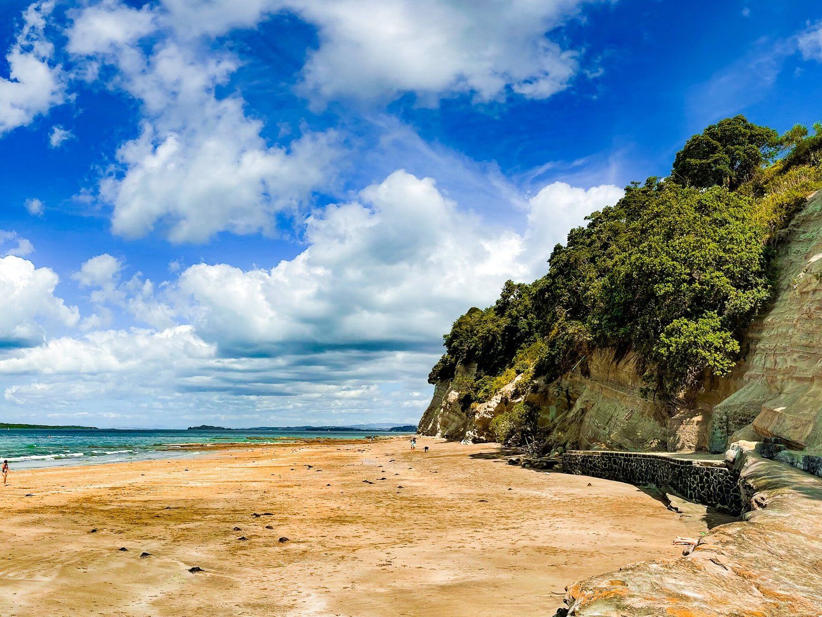
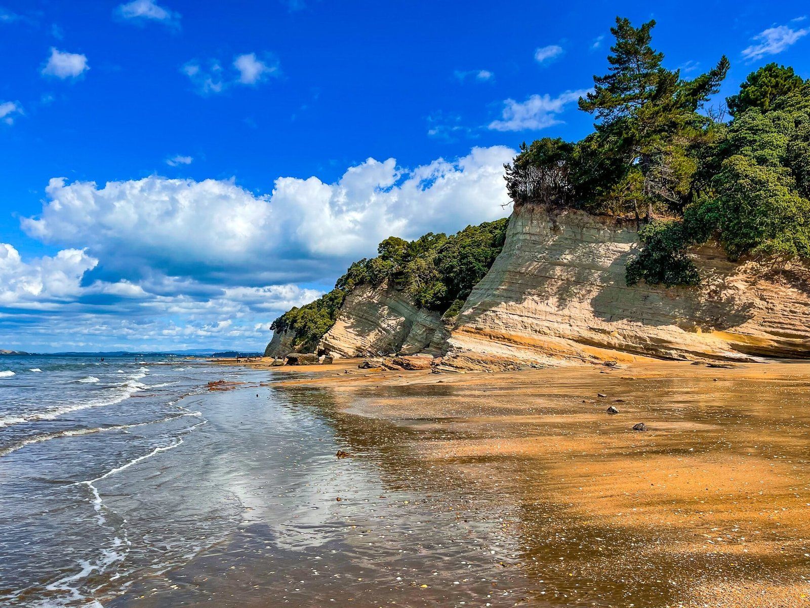
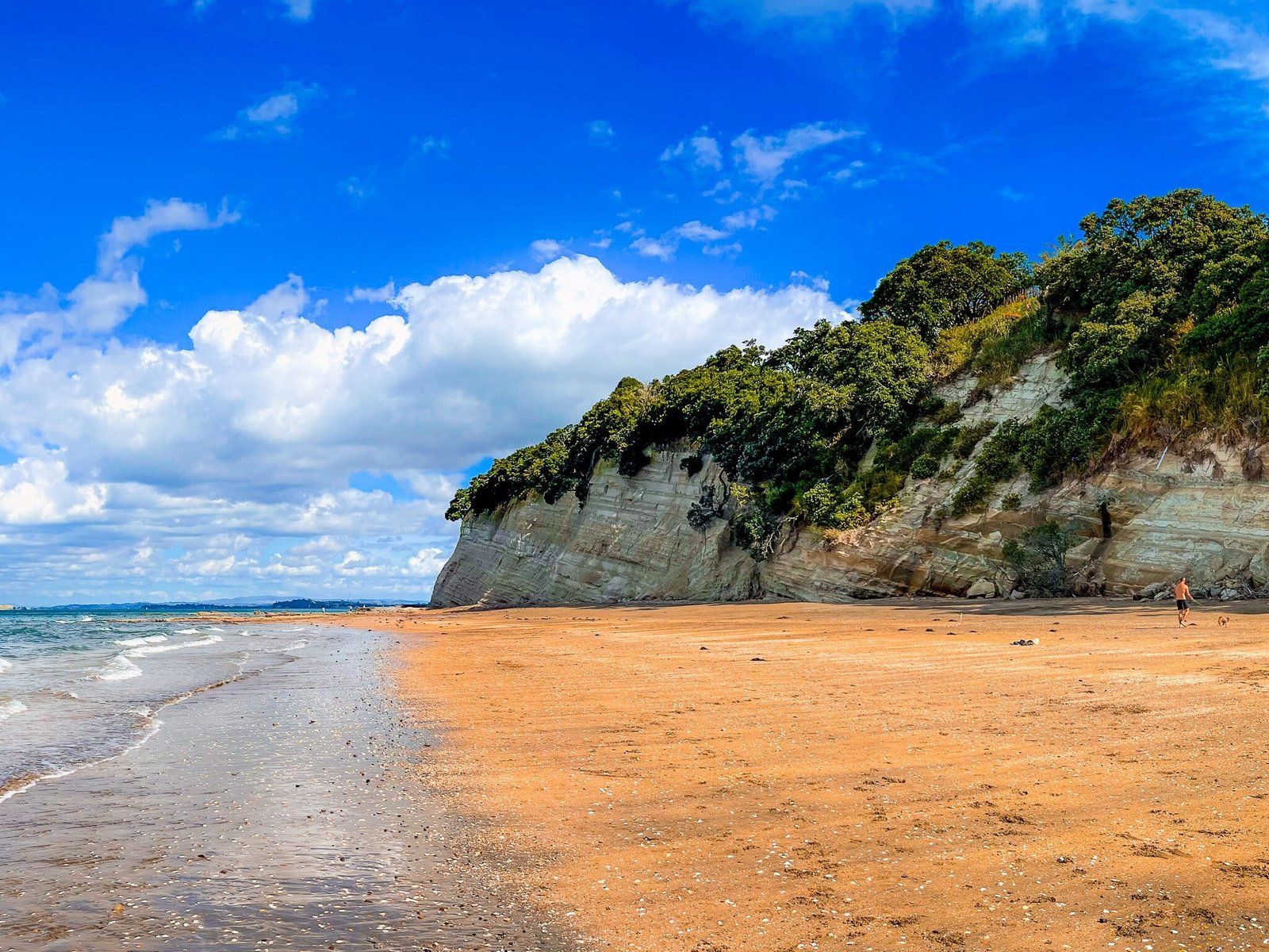
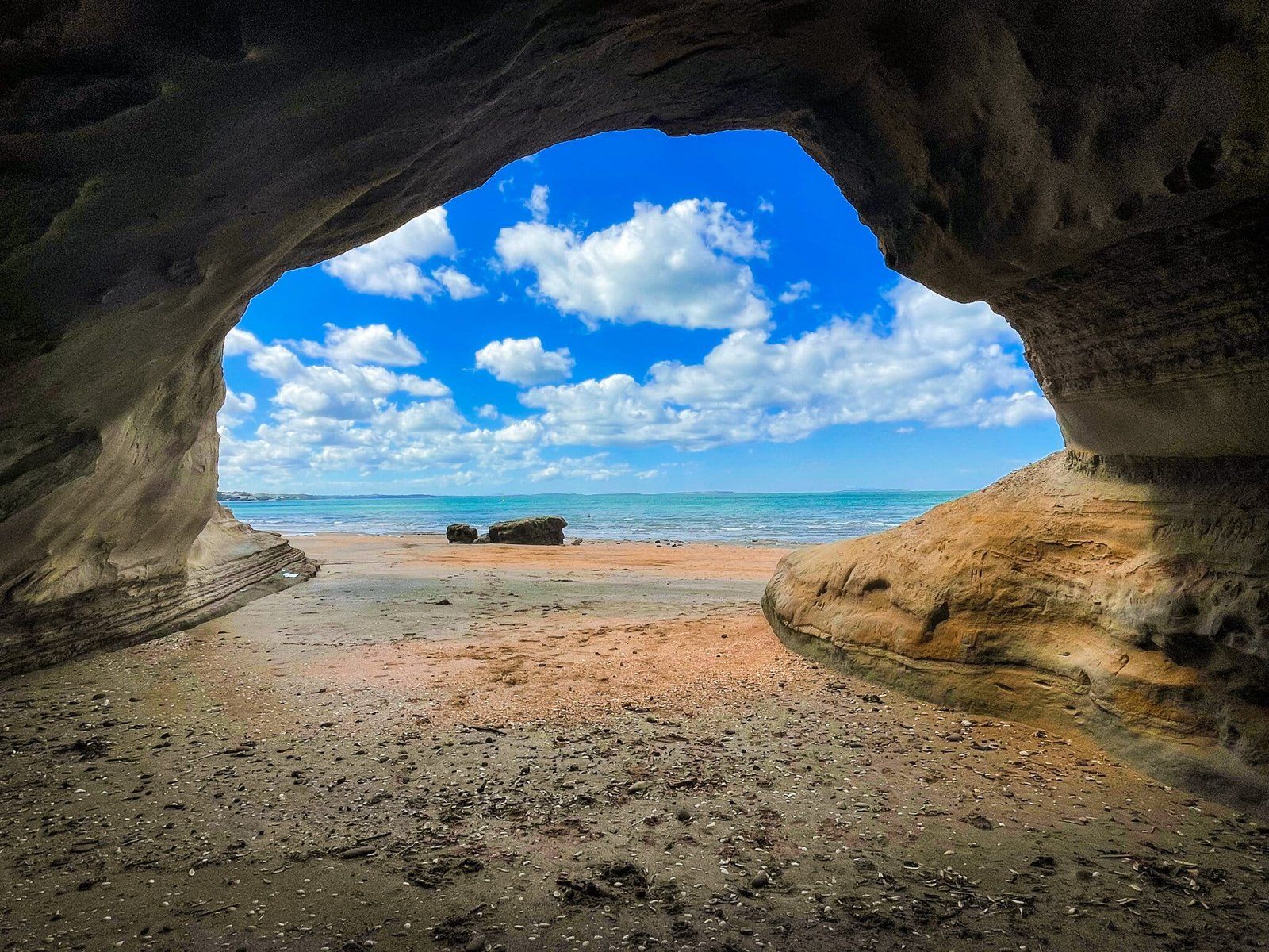
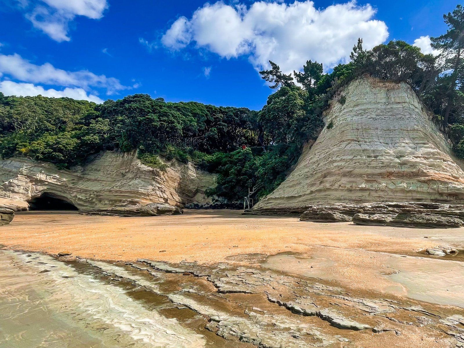
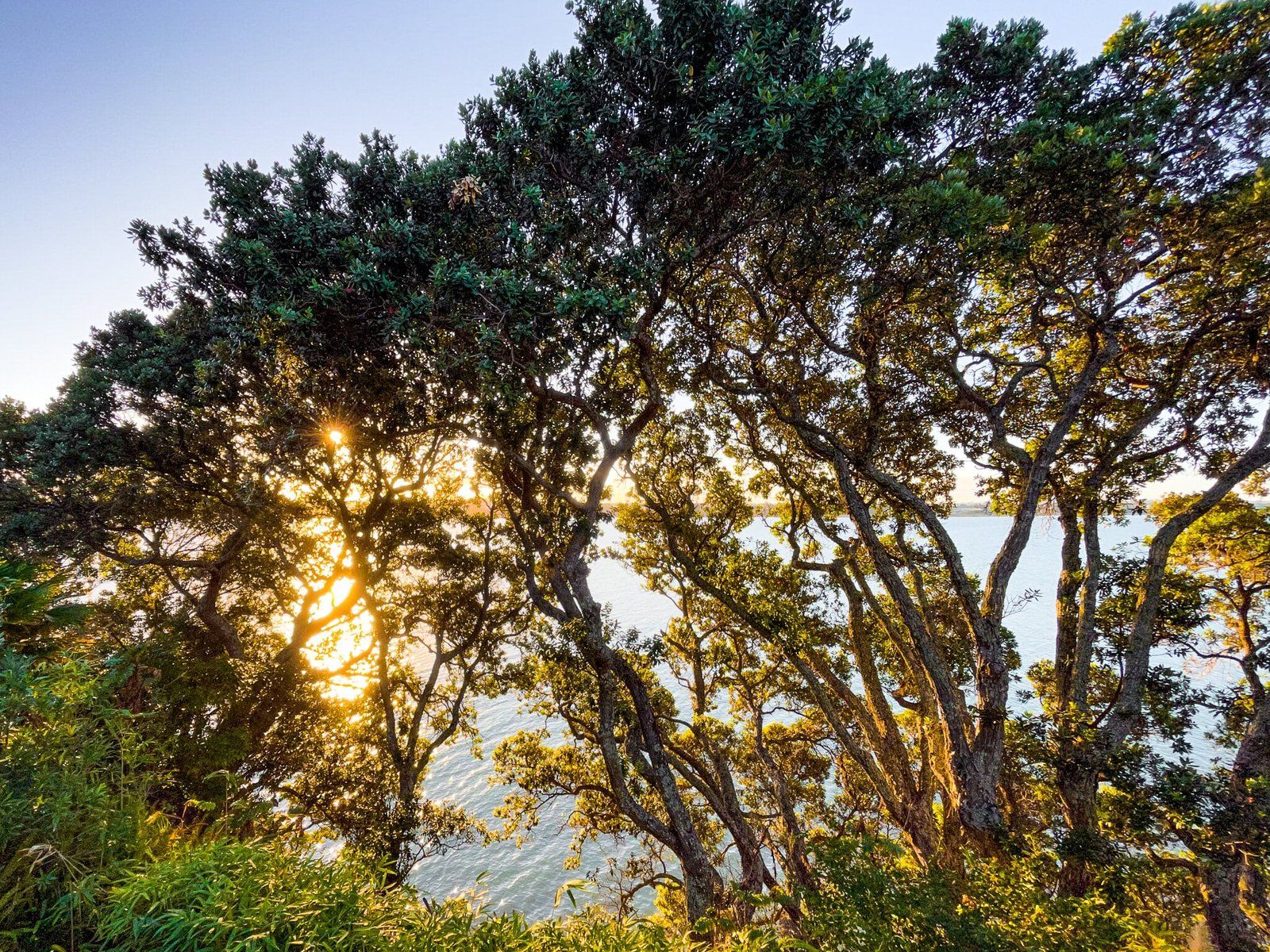
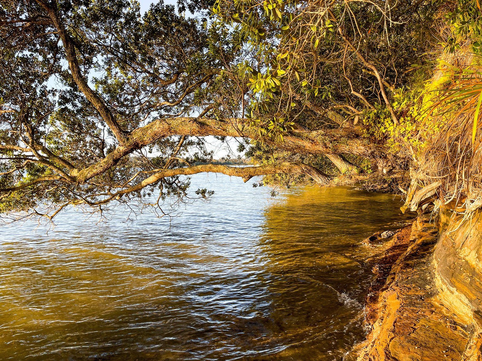
Once the tide is out far enough, you can easily access the bay between St Leonards Beach and Takapuna Beach. This is arguably one of the best sections of the North Shore Coast Walk. It includes spectacular white to gold coloured cliffs, topped by pohutukawa trees, fabulous muticloloured and oddly shaped rock formations, multi-tiered rock platforms, golden sand and safe swimming. There is even a bonus cave.
It is also surprisingly quiet compared with next door Takapuna Beach. It seems that most don’t bother to come around the rock platforms at the southeast end of Takapuna Beach.
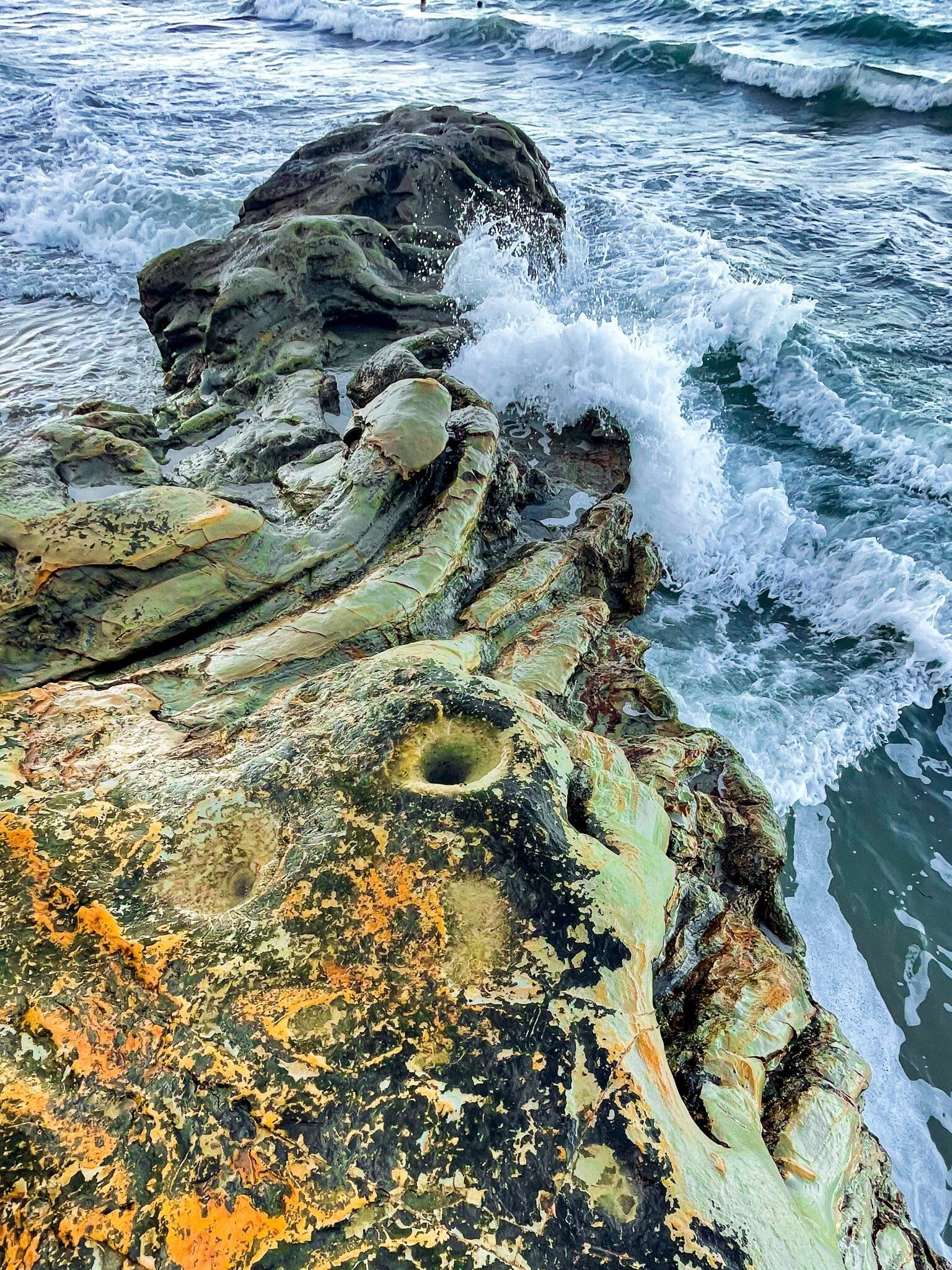
Rock Formations
Bonus rock formation pics! The colours and variations of the rocks below the cliffs on the North Shore Coast Walk are a definite feature. This is especially true on the section between Takapuna Beach and Narrow Neck.
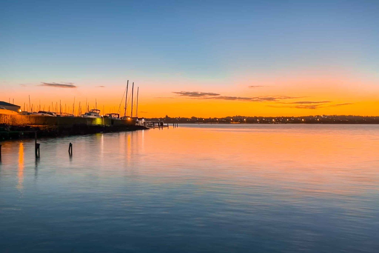
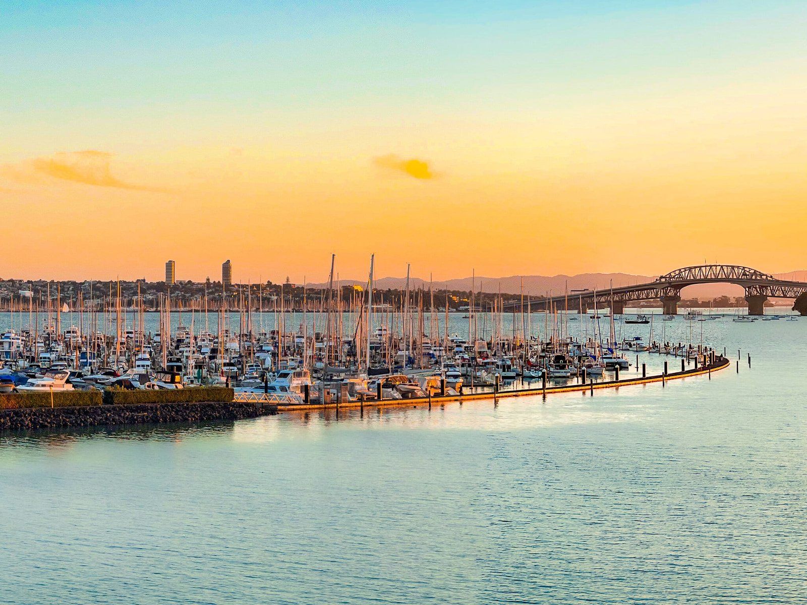
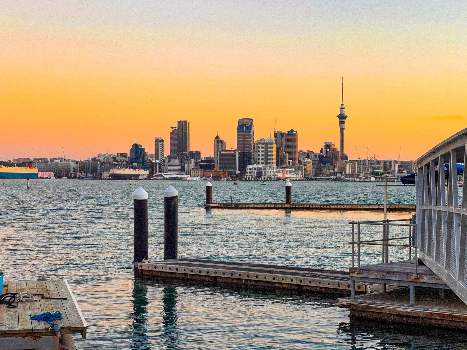
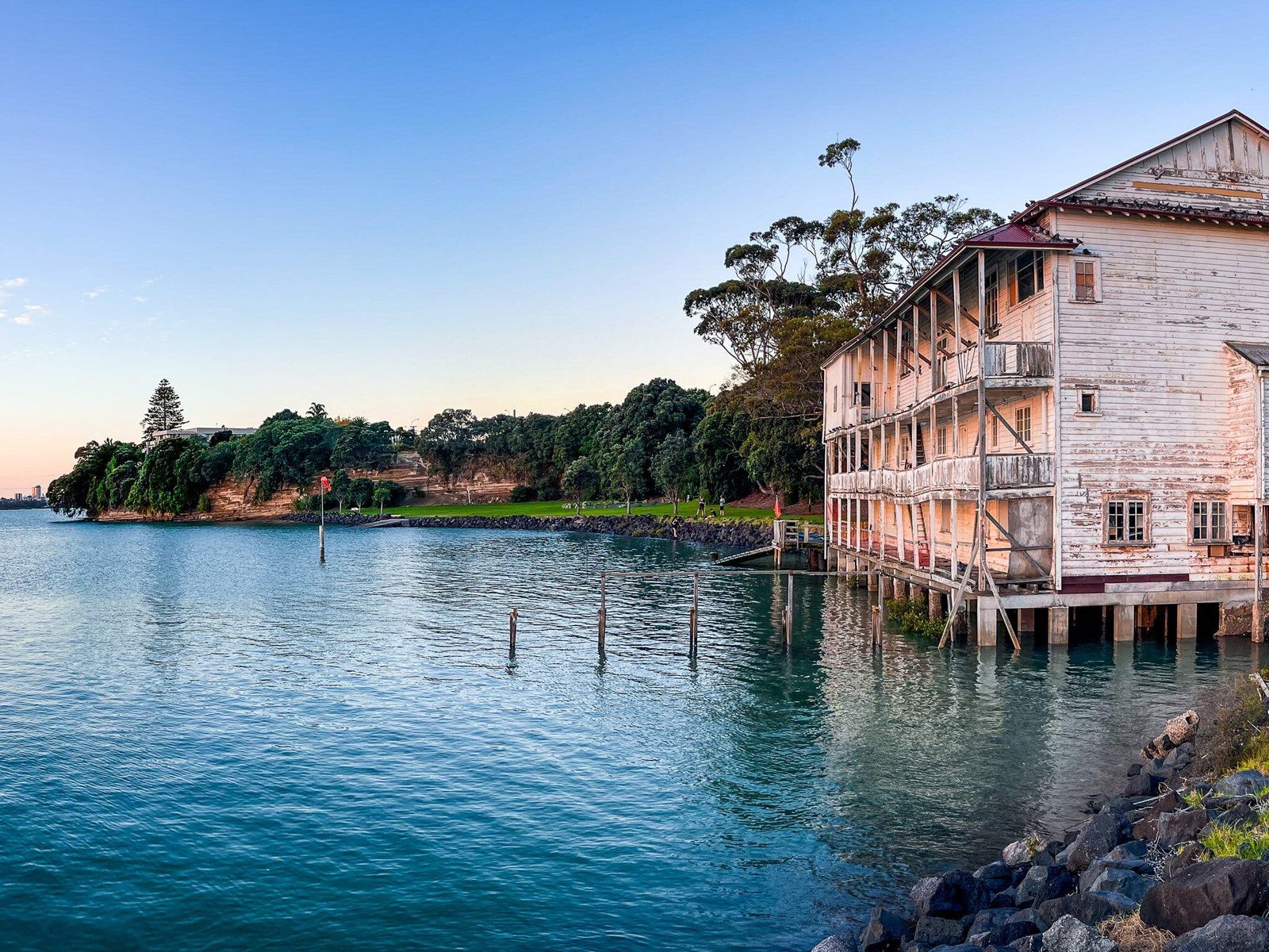
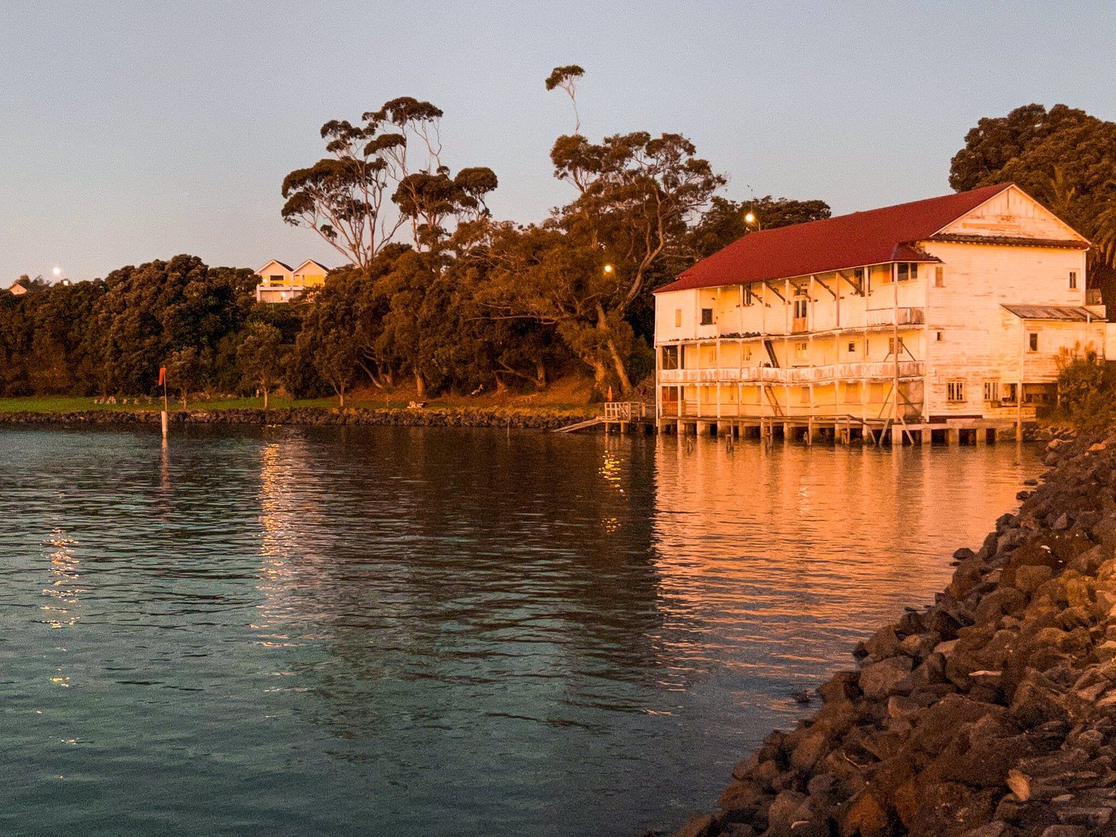
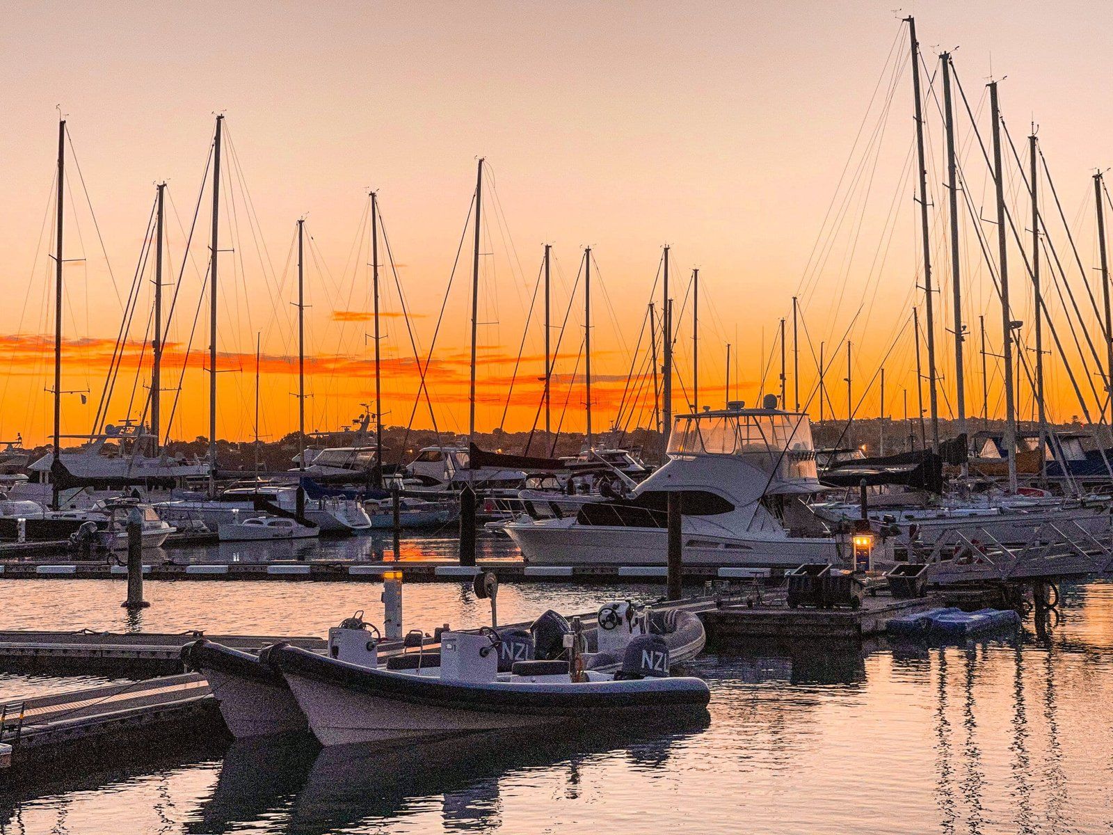
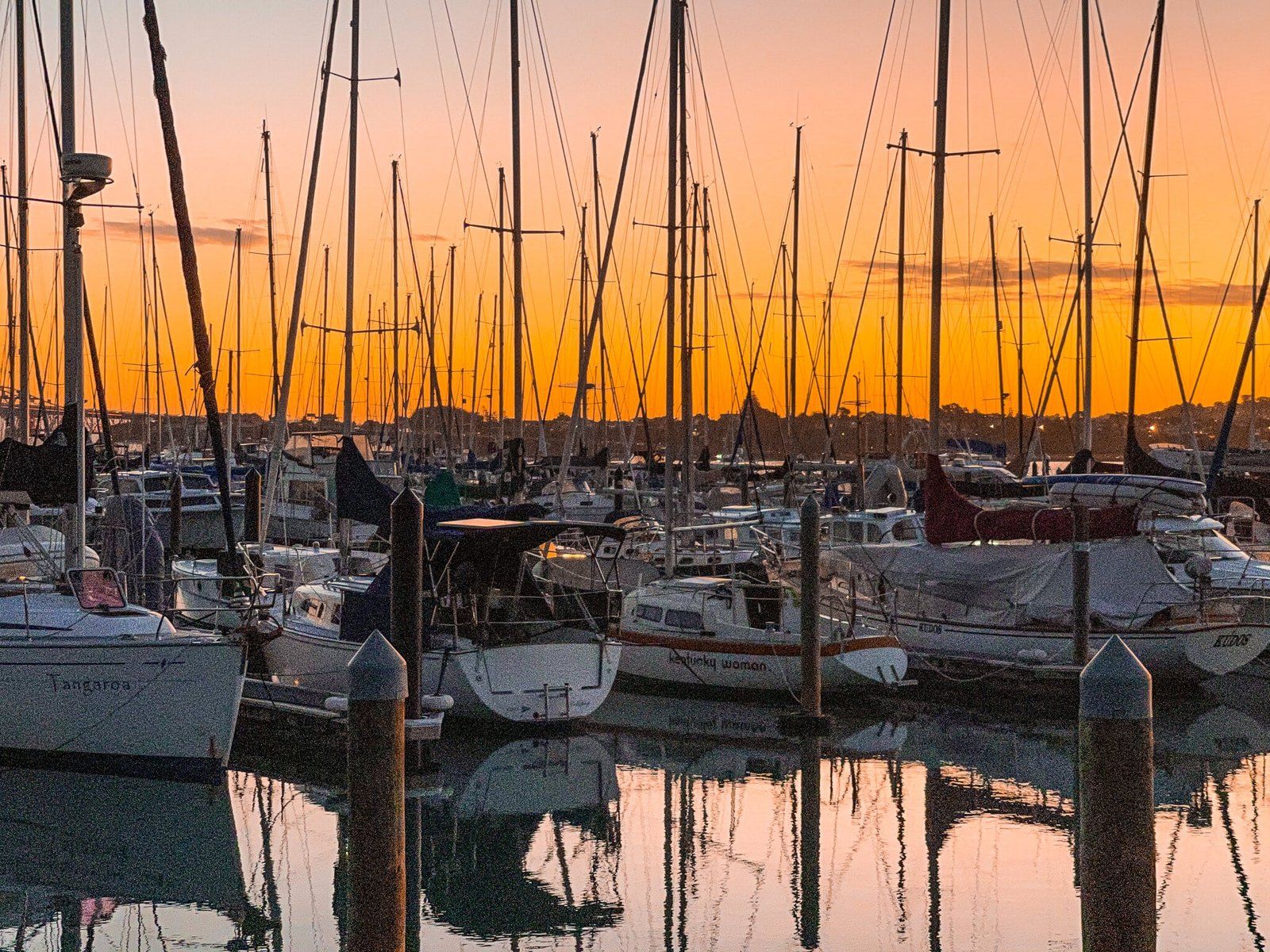
Bayswater
Bayswater can also be accessed by ferry from downtown Auckland. Service is half hourly during peak times and hourly off peak. The main attraction is the marina, adjacent park and views towards the Harbour Bridge and downtown Auckland. The marina faces west, so it is especially attractive at golden hour.
There is a walkway to Devonport that avoids some of the suburban streets as well, but it’s not particularly compelling, unless you are looking for some extra steps.
Want more Auckland Trip Ideas?
Check out our blogs on Part 1, Part 2, Part 3 and Part 4 of the North Shore Coastal Highway.