
The North Otago Coast on the Pacific is spectacular and largely overlooked by travellers. Instead of taking State Highway 1 south of Ōamaru, head to the coast south of Cape Wanbrow along Beach Road. You can then follow this road to the small beach town of Kakanui and continue along the coast on Waianakarua Road to Te Hakapureirei Beach.
This route will have you taking in Kakanui Point and Campbells Bay, Ōrore All Day Bay, Bridge Point and Te Hakapureirei Beach. Shortly before the Waianakarua River Mouth, the road heads inland to the west to connect with State Highway 1 north of Hampden.
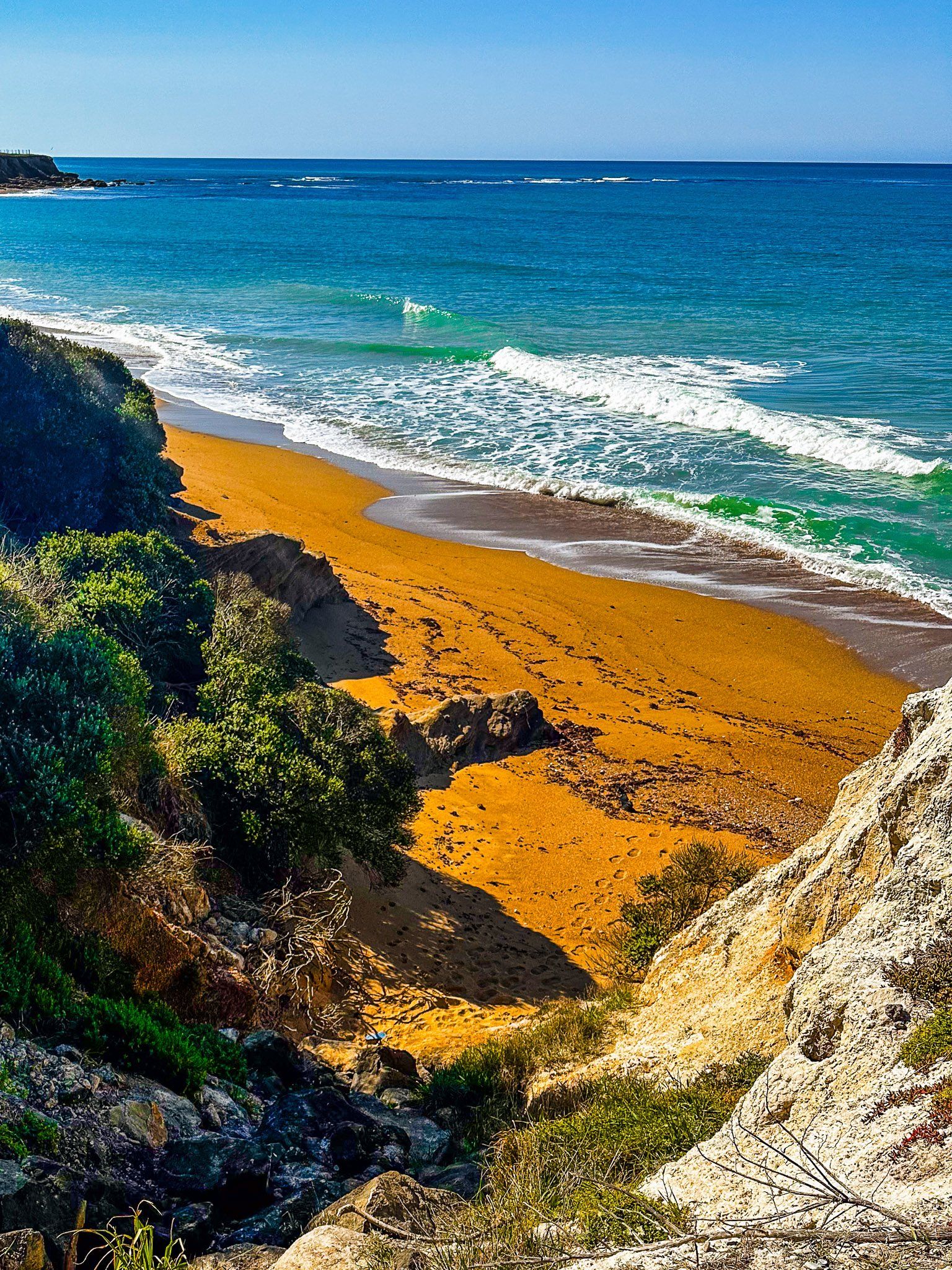
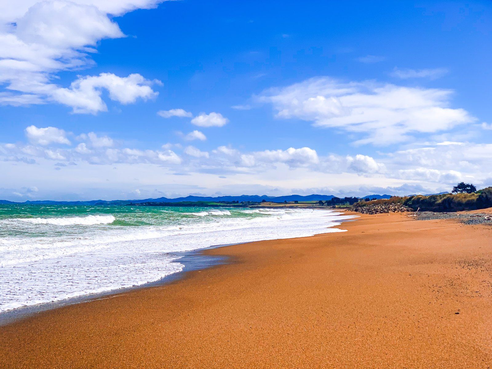
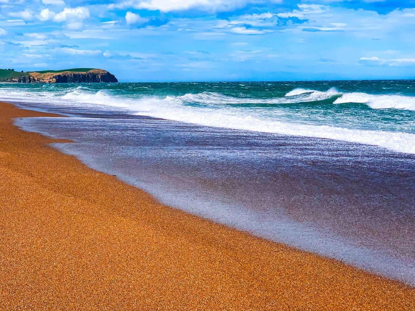
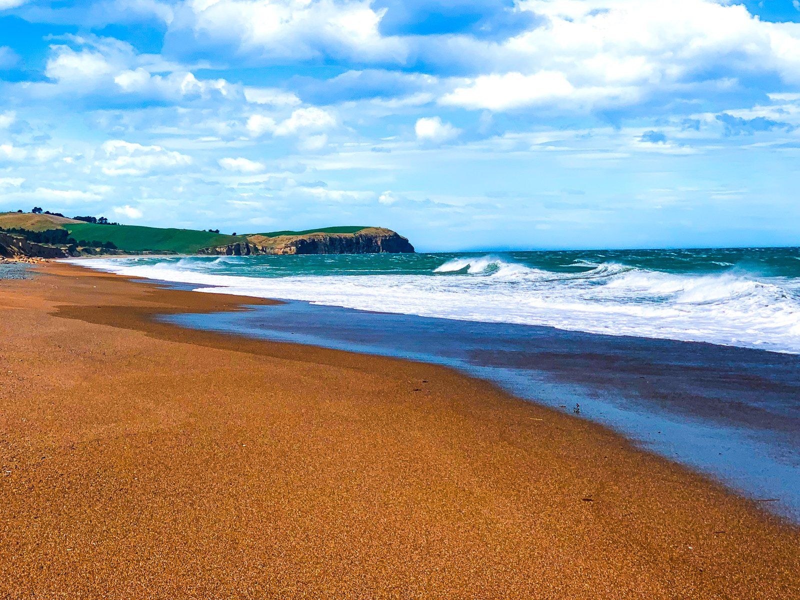
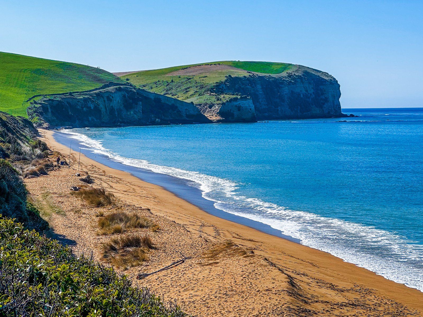
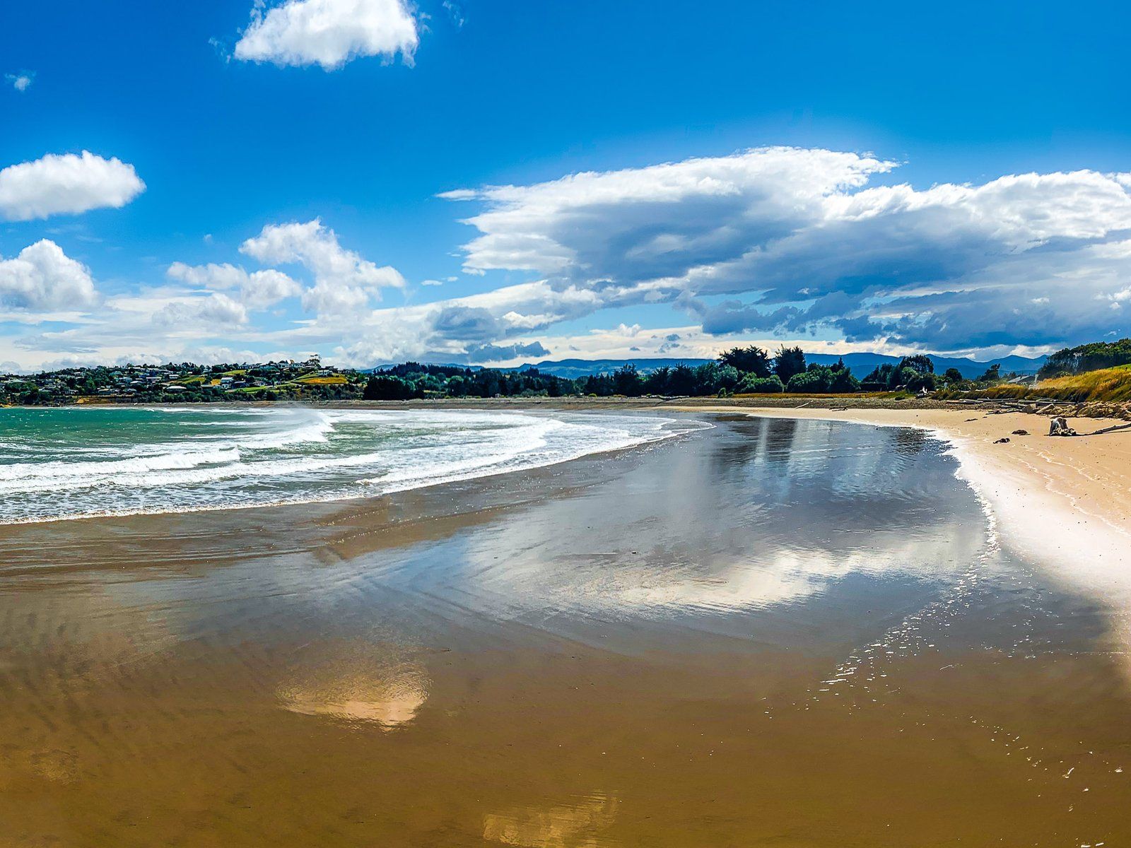
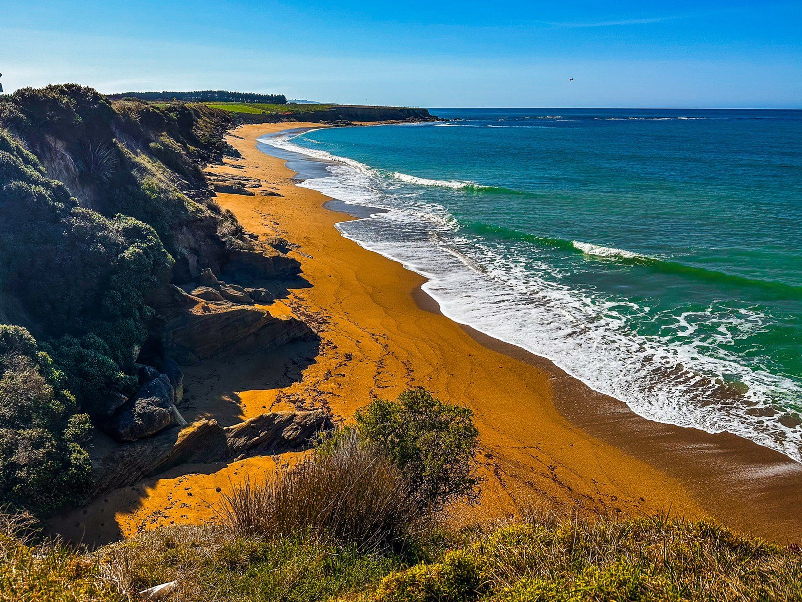
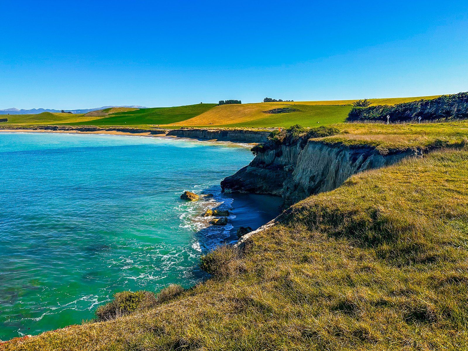
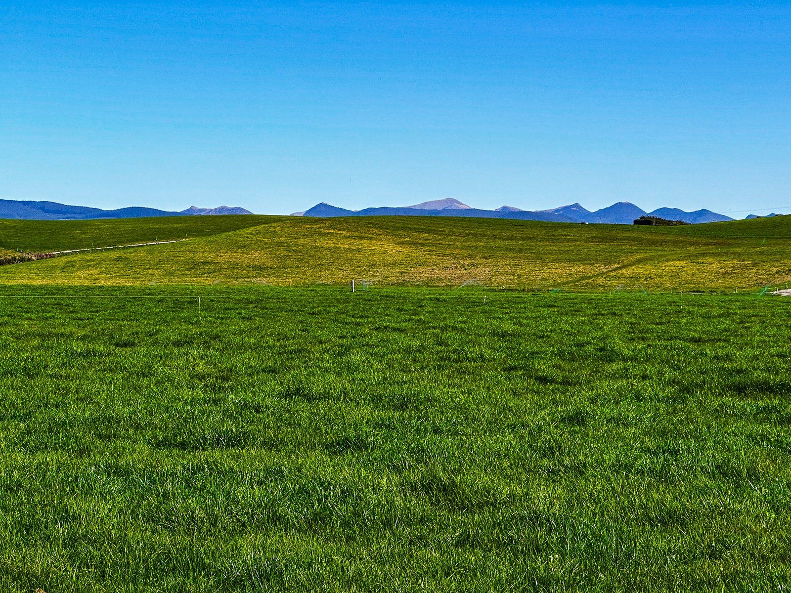
This trip is short at only 25 km, with good quality sealed roads and beautiful and easily accessible beaches. They are typically fringed by mostly green pastoral farmland. At the northern end, stunning gold to orange sand predominates, reflecting the warm colours of the eroding coastal cliffs. Further south, the ancient eroding limestone cliffs make for less colourful but still stunning beaches.
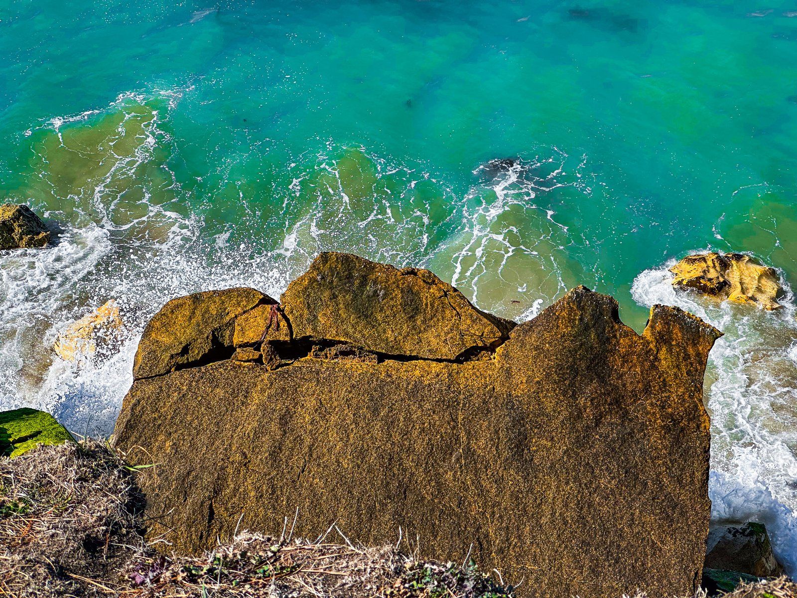
The Points on the North Otago Coast typically represent the eroded remnants of ancient volcanoes dating back more than 30 million years. There are some unusual rock formations around Kakanui Point and a natural arch at Bridge Point. There is a commercial campground in Kakanui, and freedom camping is possible in other locations. Take care close to the cliffs!

Kakanui Beach
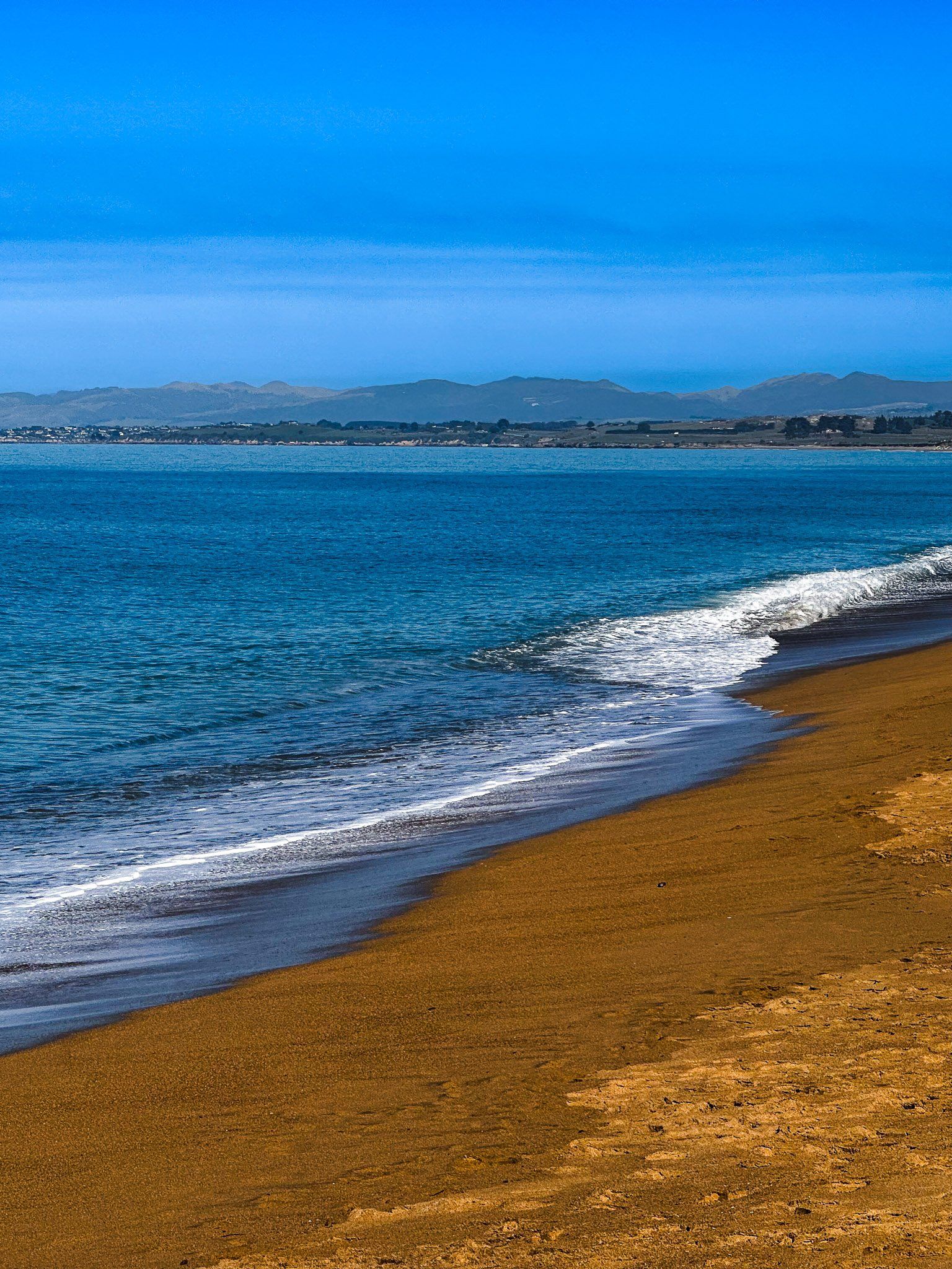
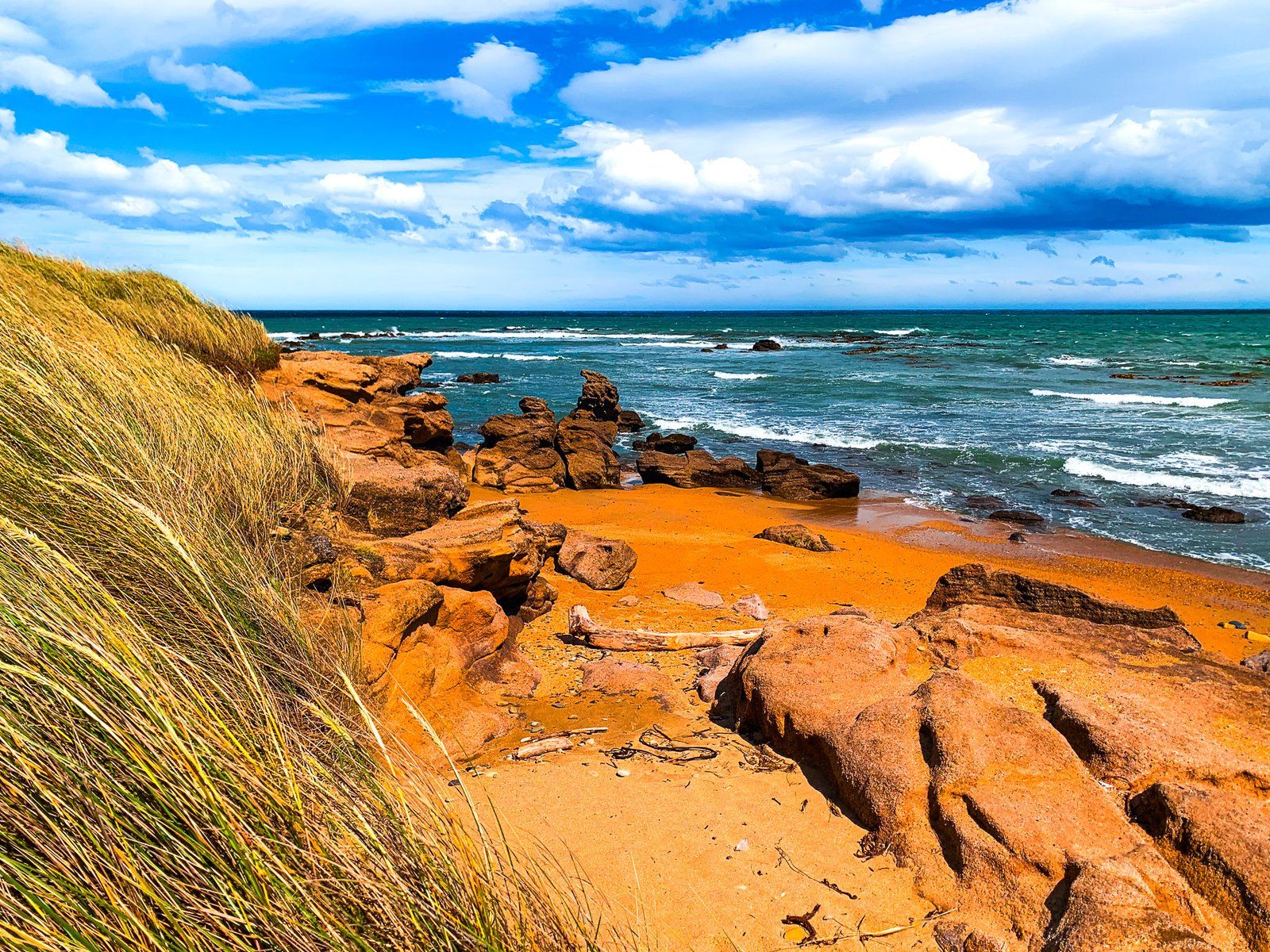
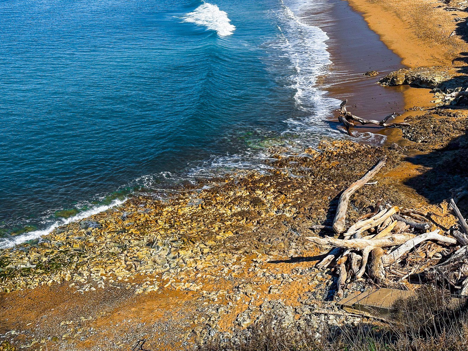
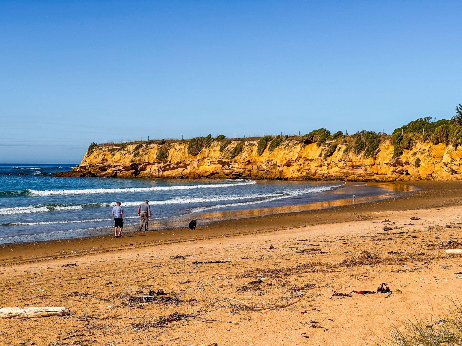
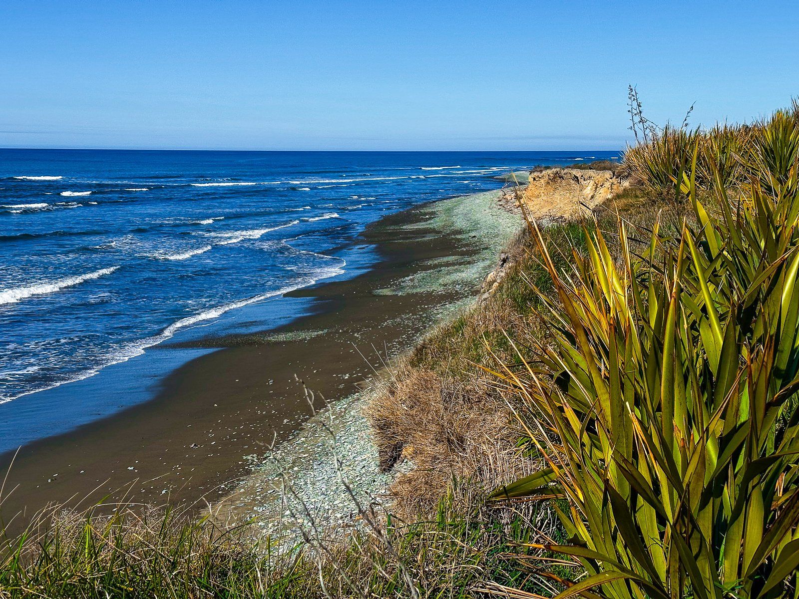
Beach Road, from south of Ōamaru, runs for five km alongside a sweeping bay with stunning gold and orange sand on the North Otago Coast. The bay and beach appear to have no official name on the map, but there is a parking area at the south end of the beach called “Kakanui Beach Reserve”. Accordingly, we refer to this beach as Kakanui Beach until we have a better suggestion.
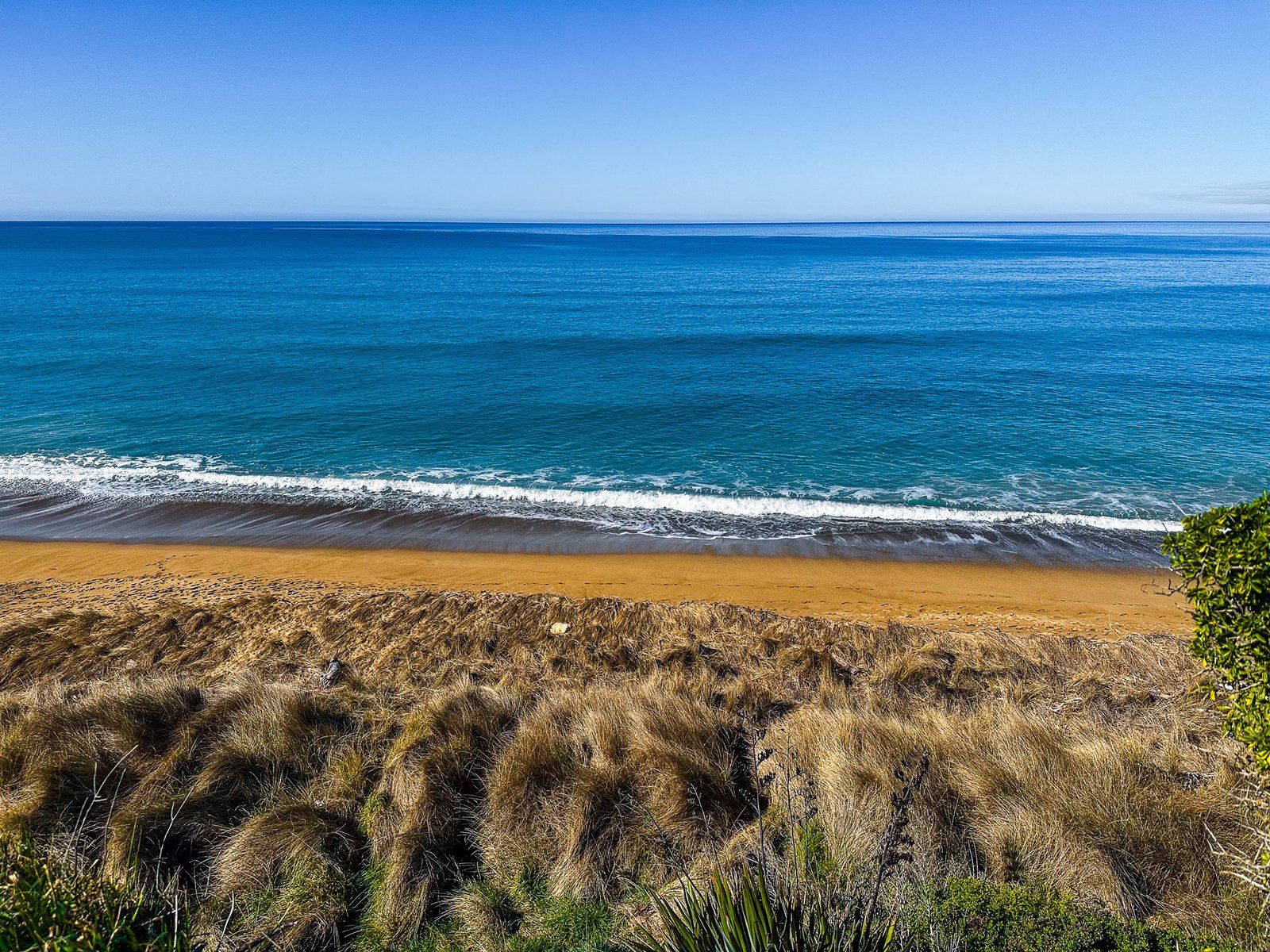
In any event, there is roadside parking at the north end of the beach with a short access path between the modest cliffs and dunes and the larger car park at the south end reserve. There may be other access points, but parking is likely an issue. Once you are there, you’ll be unlikely to encounter more than a few other people.
Take a picnic and indulge in the normal beach things. If you are tempted to swim, stick to an incoming tide with low surf in good weather, and remember you are on the Pacific Coast.
Kakanui
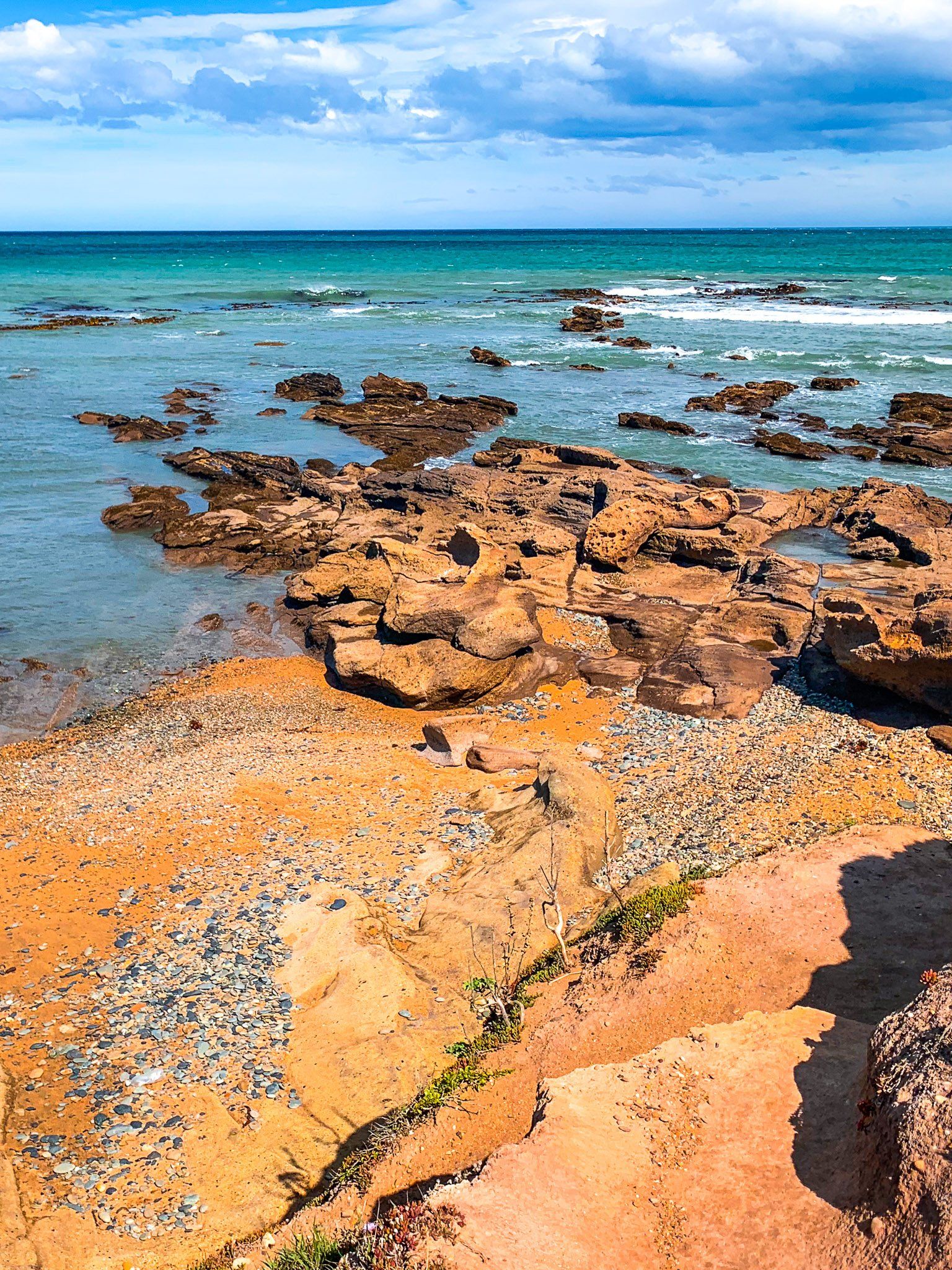
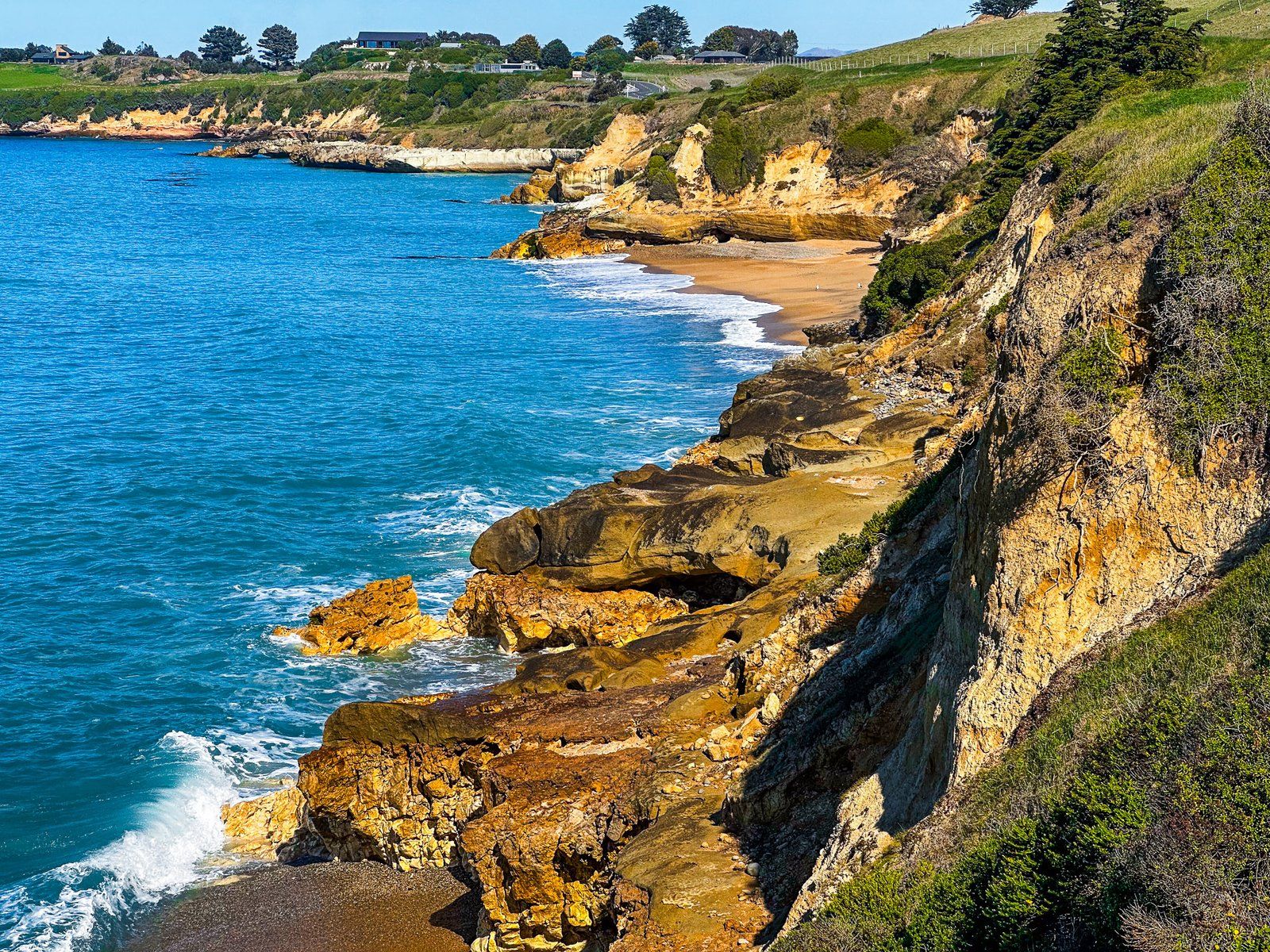
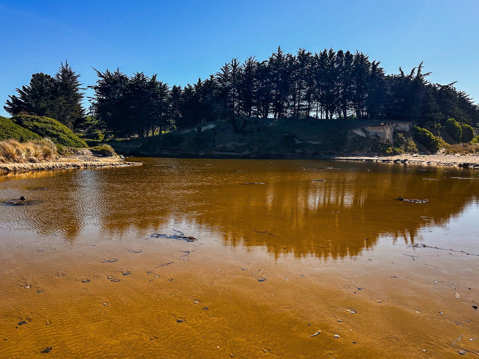
Kakanui (also Kākaunui) is a small beach community at the south end of Beach Road, about eight km from Ōamaru. As you enter the town from the north, the coast shifts from gold to orange sand to colourful, eroding cliffs and rocky coves. There is no obvious place to park before the town, but it is feasible on the side of the road.
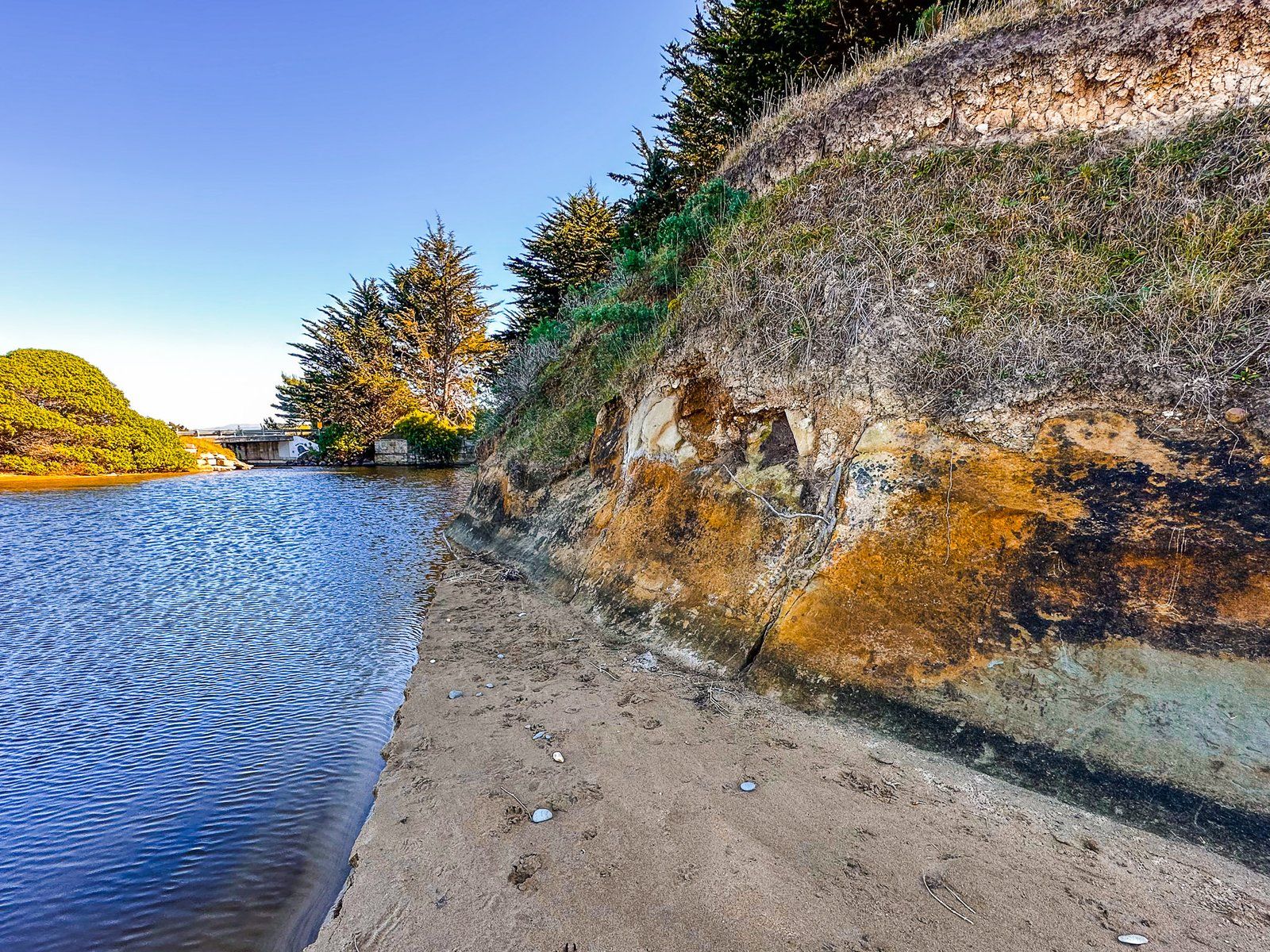
After entering the town, turn left onto Kakanui Road. There is a small reserve and parking area at the end, with access below the cliffs to the north at low tide. You can also walk south along a pretty crescent-shaped 700-metre beach in front of the town to the Kakanui River estuary and mouth. Alternatively, head back along Kakanui Road and turn left onto Cobblestone Road. The beach and river access are at the north end of the road.
The original Māori settlers named the Kākaunui River for a crew member of their ancestral waka Araiteuru. It was a pā site and important kāika mahika kai, or food-gathering place.
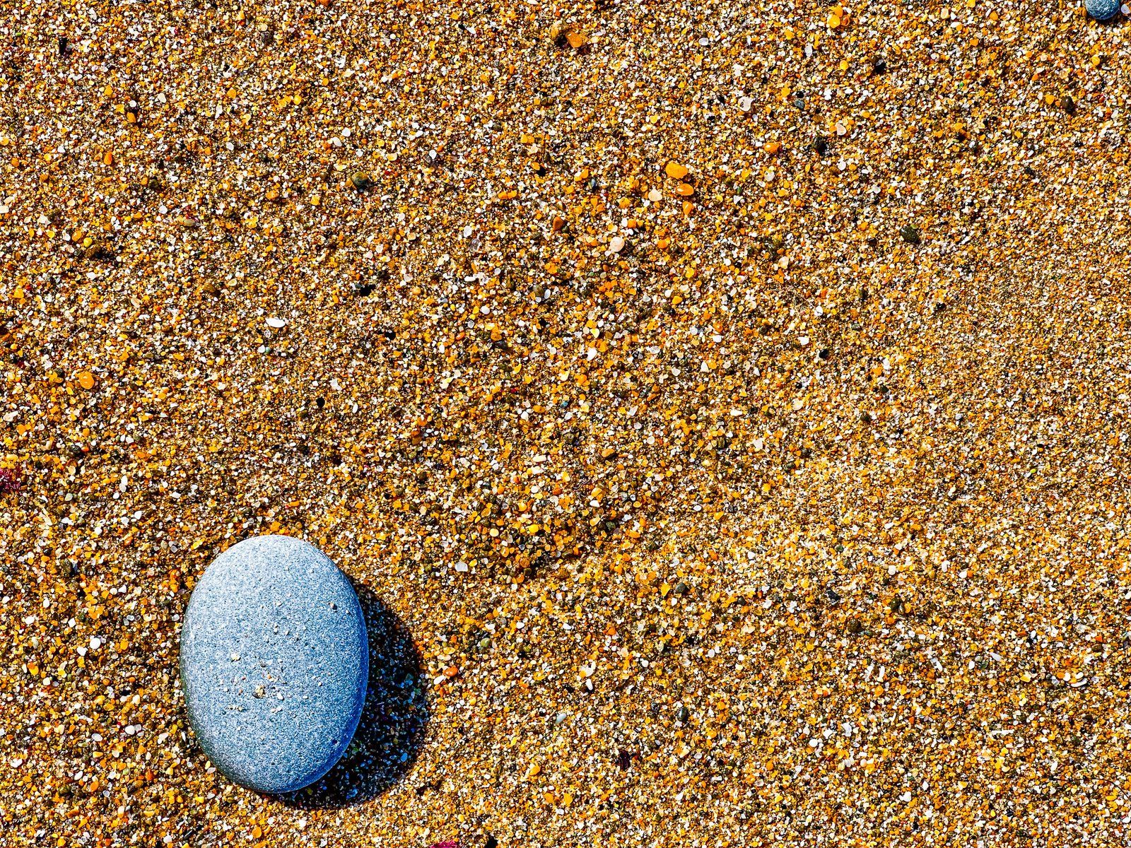
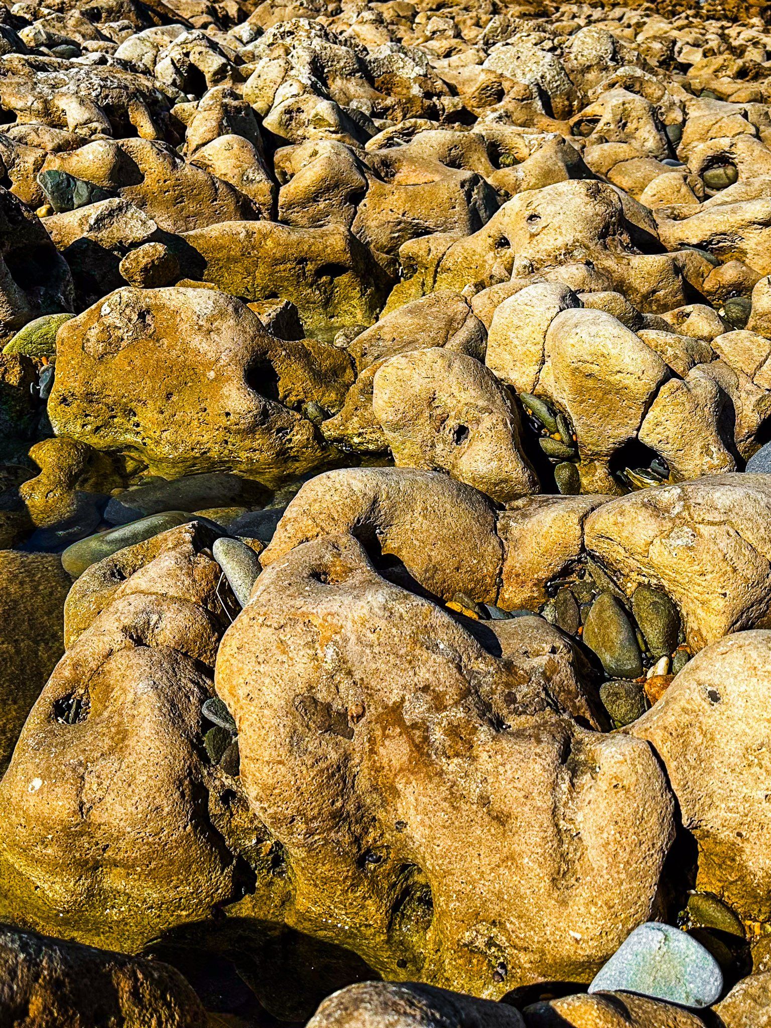
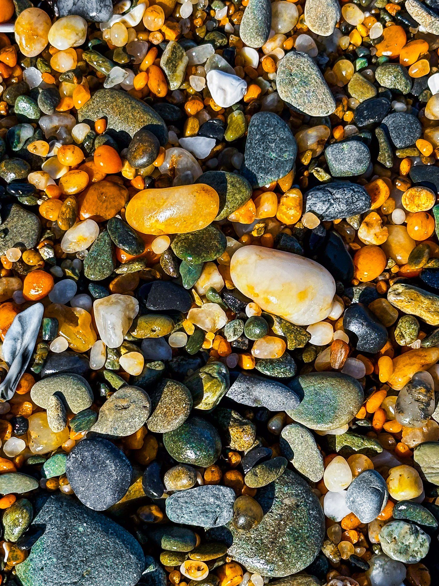
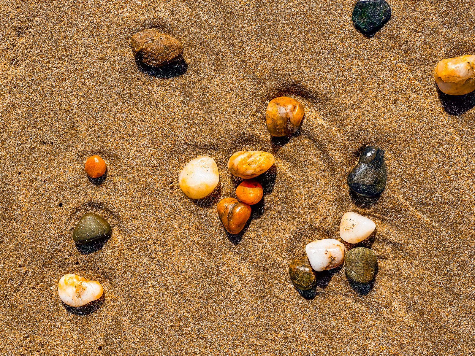
It is also geologically interesting. On the south side of the river mouth is Kakanui Point, a remnant of a 34 million year old volcano. These remnants on the North Otago coast are some of the oldest geological features in Aotearoa. At low tide, you may get lucky and find white rocks that contain small red garnet crystals uplifted 20 km by the volcano far beneath your feet. There are also examples of rock with orange-green fragments. These come from even deeper, around 30 to 70 km down.
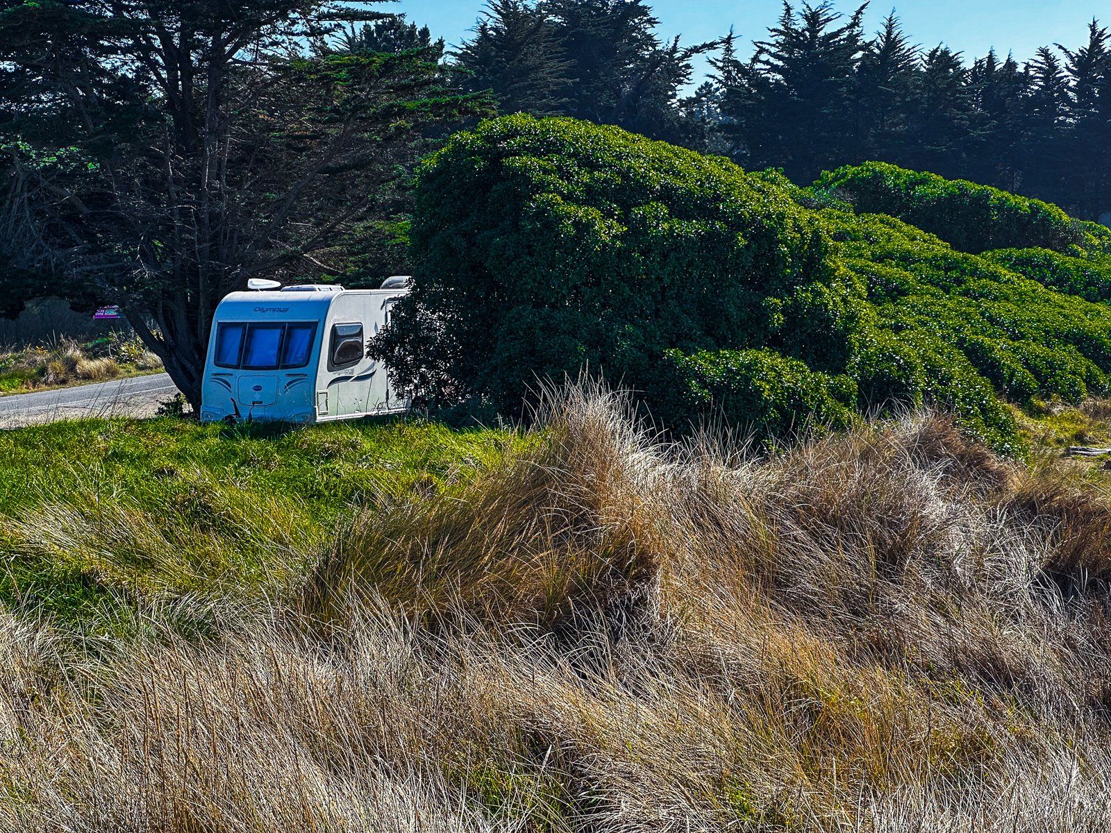
There is also a campground if you want to stay for a day or two. Follow Kakanui Road west through the town, where it changes to Waianakarua Road. The campground is on the left after crossing the bridge over the Kakanui River.

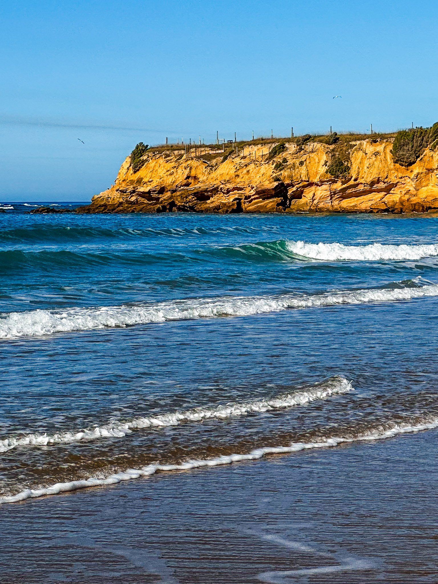
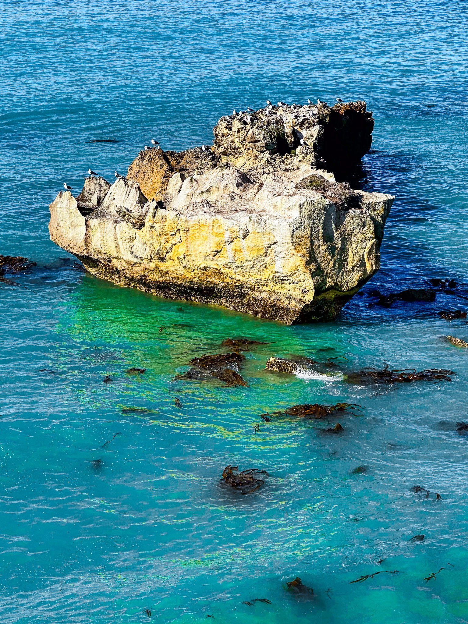
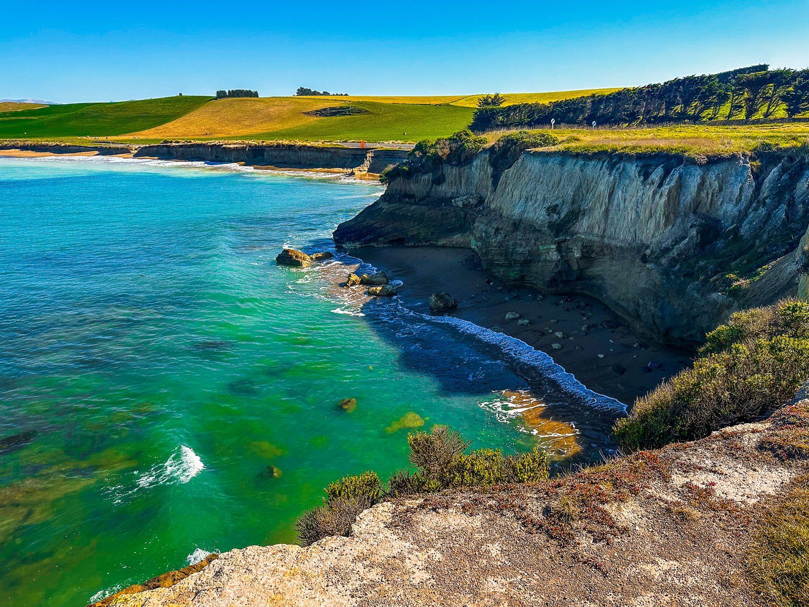
Kakanui Point and Campbell Bay
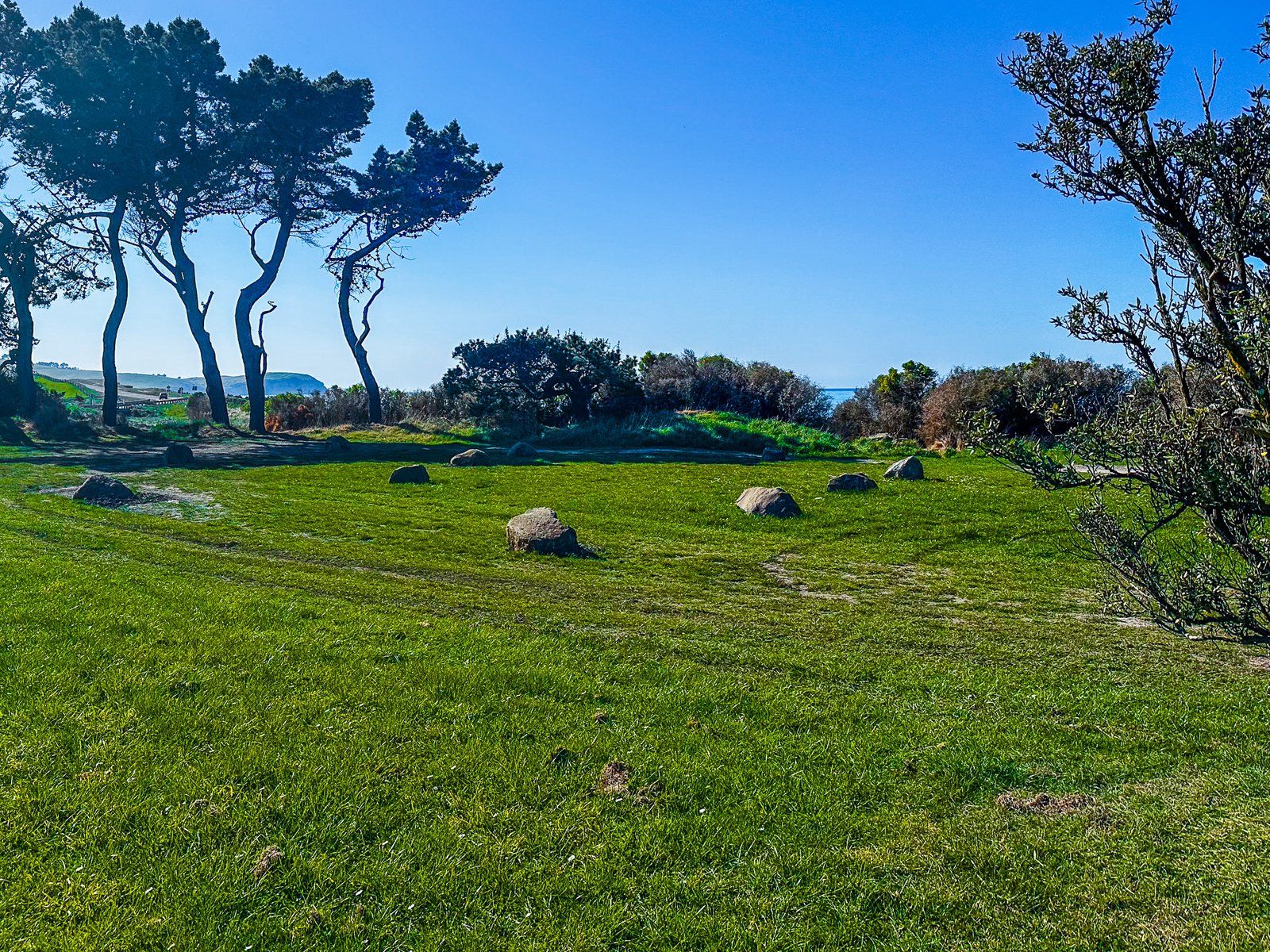
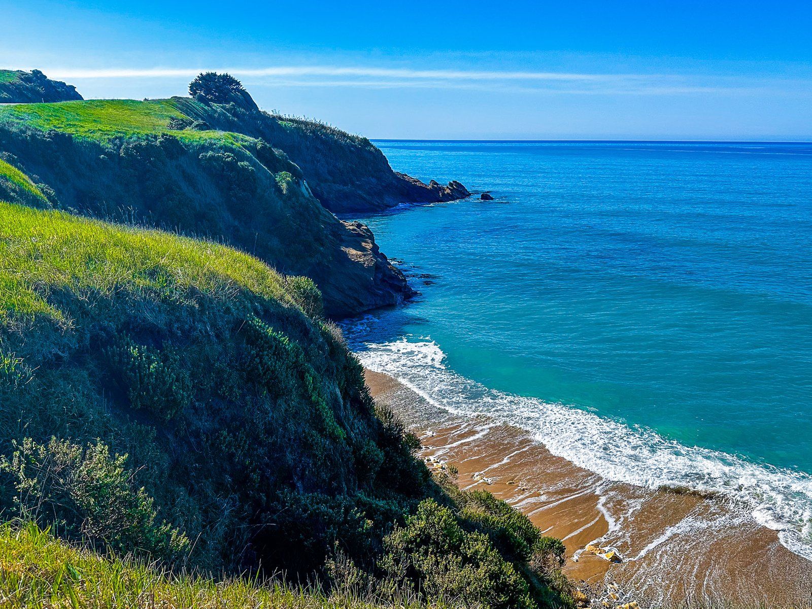
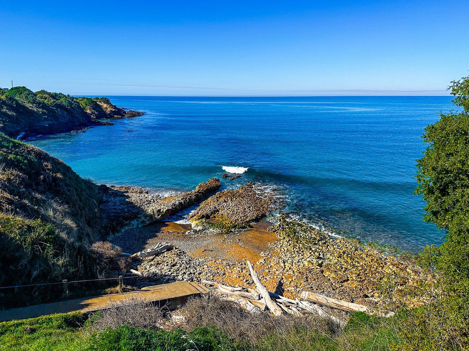
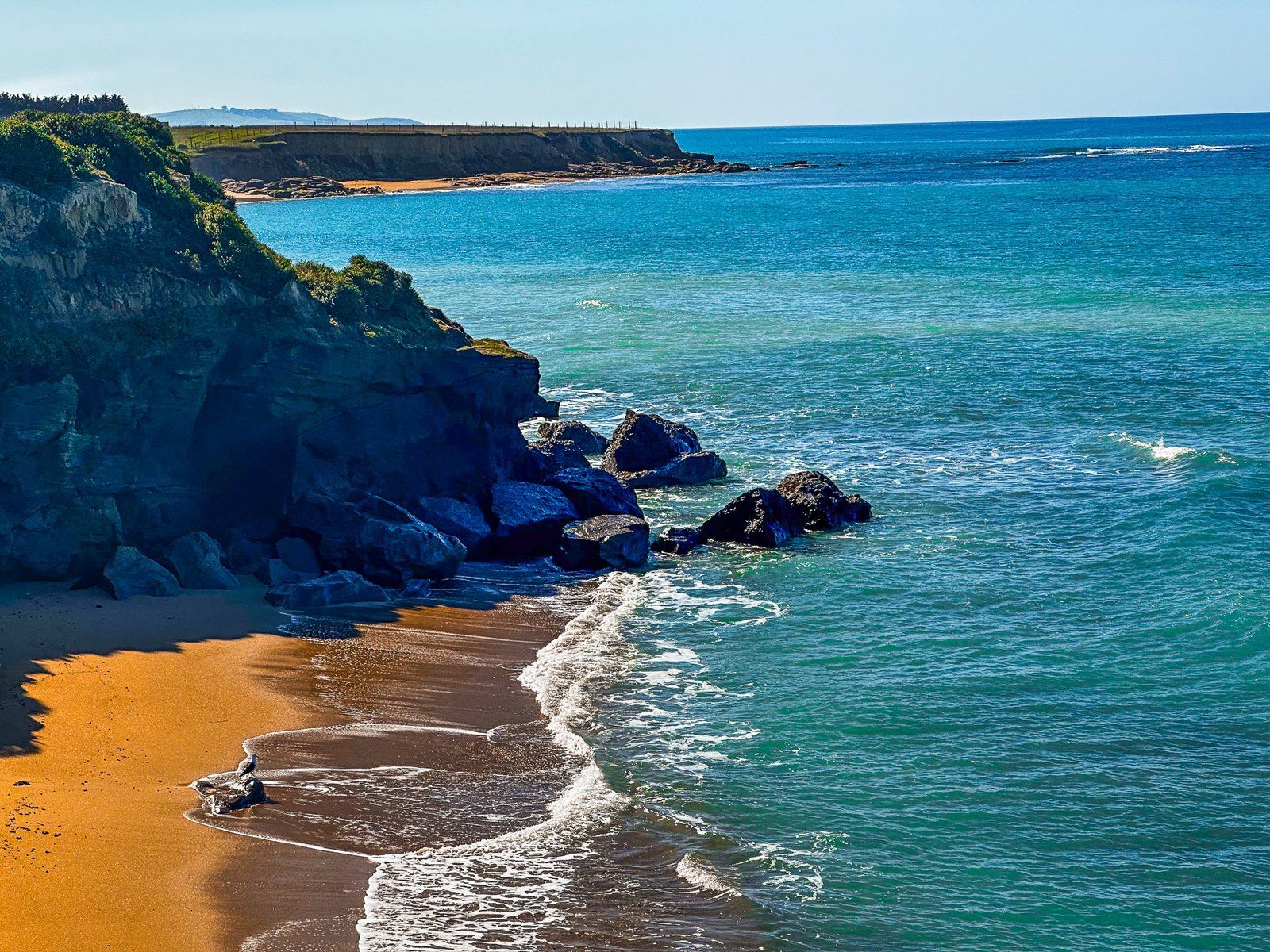
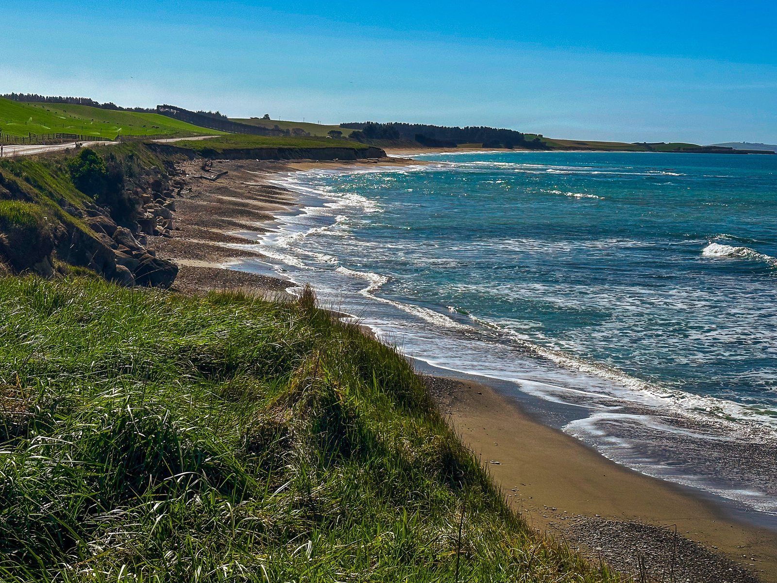
Kakanui Point and Campbell Bay are accessed from Waianakarua Road, shortly after crossing the bridge over the Kakanui River. Heading south, turn left onto Magdala Street, then right onto Stirling Street. Campbell Bay Reserve is at the top of the cliffs at the south end of the Point.
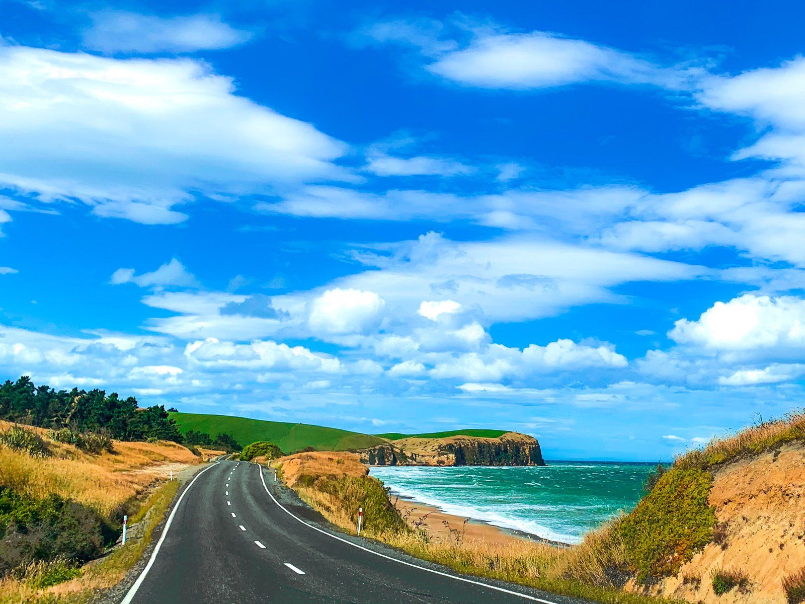
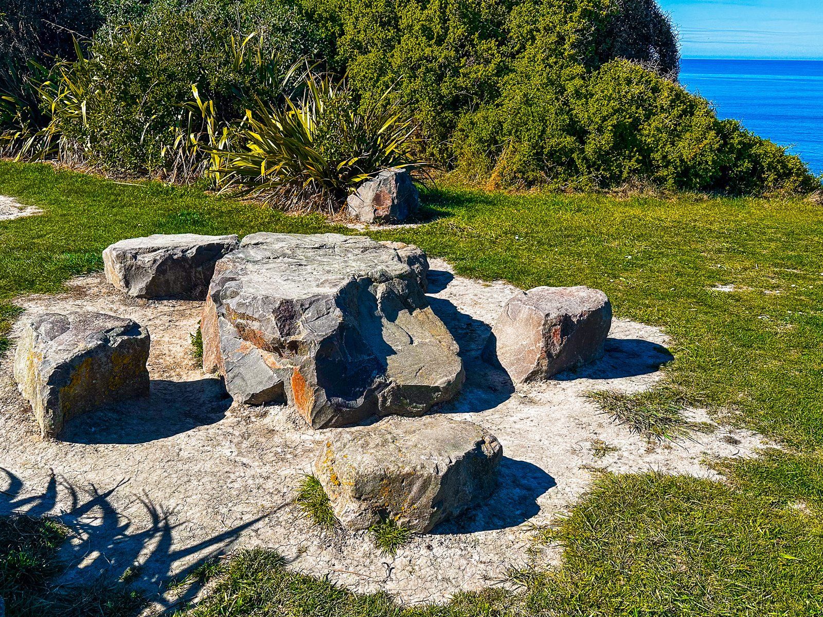
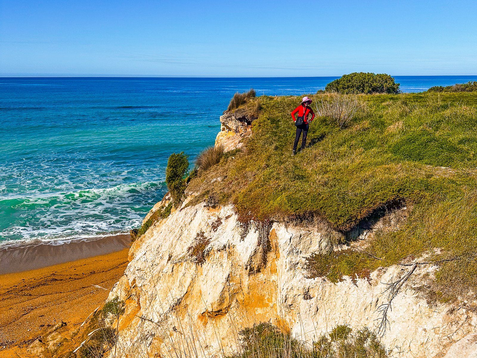
The view from the cliff south along Ōrore All Day Bay and down the North Otago Coast towards Te Hakapureirei Beach is beautiful. Follow the short path to the public toilets and picnic tables, then walk down to the shoreline. From there, you can access the beach below the cliffs and the rocky shoreline around the base of the Point.
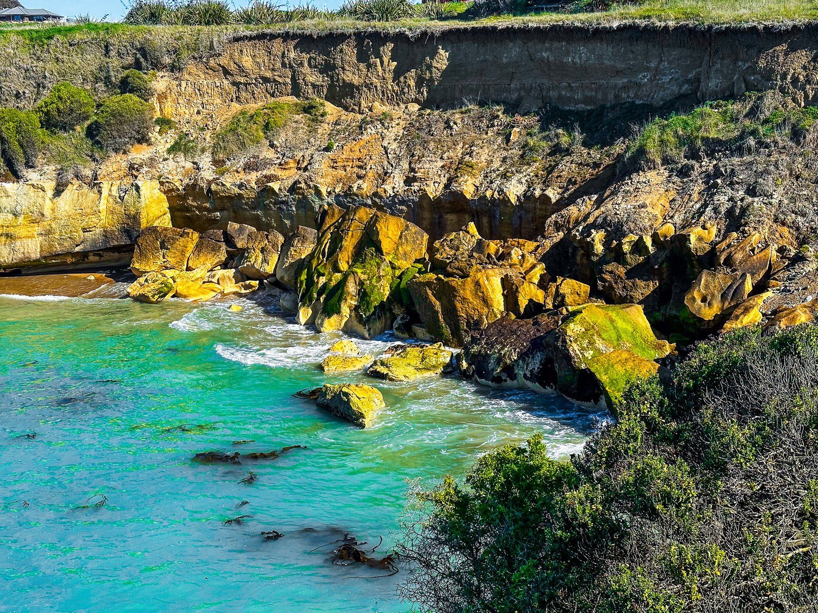
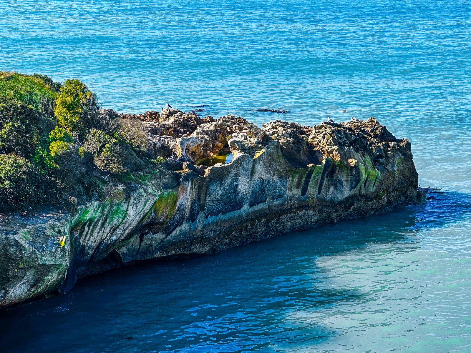
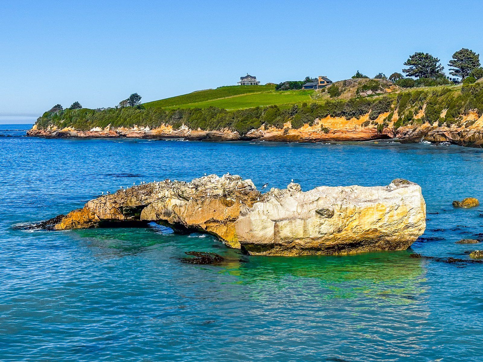
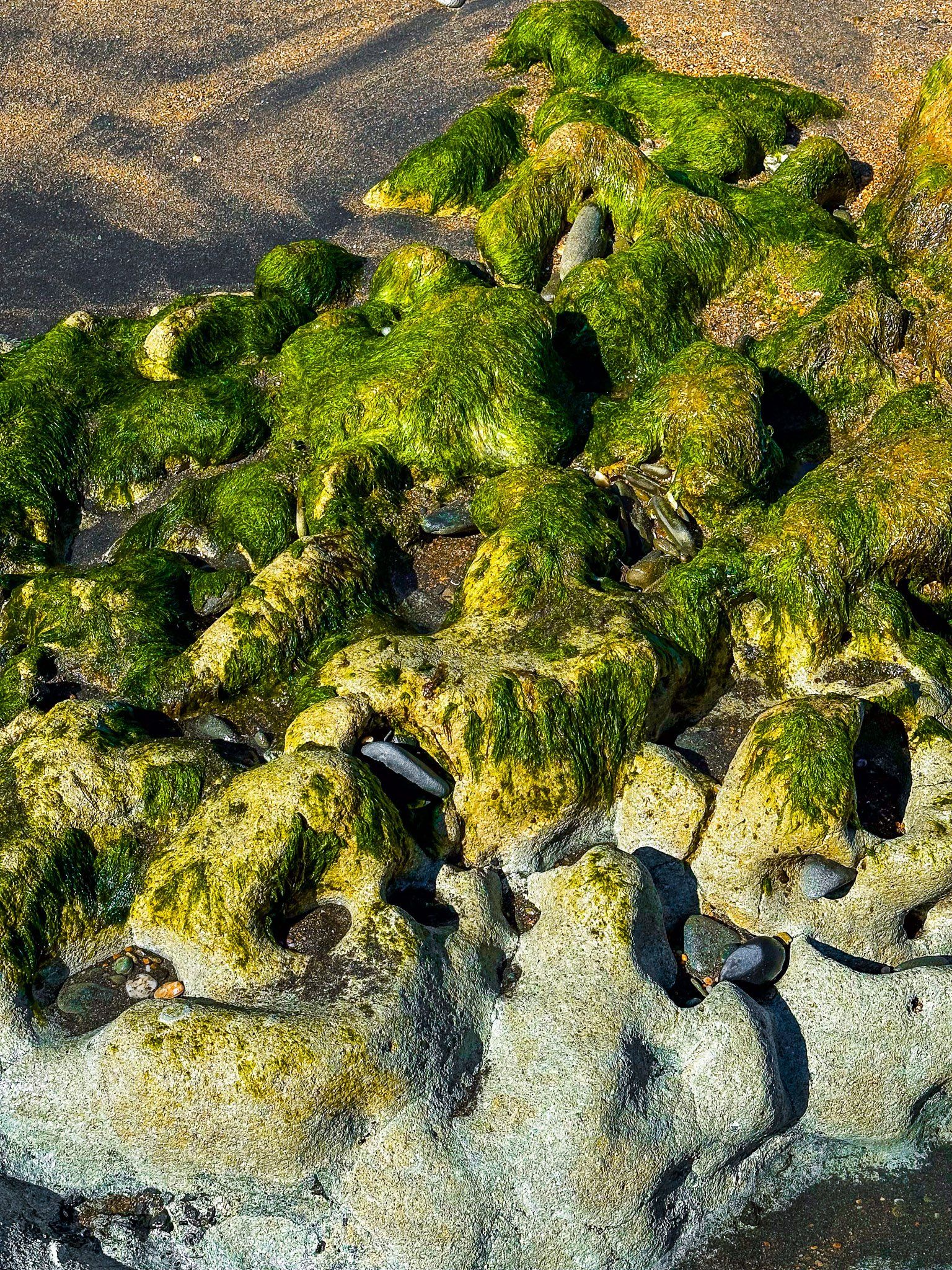
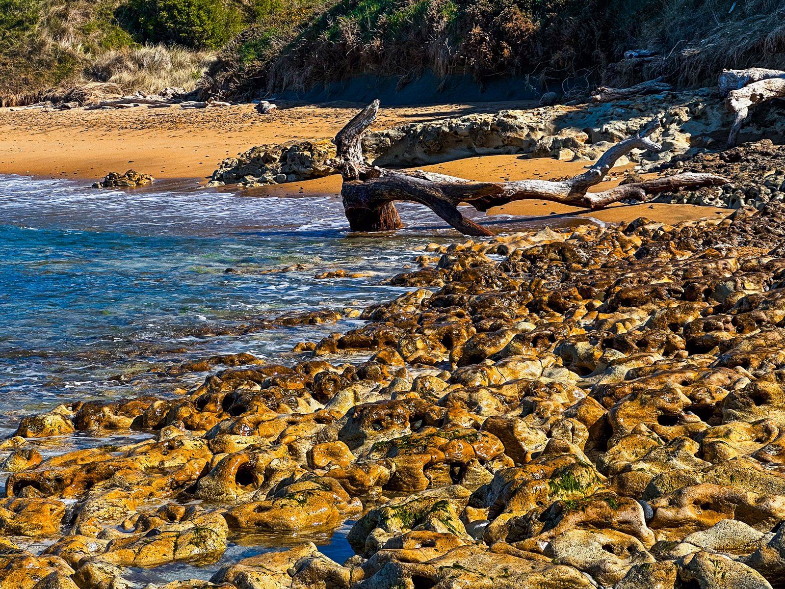
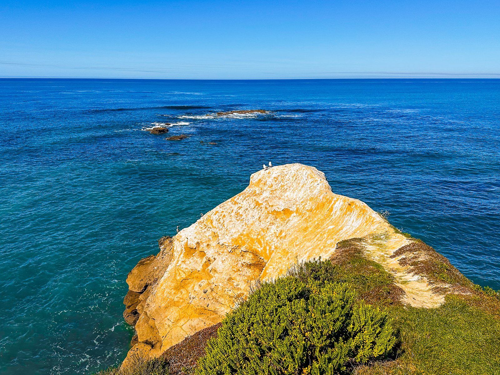
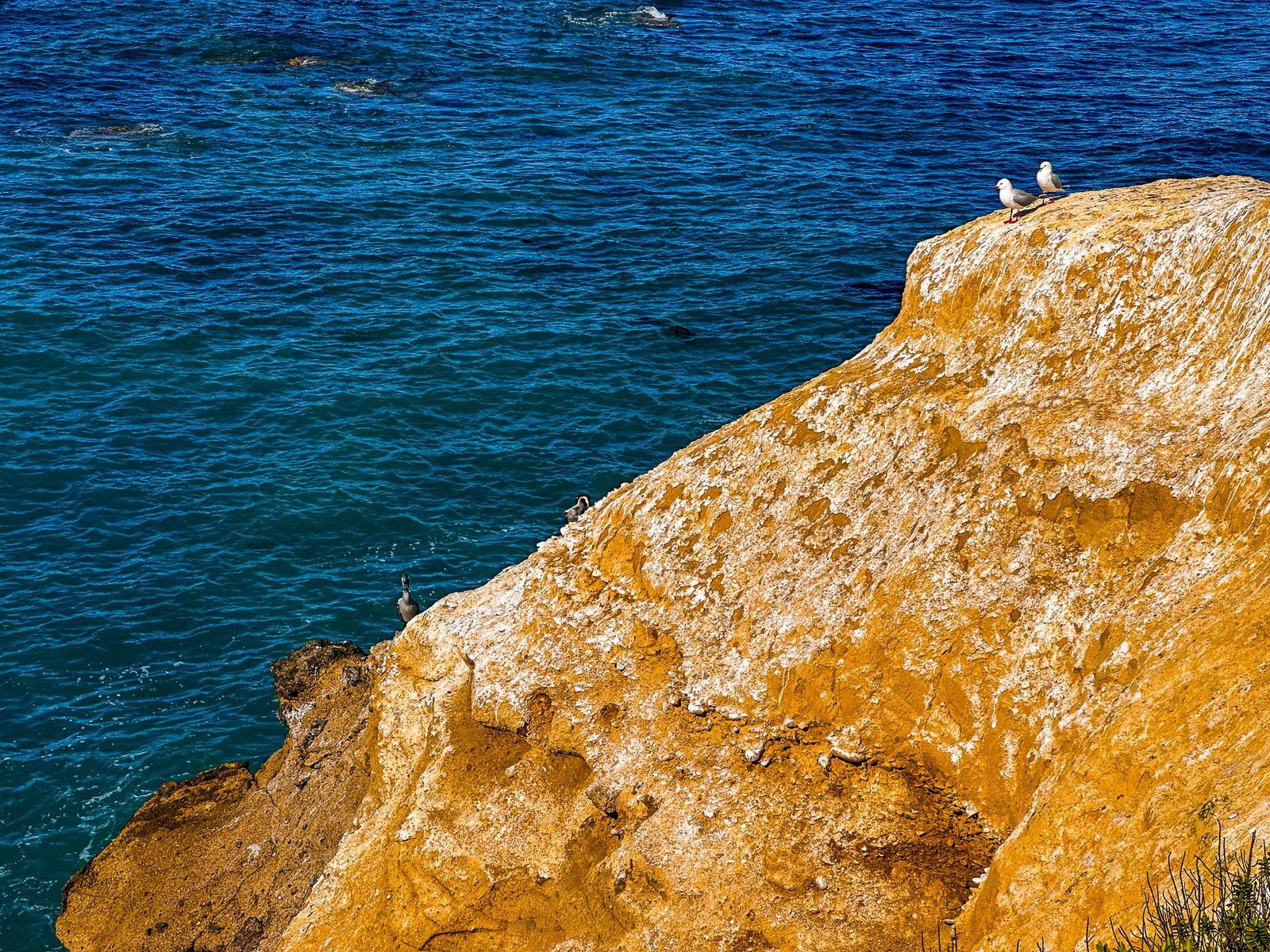
The Point is the remnant of an ancient 34 million year old volcano. But at Campbell Bay, the more obvious feature is the unusual protrusion of whitish rock that flows from the side of the Point into the surf. This is the ancient Ototara Limestone layer, which can also be seen in some limestone rock formations around the Waitaki Valley near Duntroon. Curved shapes and holes are a feature of this limestone protrusion. The holes were originally shrimp burrows, enlarged by erosion 30 million years ago(!)
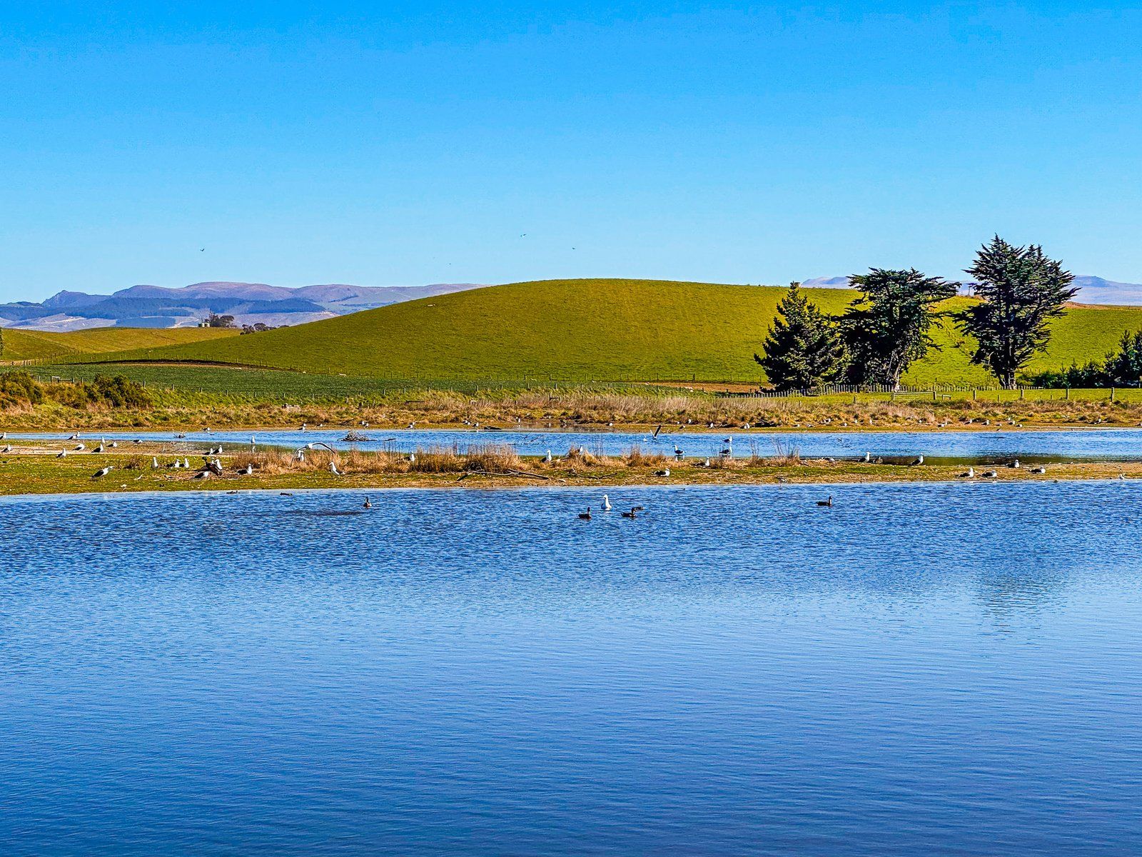
Ōrore All Day Bay
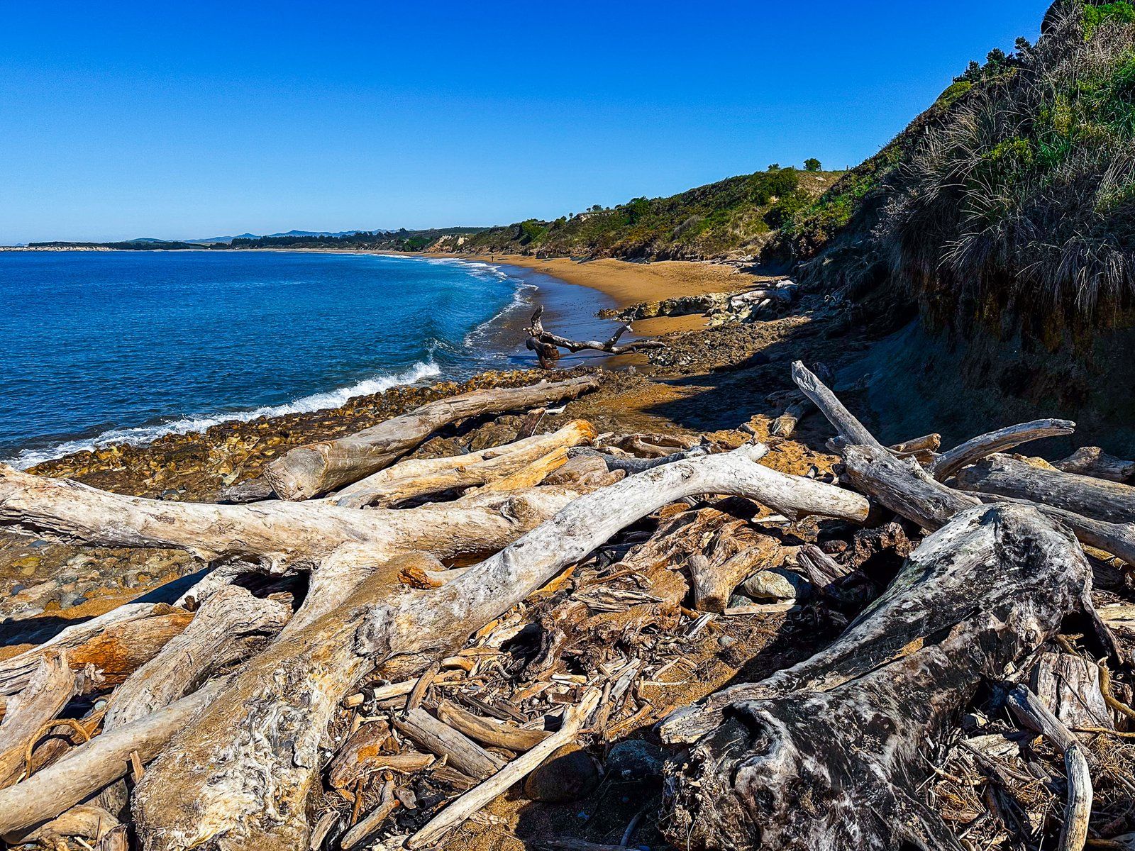
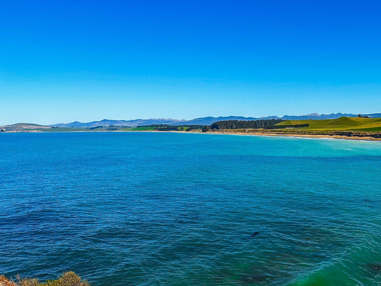
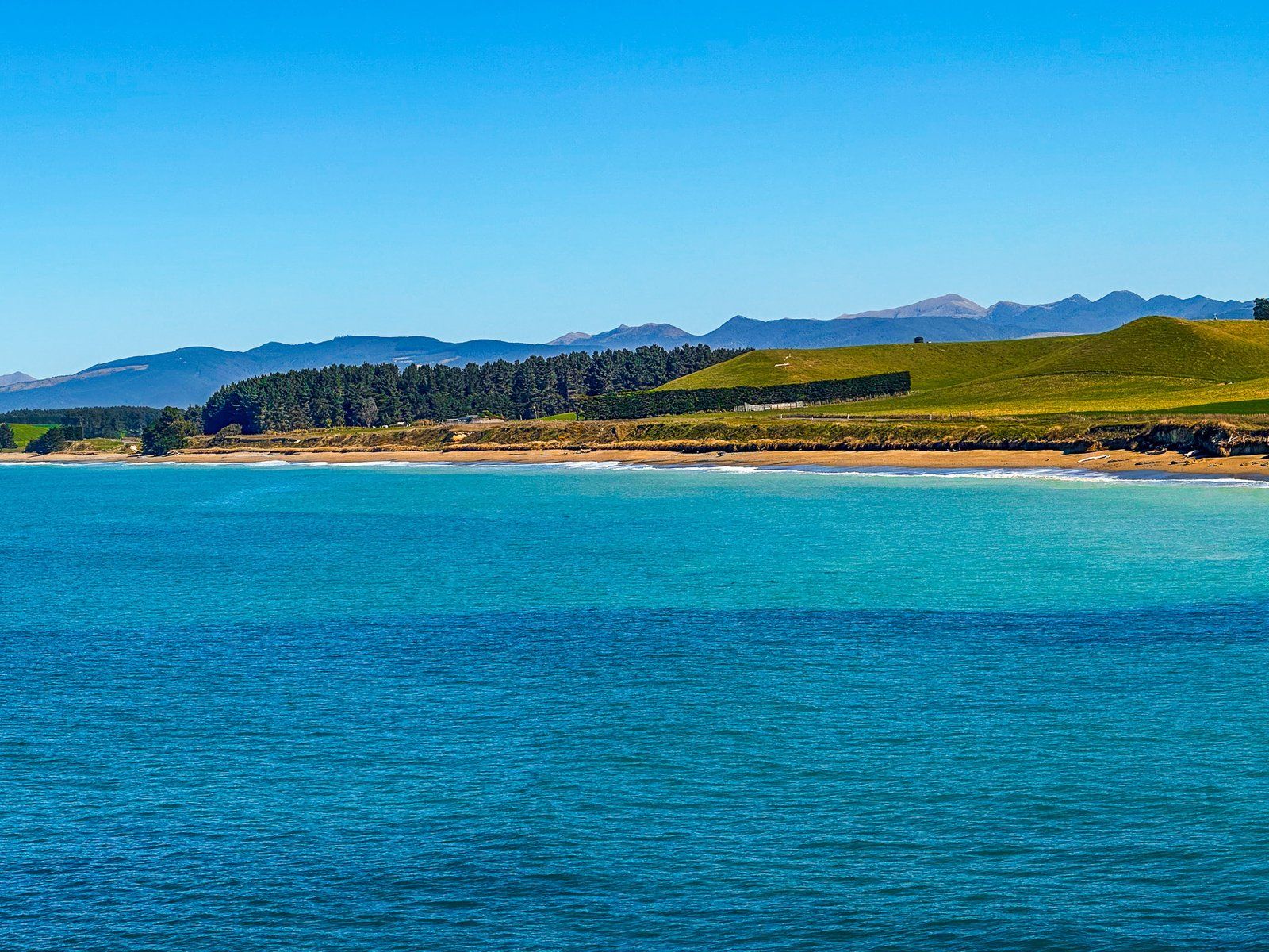
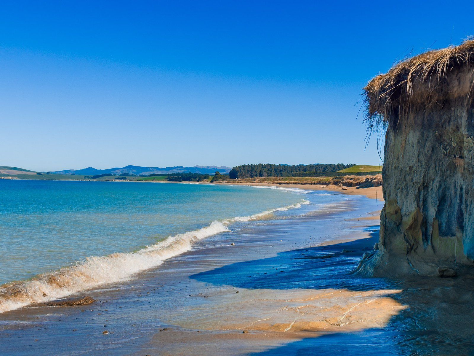
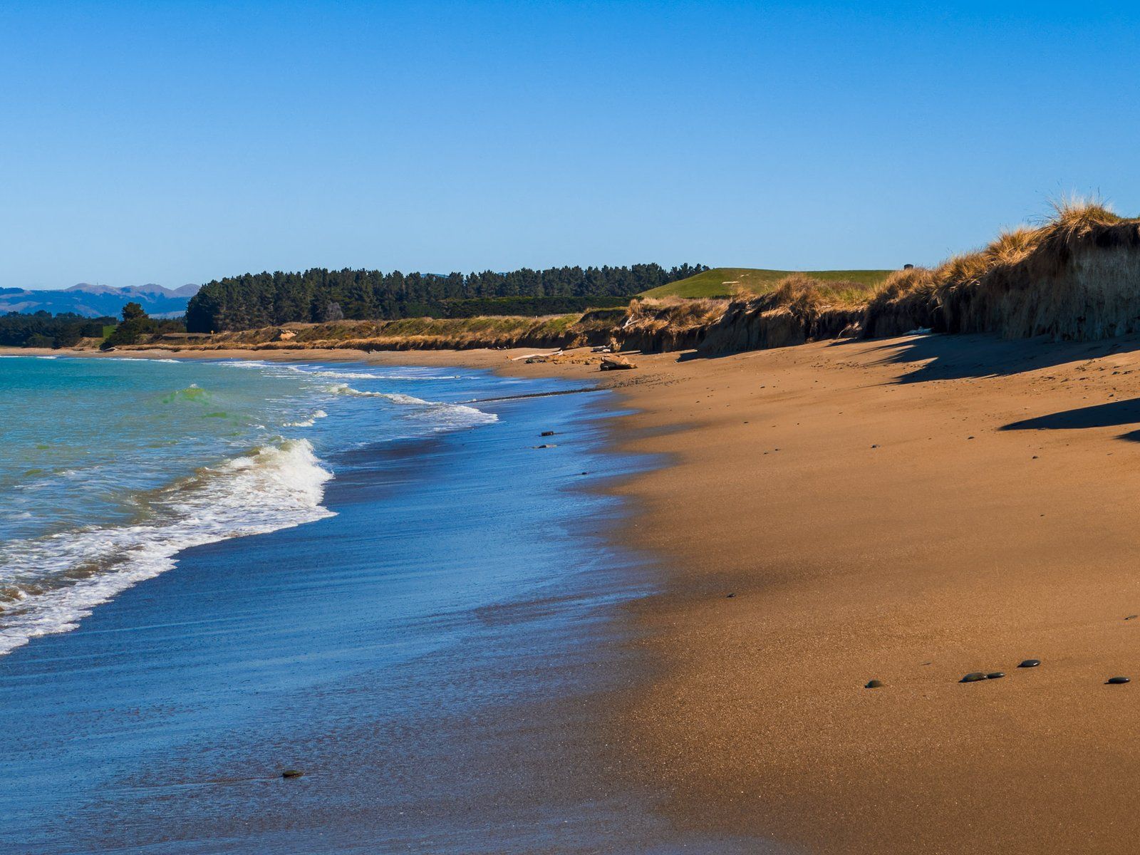
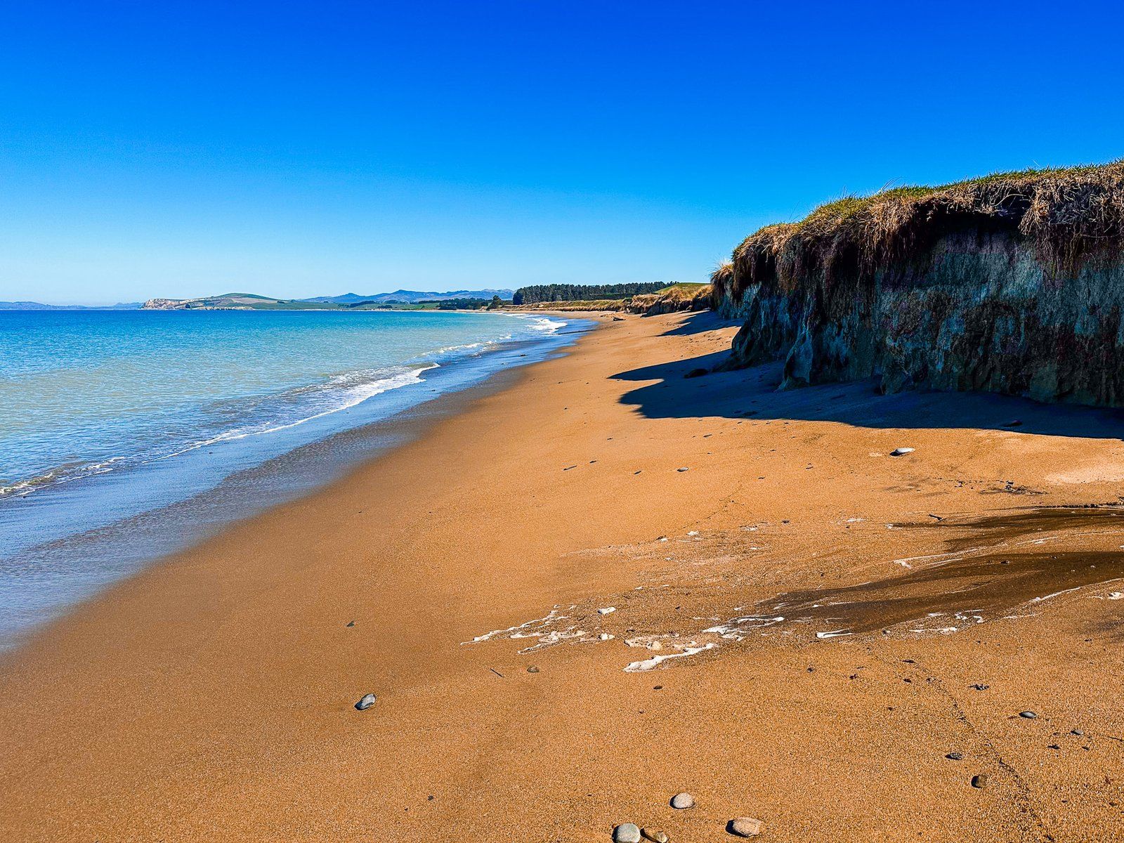
The curiously named All Day Bay (also Ōrore) lies between Kakanui Point and Ōrore Point on the North Otago Coast of the Pacific. Cliffs bound it for most of its three km length, with Te Hakapureirei Beach to the south. The easiest access is from Campbell Bay on the south side of Kakanui Point, then to head south along the beach or from the reserve in front of the south end of the beach before Ōrore Point.
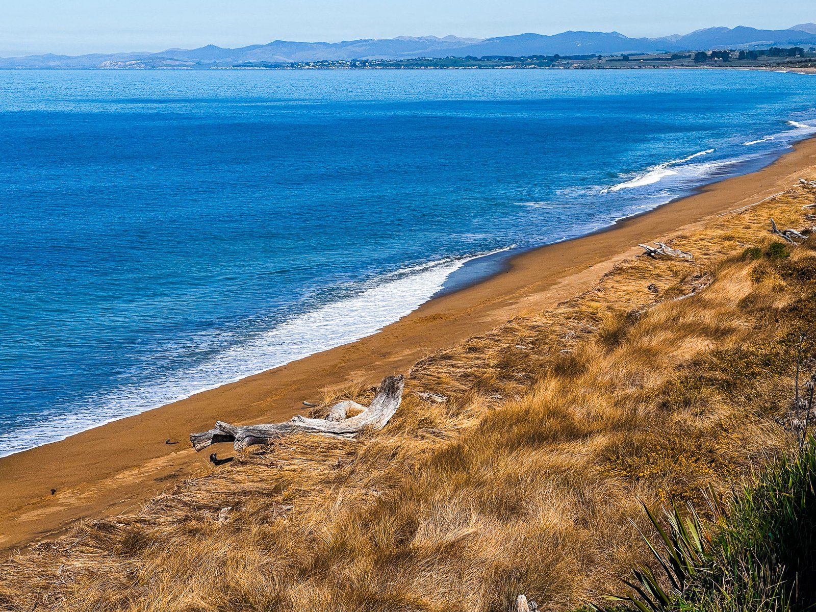
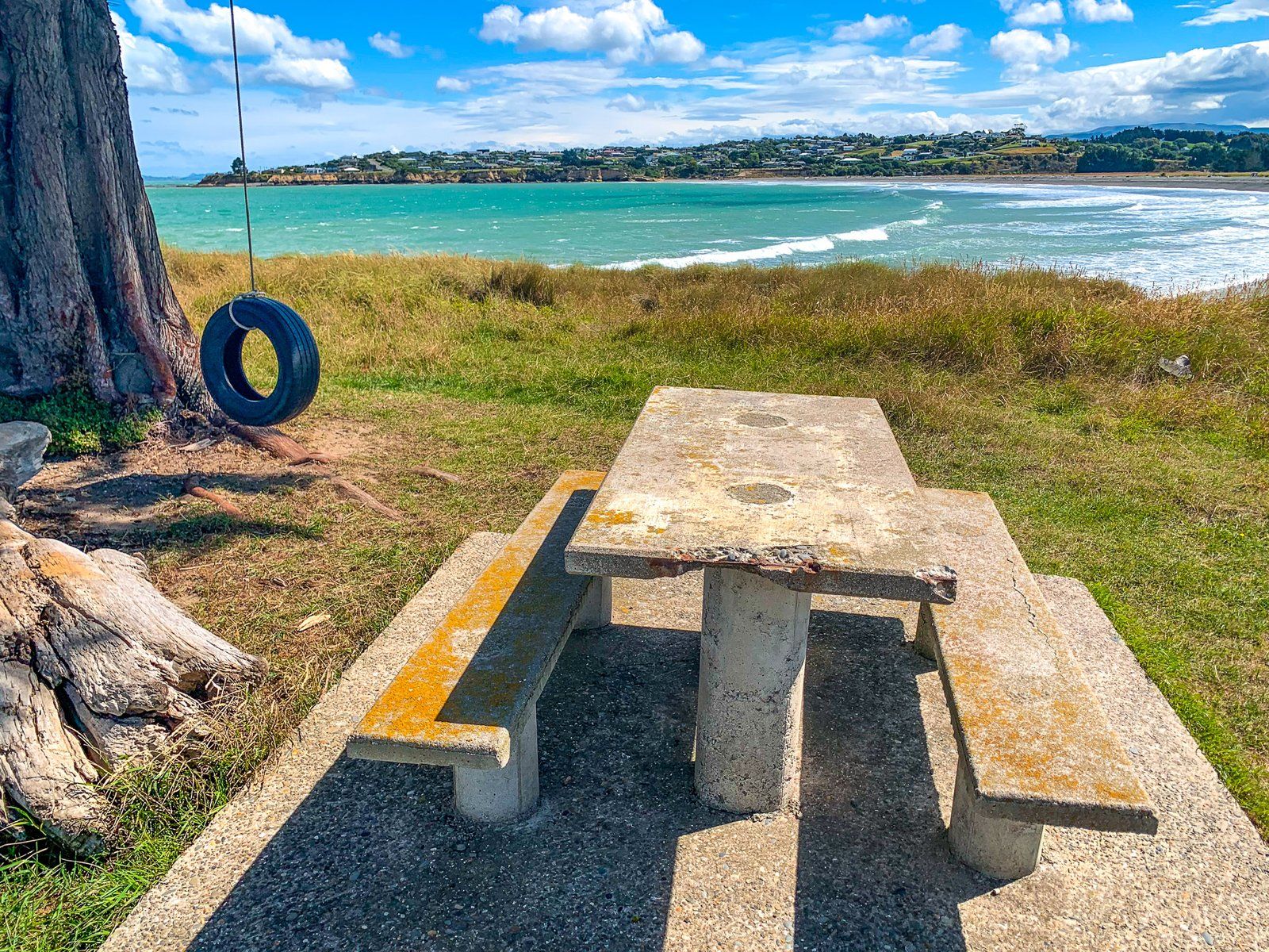
The reserve is easy to spot on the side of Waianakarua Road, and there is space for freedom camping. As with the other beaches on this coast, the sand has gold to orange shades, although not as intense as north of Kakanui. The cliff below Ōrore Point to the south is also colourful.
There is a lagoon opposite the reserve on the other side of the road. This is a significant waterfowl and seabird shelter and nesting location. Birds present include shovellers, grey ducks, grey teals, oystercatchers, pied stilts, and black stilts. Casual visitors include royal spoonbills and white herons.
Like the rest of the coast, the cliffs are geologically ancient. A particular feature to the north of the reserve is the “Mt Harris Formation”. Unlike most of the cliffs’ golds, oranges, and whites, the cliff where the lagoon outlet crosses the beach looks dark and muddy. It was laid down about 20 million years ago, about the time Aotearoa started to rise out of the ocean. The formation is a particularly good source of ancient marine fossils.
For Māori, Ōrore was traditionally a kāika mahika kai (food-gathering place) for tuna (eels), waterfowl, and īnaka (whitebait). There were large settlements in the area, and this was one of the earliest inhabited areas in the South Island. Moa hunting was also a significant activity before their extinction around 1600.


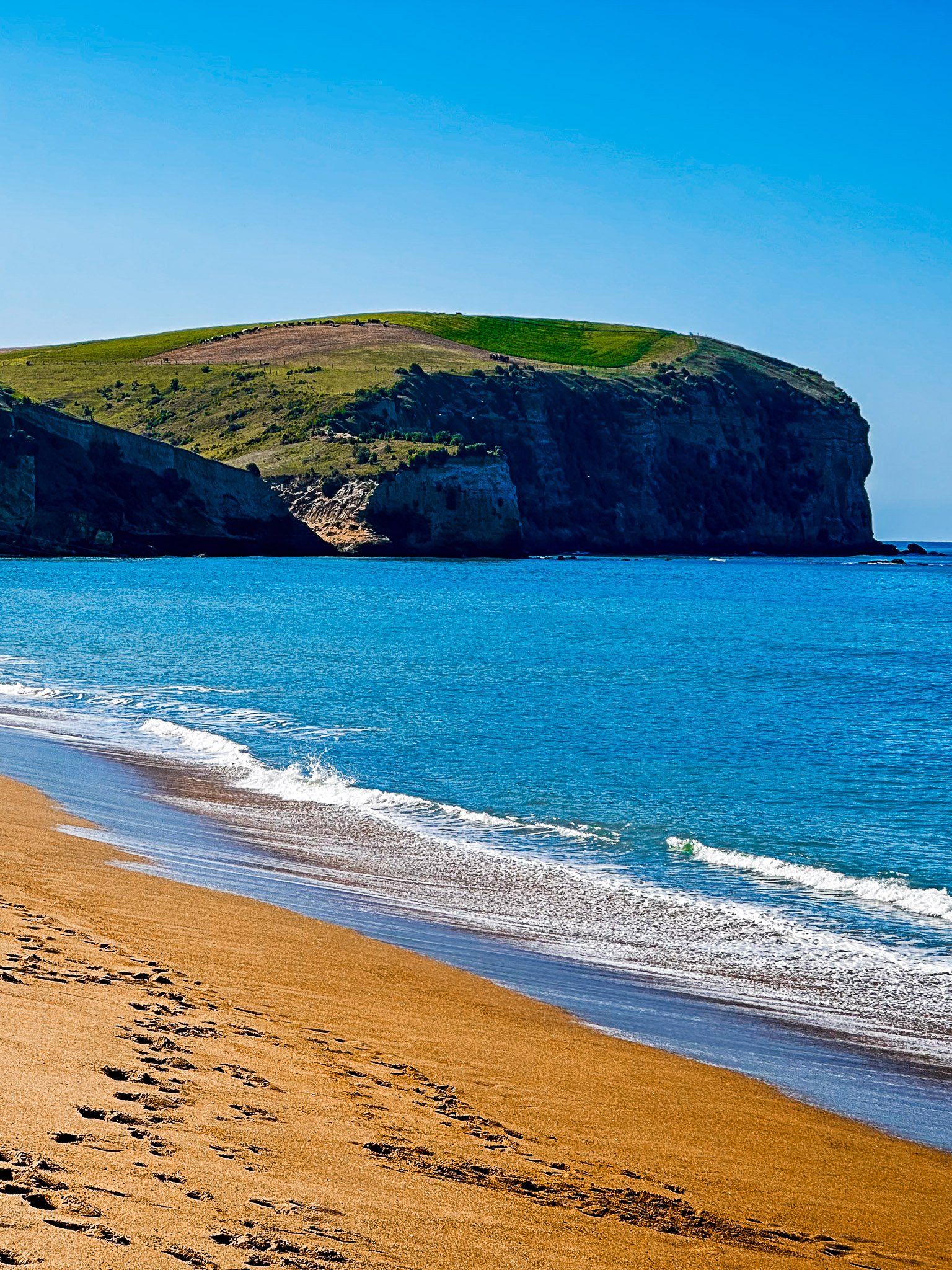
Bridge Point
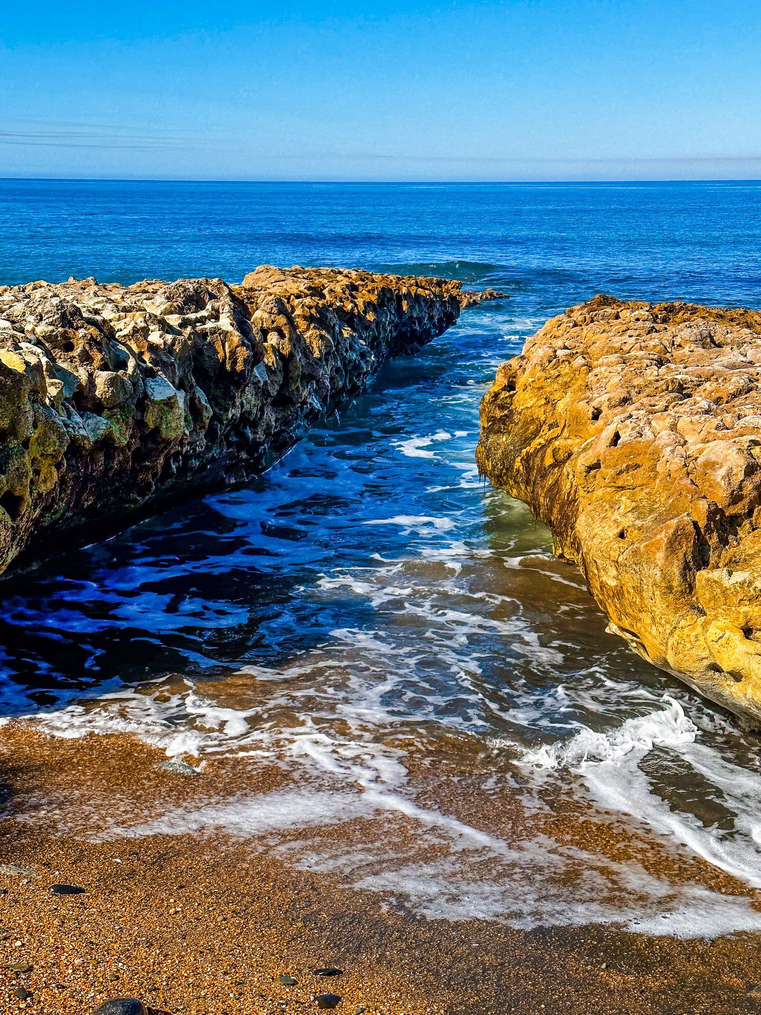
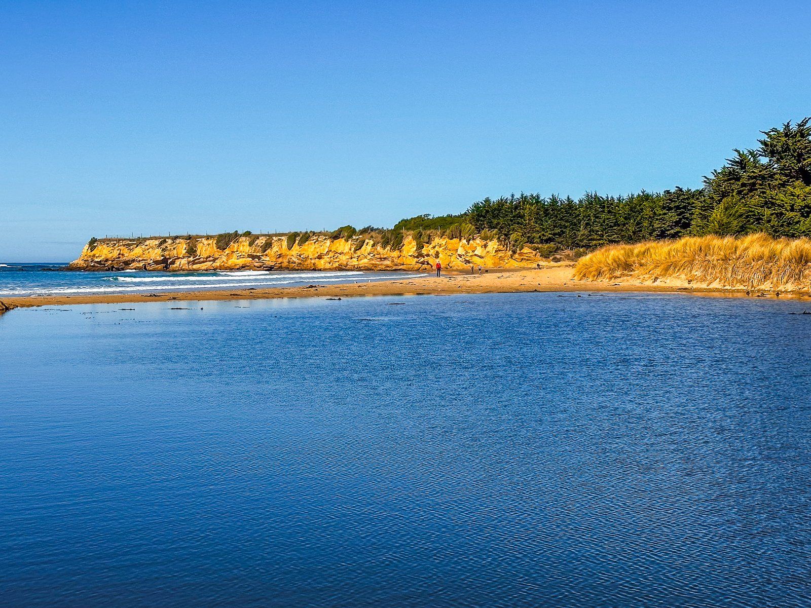
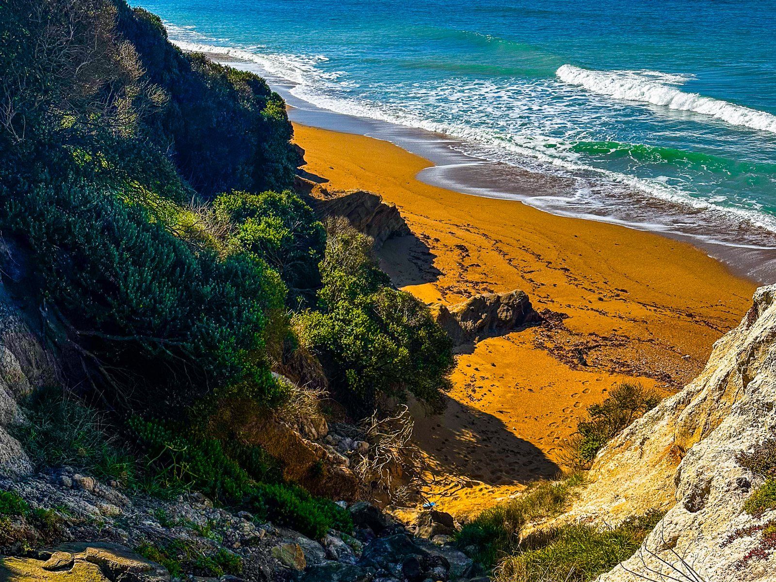
Bridge Point is about one km south of Ōrore All Day Bay along Waianakarua Road on the North Otago Coast. There is plenty of space to park on the point. The point is mostly grassed and bounded by cliffs. There is a fabulous view south along Te Hakapureirei Beach. Scrambling down to a small beach below a cliff between Ōrore Point and Bridge Point is possible on the north side.
As with Cape Wanbrow in Ōamaru and Kakanui Point to the north, Bridge Point is the eroded remnant of a volcano that erupted around 32 – 36 million years ago. At the southeast of the Point is a rocky section at the top of the natural bridge the name refers to. You can see the bridge more clearly from Te Hakapureirei Beach and walk through it at a low tide.
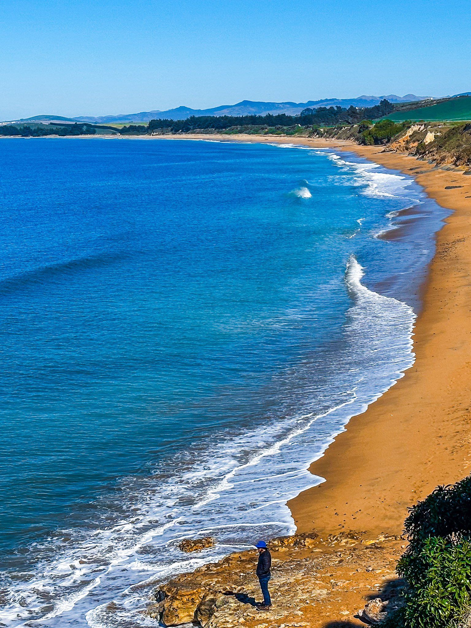
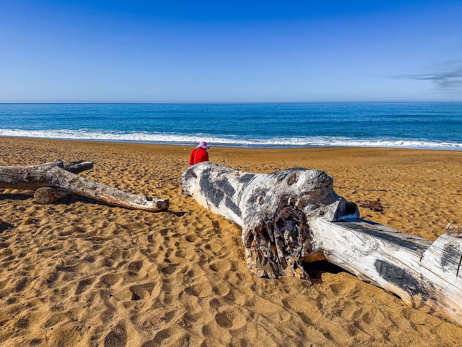
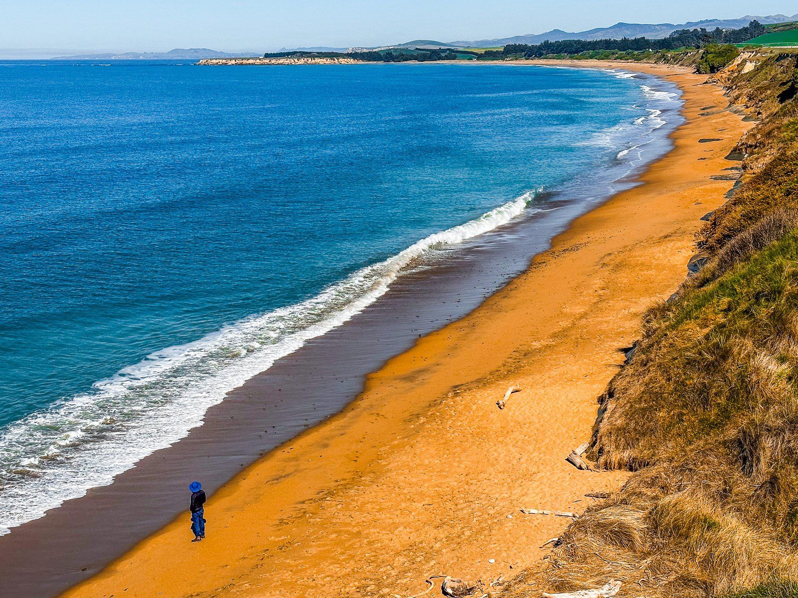
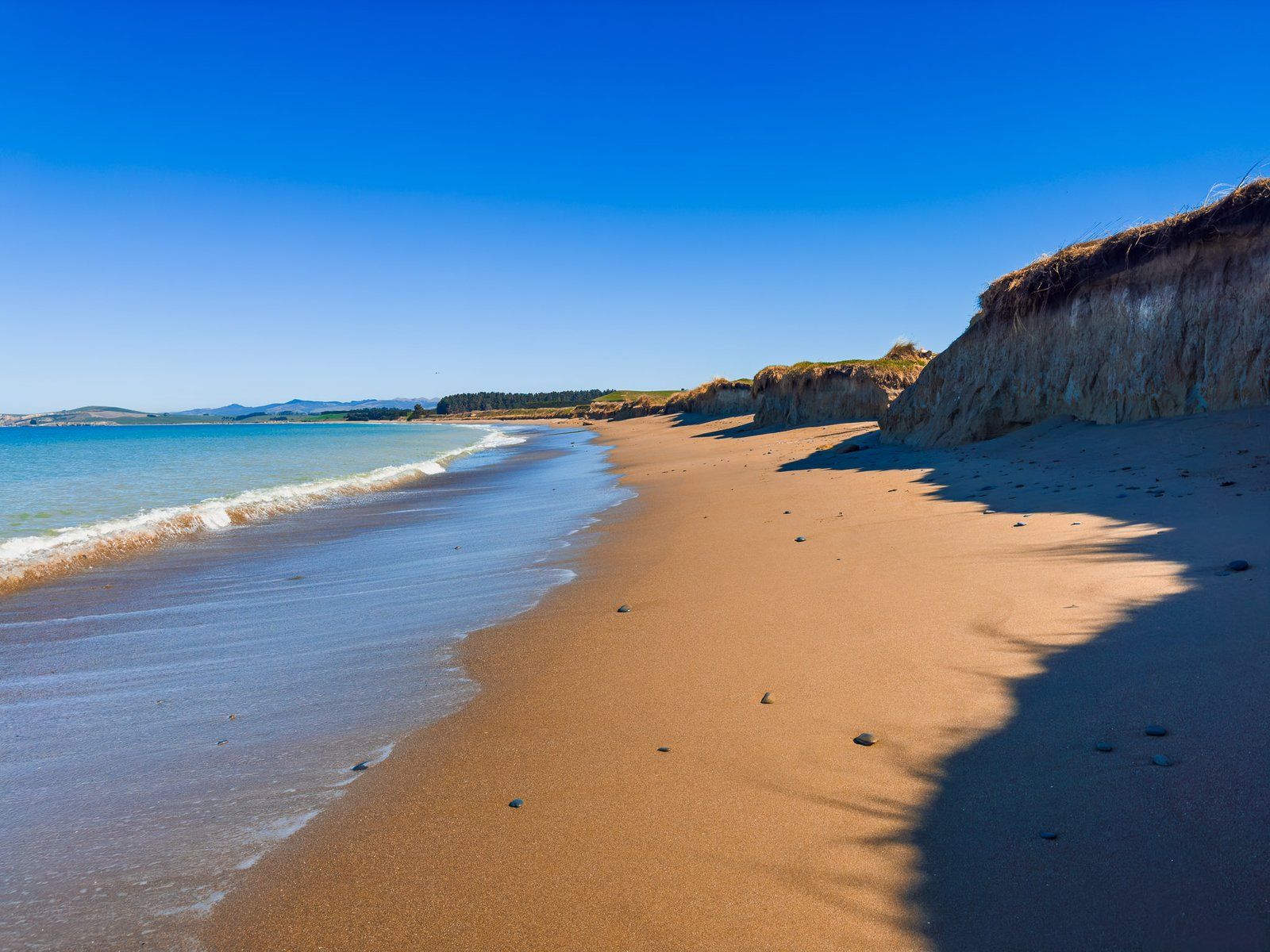
Te Hakapureirei Beach
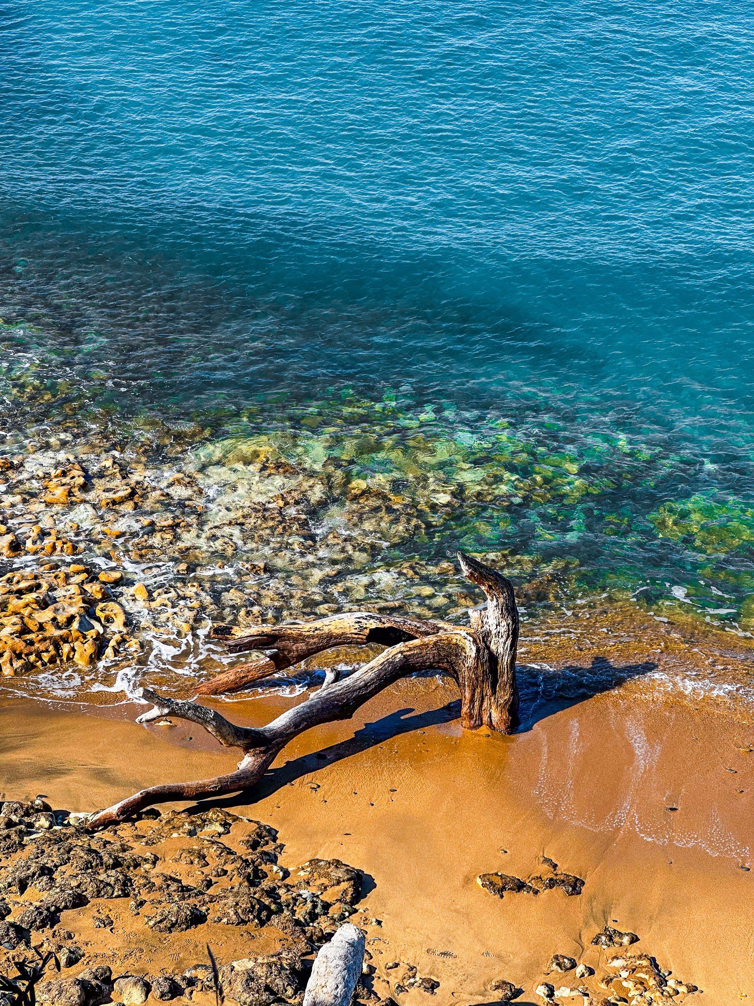
Te Hakapureirei Beach is about four km long and is below the eroding cliff at the edge of Waianakarua Road. It sits between Bridge Point to the north and the Waianakarua River mouth to the south. Due to the cliff, there is only one obvious access point. This is shortly after Bridge Point – although it has been affected by erosion, there is room for a couple of cars on the side of the road. From there, walk down the sandy slope to the beach.
At high tide, the beach is restricted with the waves coming up to the cliff in places. As the tide goes out, it is easy to find a spot to hang out. Walking north, you will get a better view of the natural bridge at Bridge Point. You can walk through this at low tide and explore the rock pools around the end of the point.
At the beach’s southern end, Waianakarua Road swings west to connect with State Highway 1. Shortly before this, there is a rough, unmaintained track to the Waianakarua River mouth.


Want more South and North Otago Coast Trip Ideas?
Check out our blogs on Danseys Pass, Historic and Beautiful Ōamaru, and the Remote Beauty of Otago Peninsula.