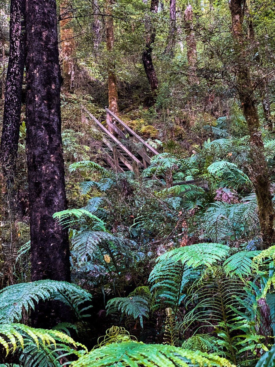
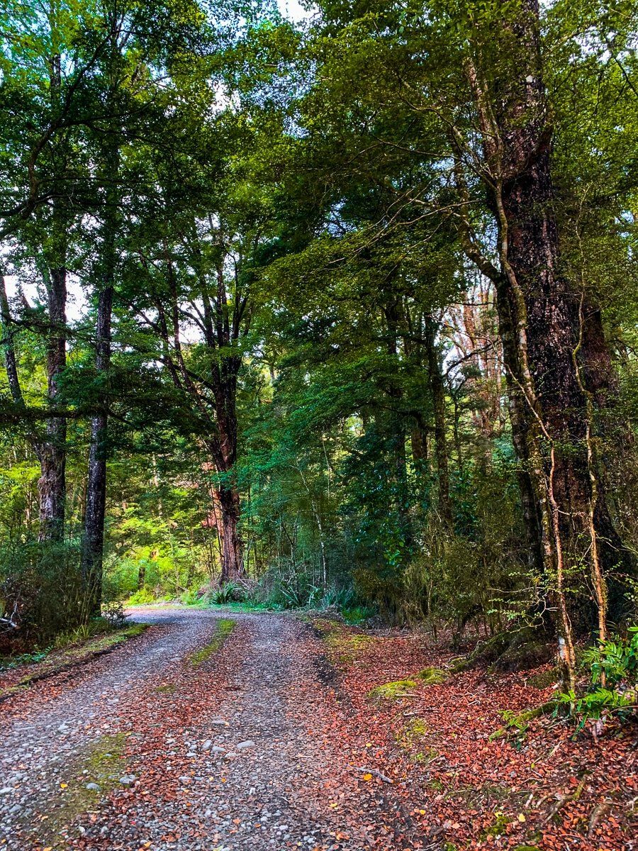
The Lewis Pass Road, also known as State Highway 7, is one of the less toured main routes in the South Island. But this route between Hanmer Springs and Reefton is well worth exploring – there are multiple hiking and camping options in both the forests and mountains, plus the Maruia Springs hot pools.
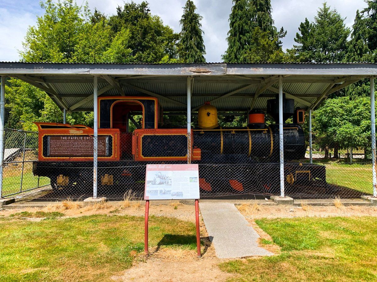
The area around Reefton is also fantastic. It was a major gold mining centre from the 1860s with the discovery of gold bearing quartz reefs, and it was the first place to install public electricity in New Zealand in 1888. The town works to maintain its heritage and there are plenty of hiking and cycling tracks with historical mines and relics to explore.
Lewis Pass
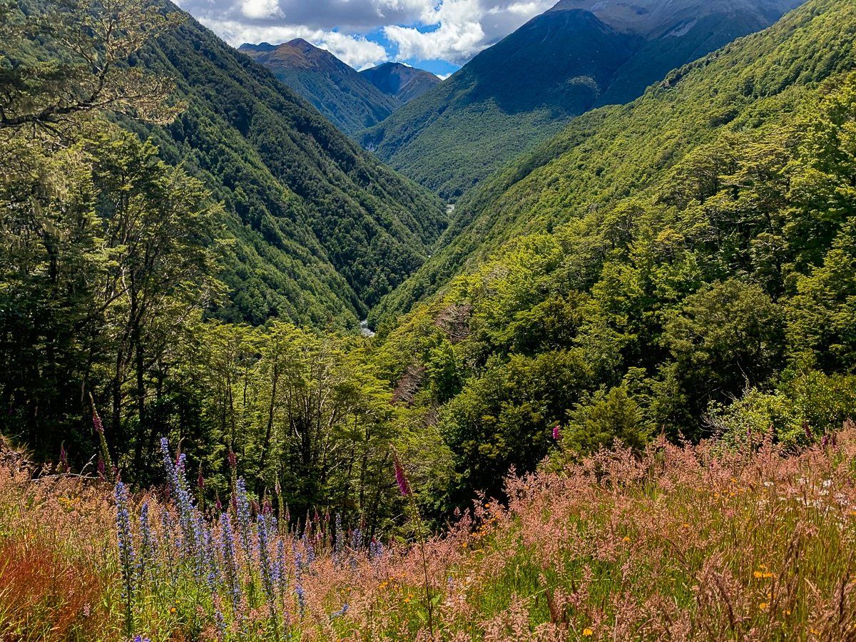
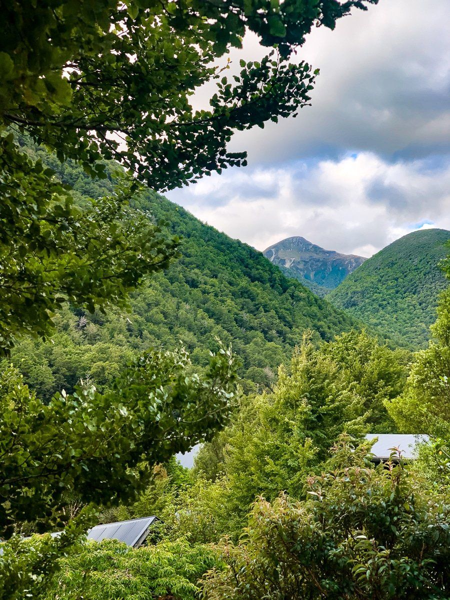
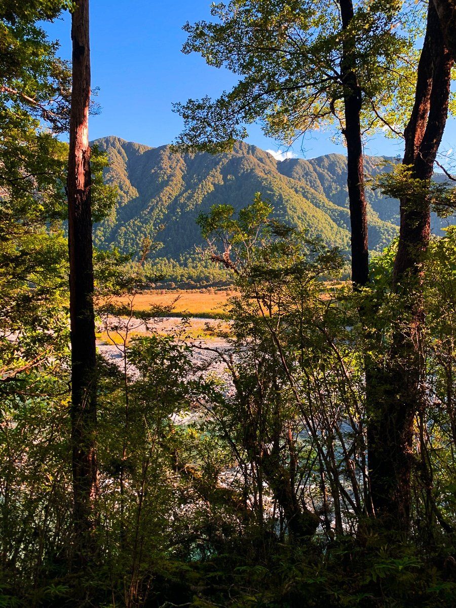
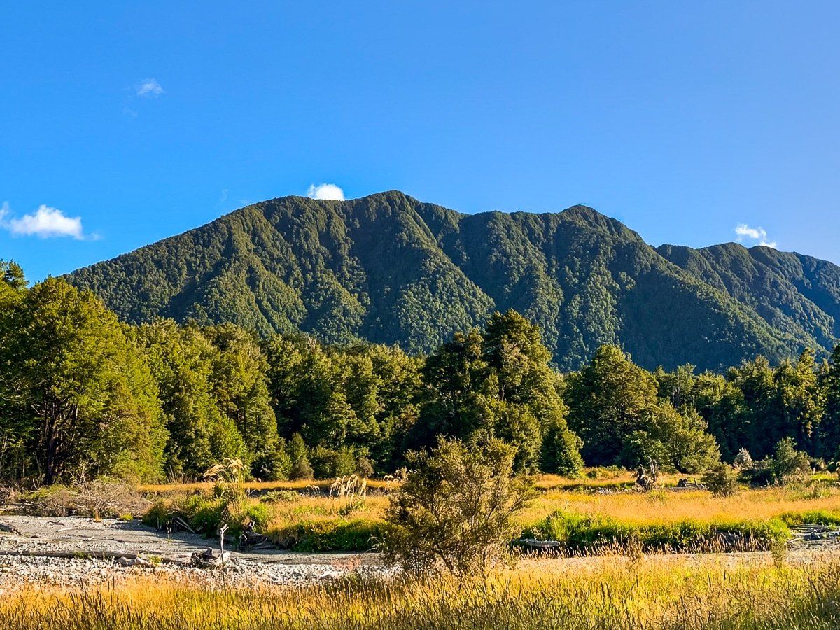
The drive from Hanmer Springs to Lewis Pass is classic South Island – remote, with views of river valleys, beech forests and mountains. After leaving the Hanmer Plain, the road follows a winding route along several river valleys before reaching a high point of about 900 metres at Lewis Pass.
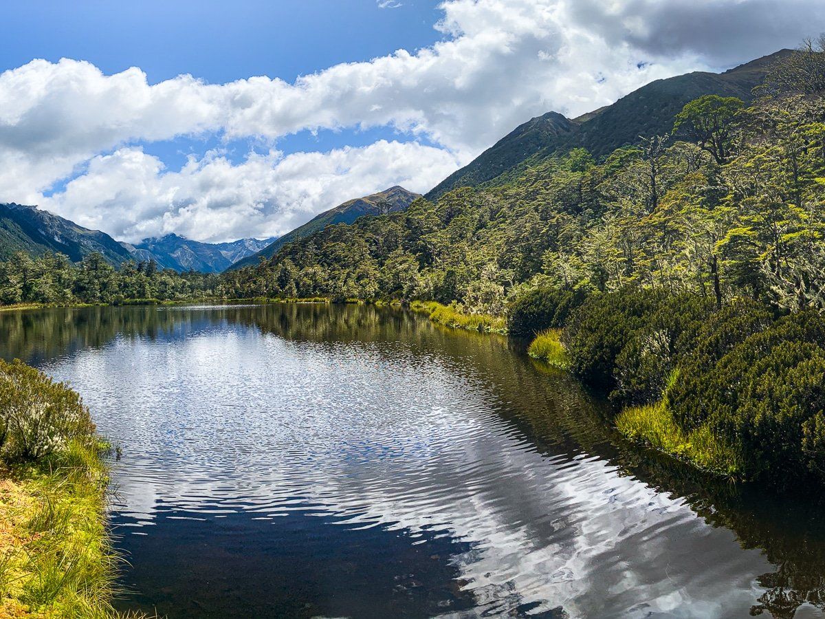
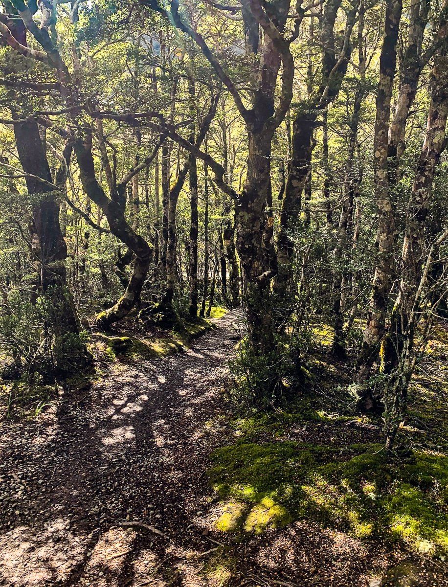
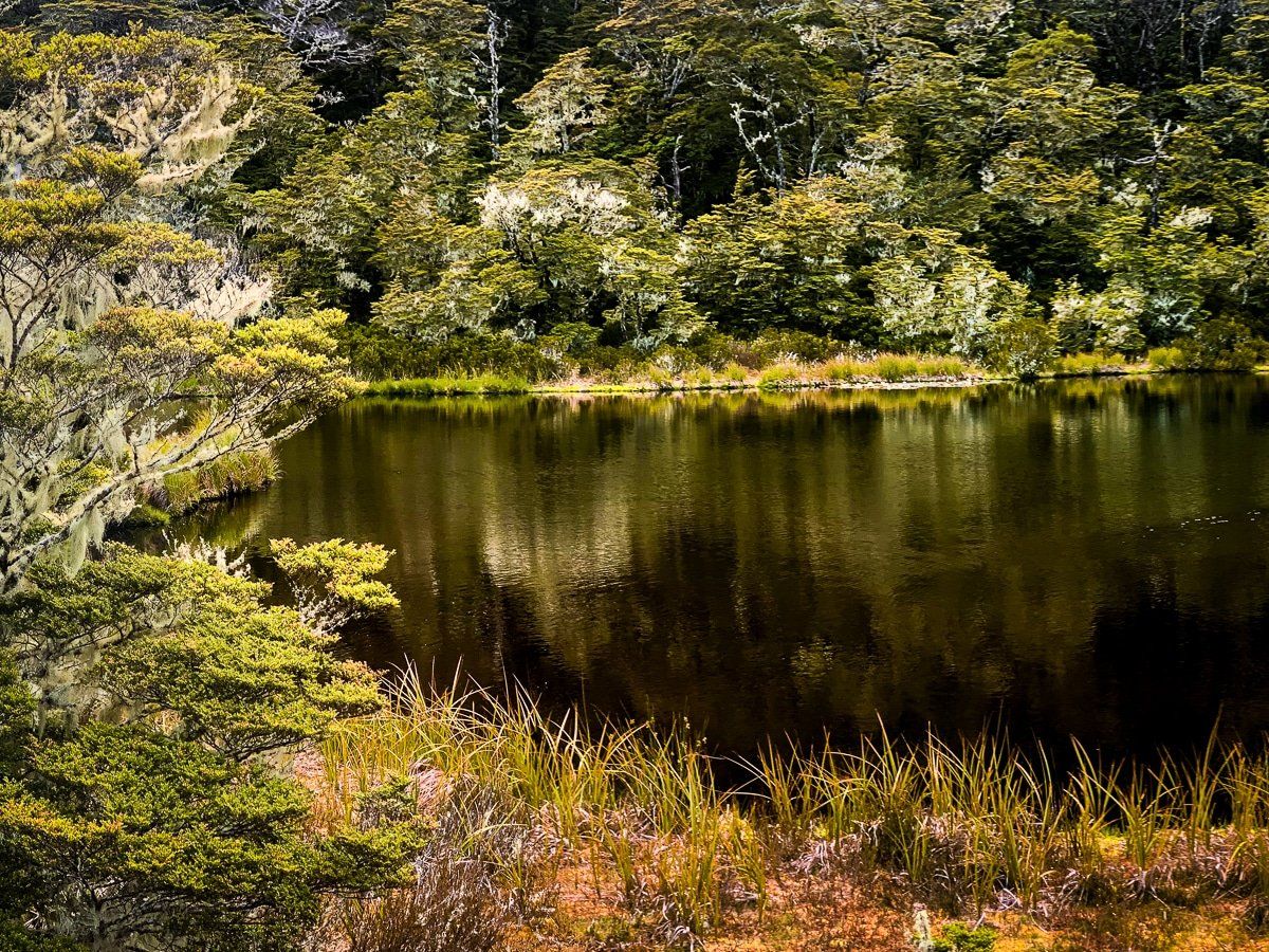
Just to the southeast of the high point is a car park, and from there you can access the multi-day St James Walkway, the four-to-five hour Lewis Tops Track, and a short easy walk to a tarn (small mountain lake). This shorter walk is exceedingly pretty, especially in spring and early summer, with native high country shrubbery and beech trees along the path. Just beyond the road high point is a safe stopping area with a great view up Cannibal Gorge and the northwest side of the St James Walkway.
There are plenty of other half-day and multi-day walking tracks around Lewis Pass, some with campsites like Lake Daniel and Boyle Village. Do some extra planning and research as they vary greatly in effort and intensity – you can start with topo maps and the DOC website.
Maruia Springs
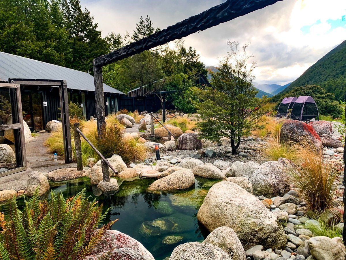
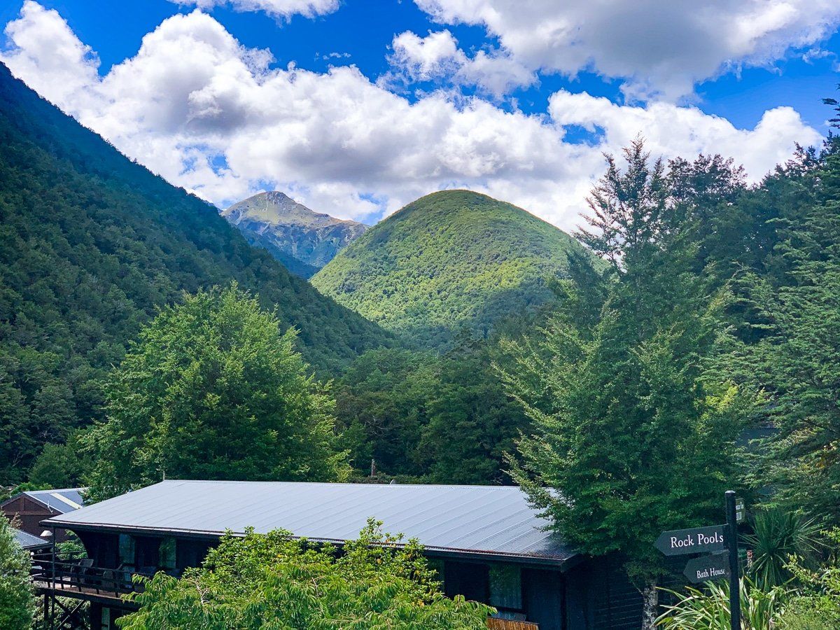
We tend not to write about businesses on Trip Ideas, but will make an exception for Maruia Springs. It’s a great base if you want to explore around Lewis Pass for more than a day, with both camping and private accommodation, a spa, luxurious hot springs and a superb restaurant. We even drove back there for dinner after hiking around Reefton.
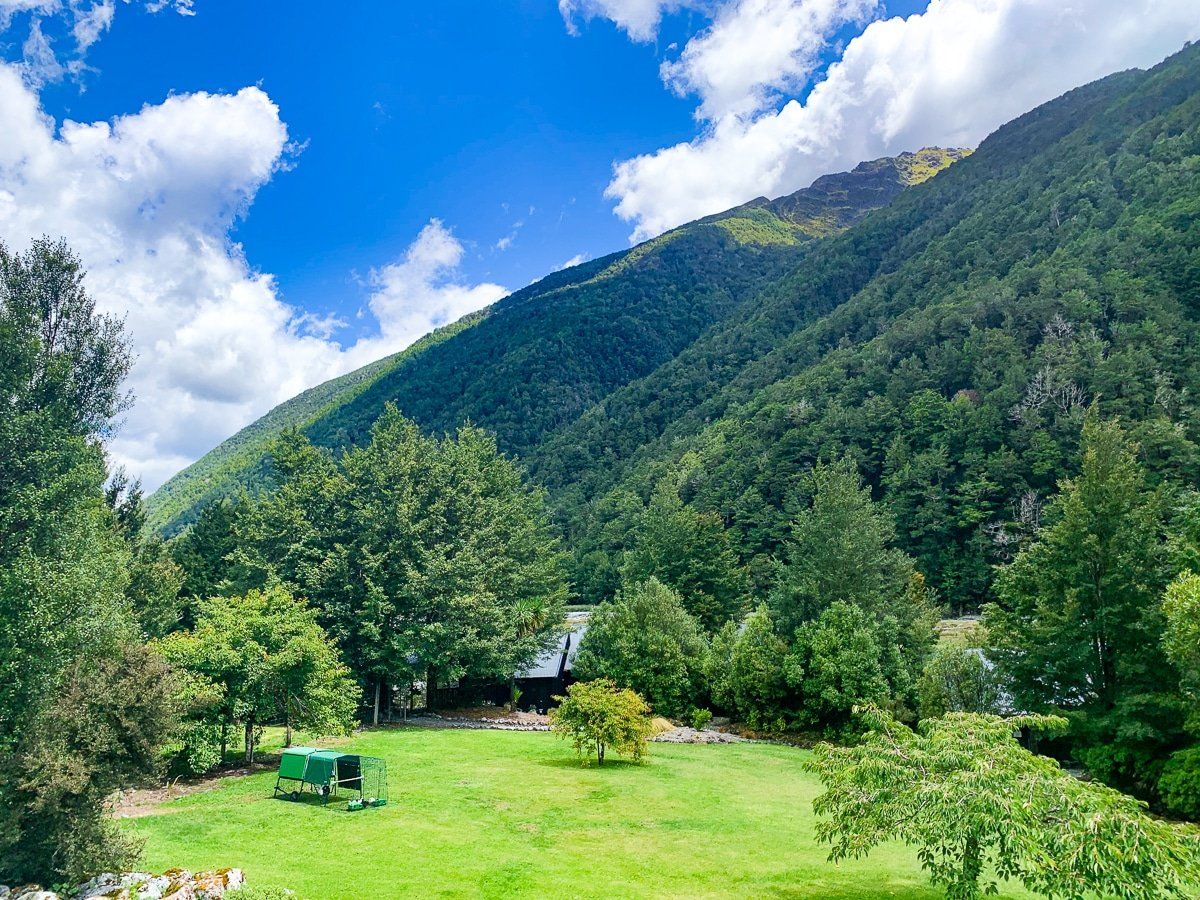
Maruia Springs is a few kilometres west of Lewis Pass and sits in the Maruia River Valley. The Springs also have their own descriptions of the various hiking options nearby, including one you won’t find on the map.
Lake Daniell Track
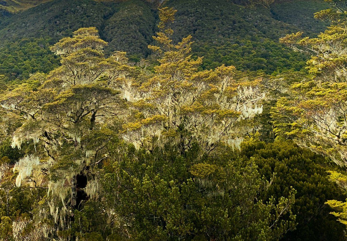
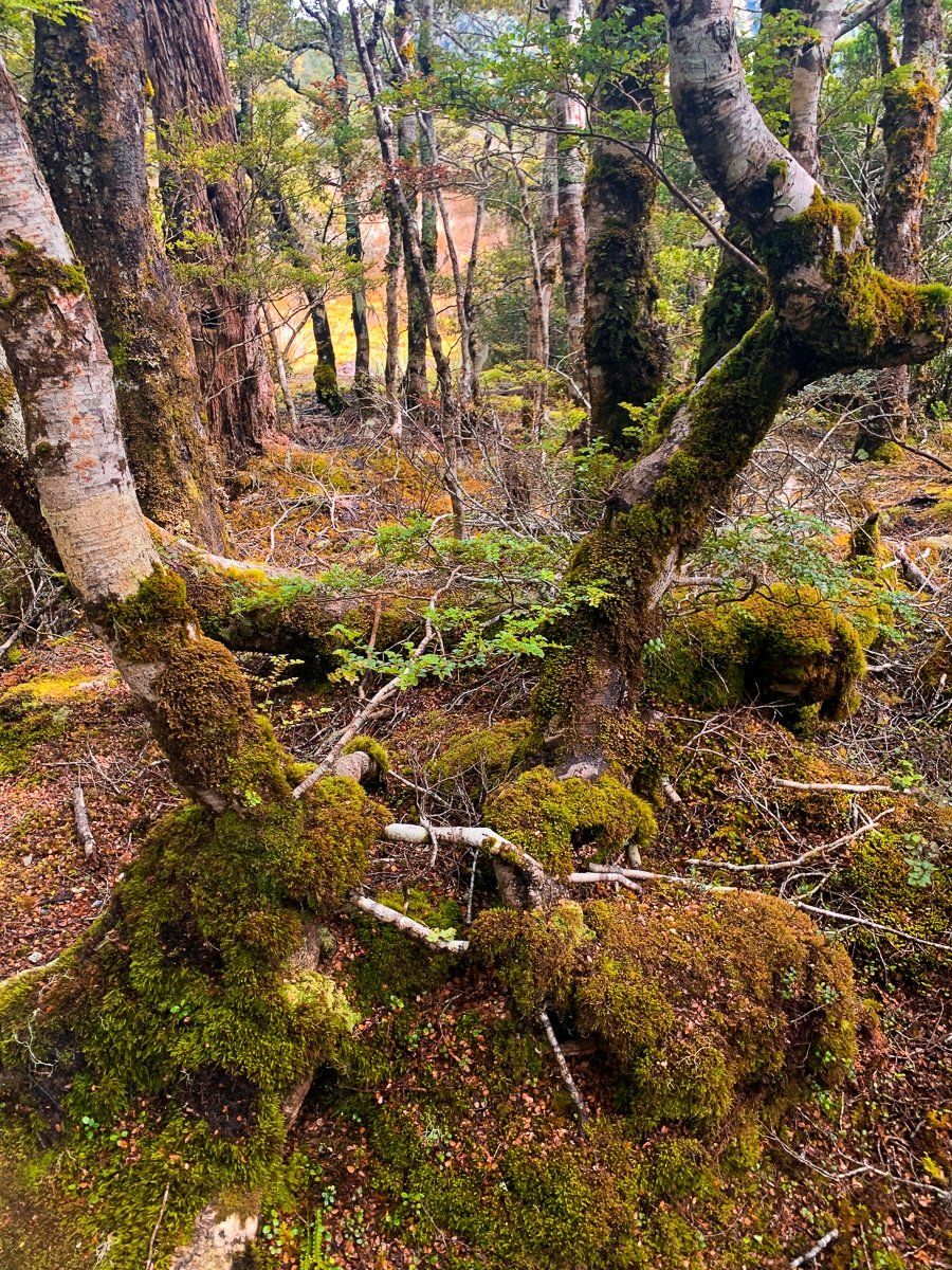
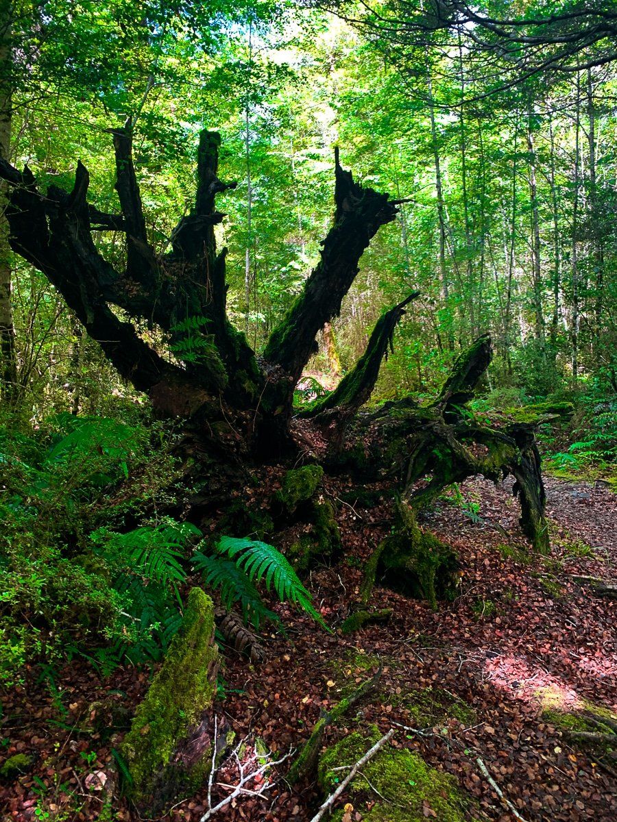
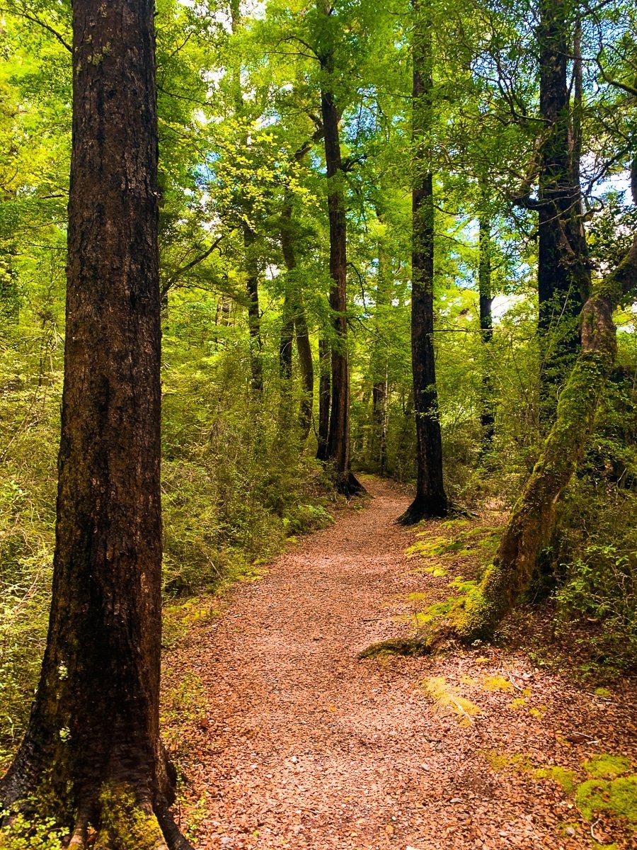
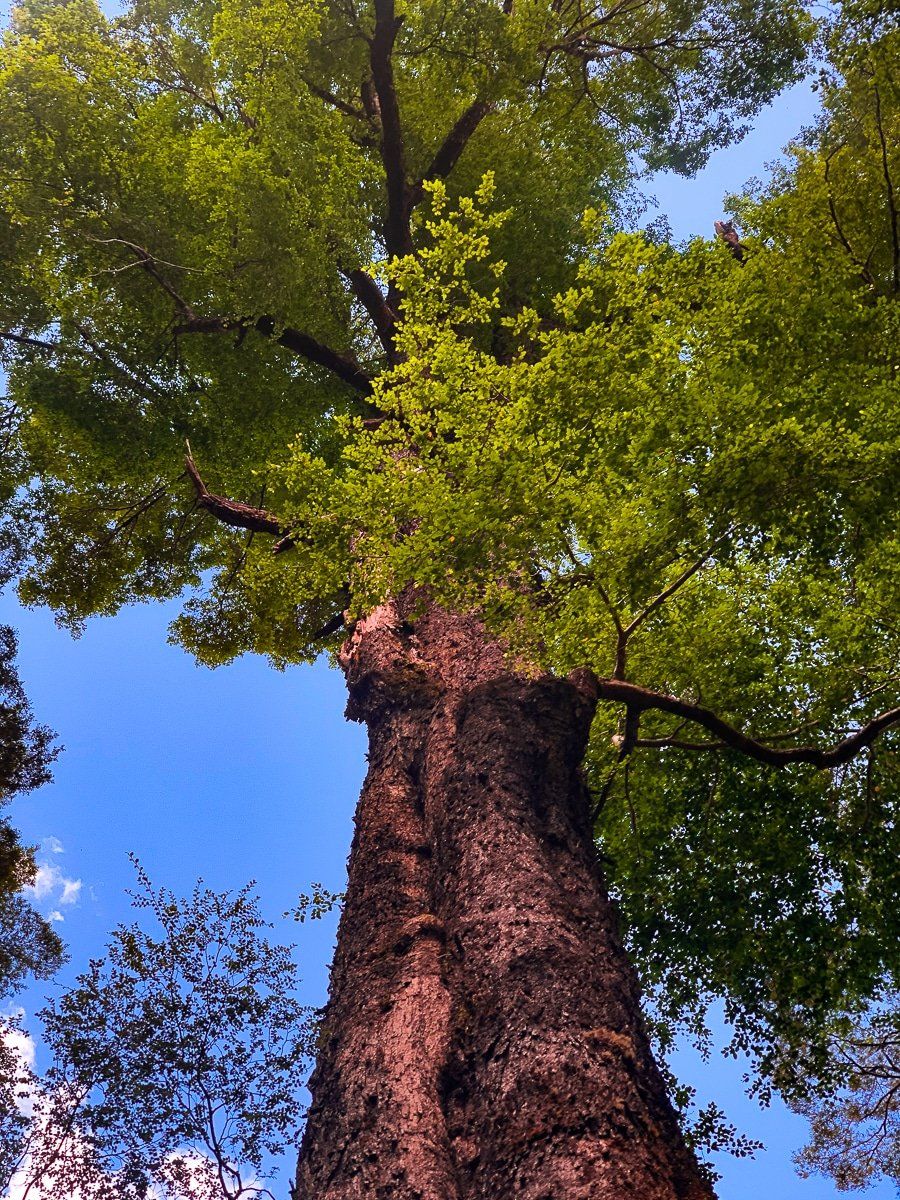
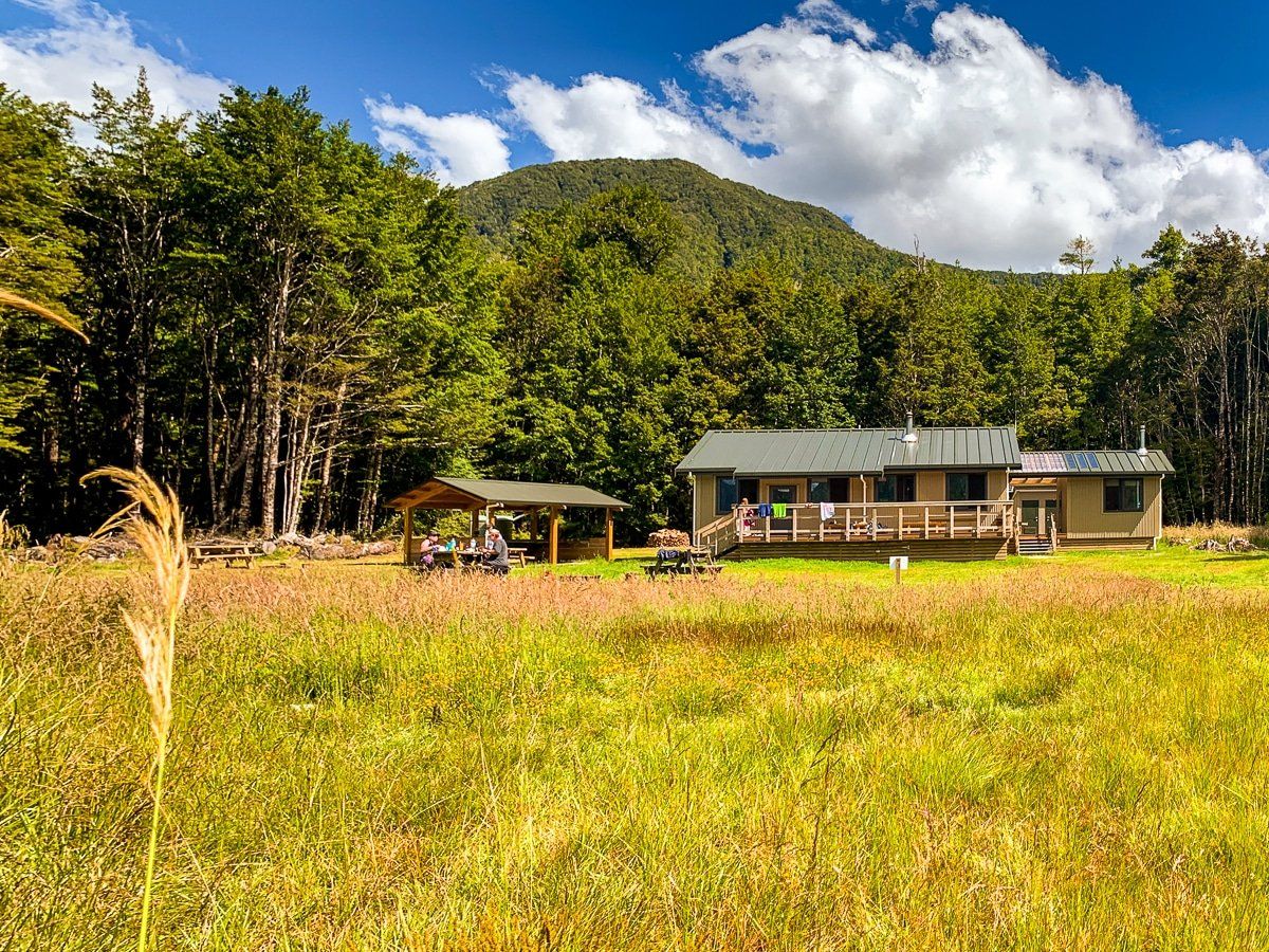
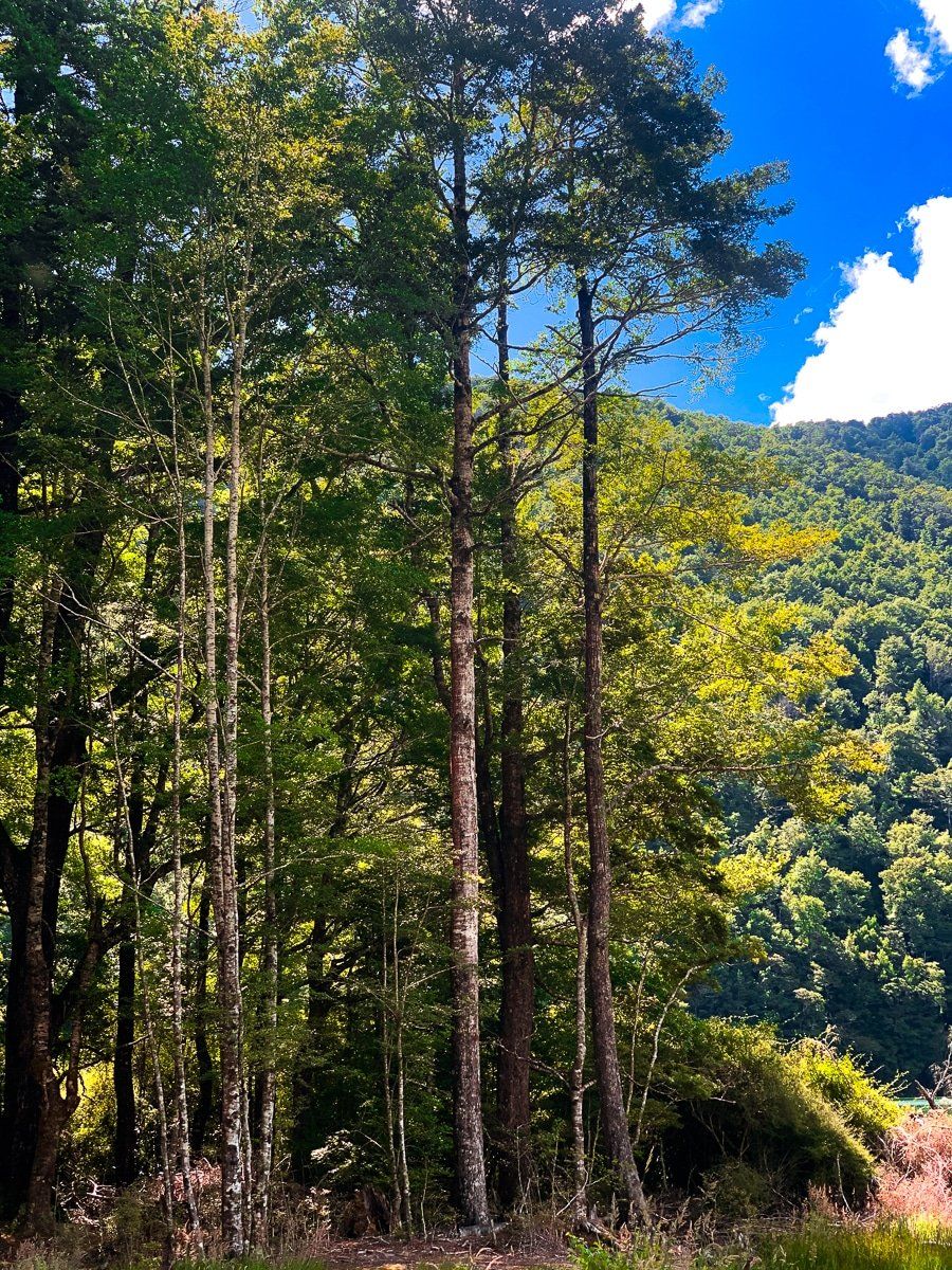
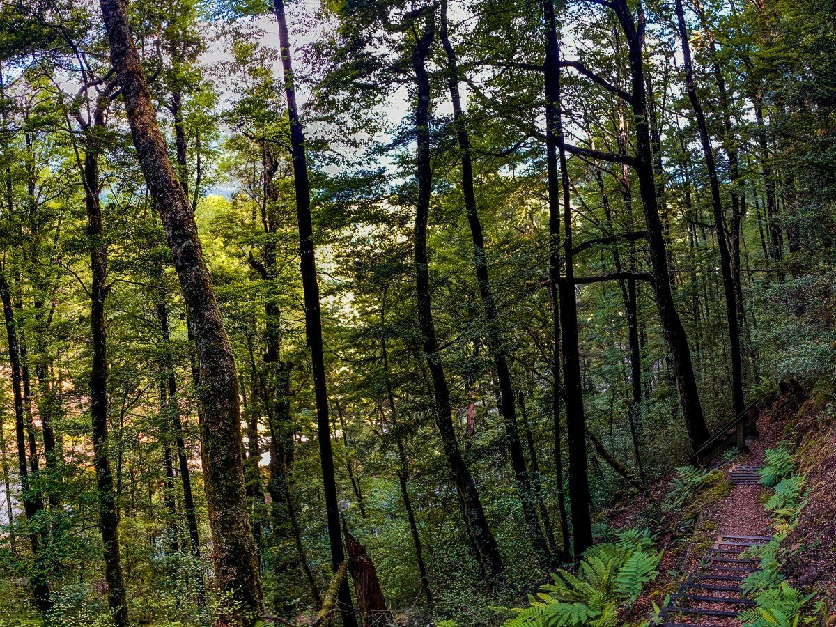
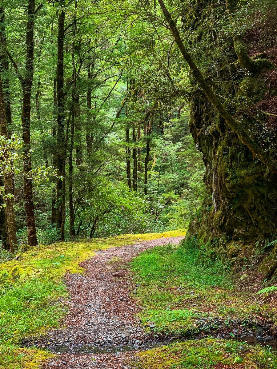
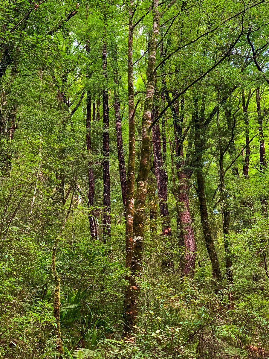
The Lake Daniell Track is about five hours return and a reasonably easy walk, with no major climbs. The entry is about 20 kms from Lewis Pass on the west side, and it sits within the Maruia Waka Huia special biodiversity area. At one stage, the intention was to mill the giant red beech trees you walk past, but fortunately this didn’t happen; it’s now considered one of the best preserved and protected beech forests in the country.
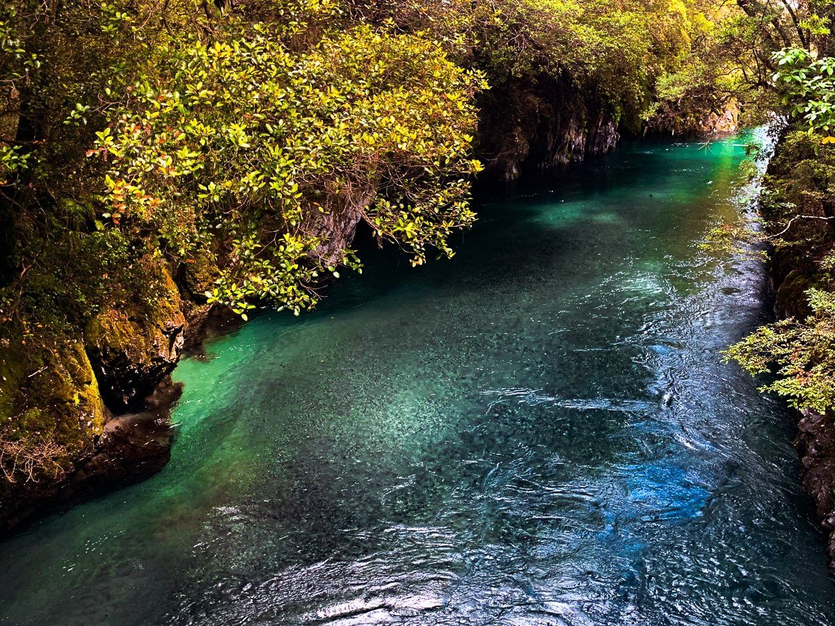
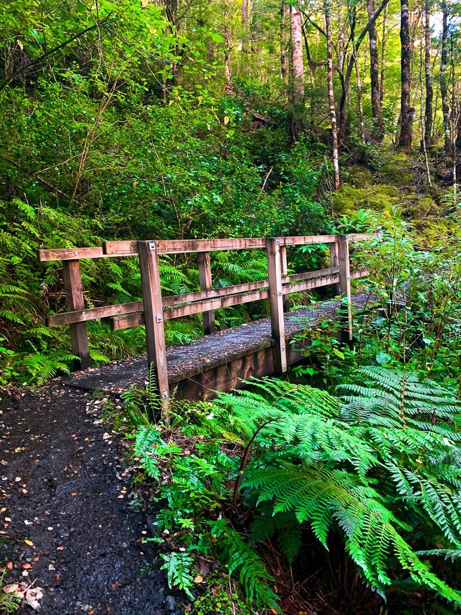
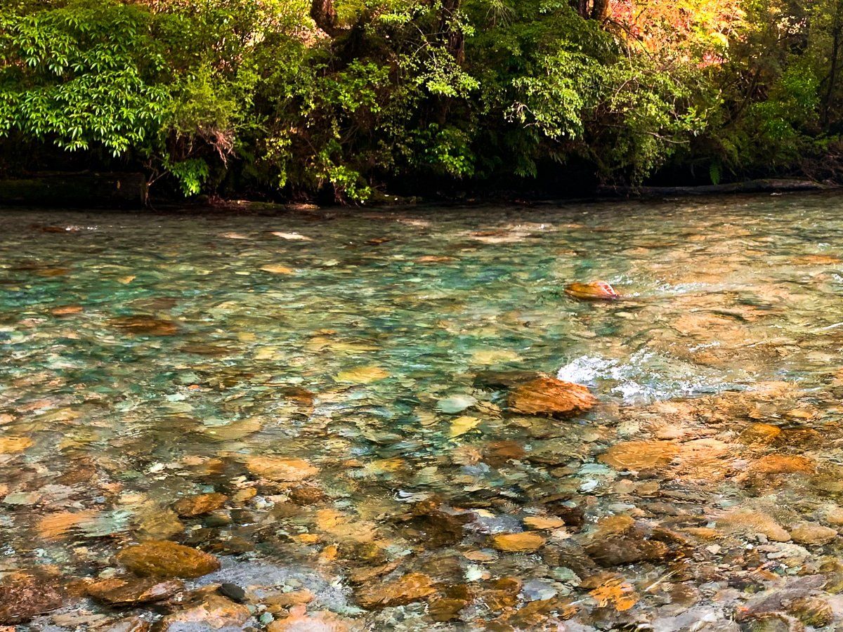
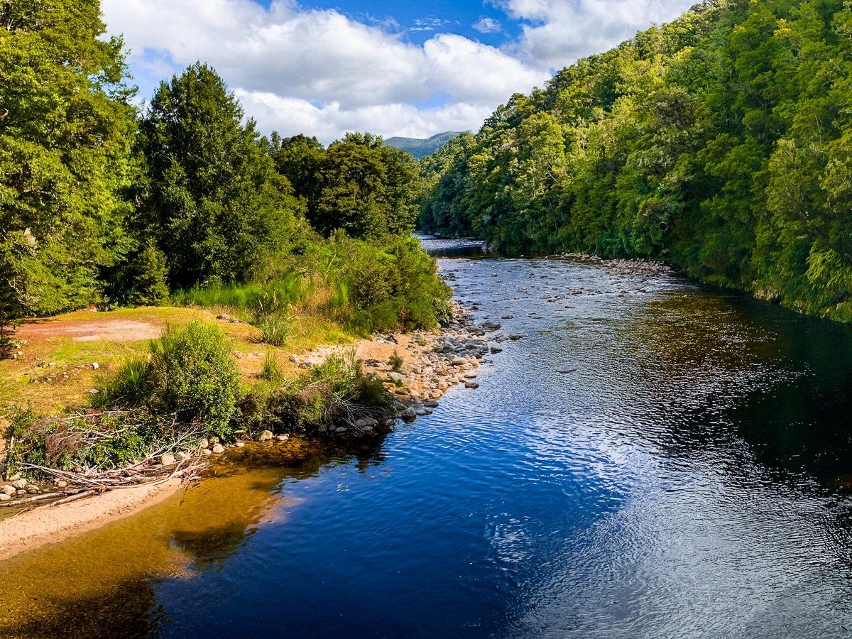
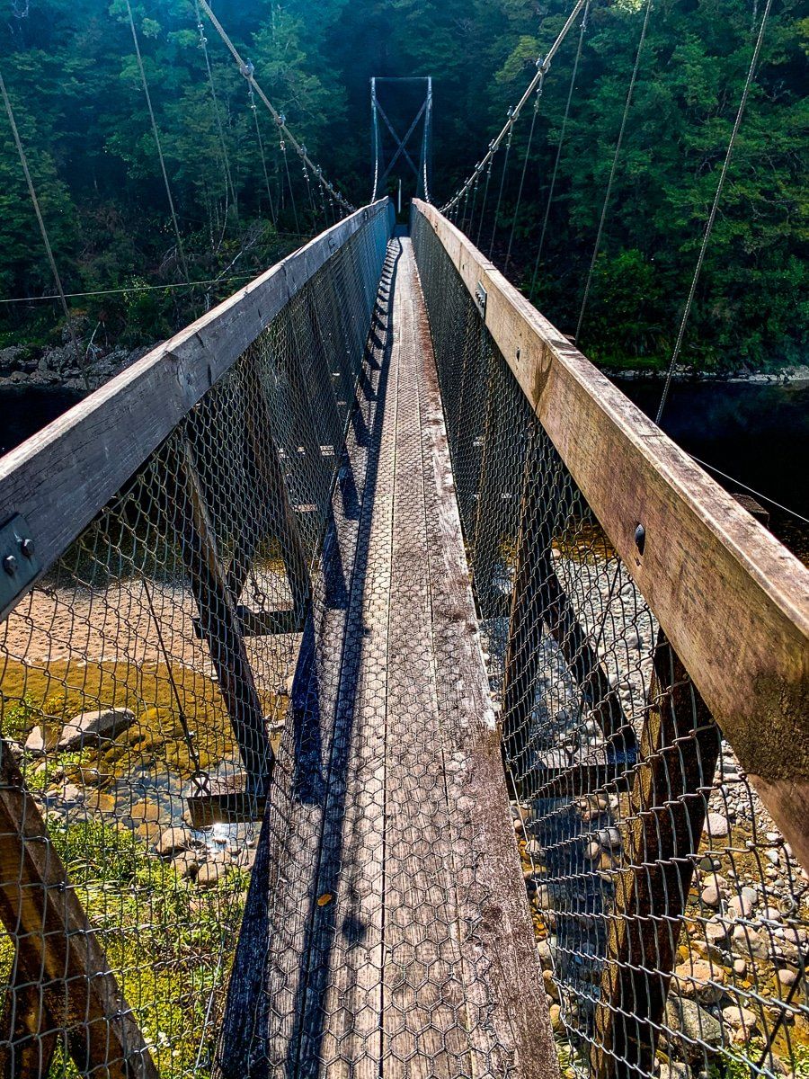
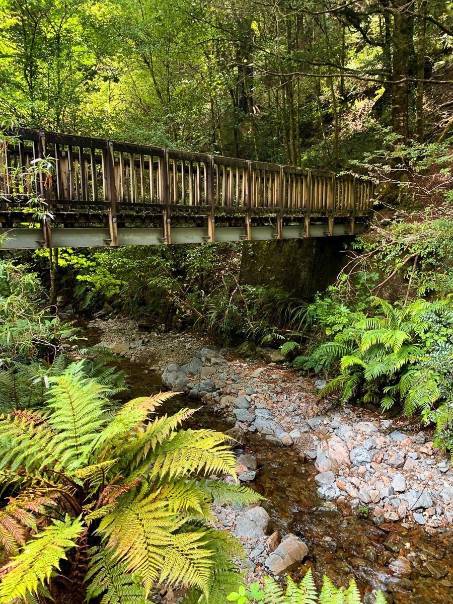
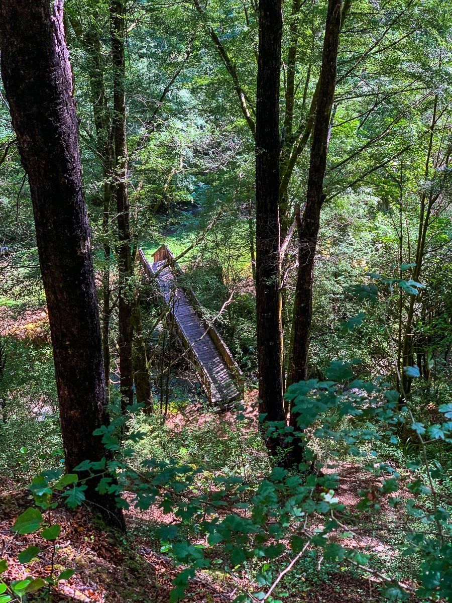
To say the area is extremely pretty is an understatement. The walk starts at the DOC Marble Hill campground, and shortly after the start you cross the Sluice Box bridge over a beautiful short gorge. The track then more or less follows a river, including several gorge high points, before reaching Lake Daniell. You can access and swim in the river at several points along the way.
Lake Daniell
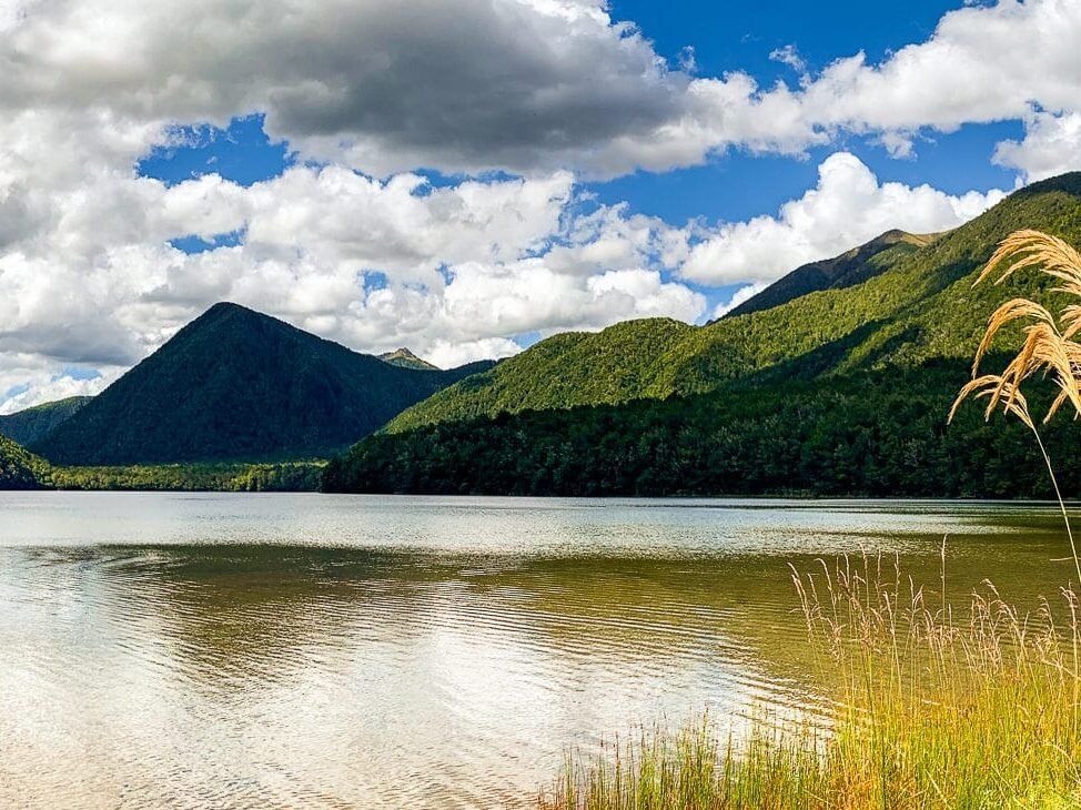
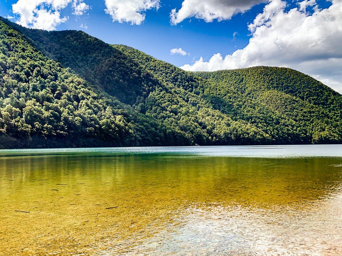
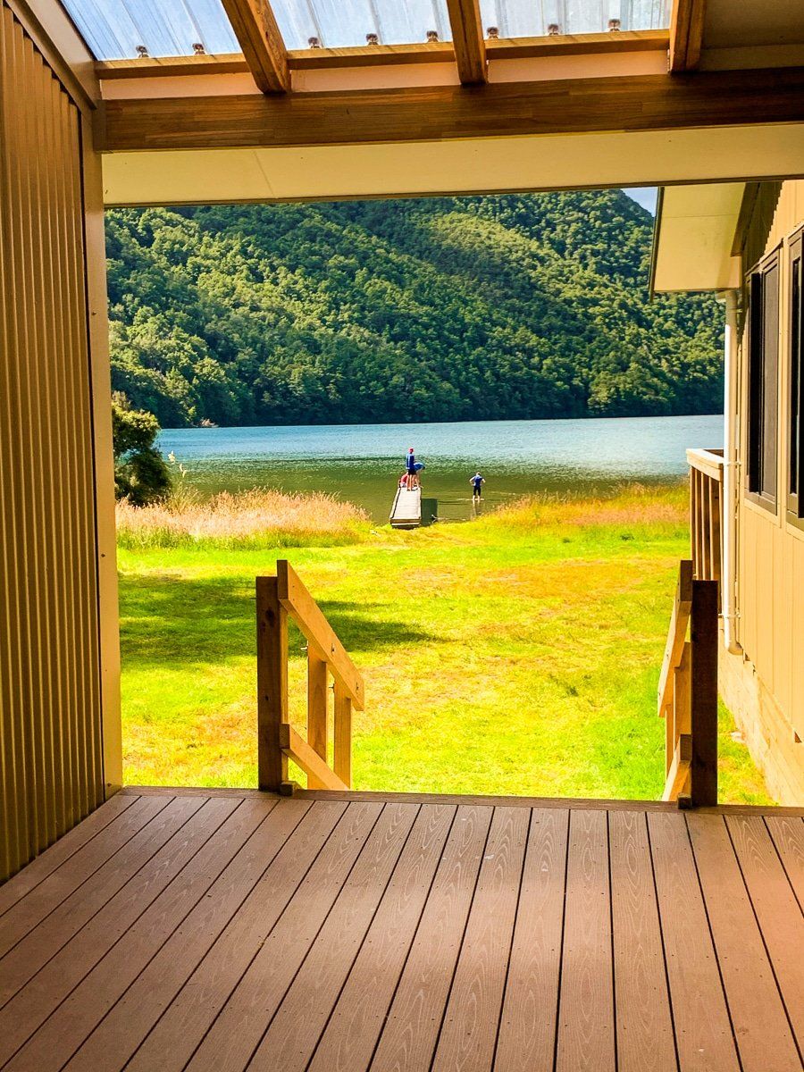
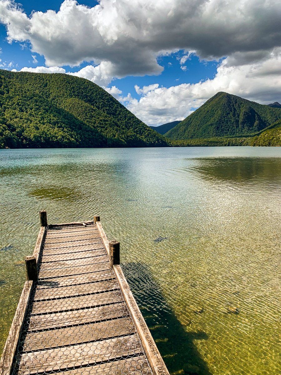
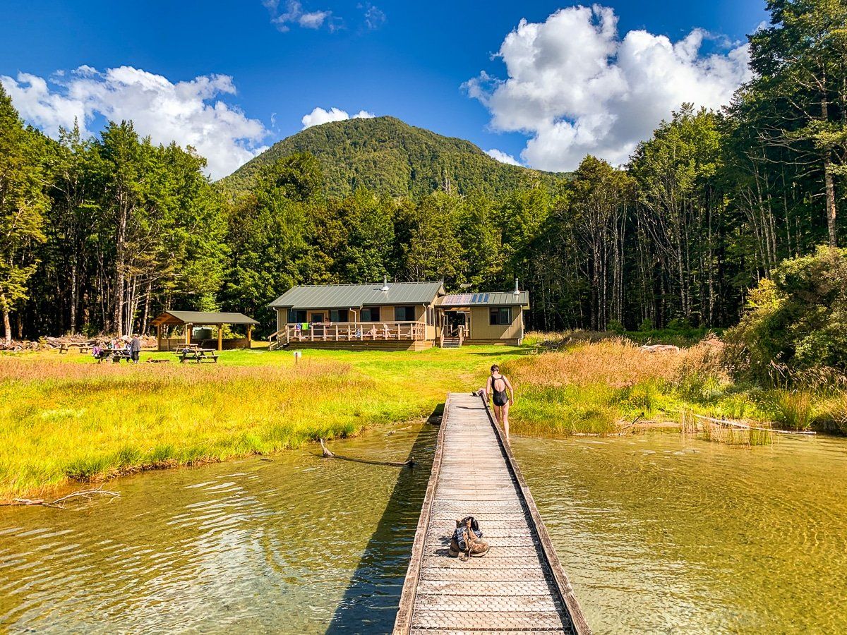
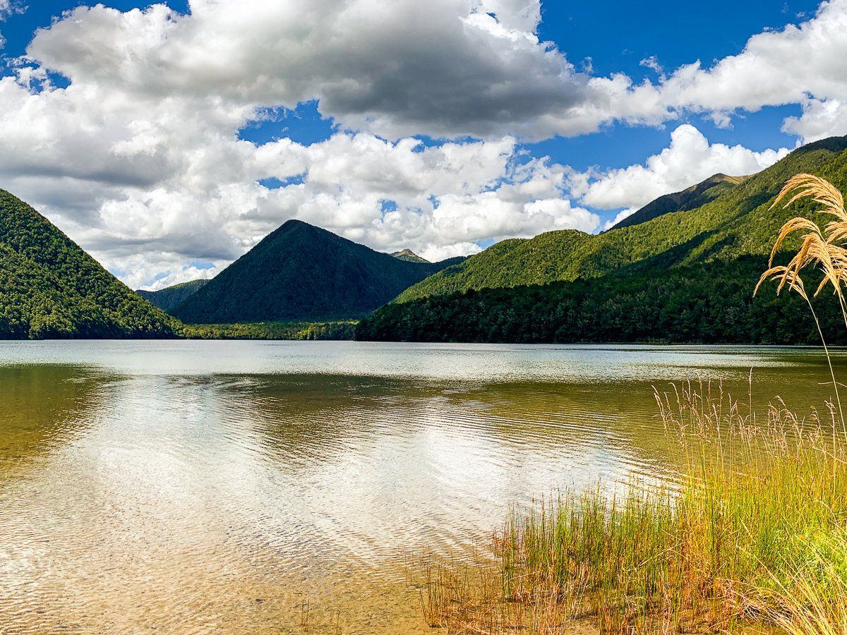
Lake Daniell marks the end of the track. It was created by a landslide and is lovely, surrounded by beech forest clad low mountains. The water is shallow, so not too cold and safe to swim in, and there’s a jetty as well.
You can book online to stay overnight in the modern DOC Kohanga Atawhai Mason Nicholls Hut or campsite, although it is popular with families during the peak season and weekends.
Inangahua Swingbridge
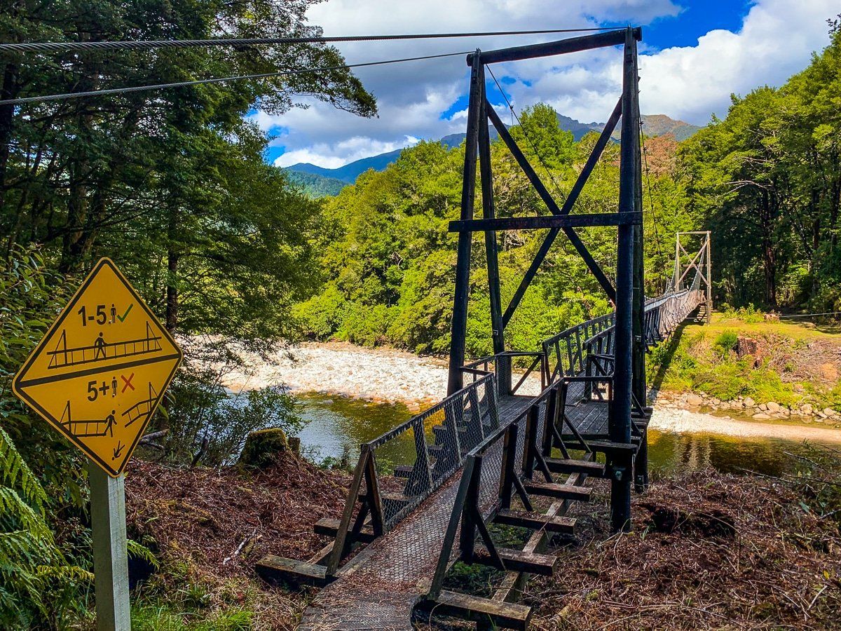
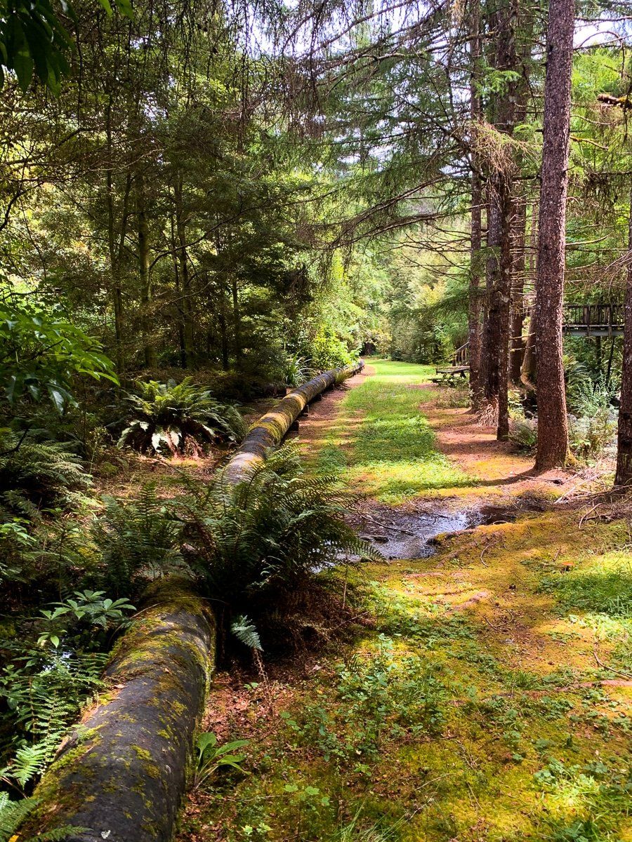
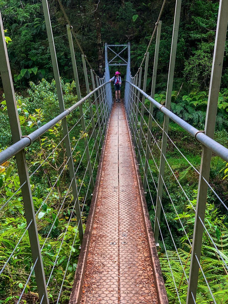
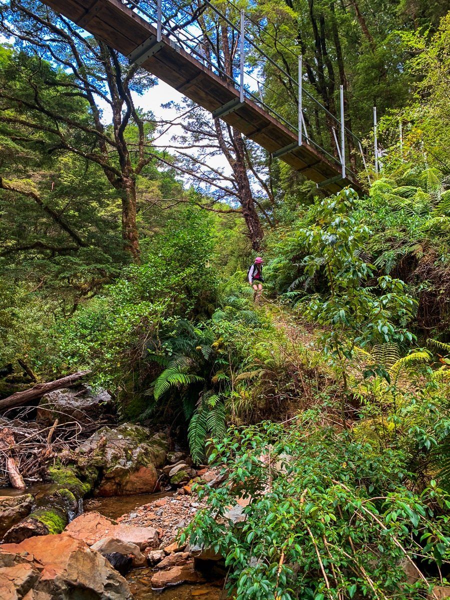
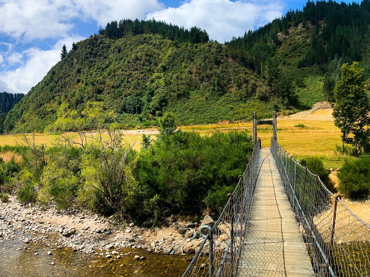
Continue on the Lewis Pass Road to Springs Junction, a plain with farms and a modest service town, then head into the Inangahua River Valley to Reefton. About 10 kilometres southeast of Reefton you’ll find the entrance to the Inangahua Swingbridge and the starting point for the Progress Water Race Track, which you can follow to the Big River Track. These tracks were initially developed to access gold bearing reefs in the surrounding hills and mountains.
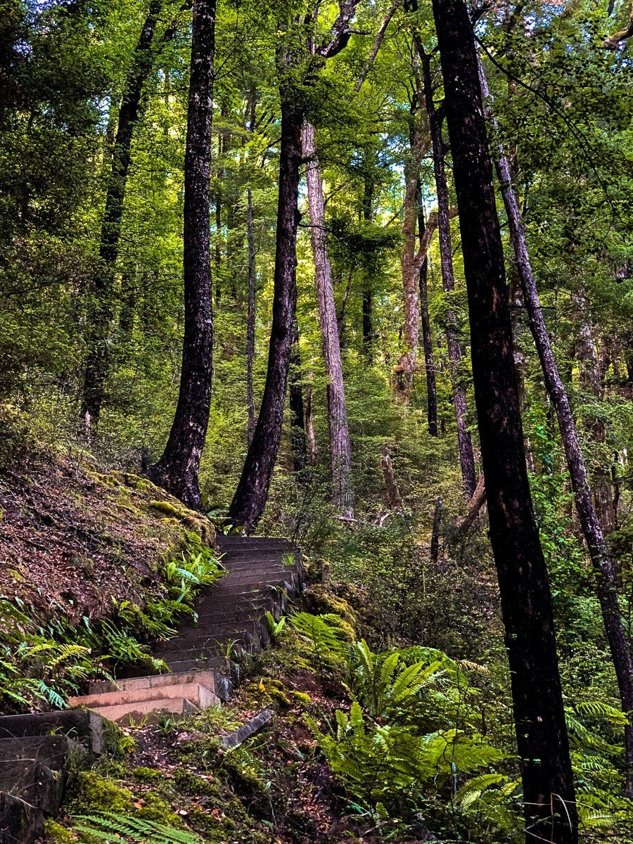
If you take the track it’s a six hour walk to the historic Big River ‘Quartzopolis Goldfields’ and an overnight DOC hut. You can also access the area from Waiuta, which is a five hour walk one way. For those short of time, cross the Inangahua Swingbridge and walk up the track for a while into Victoria Forest Park. The river itself is pretty and the track starts by climbing up through stunning beech forest.
Reefton
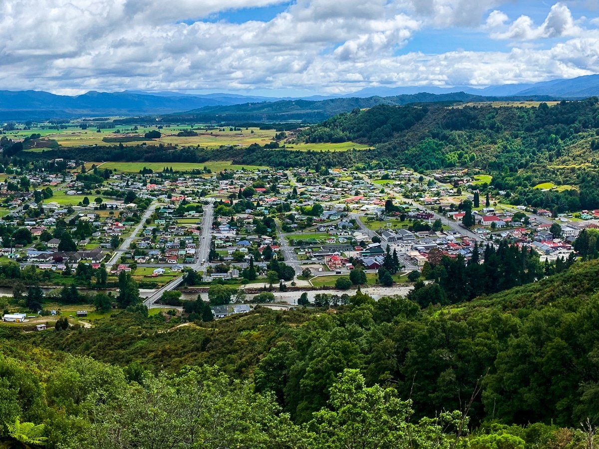
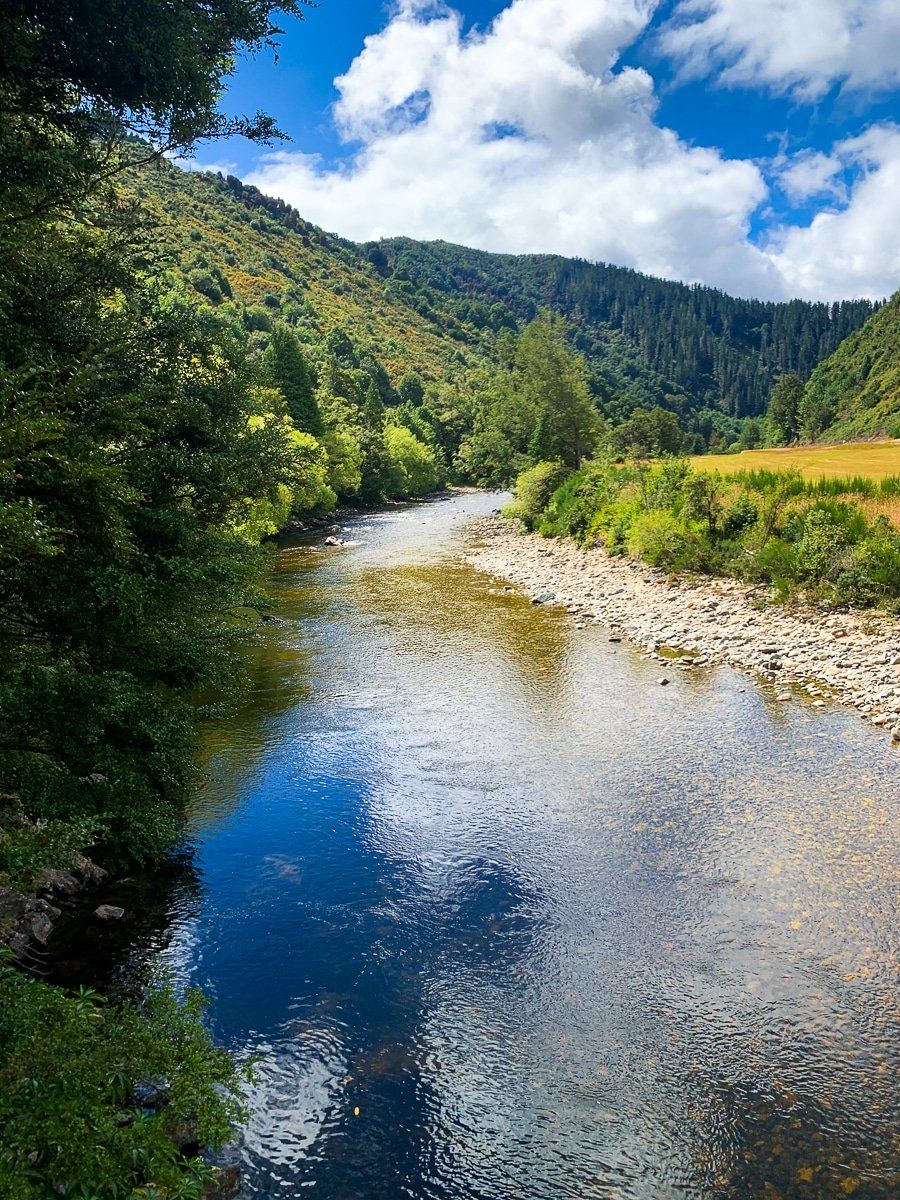
Reefton is the centre of what used to be a large gold mining district, and is now the main access point for the Victoria Forest Park tracks, which lead to the old mining sites. You can camp by the river, or stay in Reefton itself. The town is on the side of the Inangahua River, where you can swim, and there’s a walk/cycleway following the river that takes you to the site of the original power station to the south of the town.
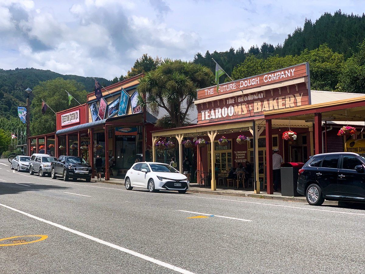
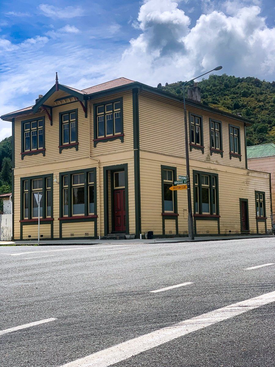
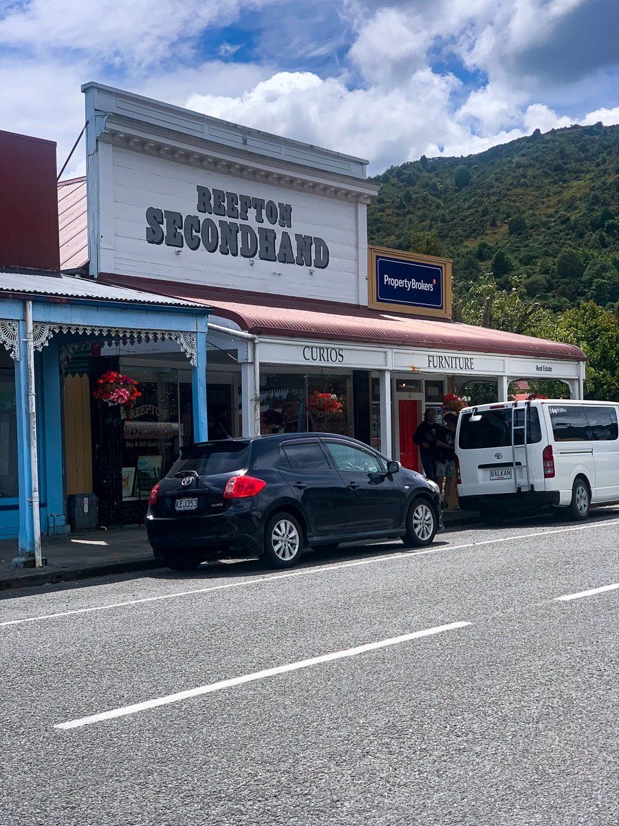
Like many post-mining rural towns, Reefton still has much the same look of its peak mining days. It has been a gradual process, but the old wooden buildings on the main road are being renovated and a range of interesting small businesses are now present, including good cafes and a distillery. The local iSite is excellent and includes a great display of the history of the town and region, plus there’s a rough side road from Soldiers Big River Road that takes you to a viewpoint above the town, or you can walk up from near the historic power station site.
Thanks to Quaint and Curious who kindly let me take a photo of their very cool window display!
Blacks Point
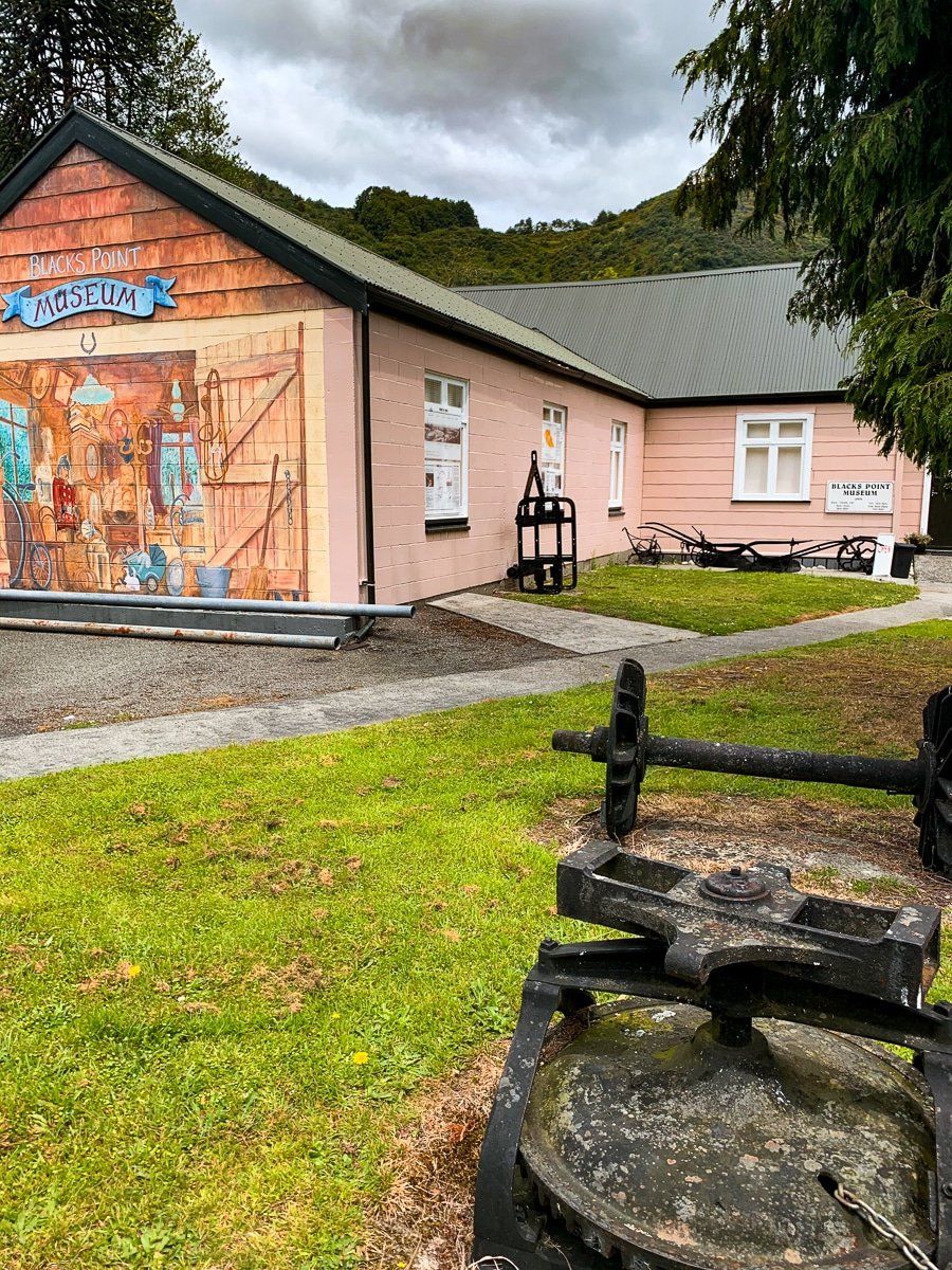
Blacks Point is a few kilometres along the road from Reefton, and it used to be a major access point to the gold fields in the hills above the Inangahua River. There’s a small parking area where the main Victoria Forest Park track network starts, and next door is a little museum.
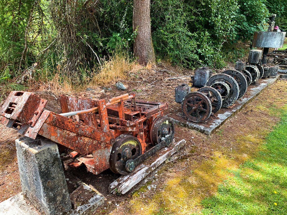
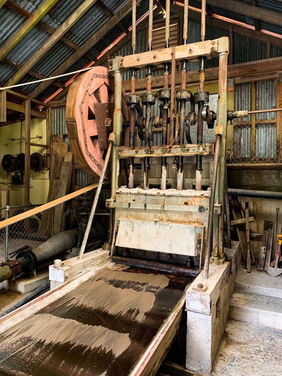
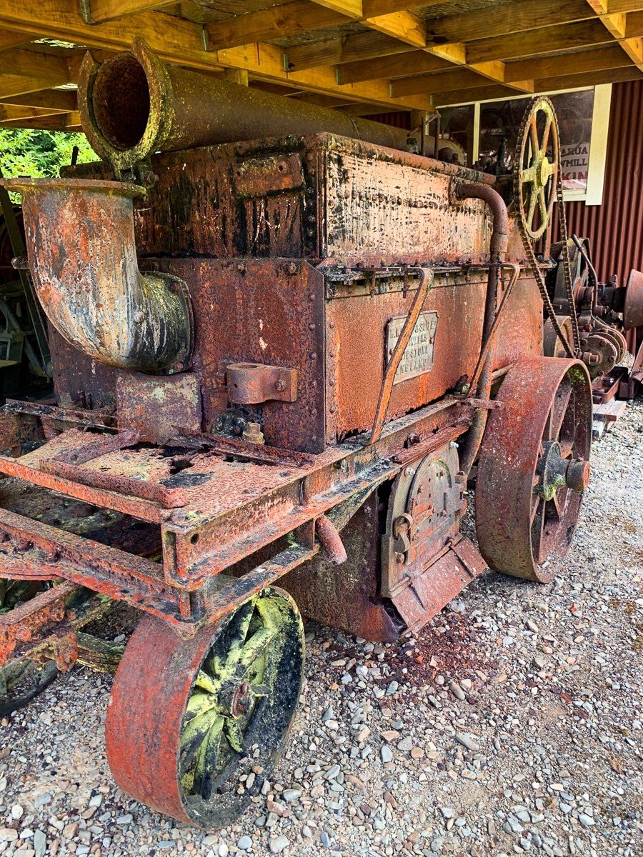
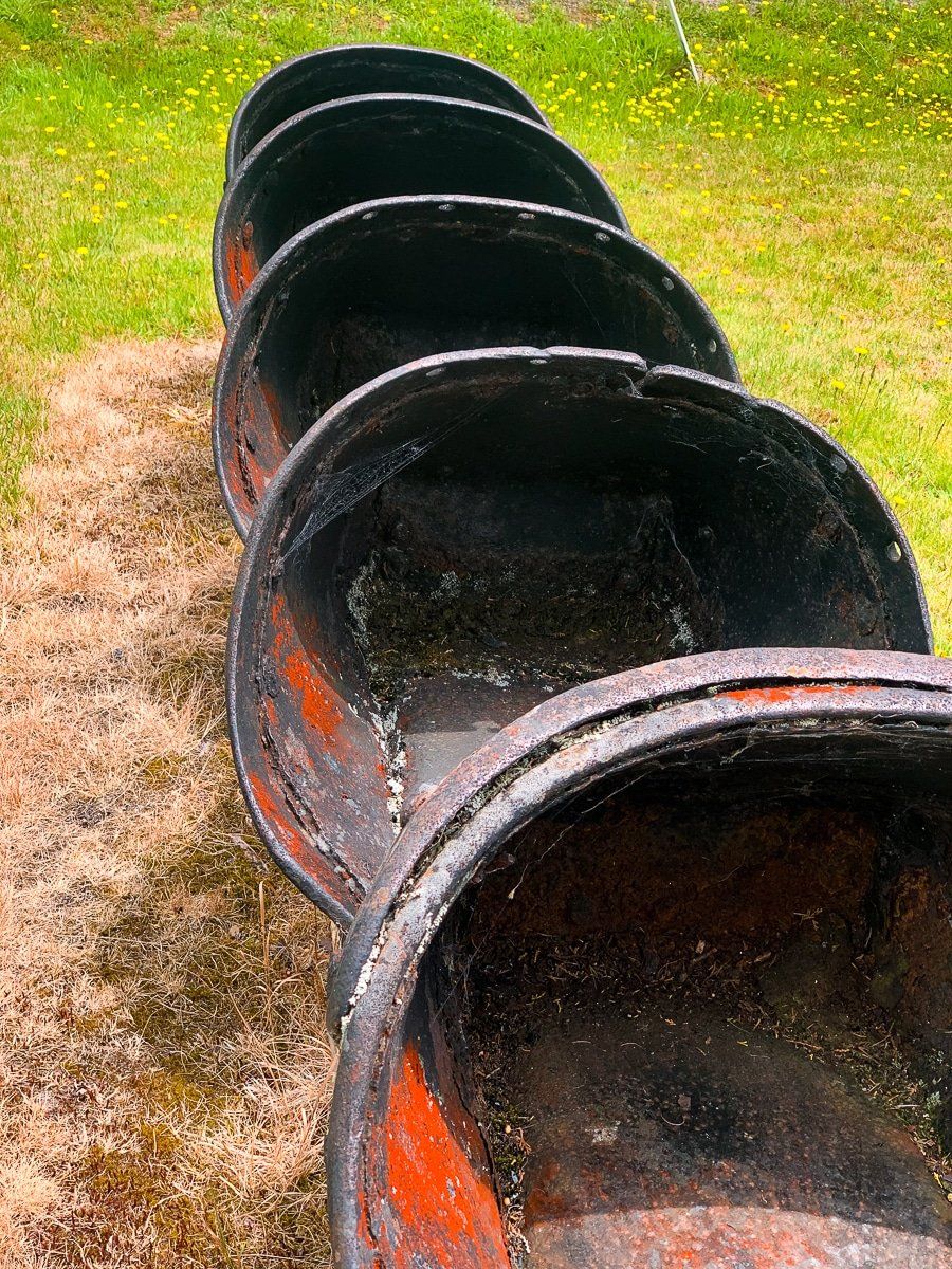
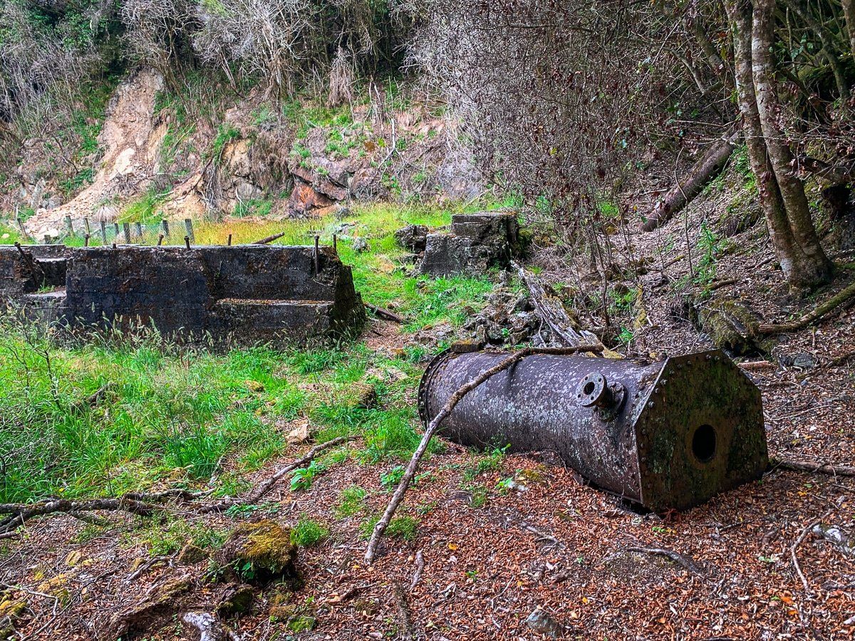
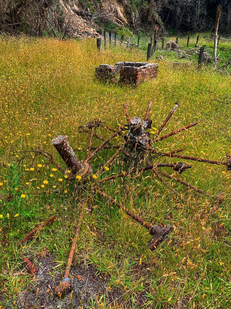
There’s also more parking above the museum and next to an old, still functional stamping battery – we recommend asking the museum keeper to open it up and turn it on for you! Just above the battery is another access point to the track network, and various bits of equipment from the gold days are scattered around the area.
Murray Creek Track
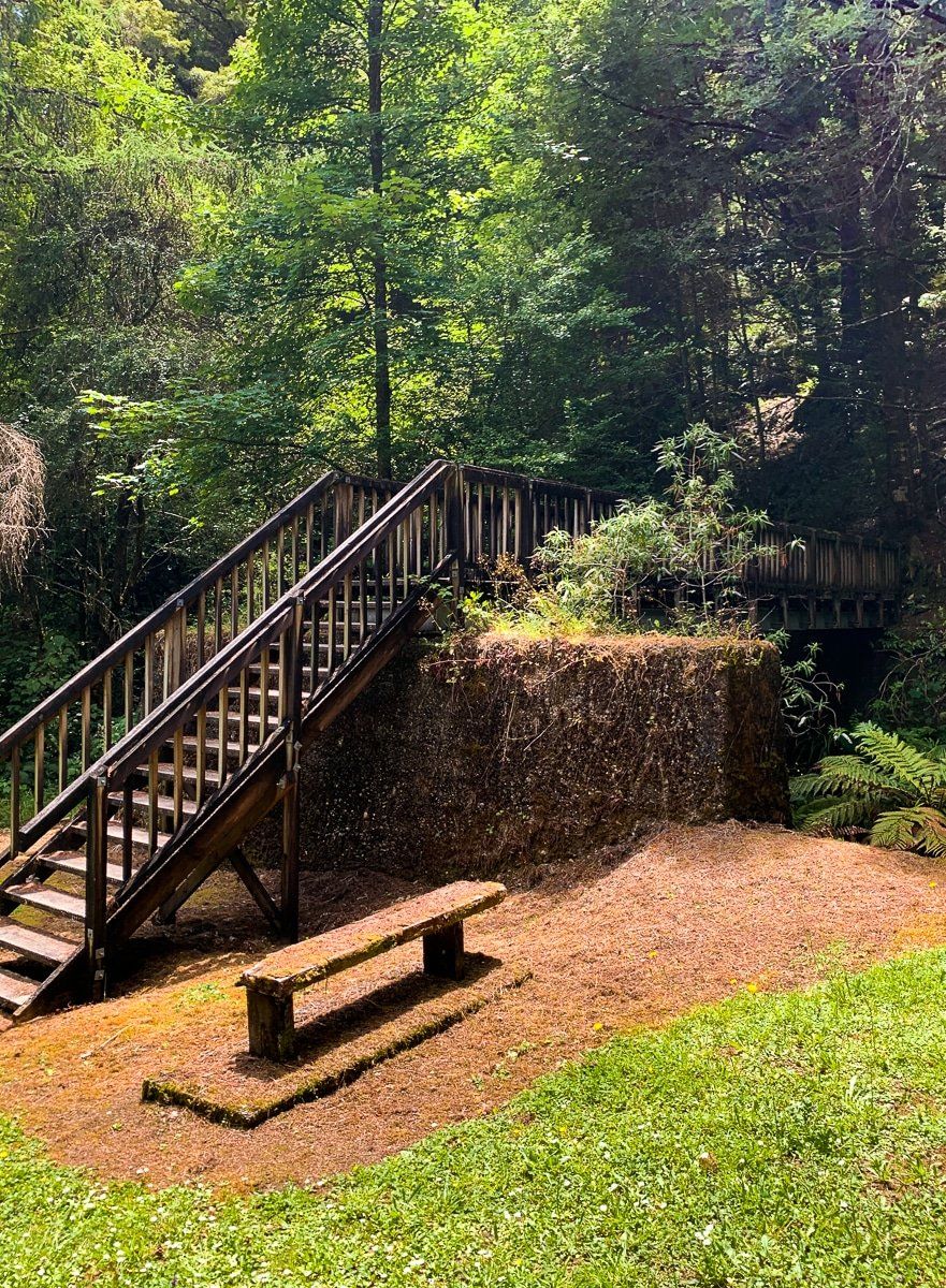
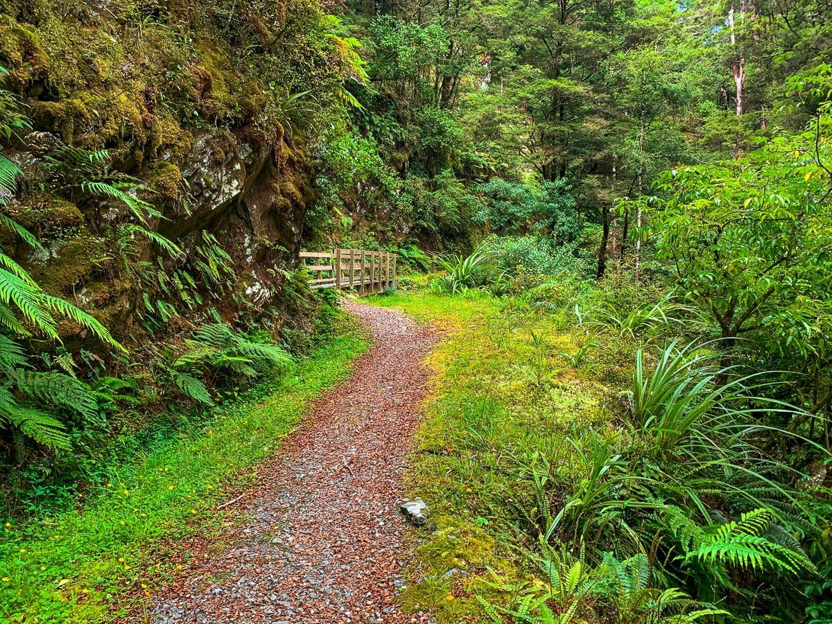
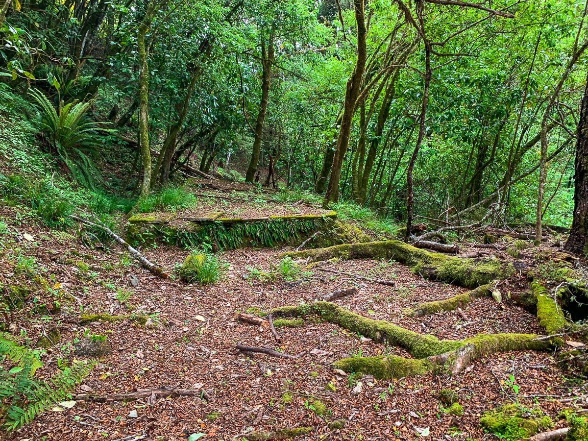
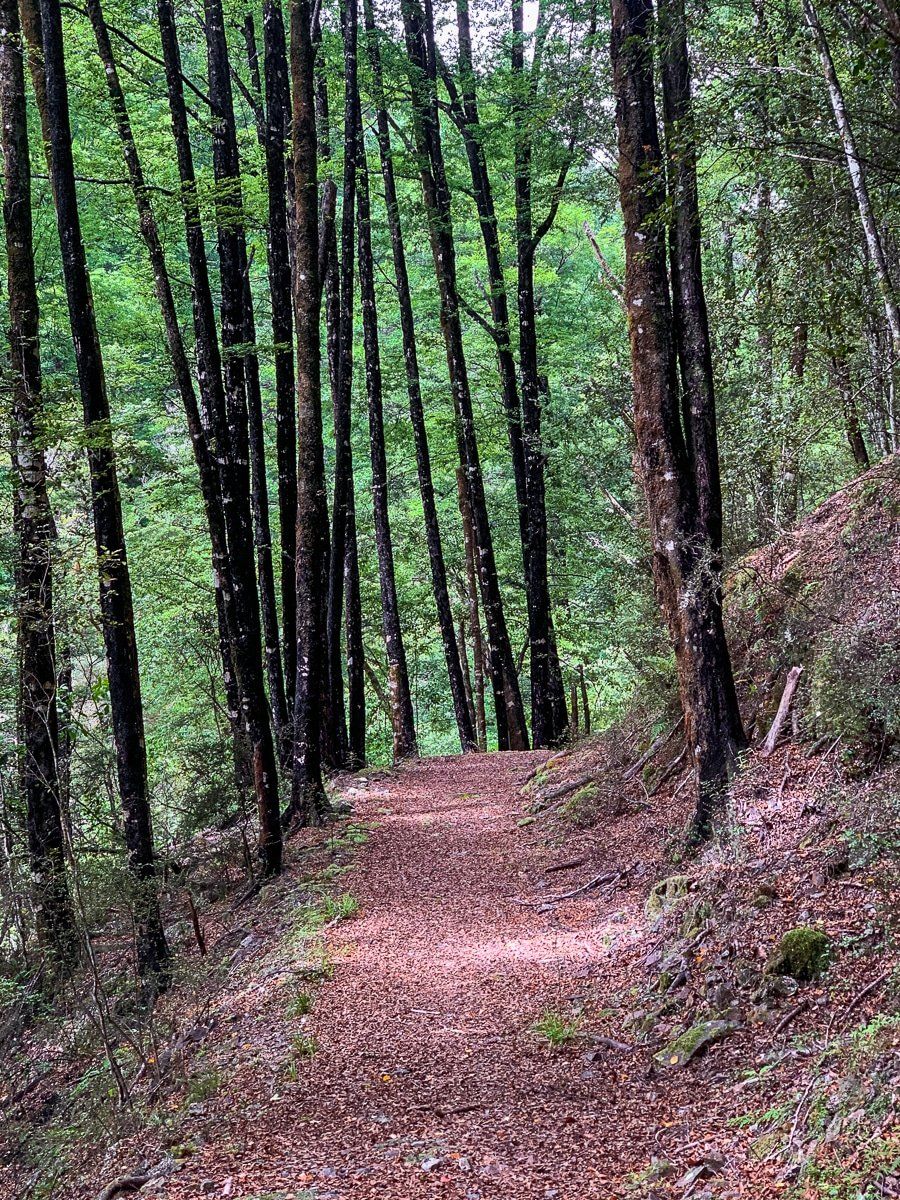
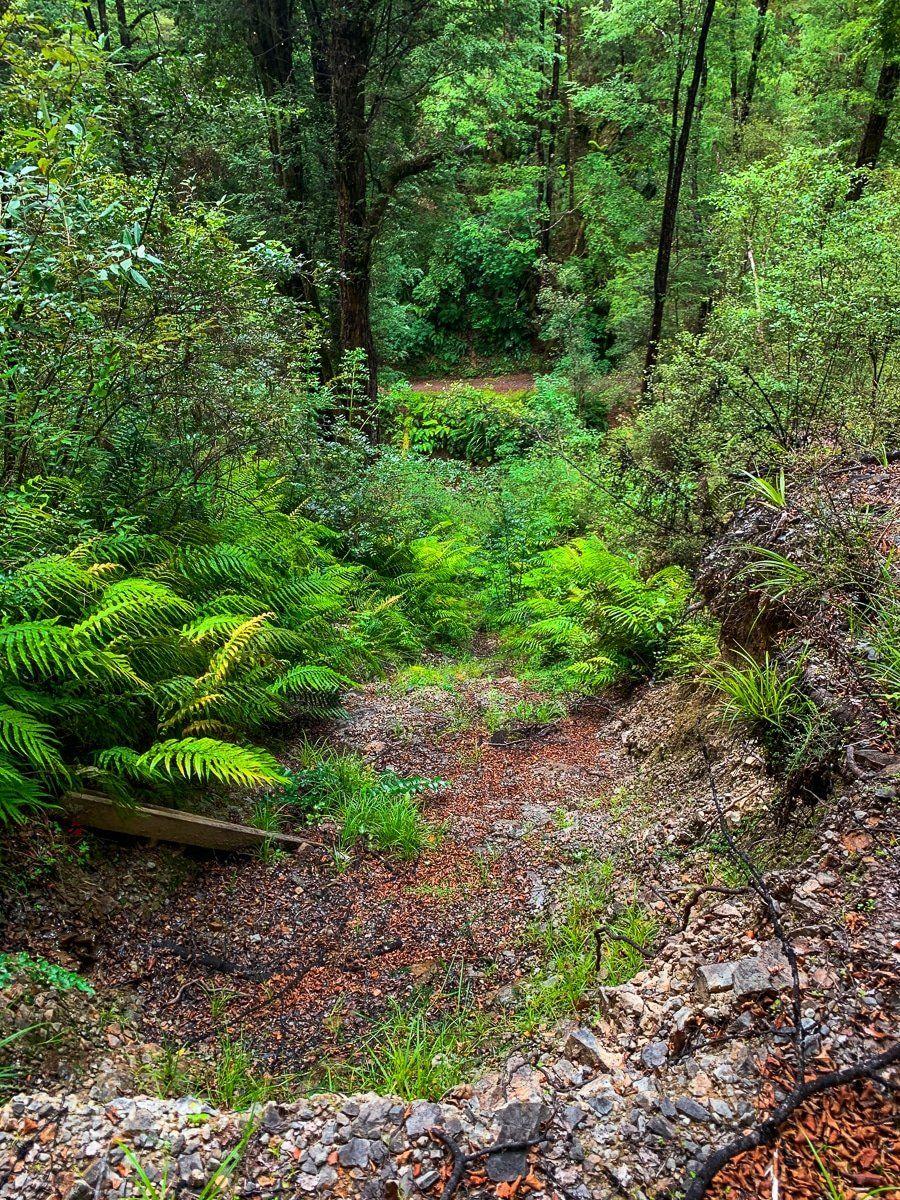
From Blacks Point, you can follow a forest loop track that takes about five hours and connects with several old mining sites. A shorter option is to walk or cycle from the side of the loop that goes up Murrays Creek until you reach a swing bridge over the creek. You can get your industrial history kick by carrying on to the old mine at Cementown (you gotta love these mine names!) or go right along an old tramway to the Energetic Mine before returning the same way.
If you have more time or are on a bike, you can go further than the loop to the Waitahu River and find an even more remote set of tracks and mines.
Energetic Mine
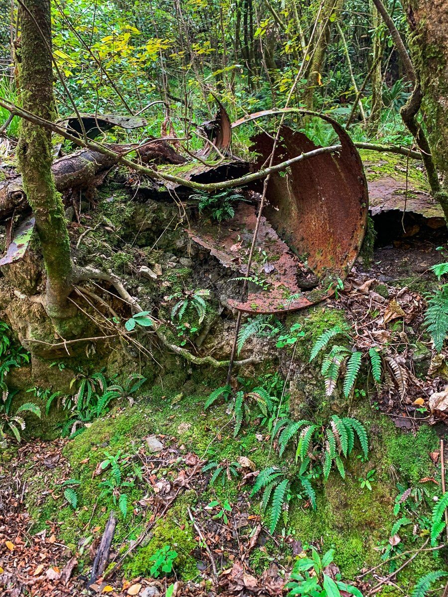
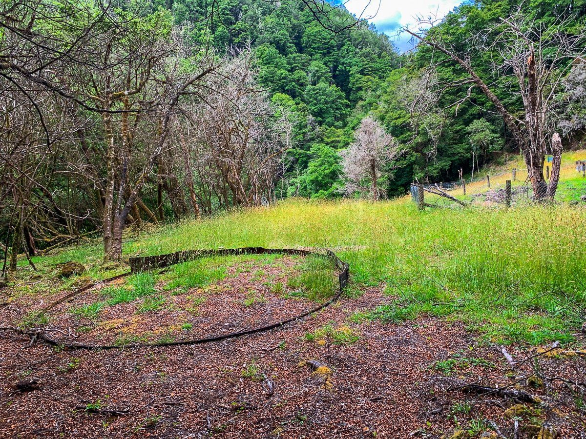
Energetic Mine is high above Murray Creek. There’s a good view and plenty of relics from the mining days where people simply threw their tailings over the edge. The deep shaft is now collapsed, with bits of rusting mining gear lying around. Spend a moment thinking about the effort it took to develop these mines in the 1860s and the fact that the forest will ultimately reclaim it all. From Energetic Mine, the track continues above the Inangahua River valley.
Reefton Historic Power Station
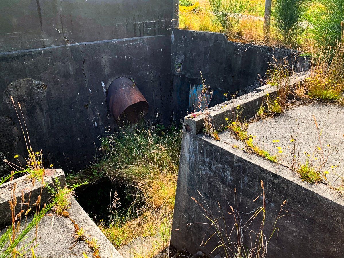
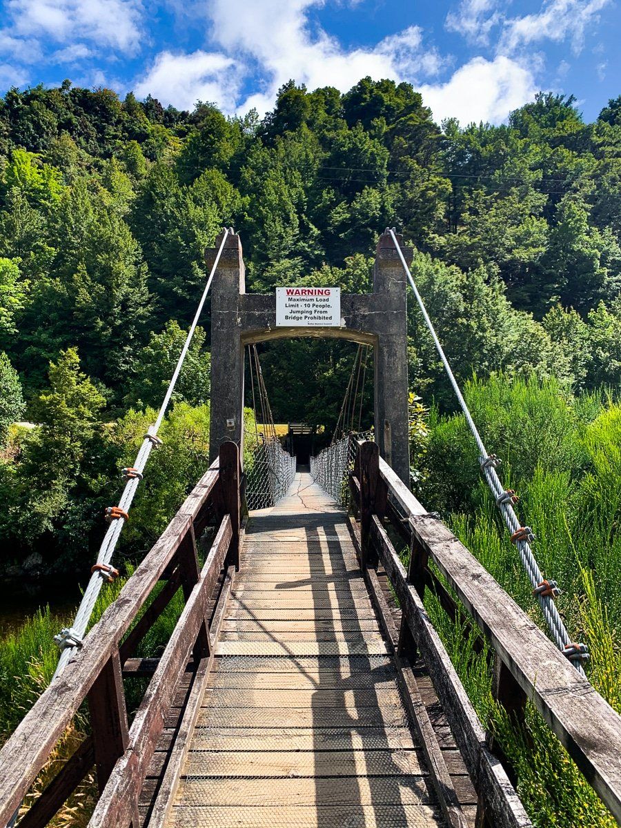
Reefton Historic Power Station was the first hydro public power generator in the country, a small station that has long been abandoned. You can get there by walking east along the Reefton riverside track to the swing bridge, or driving across the river and taking a swift left turn down Rosstown Road; the site is at the end of the road.
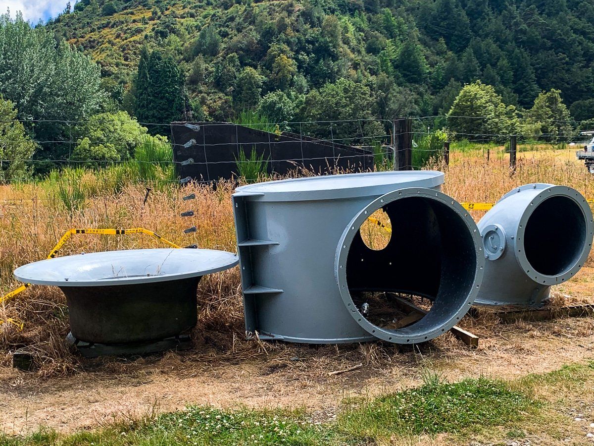
The walk is pleasant and the old swing bridge is fun (if nerve-wracking!), but sadly the station itself looked ill maintained when we visited. There seems to be a proposal to restore power generation at the site, and even some modem parts lying there waiting to be deployed. Hopefully it will happen and the site will be a bit better cared for.
Looking for more Canterbury trip ideas?
Check out our recent posts on Kaikoura to Hanmer Springs and Hurunui Mouth, Gore Bay and Kaikoura.
