
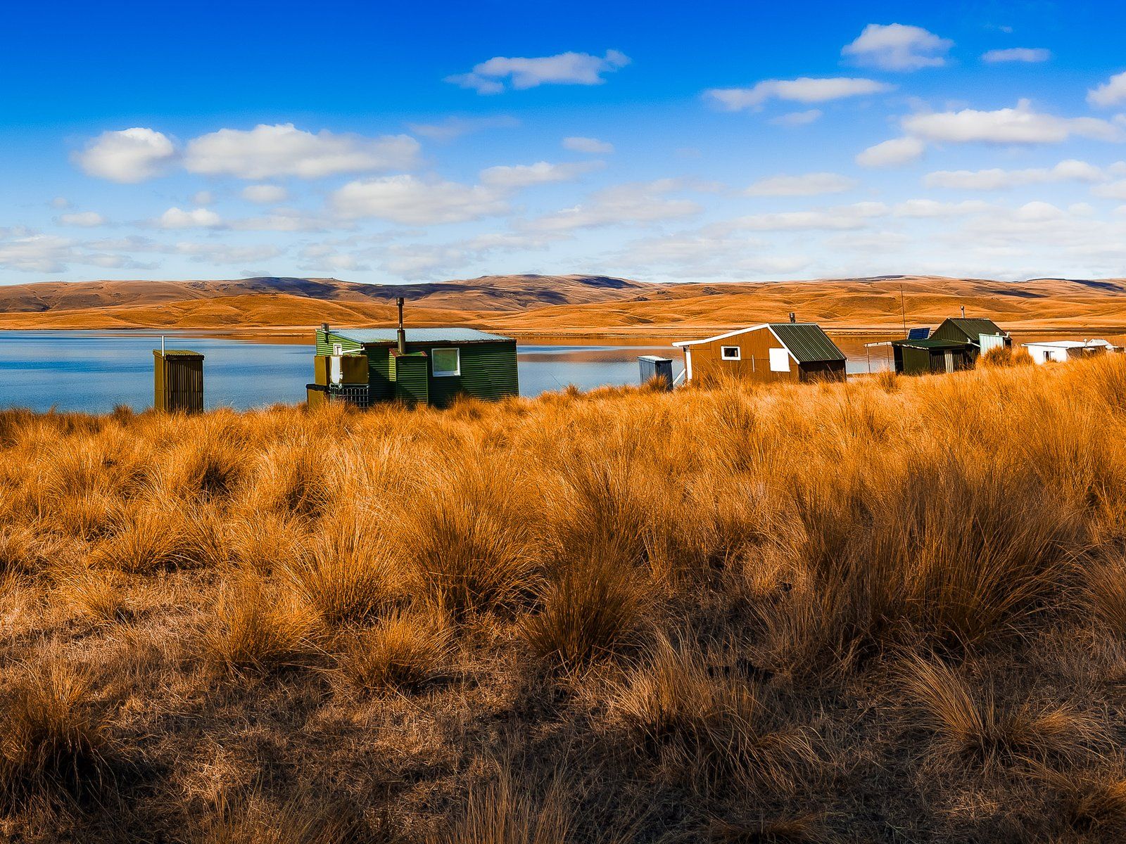
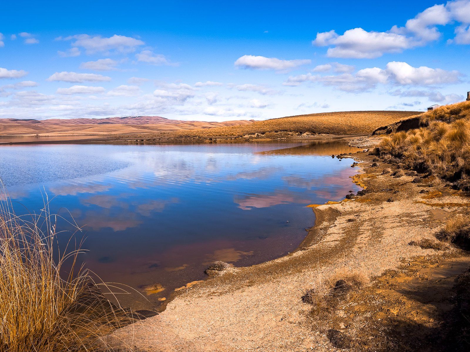
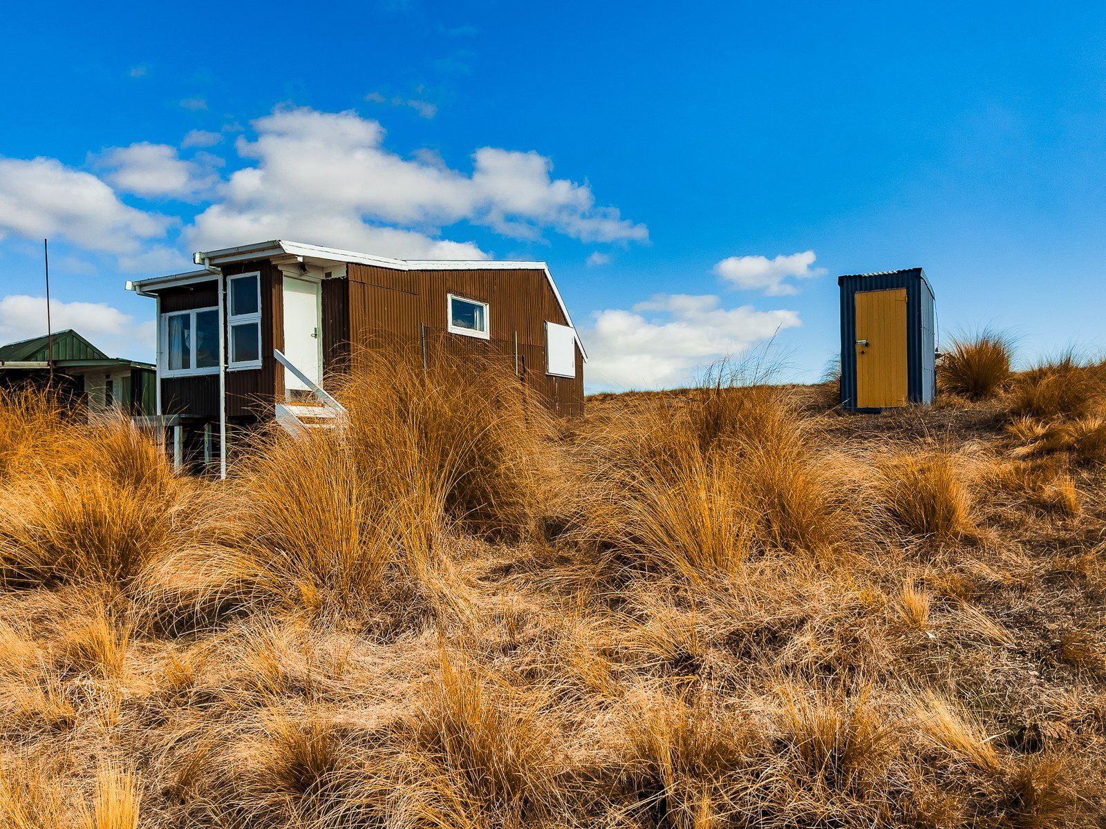
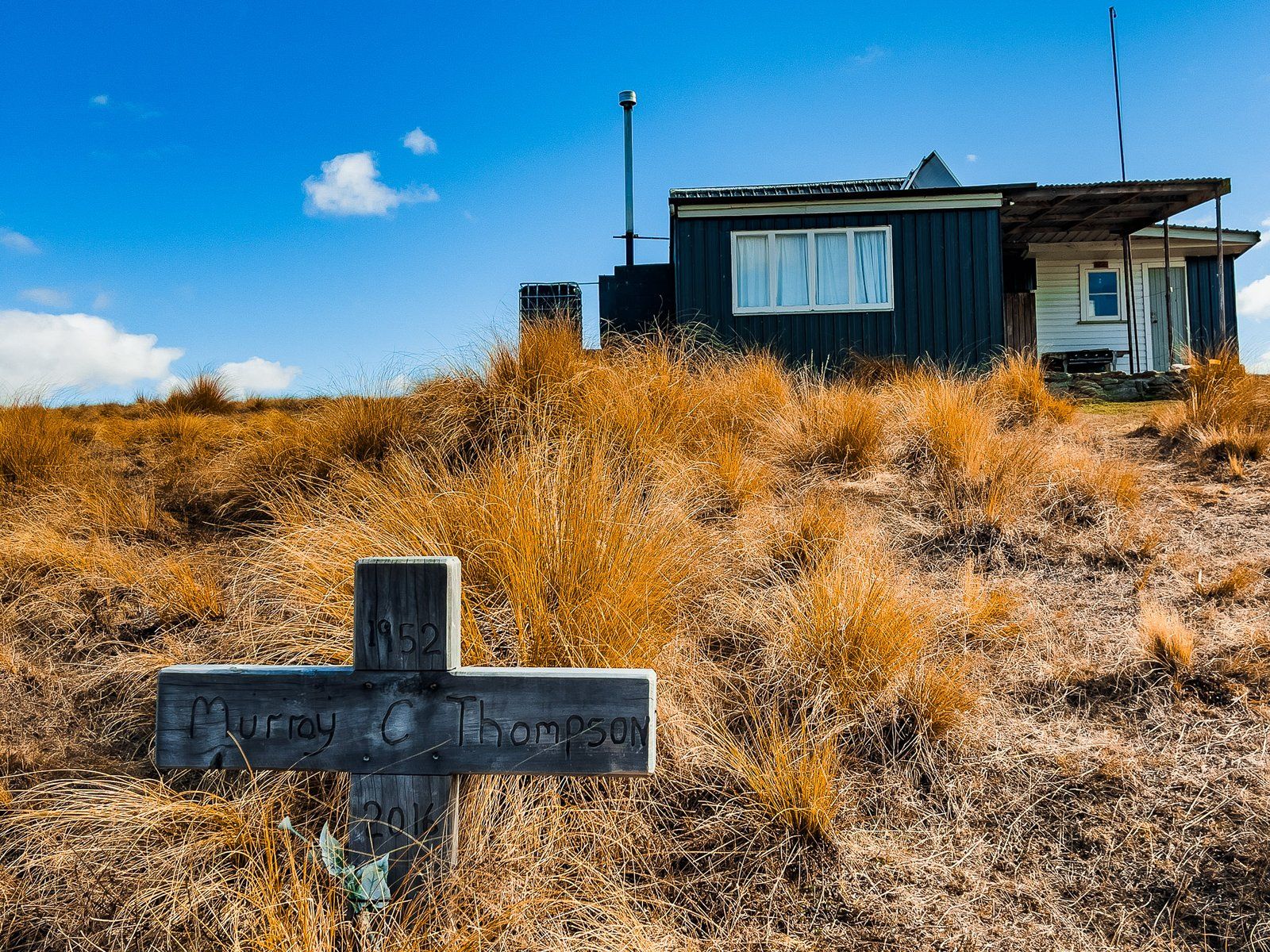
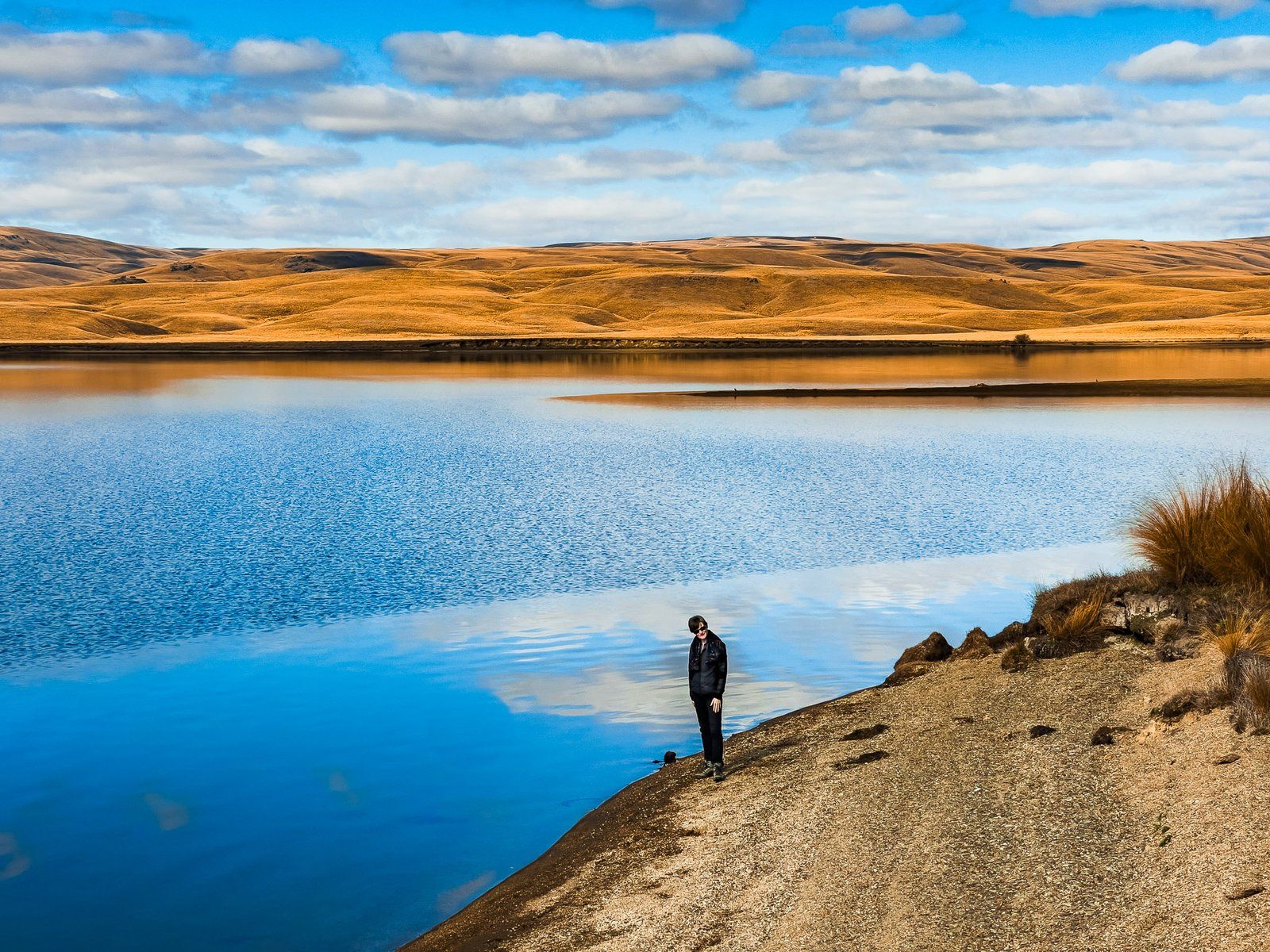
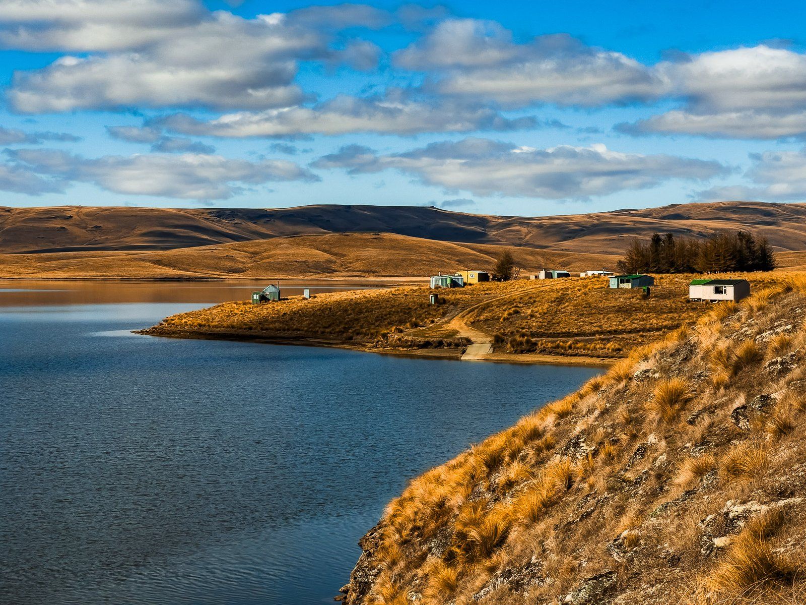
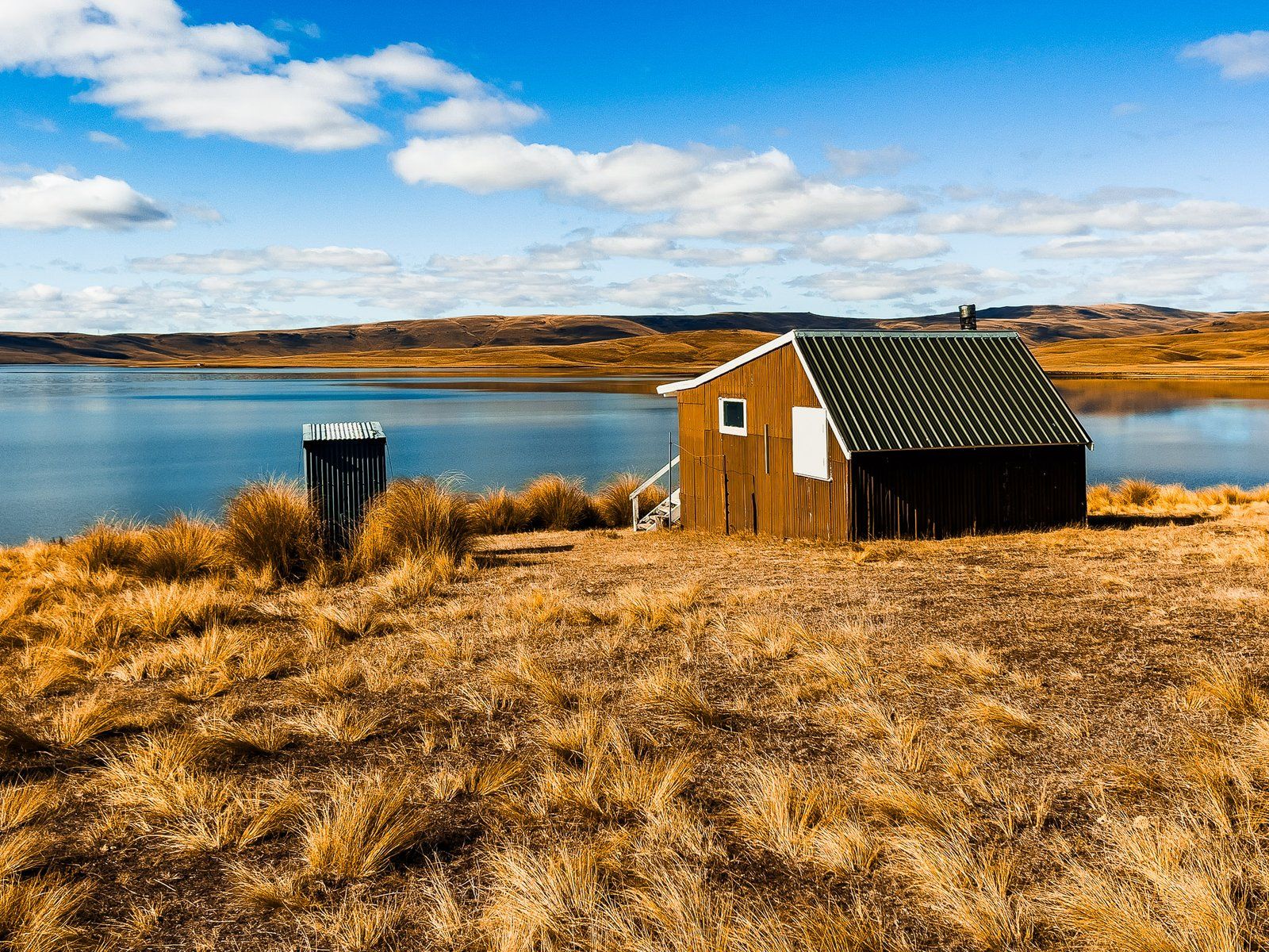
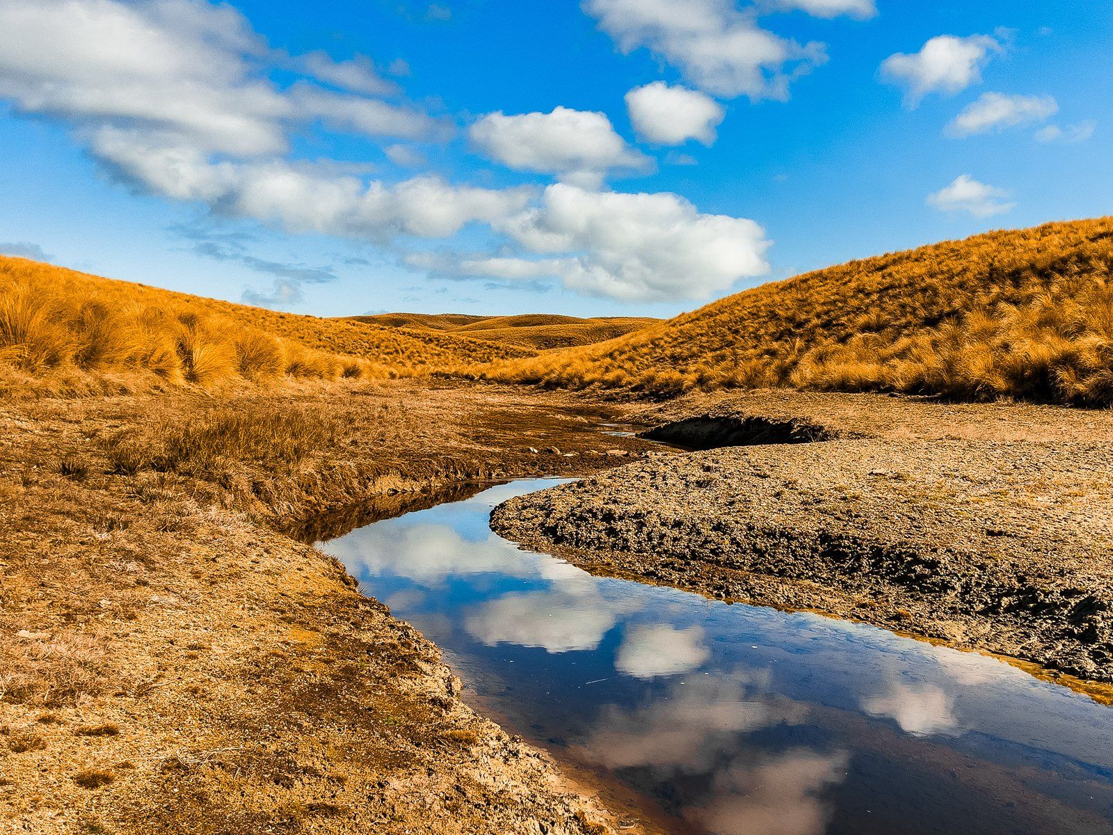
Lake Onslow is a remote lake in Central Otago. It’s 700 metres above sea level in the rolling highlands between the Lammerlaw and Knobby Ranges to the west and the Rock and Pillar Range to the east. Like the other accessible highland reservoirs, visiting Lake Onslow combines big skies and a rugged drive through. You’ll pass through large stations and farms into high, dry golden tussock land. On a fine day, it promises an idyllic lakeside location with disturbances unlikely. Onslow is also known for its quaint fishing cribs, each with its long-drop outhouse, around the west side road access. It is reputed to be a leading trout fishery in Central Otago with year-round fishing.
Like other large bodies of water in these highlands, it was man-made, with a dam established in 1890. It was named after Lord Onslow, who was Governor General of NZ from 1889 to 1892. Before this, the area of the lake was a large swamp known as the Dismal Swamp. In 1982, it was raised by five metres with the construction of a dam. Today it is about 830 hectares, one of the largest of the highland reservoirs.
The lake irrigates the farms and stations on the slopes of the surrounding ranges and supports a modest hydroelectric scheme. The Teviot River runs west from the lake to the Clutha River at Roxburgh, with several hydropower generation locations. It has also had a lot of publicity over the past few years with a $15 billion proposal to use it as a hydro “battery” to support other Otago hydro schemes. This is less likely, and the iconic cribs and remnants of the Dismal Swamp probably have a few more decades left.
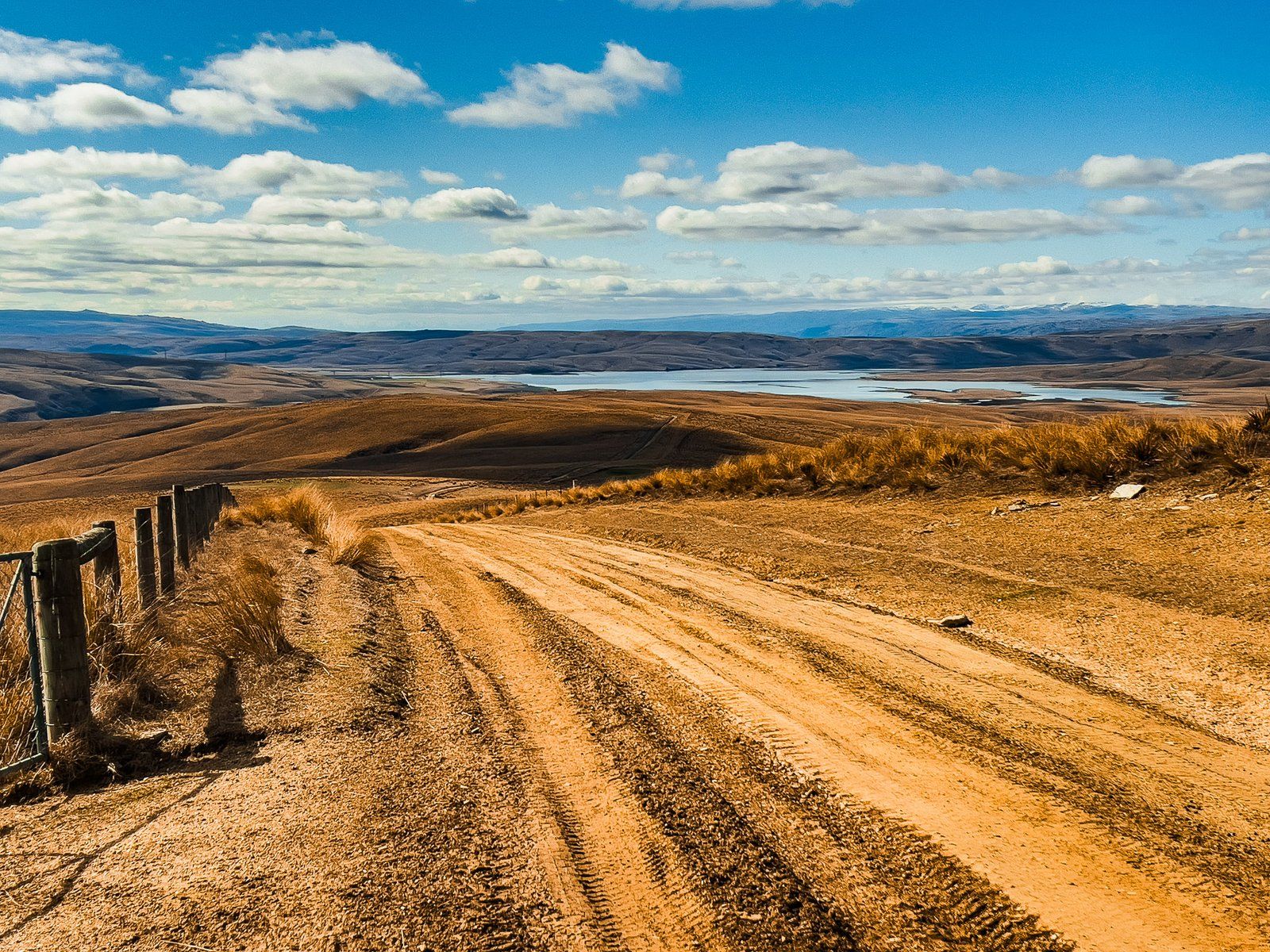
The easiest access is a 22 km drive from Millers Flat via Tima Burn Road to Lake Onslow Road. Note that Lake Onslow Road is poorly maintained and prone to mud and heavy rutting when wet. A 4WD is the best option, or try your luck in a standard car, only recommended in dry conditions.
Lake Onslow Road
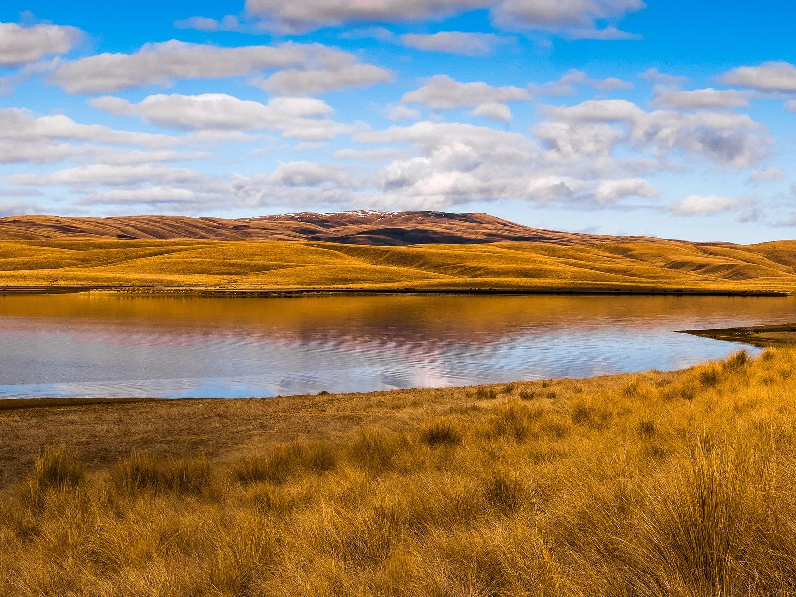
The drive to Lake Onslow is remote and spectacular. Take the Millers Flat Bridge from State Highway 6 over the Clutha River to Millers Flat. From there, head northwest on Teviot Road. Turn right into Oven Hill Road, then into Tima Burn Road. This well-maintained metal road climbs up the north side of the Lammerlaw Range to Lake Onslow Road at 698 metres. At various points, there are spectacular views across the highlands, the Teviot Valley, and the Garvie Mountains to the northwest.
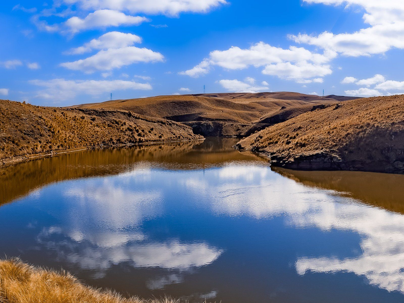
Tima Burn Road starts well maintained, but it deteriorates markedly from the turn-off to the south on Lake Onslow Road. There is a roadside warning sign, but you can drive it in standard cars in dry conditions, albeit there are some large ruts to avoid. It would be better to use a 4WD. There is also an exotic forest on this part of the route, another reason to be careful with the potential for forestry vehicles.
From the turnoff, the road continues to climb to a high point at 900 metres on the side of Mount Teviot (977 metres). From there, it drops down to Lake Onslow at 700 metres. There is a parking area near the dam, or continue on to park near the fishing cribs.
You can also access Lake Onslow Road from Roxburgh on Wright Road, then Saunders Road from Roxburgh, or Three Brothers Road from Teviot Road between Roxburgh and Millers Flat. Another option is to get there from Serpentine Flat to the northeast, along Deep Creek Road to the east end of Lake Onslow Road.


Want more Central Otago Trip Ideas?
Check out our series of Remote Drives in Central Otago: Pigroot to Macraes and The Nevis, or our North Otago Coast series: Hampden Beach to Trotters Gorge and Kakanui to Te Hakapureirei.