
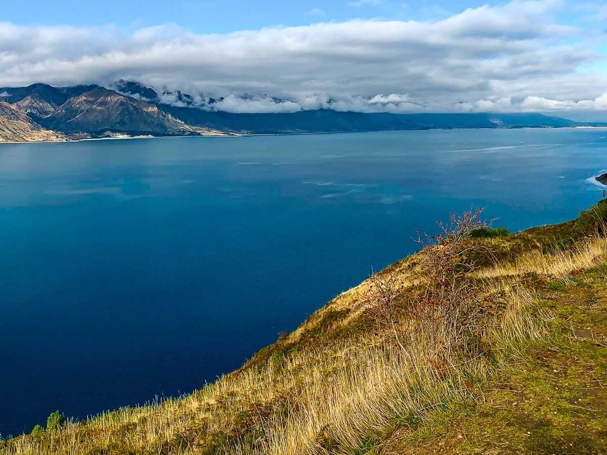
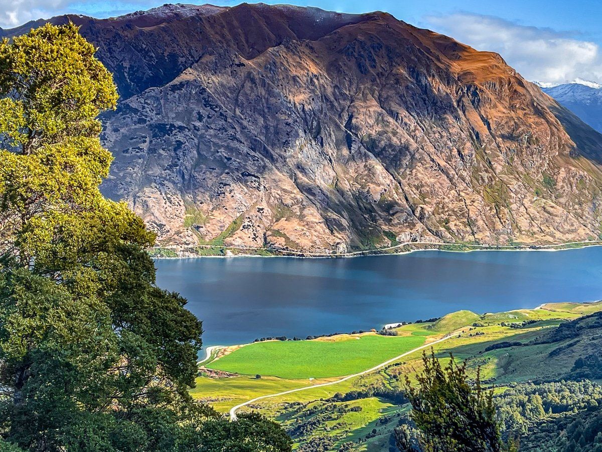
At its closest point, Lake Hāwea is separated from Lake Wanaka by only a very thin isthmus. This means you can take in both lakes at once by driving from Wanaka to Makarora or hiking the four to five-hour Isthmus Track. Both are superb.
Despite their closeness, Lake Hāwea has always been overlooked compared to Wanaka, with its smaller town and less accessible lakefront. This is a mistake, as several wonderful walks and fantastic viewpoints are scattered around Lake Hāwea.
This blog covers walks and viewpoints from the town lakefront and south of the lake, then around the west side to Kidds Bush at the north end of Lake Hāwea. Don’t worry – the lake's eastern, more remote side will be explored in a later blog!
Lake Hāwea Track – Te Araroa
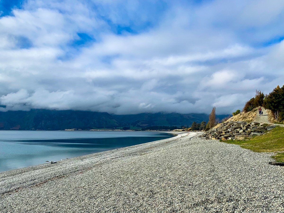
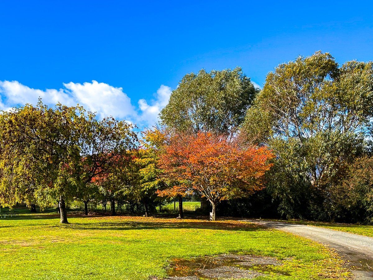
Hāwea township sits at the south end of Lake Hāwea. Lake Hāwea Track is a walk and cycleway that runs along and above the stony beach; it slopes down steeply to the lake in some places. The entire track takes 10 to 12 hours to walk each way, but from the road there are several entry points to the track where you can stop by the lake.
The lakefront walkway is also part of Te Araroa, which emerges on the east side of the lake on Timaru Creek Road. The section in front of the town is about 3 km long and takes about 45 minutes or so to walk. At the west end of the walkway, you can cross the road in front of the dam to connect with the Hāwea River Track. This is also a shared cycling and walking path that connects to Albert Town and Wanaka.
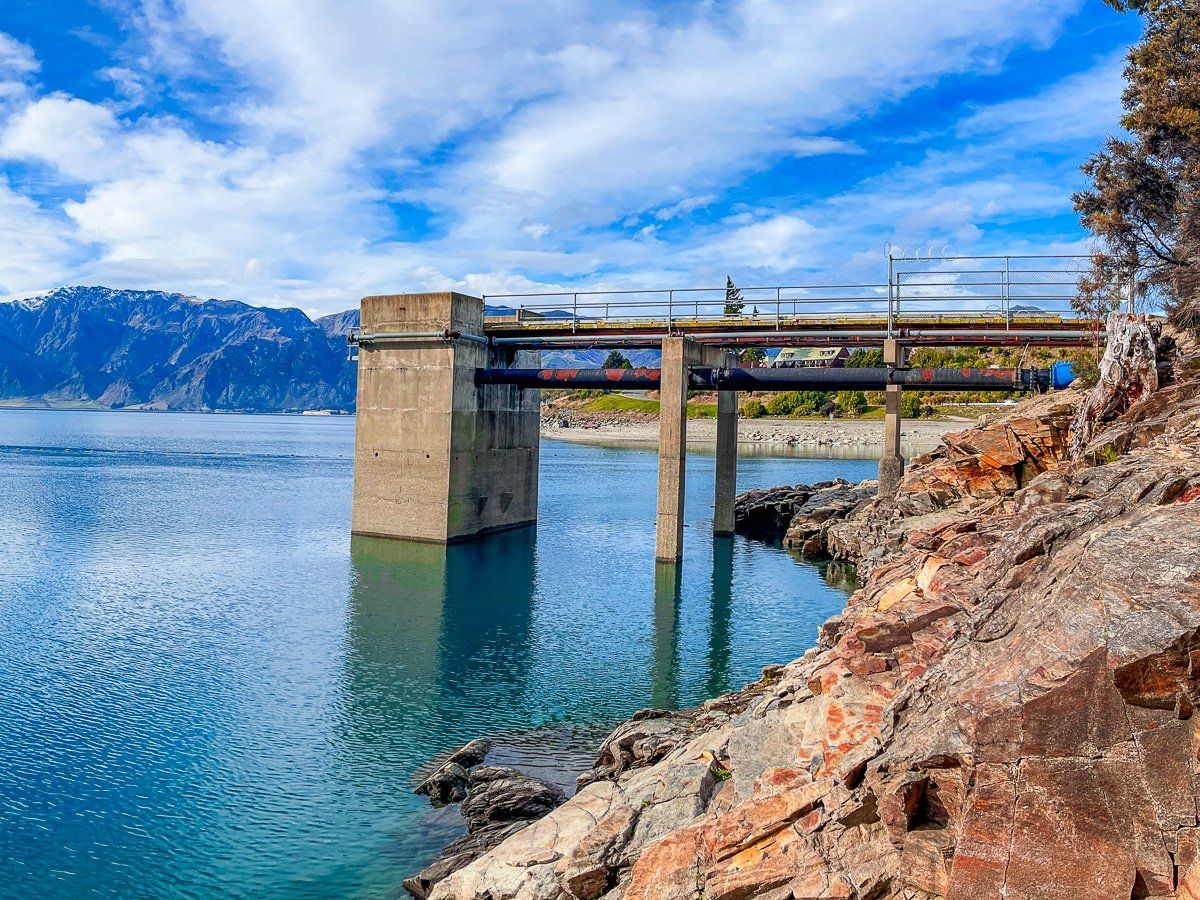
Lake Hāwea Dam
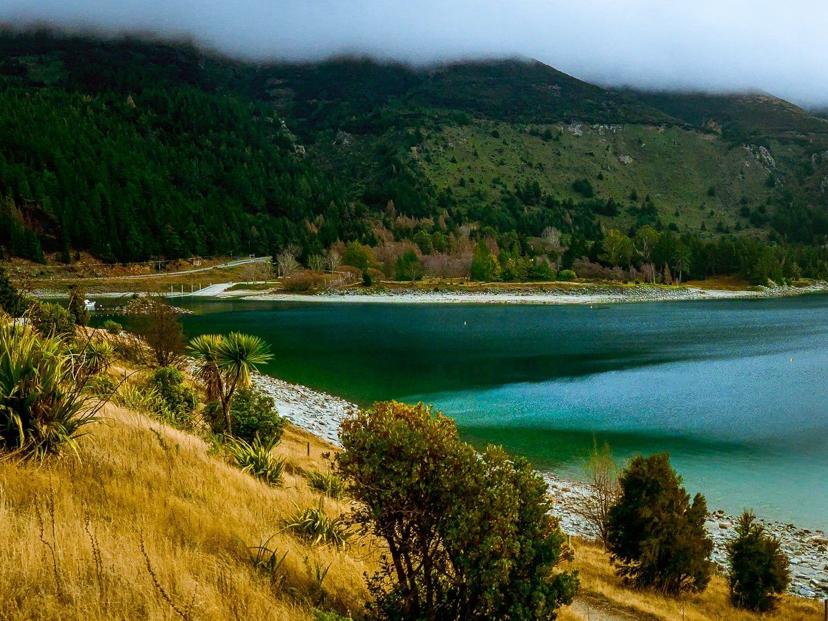
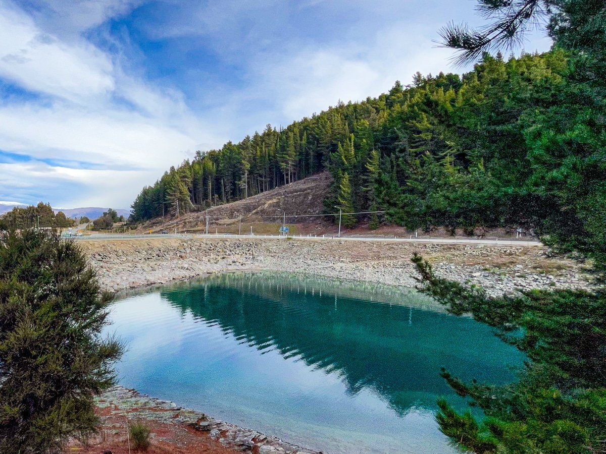
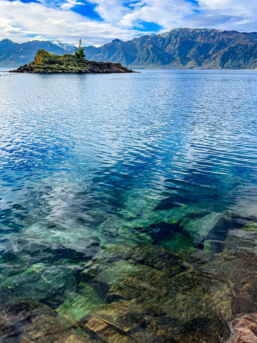
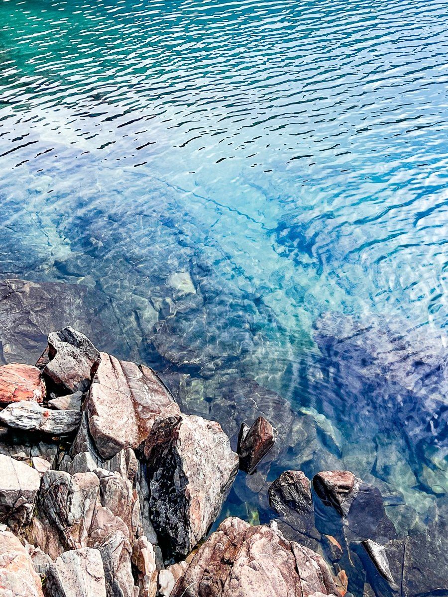
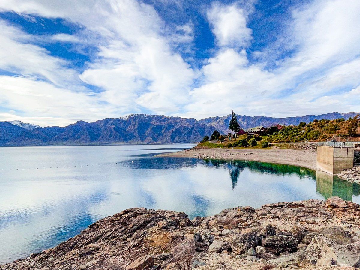
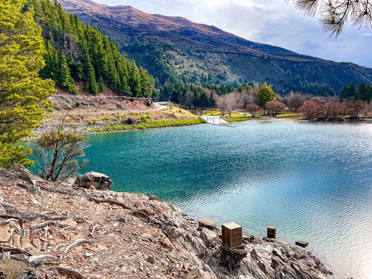
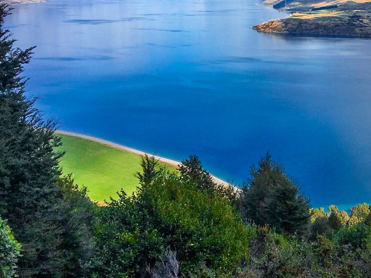
Lake Hāwea Dam is at the southwestern end of the lake. When you drive from the main highway into Hāwea township, you cross over the dam – from above, you can see a small reserve on the left, where you can stop and park.
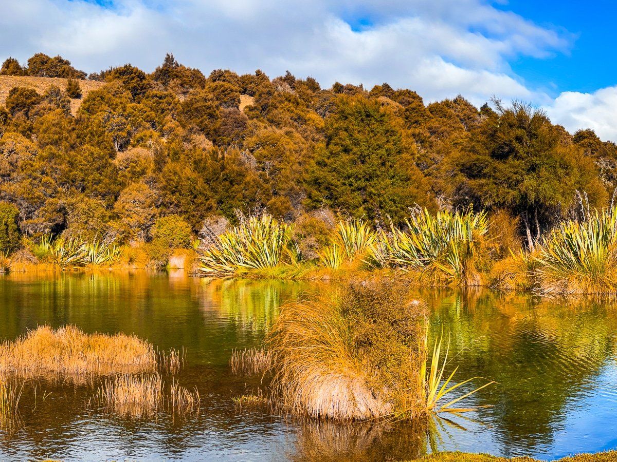
From the reserve, look for the steps that cross over the fence. You can scramble down the coloured rocks to reach the lake edge, and from here, you can see the local campground just off State Highway 6. This is a perfect place for a picnic and a great spot for lake reflections on a still day.
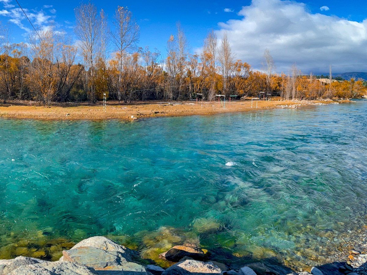
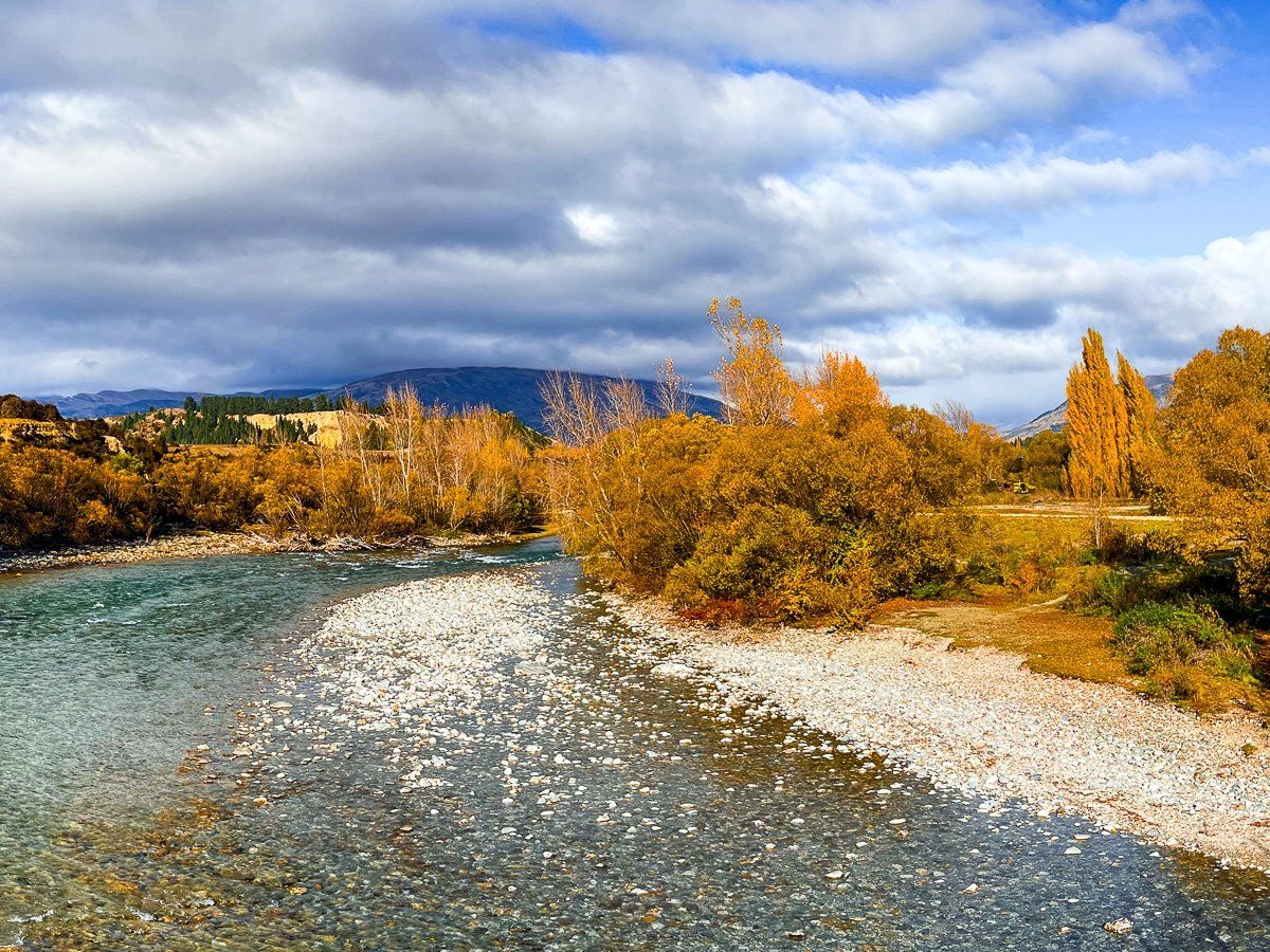
Hāwea River Track – Te Araroa
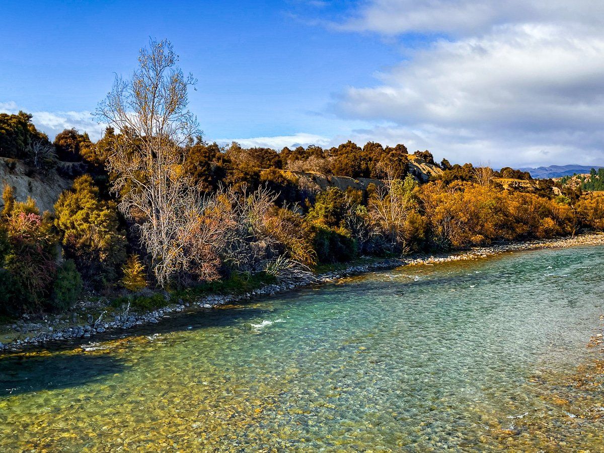
The Hāwea River Track is another section of Te Araroa and is also shared with cyclists. It follows the river to Albert Town and then joins the Lake Outlet Track on the south side of the one-lane bridge that crosses over the Clutha River.
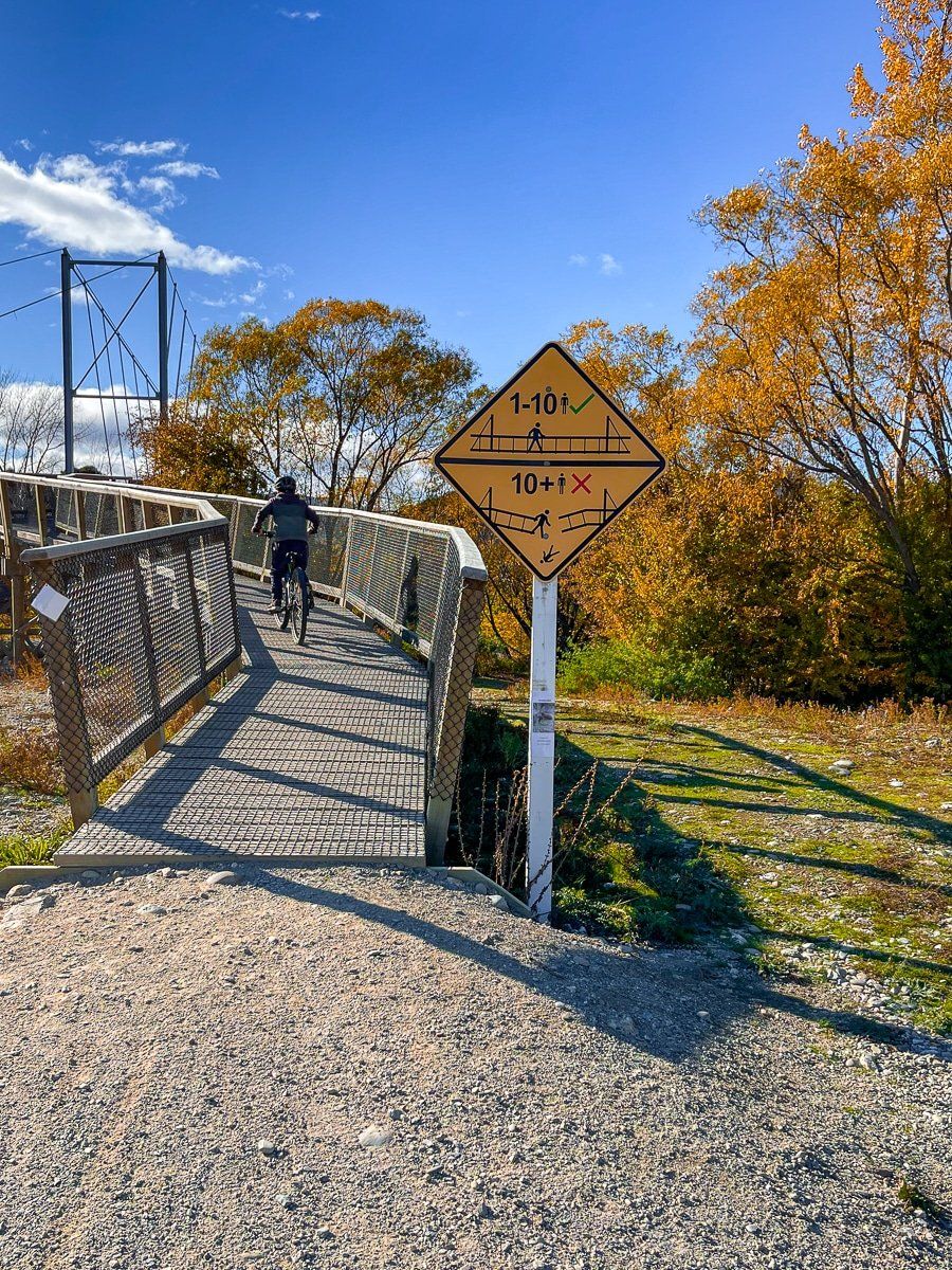
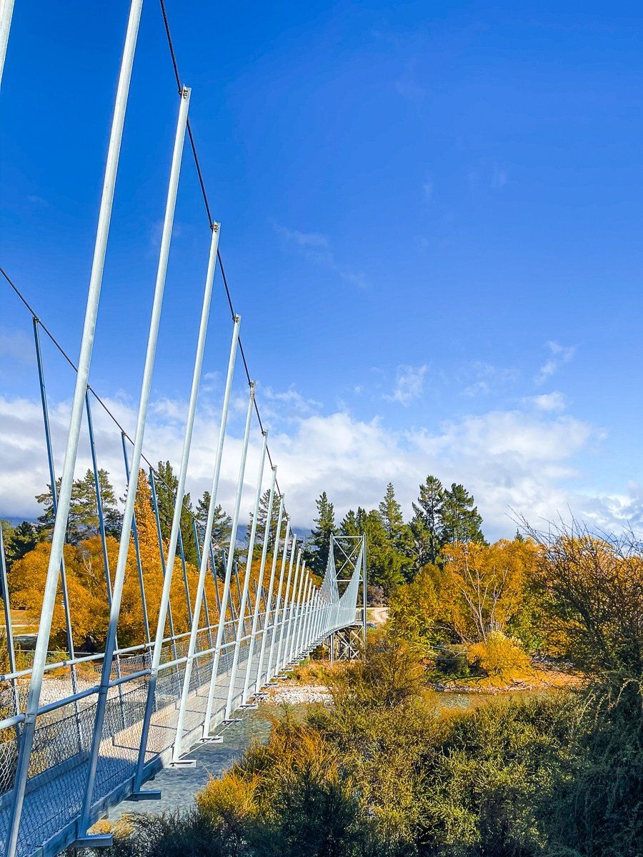
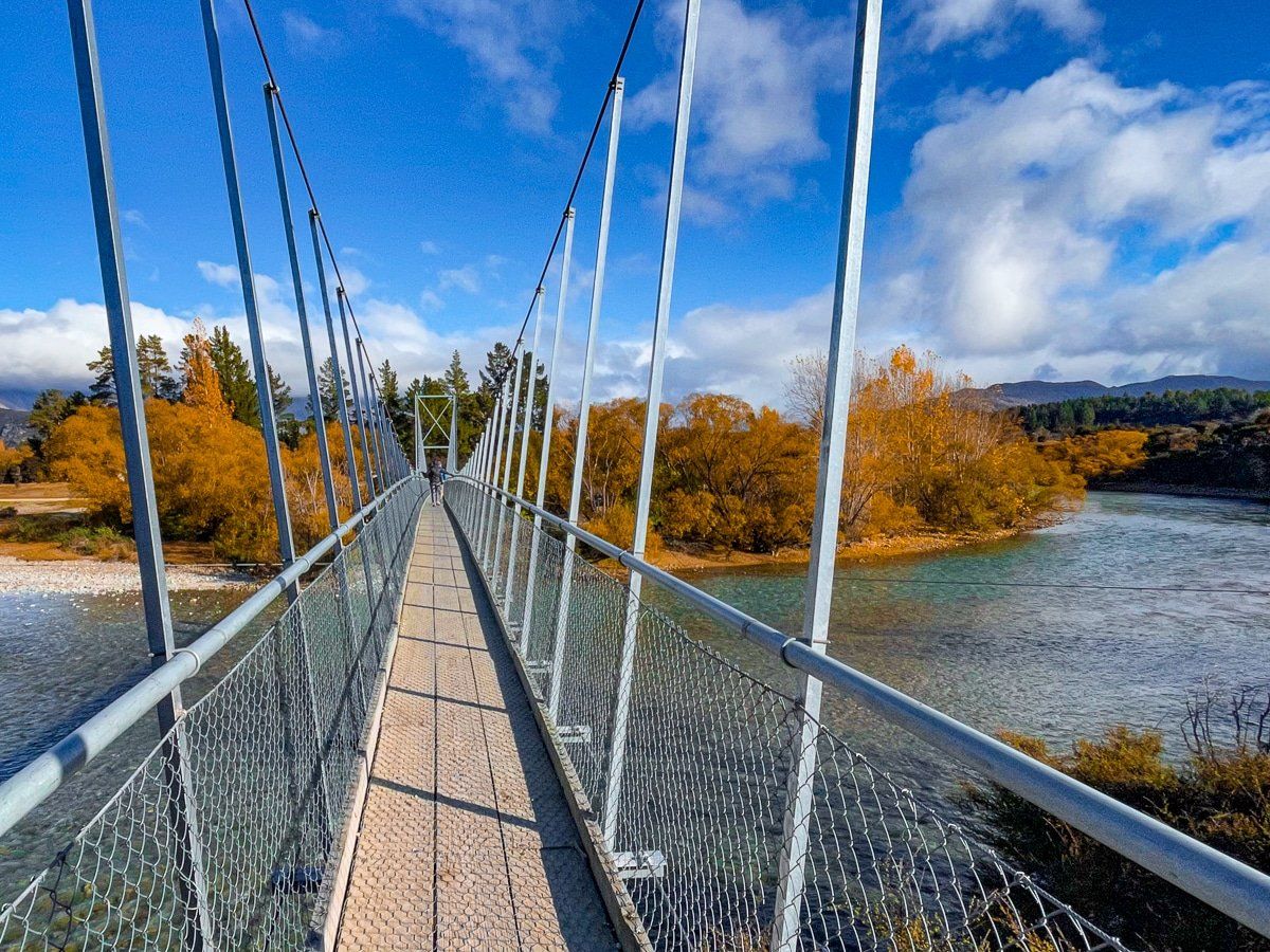
The most interesting section of the track is near the large campground on the eastern side of State Highway 6, just after the Albert Town bridge. Follow the access road, then walk across the large swing bridge over the Hāwea River and onto the restored lagoon.
The track has several access points, including near the east end of the Lake Hāwea Dam.
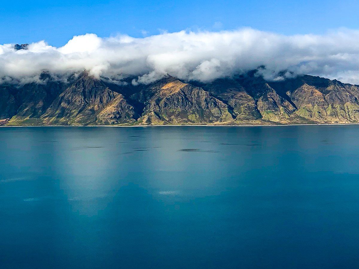
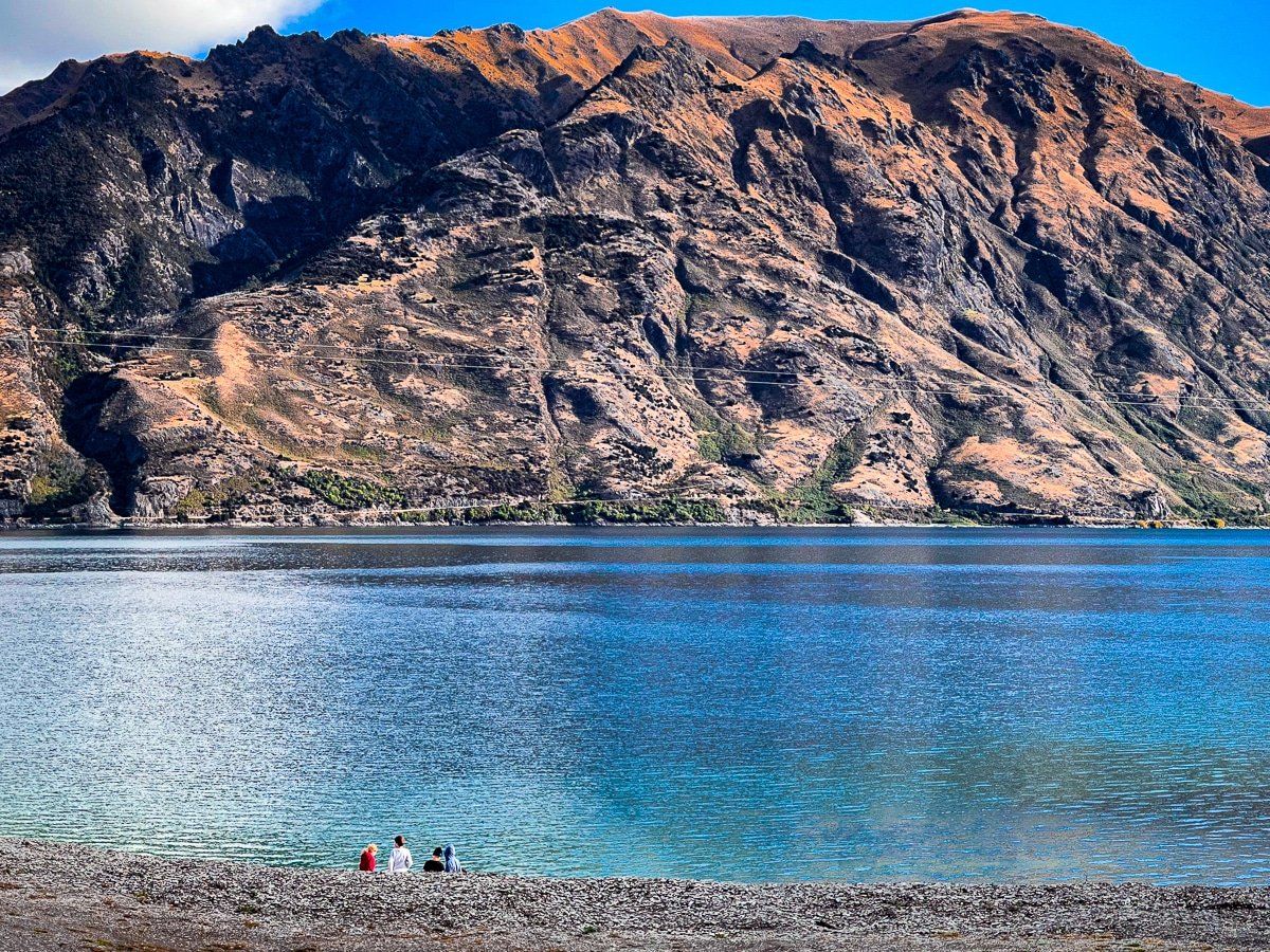
Lake Hāwea Lookout
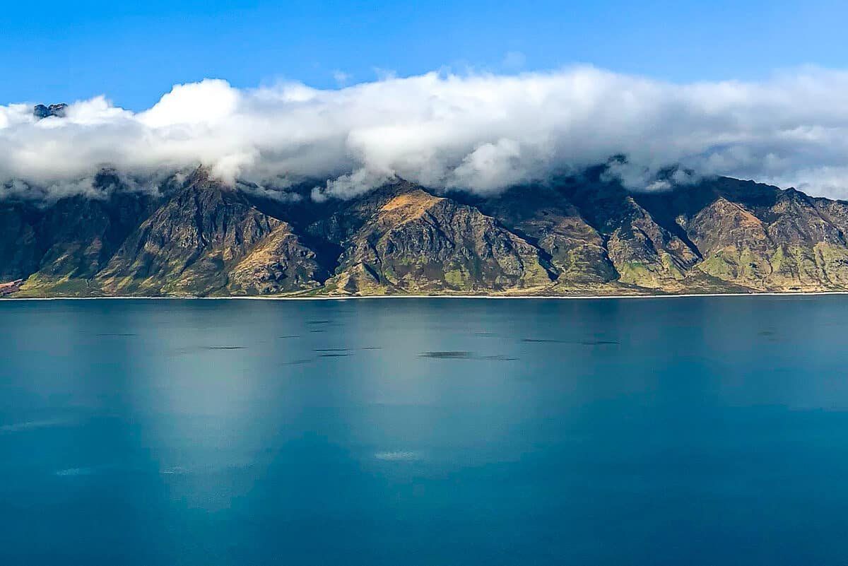
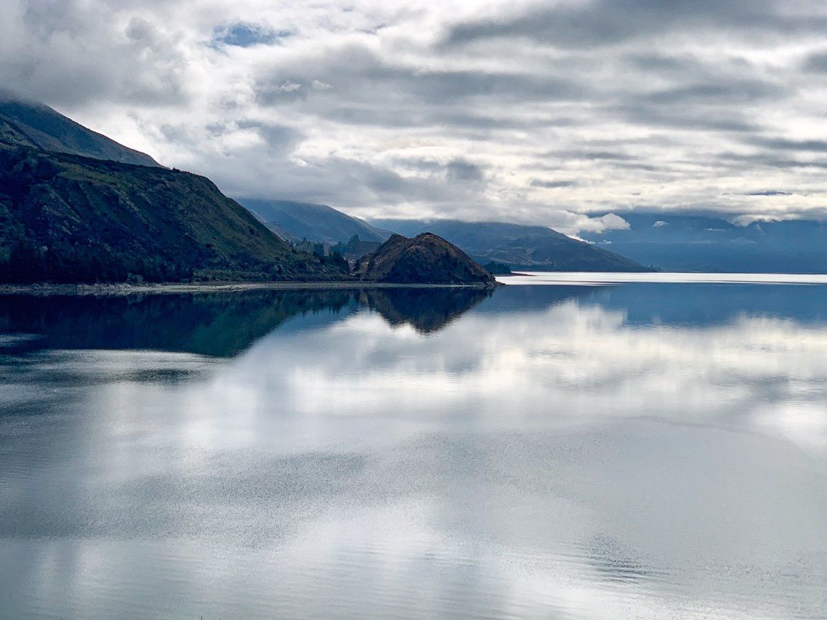
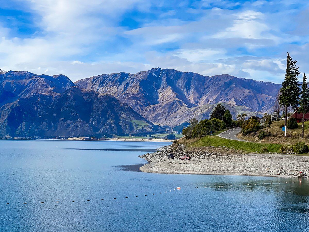
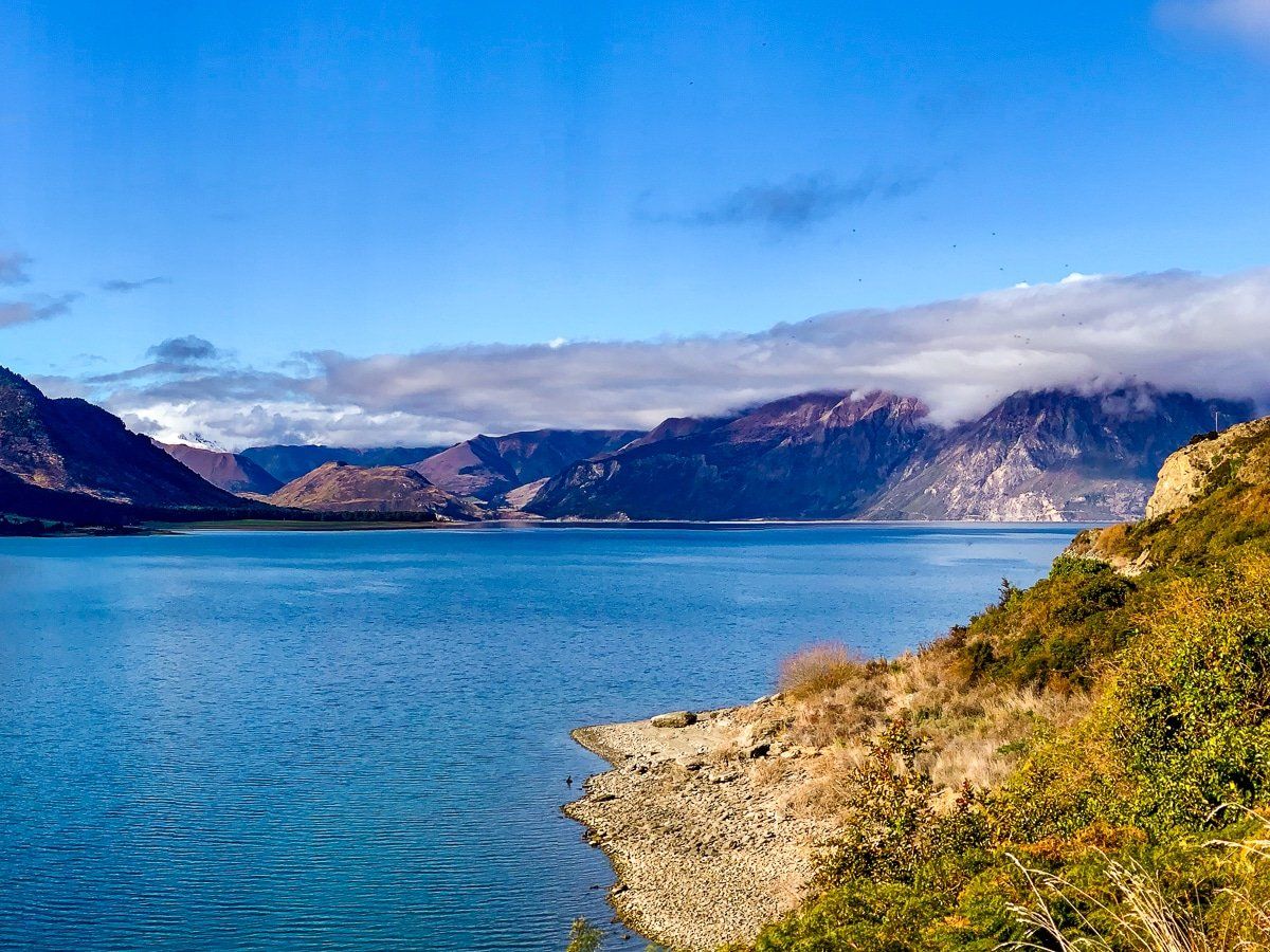
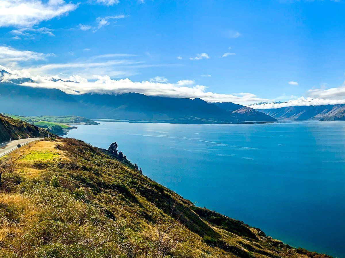
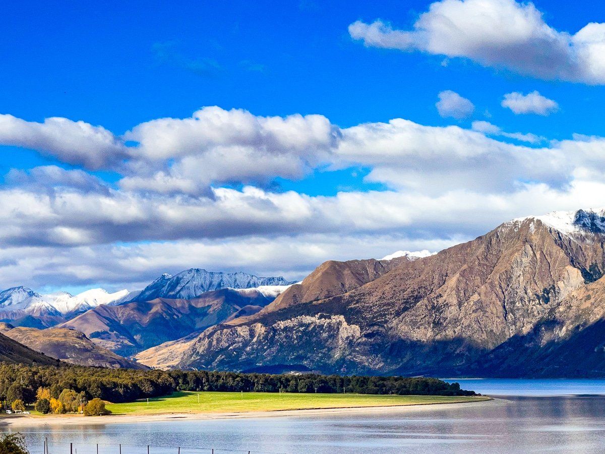
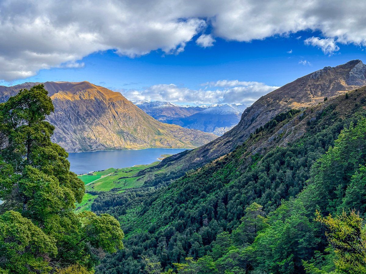
As you drive down State Highway 6 towards Makarora, there are various safe stopping points. But the best lookout is signposted about halfway along the lake and has plenty of parking. The view is from a high point on the road and is spectacular at any time of the year.
Across the lake from the viewpoint, the high point is Corner Peak, which Lake Hāwea goes around to branch further north. At the south end of the eastern range is Breast Hill, which you can cross over via Te Araroa.
Meads Road
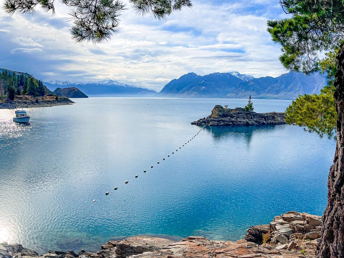
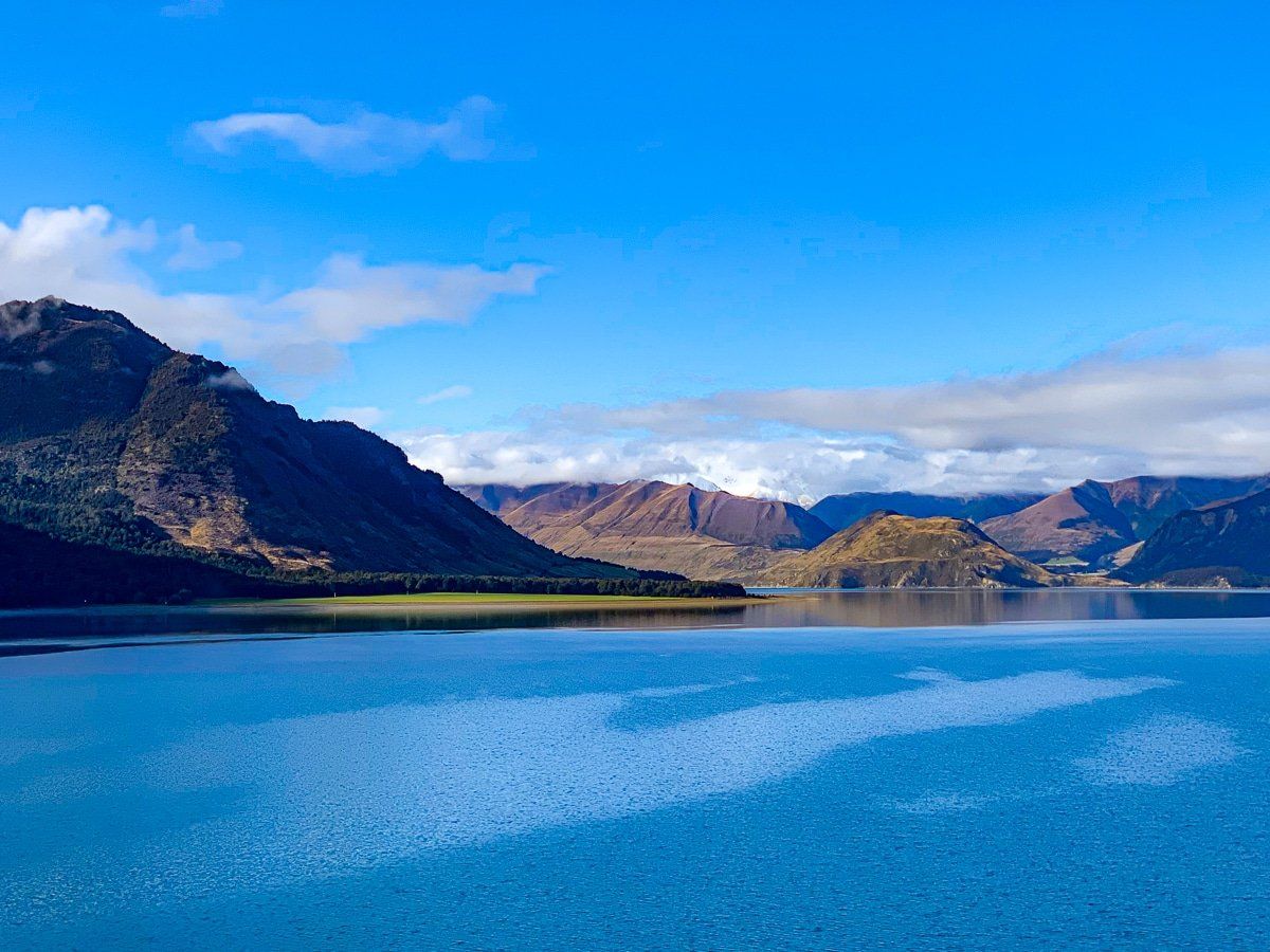
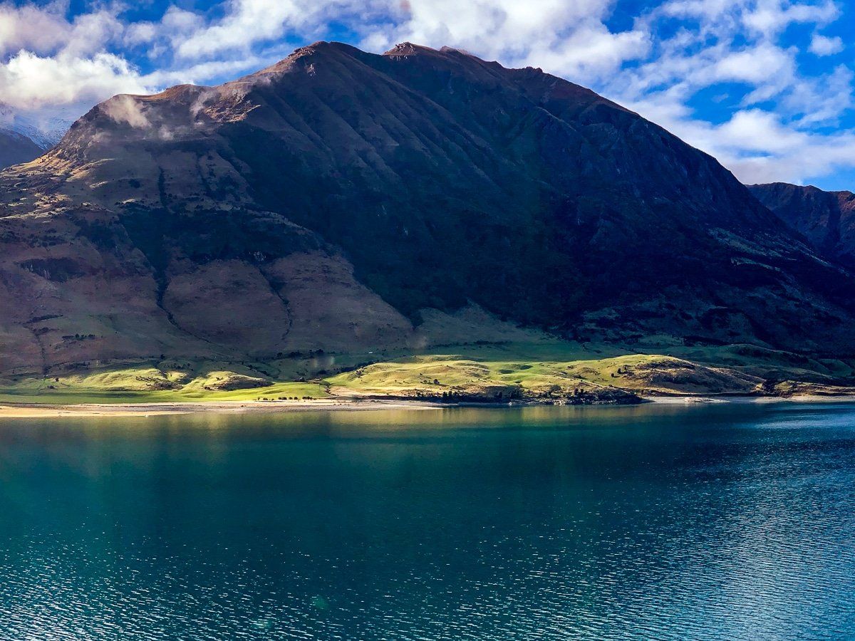
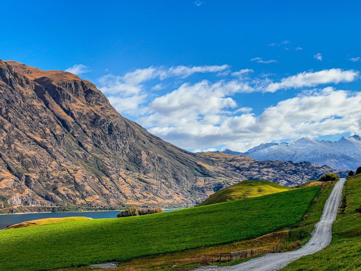
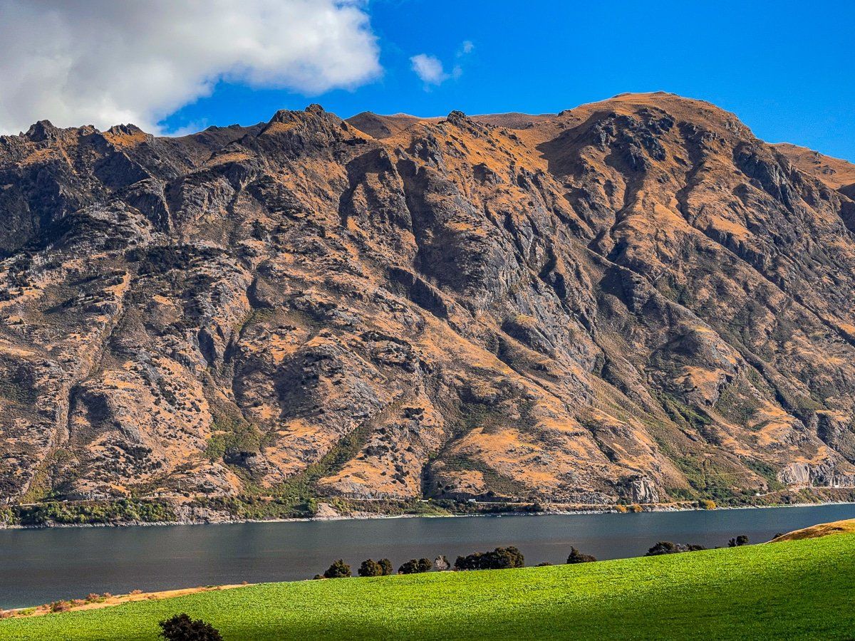
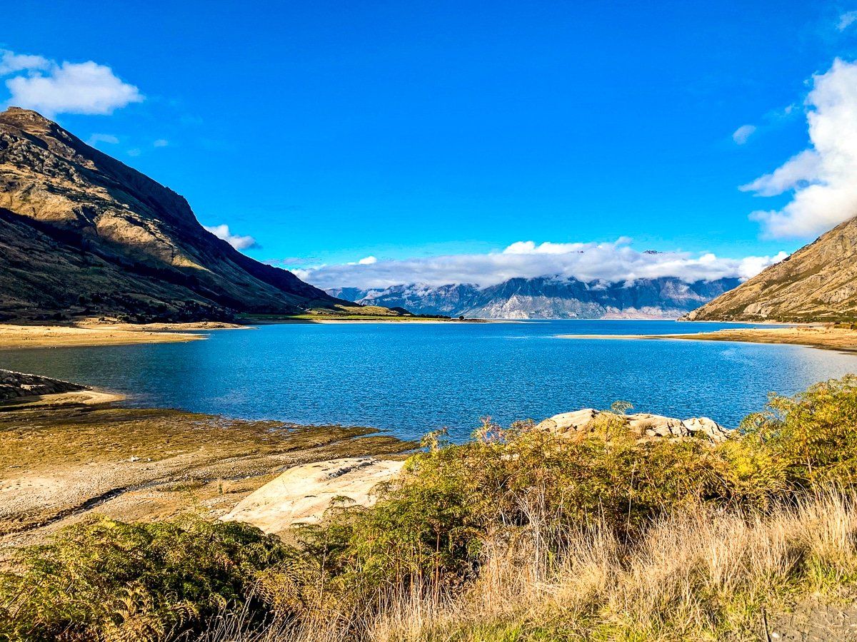
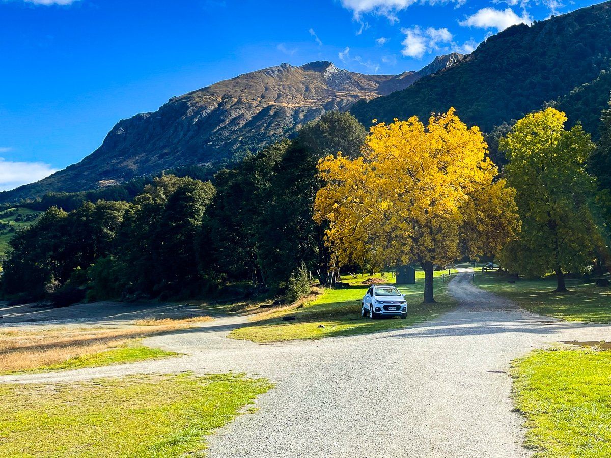
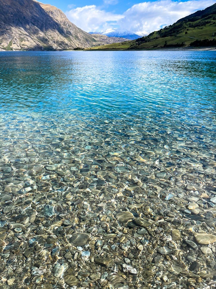
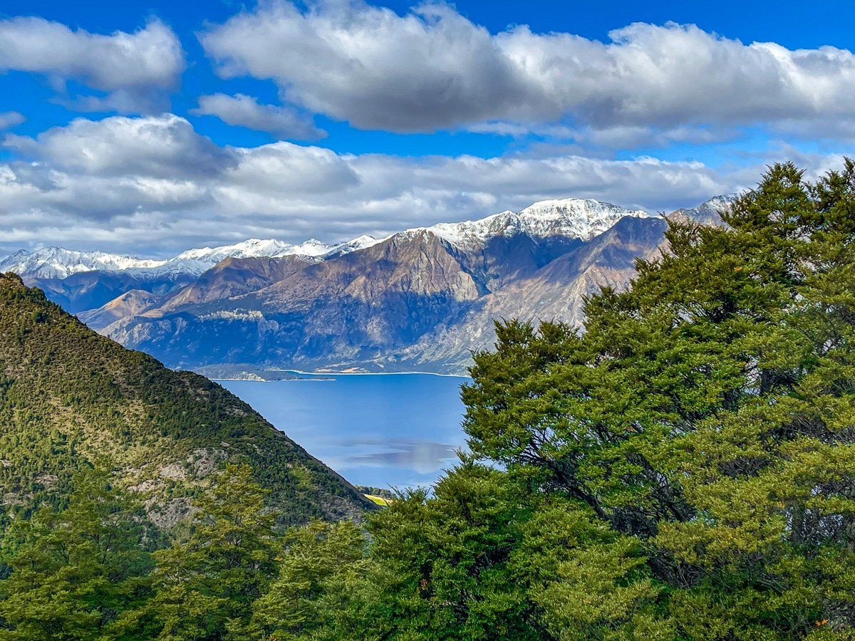
Just before you reach the isthmus between Lake Hāwea and Lake Wanaka on State Highway 6, take the turnoff on Meads Road. This metal road can be a bit rough, but it takes you to the north end of Lake Hāwea.
Meads Road crosses steep, incredibly green farmland below Sentinel Peak, then heads back to the lakeside and the Kidds Bush campground. The views from the high point on the road are magnificent, including the view of Isthmus Peak and the isthmus itself. Watch out for the pretty, unnamed waterfall as you cross a short bridge over one of the many streams that tumble down the hillside.
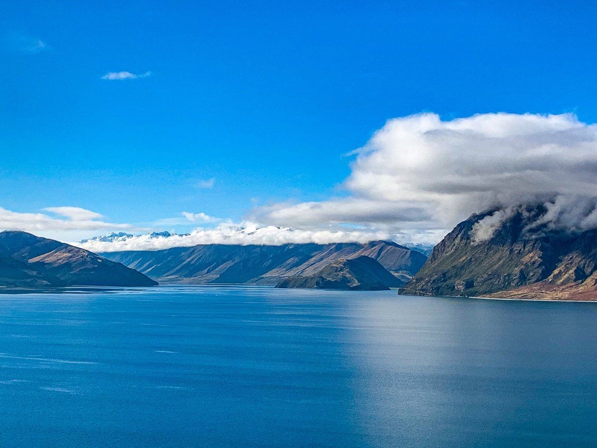
You can continue for a while beyond Kidds Bush; the road eventually peters out as you head up the northerly section of the lake towards the Hunter Valley. To continue after that, you would need to tramp.
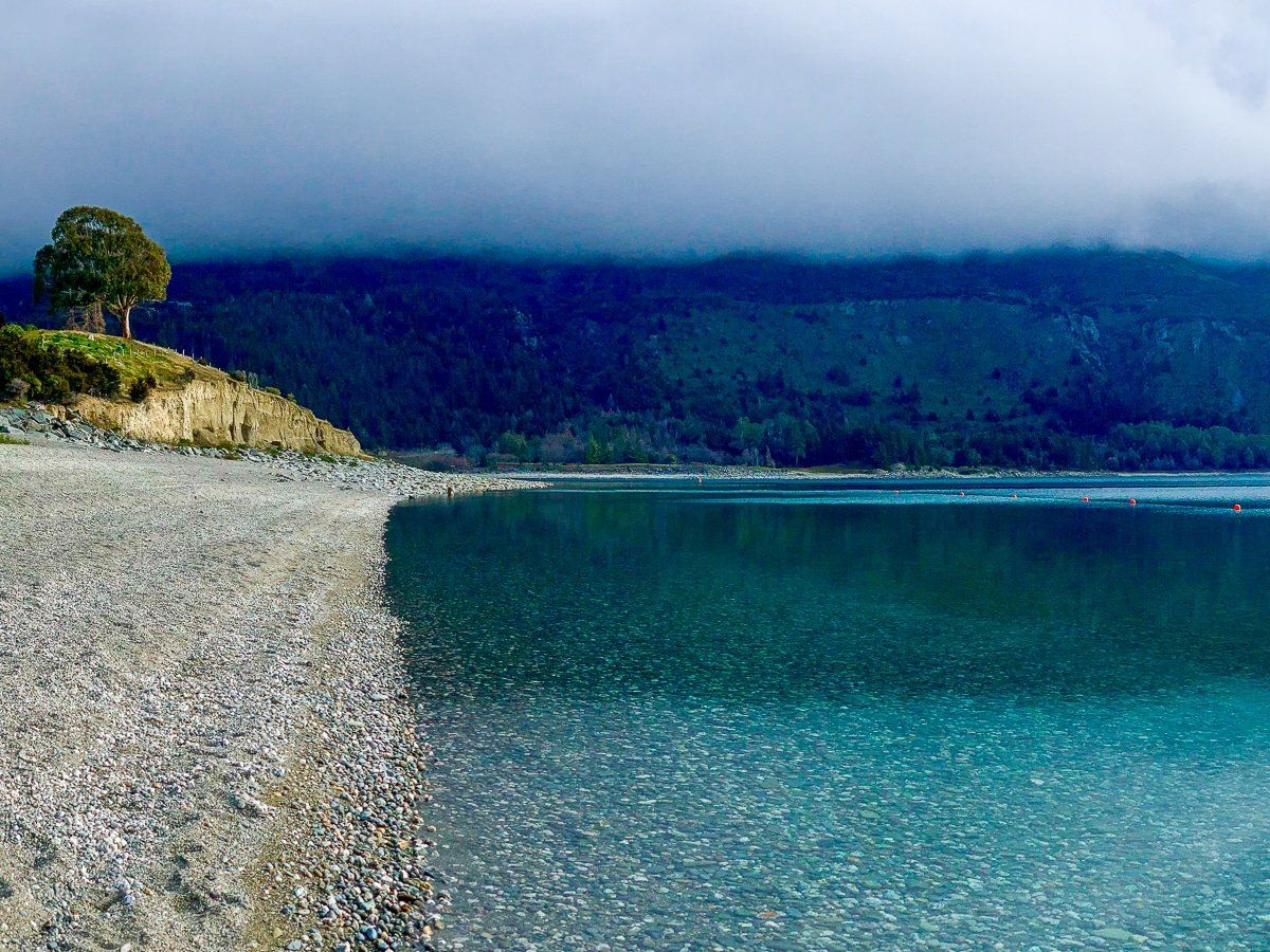
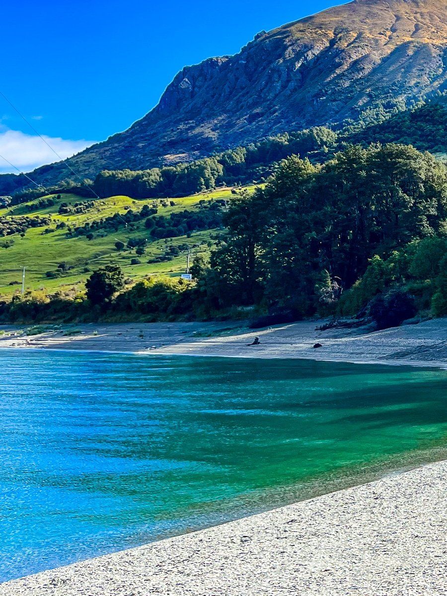
Kidds Bush
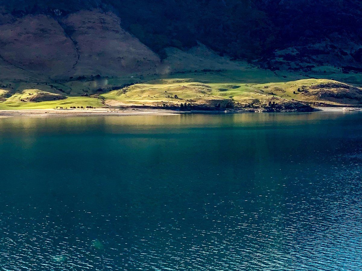
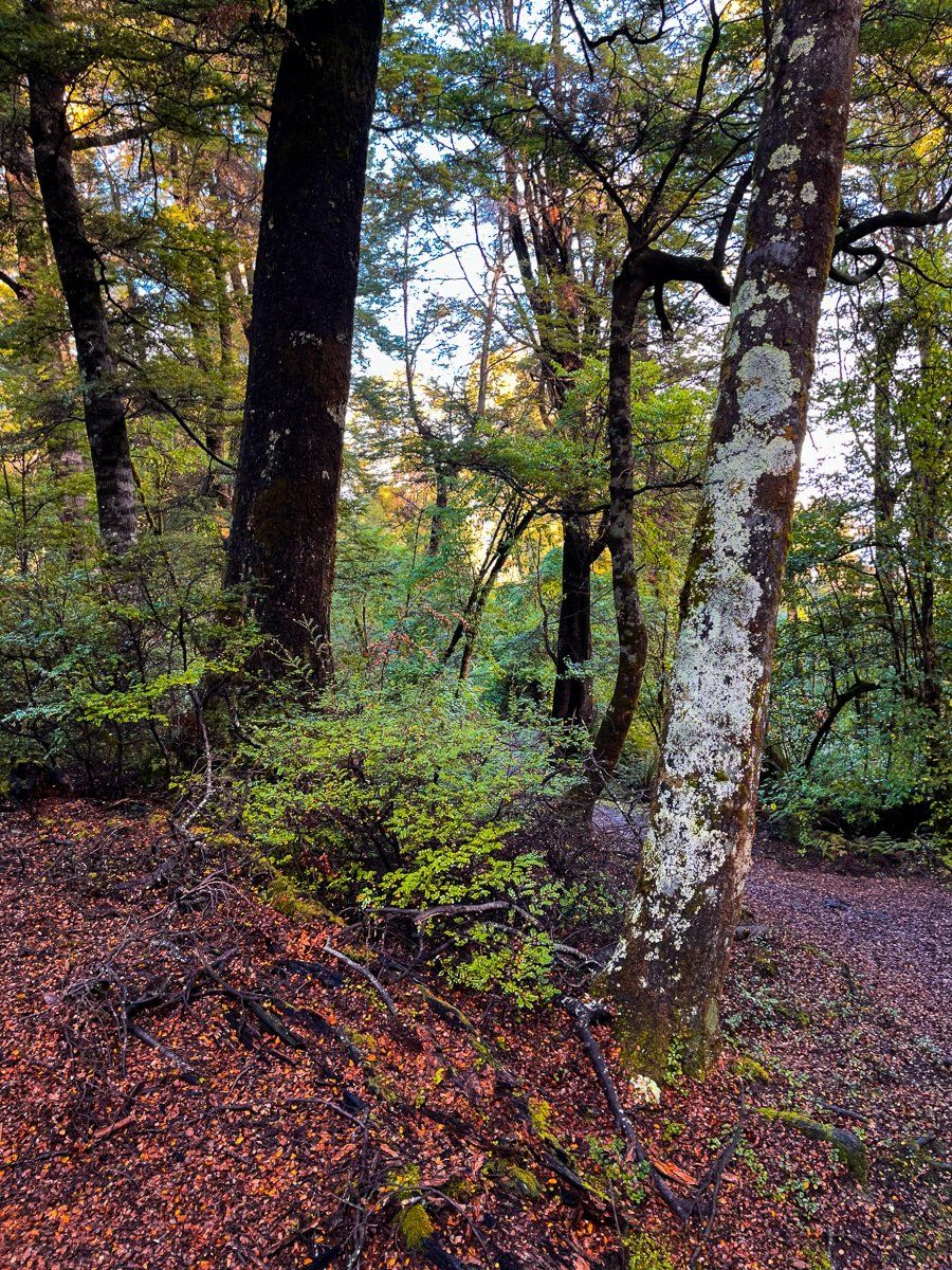
Kidds Bush is a lovely DOC campground at the north end of Lake Hāwea, accessed from Meads Road. Next to the campground, there’s a pretty beach and a short native forest walk. It’s a nice spot for a picnic or to spend a few days.
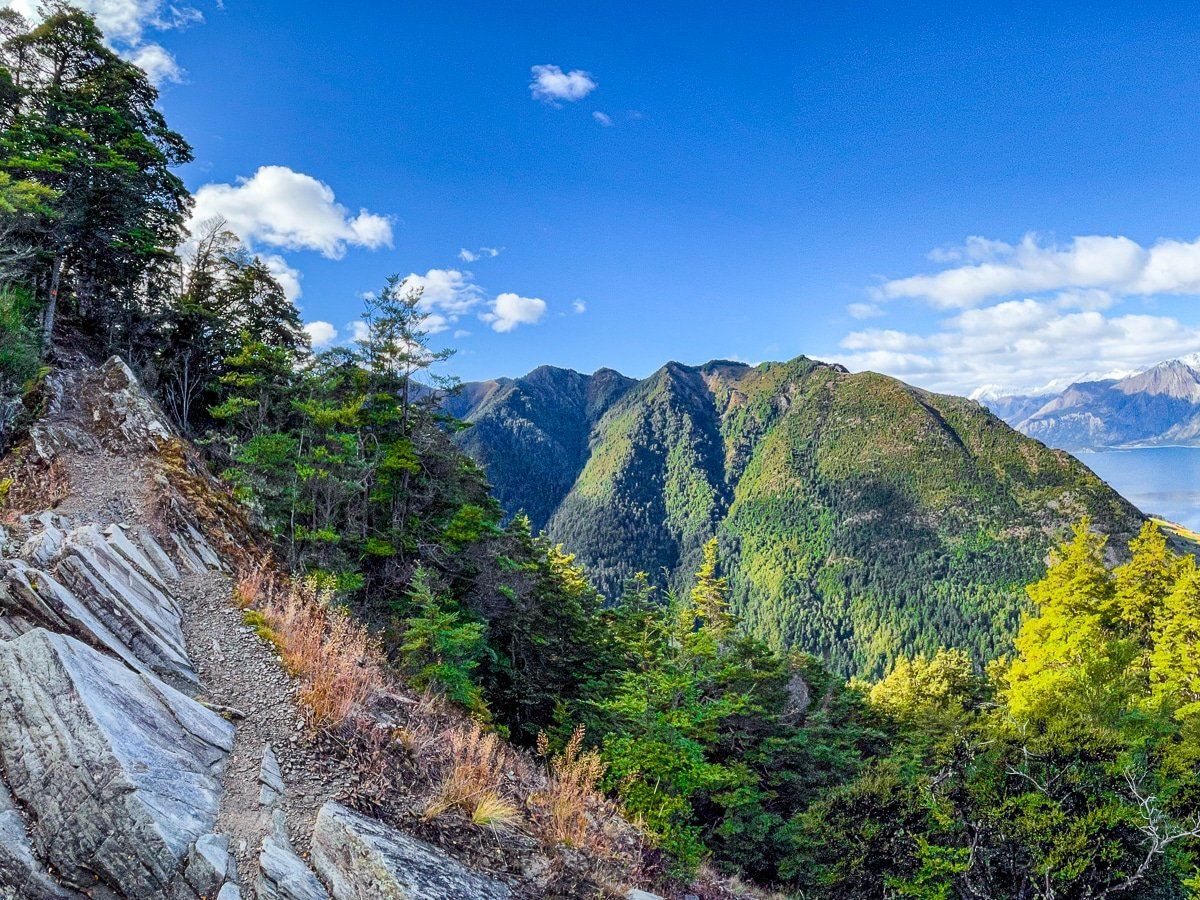
Sawyer Burn Track
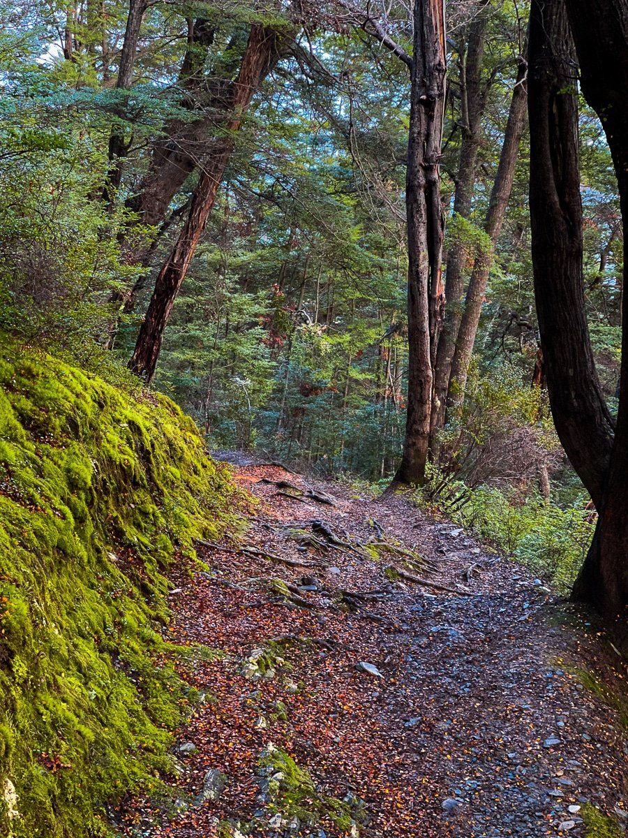
The Sawyer Burn Track starts at the same point as the Kidds Bush Nature Walk. However it is much more strenuous, quickly climbing over 500 metres through beech forest, before opening out with fabulous views over Lake Hāwea.
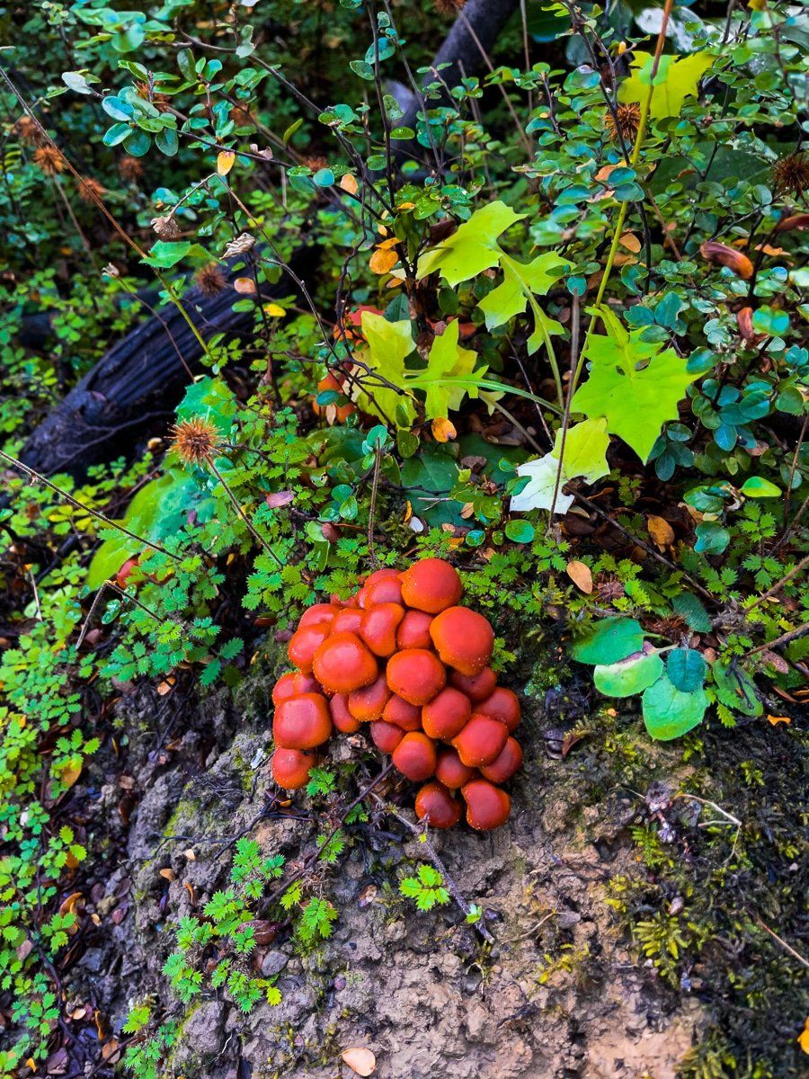
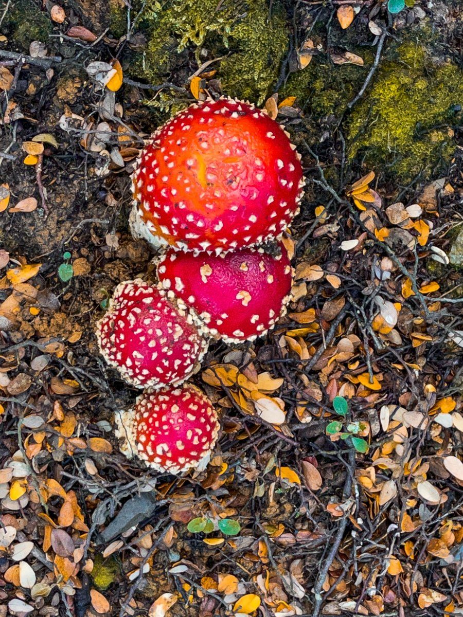
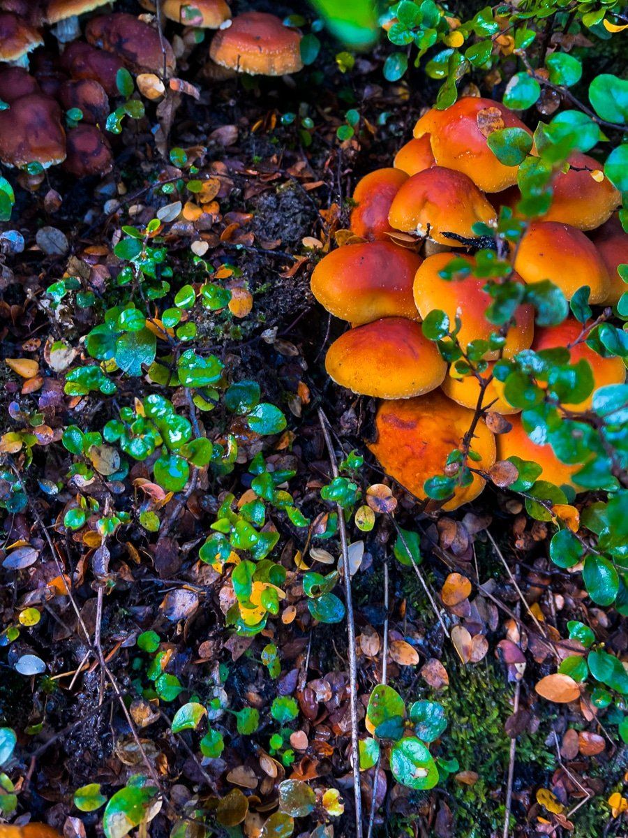
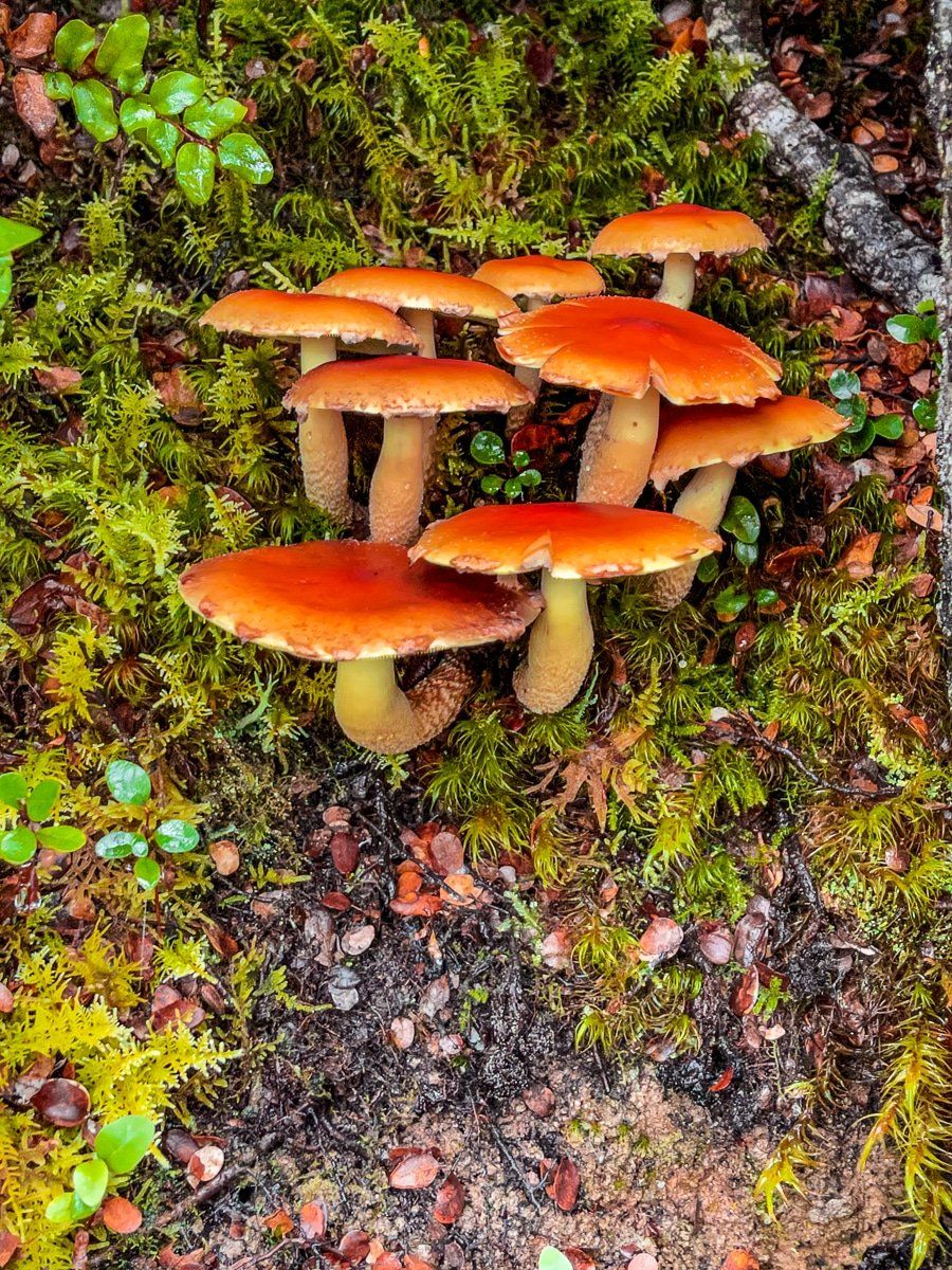
It takes about an hour to reach this high point, and you can continue on a flatter path for another hour or so to get to the hut. But it’s the superb views and the earlier section through the forest, rich with native fungi when we did it, that makes this an excellent walk.
Want more Queenstown Lakes trip ideas?
Check out our posts on Wanaka and Queenstown!