
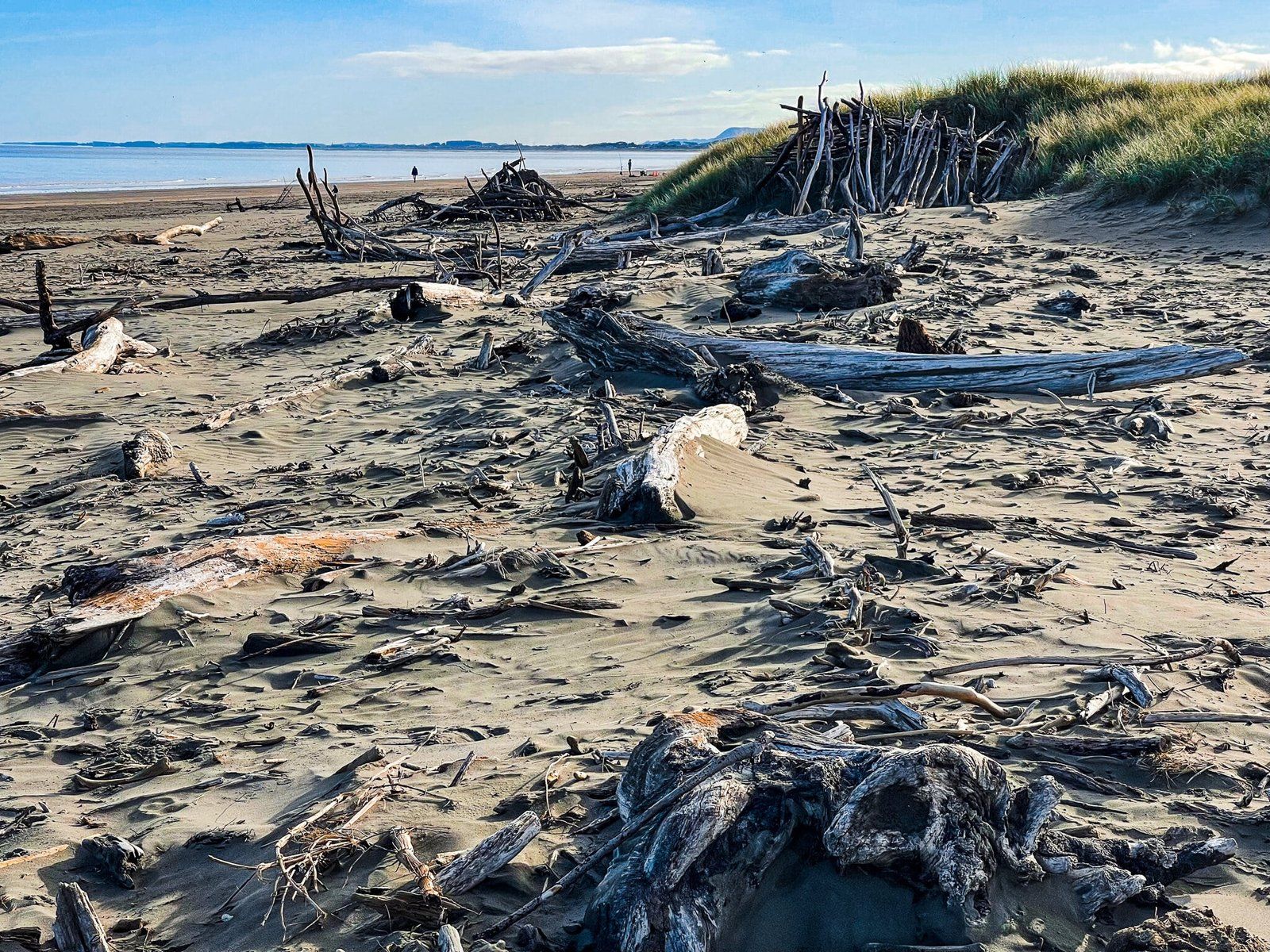
Waikanae at the north end of the Kapiti Coast is best known for its beach. However, the beach is not the only thing to do. Alternative activities include a walk through Hemi Matenga Reserve, which contains one of the few remnant kohekohe forests. From there it’s not too far to the Waikanae River Track (also a section of Te Araroa) which takes you from near the town centre and rail station all the way to the Waikanae Estuary and its lagoons, which divide Paraparaumu Beach from Waikanae Beach. On the north side of the estuary is a large sandspit, perfect for aimless wandering amongst driftwood and crowded with seabirds in the evening. The lagoon plus the spit is a seabird sanctuary.
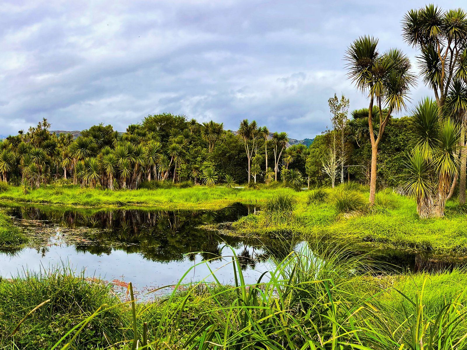
On the north side of Waikanae is Ngā Manu, a quite well established ecological preserve and educational centre. It looks only modestly interesting as you go in but is full of positive surprises and includes an easy walk through a beautiful section of regenerating forest around wetlands.
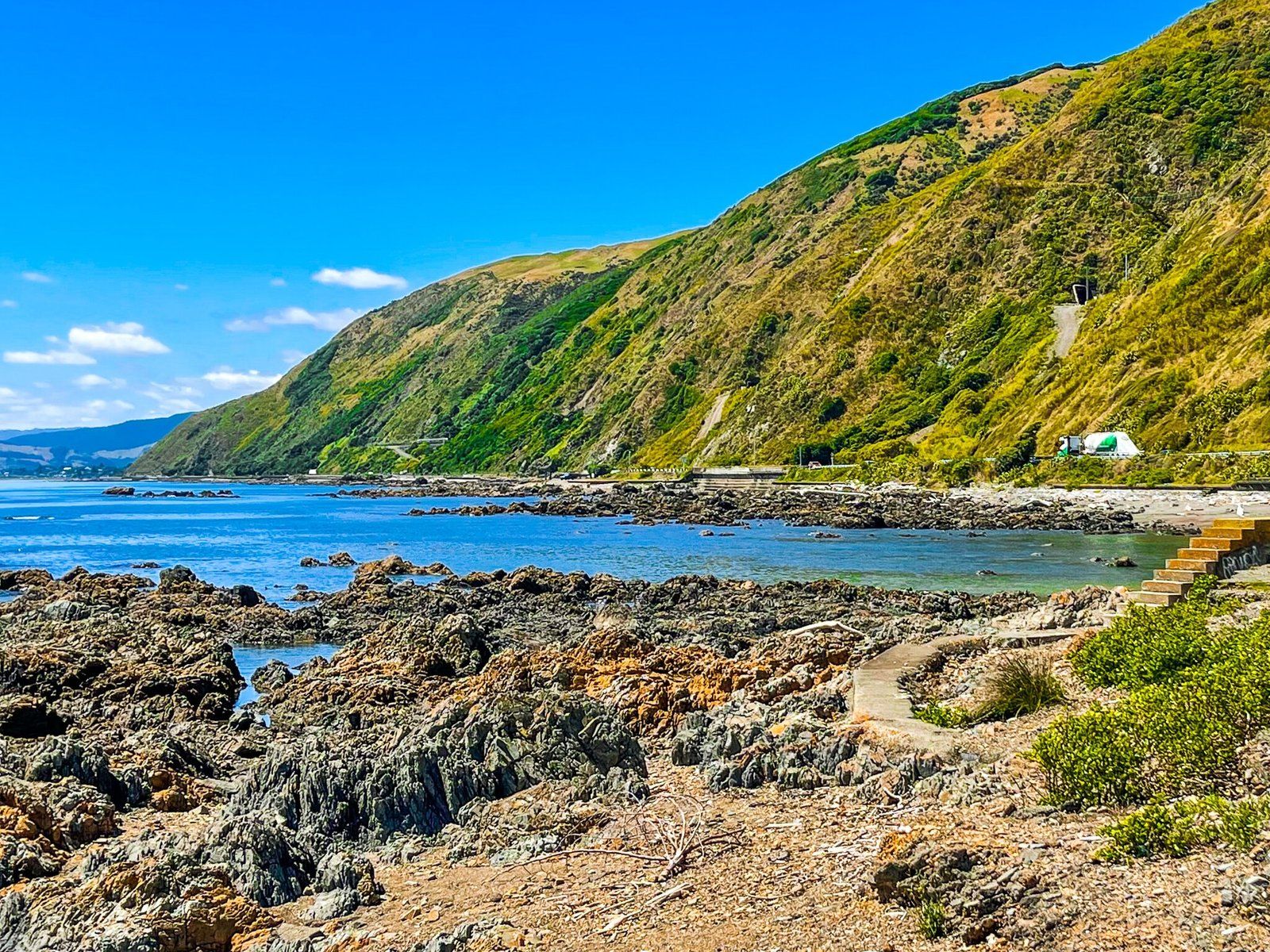
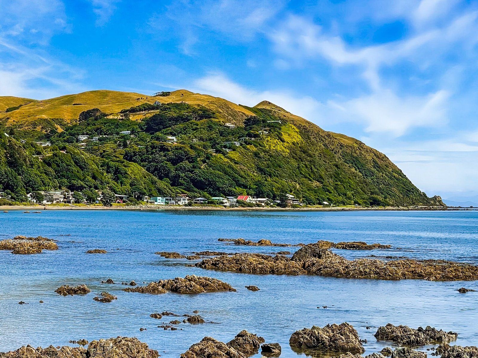
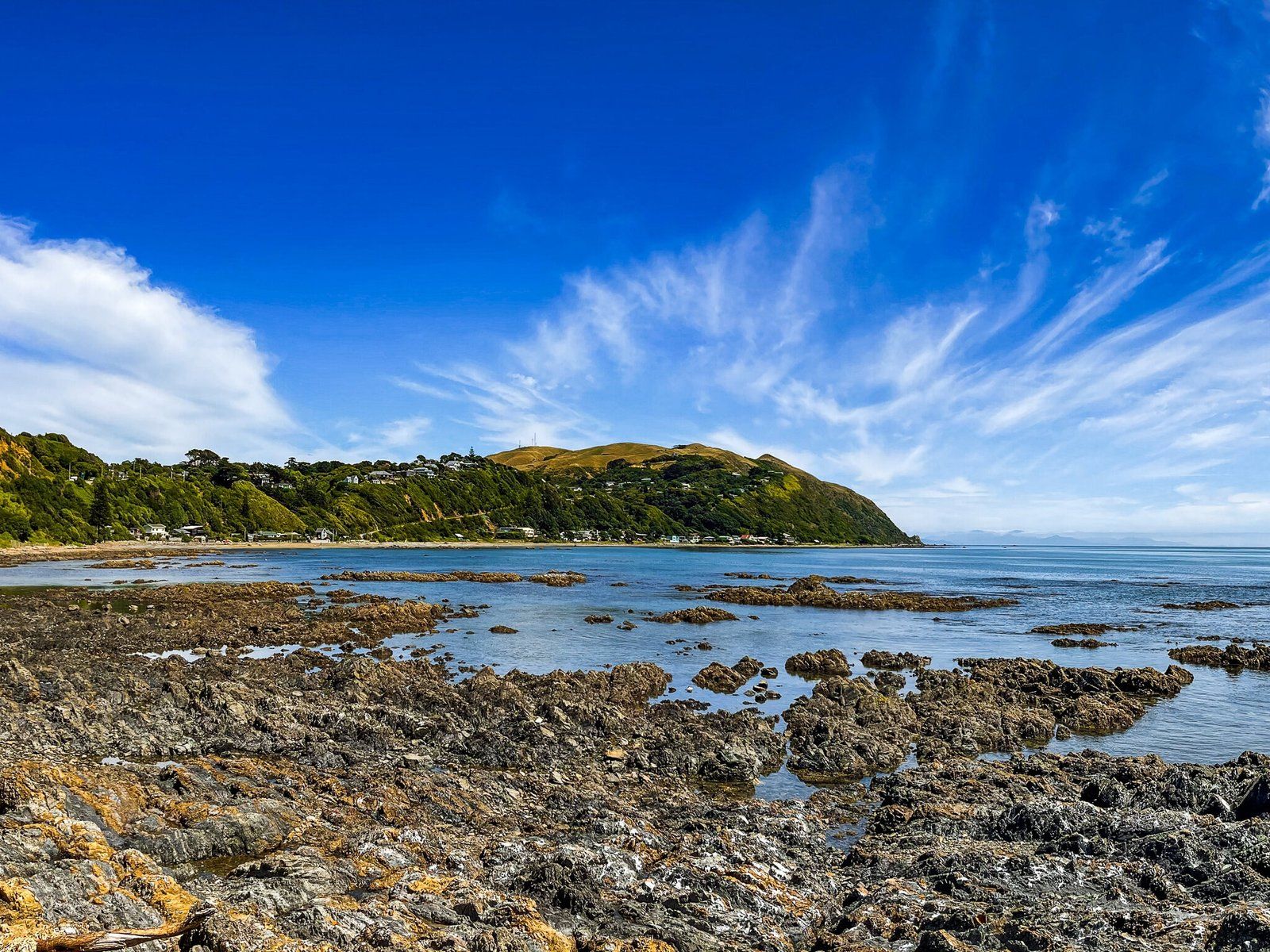
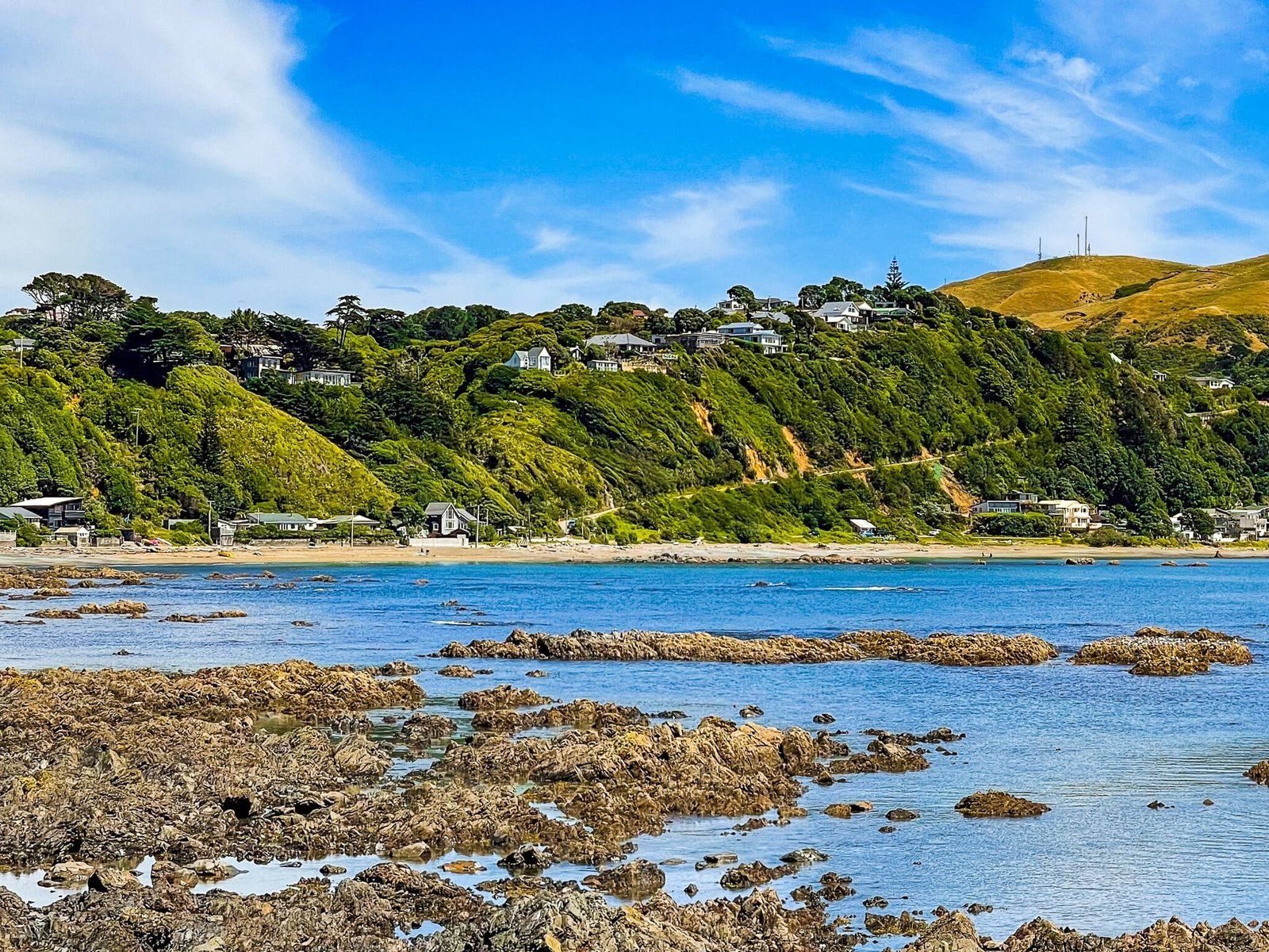
If you drive south towards Pukerua Bay, you can discover one of the best short oceanside drives in NZ. With State Highway 1 moving to Transmission Gully, the section of road renamed SH59 has far less traffic. It is now easy to stop at a carpark at Te Ana O Hau (no real signage but the entrance is obvious). From there you can walk along the coast to Pukerua Bay, or back towards Paekakariki.
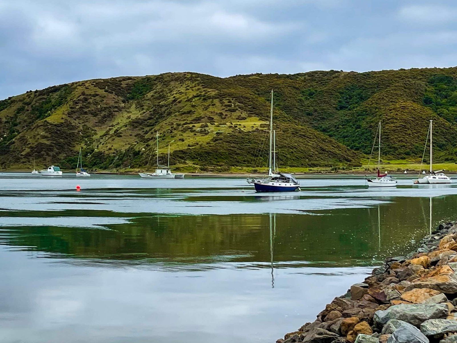
Continue to drive on through Pukerua Bay and Plimmerton to reach the Mana bridge over Te Awarua O Porirua (Porirua Harbour). There is a carpark on the right immediately over the bridge. From there you can access a shared cycle and walkway around both arms of the harbour. Look out for the superb reflections on a calm day!
Hemi Matenga Reserve
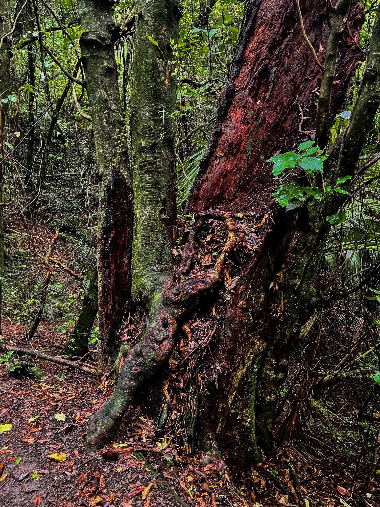
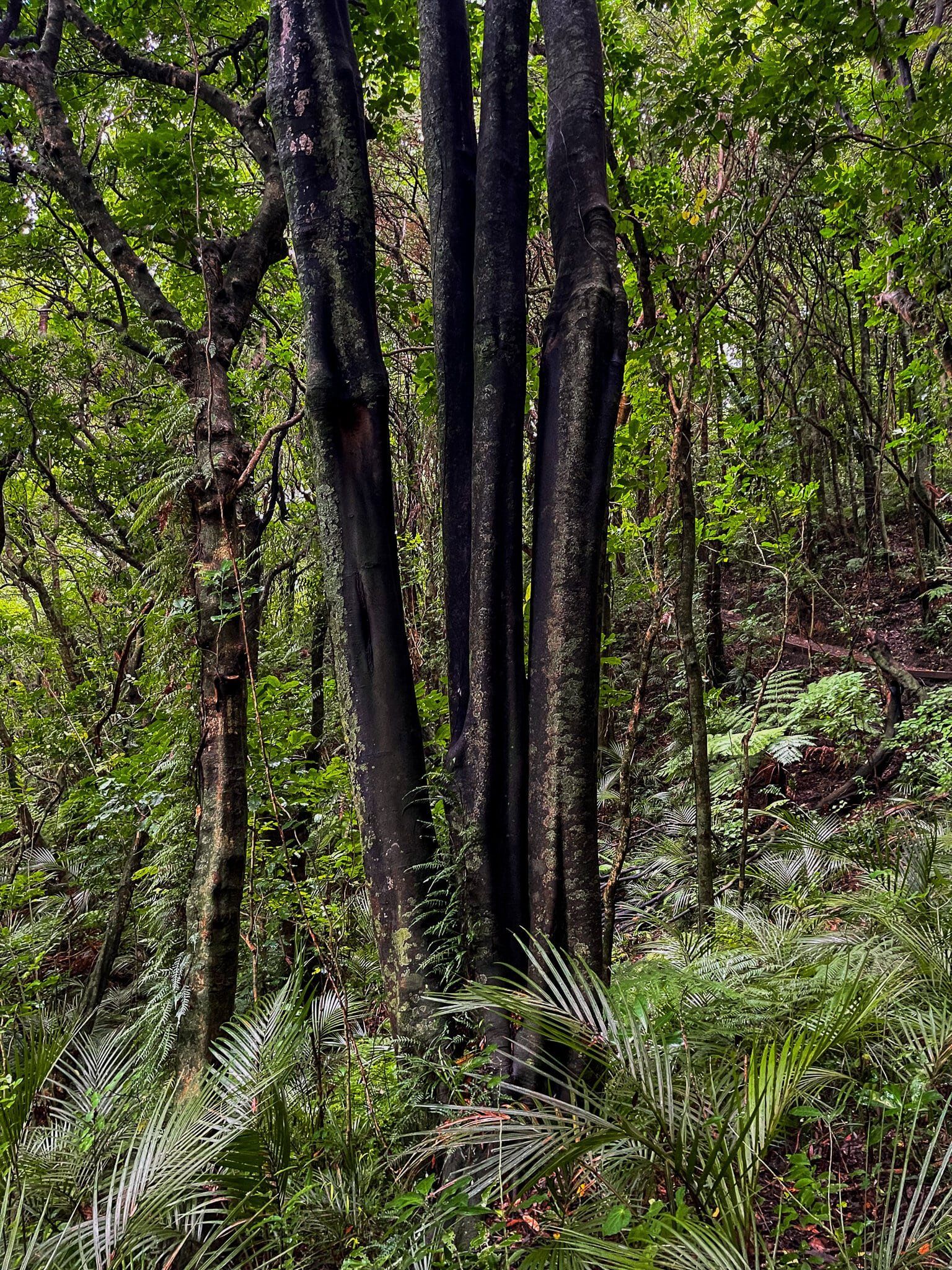
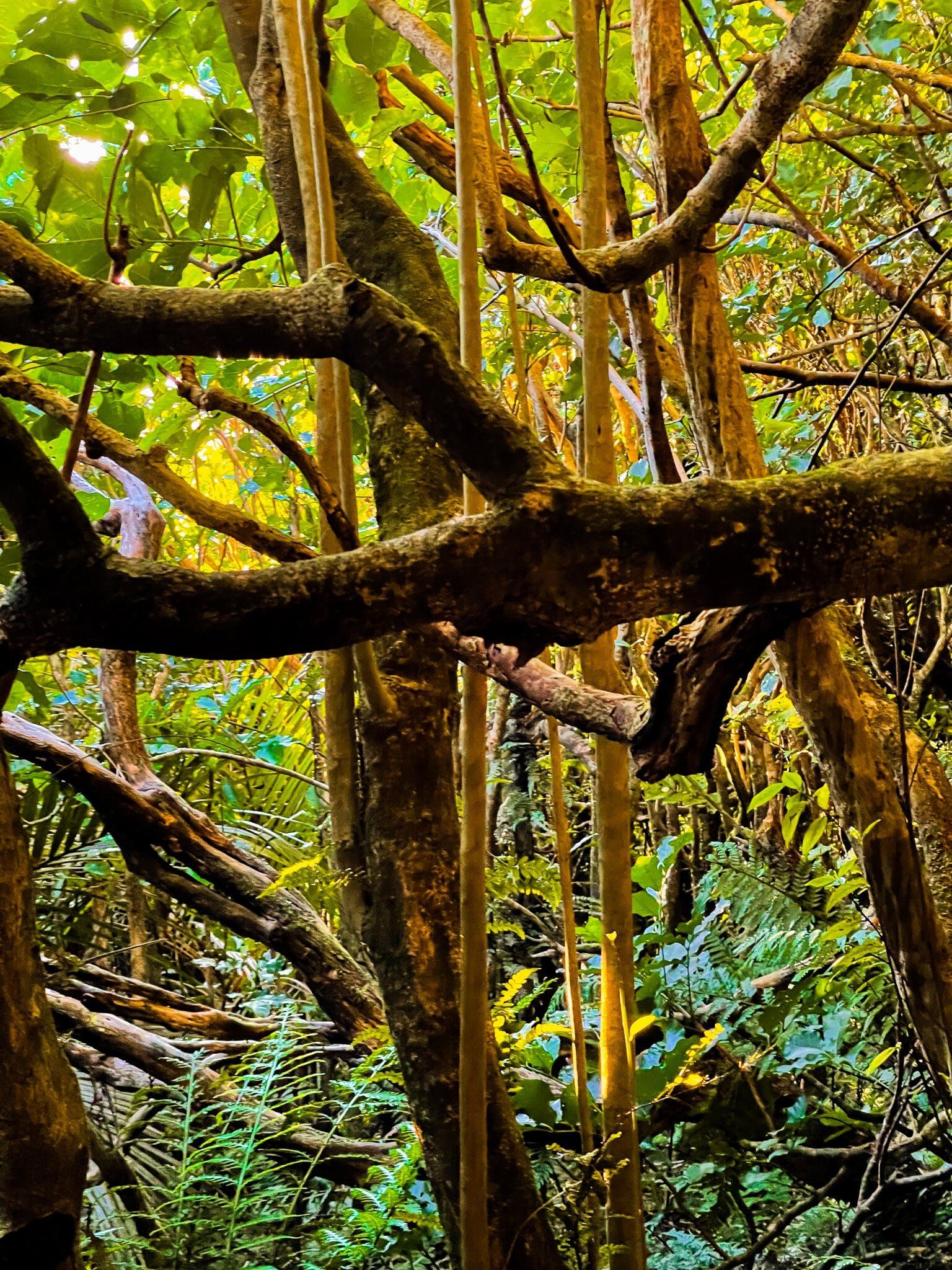
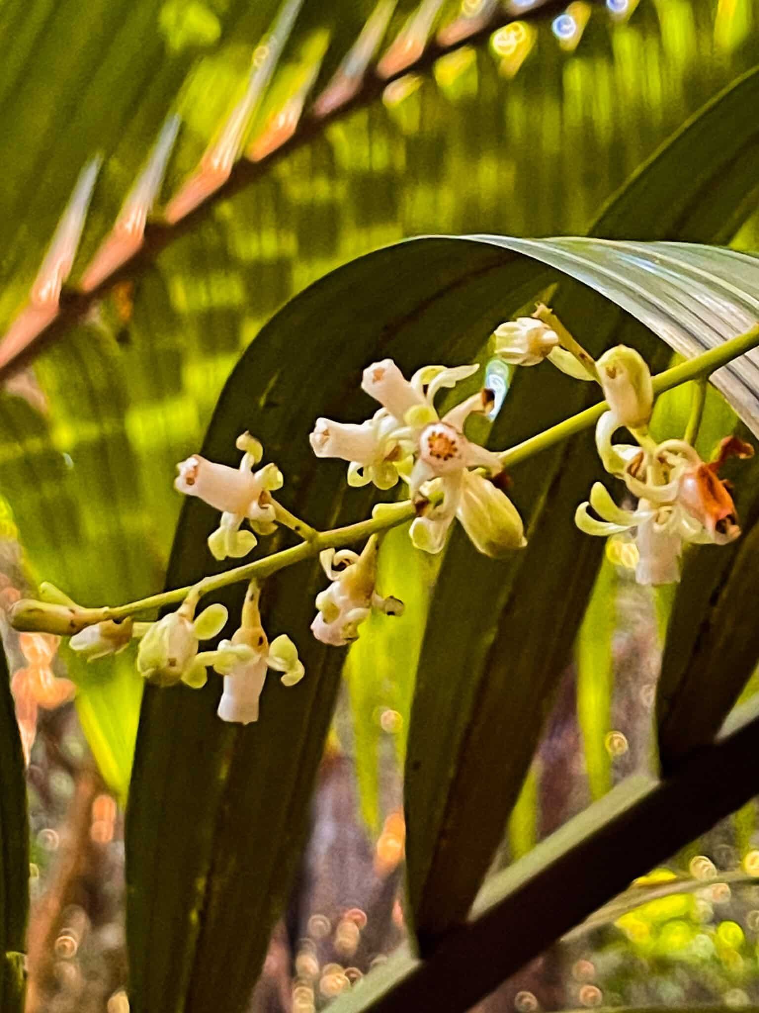
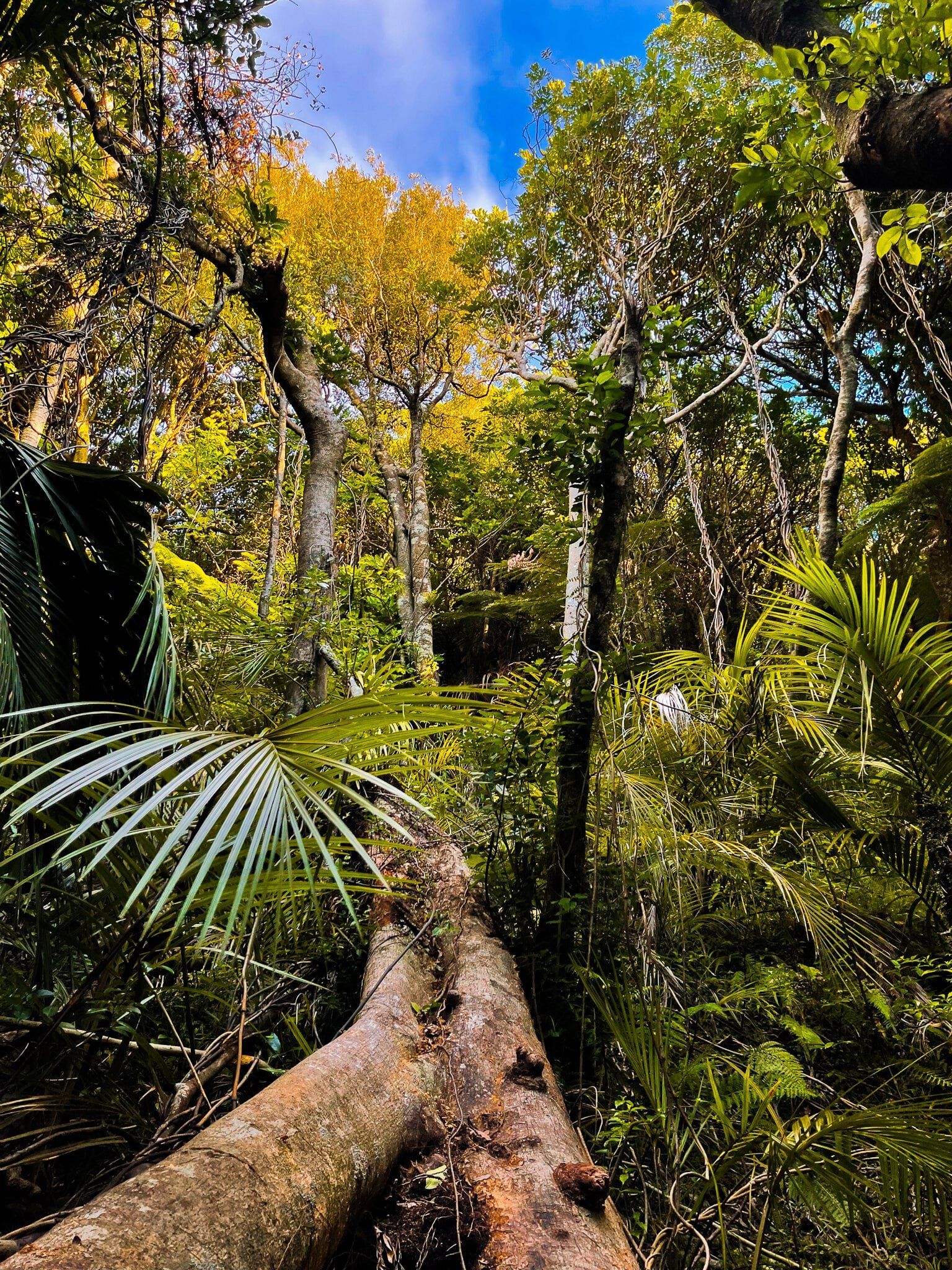
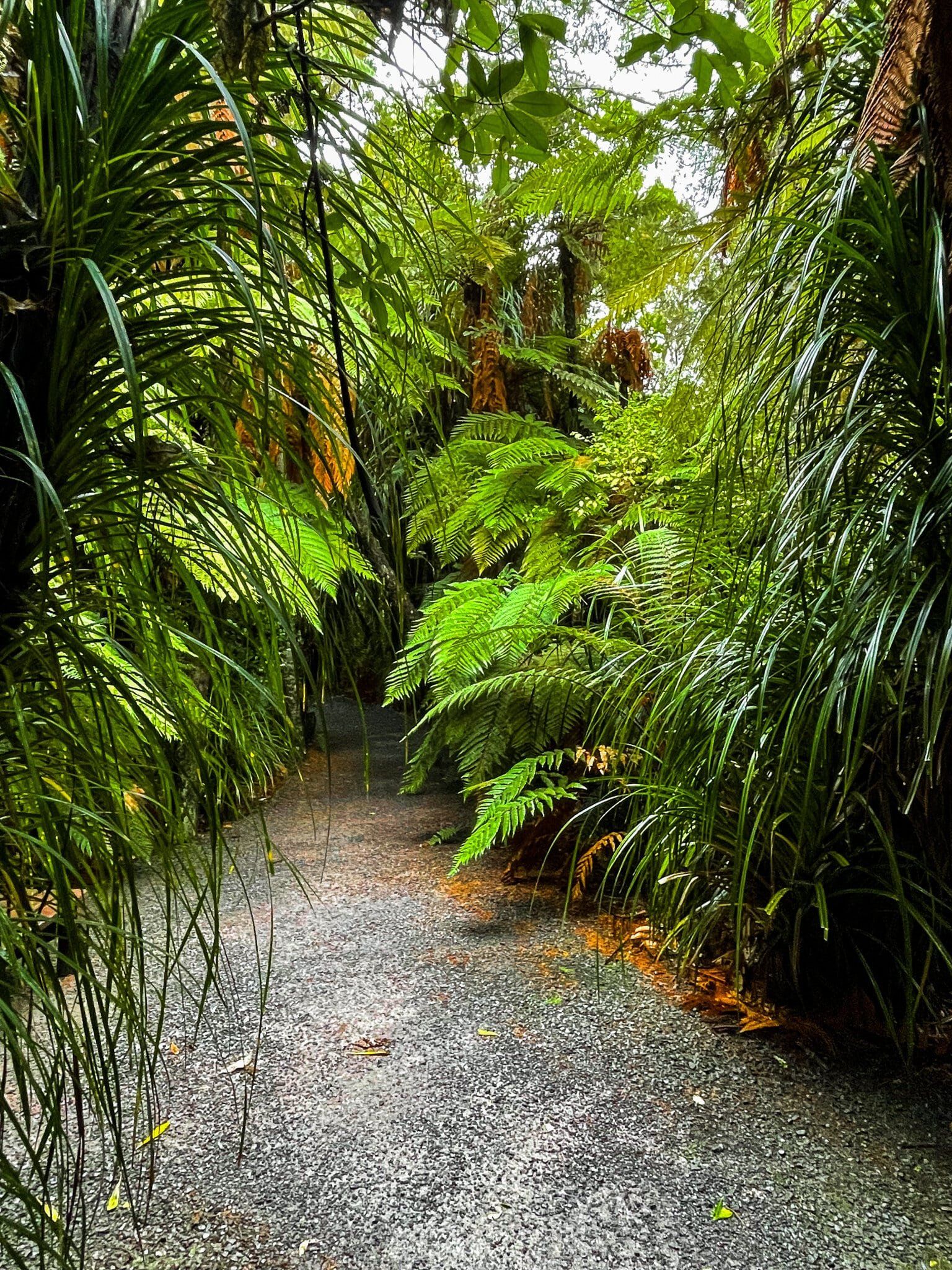
It’s not too easy to find an accessible and significant stand of largely untouched kohekohe forest around NZ. The tree was typically found in lowland coastal areas of NZ and was once dominant throughout the Kāpiti Coast. However, these areas were generally clear-felled for farming. Then it turned out that possums loved the flowers and fruit, so further damage was inflicted. This is a pity as the kohekohe tree has some interesting properties – it produces clusters of white flowers in winter directly from its trunk and large branches, turning into fruit that takes over a year to ripen.
In 1900, Hemi Matenga of Ngāti Toa purchased a large piece of land in the area. After his death in 1912, 330 hectares on the side of the range east of Waikanae was turned into a reserve. The bottom 30 hectares is the largest remaining kohekohe forest in the region.
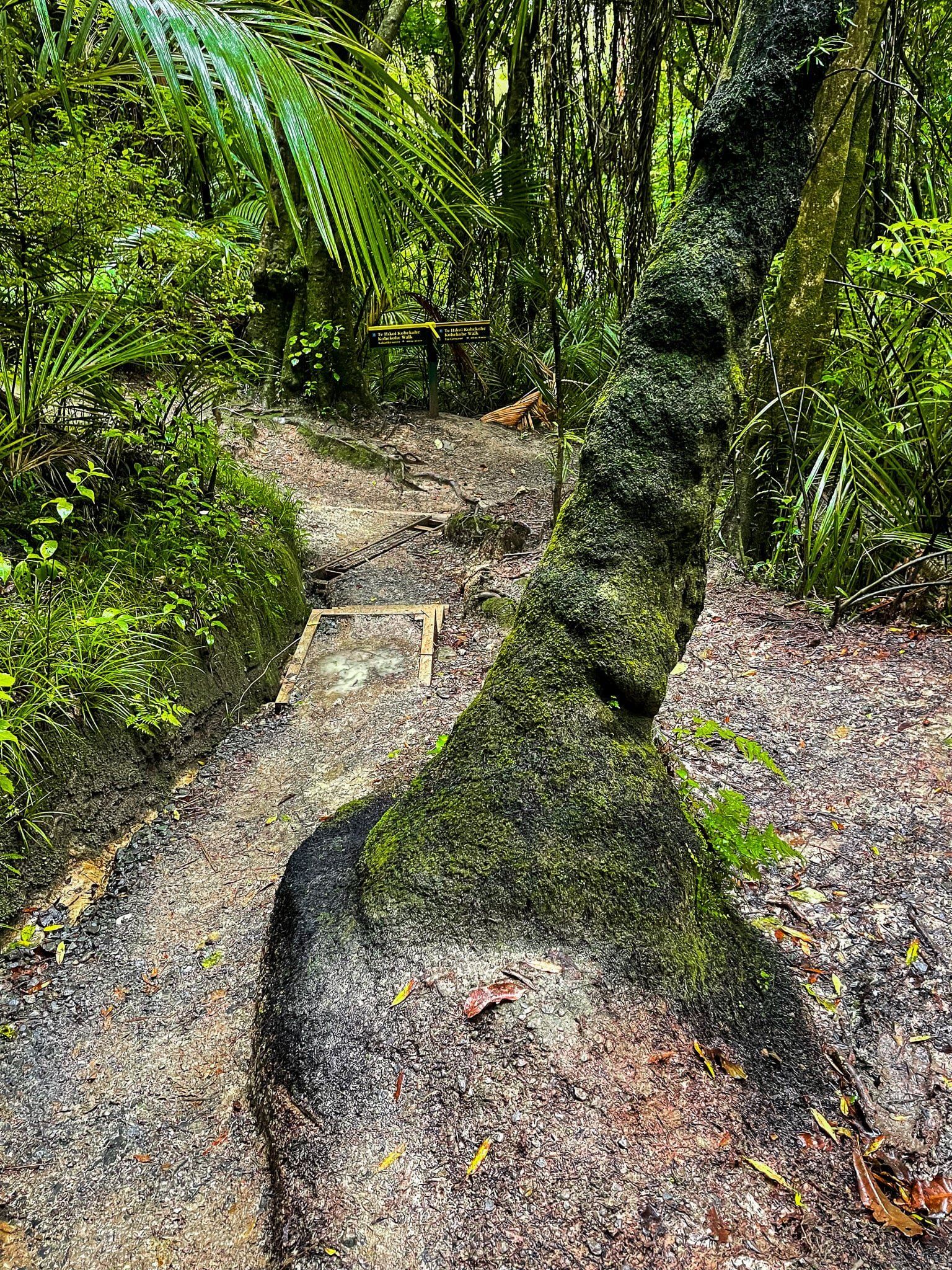
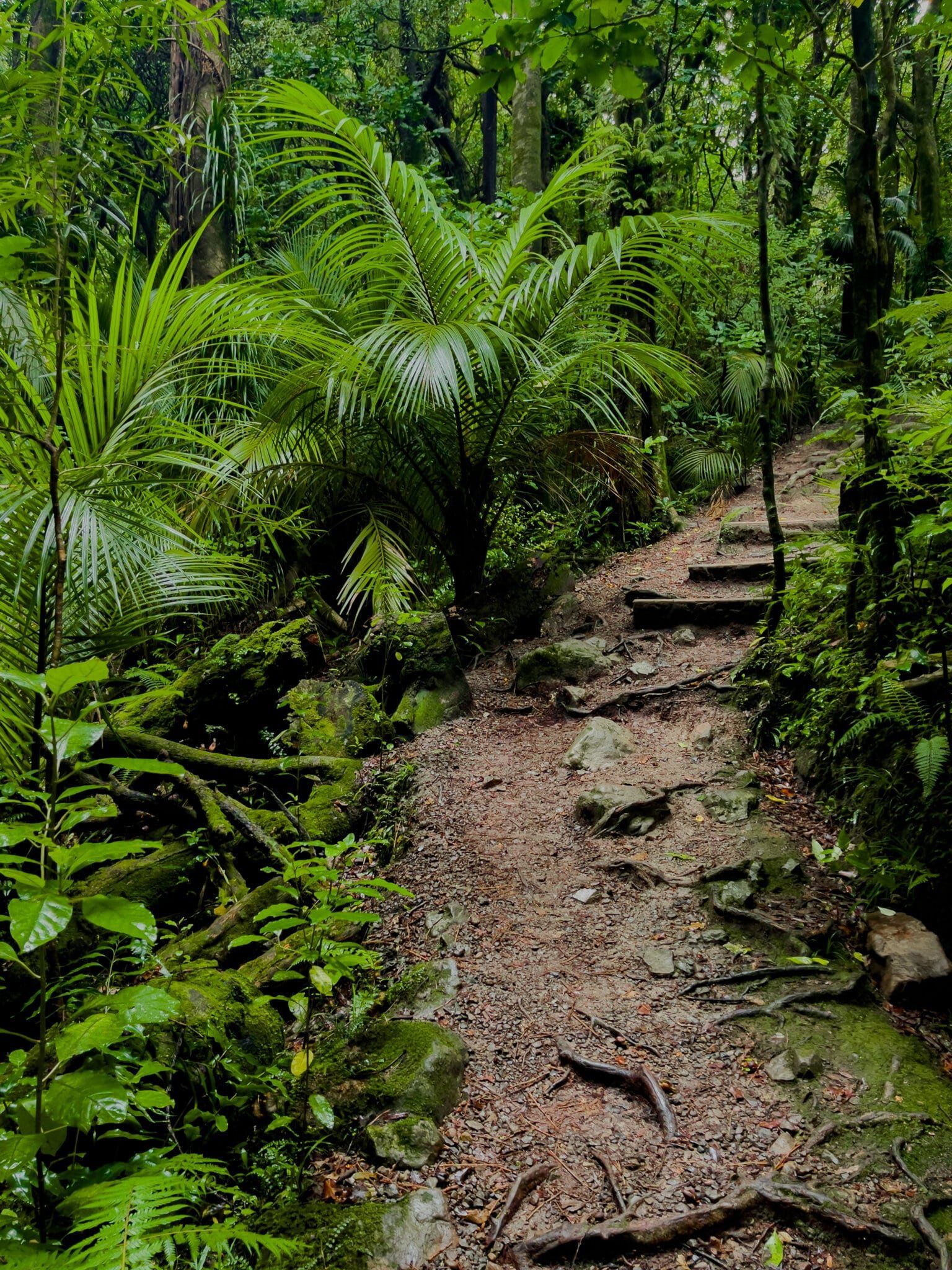
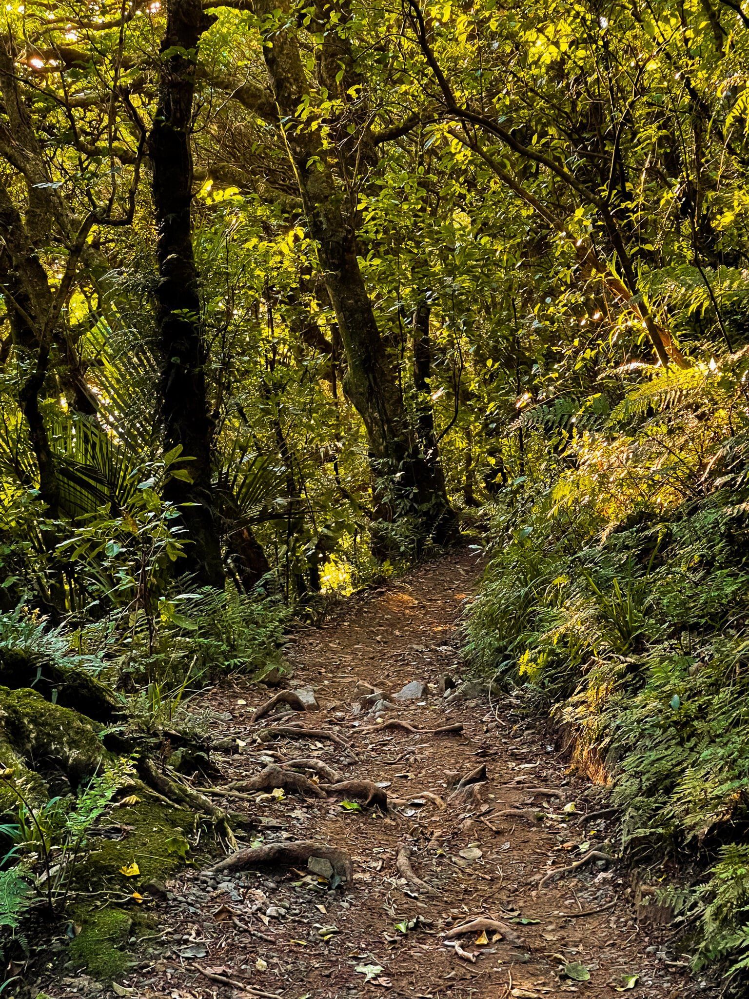
There are three walking options in the reserve. The first and quickest is the short Kohekohe Track which links Tui Crescent and Kakariki Grove (30 minutes return). You can park at either end, or walk up Elizabeth St from the Waikanae train station.
Parata Track
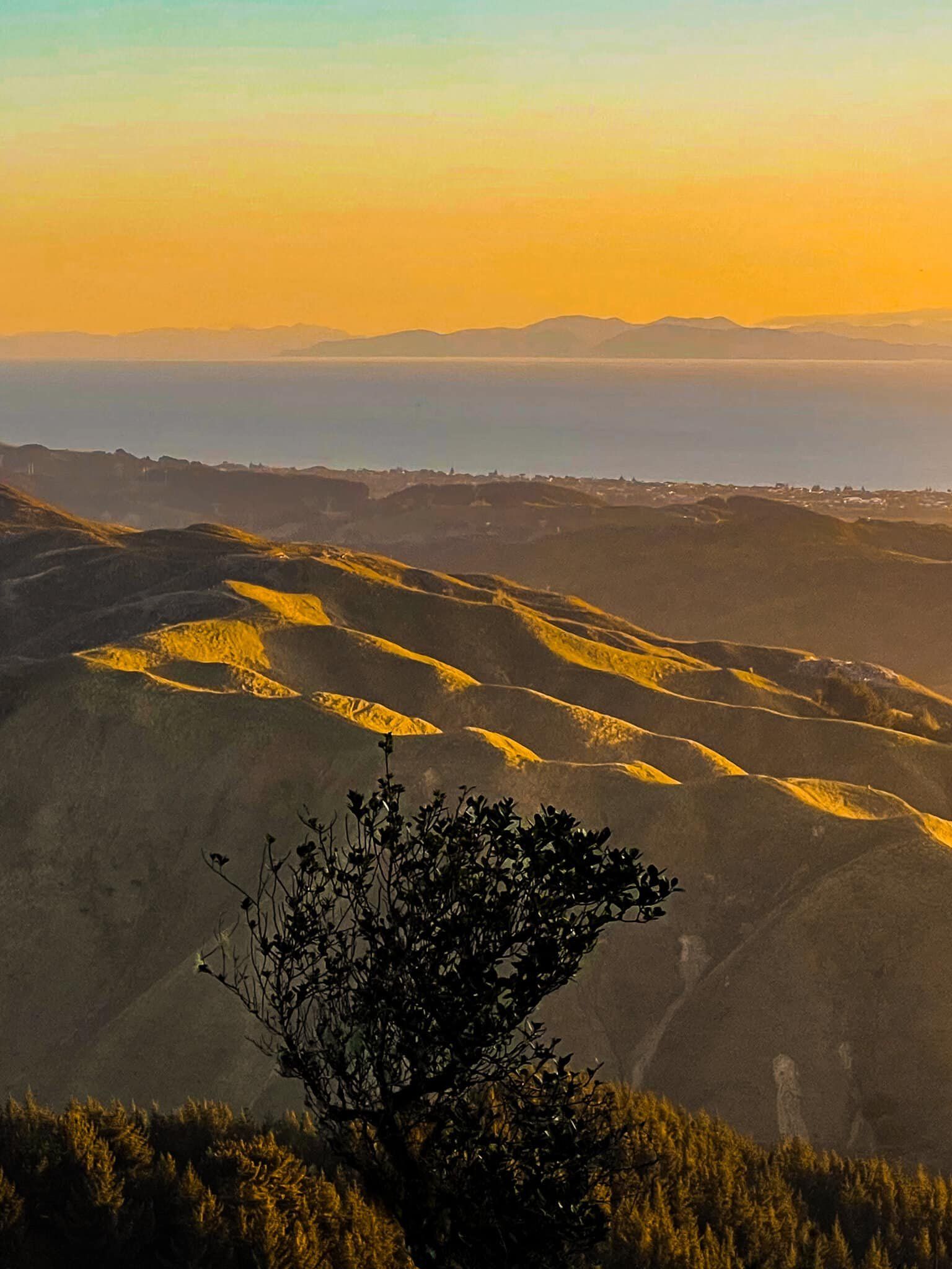
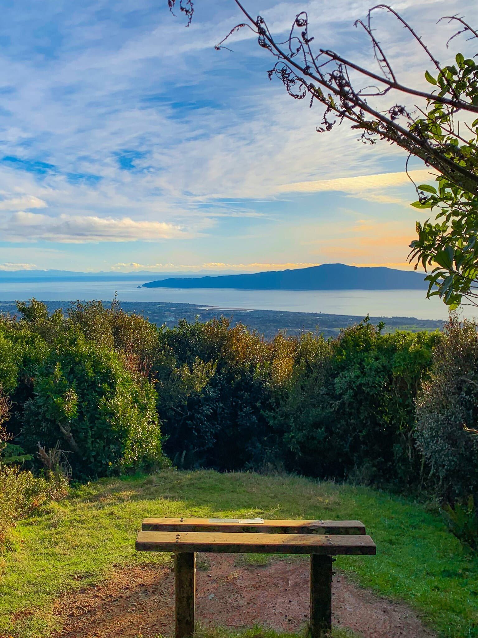
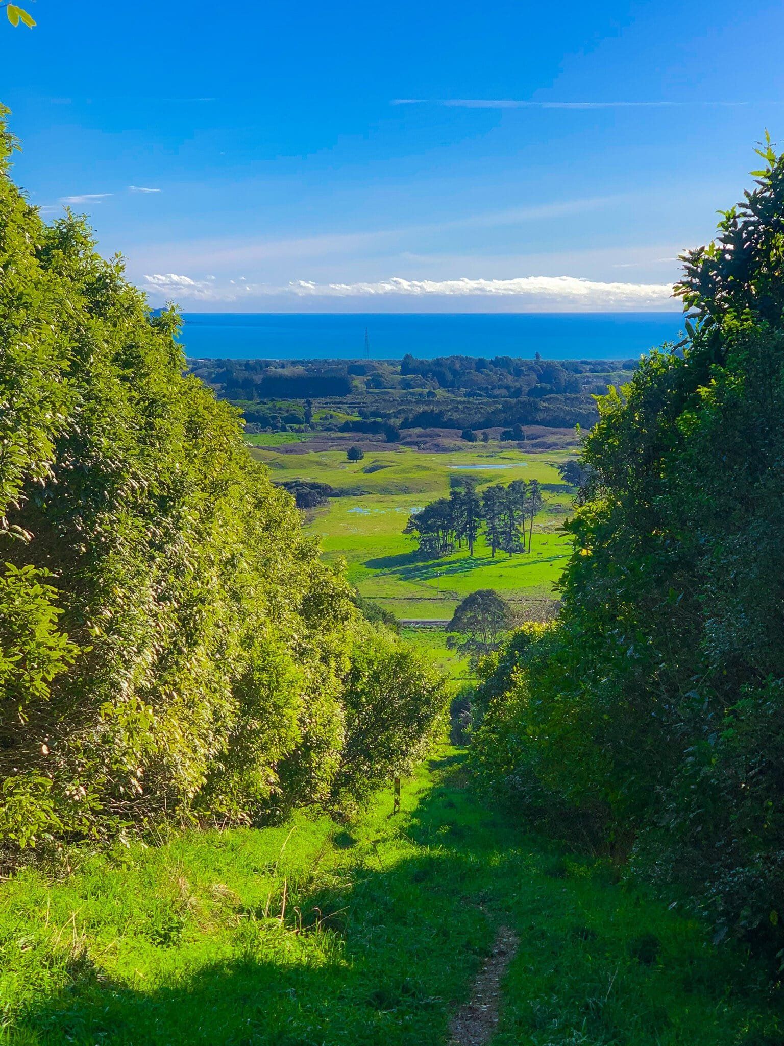
The turn off to the Pararta Track is a few minutes up the Kohekohe Track in Hemi Matenga Reserve. It takes at least an hour return and climbs up 380 metres, quite steeply, to a high point at 480 metres. From there you can continue north over the highest point at 521 metres on Te Au tramping track, then down to an access point on Huia Street. Allow 3 to 4 hours to complete a loop back along the road.
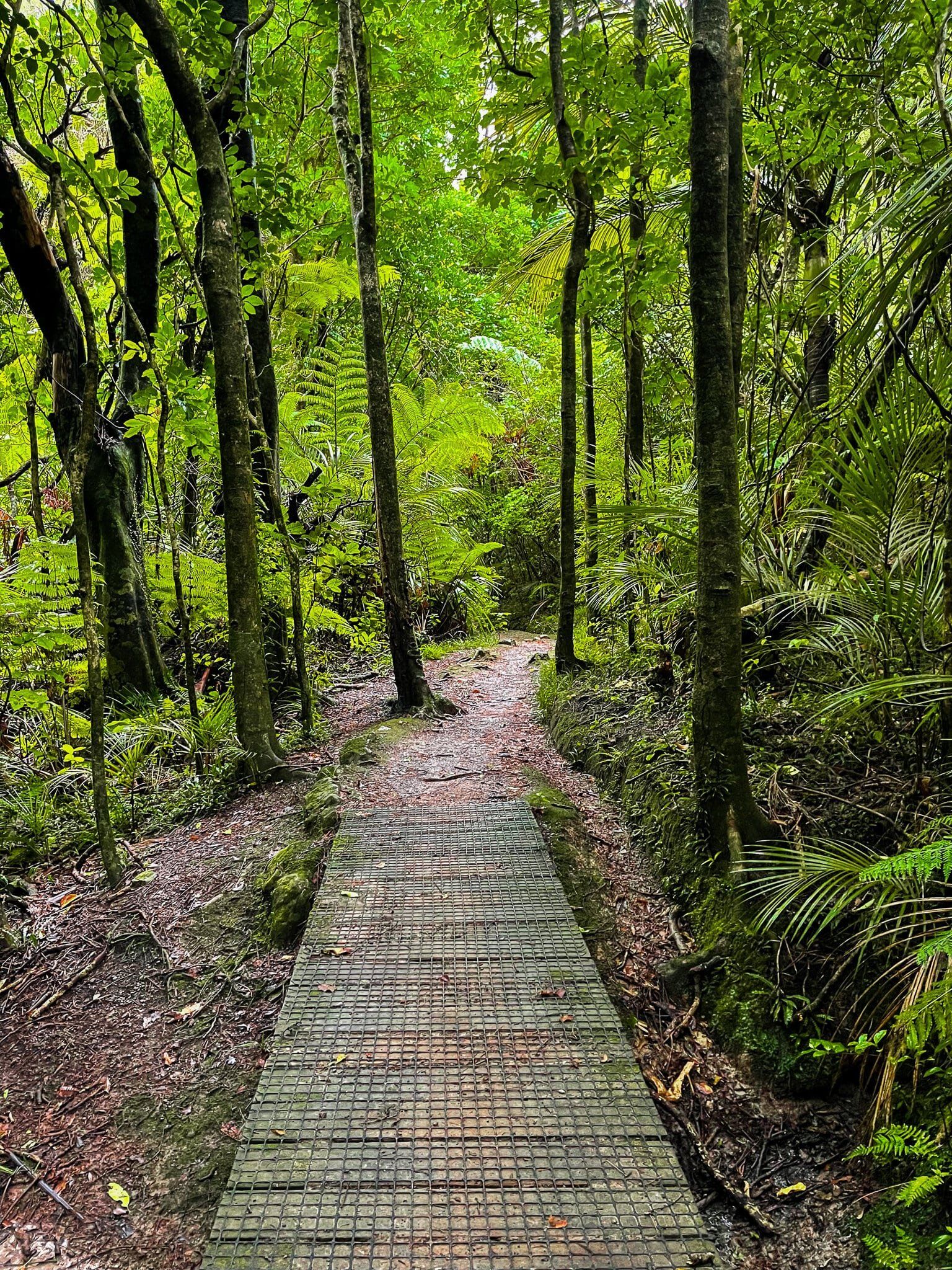
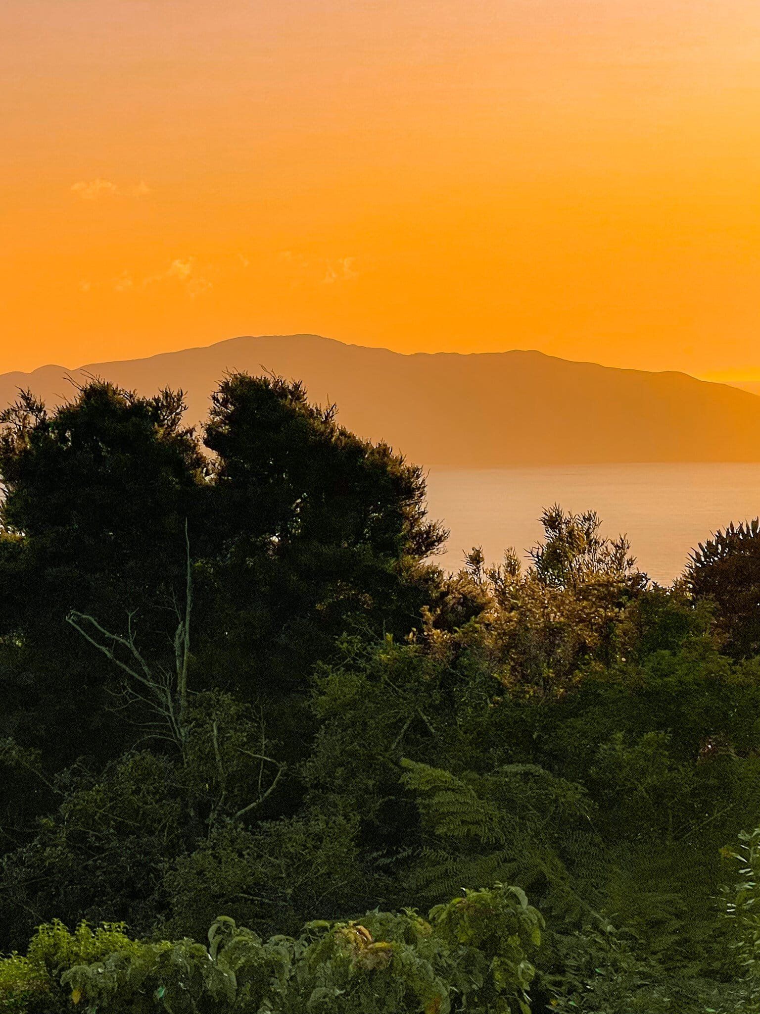
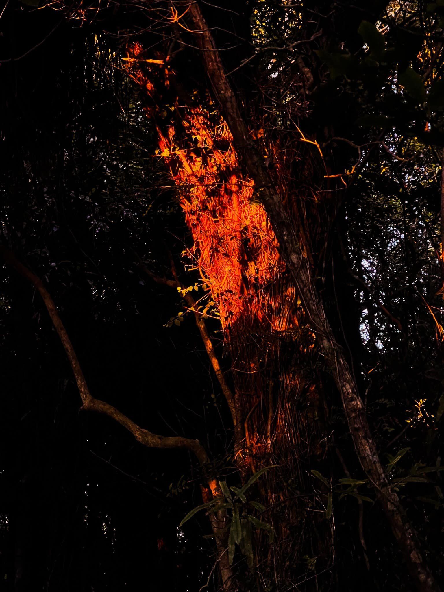
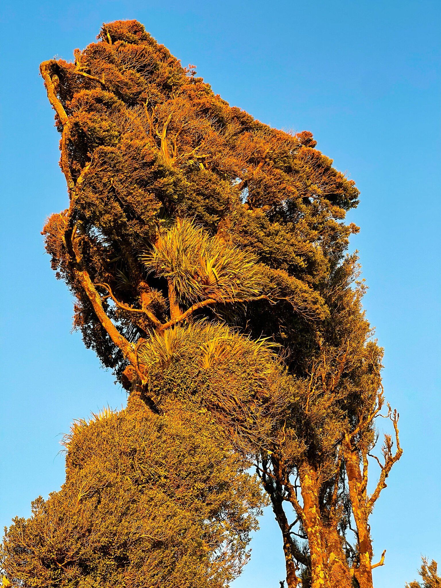
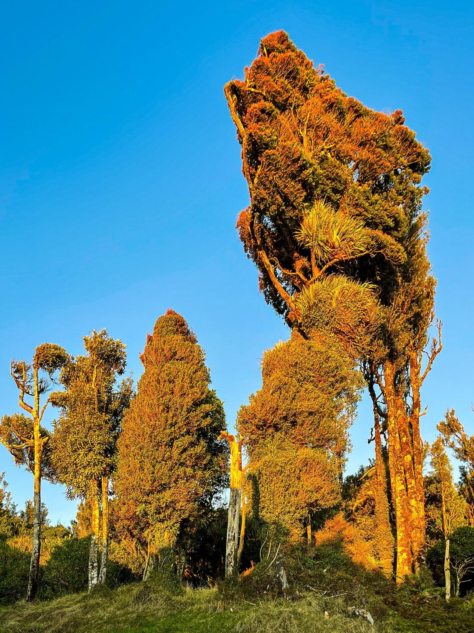
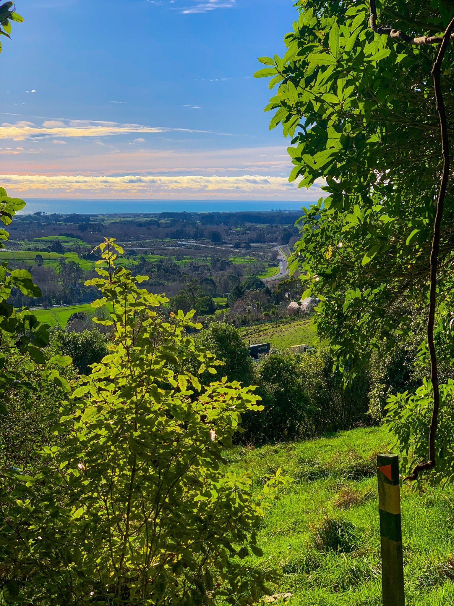
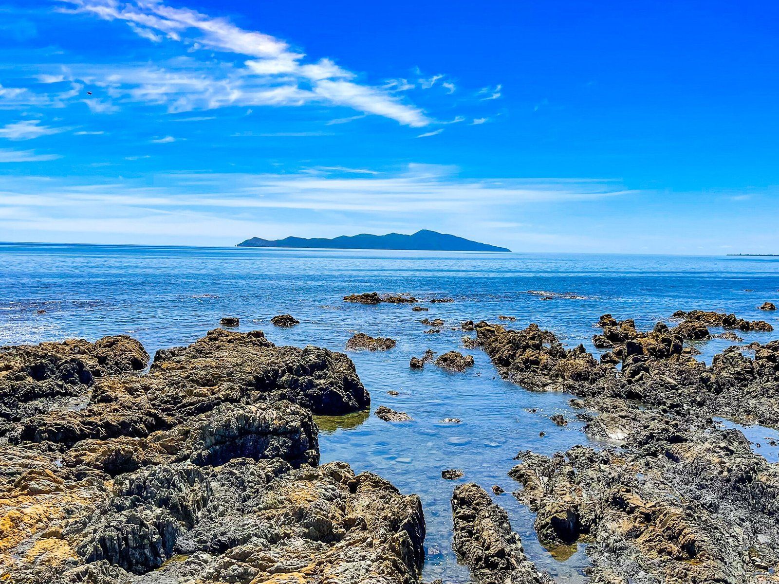
The track is very attractive, dominated lower down by kohekohe trees that were in flower at the time we walked it (mid winter). There are two viewpoints, the first looking directly back towards Kapiti Island and the second at the track high point with a more southwest view from Kapiti Island then down the coast and around to the valley below the walk. We hit the viewpoints at golden hour through sunset which also created some intense orange and reds within the forest.
From the second viewpoint, it becomes Te Au Track and is somewhat rougher.

Te Au Track
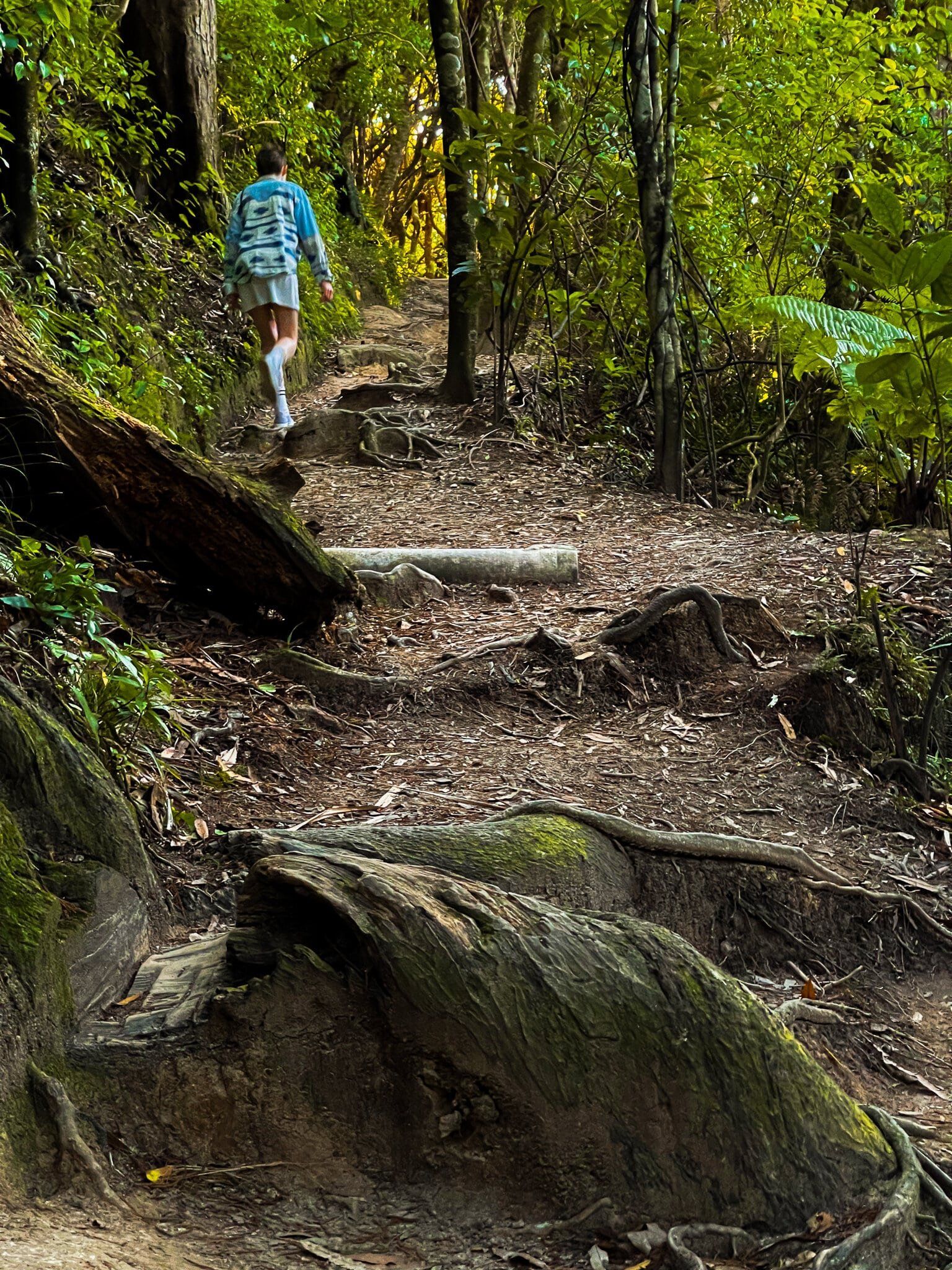
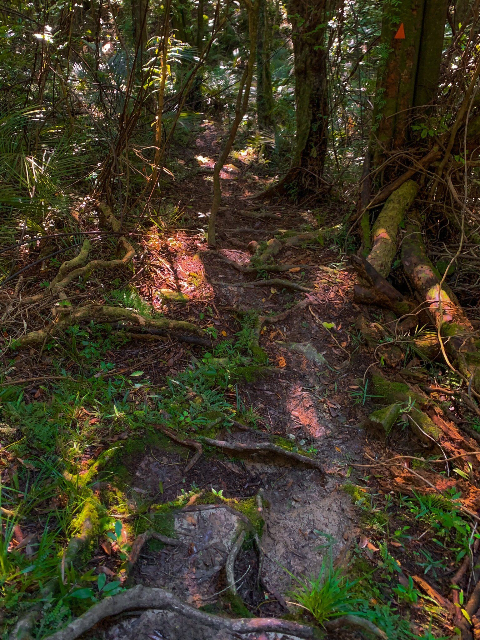
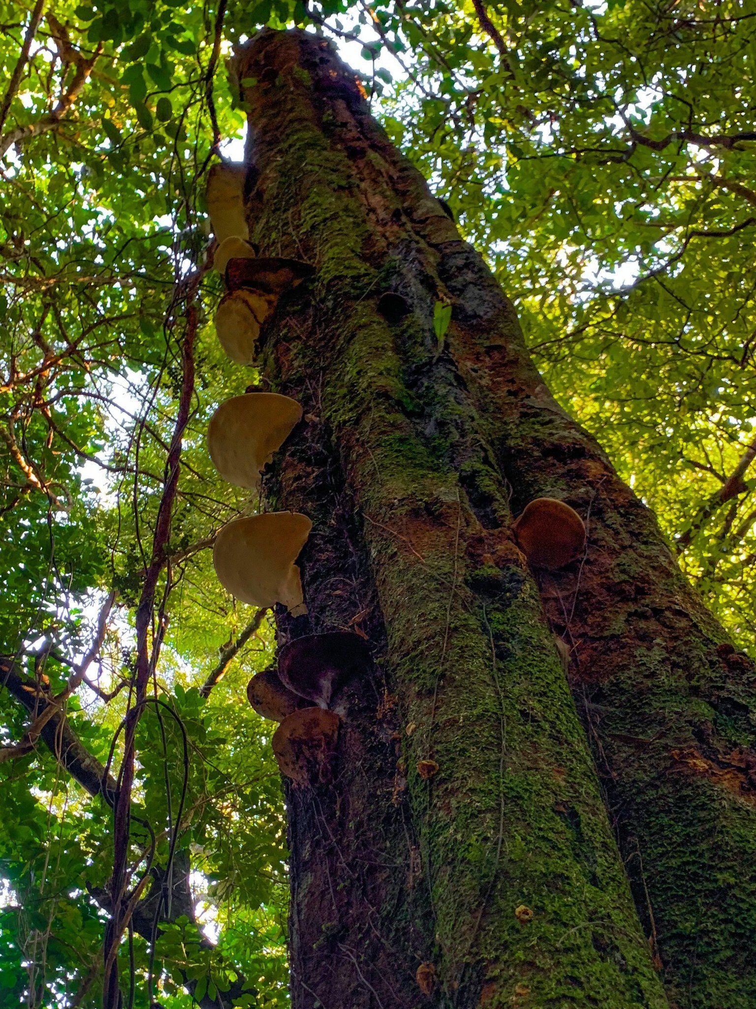
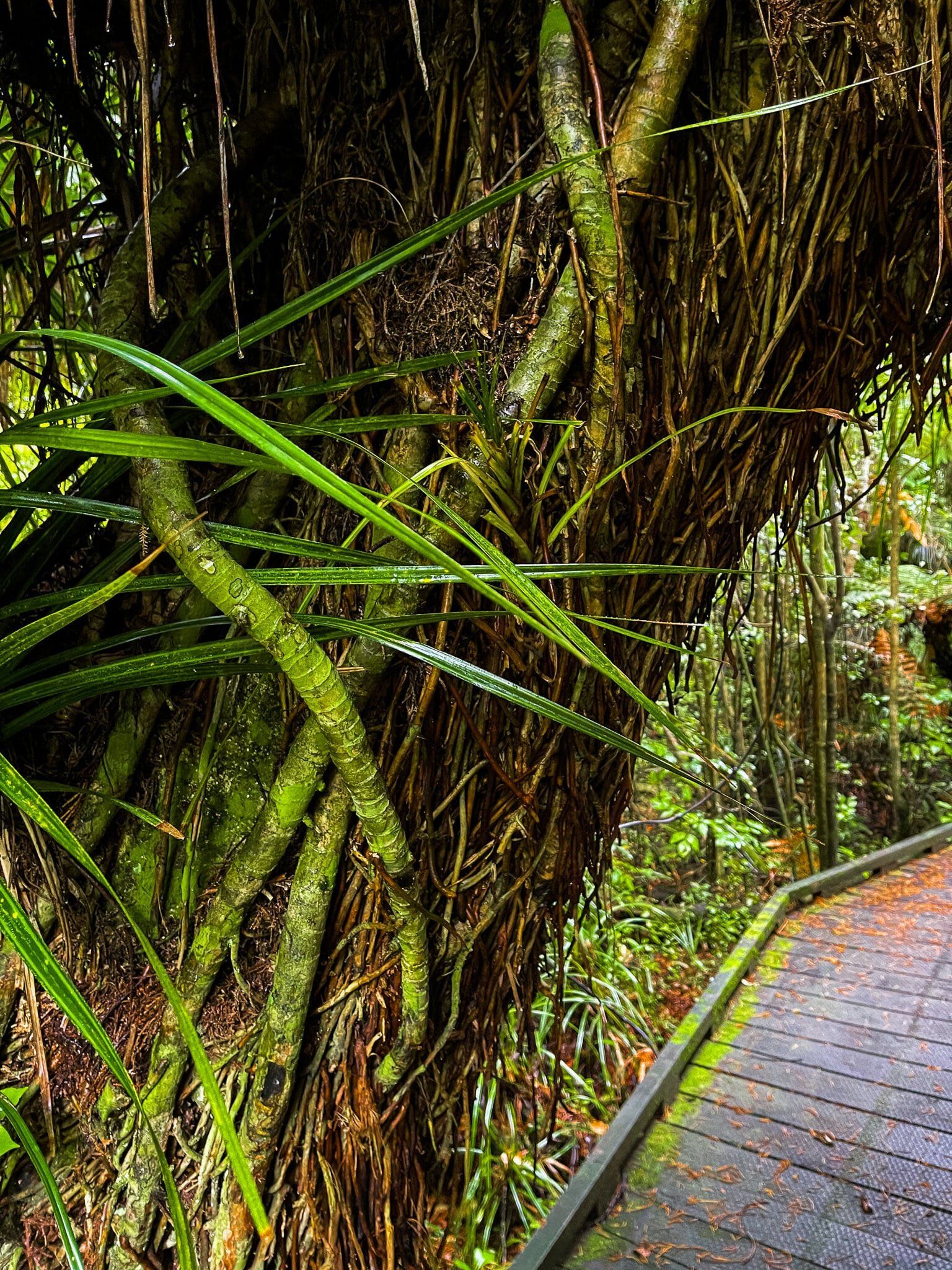
An alternate entry point into the lush kohekohe forest of Hemi Matenga Reserve is via Te Au Track, with access from Huia Road. This track is significantly more difficult than Parata and we would highly recommend taking hiking poles and wearing proper boots to anyone inclined towards attempting it.
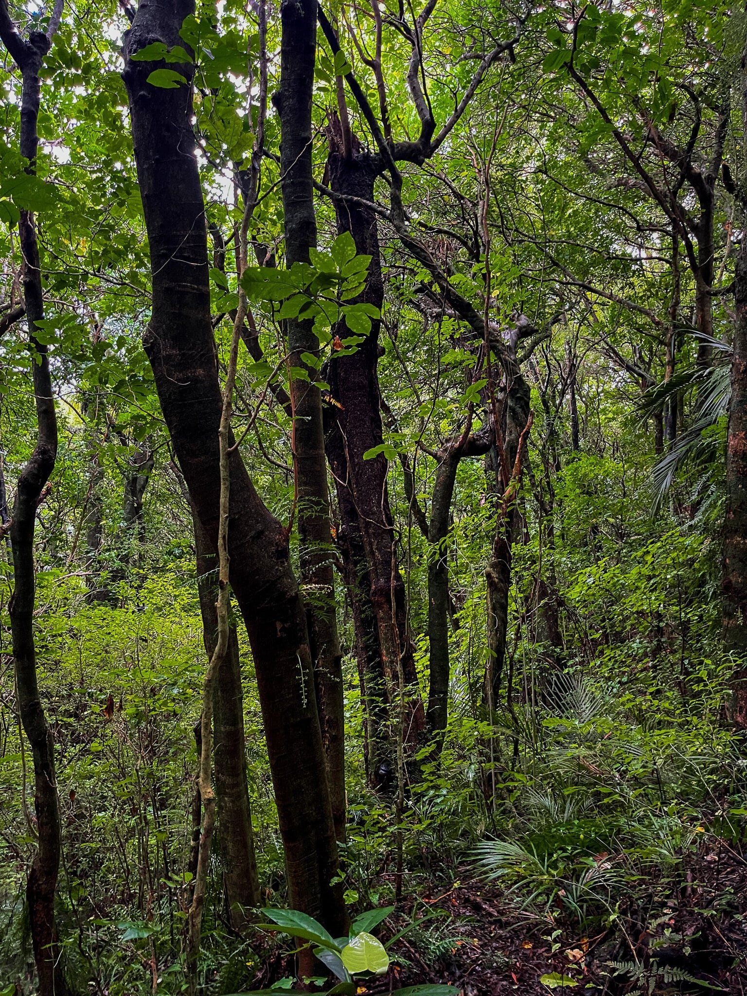
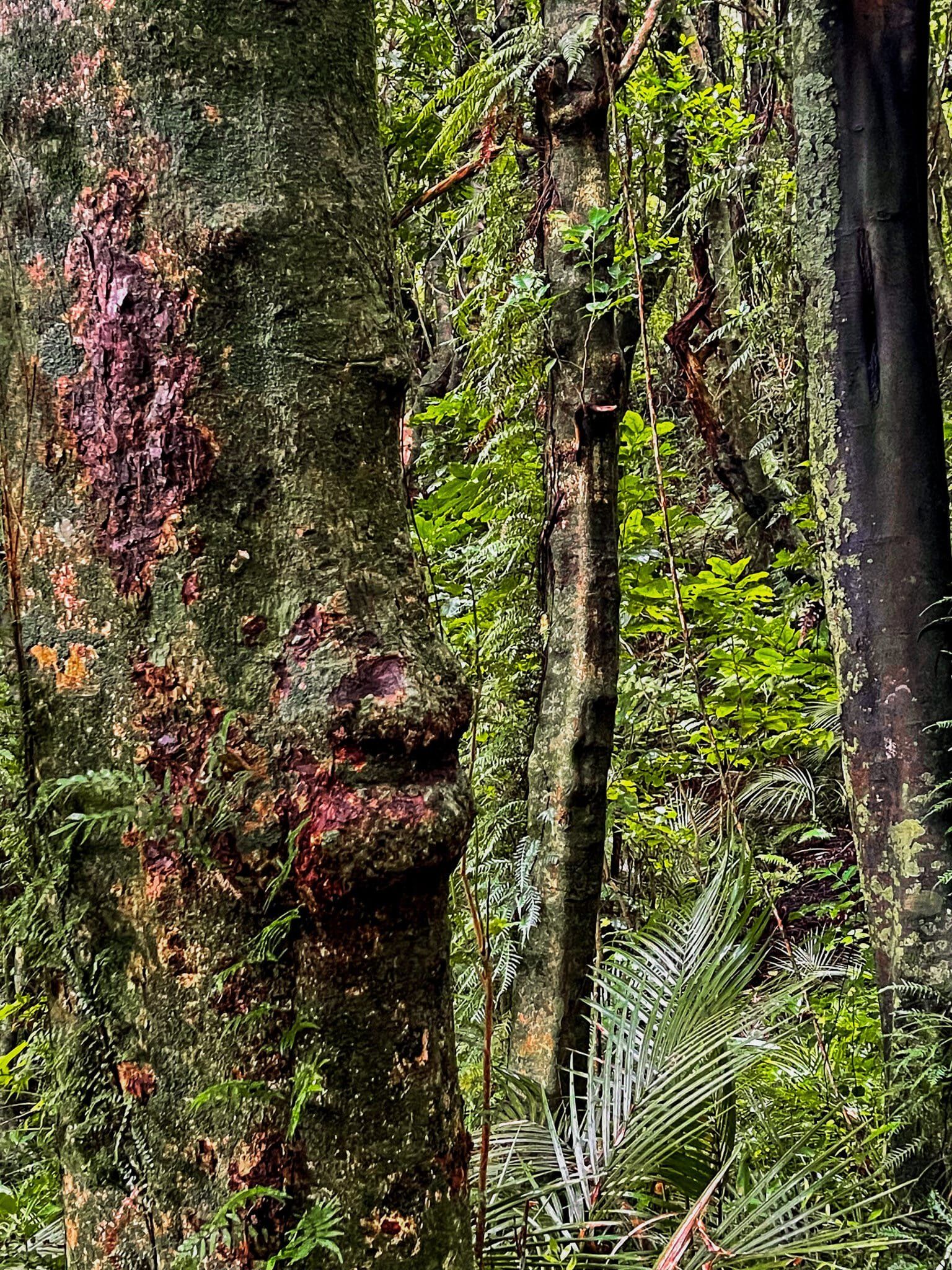
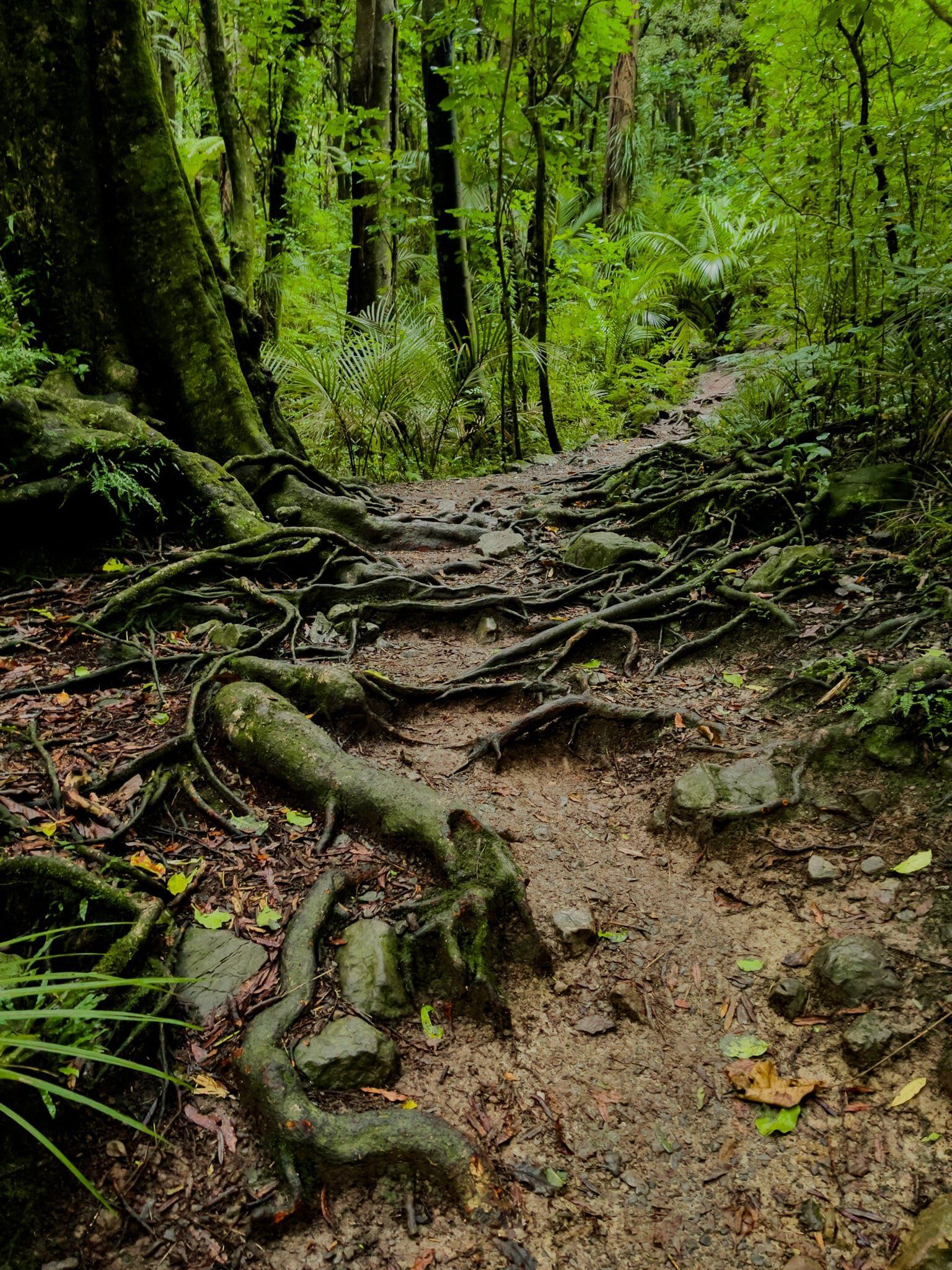
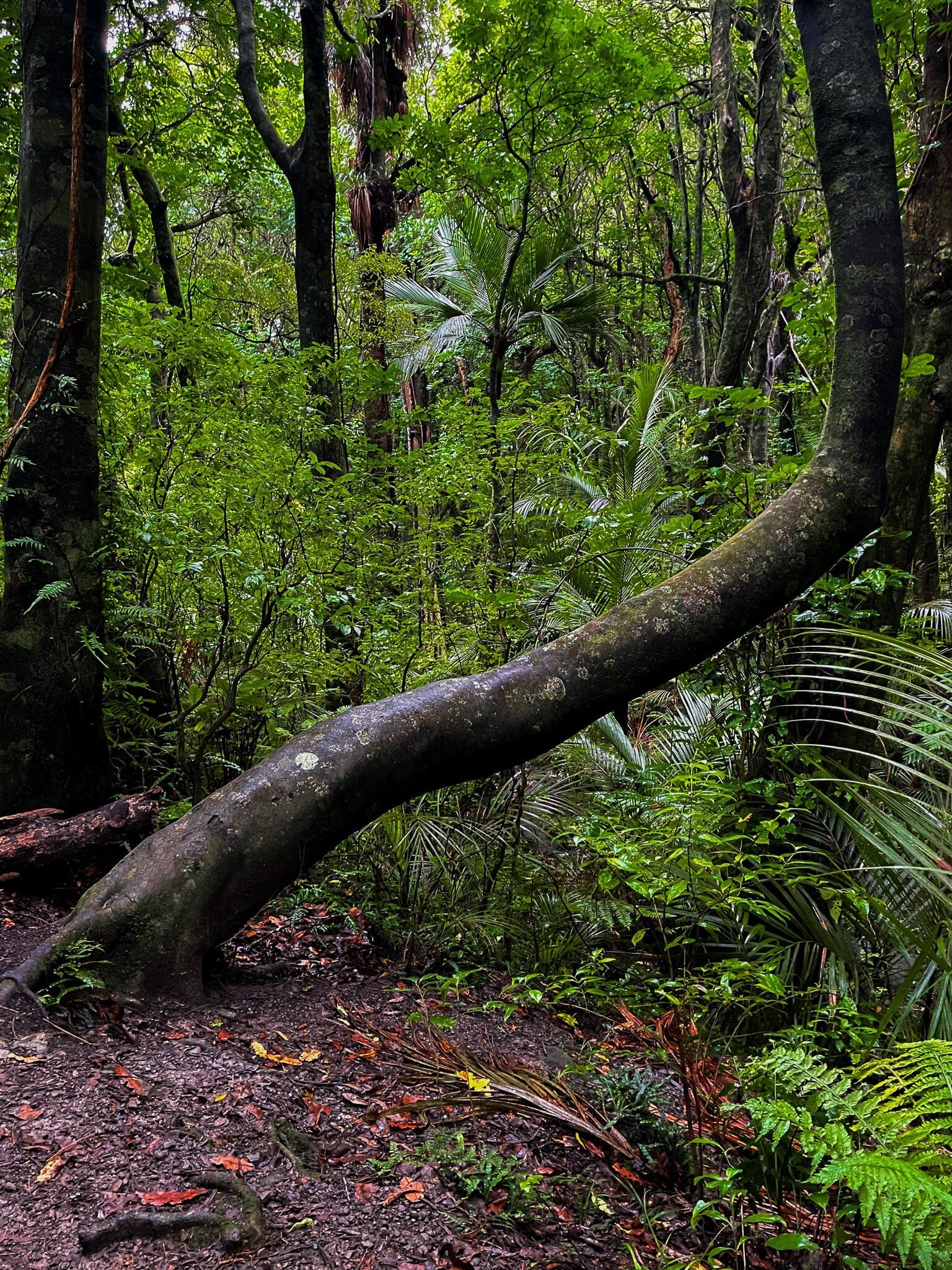
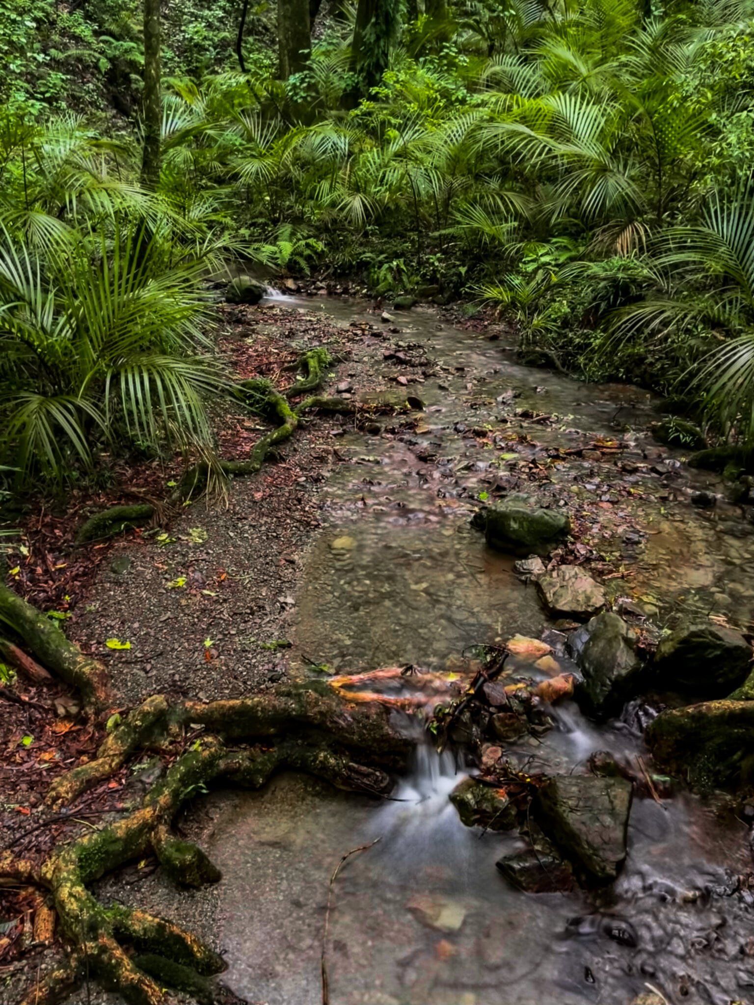
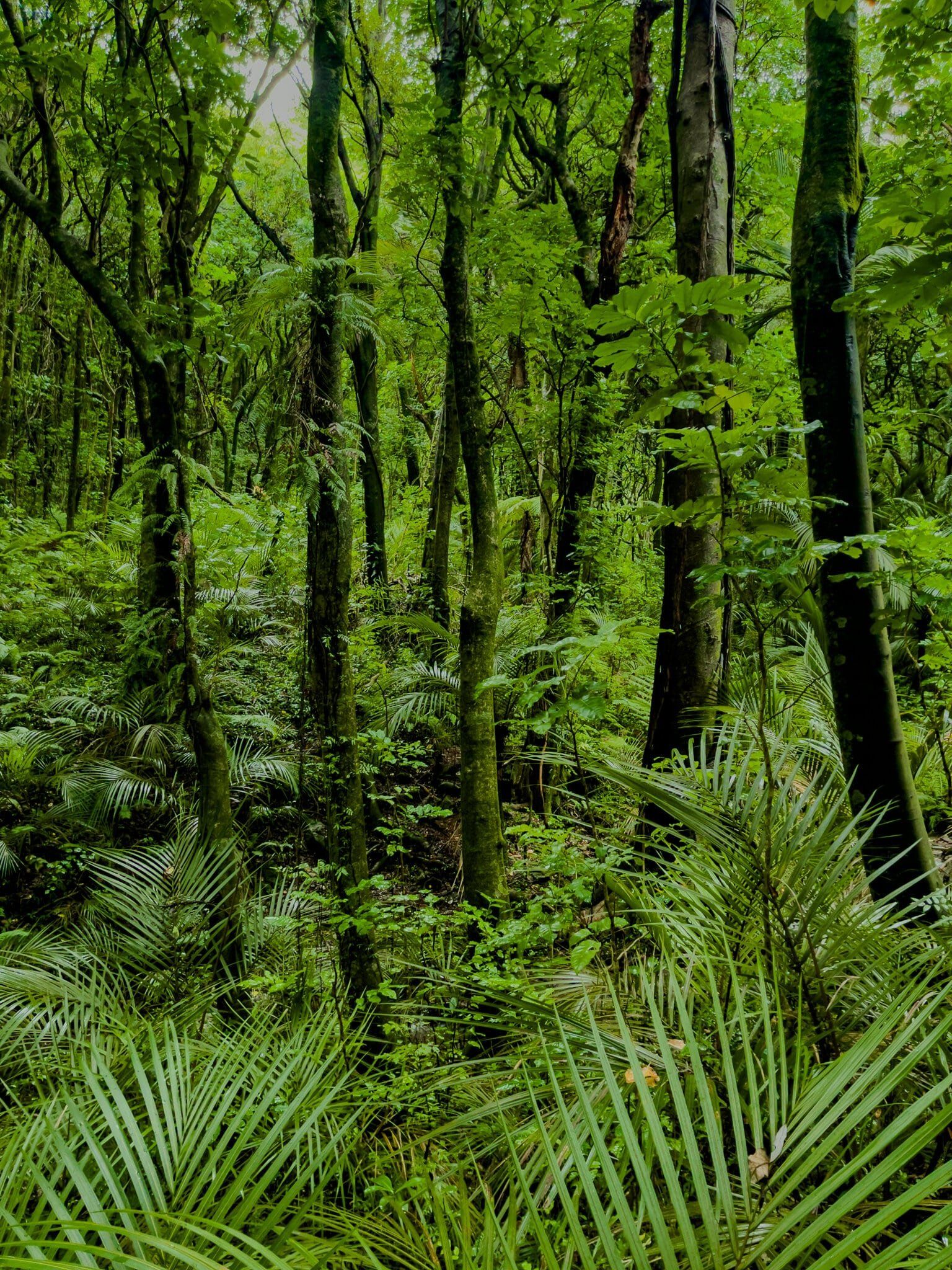
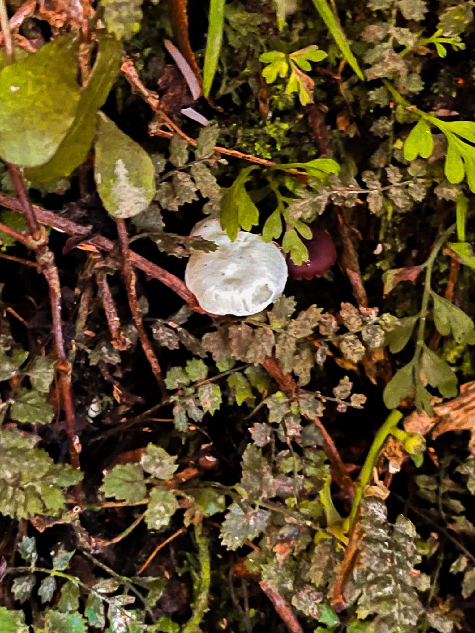
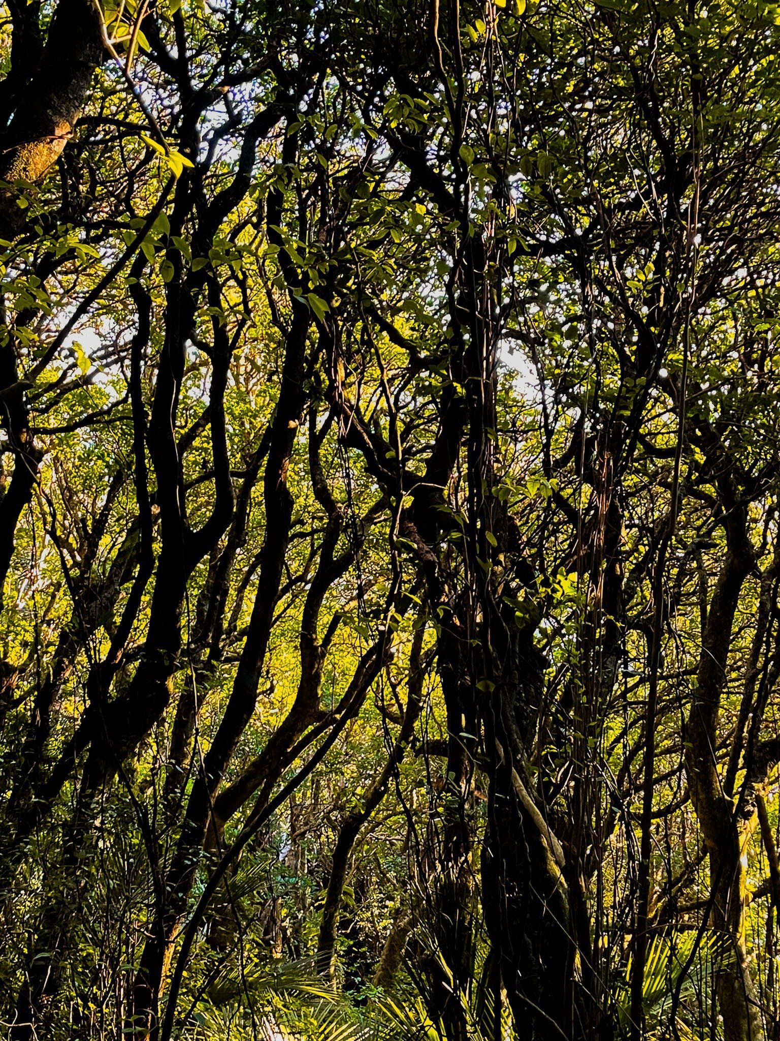
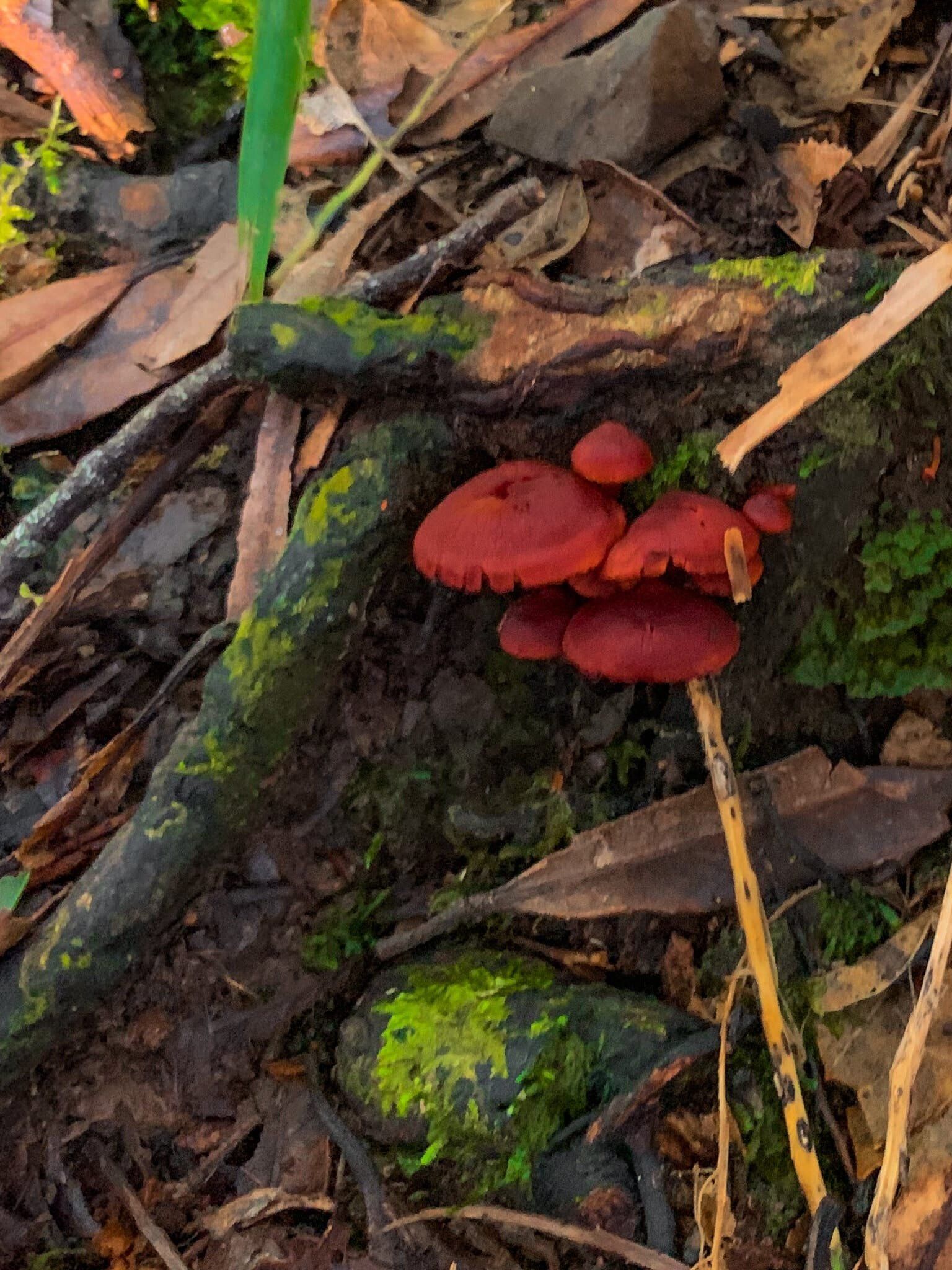
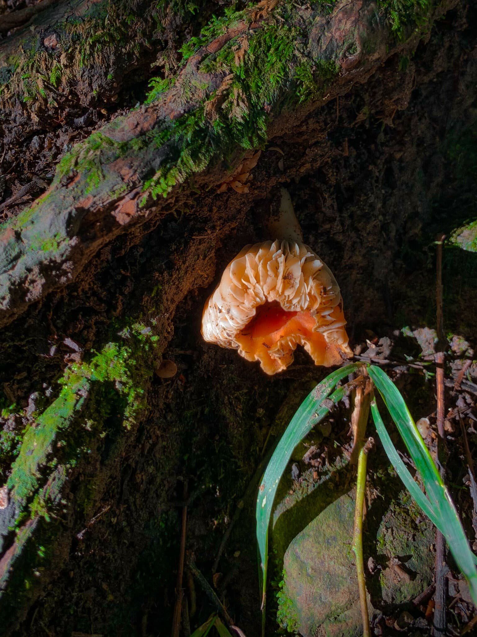
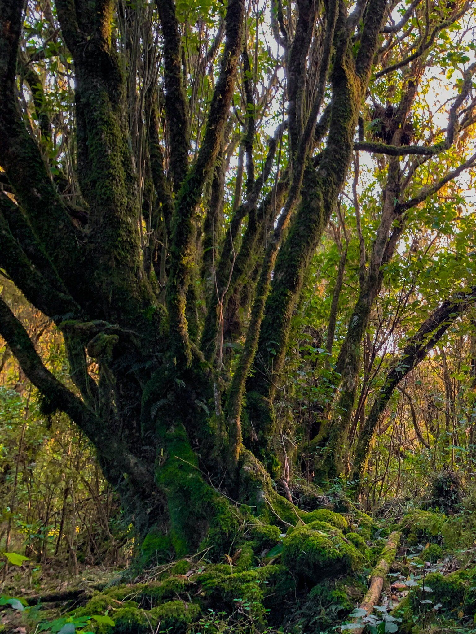
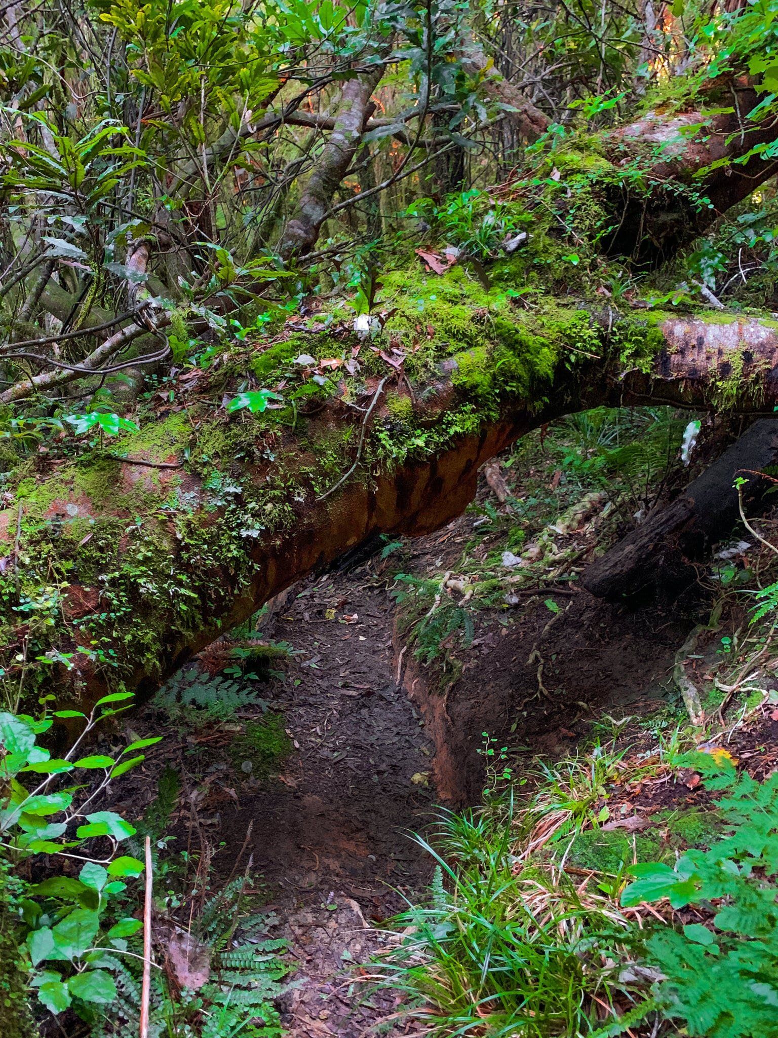
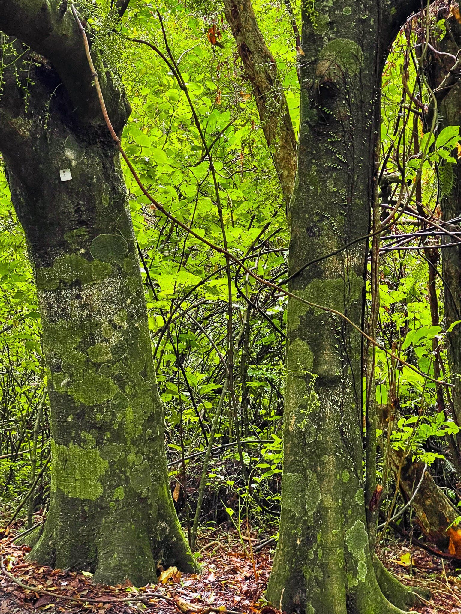
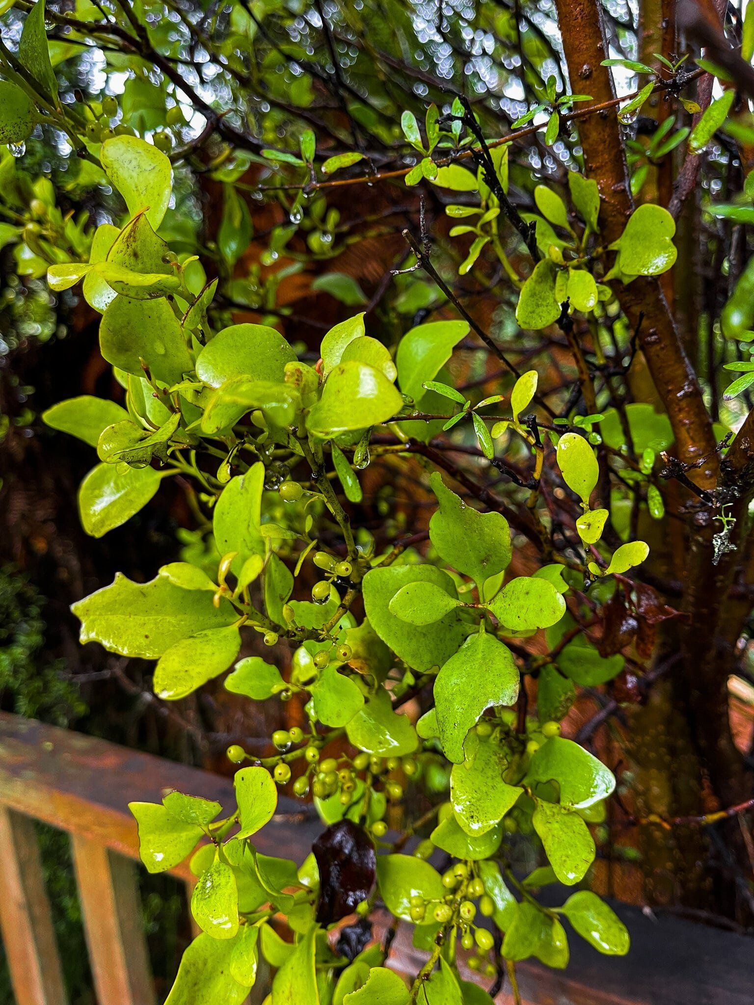
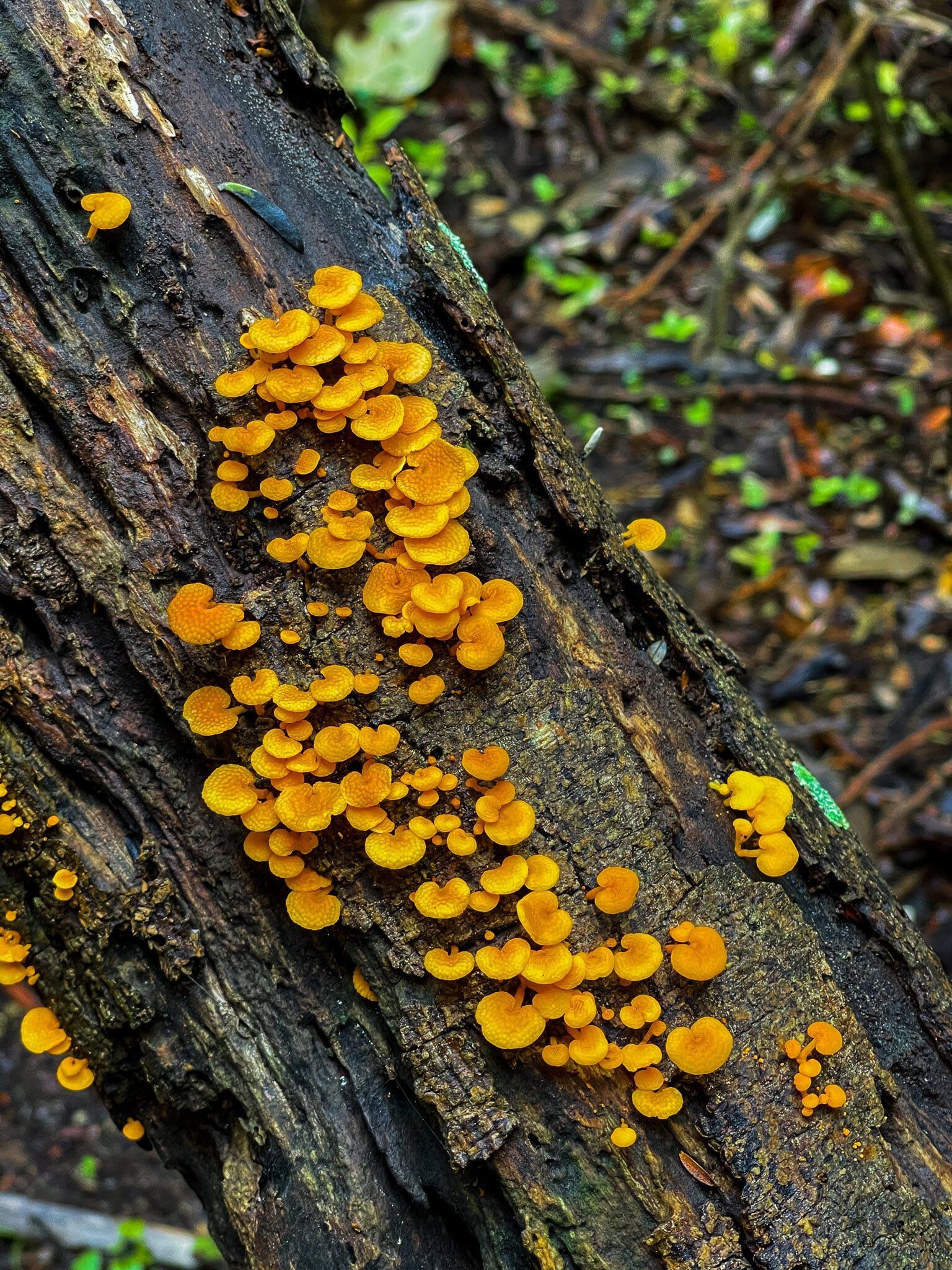
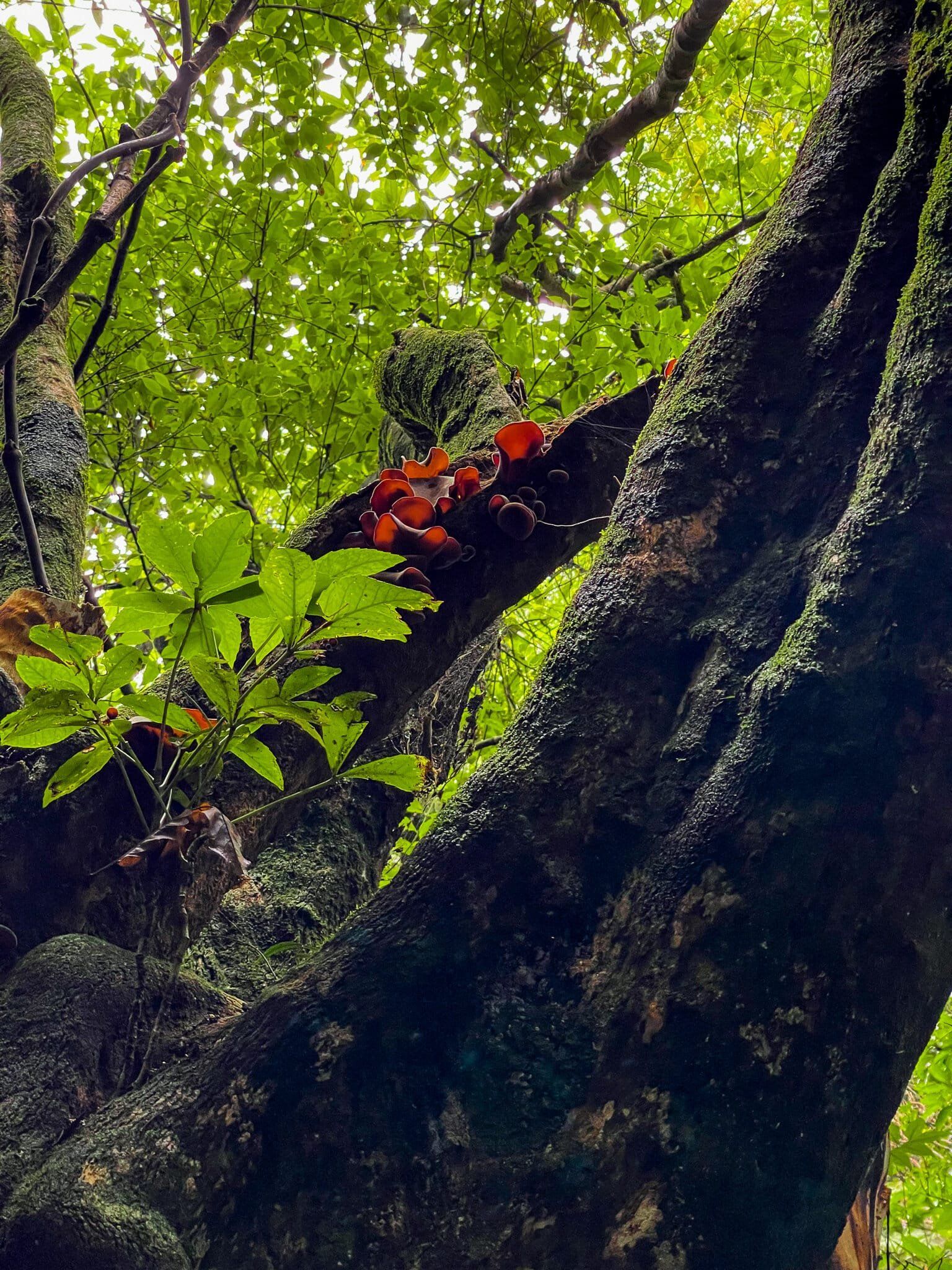
The track begins with a steeply sloped uphill section on a grass path leading to the forest. Once you’ve made it that far, you’ll be rewarded with a sweet little view back towards Waikanae Beach and, heading into the forest, a short flat-ish section crossing a stream. Before too long, the track becomes a single, unrelenting uphill trek, with muddy tree roots standing in for steps. Without boots or poles this section was just north of gruelling, and the idea of trying to go back down the same way was unappealing enough to turn the hike from the planned there-and-back into a full loop. Still, the forest is pretty magical, and moving vertically so quickly really highlights the ecological stratification and the way that particular plants are better adapted to certain microclimates. Though the forest is primarily kohekohe, there are also large puriri, ponga, kawakawa, and a plethora of ferns, as well as an assortment of native birds and fungi.
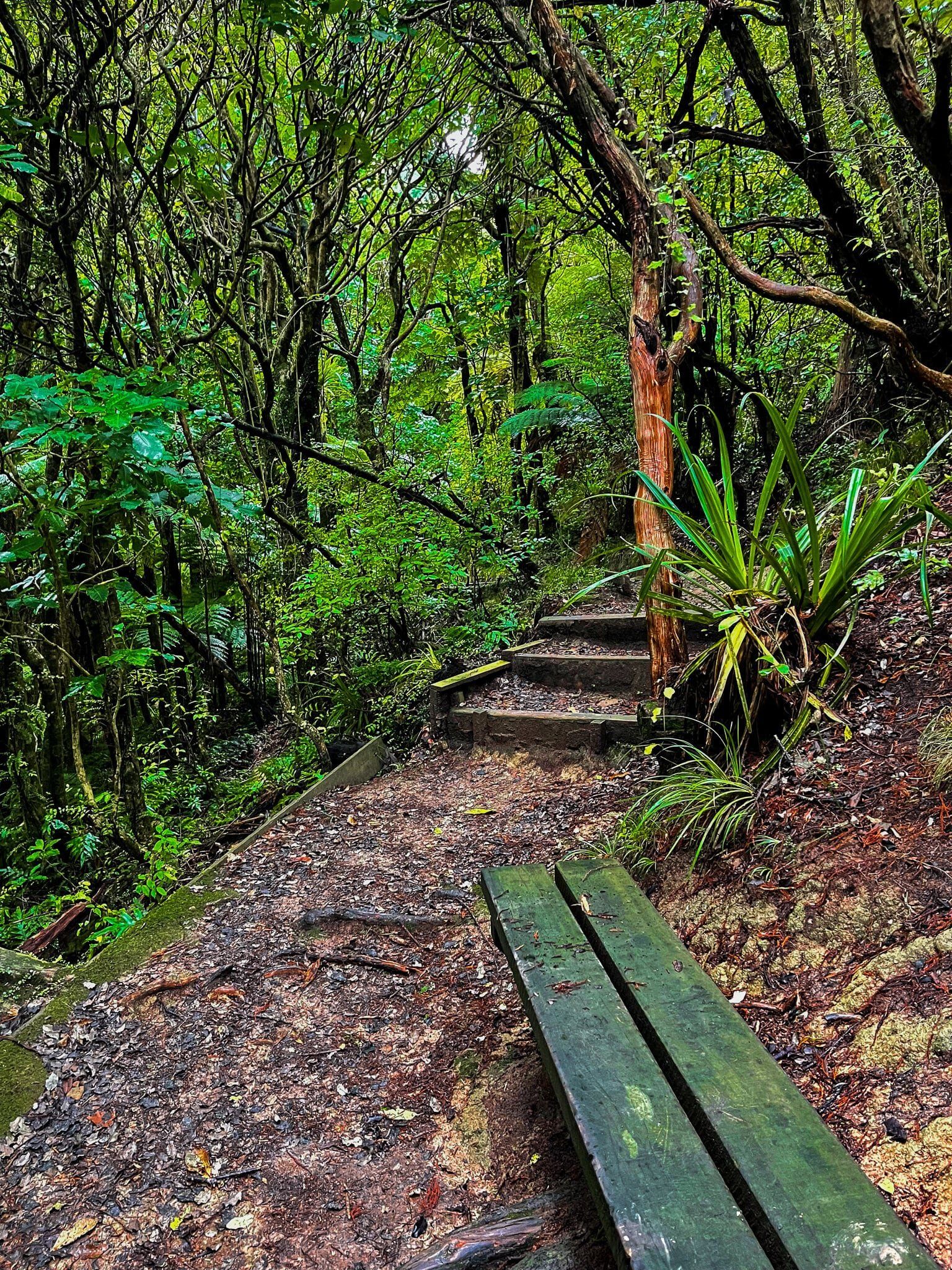
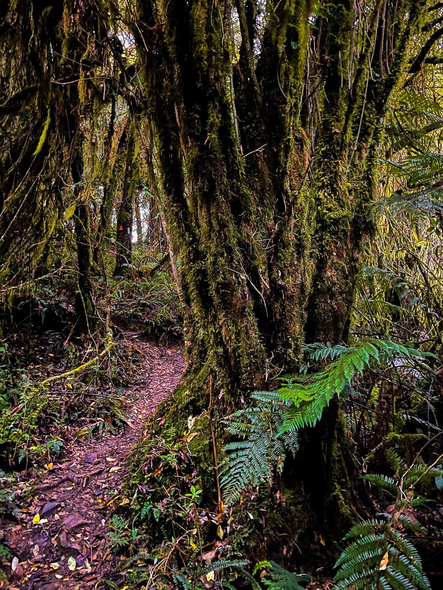
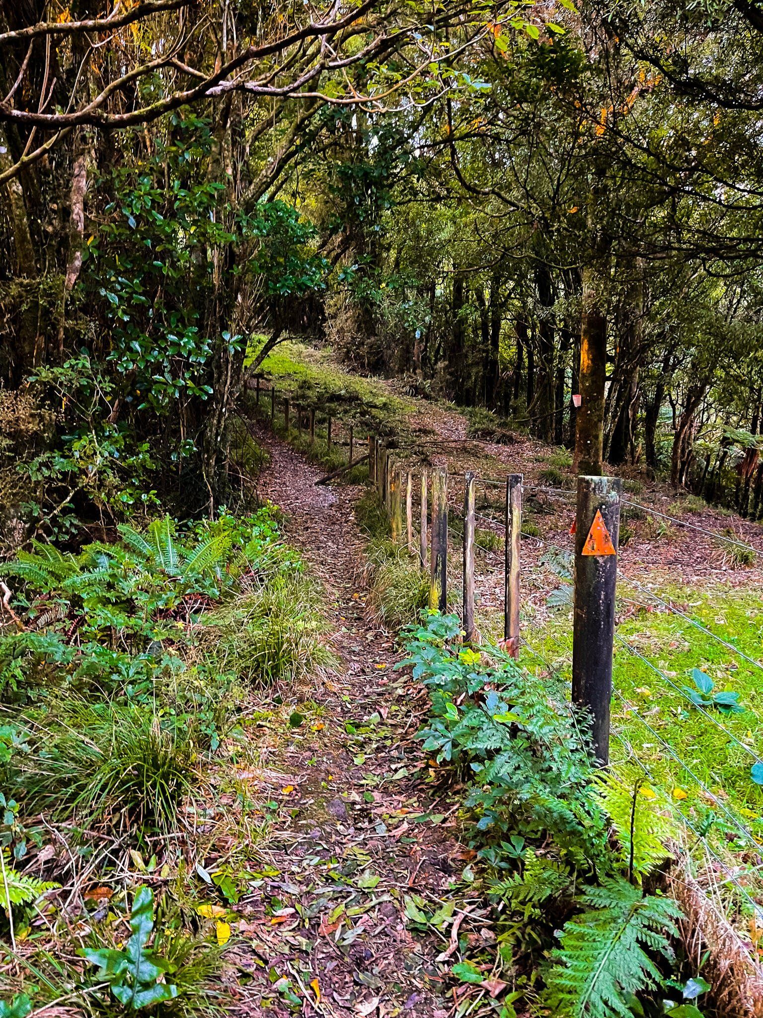
Once you make it to the top of the uphill climb, the rest of the track is pretty much gravy as you follow the ridge line south. In many places it’s not entirely clear where the track is, as other tracks lead off to nowhere, so it’s important to keep an eye out for the track markers and follow them closely (pink and blue markers are used by DOC for pest bait tracks, so make sure you stick to the orange ones). It will be fairly obvious when you reach the high point as trees clear away and you will be able to see the sky for the first time since you entered the forest. Follow the short diversion to the clearing and “bench” marking it, then head back the same way and off to the right to continue towards the Parata Track.
Overall, this is a very challenging track and best avoided in wet weather due to the tracks proclivity towards mud, but it is equally rewarding in terms of flora, fauna, and fungi.
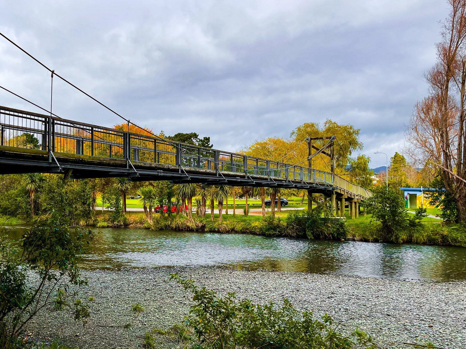
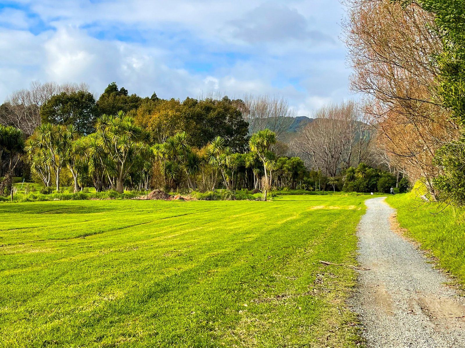
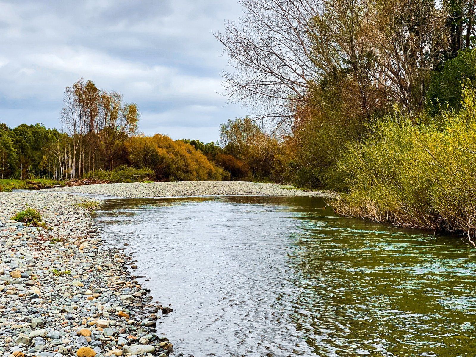
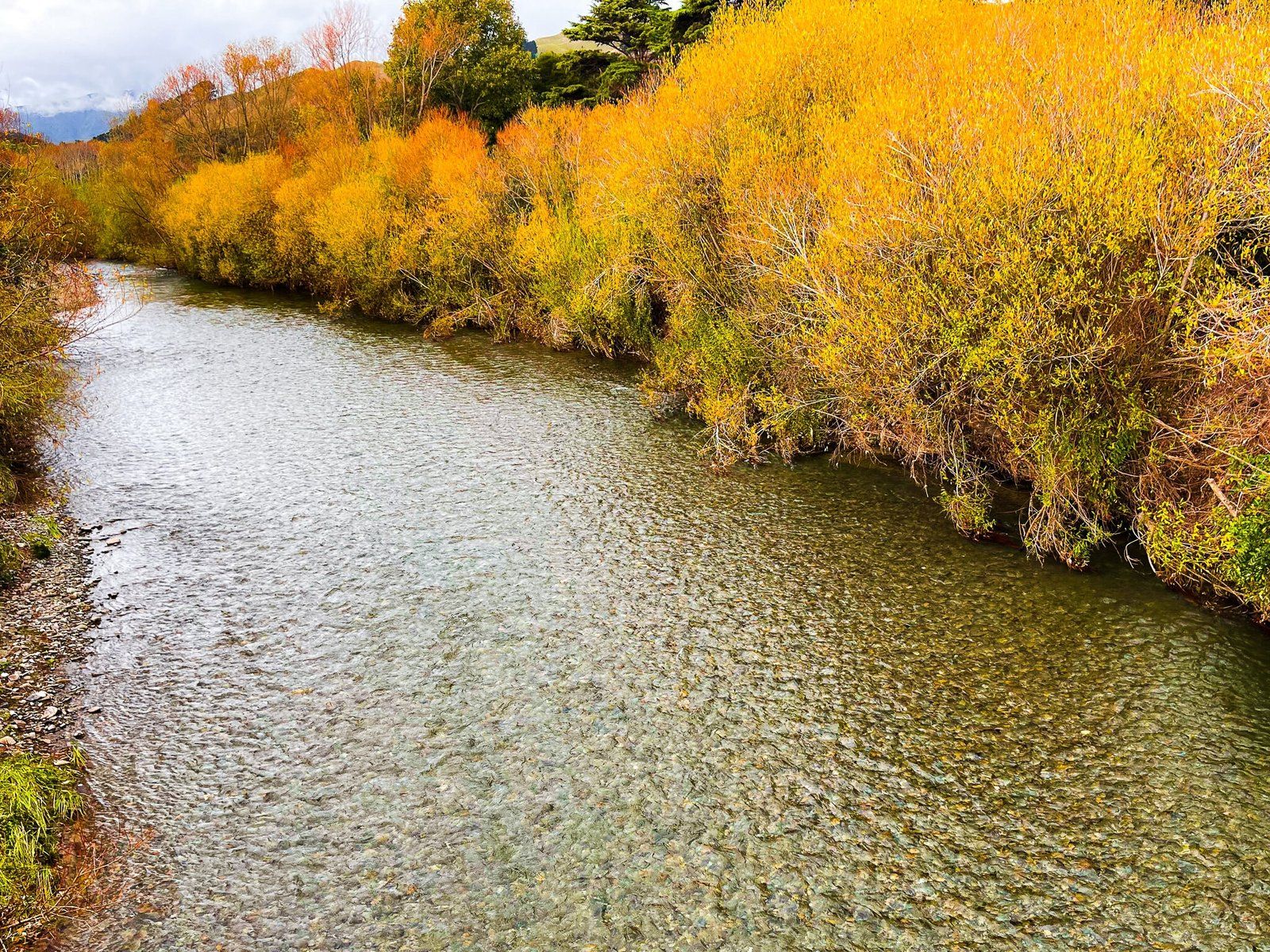
Waikanae River Track
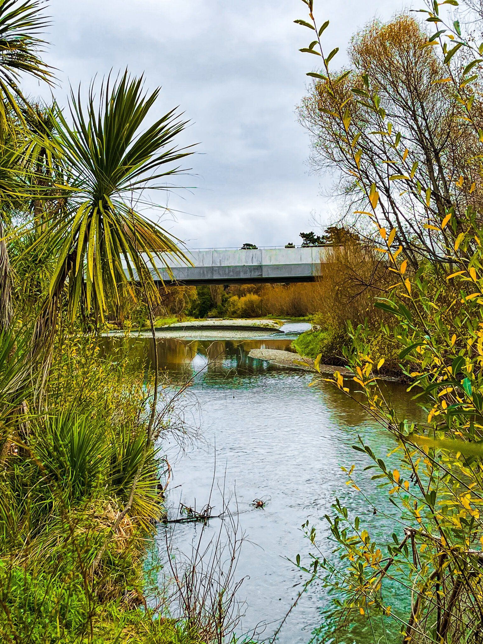
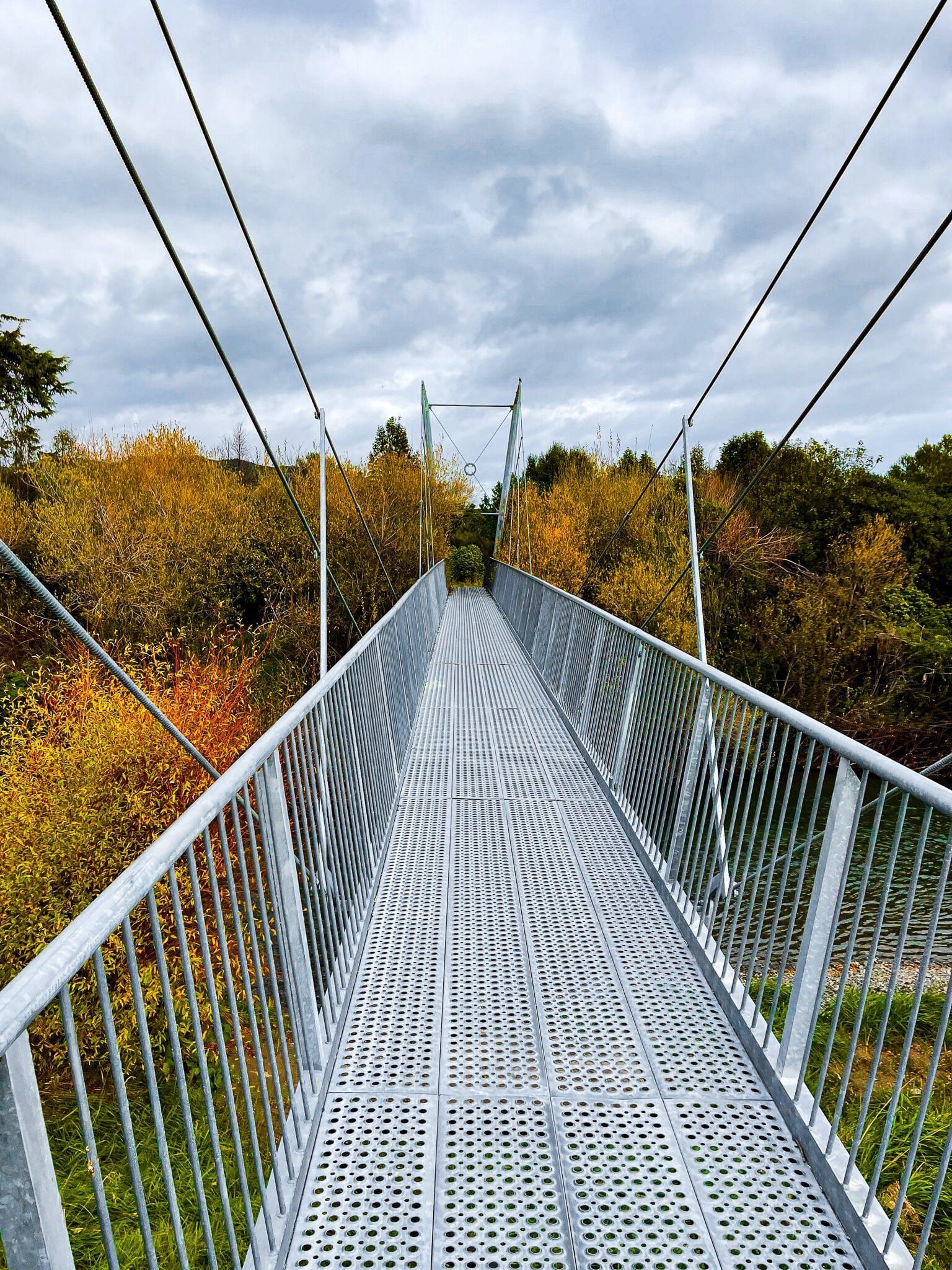
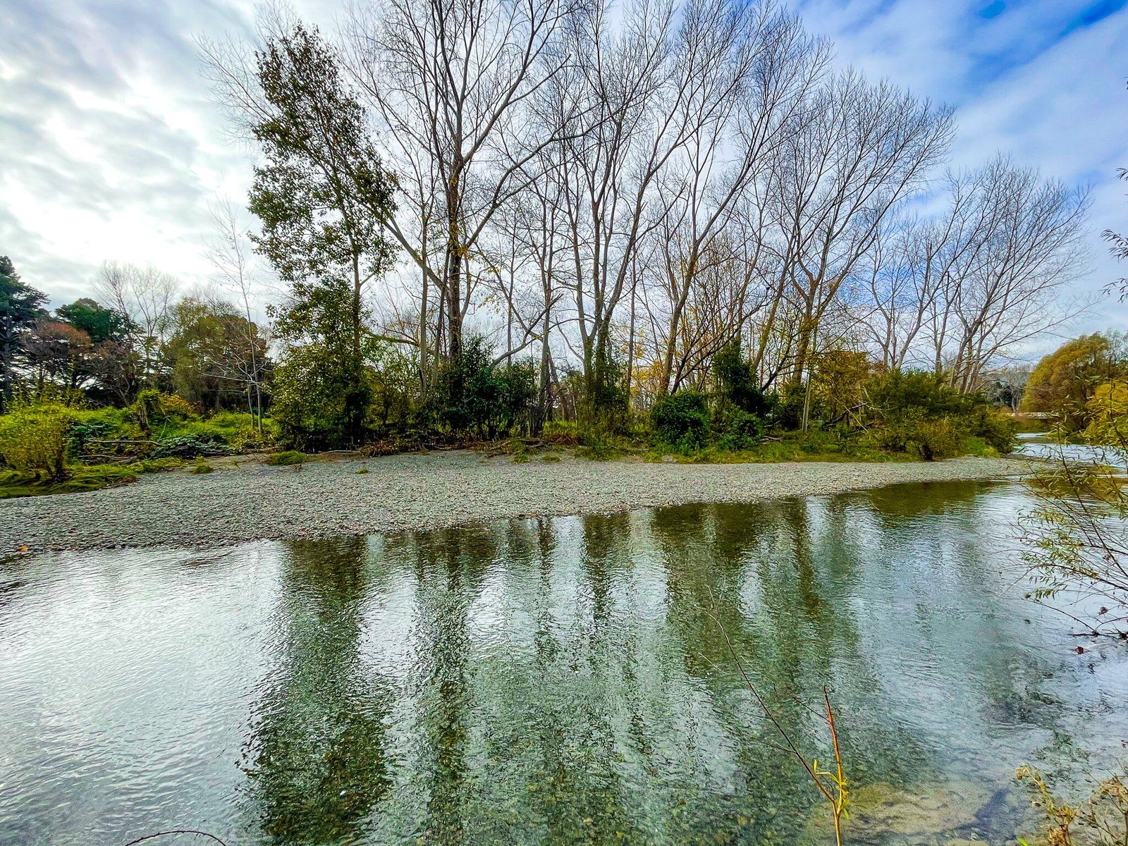
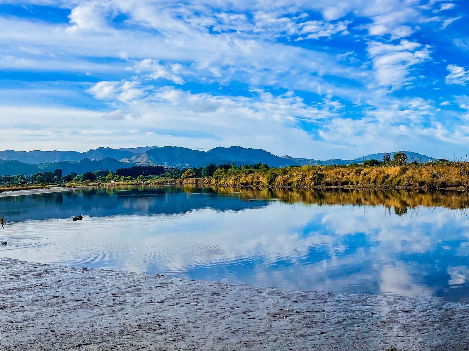
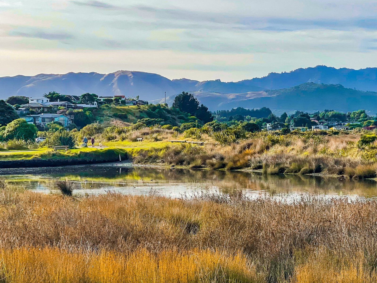
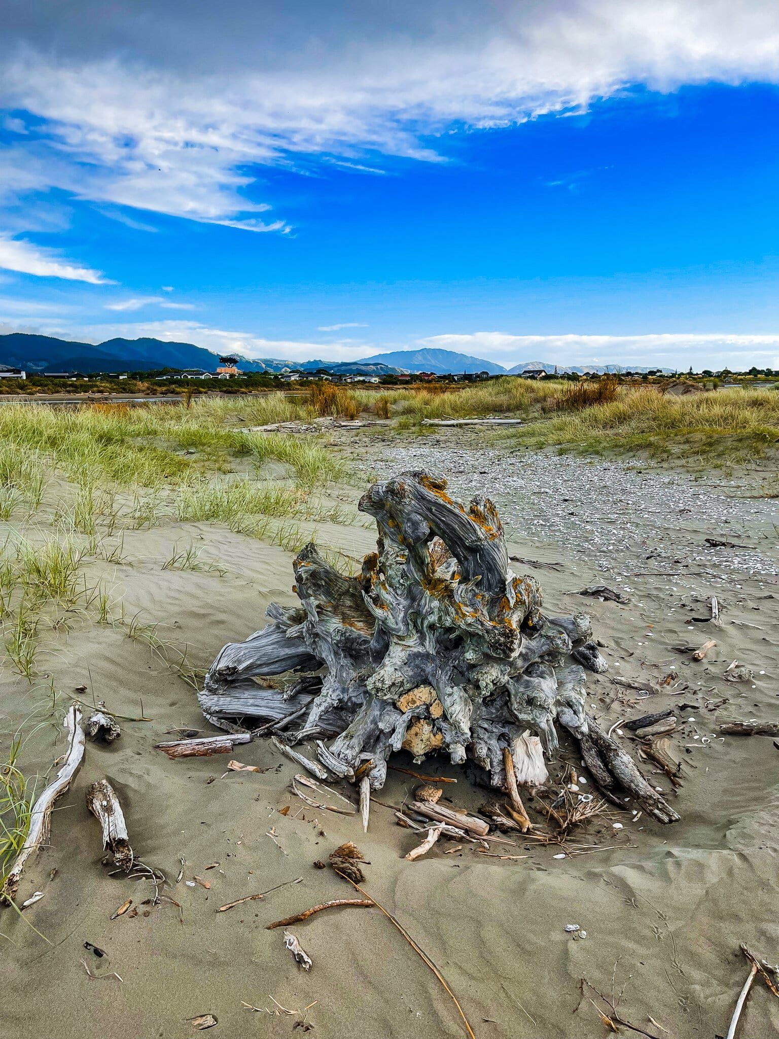
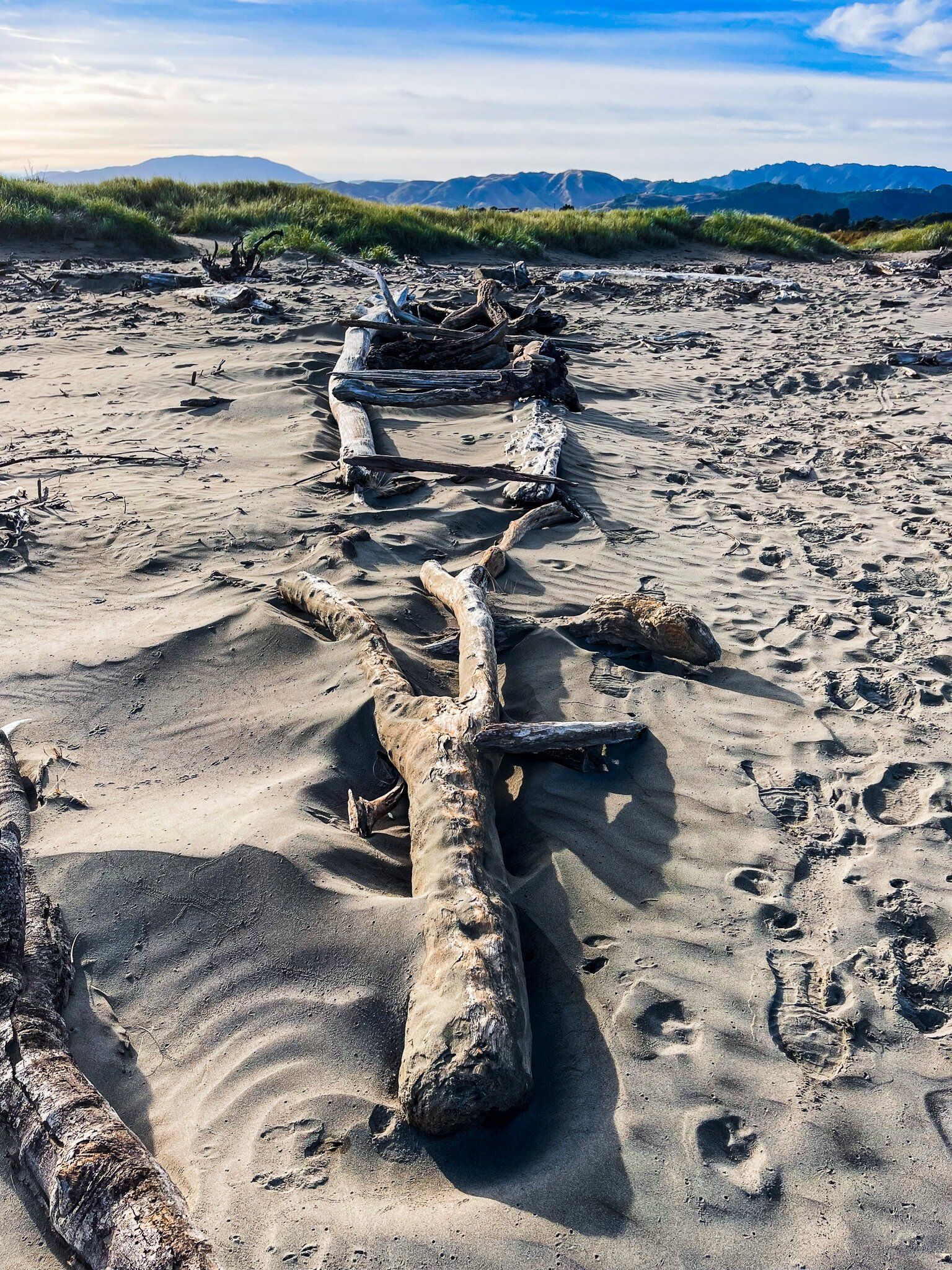
From the Waikanae township, it’s a short walk down Main Road to access the shared walking and cycling Waikanae River Track, or park at one of the entrances signposted off Te Moana Drive. The track runs down both sides of the river, all the way to the river mouth between Waikanae Beach and Paraparaumu Beach. Allow a little over an hour to get to the sandspit on the north side of the river, marked by a freedom campsite. It will take a bit longer to get to the Waikanae Scientific Reserve on the south side of the river, then another 15 minutes or so to the river mouth and Paraparaumu Beach.
About halfway along, you will pass under the motorway. On both sides, there is an interesting panel which describes the history of the area.
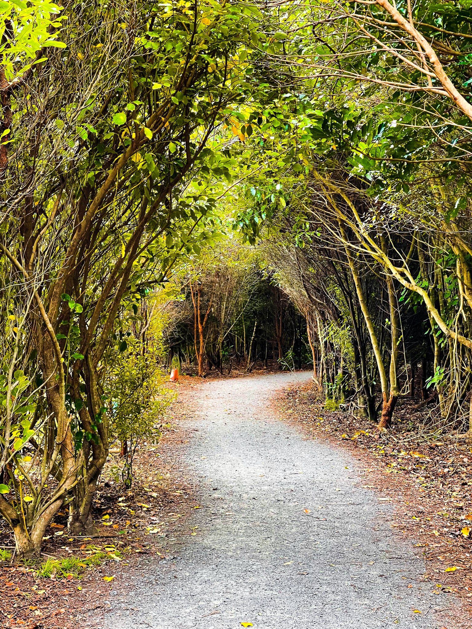
The track is an eclectic mix of native replanting, adjacent grassed parks and playing fields, some farmland and mature exotic trees and wildflowers. There are a couple of bridges so you can change sides, plus some waterholes for warm weather swimming.
The track is also a section of Te Araroa.
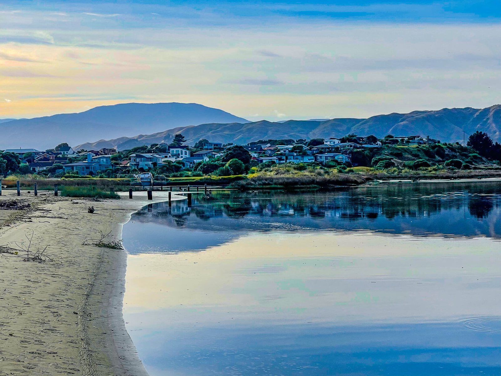
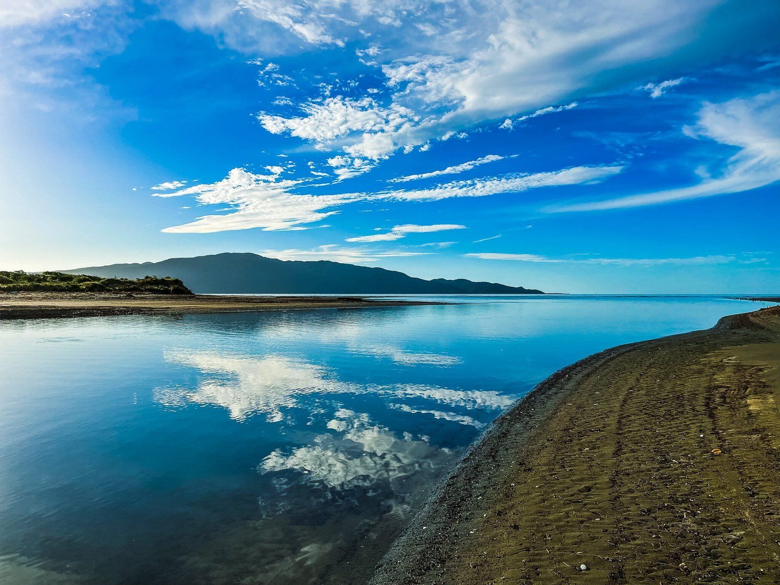
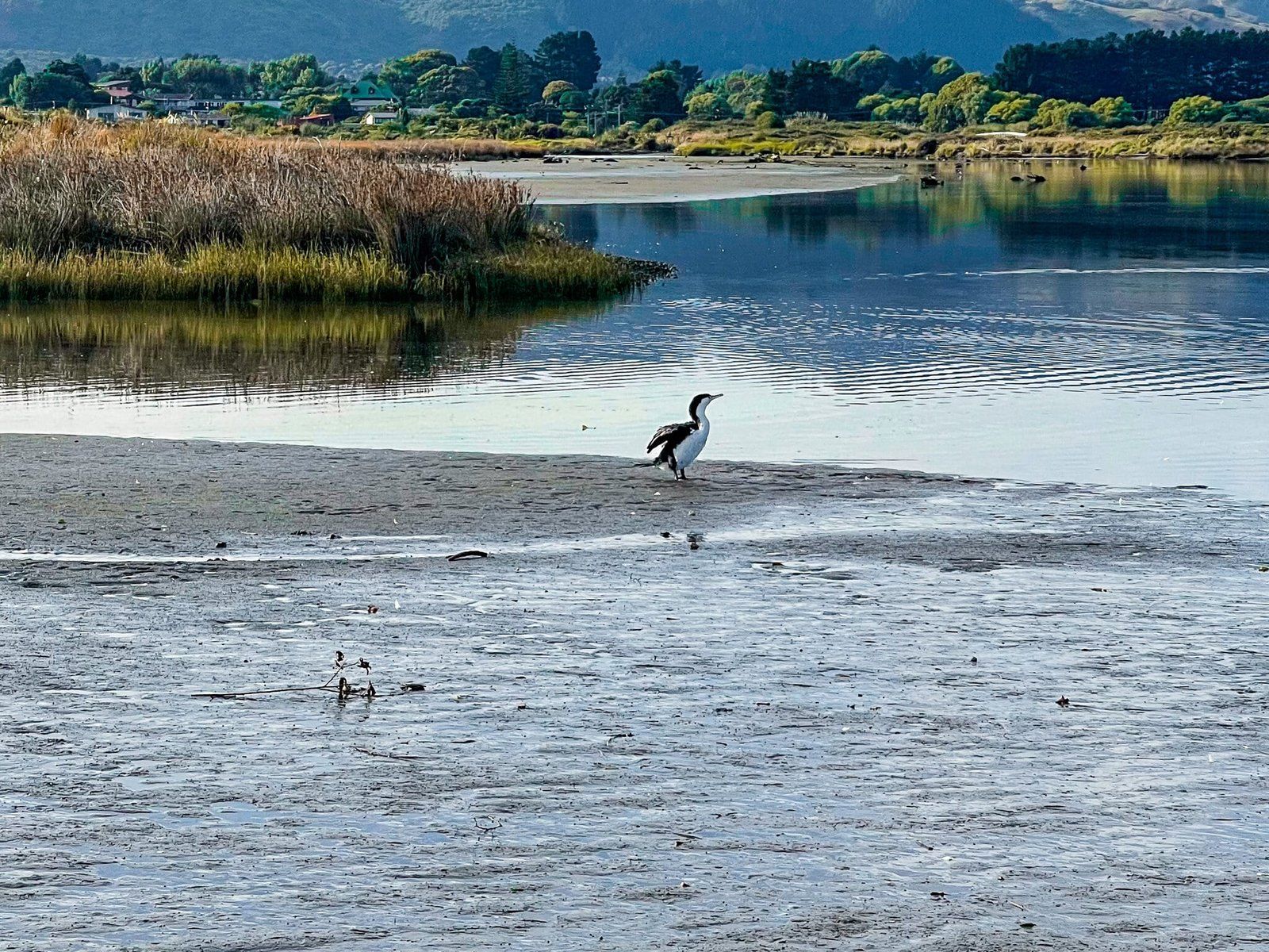
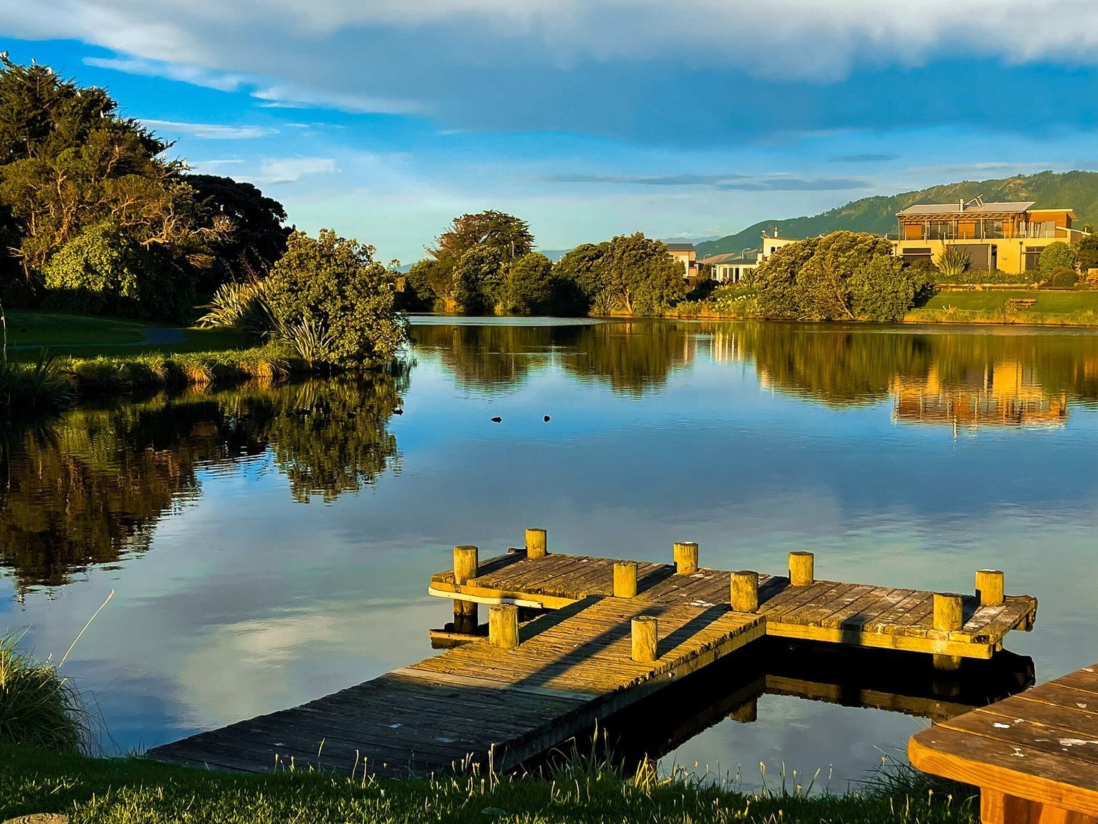
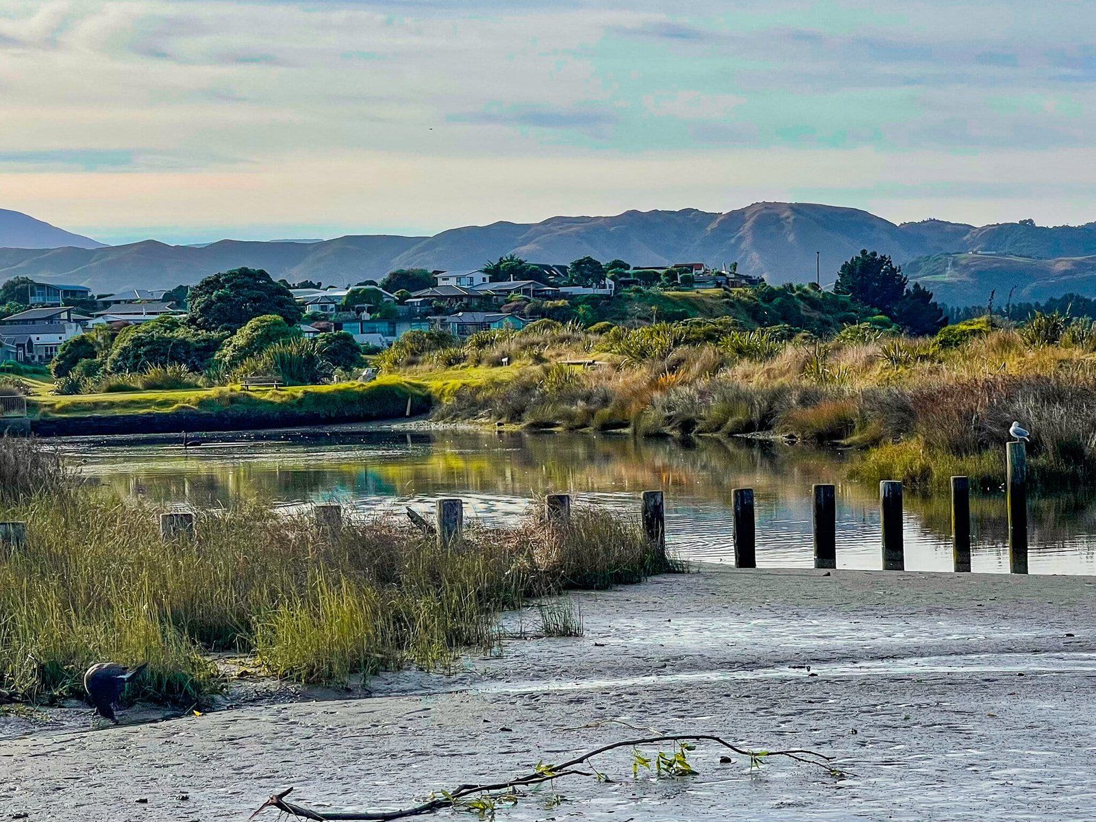
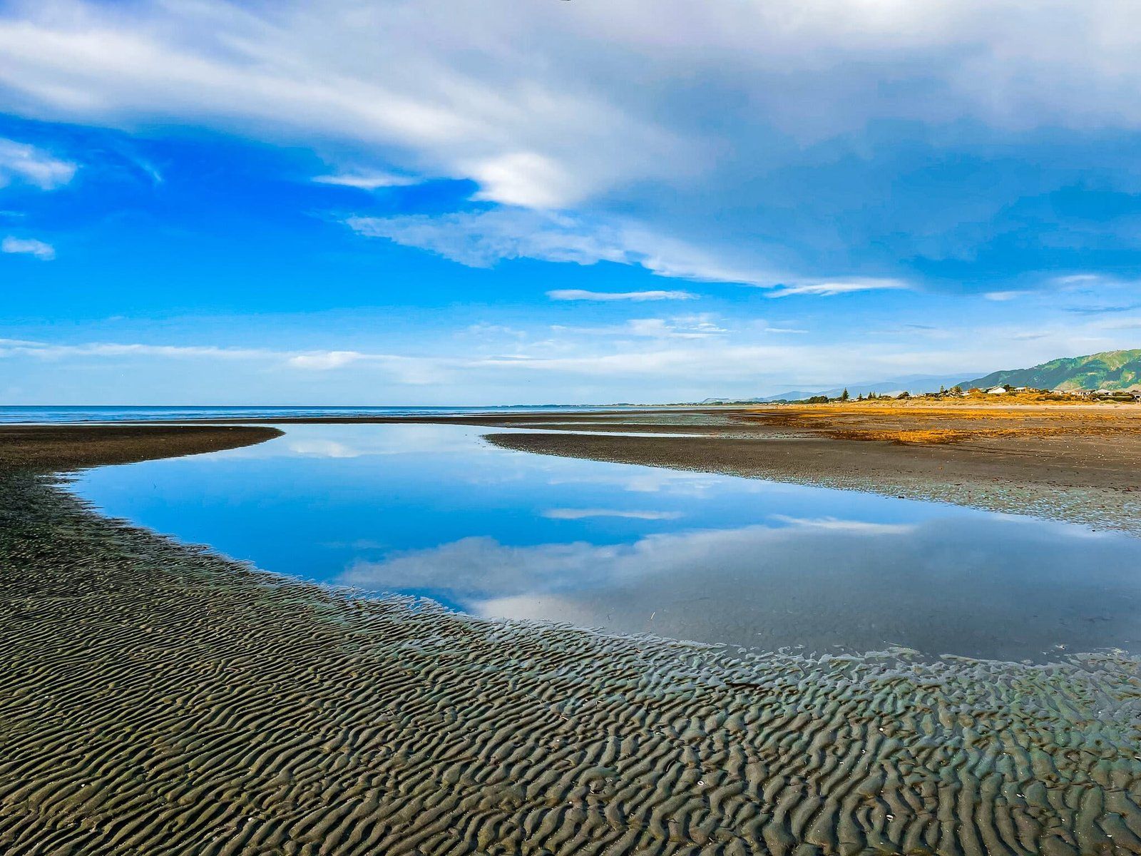
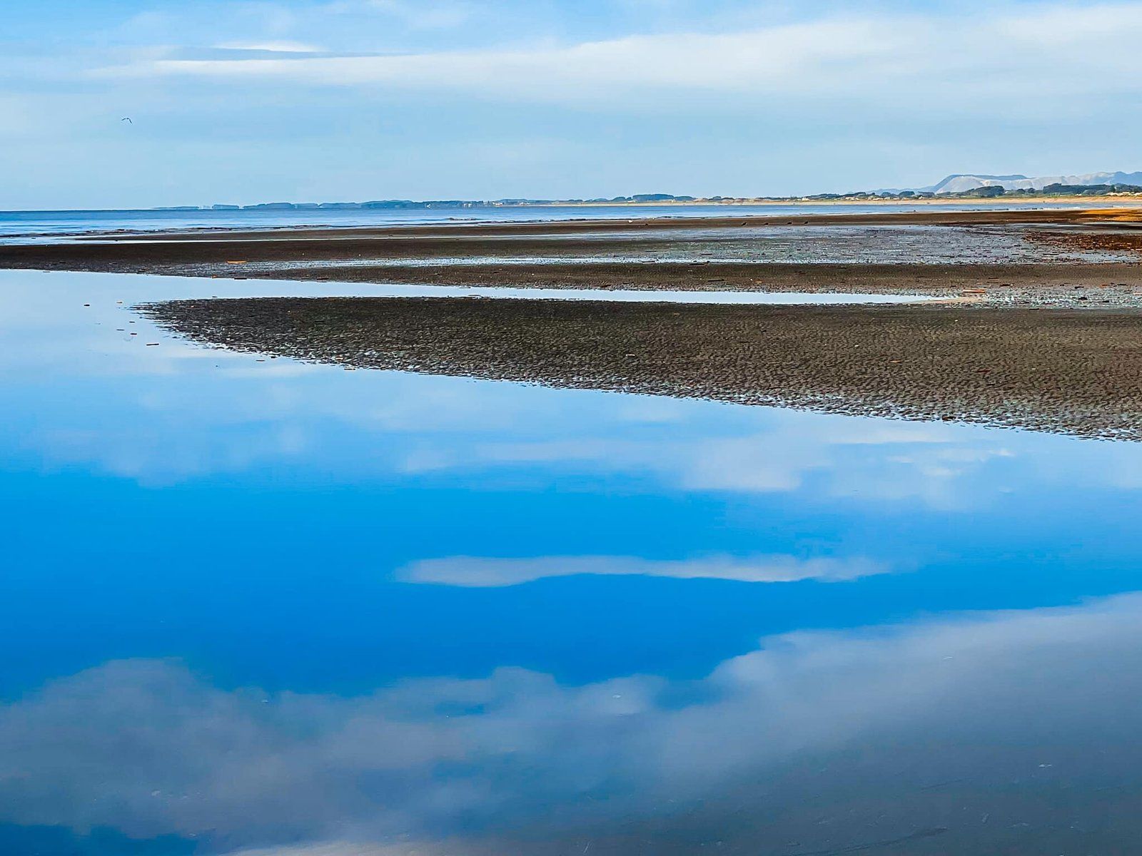
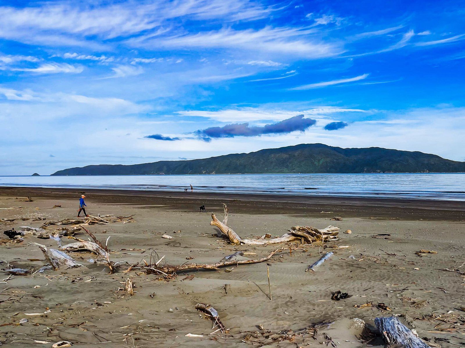
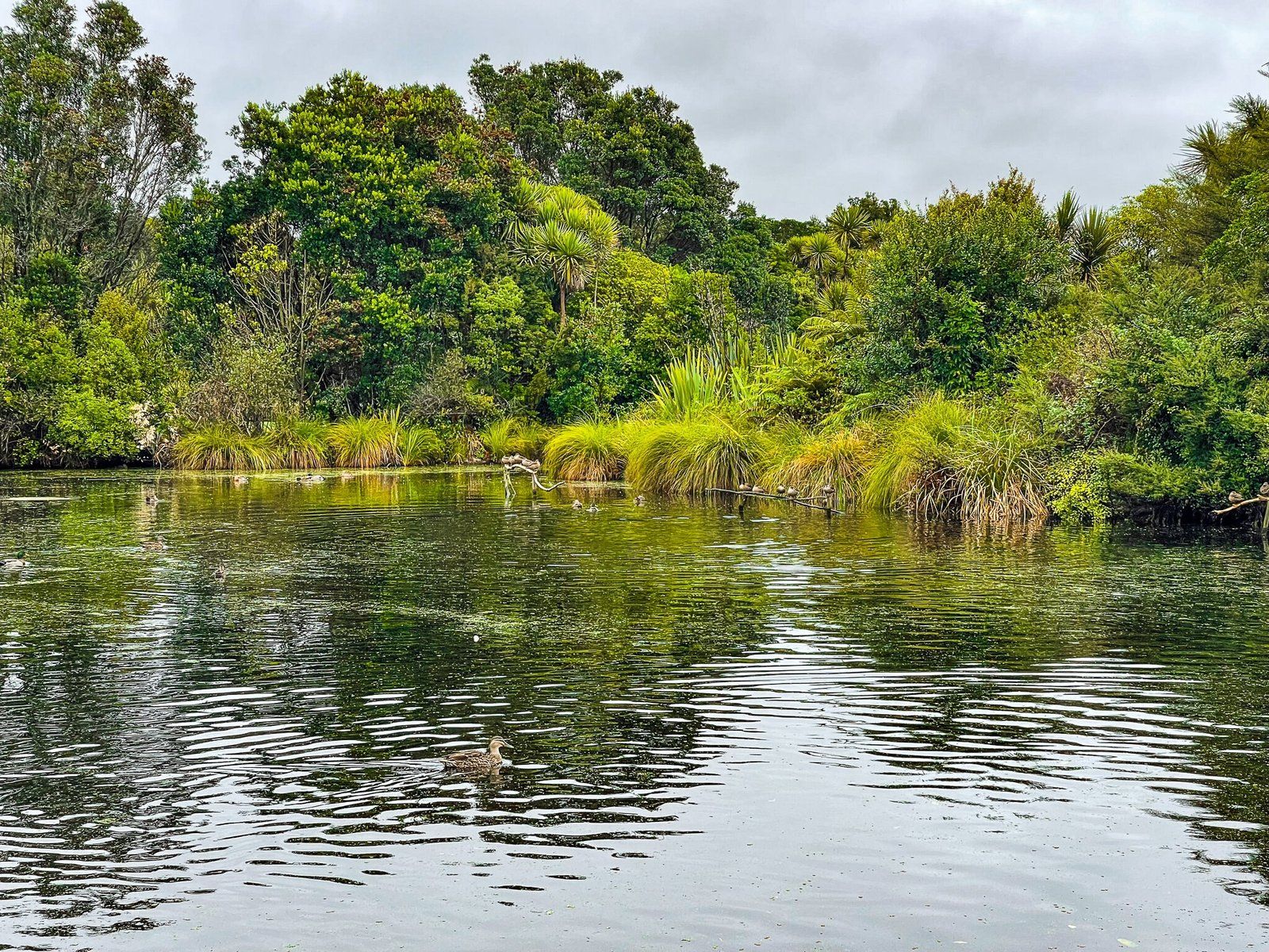
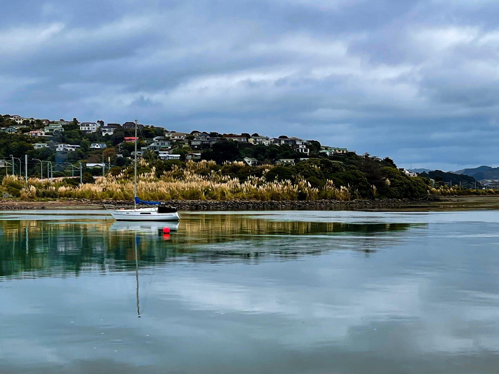
Waikanae Estuary
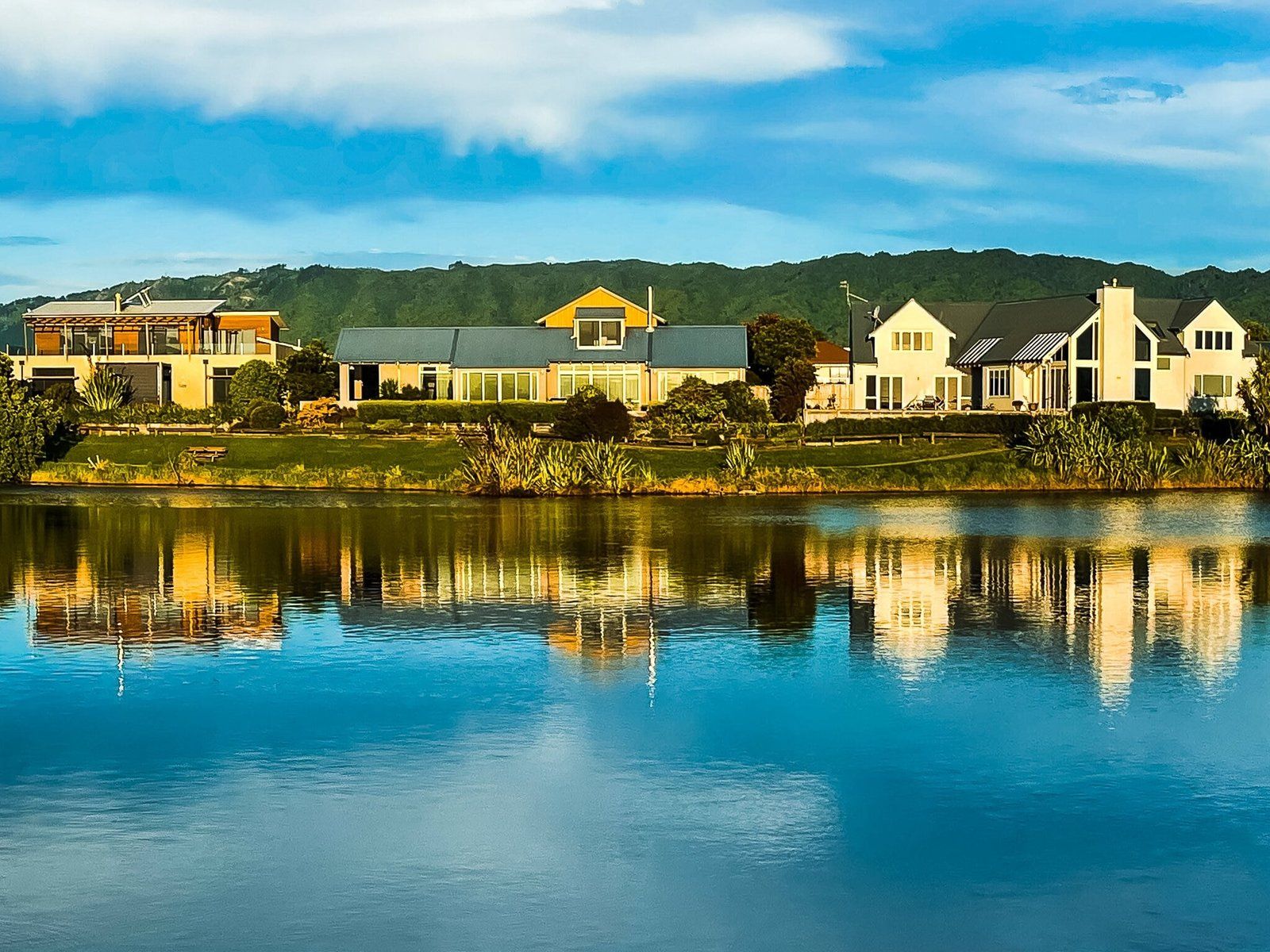
The Waikanae Estuary divides Waikanae from Paraparaumu. Along with the adjacent lagoons (fringed by houses) and sand spit, it forms a major seabird sanctuary. You will see a wide variety of shags and herons, possibly including royal spoonbill kōtuku ngutupapa. The south side is also a protected scientific reserve. Early morning and evenings are probably the best time for bird watching.
You can freedom-camp at the end of Tutere St and immediately before access to the sandspit and low lying dunes. From there, it’s also only a few minutes walk to the south end of Waikanae Beach.
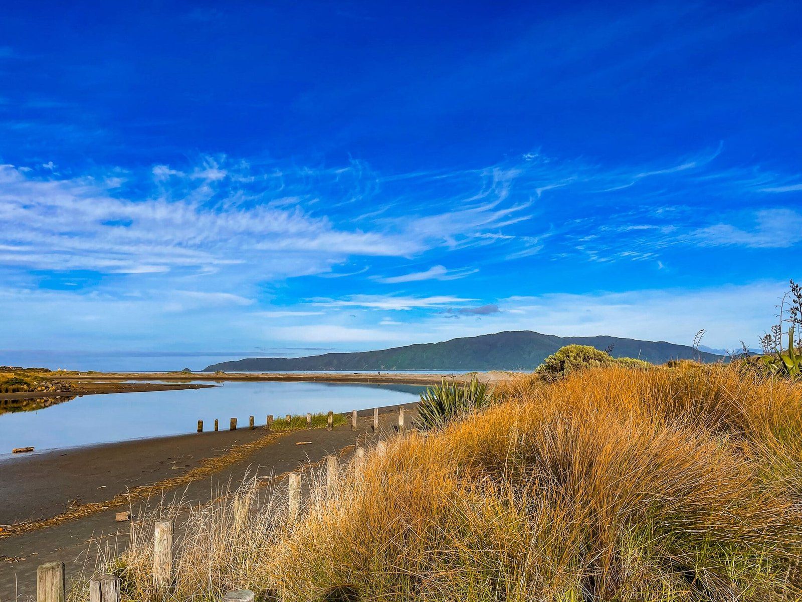
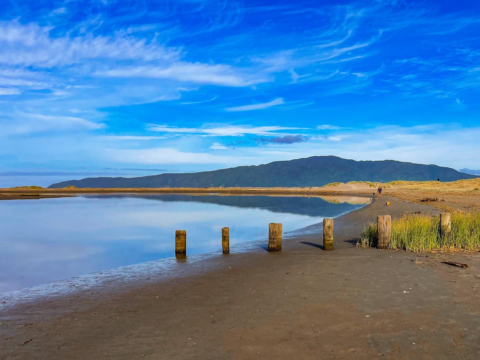
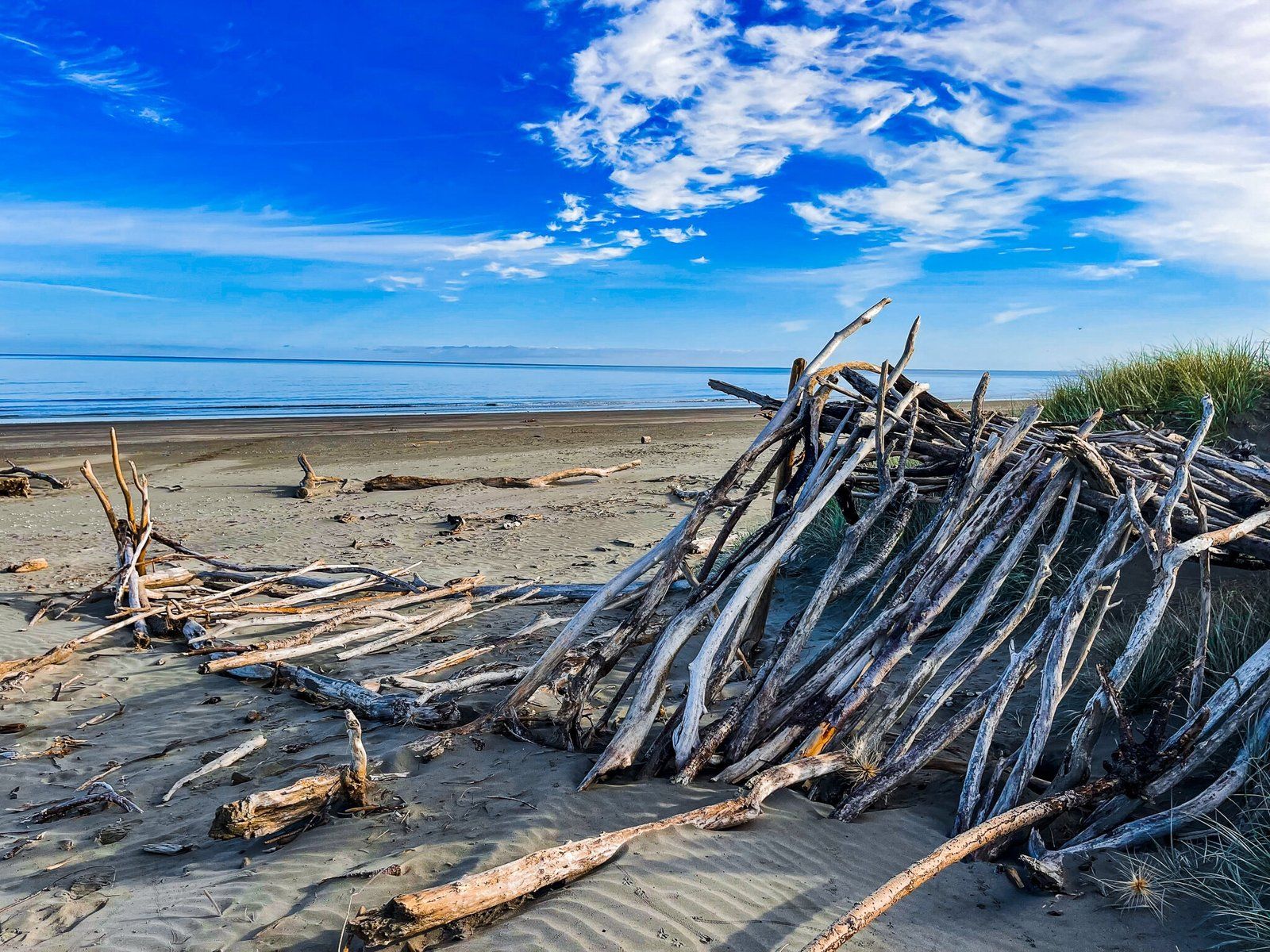
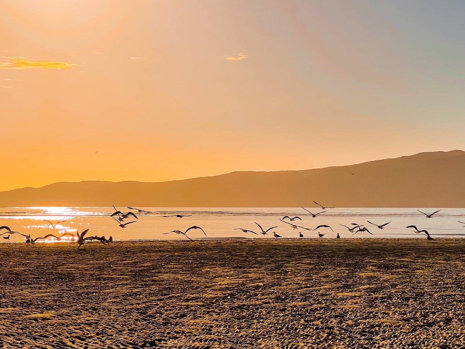
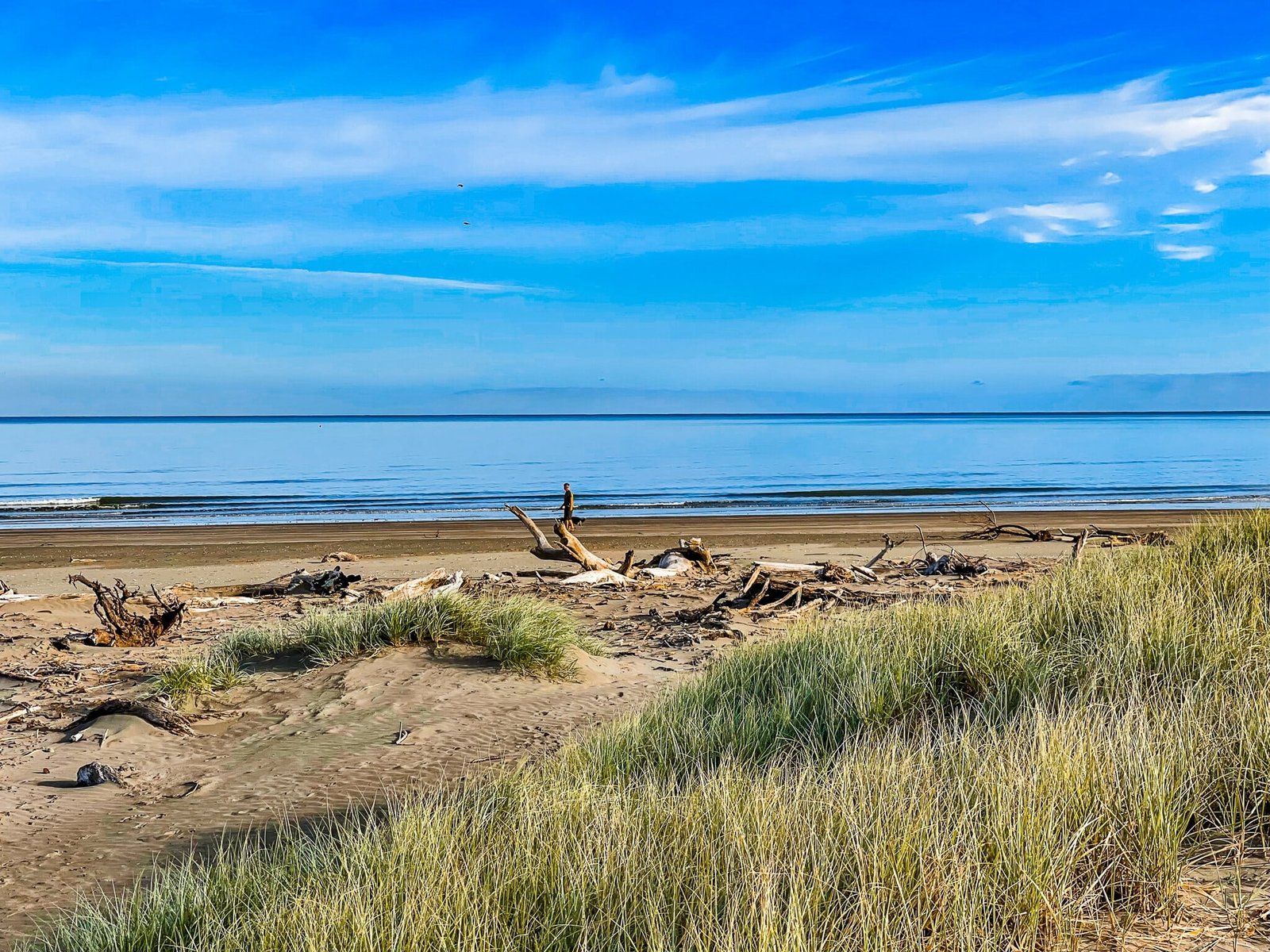
Waikanae Sandspit
The sandspit at the south end of Waikanae beach, and bordering the Waikanae Estuary, has no official name but is quite a large expanse of driftwood-strewn sand. Towards the river mouth, tidal pools attract large groups of seabirds. A perfect spot for golden hour, then sunsets.
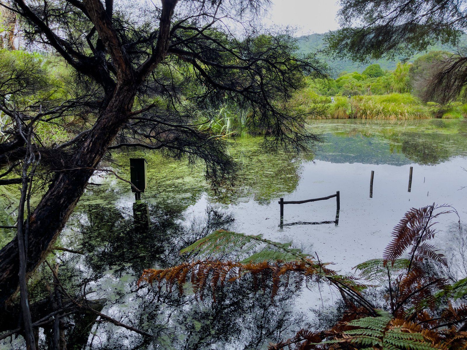
Ngā Manu, Part 1
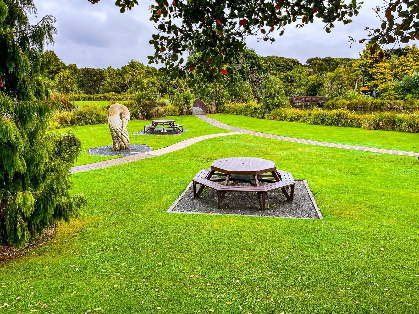
The 14 hectare Ngā Manu Reserve can be found on Ngā Manu Reserve Road, on the northeast side of Waikanae. It has been operated as a charitable trust since the 1970s to preserve native flora and fauna, and to provide related education services. It is one of the largest remnants of coastal lowland swamp forest on the Kāpiti Coast.
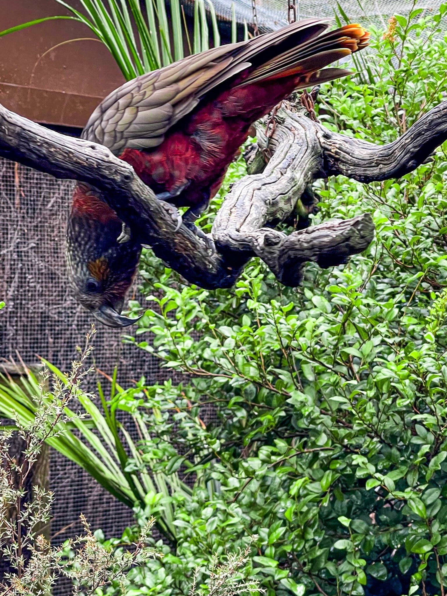
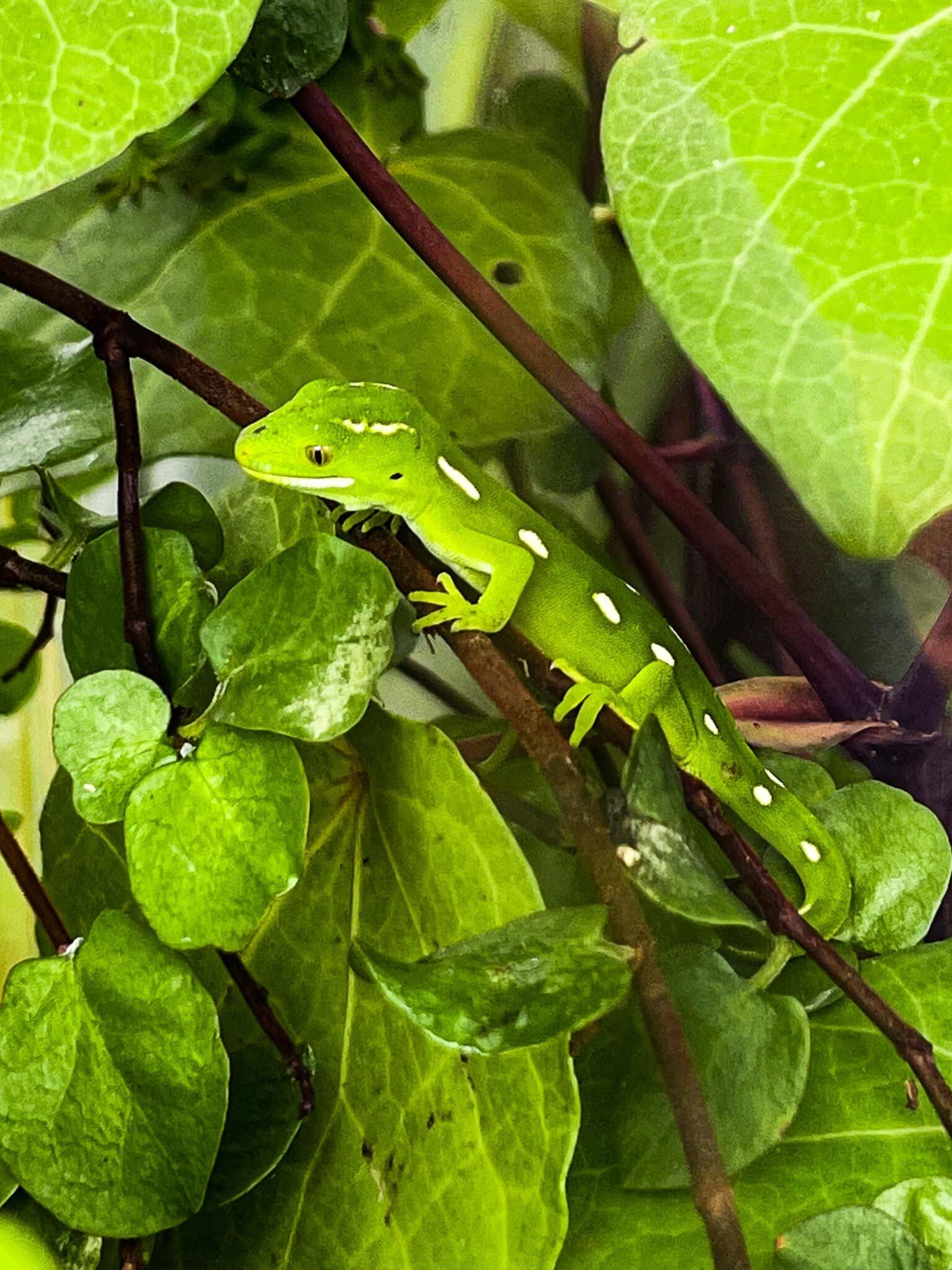
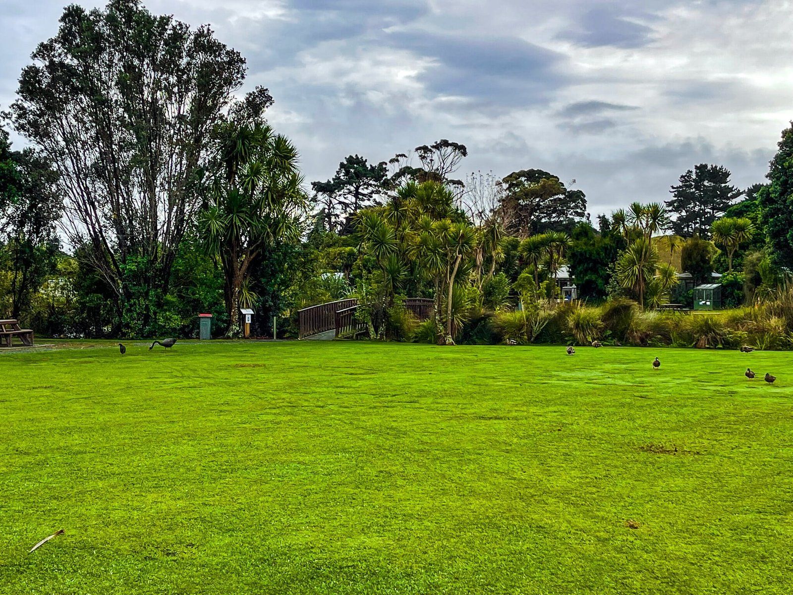
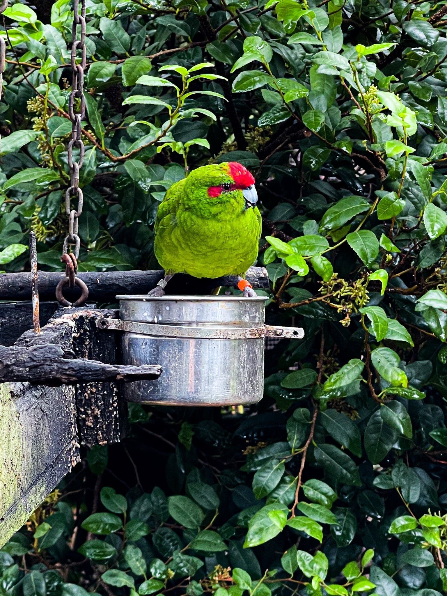
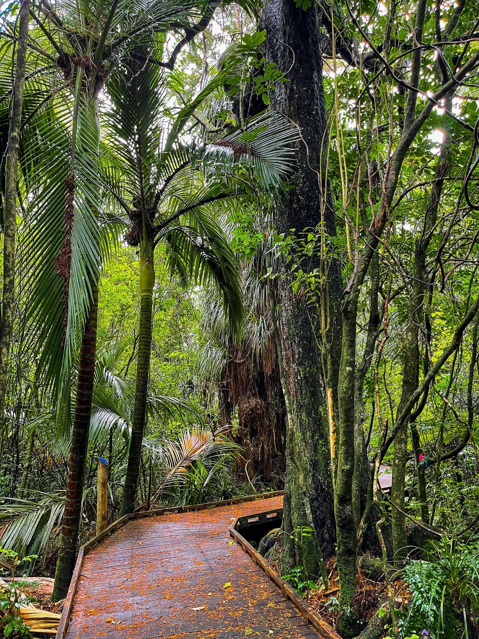
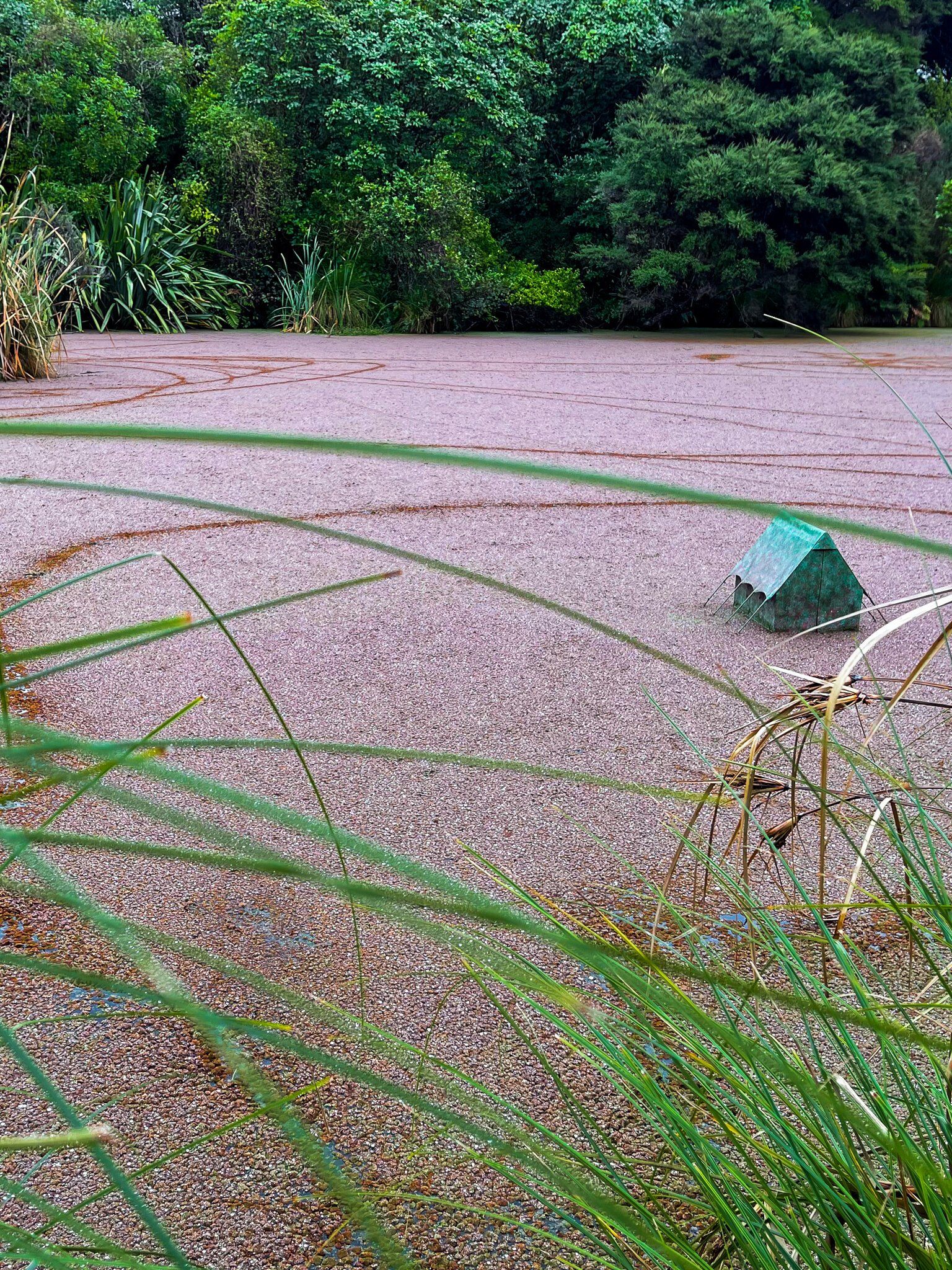
When you first arrive, the reserve feels like a bit of retrograde throwback, best for an outing with the kids. There is a basic access facility and a large grassed area, populated by ducks and some swans, in front of the main lagoon. There are also some walk-in cages for rare native birds, tuatara, and a variety of rare native skinks. But it is only when you start to walk around the connected bush and “island” trails that you really appreciate how special the place is.
Ngā Manu, Part 2
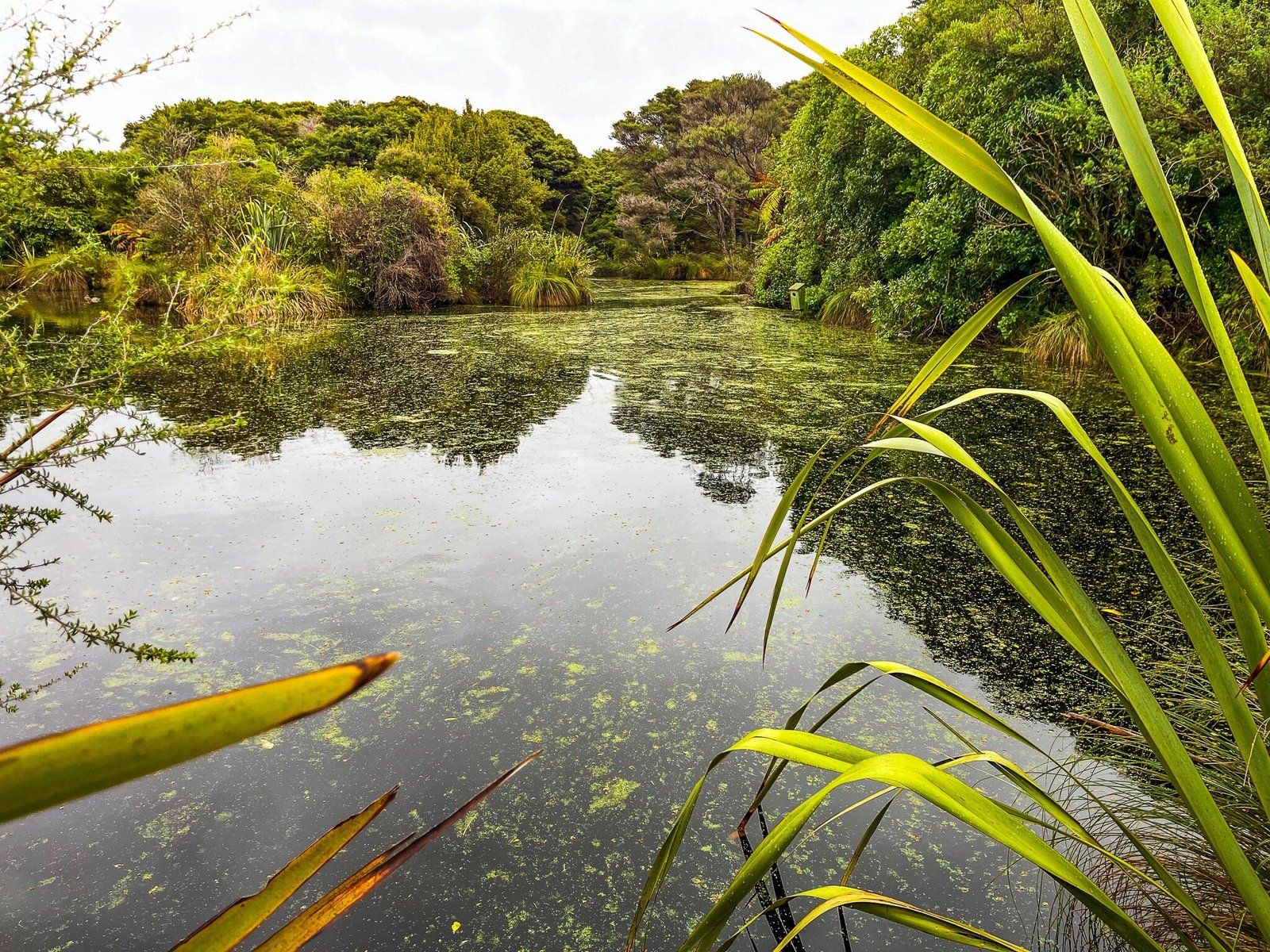
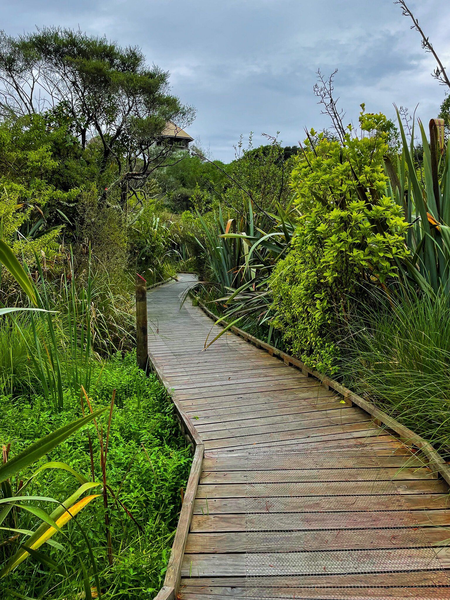
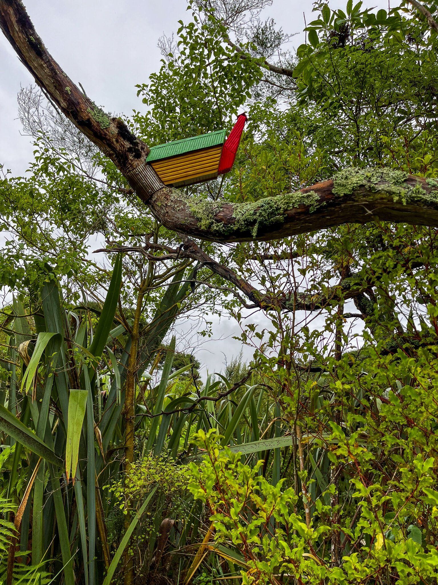
Follow the easy path beyond the grassed areas and into the incredibly pretty wetlands and forest walk, with trees covered in kiekie and other climbers. Some parts are benefiting from substantial replanting of an eclectic range of natives while there are also a number of mature trees on the main forest loop. Keep an eye out for the tower as well, which provides views back over the reserve. Kids will also enjoy the small metal “huts” scattered around the walk.
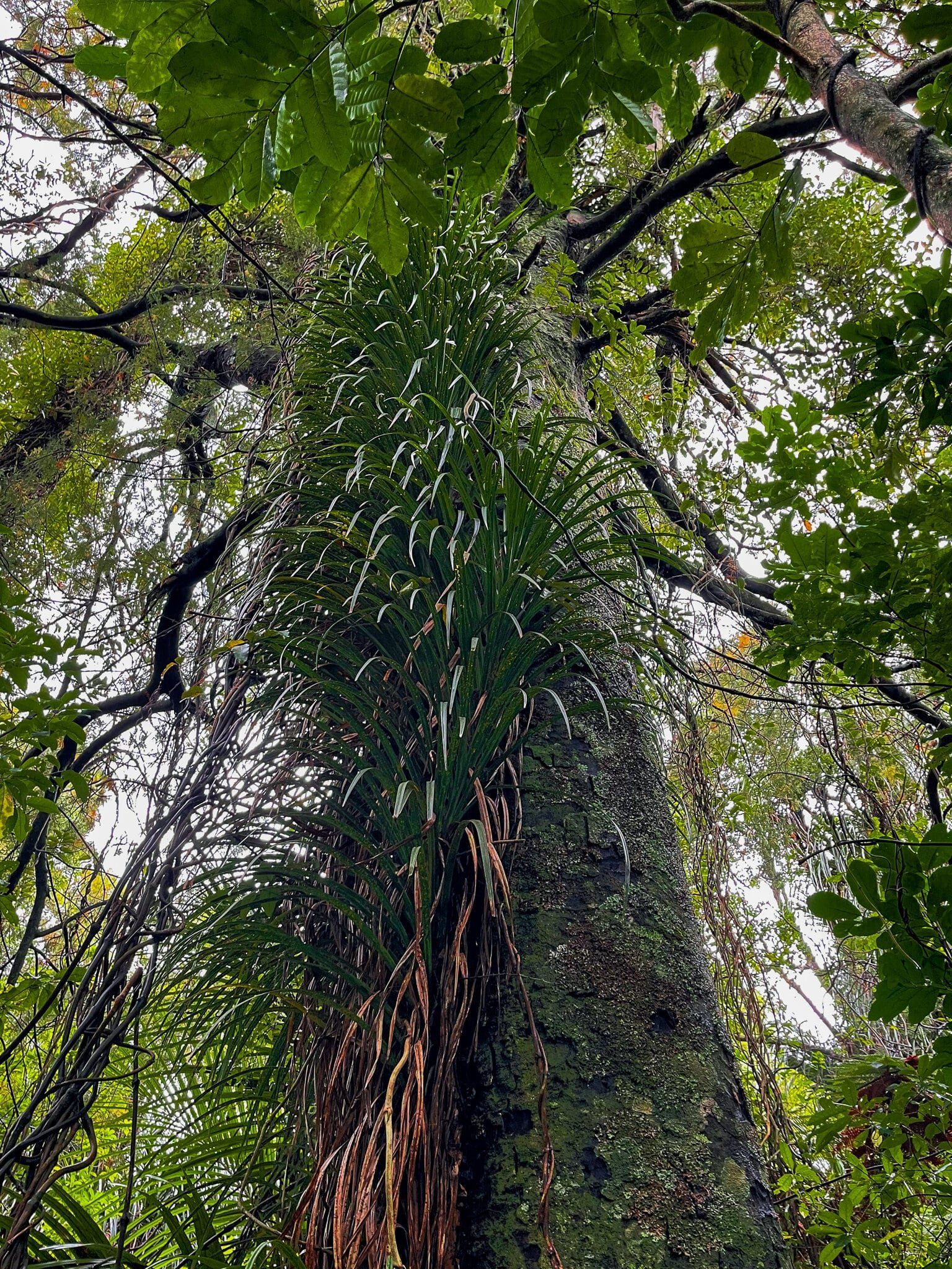
But the thing that makes Ngā Manu particularly interesting are the special conservation projects that are dotted around the walk. Our favourite was the native mistletoe project, where there are a number of clearly marked examples of mistletoe growing on various shrubs. In NZ forests, mistletoe has been largely decimated by possums and is hard to find.
In another corner of the forest is a project to foster te puia o te reinga, also known as wae wae atua. Respectively translated as “flowers of the underworld” and “legs of the god”, the parasitic plant is mostly underground but sprouts flowers above ground in early autumn. The nectar is a favourite food of the tiny NZ native, the short-tailed bat. Introduced mammals, in this case pigs, have decimated the plant in the wild.
Walk onto the small islands to see other examples of rare native plants and a great collection of ferns, all in one place.

Te Ana o Hau
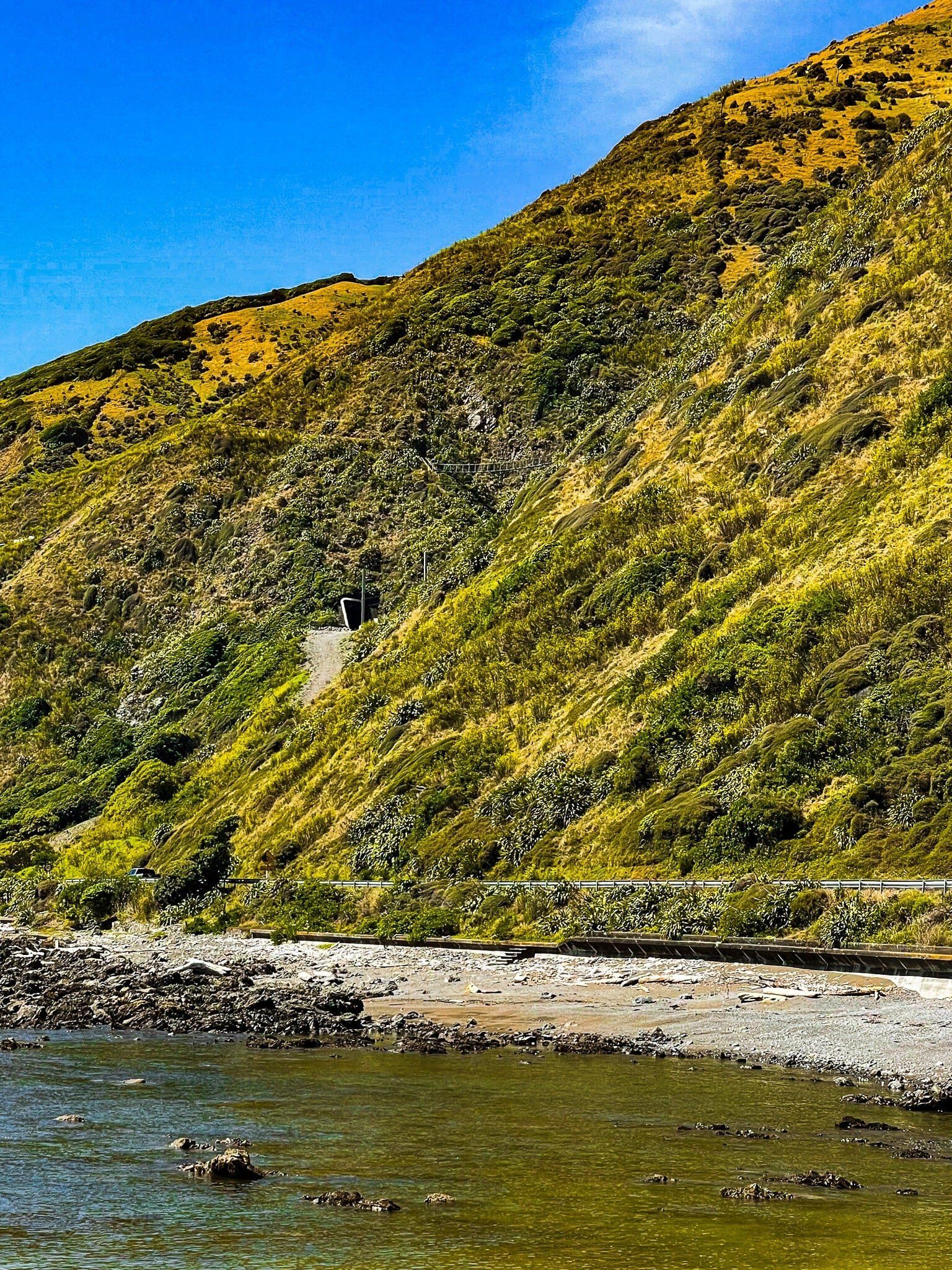
Te Ana O Hau is the rocky section of shoreline along what is now SH59 between Paekakariki and Pukerua Bay. This is now a relaxed coastal drive with some obvious stopping points, including a large parking area just before the road climbs the hill to Pukerua. From there it is a short walk to Pukerua Bay, or back along the coast to Paekakariki. Note that there is no entry to these stops when driving south; they are only accessible from the north-bound lane.
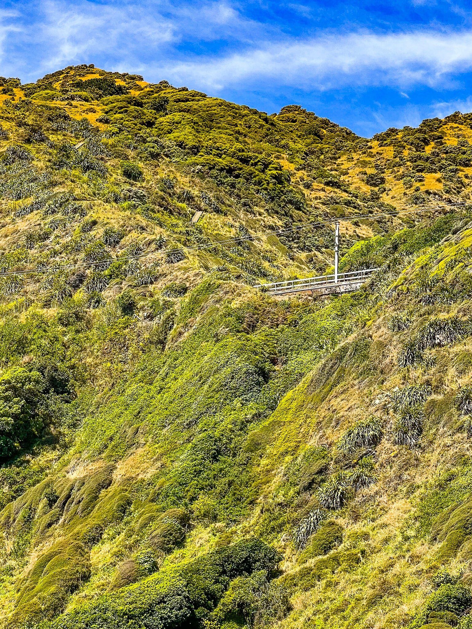
If you look up the hill above the car park, you can pick out one of the swing bridges on the Paekakariki Escarpment Track, which is also a section of Te Araroa.
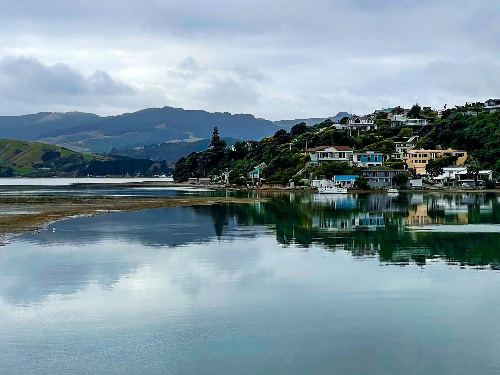
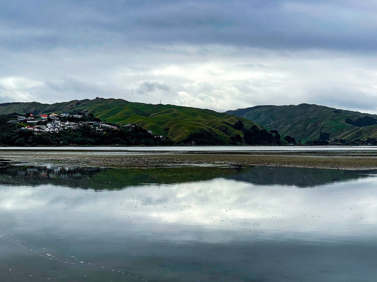
Te Awarua o Porirua
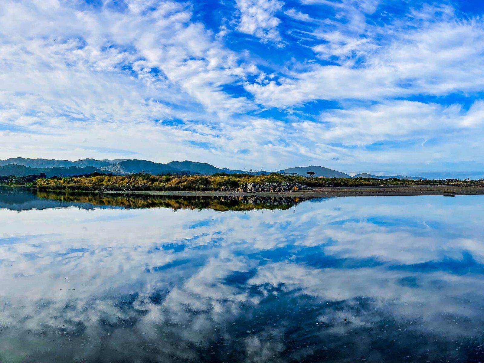
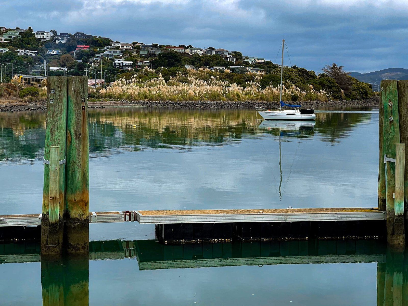
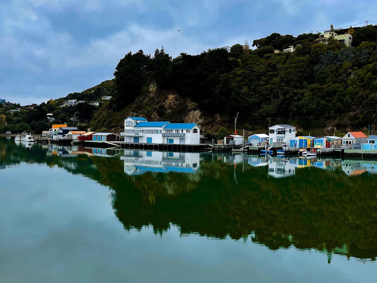
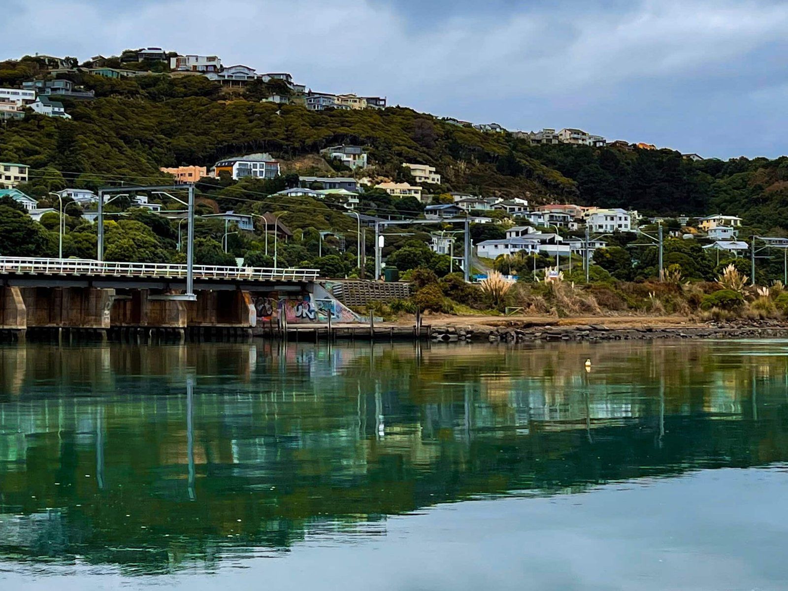
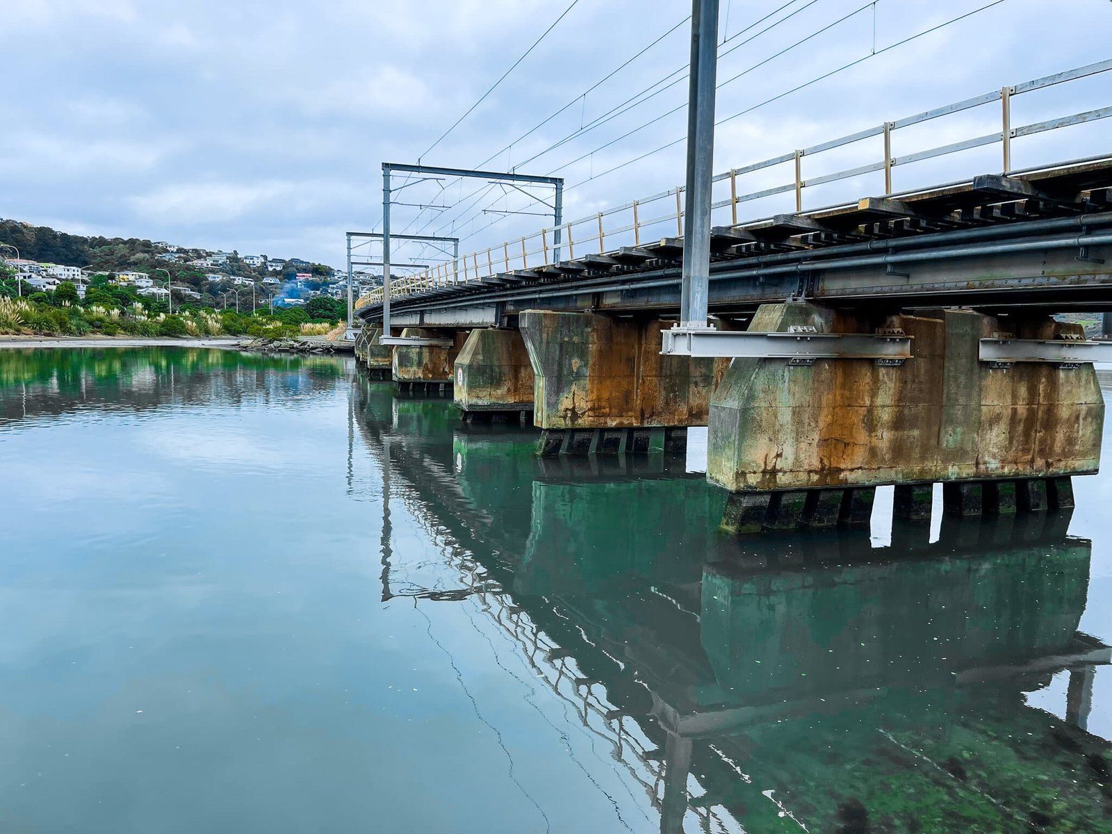
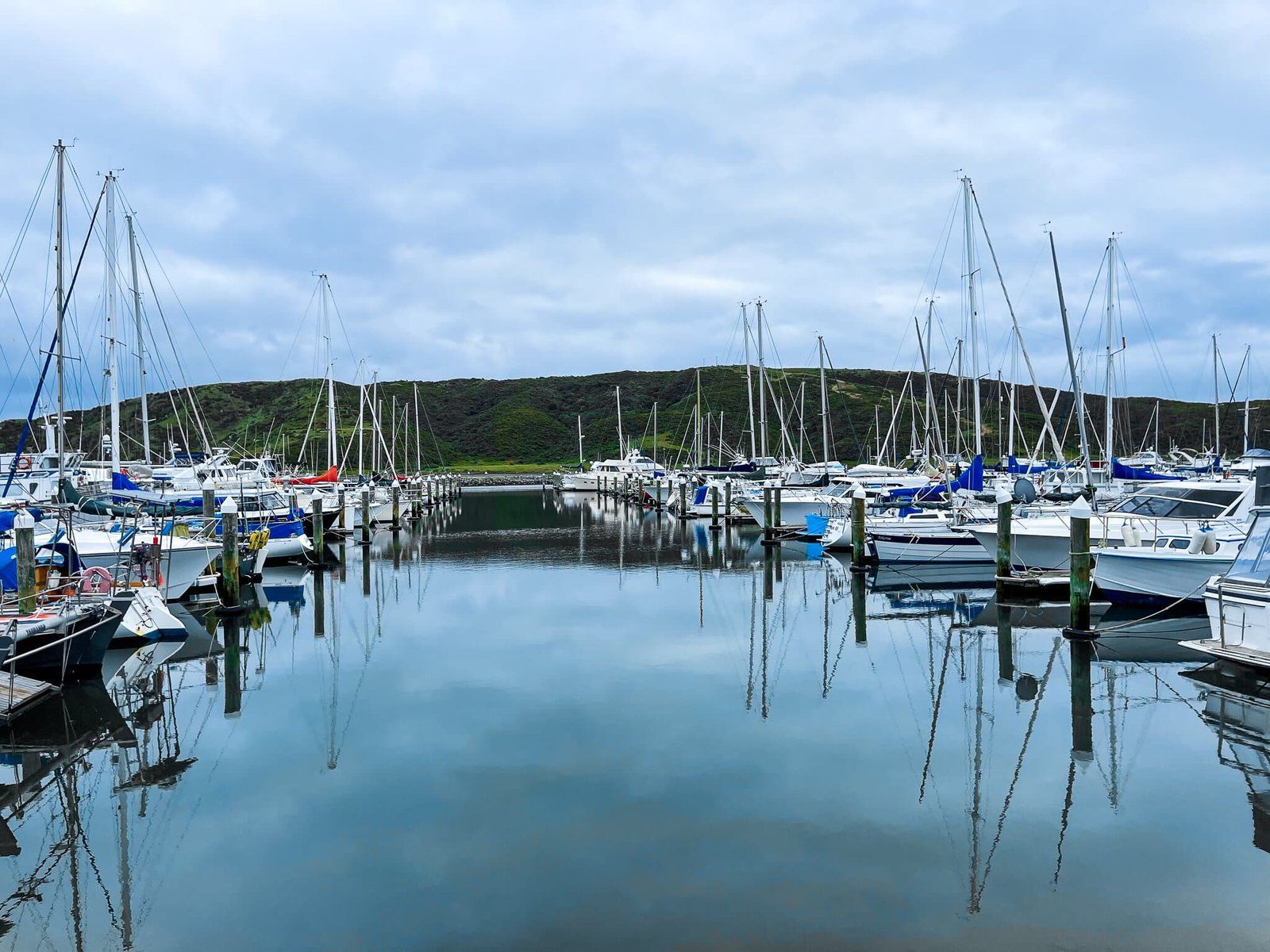
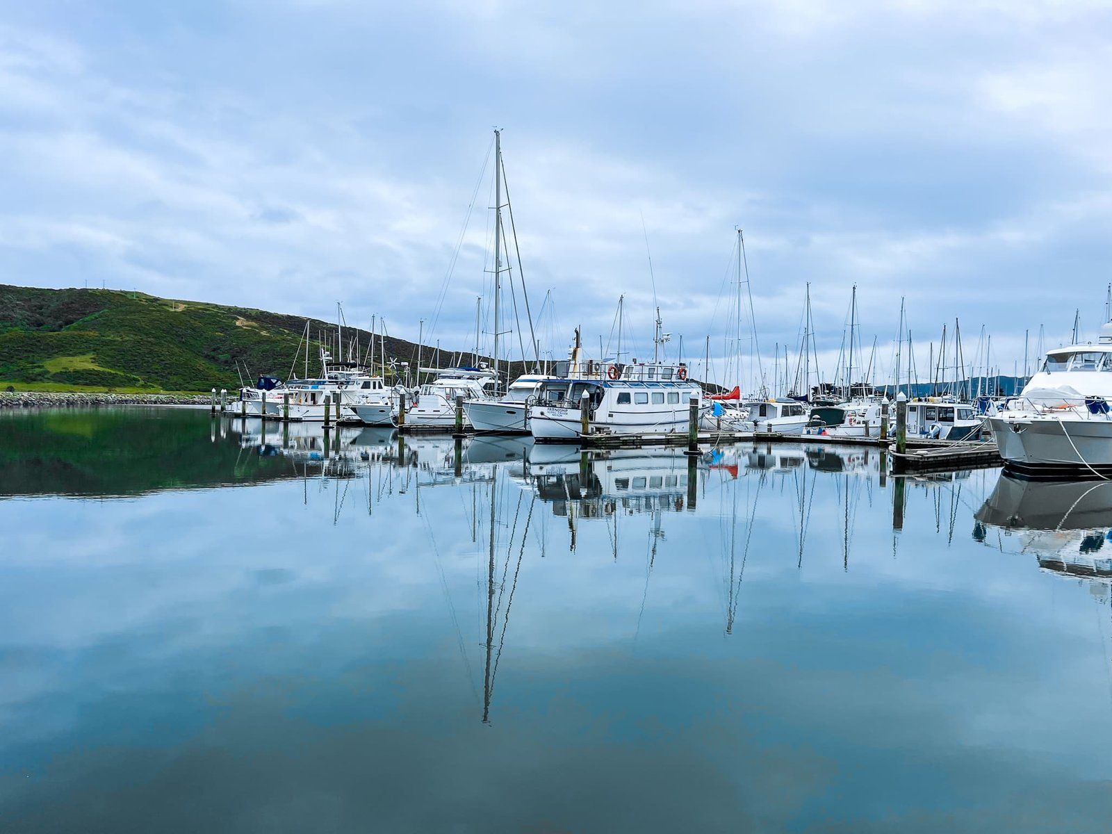
Te Awarua O Porirua is an overlooked but picturesque harbour between Porirua and Plimmerton. There is a shared cycle and walking track around much of the harbour, but you can also have a look from a carpark to the south of the Mana bridge, which crosses over a narrow section joining the two arms of the harbour.
From the carpark, look south to Ivey Bay (along the line of the bridge). If it is calm enough, take a moment to admire one of the best city water reflections in NZ before you set off. Then head around the edge of Pauatahanui, the western arm of the harbour for as far as you want to go, or walk under the road and rail bridge to the eastern arm to the marina, then follow the coastal shared track to Goat Point and Plimmerton, opposite the harbour entrance.
You can also drive south, then around the west arm of the harbour on Titahi Bay Road. From the end of the road, there is another track that takes you around the southern side of the harbour entrance.
Want more Trip Ideas?
Check out our blogs on the Paekākāriki Escarpment Track, Kāpiti Coast Part 1, and Akatarawa Road to Wairarapa.