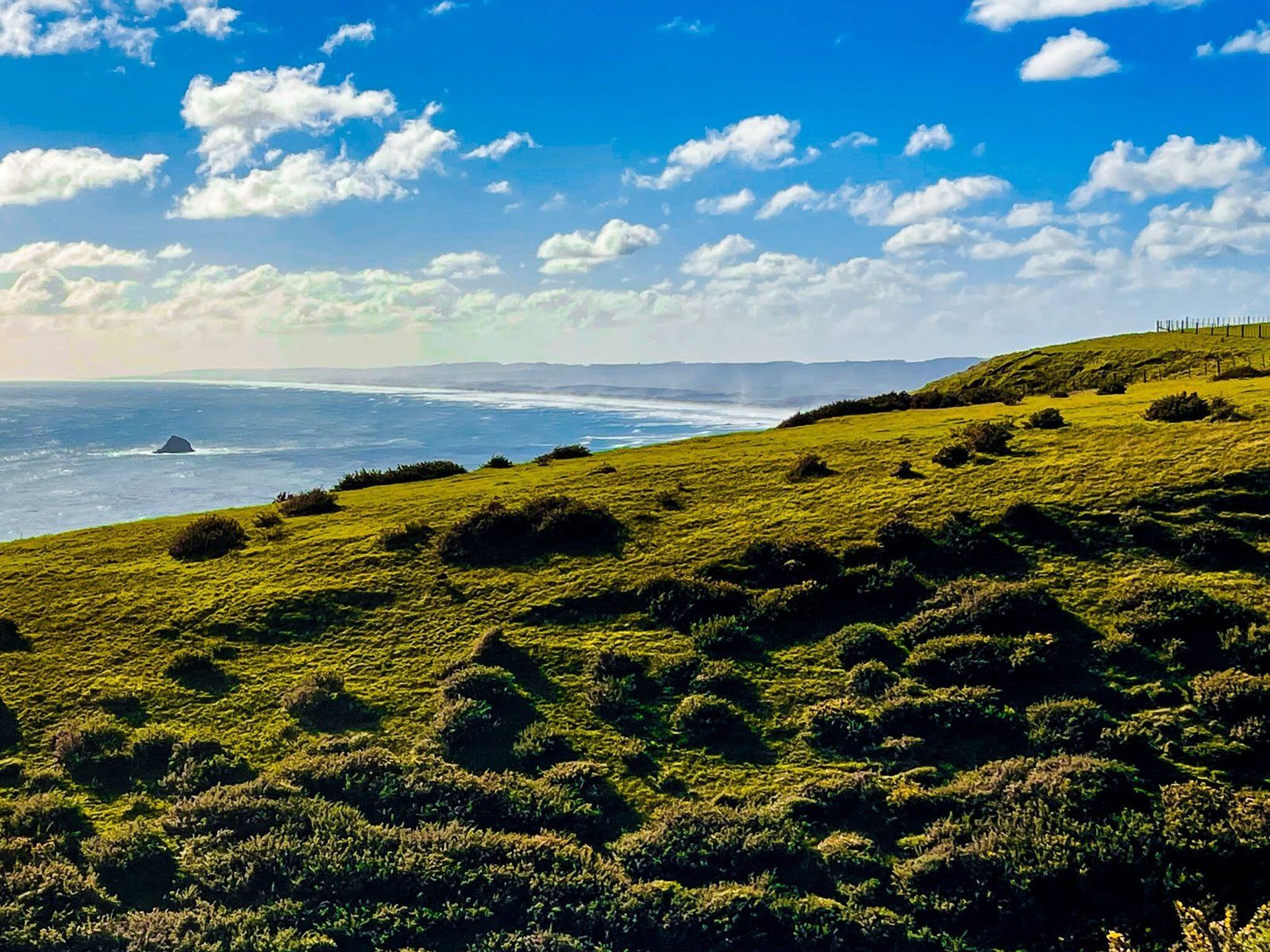
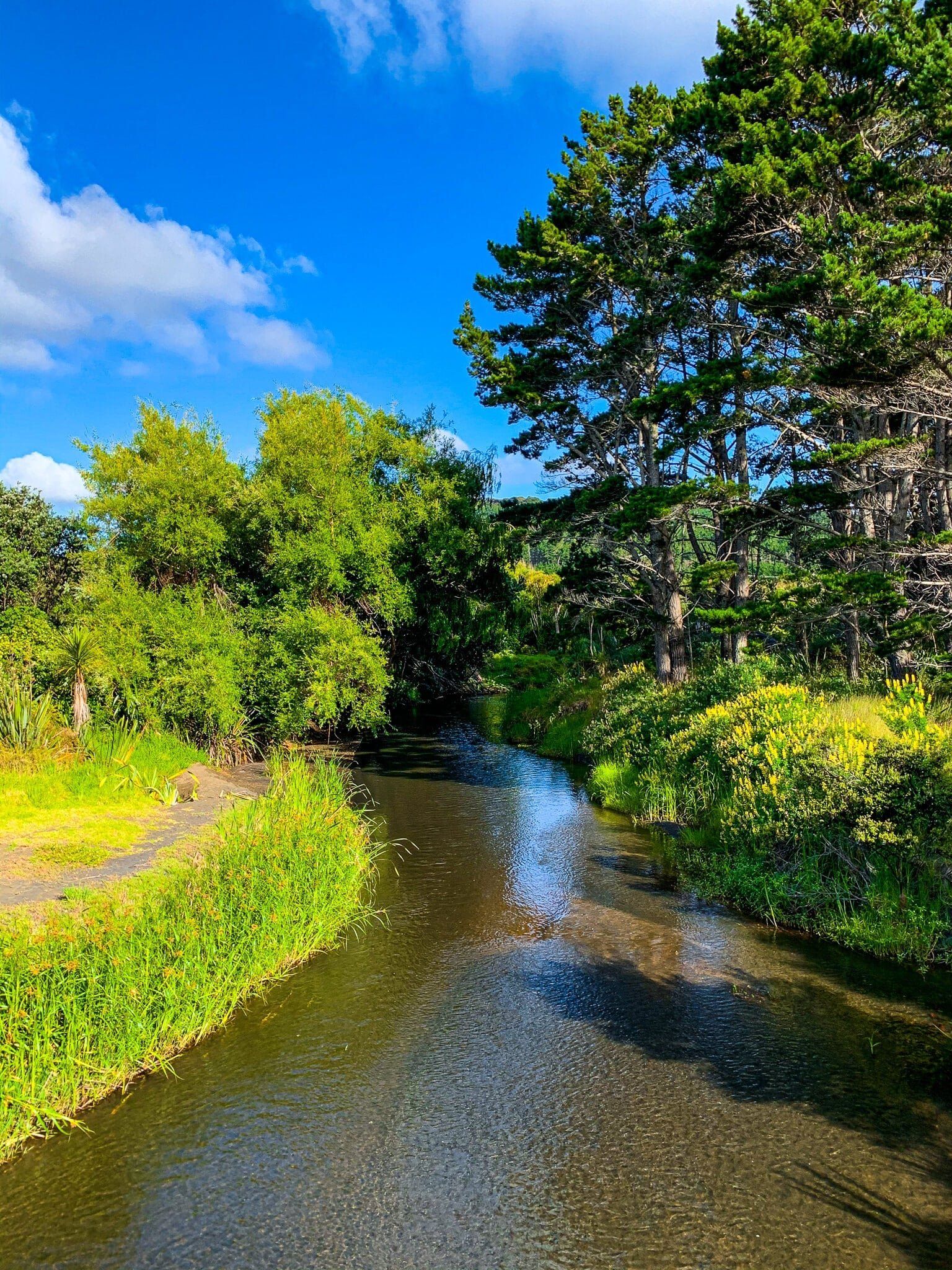
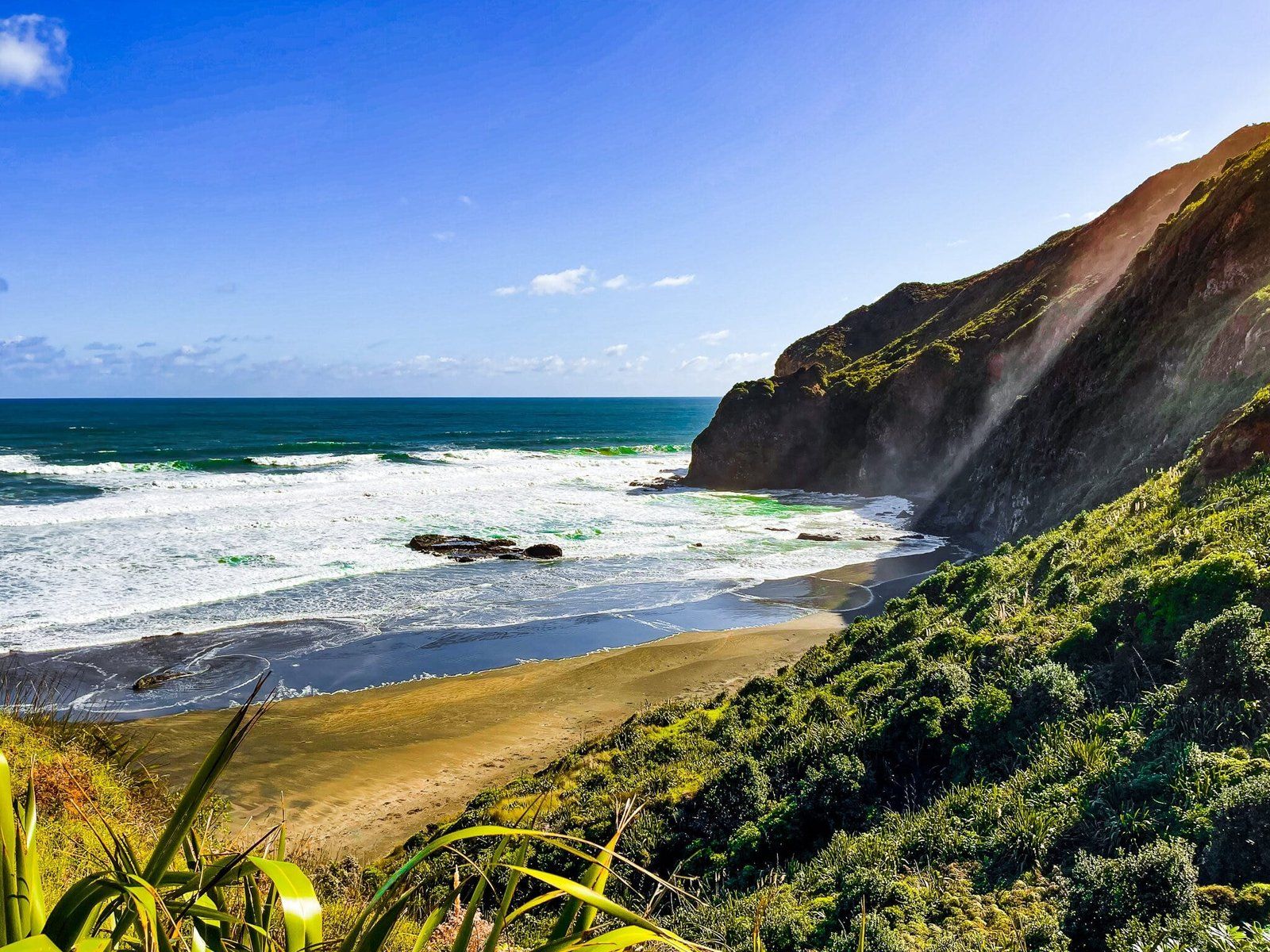
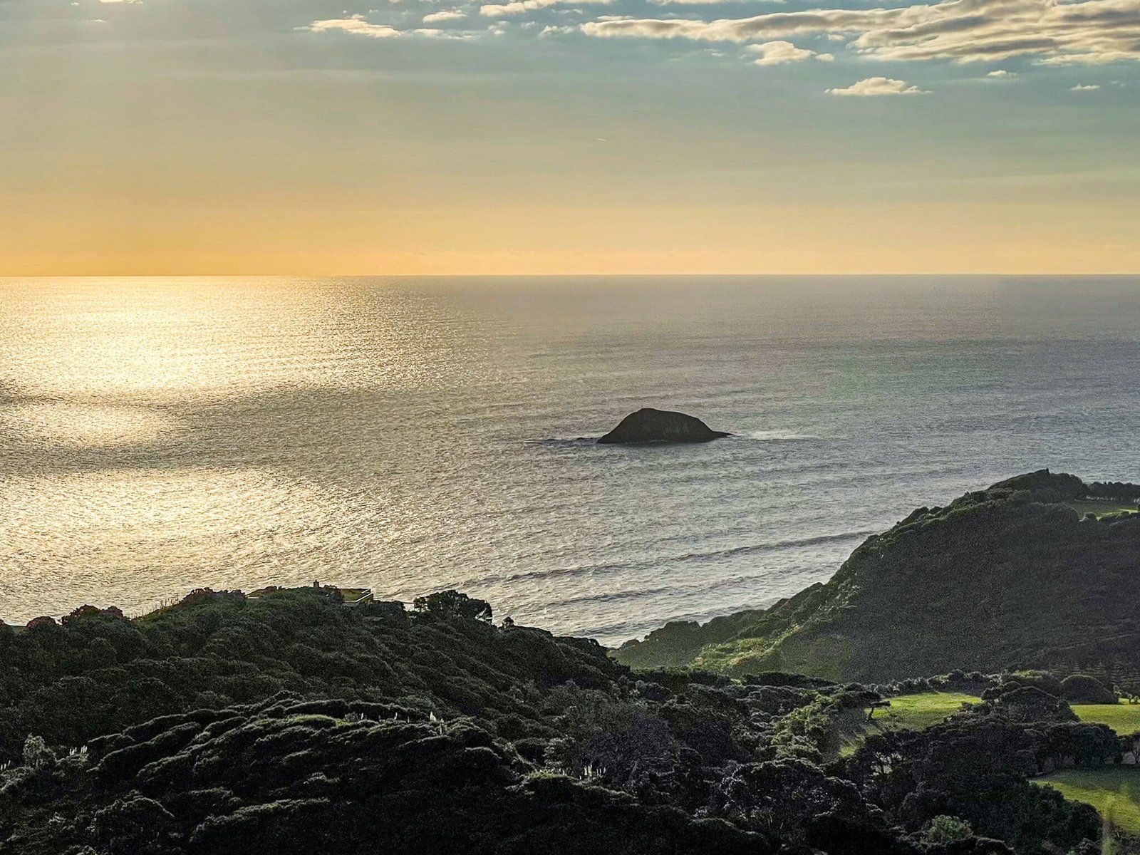
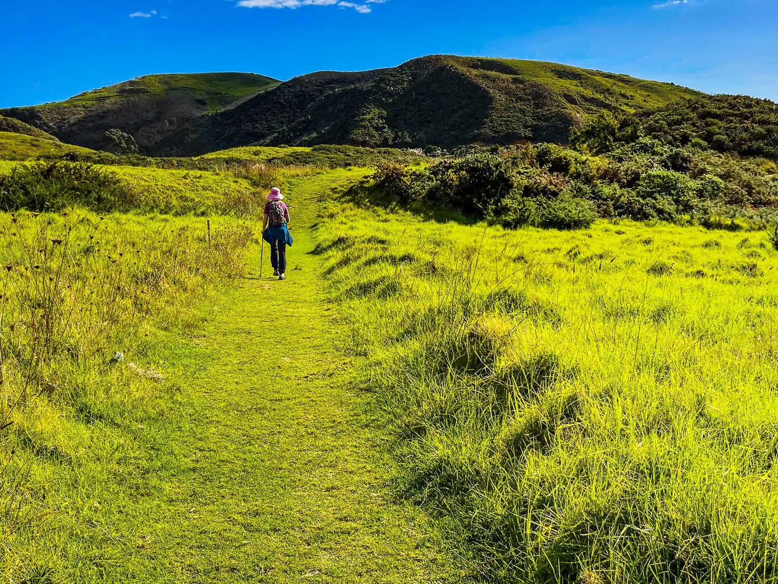
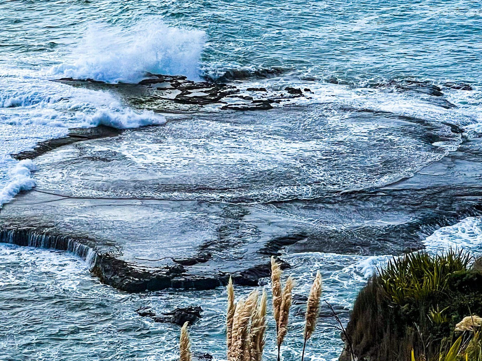
The Te Henga Walkway is the final section of the Hillary Trail Te Ara Tūhura, running from near the Bethells Road bridge over the Waiti Stream. It is normally a 10.3 km hike north from this start point to Constable Road at Muriwai, with superb coastal views. Unfortunately, the middle section along the cliffs between Raetahinga Point and Tirikohua Point has been subject to slips and is presently closed. However, you can still do two sections which give you a good sense of the track.
We have therefore described the walk in two parts. The first is from Bethells Road to O’Neill Bay, then from O’Neill Bay to Raetahinga Point. On the return leg, make sure you visit O’Neill Bay if it’s your first time there.
The second part is from Constable Road to the cliffs and coast south of Muriwai, which combines a rural farm walk with the spectacular coastline. This section is best combined with a visit to Muriwai and the gannet colony, as it’s a bit of a drive to get from Te Henga to Muriwai, despite how close they are as the bird flies.
Bethells Road to O’Neill Bay
As you are driving into Te Henga and cross the small bridge over the Waiti Stream, you will see the car park for the Lake Wainamu Track on the left, a bit over one km before the beach car park. Look immediately to the right for a turnoff which will take you to the start of the access to the Te Henga Walkway. You can drive to the end of this access way.
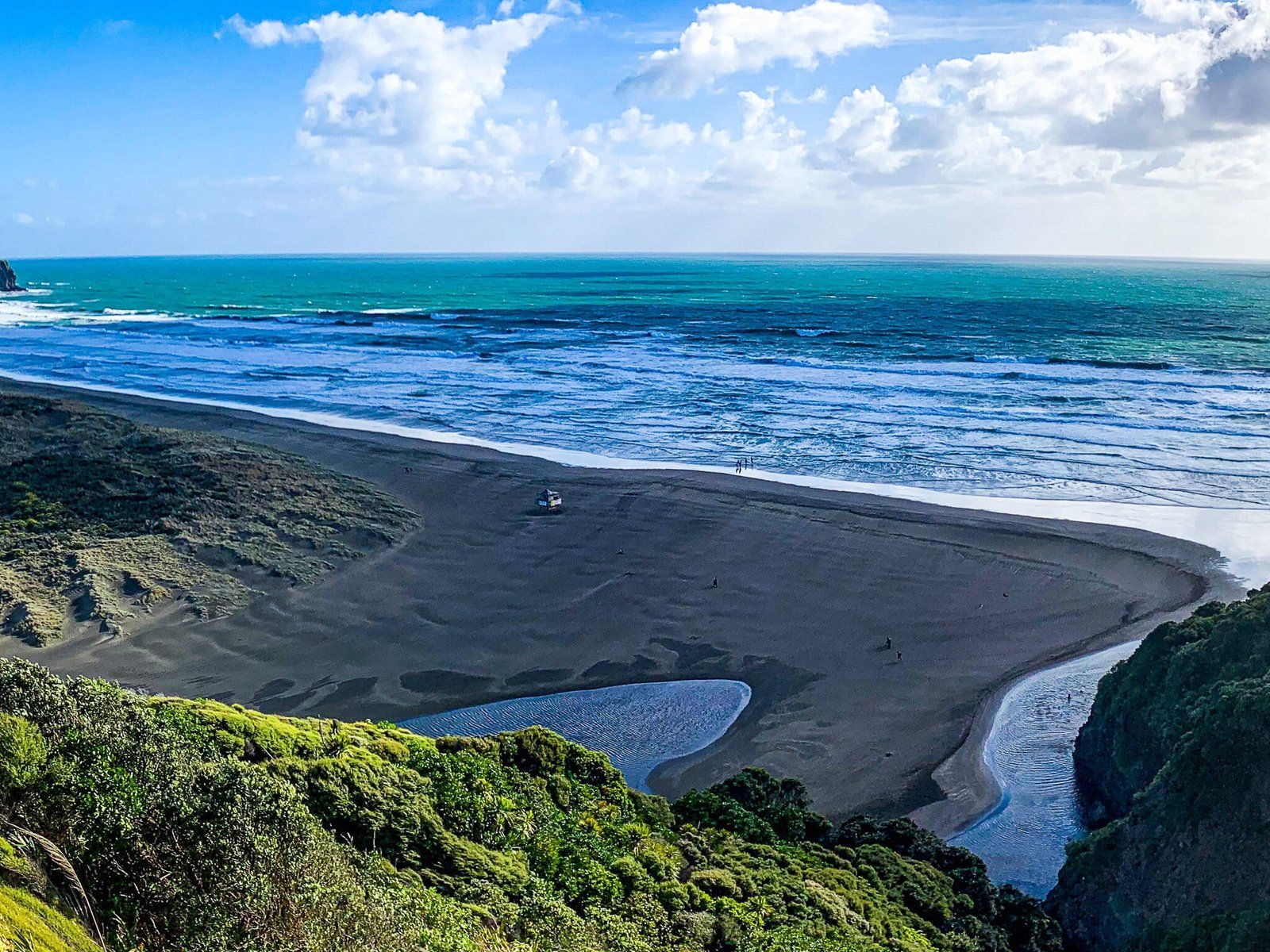
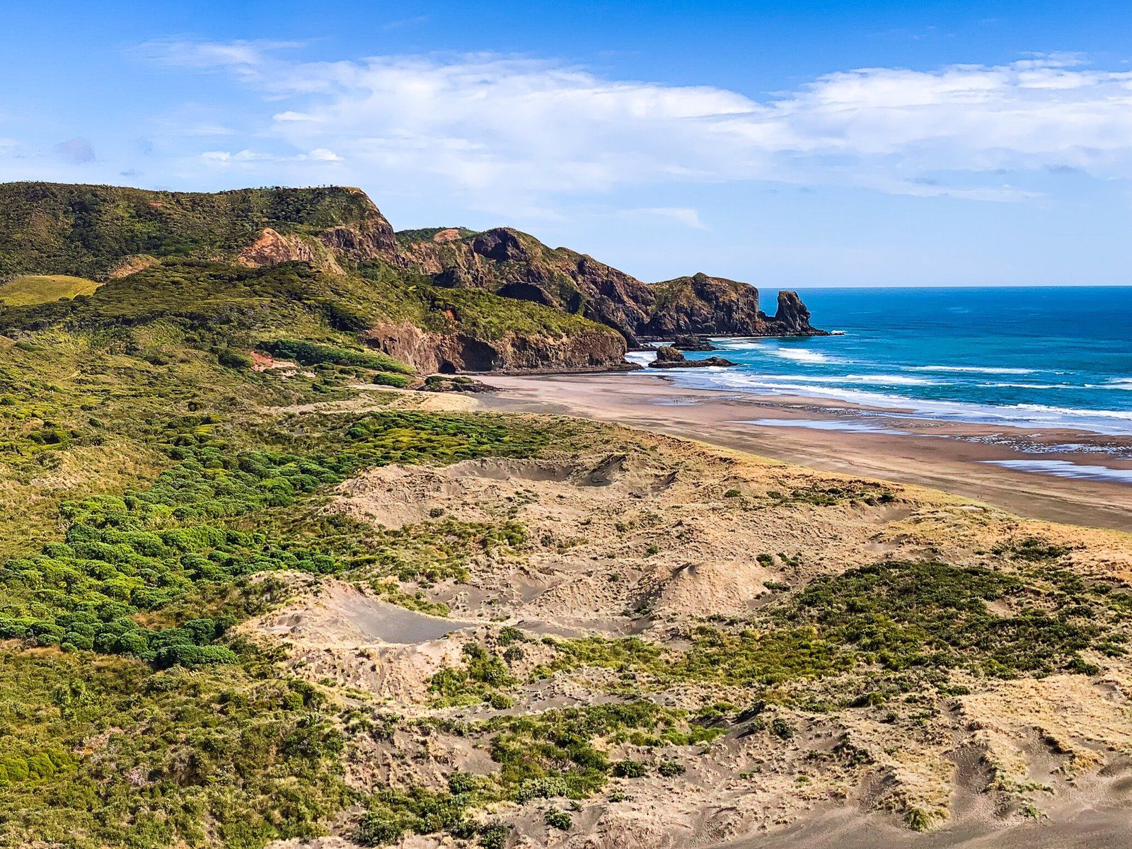
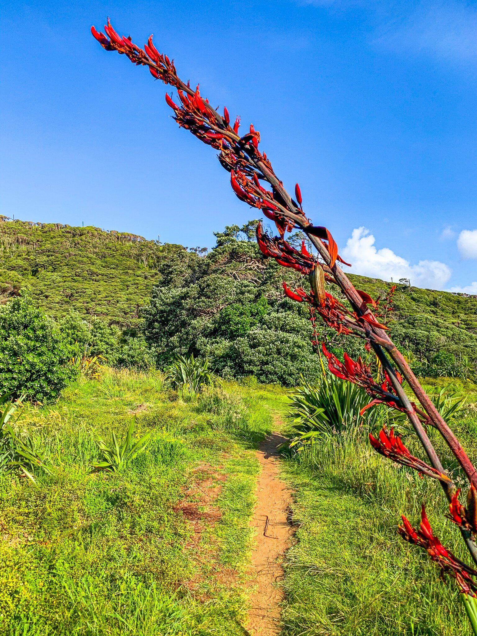
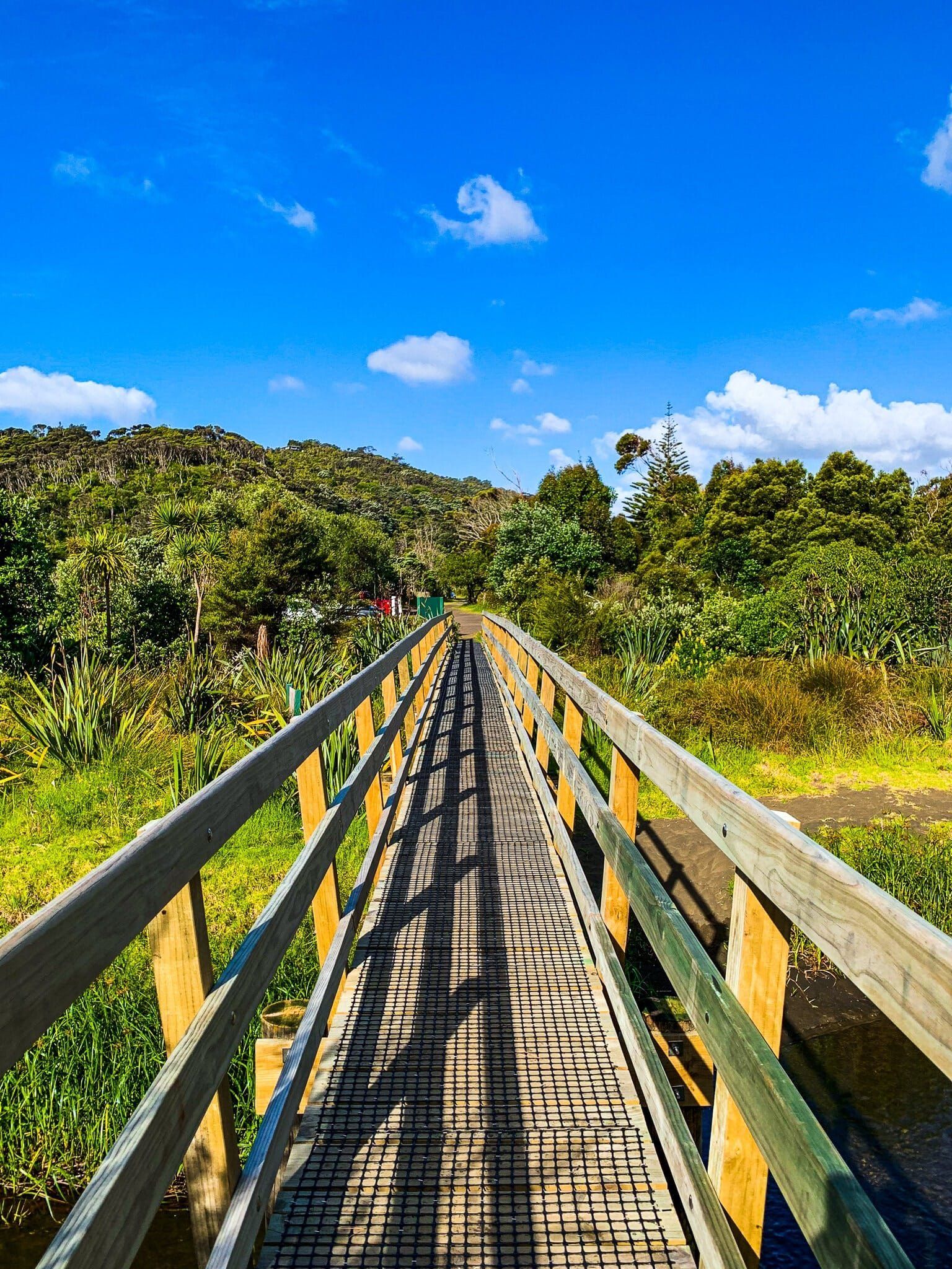
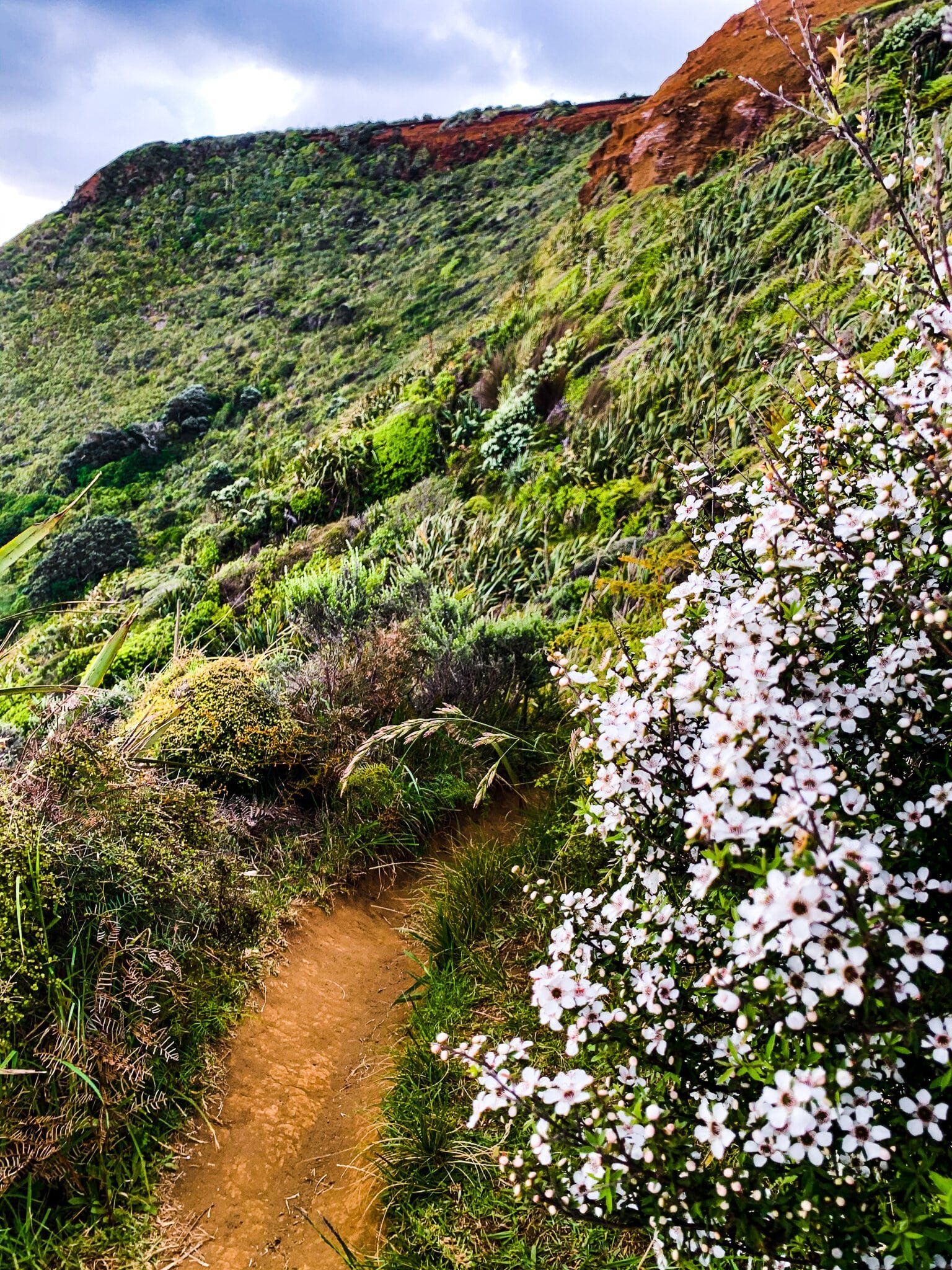
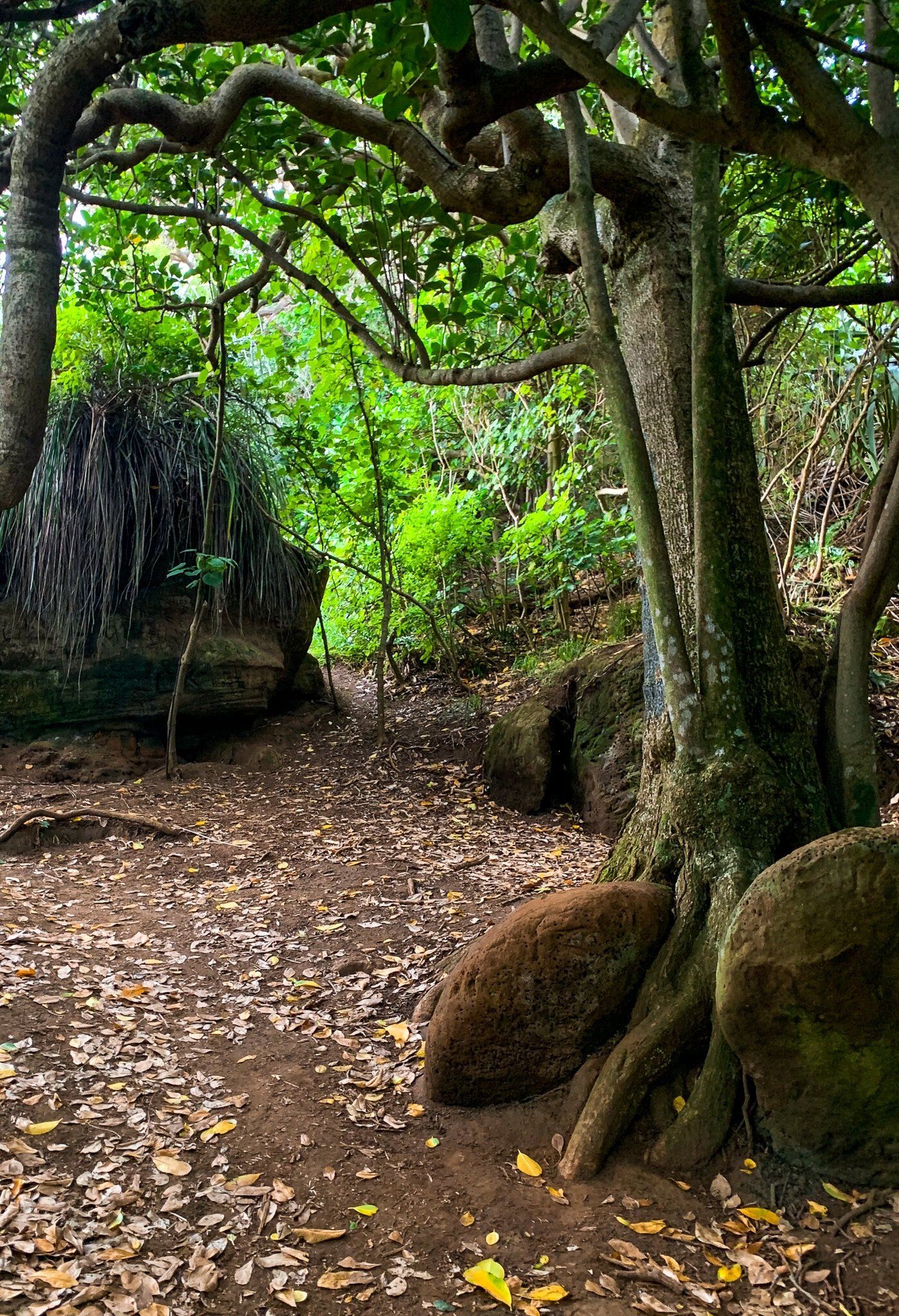
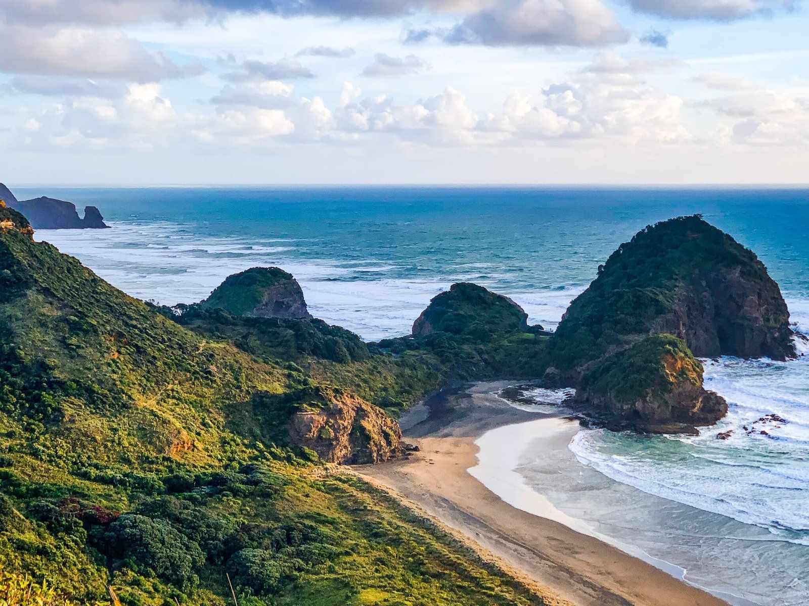
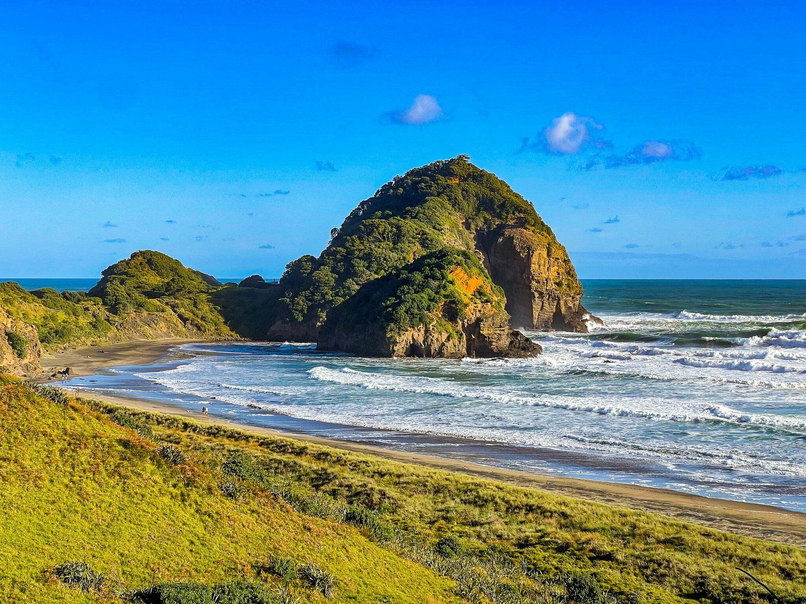
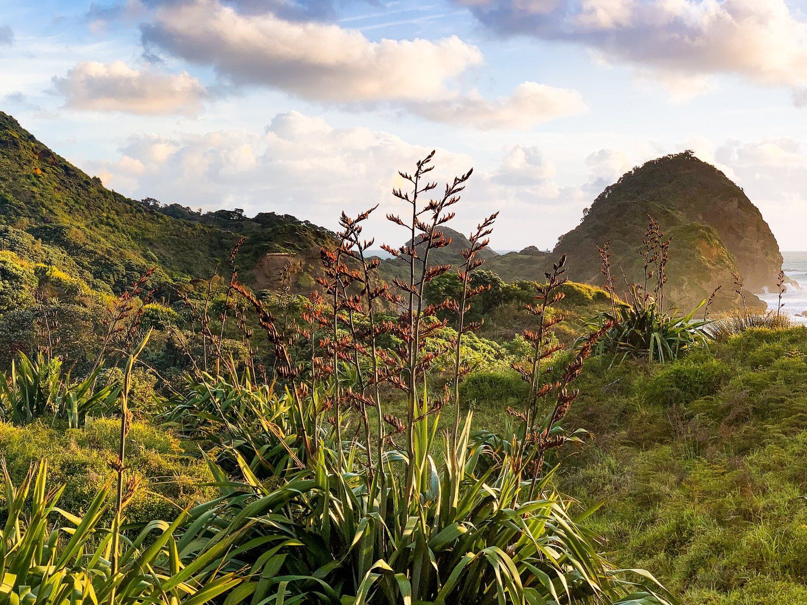
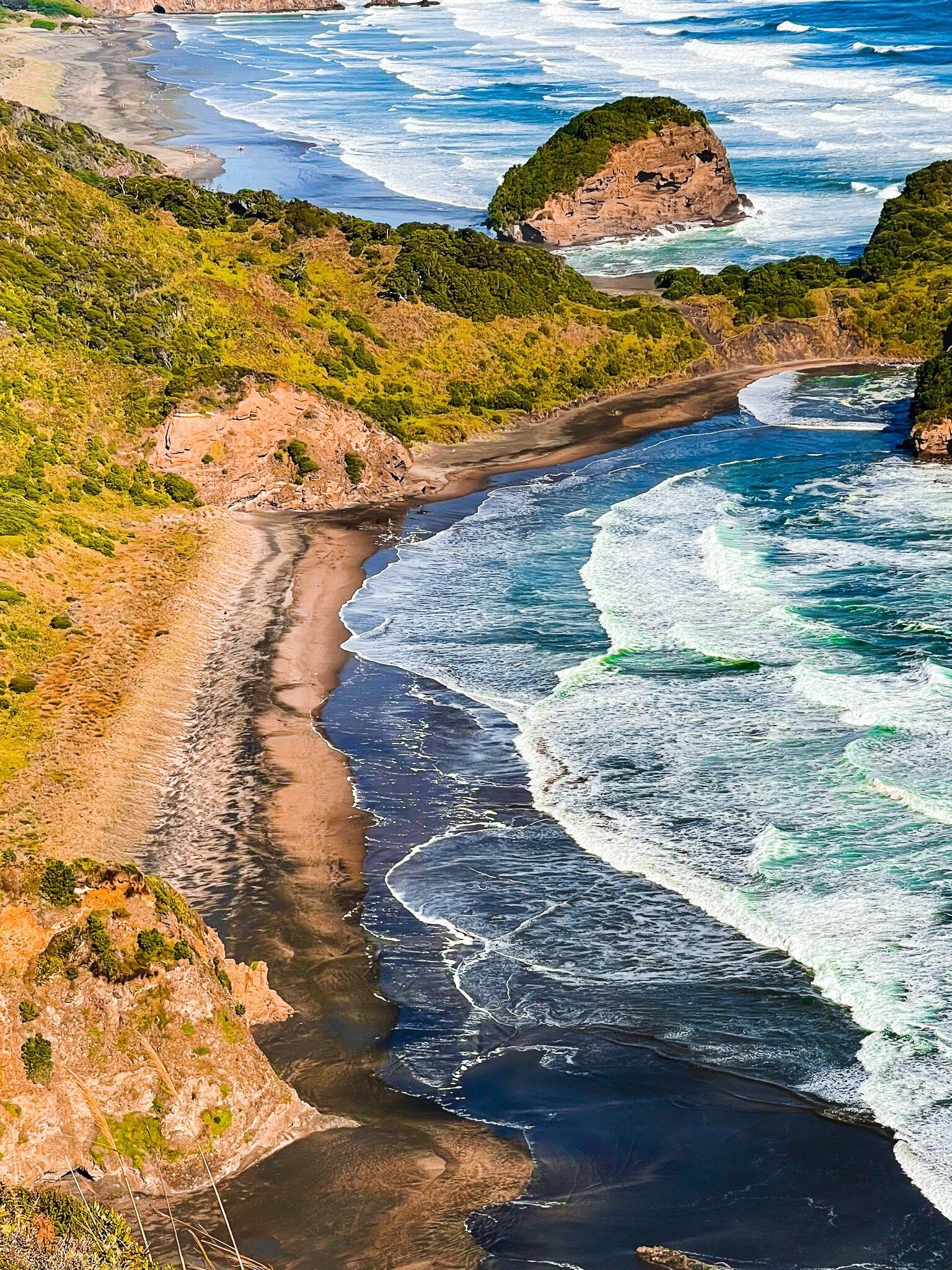
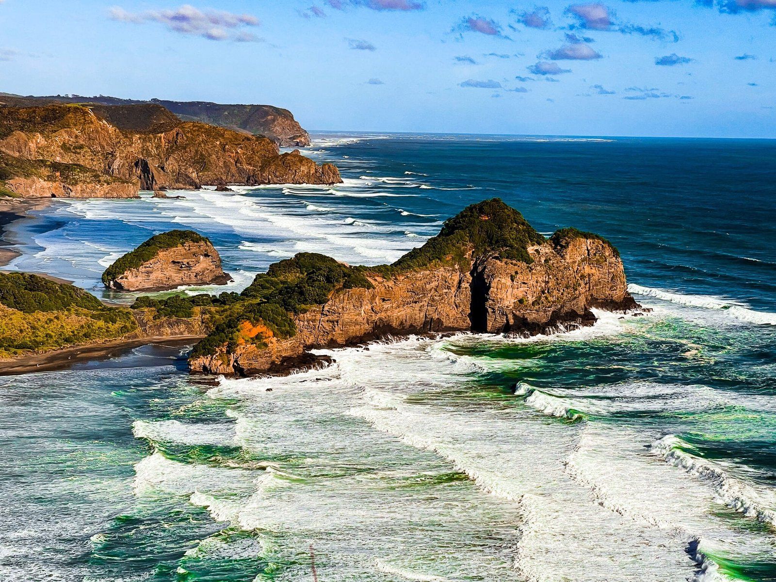
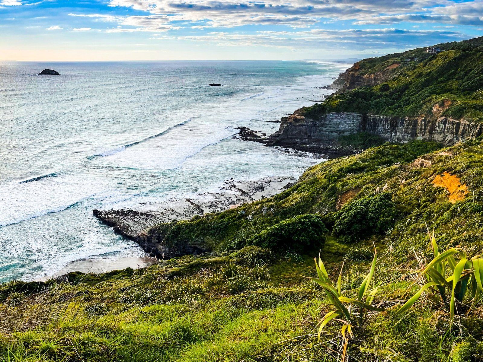
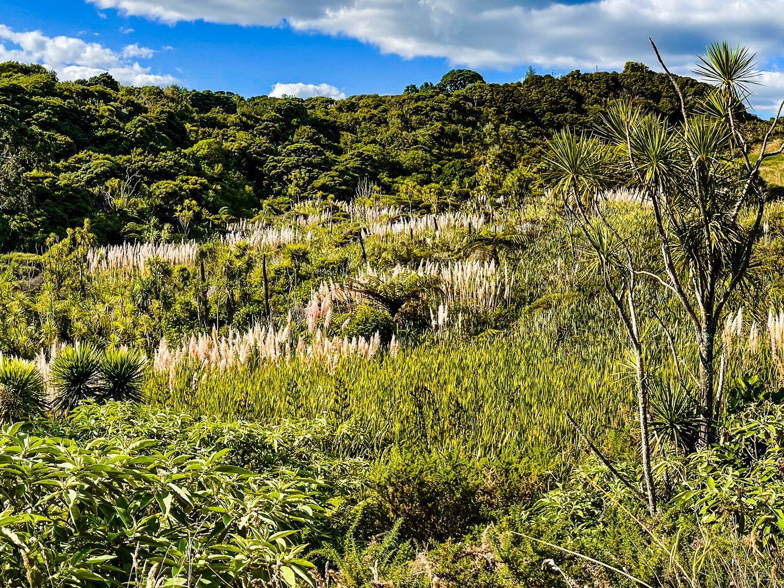
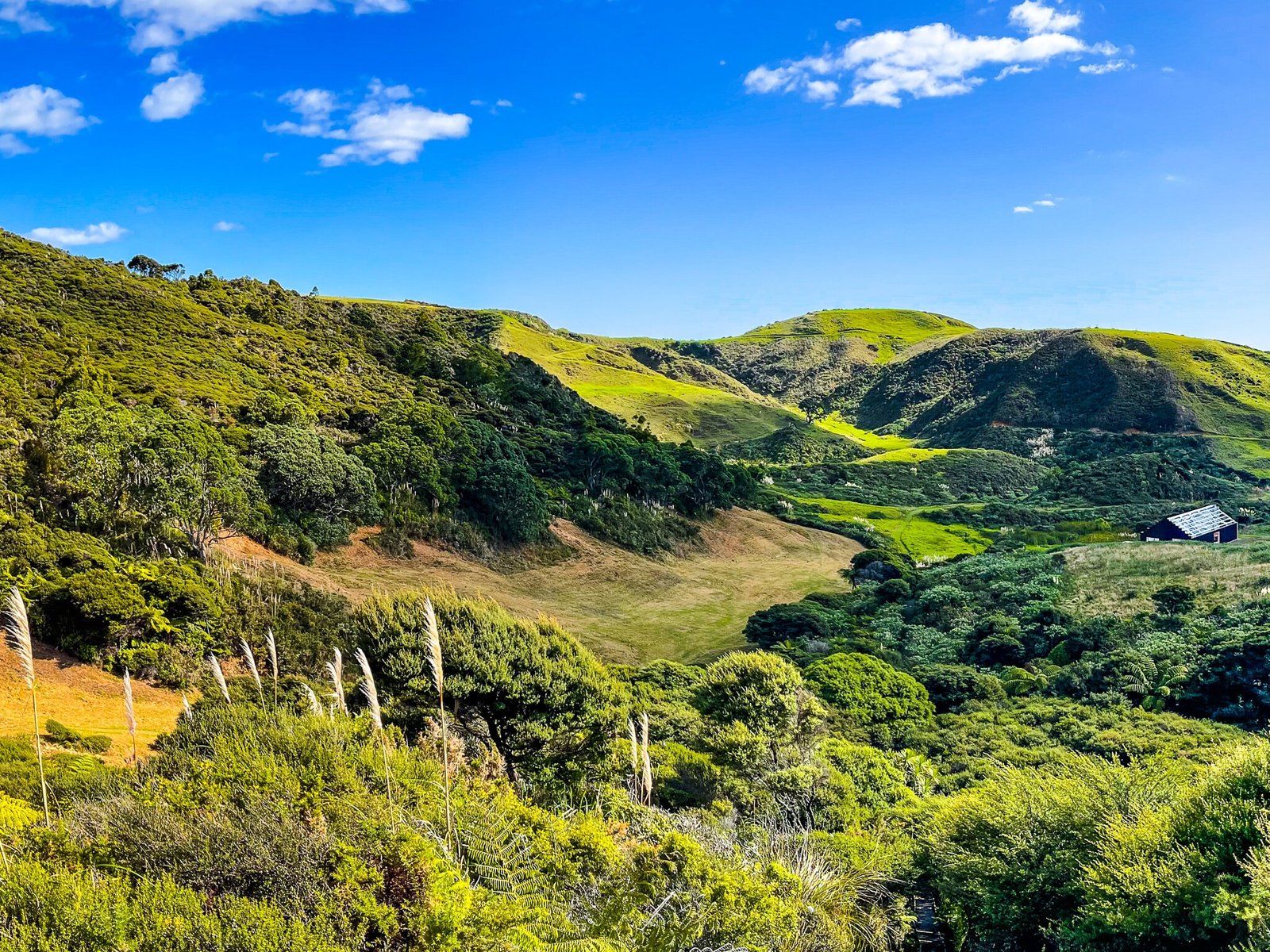
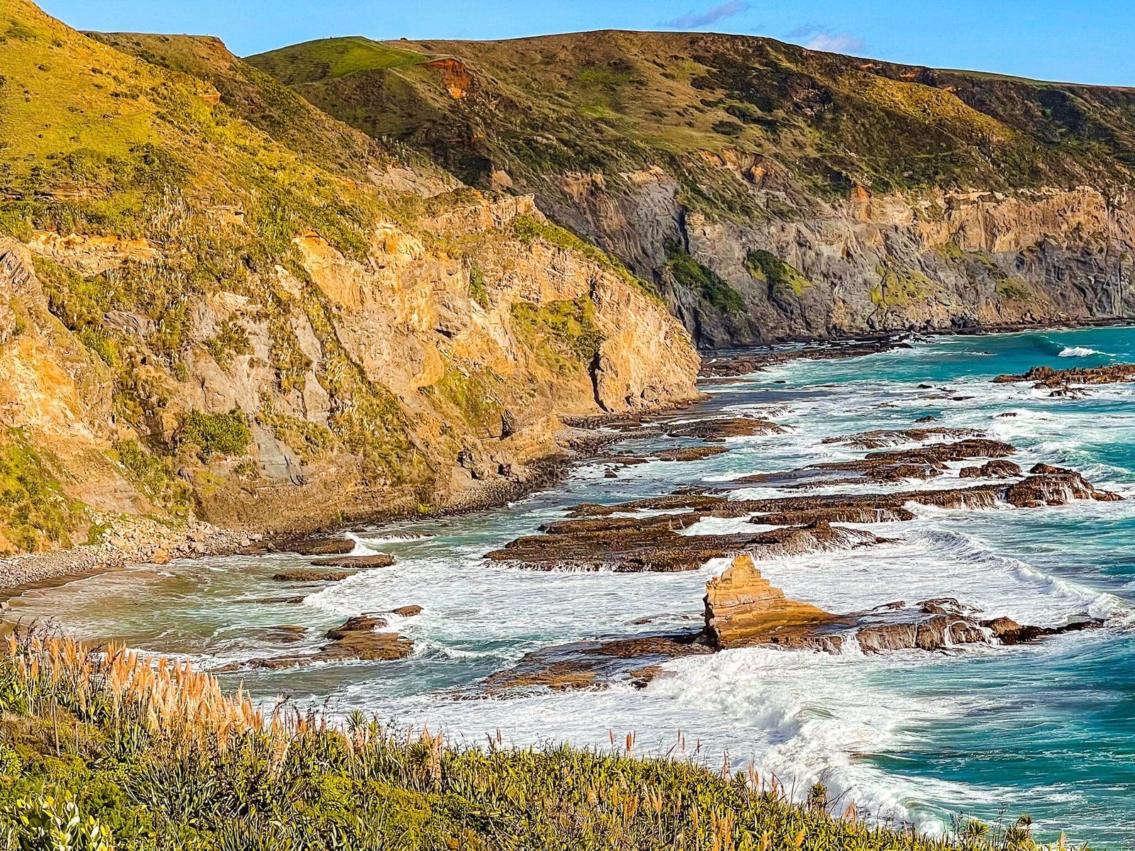
The track crosses a short bridge over the Waitākere River, heads through some farmland below Taumaiti (the big hill to the north) then climbs 80 metres up the side of the hill to a viewpoint above Te Henga and the river. There is a short forest regrowth section before it opens again above Waitākere Bay, including views north along O’Neill Bay. The track then heads down to the sand dunes behind O’Neill Bay, with a short deviation onto the beach. Spring and early summer is a particularly nice time for this walk, with much of the native scrub and trees in flower.
Allow about 40 minutes to get to O’Neill Bay.
O’Neill Bay to the Clifftop
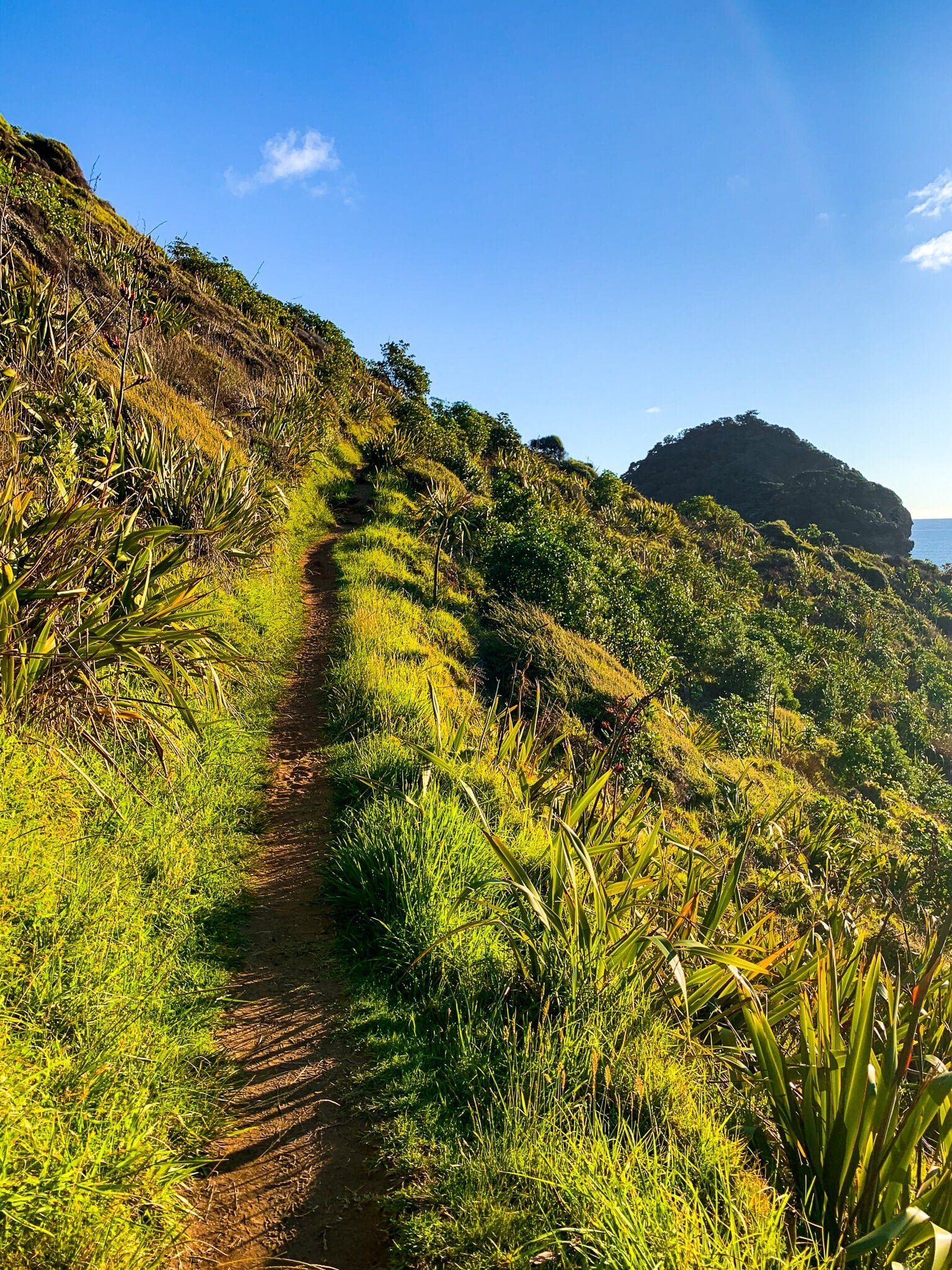
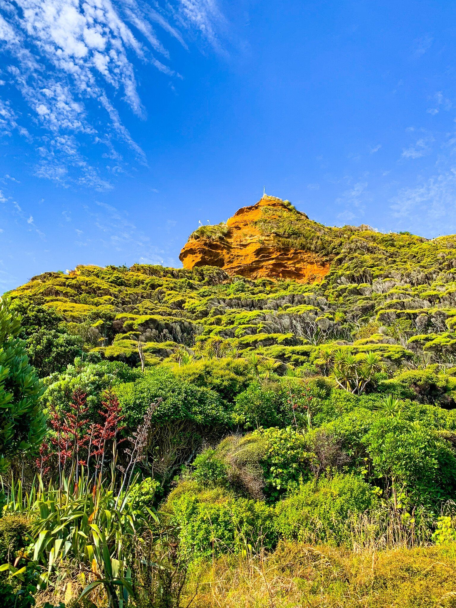
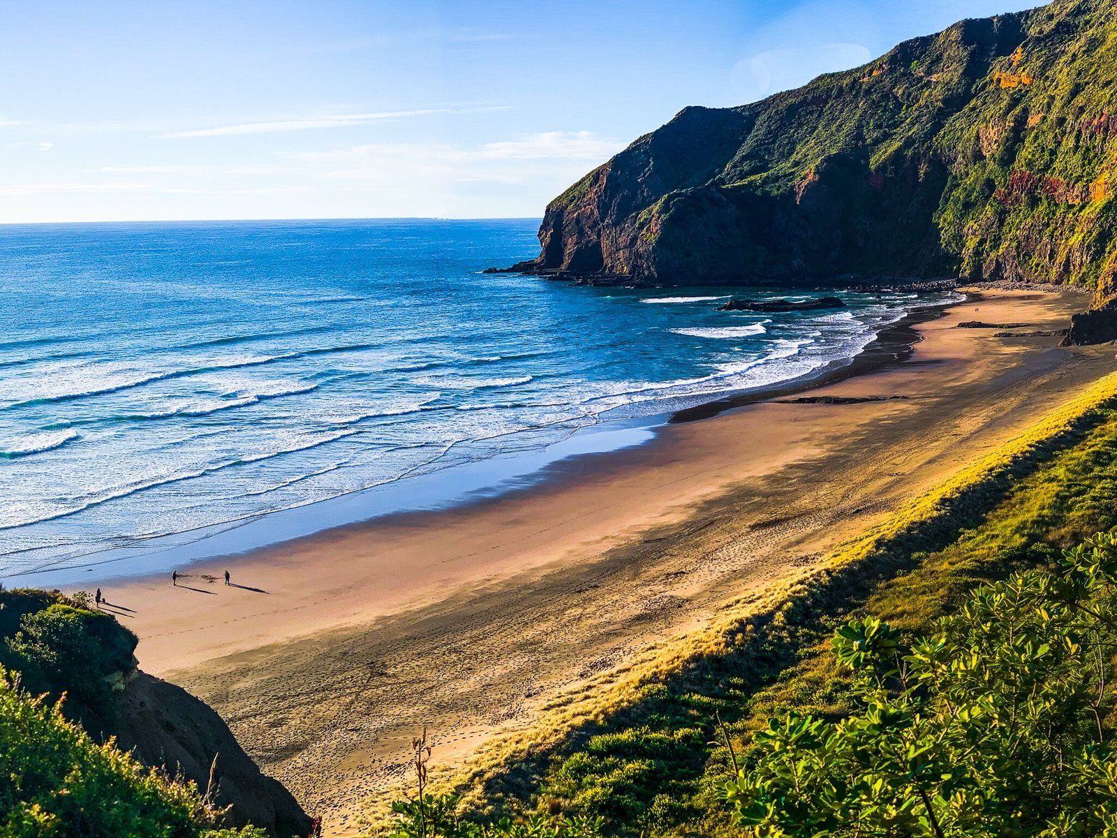
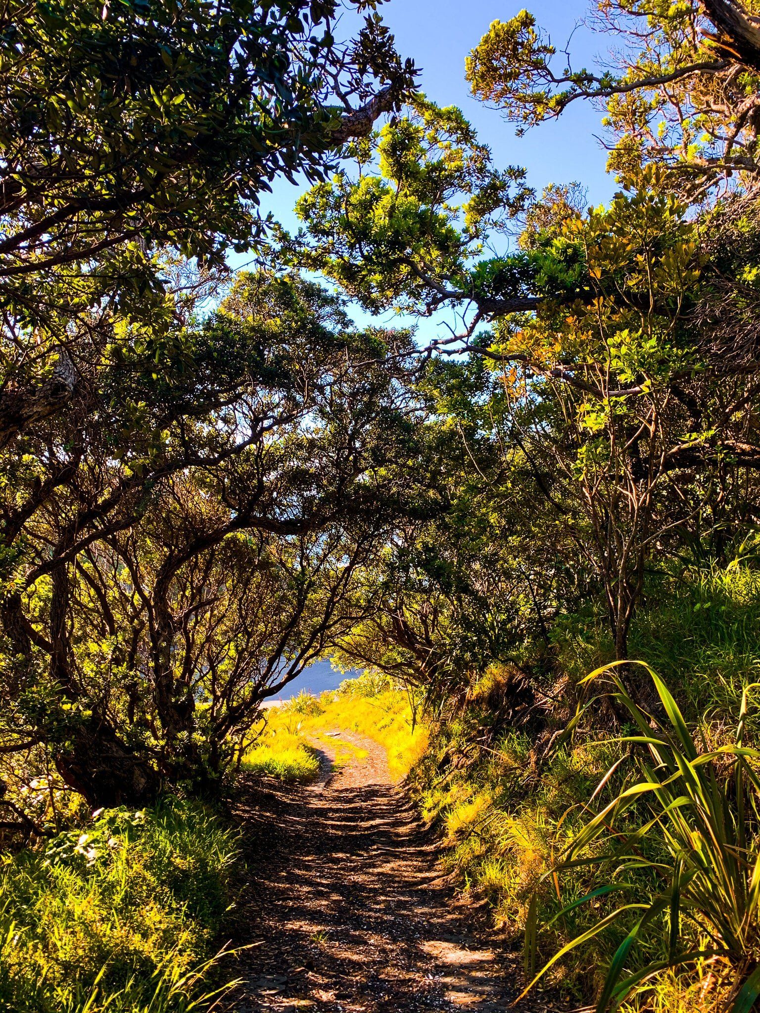
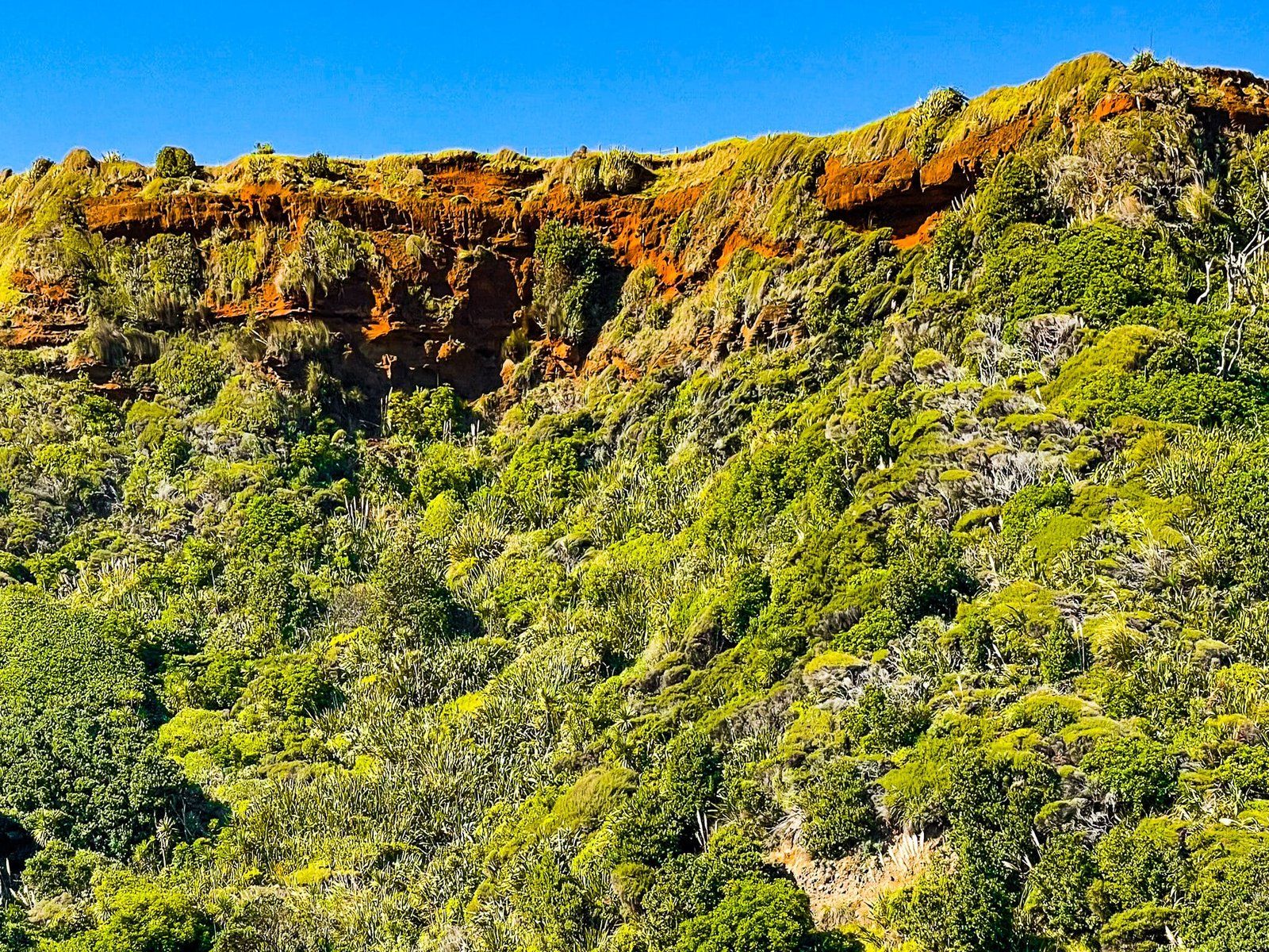
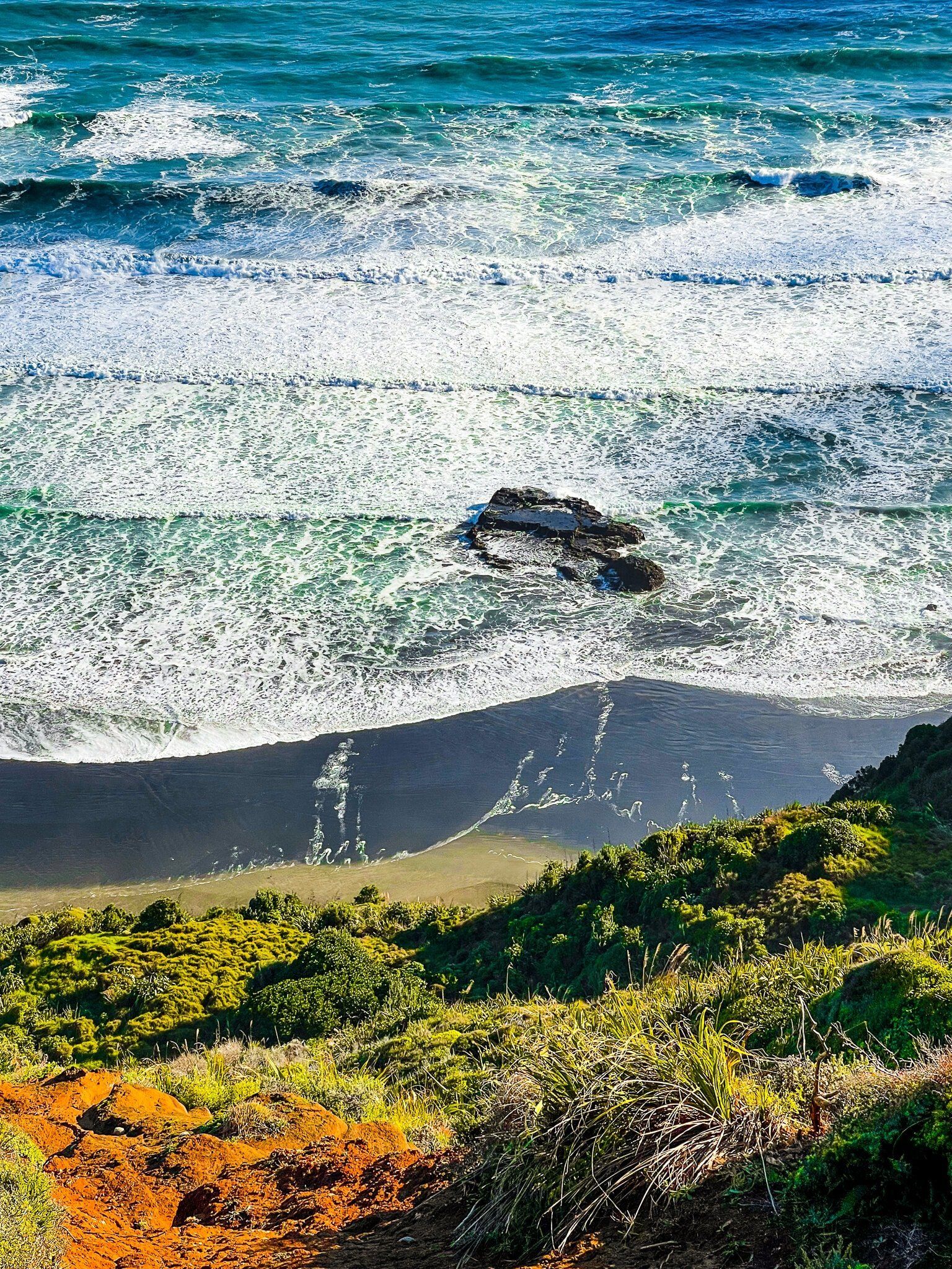
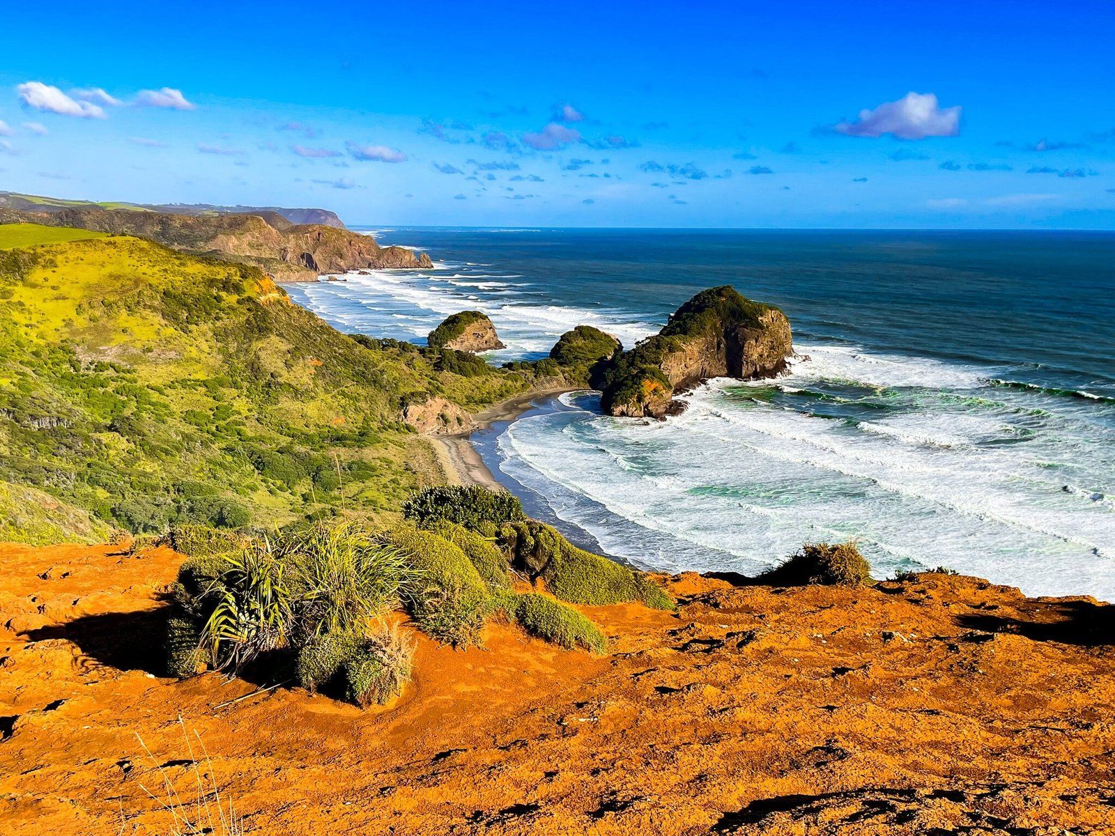
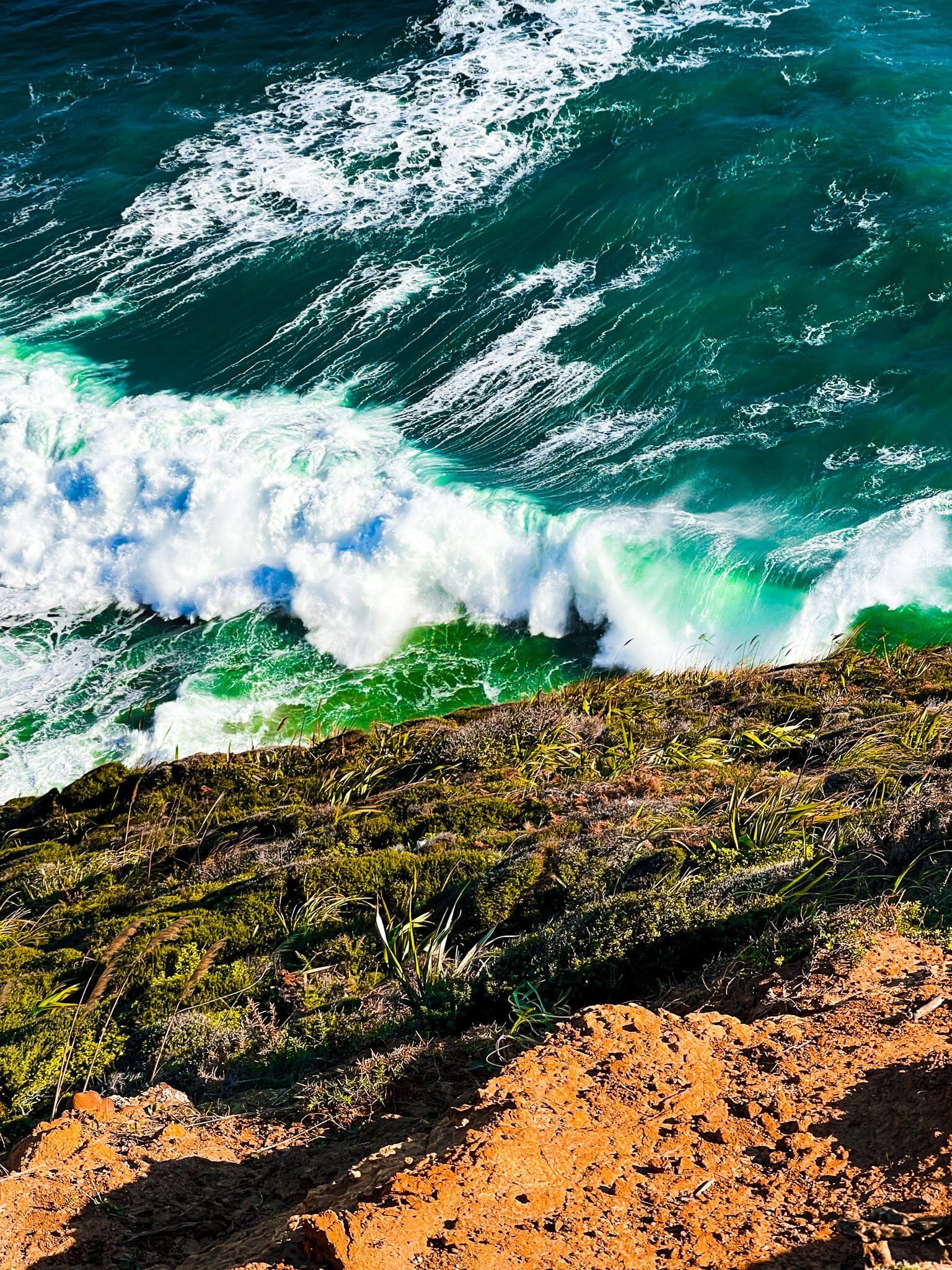
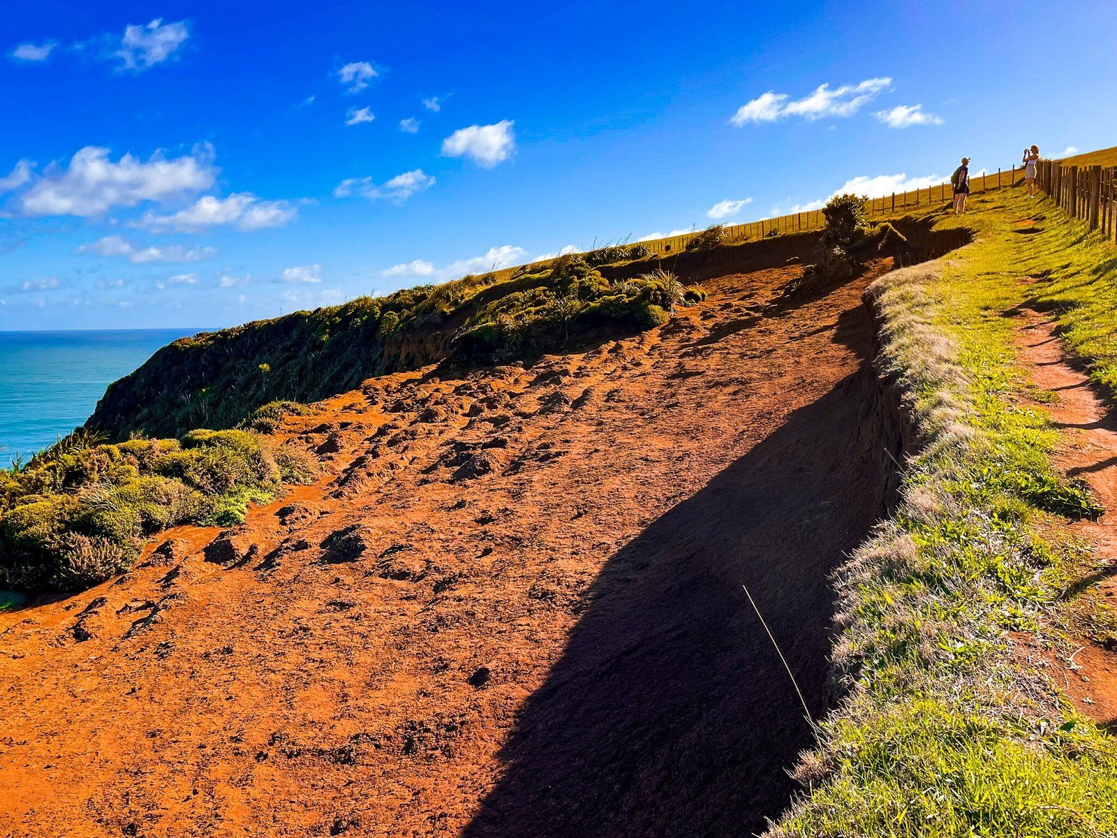
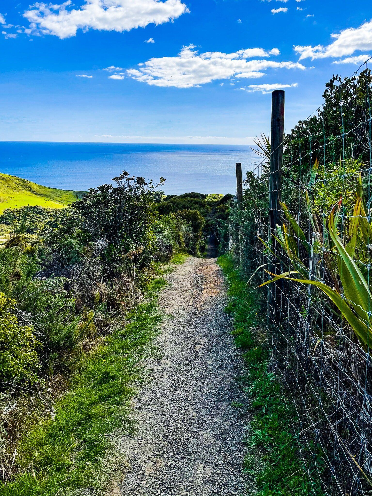
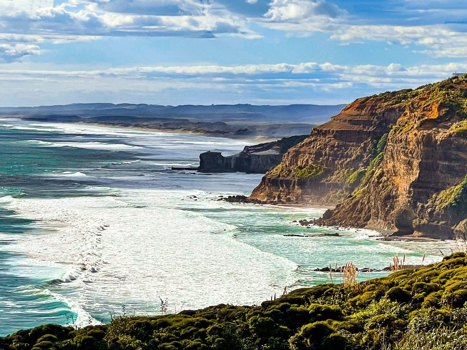
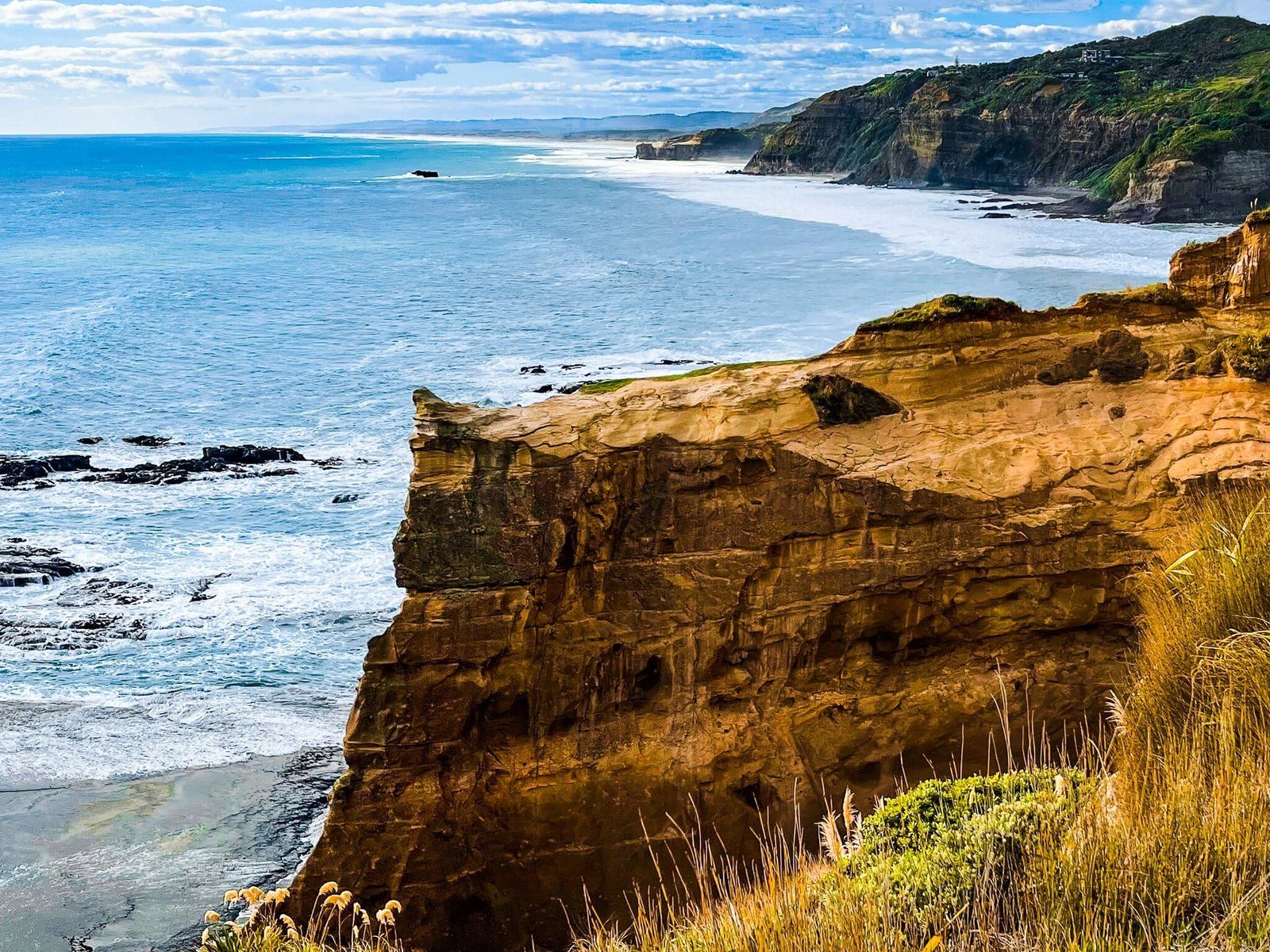
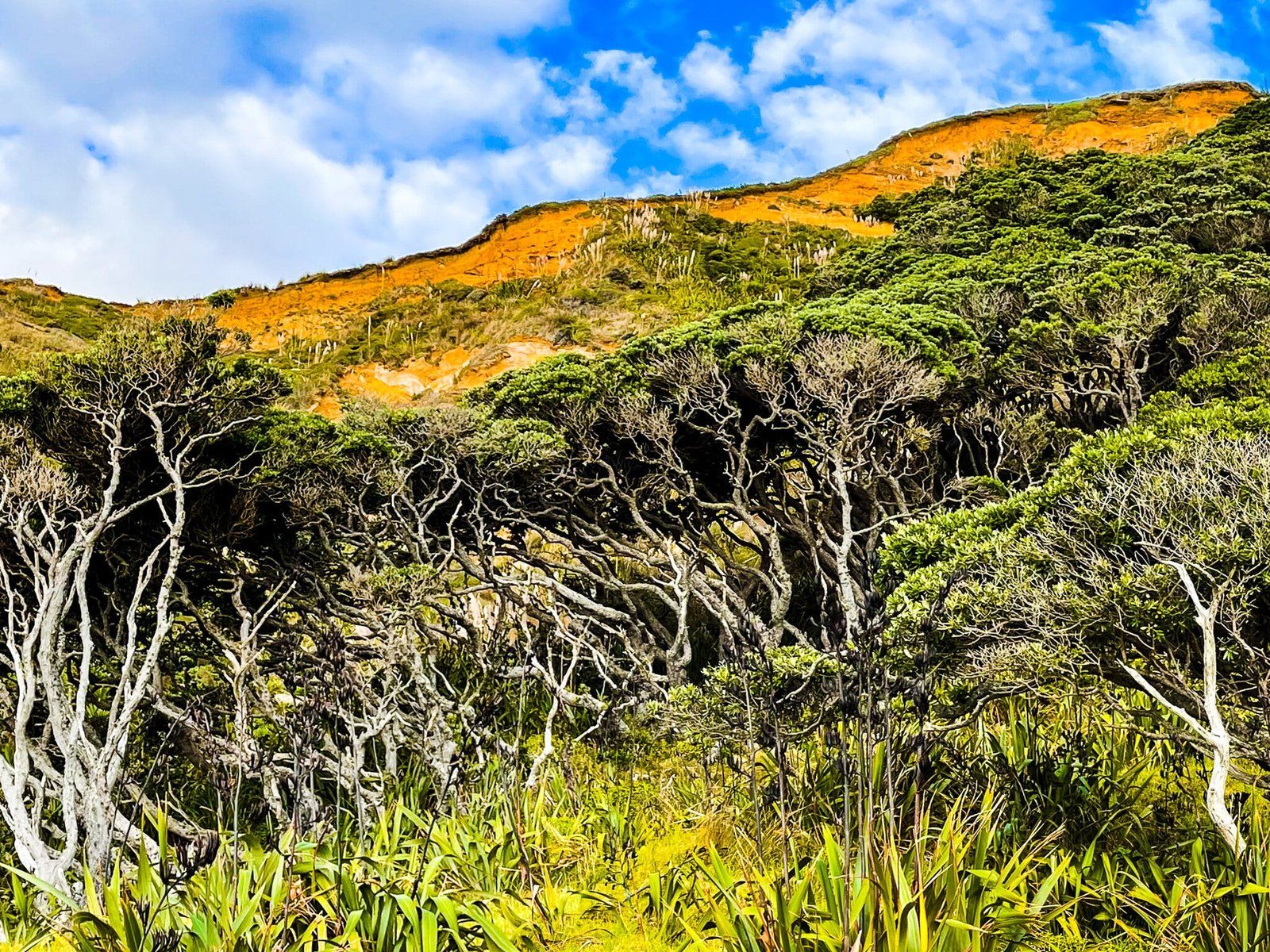
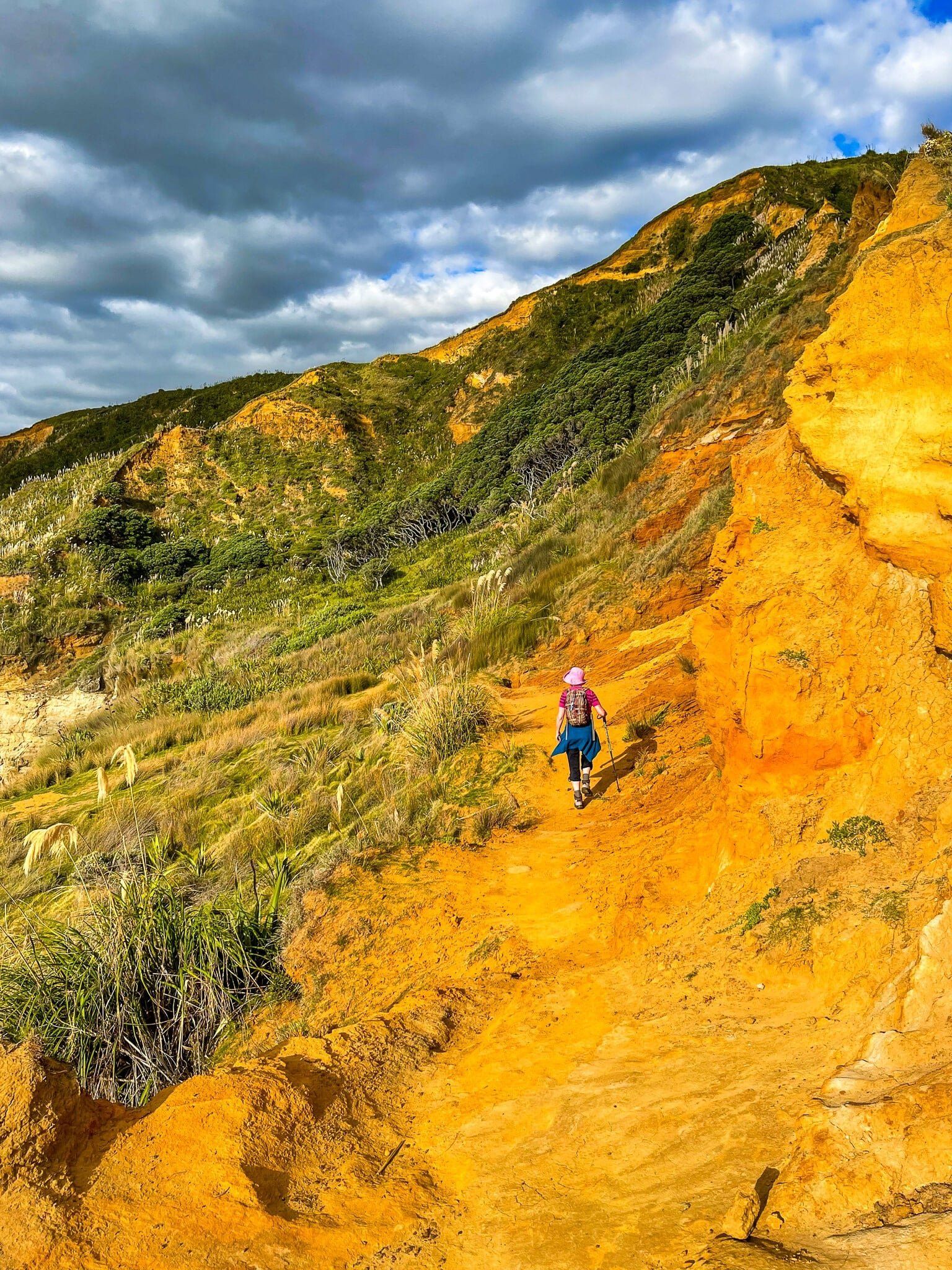
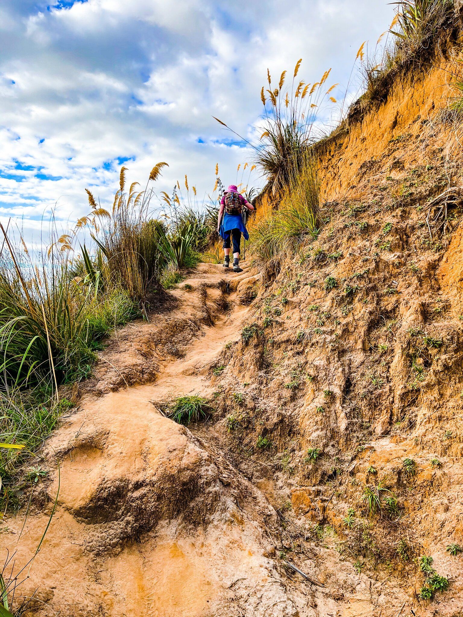
From O’Neill Bay, follow the Te Henga Walkway north. It takes about 25 minutes to get to the clifftop at the north end of the bay. The first section is a bit of a trudge through the sand dunes, which are mostly covered in native grasses and scrub with some attractive pōhutukawa trees. Then there is a short climb from O’Neill Bay to the top of Tangihau Point (80 metres high above the beach). From there, the track narrows and climbs quite steeply, often in a deep channel, through scrub to the spectacularly eroding orange coloured cliff top with a high point of 180 metres at the north end of the bay.
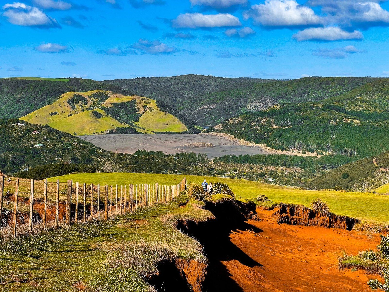
Curiously, at the top, there is farmland and a fence just beyond the cliff edge erosion, but with great views over O’Neill Bay to Te Henga, and across the farm to the enormous Lake Wainamu sand dunes.
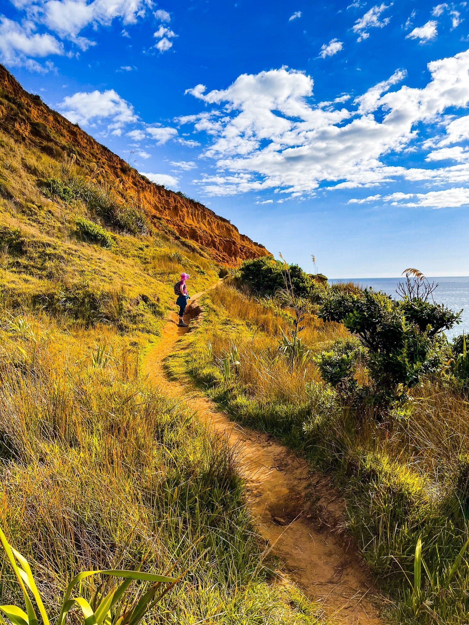
You can head back from there or walk for another 20 minutes or so on a mostly easy track above the edge of the cliff to Raetahinga Point.
Raetahinga Point
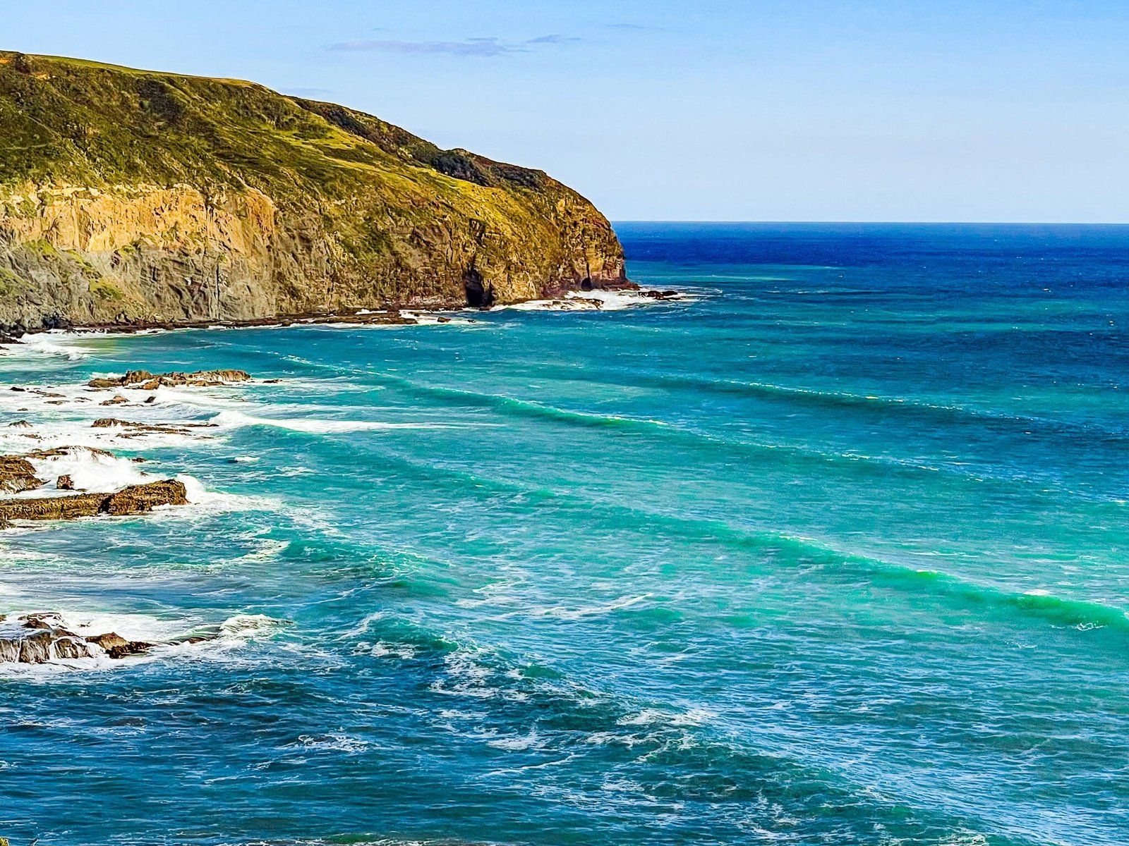
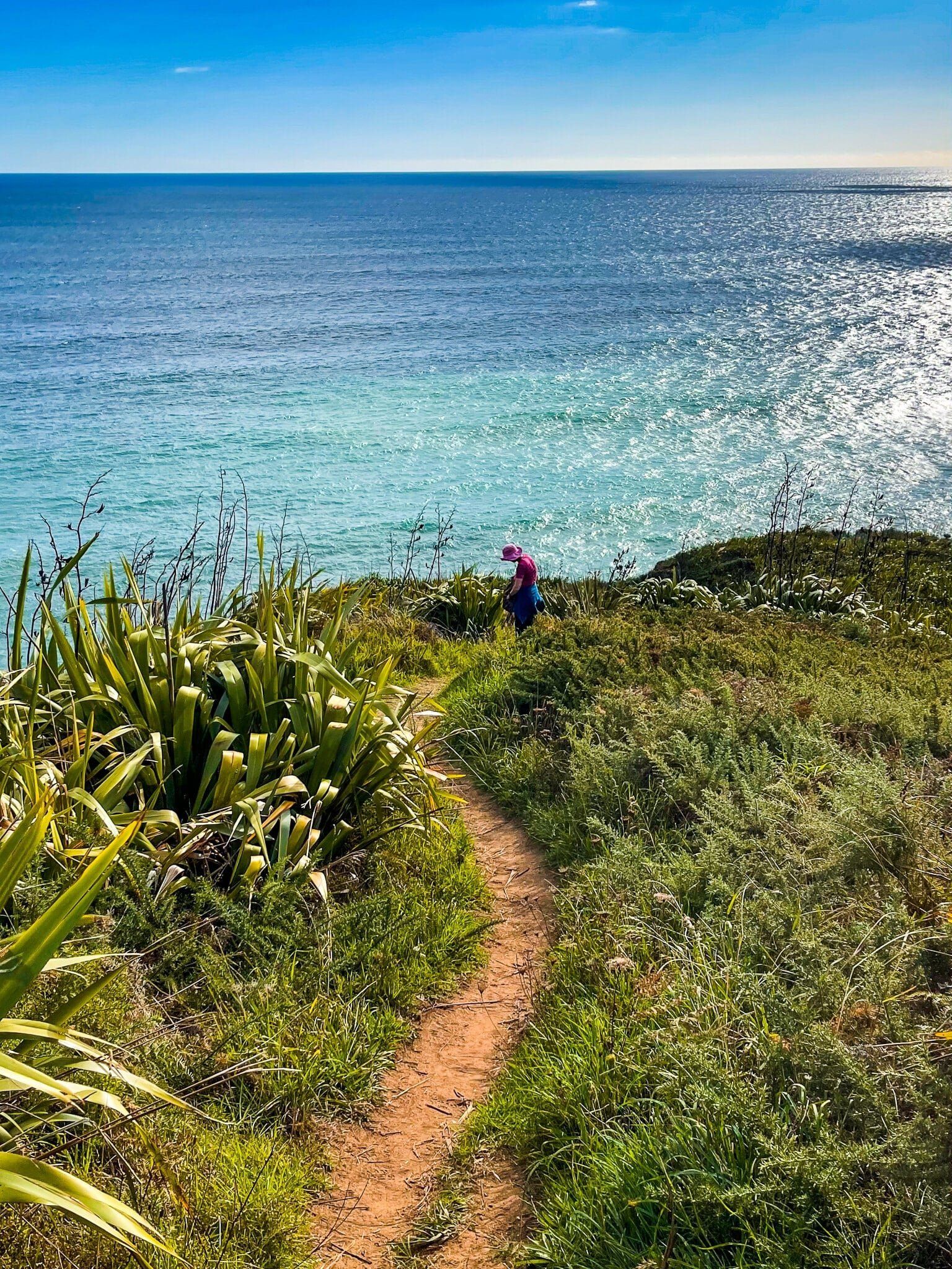
Presently, Raetahinga Point is as far as you can go on the Te Henga Walkway from the south, with the track closed shortly after the point. It takes about 40 to 45 minutes from O’Neill Bay to get to the point, with a drop down from 180 metres at the highpoint on the cliff to 100 metres at the point. Much of the track has fabulous views over O’Neill Bay, with some views towards Muriwai.
Once at Raetahinga Point, it’s just a few steps on a clay surface to get to find the best view points. The views to the south along O’Neill Bay and on to Te Henga are breathtaking, but on a nice weekend you won’t be alone.
Constable Road to Barturn Road
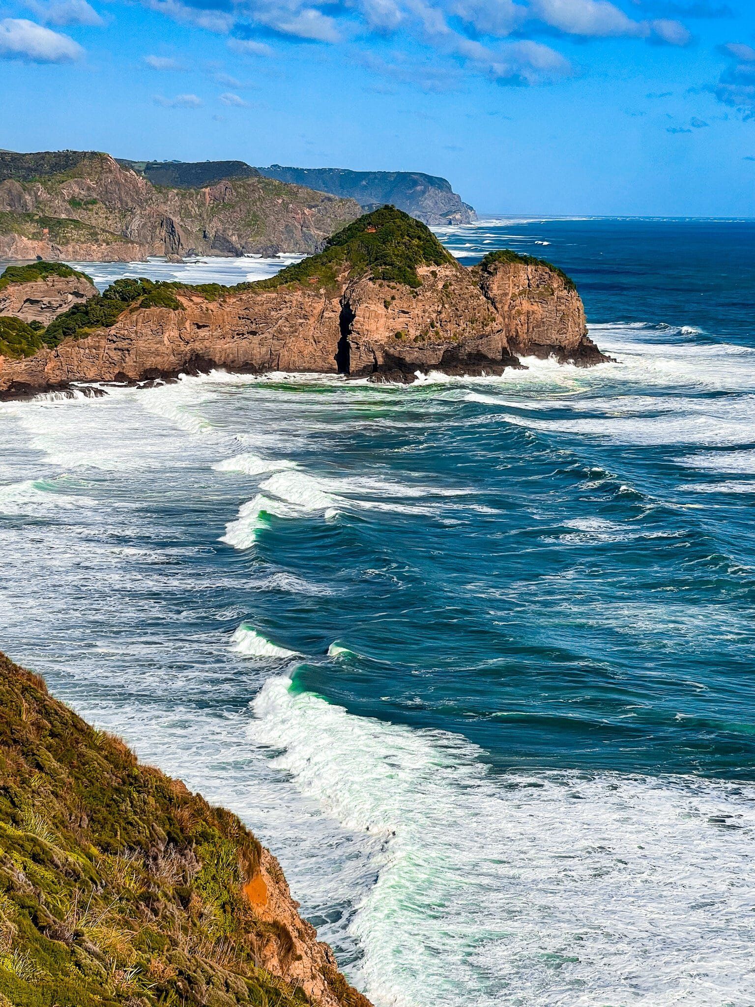
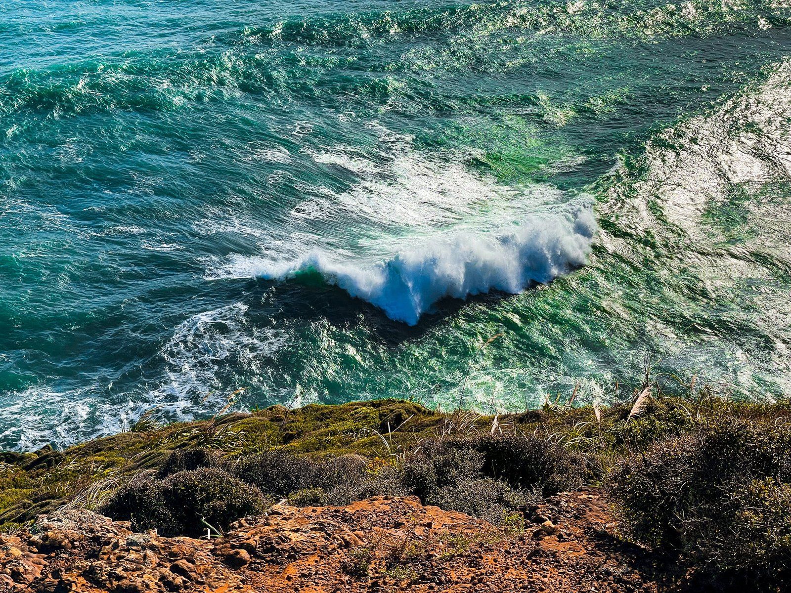
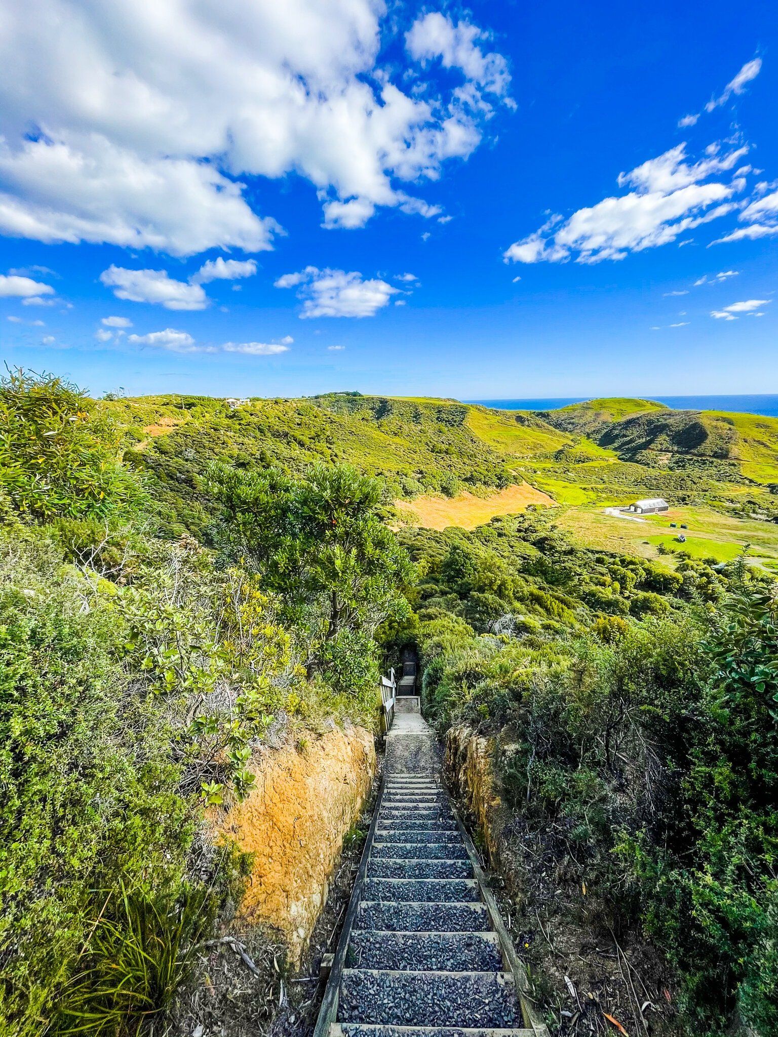
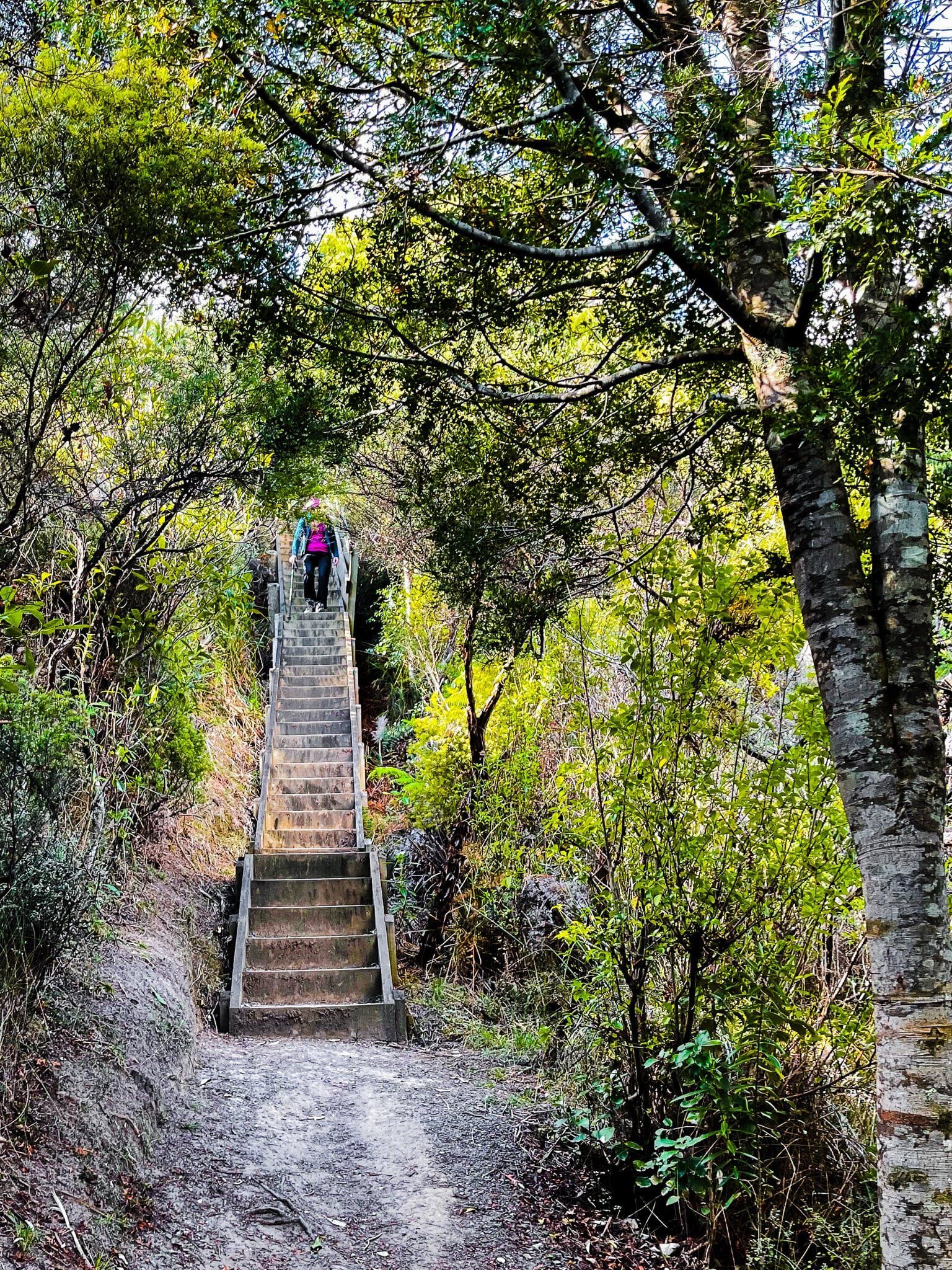
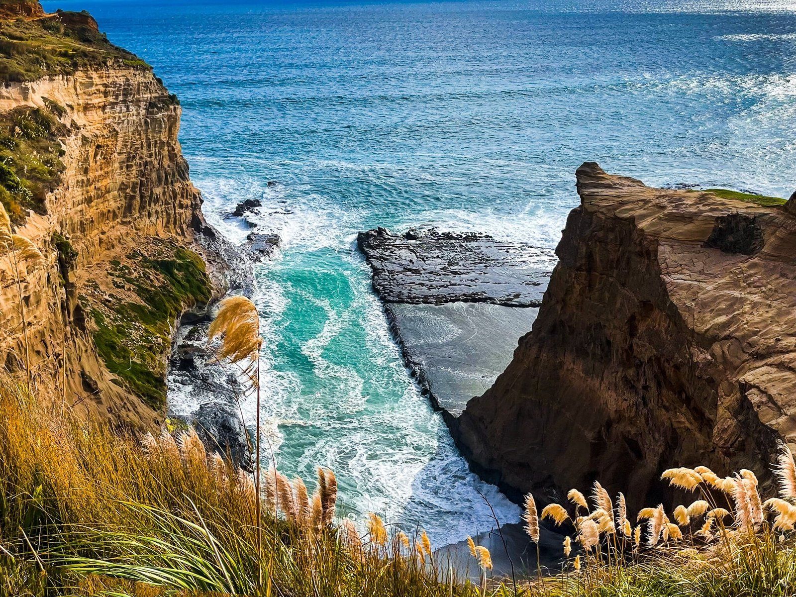
The north end access to the Te Henga Walkway is about 1 km along Constable Road from Oaia Road. There are a good number of steep steps, as the walk first drops down 120 metres before a mostly flatter section to the coast above Bartrum Bay. From there, you get a spectacular view north along the cliffs towards the gannet colony and Muriwai.
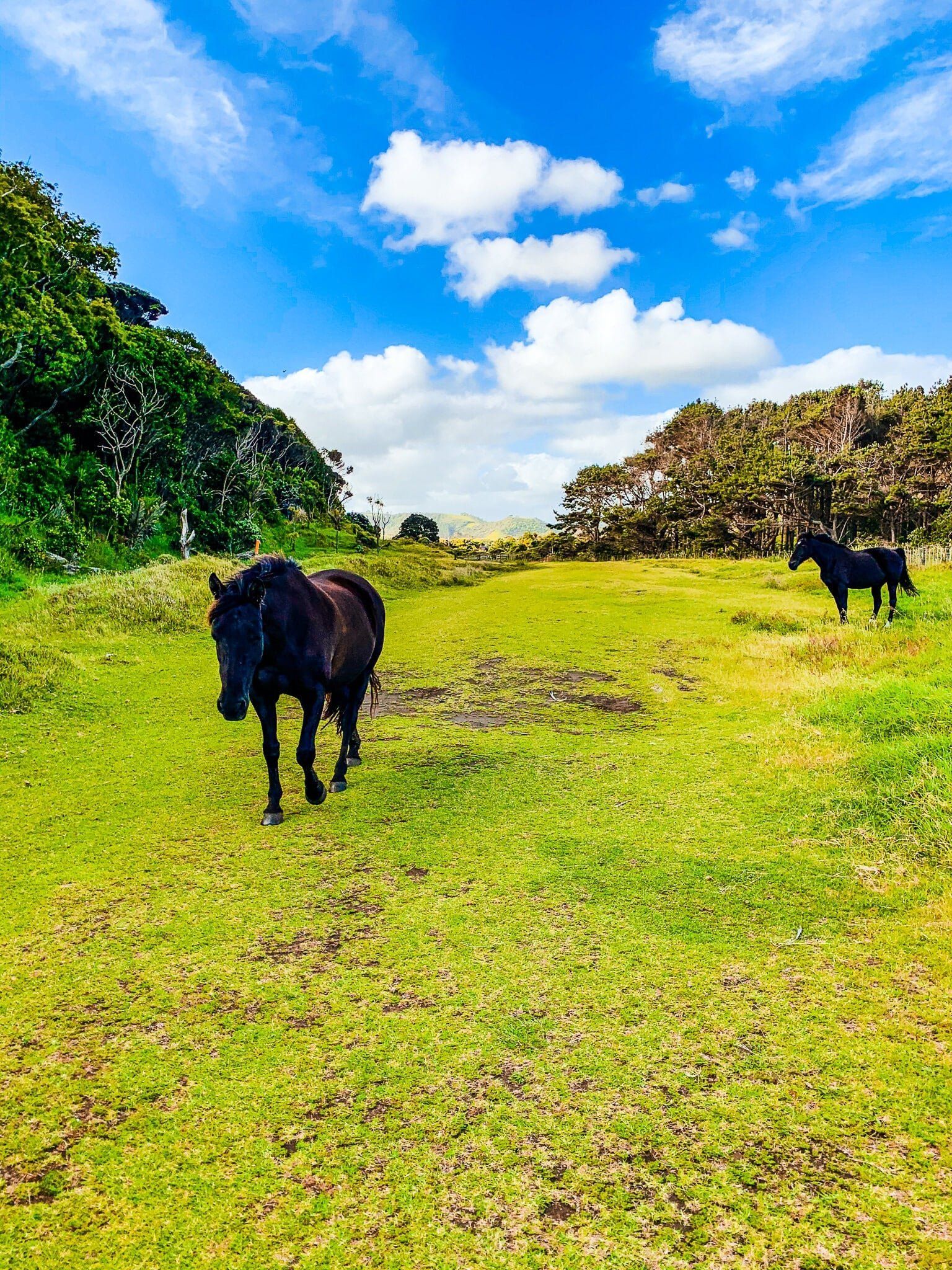
The walk is mostly through rural farm land and at only about 2 kms, it only takes about 20 minutes or so to get to the coast.
From there you can explore the spectacular cliffs before the track is closed off.
Tirikohua
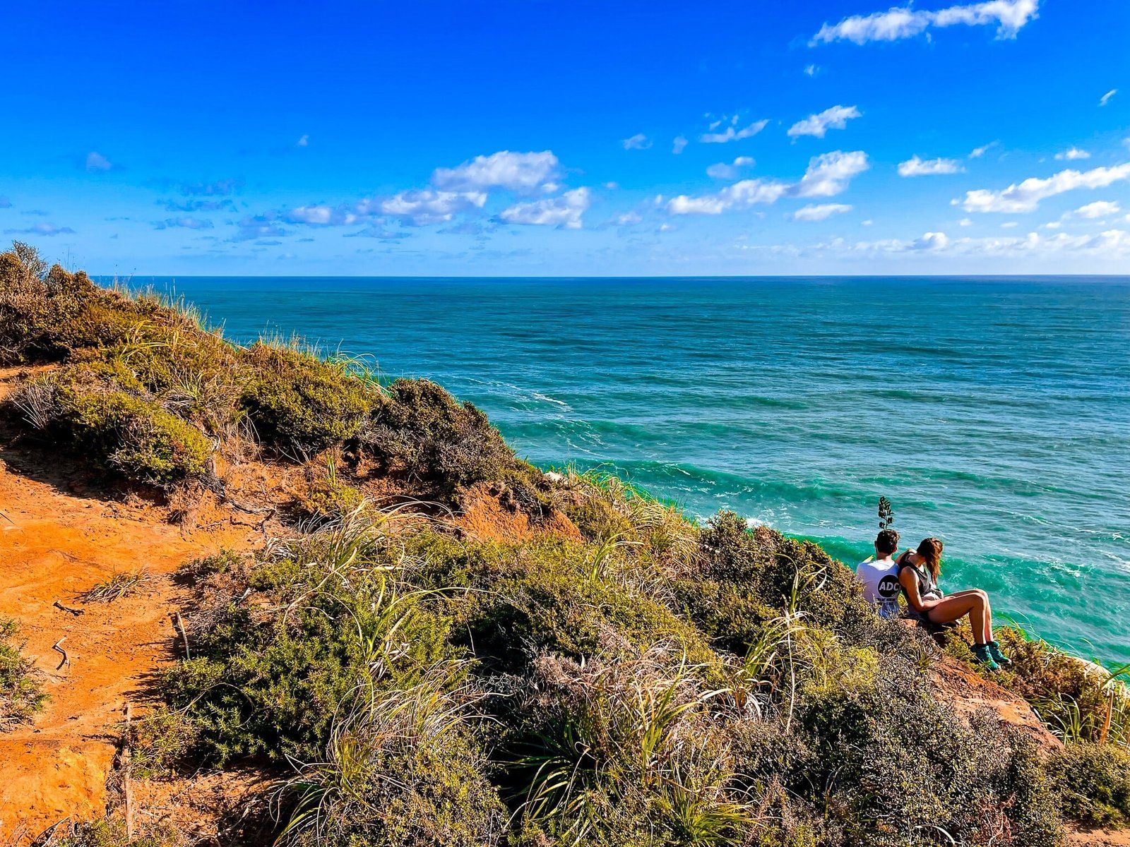
Depending on exactly where the the Te Henga Walkway is closed, you may be able to explore around Tirikohua Point, immediately to the south of Bartrum Bay. This is a very colourful section of the coast with orange and yellow clays and several superb viewpoints, including a grassy north facing area above the cliff for a picnic.
Want more Trip Ideas?
Check out our blogs on the Hillary Trail Te Ara Tūhura Part 1 and Part 2.
