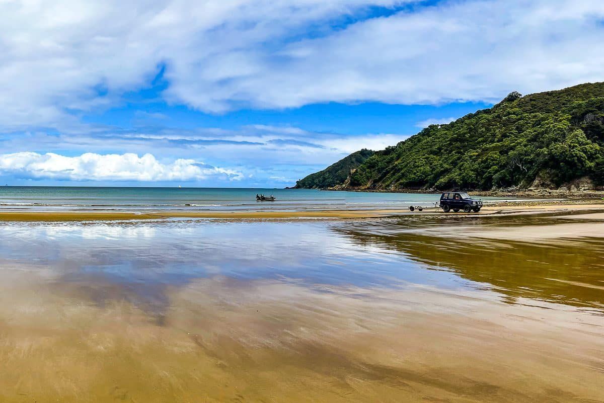
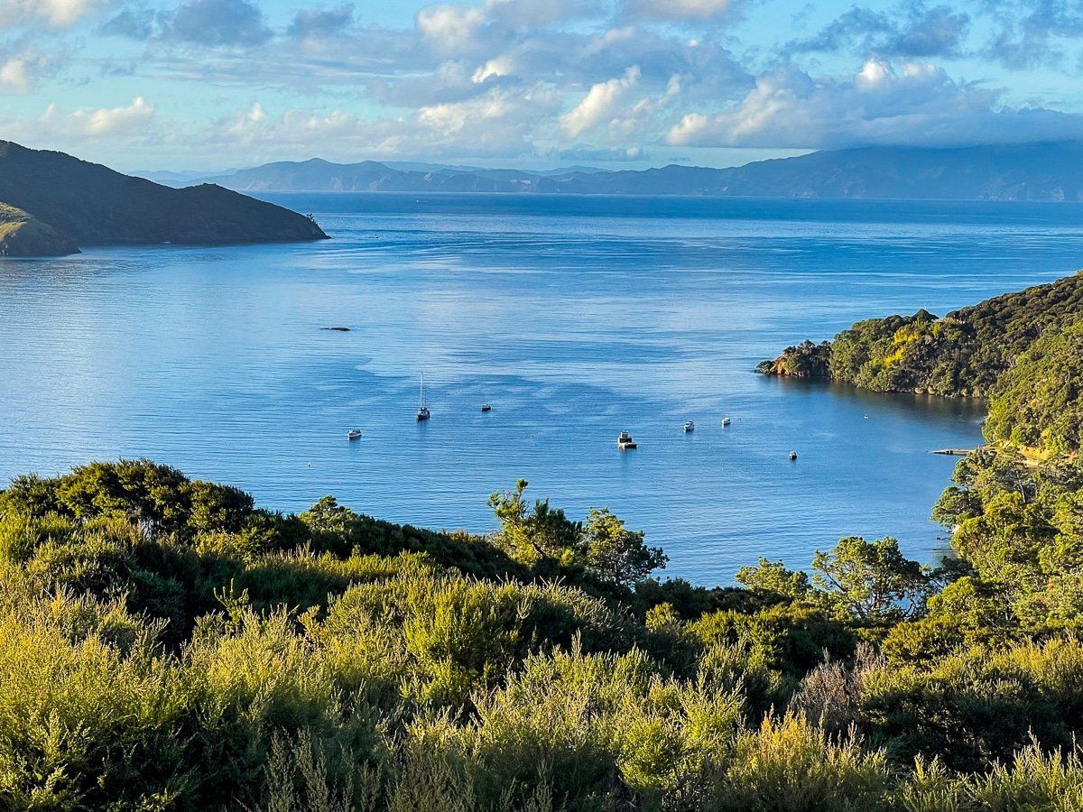
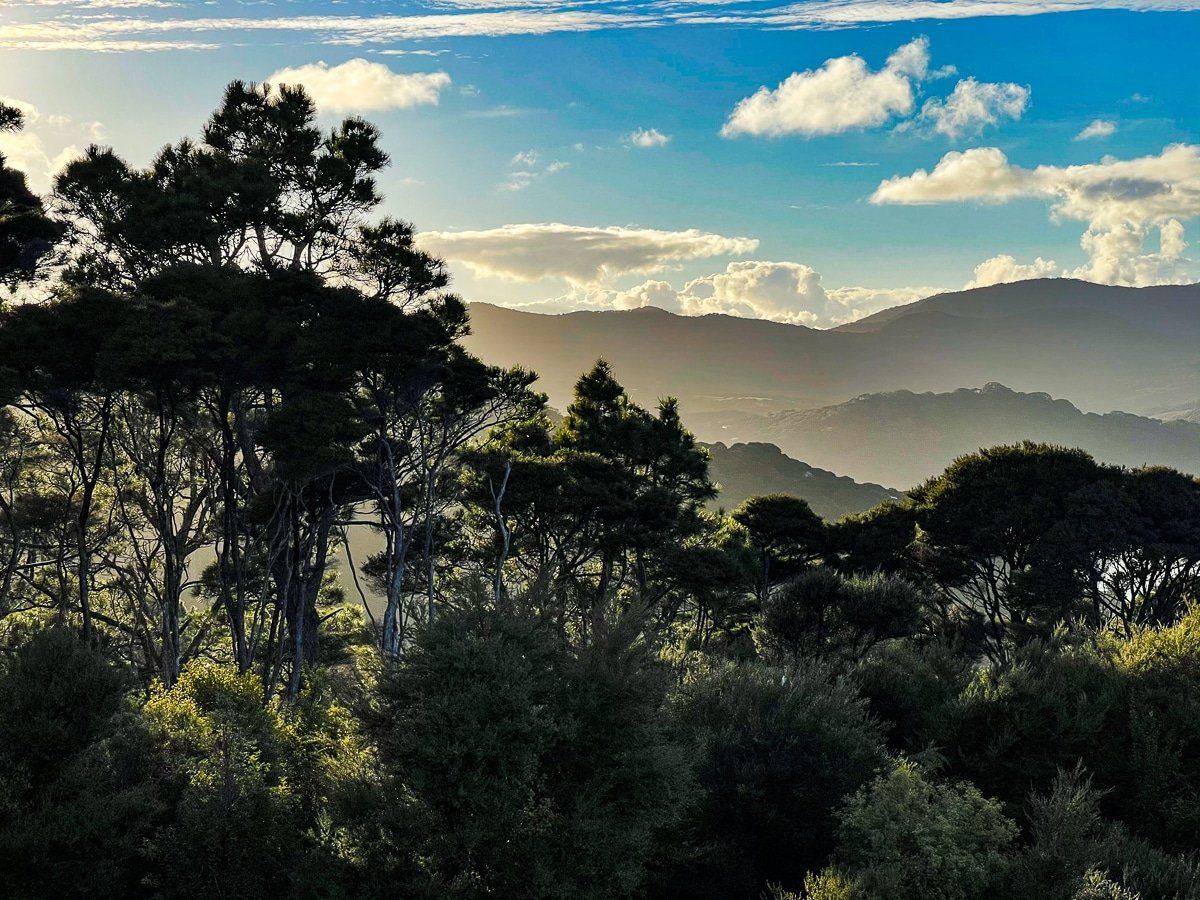
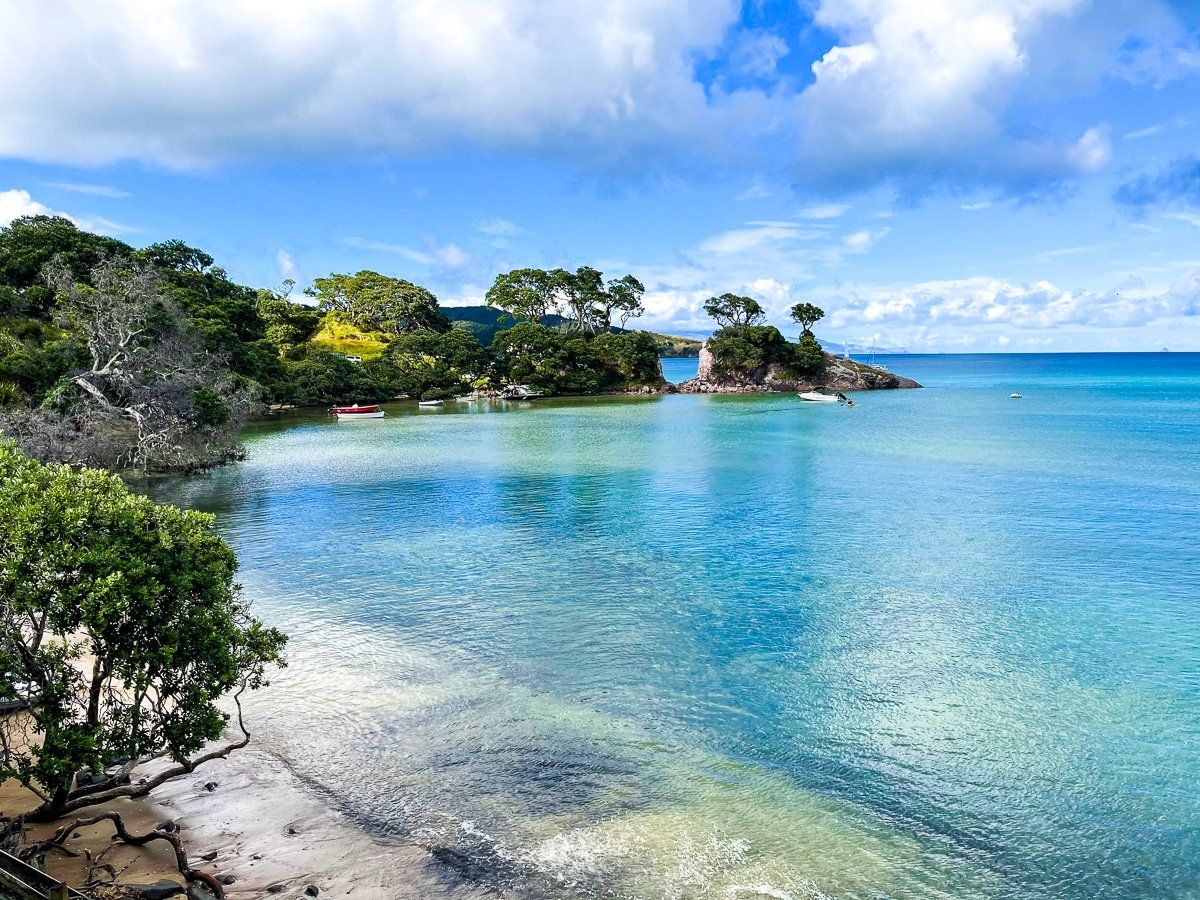
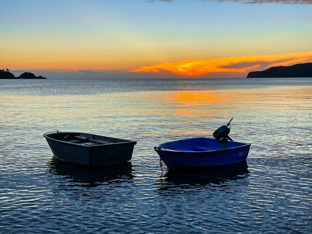
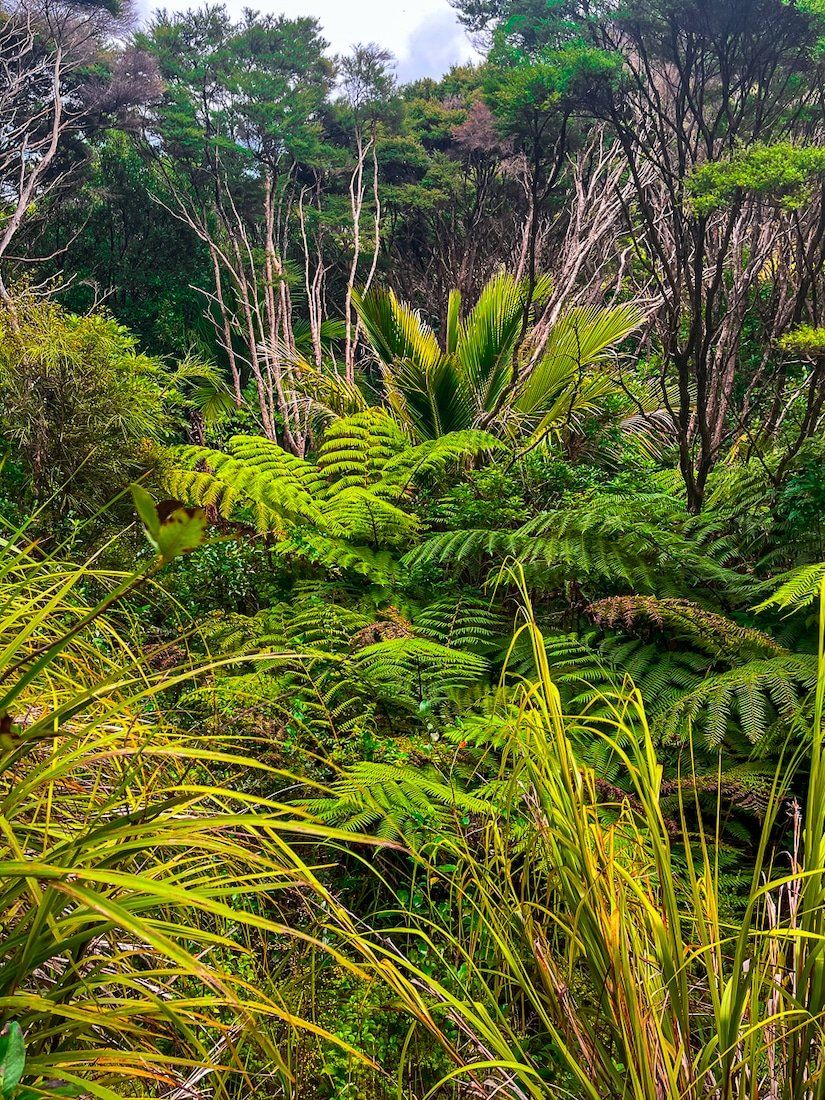
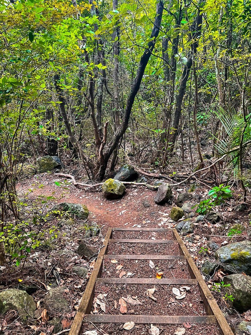
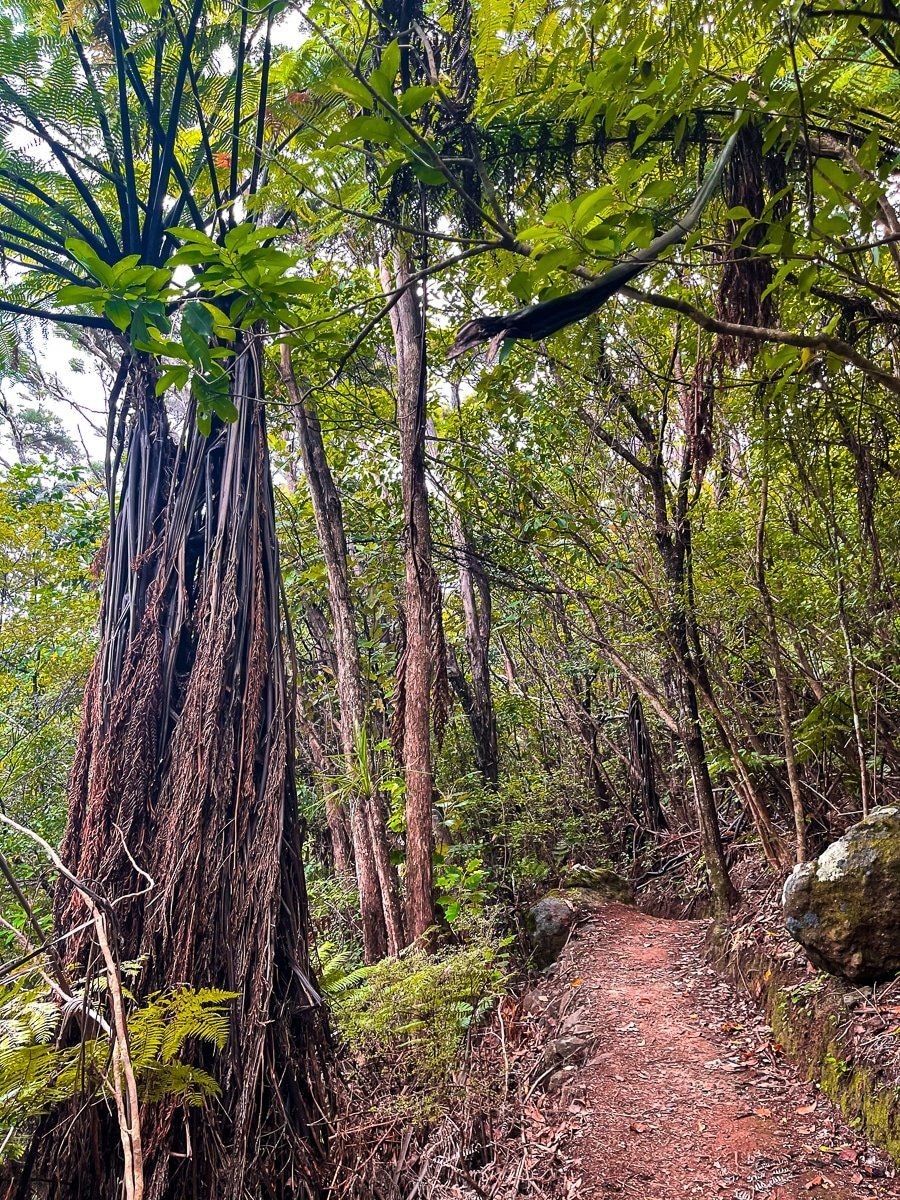
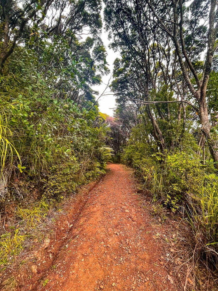
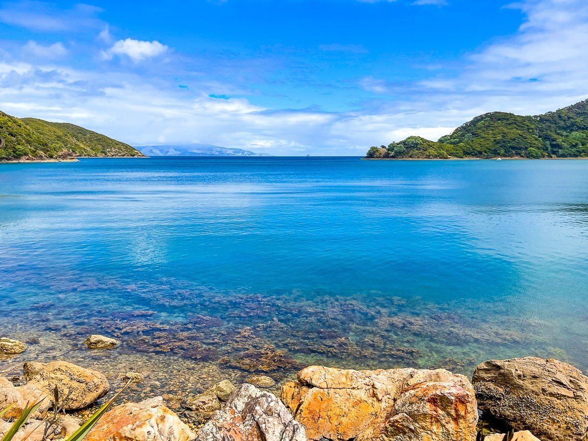
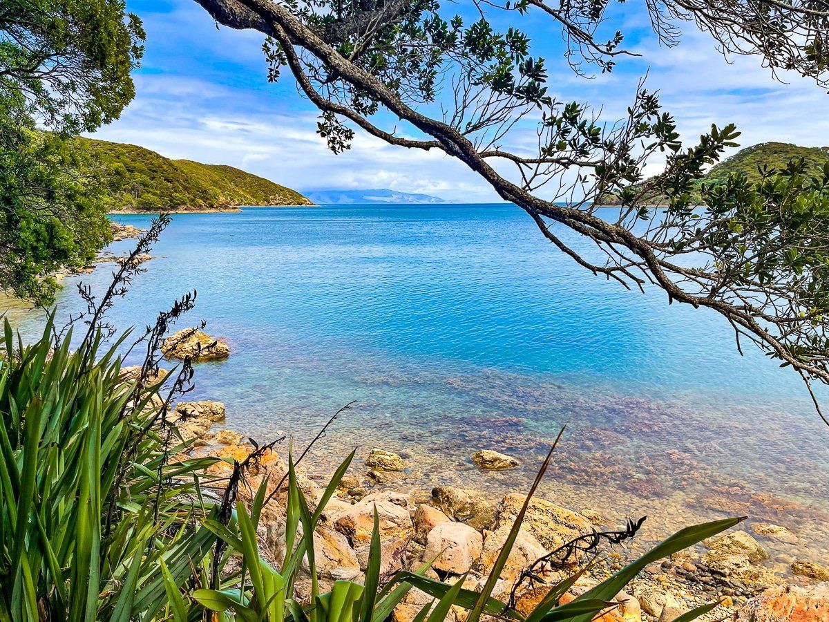
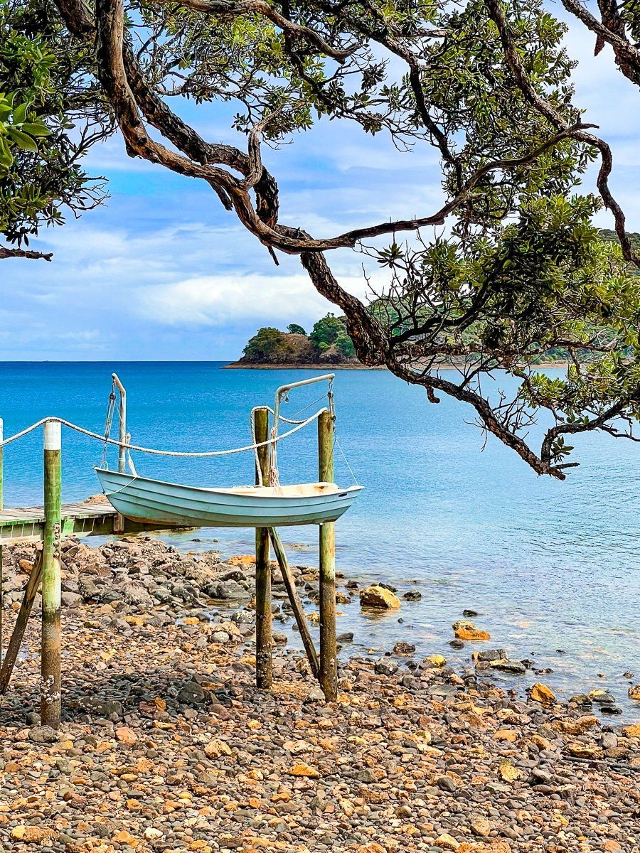
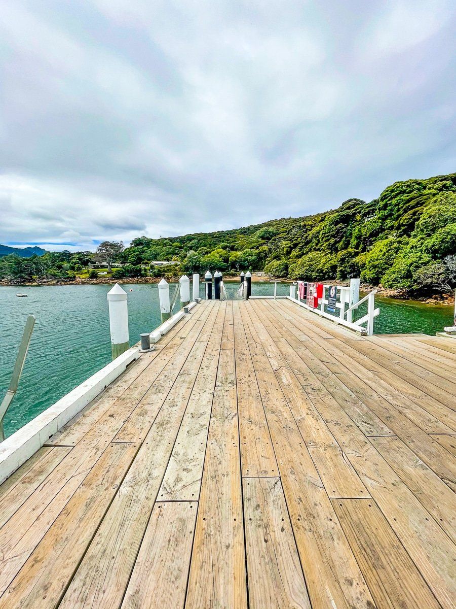
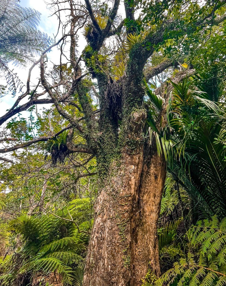
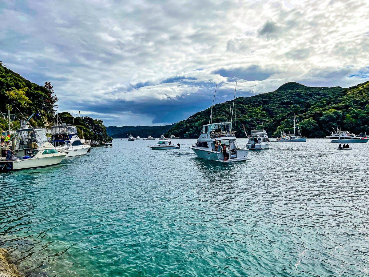
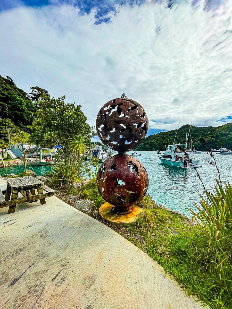
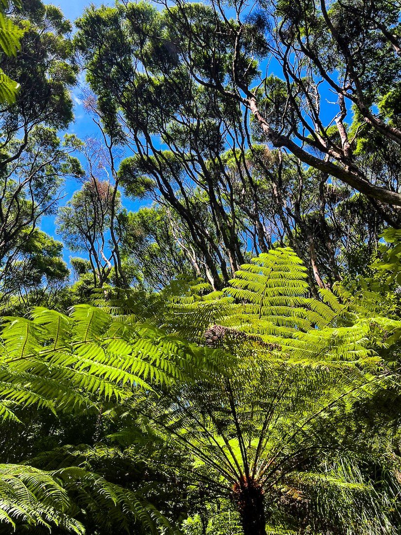
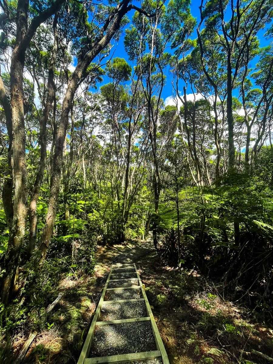
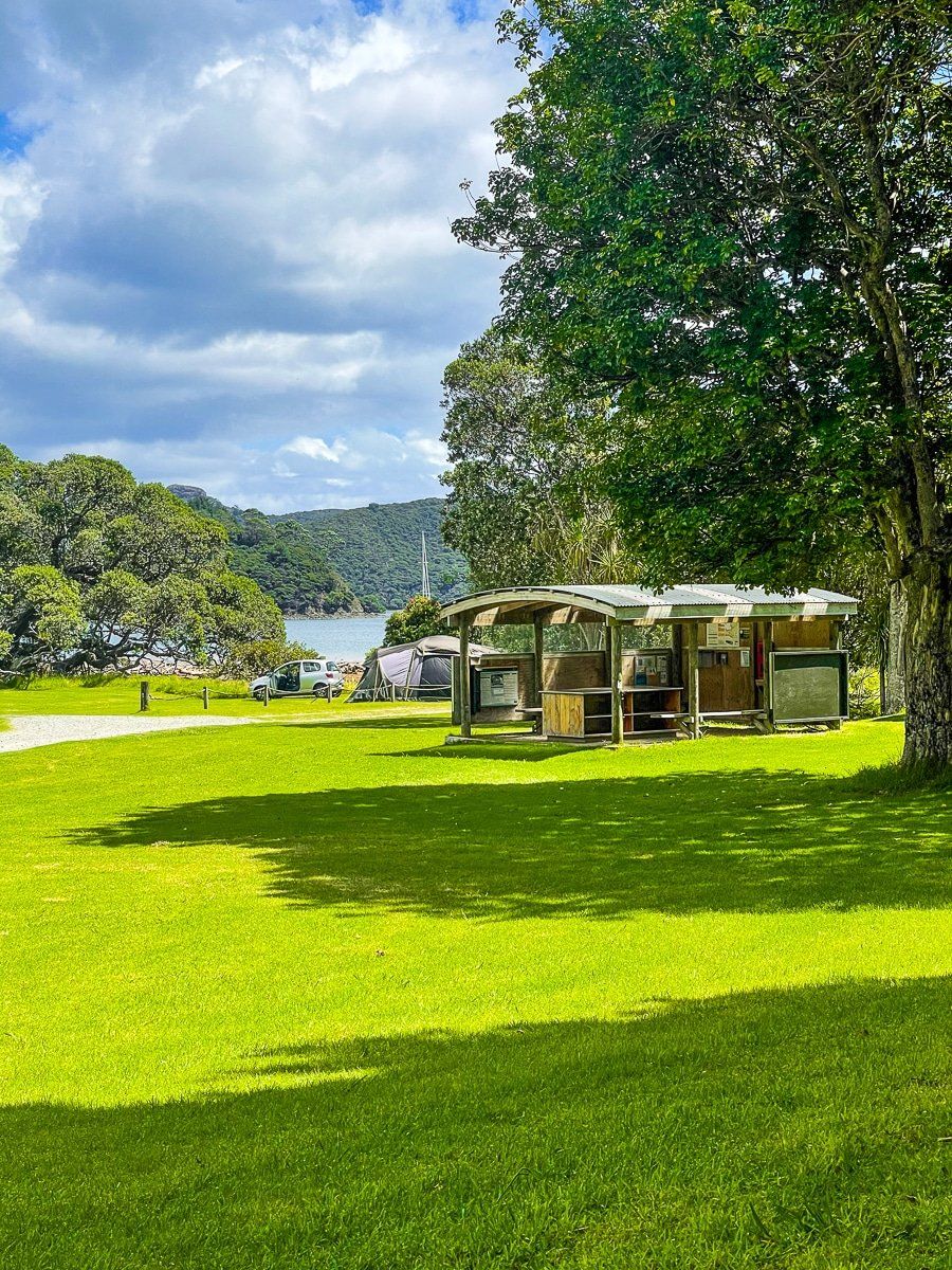
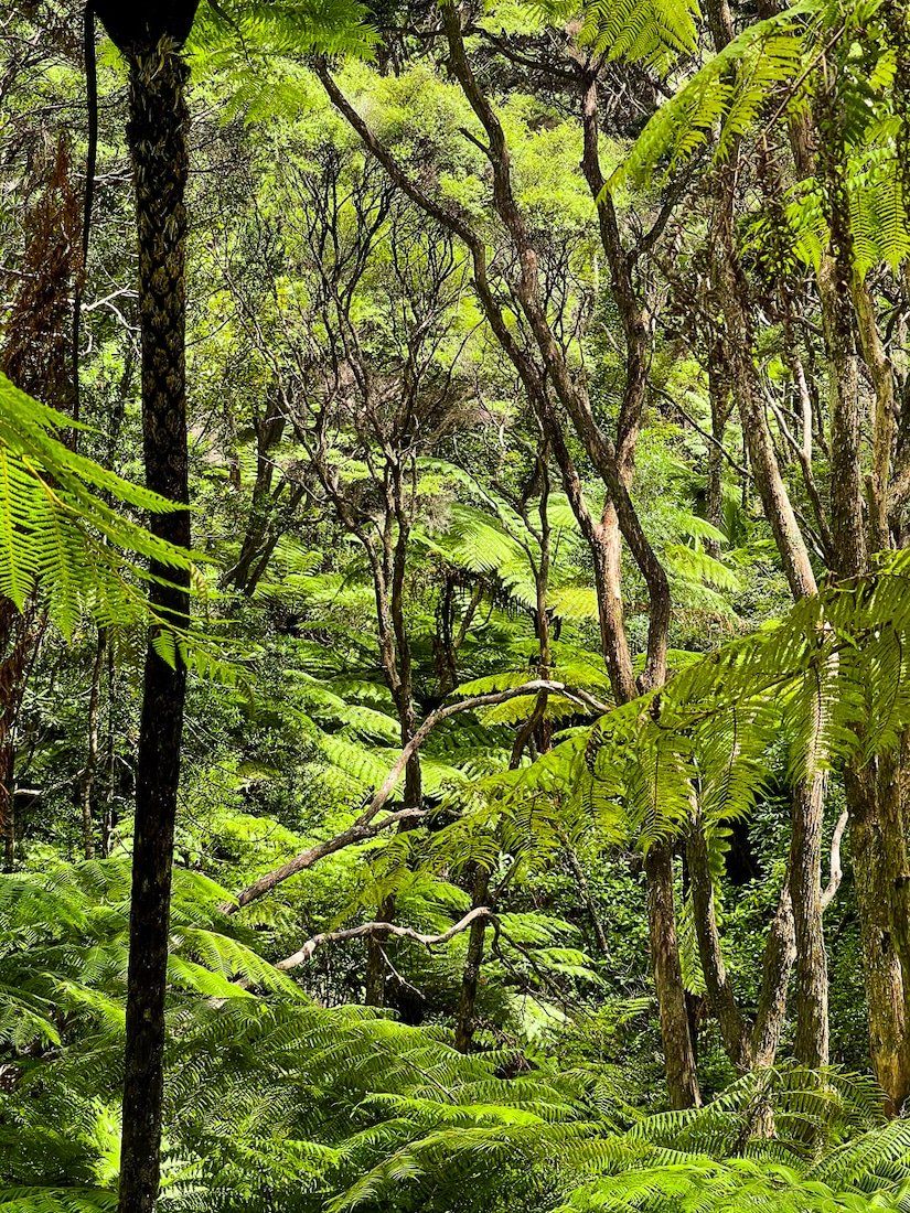
The western side of Great Barrier Island Aotea, which faces the Hauraki Gulf, is dominated by several harbours. There are houses scattered around each harbour, with access by roads that wind up and over the ancient volcanic range, and a couple of shops and several eating places in Tryphena, Fitzroy and Whangaparapara. If you’re eating out, check opening hours and whether you need to book.
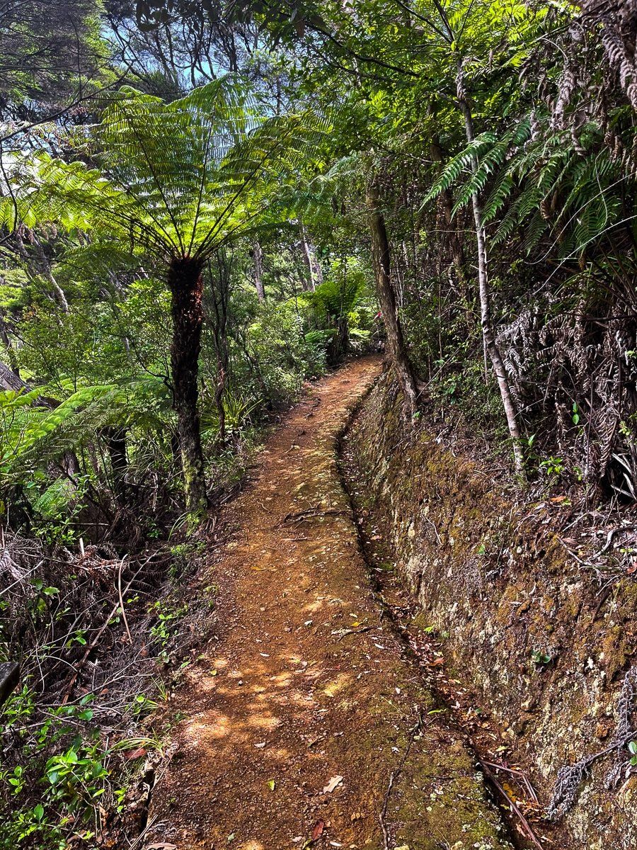
There’s also access to the harbours via hiking trails, which vary from 30 minutes walks to the multi-day Aotea Track.
Tryphena
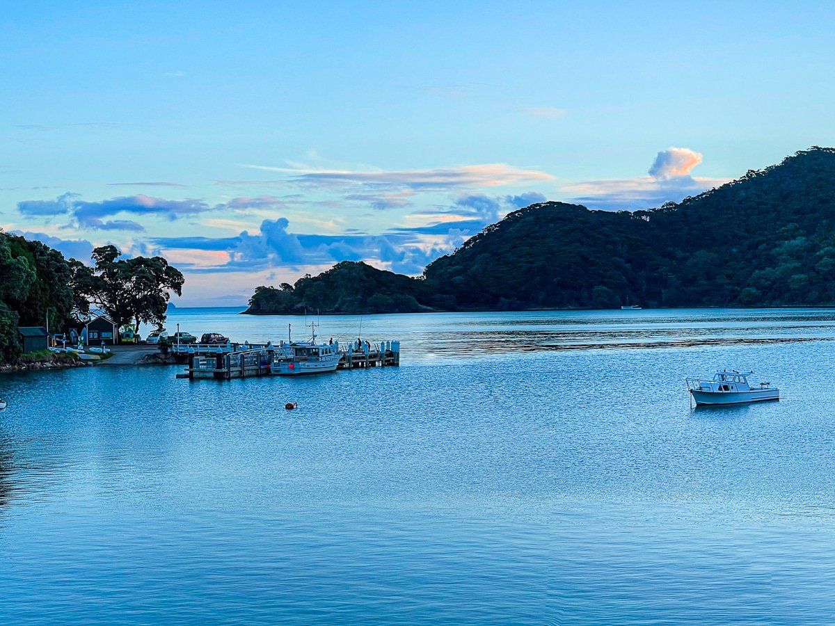
Tryphena is a wide, relatively open bay with small hamlets at Gooseberry and Mulberry, and a few houses and the main wharf at Shoal Bay. There are a couple of stores, a very good cafe, an Irish pub and takeaway joints.
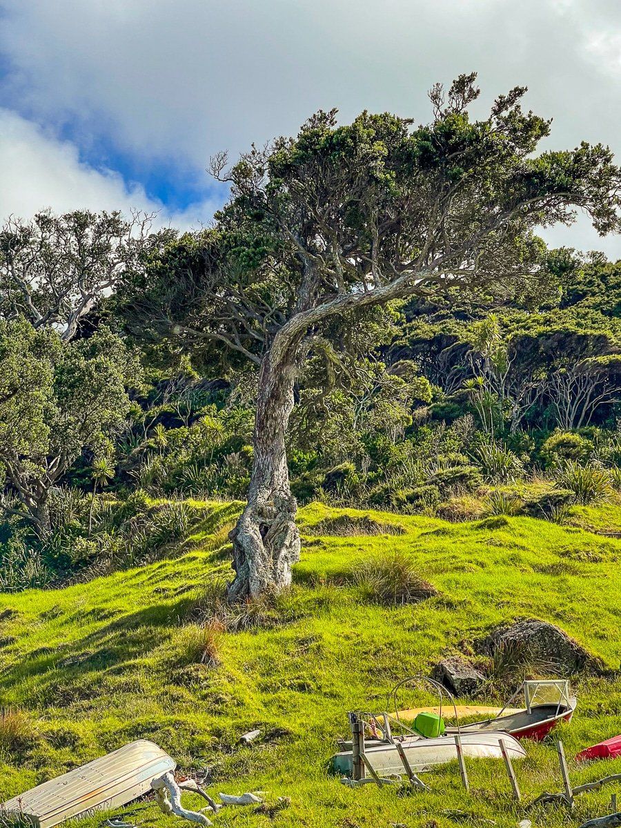
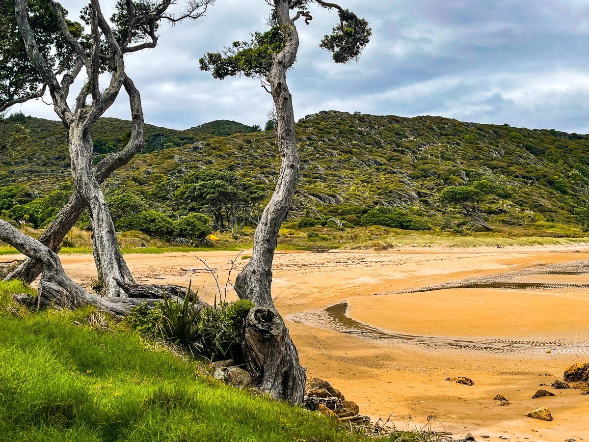
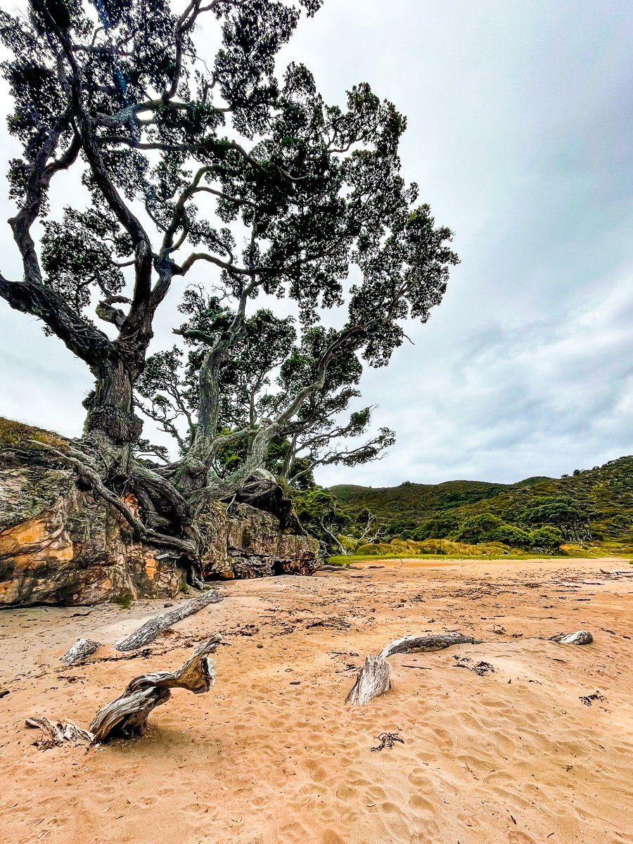
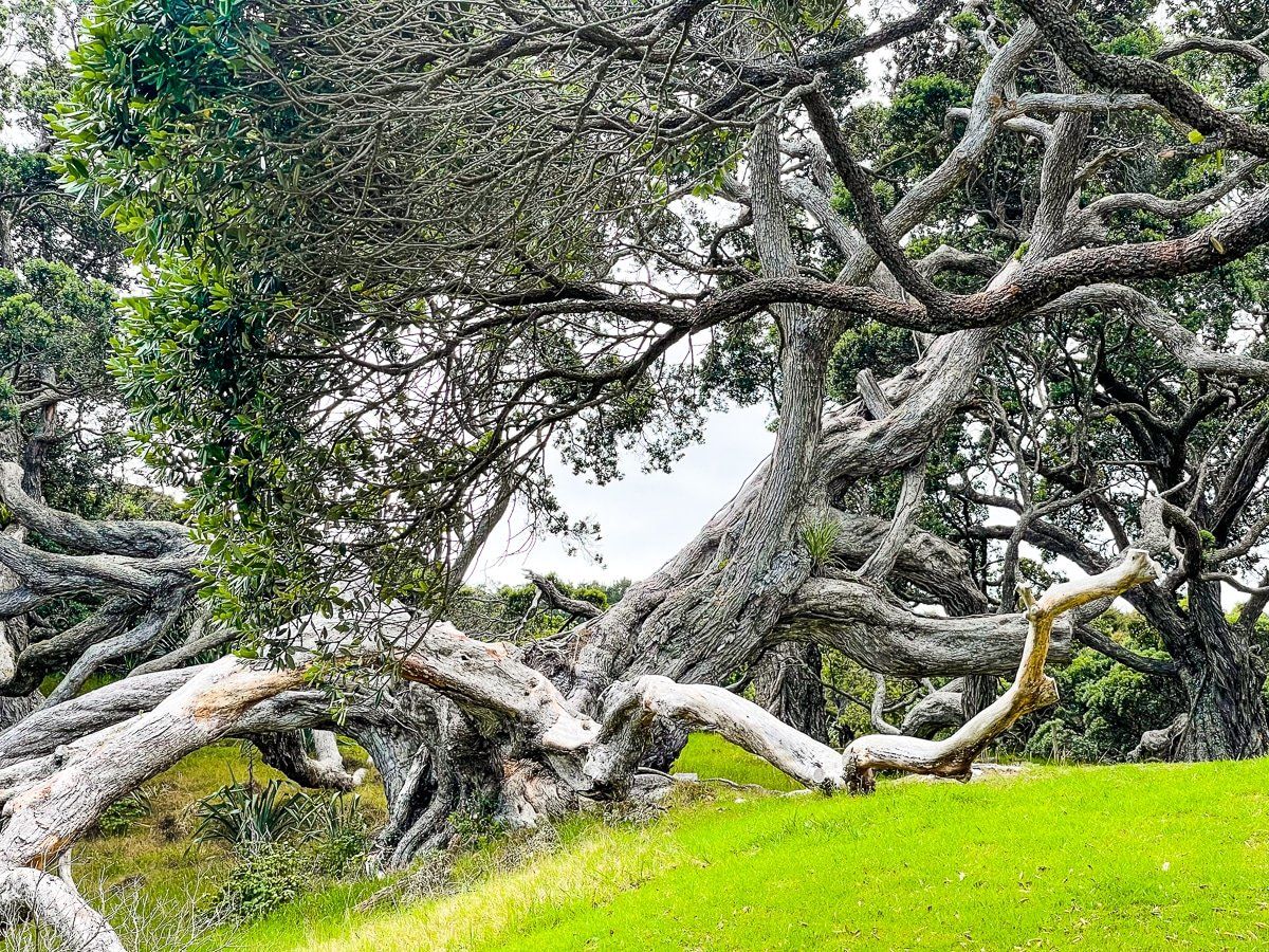
The main road and footpath follow the coast closely around the harbour. It’s a very pretty drive, with ancient pohutukawa trees, nice beaches between the cliffs, and good viewpoints.
Whalers Lookout
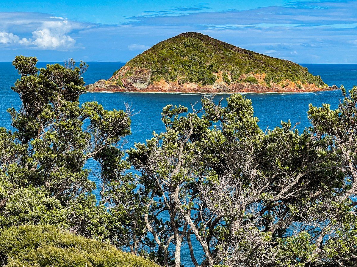
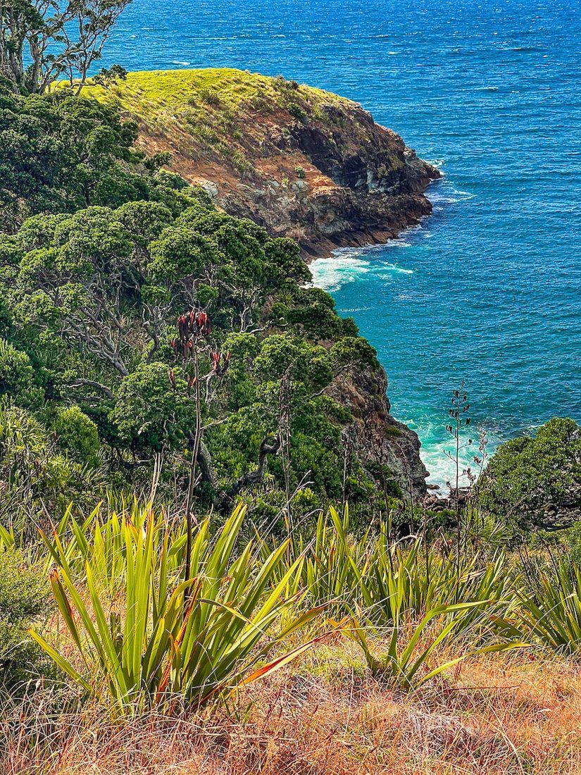
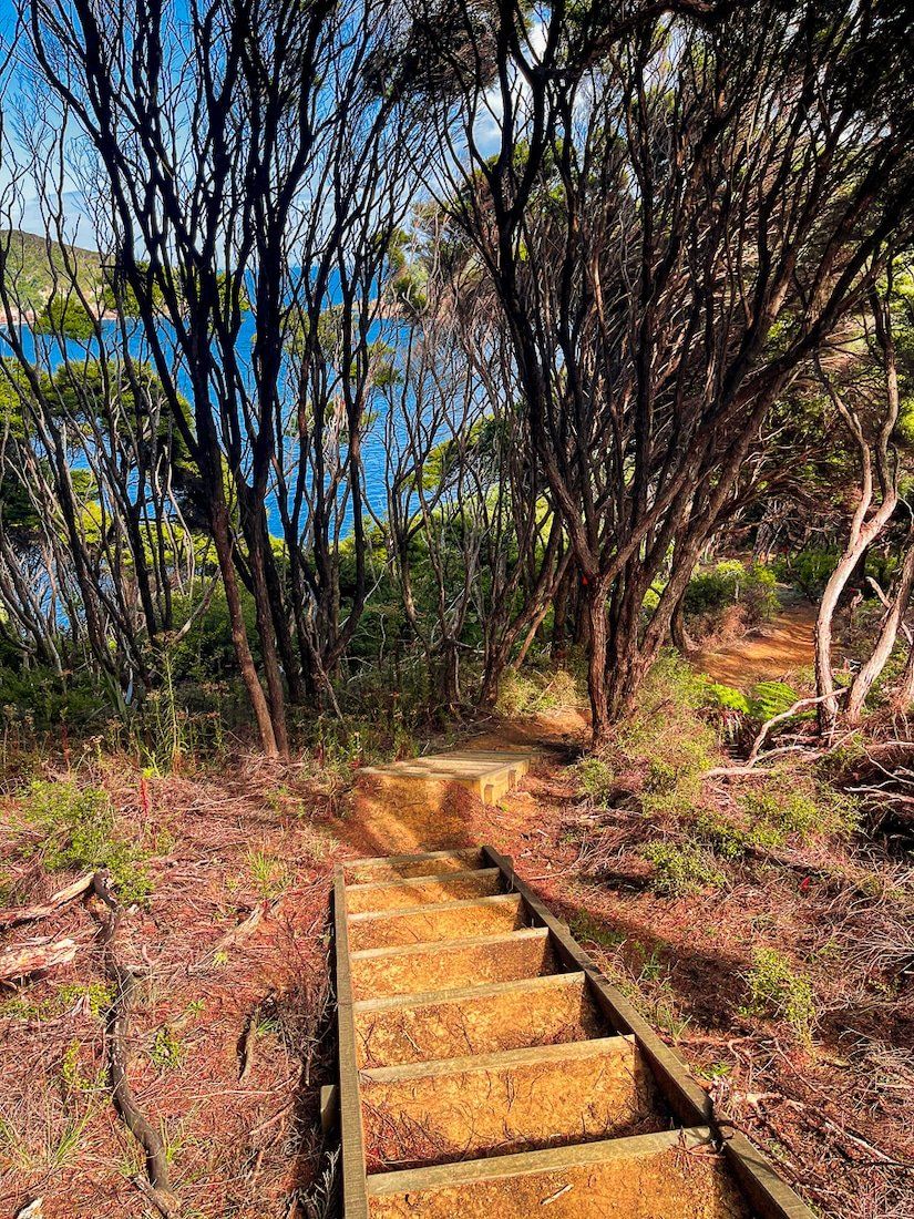
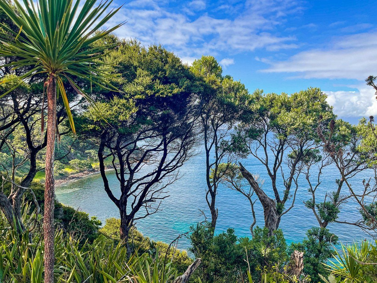
From Shoal Bay, you can take Cape Barrier Road to the Whalers Lookout and Ruahine Lookout tracks. Note that the road becomes narrow with only a gravel seal, and the last section of road is recommended 4WD only. From the parking area, follow the short track to Johnsons Bay, then hike for about fifteen minutes up onto Cape Barrier to find Whalers Lookout. Until the early 1960s, when whale hunting ended, the cape had an observation post to look for whales coming through the Colville Channel.
In winter and spring you may get to spot migrating whales, and seals appear around the bay from time to time. You can take a longer walk up to the Ruahine Lookout, and there are a couple of other walks from Cape Barrier Road to the coast.
Station Rock
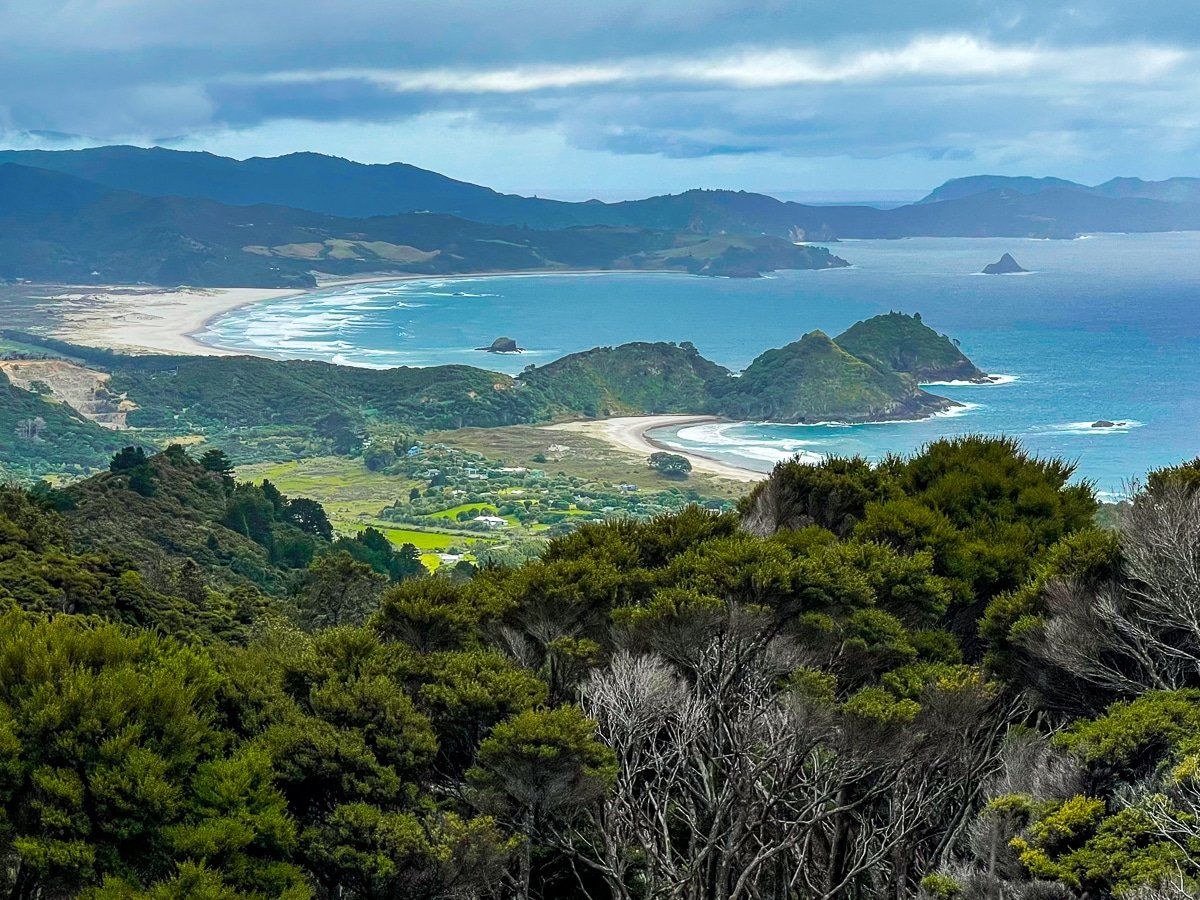
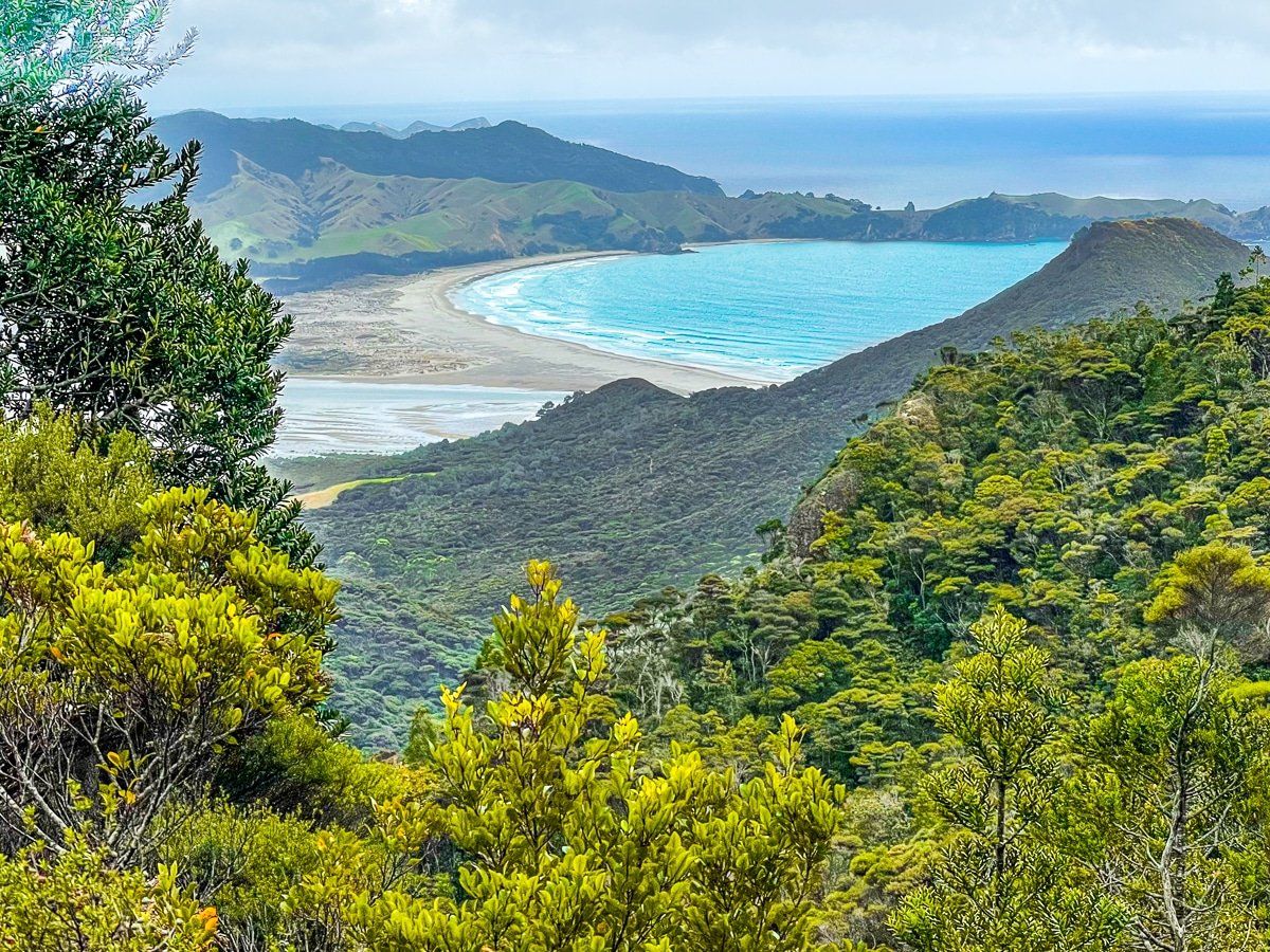
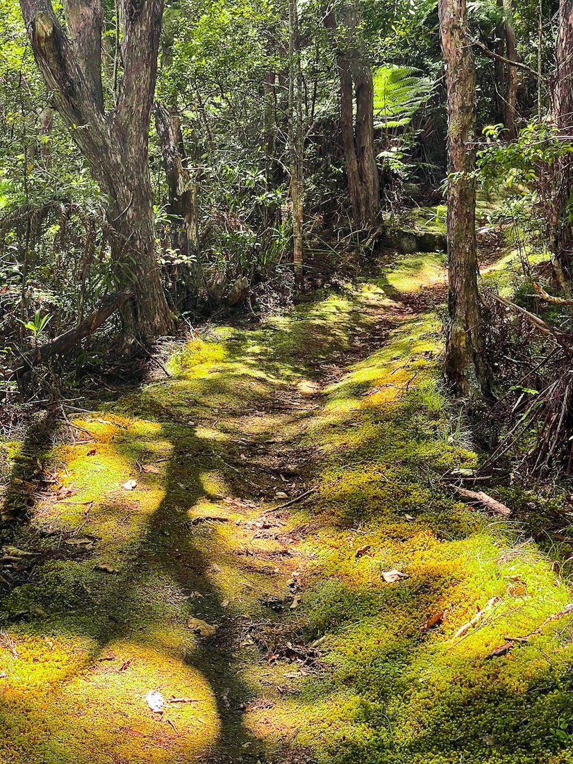
Station Rock is a short walk – about 30 minutes return – halfway between Tryphena and Melands. It starts in forest regrowth, leading to a high point next to a cell tower. The view is spectacular, looking towards Medlands Beach and Tryphena.
Okupu, Blind Bay
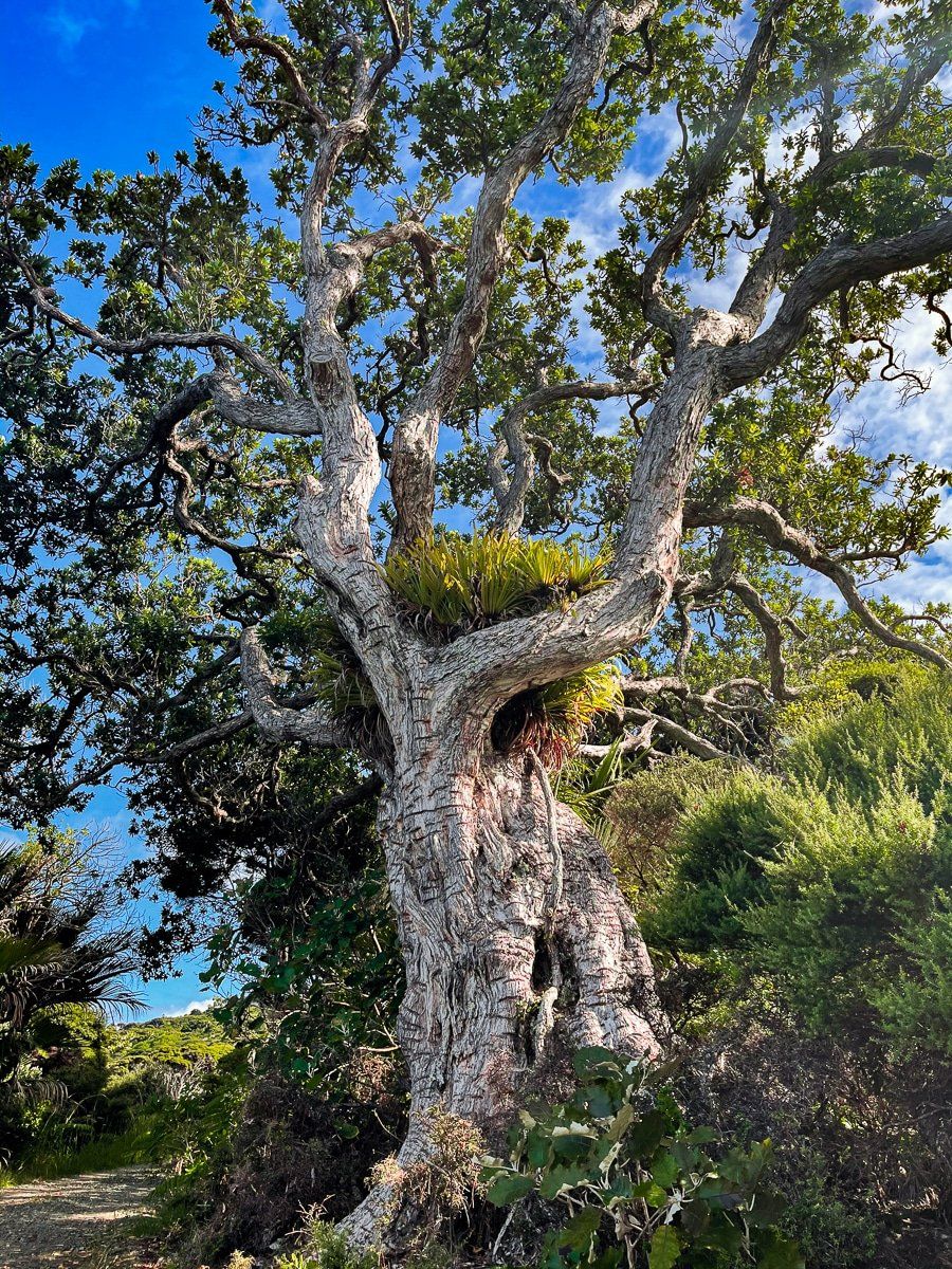
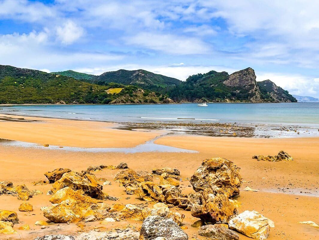
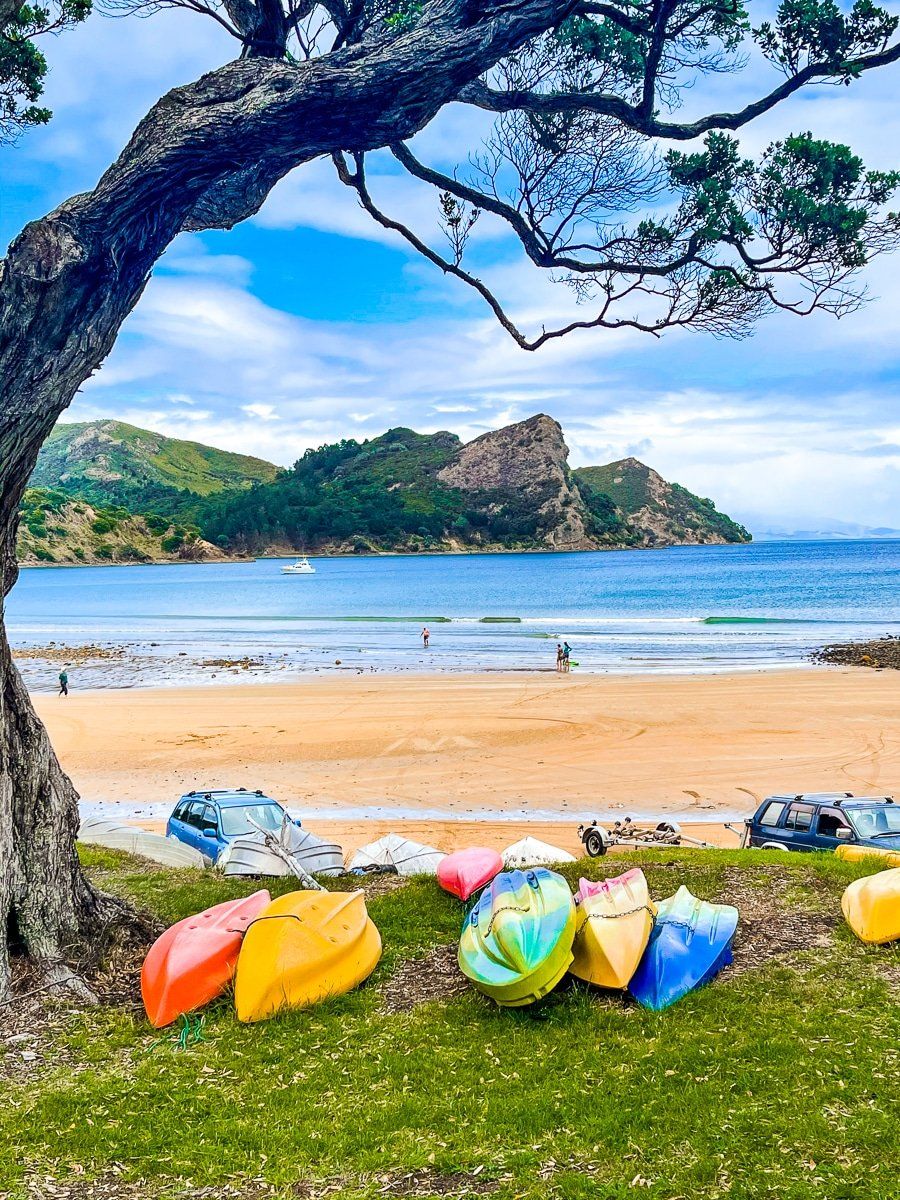
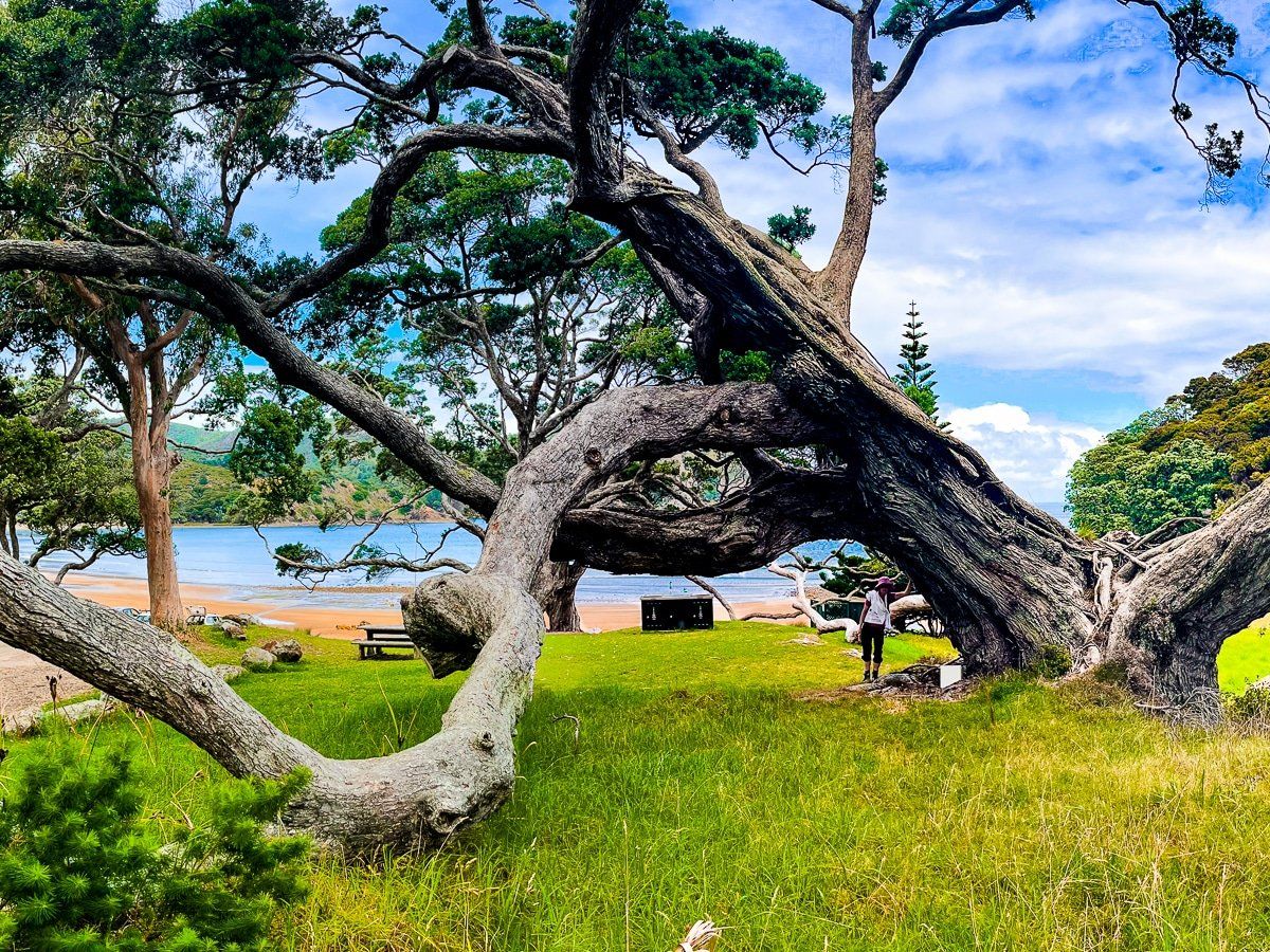
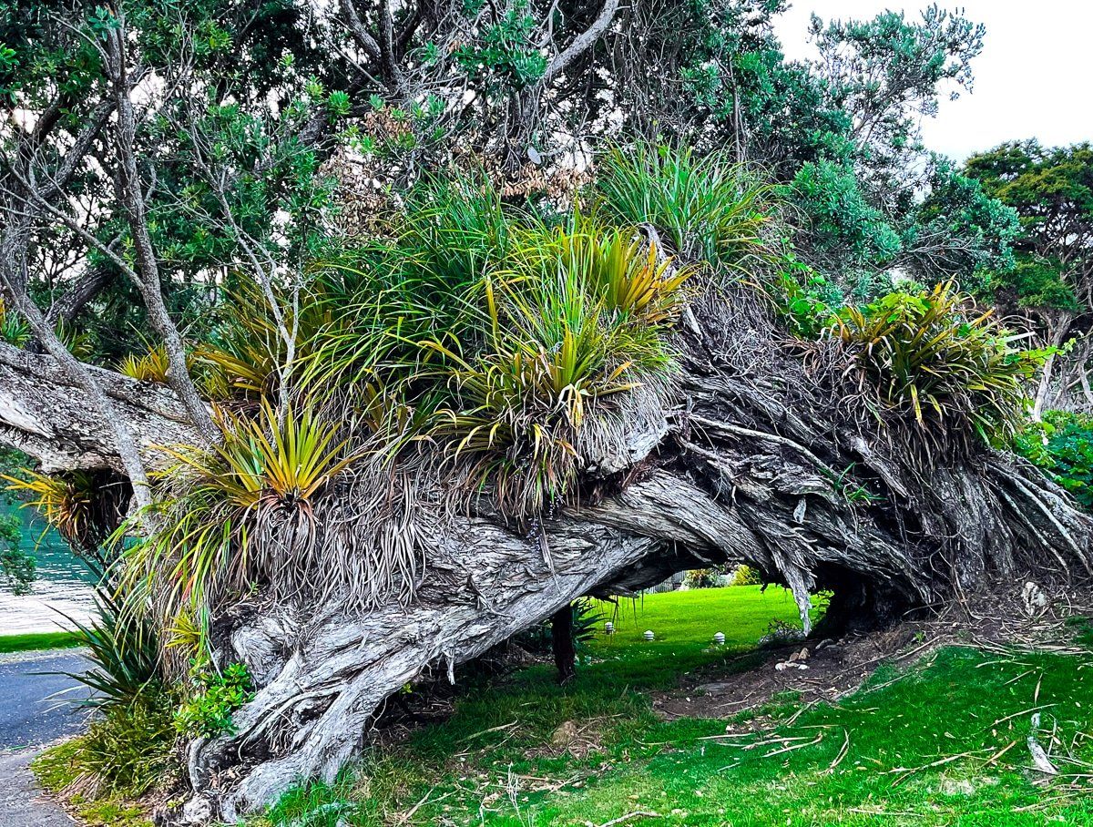
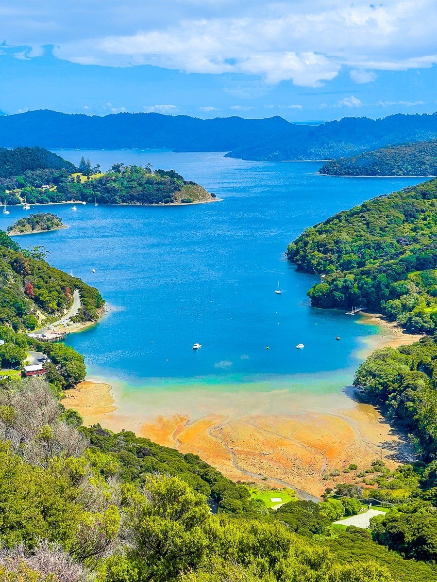
Okupu or Blind Bay is a very pretty bay, with a number of large, ancient pohutukawa trees around a grassy picnic area above the beach. One of the trees is truly spectacular, although it is not the biggest pohutukawa tree in New Zealand – that honour goes to a tree above Judges Bay in Auckland.
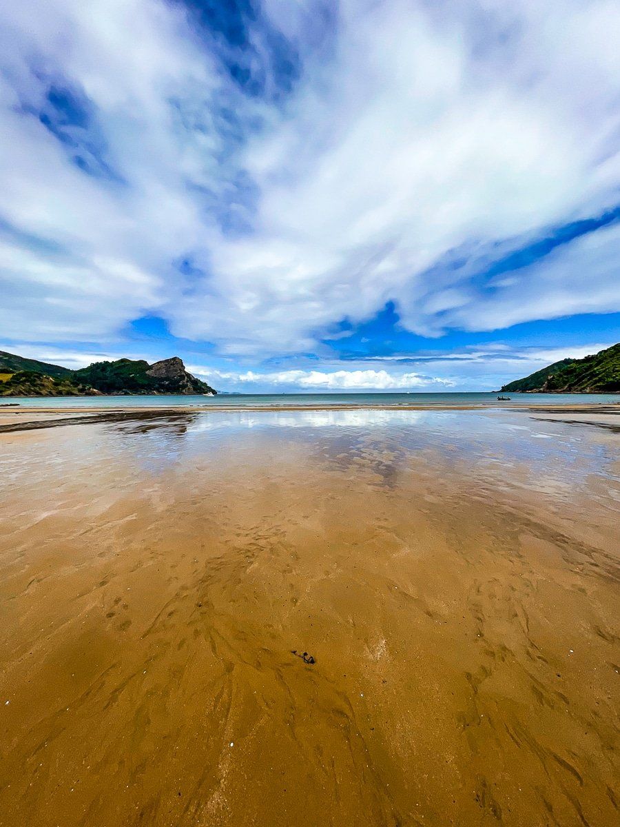
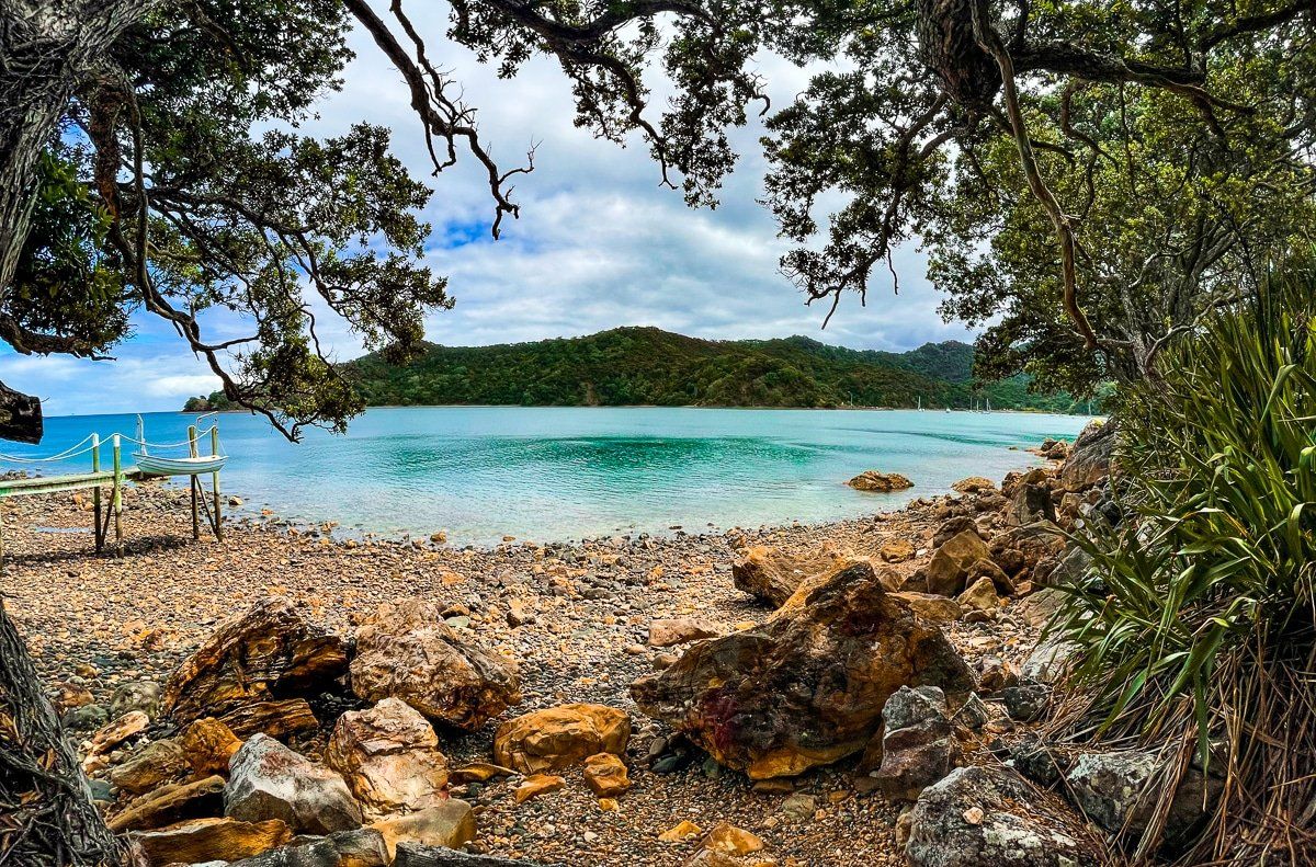
The beach has orange rocks and sand, and rock pools to investigate at low tide. As a sheltered bay, it’s safe to swim and easy to get a boat in and out. There are no shops in Okupu, so if you intend to picnic get food in Tryphena or Claris.
Access to Okupu or Blind Bay is on Blind Bay Road; take a left turn just past Claris. About halfway along the road you can also get to the Te Ahumata Track, a two to three hour walk that crosses over to Whangaparapara Road.
Whangaparapara
Access to Whangaparapara is from Whangaparapara Road, with a turnoff just beyond Blind Bay Road. Along the road are several points of interest, starting with the Kaitoke Hot Springs track, then the remains of a stamping battery for gold mining, and one end of the Te Ahumata Track.
Whangaparapara harbour itself is pretty and there’s access to several tracks just past the wharf, including the multi day Aotea Track via the Tramline Track. We walked back along the north west side of the harbour to the Green Campground and toward the remains of a kauri logging mill and whaling station – the track gets quite rough after the campground. There’s also a very good restaurant at Great Barrier Lodge, shortly before the Whangaparapara wharf.
Kaitoke Hot Springs
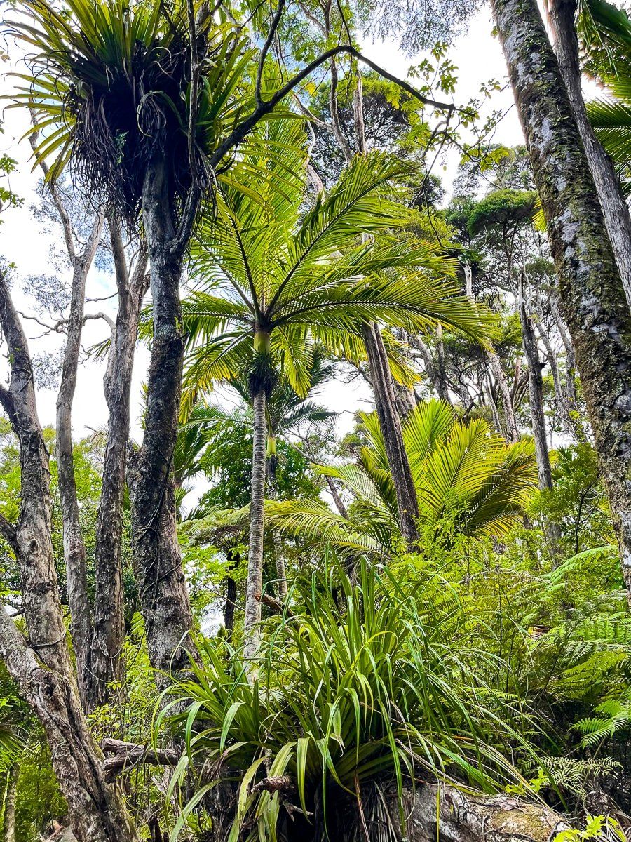
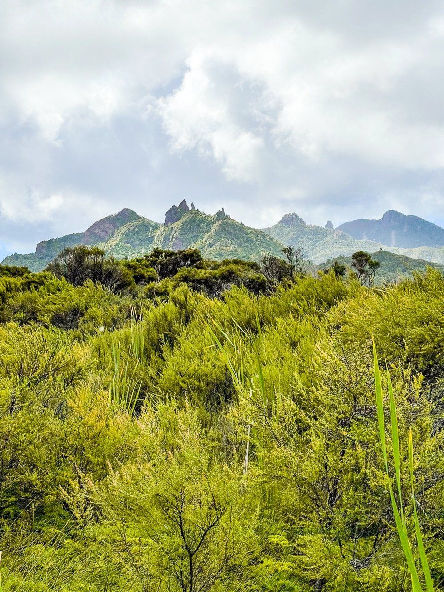
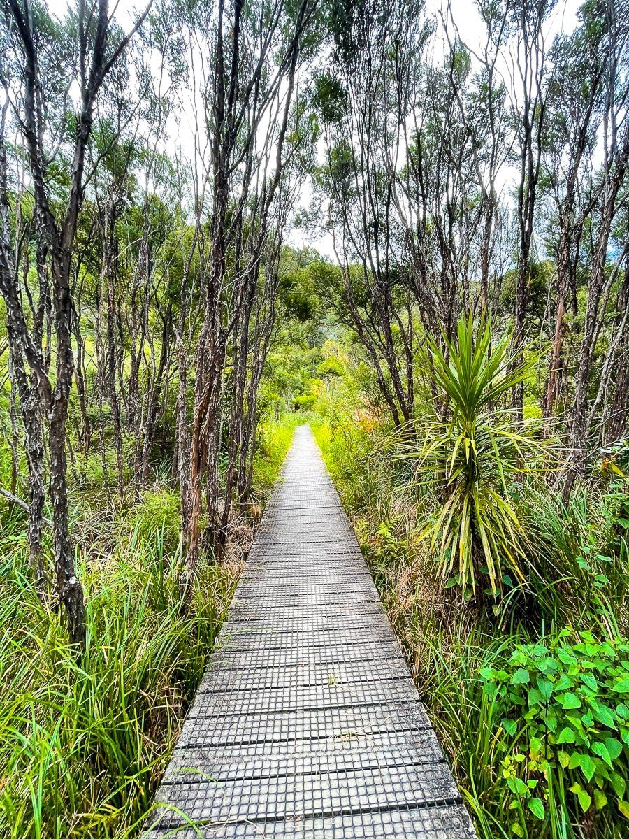
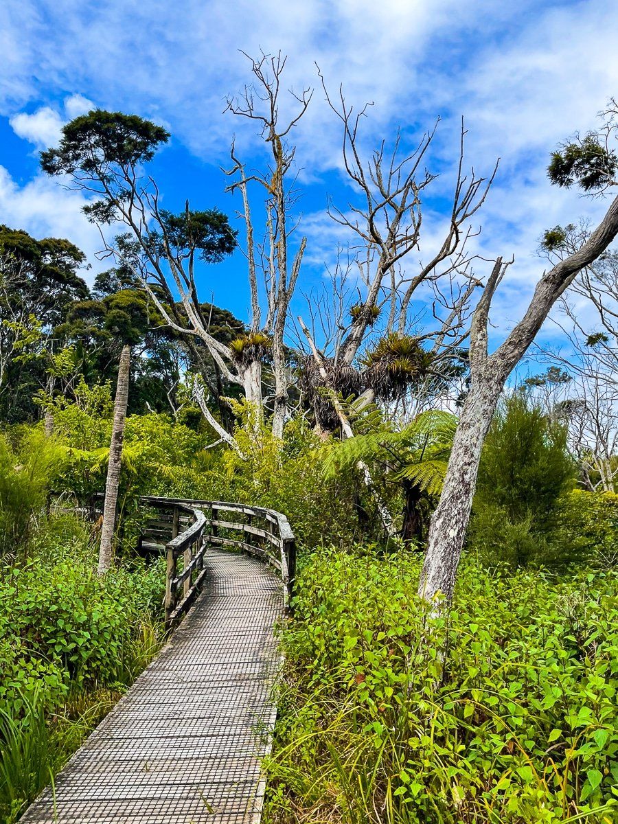
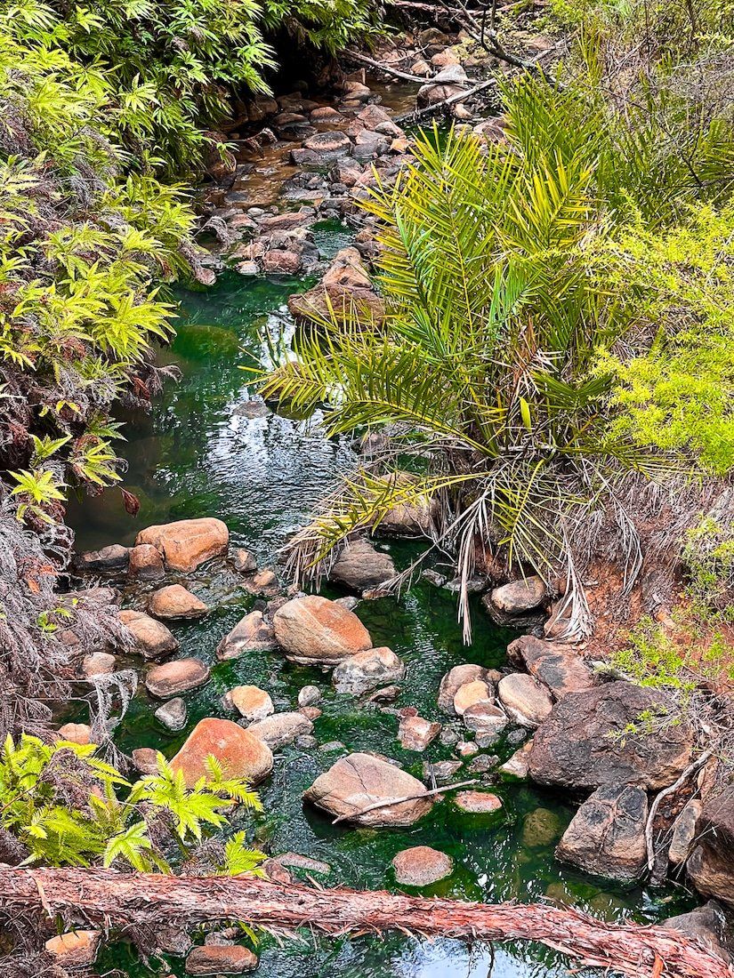
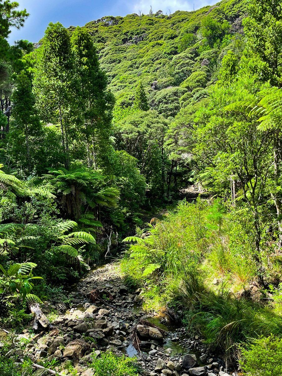
It’s an easy forty minute walk through the Kaitoke wetlands from Whangaparapara Road to Kaitoke Hot Springs. Forest is regenerating along the track, and at one point there’s a great view across the wetlands to several of the volcanic pinnacles around Mount Hobson.
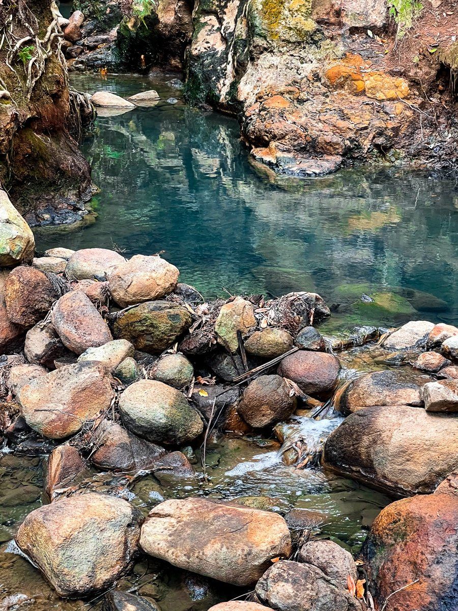
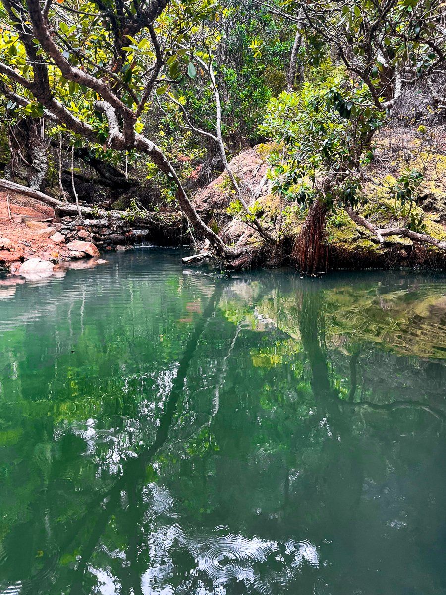
The hot springs are great and a nice shift in pace. When you get to the first pool, you can walk further along the track on the left side to a number of smaller pools.
If you cross the small bridge, the track links with the wider Aotea Track system and you can walk all the way to Mount Hobson – allow several hours one way. If you have done the Aotea, coming back down the track to the hot springs is a nice way to finish off.
Palmer Track
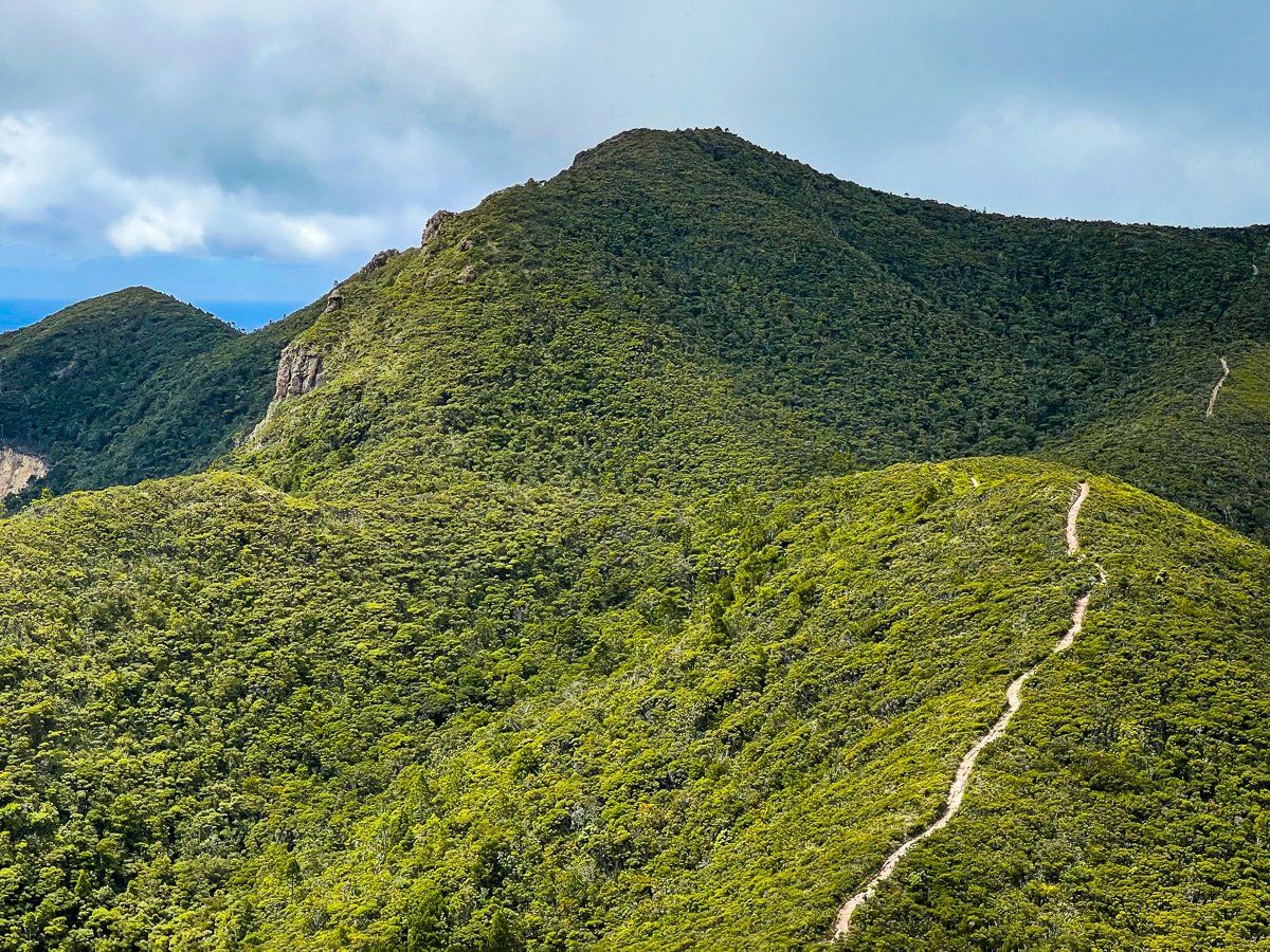
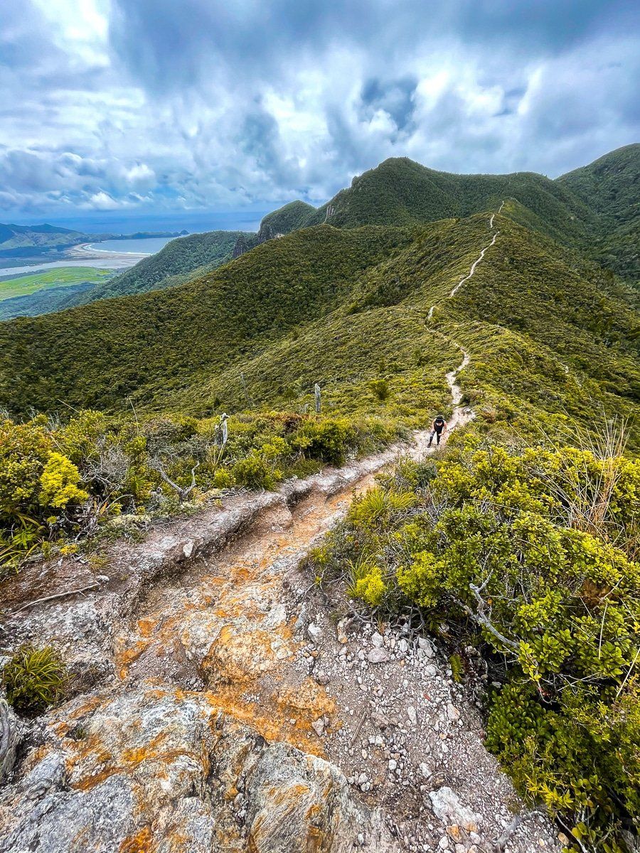
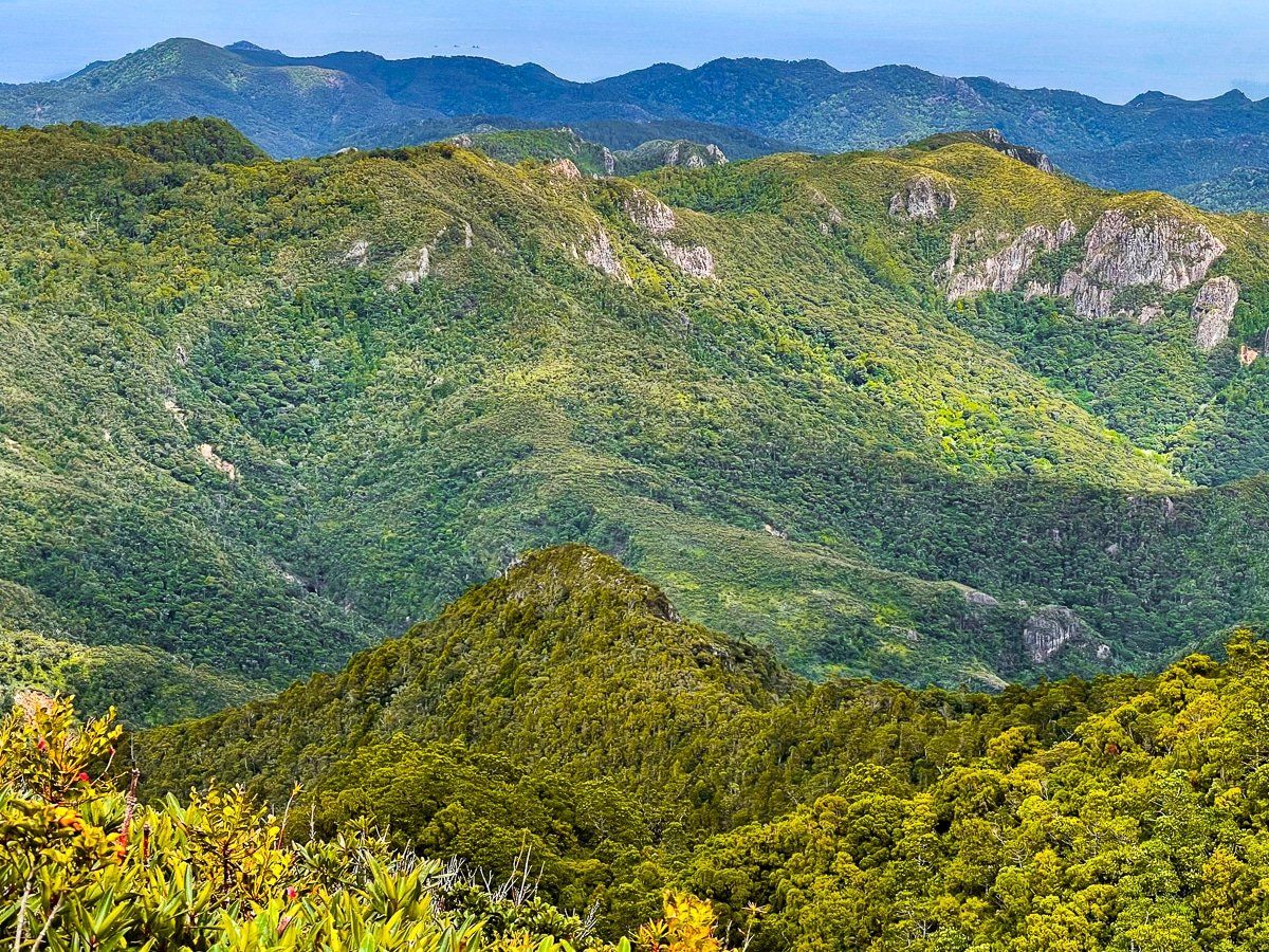
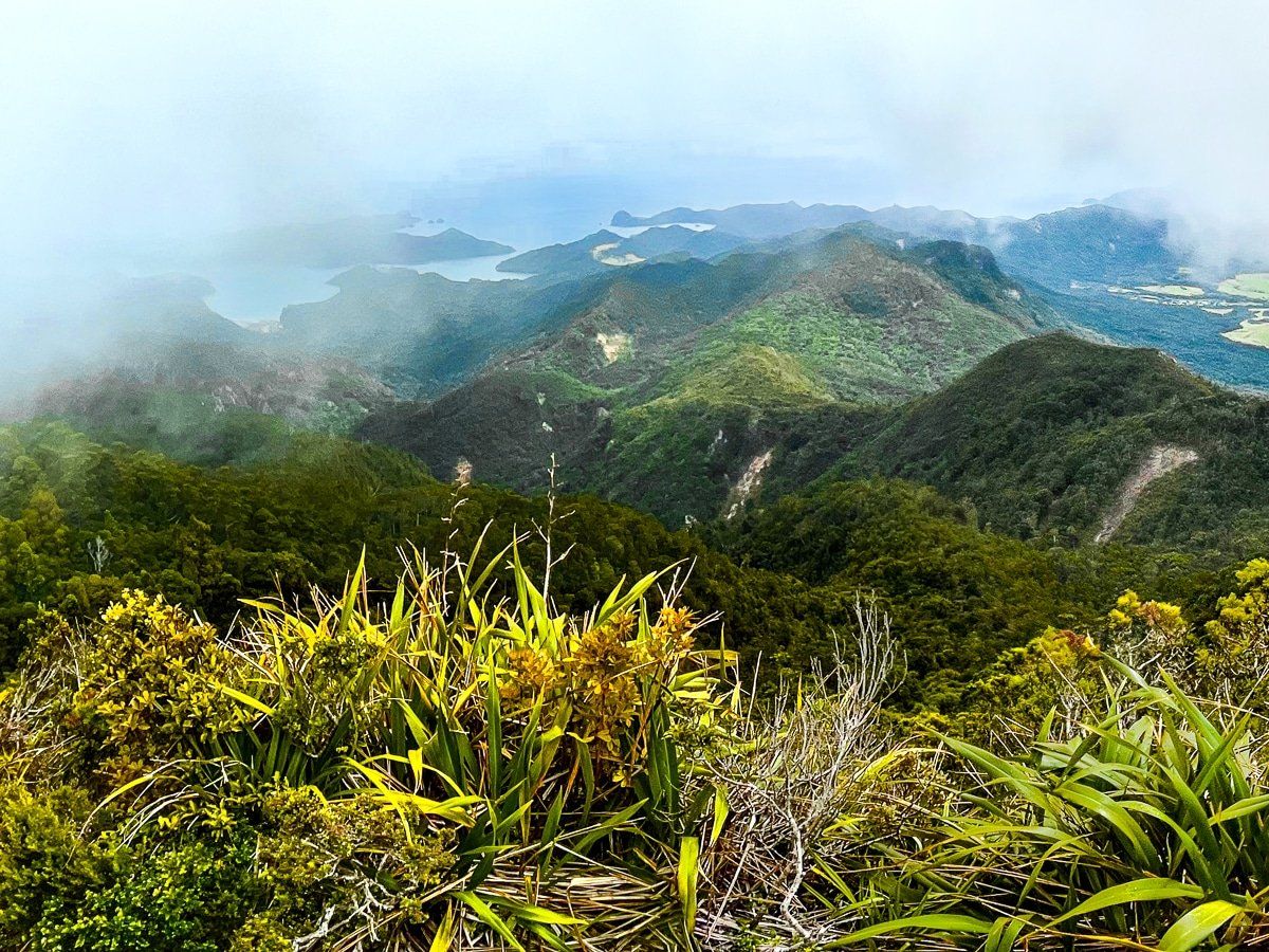
The Palmer Track is the fastest way to the top of Hirakimata, Mount Hobson. It’s two hours each way, starting with the climb up to Windy Canyon, then continuing over a couple of “humps” to the peak. The views are often fantastic – you can see out to Kaitoke Beach and Whangapoua, as well as the surrounding ridges, pinnacles and peaks.
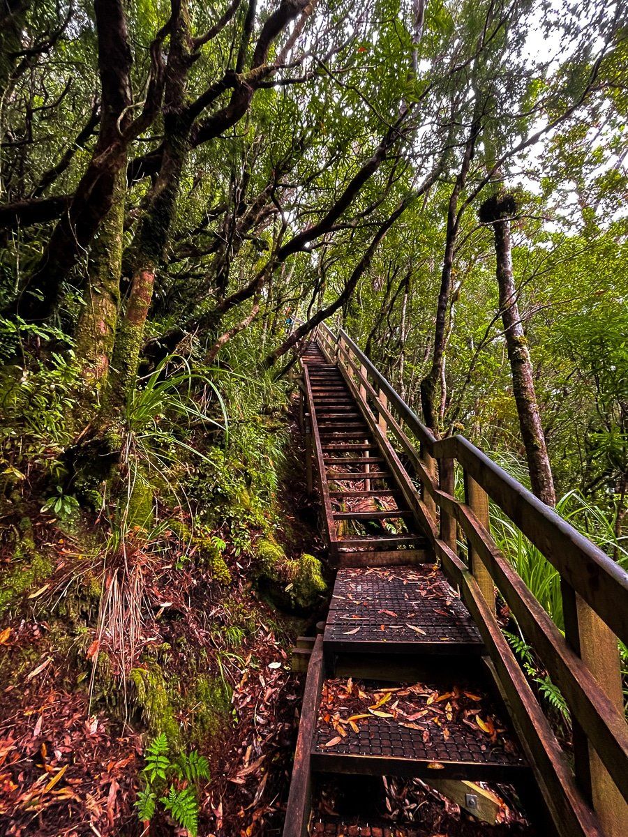
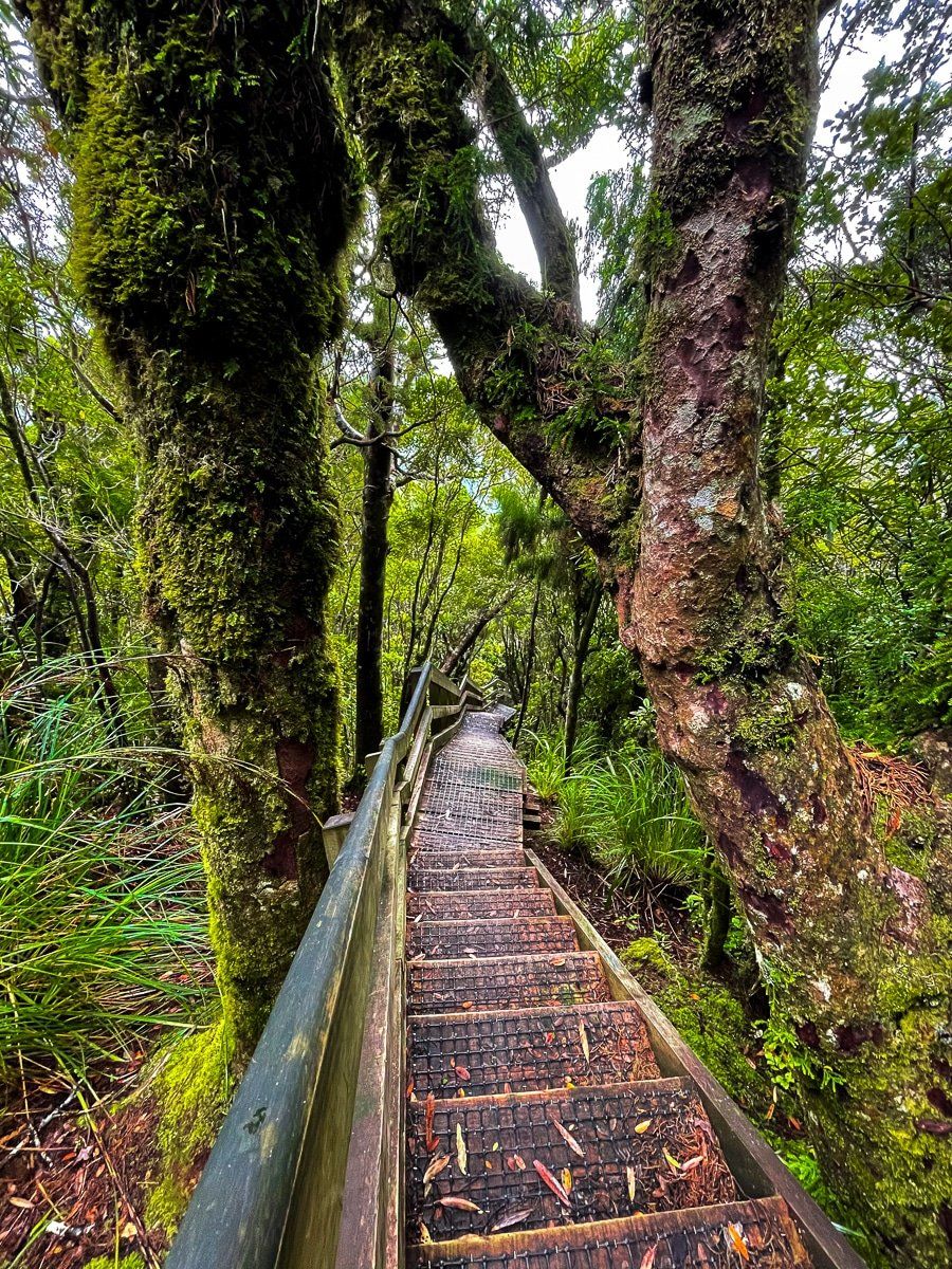
About half way along the track you’ll see a remnant of one of the hoist systems that were used to carry kauri logs over the ridge and down to Whangapoua. As you reach Hirakimata, you follow a series of boardwalks and raised steps, which protect the nesting grounds of black petrels and the few relatively mature surviving kauris.
Look out for native tree daisies (actually a modest shrub flowering from March to June) and sundews. Both are unique to the area, as are the dwarf kanuka along the ridge.
Hirakimata, Mount Hobson
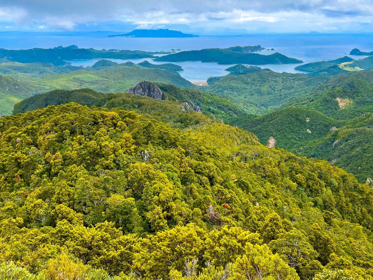
Hirakimata is the highest point on Great Barrier Island, reaching 627 metres. It was central to much of the kauri logging that took place over a century ago, which is the origin of the extensive track system that goes around and over the mountain. Today, this system forms the Aotea Track, the only multi-day hike in the Auckland region. The last section of the track, which goes to the peak of Hirakimata through rain forest, is the highlight. At the peak there are extraordinary views across the island.
Port Fitzroy
If you continue past Whangapoua and Okiwi, you’ll arrive at Port Fitzroy. On the way, you’ll pass the entrance of Coopers Castle Track, which takes you all the way to Hirakimata.
At Port Fitzroy there’s a general store, cafe and takeaway shop. Just before the store, there’s a turnoff to Glenfern, where you can visit a bird sanctuary and go on a thirty-minute hike to a viewpoint above the harbour and to the lower Old Lady Walk.
Past the Port Fitzroy wharf there’s the Akapoua Campground and several walking tracks, leading to a waterfall on Warrens Creek and Forest Road which you can hike or bike, and which connects to the Aotea Track.
Warrens Creek Track
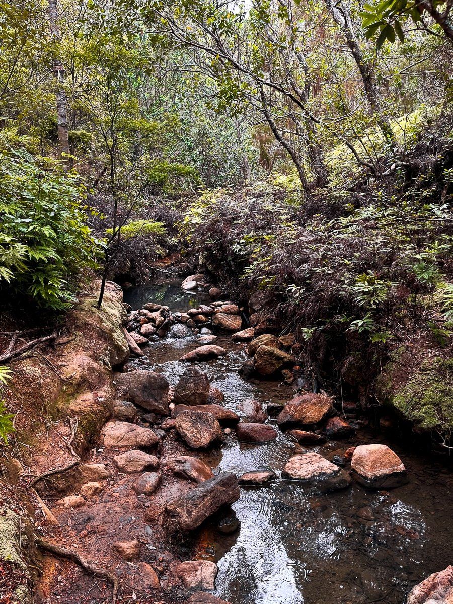
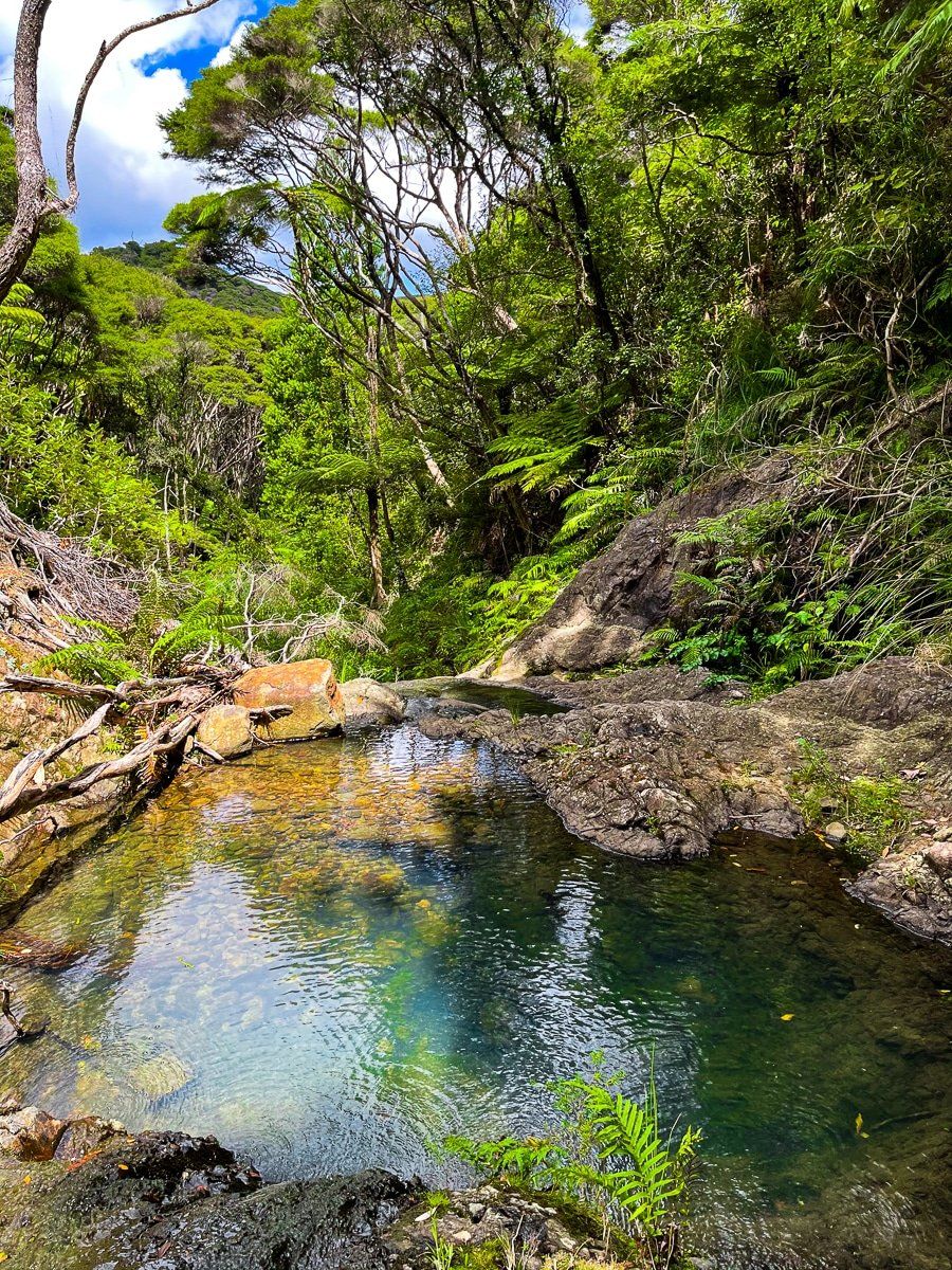
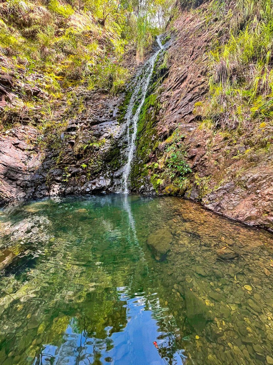
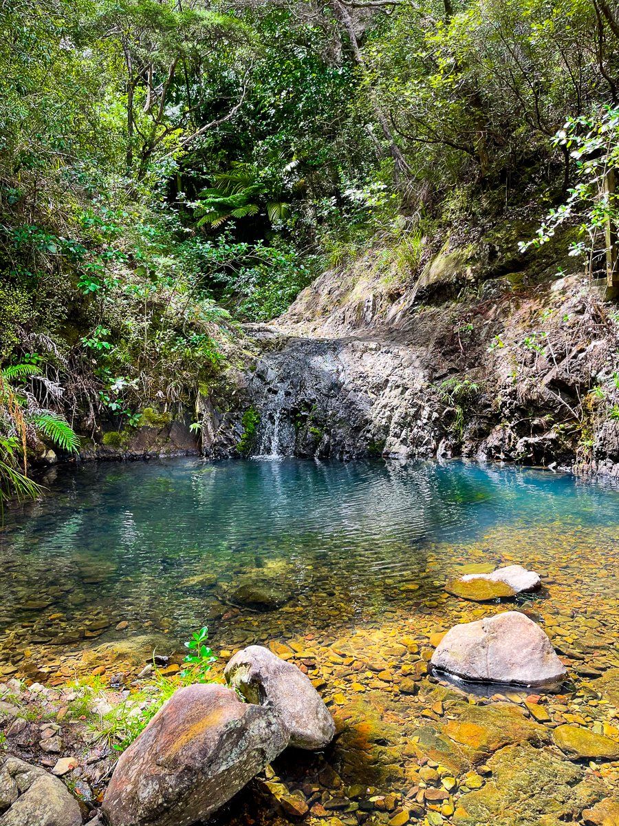
Opposite Akapoua Campground is the entrance to Warrens Creek Track, a forty-five minute loop that takes you past waterfalls and a swimming hole. Follow the track for about twenty minutes through forest regrowth until it reaches a modest waterfall, then continue above the waterfall along the stream to a larger two-level waterfall – you can clamber up the first level to reach the swimming hole.
The track then continues up a series of steps to a ridge, goes through a section of exotic pines, then drops back to the road about three hundred metres from the entrance. There are a couple of other waterfalls in the area, accessible from the Tramline Track. One is at the north end of the track where it crosses Awana Stream, and the other at the south end near Whangaparapara.
Want more Great Barrier Island trip ideas?
Check out our recent post about Great Barrier east coast beaches.
