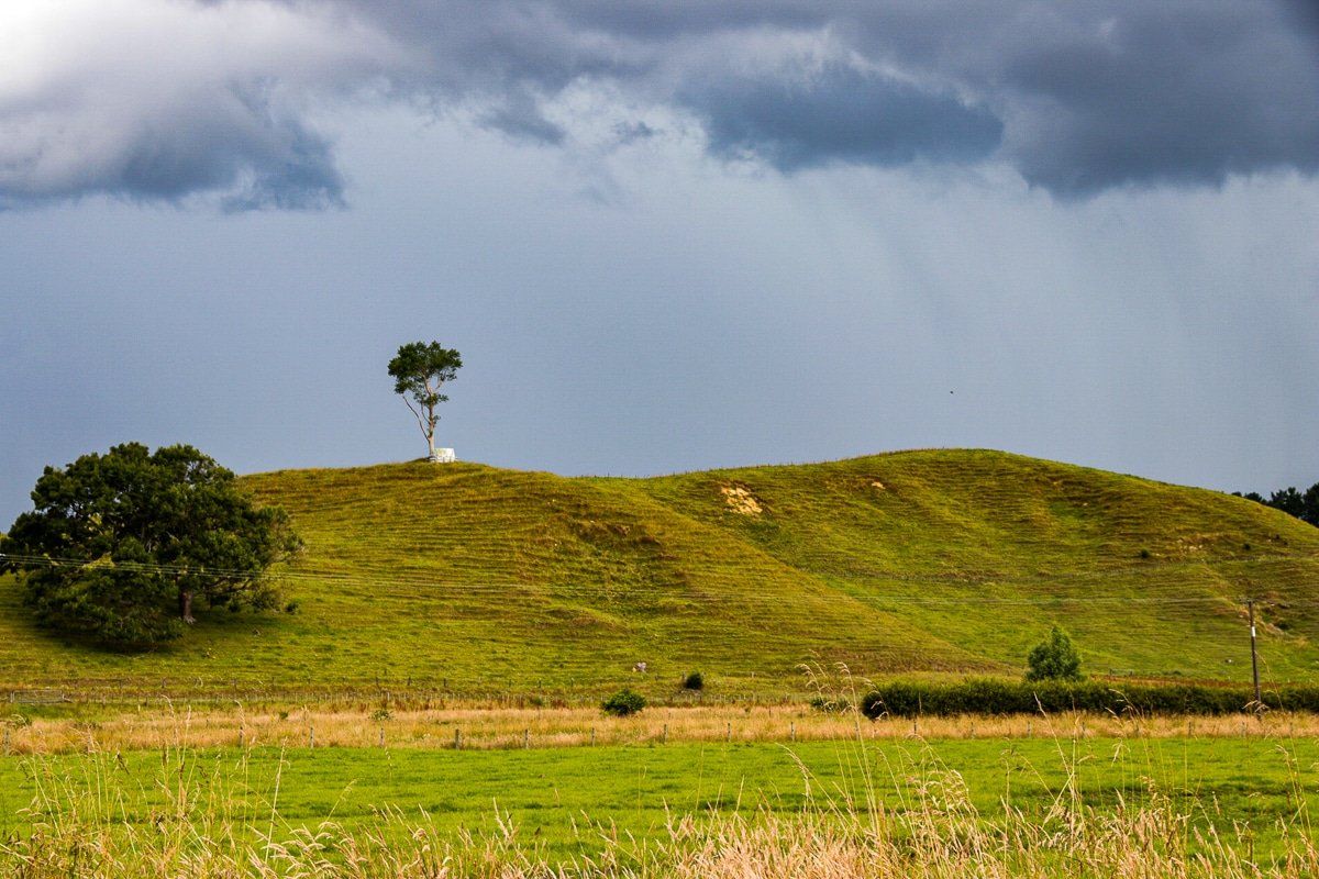
The most efficient way to get from the King Country to Taranaki is down the SH3 from Te Kuiti. Less efficient – but arguably more interesting – is the Forgotten World Highway, or State Highway 43, from Taumarunui to Stratford.
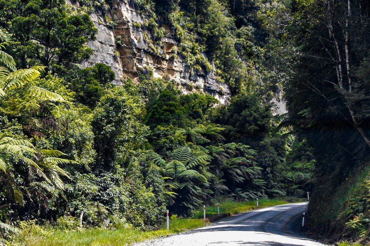
The Forgotten World Highway is about 150 kms long and there’s no petrol station in sight. This is about as remote as it gets in the North Island without being a dead end.
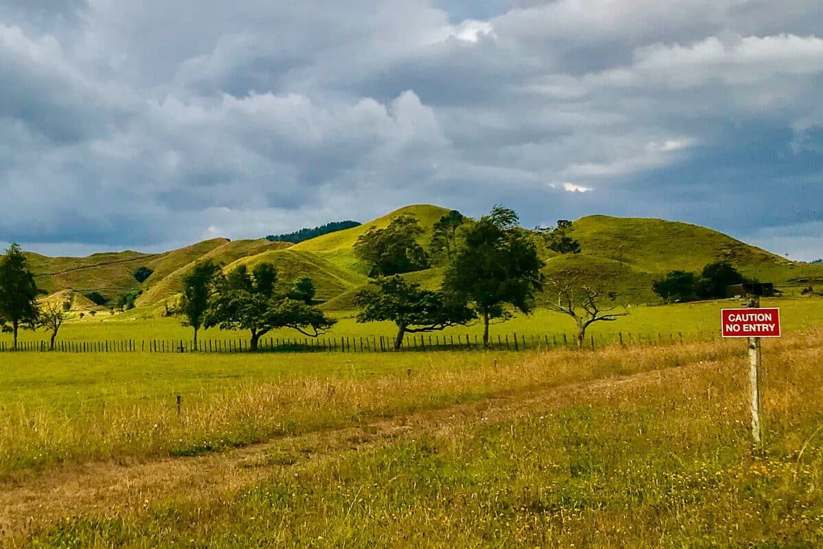
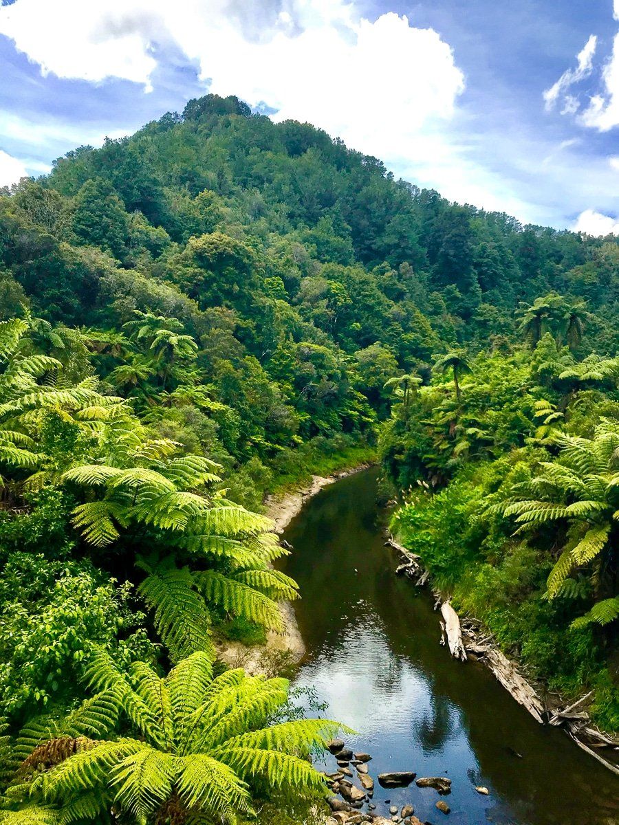
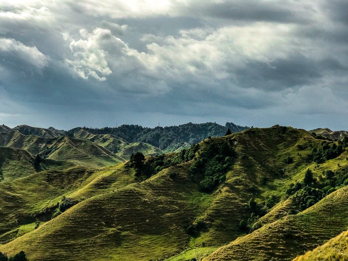
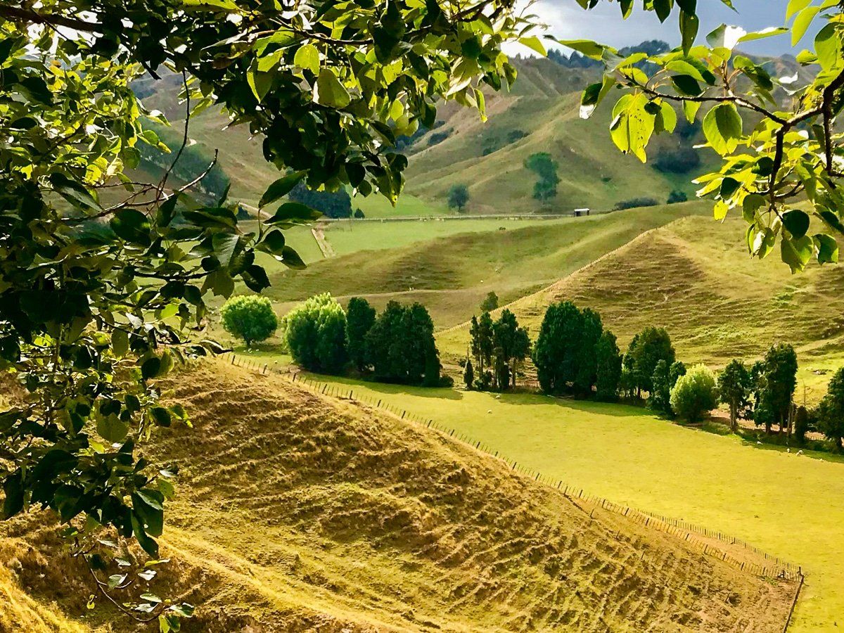
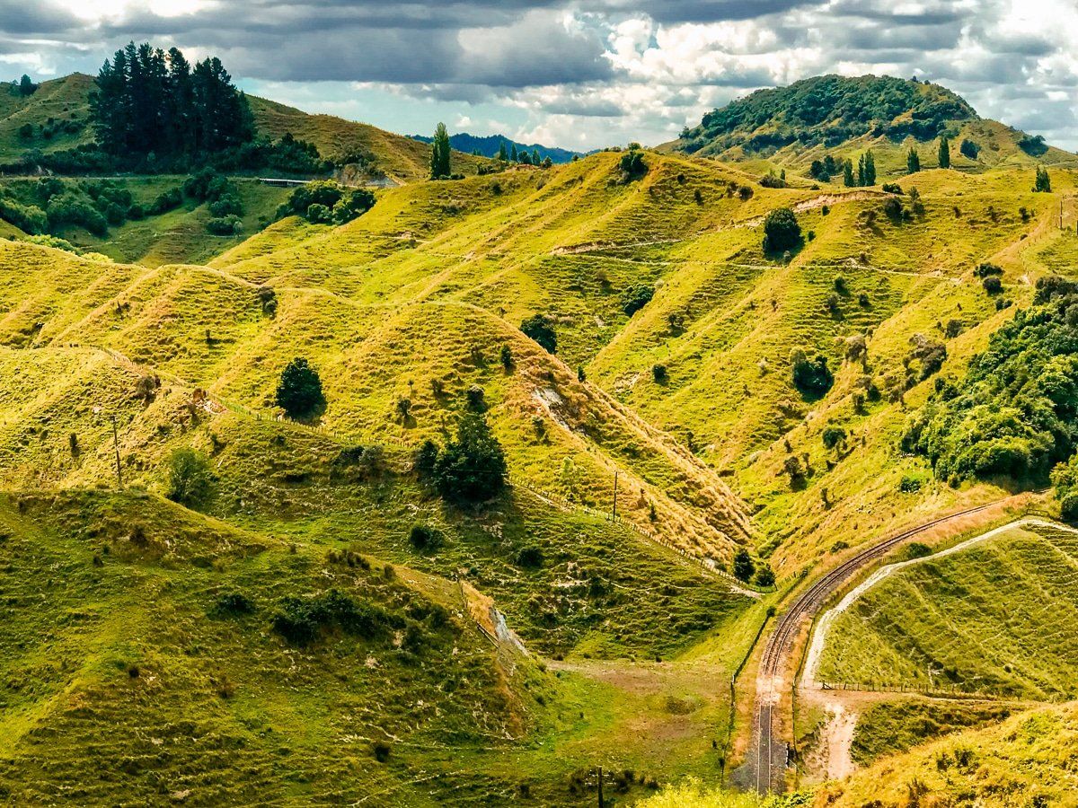
There are forests, gorges, several high saddles over extremely rugged and eroding terrain, and finally the dairy farms of Taranaki. Along the way are many reminders of the problems and indeed follies of building and maintaining roads and farms in such rough, deteriorating country.
Te Kuiti
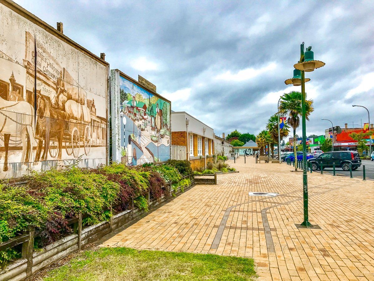
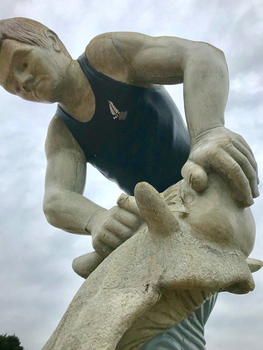
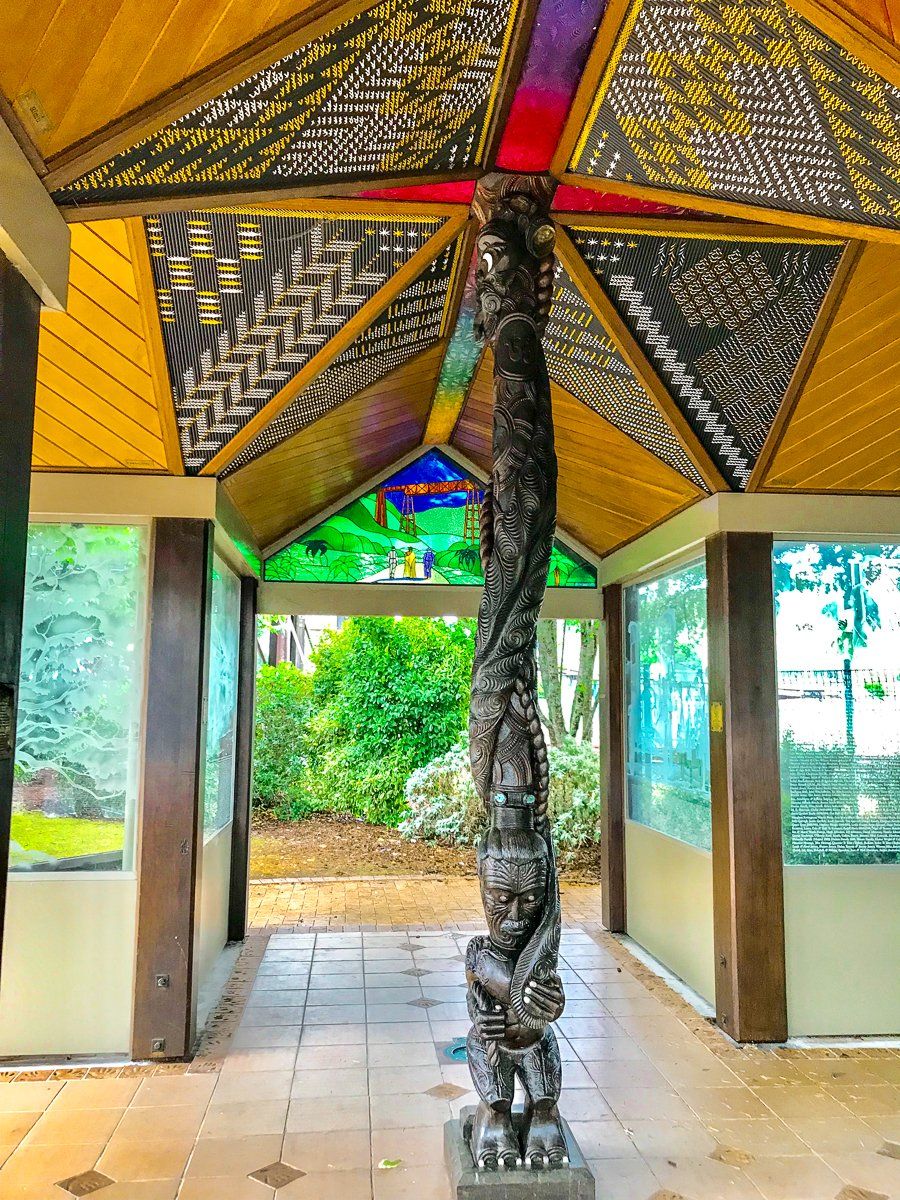
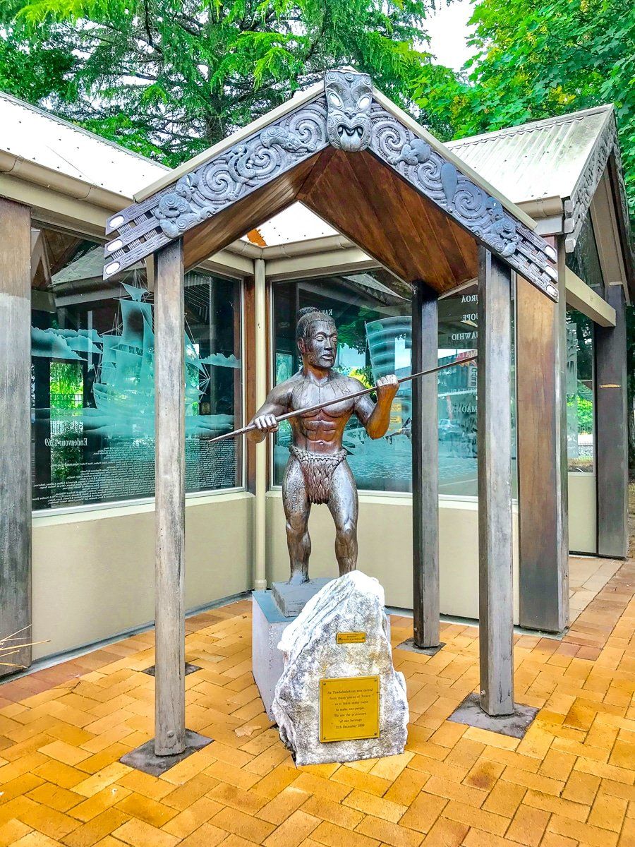
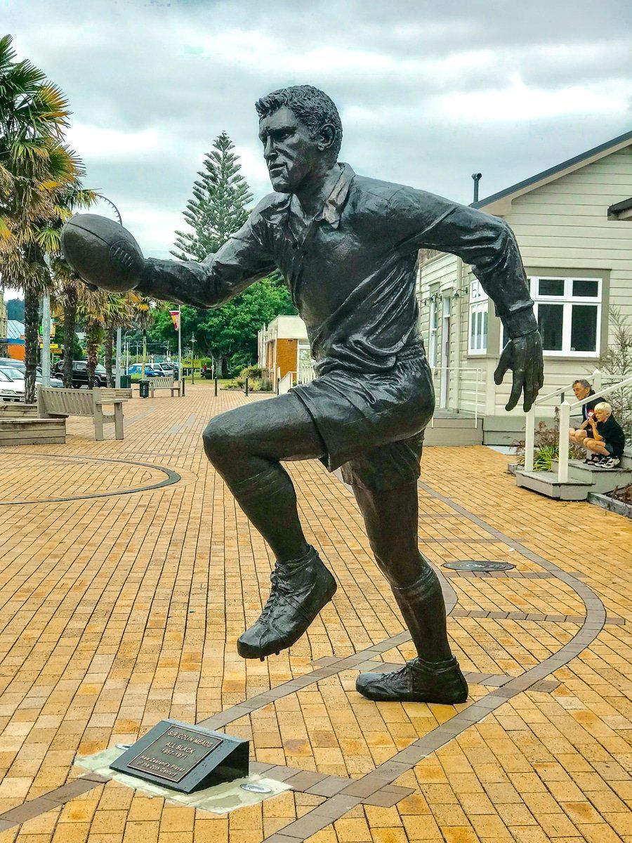
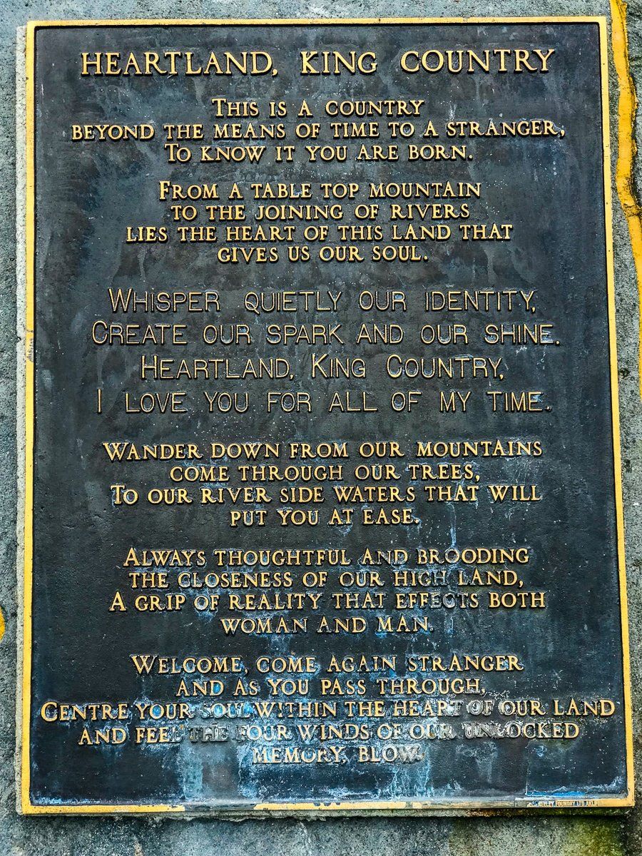
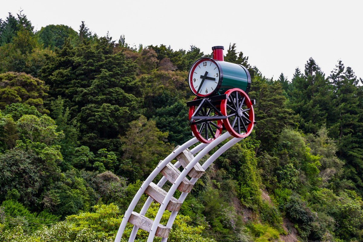
Te Kuiti is a rural service town in the heart of the King Country which has endeared itself to tourists. It has several cool features near the town centre and railway station that remind you of its history, including a statue to Colin Meads, a very famous All Black of the 1960s, a huge monument to sheep shearing, and a beautiful pavilion commemorating the history of the town.
The town sits on the junction of SH3 to Taranaki or SH4 to Tamarunui, to connect with the Forgotten World Highway.
Taumarunui
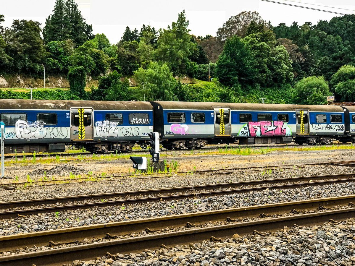
Taumarunui has a few notable mentions under its belt. It’s the historic centre for the North Island rail line, and there’s now an old graffetied carriage “graveyard”.
For history buffs, there’s the unusual top hat memorial. This is because the Māori name for the King Country is Te Rohe Potae (the area of the hat), and it was the last region to hold out against European colonisation. The hat was supposedly thrown on a map of the North Island to denote the area that remained under the control of the Māori king movement following the Waikato Land Wars.
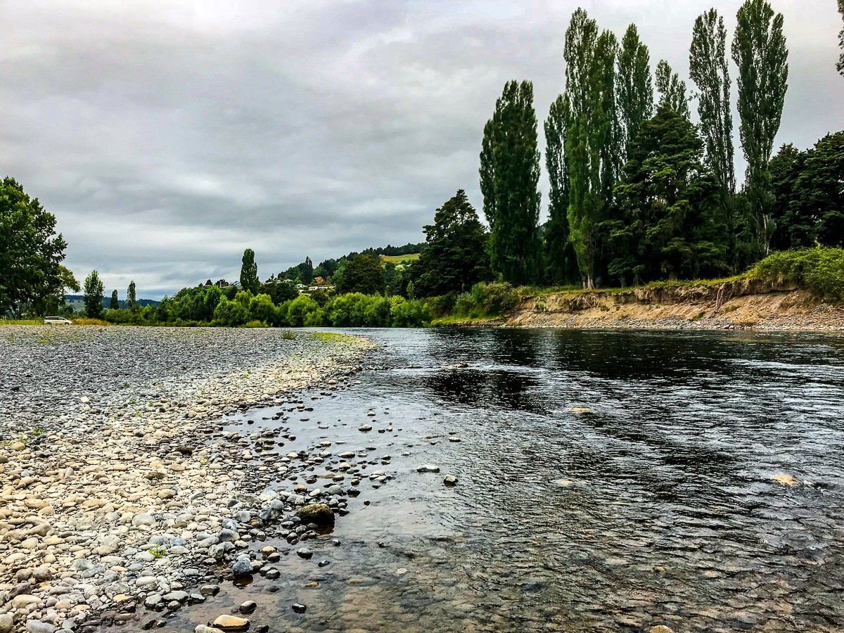
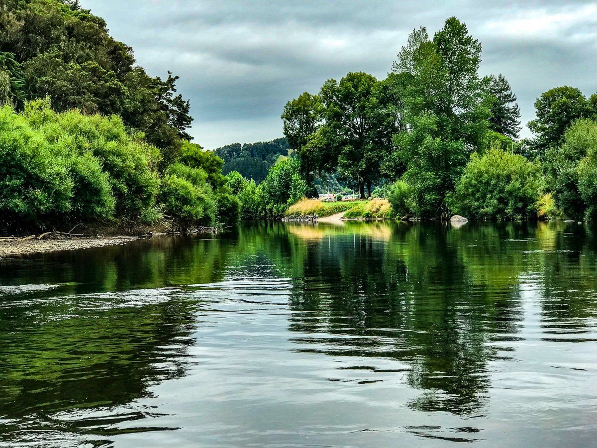
Finally, if you go down Cherry Grove Road, you get to the confluence of the Whanganui and Ongarue rivers. The river banks are picturesque and it’s the starting point for the multi-day canoe trip down the Whanganui River, which DOC describes as one of the Great Walks.
Before starting out on the Forgotten World Highway from Taumarunui, make sure you have enough fuel (for your vehicle and also in the form of snacks).
Te Maire Loop
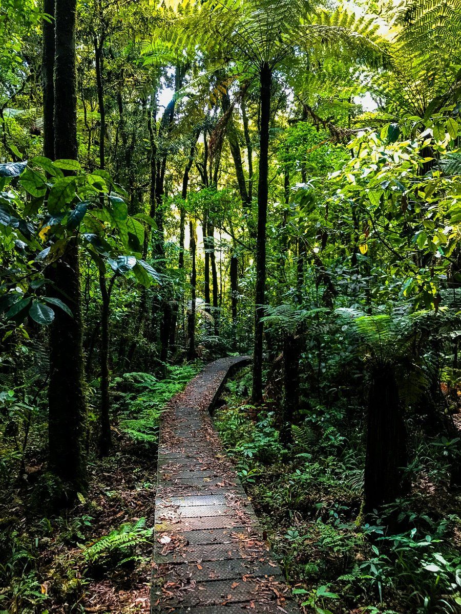
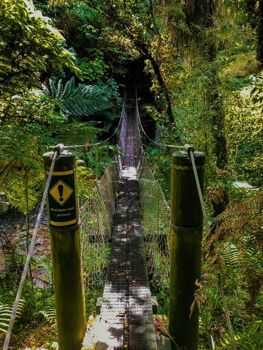
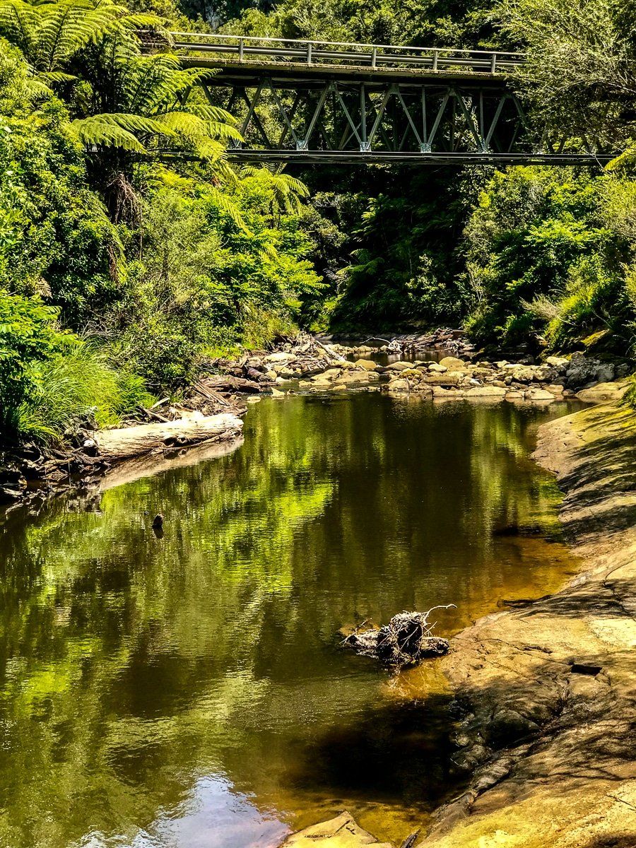
About 15 kms along the highway, there’s a bridge over the Whanganui River which takes you to an “island” of old forest. Turn left onto Te Maire Road and park at the signposted track access.
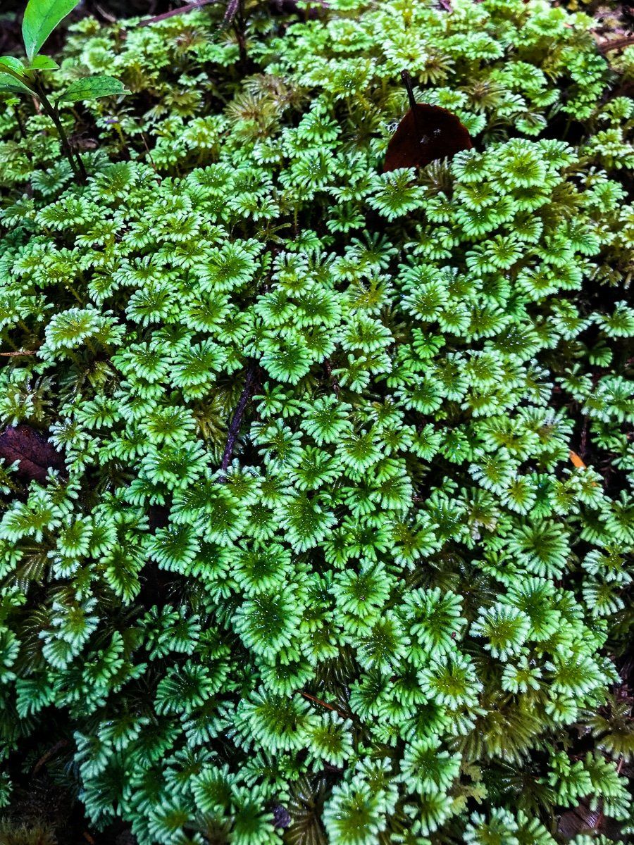
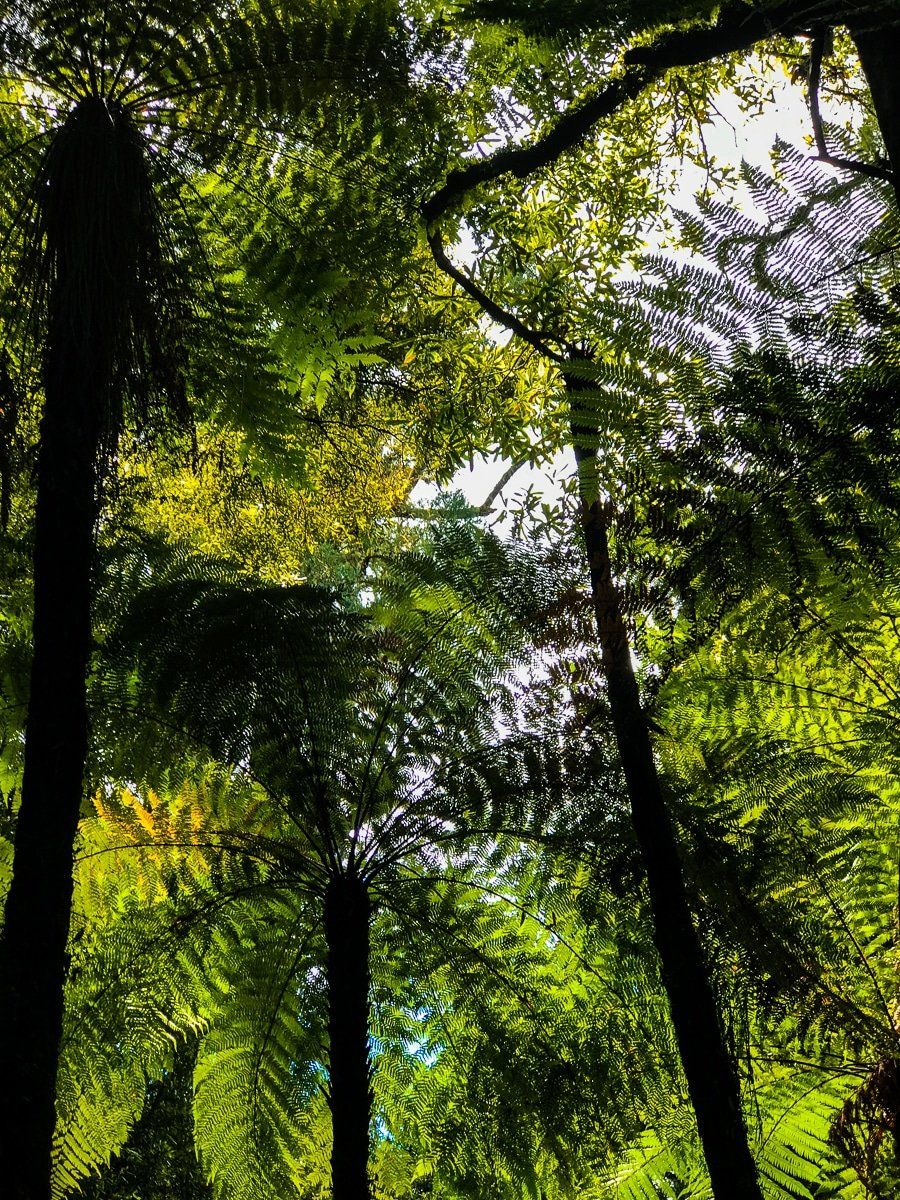
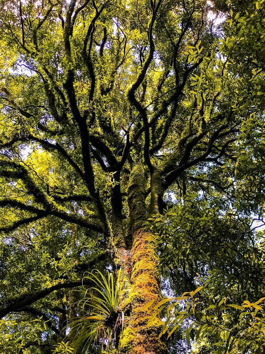
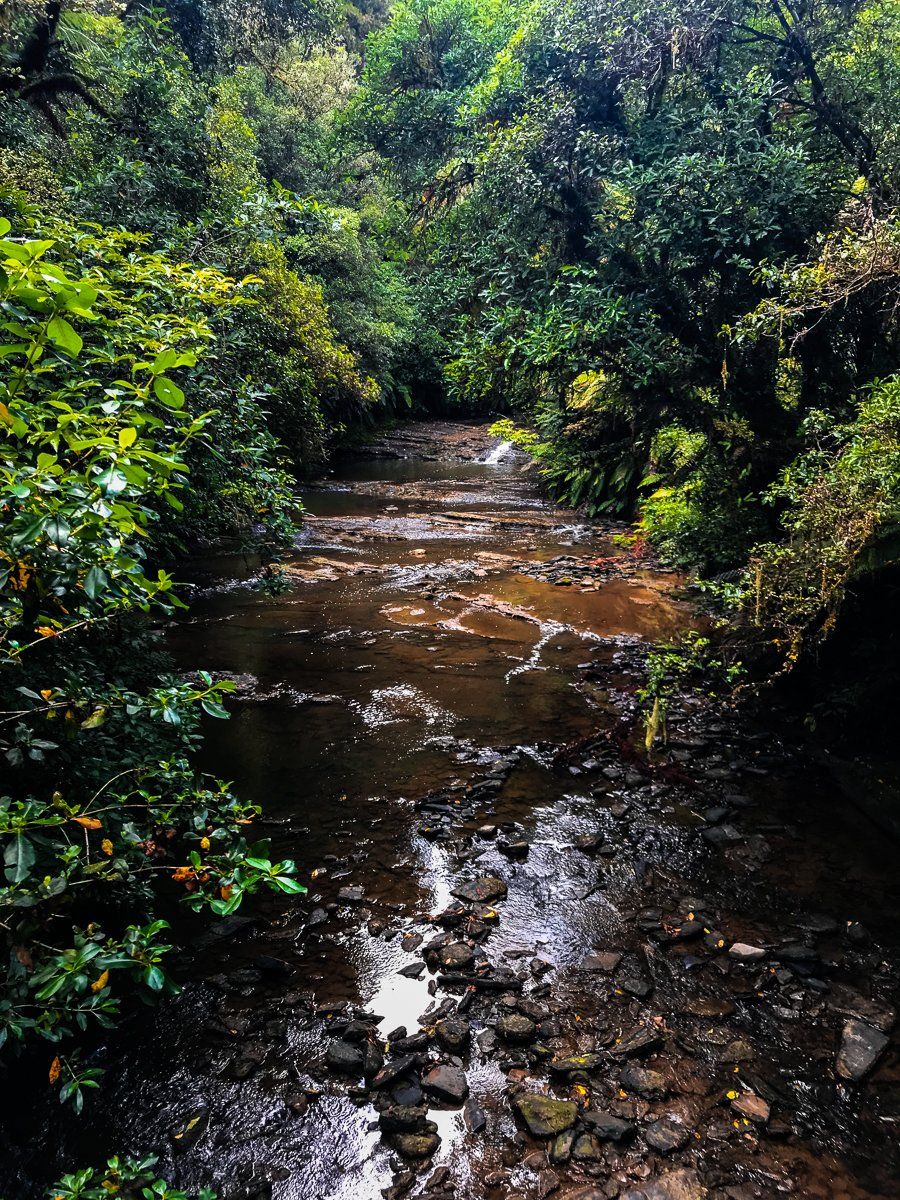
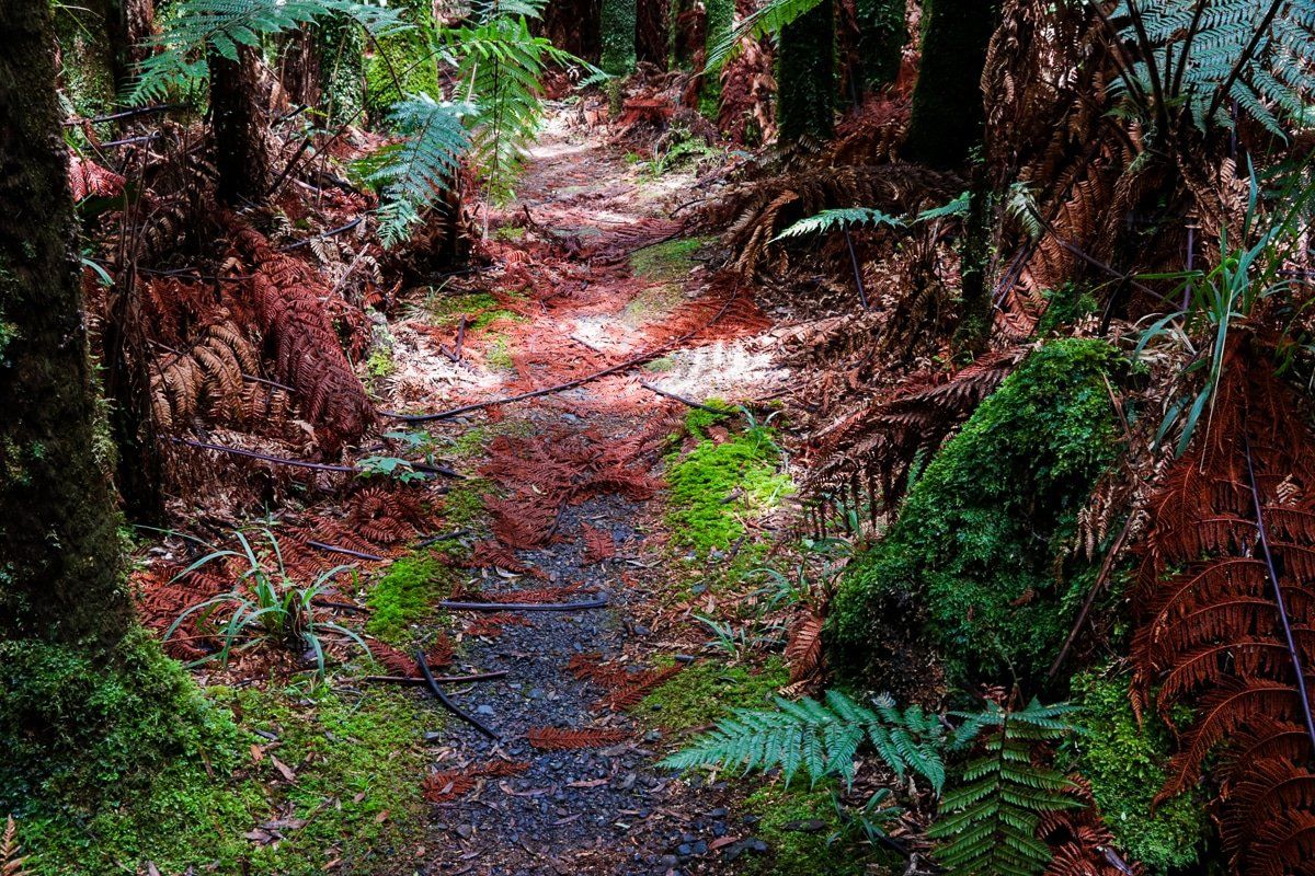
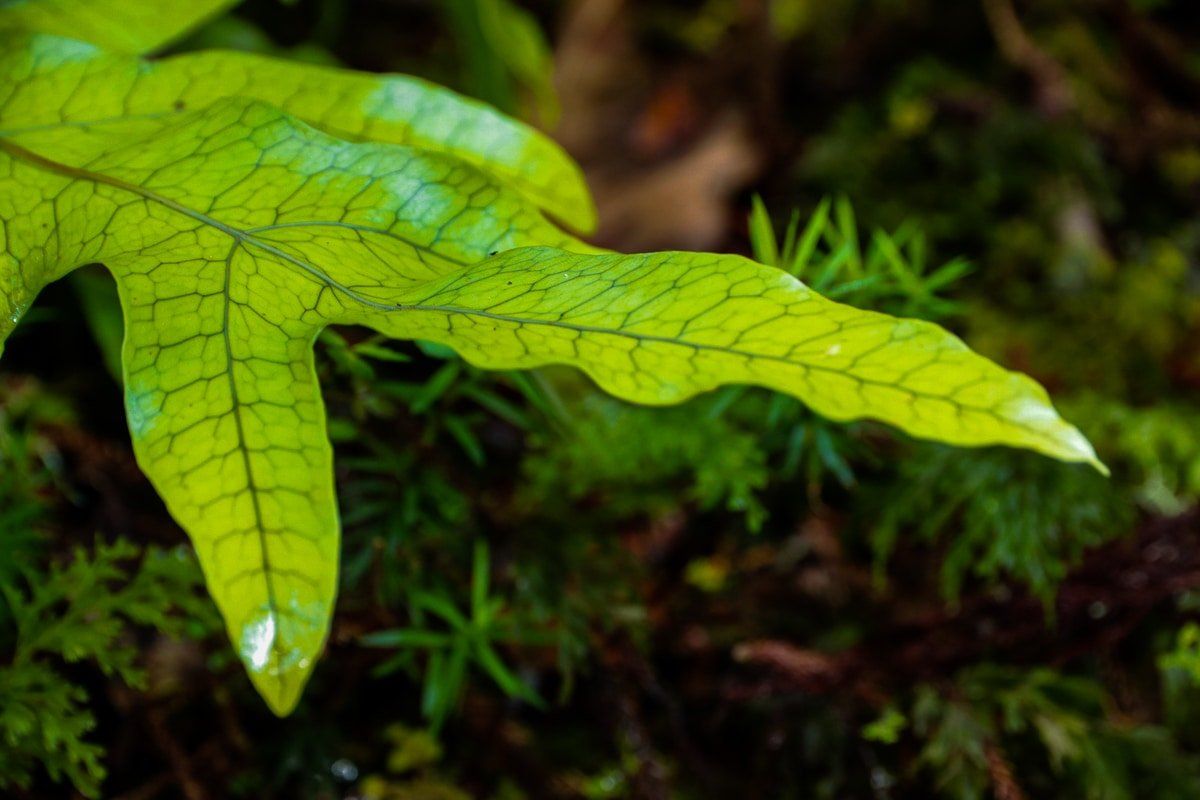
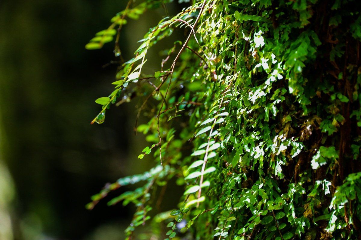
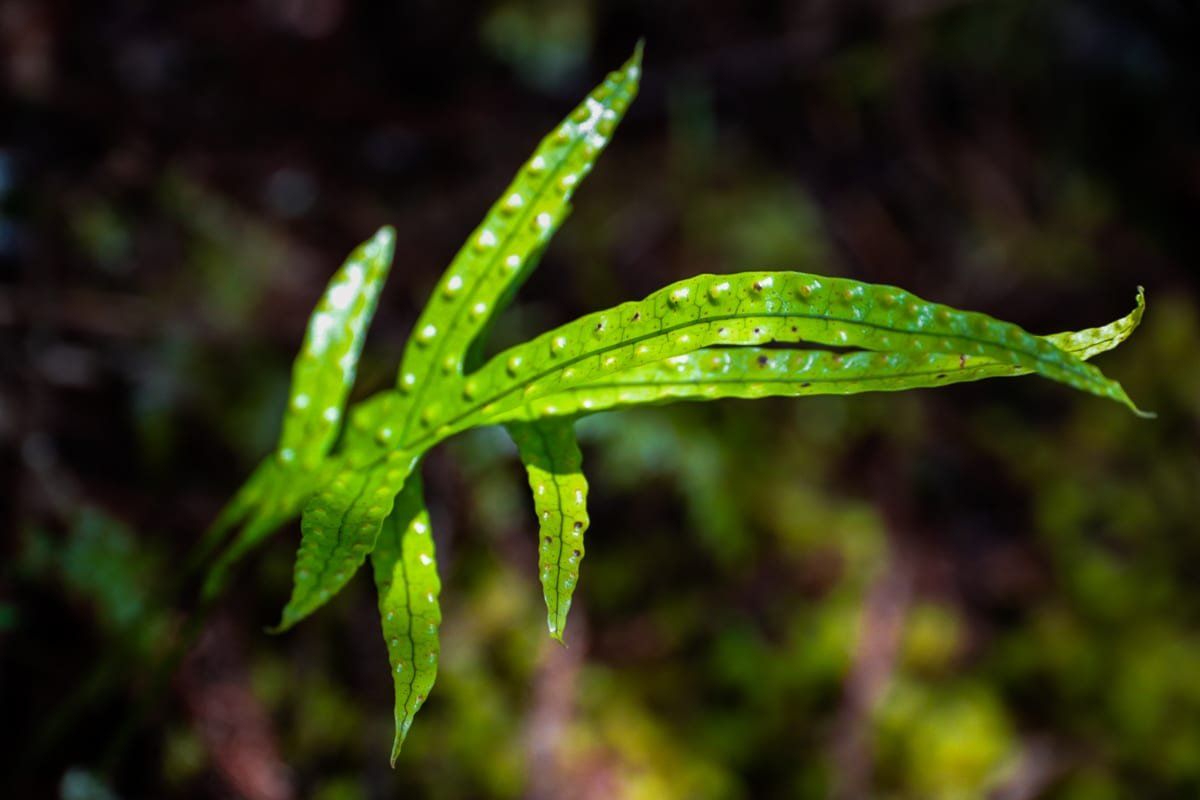
The walk is a great way to get a sense of the Whanganui River rainforest, which once dominated the entire region. To otherwise experience this, you really need to do a river trip. Returning to the highway, there’s a lovely lavender farm and cafe a few minutes on.
The metal road
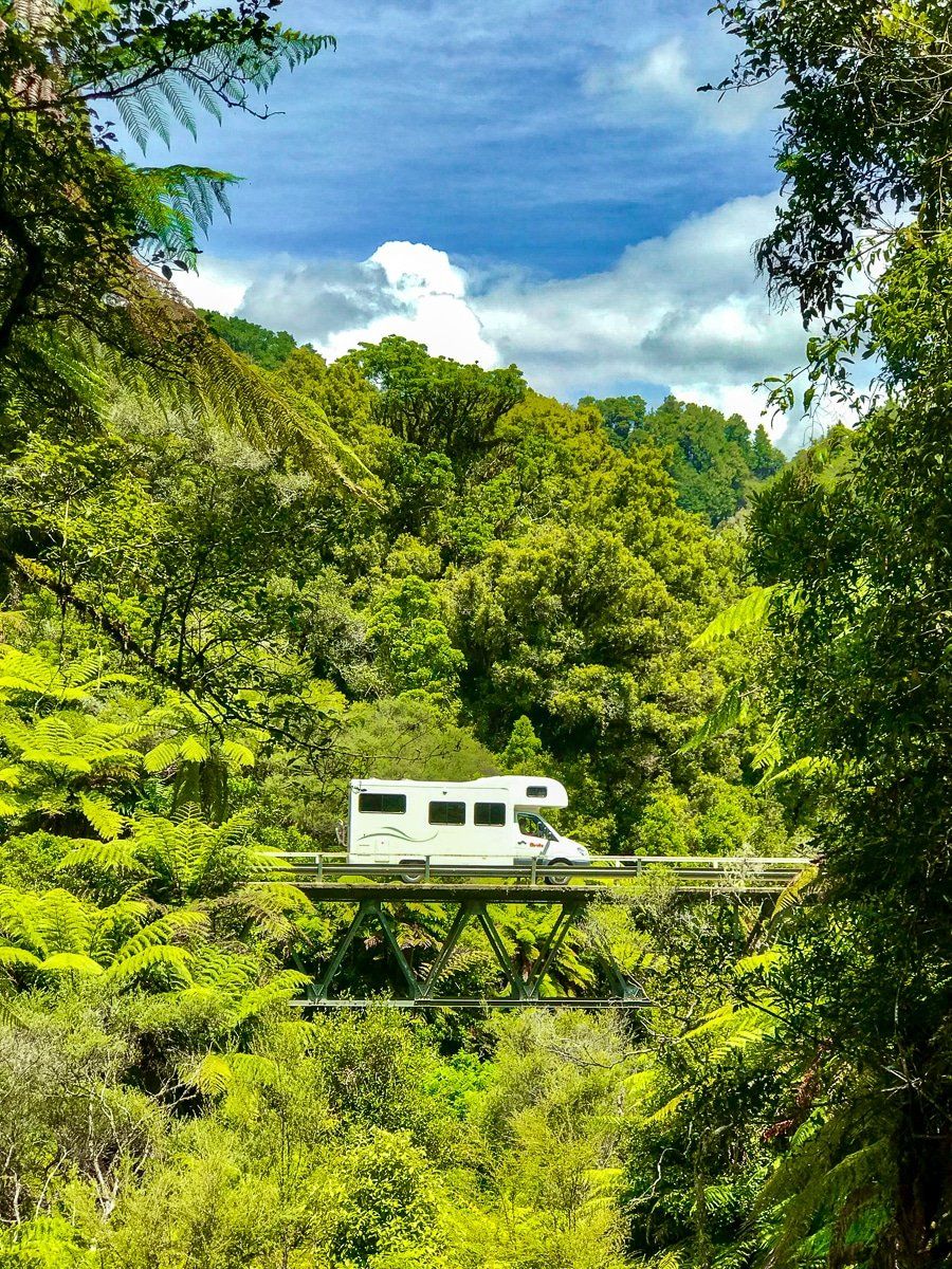
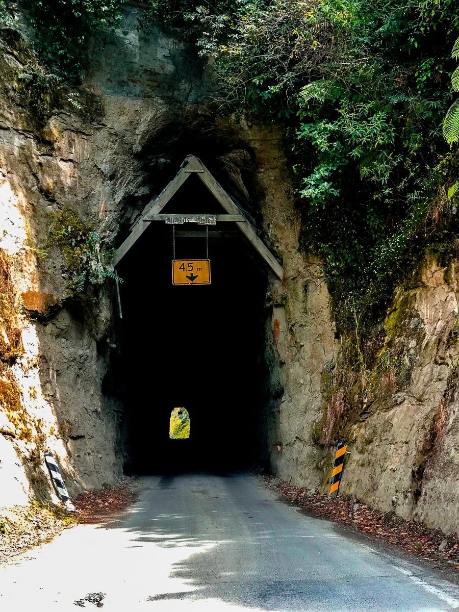
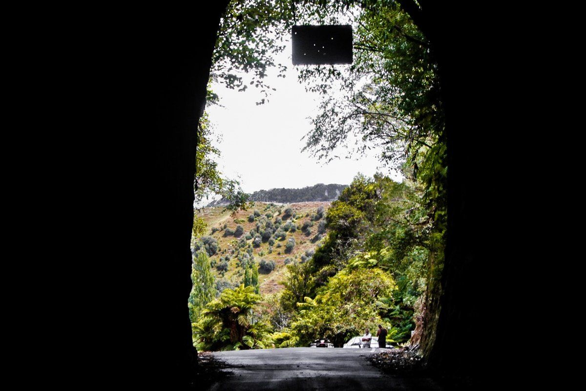
The road initially follows the Whanganui River and a series of farmed valleys before climbing up to the Paparata Saddle, the first of several along the highway. At this point, there is very little in the way of human activity. There are various points of interest – the much photographed Moki tunnel, the short walk at Morgans Grave, and the metal road along the Tangarakau Gorge.
If you have extra time, there are side trips to Mount Damper Falls and dead-end roads to remote farms and stations, including the rather mysterious Bridge to Somewhere.
Whangamomona
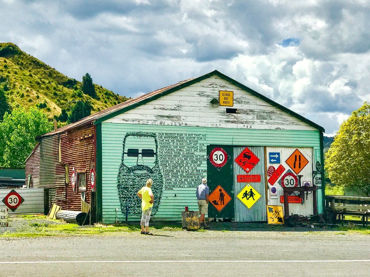
About two thirds of the way down the highway, you reach Whangamomona. A hamlet with a cool pub and hotel, Whangamomona is famous for declaring independence over some local government squabble. You can even get a local passport to celebrate. As the pub is the only facility on the road after the lavender cafe and before Stratford, you’ll probably want to stop.
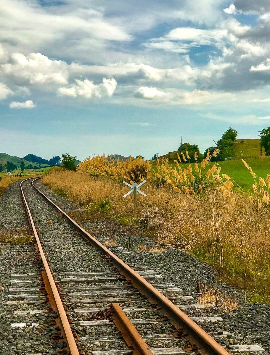
There’s also a self-drive rail cart tour you can do along an otherwise disused railway line that links Taumarunui, Whangamomona and Stratford.
The Saddles
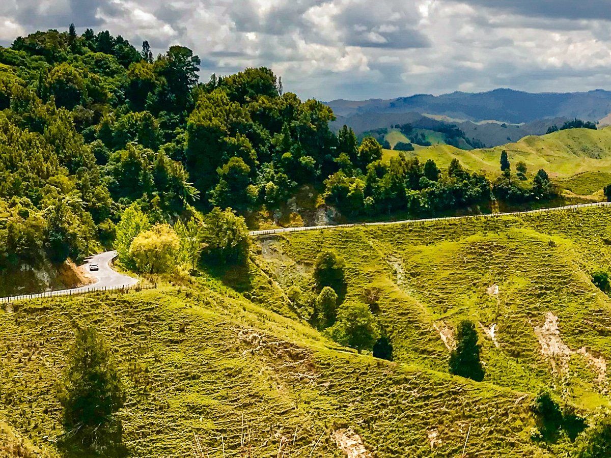
One of the most interesting features of the highway are the saddles after Whangamomona. These are Whangamomona Saddle, then Pohukura and Strathmore. The former is in a section of old forest, but the latter two are high points that look over steep, eroding farmland.
There are some panels that describe the difficulties of building the road over the saddles, because of weather and erosion problems. When you look at the surrounding sharp-edged hills, it’s hard to understand why anyone really bothered in the first place.
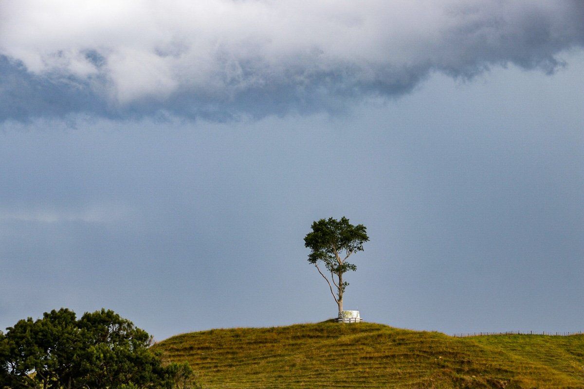
On this drive, the weather also changed dramatically, as if to underwrite just how exposed earlier travelers would have been.
Douglas
The tiny hamlet of Douglas more or less marks the start of the flatter terrain of the Taranaki dairy country. It was once a bit bigger with several businesses and a major stockyard, and is now small and quaintly idyllic.
Once you’re in Taranaki, here are a few short walks in Egmont National Park to get you started.
Want more North Island trip ideas?
Check out our recent posts about Waitakere walking tracks, Manawatu Gorge, the Wairarapa, and the Kapiti Coast.
