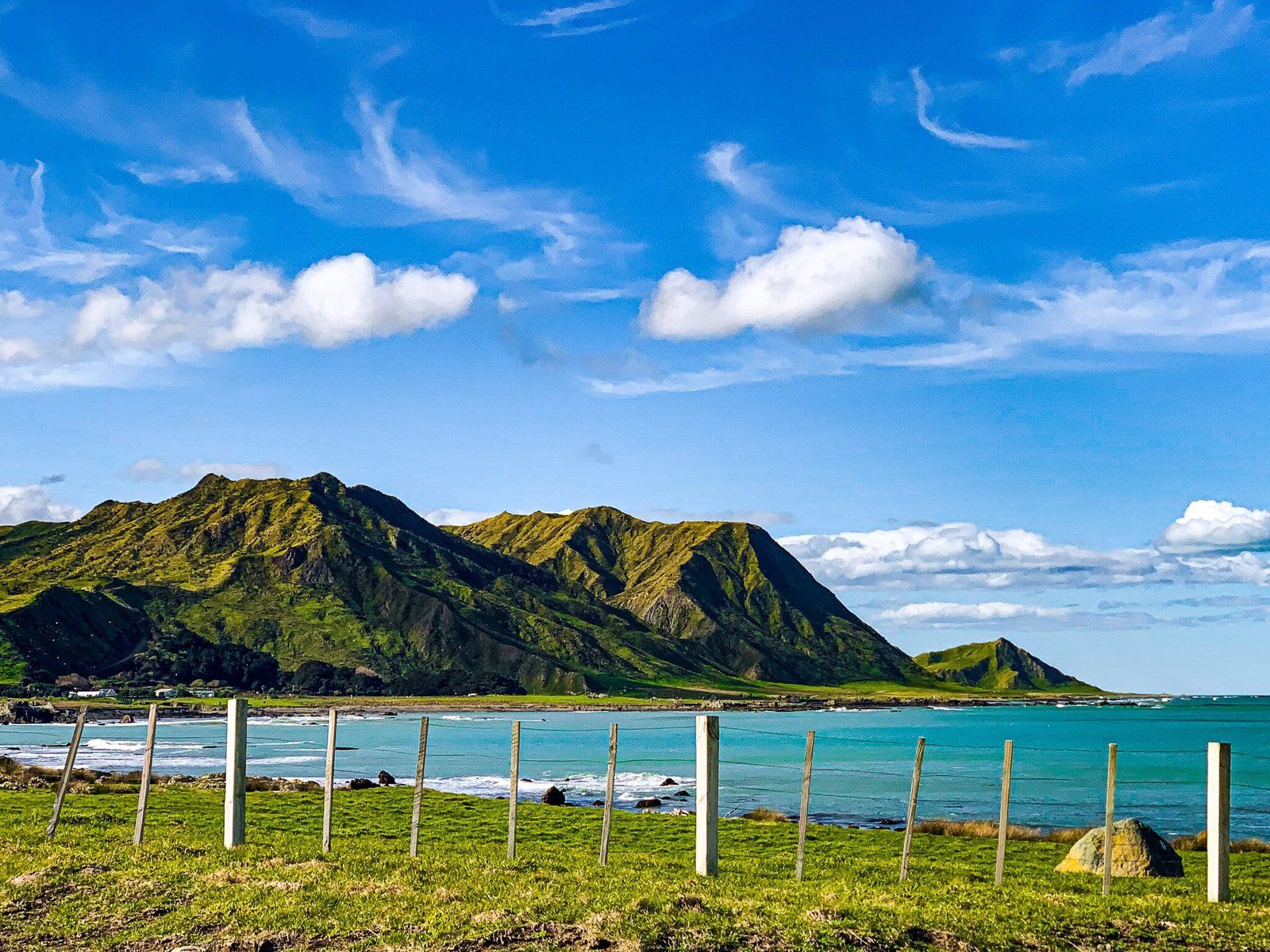
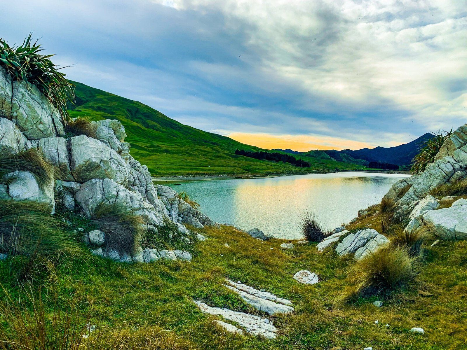
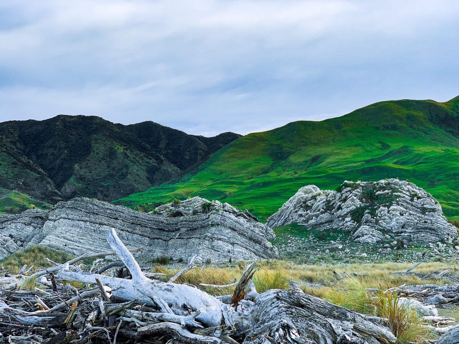
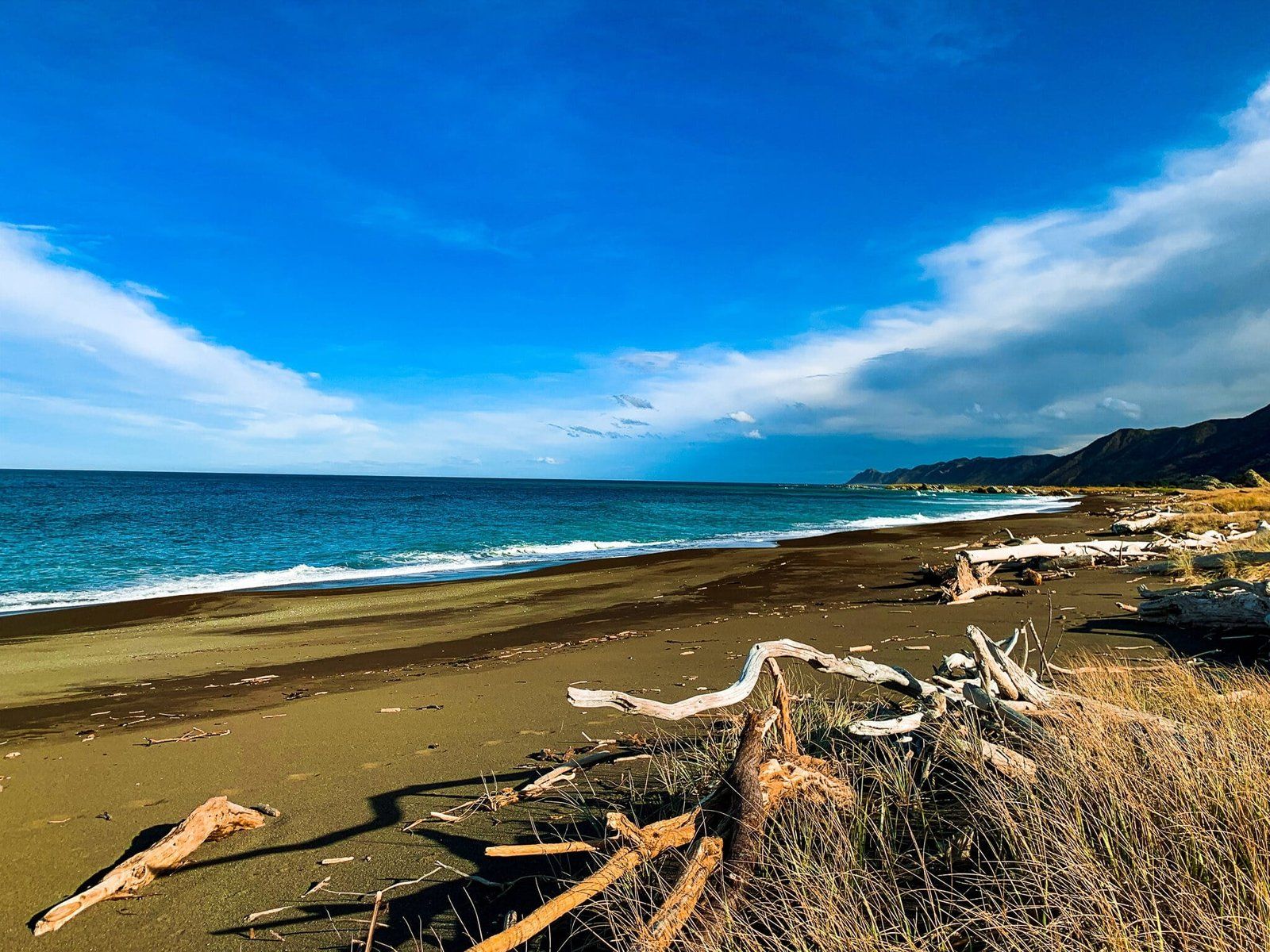
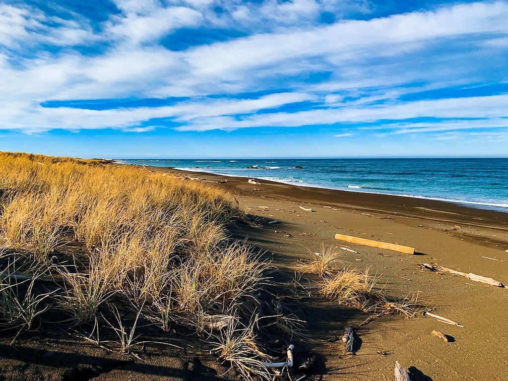
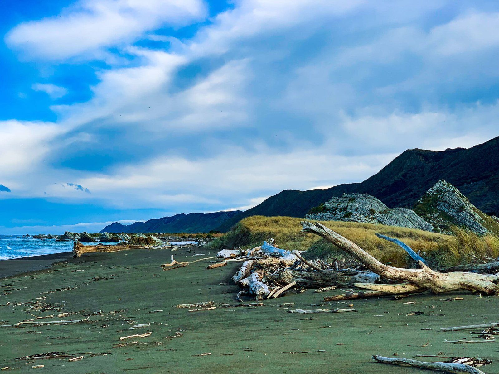
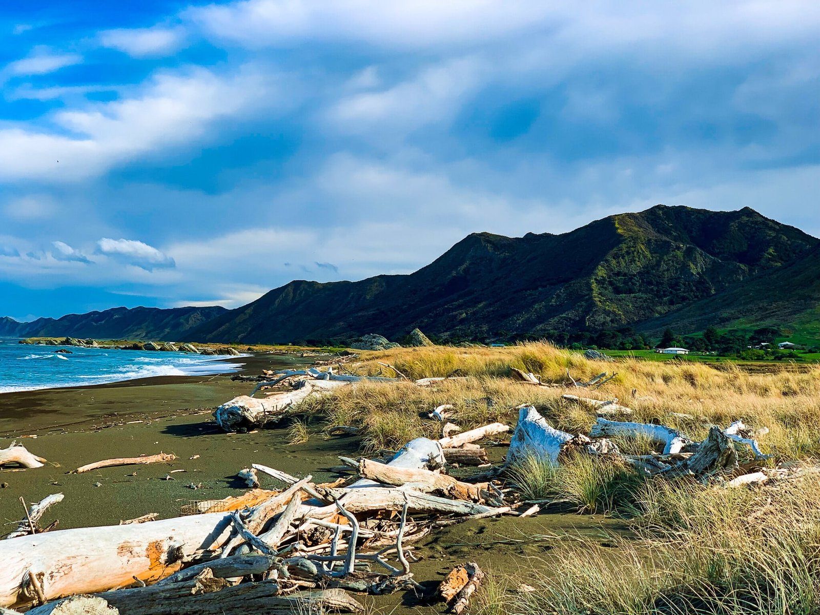
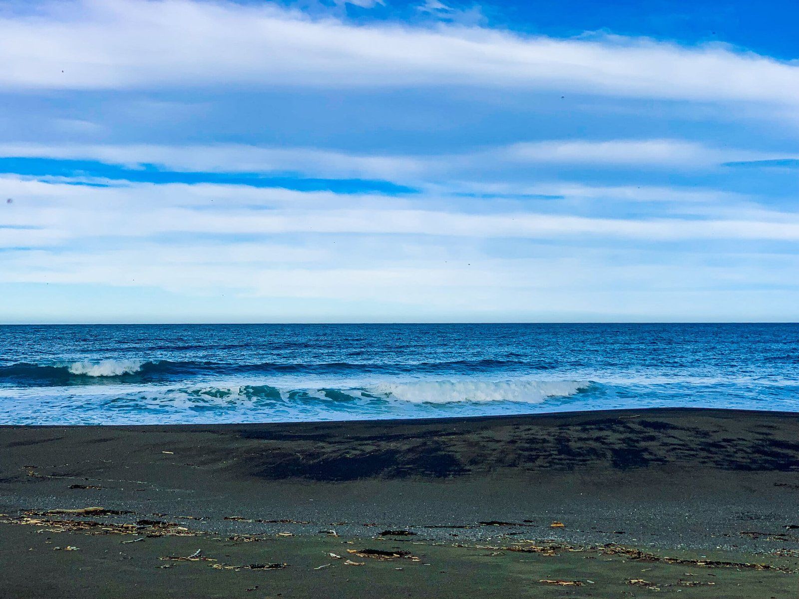
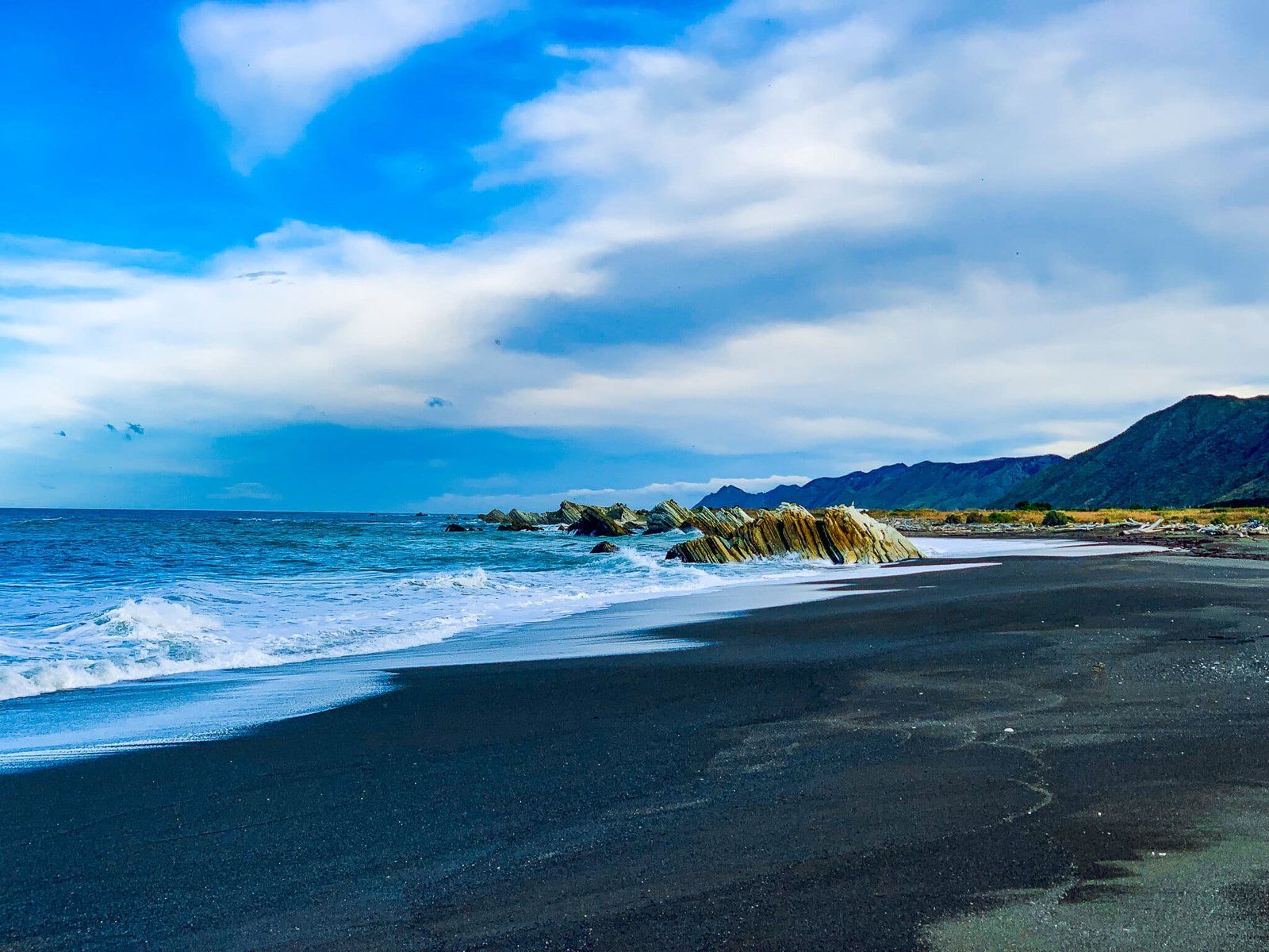
With so much left to explore, we returned to the Wairarapa once again to check out more backroads out to the rugged and isolated coast, replete with fascinating exposed geological history at White Rock and Tora. The roads themselves are worth the drive simply for the glimpse into the range farming the coastal hills and valleys support, and the unique black-sand beaches at the ends of the roads make for a perfect NZ day trip.
White Rock Road
From Martinborough, take Jellicoe Road from the main square and follow it out of the centre until it turns into Lake Ferry Road, at which point take a left onto White Rock Road.
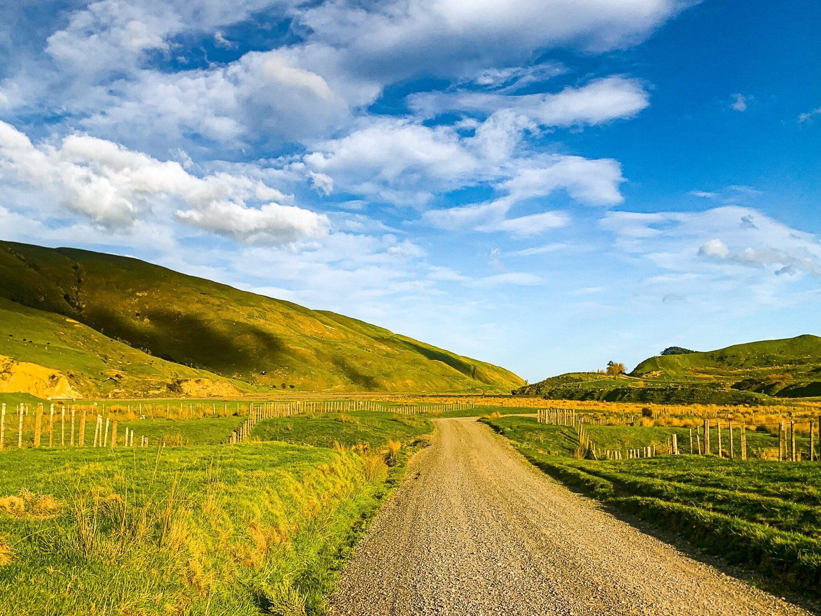
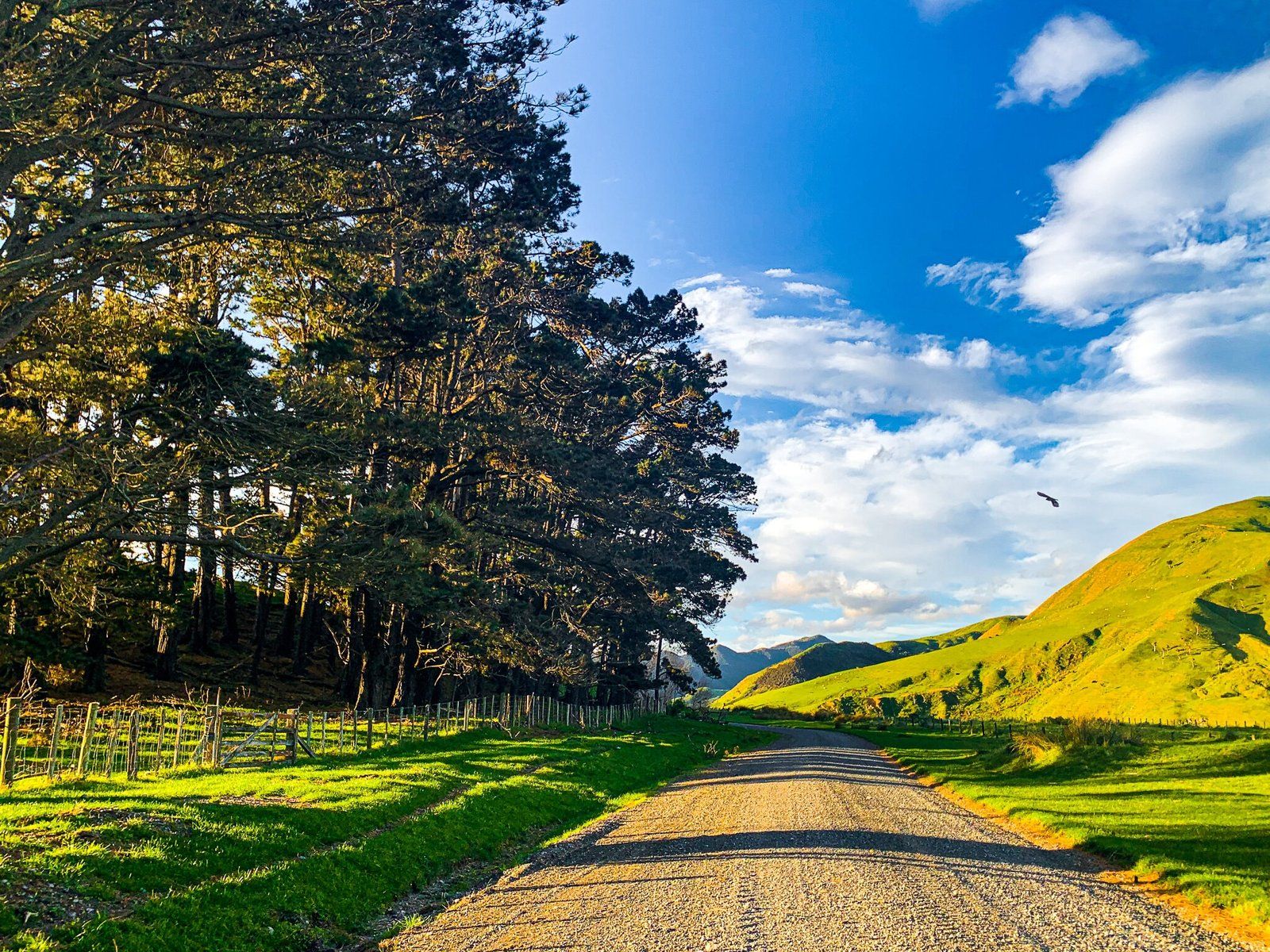
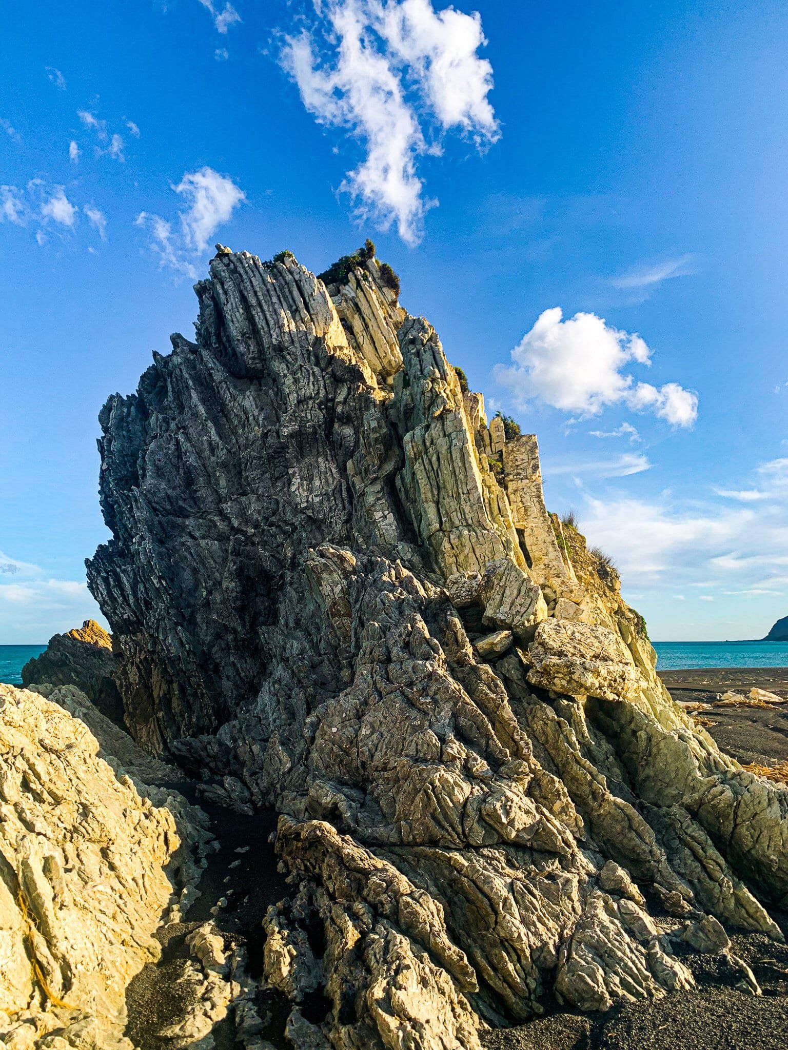
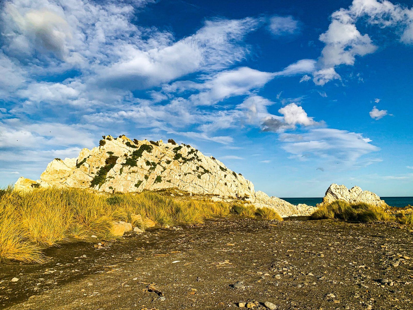
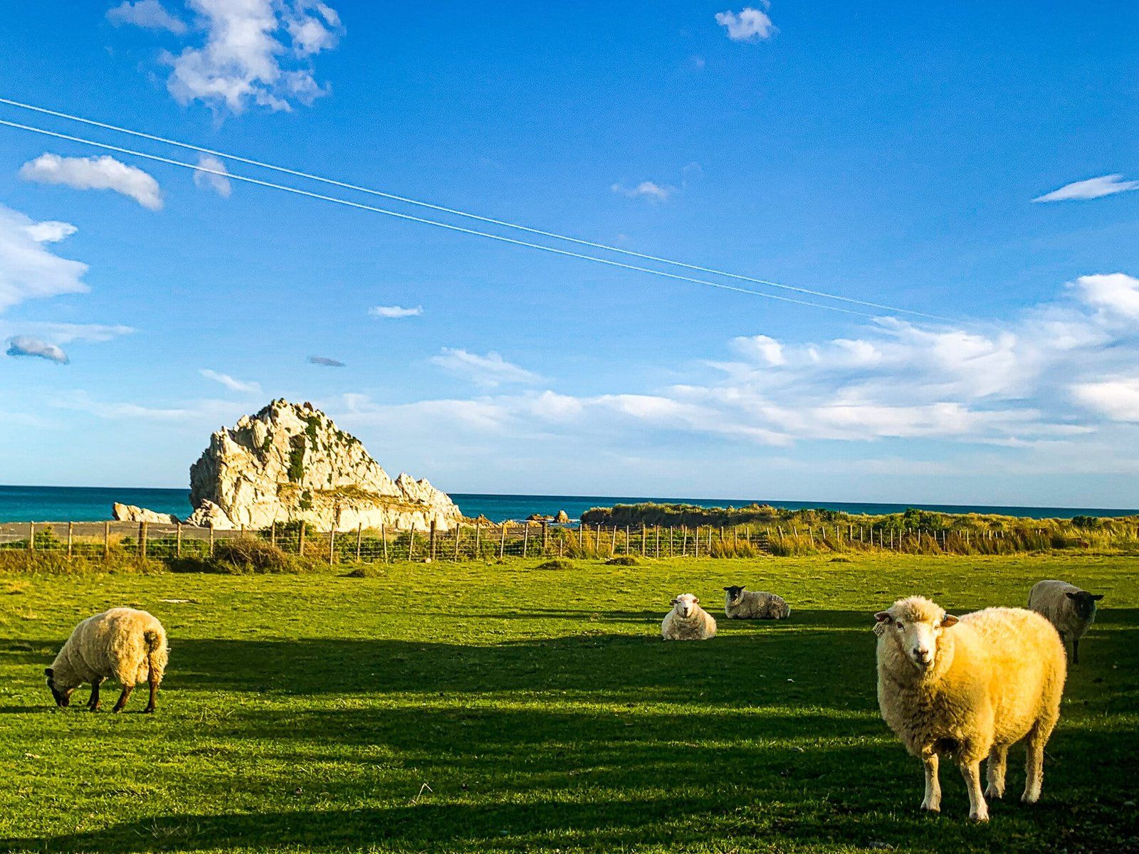
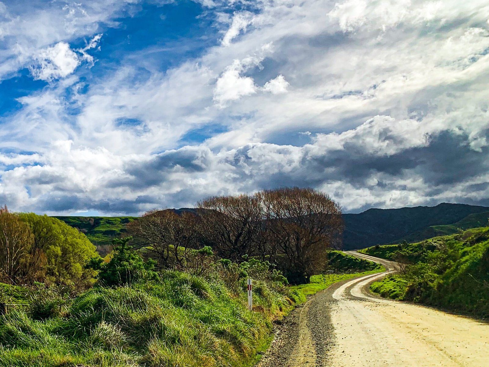
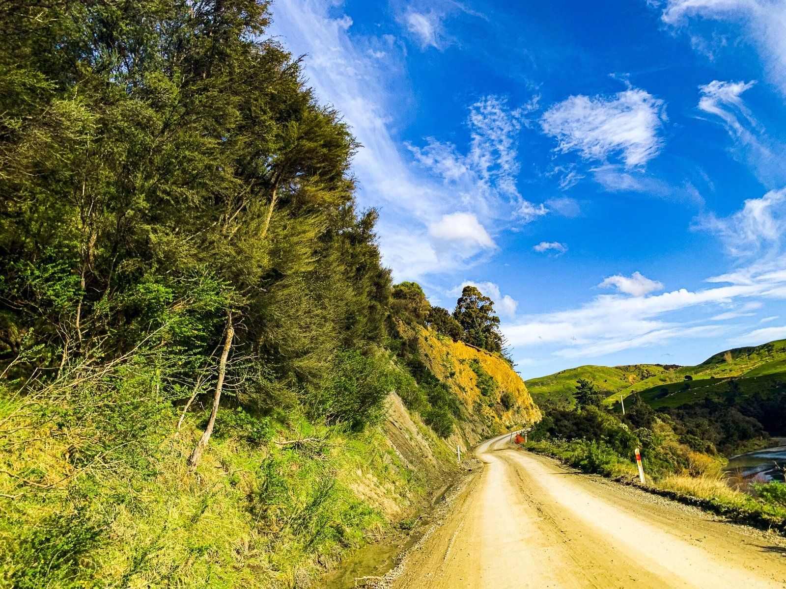
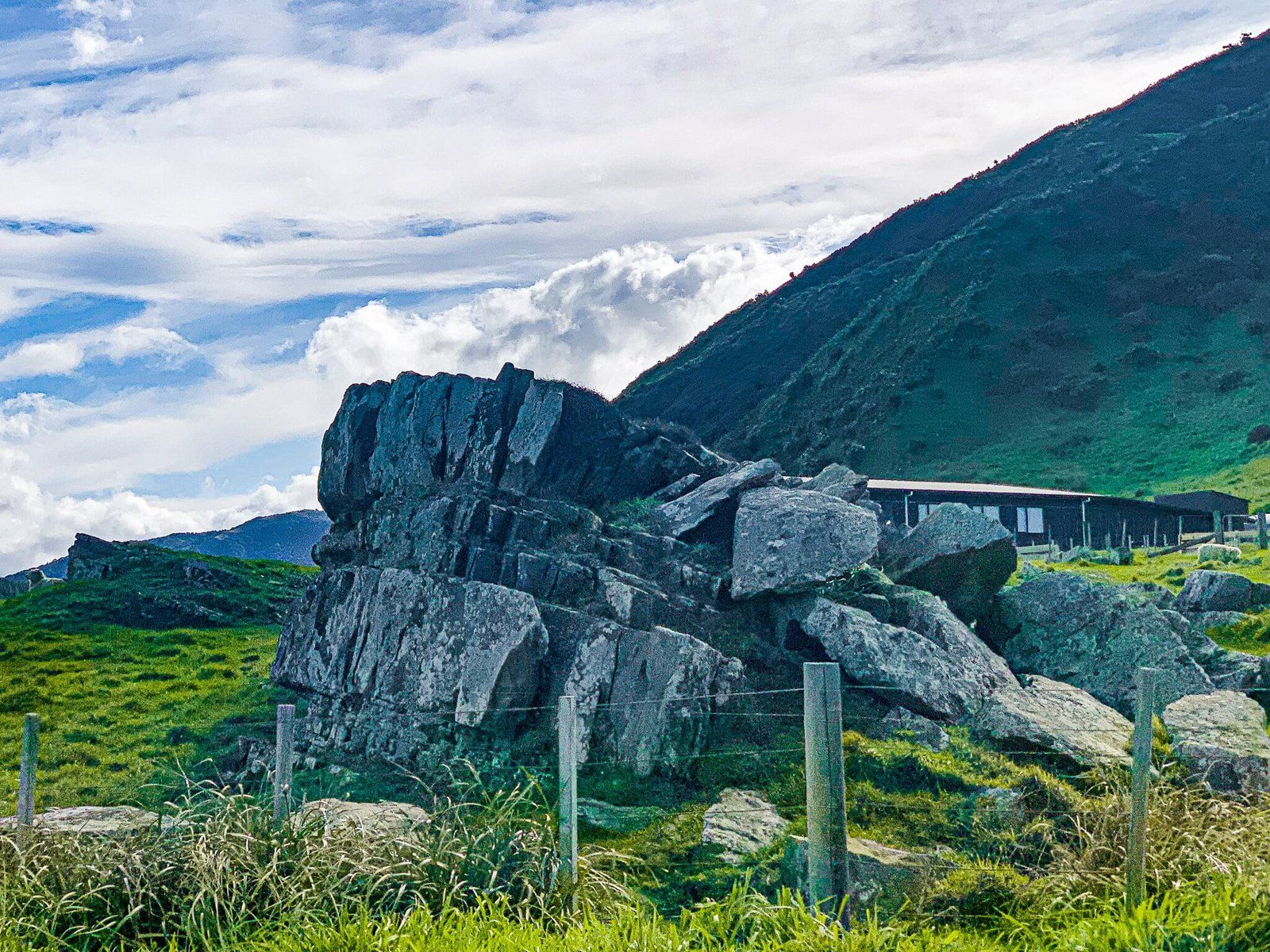
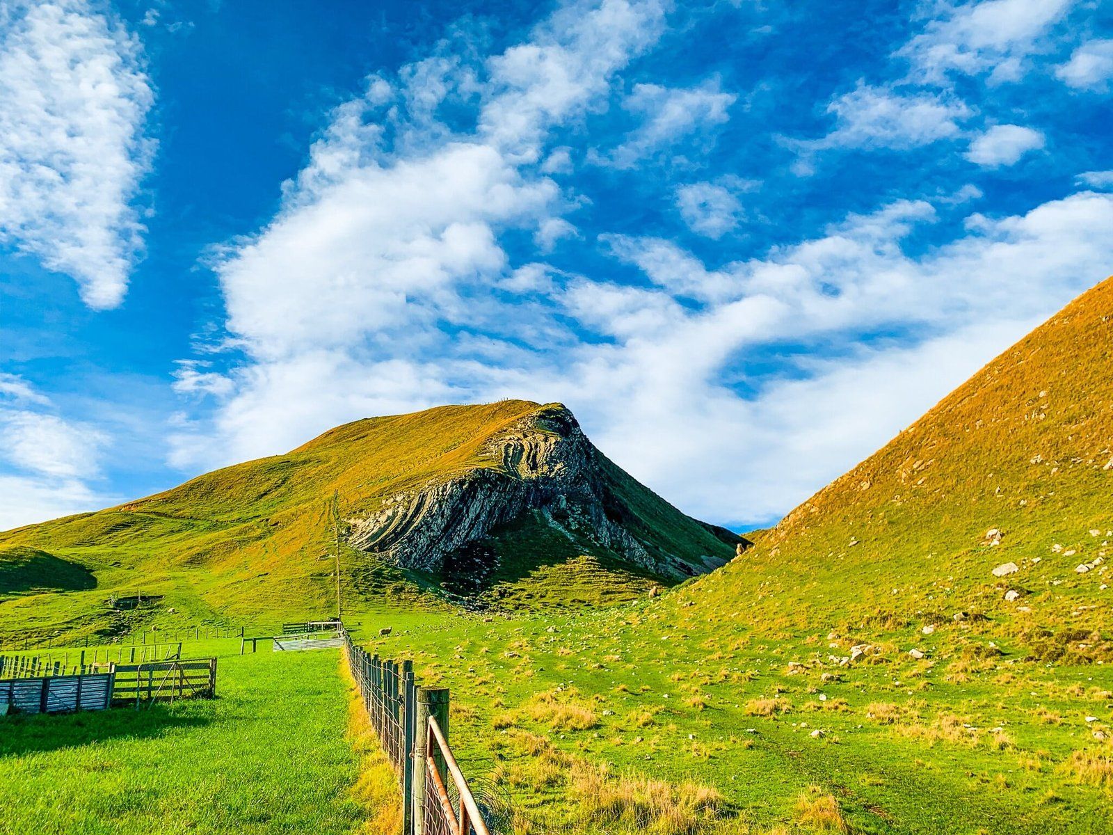
Leading to the stunning beach at White Rock, as well as its namesake geological feature of calcilutite, the road takes about an hour and is half unsealed. A longer trip was required on the day these photos were taken due to the heavy logging machinery being unloaded on the narrow road, but it was certainly worth the wait. Much like the other station backroads around the Wairarapa, White Rock Road is a window into the swathes of sheep and cattle country covering the intricate landscape of Wairarapa mountains, valleys, and rivers that run out to the coast.
White Rock Beach
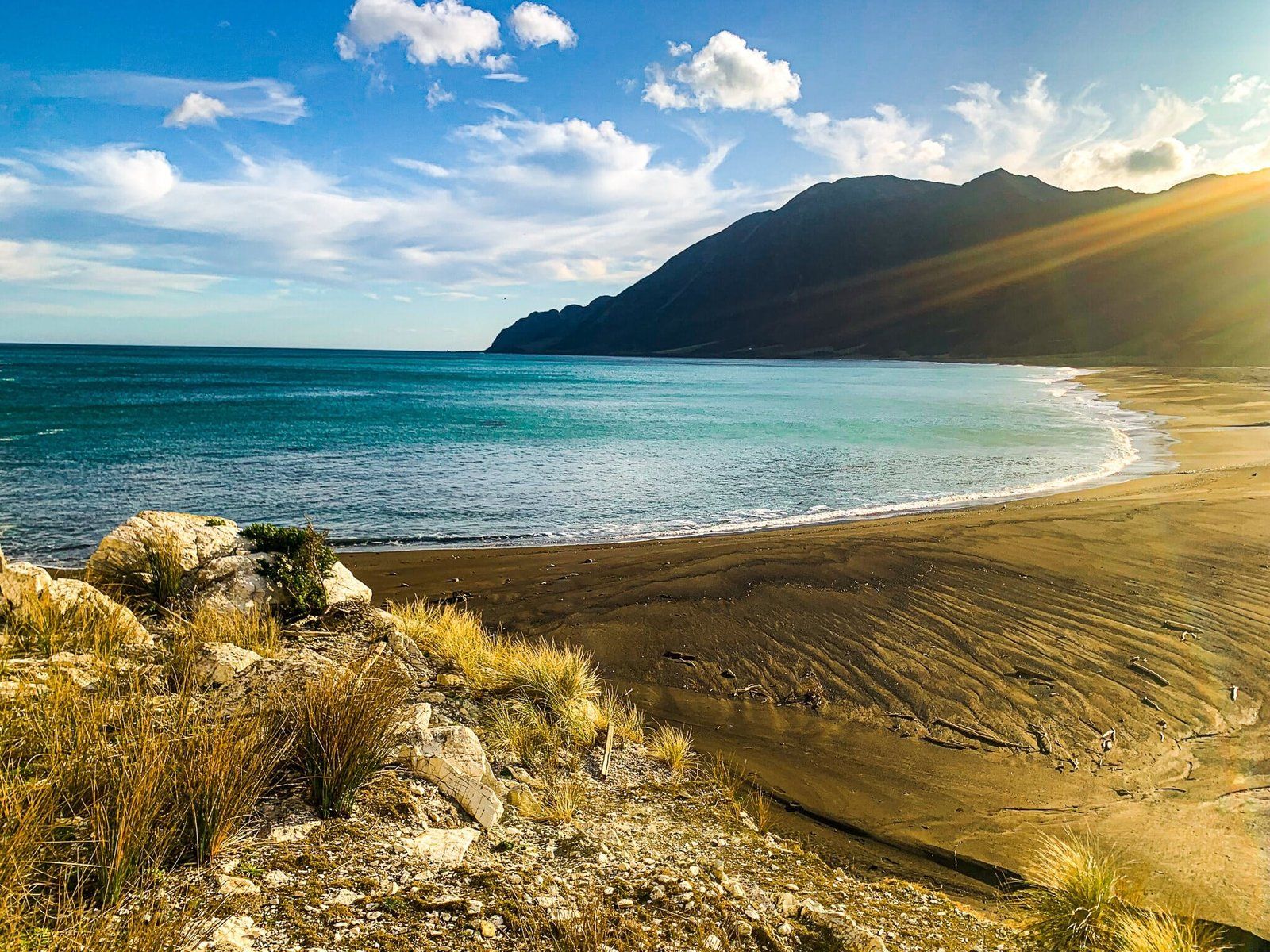
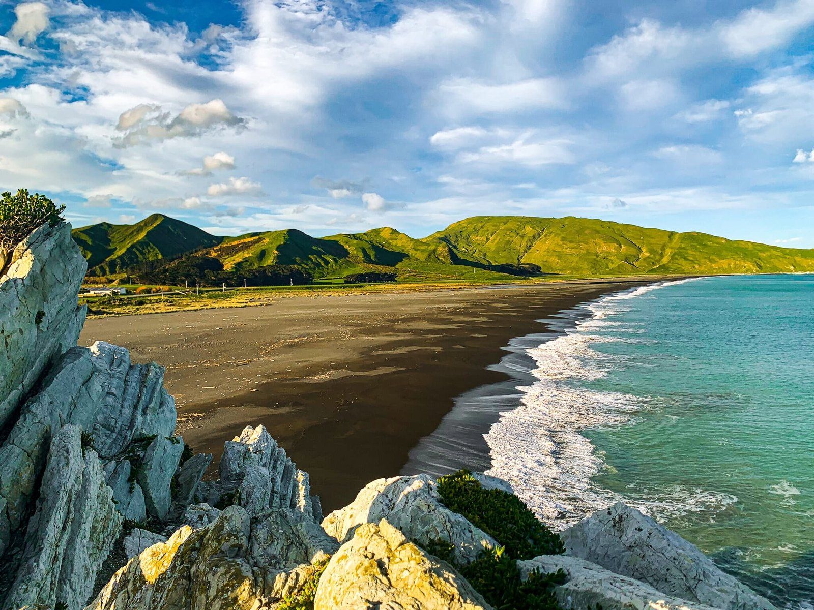
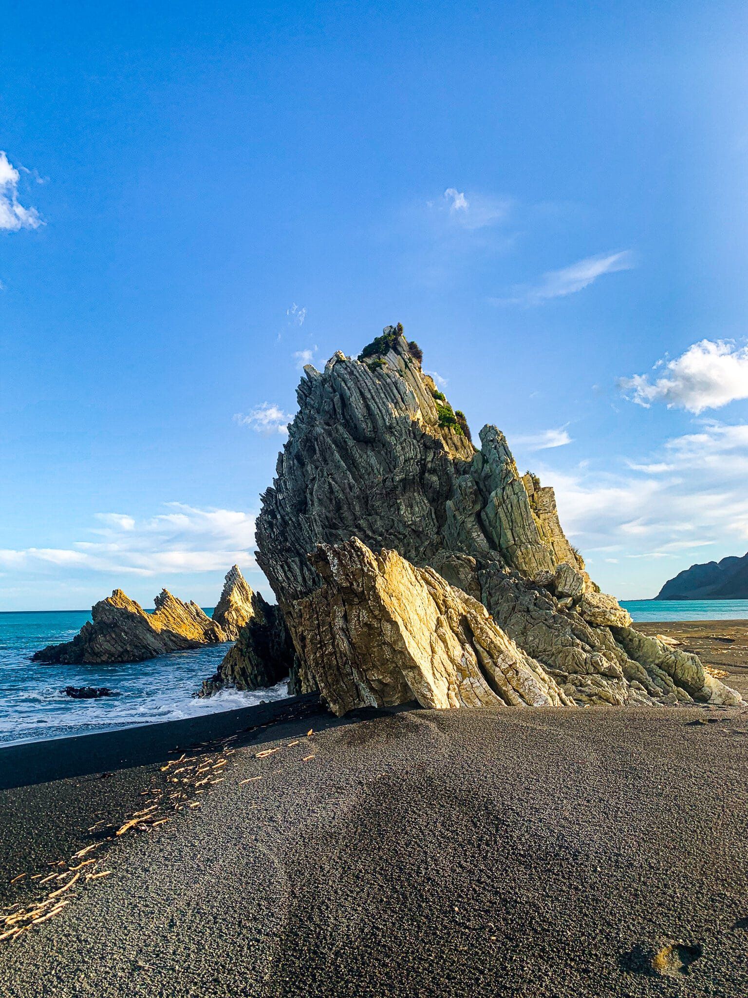
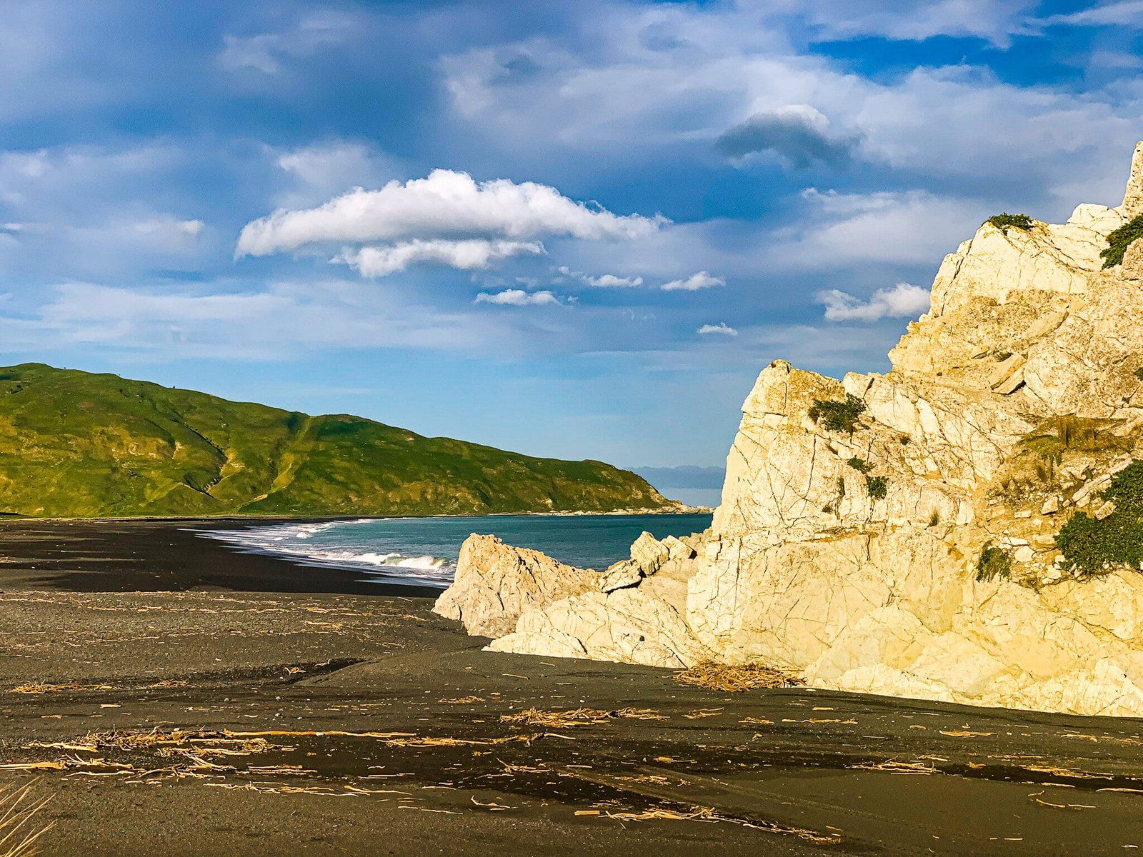
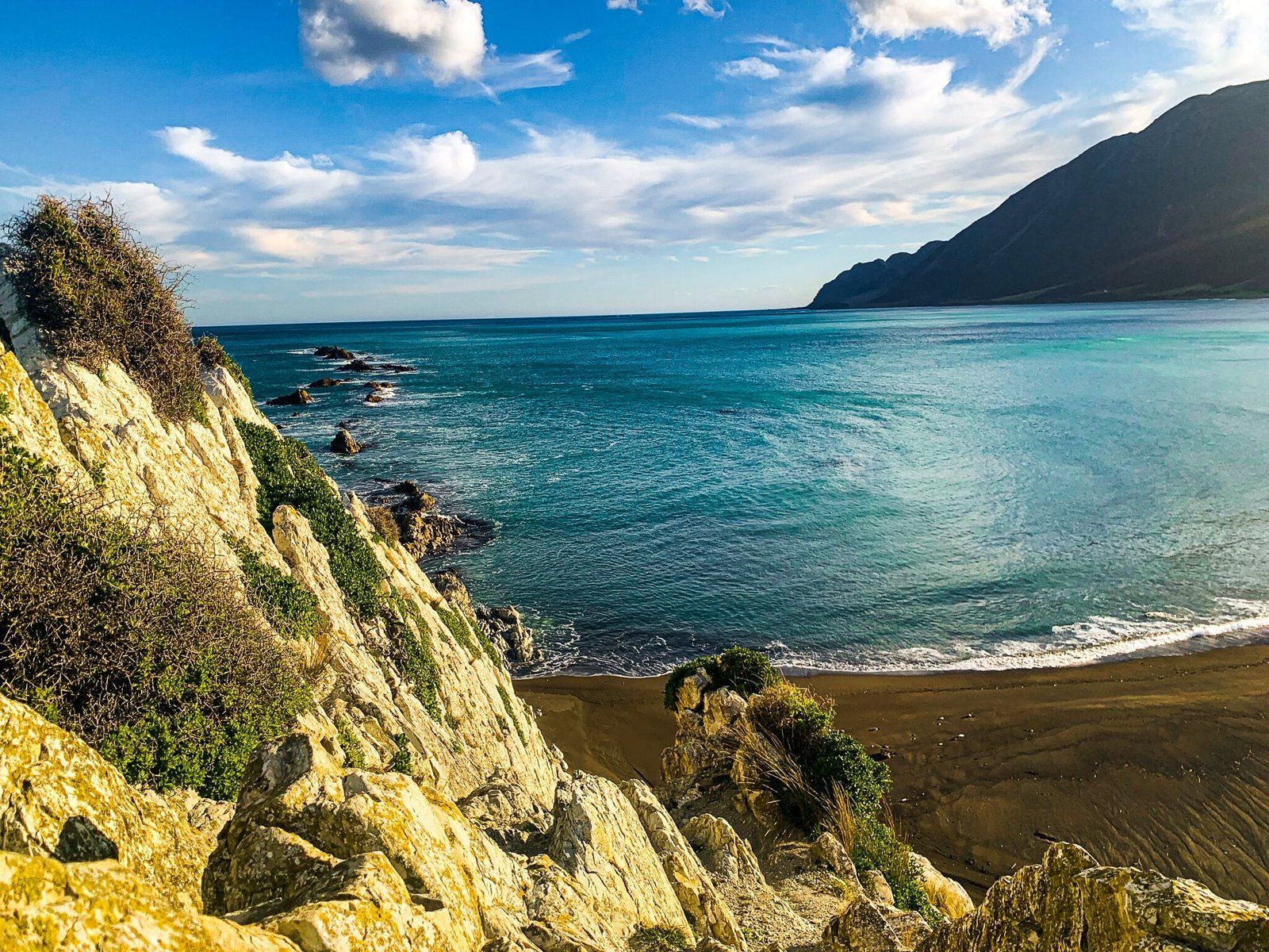
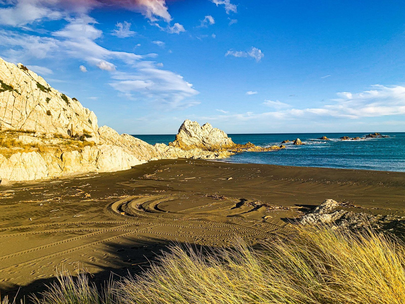
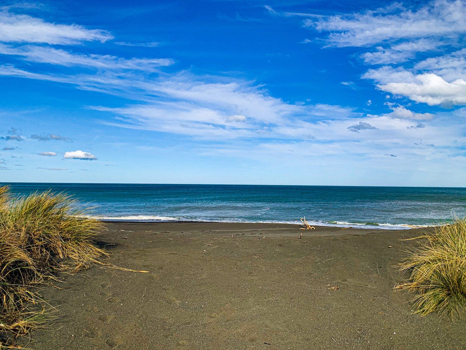
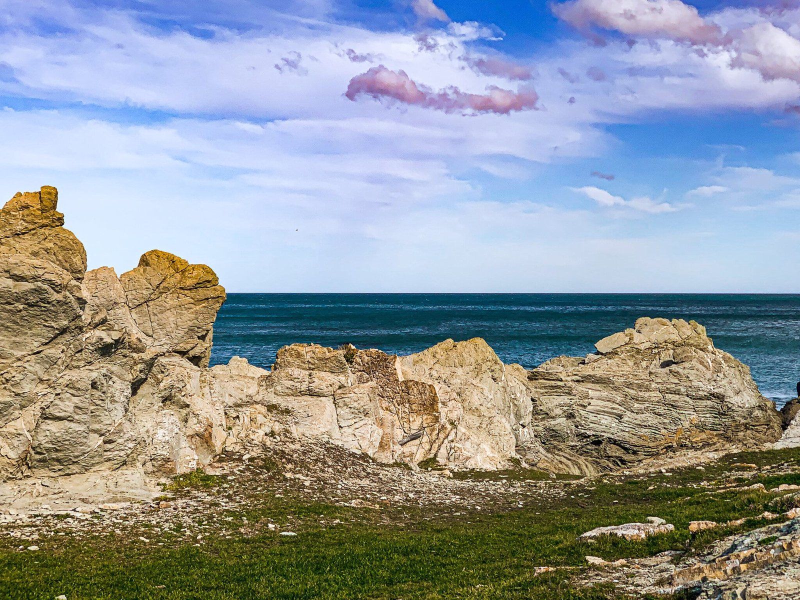
White Rock Beach on the South Wairarapa coast is surprisingly sheltered and perfect for exploring. It is an ideal picnic spot on the coast, while the Rock itself was great fun for climbing up. There is a clear path up to the peak starting on the southwest side of the rock, with a wonderful view of the coast from the top. However, there are some steep drops and the rock can be slippery so we advise caution.
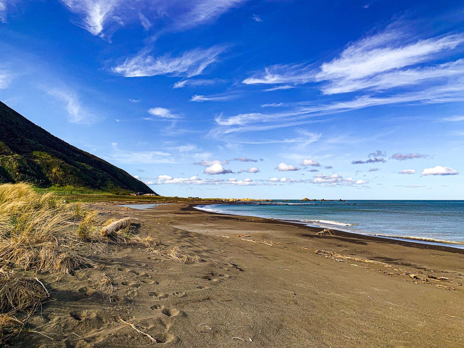
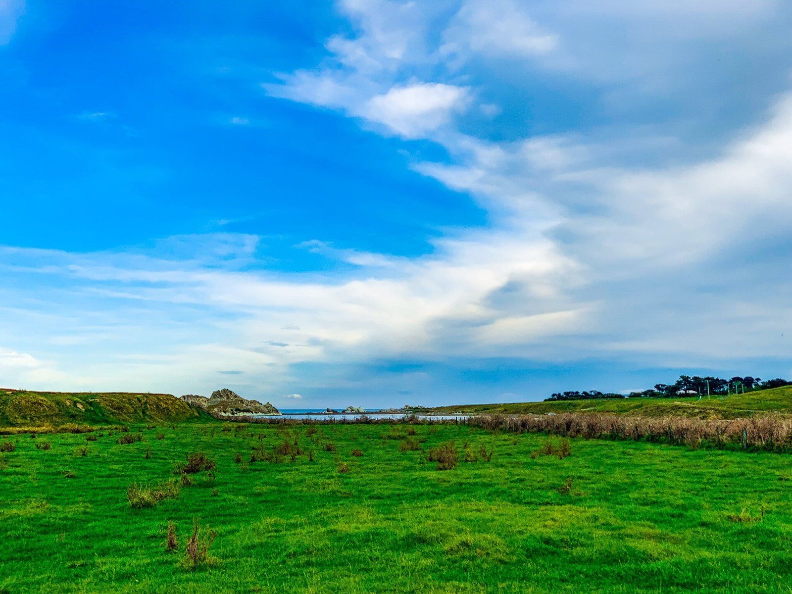
Once you can see the ocean from White Rock Road, follow the road right towards the obvious white rock emerging from the sand. You can park on the grass next to the black sand beach off Ngapotiki Road and explore by foot from there.
As with much of the Wairarapa coast, the sea here is pretty wild and isolated, so swimming is not advised. However, you are likely to have the wide beach all to yourself if you make it to the end of the road! There is also a popular surfing spot at Dolphin Bay, a 10-15 min walk from the main beach.
Tora Road
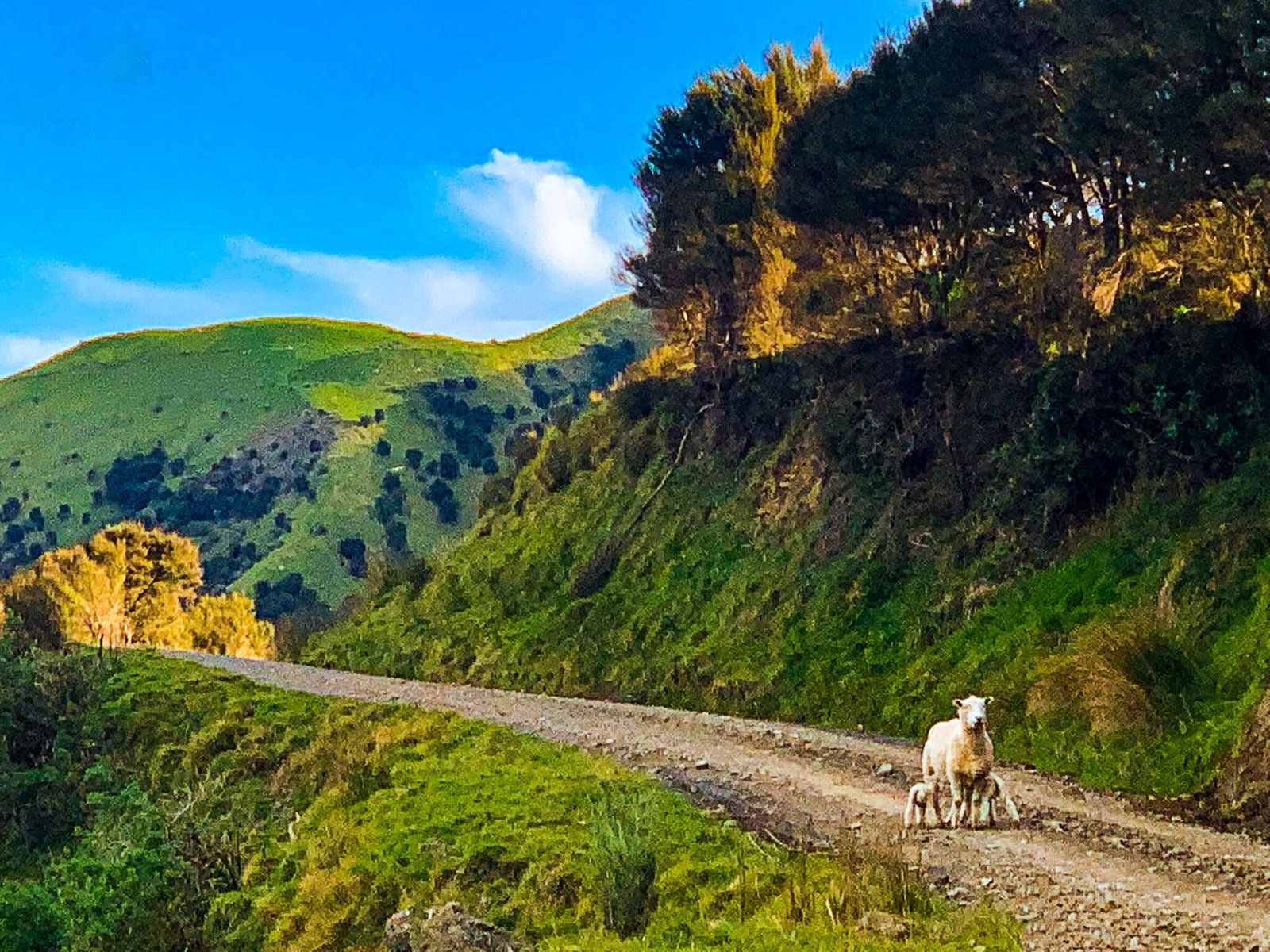
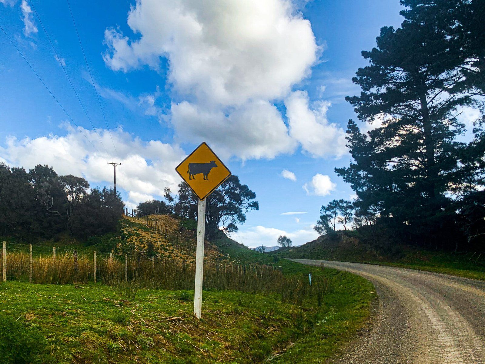
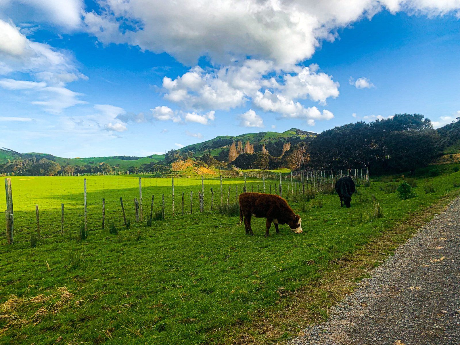
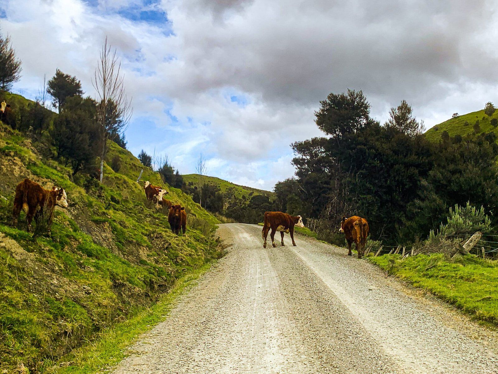
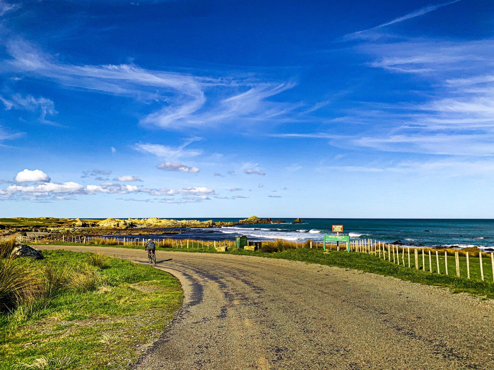
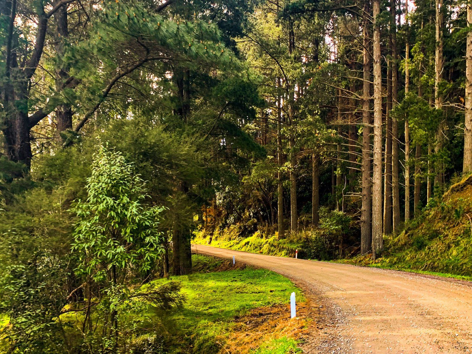
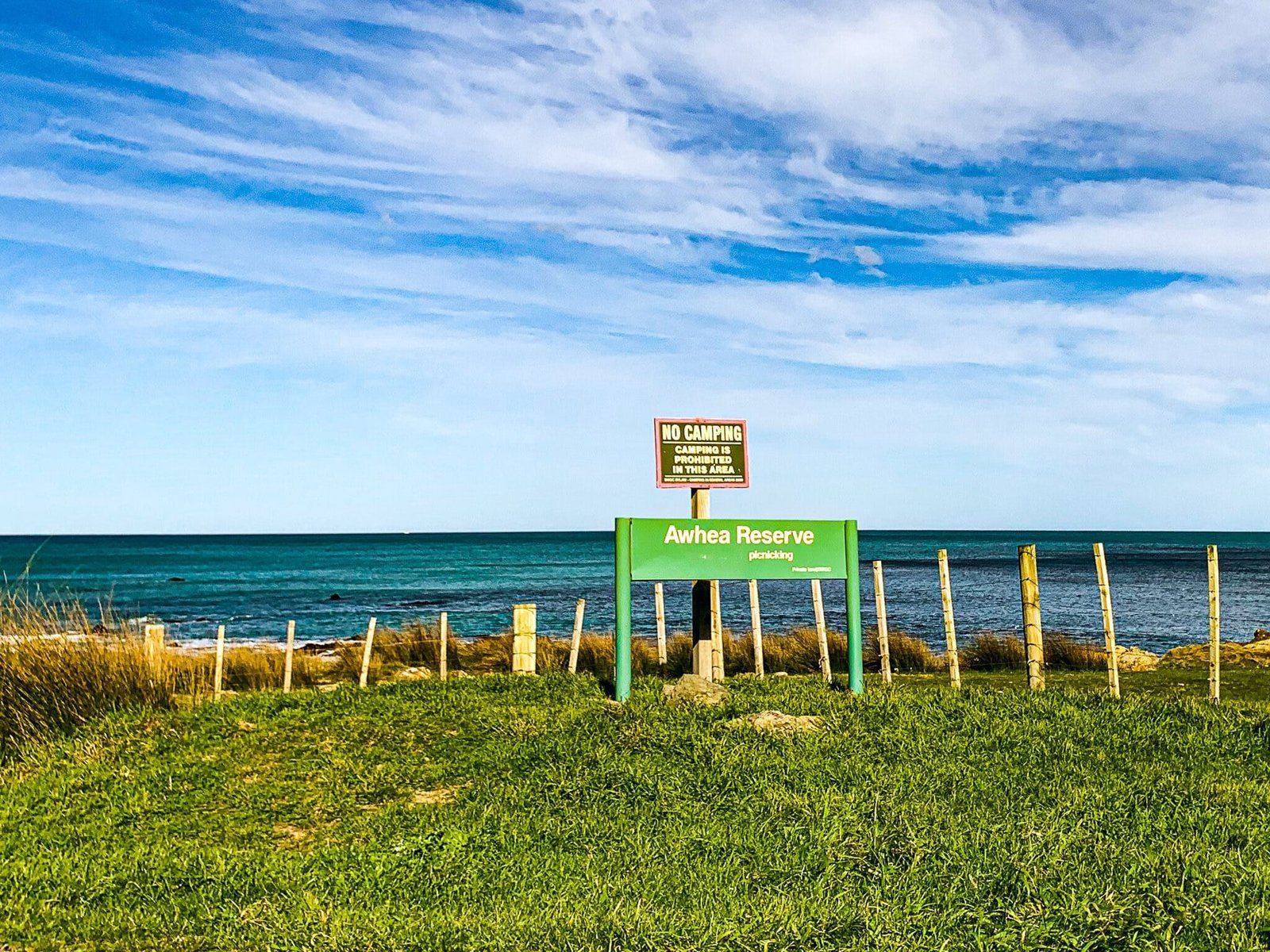
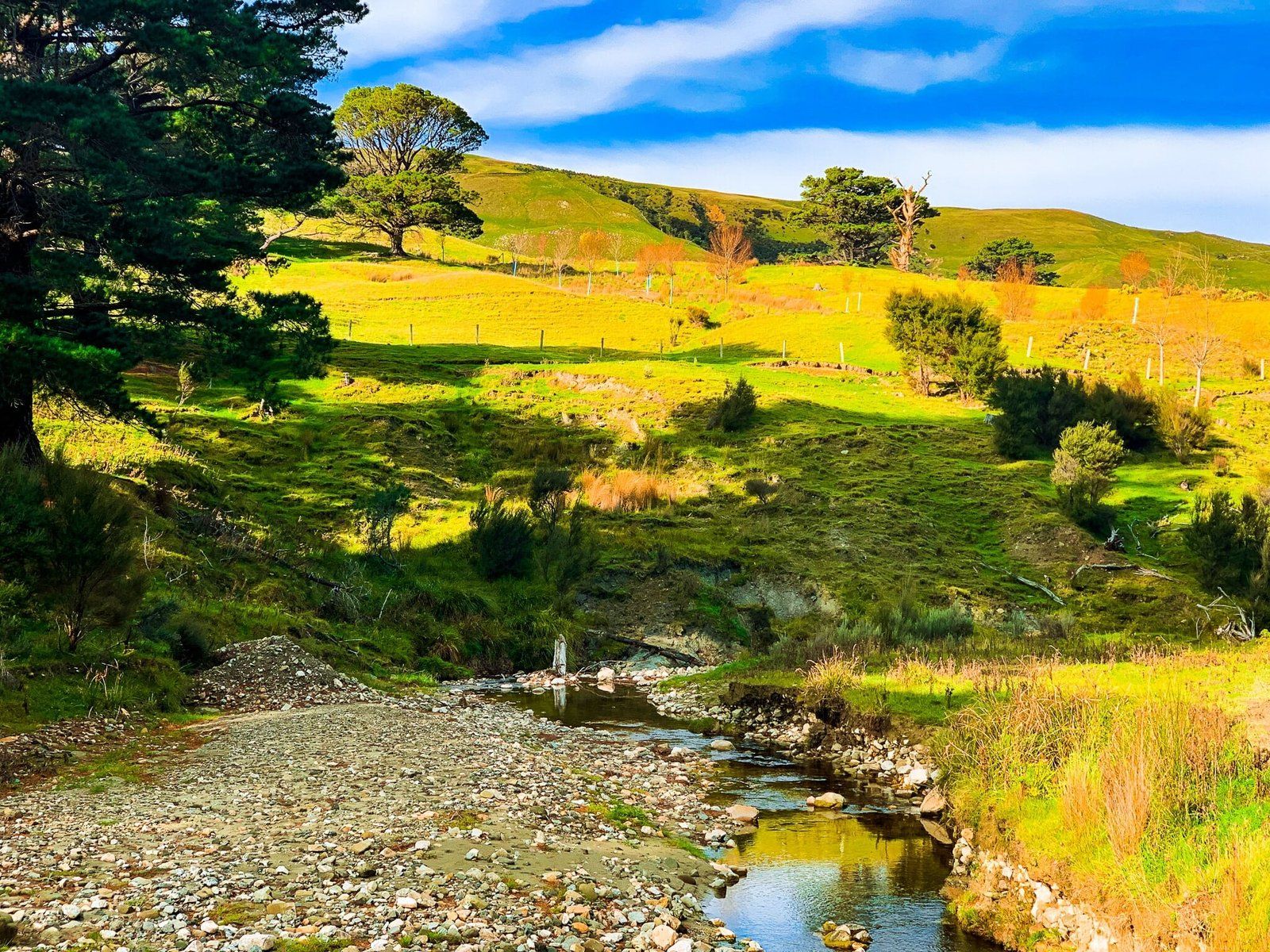
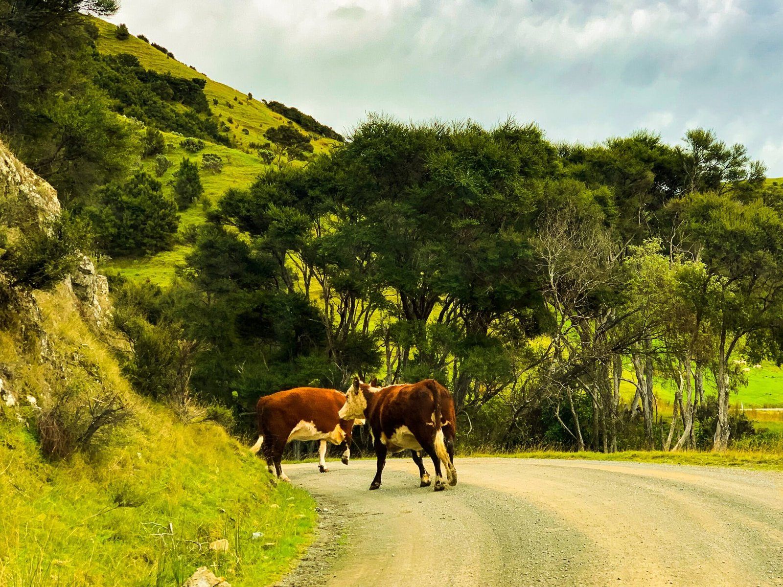
About halfway down White Rock Road, a left turn for the signposted Tora Road will take you out to the coast north of White Rock, to Manurewa Point. The winding road will take you past the hamlets of Little Tora, Heather Hills, and Awhea, and introduce you to many bovine and ovine locals. As such, beware of your speed on the largely gravel road, as the cows aren’t always the quickest to move out of your way.
You will also pass the entry point for the three-day Tora Coastal Walk, which needs to be booked a season or two ahead.
Tora Beaches
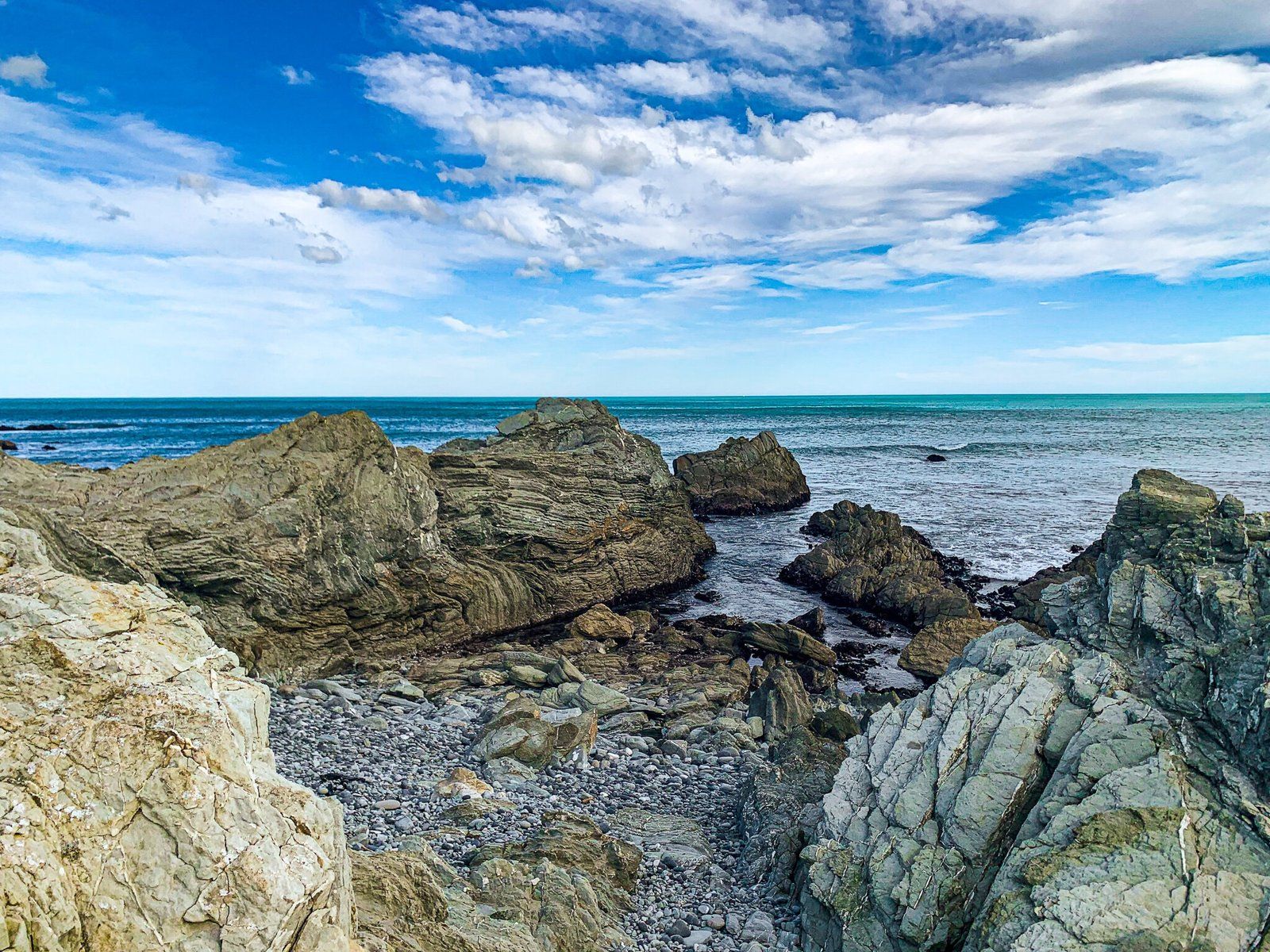
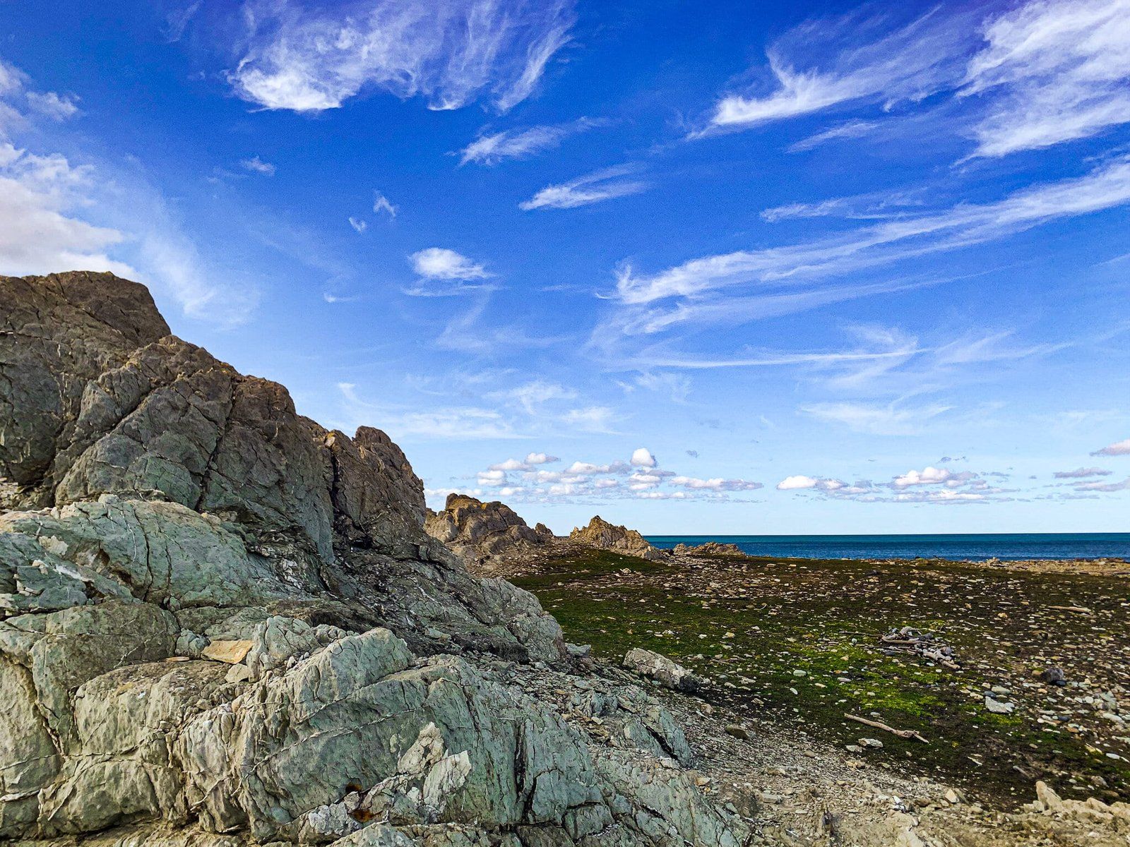
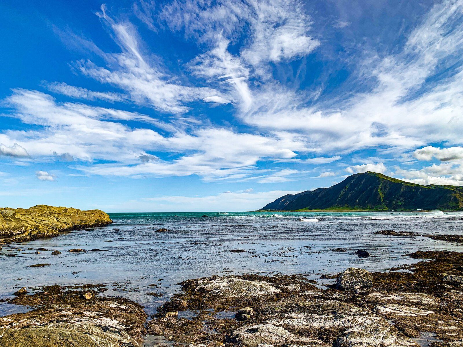
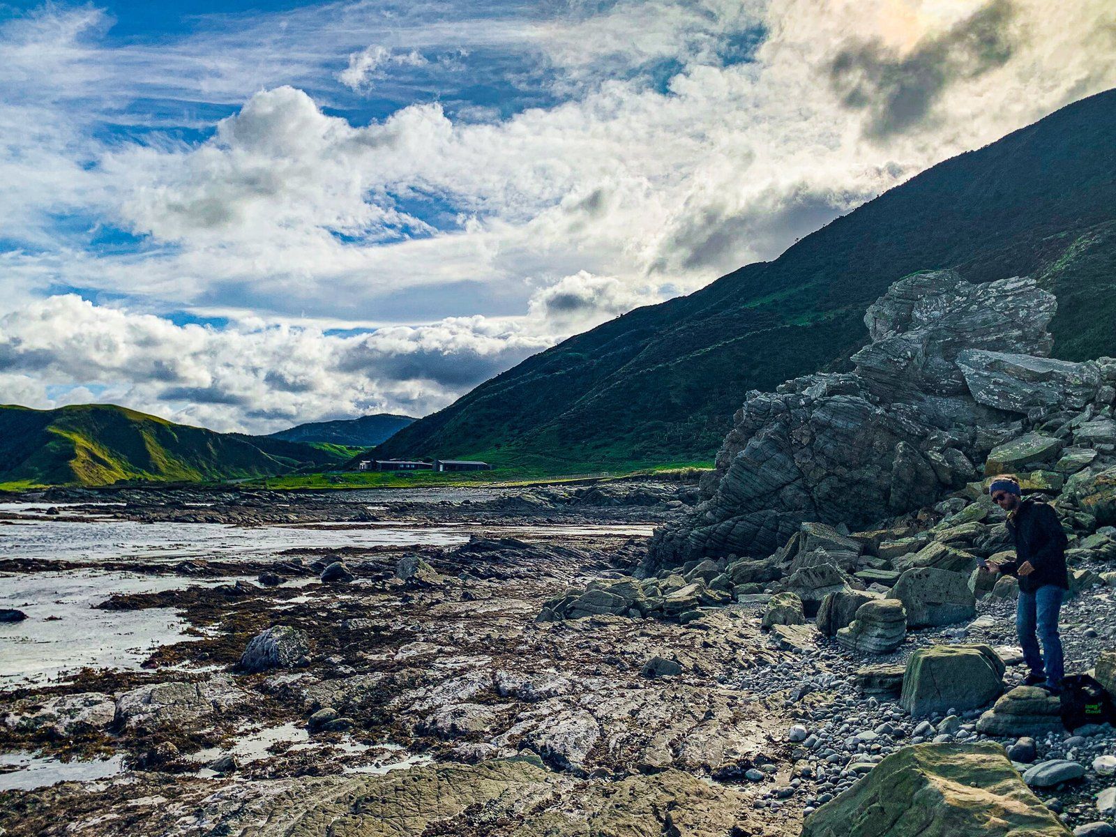
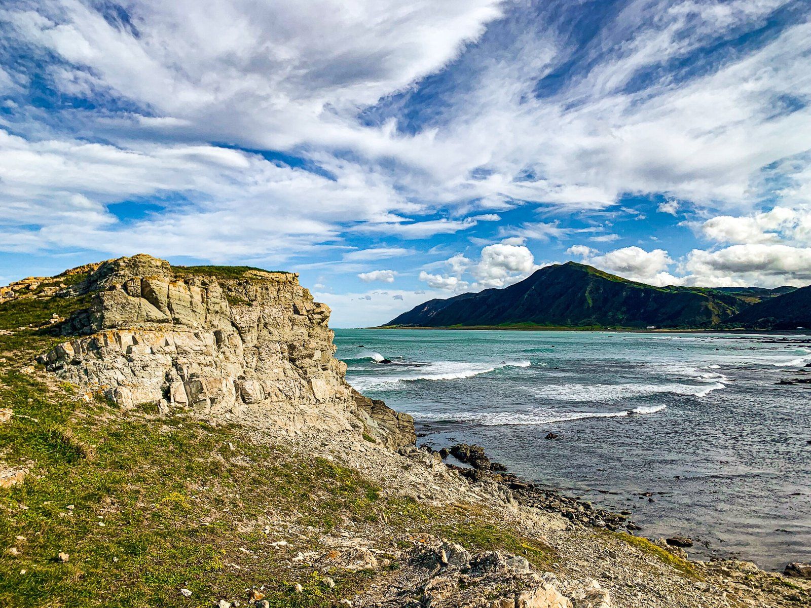
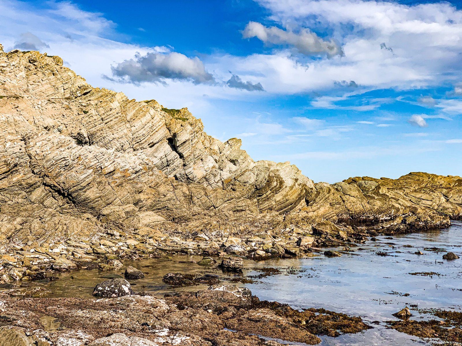
At the end of Tora Road, you can either turn right onto Tora Settlement Road to cross the Awhea River and stop at North Tora Beach Reserve, or left onto Te Awaiti Road to the scientific reserve on the point, or, further along, to Sandy Bay Recreational Reserve. We recommend doing both if you have the time – exploring the rocks at the scientific reserve is good fun, with rock pools and fascinating stones for geology buffs, while North Tora Beach offers a more relaxed sandy setting. On the day these pictures were taken, there were extremely cold winds, so we didn’t stay for long, but in the summer Tora hosts a music festival, Tora Bombora, with overnight camping.
Pahaoa Station
If getting lost on backroads is your idea of a good time, the drive to Pahaoa Station and the adjacent beach will be up your alley!
From Martinborough, head east on Hinakura Road to Hinakura Hall and from there continue on to Bush Gully and Pahaoa Road, following the Pahaoa River south.
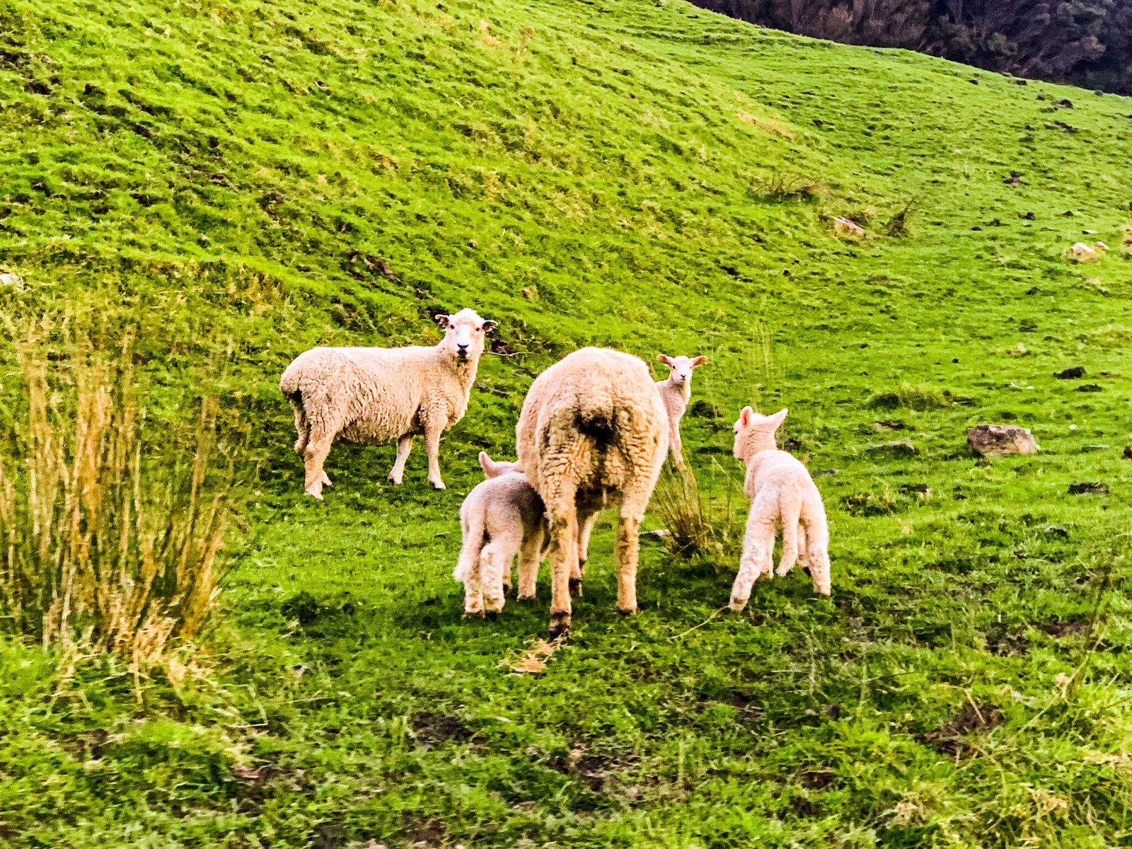
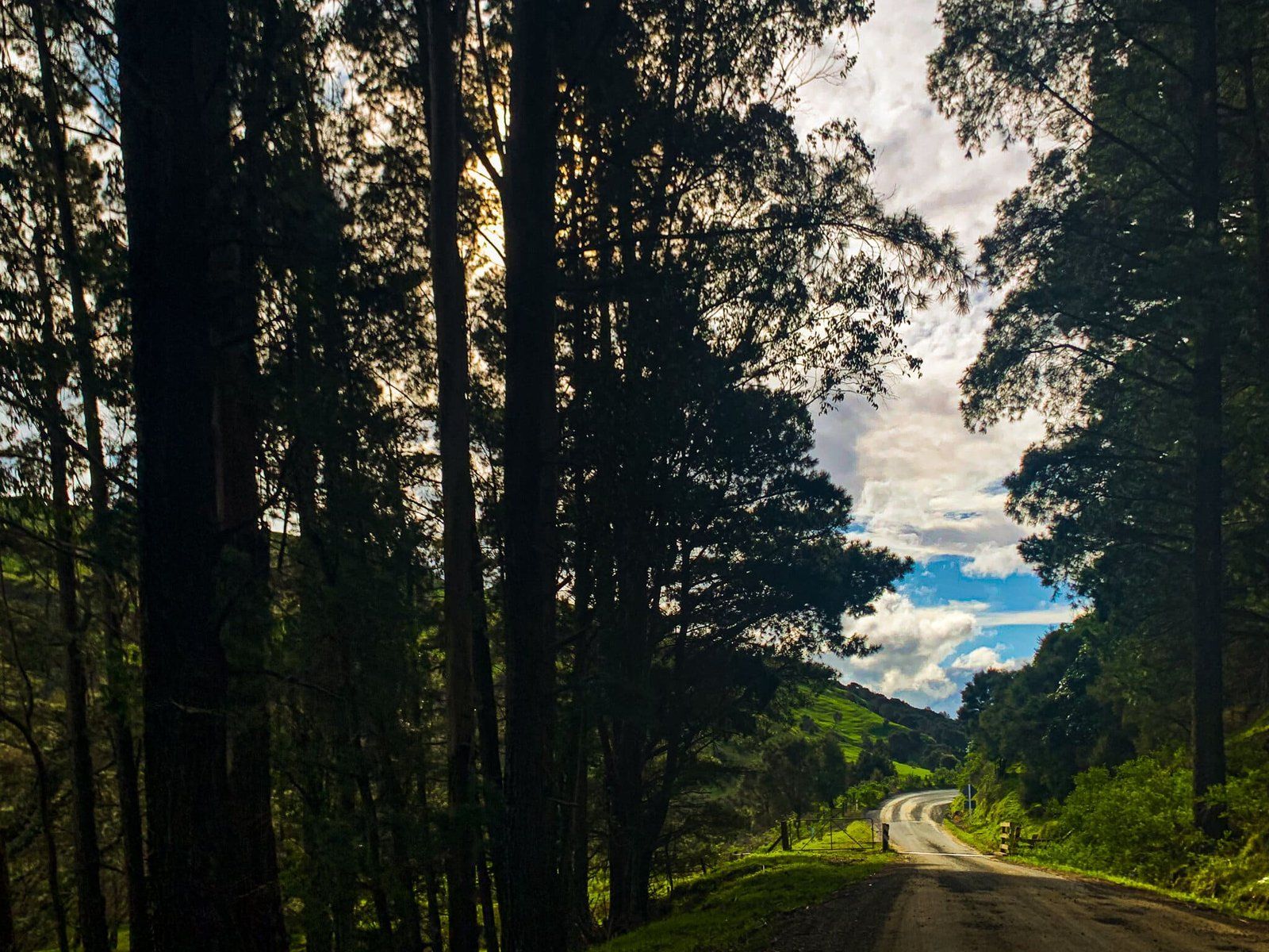
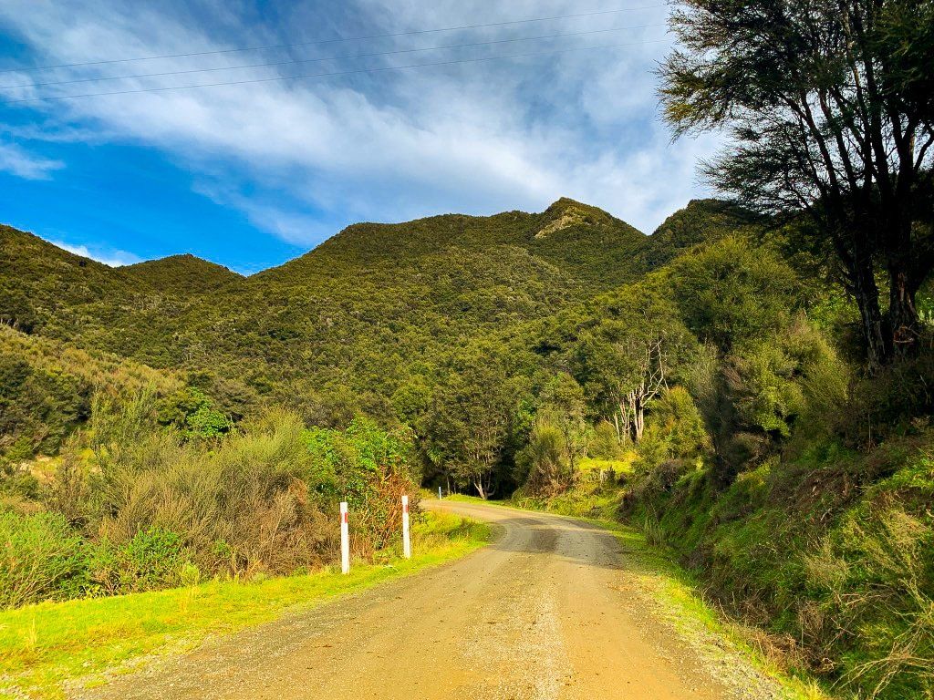
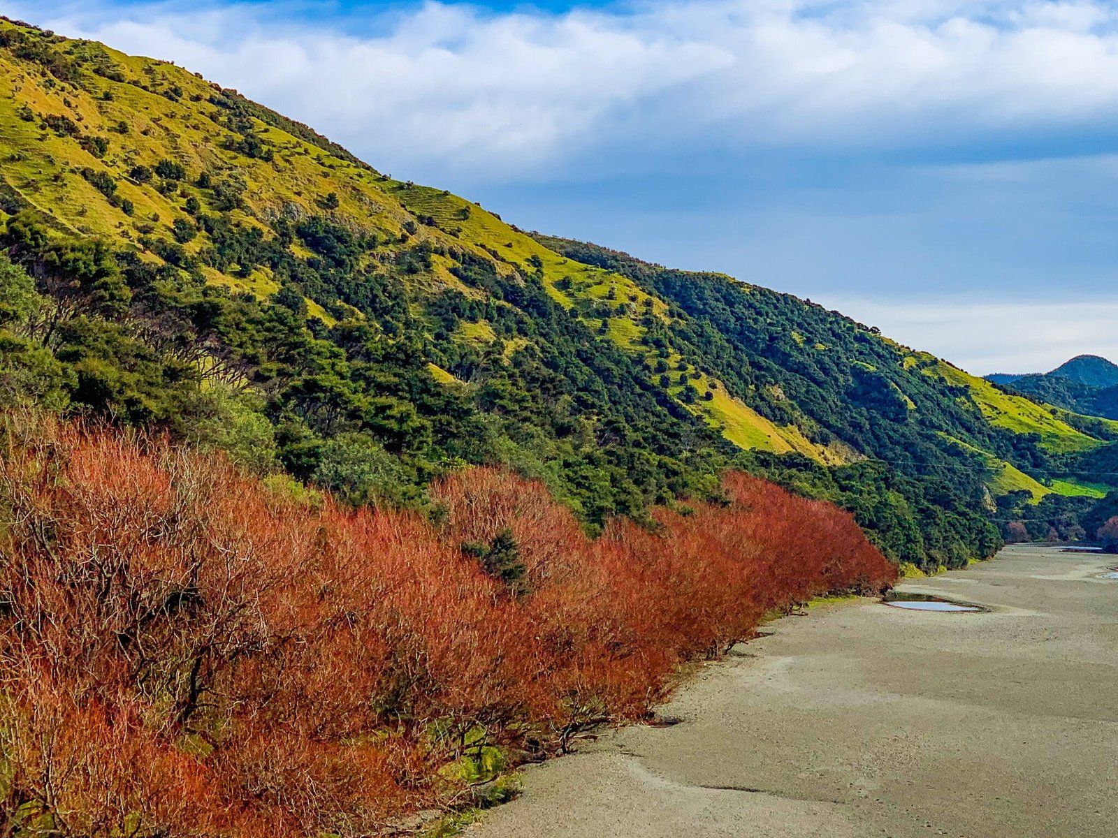
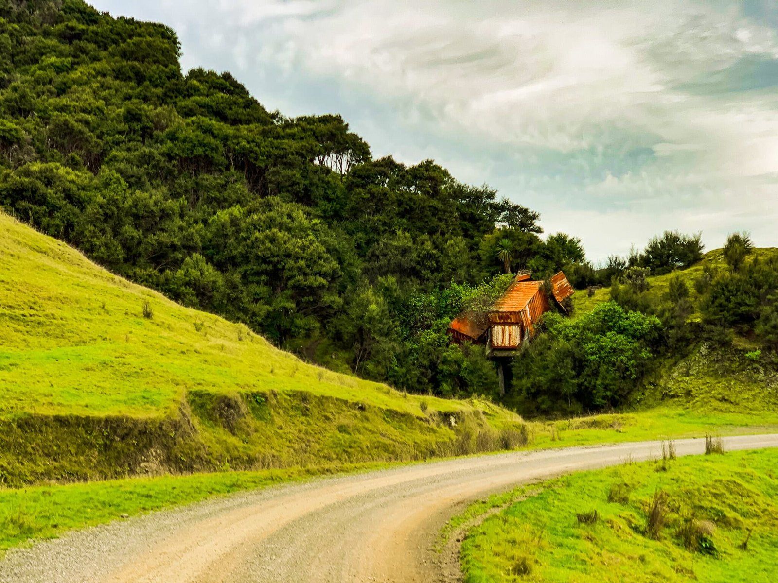
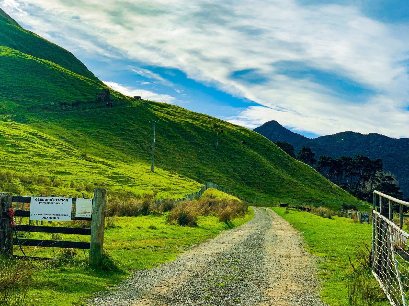
The sealed road gives way to gravel and signs inform travelers that dogs and guns are not permitted on the Station. At this point the landscape transforms, too, turning from pastoral grazing land back to clumps of native bush. But don’t let the ti kouka and manuka fool you, there is still a decent number of cows and sheep through the Station, often standing in the middle of the road as you round a sharp corner! The road is narrow, windy, and has no markings, meaning the best way to travel it is slowly, though there were no other vehicles exploring on the day in question.
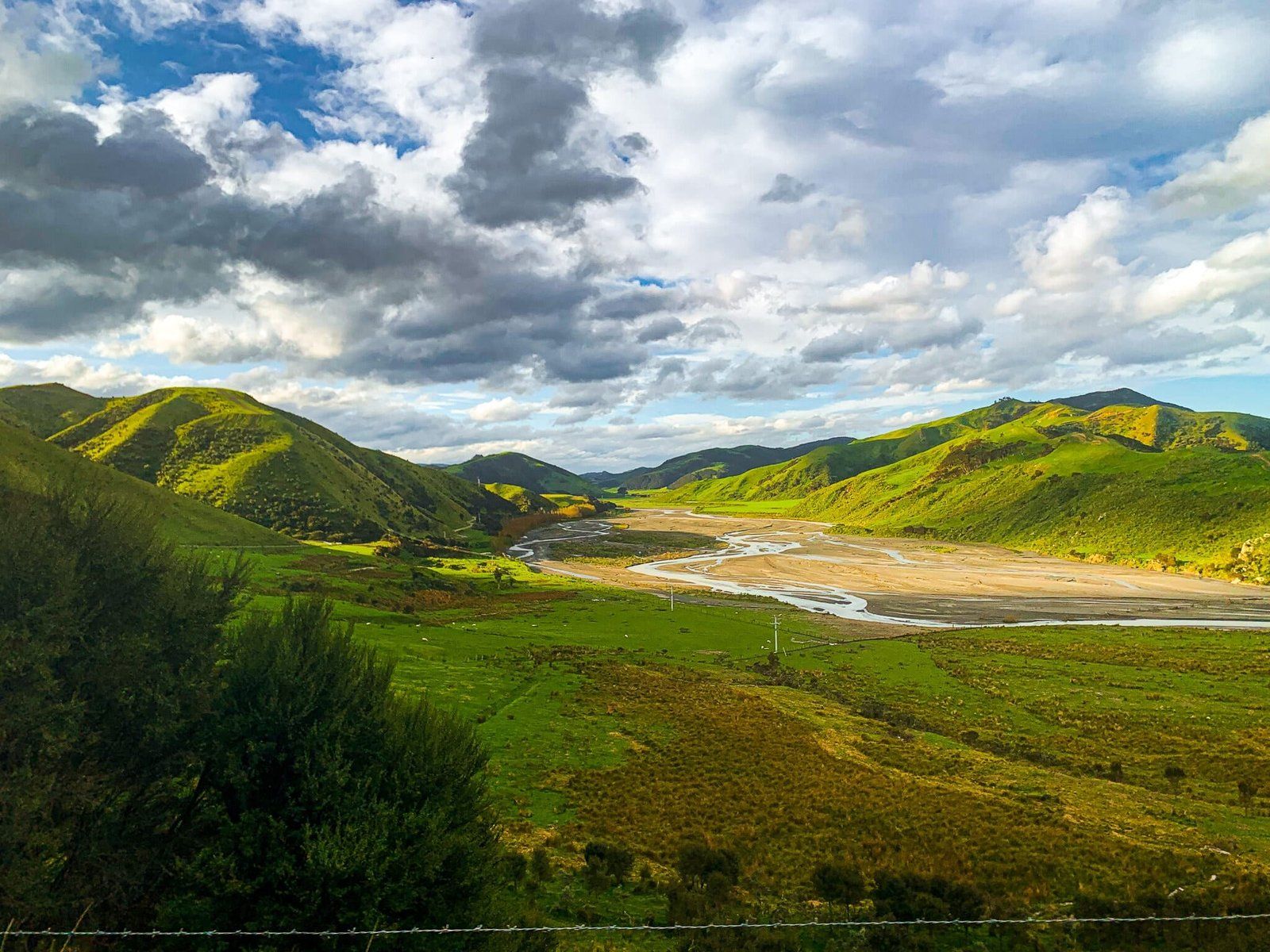
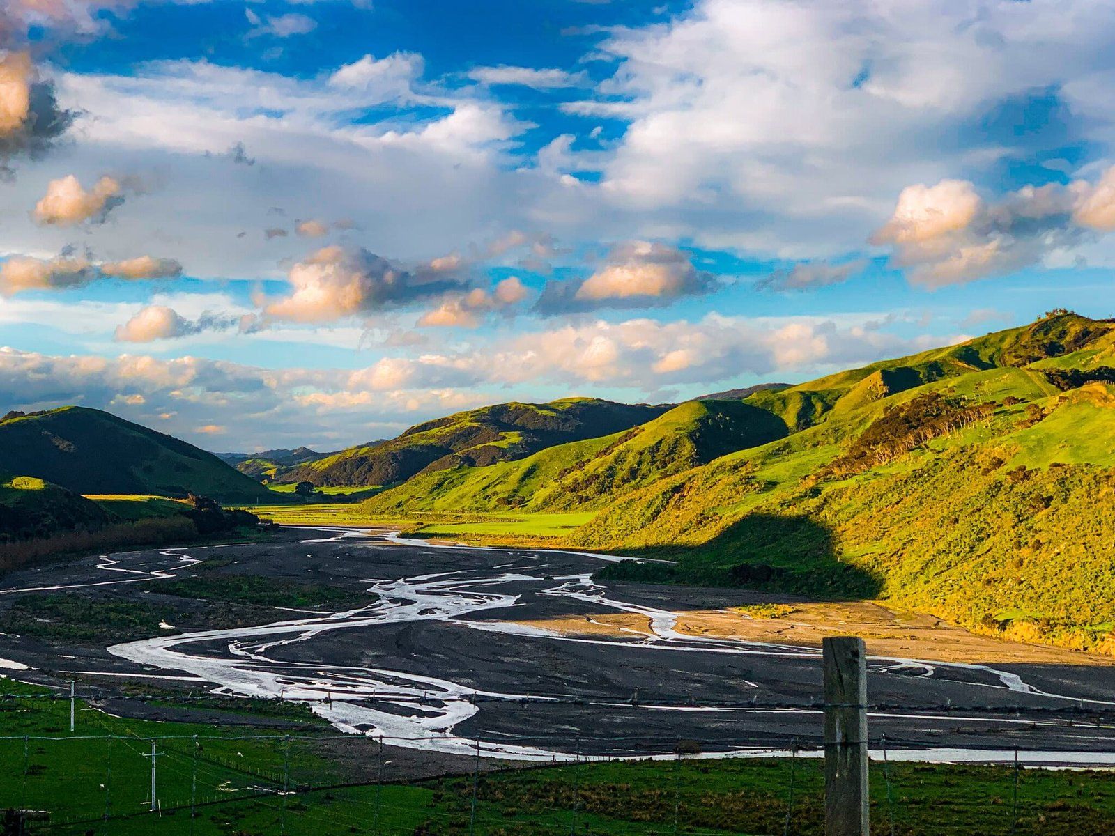
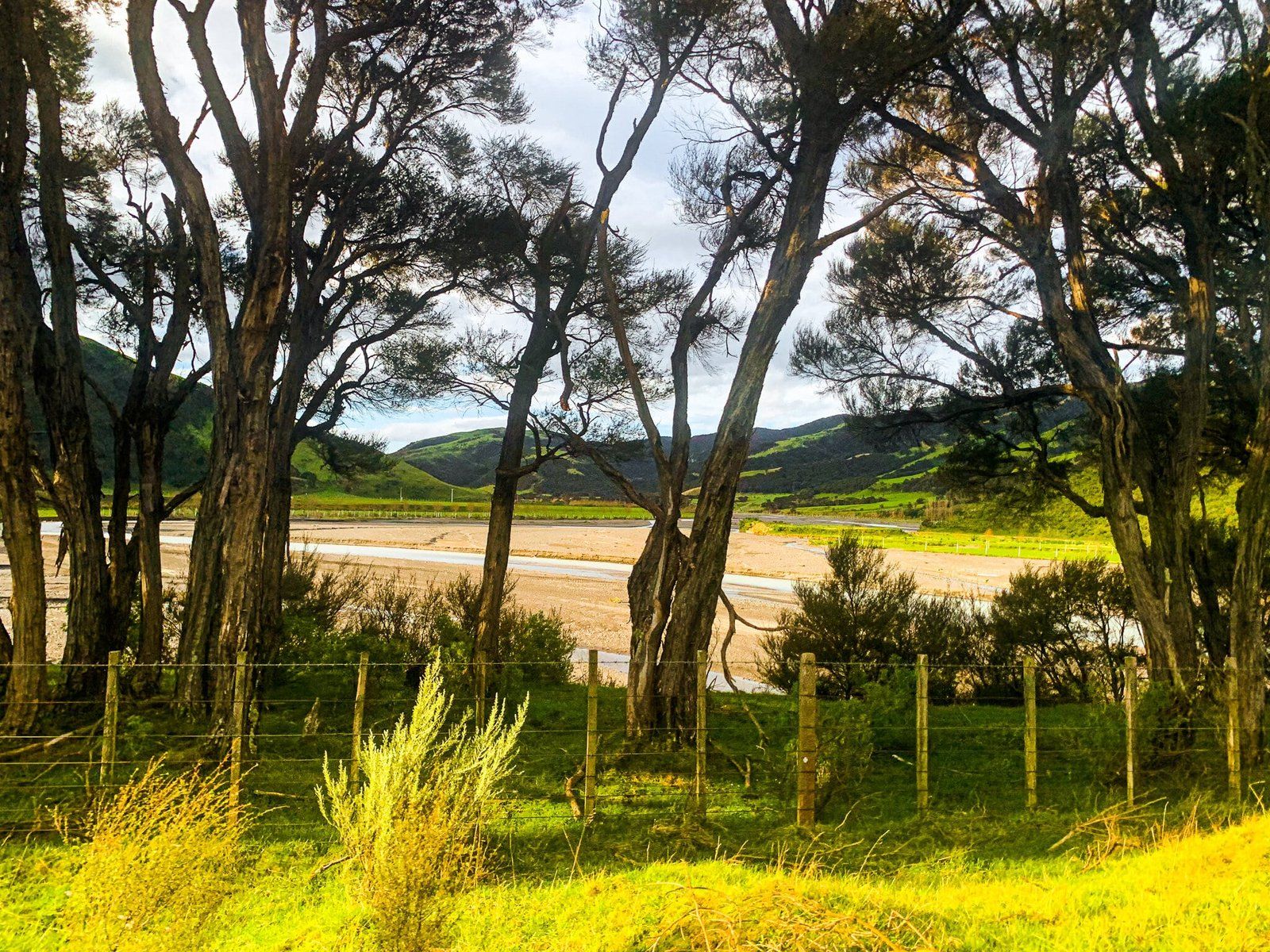
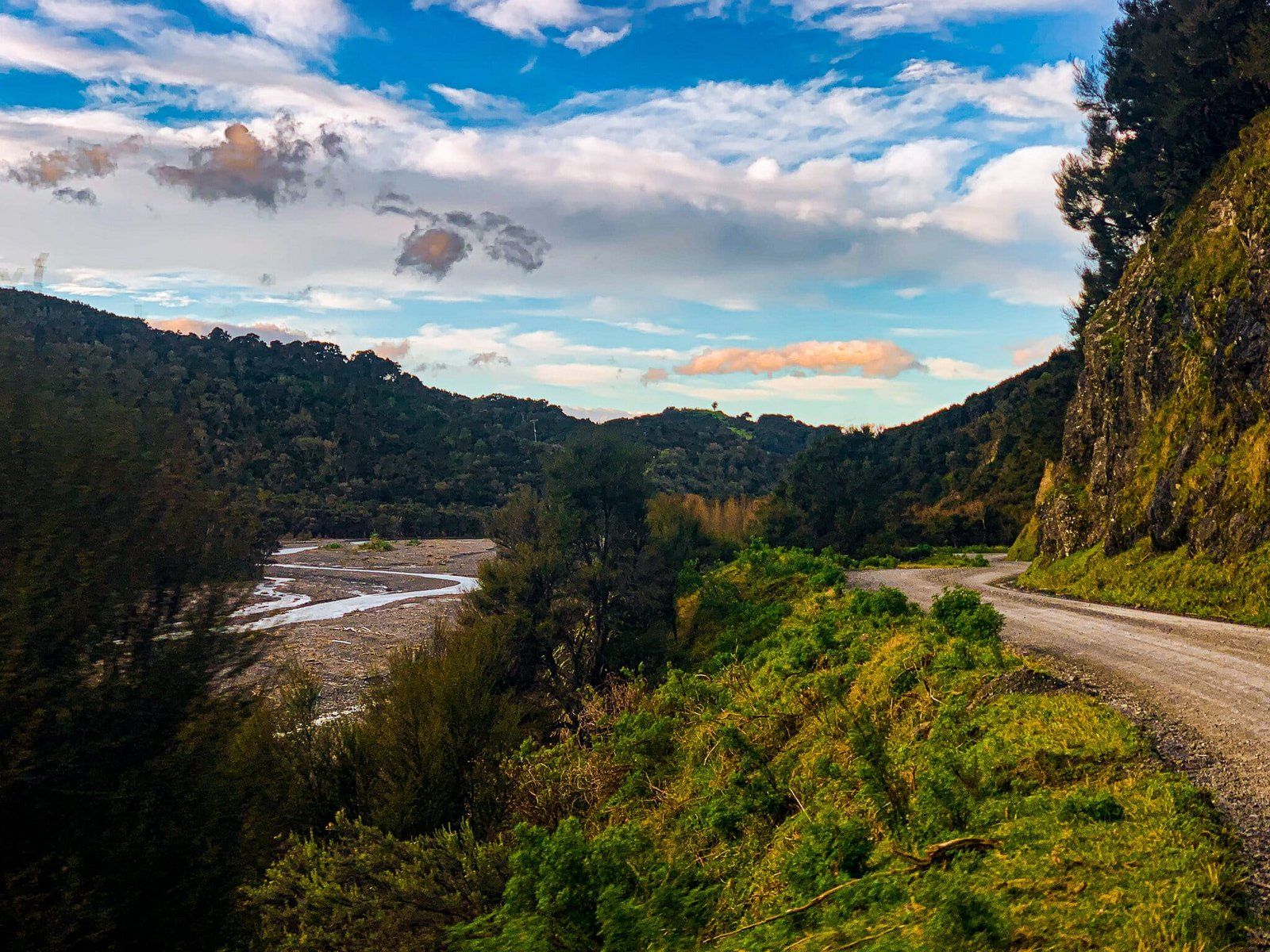
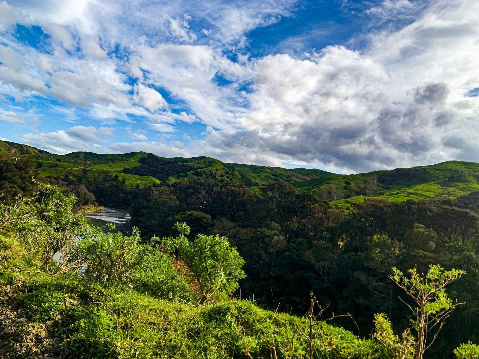
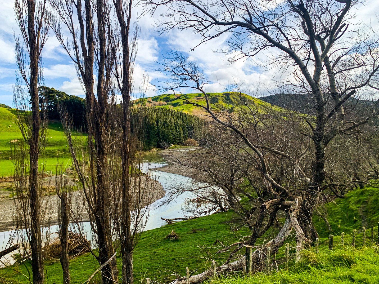
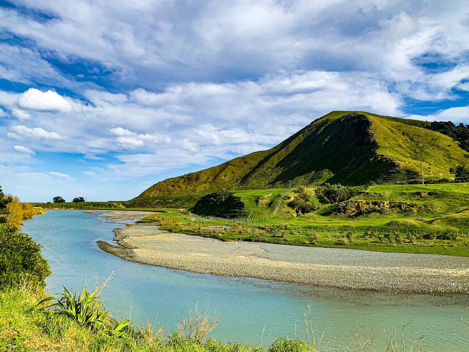
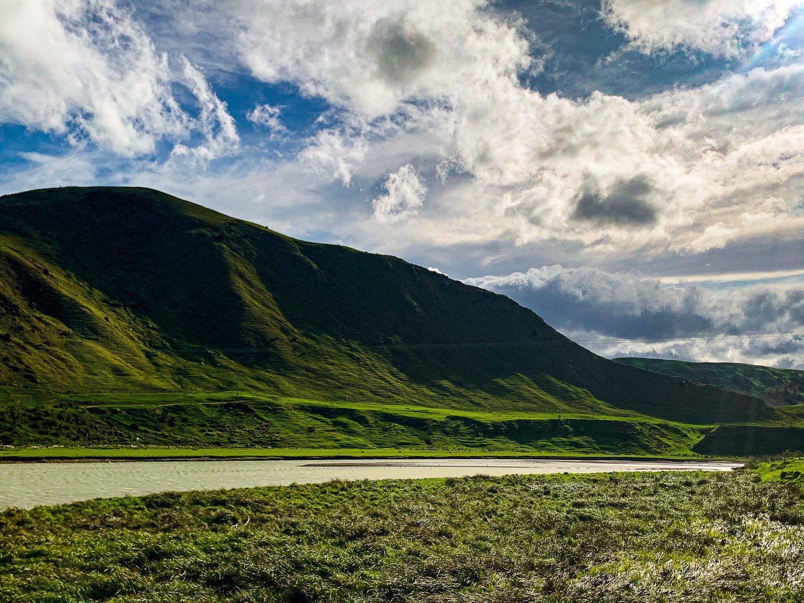
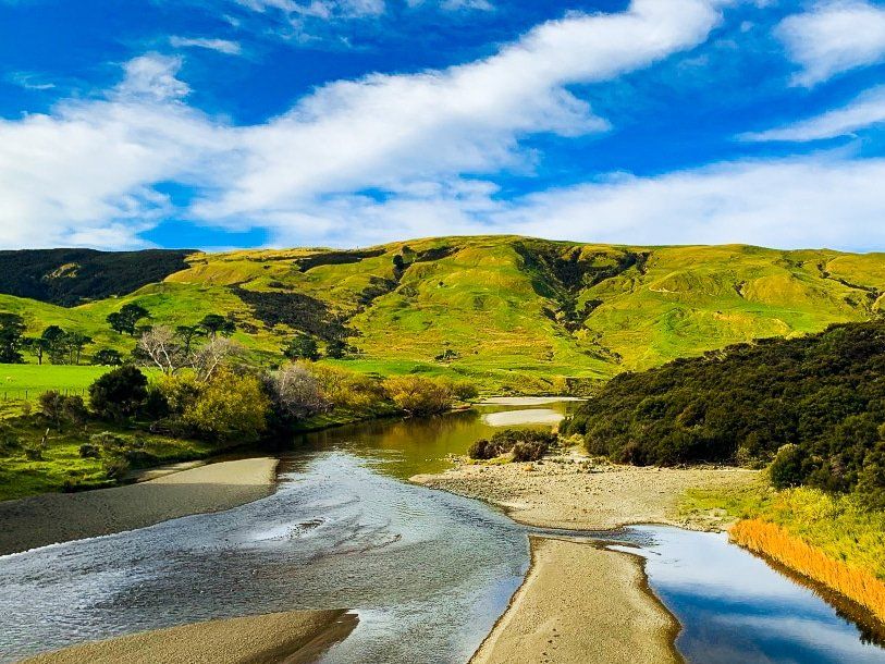
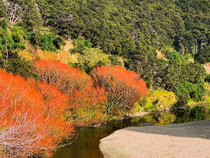
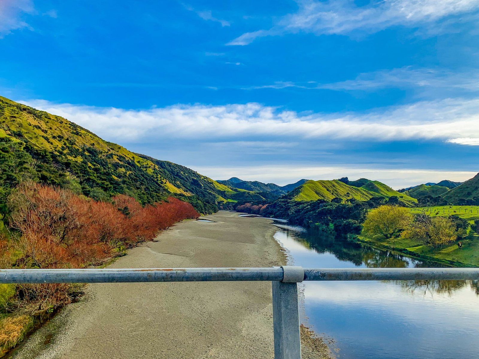
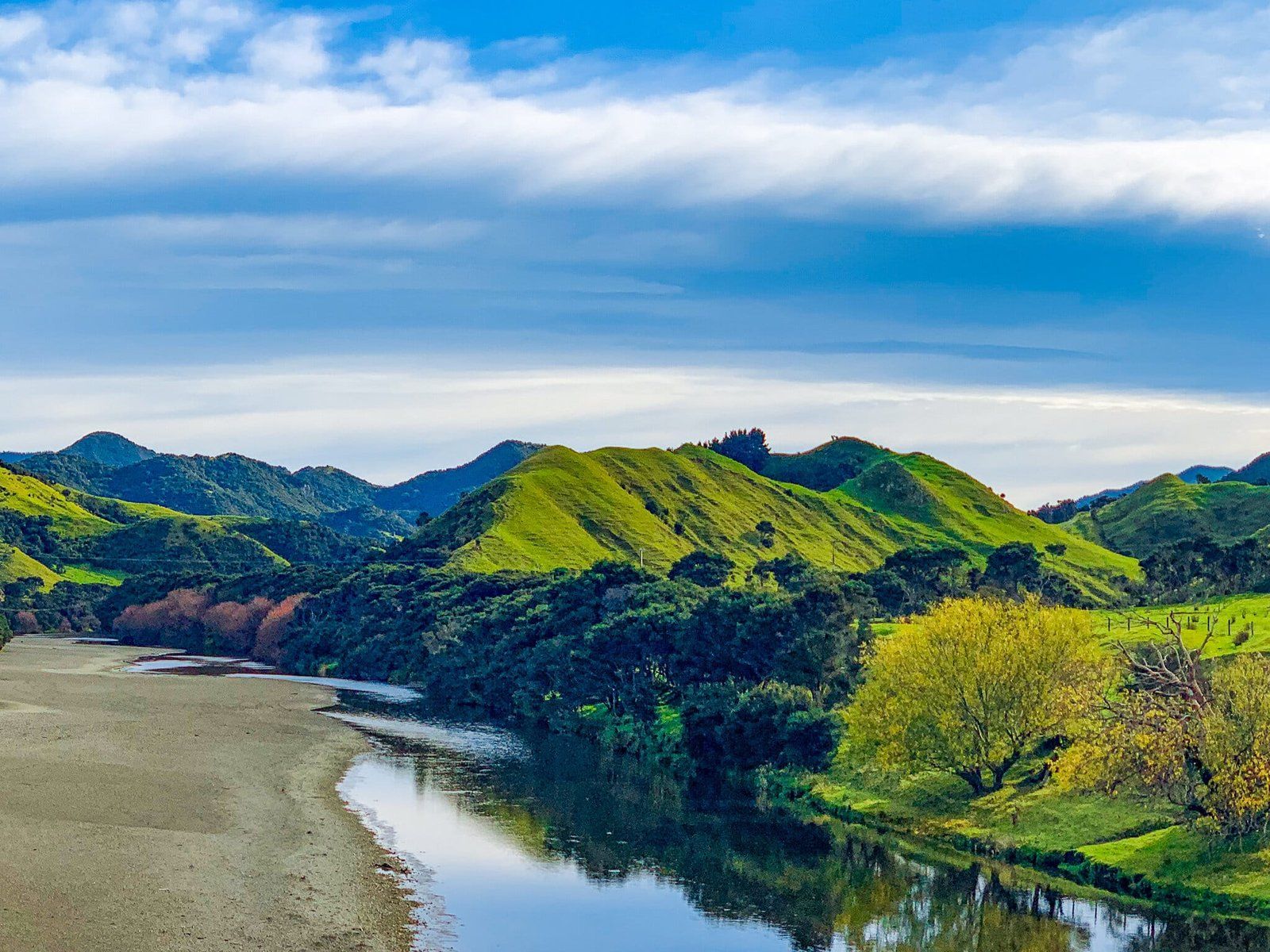
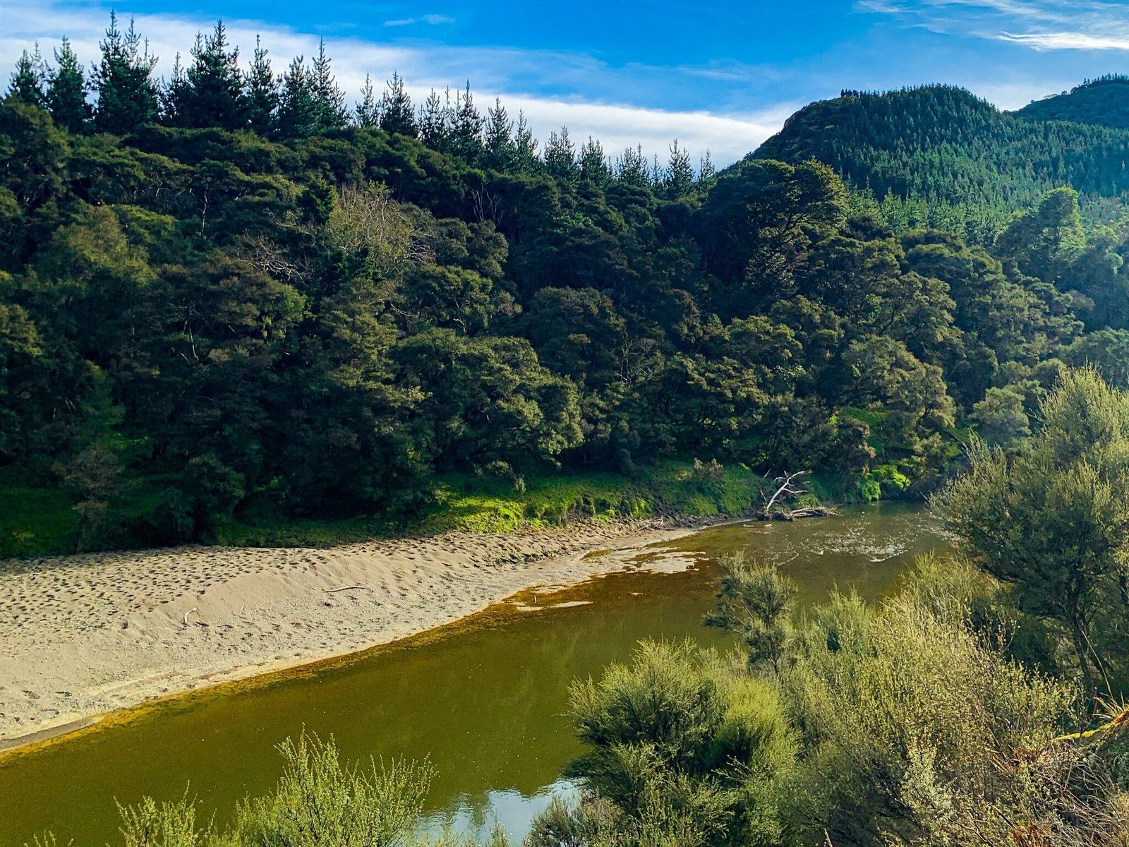
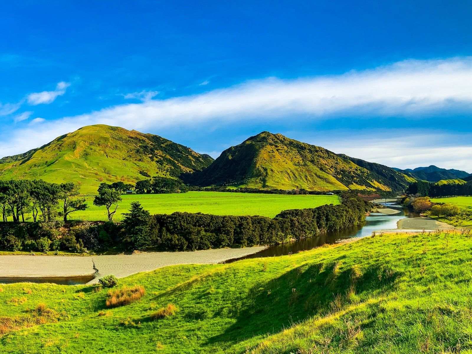
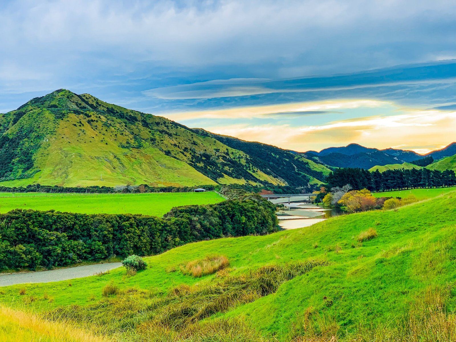
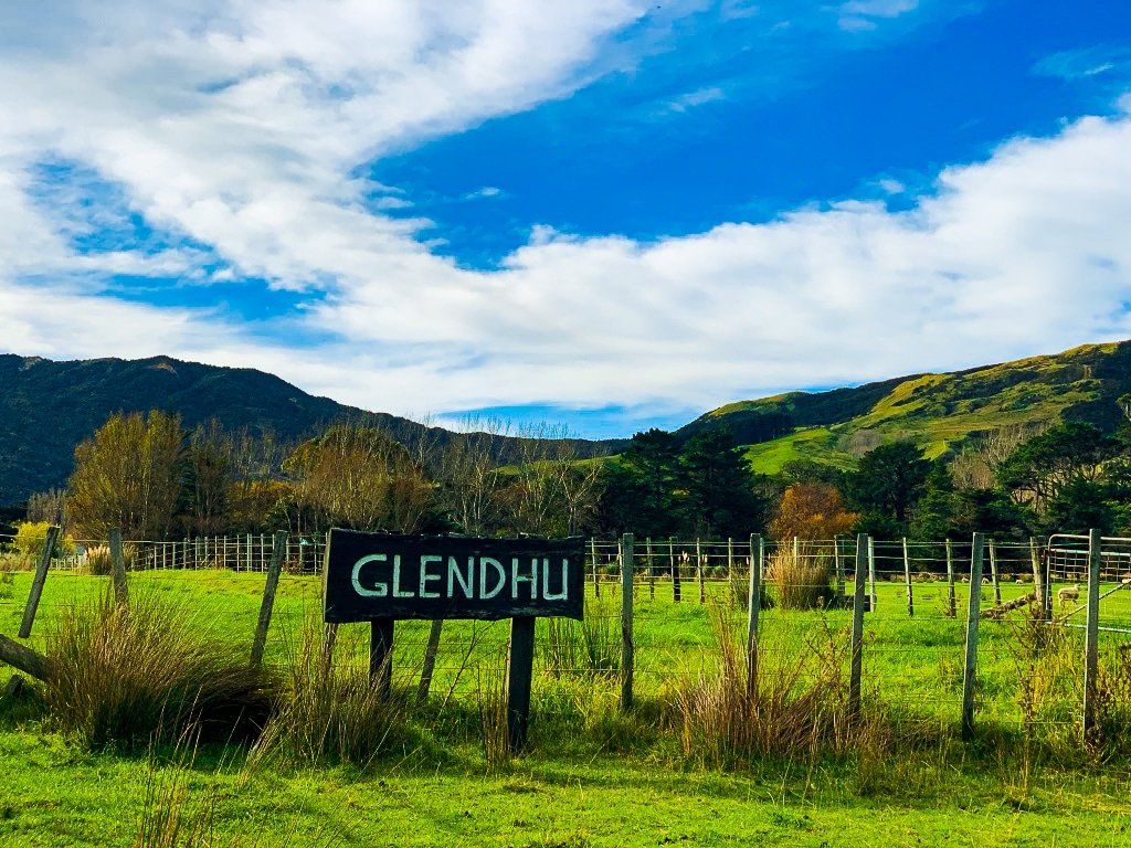
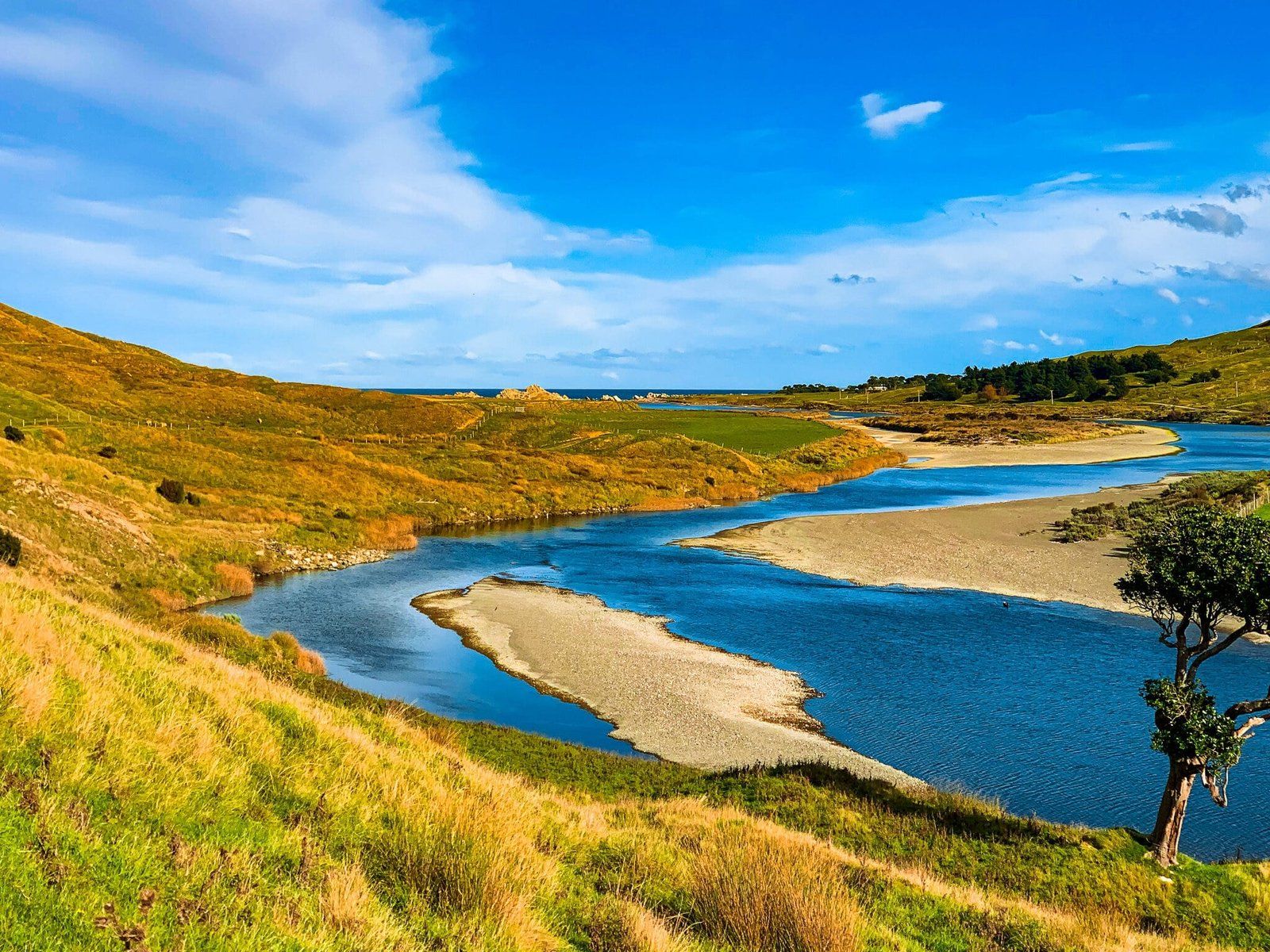
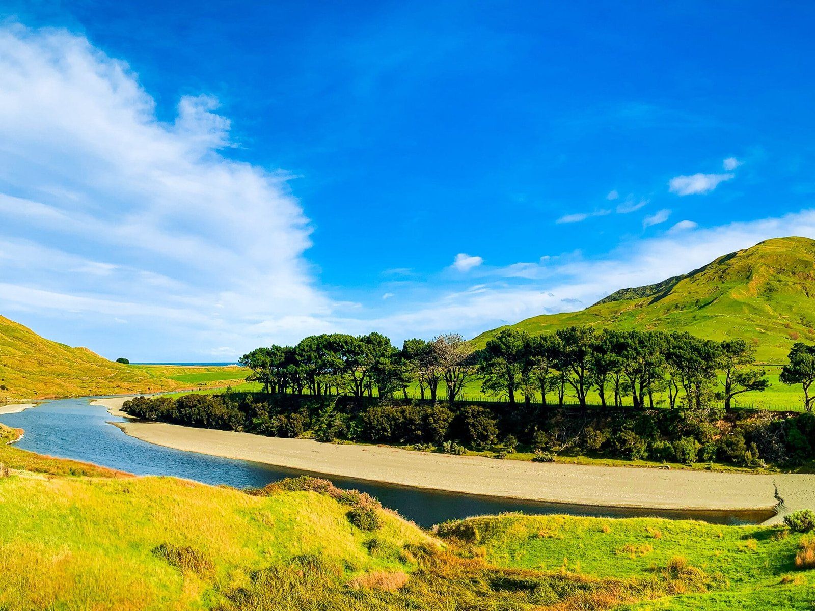
Pahaoa River winds back and forth towards the coast and the road mostly follows it, giving beautiful views along the way. At Glendhu Road, you can either turn left over the bridge to Glendhu Station, or continue on to the coast south of the riverhead. Note that this is the kind of drive best done with a full tank of petrol or fully charged batteries as there are no service stations and no cell phone reception along the way.
Glendhu Station
Turning left onto Glendhu Road from Pahaoa Road will take you across the river and up to the homestead at Glendhu Station. If you intend to drive past this point, a 4WD will be necessary, as the road becomes a muddy track crossing fords and fields, at least when there has been recent and substantial rain.
Glendhu Station is not worth visiting in itself, just another large sheep-grazing area, but it does give access to a little-visited and unnamed beach to the north of the Pahaoa Riverhead. A closed gate crosses the access road (the aforementioned muddy track), and a sign asks visitors to log in and out and details fishing and shellfish quotas. From this point on, I walked, but those with vehicles more suited to the varied terrain may pass through the gate and drive.
Pahaoa Riverhead and Beach
The stretch of coast that you approach via Glendhu Station’s access road turns out to be a stunning and isolated east coast fishing beach. With a steep pitch to the sand, the ocean becomes deep very quickly so it is probably best to avoid swimming for safety reasons, especially if you are there alone.
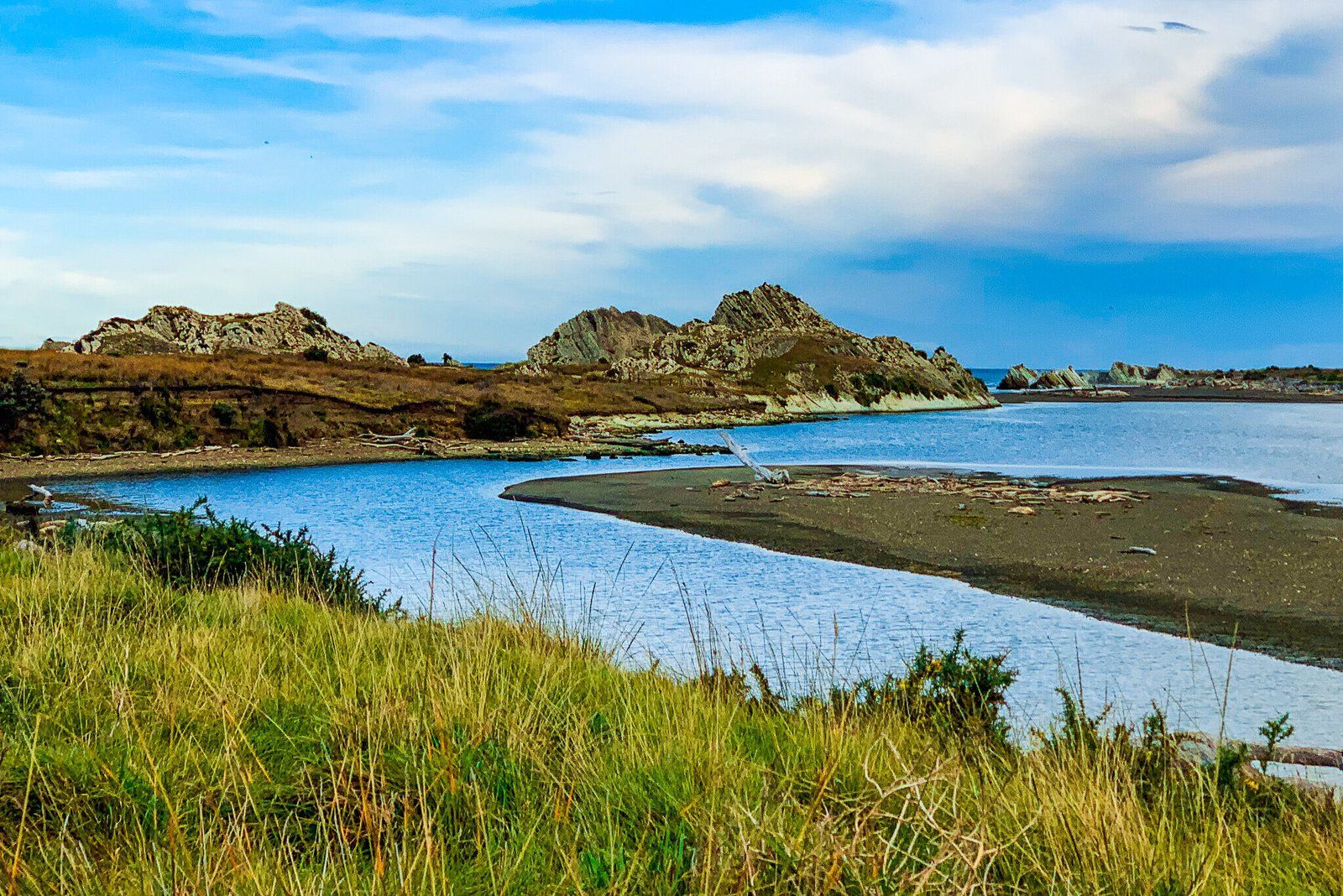
Huge pieces of driftwood have collected all along the shore and it is possible to find pretty stones, smoothed and flattened by the movement of water. But what is truly unique about this coastline are the triangular rock formations sticking up from the surf around the riverhead. The formations, the Glendhu Rocks on the north side and the Kairingaringa Reef on the south side, show layers of sediment and rocks pressed together over untold thousands of years. Some formations closer to shore can be climbed over and explored, though the local sheep population are likely to be suspicious.
Across the riverhead, the end of Pahaoa Road and the stretching coastline are visible to the south. Geese, ducks, and other waterfowl populate the wide river and if you visit on foot, it is possible to follow the river, rather than the ‘road’, much of the way back to the Station homestead.
Want more Trip Ideas?
Check out our blogs Wairarapa Part 1, Kāpiti Coast Part 2, and the Wellington Ranges.
