
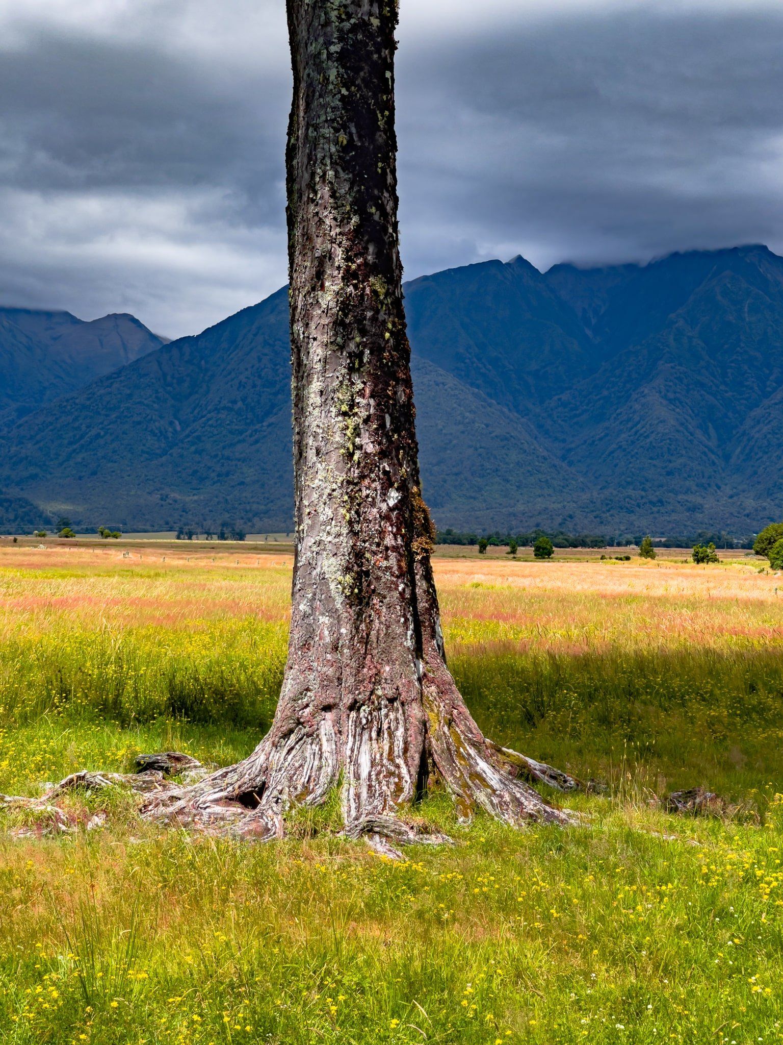
Glacier Country is part of Westland and Te Wāhipounamu World Heritage Area. It sits around Franz Josef Glacier / Ka Roimata o Hine Hukatere and Fox Glacier / Te Moeka o Tuawe. It is roughly bounded by Whataroa to the north and Gillespies Beach, Lake Matheson, and Fox Glacier to the south.
Franz Josef and Fox are the longest of a series of glaciers that run northwest from the high peaks around Aoraki Mt Cook and Mount Tasman. They have long been tourist attractions and the gateway towns of Franz Josef Waiau and Fox Glacier largely exist to support travellers. Despite significant retreats over the last few decades, they continue to be relatively easy to access from State Highway 6. The drive to Franz Josef Waiau is about two hours from Hokitika and it takes 90 minutes to drive north from Haast to Fox Glacier. The road between the two towns is also one of the most spectacular drives in NZ as it crosses two saddles on the fringe of the Southern Alps.
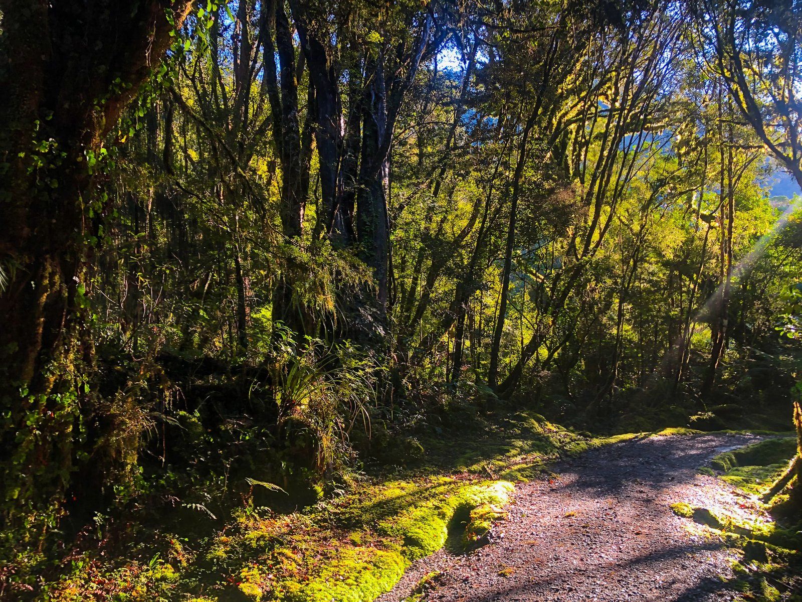
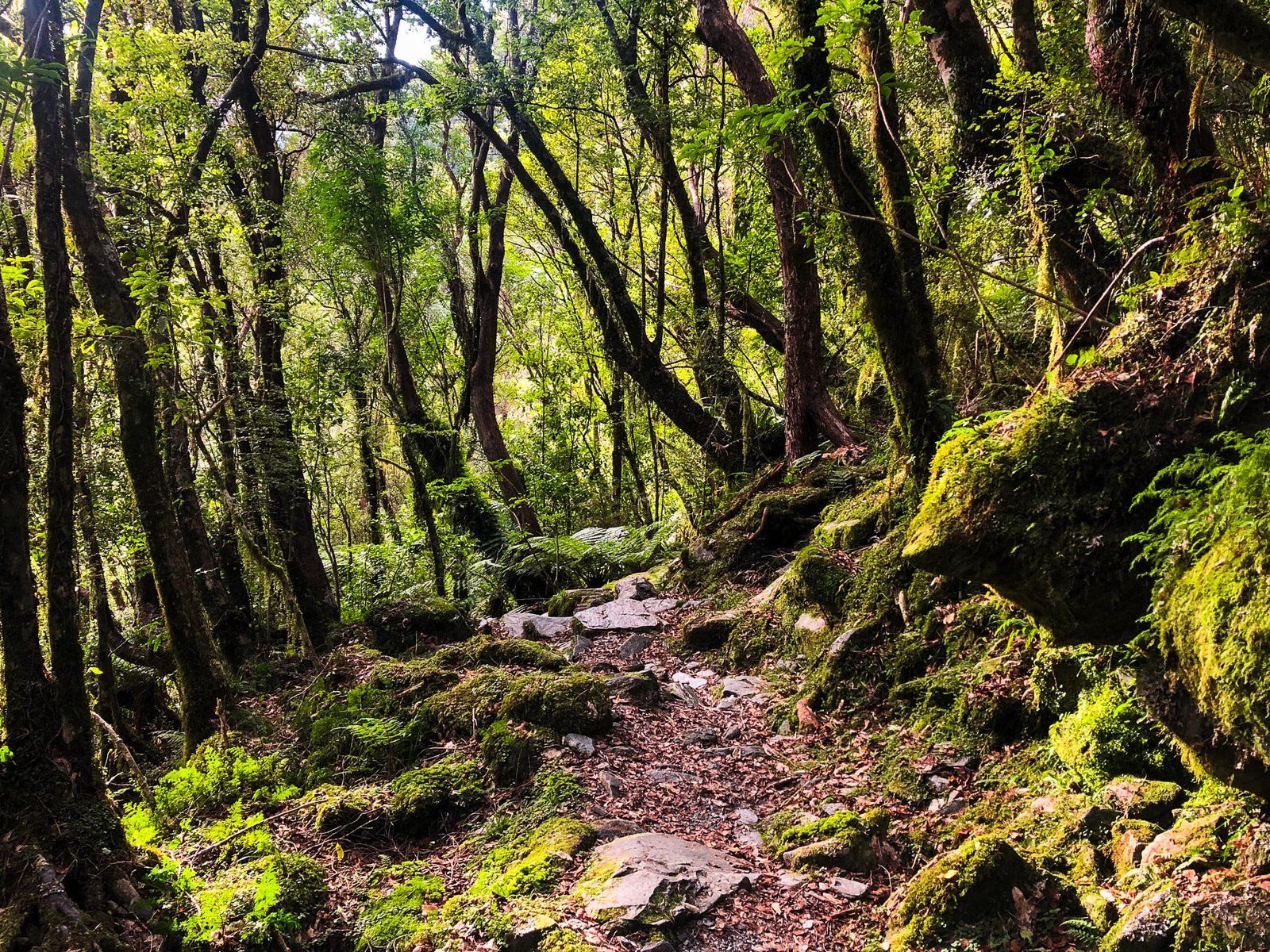
To access the Glaciers, there are several walking tracks to viewpoints as well as various commercial tours onto the ice. The walking options include trails that follow the paths of retreat, Fox being a bit more accessible. There are also several shorter walks onto the glacial moraine and nearby lakes and rainforests. At Franz Josef there are two excellent hiking/tramping options; Roberts Point Track and Alex Knob Track. Both climb to high viewpoints on either side of the glacial valley.
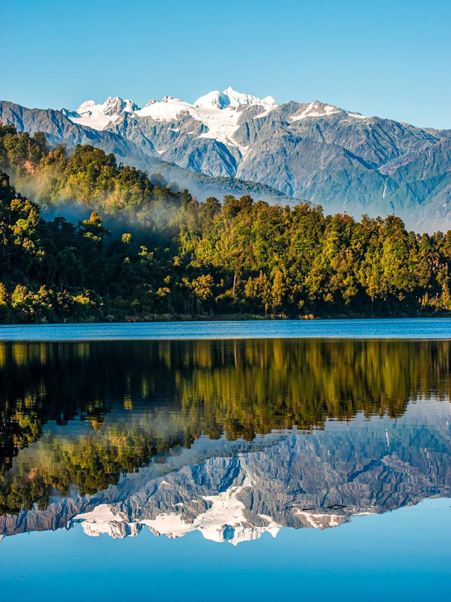
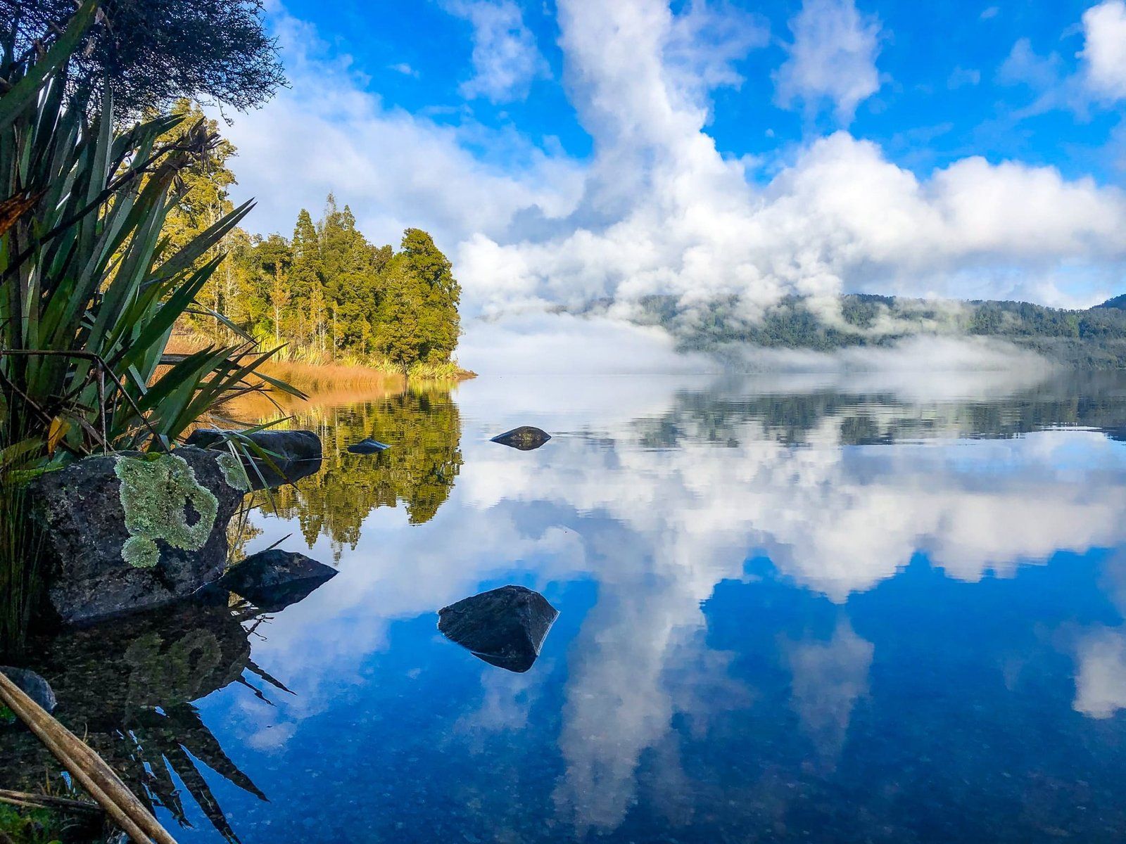
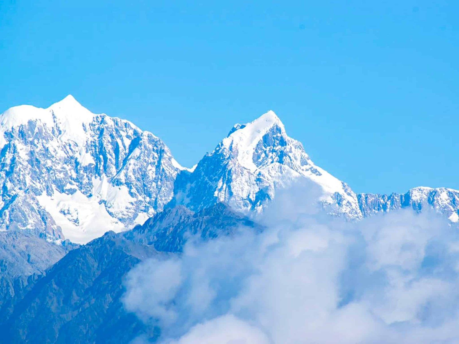
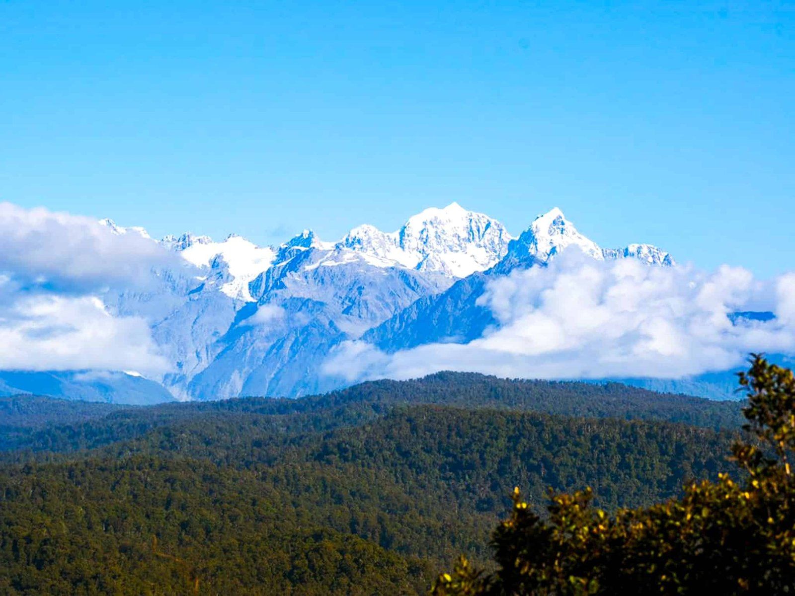
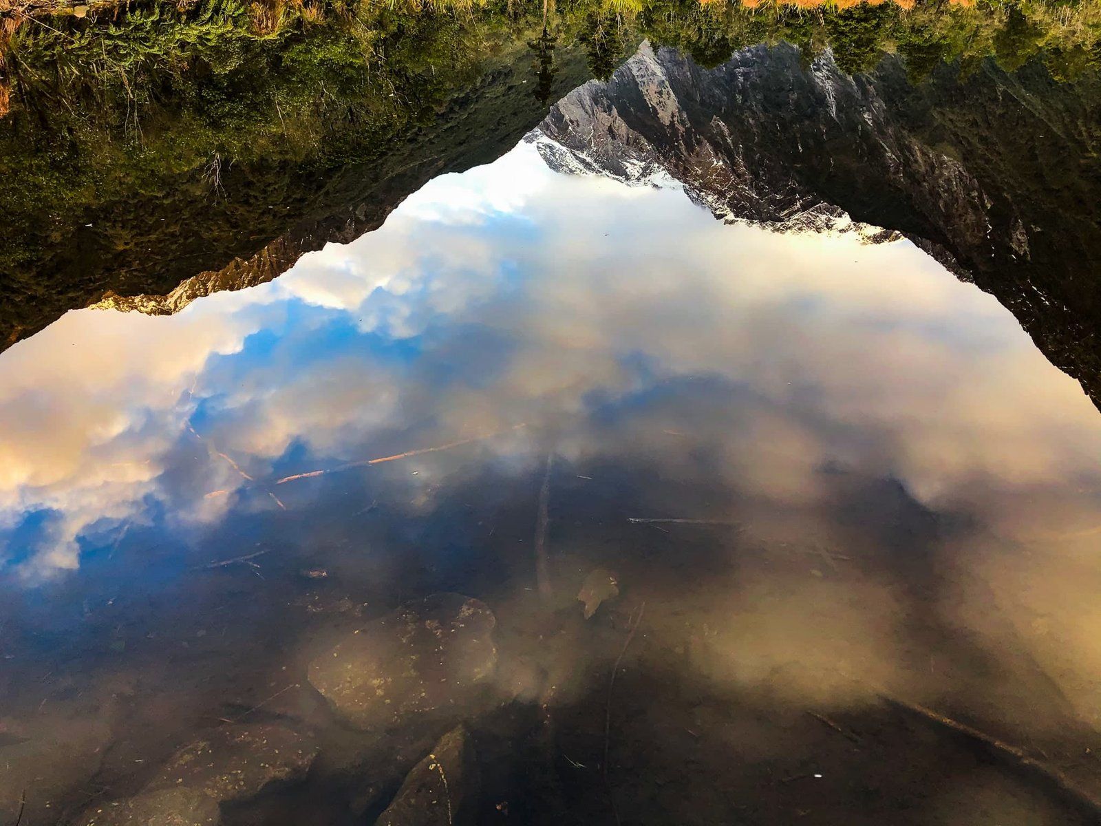
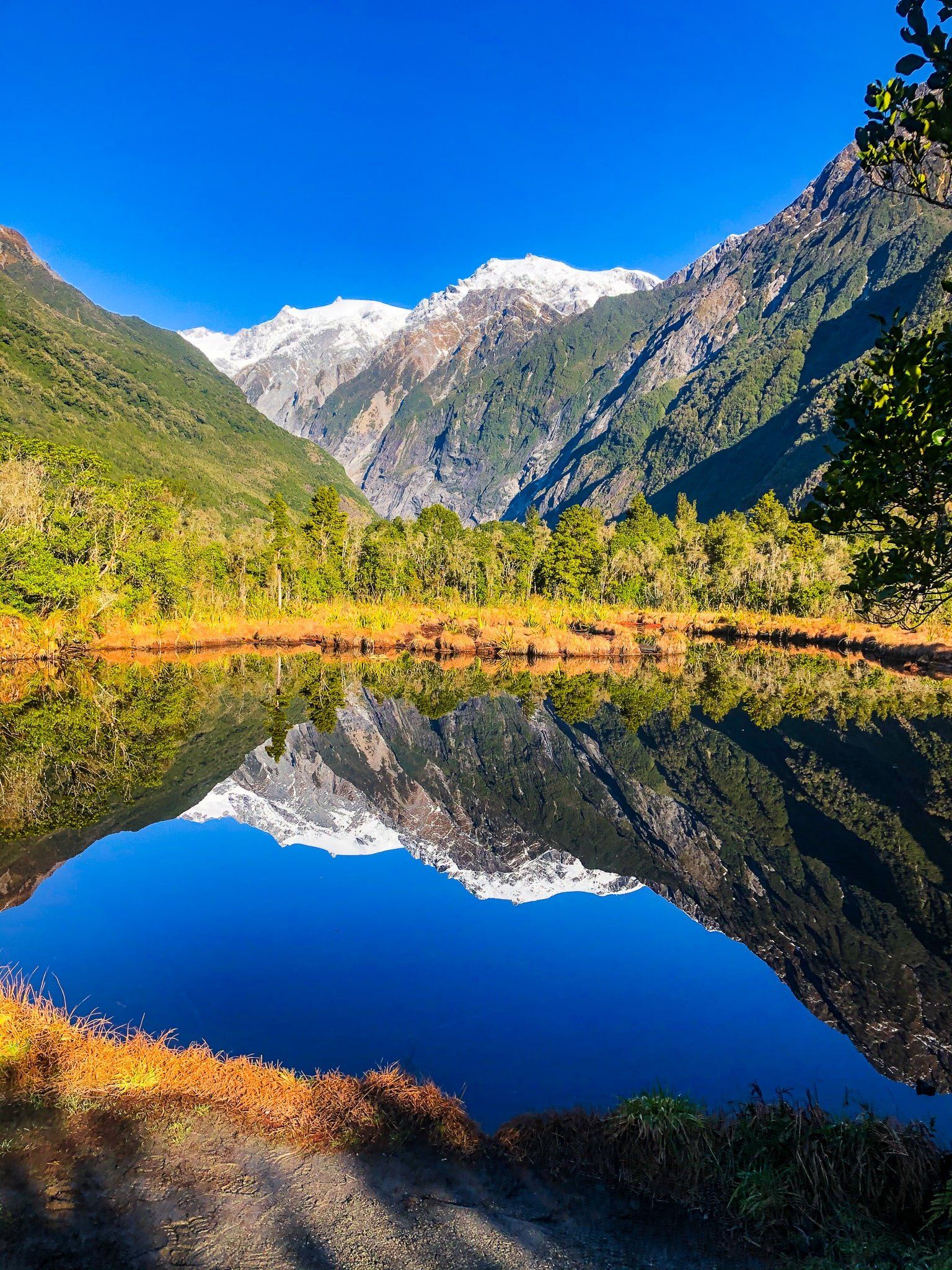
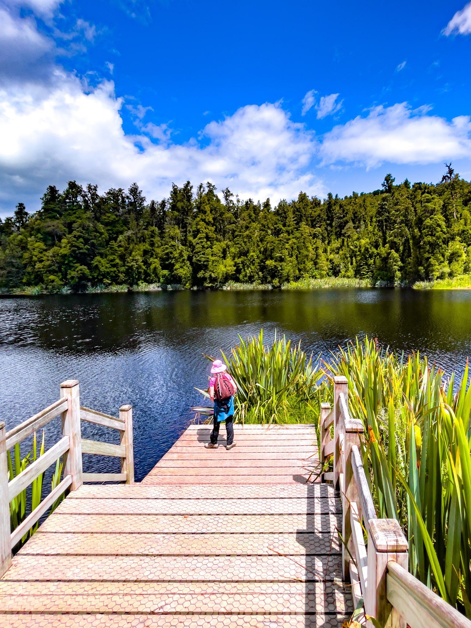
But it’s not just glaciers in Glacier Country. Lake Mapourika is to the north of Franz Josef and a perfect location for camping and water activities. From there, head to the coast at Ōkārito with its huge lagoon. Hike through the wetland for views from the top of the Ōkārito Trig Walk. A bit further south, a side trip takes you to Lake Matheson. Choose a calm day for a walk around the lake with its perfect mirror reflections of the Southern Alps / Kā Tiritiri o te Moana, highlighted by Aoraki Mount Cook and Mount Tasman Rarakiroa.
Thanks to Georgia (@the_cornishpixie) and Jan Rozen for the photos.
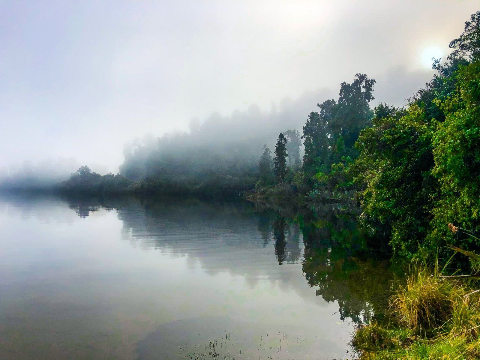
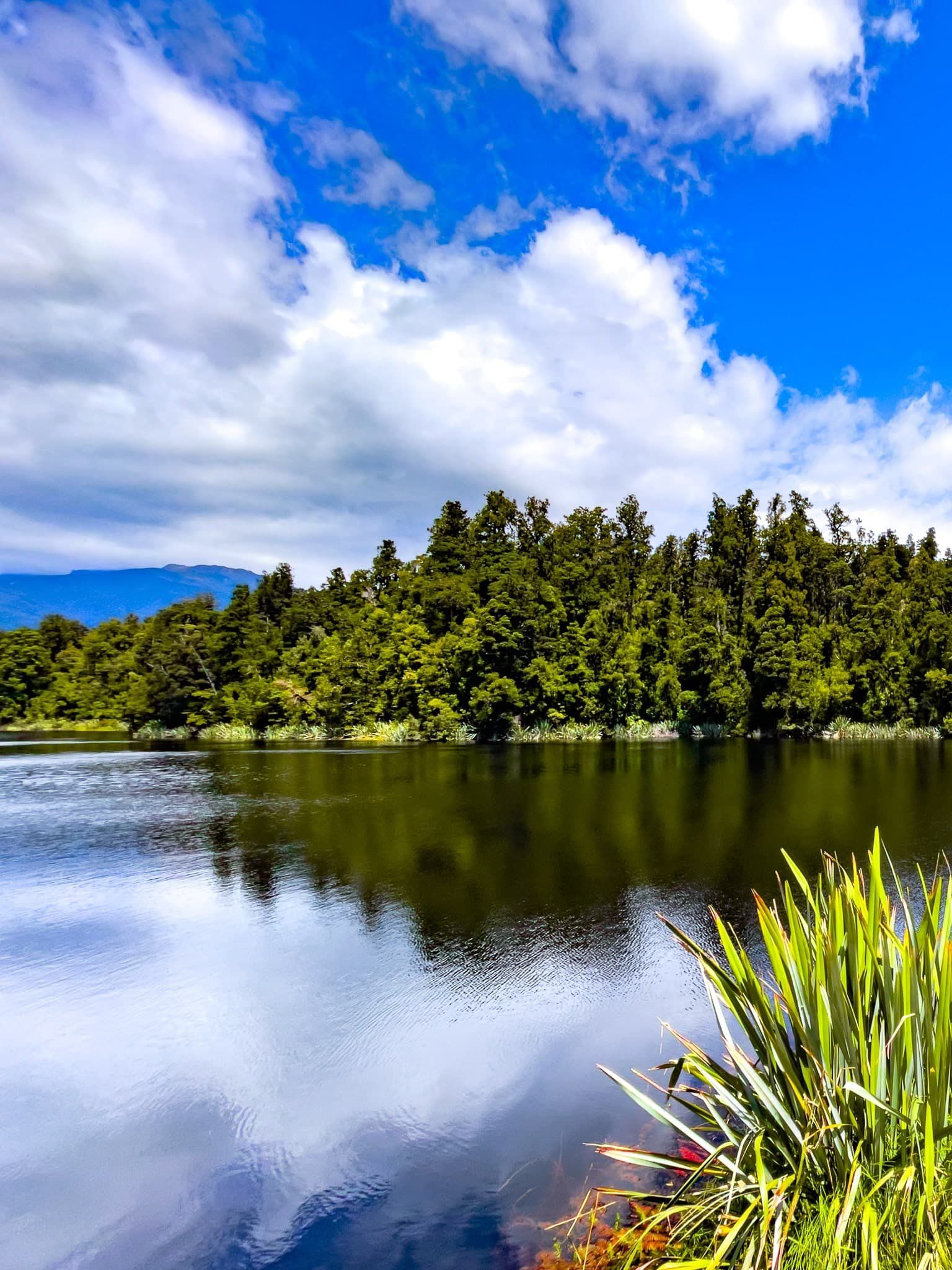
Lake Mapourika
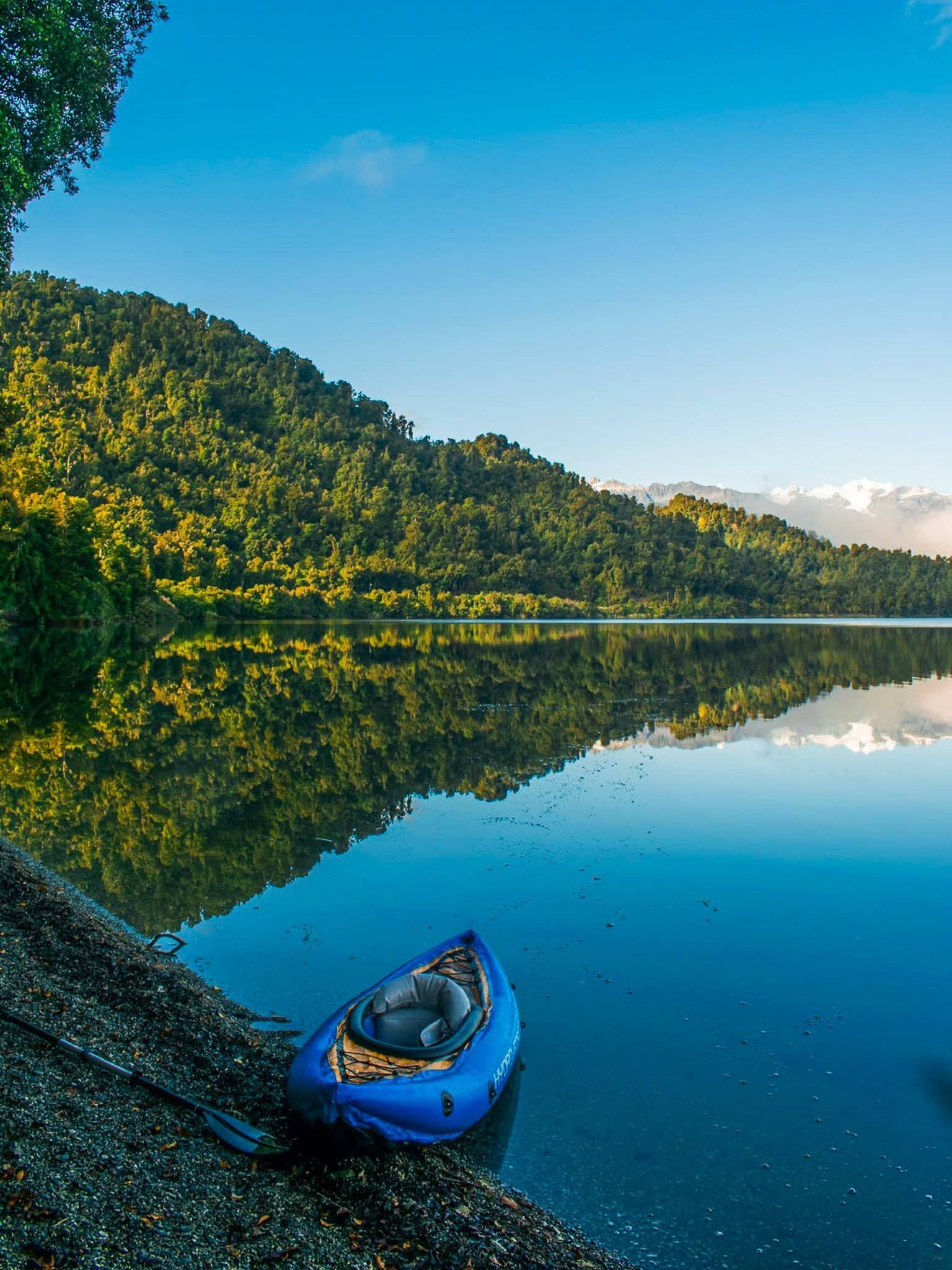
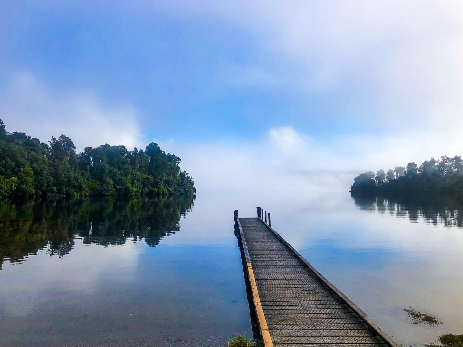
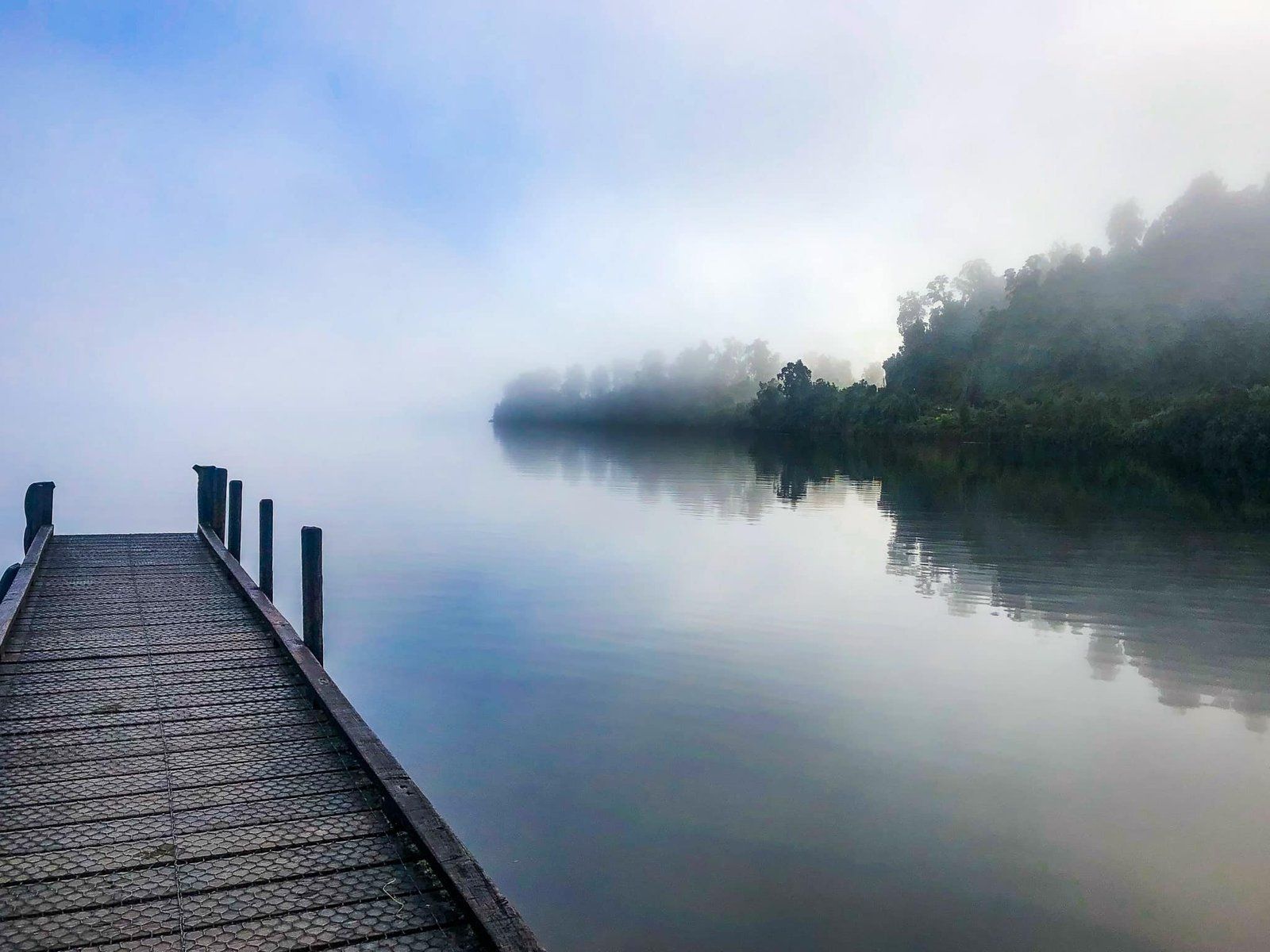
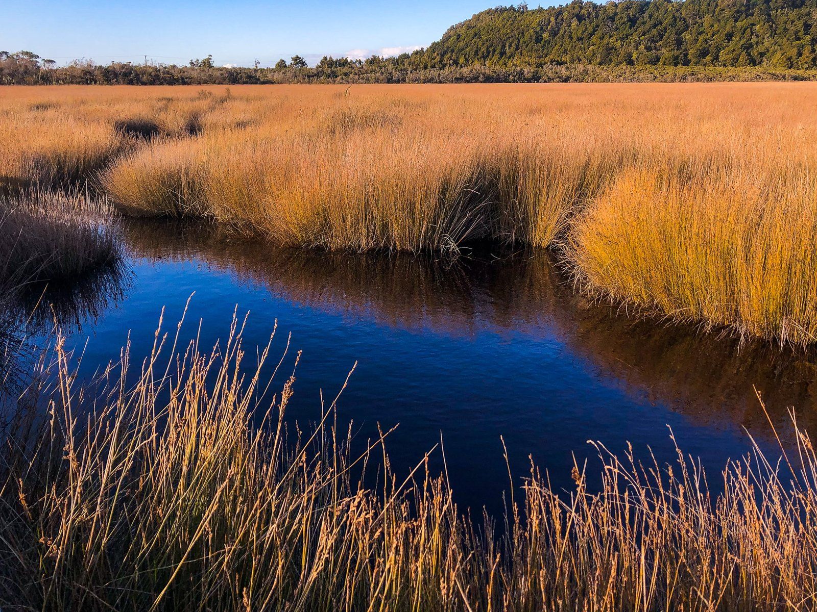
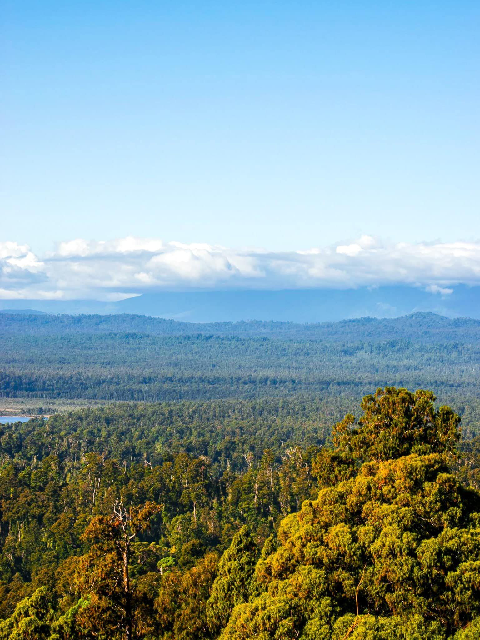
Lake Mapourika is in Westland in the South Island. It is ten km north of Franz Josef Glacier and only takes ten minutes by car. It is the largest of the several Westland post-Ice Age glacial lakes which are immediately accessible from State Highway 6. Lake Moeraki and Lake Paringa are to the south and Waihapo and Ianthe are to the north.
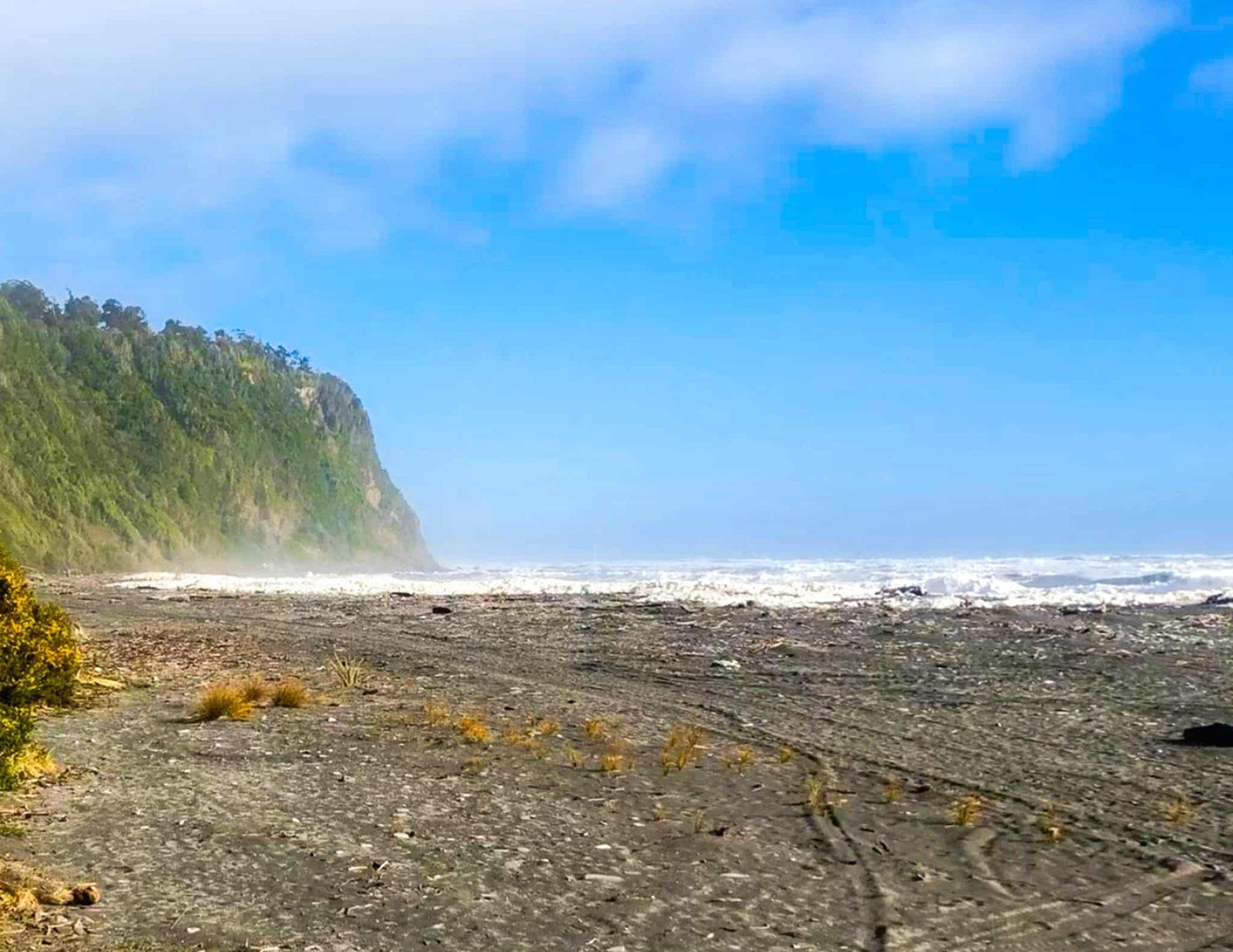
There is no major river inflow, with the lake fed by numerous streams and runoff from the surrounding forested hills. The lake is especially dark due to the tannins that are washed into the lake from the forest. The main outflow is the Ōkārito River which runs to the Ōkārito Lagoon, a large lagoon on the edge of the coast north of the hamlet of Ōkārito. It is also quite sheltered and often generates superb reflections.
There is a campsite on the northeast side of the lake and it is a great spot for kayaking.
Thanks to Georgia (@the_cornishpixie) and Jan Rozen for the photos.
Ōkārito and Wetlands
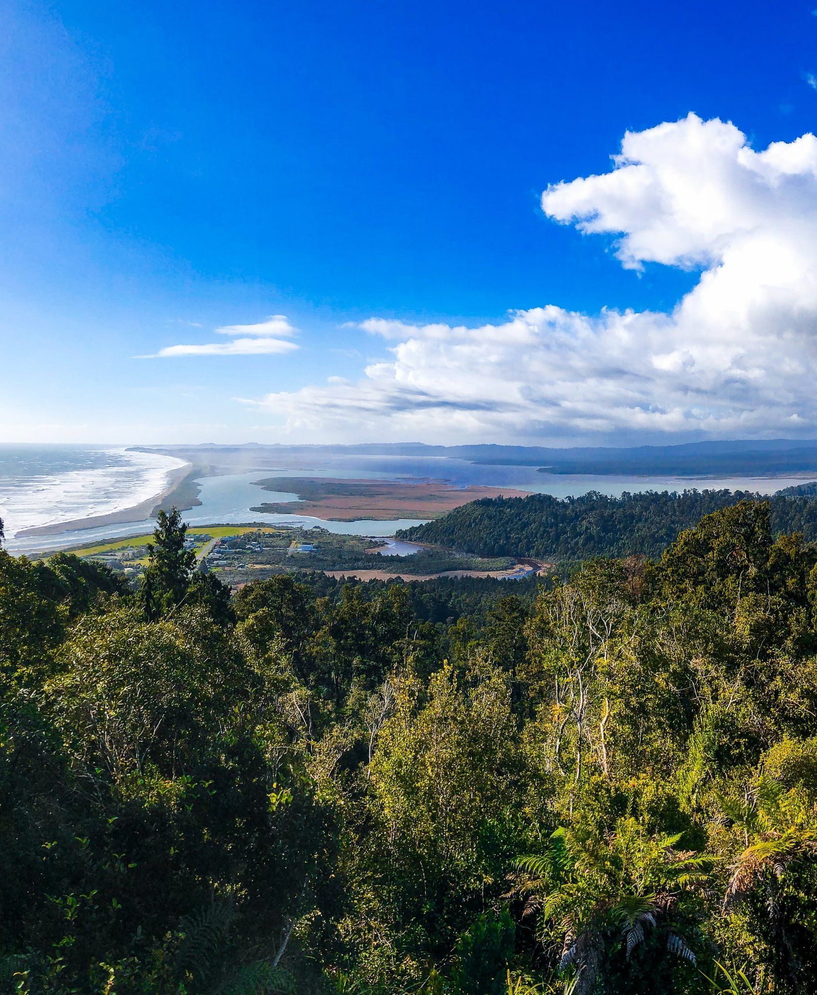
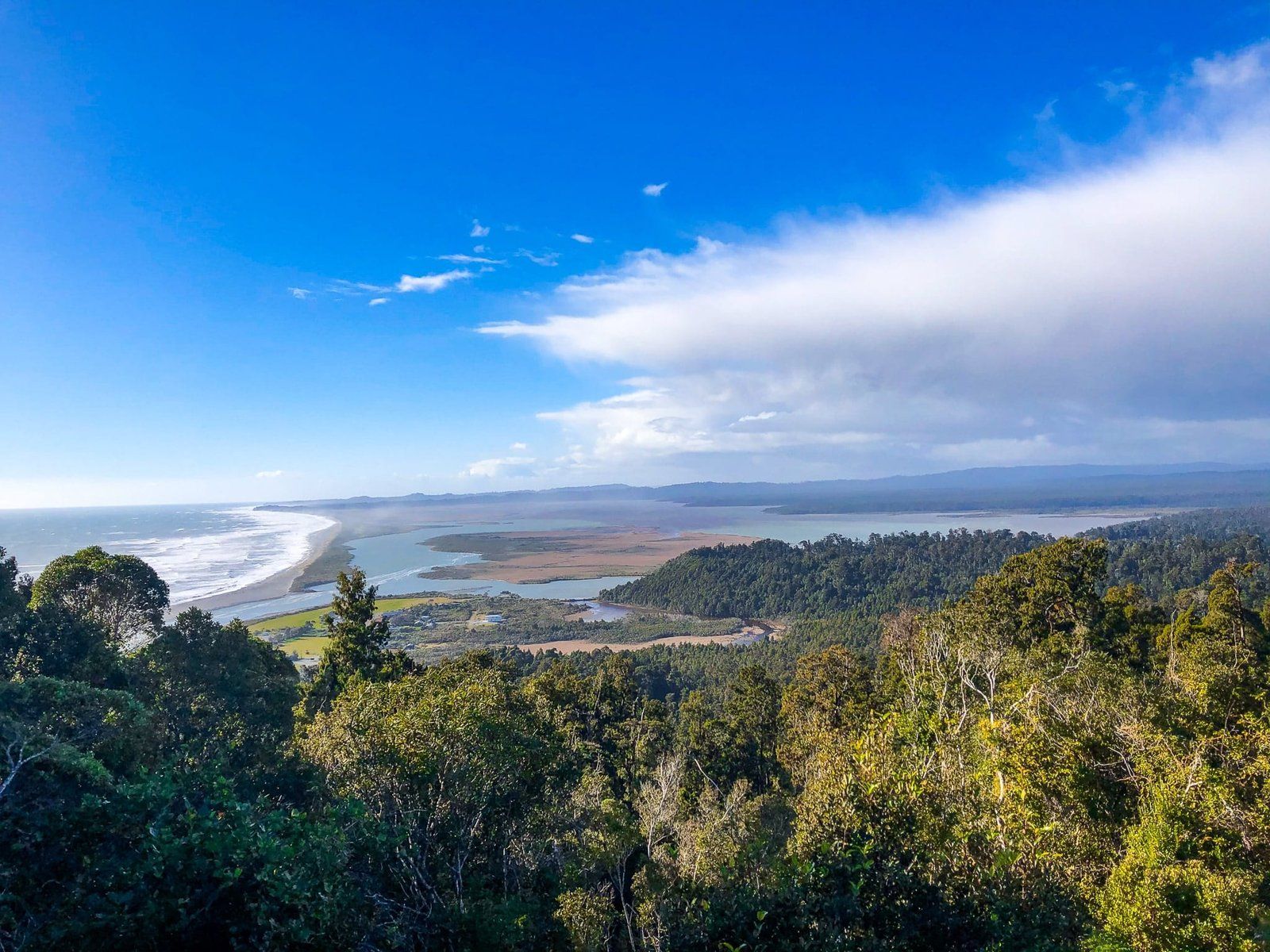
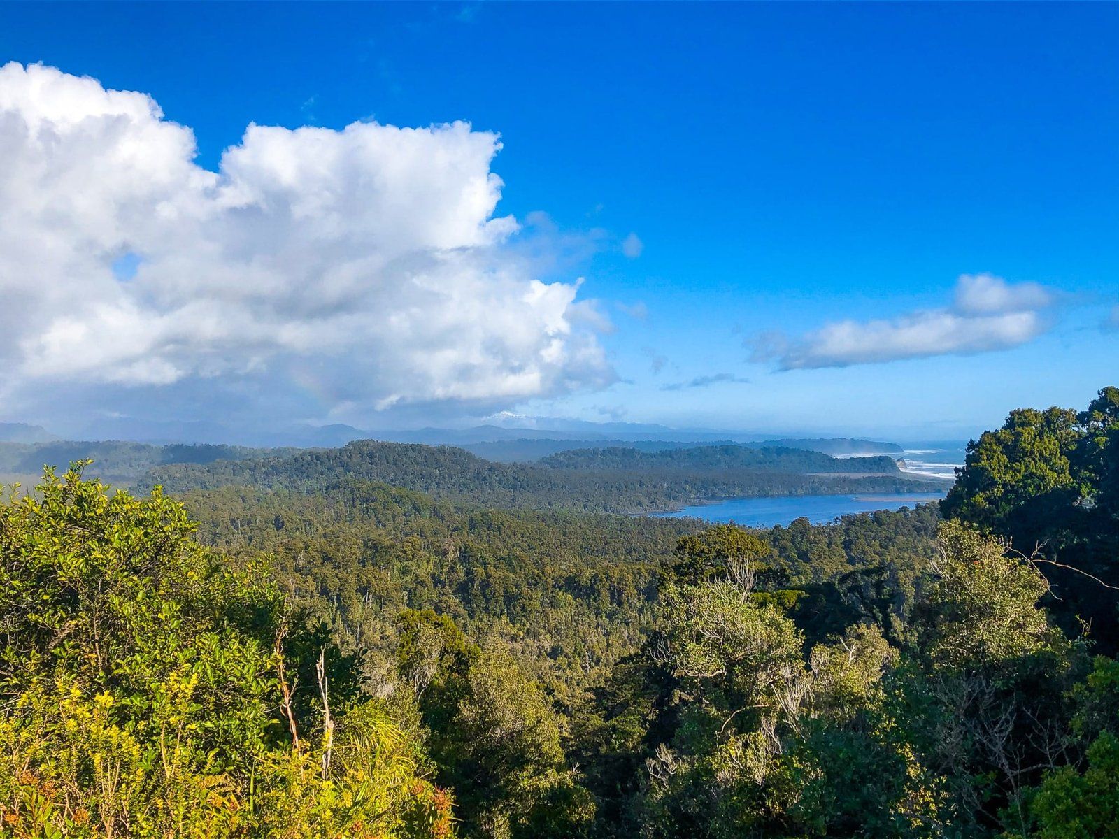
Ōkārito is a small coastal settlement in Glacier Country of Westland on NZ’s South Island. It is ten km along Forks Ōkārito Road from State Highway 6 and sits at the Ōkārito River mouth and the south end of the Ōkārito Lagoon and adjacent wetlands.
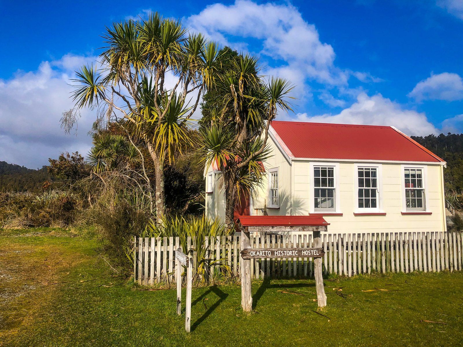
Māori occupied the area up to 600 years ago for seasonal harvesting. In 1860 all of Westland was purchased from local Māori and in 1865 the town was established. Gold was discovered in the black sand of the beach and the rush was on. The area’s population peaked at around 4,000 with 25 hotels, three theatres, two banks, several general stores and a port! But by 1867, it was mostly over and today there are about 30 people living there full-time. Donovan Store is thought to be the oldest building on the West Coast and survives as a restored active facility. There is also the Ōkārito Memorial Obelisk, which commemorates the purchase of Westland and the dates that Abel Tasman and James Cook sailed by in 1642 and 1770.
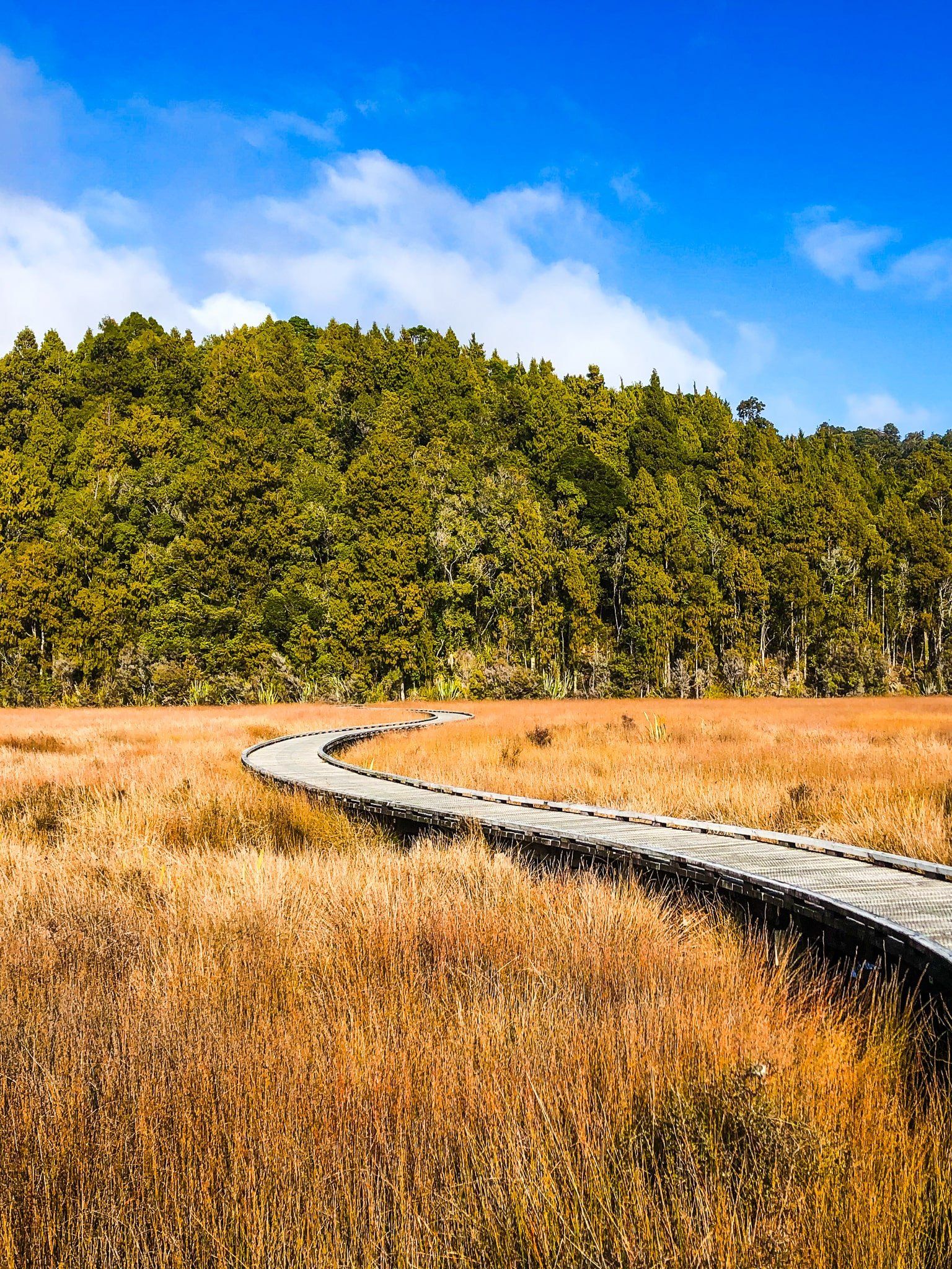
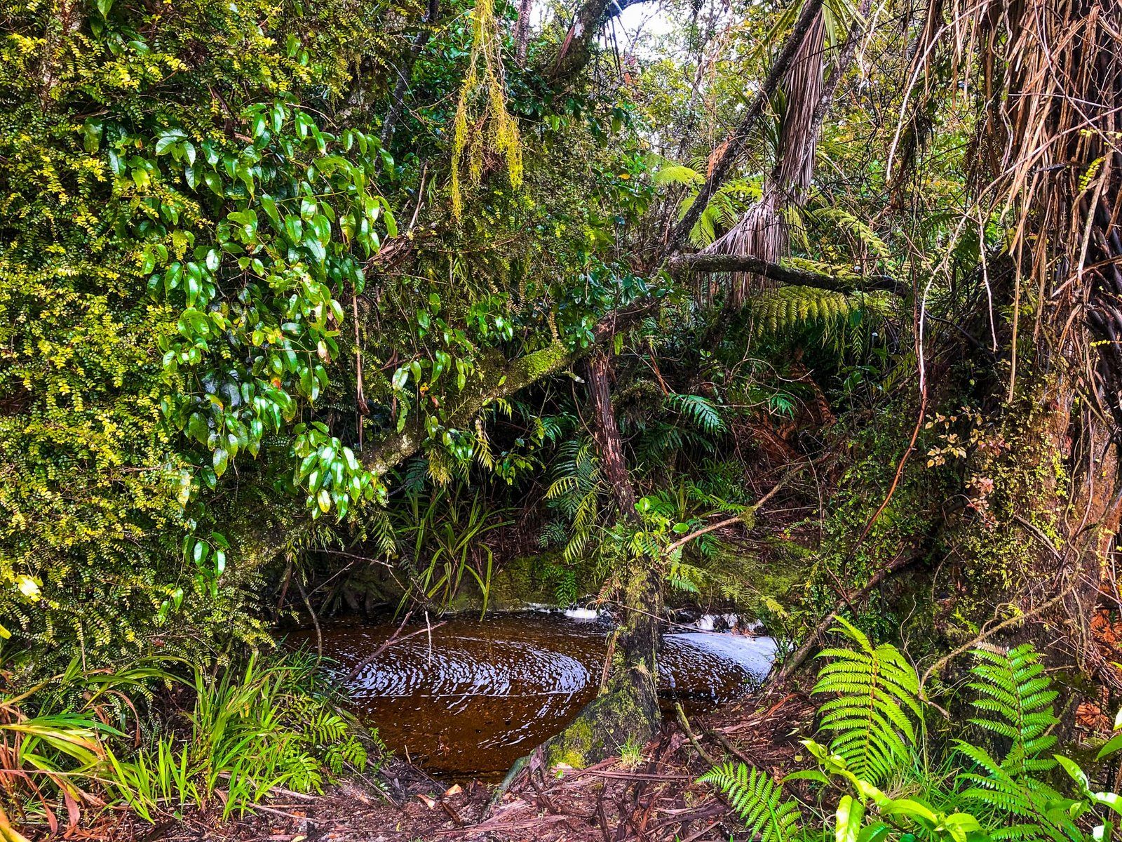
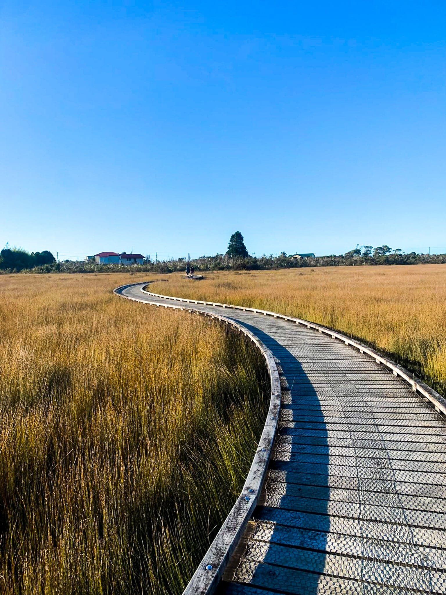
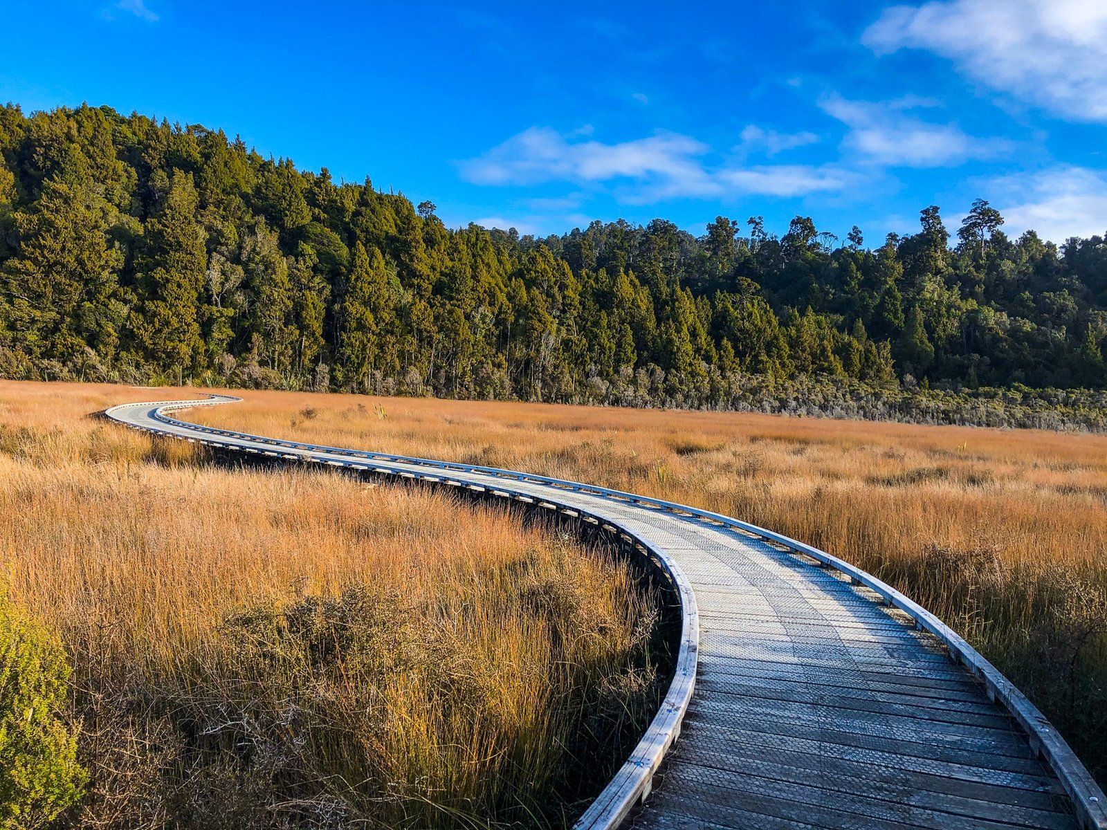
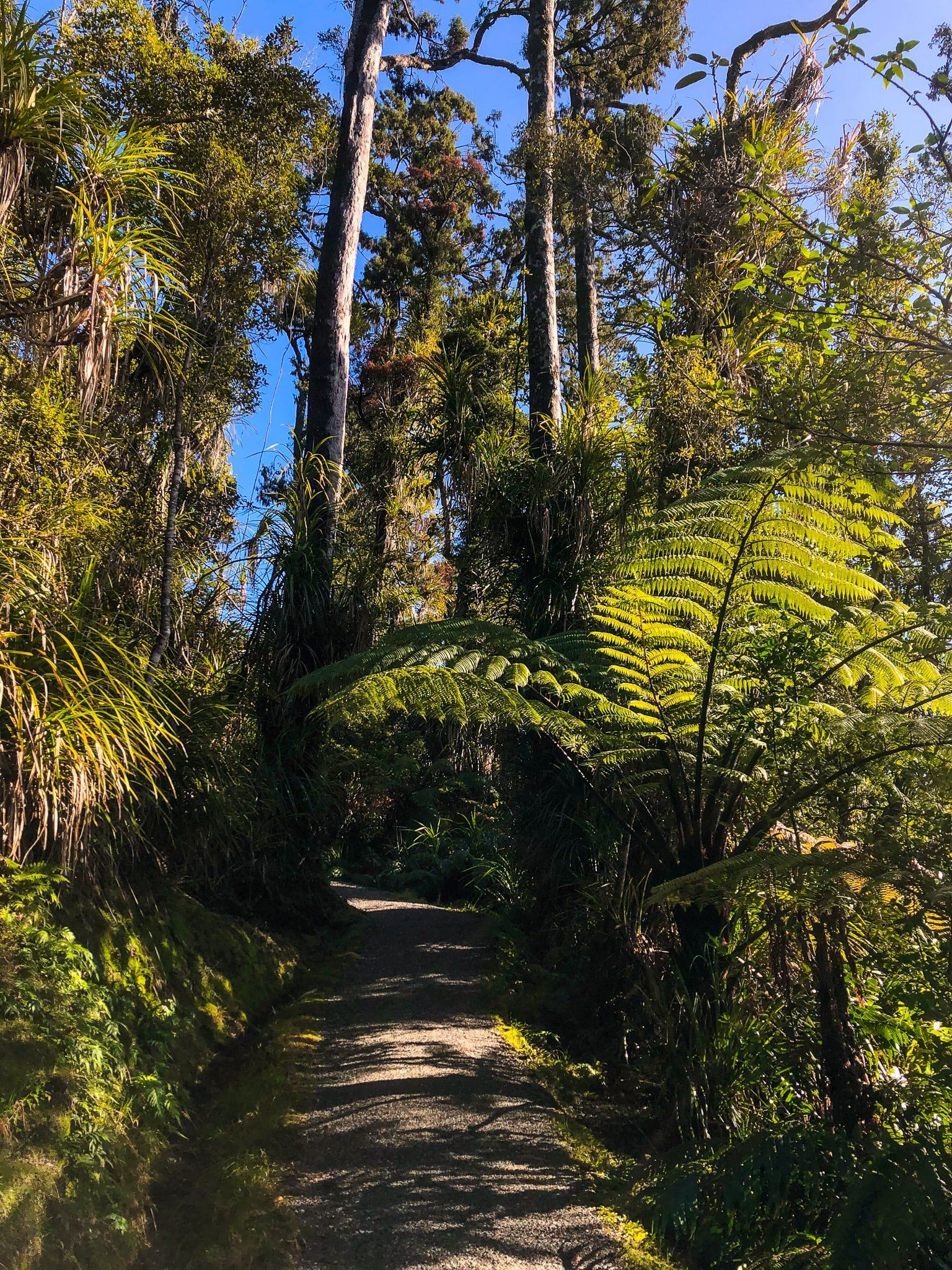
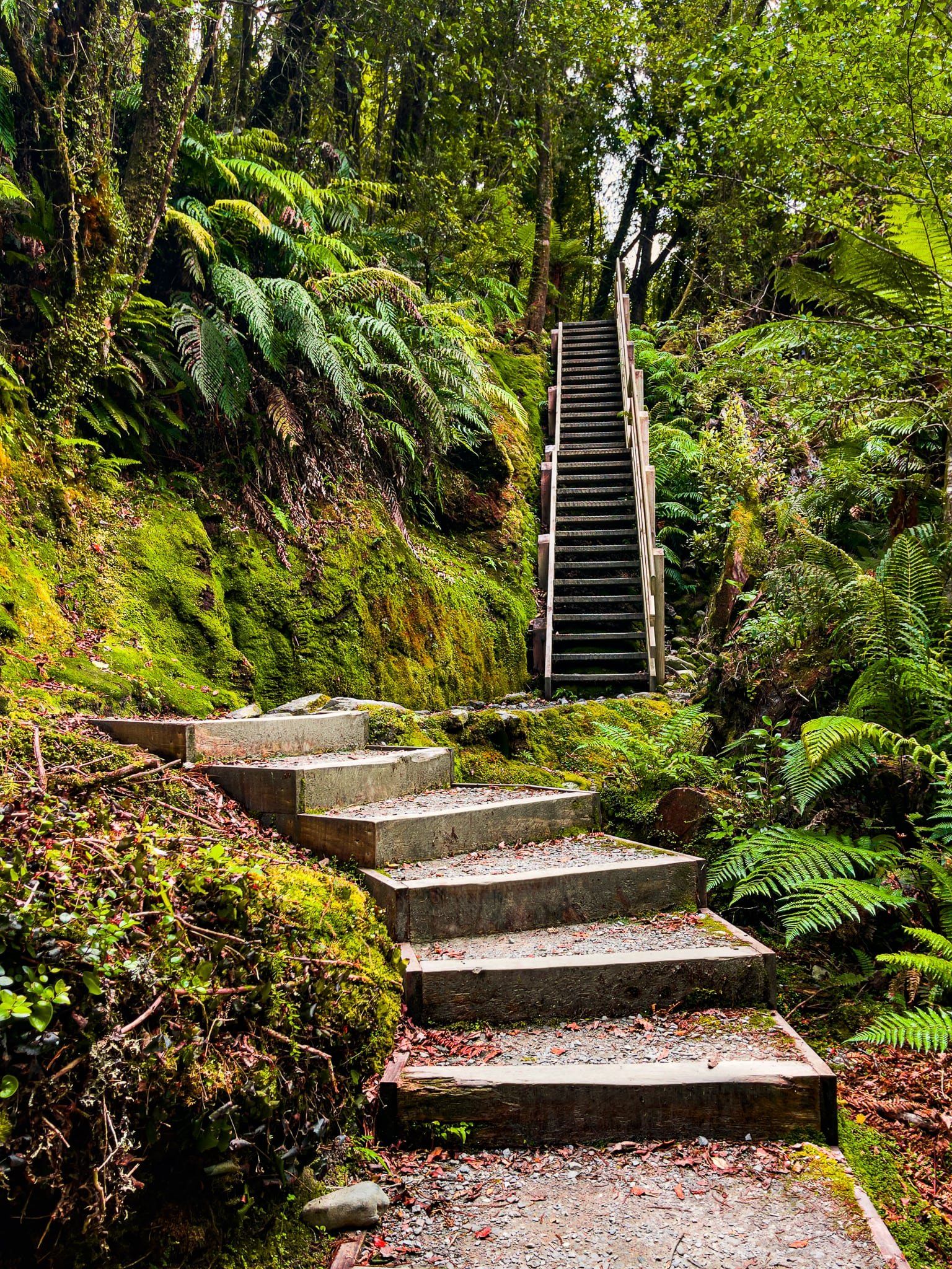
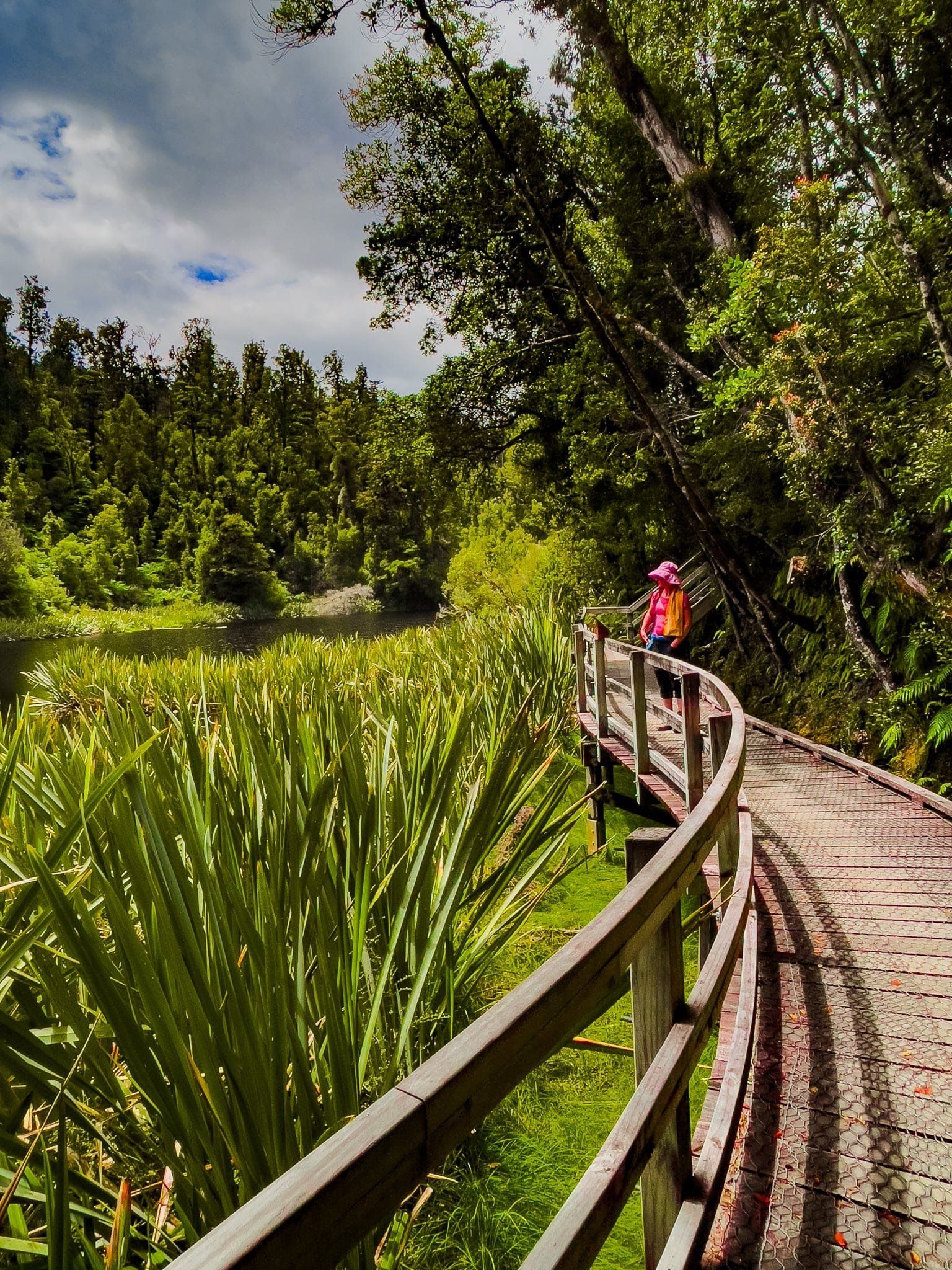
The gold rush did leave some excellent tracks. These include the short and easy Ōkārito Wetland Walk. This can be done as a loop with boardwalks over the wetland southeast of town. The track also connects to the Three Mile Pack Track along the forested south coast and the Trig Track. The Pack Track was the main way of accessing the town until a road was pushed through from the north.
There are also commercial tours and access to kayaks for use around the lagoon. The rare Ōkārito kiwi or rowi reside near the town and the lagoon is a key feeding ground for migratory white herons over spring and summer. The best way to see the herons is with a commercial operator based out of Whataroa that can access the area to the north of the lagoon.
Thanks to Georgia (@the_cornishpixie) and Jan Rozen for the photos.
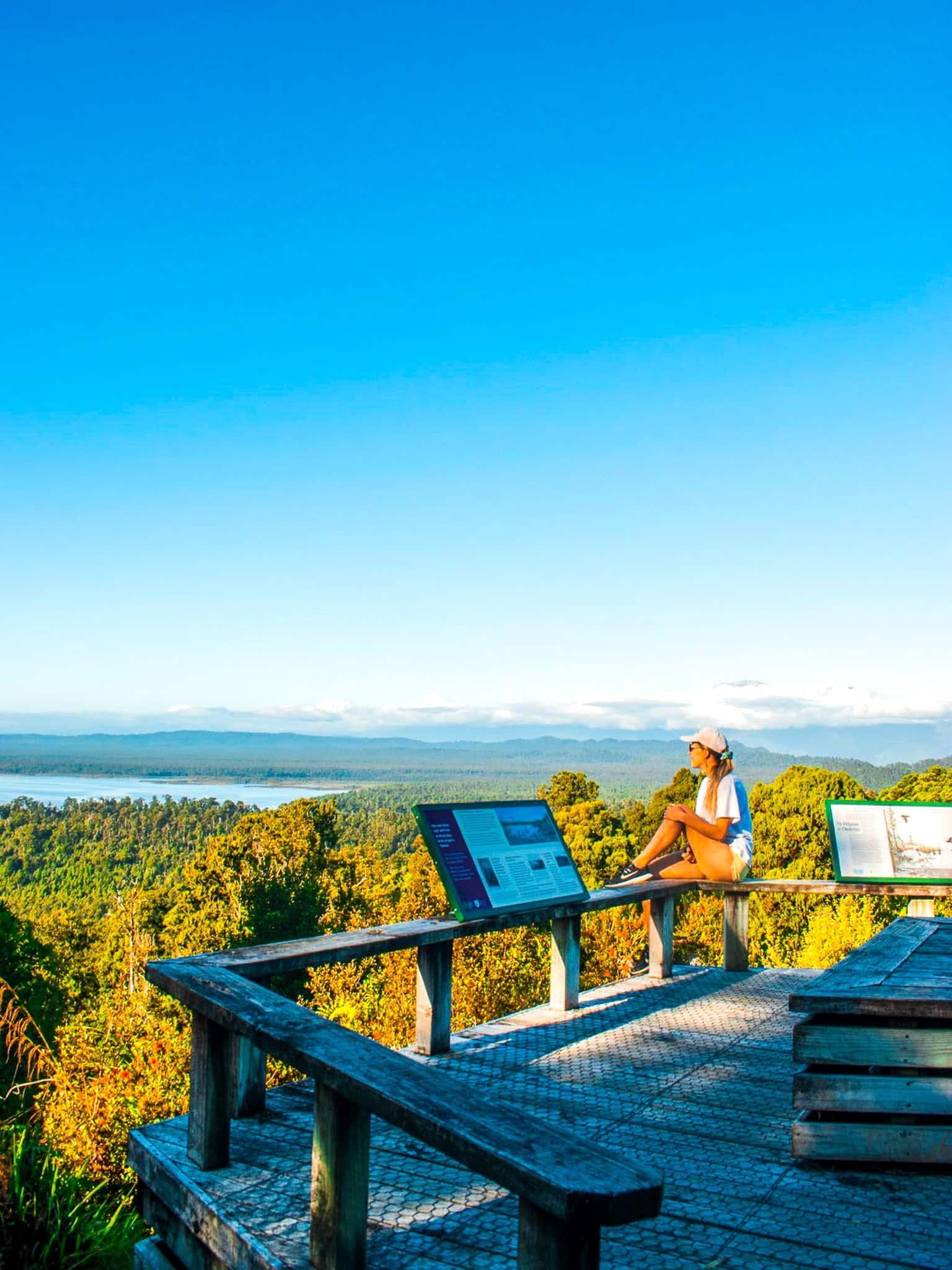
Ōkārito Trig Track
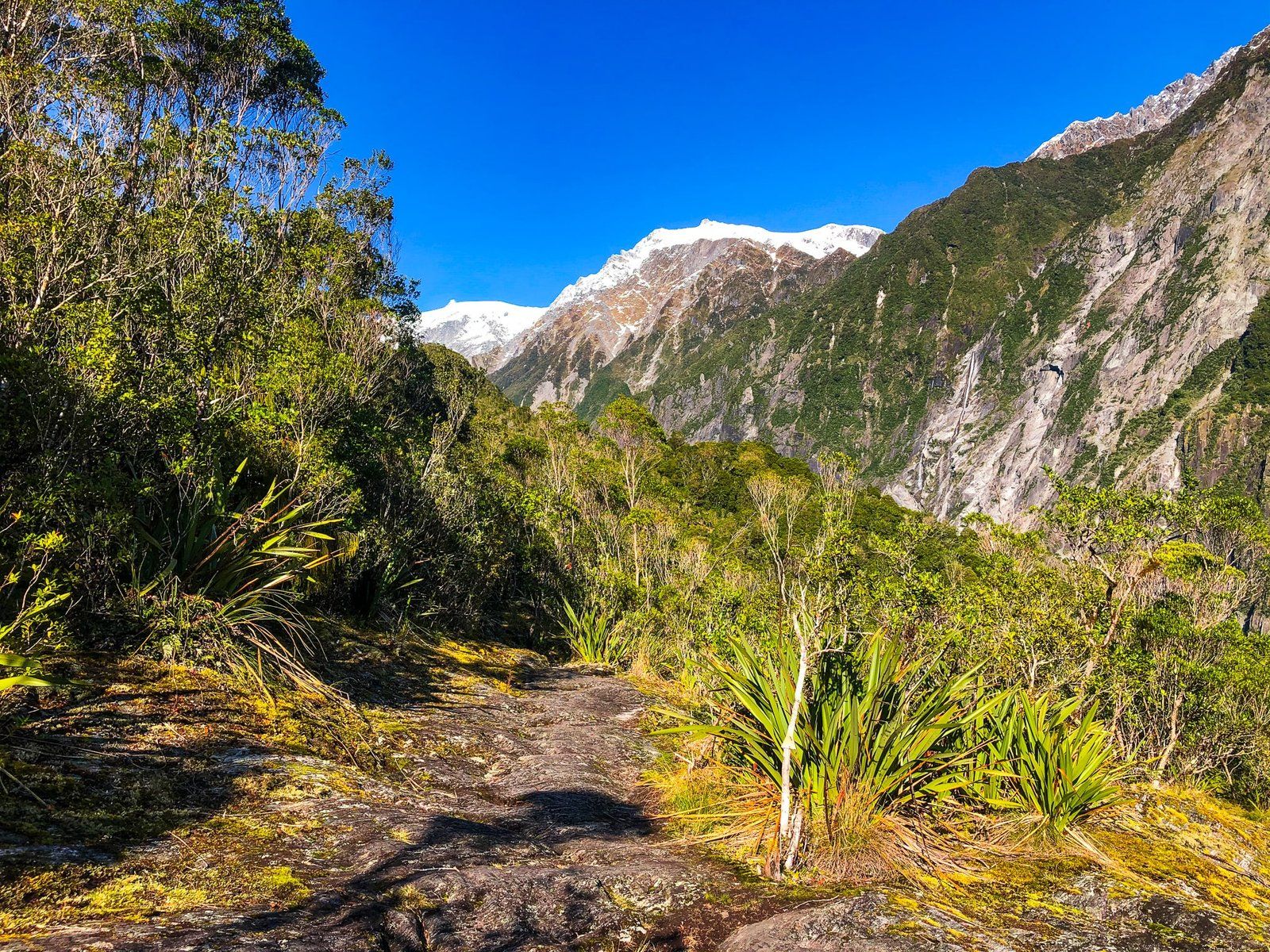
The Ōkārito Trig Track branches off the Three Mile Pack Track. Take the Wetland Walk from either end, then follow the Pack Track from the intersection as it enters the coastal forest. After 500 metres, the Trig track branches off and climbs to a high point at 158 metres over a kilometre. It is an easy walk with outstanding views up and down the coast. On a clear day, the view includes the highest mountains of the Southern Alps, centred around Mount Cook Aoraki and Mount Tasman.
Thanks to Georgia (@the_cornishpixie) and Jan Rozen for the photos.
Franz Josef Glacier
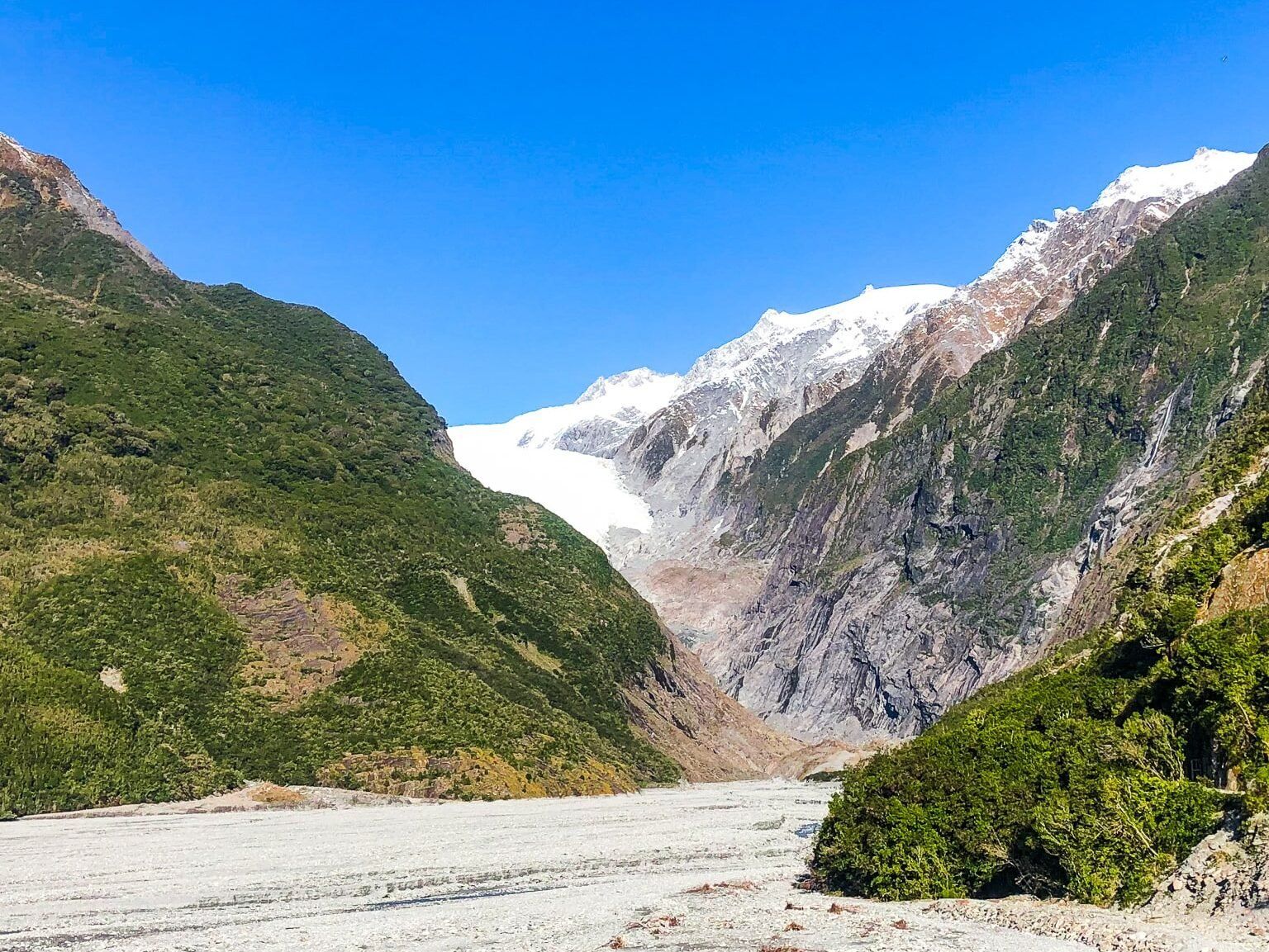
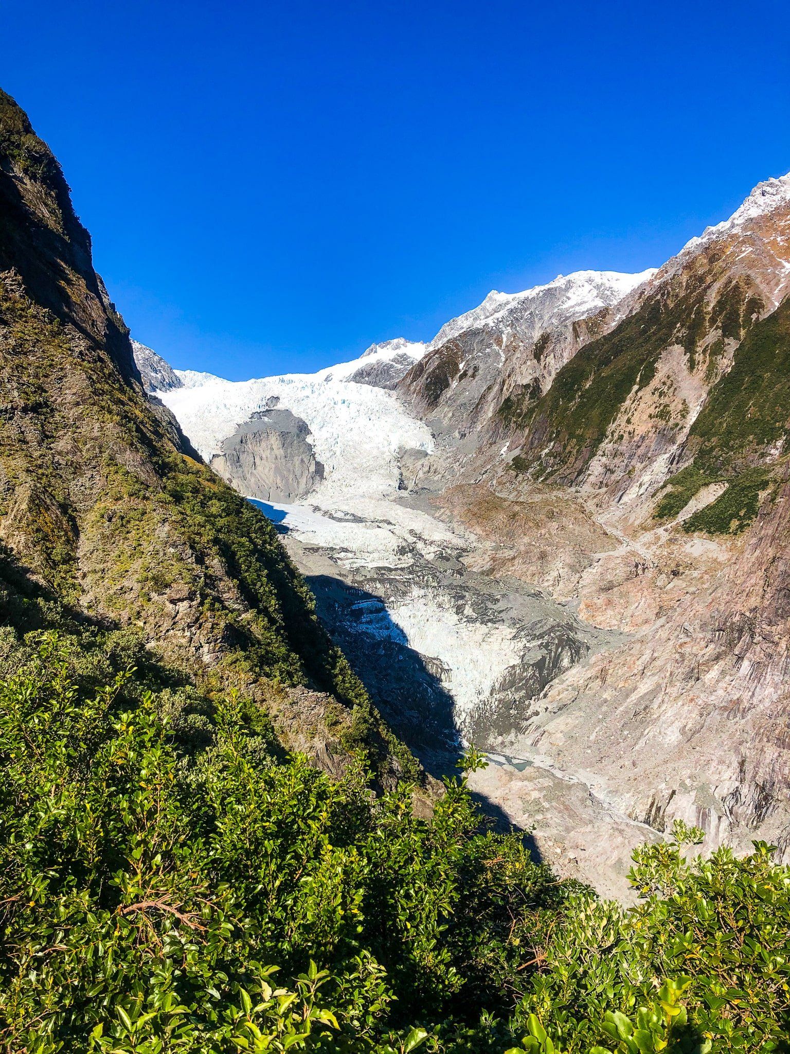
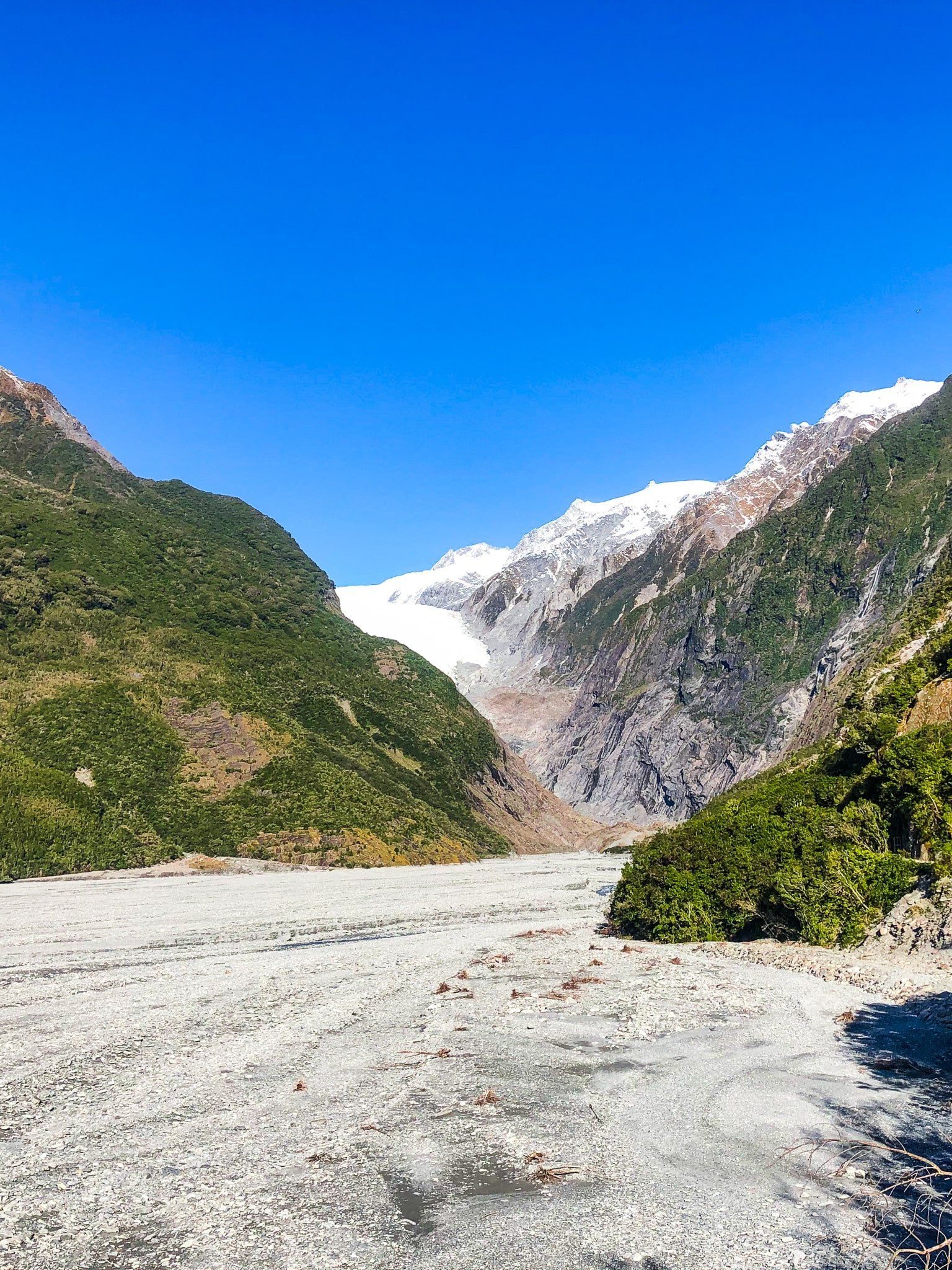
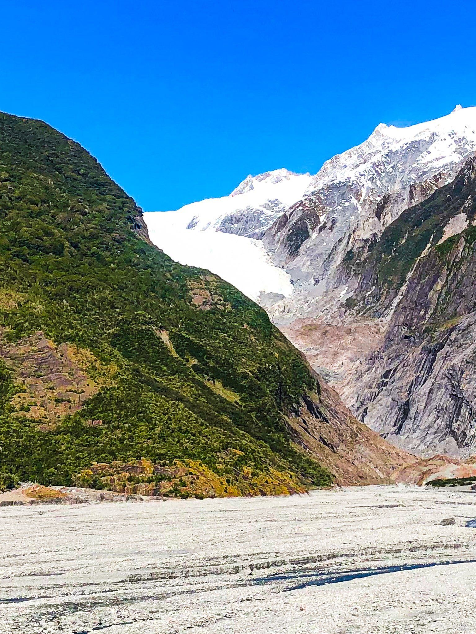
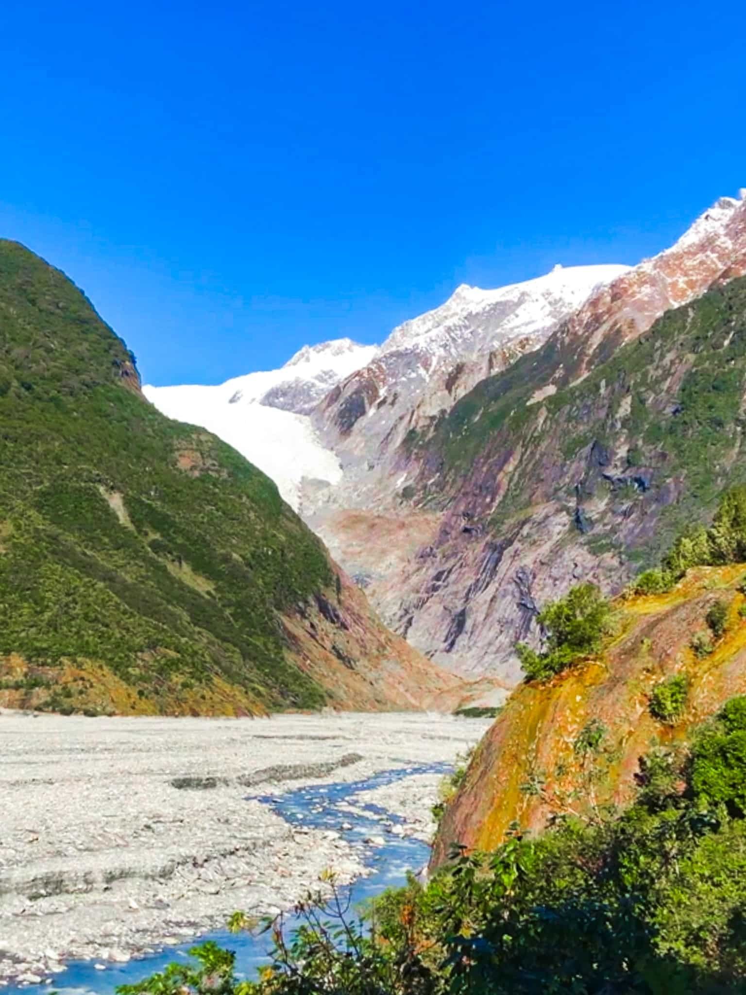
Franz Josef Glacier / Kā Roimata o Hine Hukatere is 12 km long. It starts at over 2,500 metres and drops to 300 metres amongst the rainforests of Westland in the South Island. It is a leading feature of Te Wāhipounamu World Heritage Area. The first European description of the Glacier was believed to be from a ship observation in 1859. In 1865 the glacier was named after the Austrian Emperor Franz Josef I by the German explorer Julius von Haast.
The Māori name for the glacier is Kā Roimata o Hine Hukatere and much more romantic. It means ‘The tears of Hine Hukatere’, referring to the tears of Hine that formed the glacier following the death of her less capable climbing partner Tuawe in an avalanche.
It has long been a major tourist attraction and it was once possible to walk to the terminus of the glacier. However, it has become dangerous to approach the face as it has retreated (over three km in the last 100 years). Access now requires helicopters and guides. However, there are a number of tracks around the Waiho River valley leading towards the glacier.
To access the valley tracks, take Franz Josef Glacier Road off State Highway 6 immediately to the south of Franz Josef Waiau township. Park at the start of Alex Knob Track and Douglas Walk or drive to the end of the main car park. The former provides quicker access to the Roberts Point Track, Alex Knob Track and Lake Wombat Walk. From the end of the car park, there are short easy walks to Peters Pool on Douglas Track, to the edge of the valley and to the top of Sentinel Hill.Thanks to Georgia (@the_cornishpixie) and Jan Rozen for the photos.
Douglas Walk
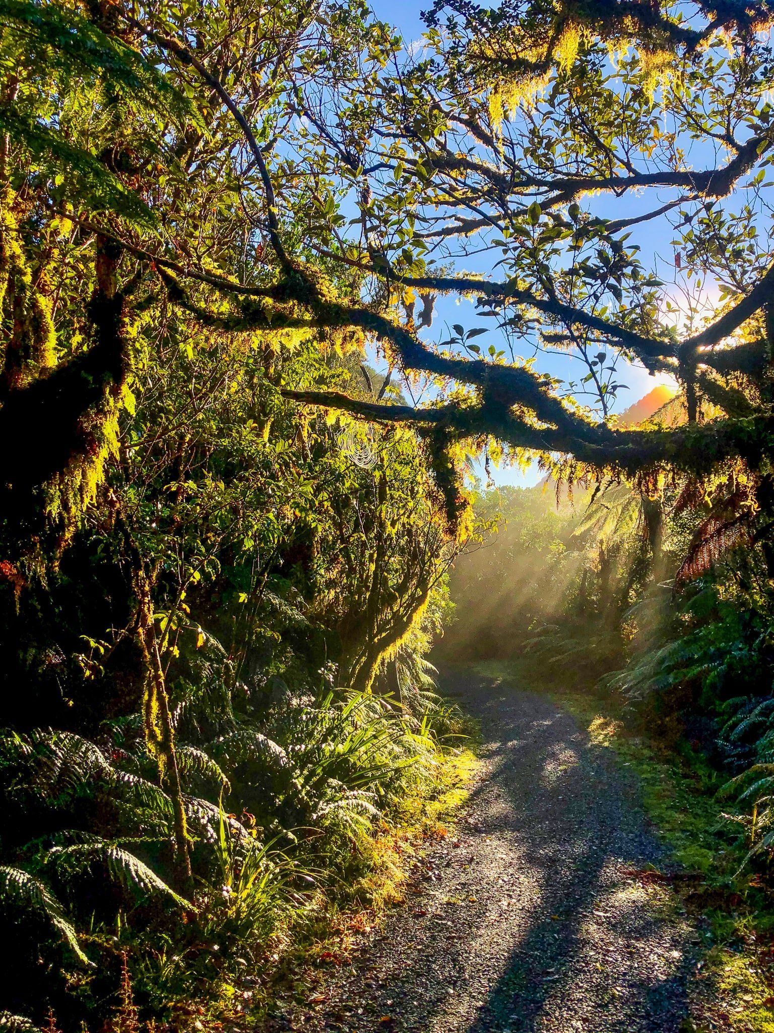
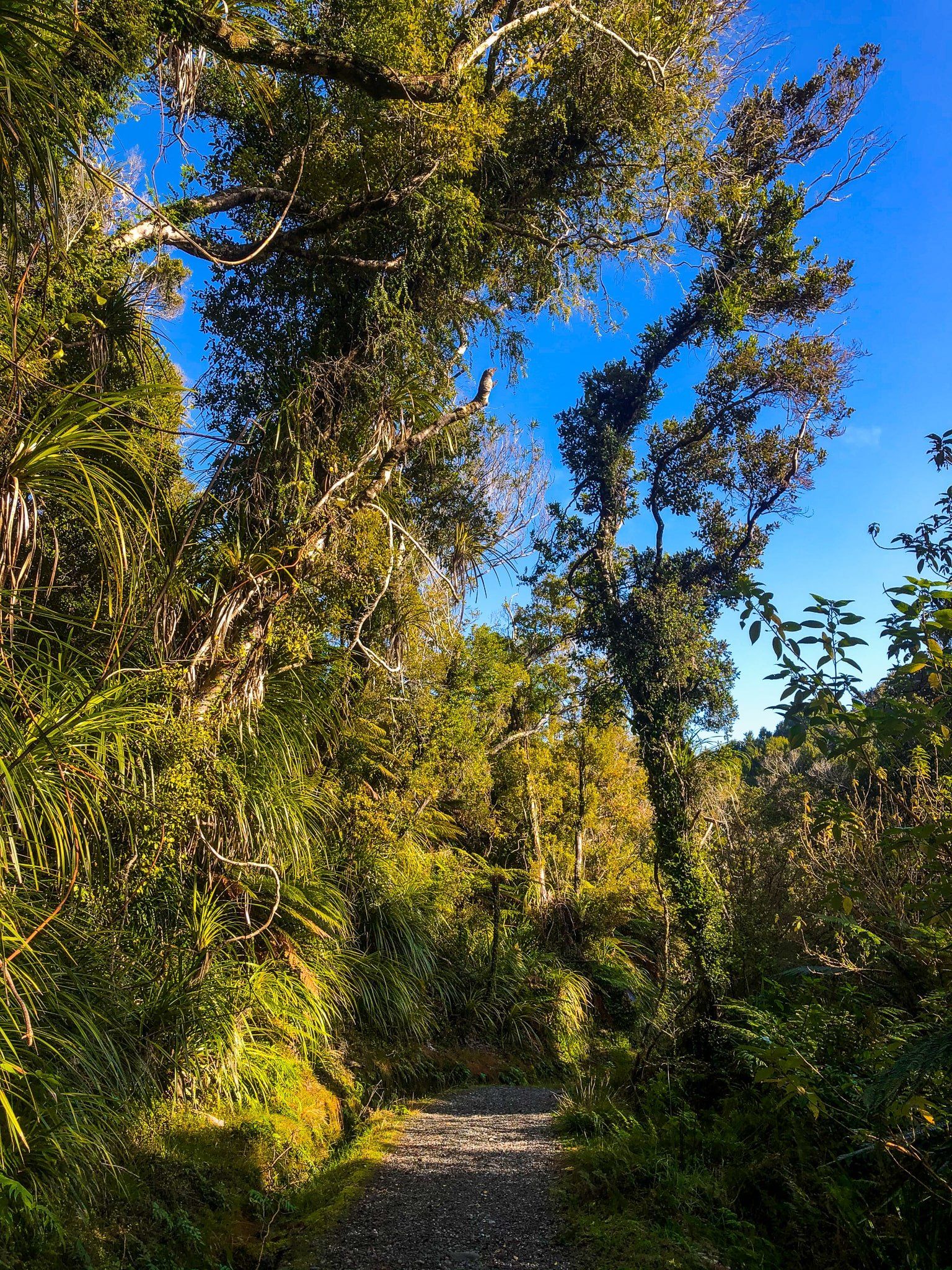
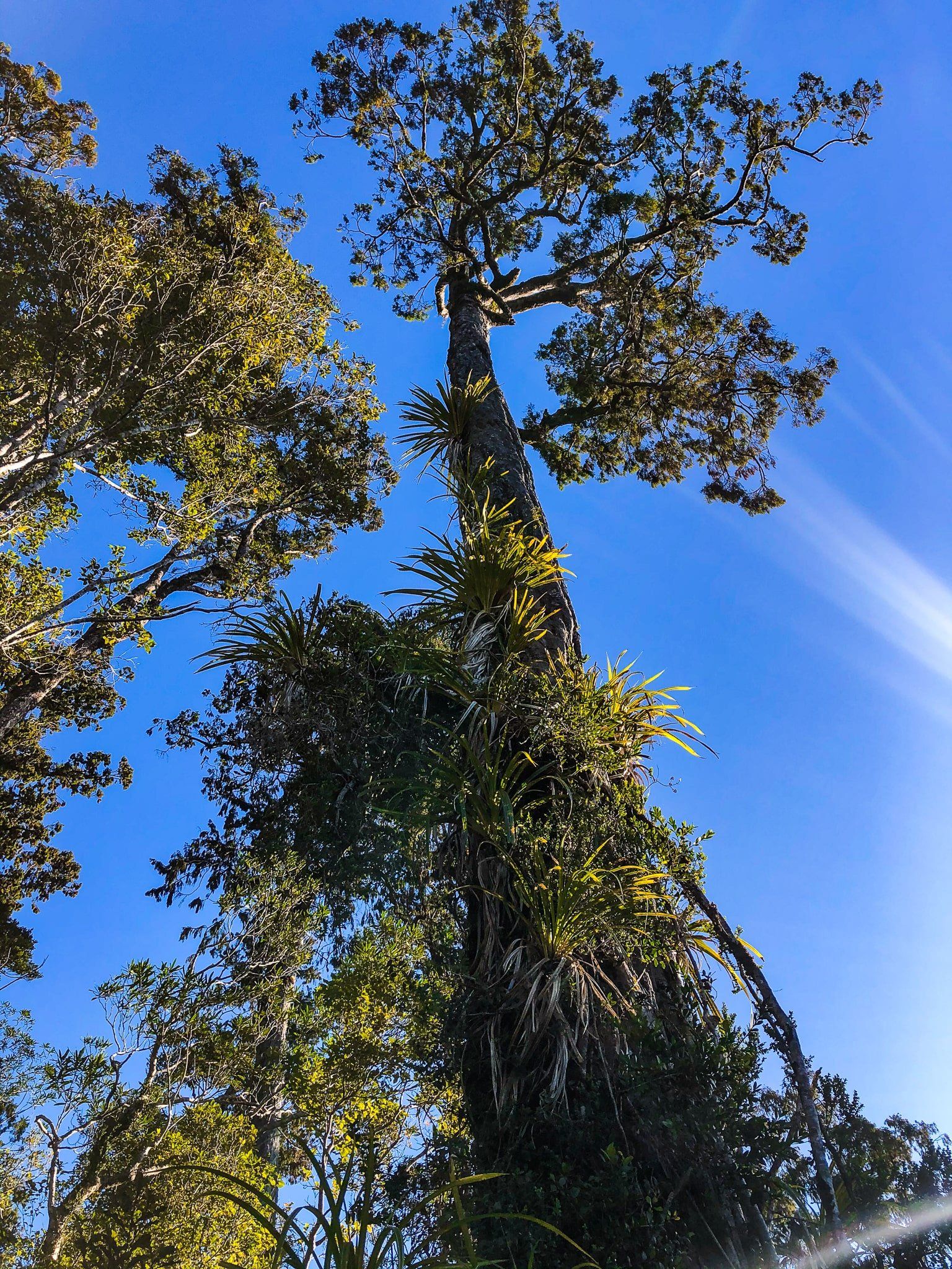
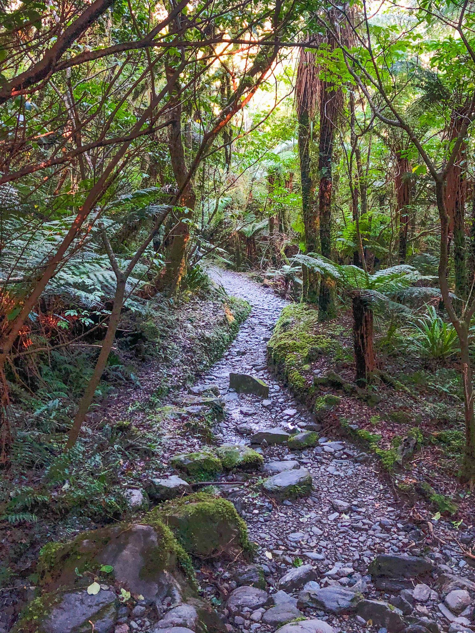
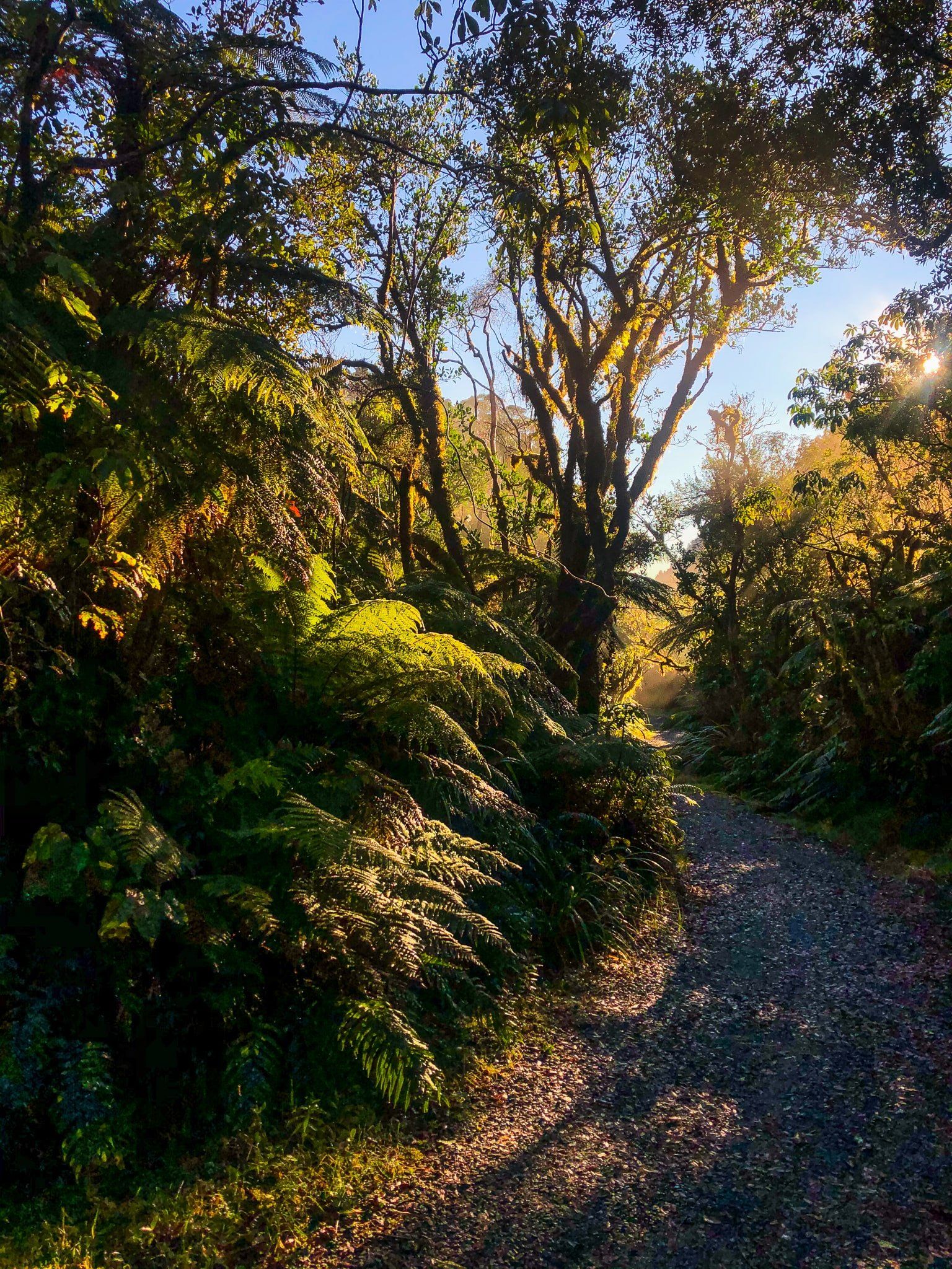
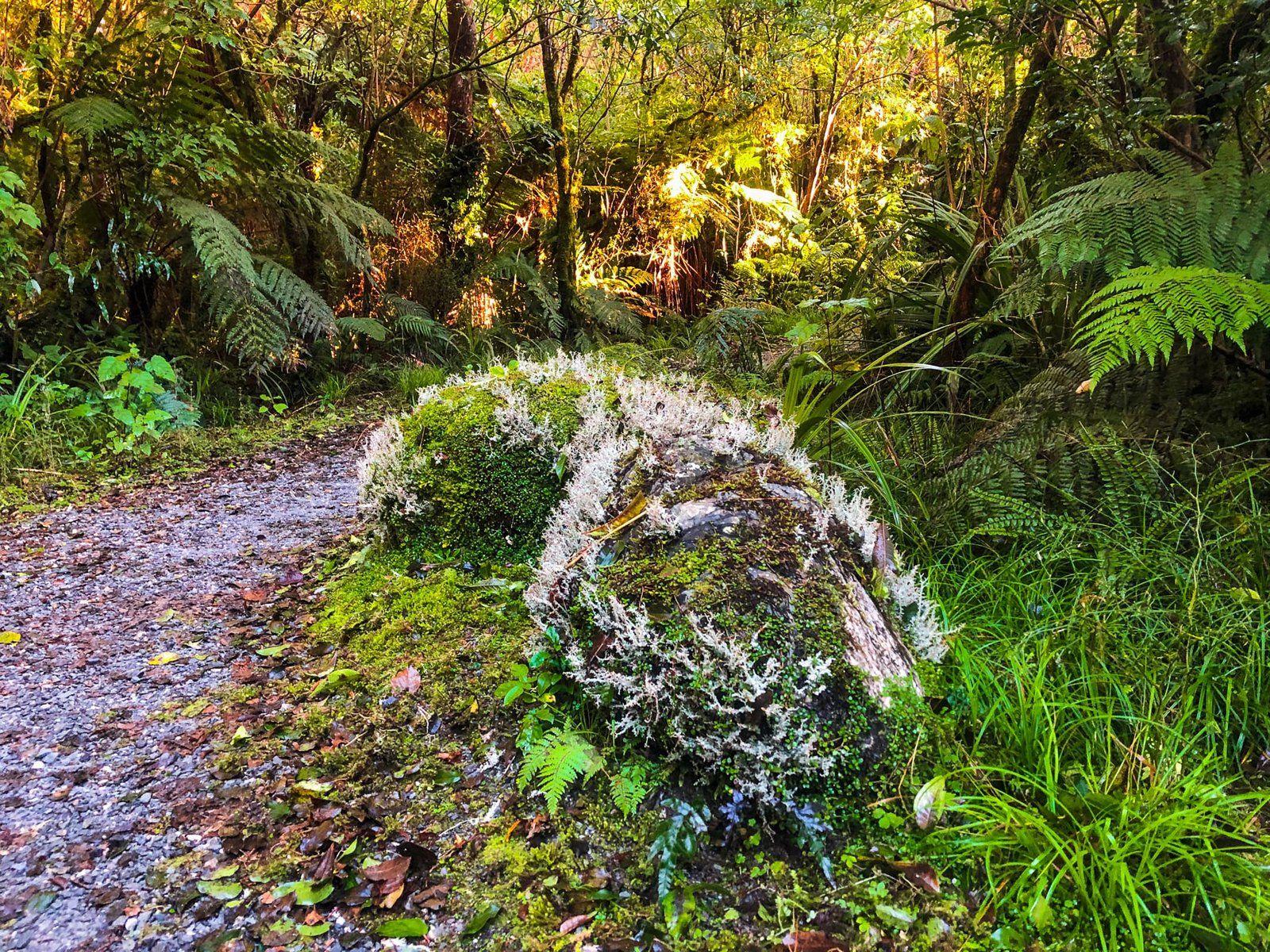
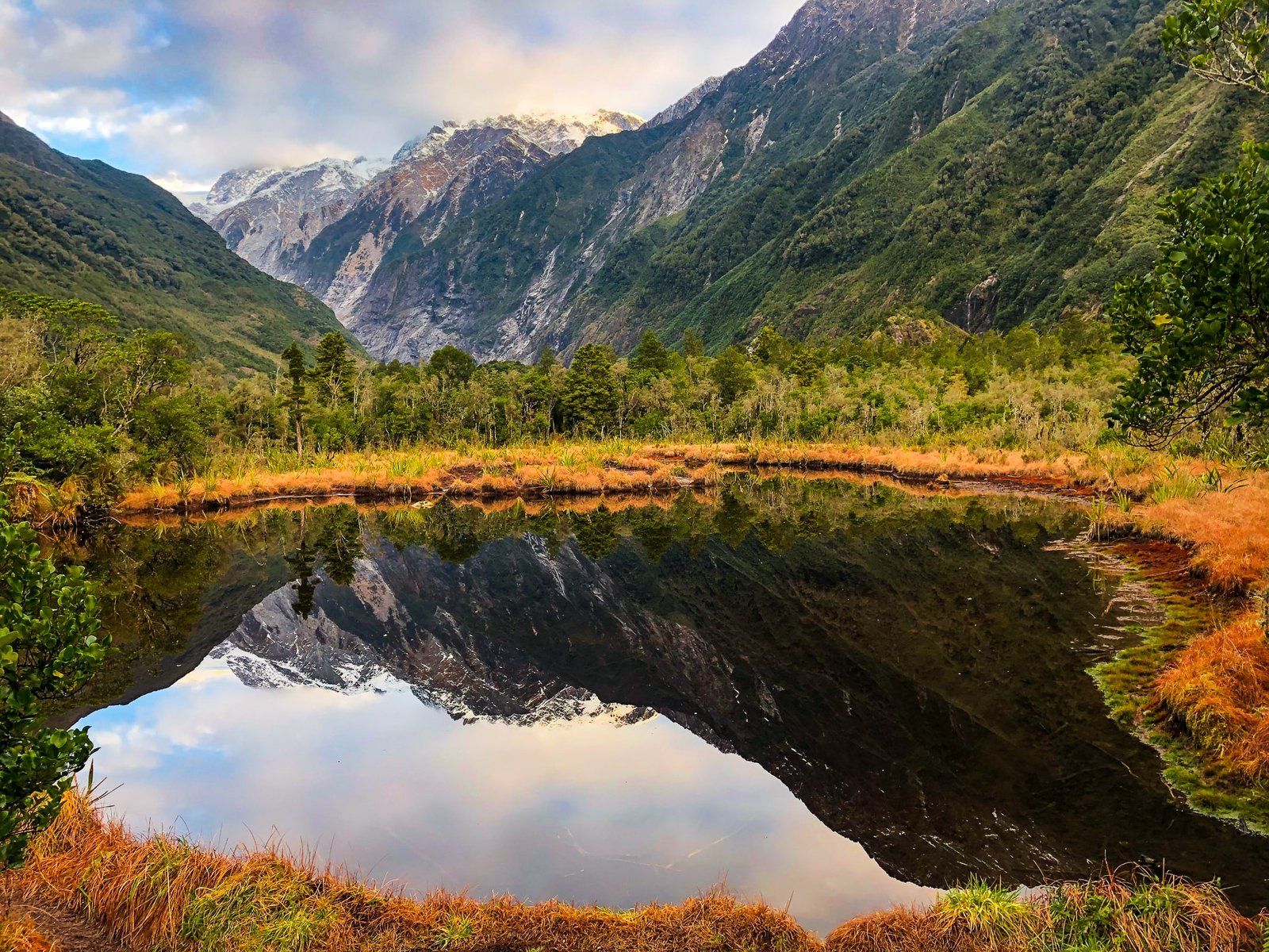
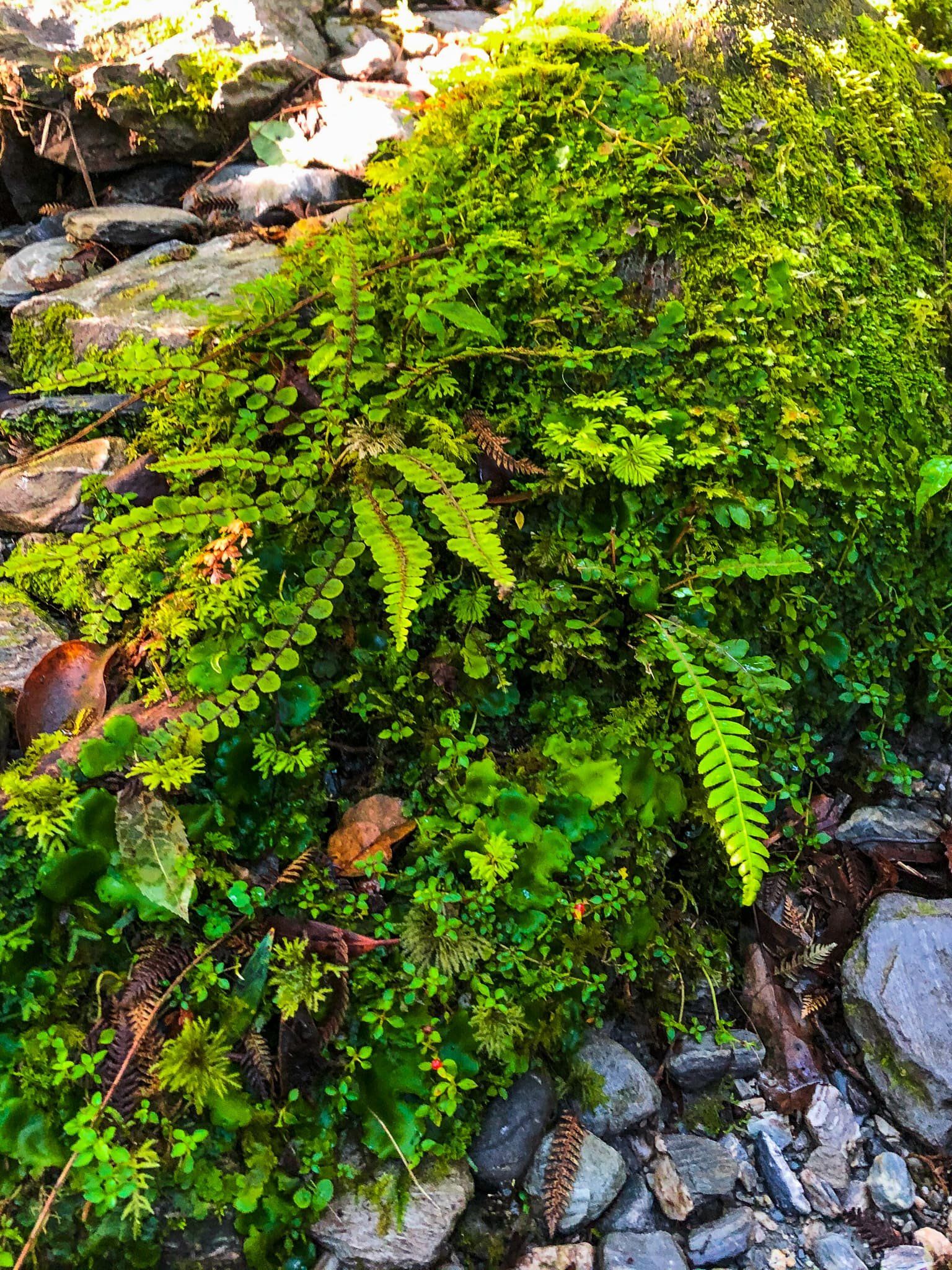
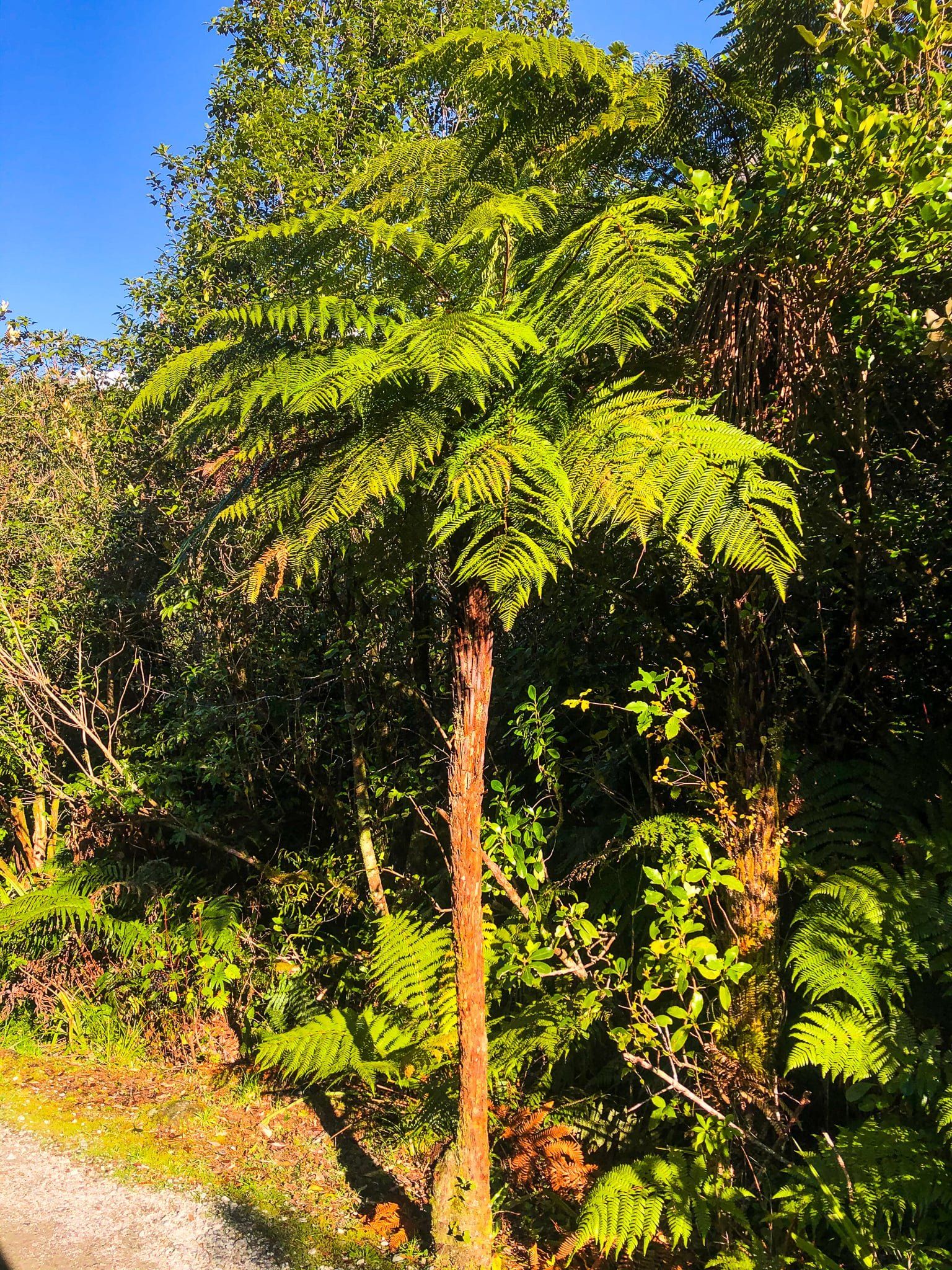
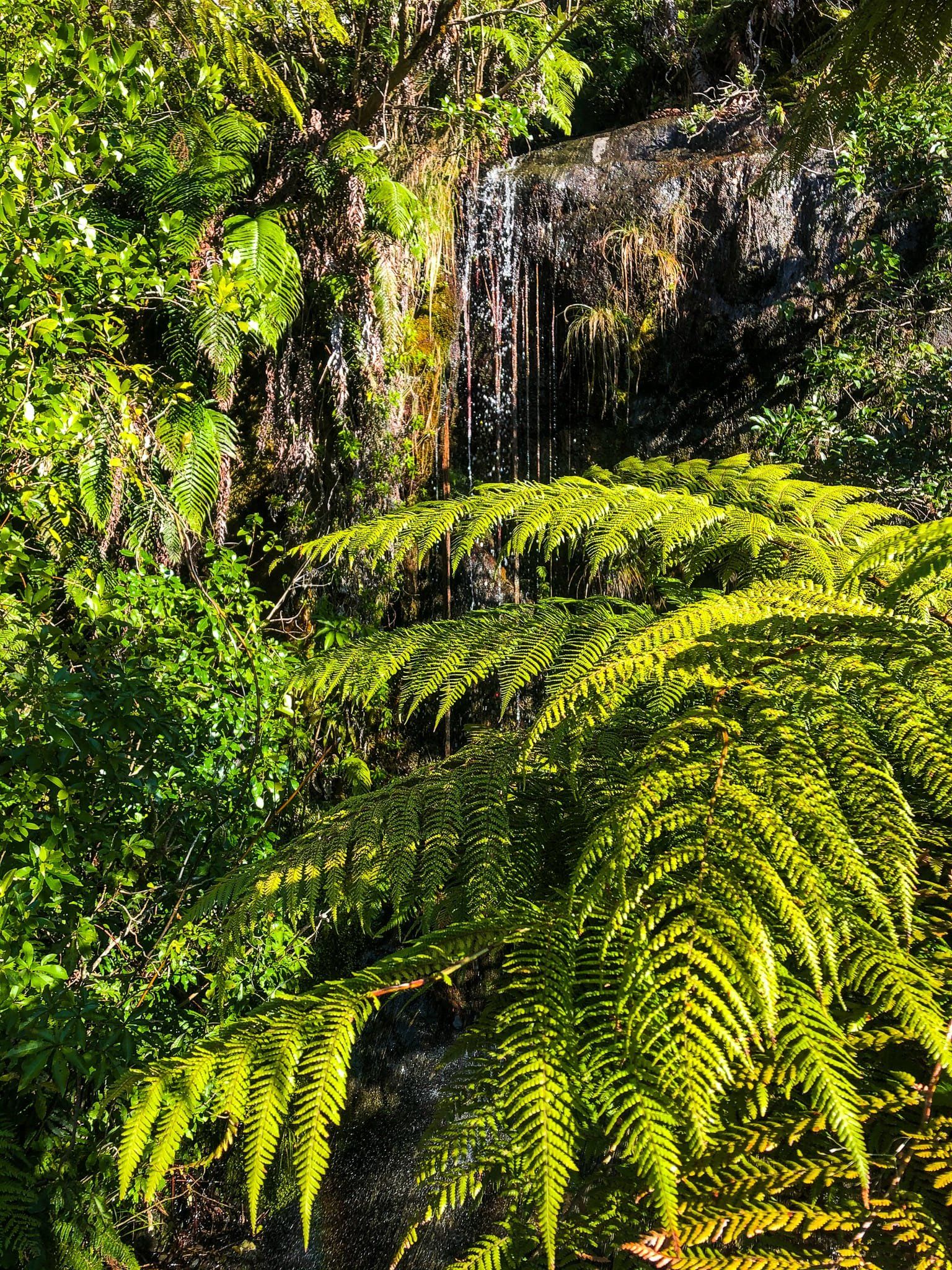
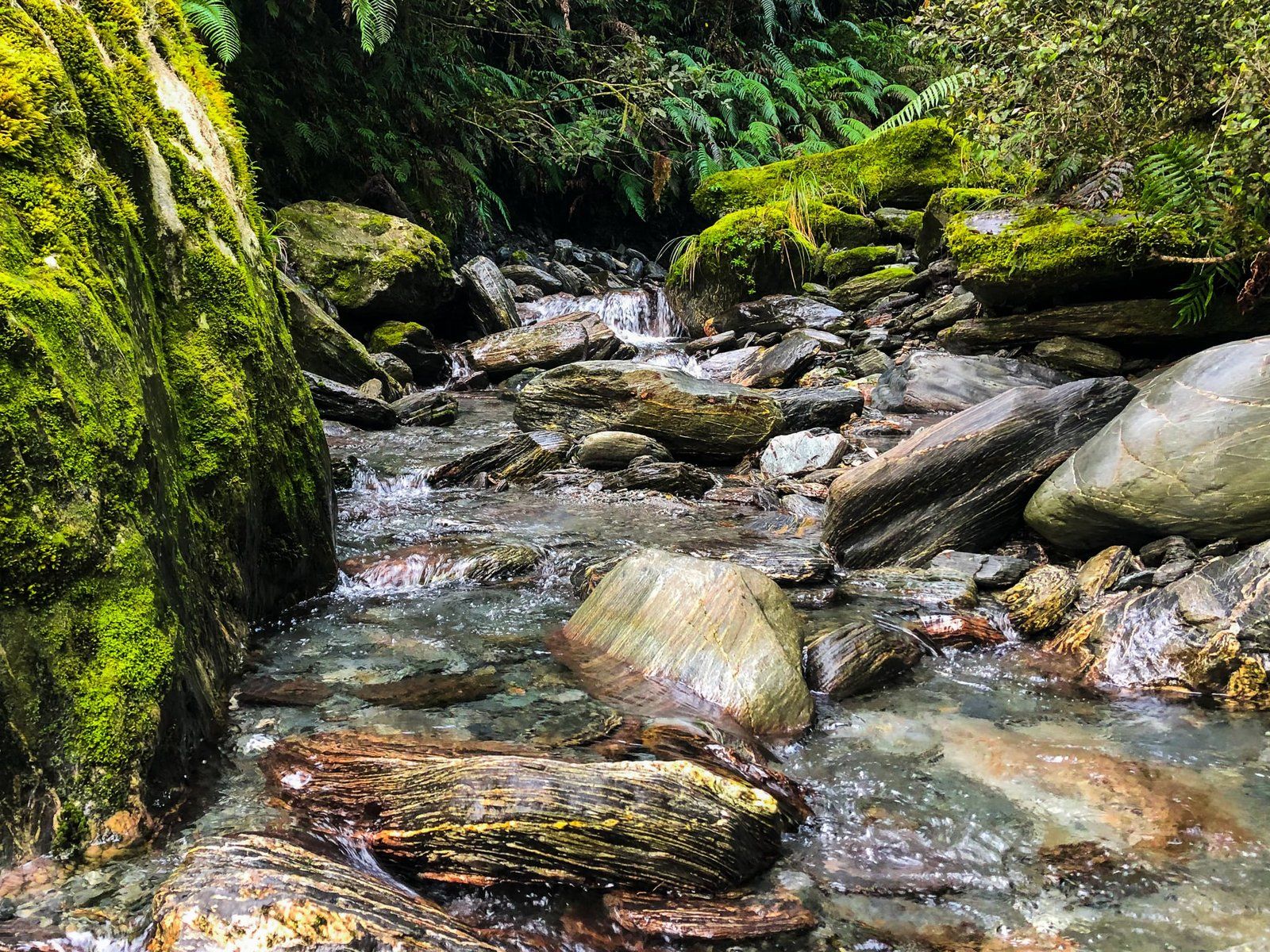
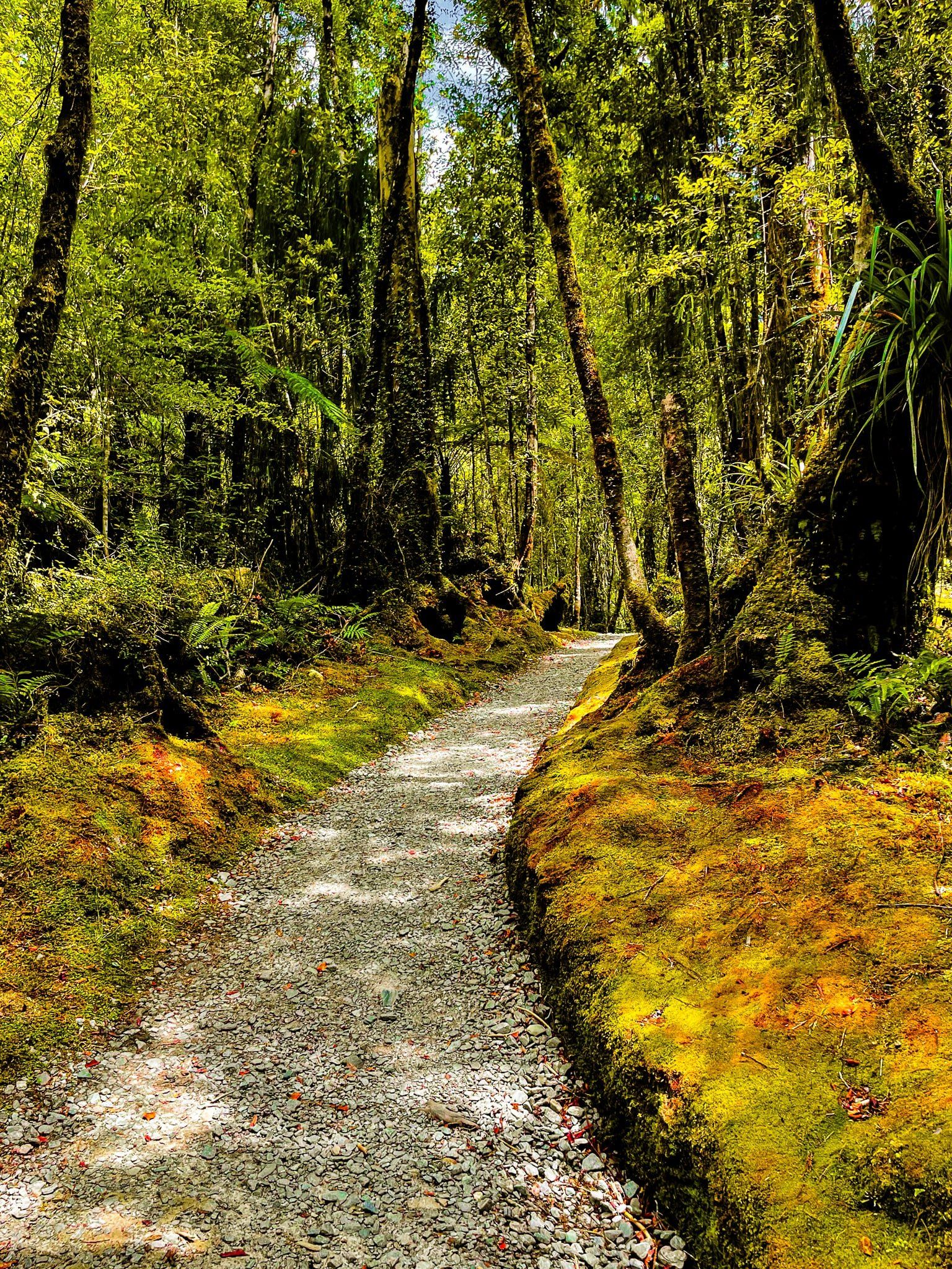
The Douglas Walk is an easy and interesting Glacier Country walk in the Waiho Valley, north of the Franz Josef Glacier/Kā Roimata o Hine Hukatere terminus. It runs through an area that was formed 250 to 400 years ago by the advances and retreats of the Glacier. This has left a roughly one and a half km flat strip of land between the Waiho River and the access road that shows a progression of various types of plants. These reflect the stage of re-growth behind the retreating ice and soil.
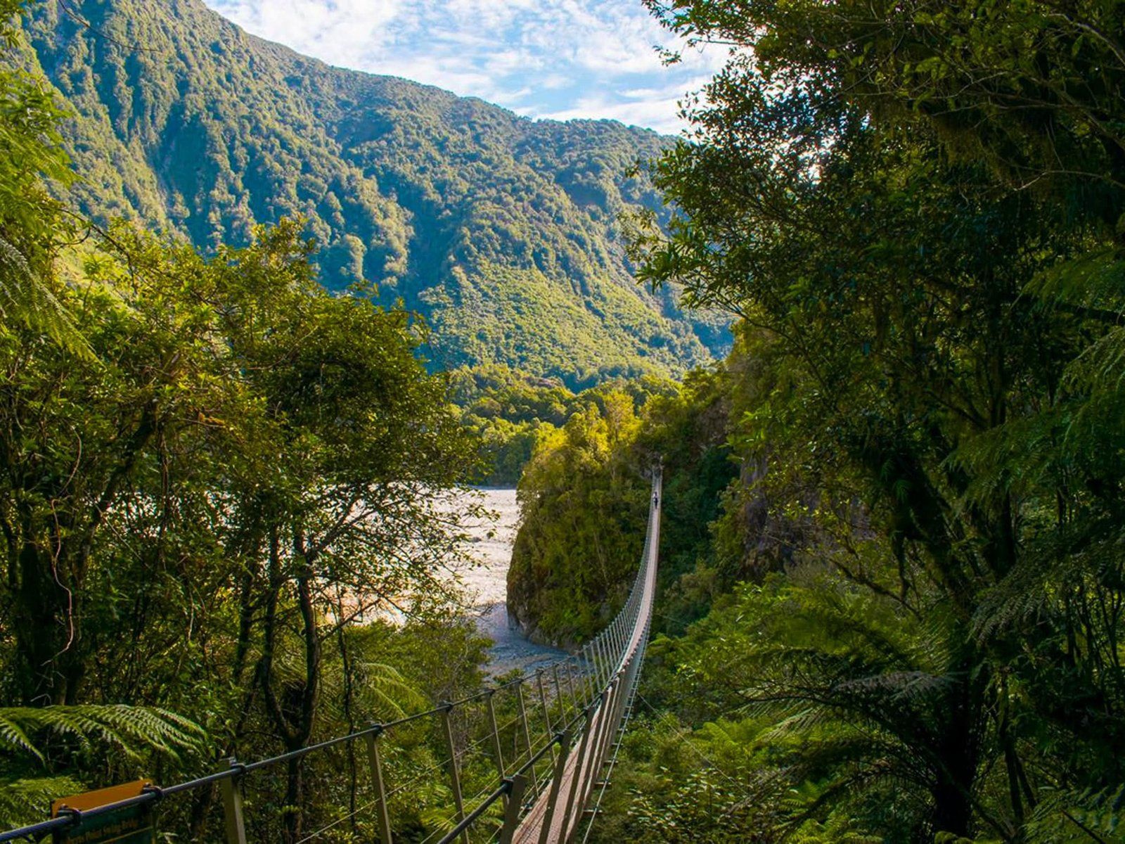
The walk is almost four km return and can be started from the main car park at the end of the access road or from the Alex Knob Track car park. A short distance from the main car park, it passes Peters Pool which in calm conditions provides a perfect reflection of the Southern Alps. Towards the other end is the historic Douglas Bridge which crosses the Waiho River. The bridge is a 140-metre-long suspension, originally built in 1900 but restored in 1994. It and the track are named for an early explorer of the region, Charlie Douglas, whose name appears in several features in the region.
The Douglas Bridge is also the start of the Roberts Point Track.Thanks to Georgia (@the_cornishpixie) and Jan Rozen for the photos.
Sentinel Rock
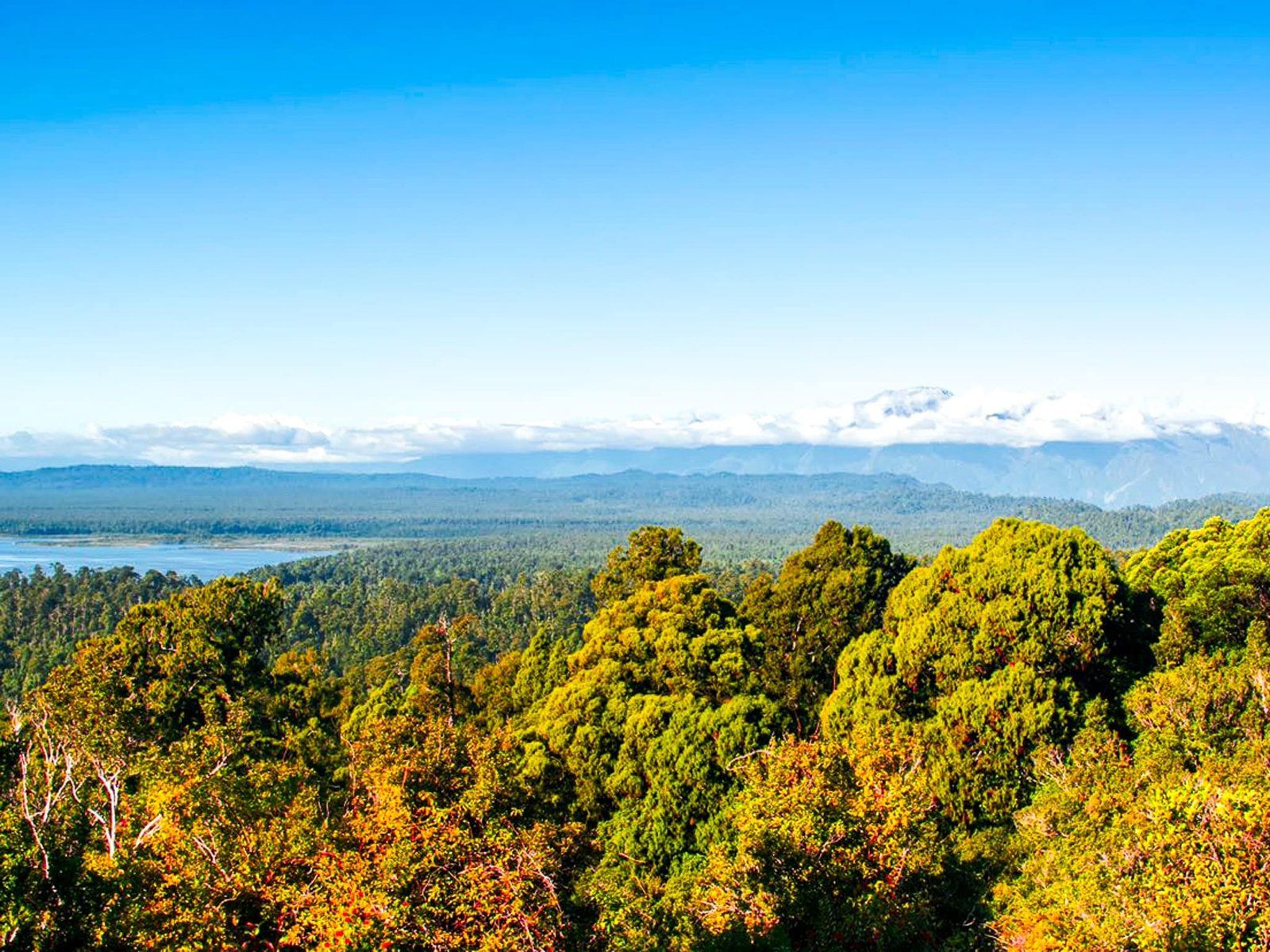
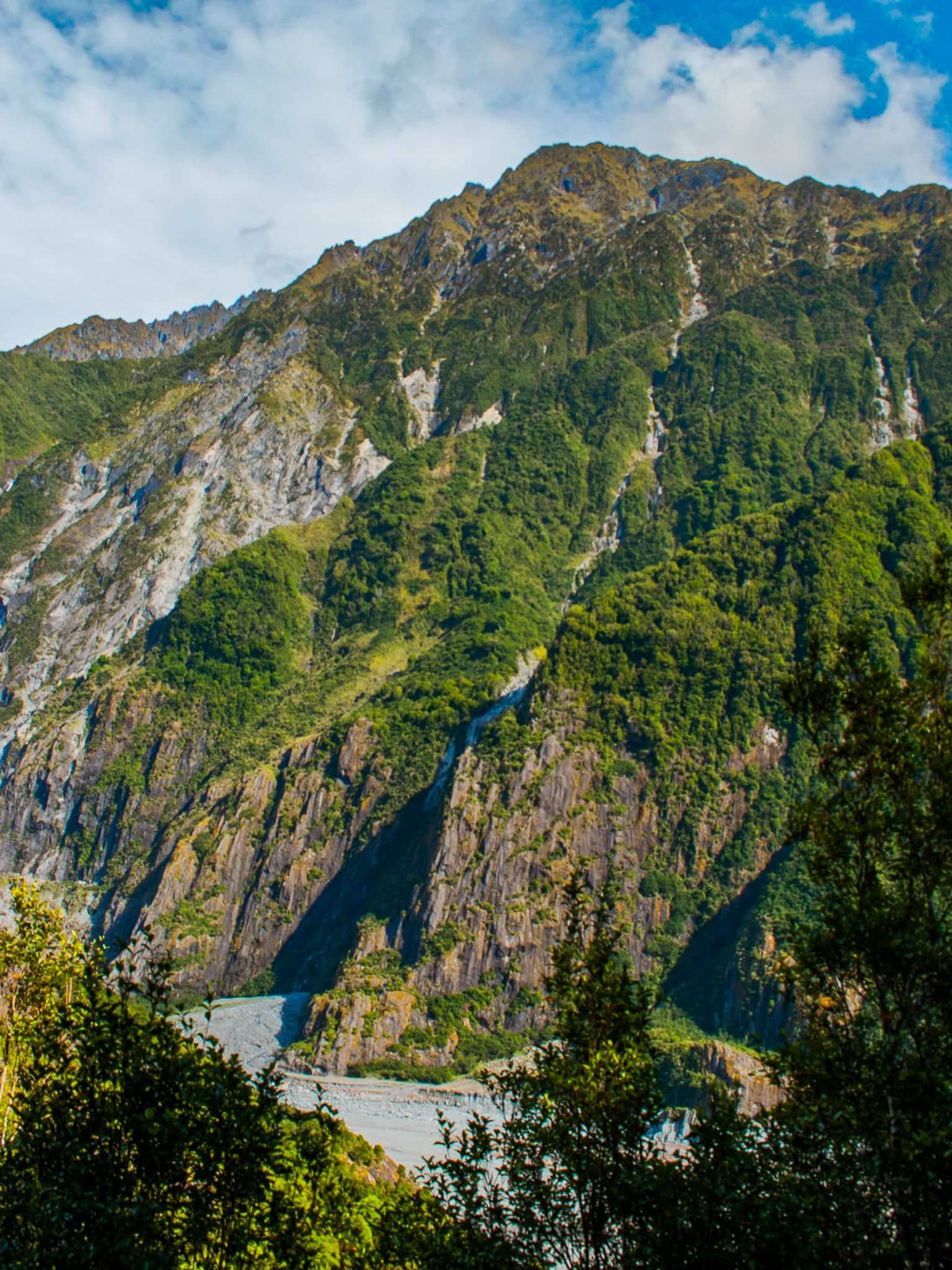
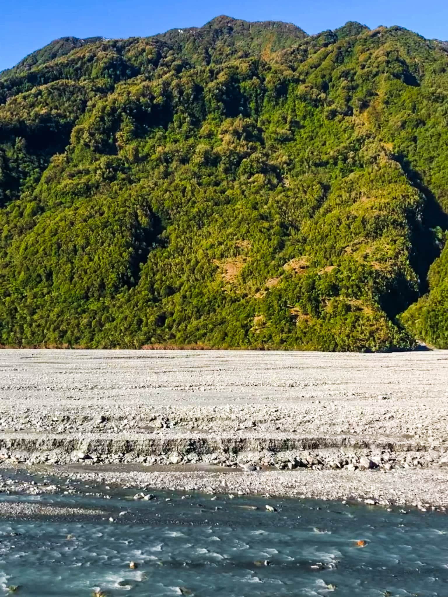
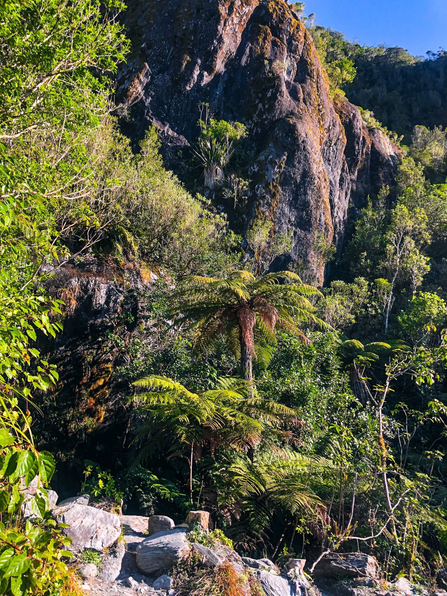
Sentinel Rock is an easily accessible highpoint with views over the Waiho Valley and to the terminus of Franz Josef Glacier / Kā Roimata o Hine Hukatere. Follow the short 200 metre track from the south end of the main car park at the end of the access road. This climbs about 50 metres for views of the Glacier and the Waiho River.
This is also the best spot to get a sense of how the environment has changed, with Information panels showing the three km glacial retreat over the last 100 years. The rock itself only emerged from the ice in 1865 having been ground into a “moutonnee”, or a rock that has the rounded shape of a sheep’s back. As the ice retreated, so has the scrub and forest developed, with plants setting and growing amongst the post-glacial moraine and rubble.
The walk only takes 20 minutes and is easy to tag onto the Douglas Walk.
Thanks to Georgia (@the_cornishpixie) and Jan Rozen for the photos.
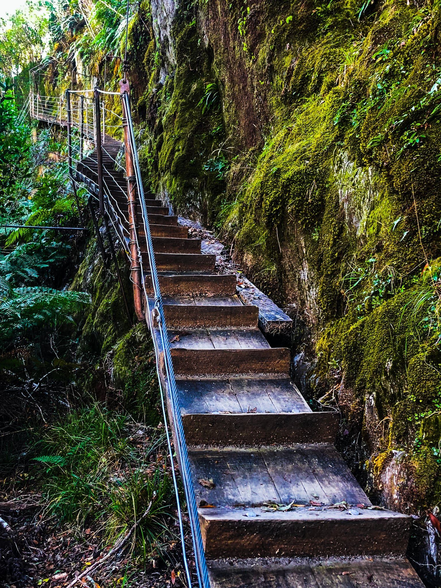
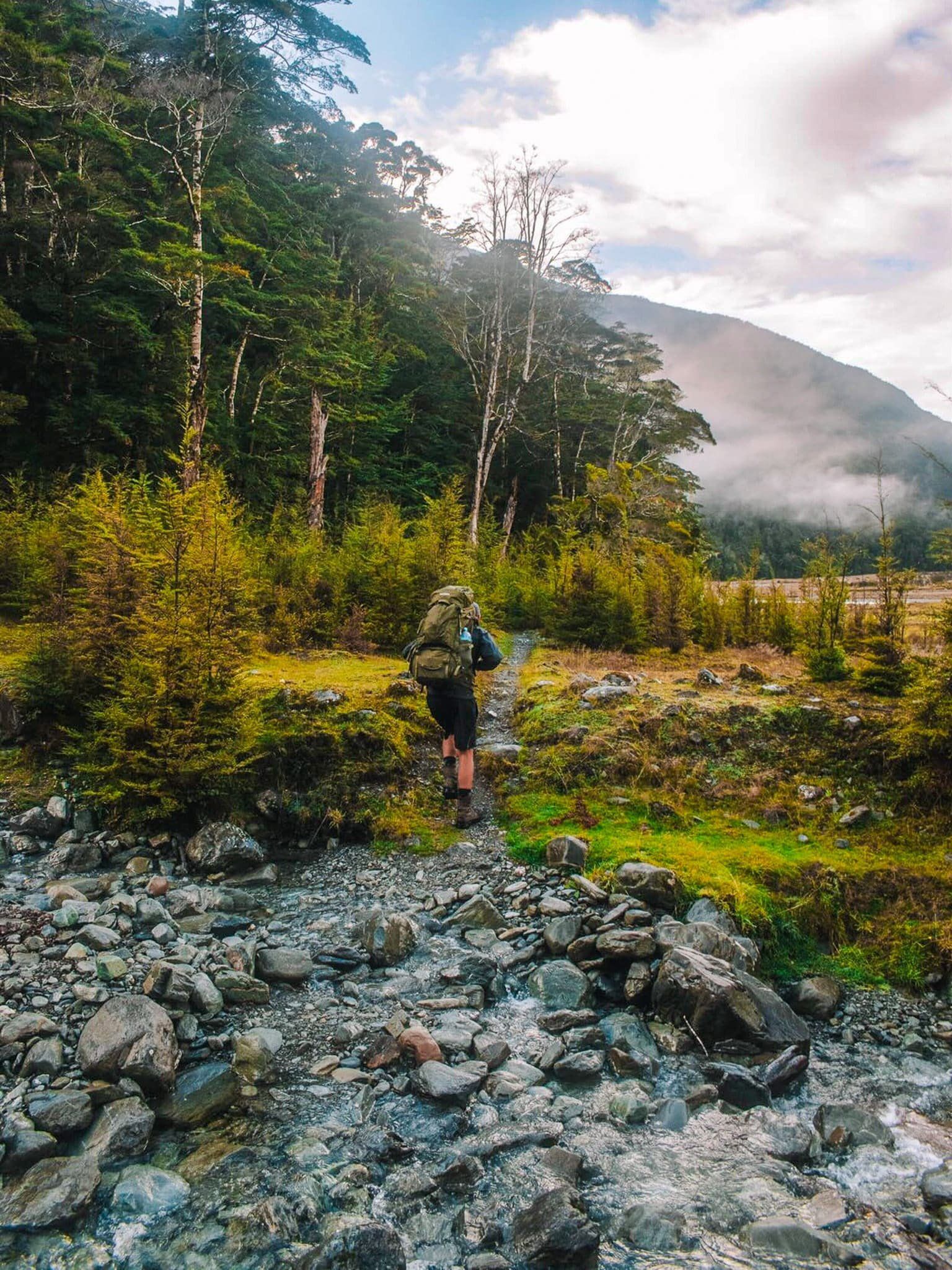
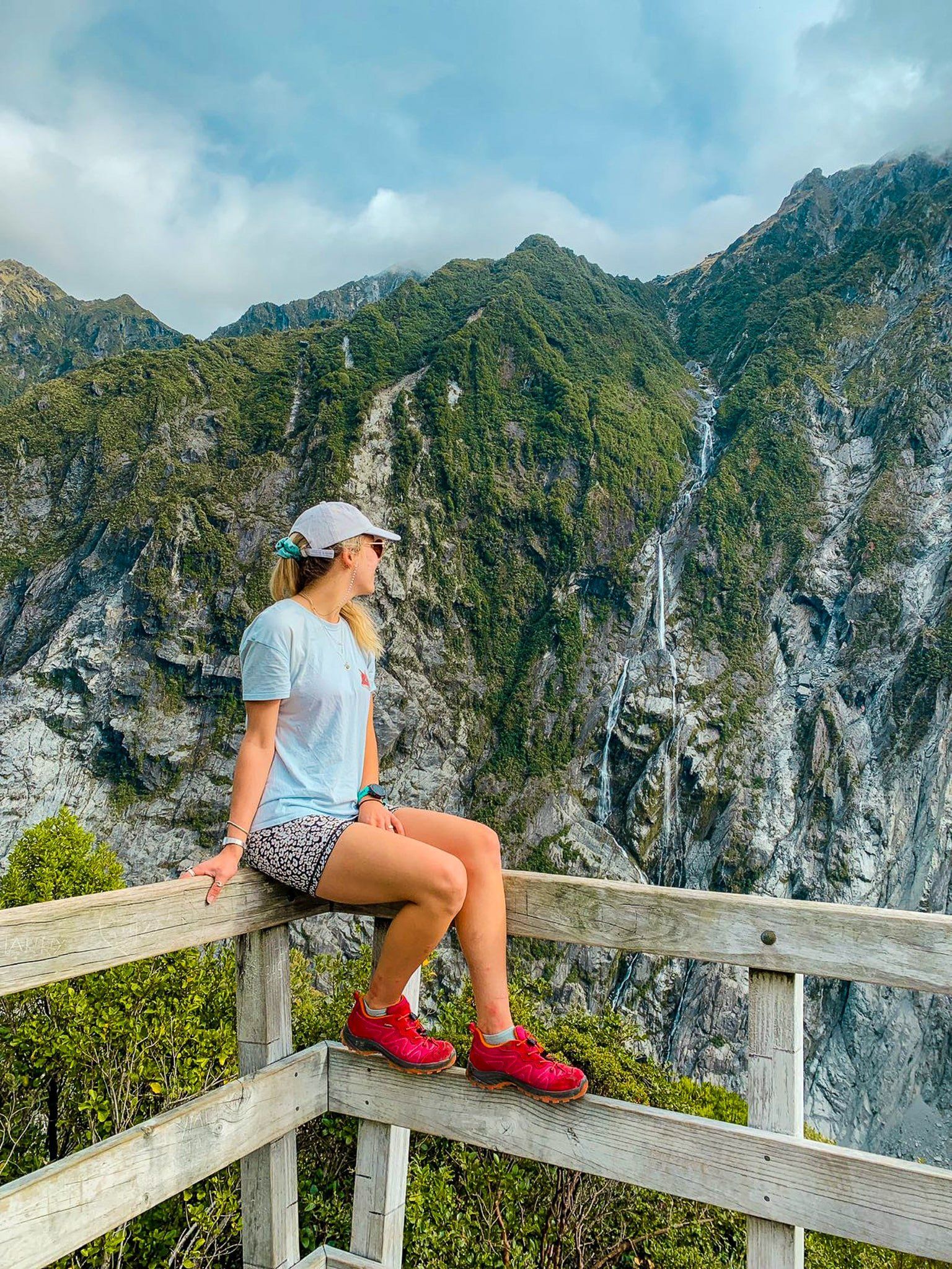
Roberts Point Track
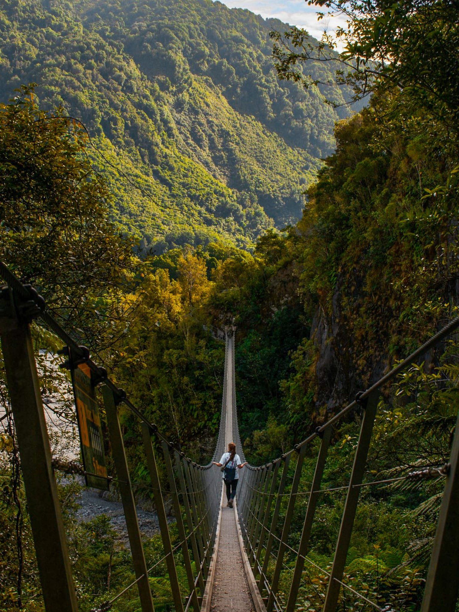
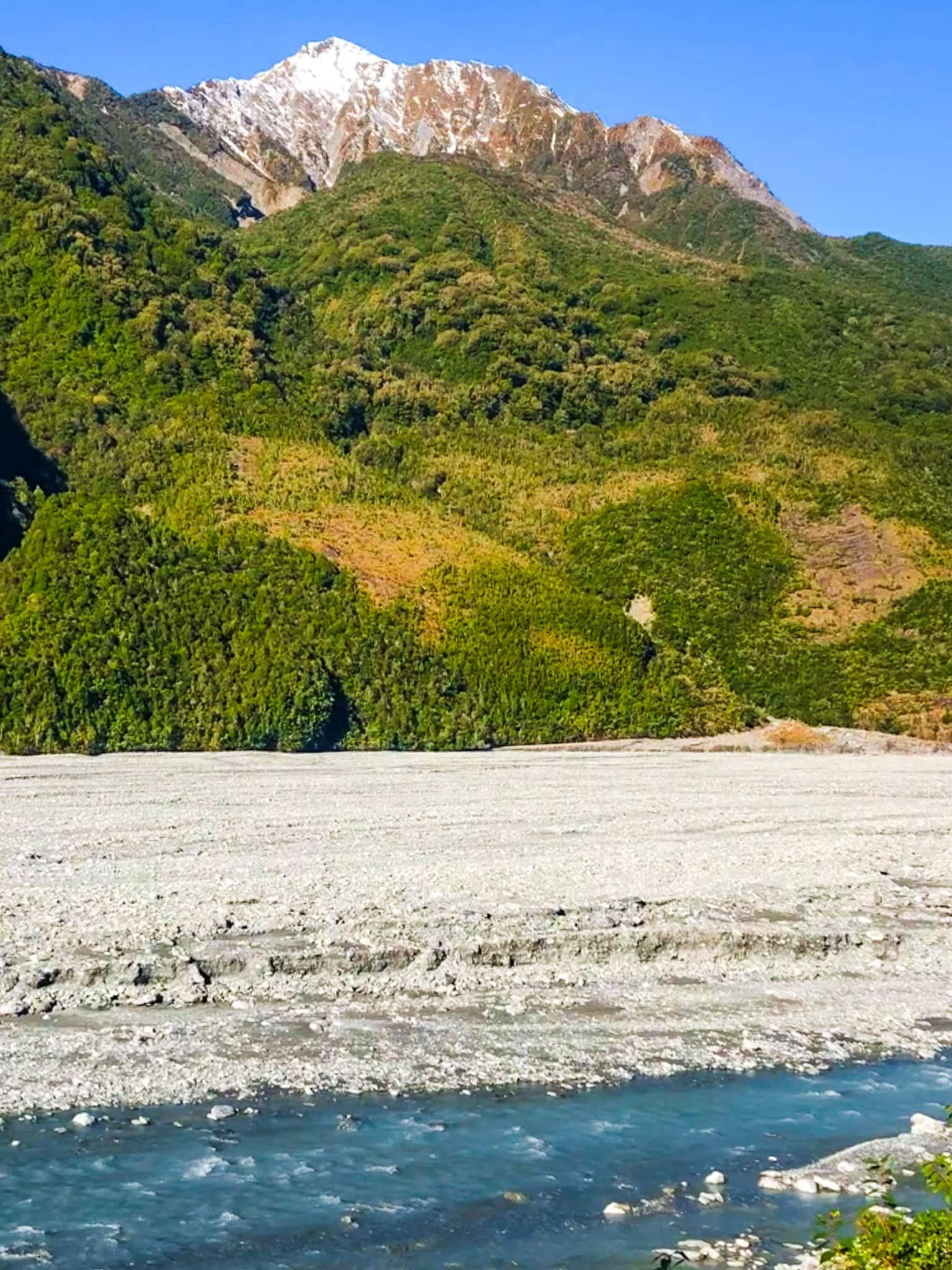
Roberts Point Track starts from the Douglas Bridge and is one of the most interesting and challenging tracks in the Glacier Country, Westland. It takes about five hours in total and follows the east side of the Waihi Valley to Roberts Point. From the point, there are outstanding views of the valley and Franz Josef Glacier / Kā Roimata o Hine Hukatere.
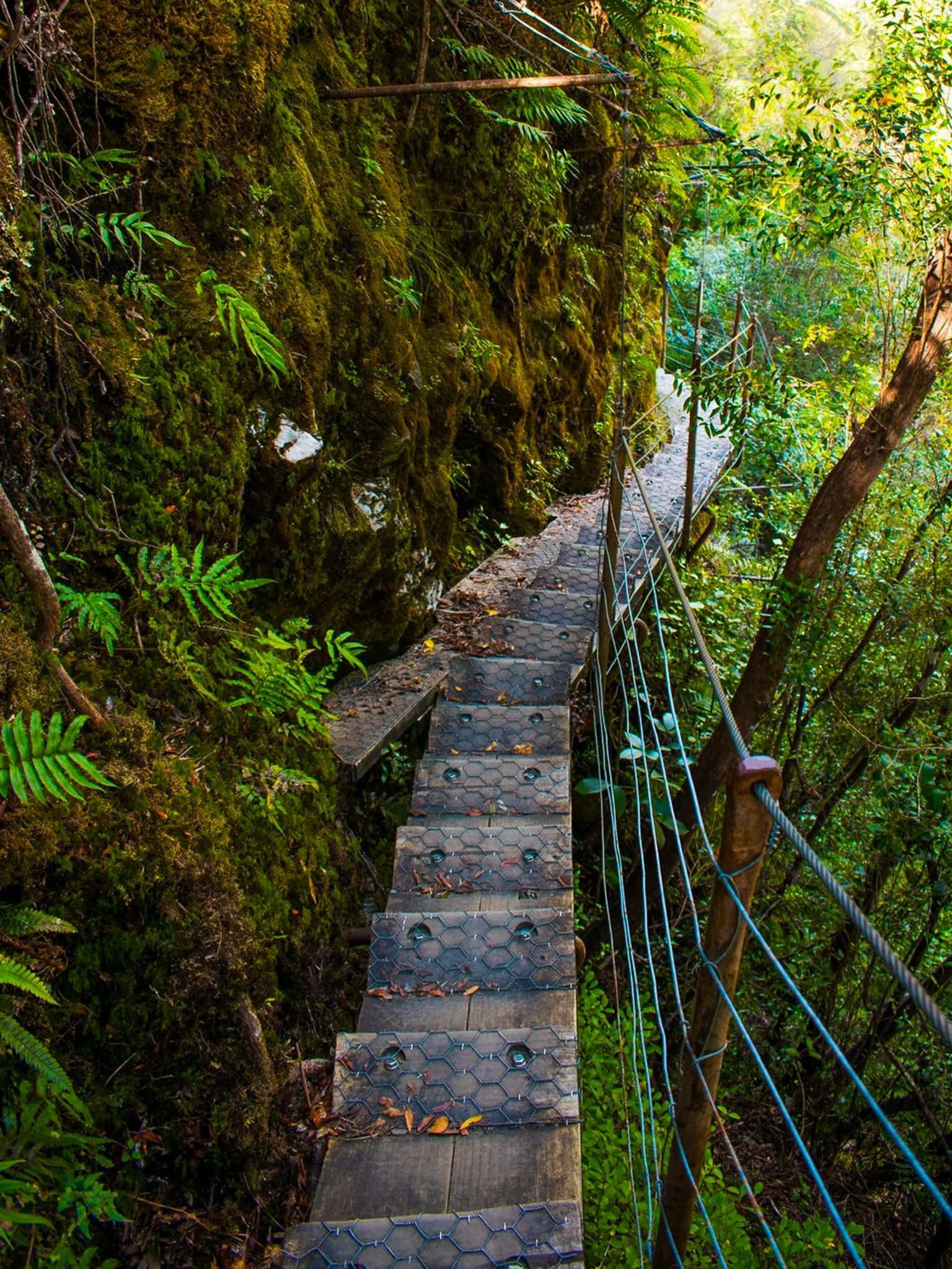
From the historic 140 metre long swing bridge, the track initially follows the line of the Waiho River through forest for about one km, then rises to a second shorter swing bridge. This is followed by a relatively short (but steep) 100 metre climb to Arch Creek where there is one of the most spectacular swing bridges in NZ! The track gets rougher after this, including some ice-ground rocky slabs. But it is a generally more gradual climb to historic Hendes Hut where the terrain opens up with views across the valley.
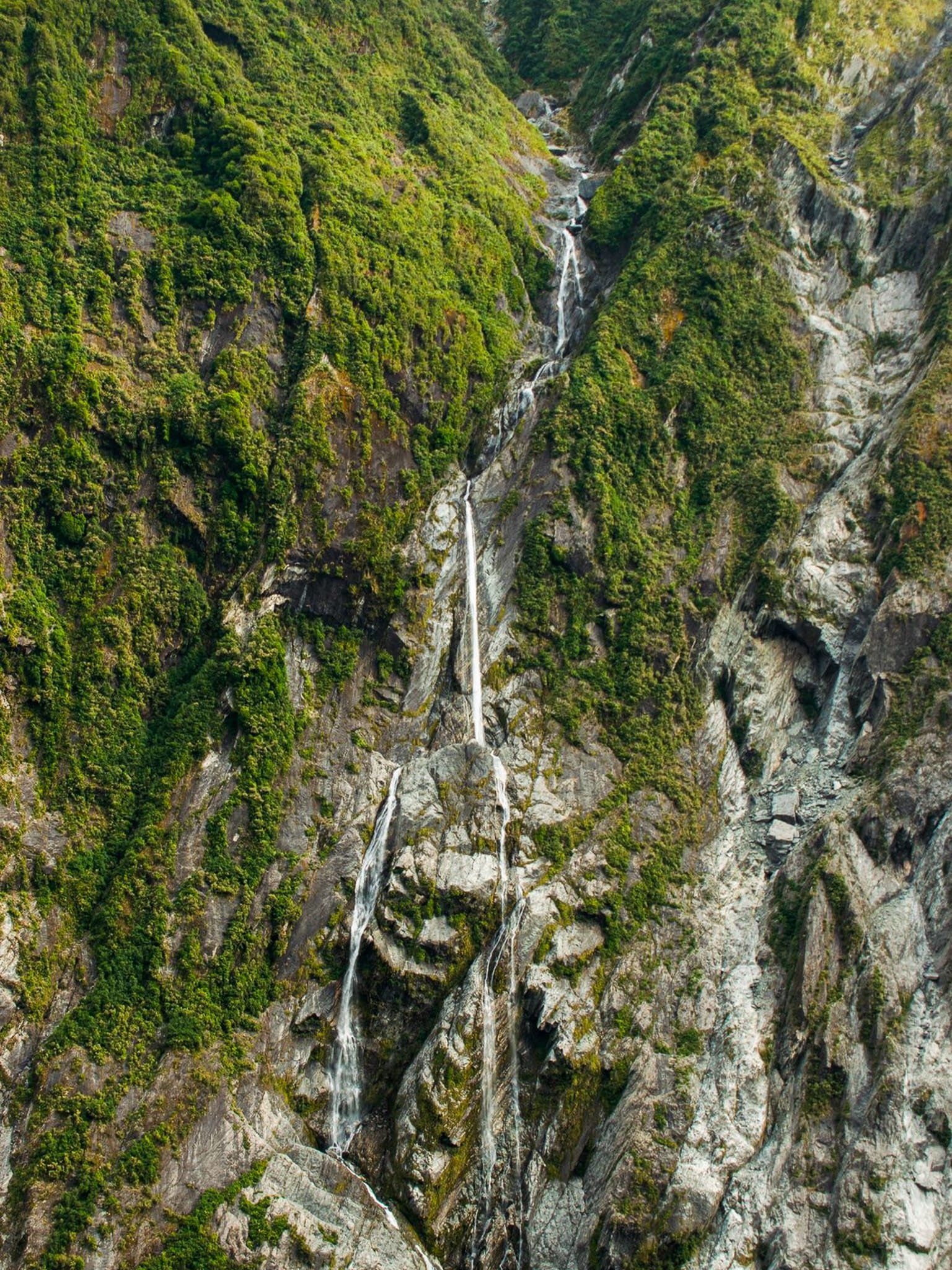
The track continues on through more open scrub with one section along a unique set of hanging stairs to negotiate a cliff face. It is not as scary as it sounds! Then there is a fourth suspension bridge crossing Rope Creek and a final steep scramble up rocks and roots, followed by a relatively flatter section to Roberts Point. The point is 300 metres above the valley floor and the views include the Glacier, rock cliff faces, waterfalls and mountain peaks. As good as it gets!
Start from the Alex Knob Track car park and take the Douglas Walk for a few minutes to the Douglas Bridge. Or start from the main car park at the end of the access road and follow the Douglas Walk past Peters Pool to the bridge, This adds 20 minutes to the hike. The total return distance from the Alex Knob car park is 11 km and the total vertical climb is 300 metres.Thanks to Georgia (@the_cornishpixie) and Jan Rozen for the photos.
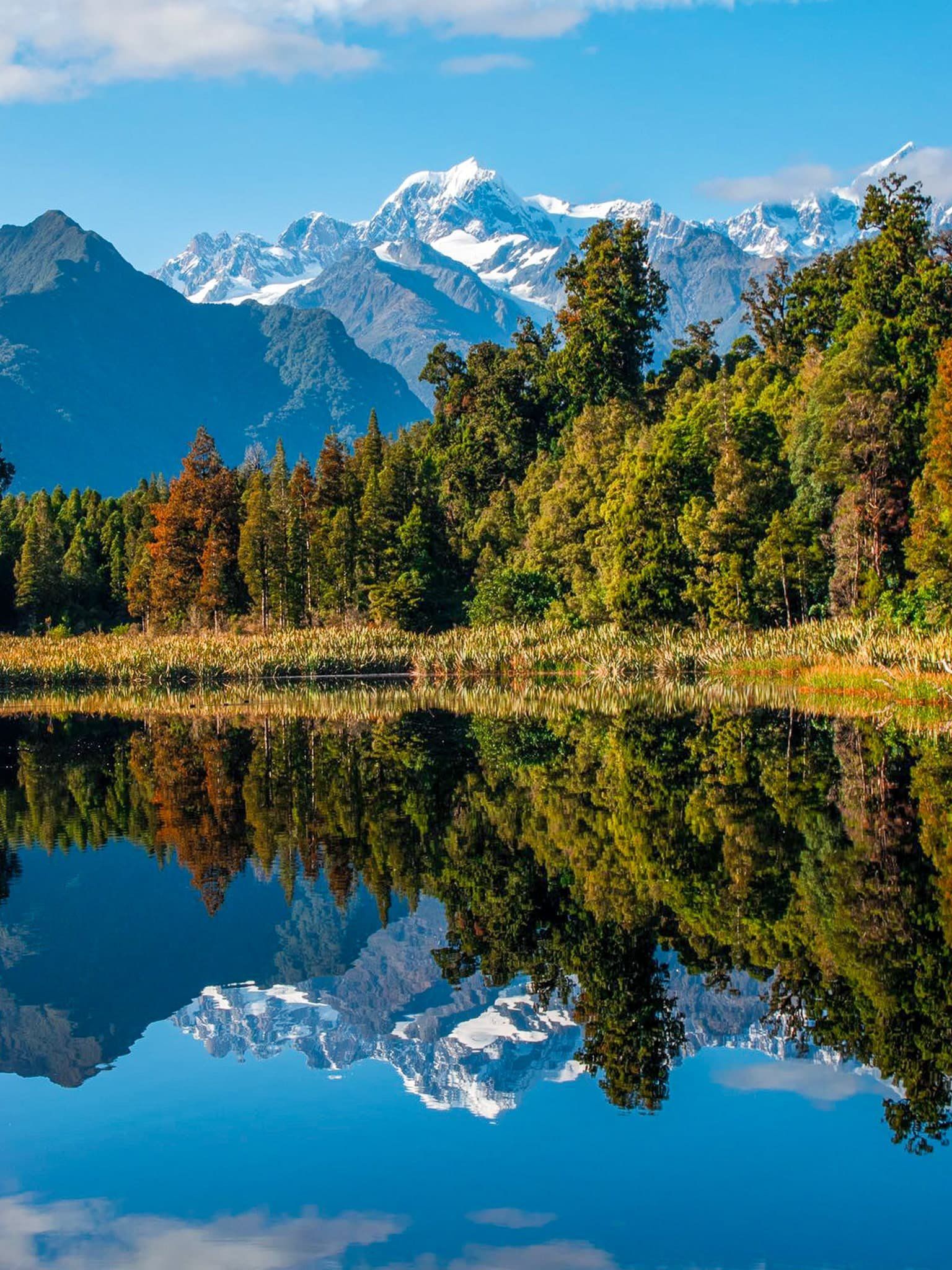
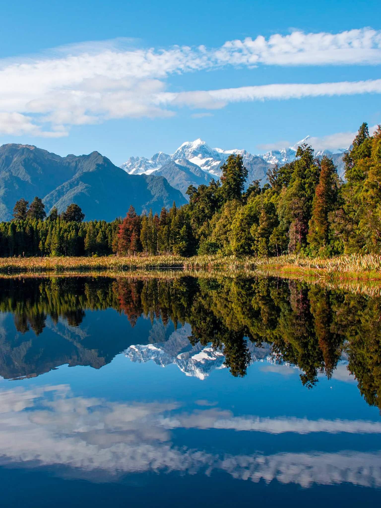
Lake Matheson
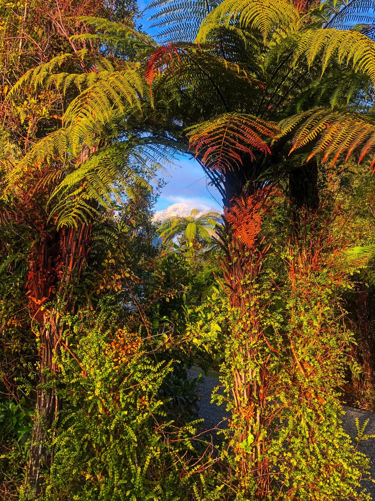
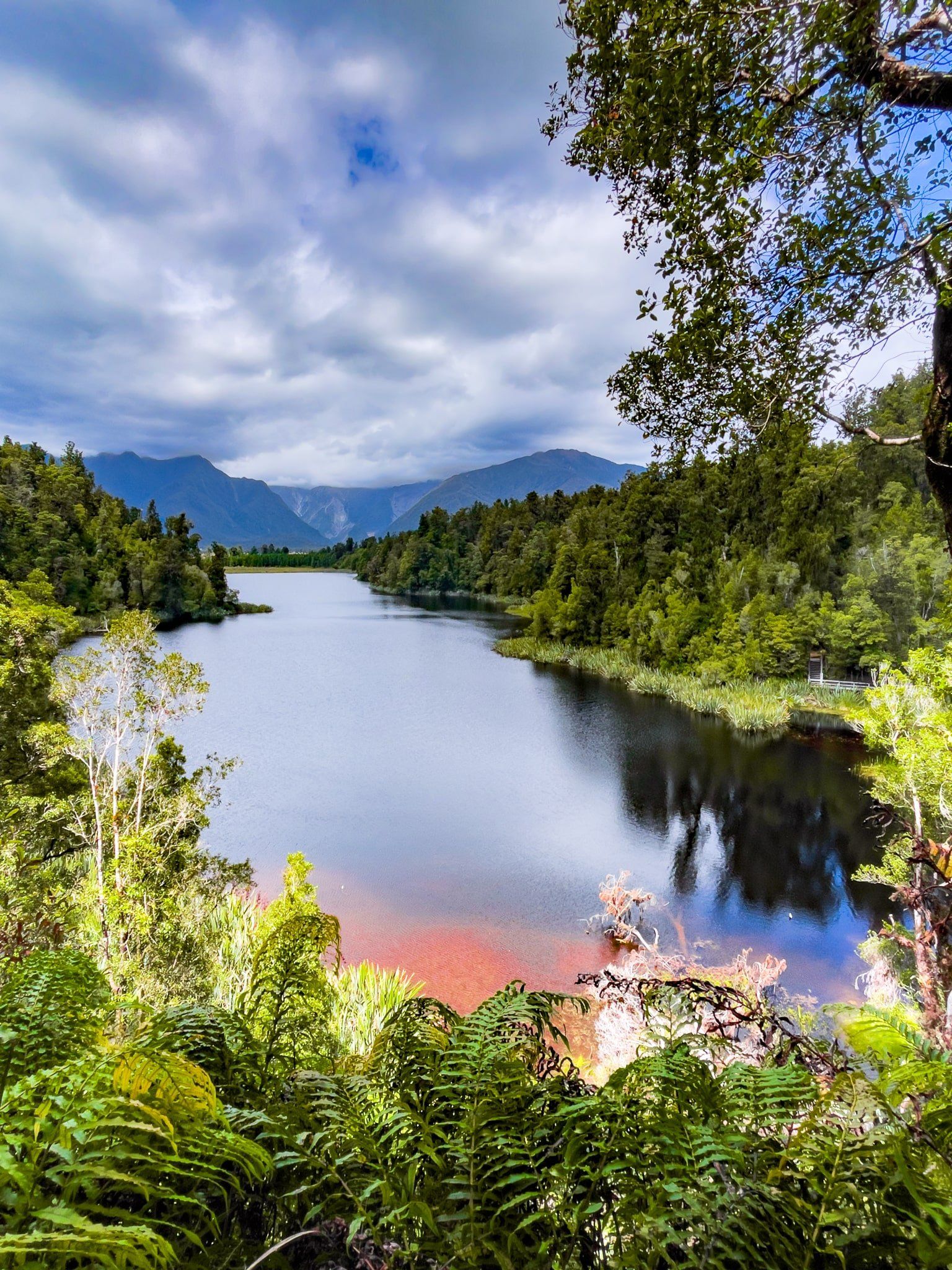
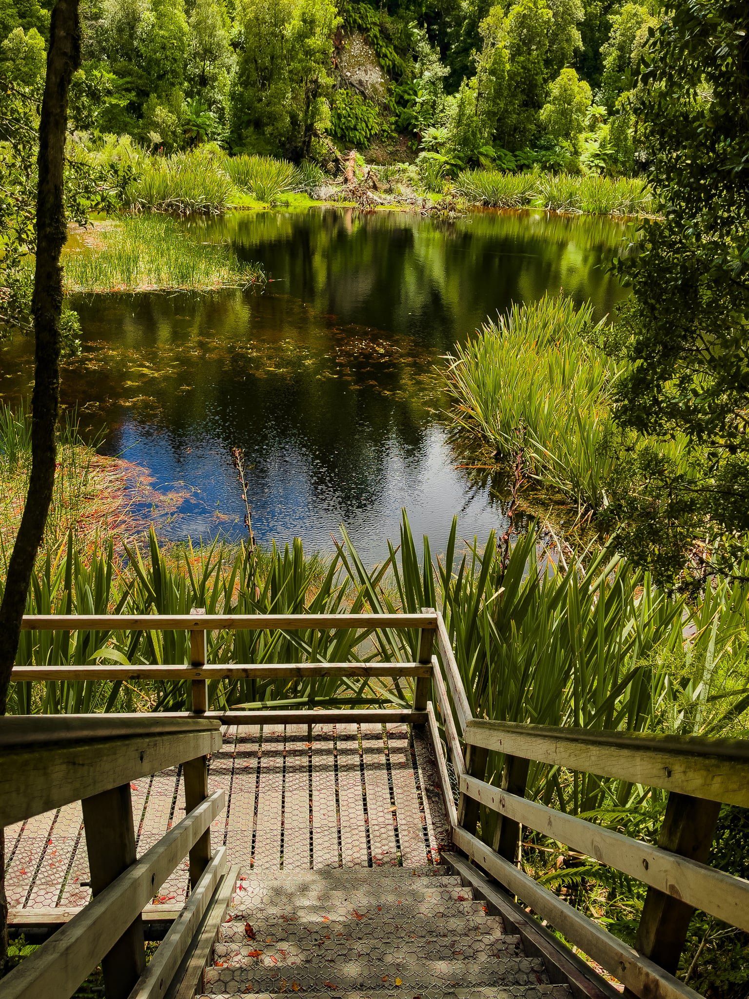
Lake Matheson is a small lake between Fox Glacier township and the Westland coast. It is a very popular destination for travellers exploring Westland due to its easy 90-minute loop walk, Te Ara Kairaumati, and highly reflective quality. The lake is fed by several streams that run through the surrounding forest. The plant tannins that leach into the lake darken it, which enhances reflectivity. On a fine day, reflections of the central region of the southern Alps, including Aoraki Mount Cook and Mount Tasman can be seen from several locations on the loop track around the lake. The lake is also surrounded by mature native forest, providing for a comfortable mostly sheltered walk in most weather conditions.
Due to its popularity, there is a large parking area, an excellent visitor centre and a good cafe at the start of the track. The walk initially crosses a suspension bridge over the Clearwater River and then runs alongside farmland for about 600 metres to the south end of the lake. Take the southwest side into the forest. dominated by kahikatea and rimu trees. Not long after this, Jetty Viewpoint is reached. This is the first opportunity for reflections of the central Southern Alps on a clear day. The path to the jetty is also suitable for wheelchairs.
From there continue around the lake, mostly in the forest, to a boardwalk through a small pretty wetland at the northern end of the lake. Immediately after the boardwalk is a short steep series of steps to the View of Views. This looks along the length of the lake towards the Alps. Heading along the northeast side there is a third major viewpoint at Reflection Island. This one has a lot more room and there is space to sit, have a snack and consider this stunning location.
Approaching the end of the loop, you will see the intersection with the Lake Gault Track. This adds five and a half km, a 300 metre climb and about two and a half hours to the walk. If you want to walk to Lake Gault, it is quicker to avoid the loop around Lake Matheson, but you will miss the viewpoints.
To get to Lake Matheson, turn onto Cook Flat Road from Weheka / Fox Glacier township. After five km, turn onto the side road to Lake Matheson.
Thanks to Georgia (@the_cornishpixie) for the fabulous reflection shots.
Want more West Coast South Island Trip Ideas?
Check out our blog series Return to the Rugged West Coast: South Westland, Ship Creek, and Moeraki to Bruce Bay.