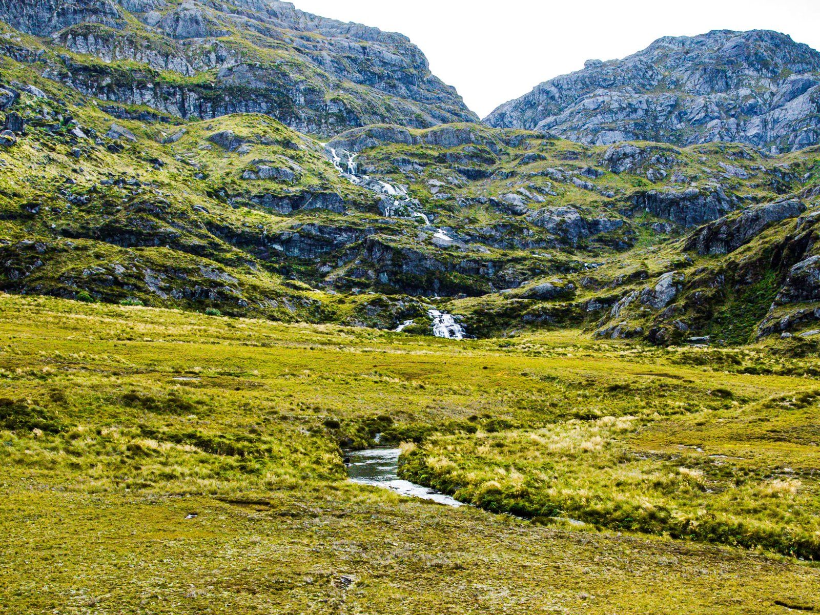
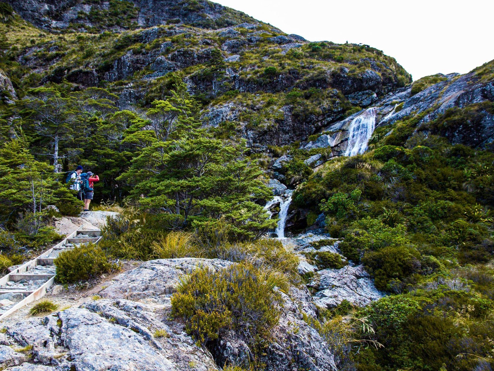
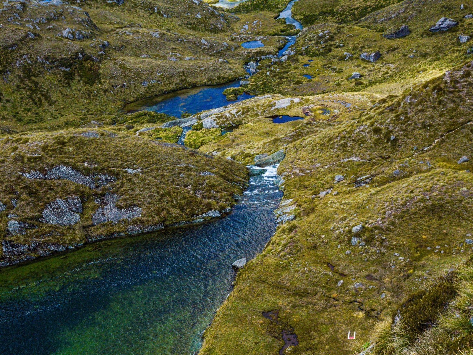
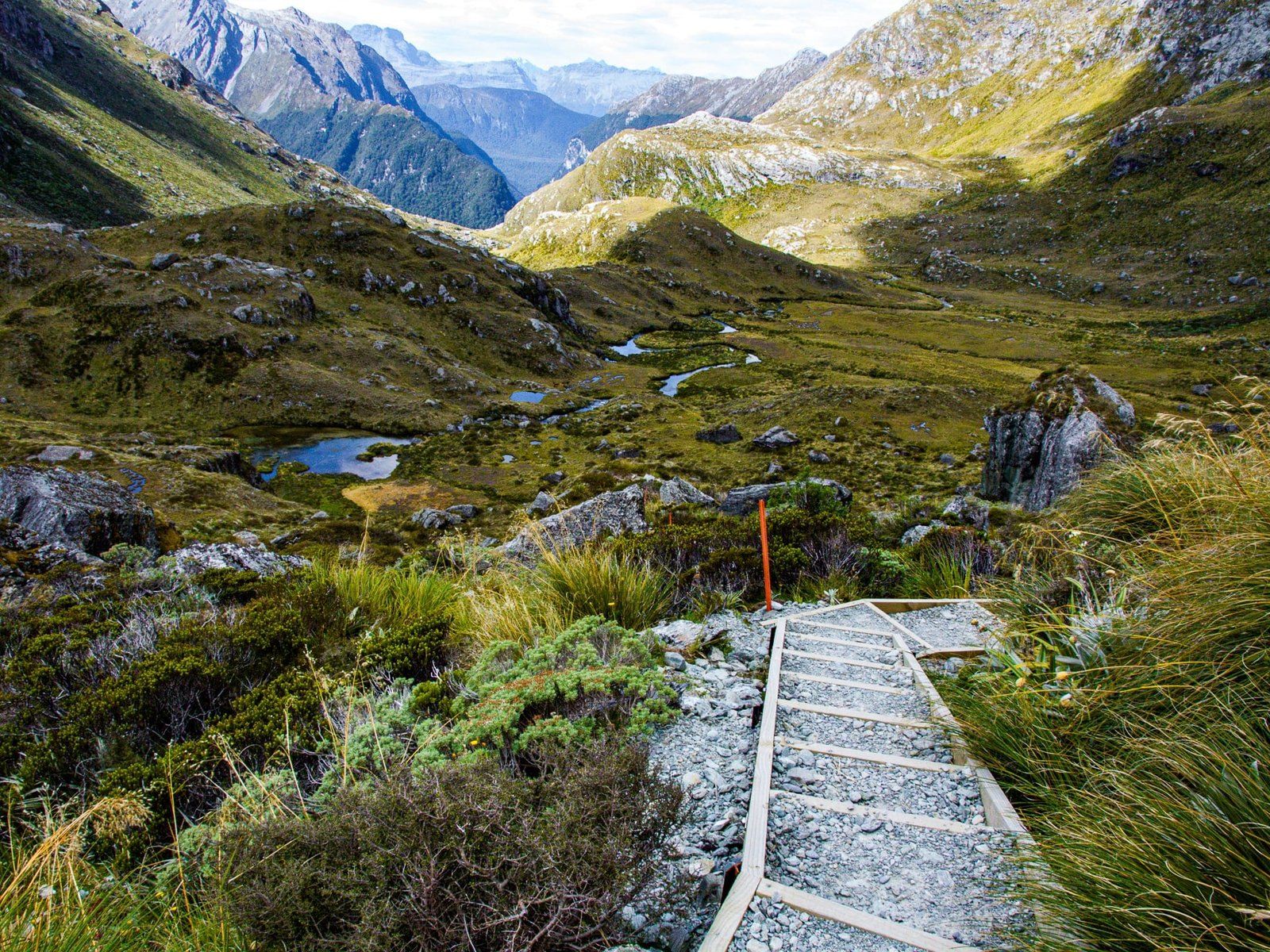
The Routeburn Track (along with the Milford Track) is probably the premier Great Walk. It is the one you will typically see in books with titles like “The 100 best walks in the World”. It is only a 32 km, two and a half day hike if you want to do the whole trip, and there is a glamping option (which is exceptional!). We even have friends who have run it in a day. But running aside, make sure you book accommodation in advance if you do want to do the whole trip. However, it can be difficult to book. Fortunately, you can still access some of the best sections with half-day to full-day options. In this blog, we look at options for day walks of the Great Walk.
From Te Anau, it is a one-hour drive along Milford Road to the Divide car park and the Routeburn westside track entrance. From there, it is a three hour return hike to Key Summit. It’s continuously uphill but not too tough and the views and “alpine garden” are magical at the top. For a day trip, continue on to Lake Howden and even Earland Falls before turning around.
If you access the Routeburn from the Glenorchy/Lake Wakatipu end, there is a six-hour return walk to Falls Hut. The first, mostly flat, part of the walk takes you to the Flats Hut and campsite, about two hours. From there it is a 40-minute hike up to Routeburn Falls. If you have the time and energy, continue on towards Lake Harris and the Harris Saddle (an hour each way). Try not to get too distracted by the scenery and allow plenty of time to get back!
Even in summer, be aware of the risk of changeable weather, especially if going all the way to Harris Saddle.
Key Summit
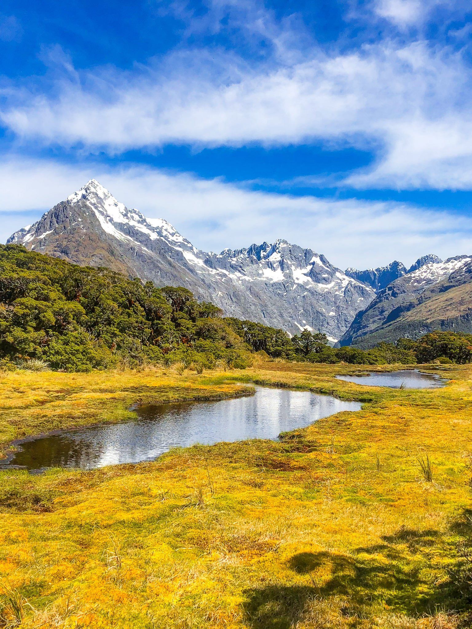
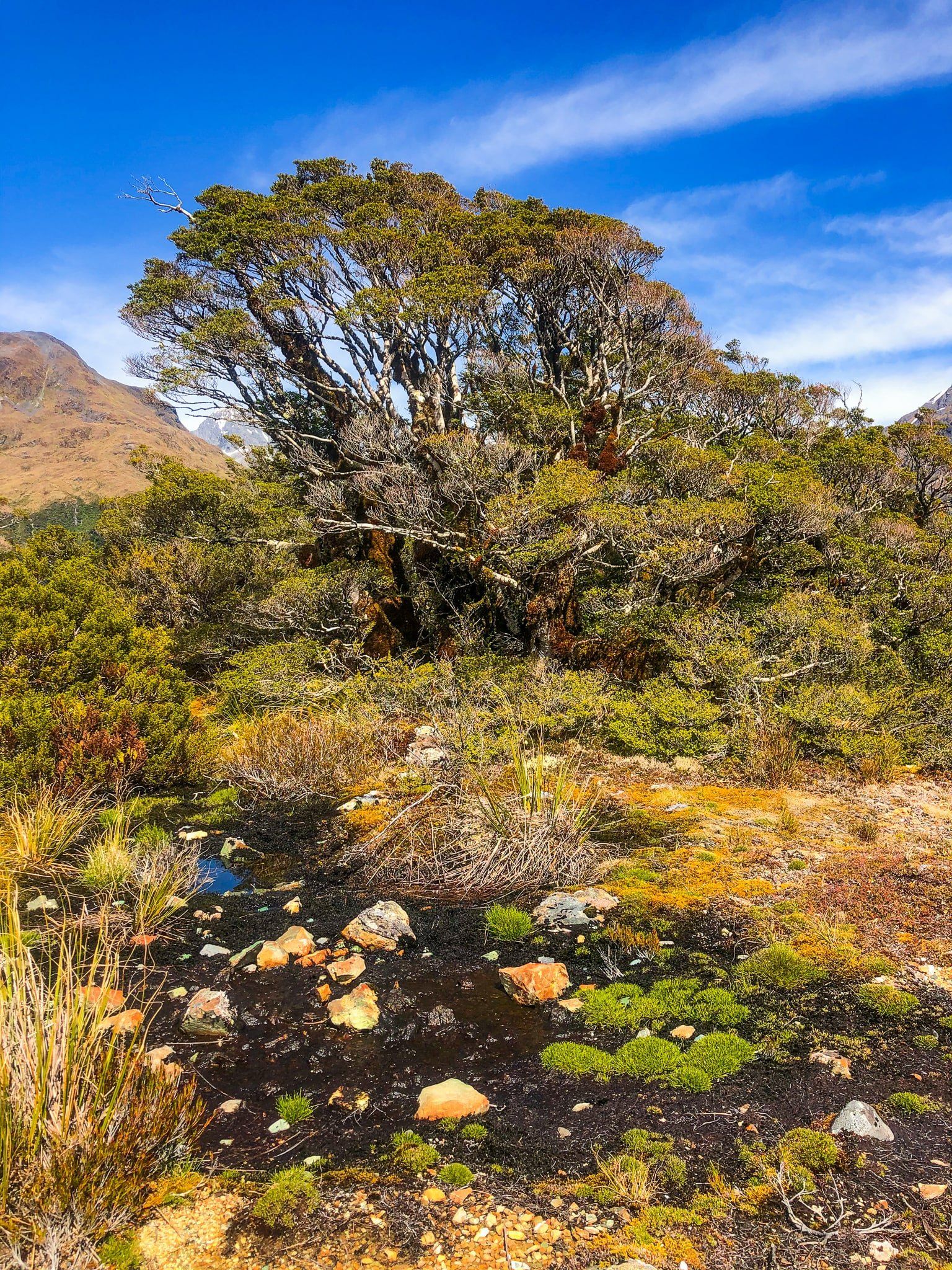
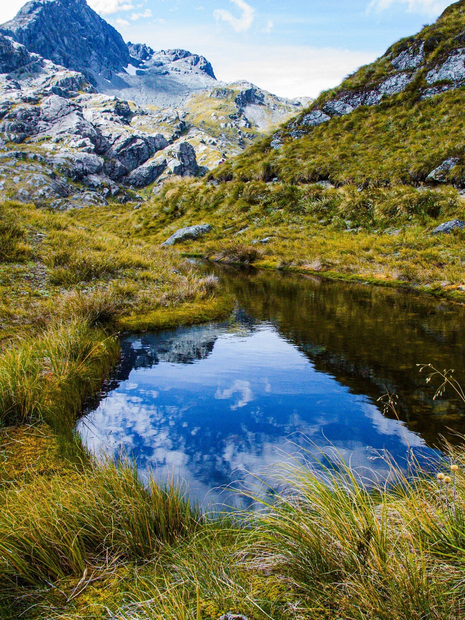
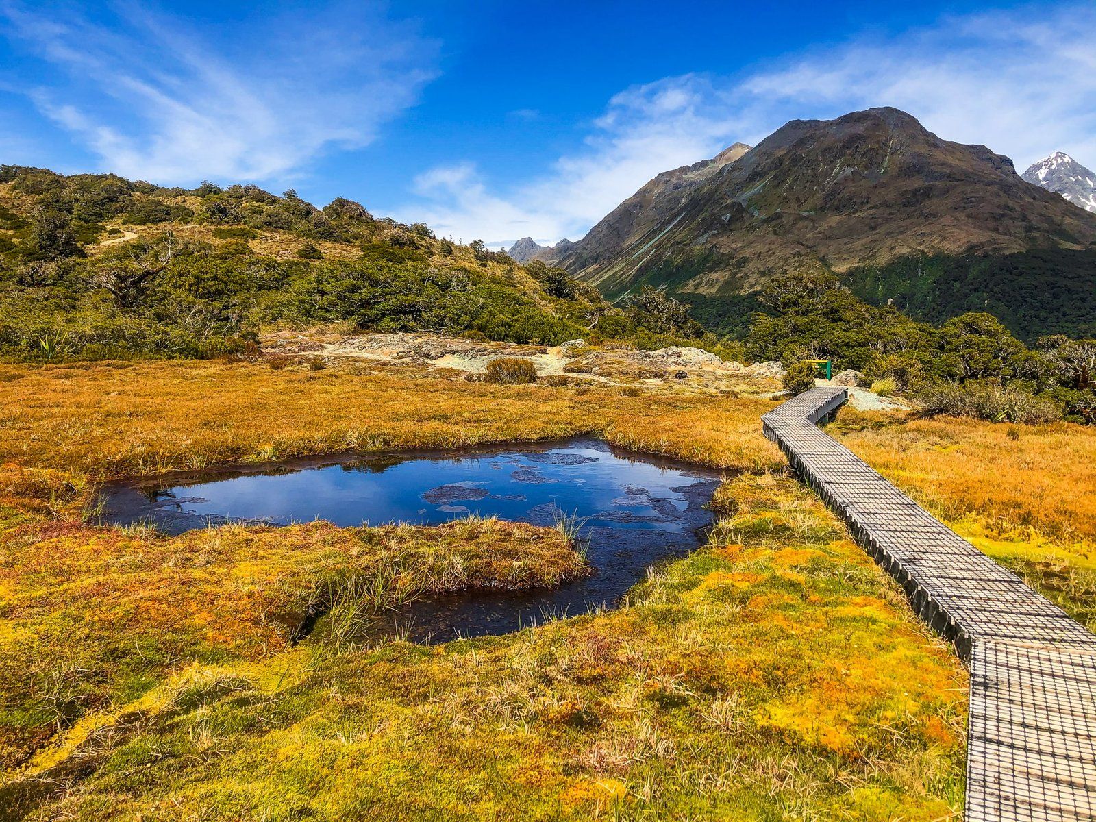
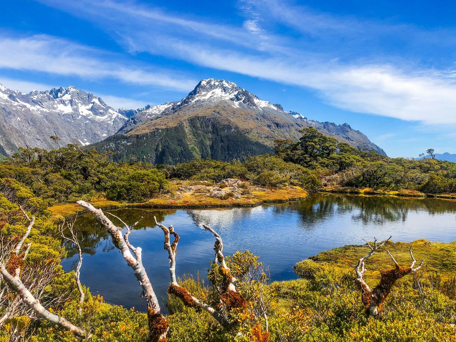
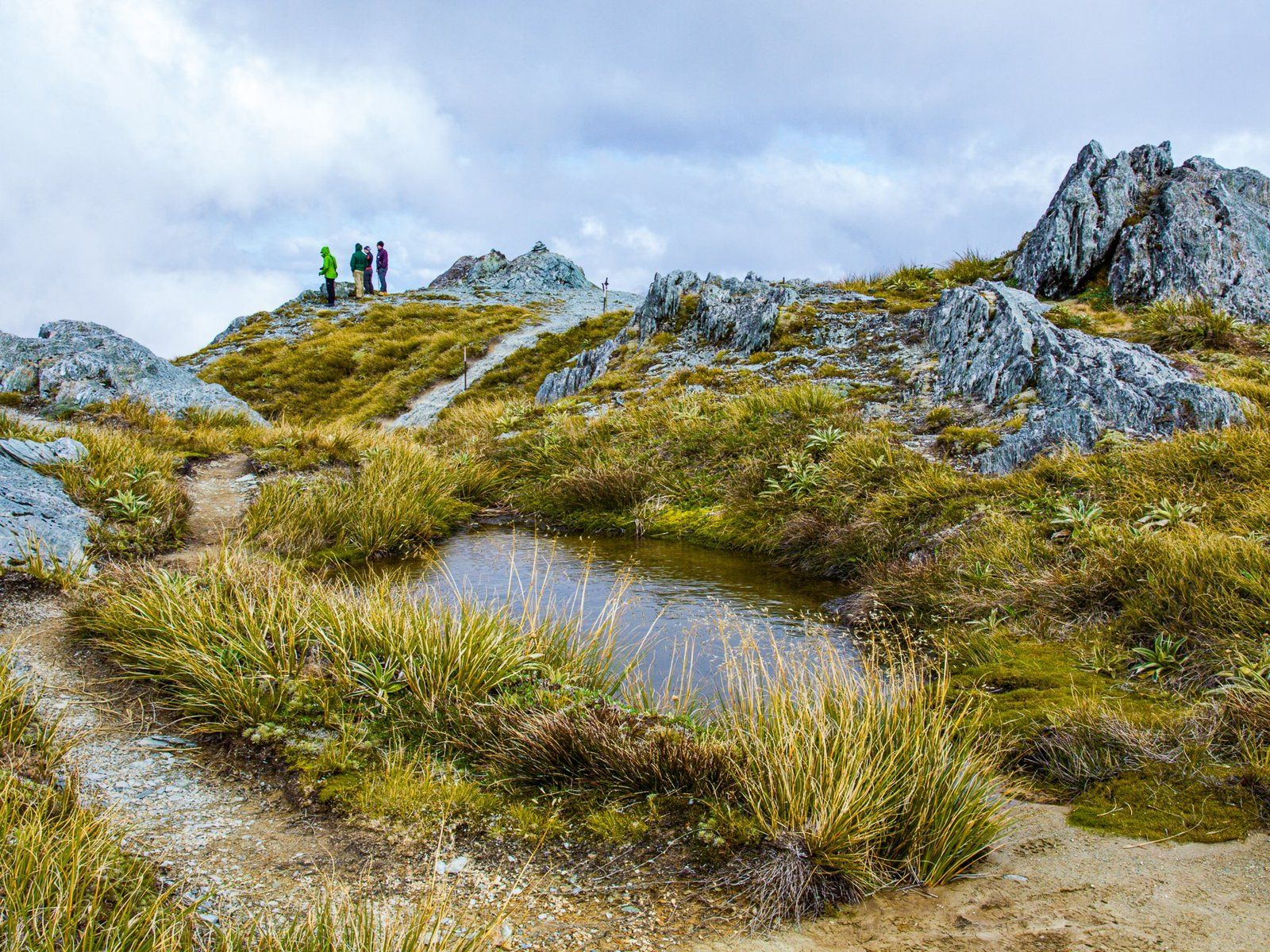
Key Summit is on the west side of the Routeburn Track. It is a fabulous walk with majestic views and a beautiful natural alpine garden with a wetland and tarn at the high point. It is also easy to do as a day trip from The Divide car park on Milford Road, hence particularly popular.
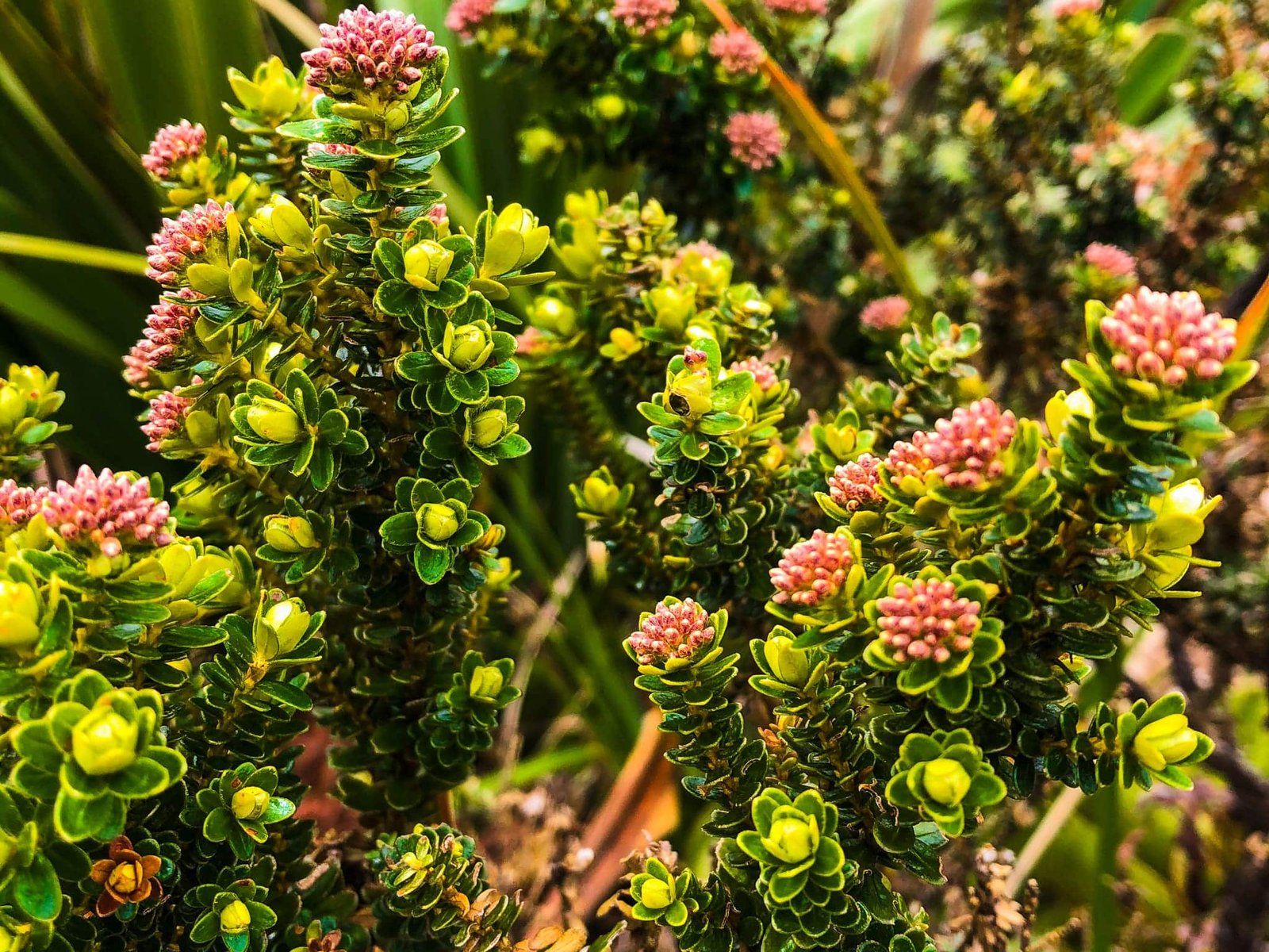
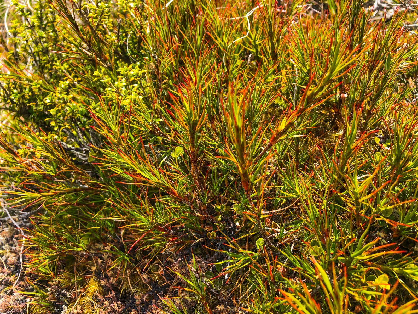
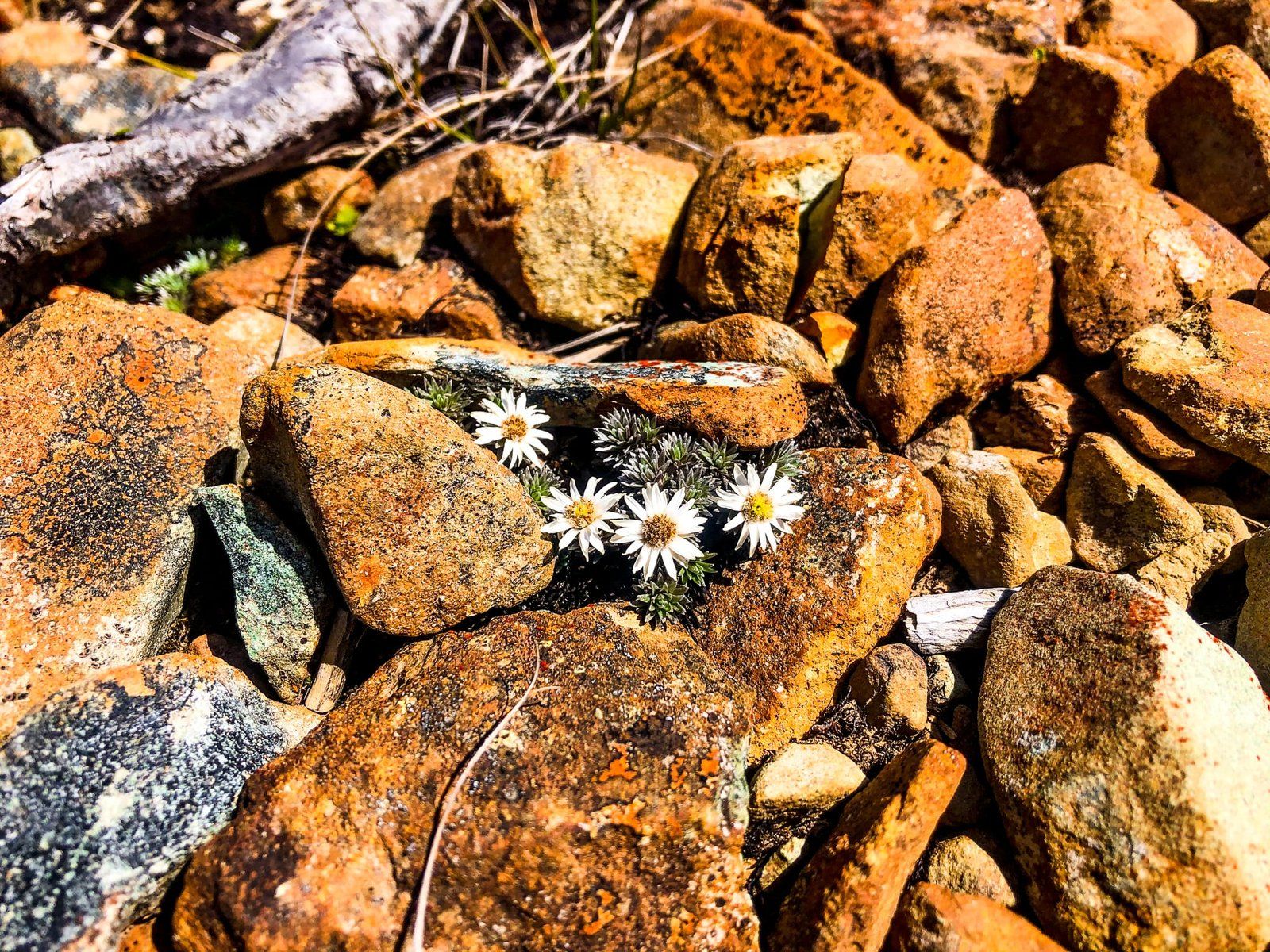
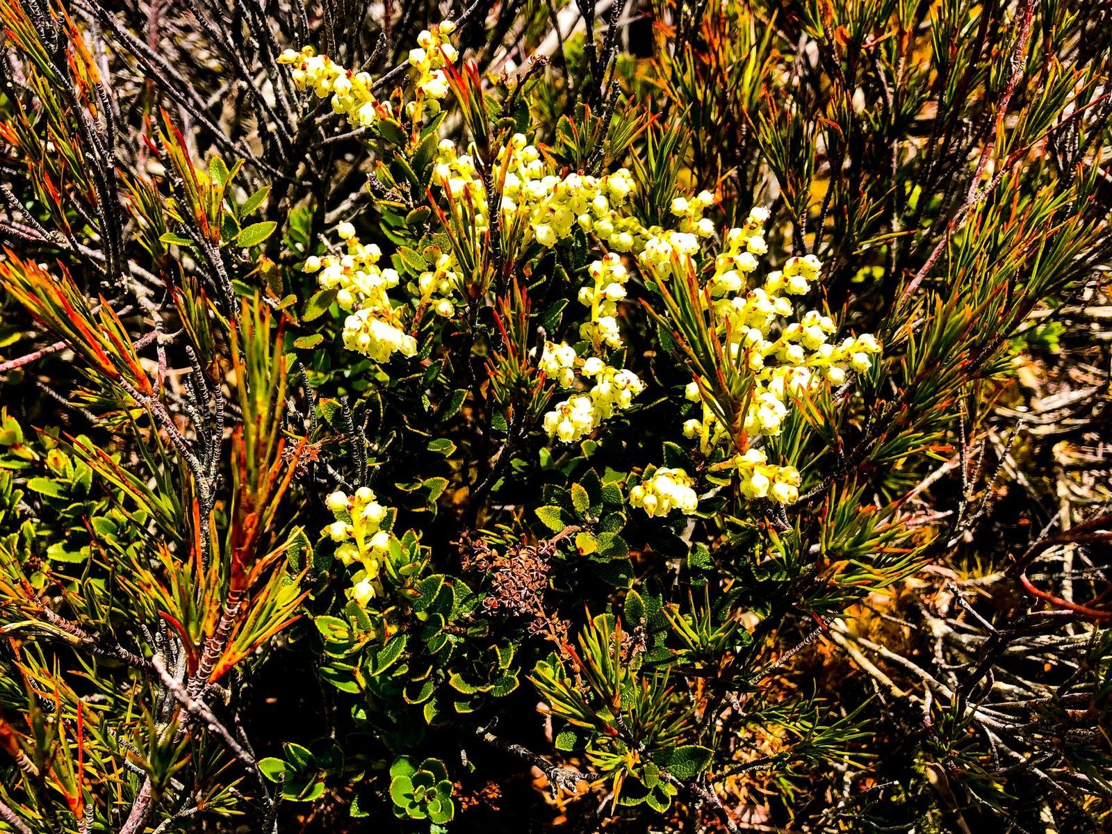
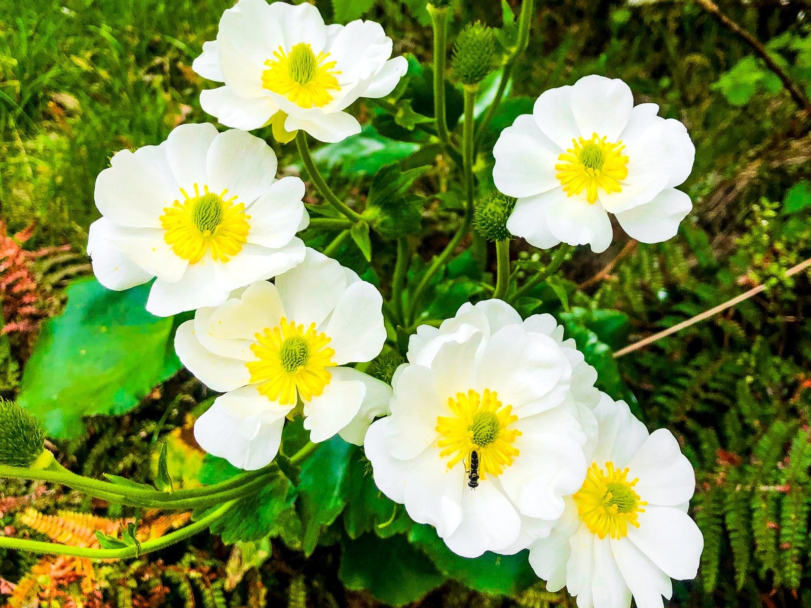
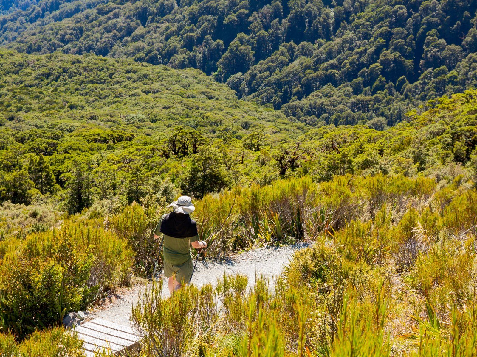
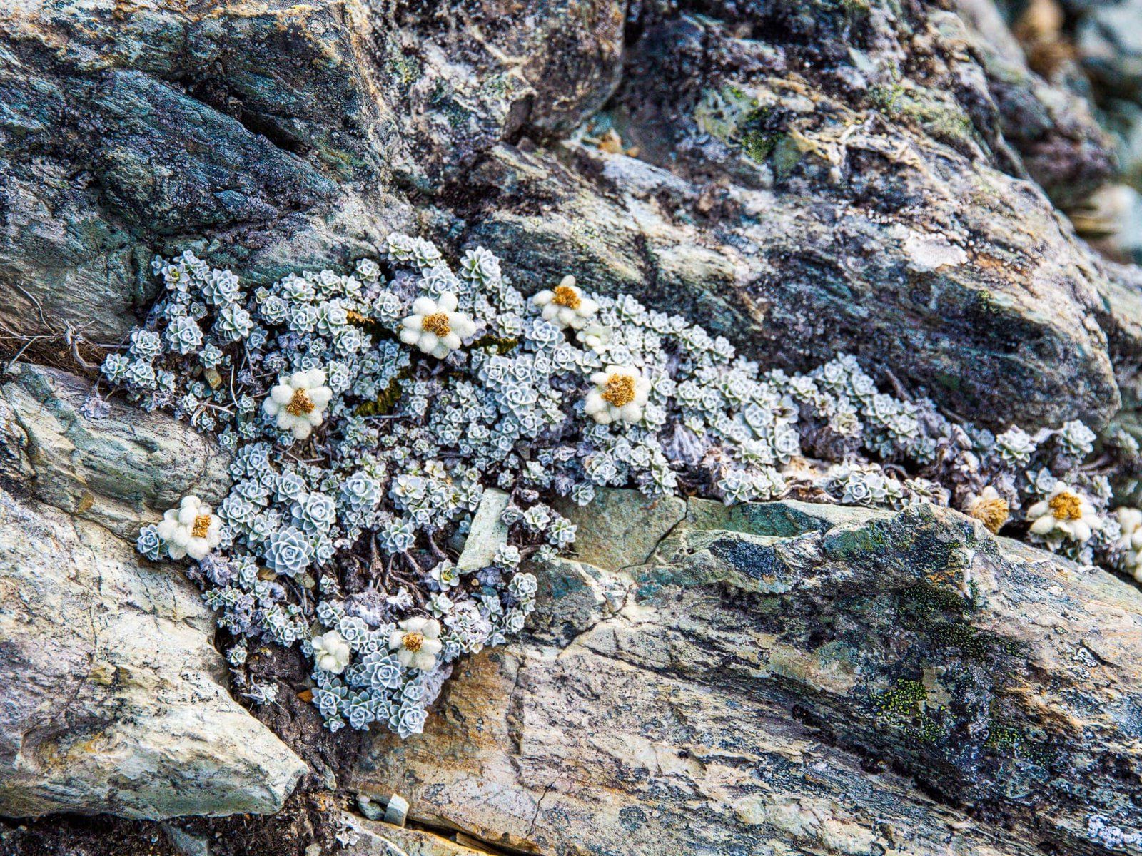
Starting at 600 metres, the Routeburn Track winds through forest around a north-facing point for about two kilometres to peak at about 800 metres. From there it is another 120 metre climb over a km or so through open land to Key Summit at the top of the point. The track is excellent and it only takes a little over an hour each way. At the top, there is a short loop track and boardwalk around the wetland and tarn with an array of native shrubs and wildflowers. This includes giant Mount Cook buttercups and various native daisies.
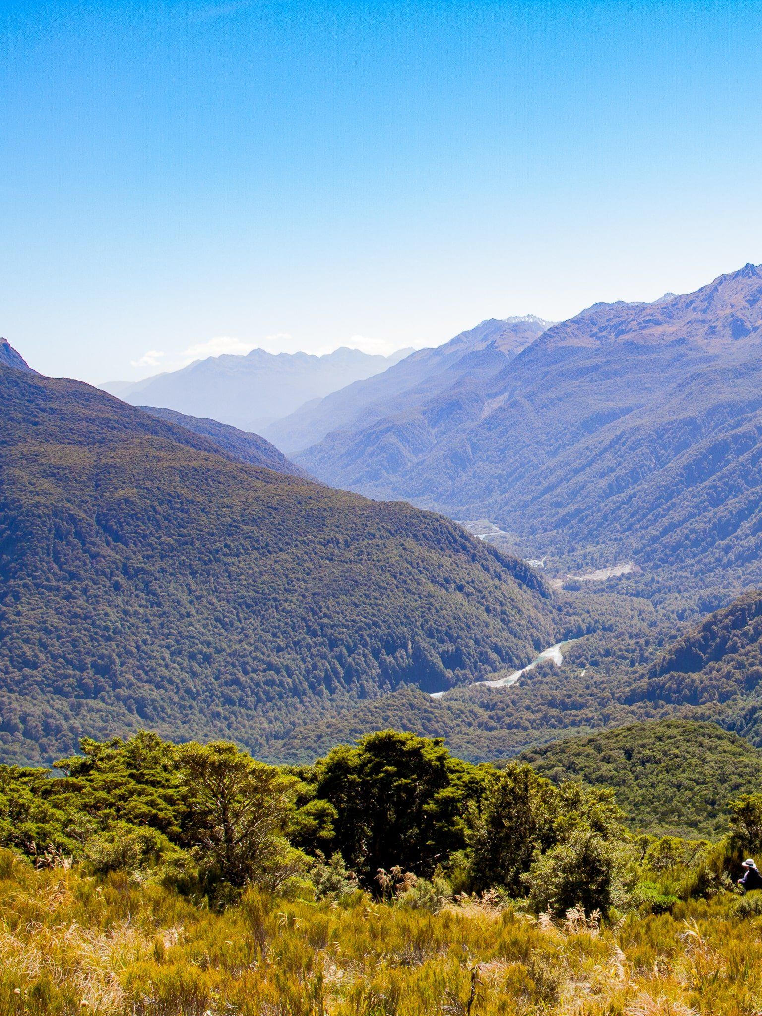
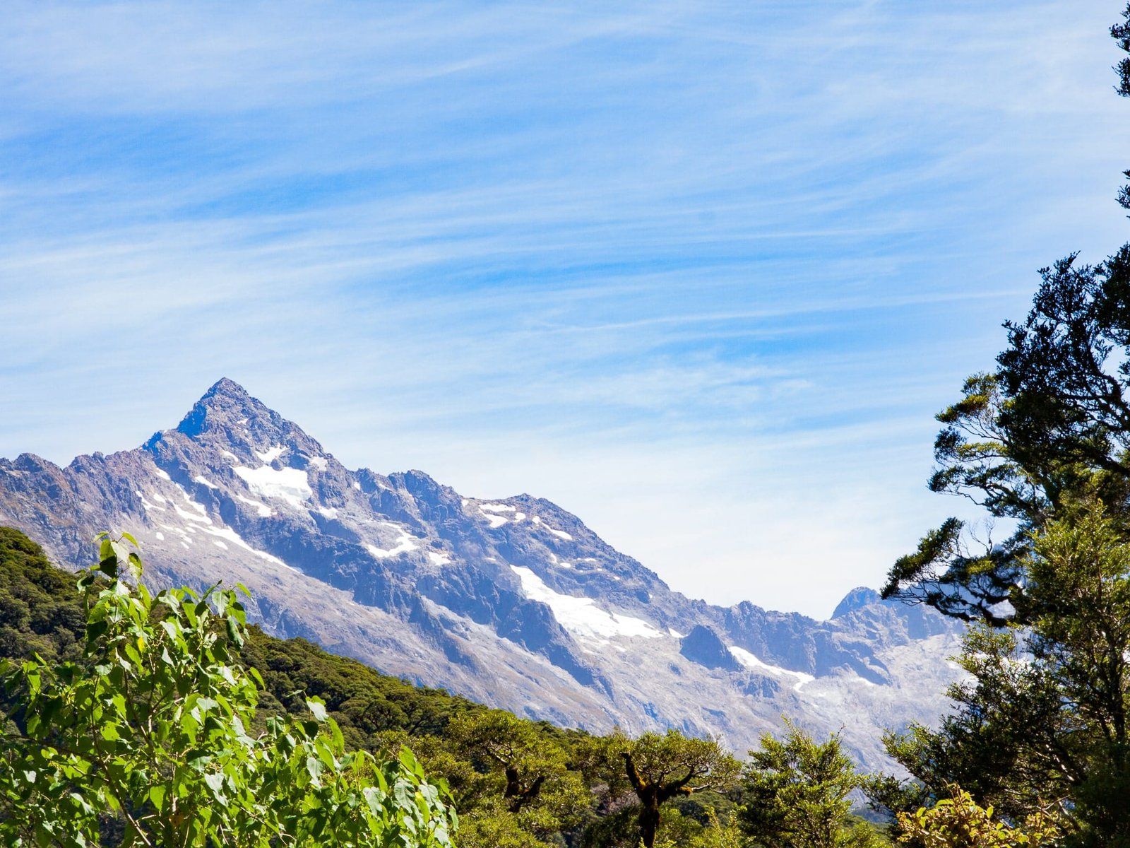
The view is 360 degrees. The Ailsa Mountains are immediately to the east and the larger Humboldt Mountains are to the northeast. The Darran Mountains are to the west/northwest, including Mount Tutoko at 2723 metres. The Hollyford Valley bisects these ranges to the north. Immediately to the south is the Livingstone Mountains, on the east side of the Eglinton Valley. There are few places in Aotearoa that provide such an exceptional experience for a relatively modest effort.
In planning the walk, keep in mind it takes an hour to drive to The Divide from Te Anau. As it is an alpine environment, be weather aware and prepared for sudden changes.
Earland Falls
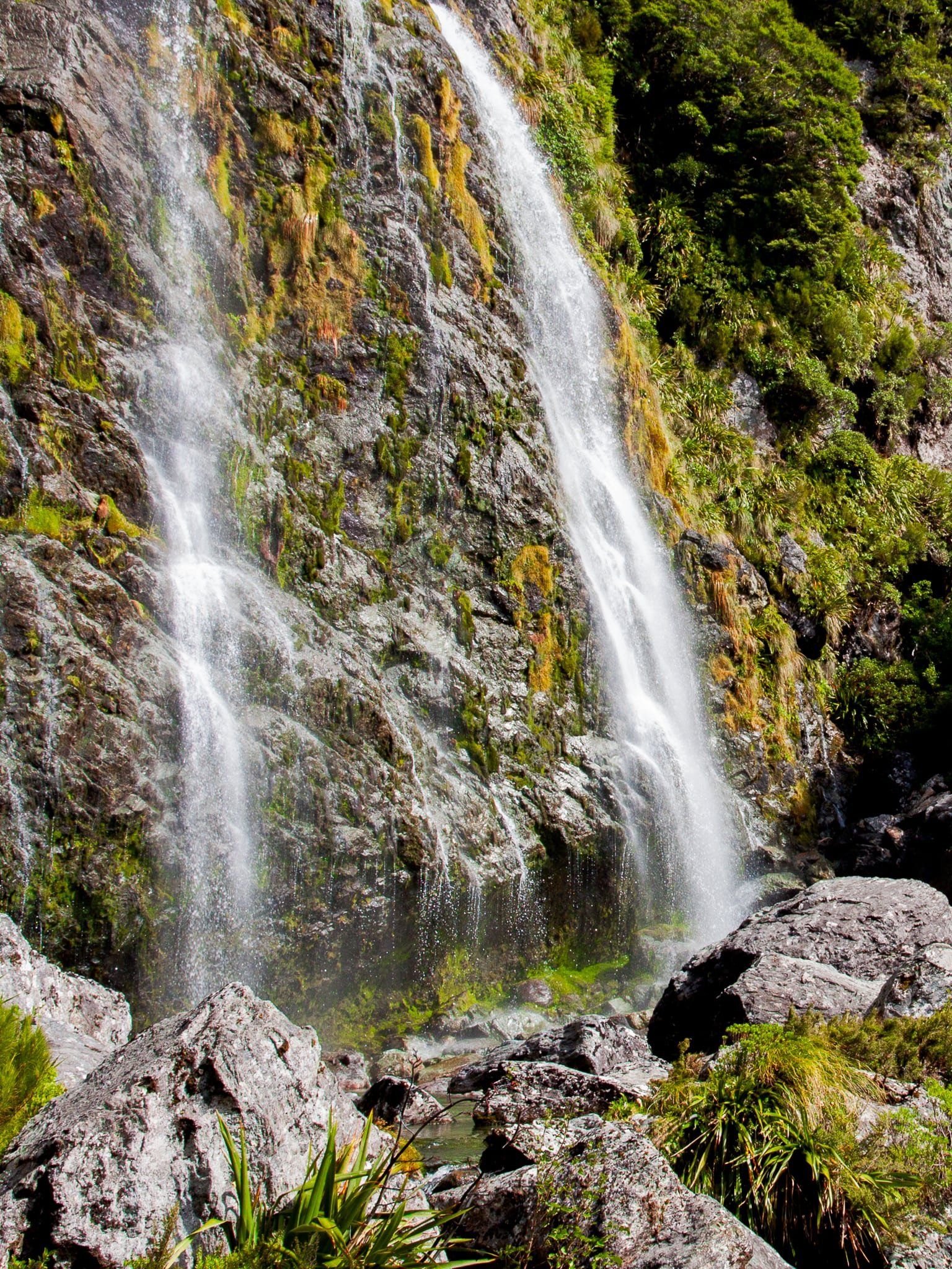
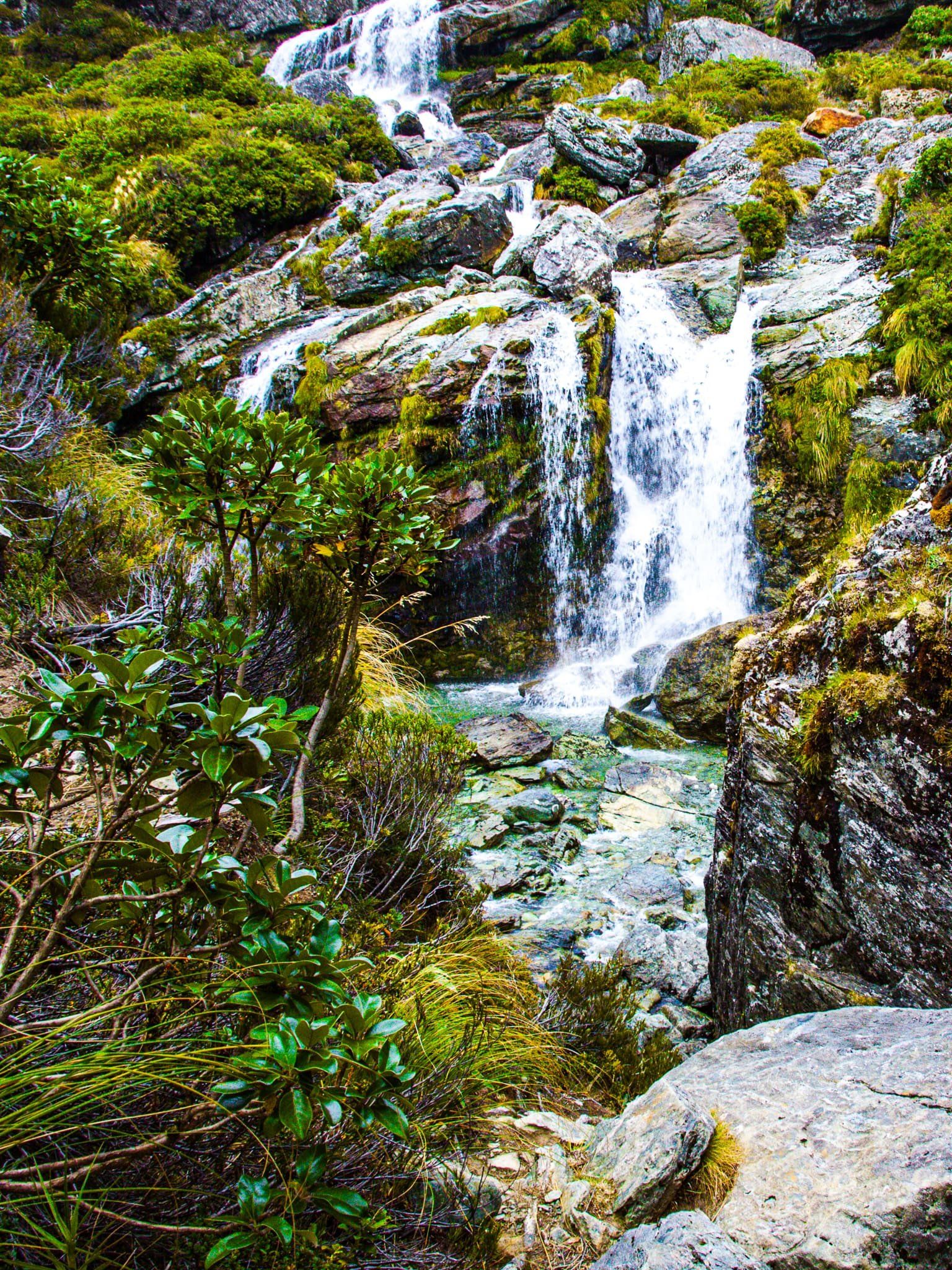
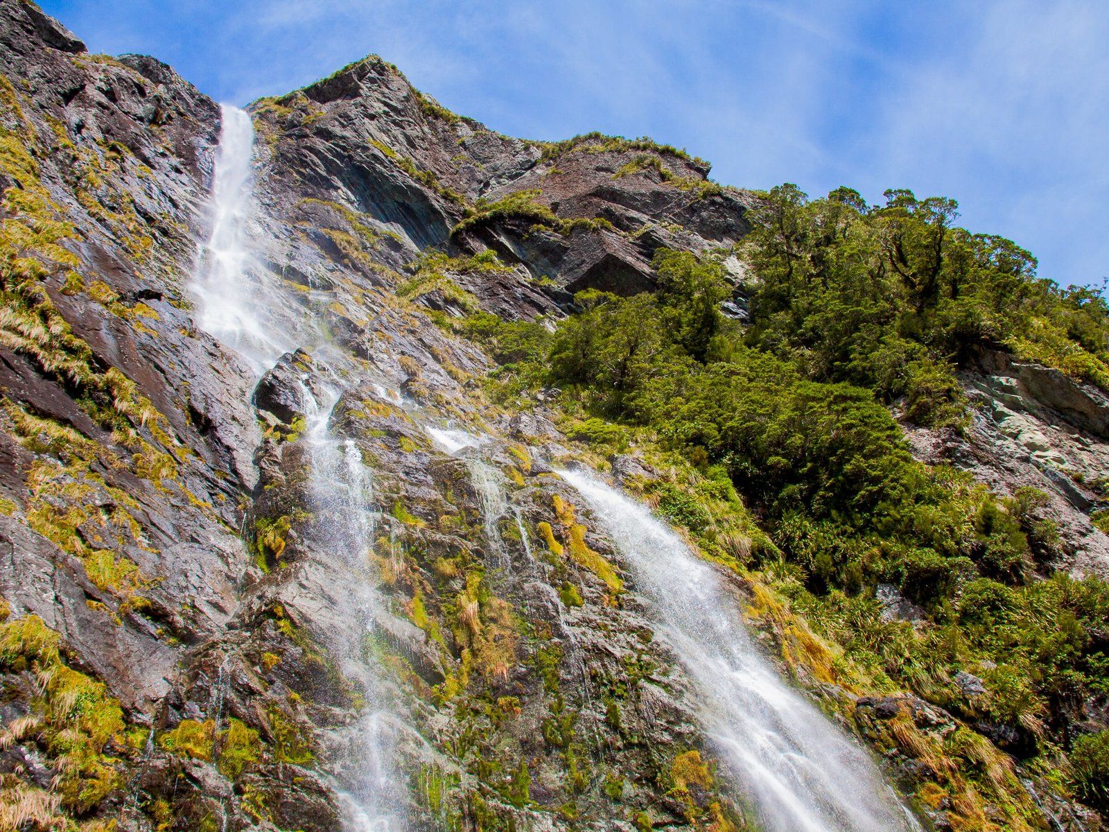
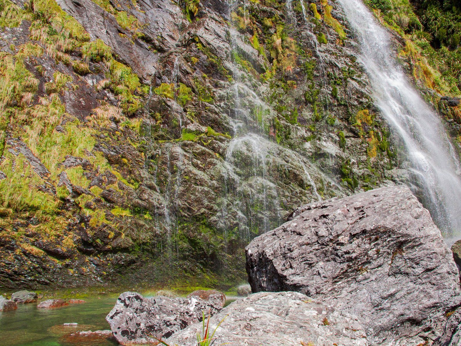
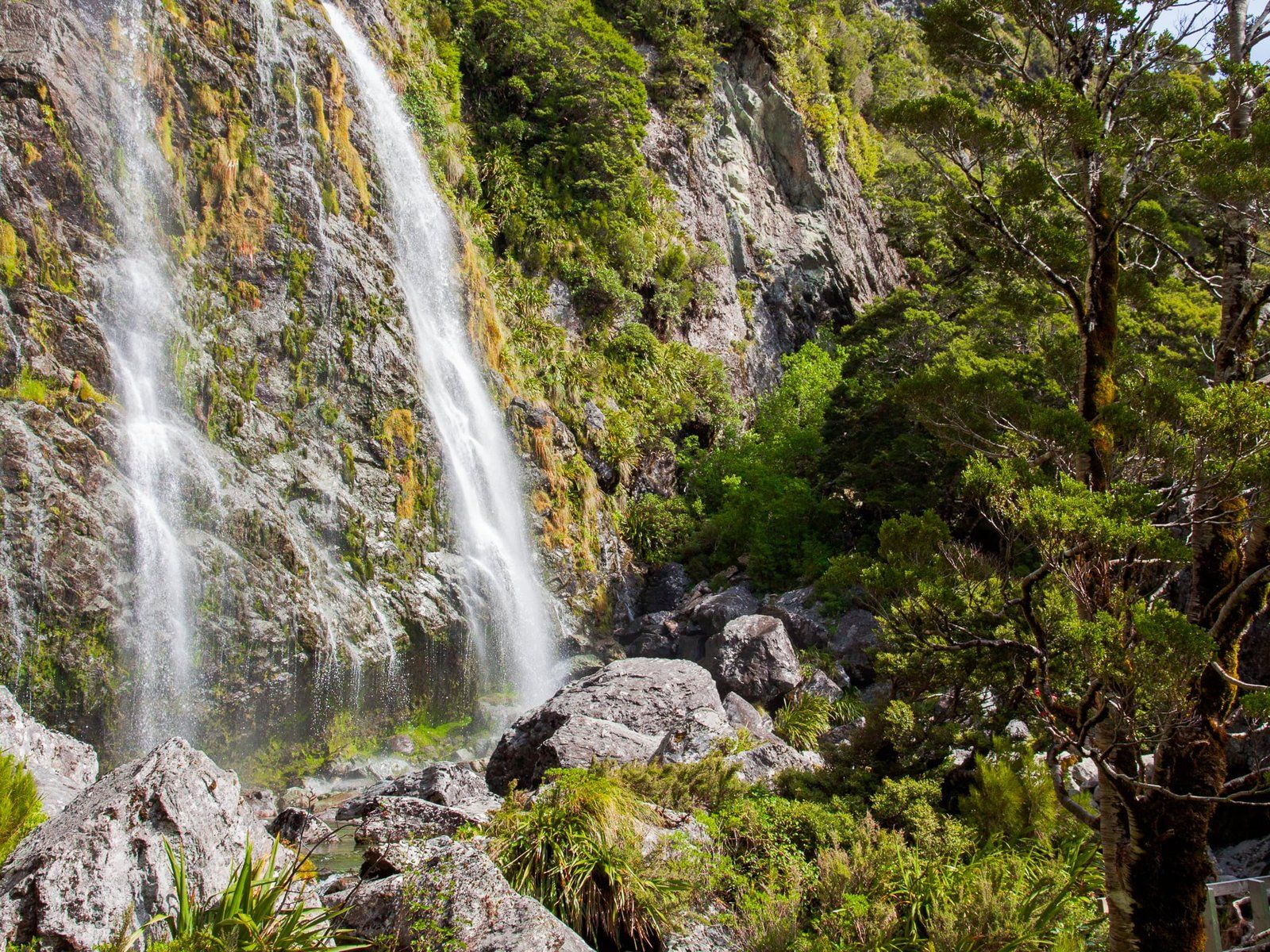
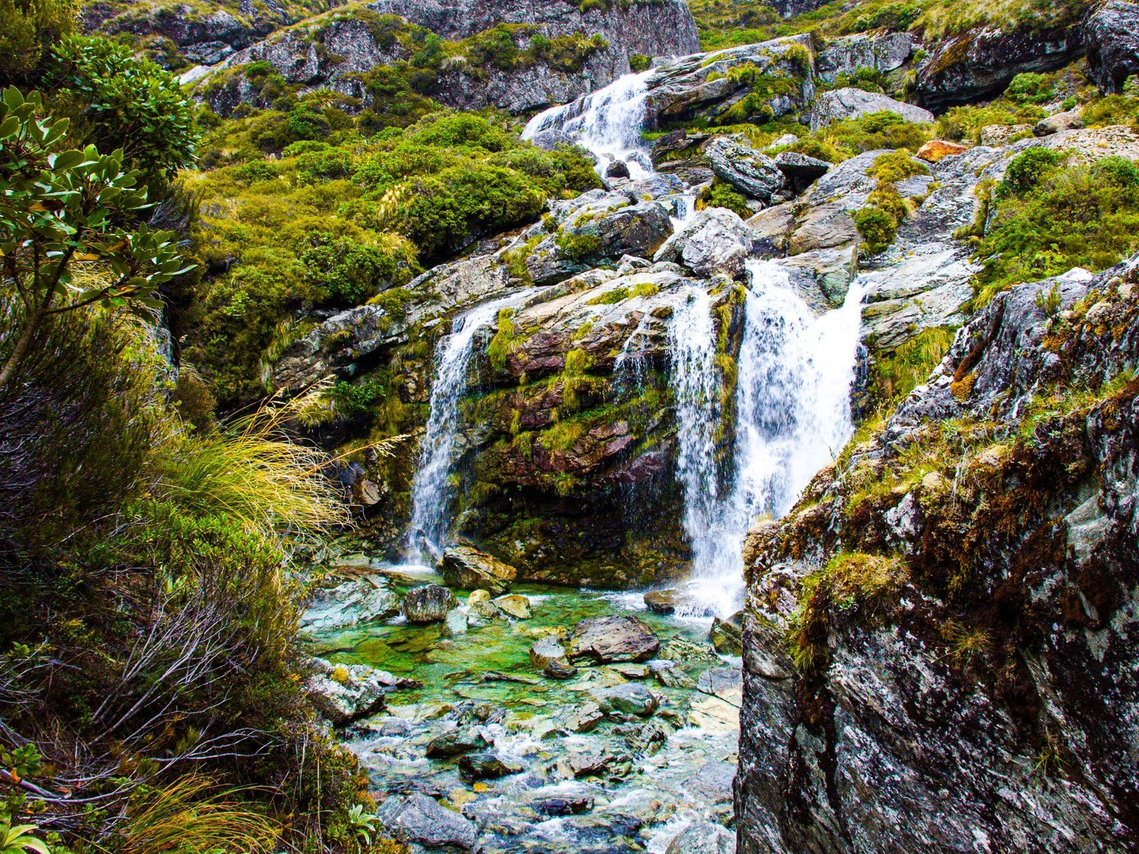
The Earland Falls can be reached as a day walk from The Divide on the Routeburn Track. The waterfall is one of the highest in New Zealand at 174 metres, although the top can’t be seen from the track due to its concave shape. The walk to the Falls takes about three hours (seven and a half km). If you are starting from Te Anau, it is a full-day trip after adding an hour to drive each way.
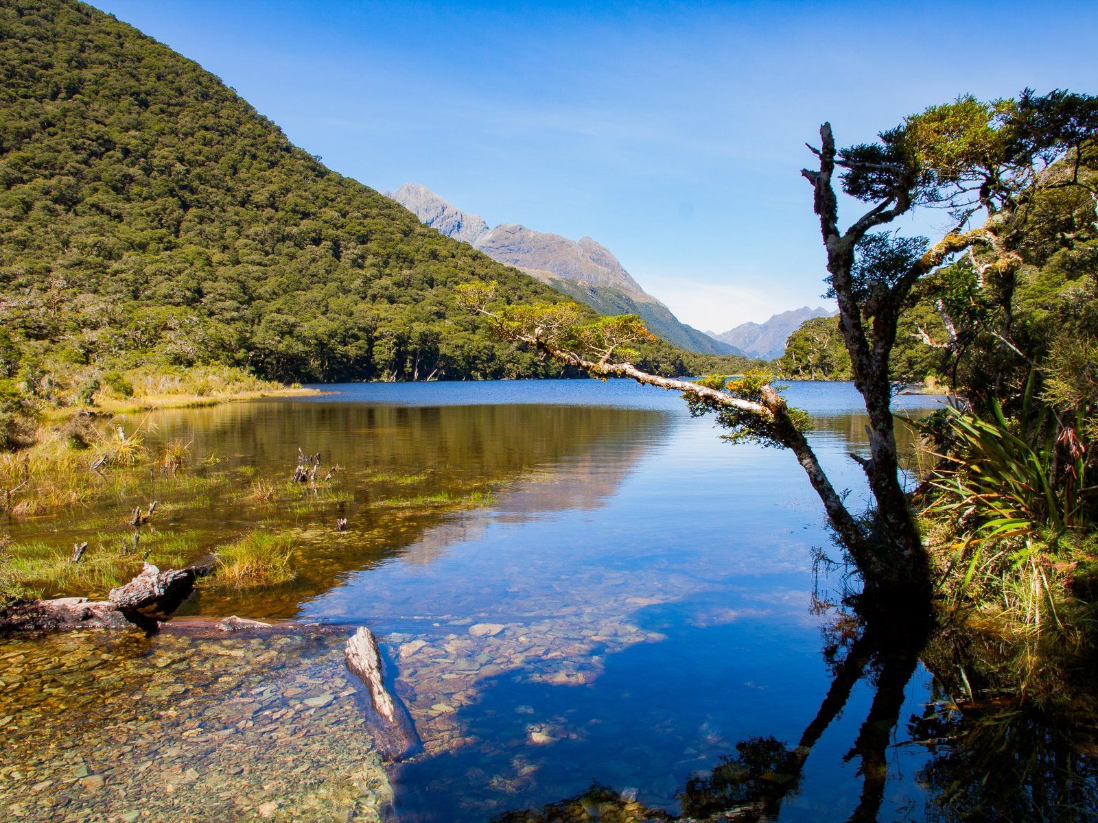
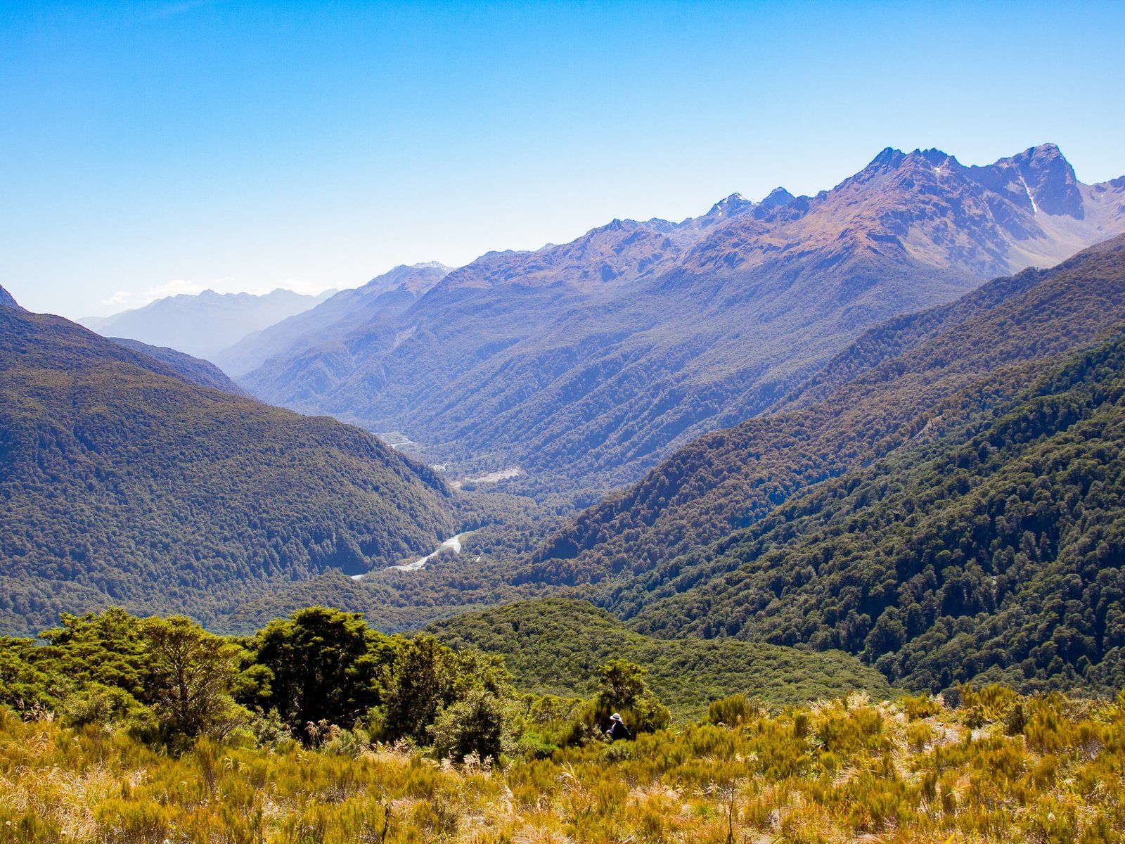
From The Divide, the track climbs about 200 metres through forest to 800 metres and the intersection with the Key Summit side trip. Key Summit is highly recommended but adds about 40 minutes return to the walk. After this, it is a short easy downhill walk to pretty Lake Howden at 700 metres, then a gradual climb along the side of the Ailsa Mountains to the Falls at 1000 metres. The views over the Hollyford Valley to the Darran Mountains are a superb distraction. At the Falls, there is plenty of room for a picnic and a pool at the base for a dip.
As a day walk, this is best done in stable weather as safe access to the Falls is weather-dependent. As it is an alpine environment, be weather aware and prepared for sudden changes.
Routeburn Falls
Routeburn Falls is typically an overnight stay on the Routeburn Track. The walk starts at Routeburn Shelter at the end of Routeburn Road. It is exceptional and can be done in about three hours each way, making it feasible as a day walk. To access the track, consider staying overnight at Kinloch or Glenorchy on Lake Wakatipu to minimise pre-walk travel time.
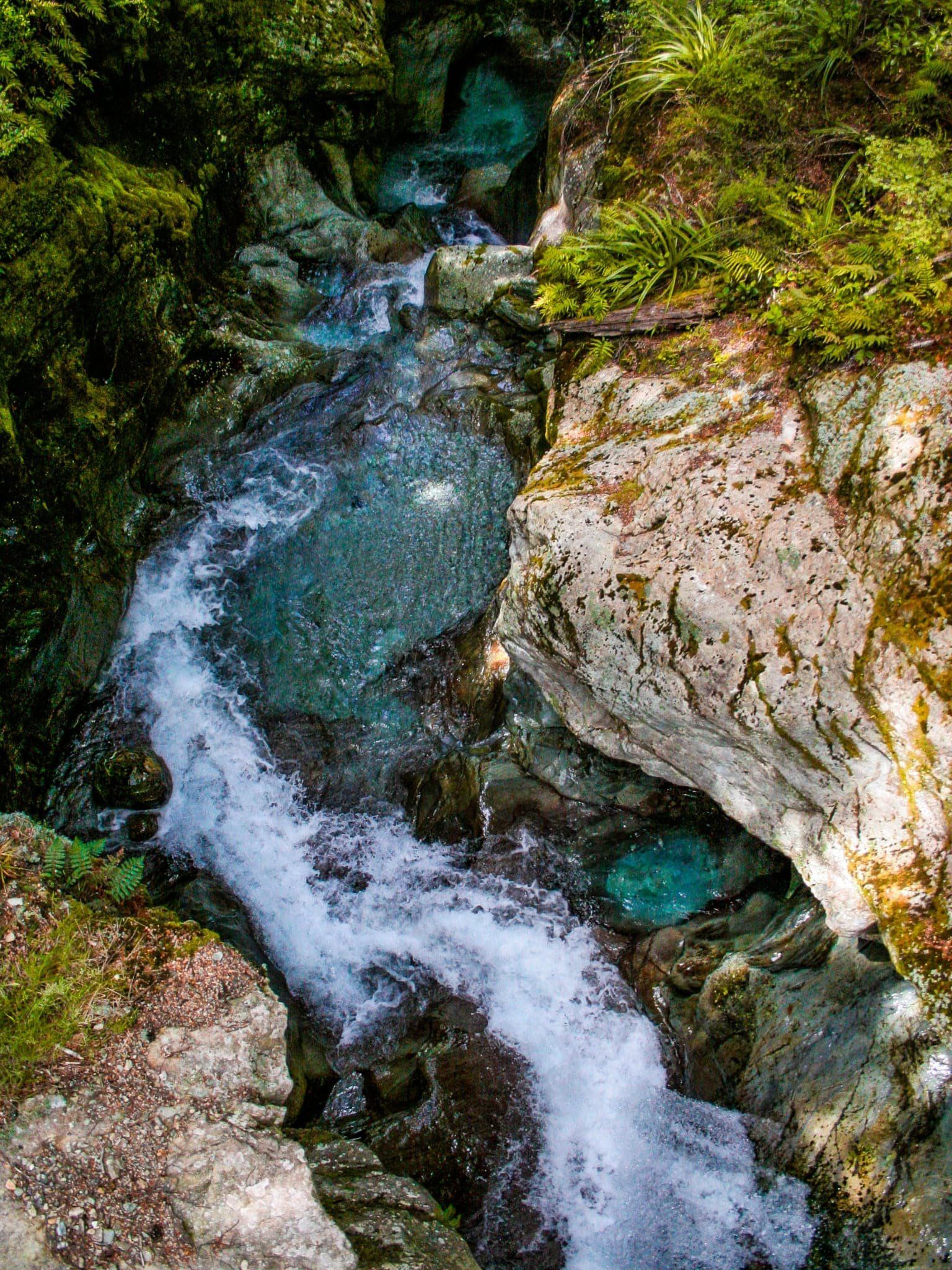
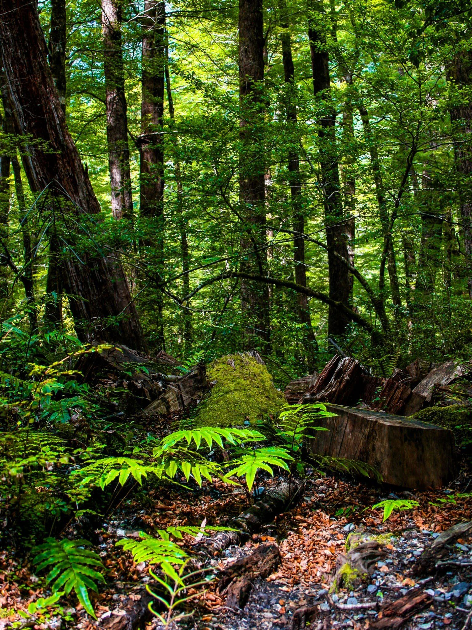
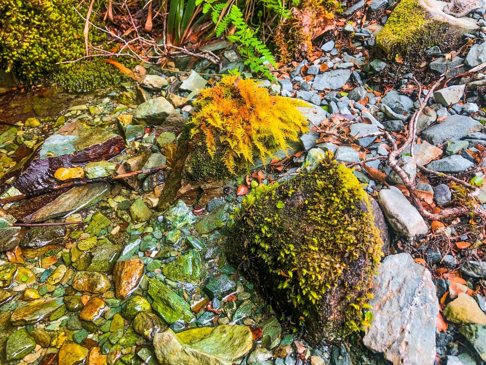
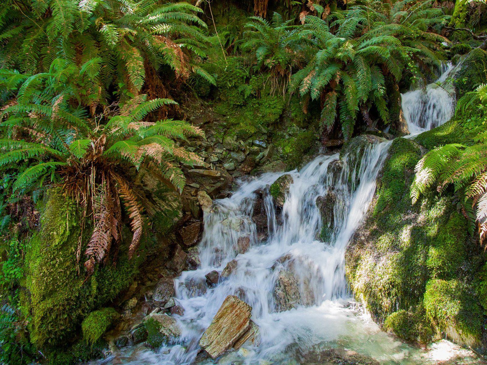
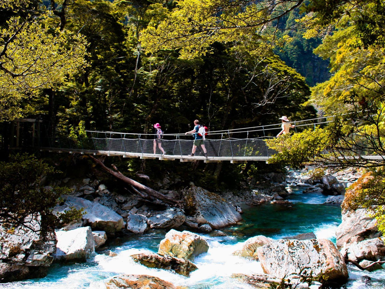
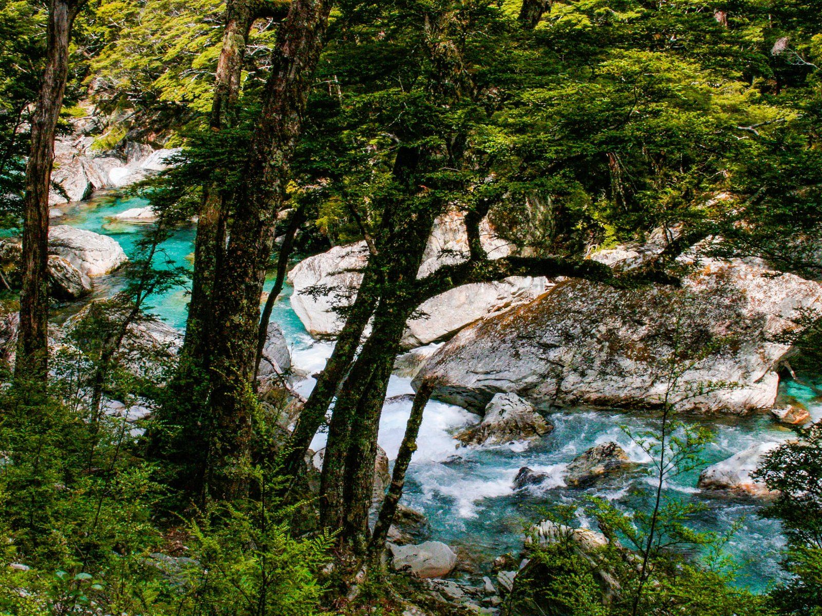
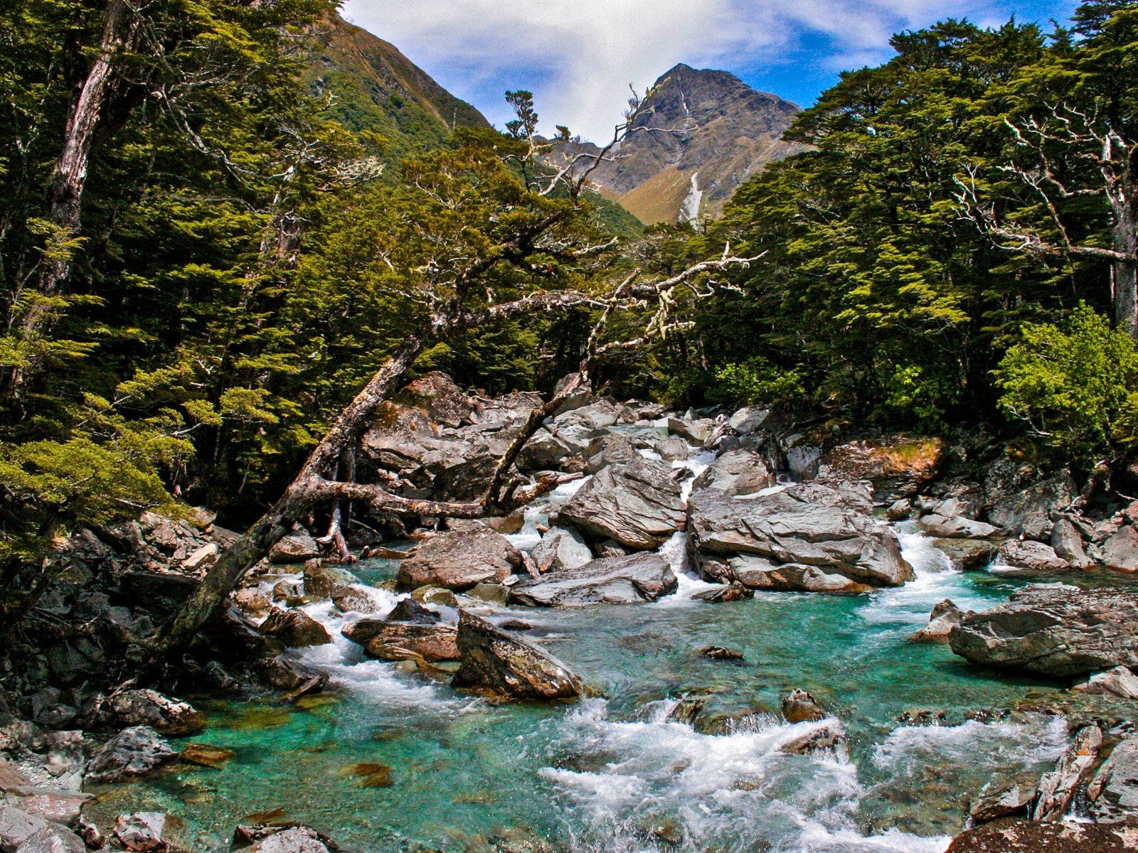
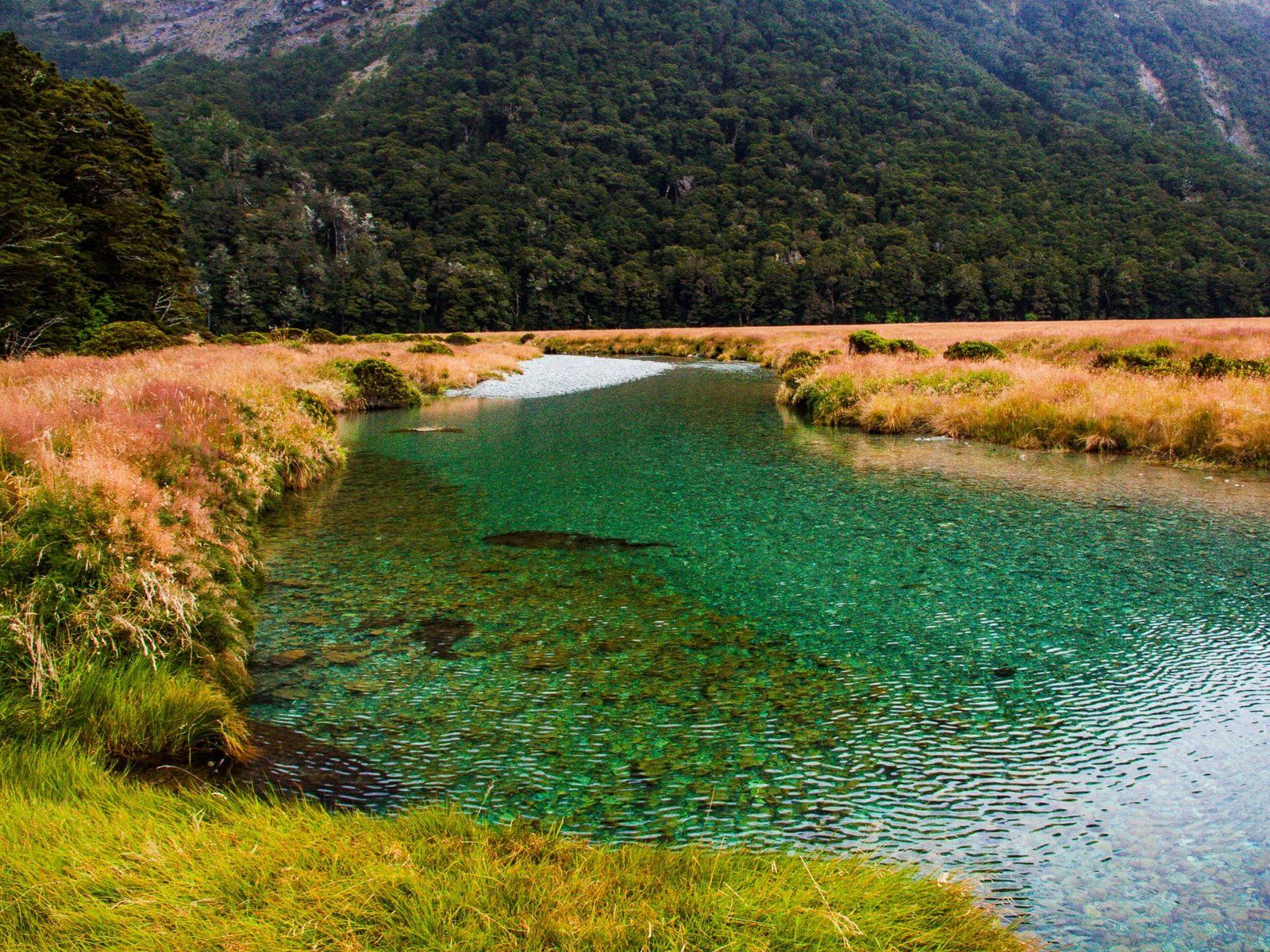
The first part of the walk follows the Route Burn (stream) for just over six km to Routeburn Flats, where there is a hut and campsite. This section is an easy walk, mostly surrounded by beech forest and gaining only 200 metres in height. The stream is attractive, with turquoise colours and tumbling rapids. It is also accessible, with beaches in a couple of places. At one point, a bridge crosses another stream that flows from a steep gorge into the Route Burn. This gorge is used for guided canyoning trips.
It takes about 90 minutes to two hours to get to Routeburn Flats, which is a stunning meadow campsite, bisected by the Route Burn and surrounded by mountains and beech forest. It’s a great spot for a picnic and to turn around if time is limited.
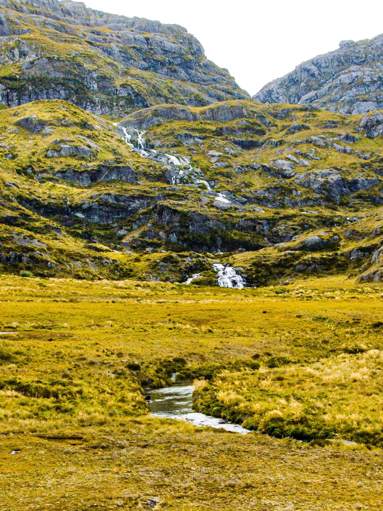
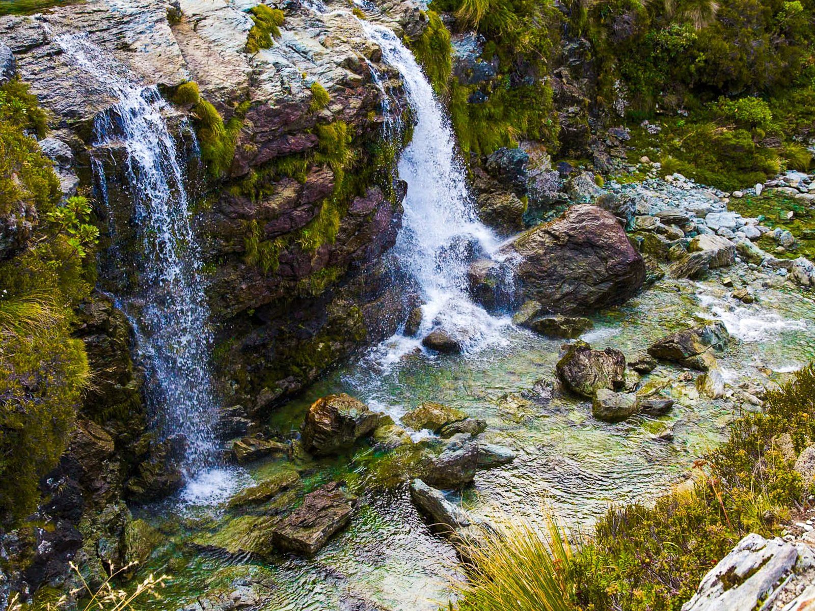
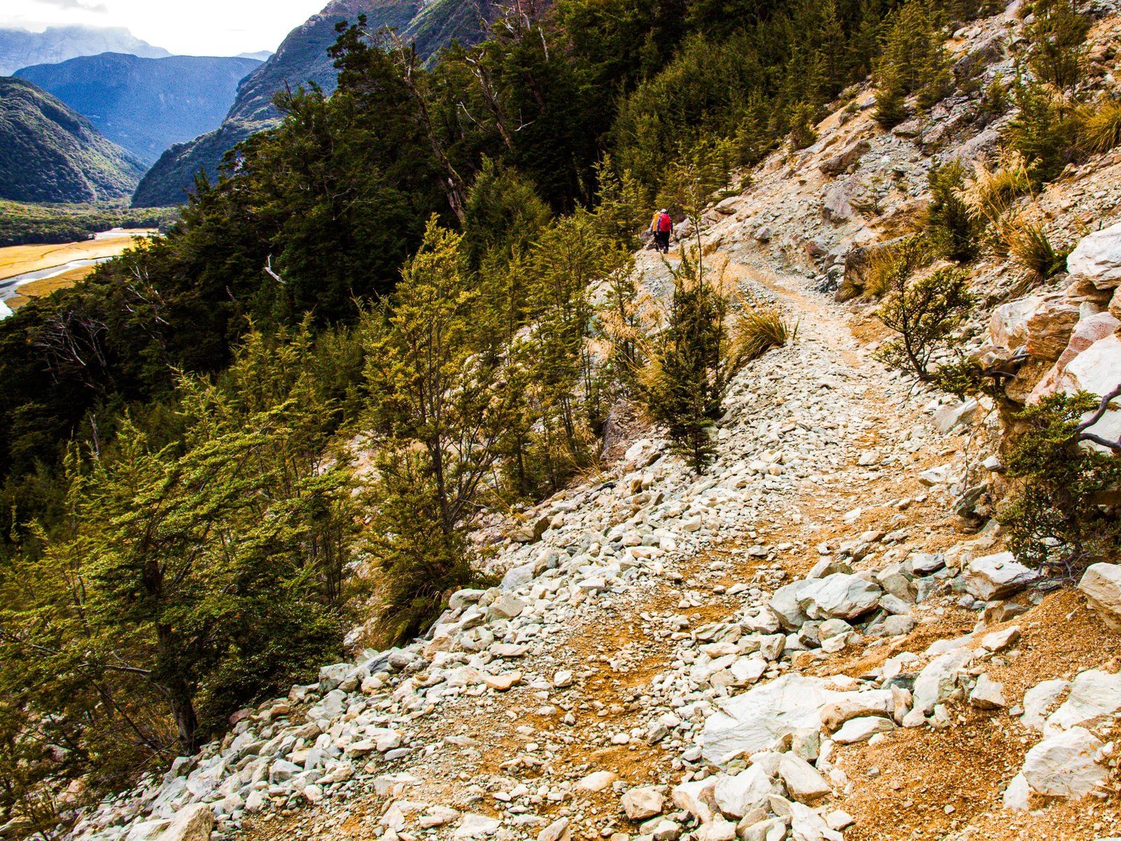
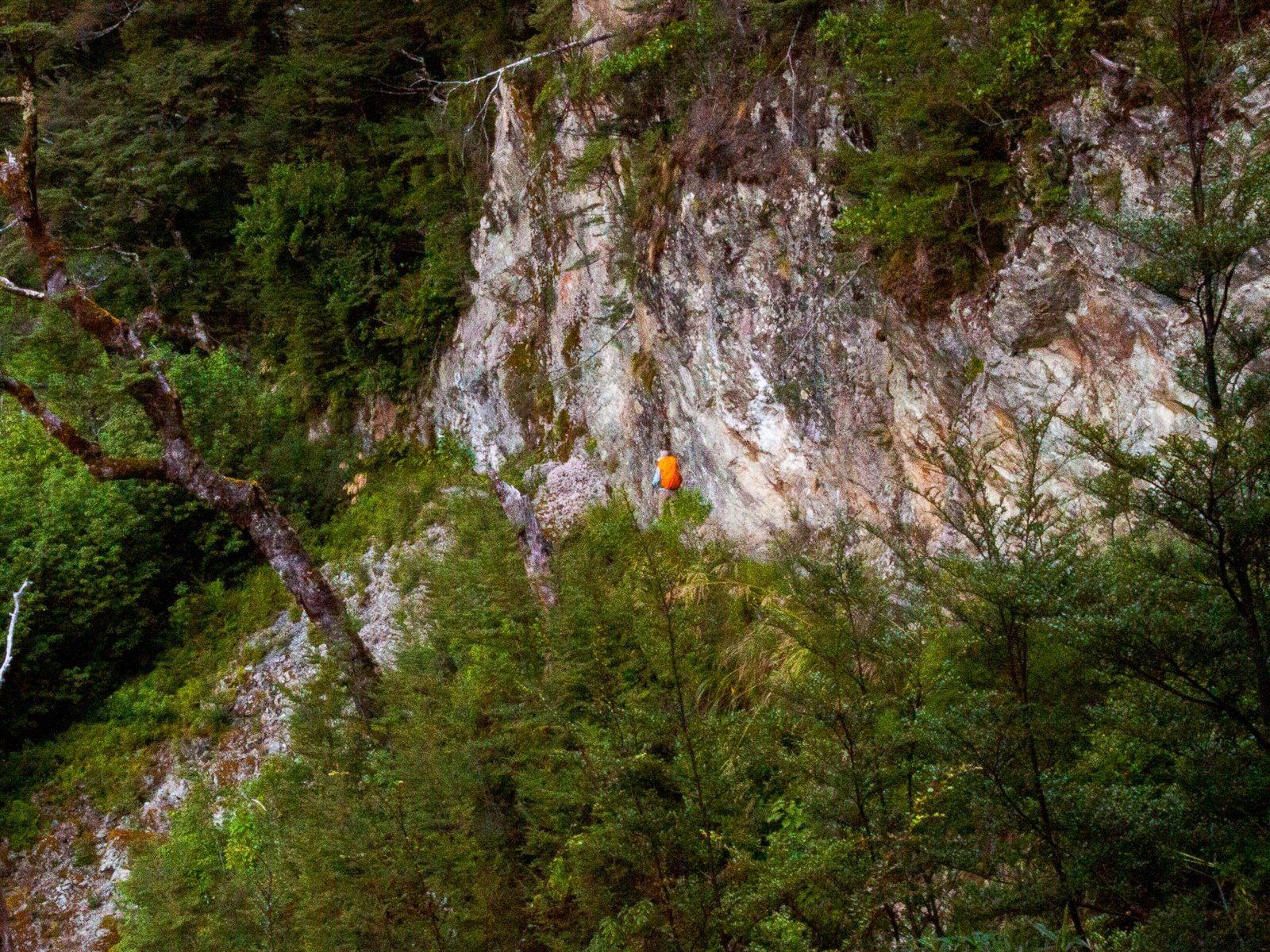
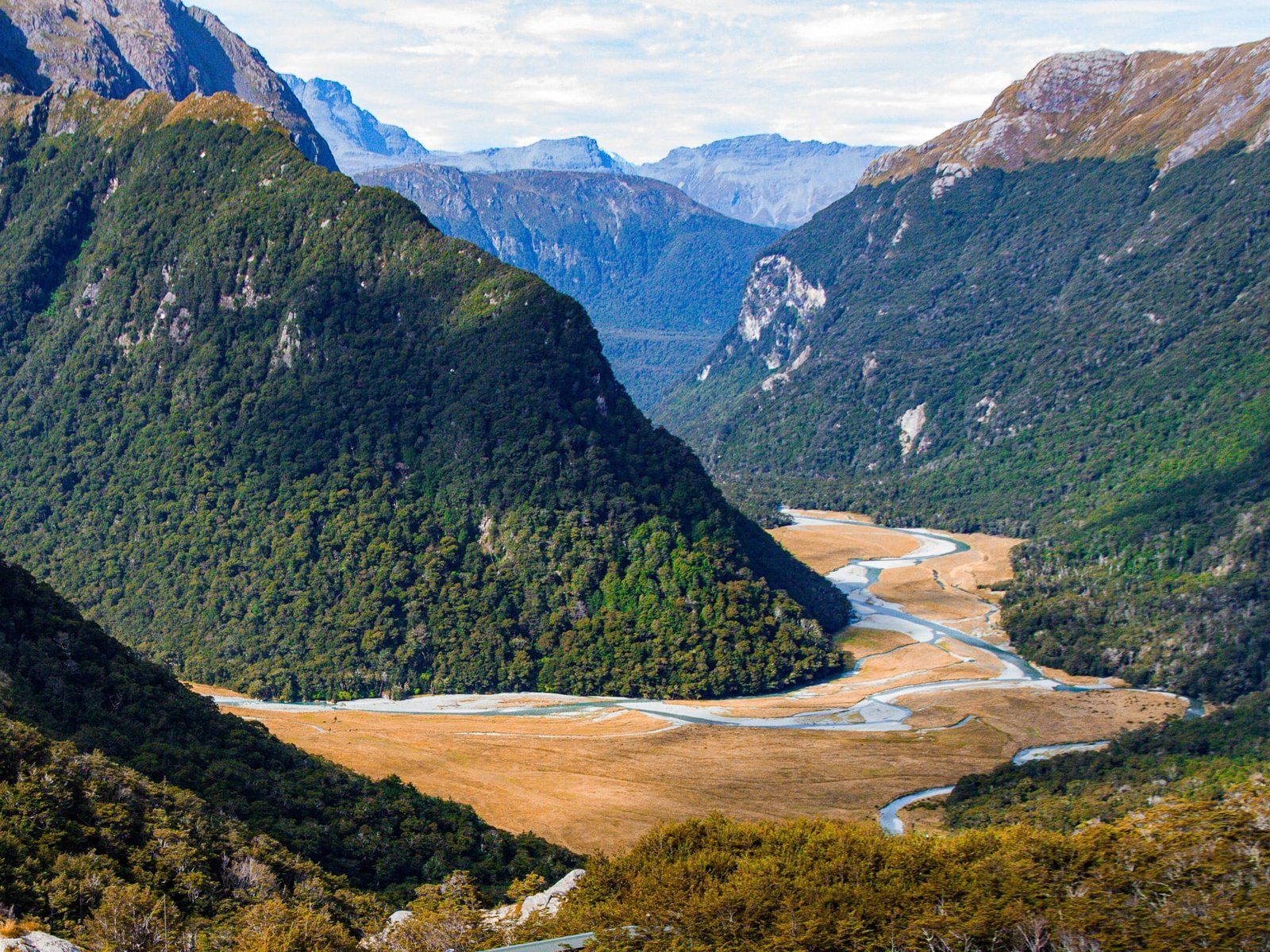
From the Flats, it is a two and a half km walk with a 200 metre climb to the Falls. Although most of the height gain is in the first kilometre, it remains relatively easy. In any event, the views back over the Flats and down the valley are spectacular. About halfway up, the track crosses an old slip area, which is particularly open. After about 45 minutes, you will see the DOC Routeburn Falls Hut and a private lodge. The Falls are easy to find just to the north of the buildings and accessible. Weirdly, Topo Maps claim the falls are 176 metres high, but they are actually about 20 metres. Perhaps they are allowing for the series of cascading drops of the Route Burn below the Falls down to Routeburn Flats.
Harris Saddle
Lake Harris and the Harris Saddle are highlights of the superb Routeburn Track. It is a stretch to get there and back as a day walk, but for strong hikers prepared for an early start, it is doable. The hike starts at Routeburn Shelter and follows the track along the Route Burn for 90 minutes to two hours to Routeburn Flats. Then it’s another 45 minutes to get to the Routeburn Falls. From there, it is another hour or so, and another 300 metre climb to the saddle at 1,255 metres. To be safe, allow up to four hours each way.
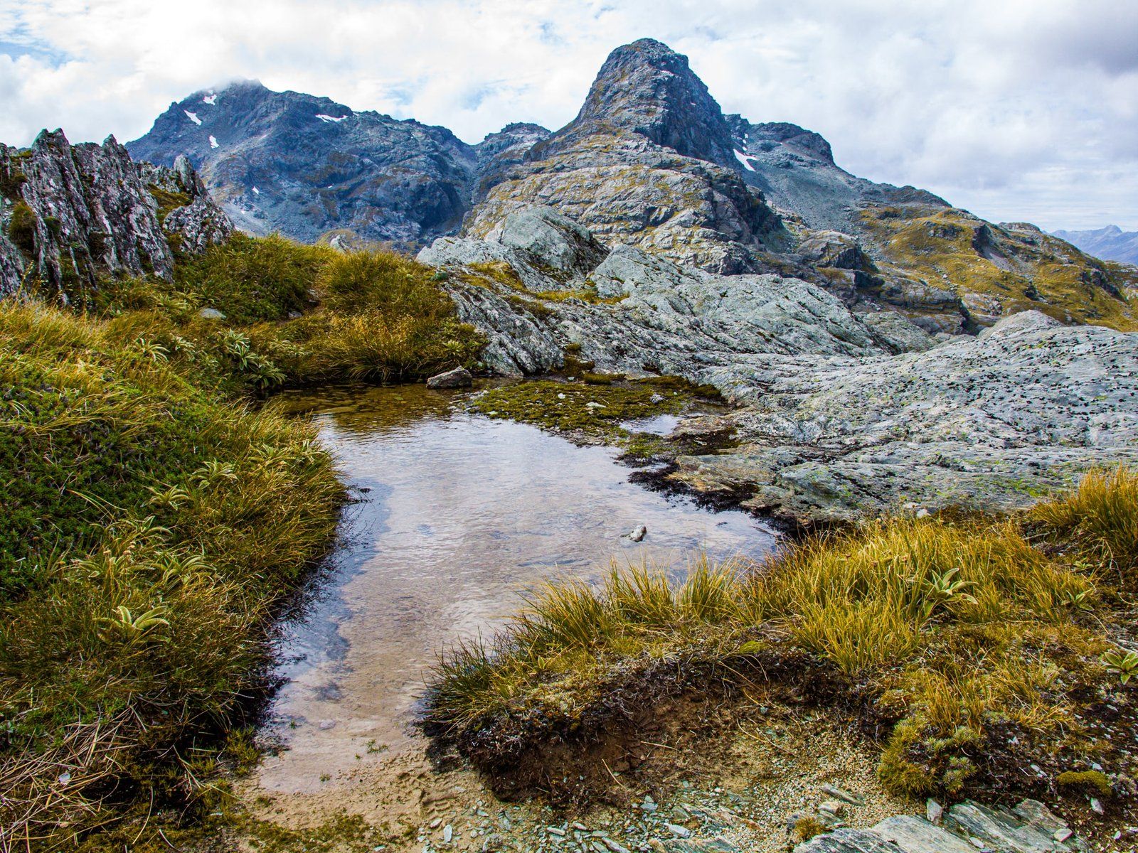
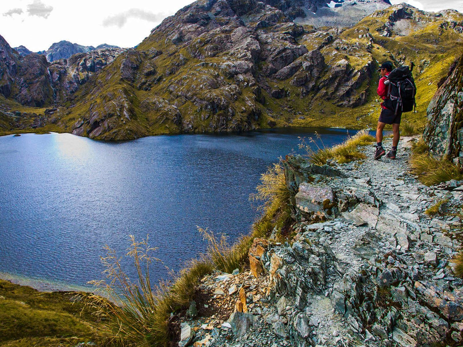
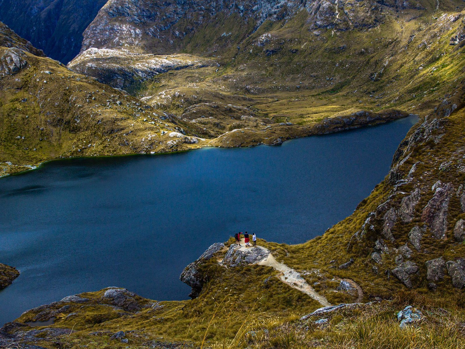
The payoff is the fabulous alpine walk up the wide amphitheatre with steep mountains to the north and south for the extra leg beyond Routeburn Falls. The Route Burn also tumbles down the amphitheatre from Lake Harris at 1225 metres. After about 45 minutes, the track rises above the Lake and then follows the cliff edge to the Saddle. The views are fabulous across the Lake and from the Saddle, there are also views of Hollyford Valley and the Darran Mountains.
There is a shelter on the Saddle, a perfect spot for lunch. If you have enough energy, there is also a short but steep 230 metre, 30 minute climb to the top of Conical Hill at 1515 metres. This provides near 360-degree views of the region.
Be aware, this hike is in a high alpine region. Check the weather carefully and be prepared to turn back if it deteriorates.
Want more Southland Trip Ideas?
Check out our blogs on the Southern Scenic Route: Fiordland, Milford Road, and Golden Southland.
