
Collingwood is a small coastal town at the northwestern end of Golden Bay. It’s a good base for a few days exploring the Aorere Valley and Whanganui Inlet, and provides access to the West Coast and Cape Farewell.
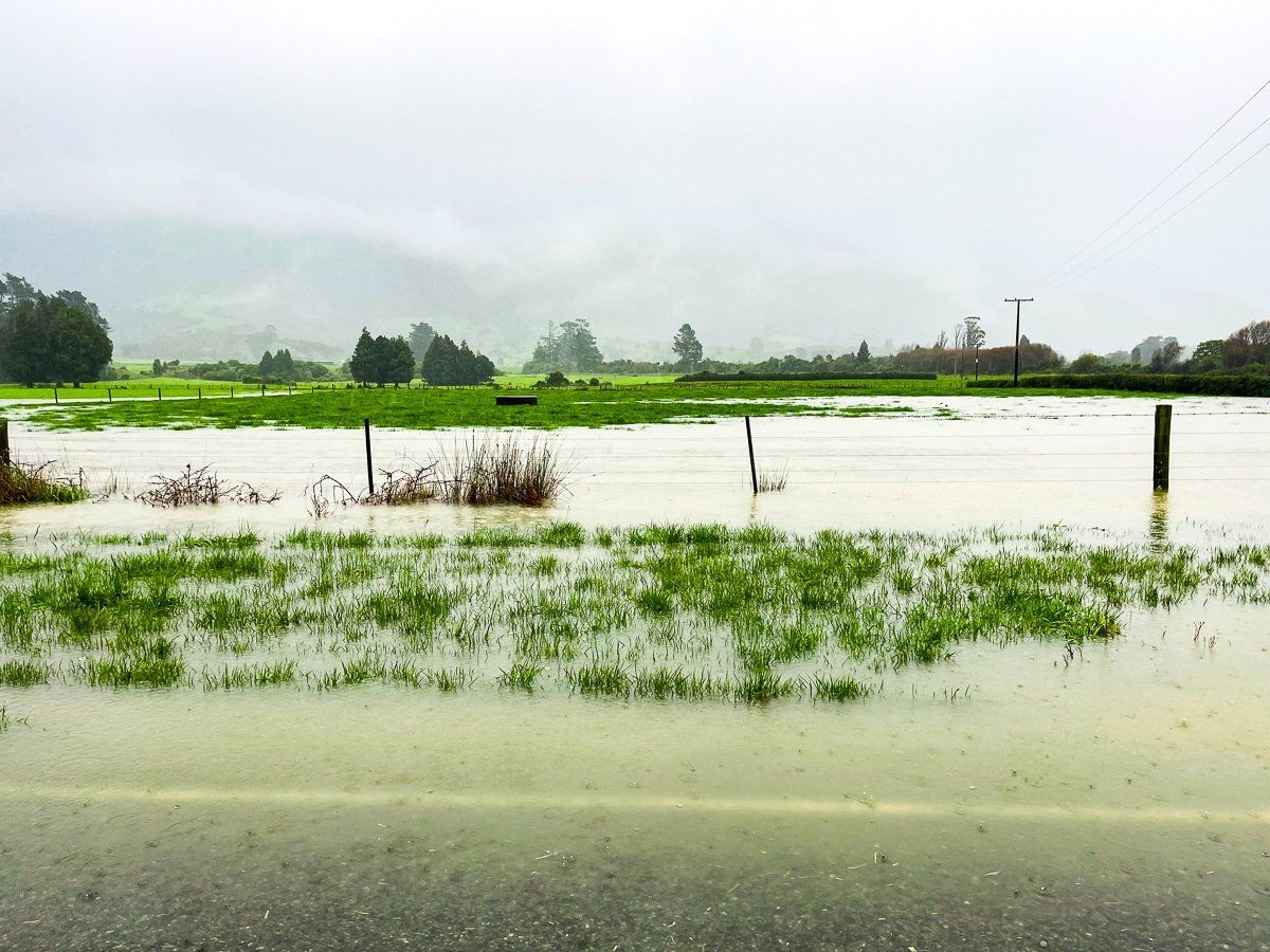
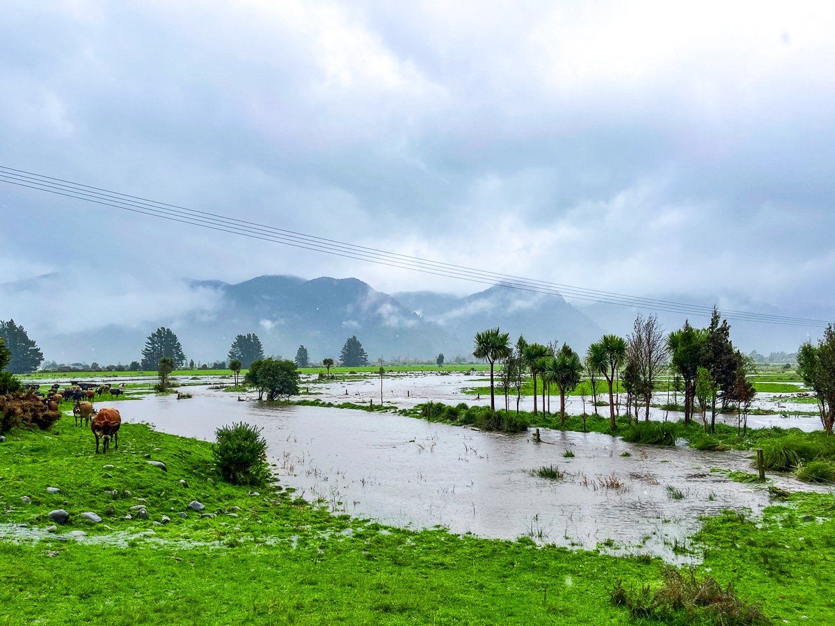
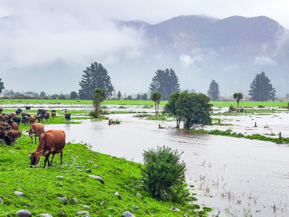
During our visit to Collingwood we discovered just how wet Golden Bay can be – very. On a drive up the Aorere Valley in quite extensive flooding, a local happily informed us they had the third highest rainfall in the South Island.
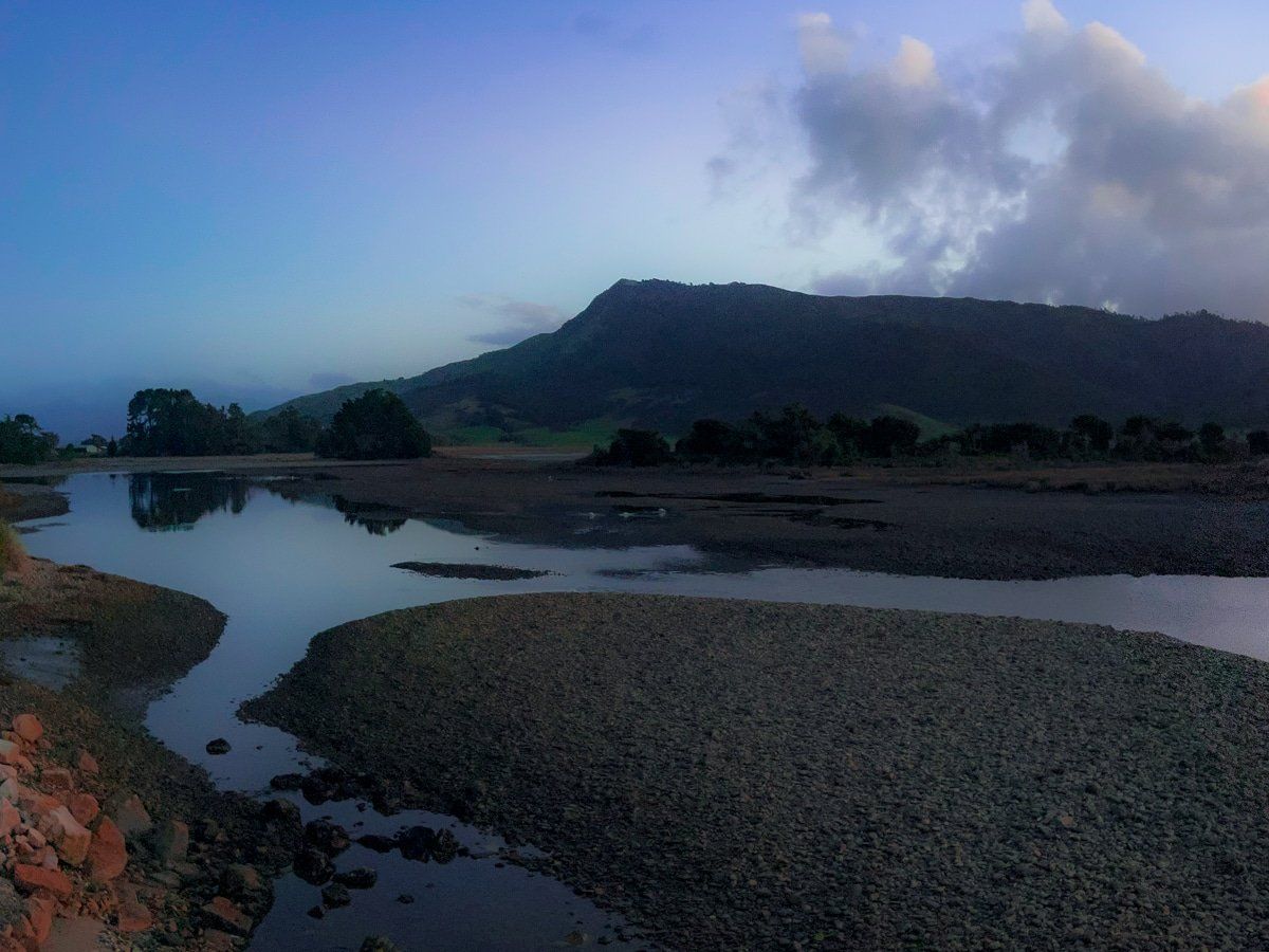
On the wettest day, longer hikes were out of the question so we visited some local curiosities and the Salisbury Falls. Closer to Collingwood, the Aorere River wetlands were gorgeous, despite the rain and low cloud.
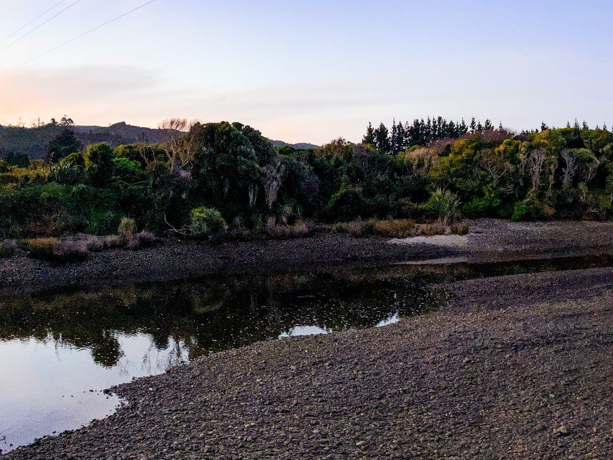
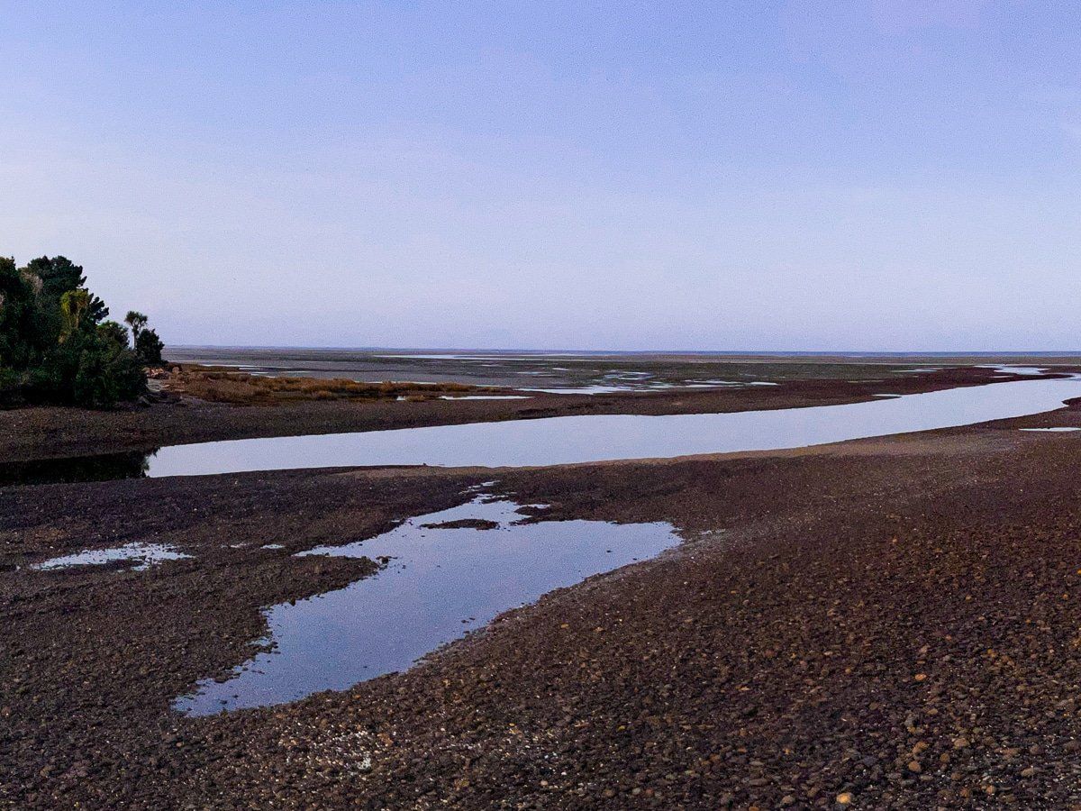
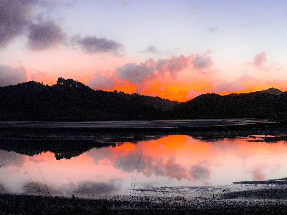
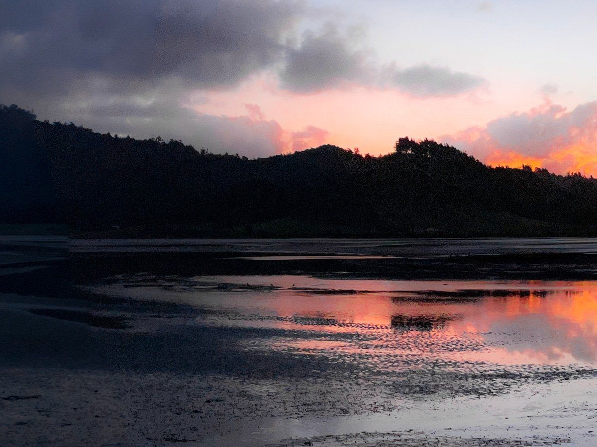
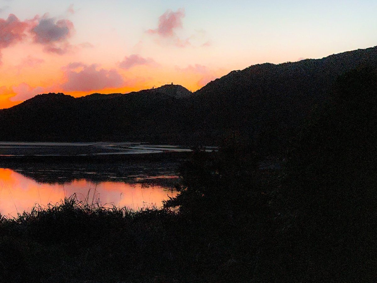
The weather was a bit better up the coast around Pakawau, where there is a long beach between Taimatea Point and Tomatea Point. We also managed to capture some evening shots over the Pakawau Inlet and the Aorere River mouth in clearer skies.
Collingwood
Collingwood is the perfect base for a few days in northwestern Golden Bay. The town is right next to the Aorere River mouth, along with a great campground.
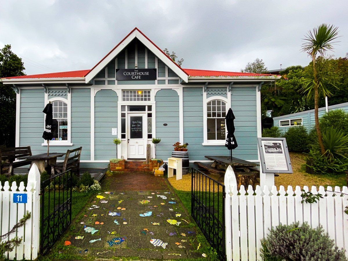
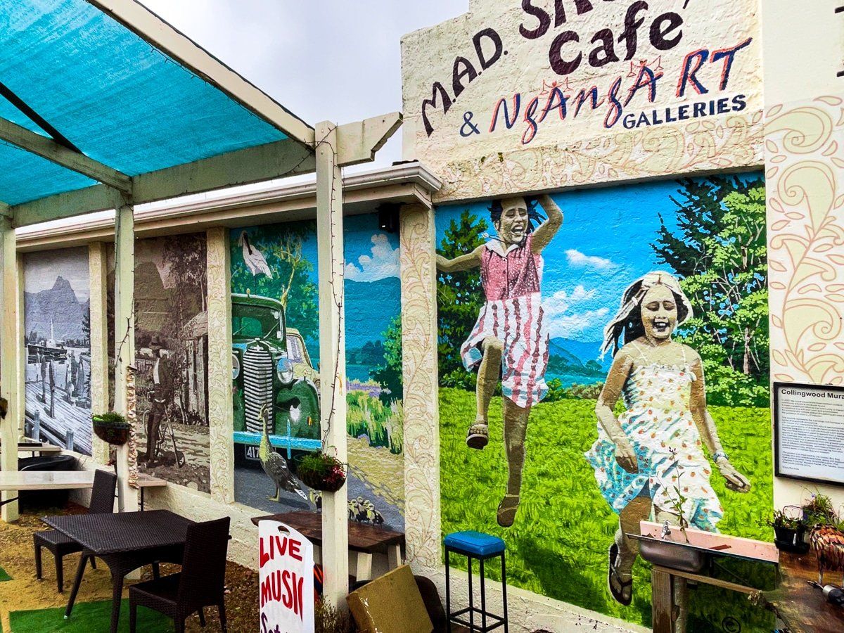
Like many small, remote towns in New Zealand, Collingwood hasn’t changed much over the last century. However, it has a handful of colourful cafes and businesses, and it’s only a 10 minute drive to the Mussel Inn, which has excellent beers, food and live music.
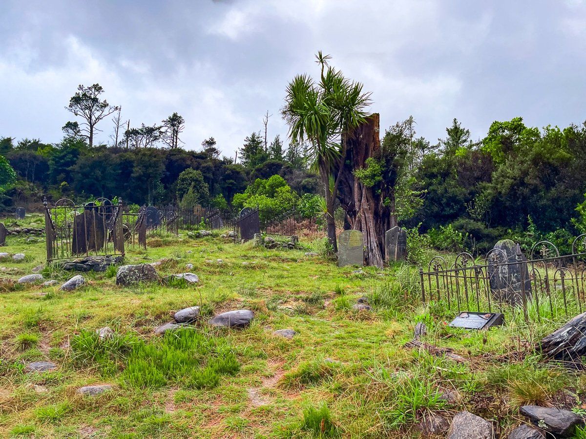
While you’re in Collingwood it’s worth visiting the colonial era cemetery, which is disappearing back into the bush. There’s also a sign that describes a grand plan for the expansion of Collingwood that never came to pass.
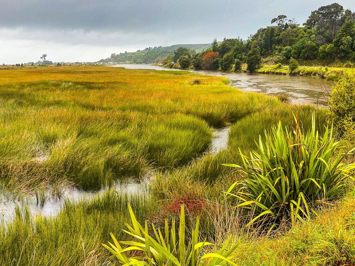
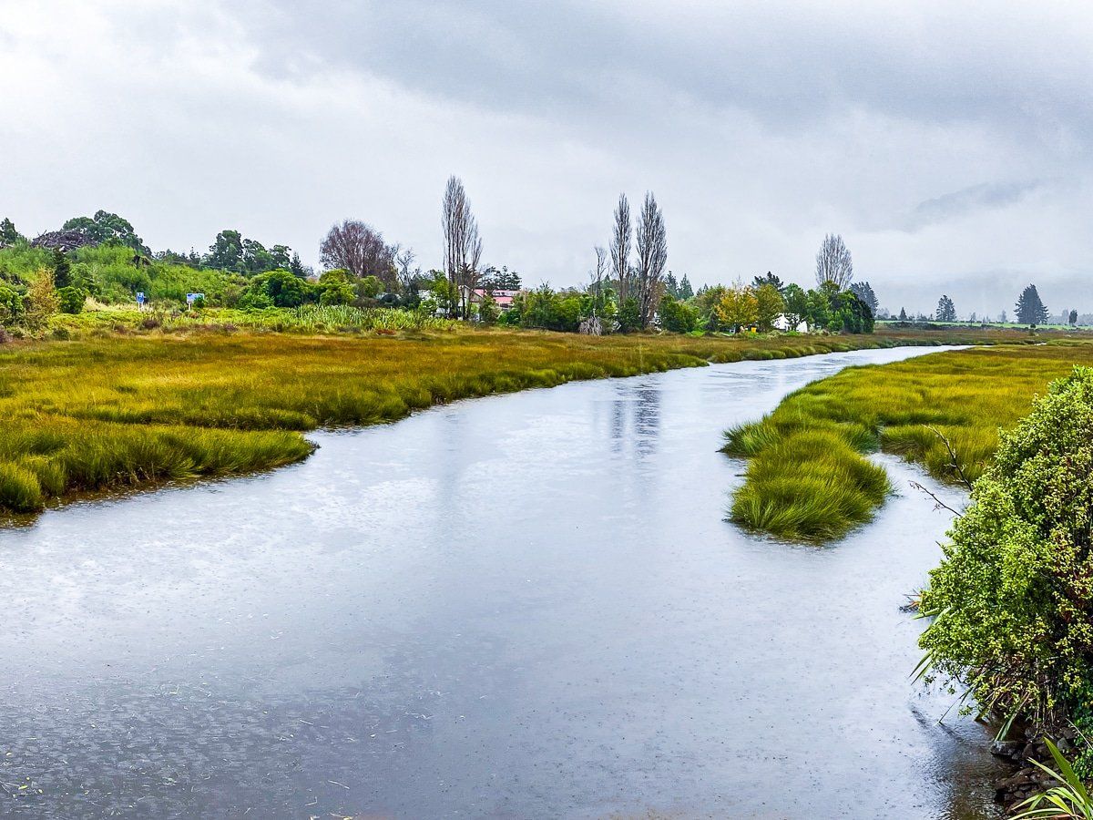
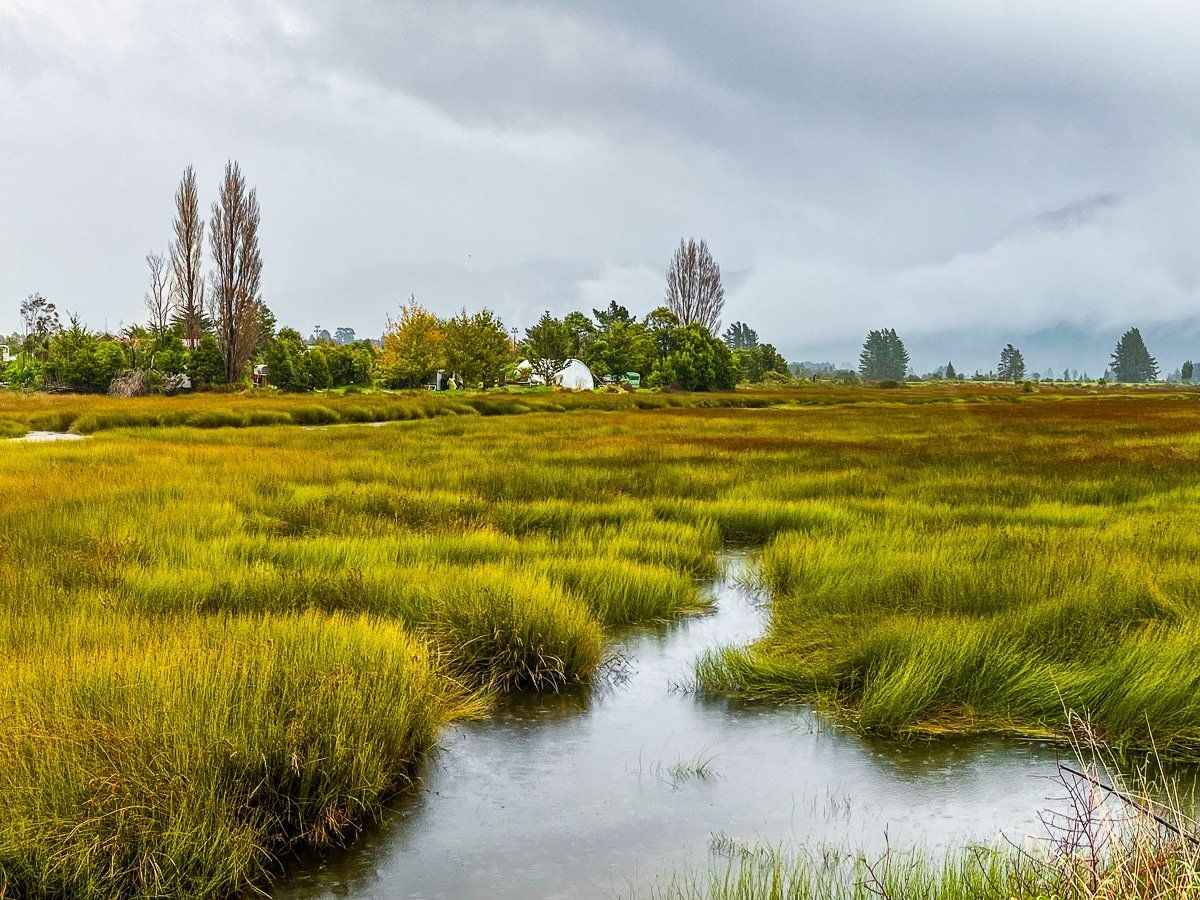
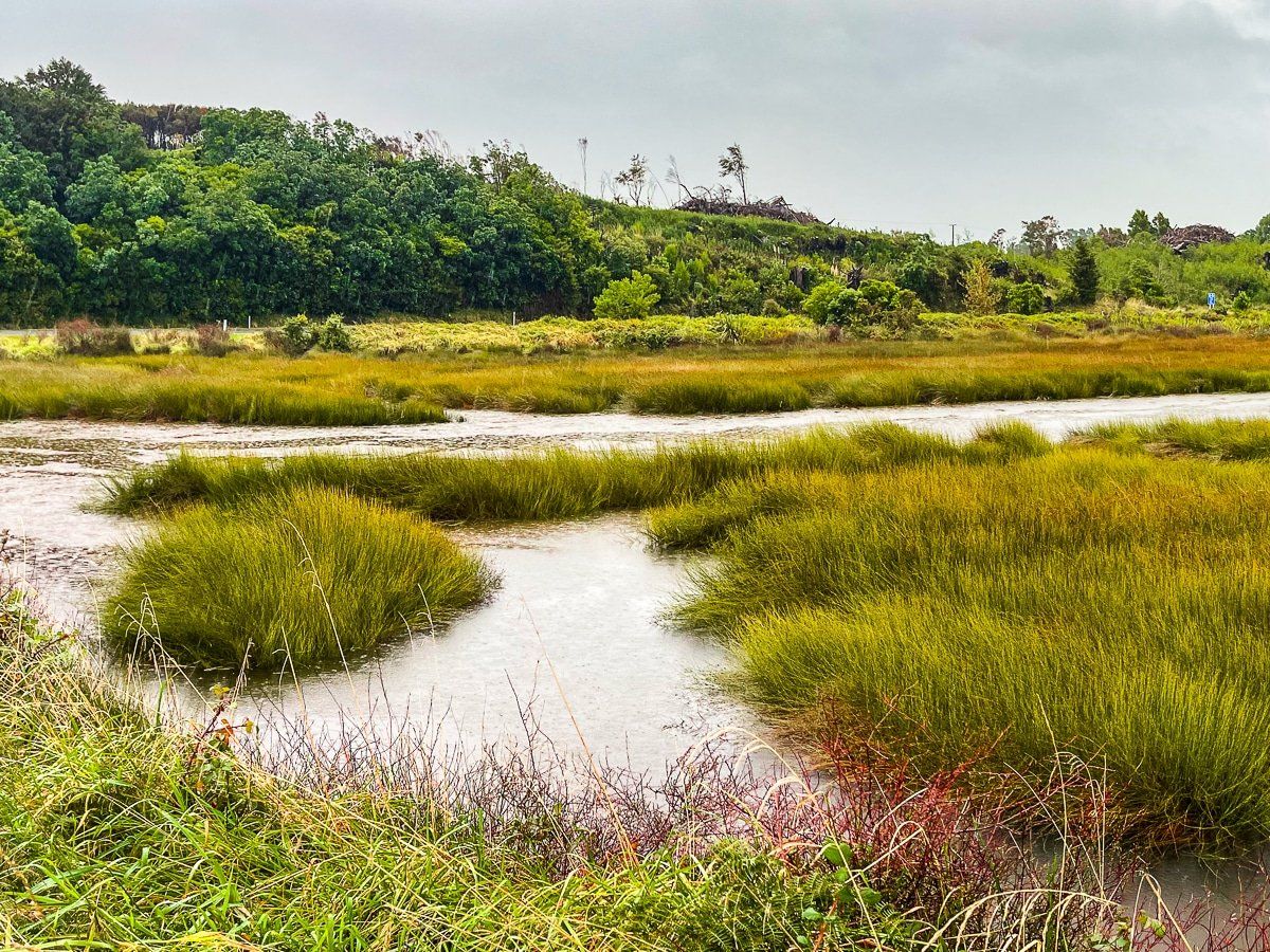
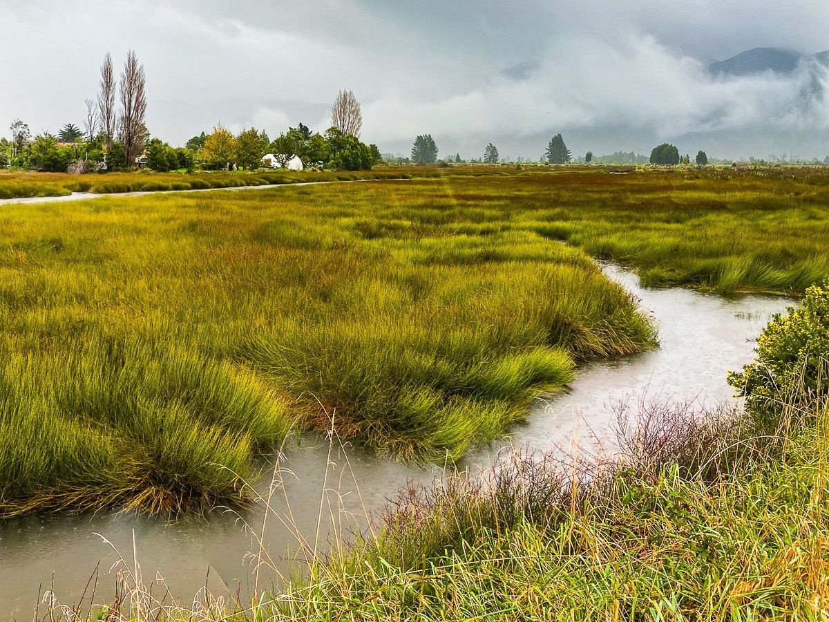
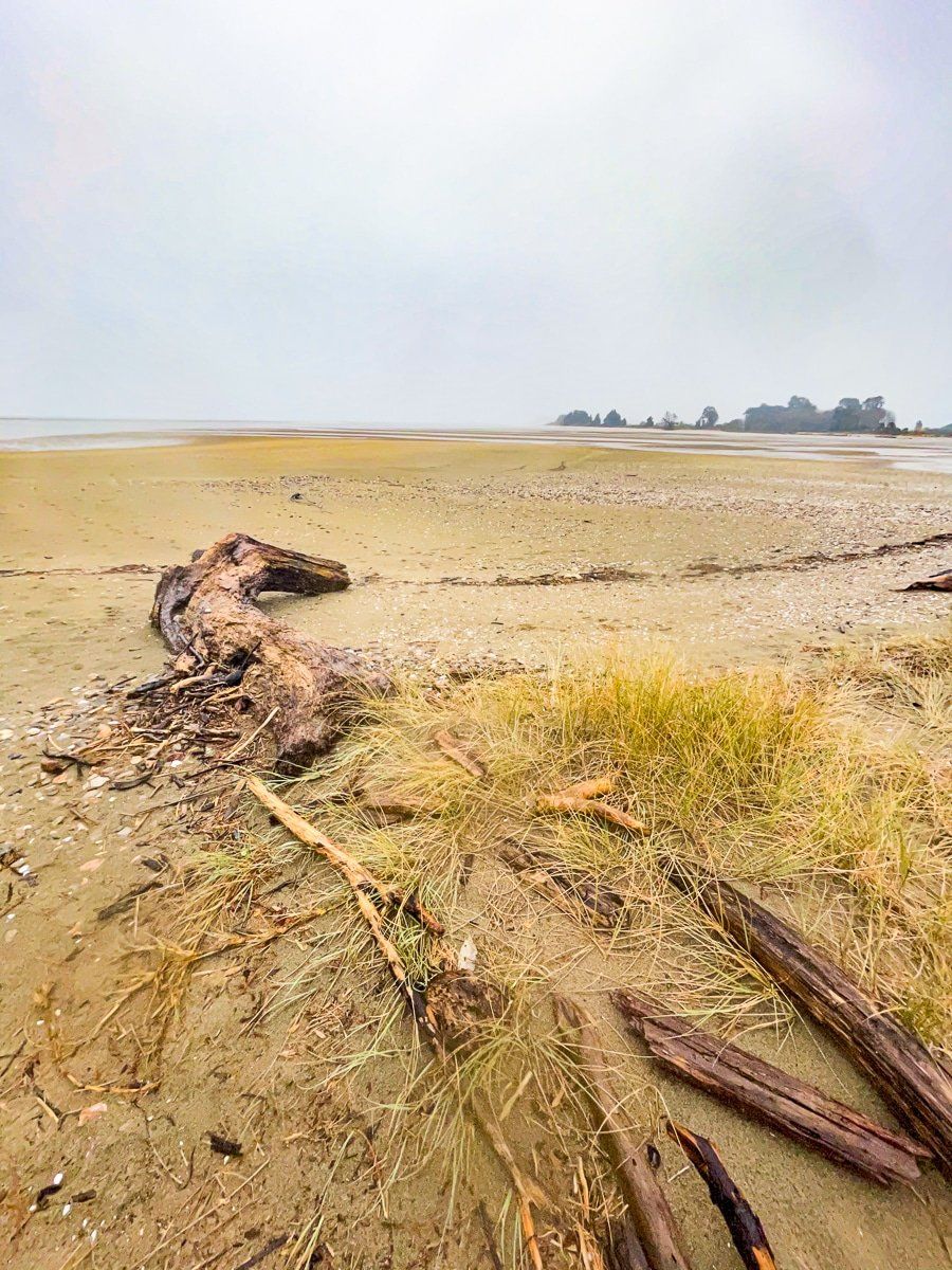
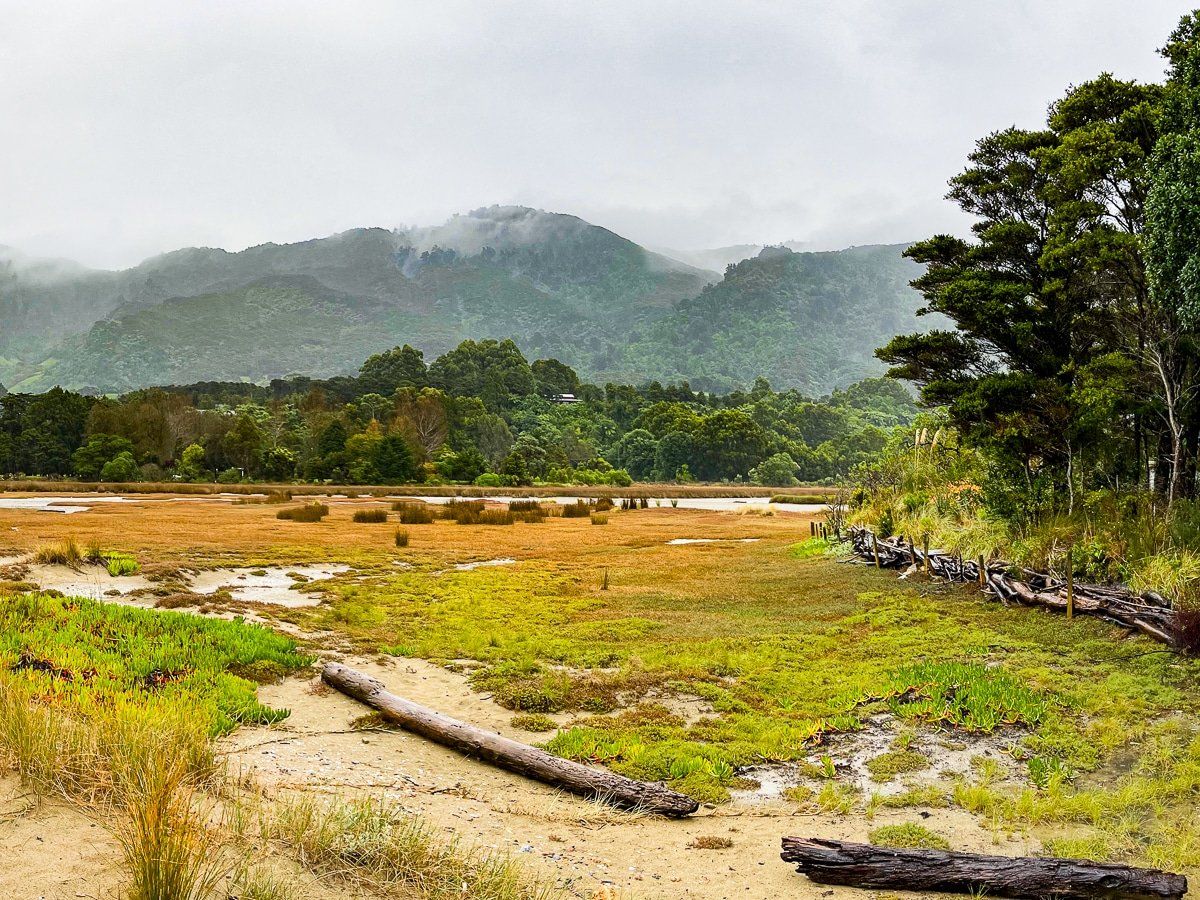
Aorere River wetlands
The Aorere River wetlands are west of the river mouth. Even in a rainstorm, the green, gold and orange grass was stunning. You can drive past the wetlands, or safely stop near the bridge that links the main road along the coast to Collingwood Bainham Main Road.
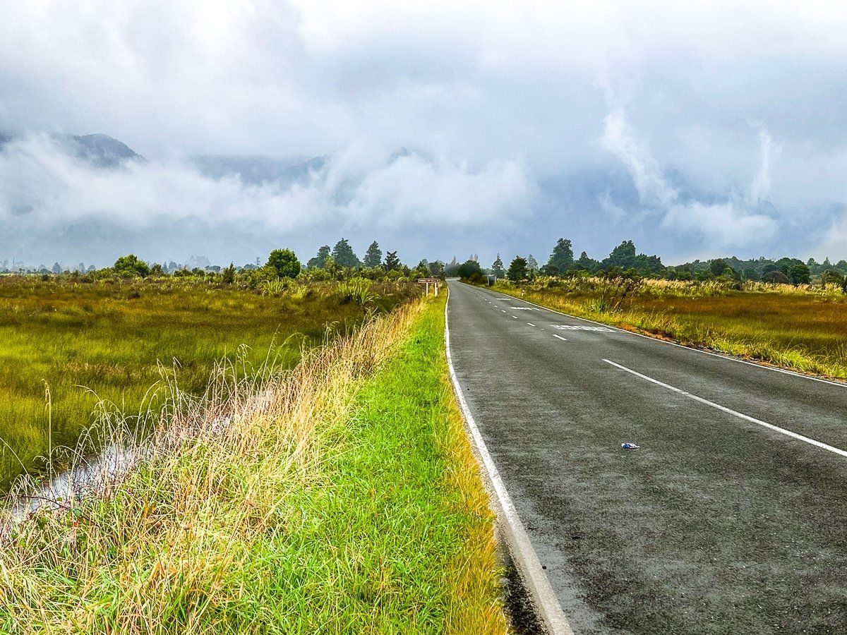
Aorere Valley
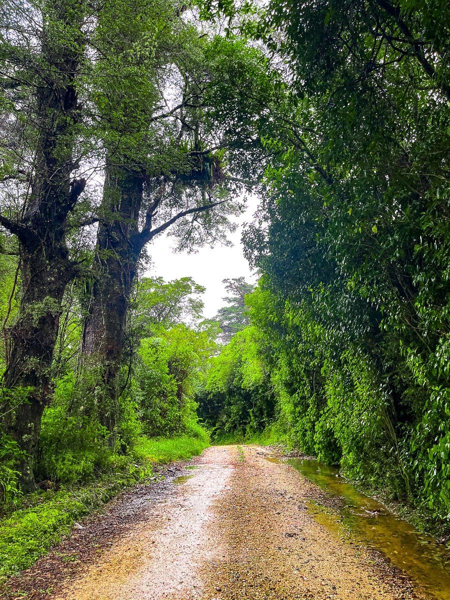
Usually, the journey up the Aorere Valley would be a sedate drive through farmland, eventually ending at the start of the Heaphy Track, one of the Great Walks.
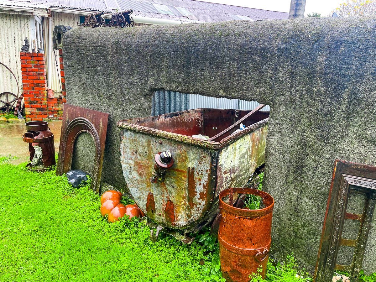
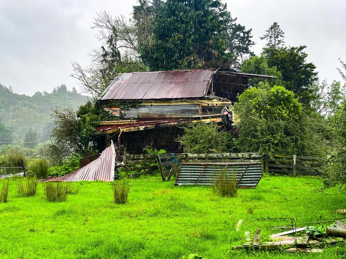
When we drove up the Aorere Valley, the abysmal weather and surface flooding made the idea of a hike pretty unappealing, but there was still plenty to do.
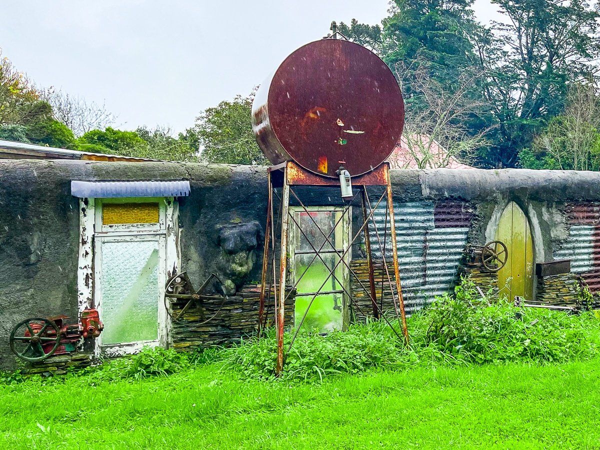
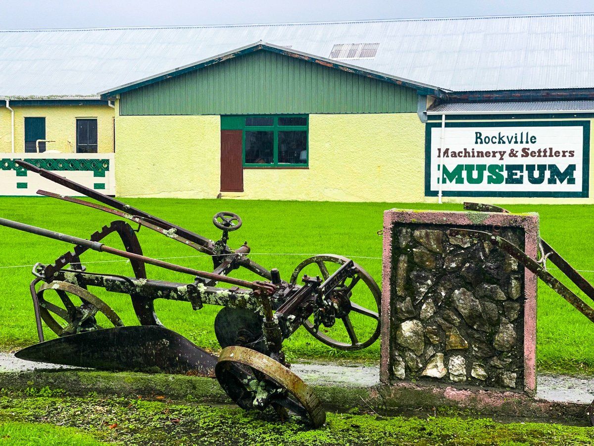
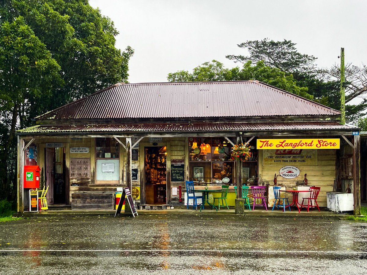
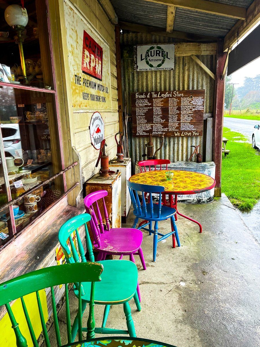
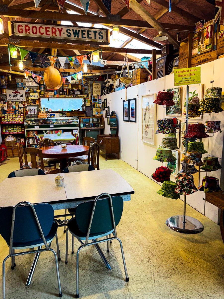
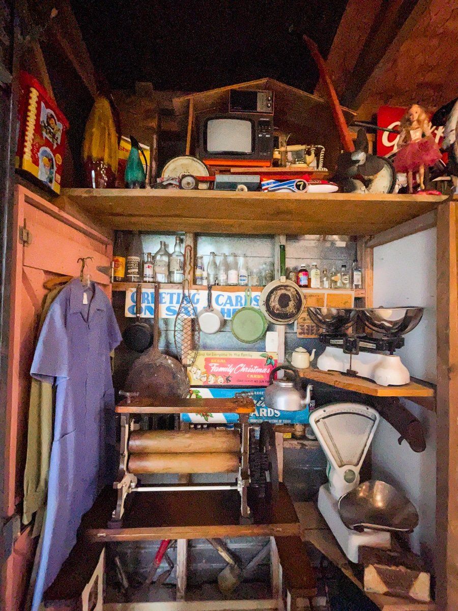
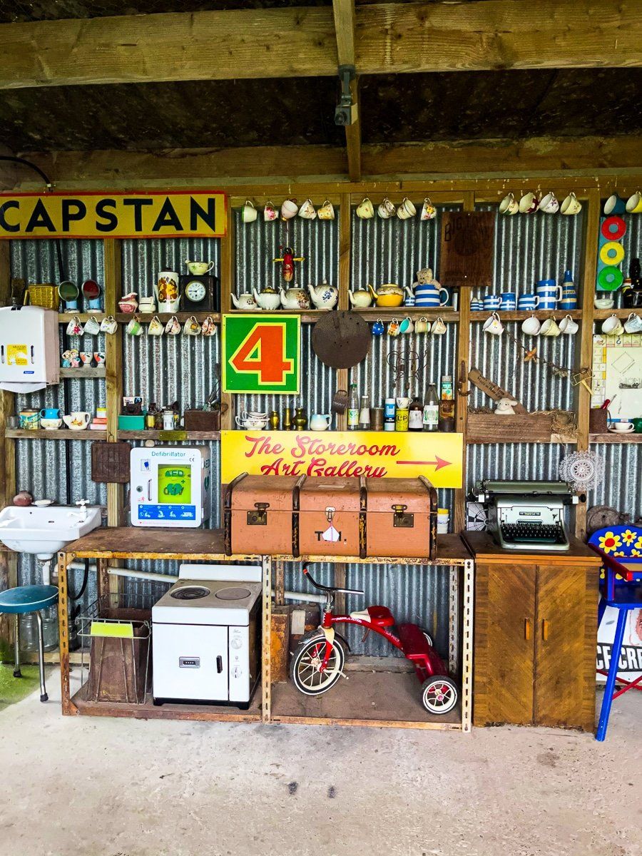
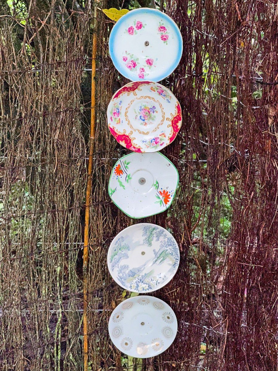
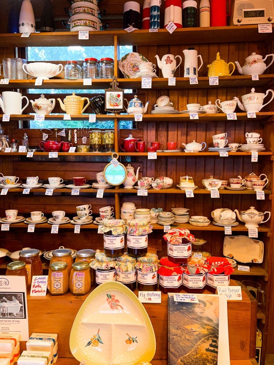
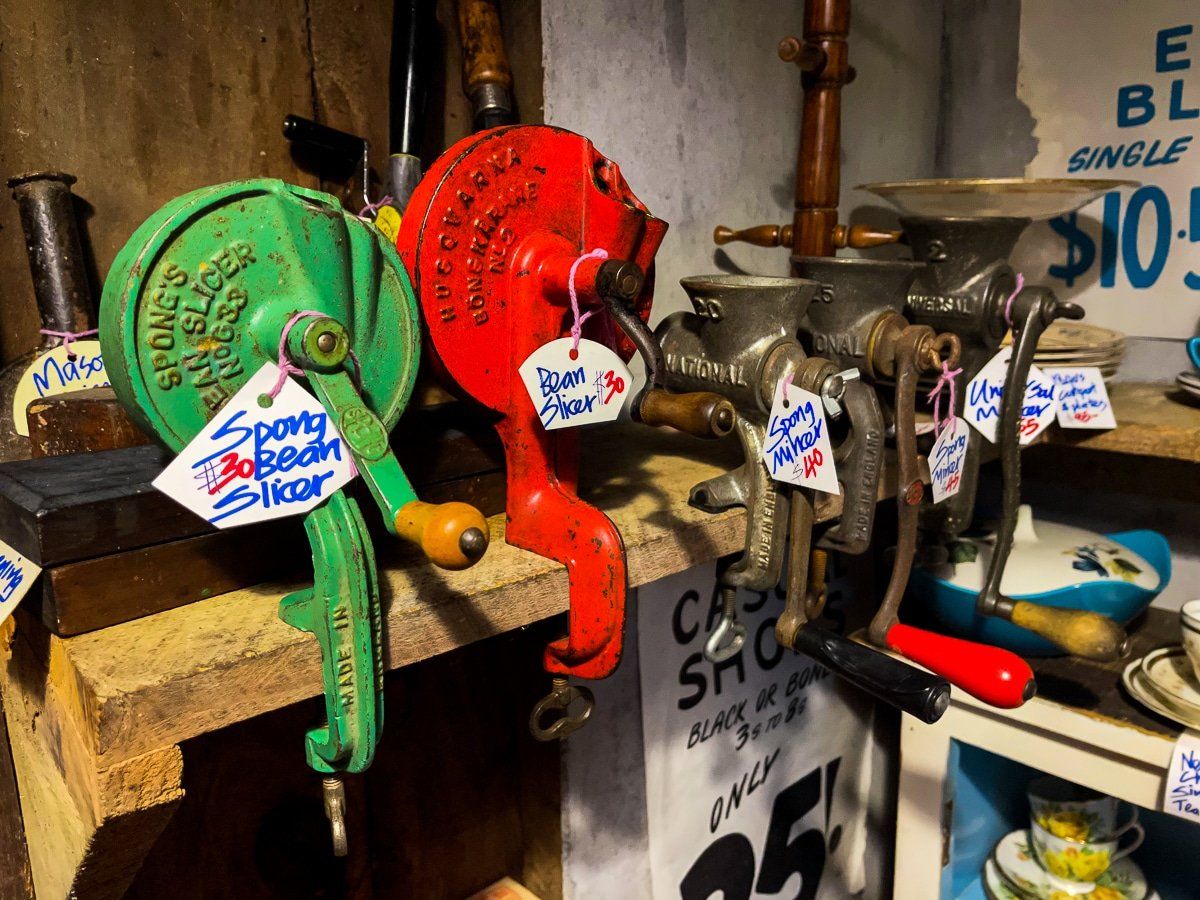
The grass is even greener when wet, and there are various curiosities – a wrecked house, a cool junk shop, and the local museum. A bit further on is the extraordinary Langford Store and then the Salisbury Falls.

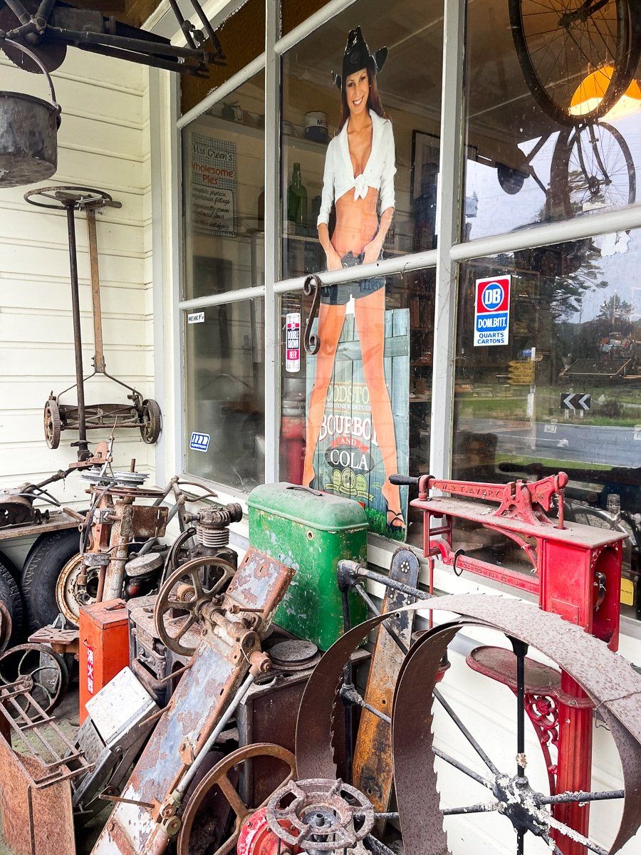
The Langford Store
The Langford Store is quite a treasure. It’s packed full of curiosities, local artwork, crafts, and antiques, plus you can get a coffee and snack. It’s also an official post office.
It has been in the same family for many decades, and the upside of the bad weather was that there was plenty of time to chat to the proprietor, as we were the only ones crazy enough to be there.
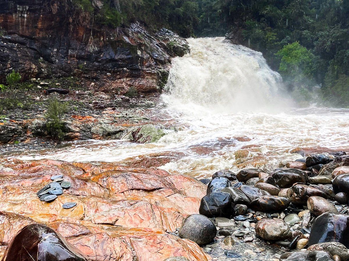
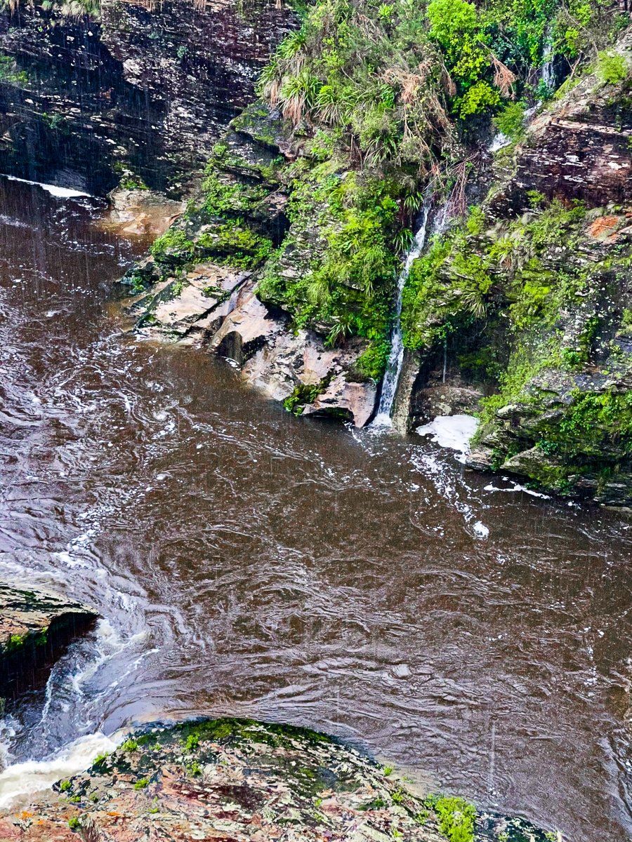
Salisbury Falls
The Salisbury Falls are accessed from a signposted turnoff on Aorere Valley Road, five kilometres along the road from the Langford Store. When you cross the bridge you’ll see the entry across a paddock on the left.
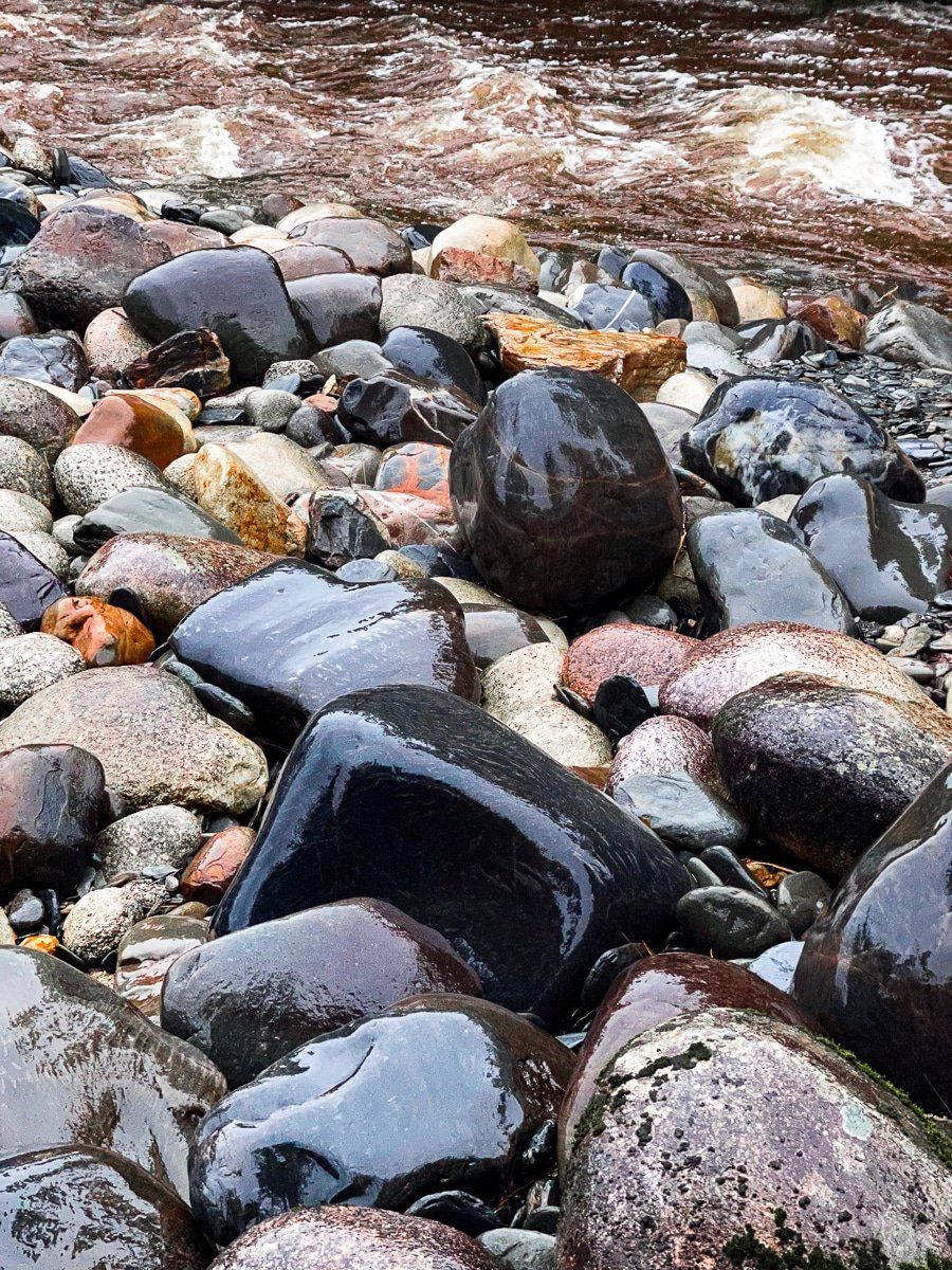
It’s a short hike down a rough track to the base of the Salisbury Falls. The falls are relatively modest in height, but when we visited they were spectacular with a mass of water flooding in from the Salisbury Creek. The colourful stones and rocks at the base of the pool below the falls added to the scene. It’s usually safe to swim below the falls, and they are generally much more sedate.
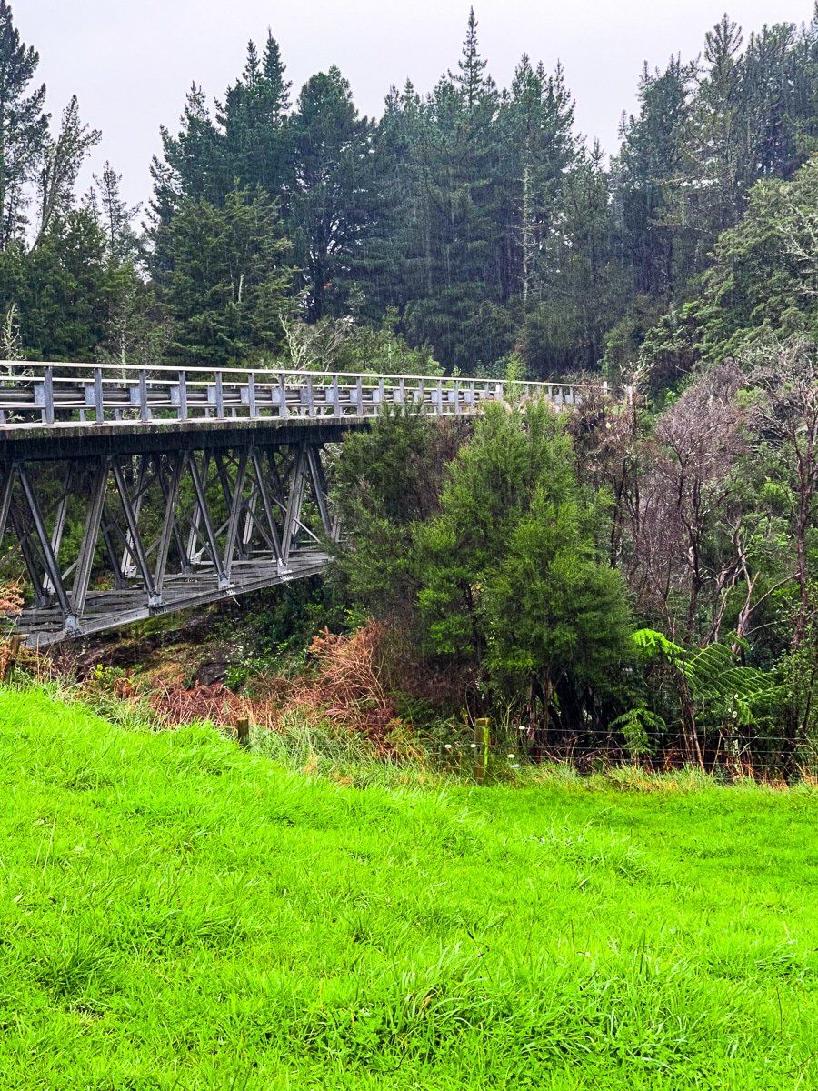
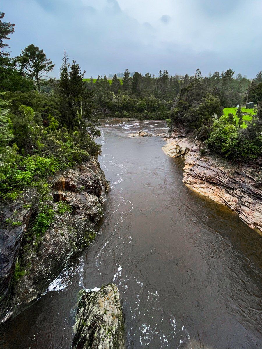
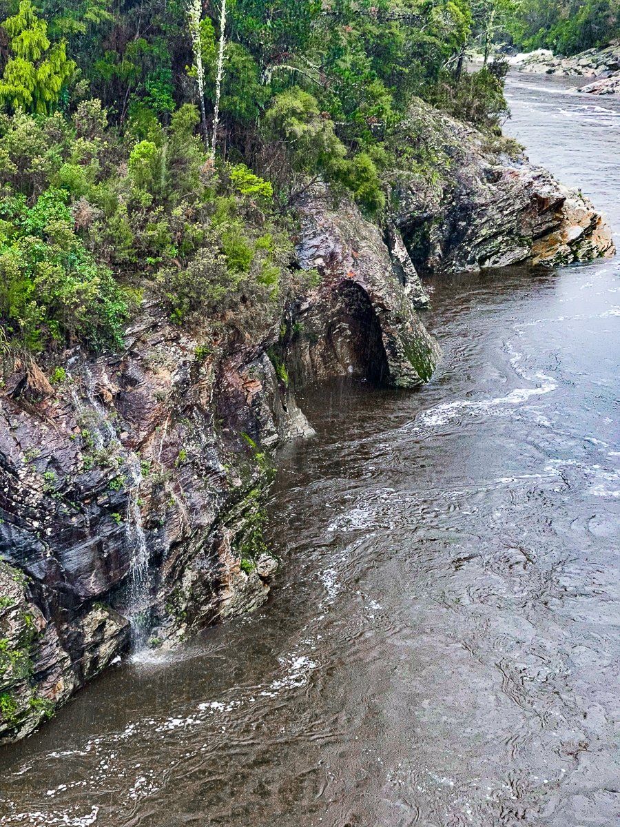
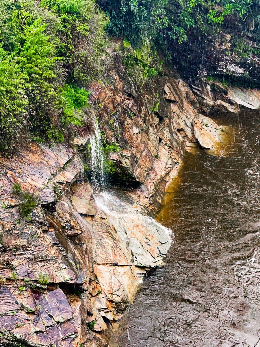
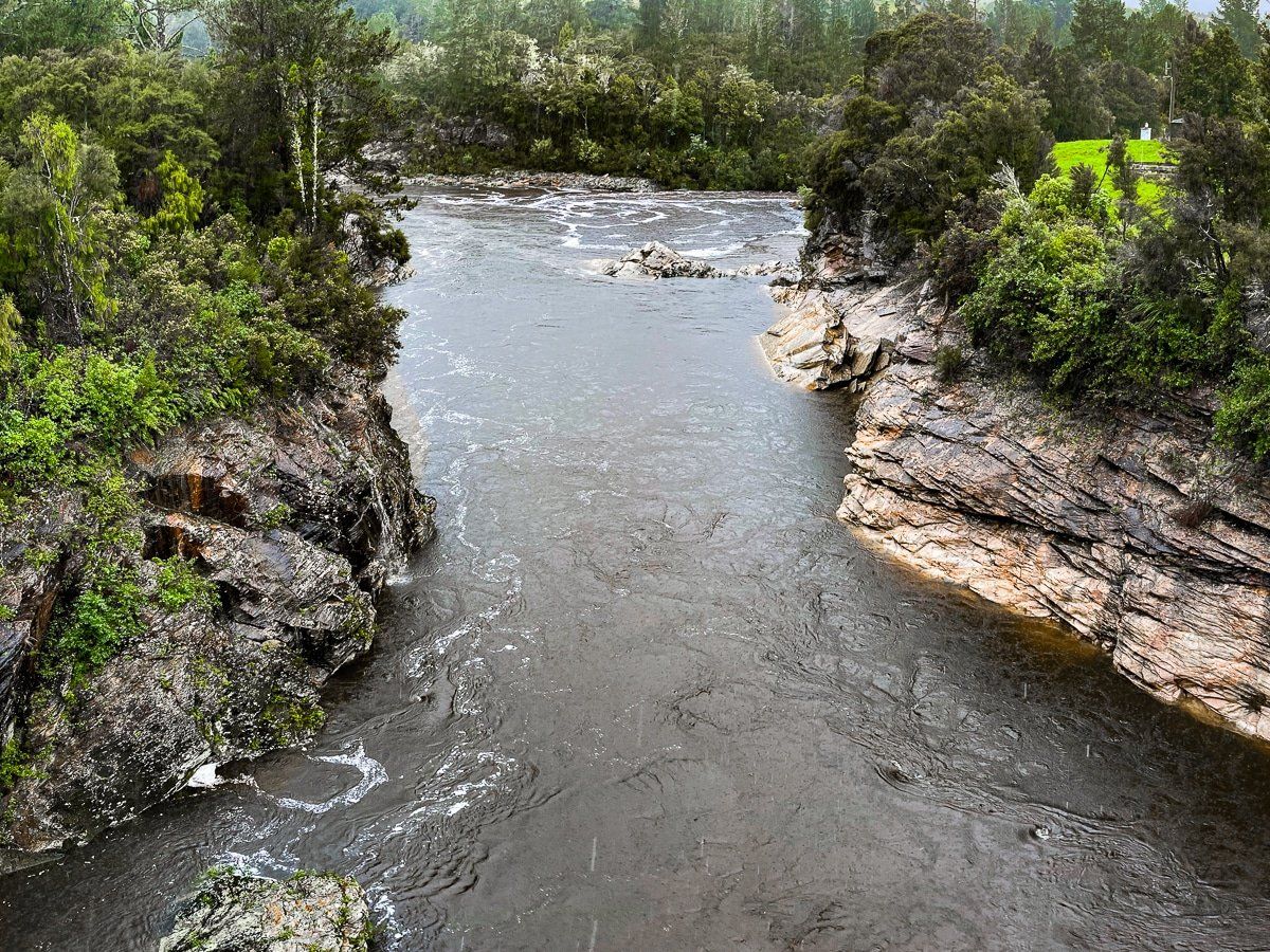
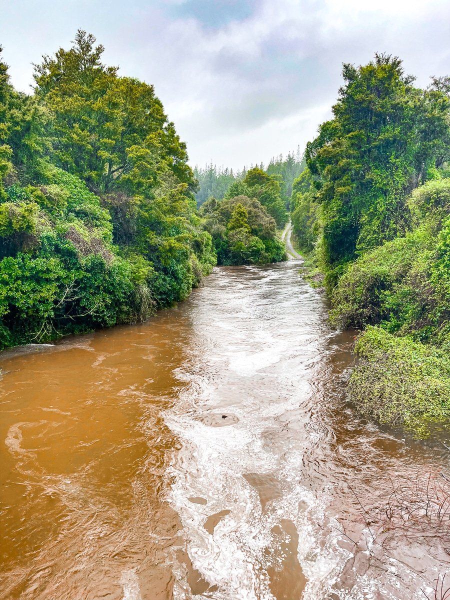
You can also walk back across the bridge for a spectacular view over the Aorere River. You can’t see the falls from the bridge, but there were several smaller falls cascading off the side of the gorge. You may also notice a rectangular frame near the bridge. This is the remnants of a swing bridge dating back to 1887 that was destroyed in a flood in 2010, when water filled the gorge to the height of the main bridge!
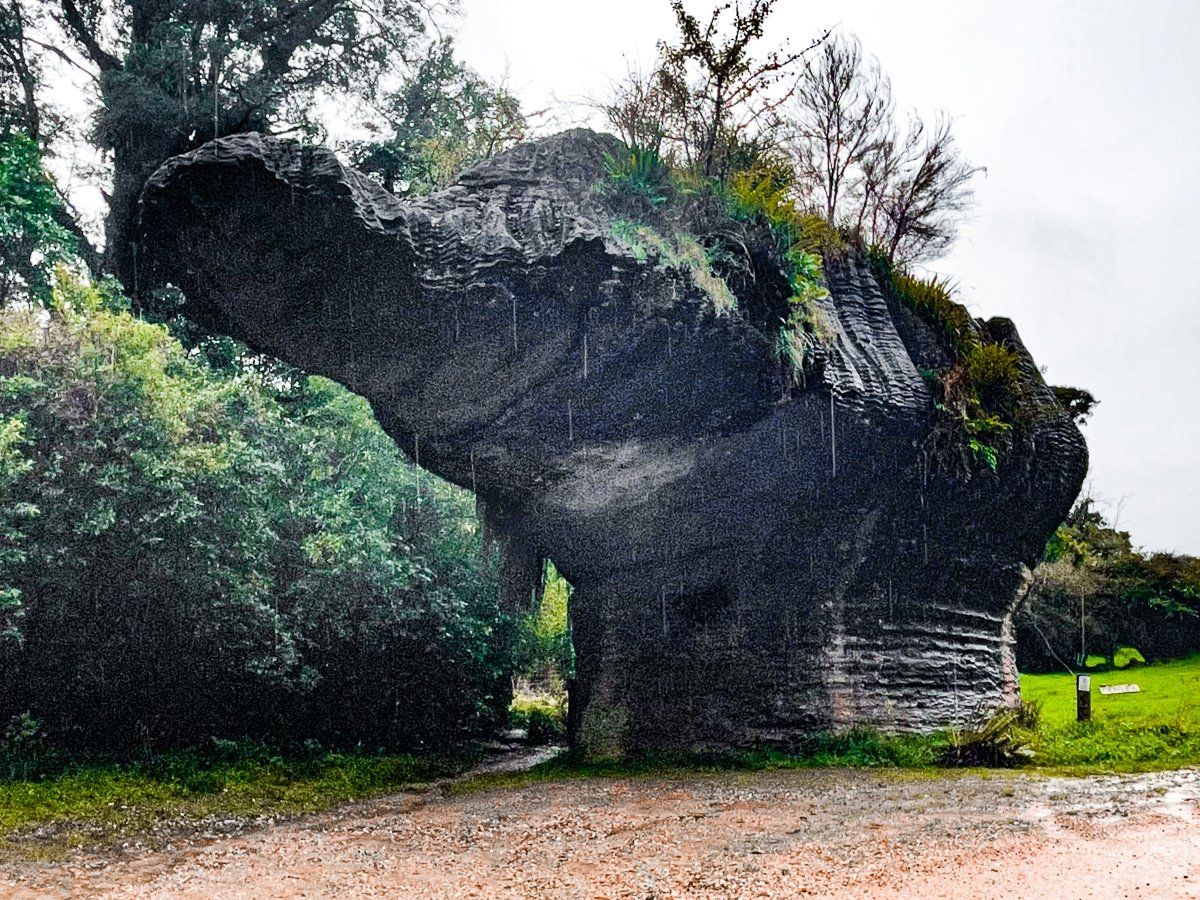
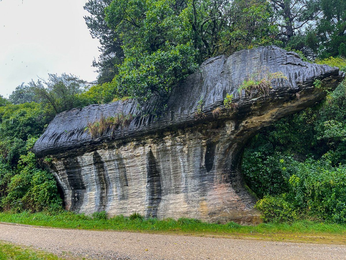
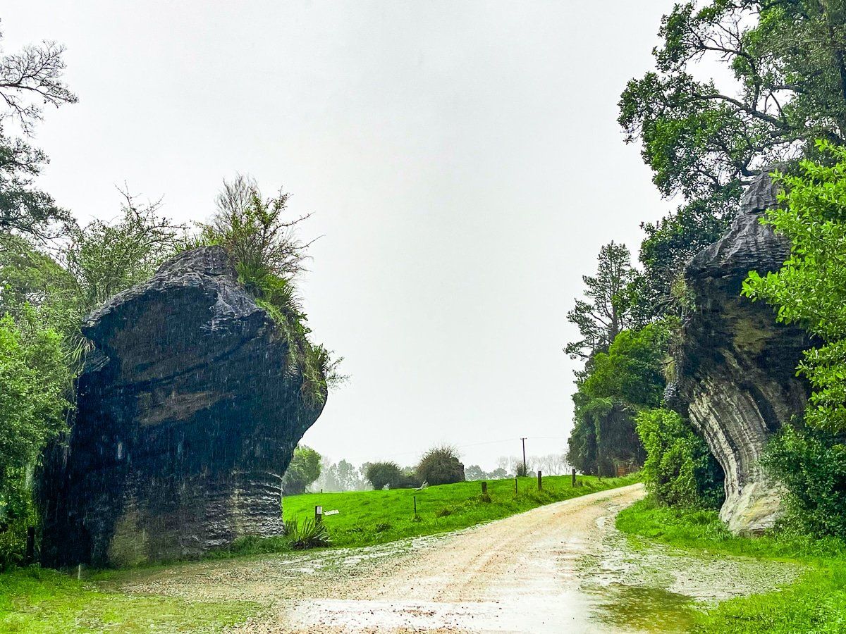
Devils Boots
Sometimes we look at a map and see a curious name, which we’re then compelled to visit. In this instance, we saw Devils Boots.
Devils Boots Road is a short but narrow metal road running alongside the Aorere River, which on the day was running very high. The road is accessible from Collingwood Bainham Main Road, and ends at the Aorere Goldfields Track.
About halfway along Devils Boots Road, you’ll see the boots. They are two rock formations, one on each side of the road, and are impressively like upside-down boots.
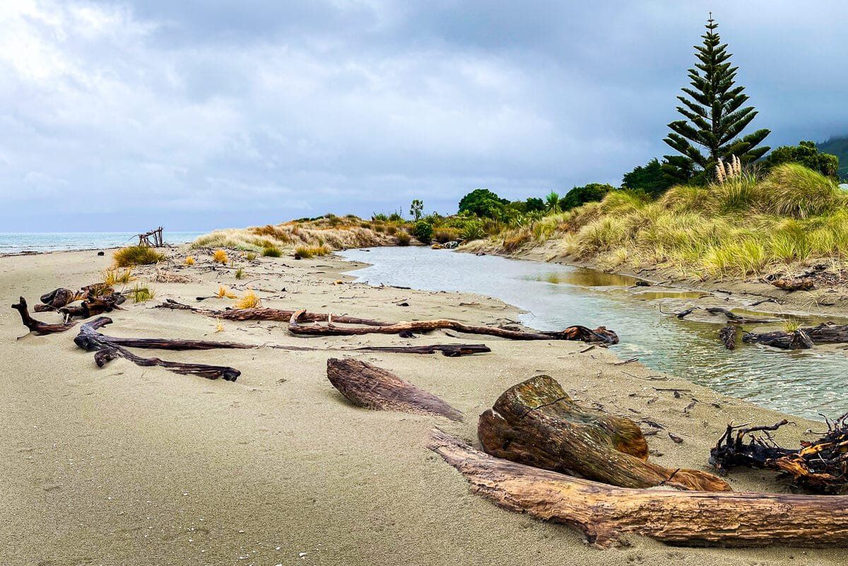
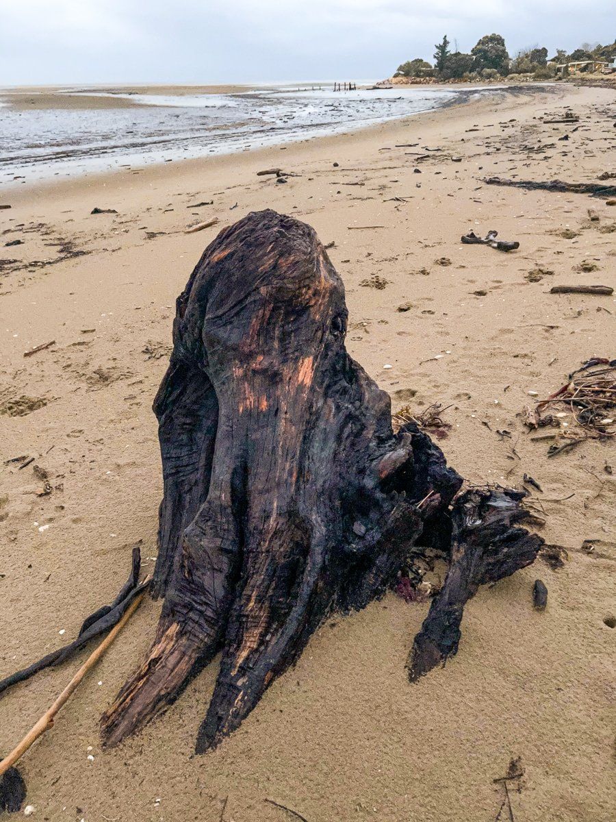
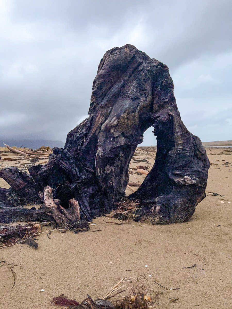
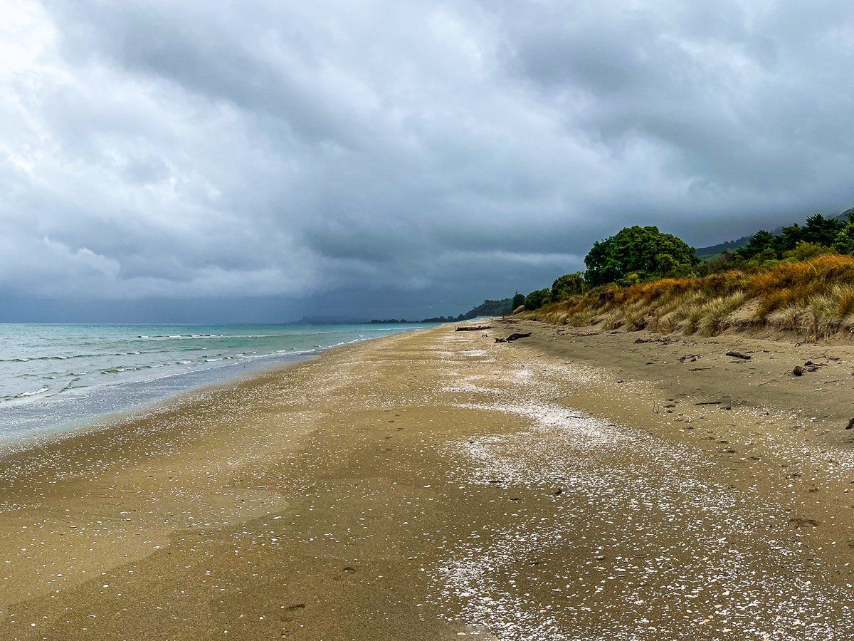
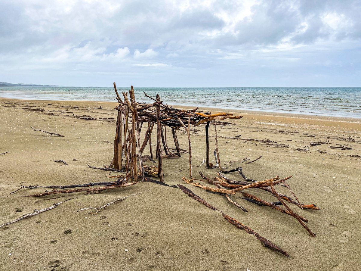
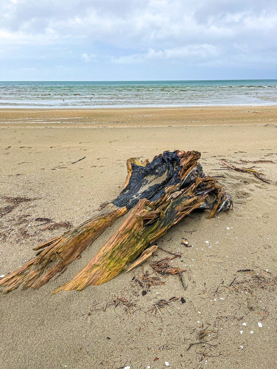
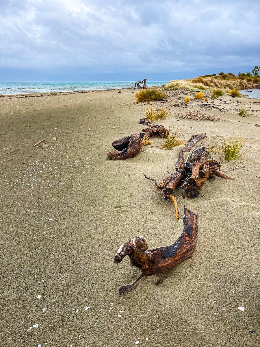
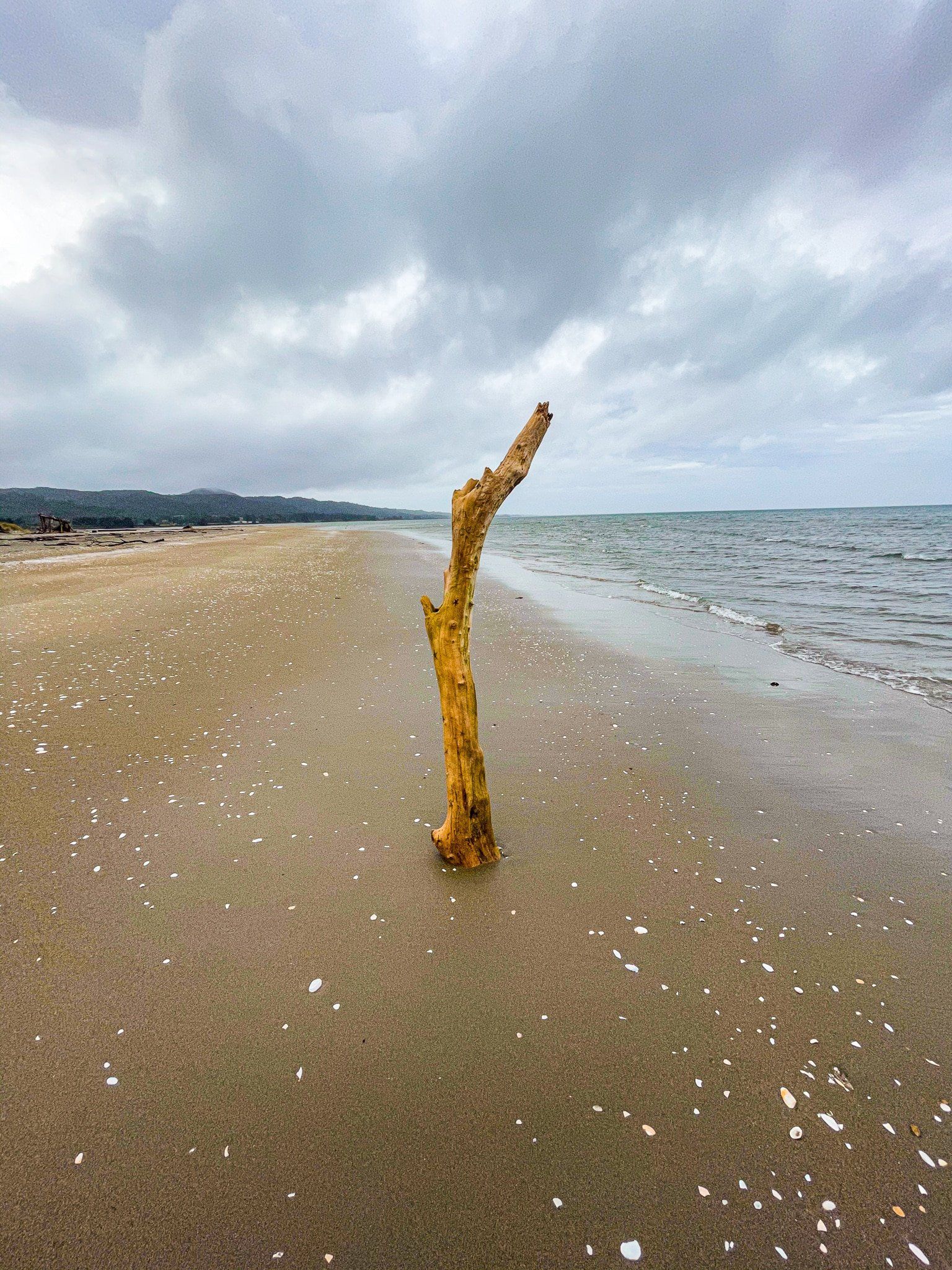
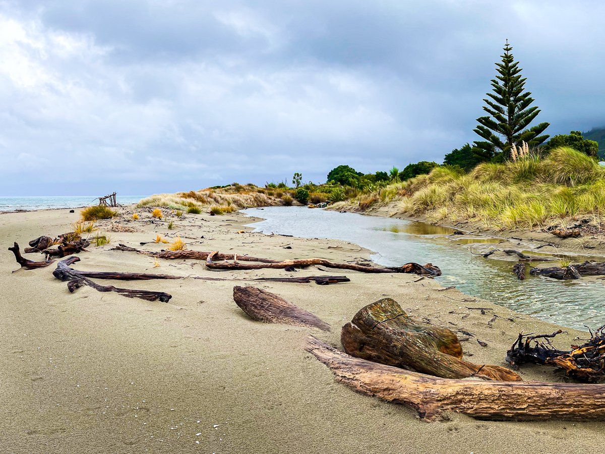
Taimatea Point to Tomatea Point
Place names in New Zealand can be downright confusing. The section of the main road north of Collingwood between Taimatea Point (the hamlet of Waikato) and Tomatea Point (the hamlet of Pakawau) is one such point of confusion. These names do not appear on Google Maps, but between them is a four kilometre-long beach, which has no official name… but is called Pakawau Beach on Google. In any event, you can access the beach from both Taimatea Point and Tomatea Point.
The weather had cleared a little when we visited, and the golden sand and driftwood were very pretty.
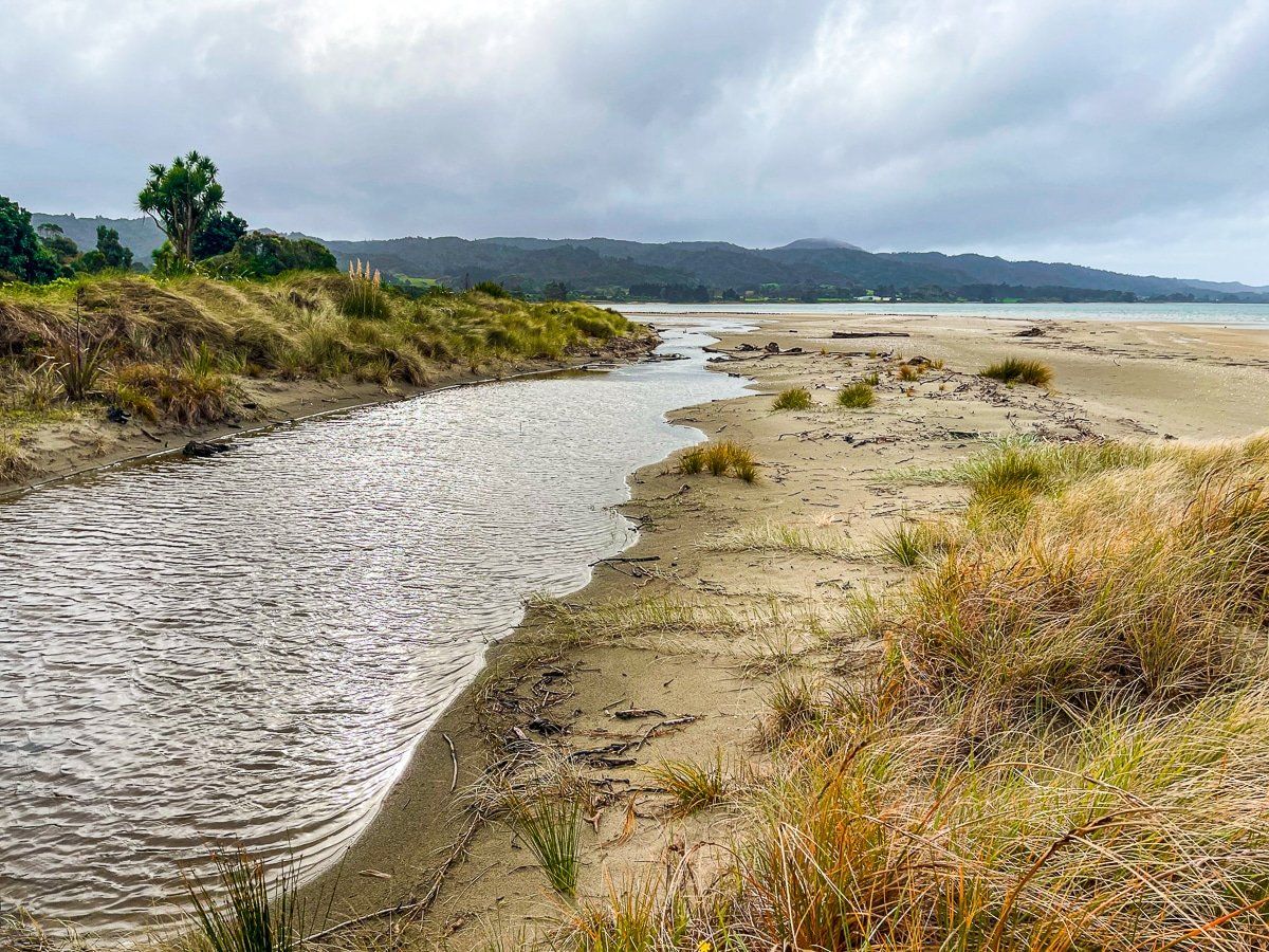
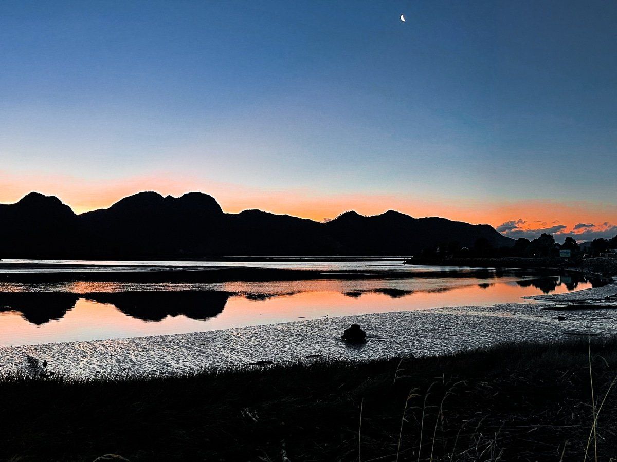
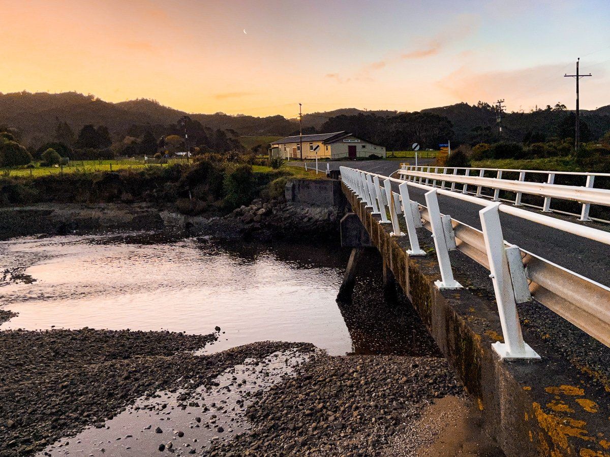
Pakawau Inlet
At twilight we drove across the bridge at Pakawau Inlet, just north of Tomatea Point. Finally, the sky was largely clear.
Just beyond the inlet, the main road continues on to Puponga and Cape Farewell. You can also turn left and toward the West Coast and Paturau River – one of the most remote drives in New Zealand.
Want more Golden Bay trip ideas?
Check out our recent posts on Abel Tasman Drive and Takaka Hill!