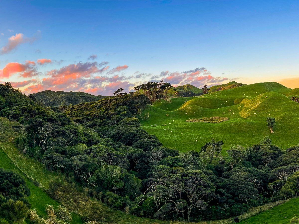
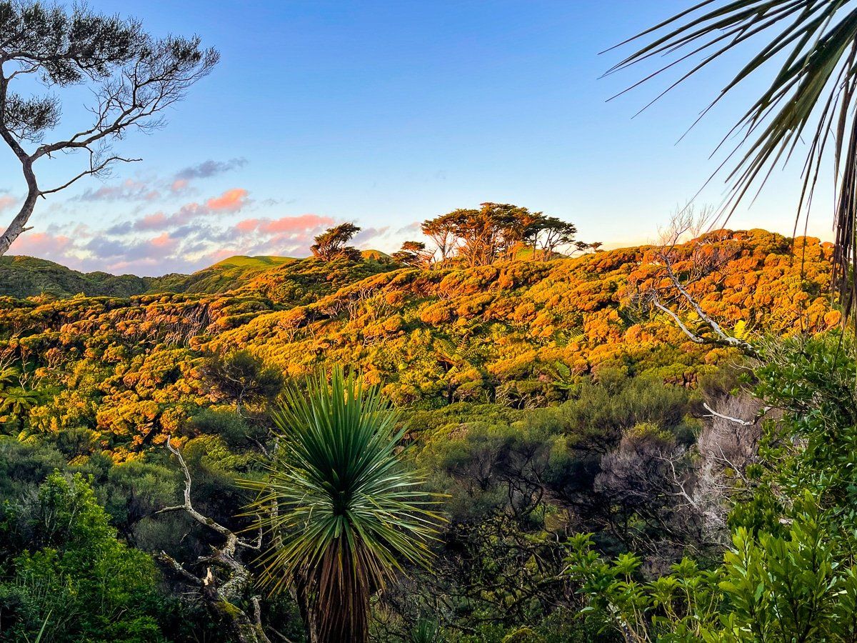
Cape Farewell is the northmost point of the South Island, and the surrounding area is one of the most beautiful coastal regions of New Zealand. To the east of Cape Farewell are the isolated, wild beaches of Fossil Point and Farewell Spit, while to the southwest there is Wharariki Beach, one of the top beach walks in the country.
To get to Cape Farewell, take Golden Bay’s main highway from Collingwood to Puponga. From there, you can go right for Farewell Spit and the Fossil Point Track, or left along the metal road to Wharariki Beach, just beyond the commercial campground. Access to Cape Farewell is one kilometre before the campground.
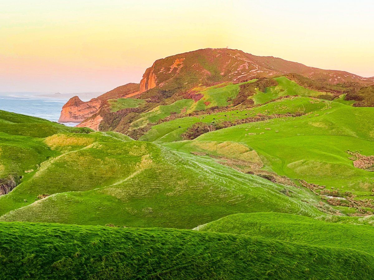
There are several walks and hikes in the area, the longest of which takes you over the hills and along the cliffs that sit between Farewell Spit and Wharariki Beach. Shorter walks (about 30 minutes each way) provide access to the Tasman Sea beaches.
Puponga
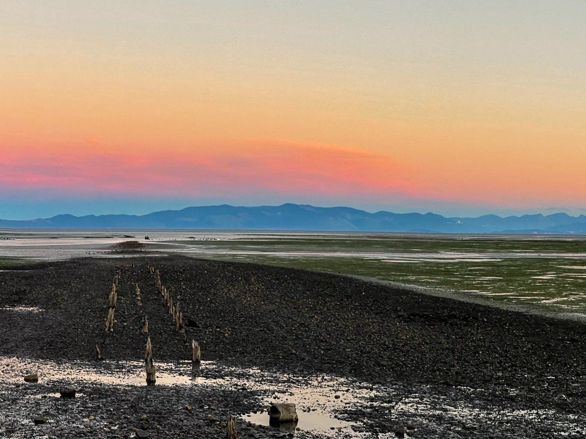
At the northern edge of Golden Bay, where the main highway ends, lies Puponga Point and Port Puponga. There are a few houses, and the remains of a wharf can be seen at low tide as a reminder of a more industrial past.
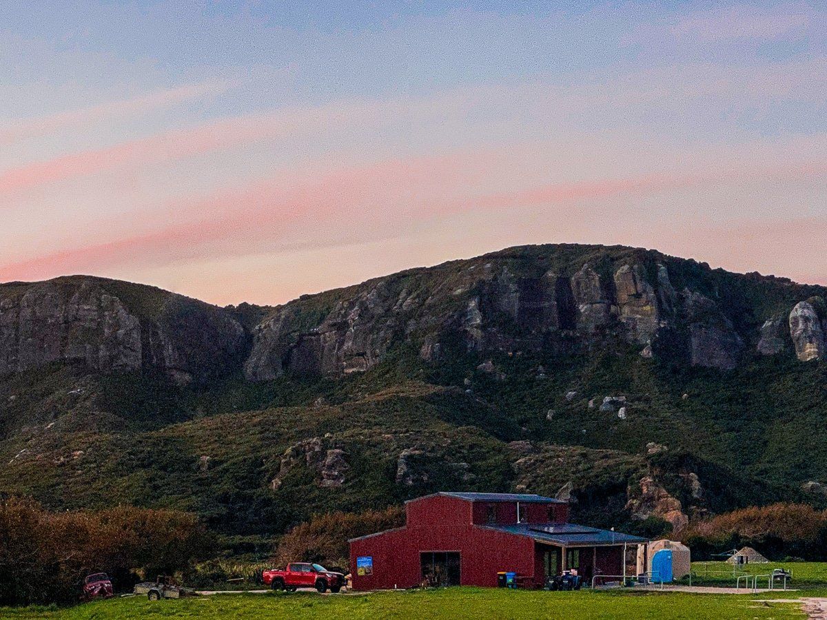
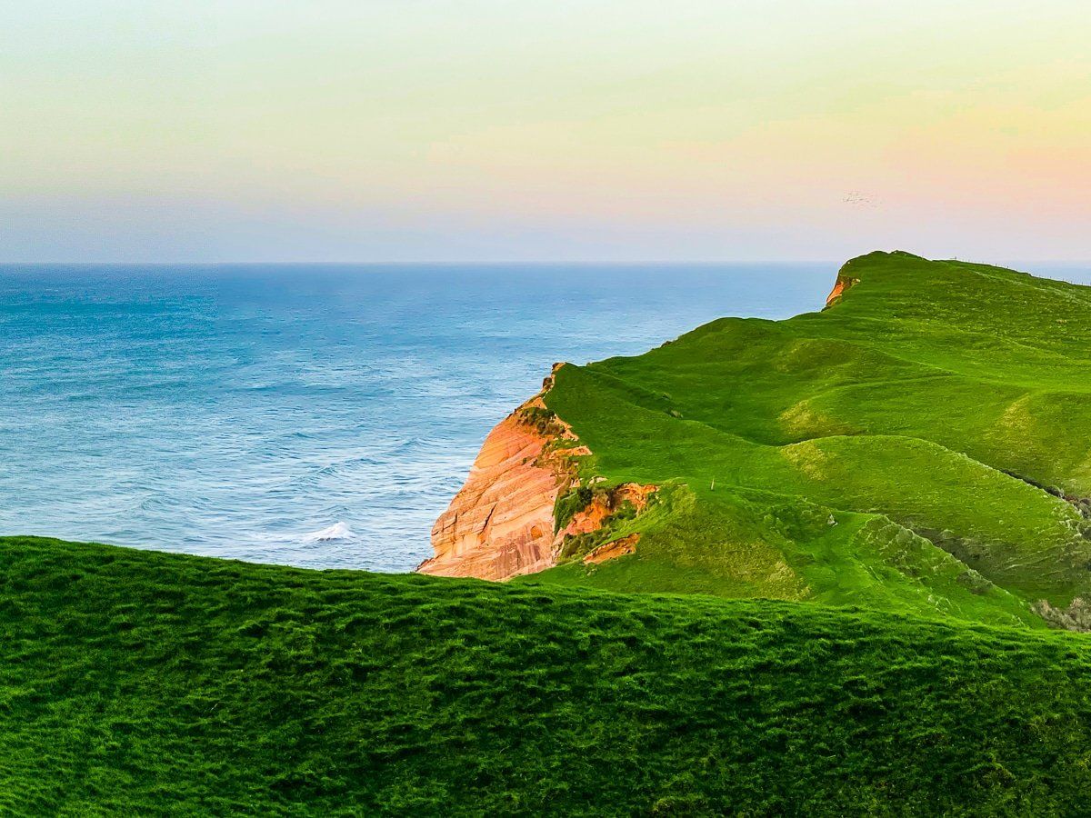
If you turn left onto metal Wharariki Road from the main highway, you’ll reach the hamlet of Puponga. The cliff to the northeast is spectacular; part of the Puponga Hilltop Track, which connects Farewell Spit to Wharariki Beach via Cape Farewell, runs along the top of this cliff.
Fossil Point Track to Ocean Beach and Farewell Spit
At the end of the main highway at Port Puponga, turn right for Farewell Spit. After one kilometre there’s a large parking area next to the Farewell Spit entrance. Park and walk directly across the farm on the marked trail for about thirty minutes, until you reach the north side of the spit and Ocean Beach facing the Tasman Sea.
As you approach the beach, you’ll see a connecting track for the Puponga Hilltop Track – you can also access this track directly from the car park. You can follow a loop around the western end of the spit to Fossil Point, which is between 90 minutes and 3 hours depending on how far you go before you cross over to Ocean Beach.
Ocean Beach and Fossil Point
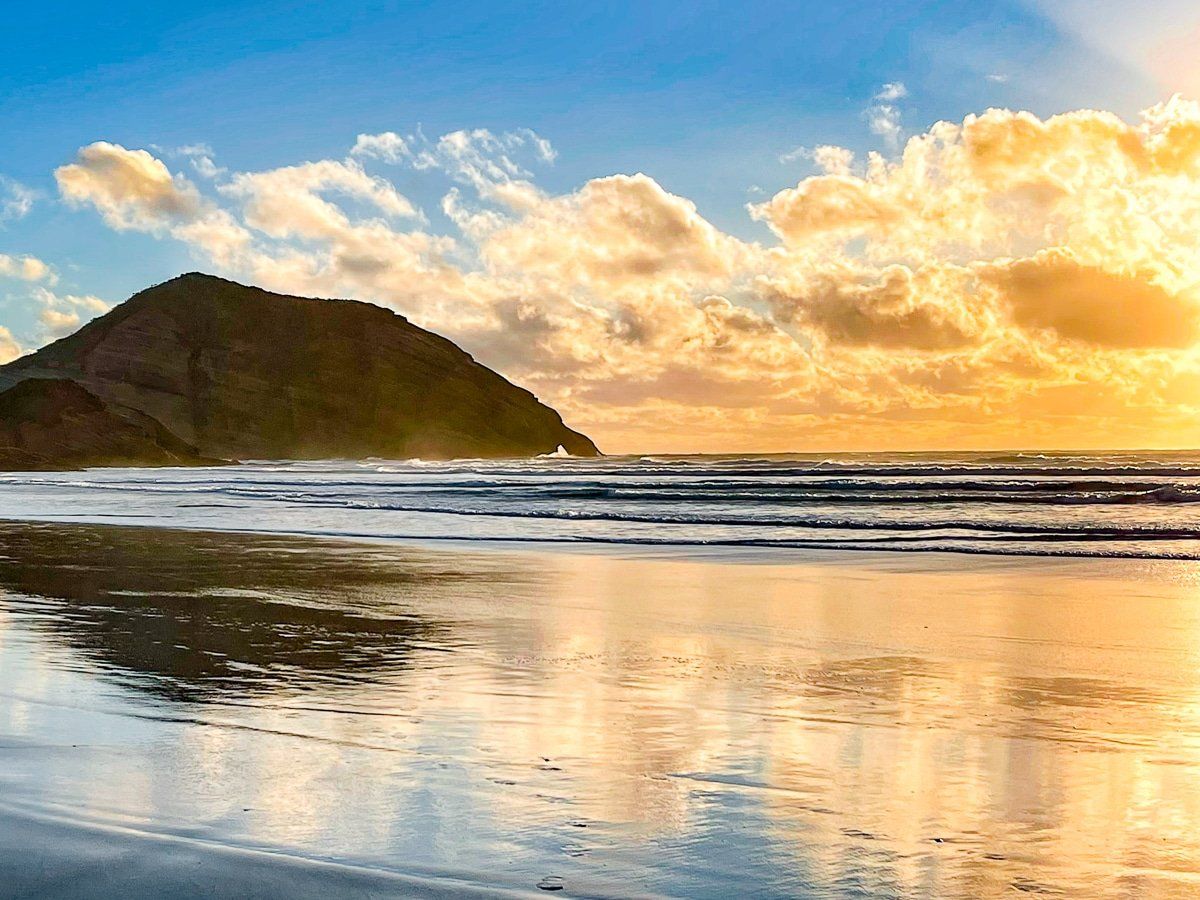
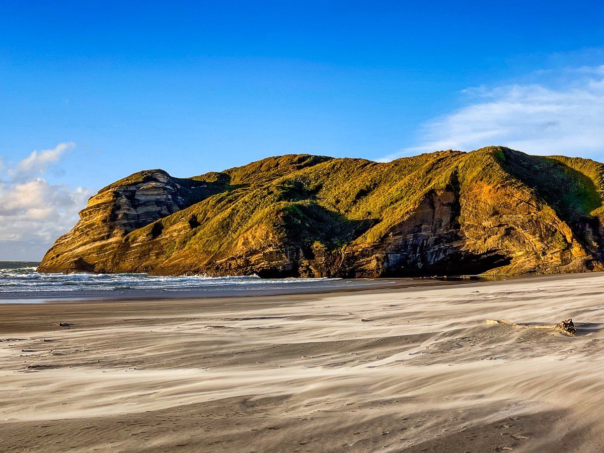
Ocean Beach is a long, remote, spectacular beach, fringed by sand dunes covered in grass and native scrub.
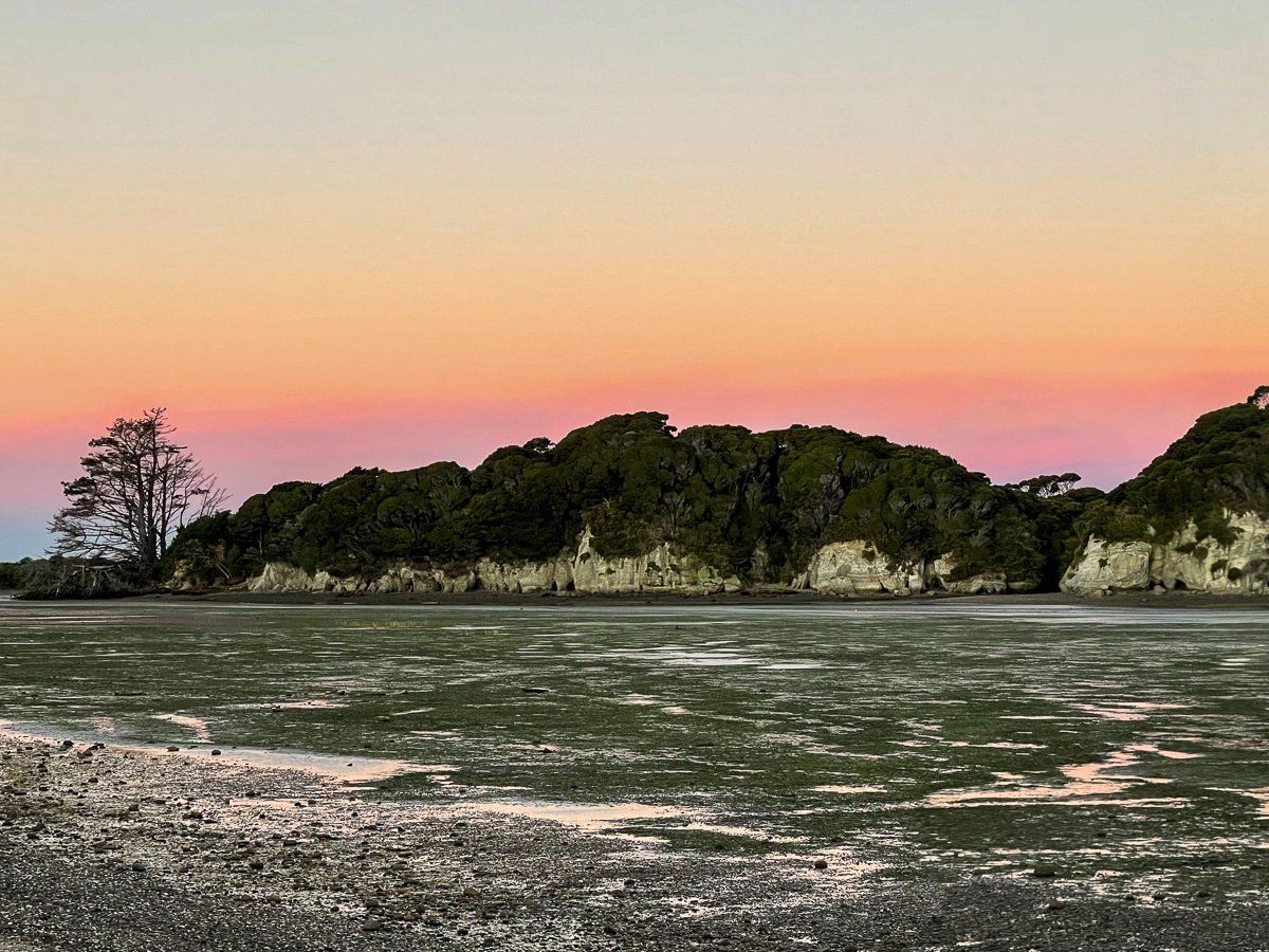
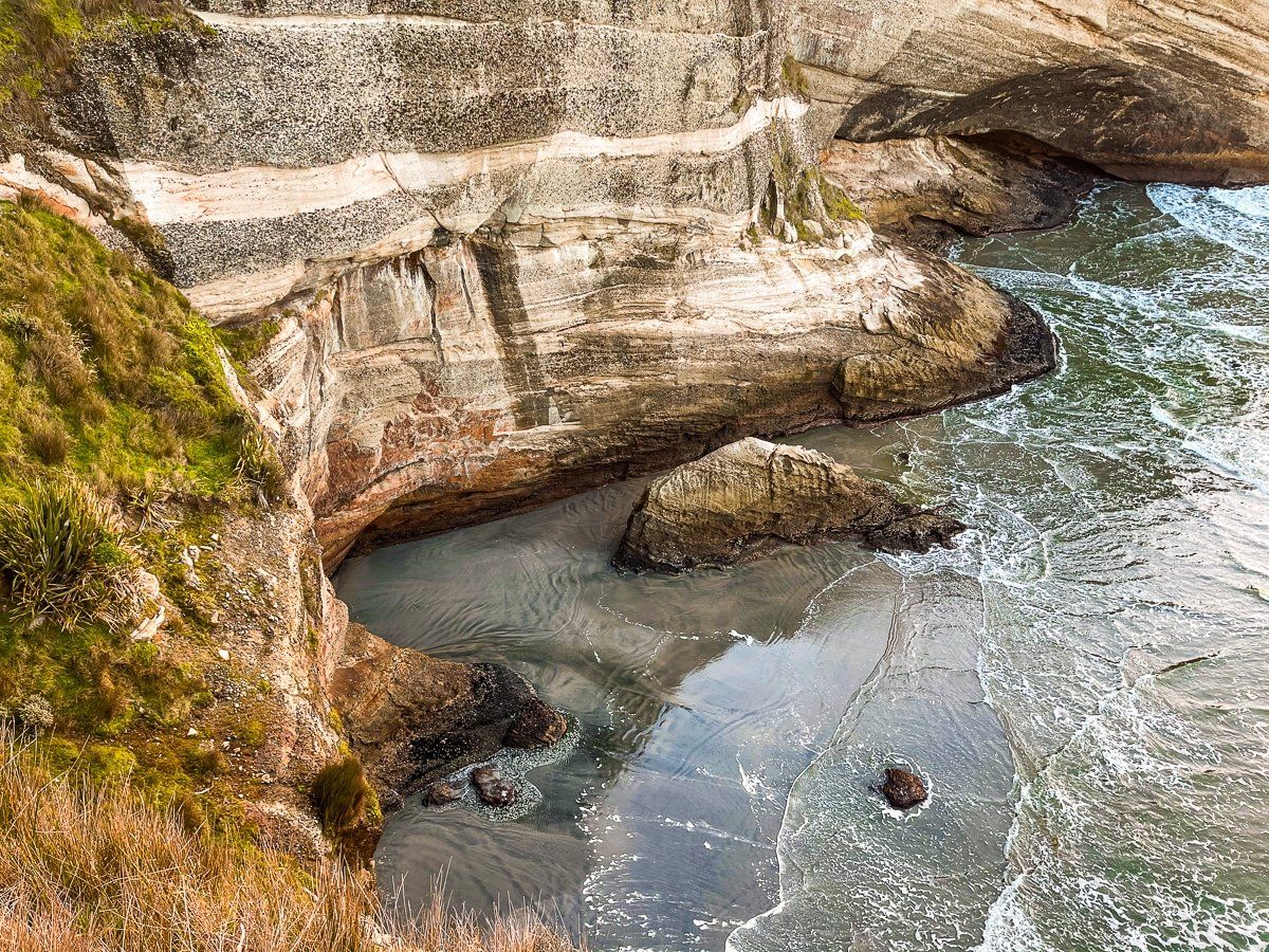
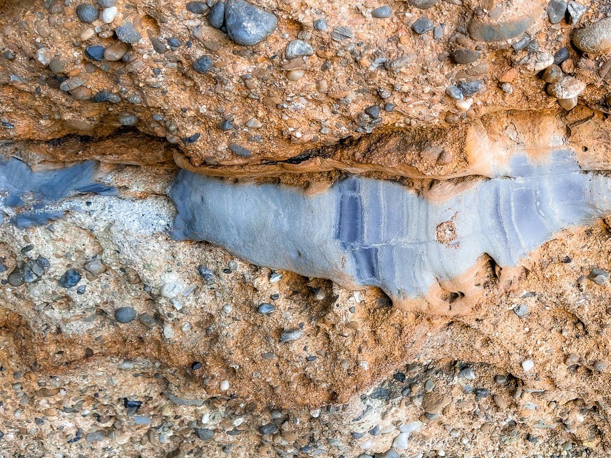
Cross the stream and head toward the cliffs at the east end of the beach. Below the cliffs is Fossil Point, a flat dark rocky outcrop. Some of the rocks immediately below the cliff are even more interesting, having been carved by water and wind into a range of organic shapes.
Cape Farewell
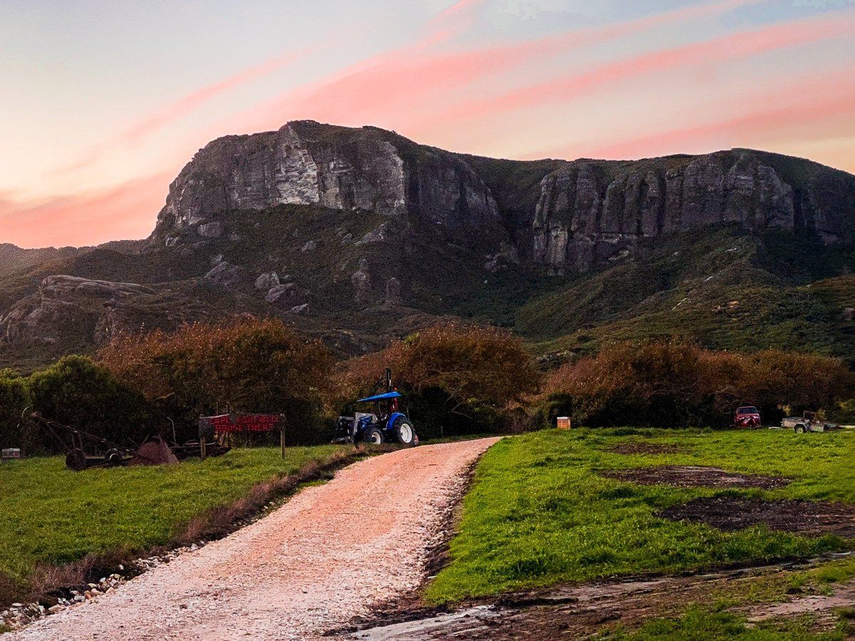
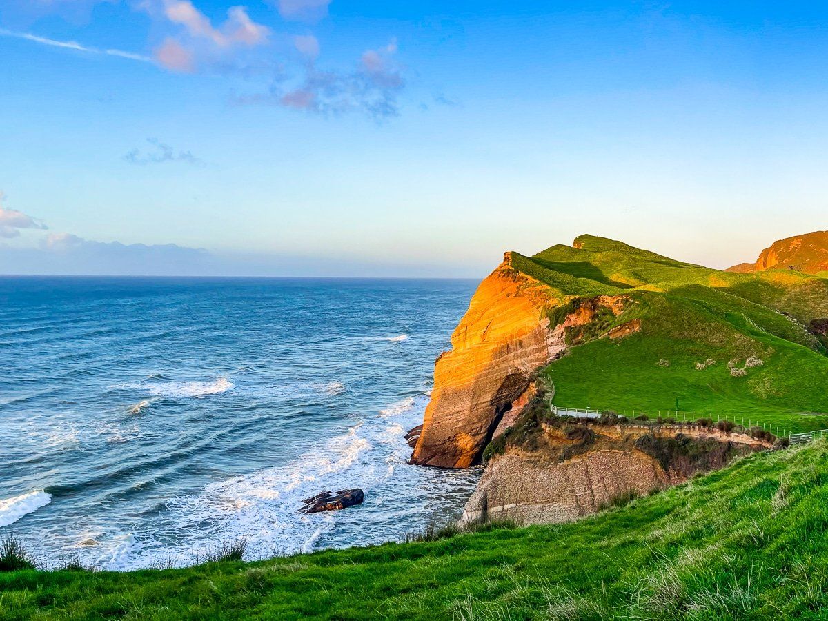
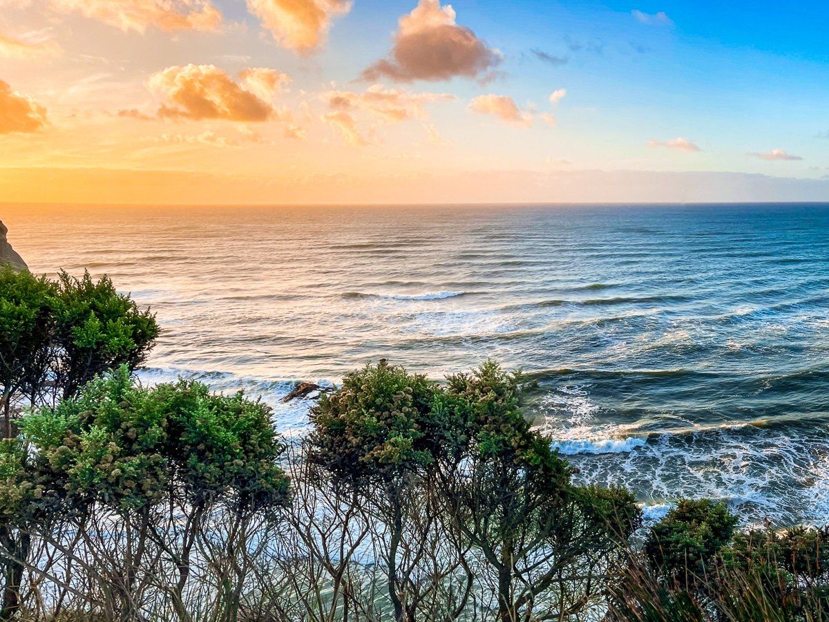
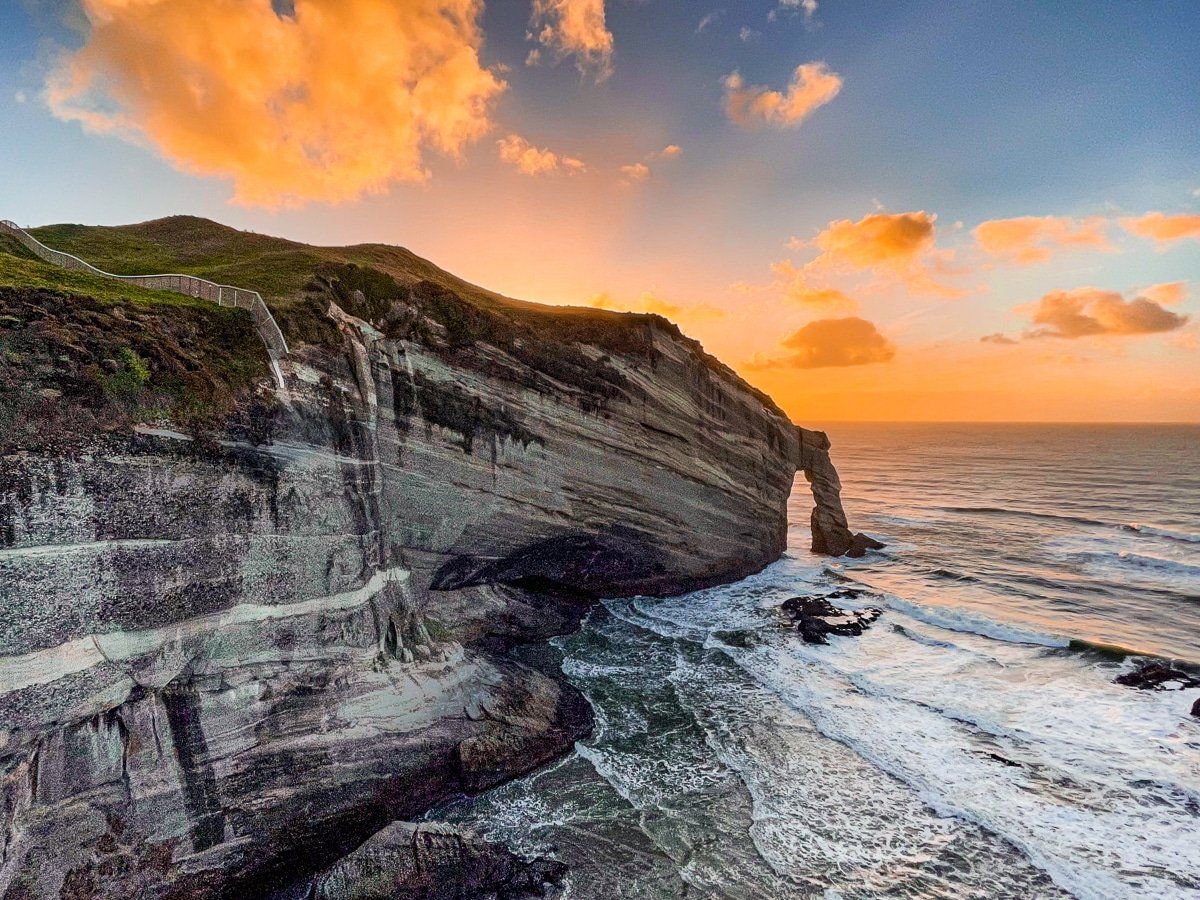
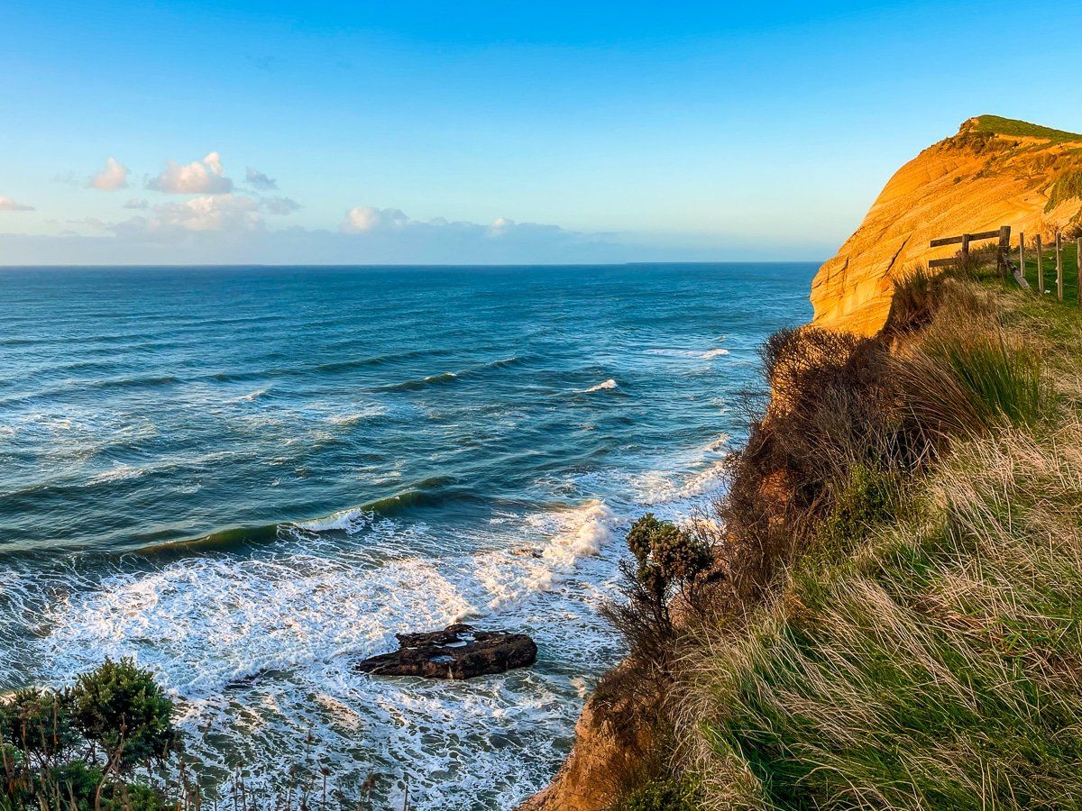
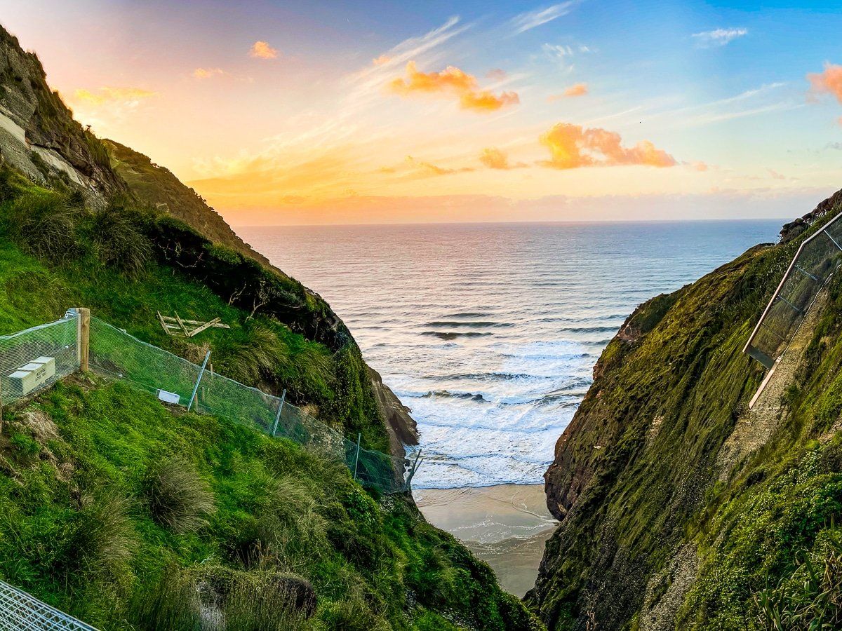
The road to Cape Farewell is signposted 4 kilometres along Wharariki Road from Puponga. The kilometre-long access road is marked as a 4WD track, but we had no trouble with a 2WD car. Once you park it’s a short walk over farmland and grassed reserve to reach the cliff edge, and the stunning view of the coast and Tasman Sea.
There’s a safety fence around the viewpoint, but you do need to be careful if you wander further along the cliff edge. If you do climb to the right, be mindful that there is an electrified predator fence.
From here, head to the right for the Pillar Lighthouse, or left for a steep uphill climb before dropping down to Wharariki Beach. The Puponga Hilltop Track also runs past Cape Farewell, so you can start the walk here if you prefer a shorter variation.
Wharariki Beach
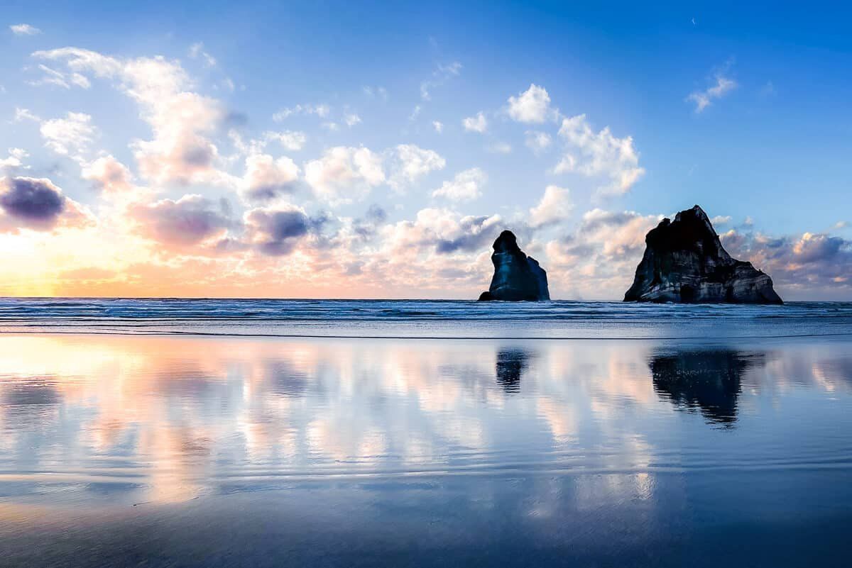
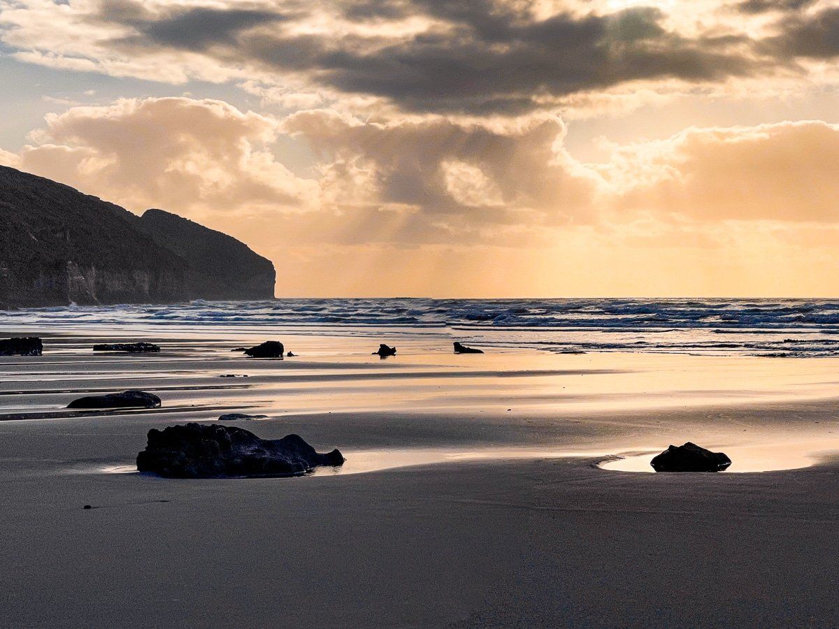
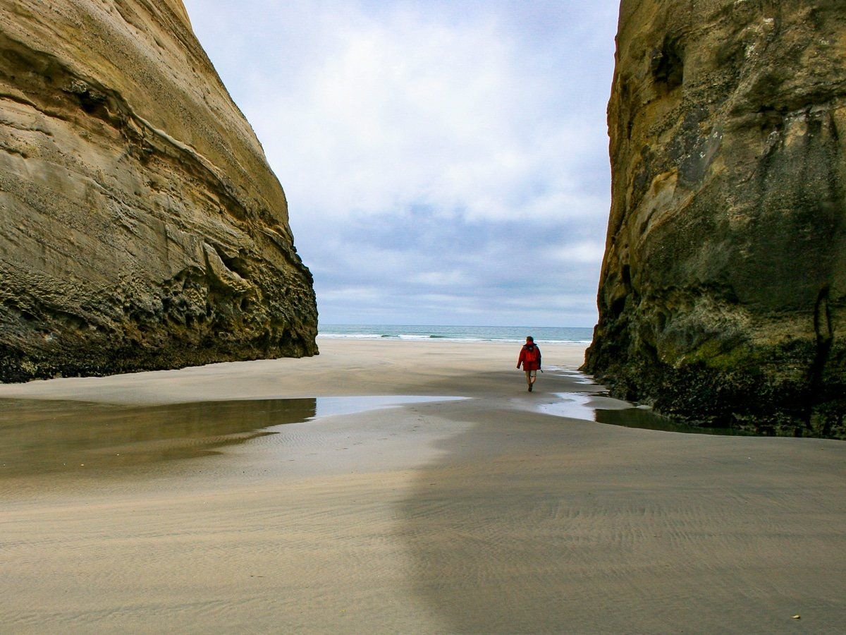
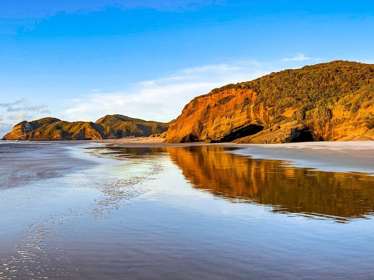
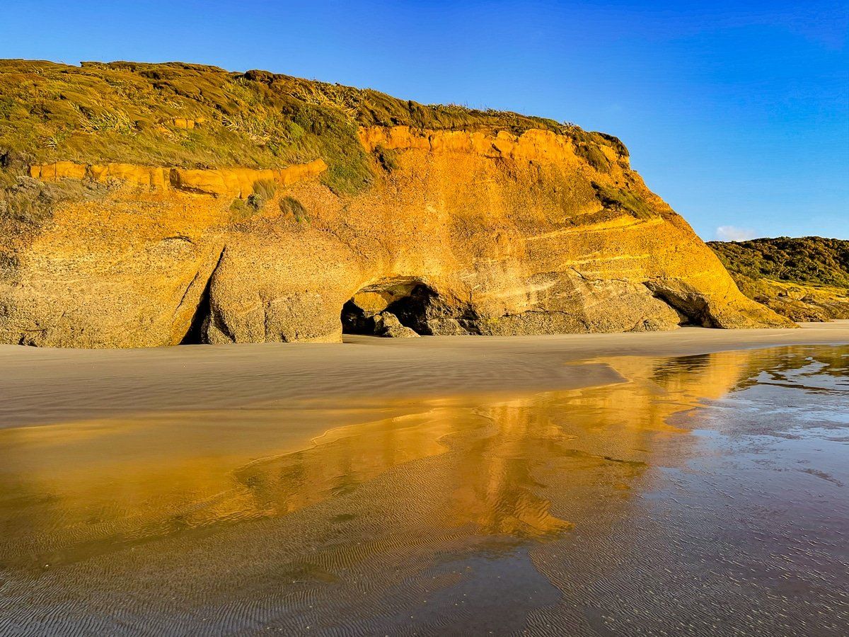
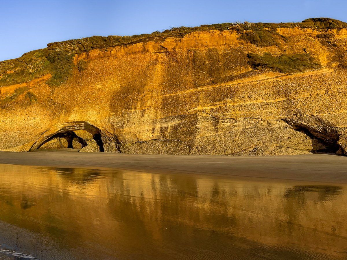
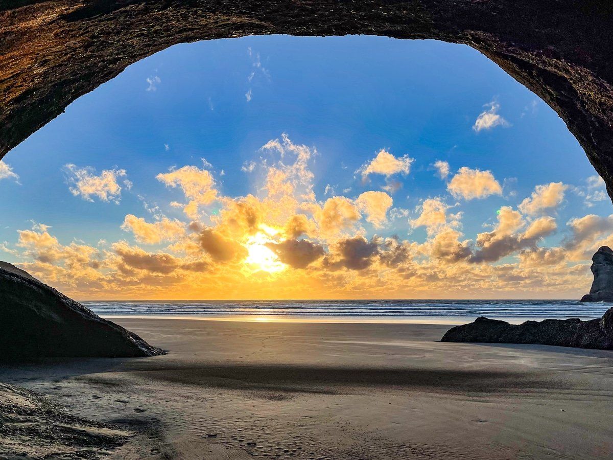
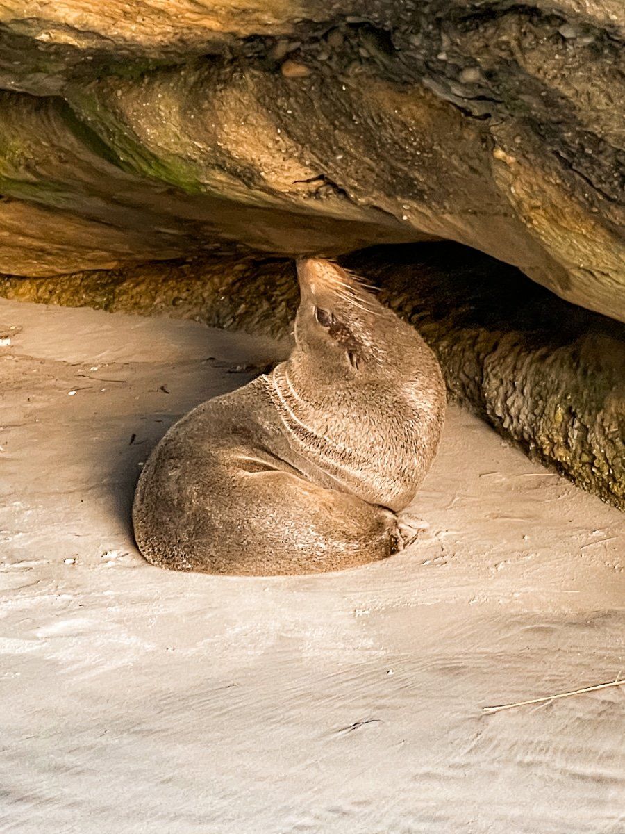
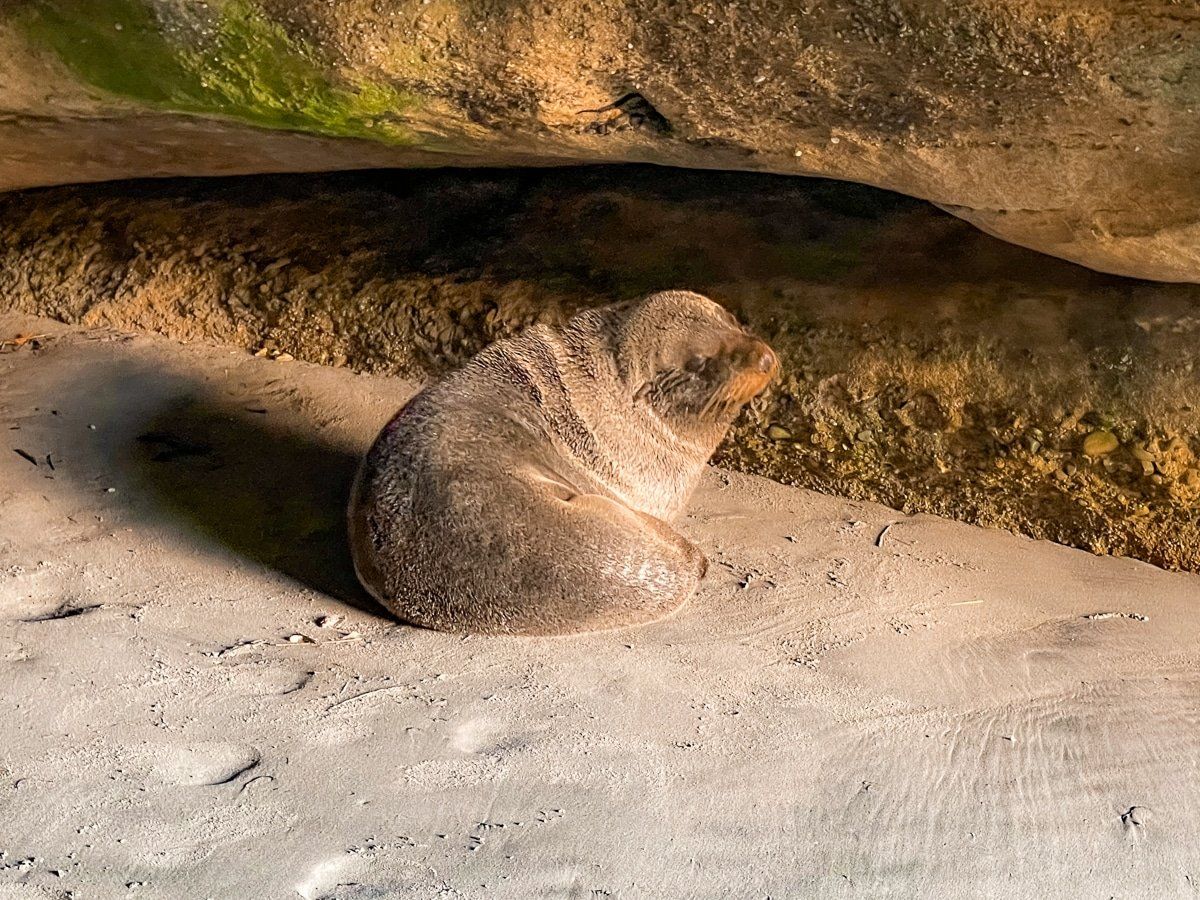
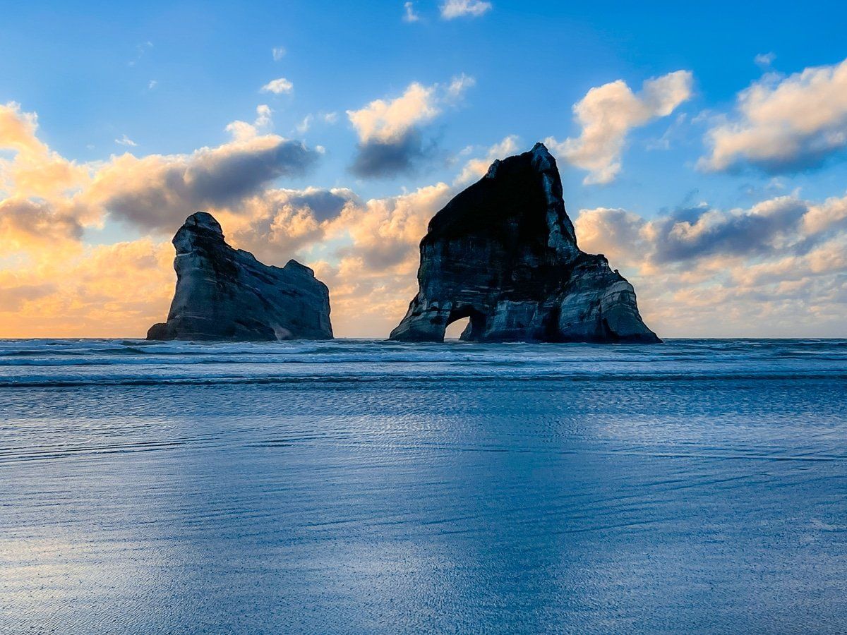
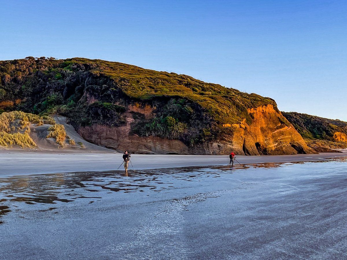
Wharariki Beach is exceptional. Across three kilometres of beach there are numerous natural arches, caves, colourful cliffs, fossilised shells, seals, and the exceptional Archway Islands. There is a beautiful loop walk across farmland, then along the beach and sand dunes. We recommend visiting for a full day for the complete loop, and trying to visit at sunset during low tide.
Wharariki Beach Track
Drive to the end of Wharariki Road and park in the car park beside the modest commercial campground.
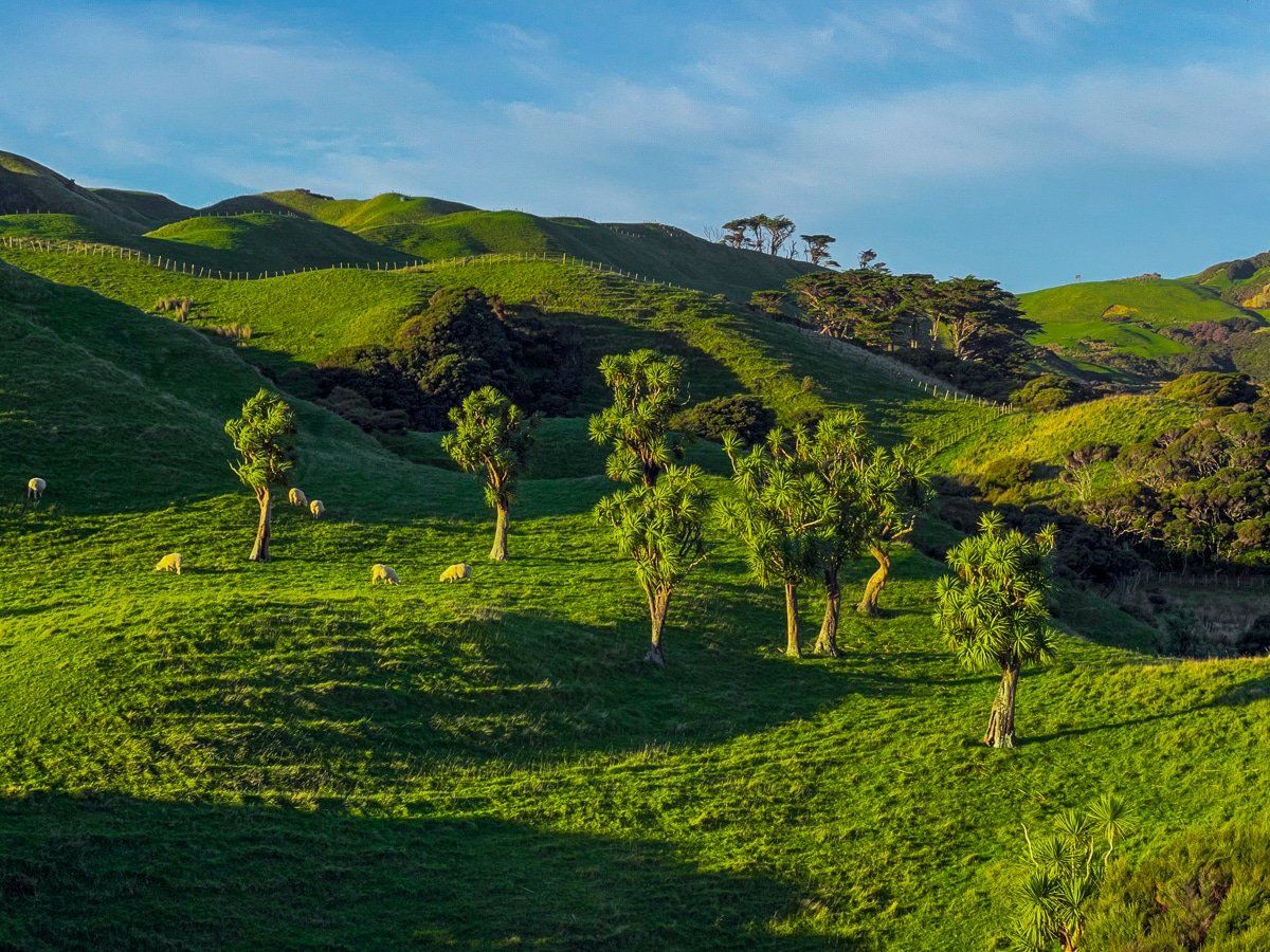
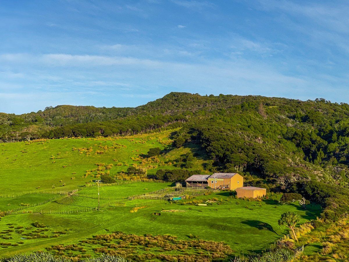
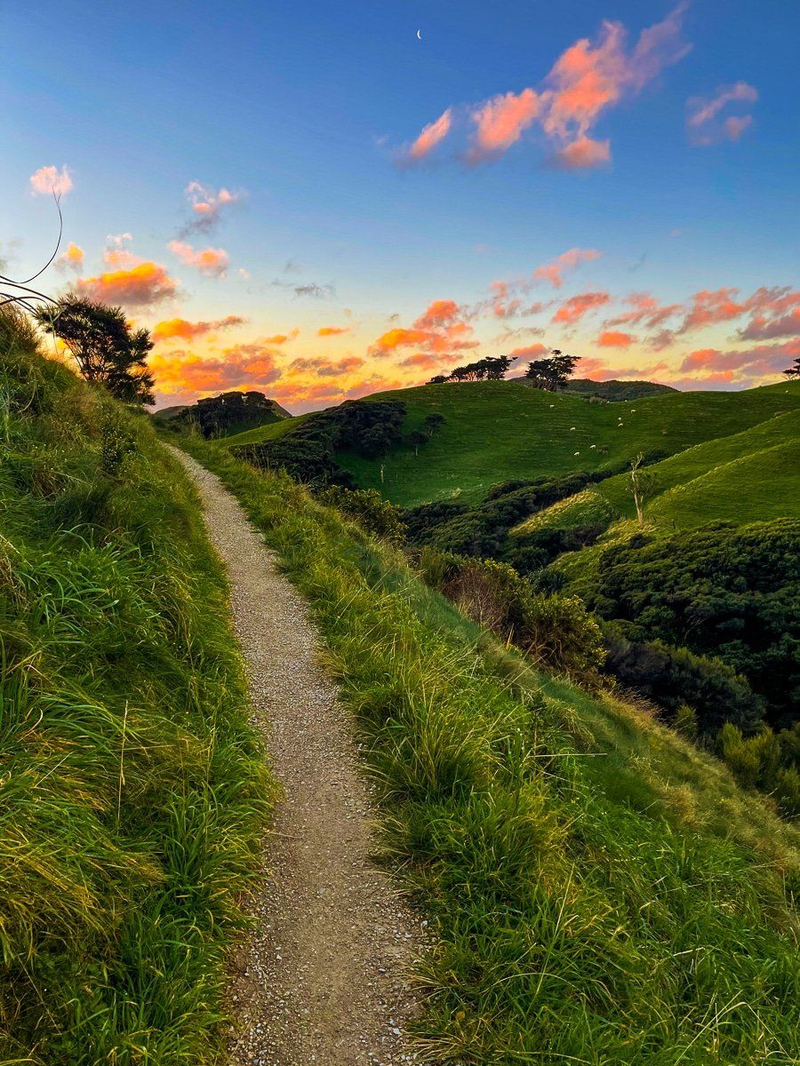
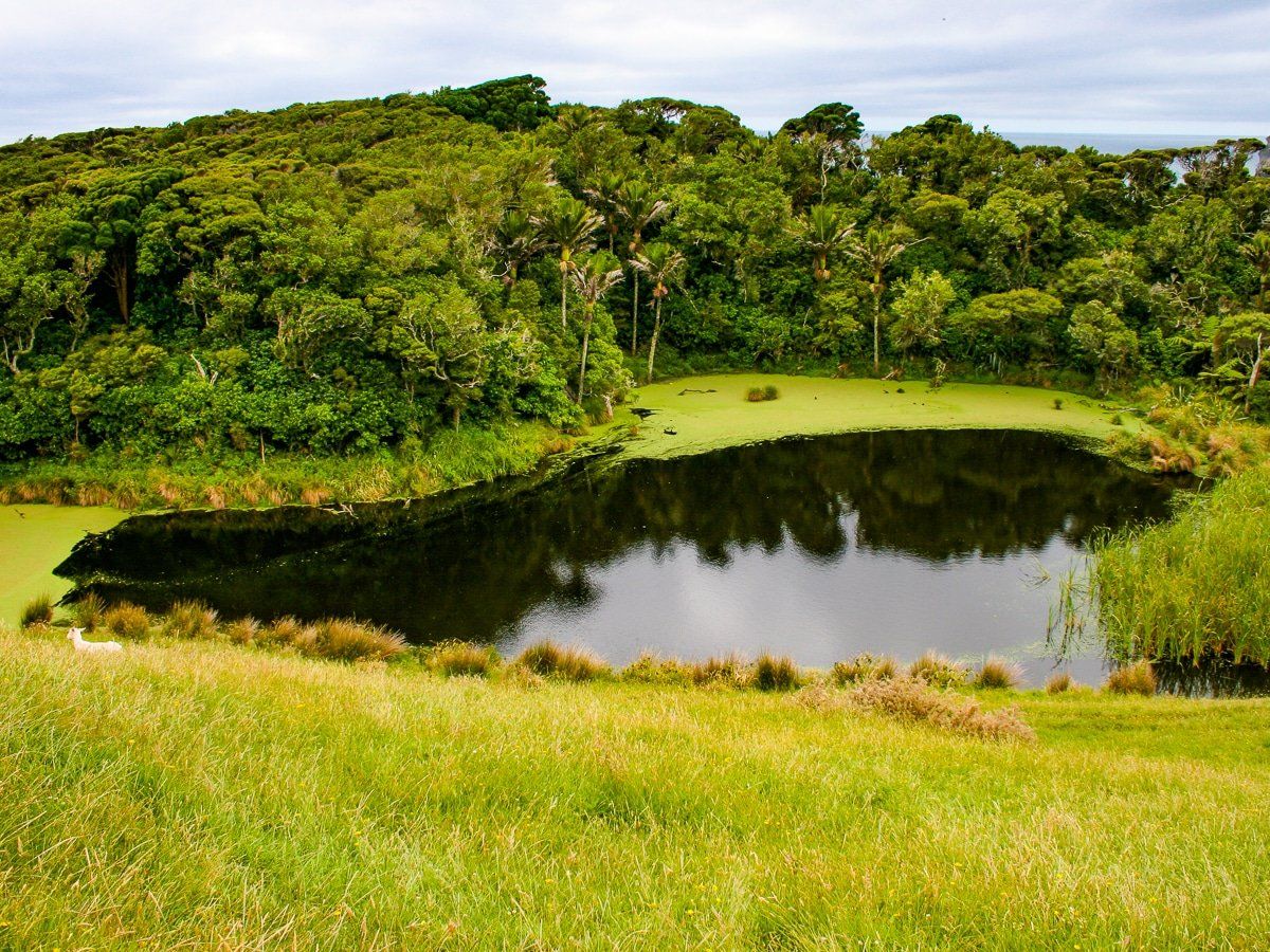
From the car park you can walk north for about 30 minutes across hilly farmland to the eastern end of the beach, or walk west along a farm track, past a small lake, then to the western end of the beach. Walk along the beach to complete the loop – it takes about two hours at a dawdle. Highlights include elevated views of the Archway Islands and the lake.
If you take the farm track to the west, you can continue onto the Greenhills Loop Track. This extends the walk by another 2 hours or so.
Wharariki Beach: Sand dunes
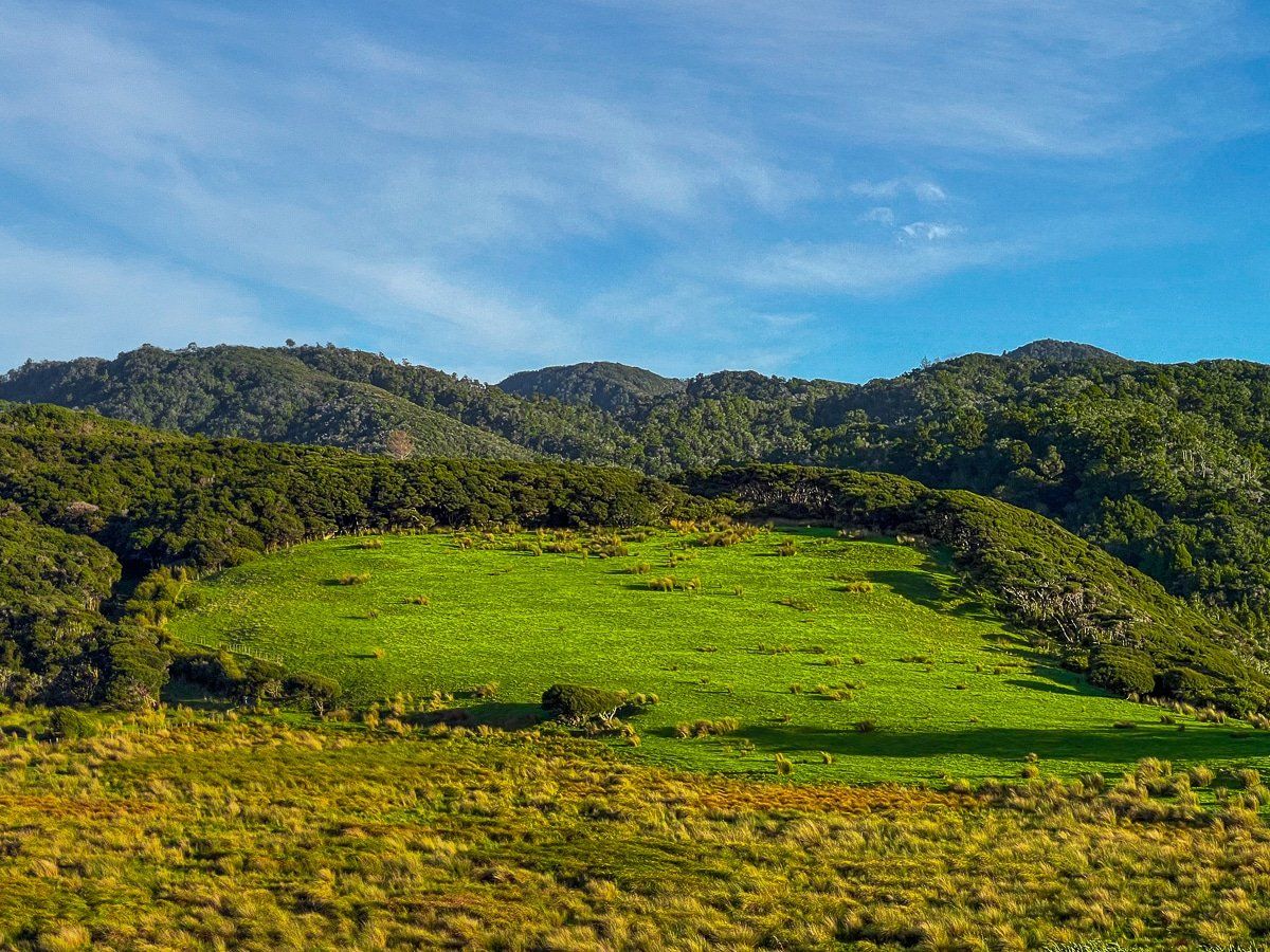
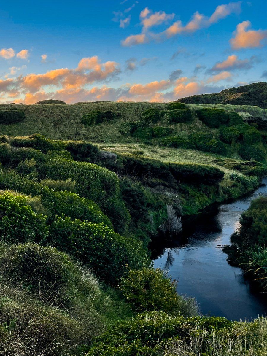
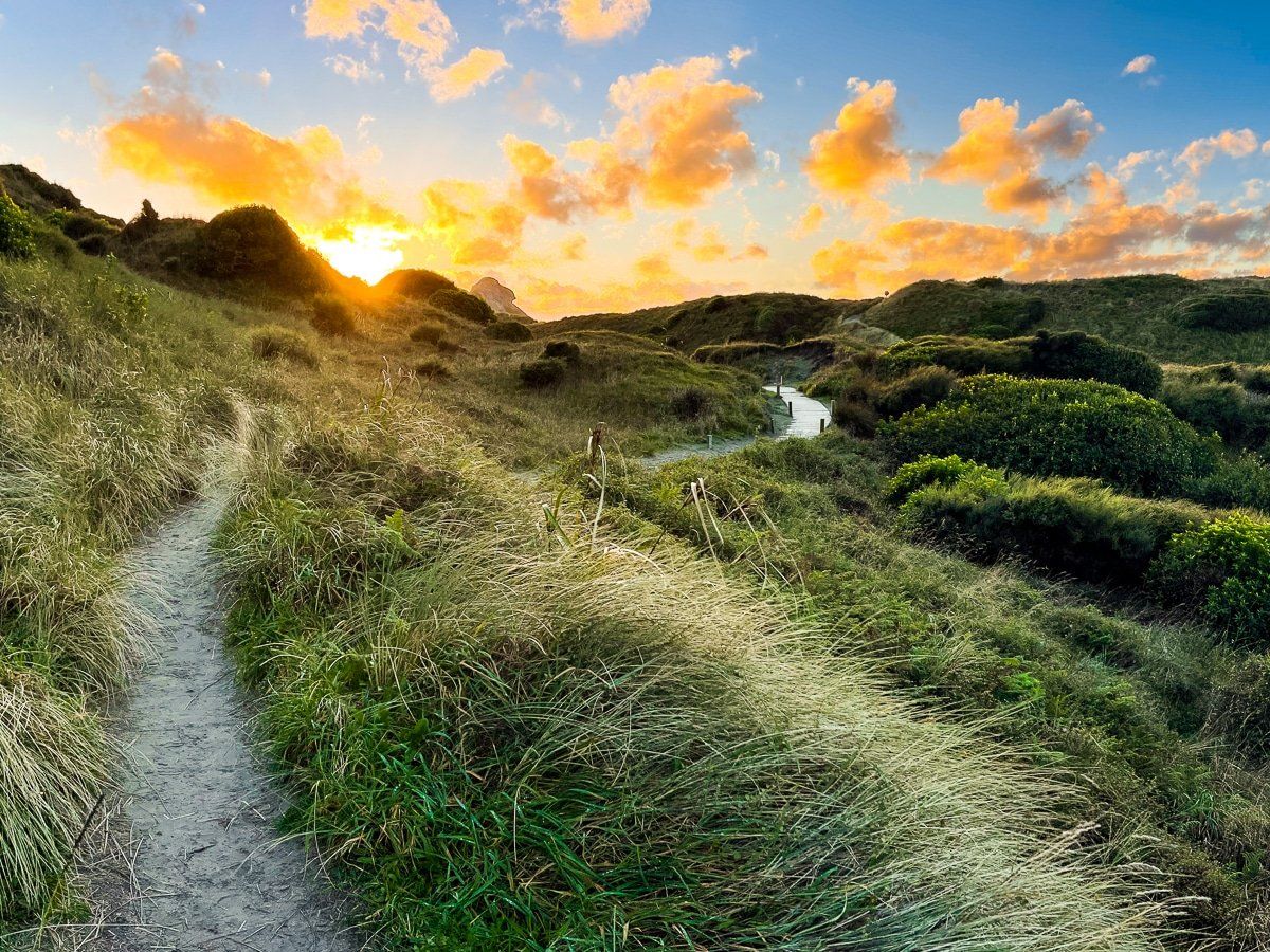
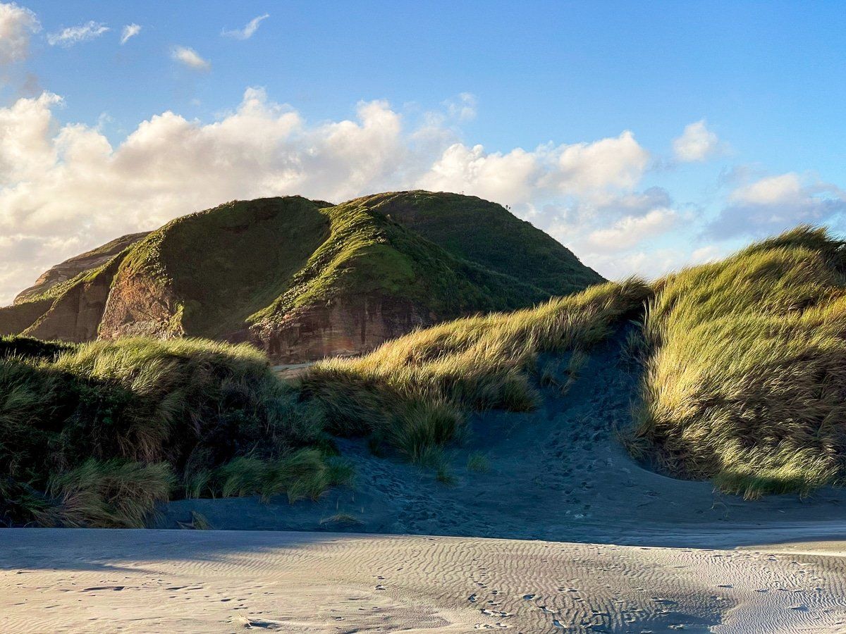
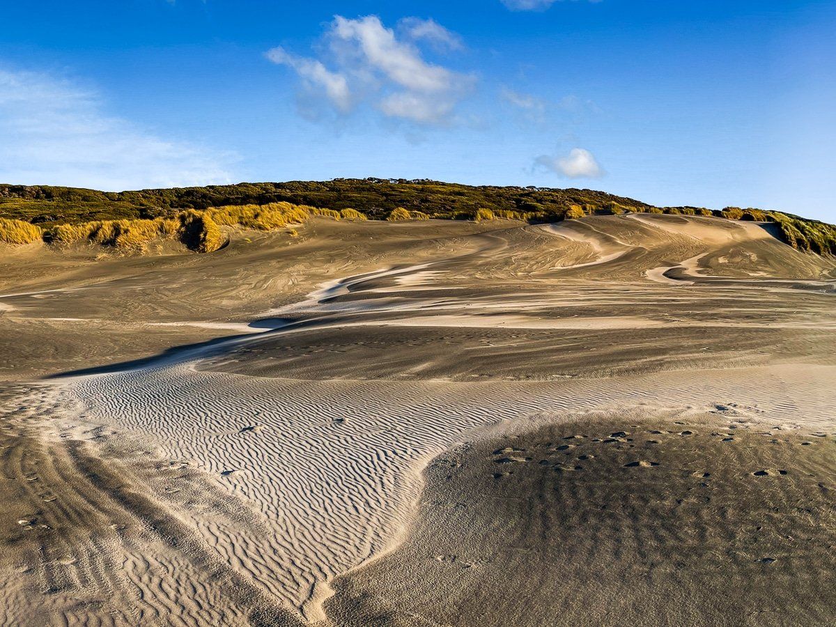
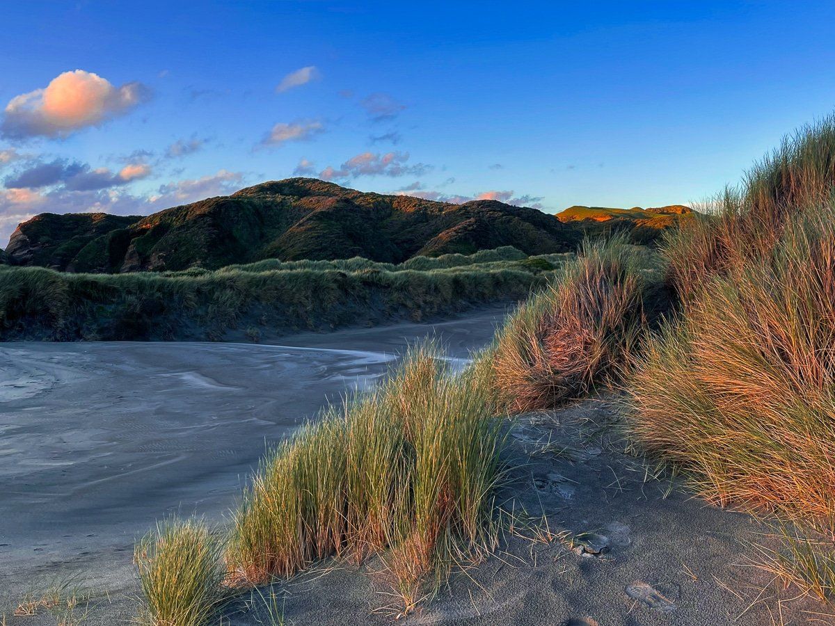
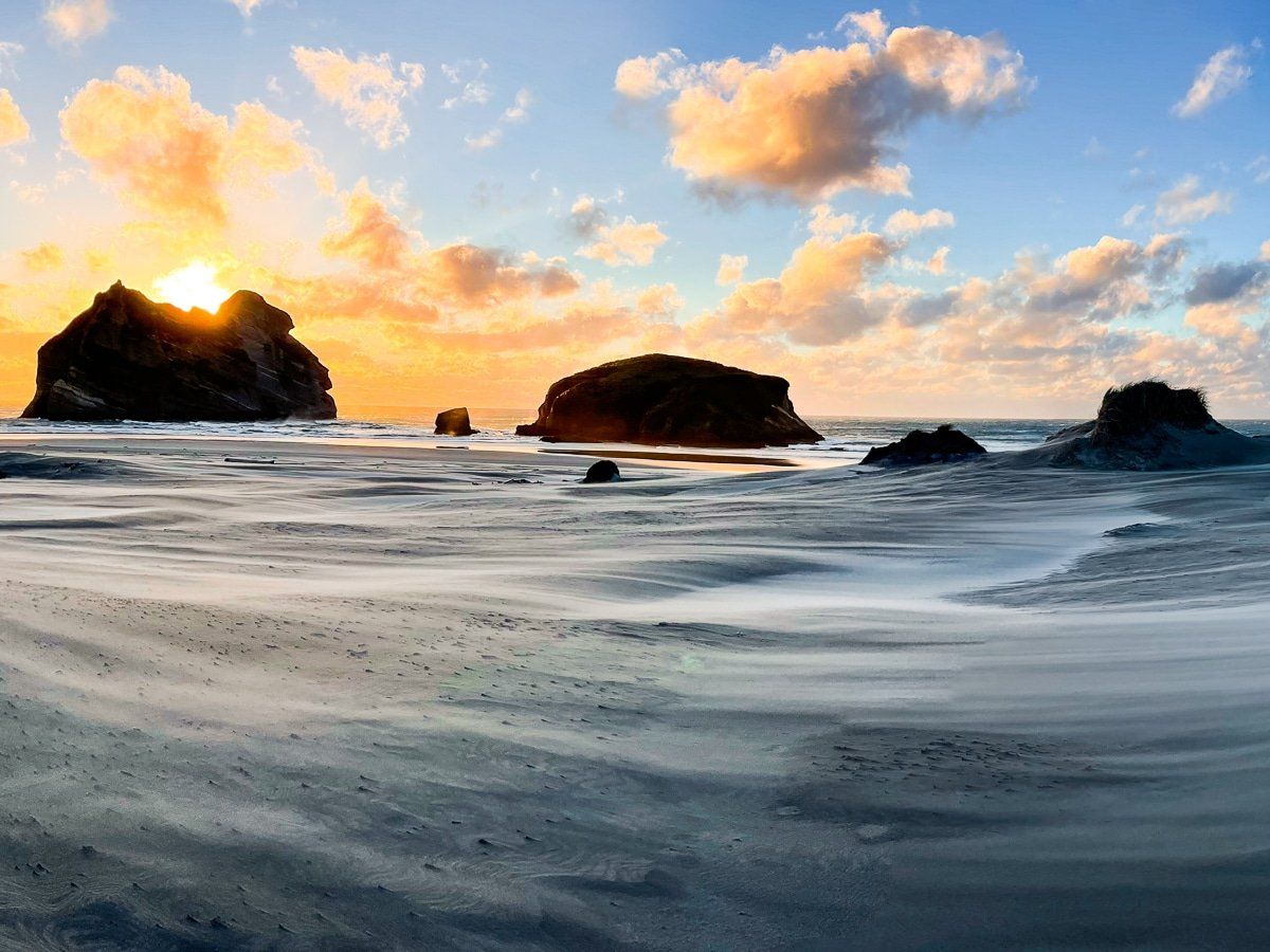
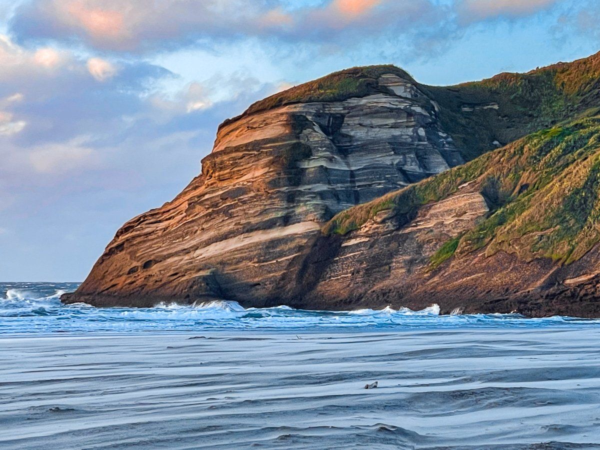
If you take the 30 minute northern track to the beach, you’ll cross through a beautiful section of wind swept sand dunes, partly covered by native shrubs and dune grasses.
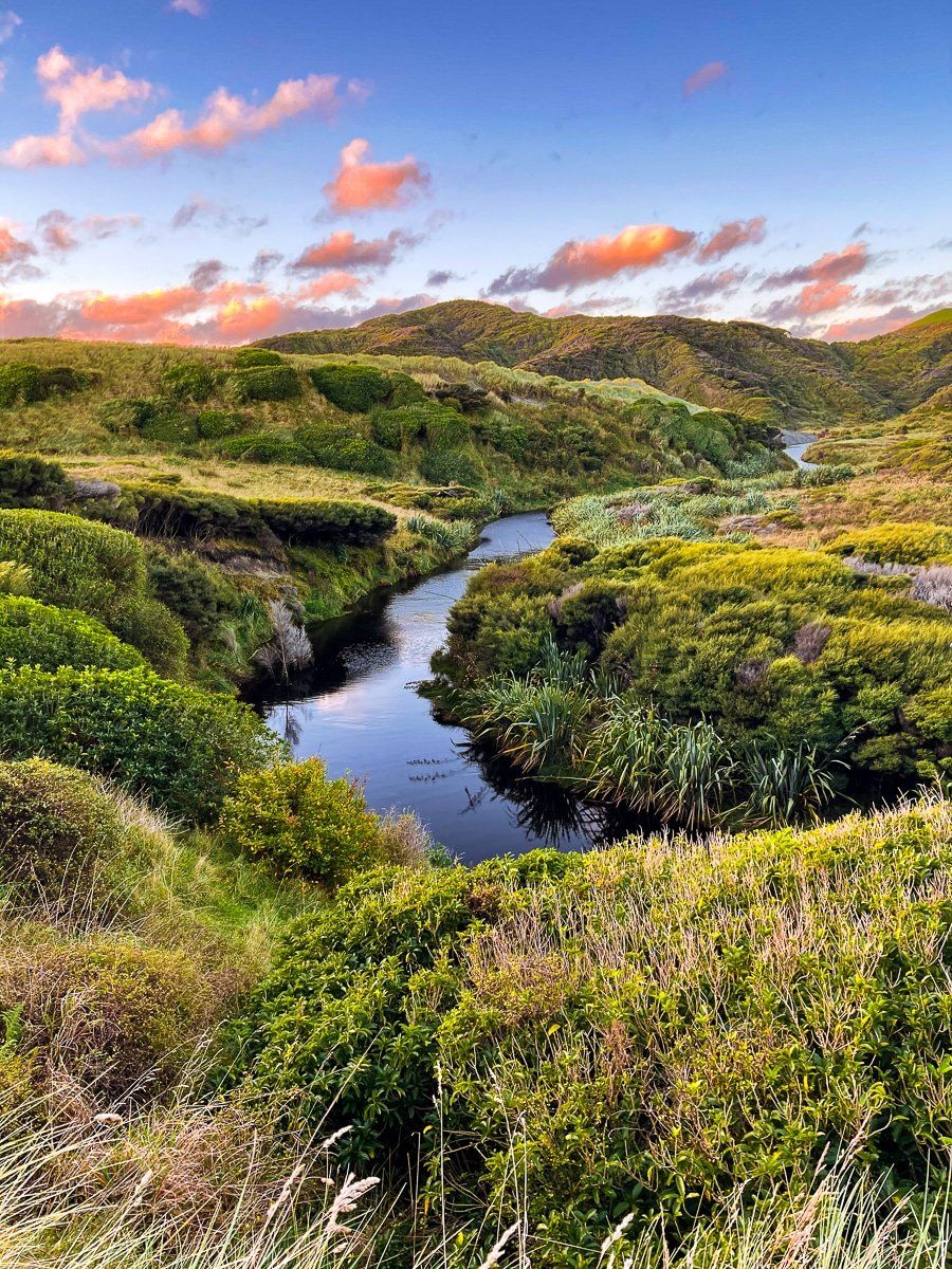
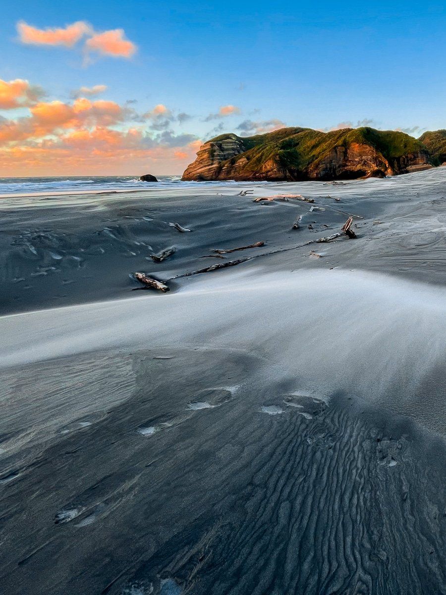
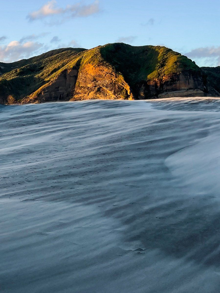
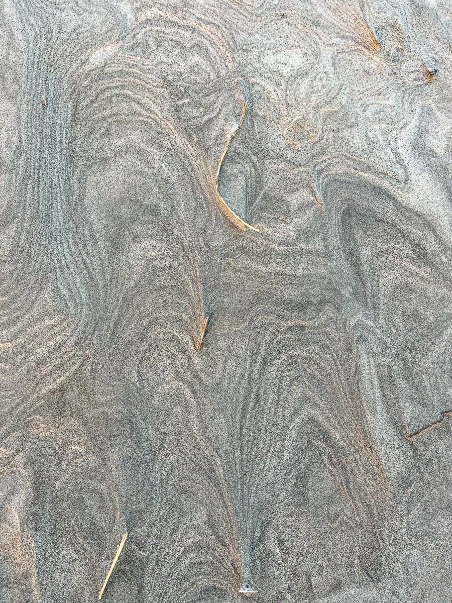
Immediately to the right of the track is the Wharariki Stream, which crosses the east end of the beach. When the wind blows, it creates some amazing patterns in the sand, reminiscent of snow drifts.
Wharariki Beach: Western access
The western end of Wharariki Beach tends to get overlooked, because it adds about an hour to the hike. You can get to the western end by walking along the beach, or directly from the car park on the farm track to the west, which connects with the beach after 40 minutes or so.
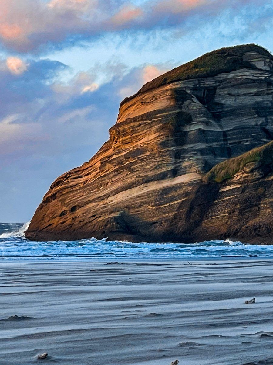
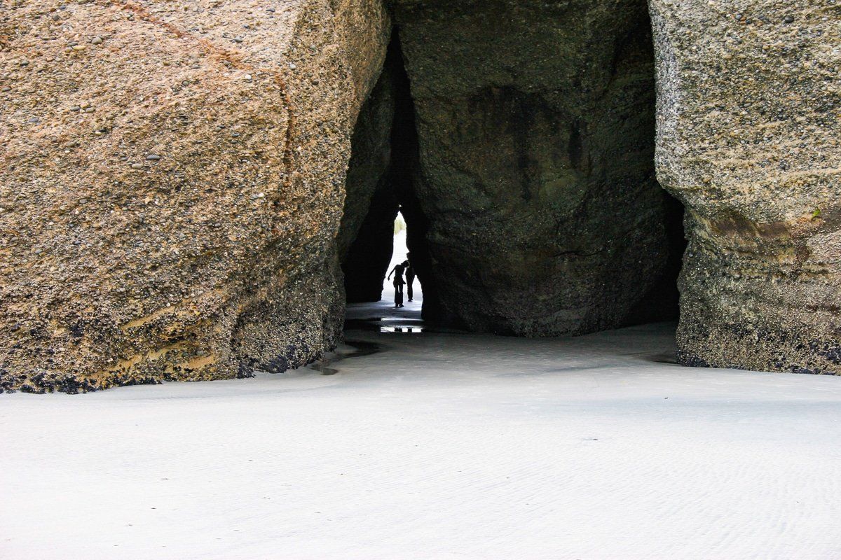
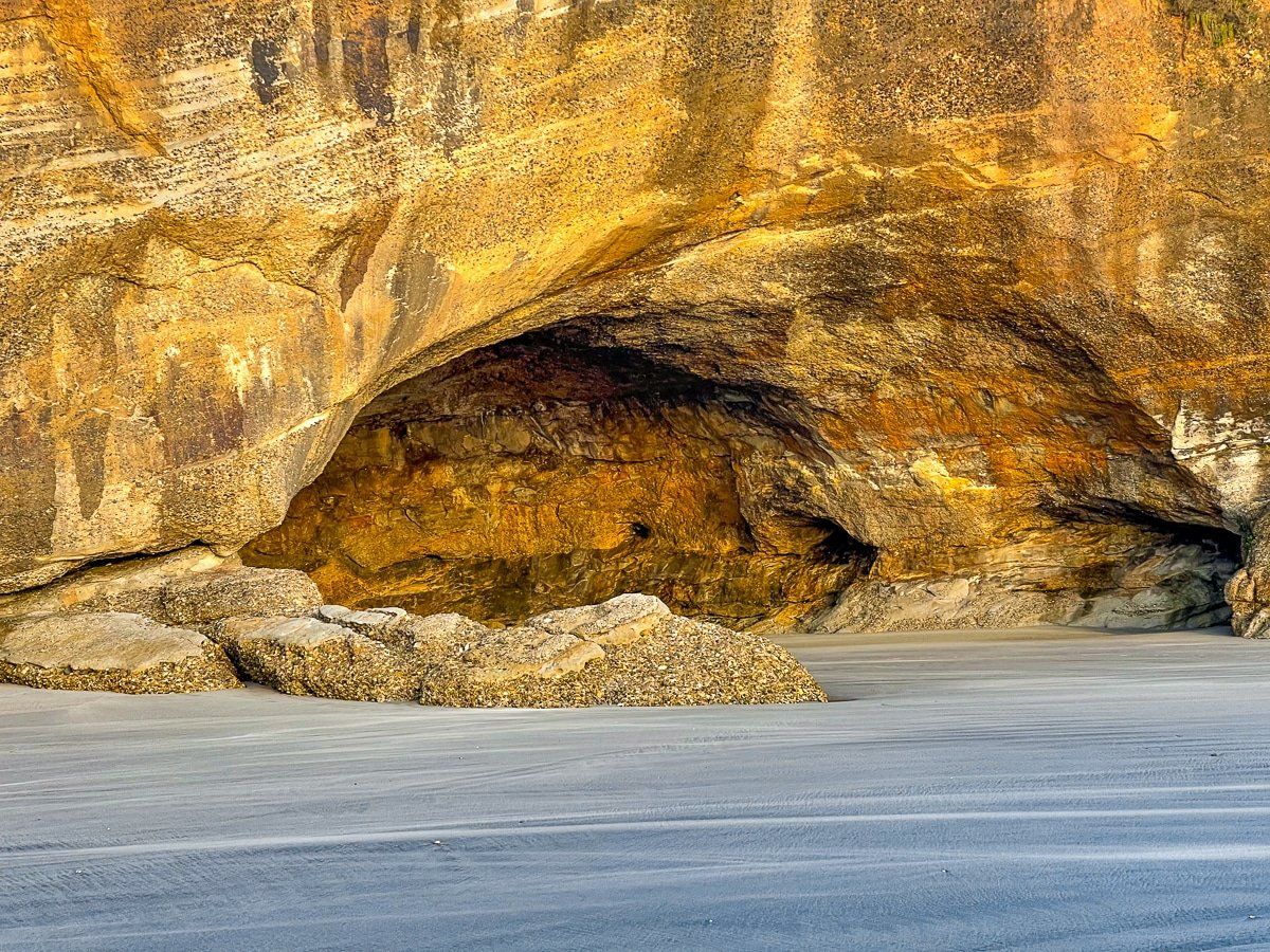
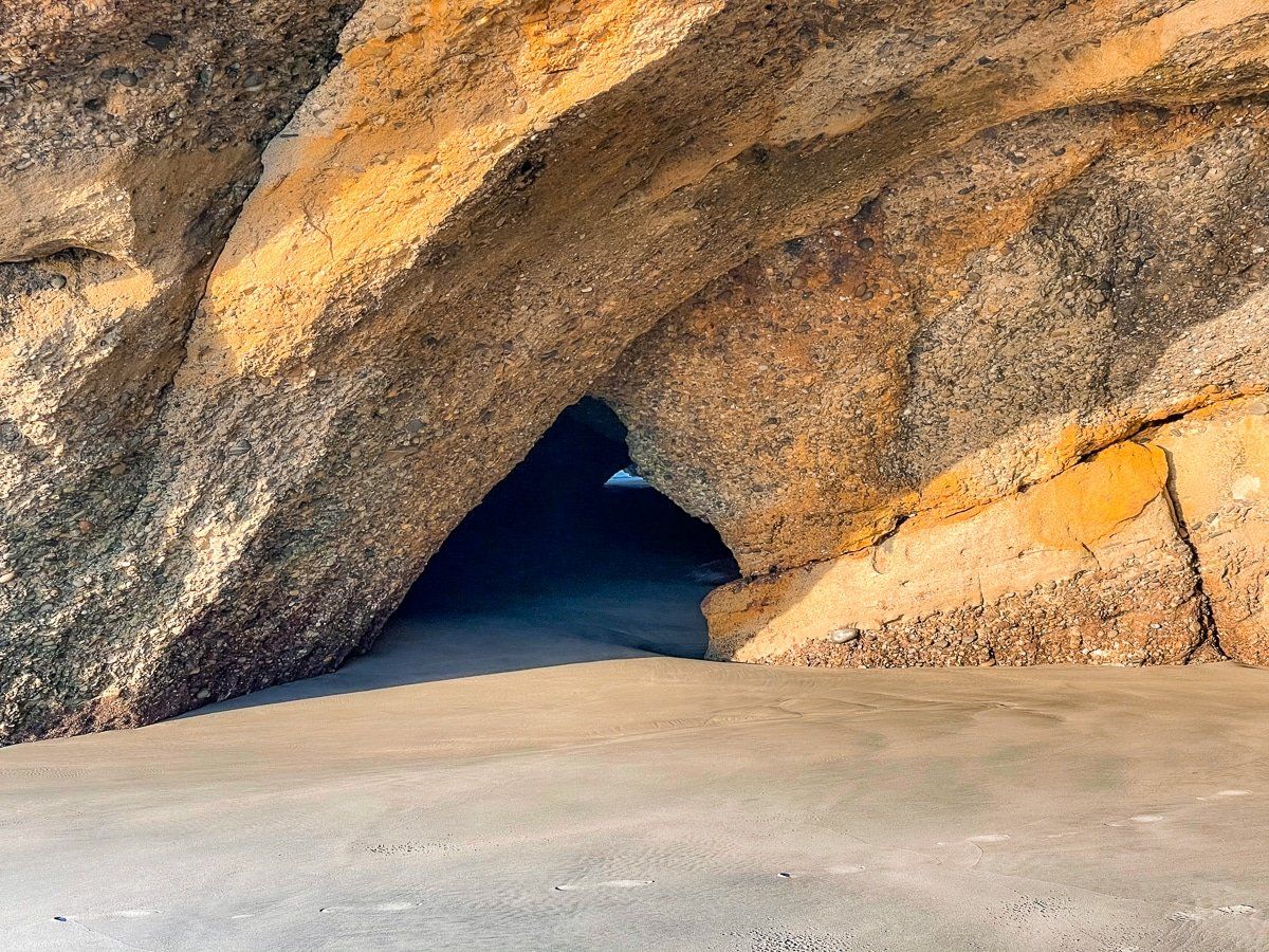
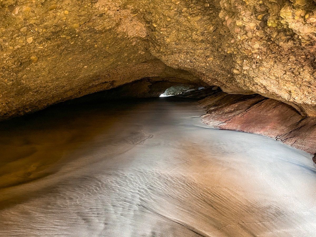
This part of the beach has some larger, interesting rock formations, a tunnel that you can walk through at low tide, and an entirely different view of the Archway Islands. You can complete this walk as part of a loop from the beach to the farm track.
Wharariki Beach: Caves
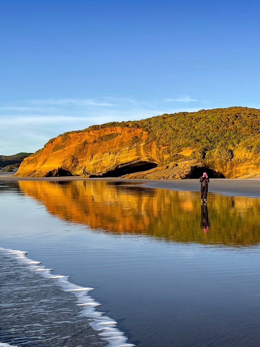
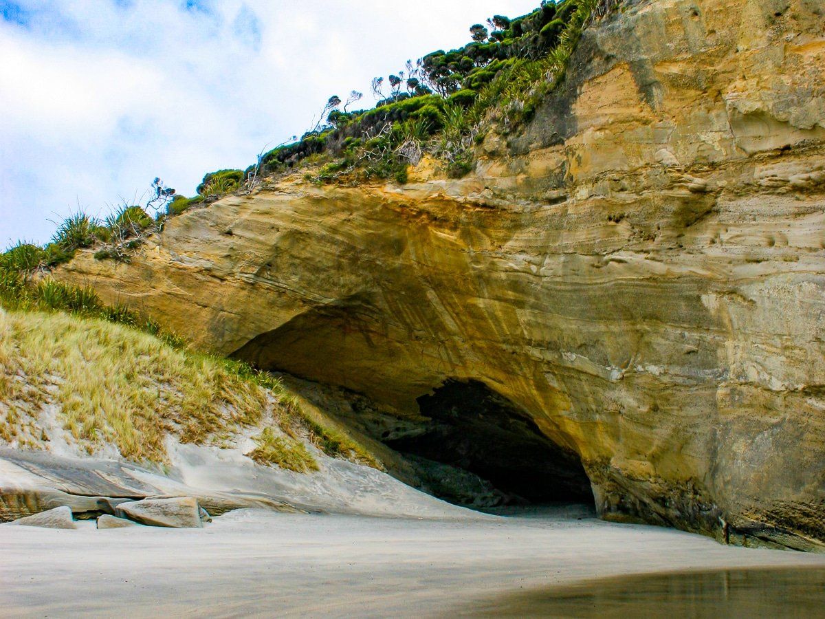
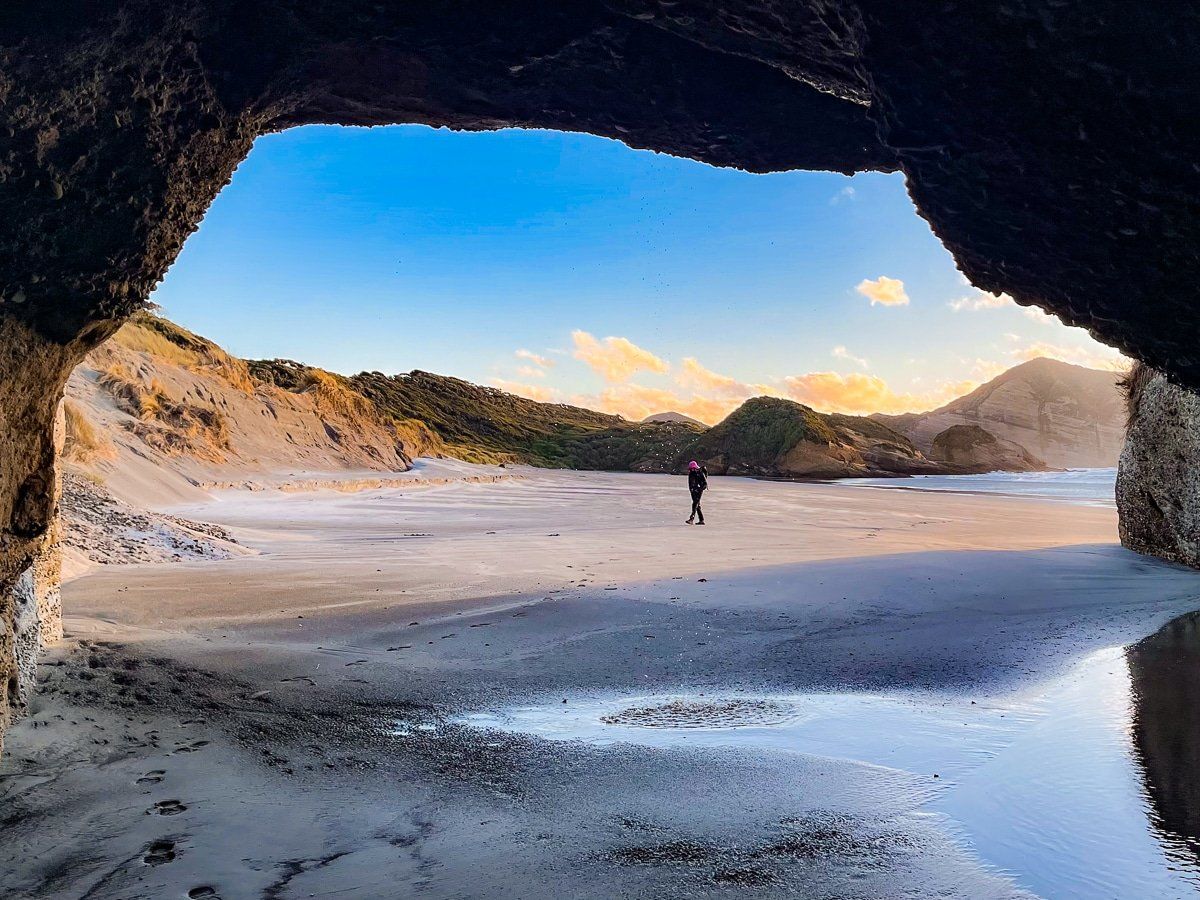
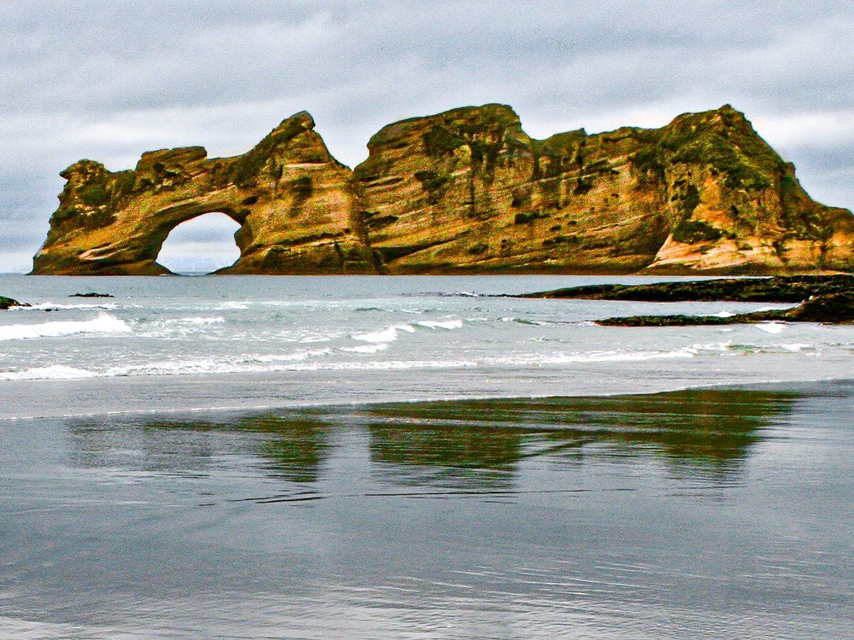
There are multiple caves and arches on Wharariki Beach. Some are in the cliffs, directly behind you when you stand in front of the Archway Islands. Others are at the west end of the beach in the large rocky outcrop near the walking track. If you stand in front of the Archway Islands and look to the far west of the beach, you’ll see another arch, similar to the one at Cape Farewell.
While you’re exploring the caves, arches and rock pools, keep an eye out for the occasional seal as well!
Wharariki Beach: Archway Islands
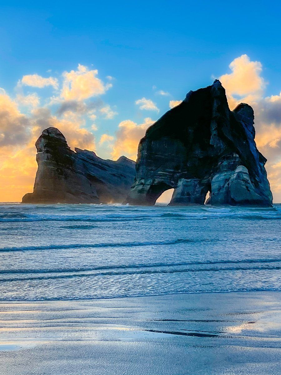
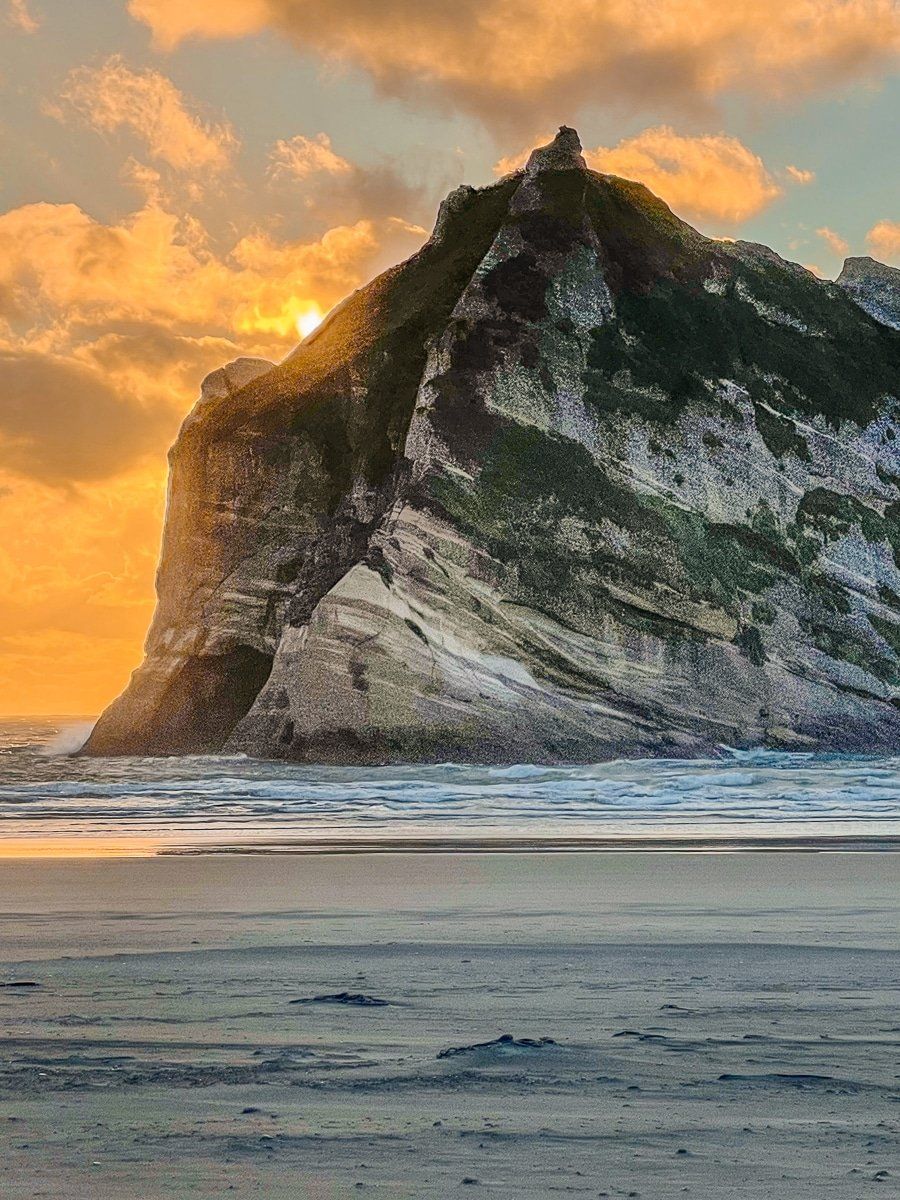
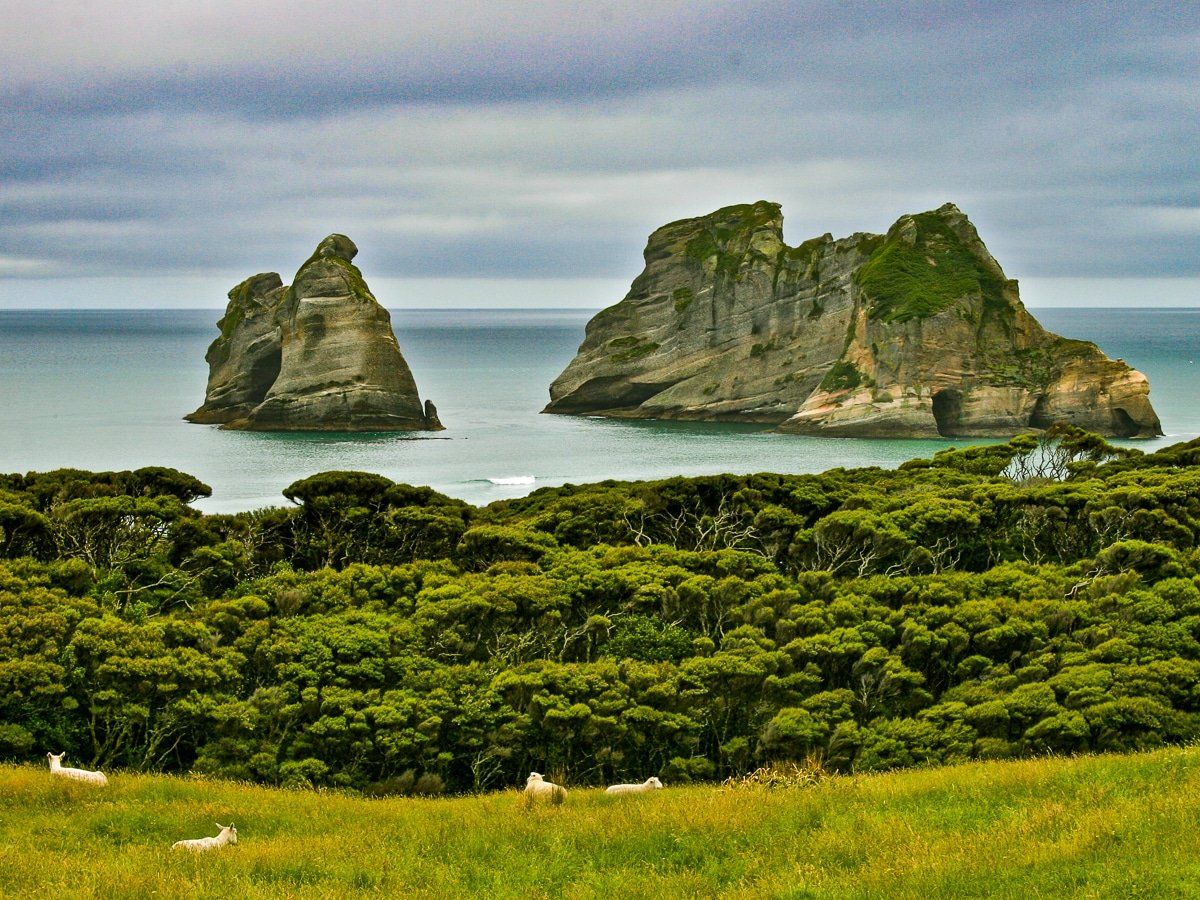
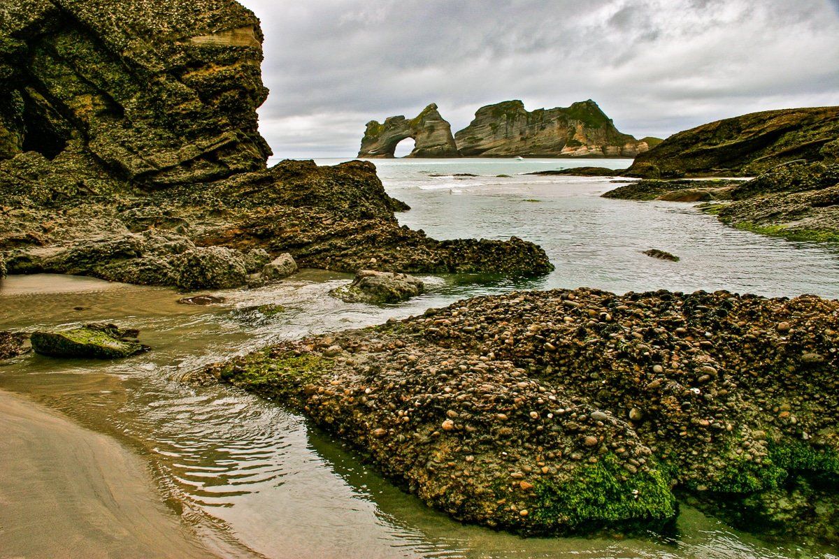
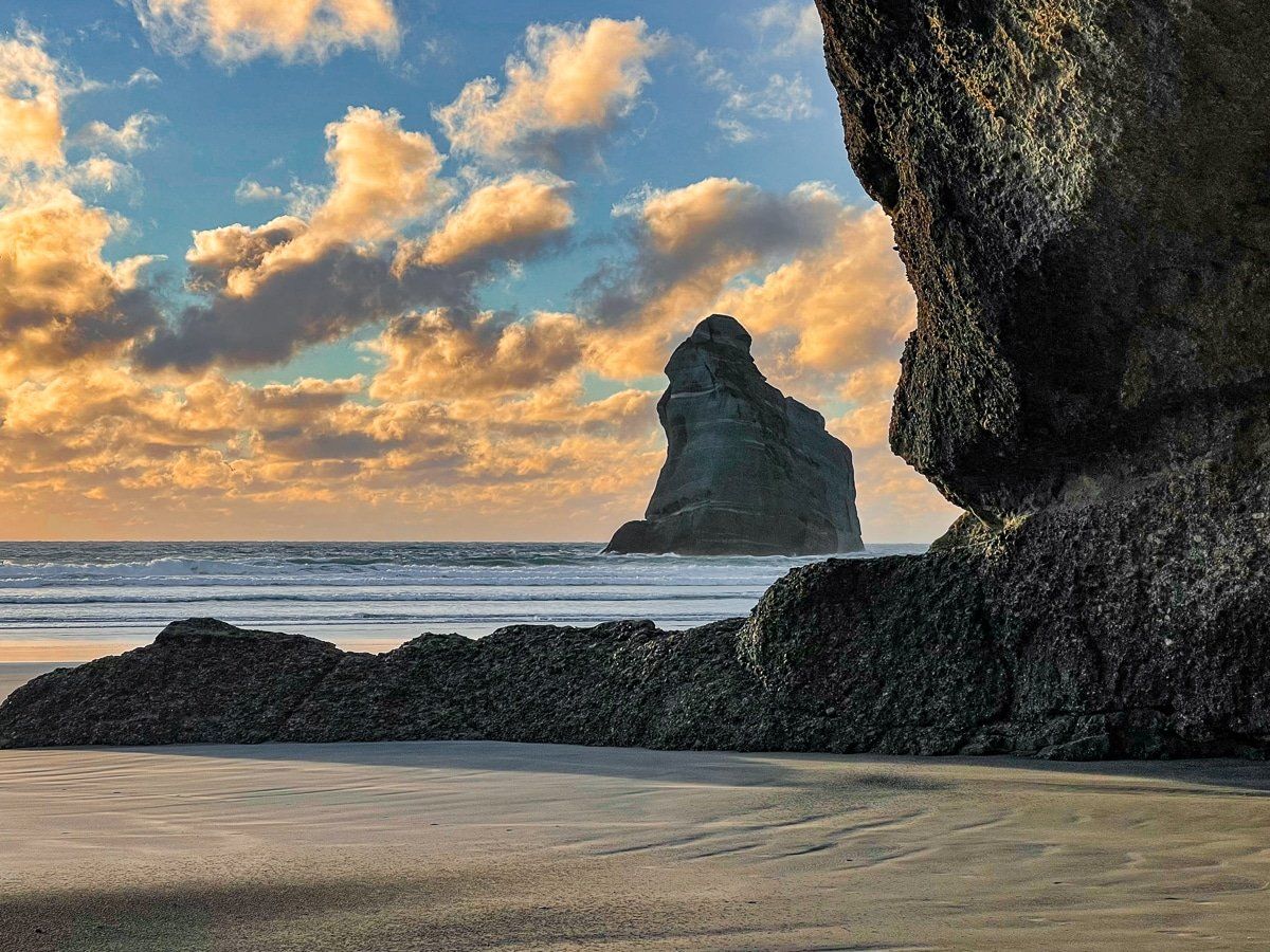
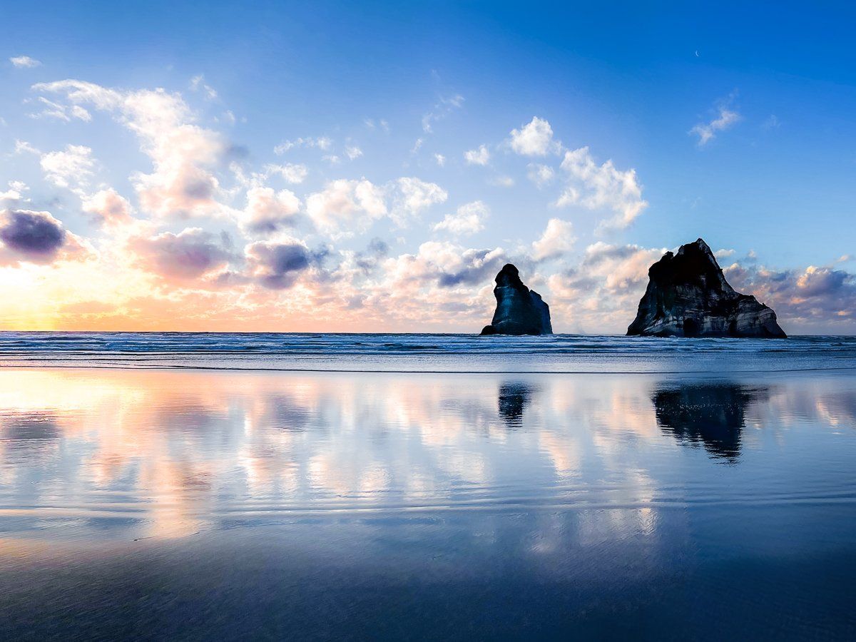
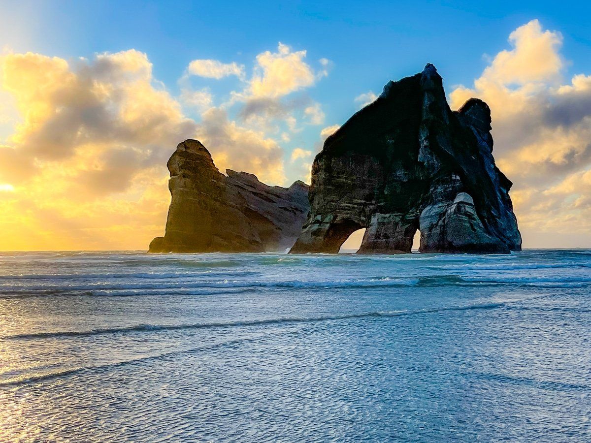
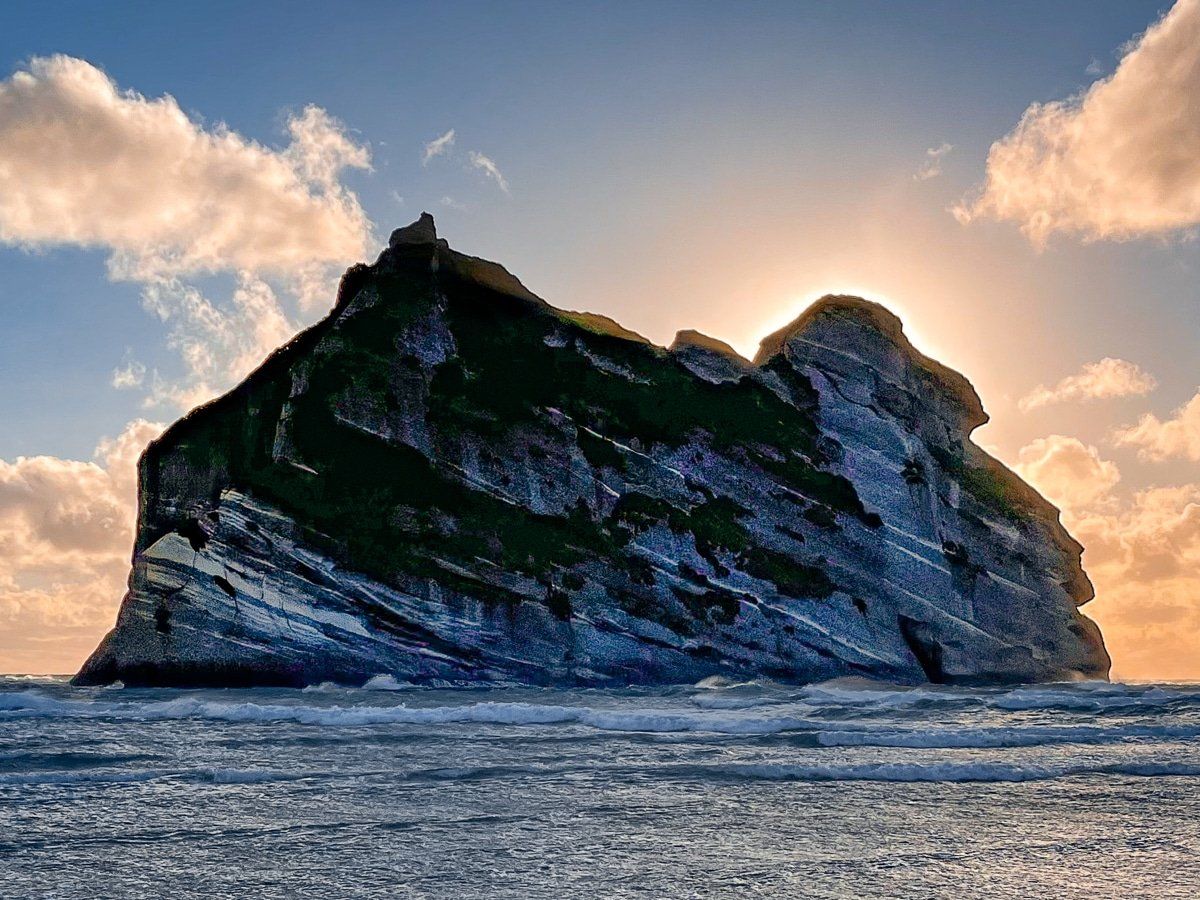
The Archway Islands are the main attraction at Wharariki Beach, and they’re especially stunning at sunset. The fastest route is over the shorter Whakariki Beach Track, but to see the two islands with their three arches clearly you really need to walk the length of the beach.
From most positions on the beach you can only see one of the arches, with a narrow angle where you can see two at once. The third arch is on the smaller island, and it’s only visible from the west end of the beach.
The islands also look completely different depending on where you are. From the west end, you’ll probably think it’s one island with one big arch!
Looking more Golden Bay trip ideas?
Check out our recent posts on Collingwood, the drive from Golden Bay to Abel Tasman, Takaka Hill and the trip from Whanganui Inlet to Anatori.
