In this, our latest blog on the Wanaka region, we cover some of the most and least obvious things to do. For the former, a walk up Mt Iron, photos at That Wanaka Tree and a stop in Cardrona.
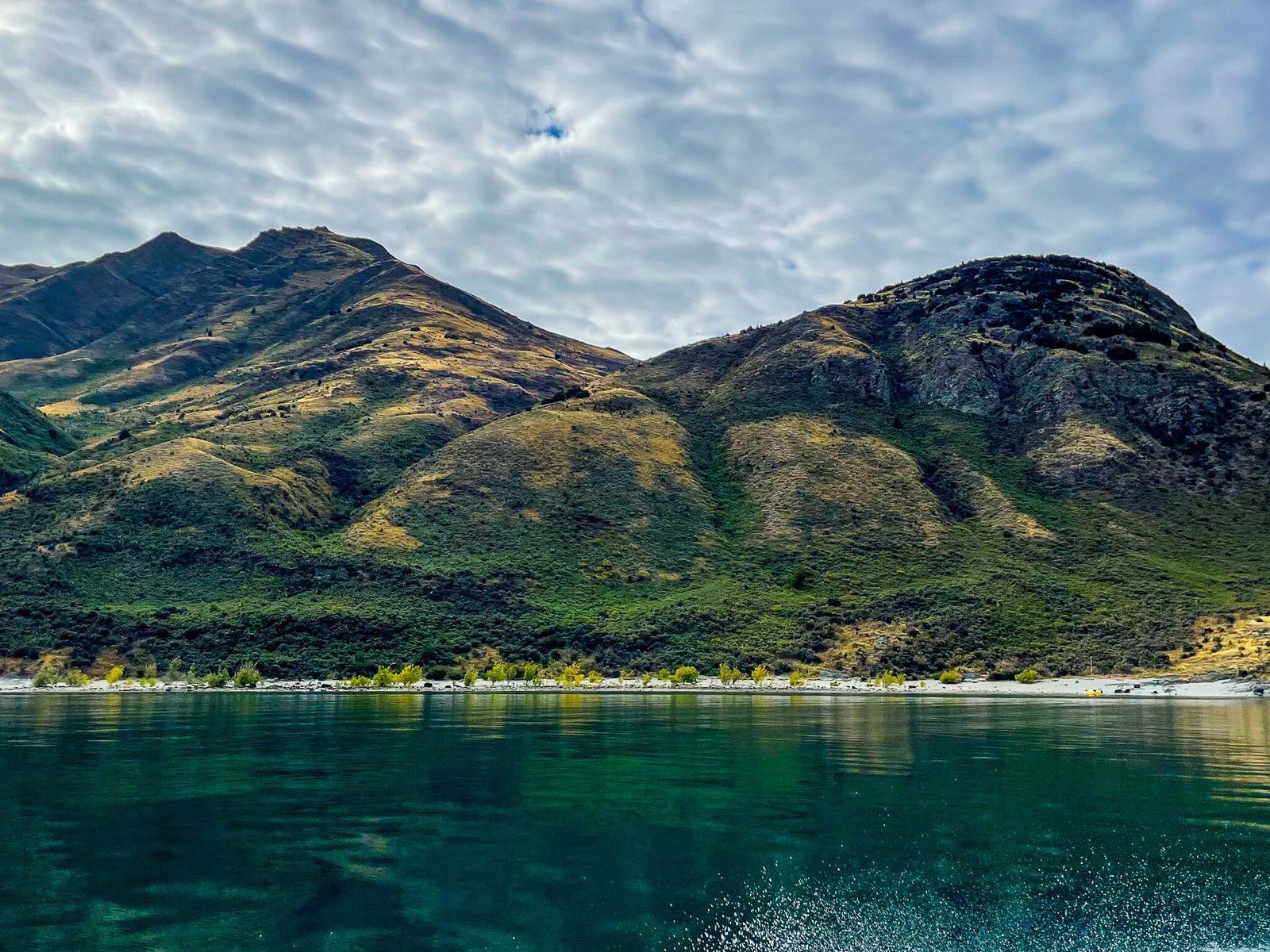
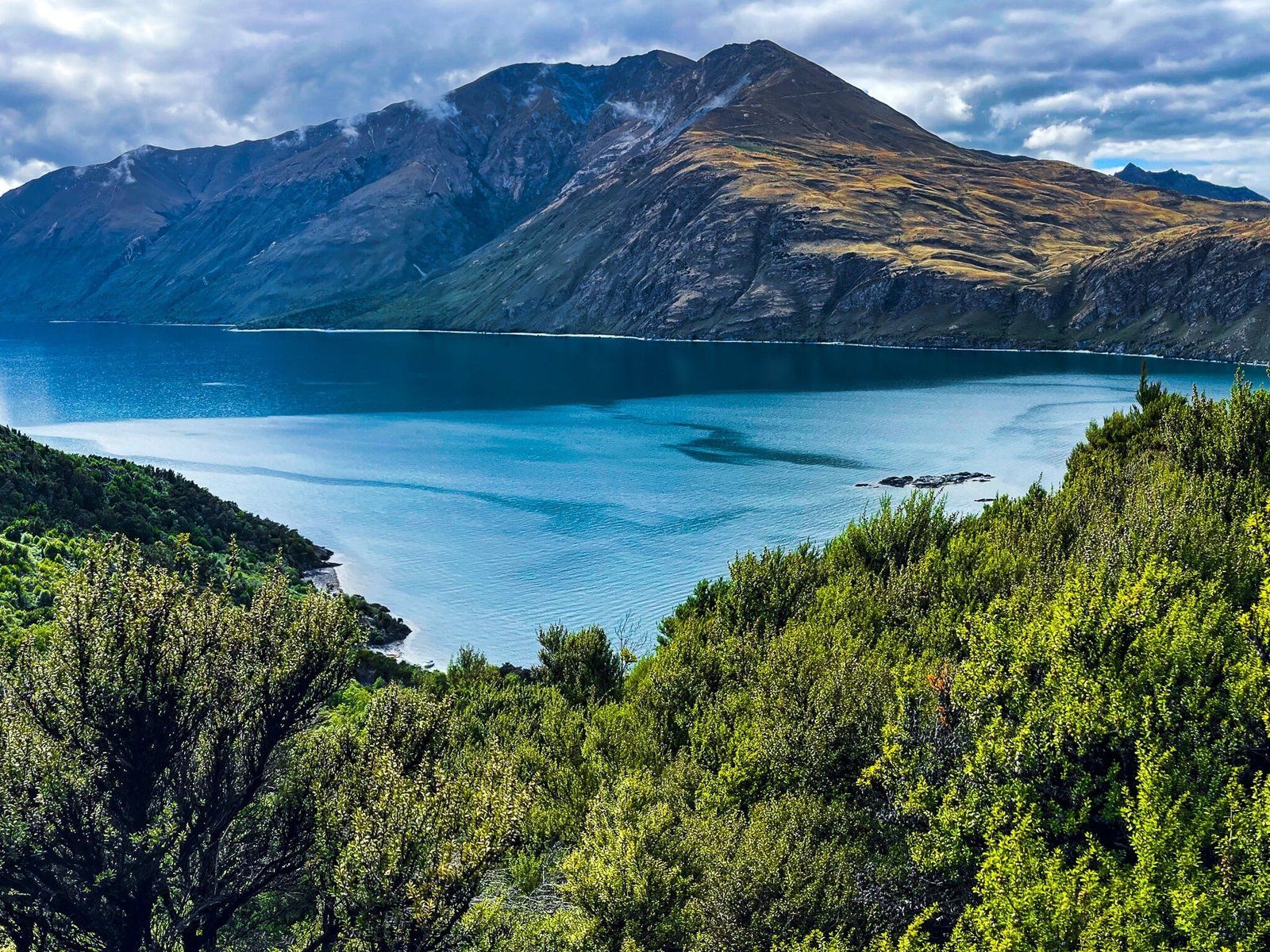
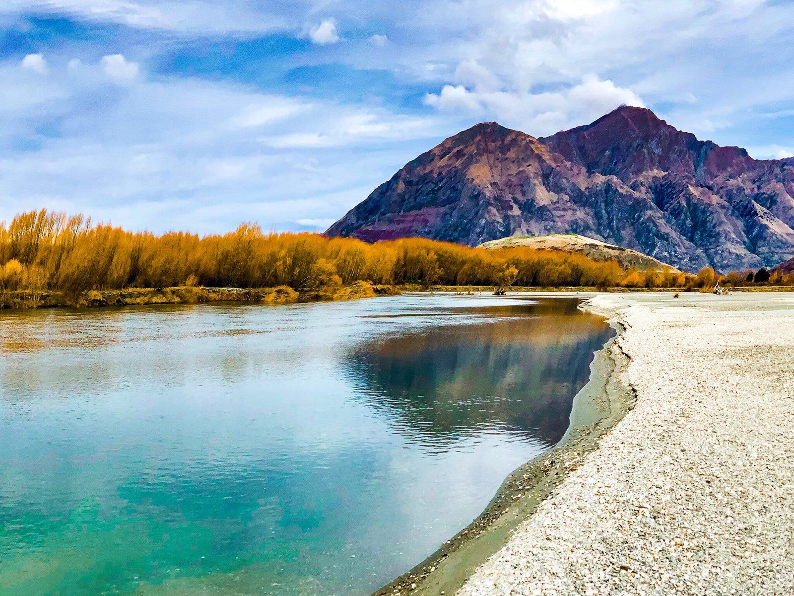
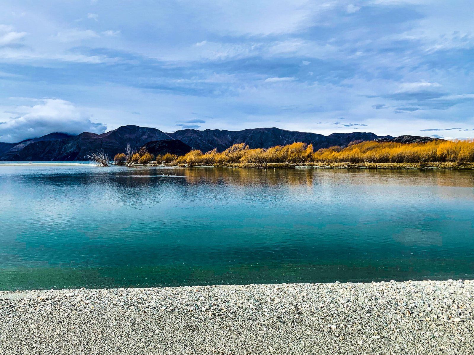
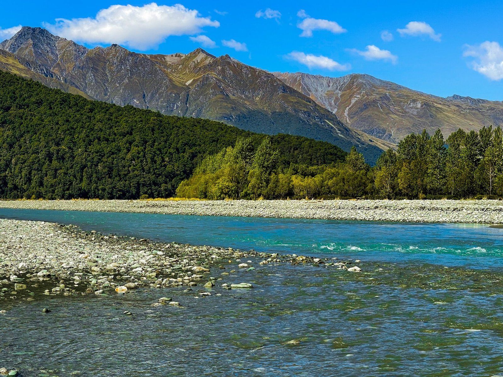
For the not so well known (although this is changing fast), take a boat trip on the lake to visit Mou Waho and its fabulous lake within a lake view point. Or if you want a quiet spot near the lake with views of the Harris Mountains, head to West Wanaka and take the short side trip to The Island, a large area of river gravel below the Matukituki River outlet.
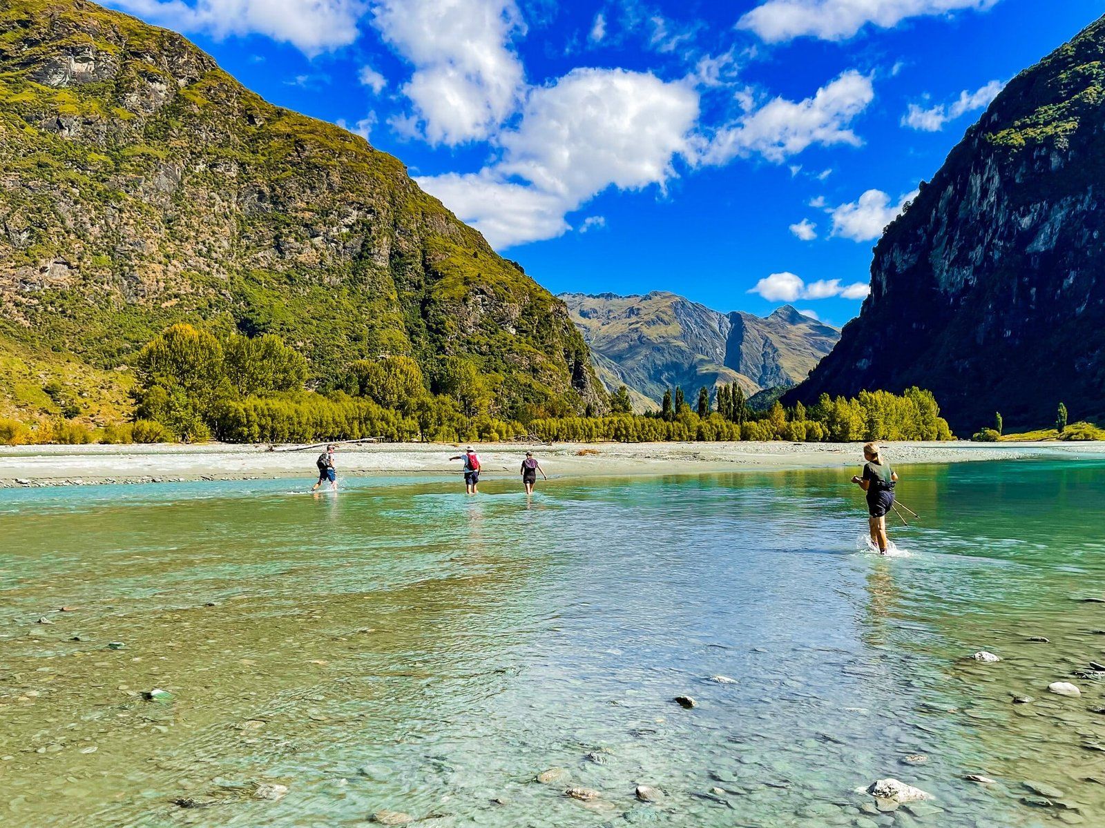
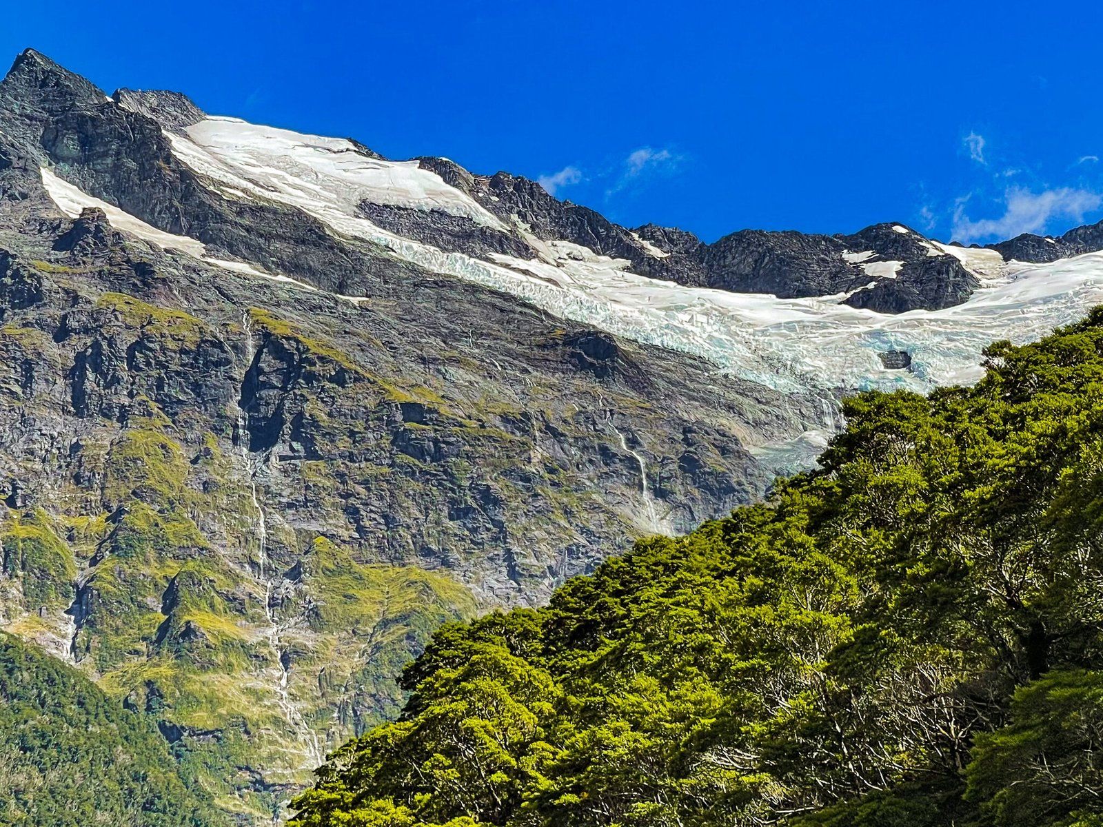
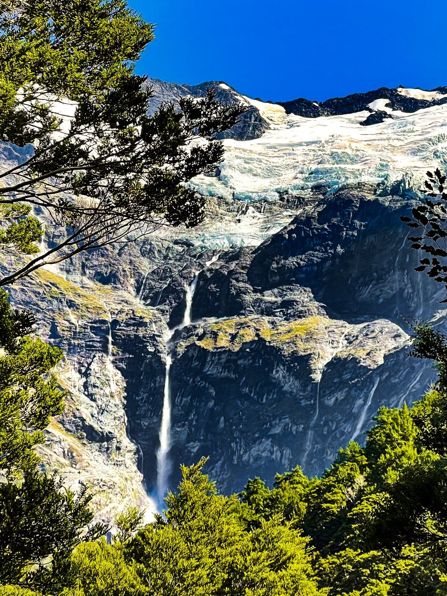
Another lesser known option is to head down Mt Aspiring Road towards the national park and take the short turn off at Cameron Flat towards East Matukituki. Park by the river, then wade across and take the Glacier Burn Track to views of Avalanche Glacier and the high unnamed waterfall that feeds Glacier Burn.
Mount Iron Track – West
Mt Iron is the obvious hill with a cliff face right next to Wanaka. Along with the lakeside walk, it is the go-to track for locals. For visitors, the 240 metre, often steep climb, is probably not so enticing as there are so many other options for the hour and a half it takes to complete the loop track – quicker if you go up and down the same way. We have always ended up doing it in poor weather just because it is accessible. You can start the loop either from the carpark off SH84 at the southwest end of the mount, or from Old Racecourse Rd on the east side.
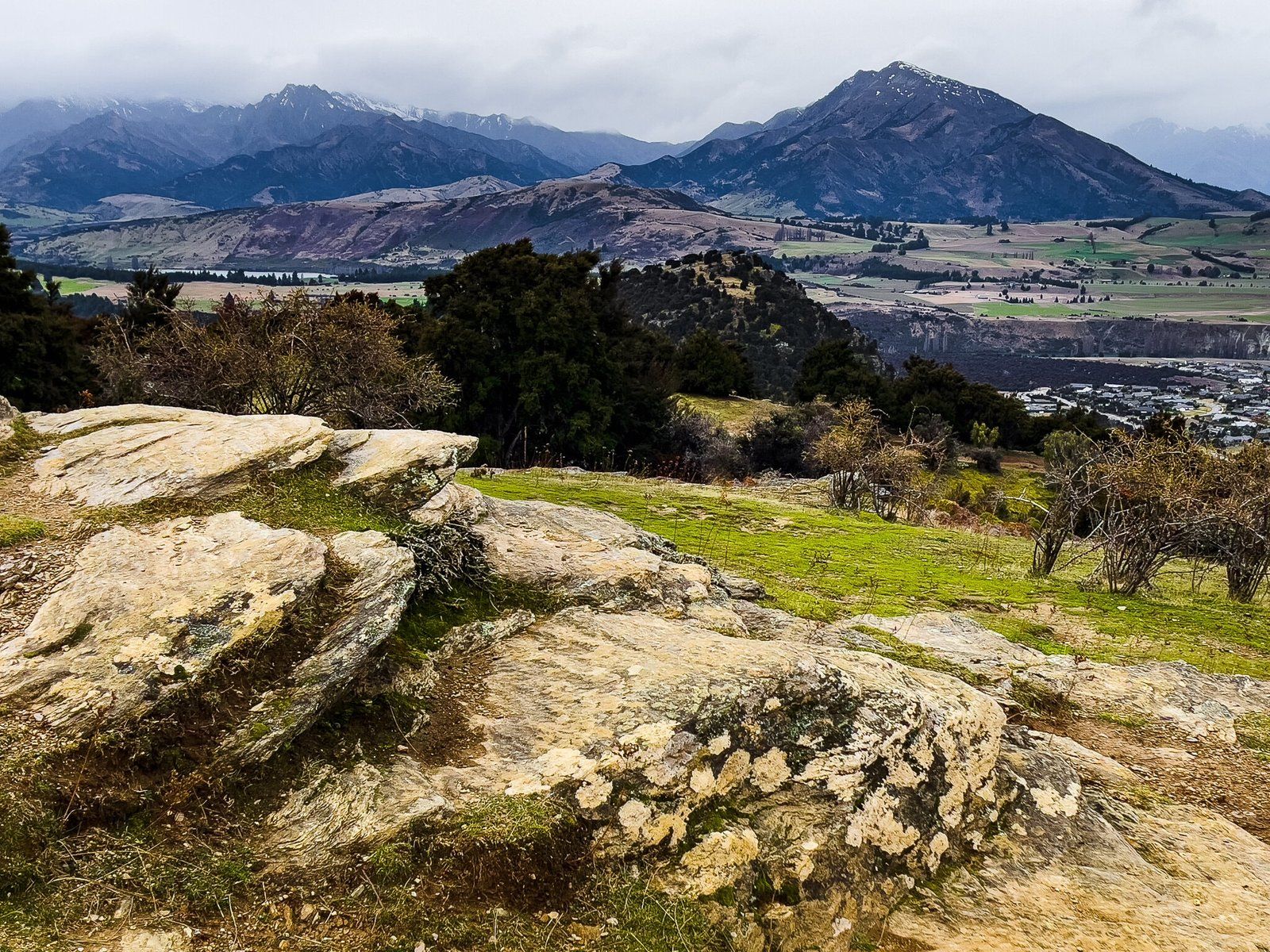
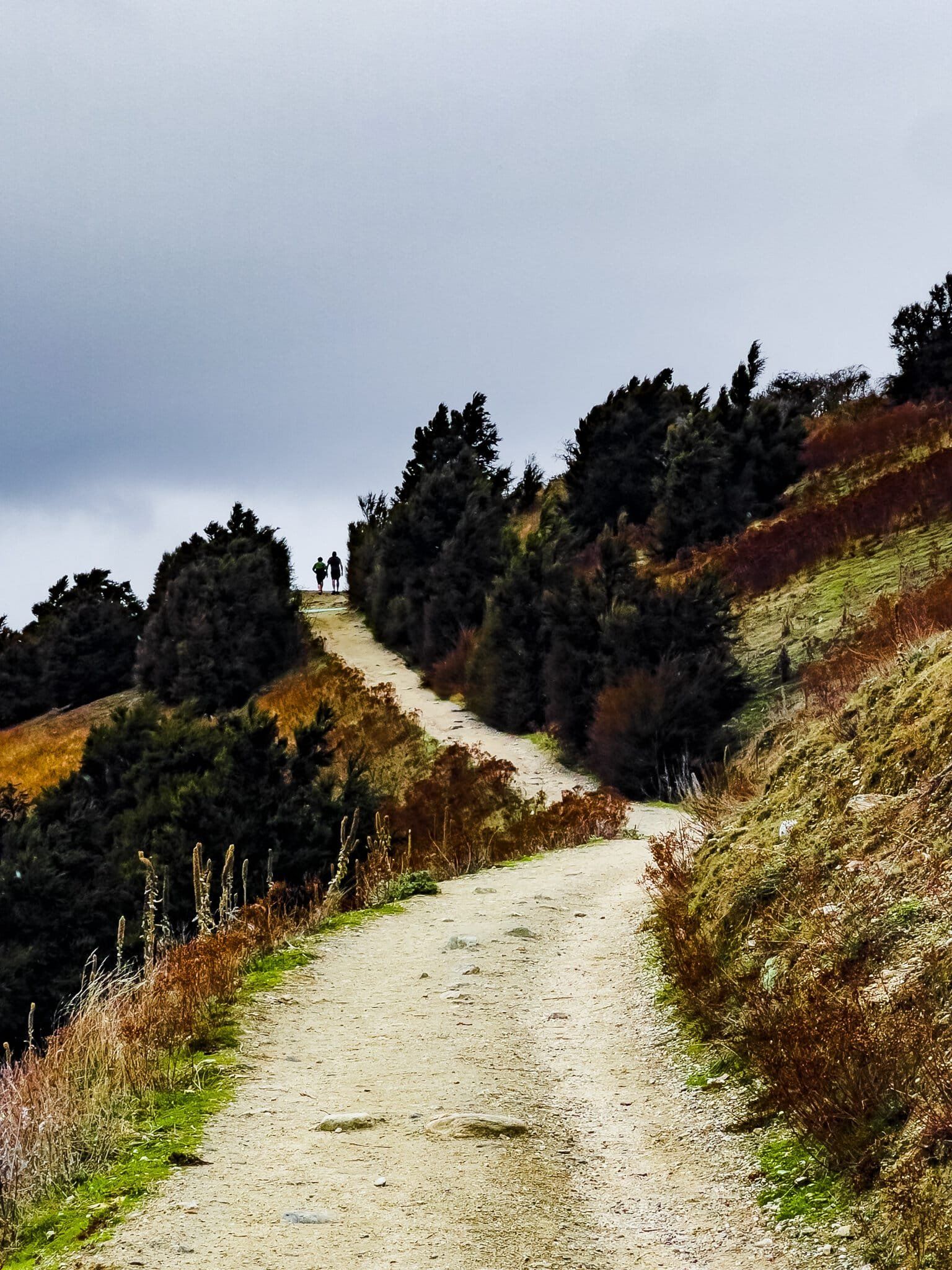
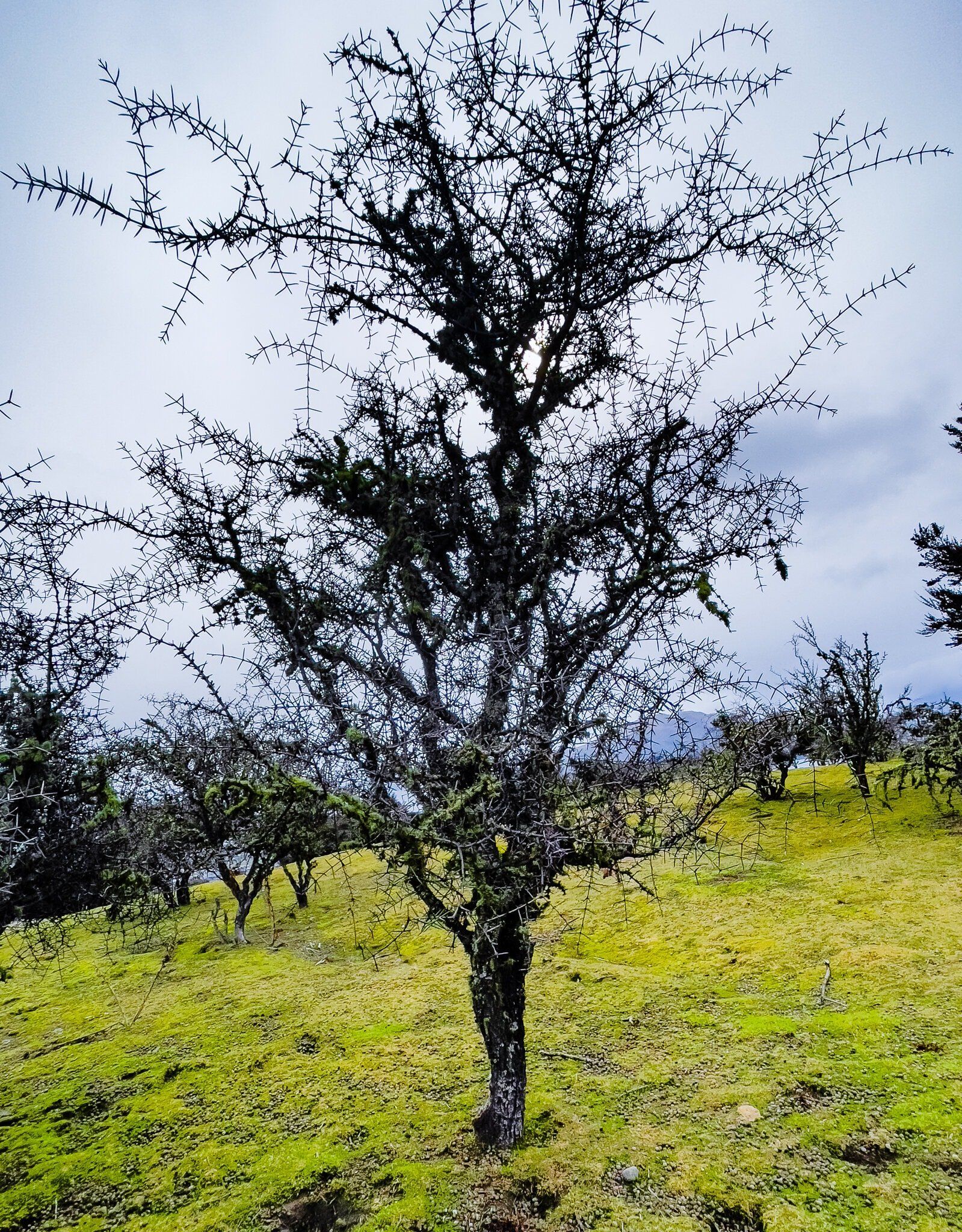
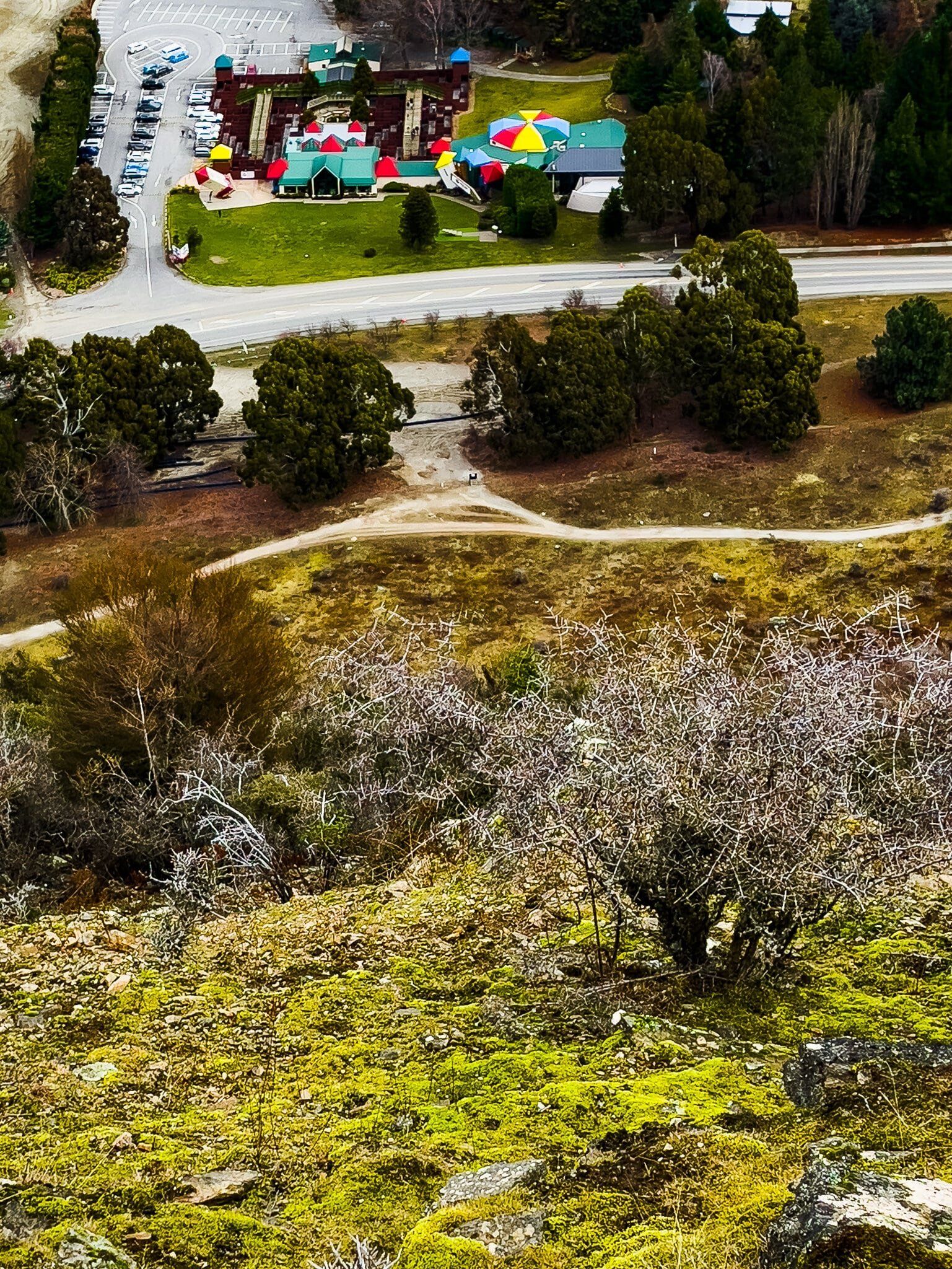
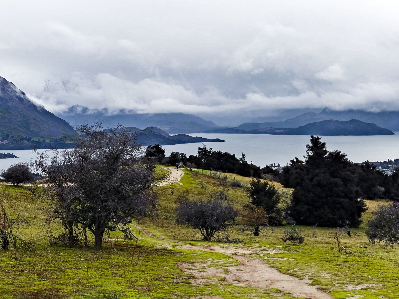
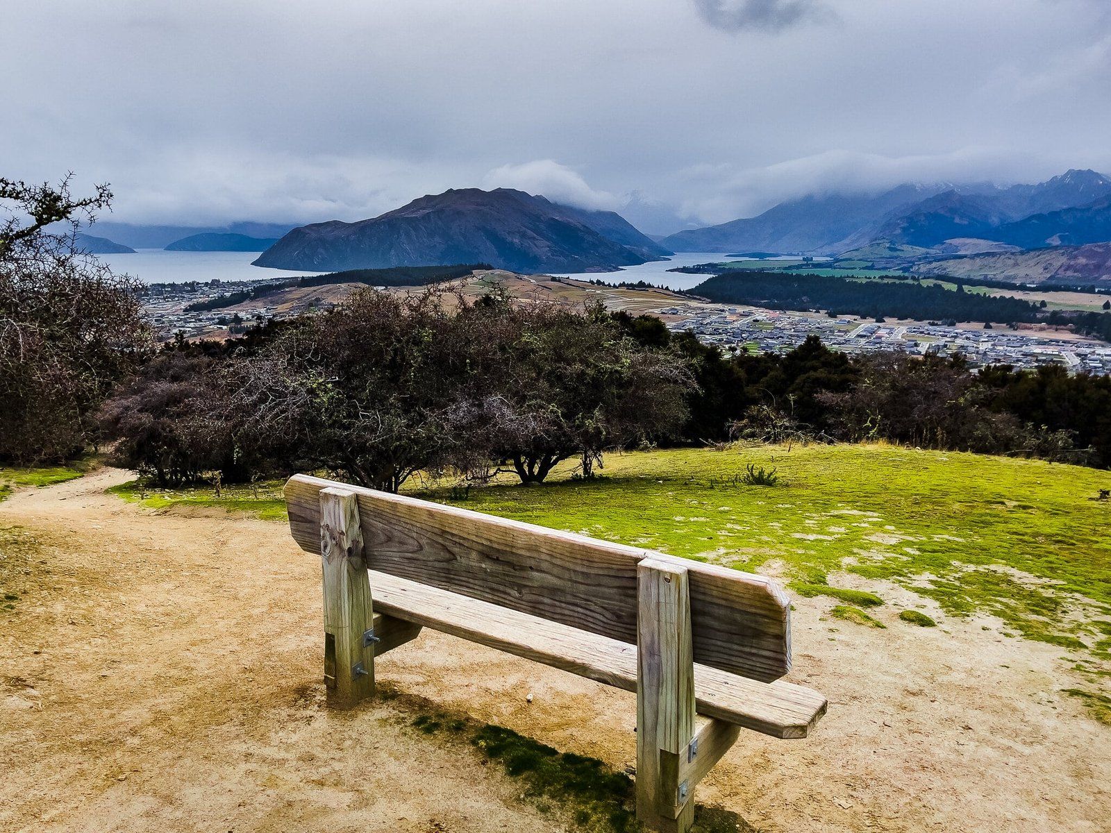
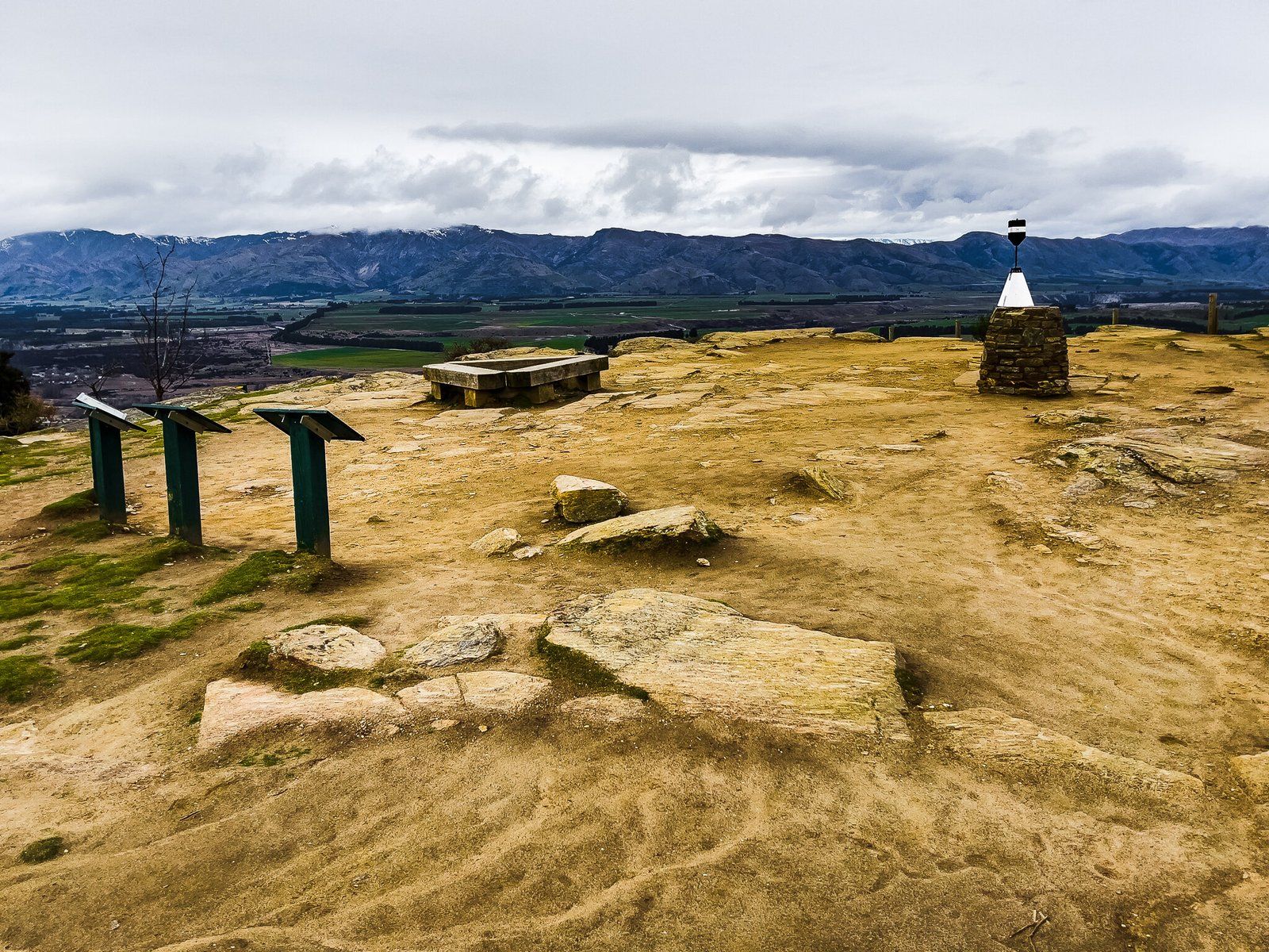
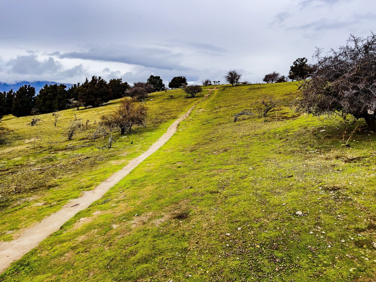
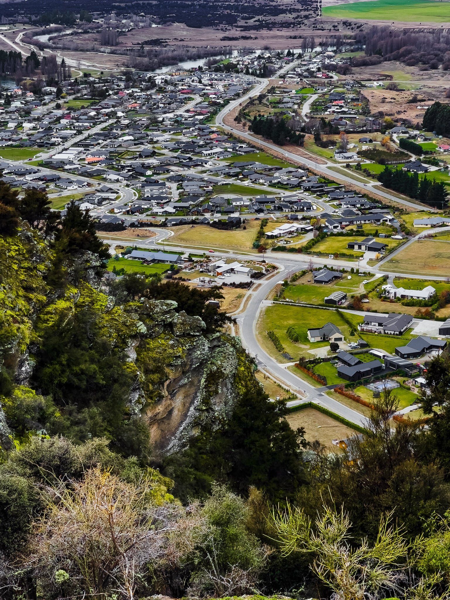
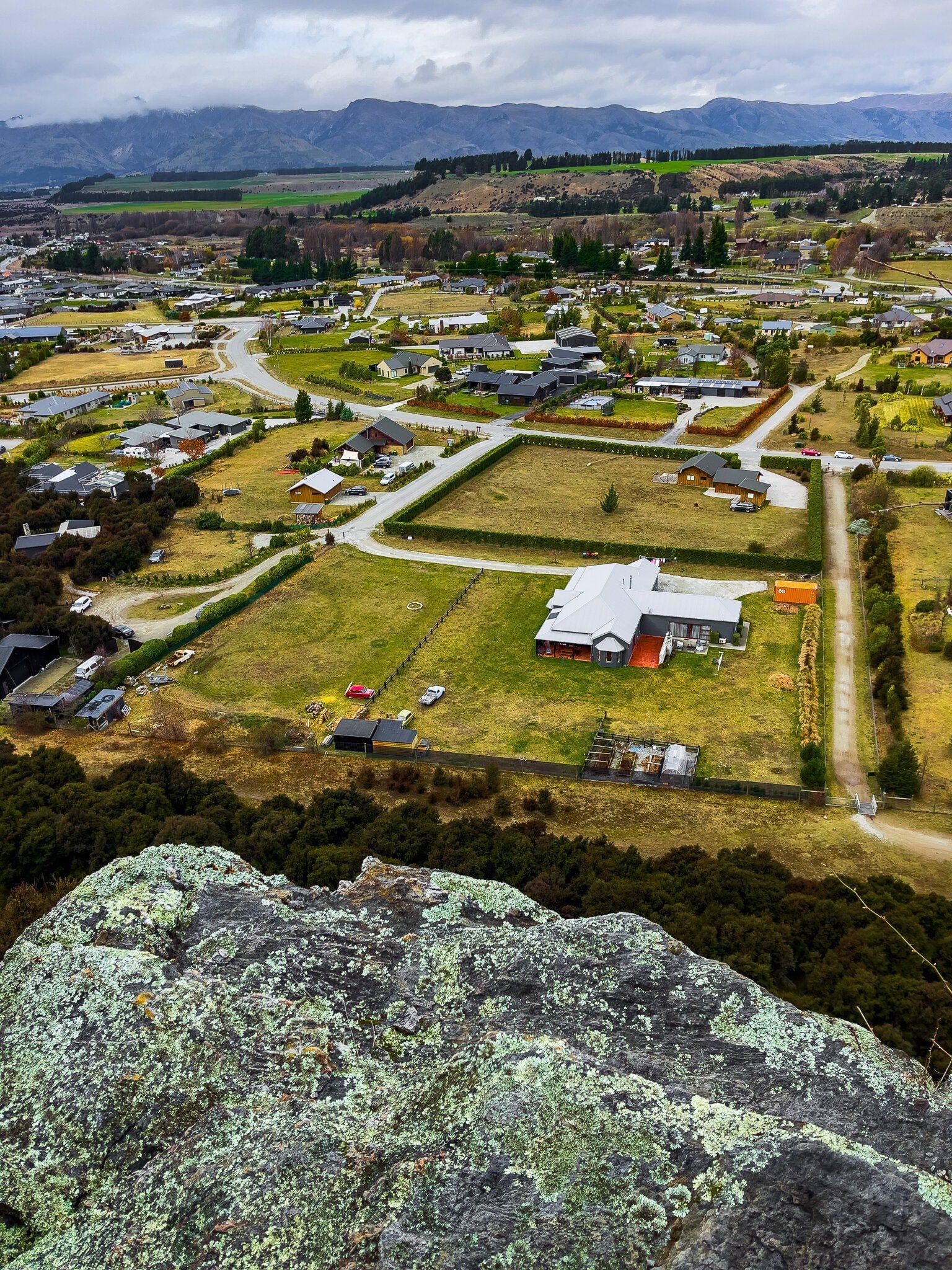
In practice, the Mt Iron Track is really two very different experiences. From the SH 84 car park, it is a moderately steep and continuous hike up to the top on the west side of the mount. This section is relatively exposed, with steep rabbit-infested grassland. It is definitely not that pleasant when it is warm, windy and dusty. There are some patches of kānuka and some striking examples of matagouri, a rather nasty looking spiky native bush. The view over the town and lake is the major redeeming feature and it only takes about 20 to 30 minutes to get to the top, which is bounded by the southend cliff.
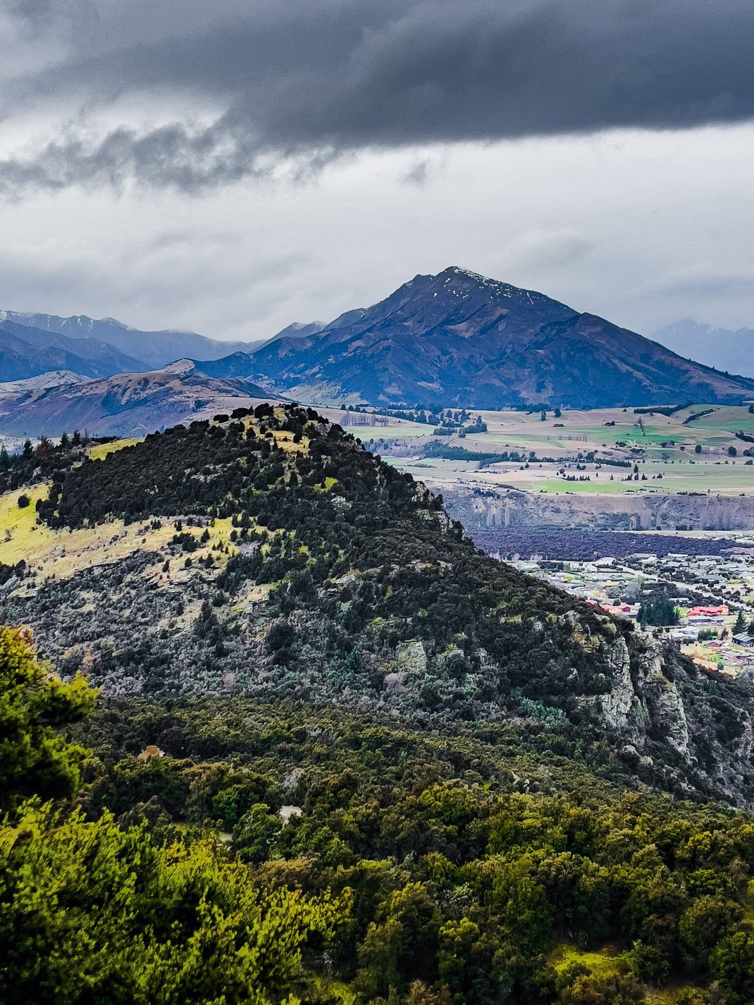
Once at the top, the views are superb, there are also some interesting panels that describe the history of the area, including the effect of glaciation. Mt Iron was a piece of harder rock that survived the grinding of the ice that carved out the lake and flattened the surrounding area.
From the top, you can continue on to the east side track to complete the loop, or go back the way you came.
Mount Iron Track – East
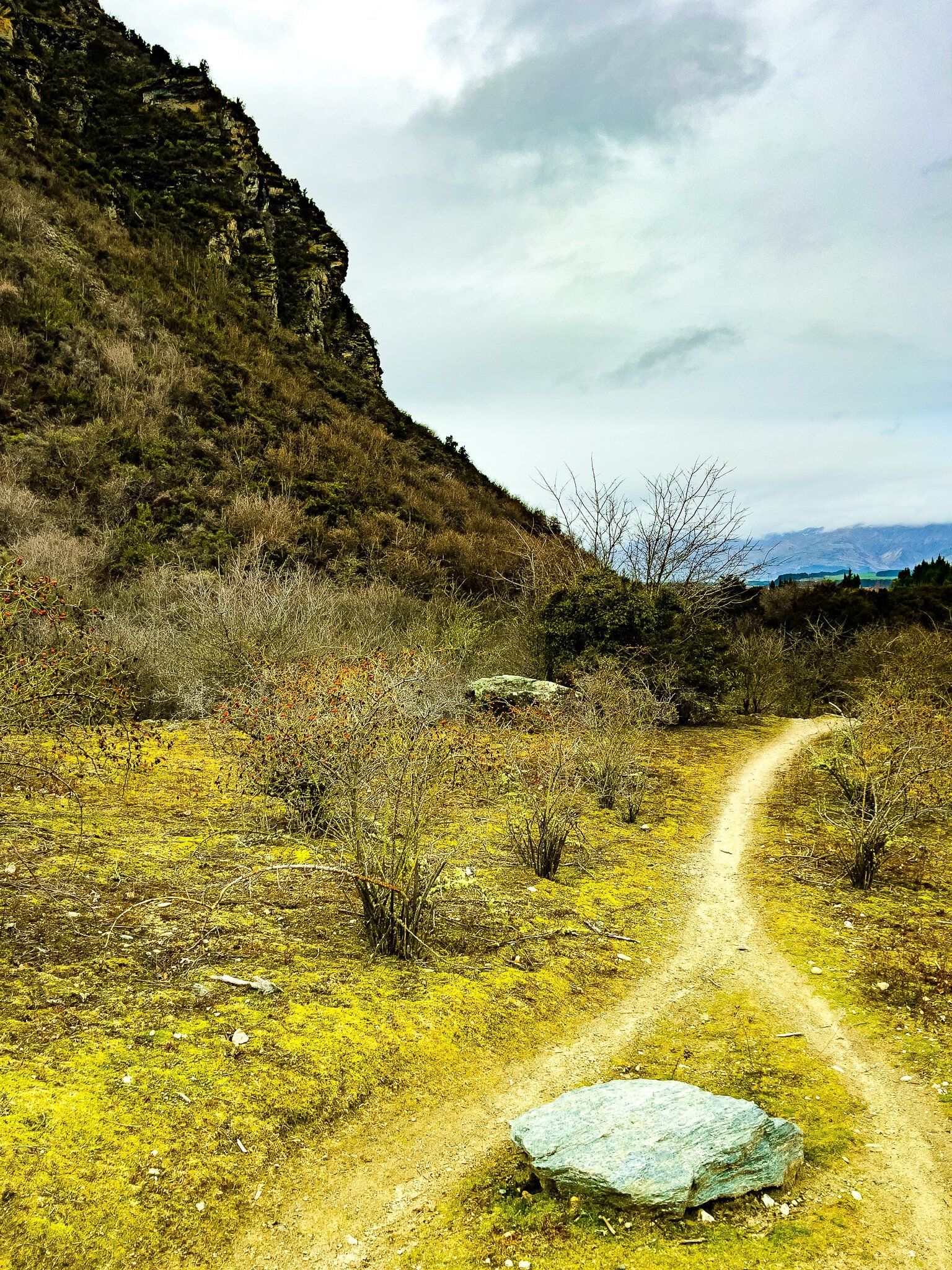
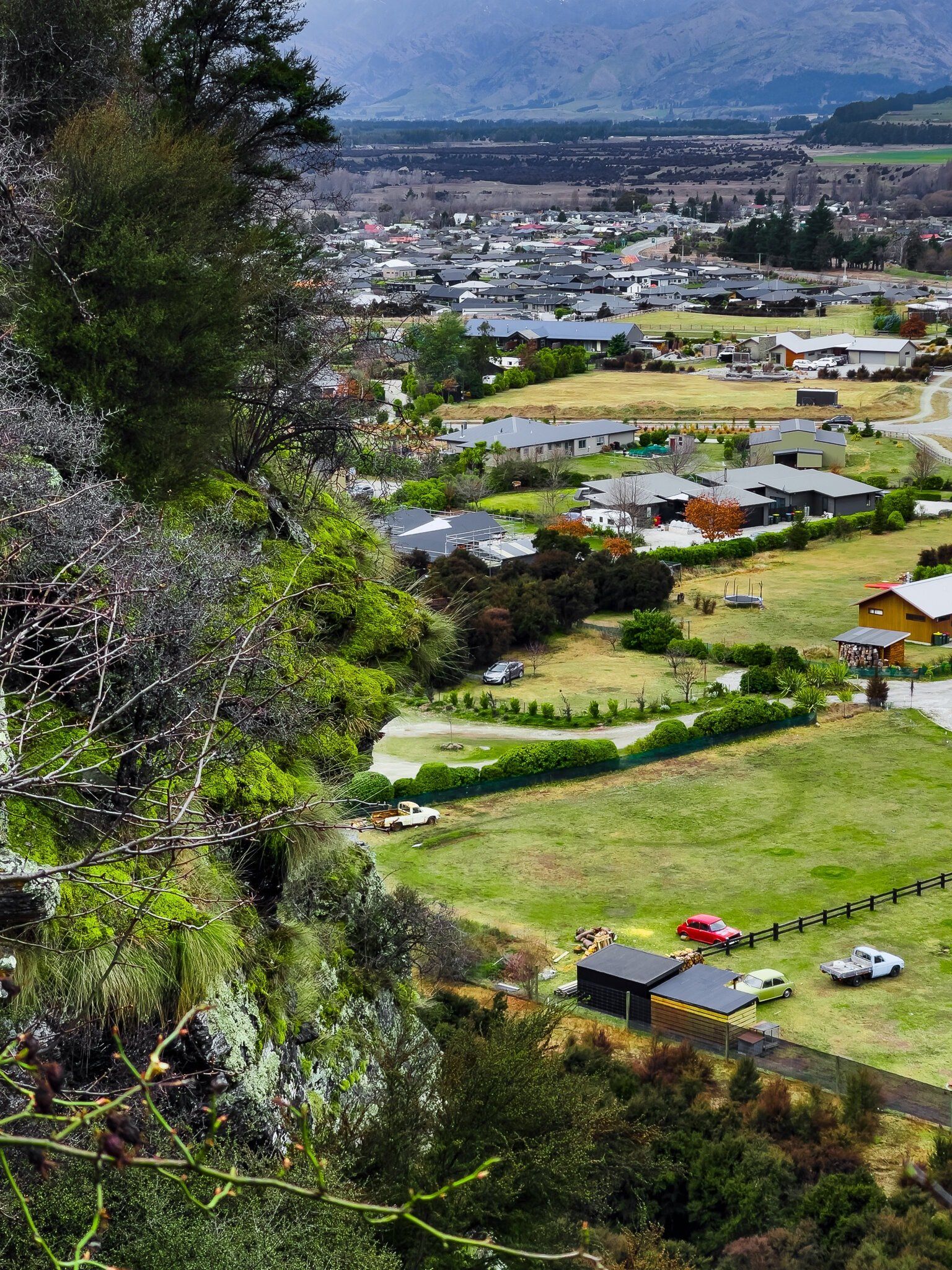
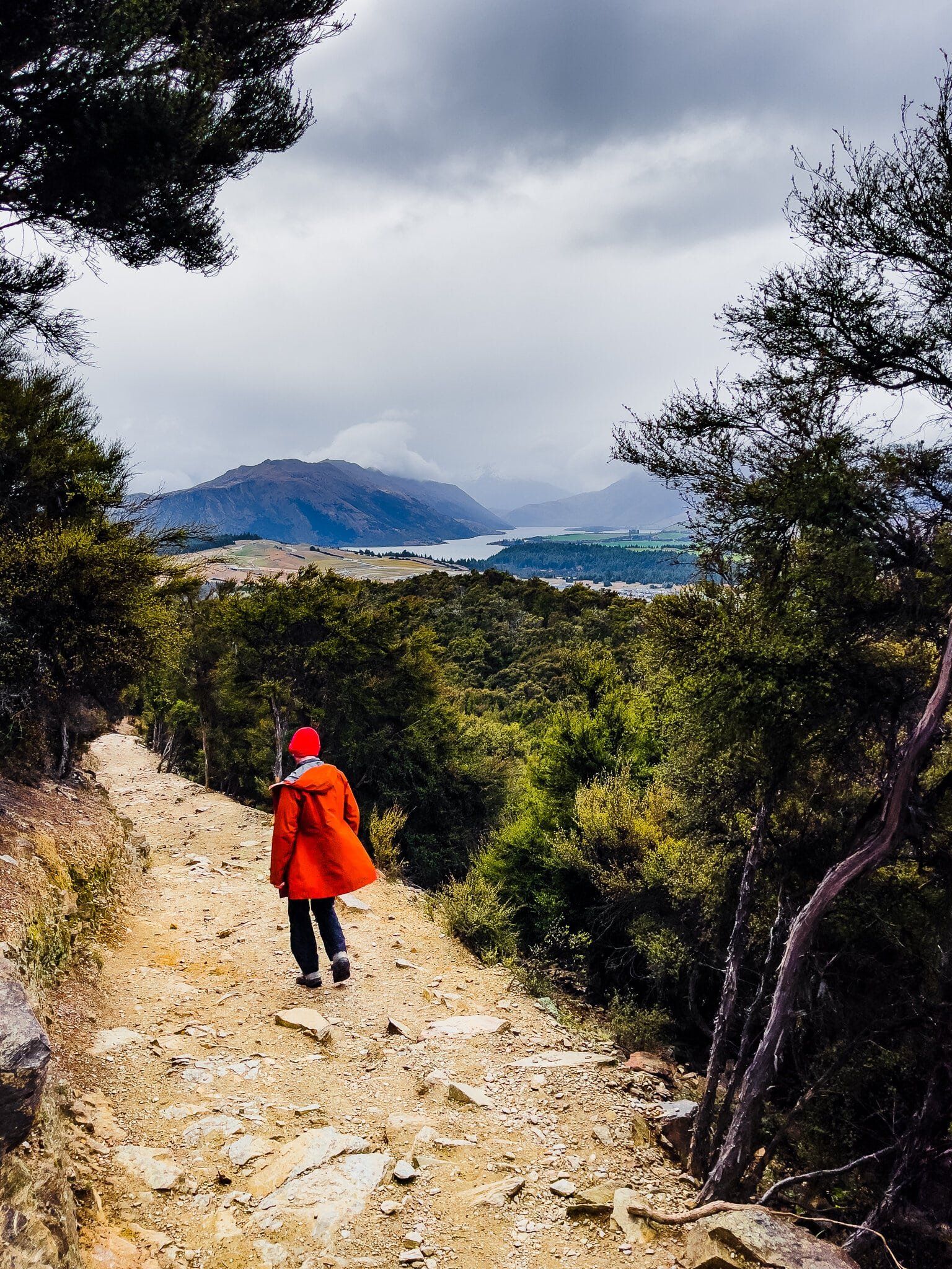
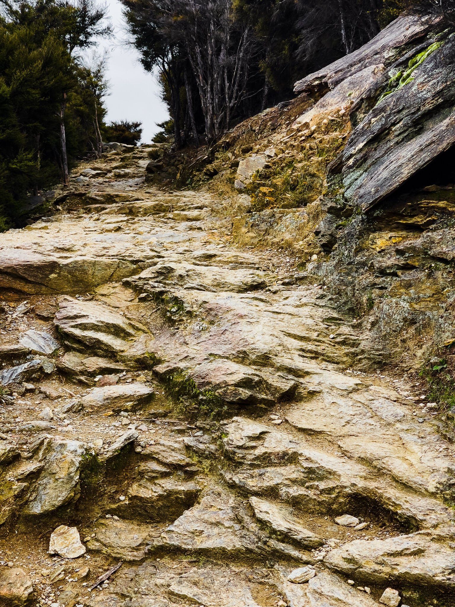
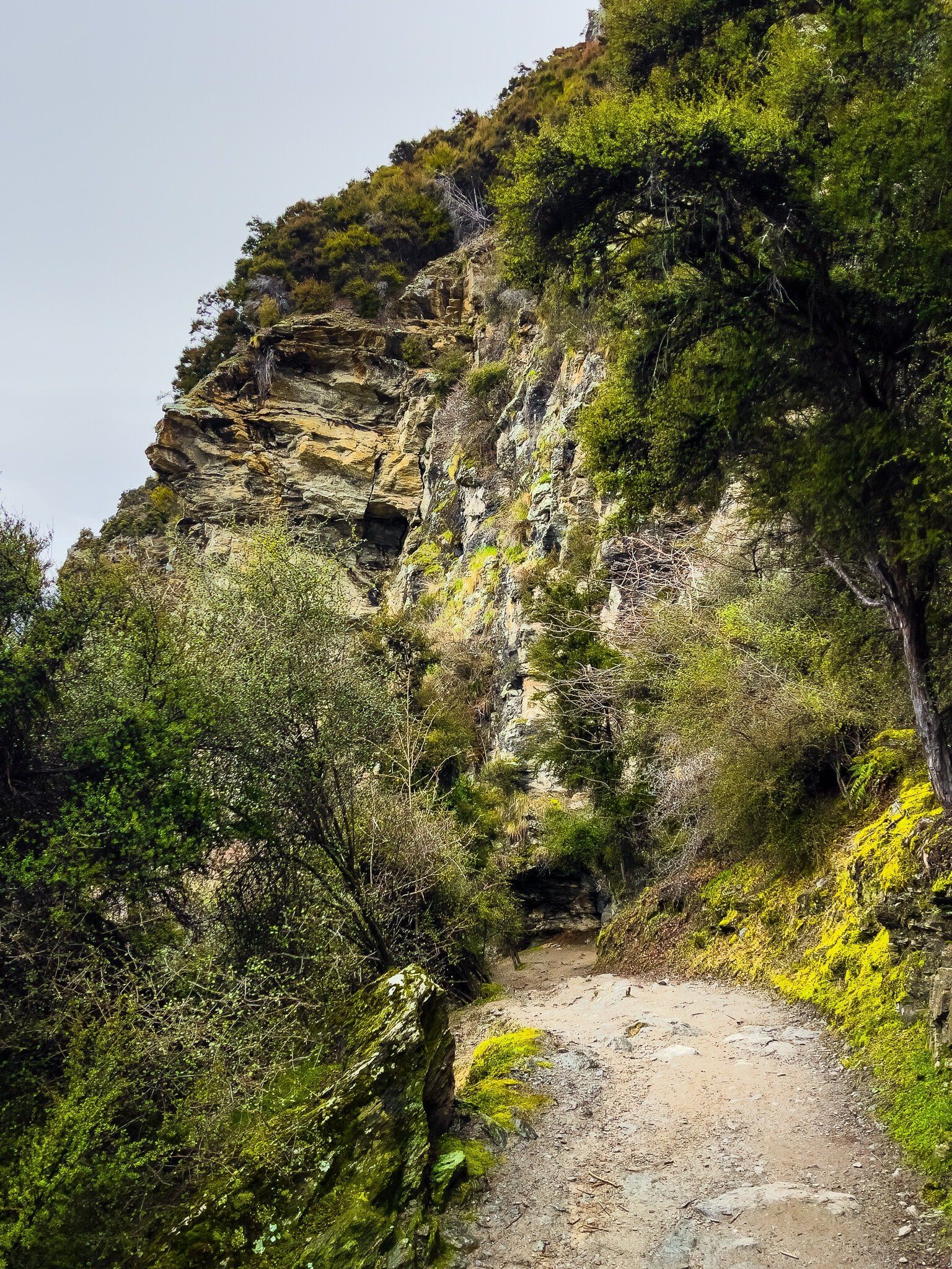
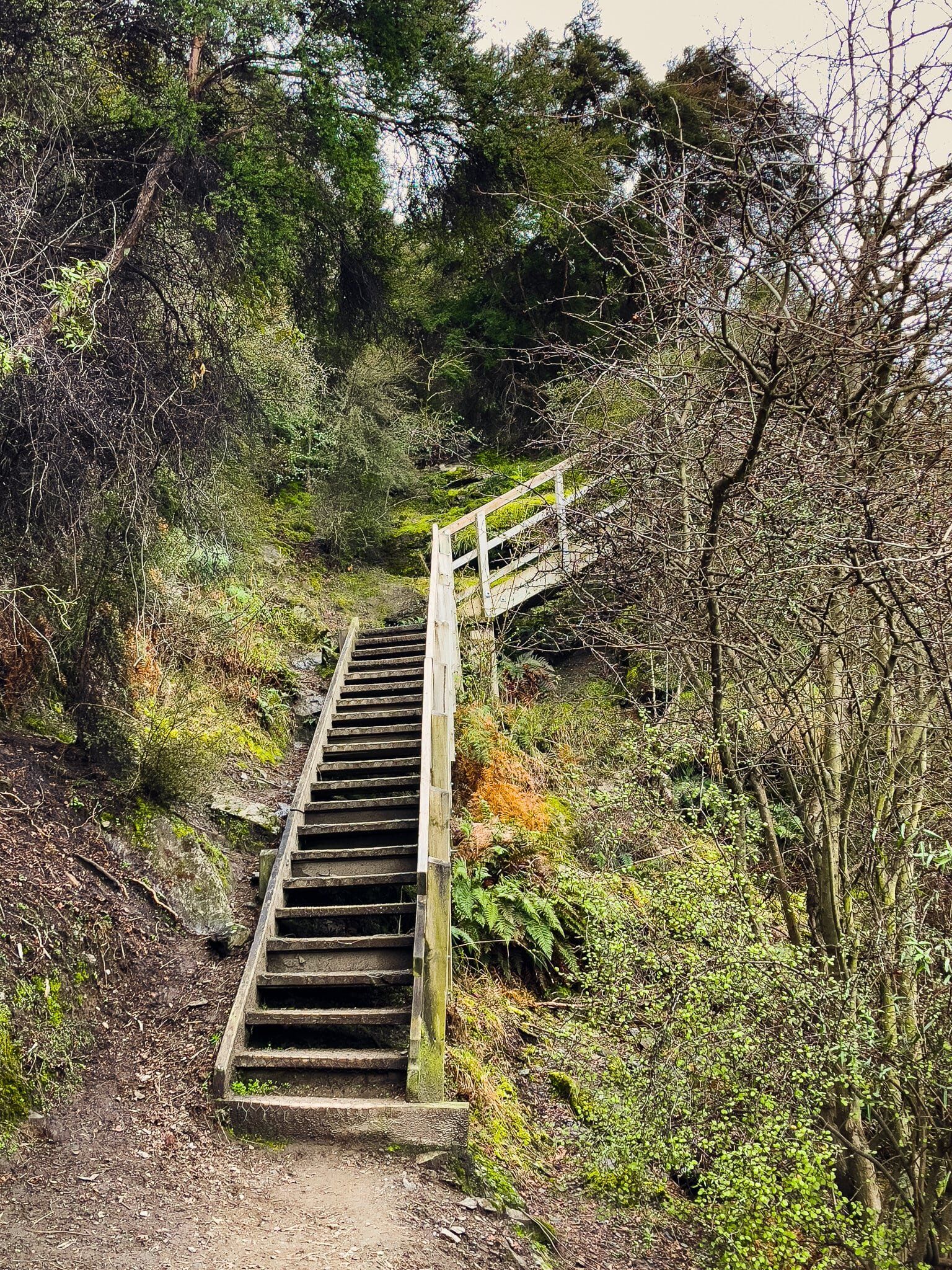
The section of the Mt Iron Track on the east side of the mount is a more interesting hike than the west side. You can start from the end of Old Racecourse Road or walk from the SH84 car park below the southend cliff to where the track starts its climb up the side of the cliff in a series of switchbacks. Most of this walk is well sheltered in kānuka forest, but with some great cliff edge views over Albert Town, plus Hāwea as you climb higher. In places the track is quite rough and rocky, but it always feels straight forward.
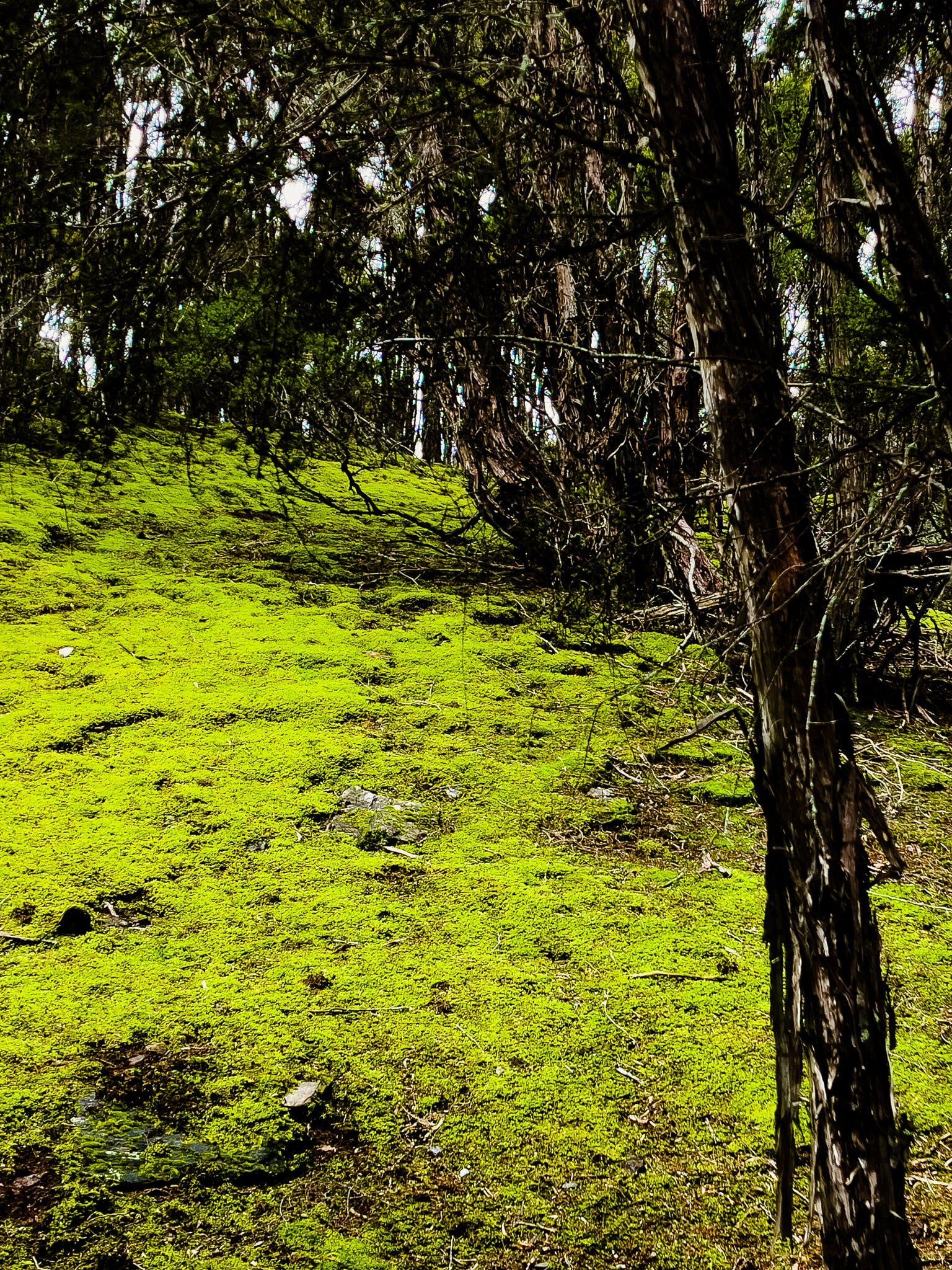
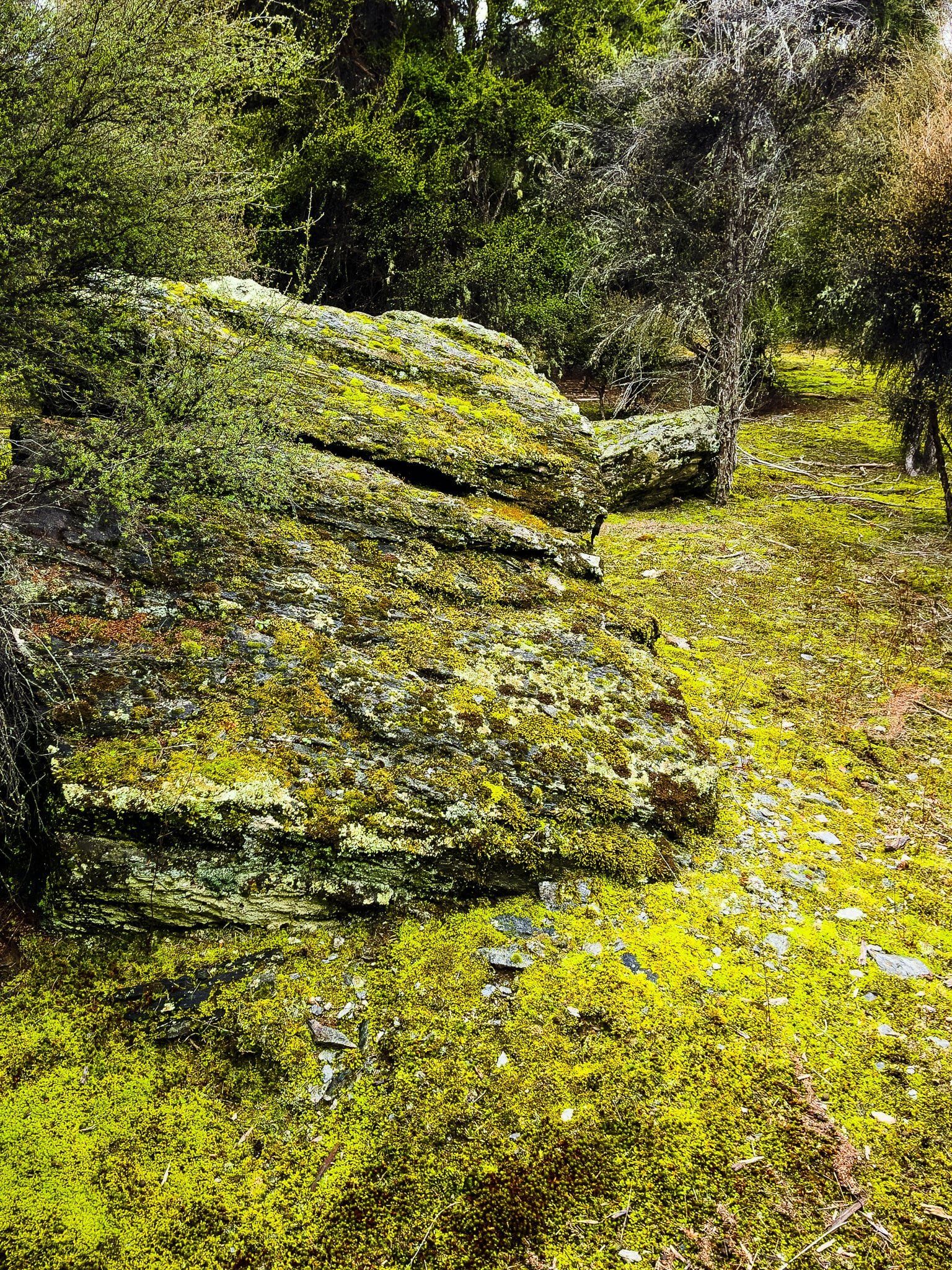
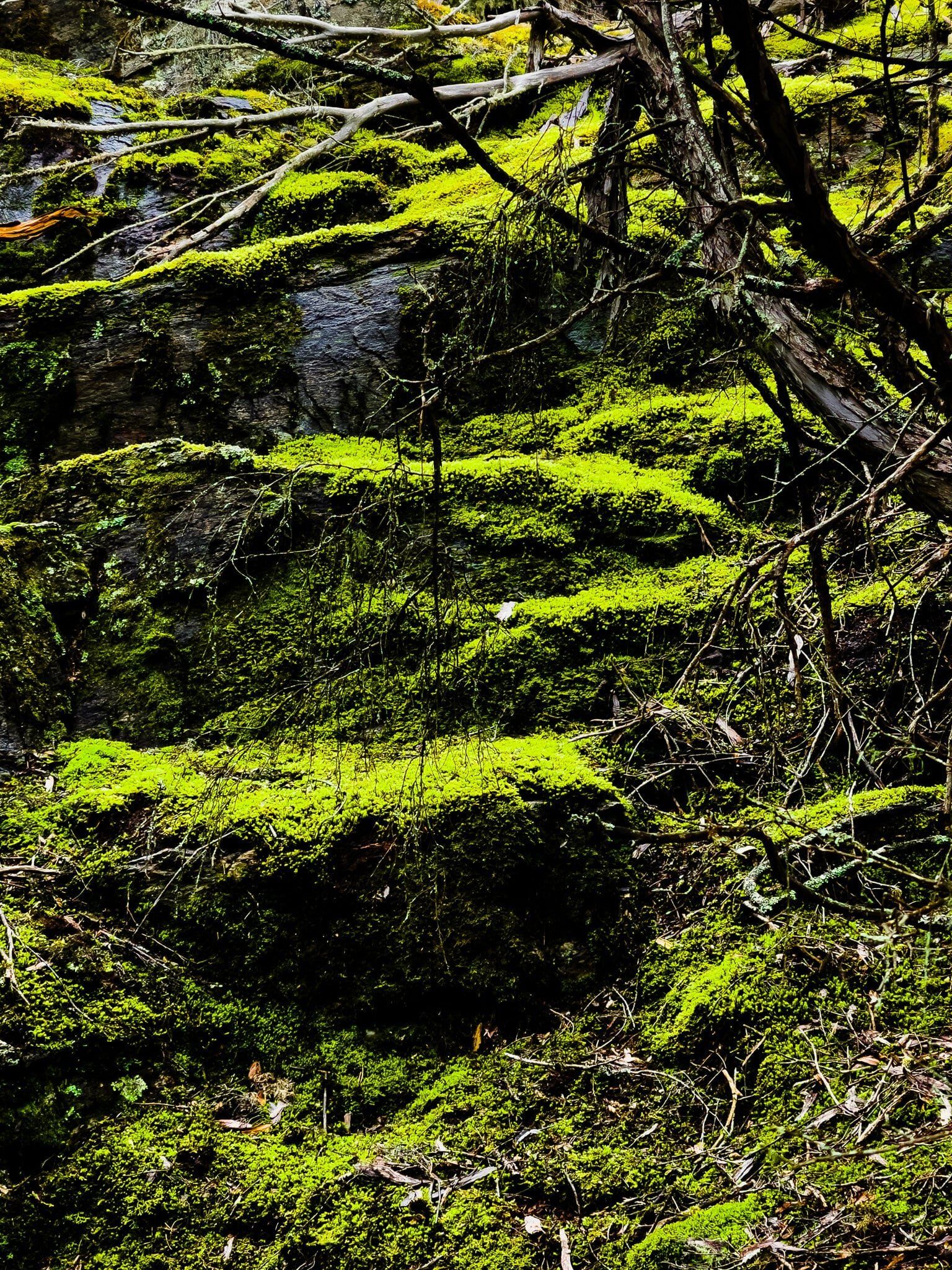
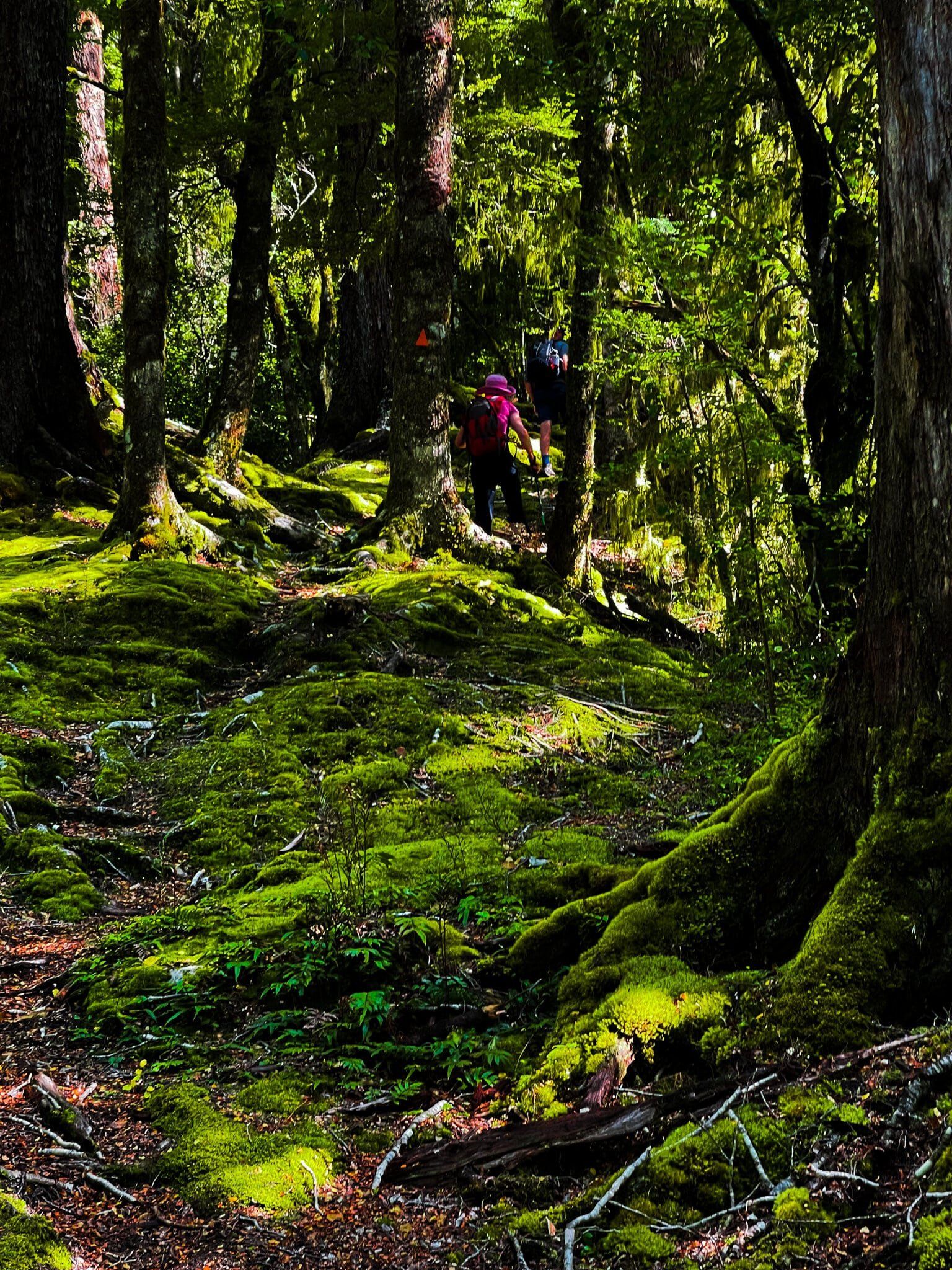
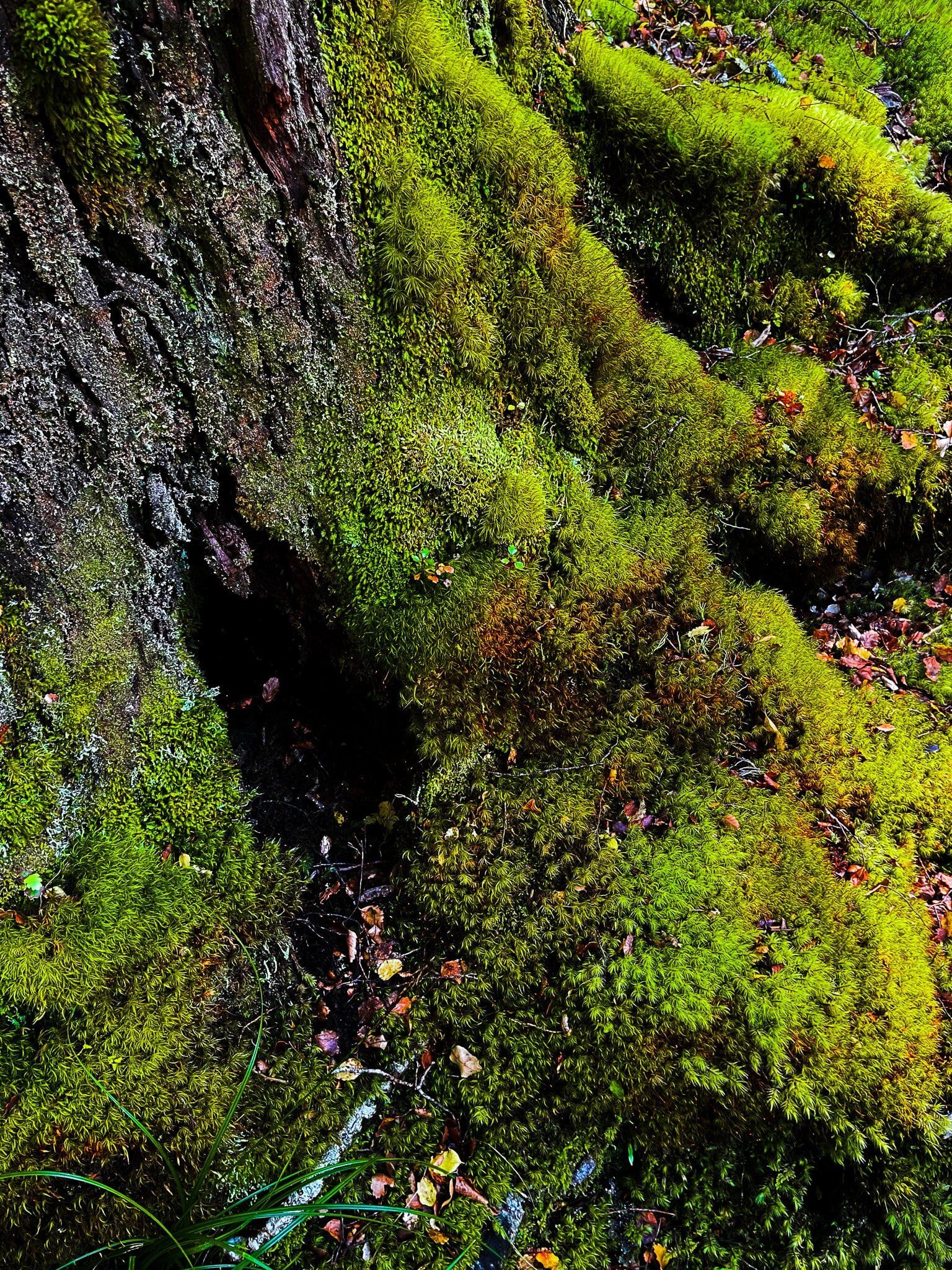
There is one almost magical section, especially when it is a bit wet. This is about halfway up where a large area of intensely green moss grows below the kānuka, creating a surprising rain forest effect in what is normally a pretty dry place.
That Wanaka Tree
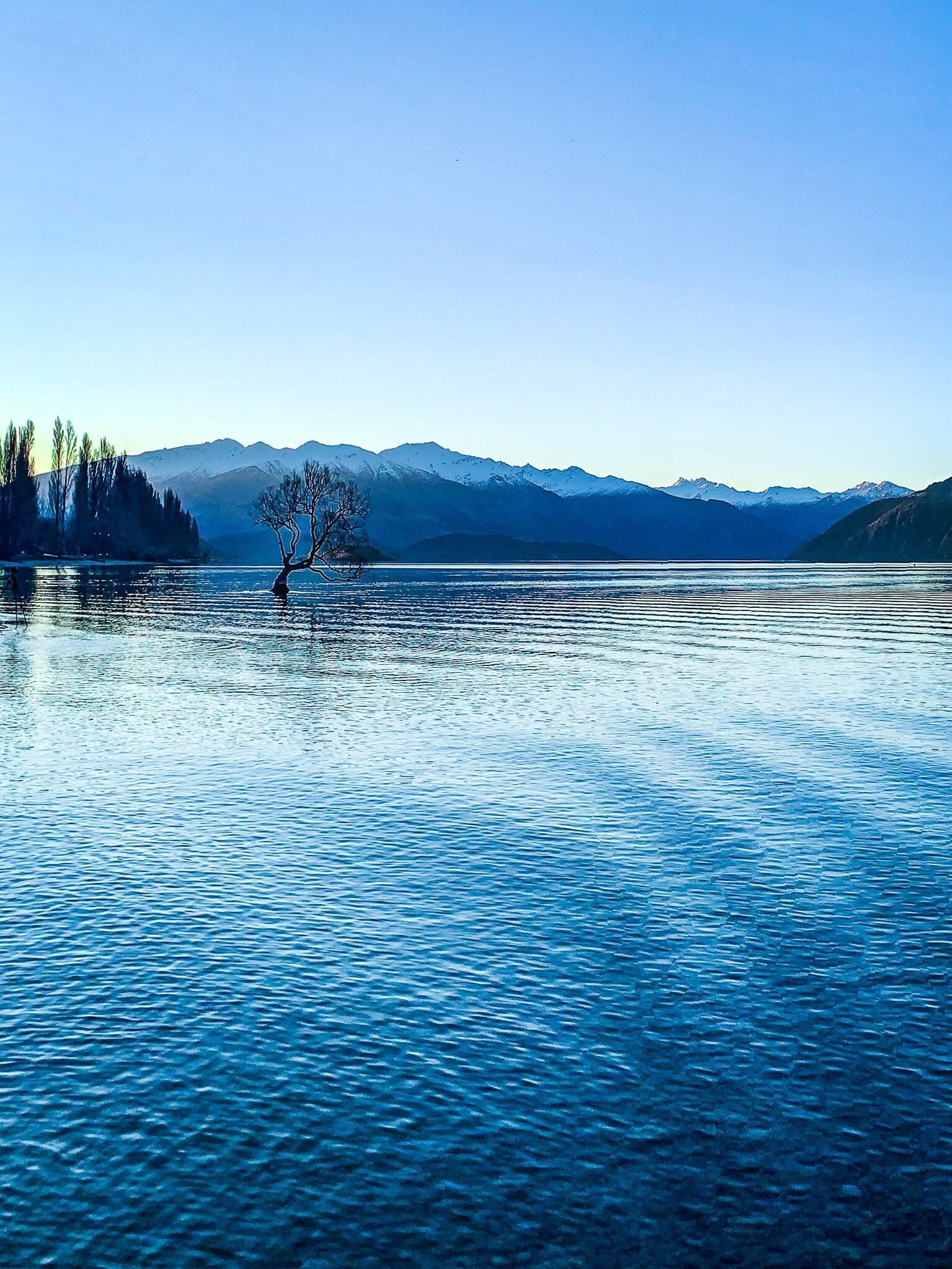
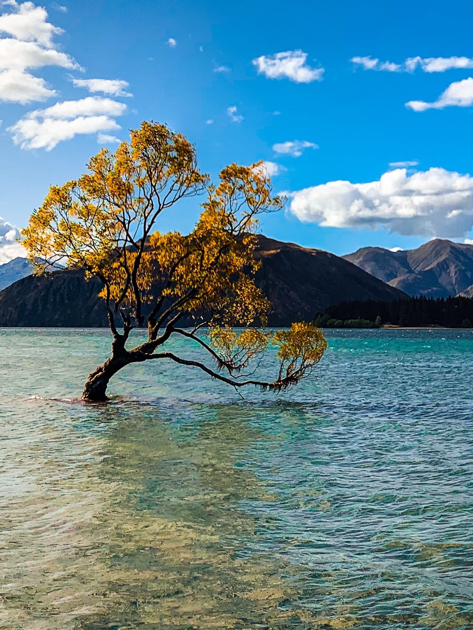
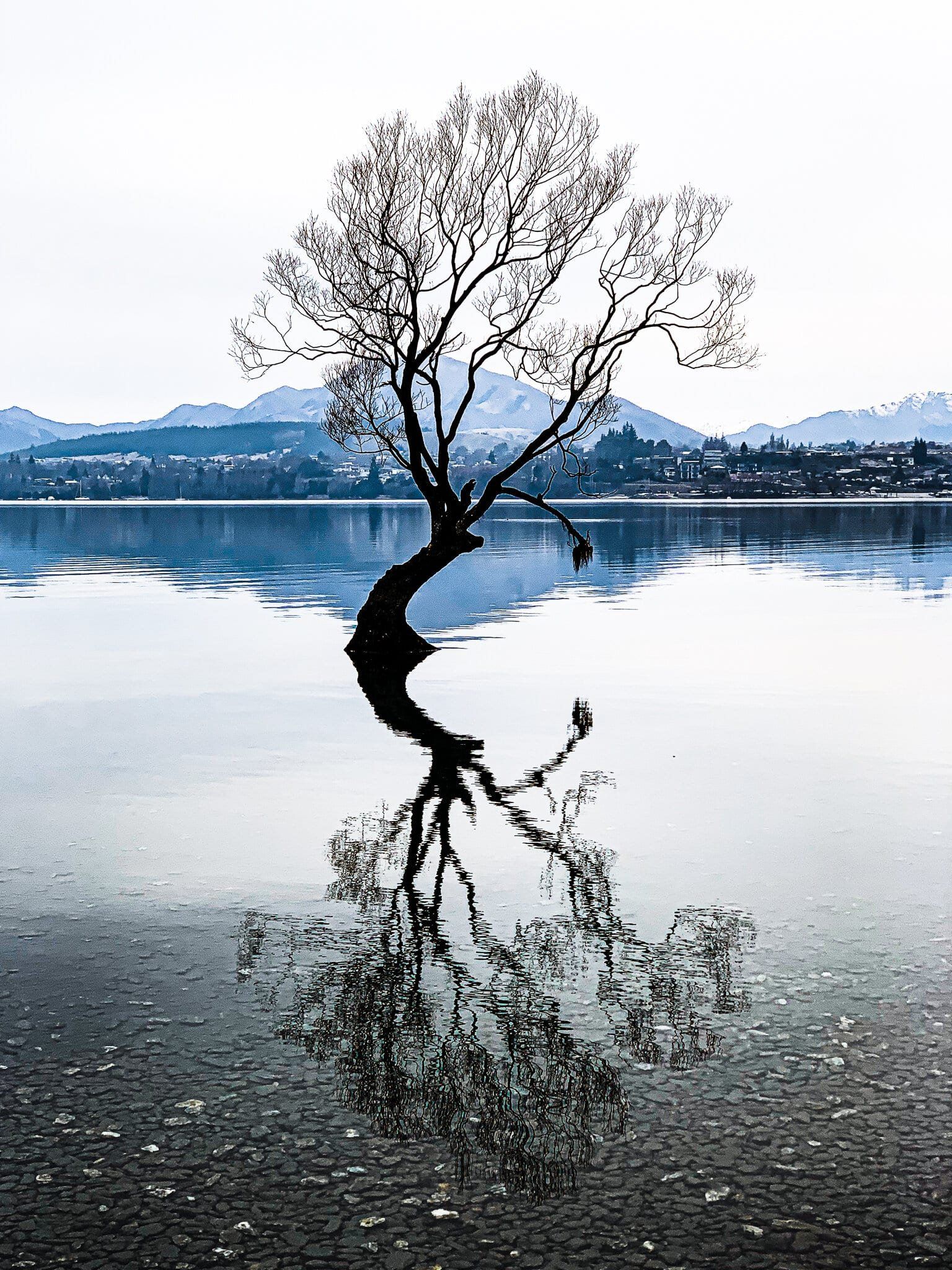
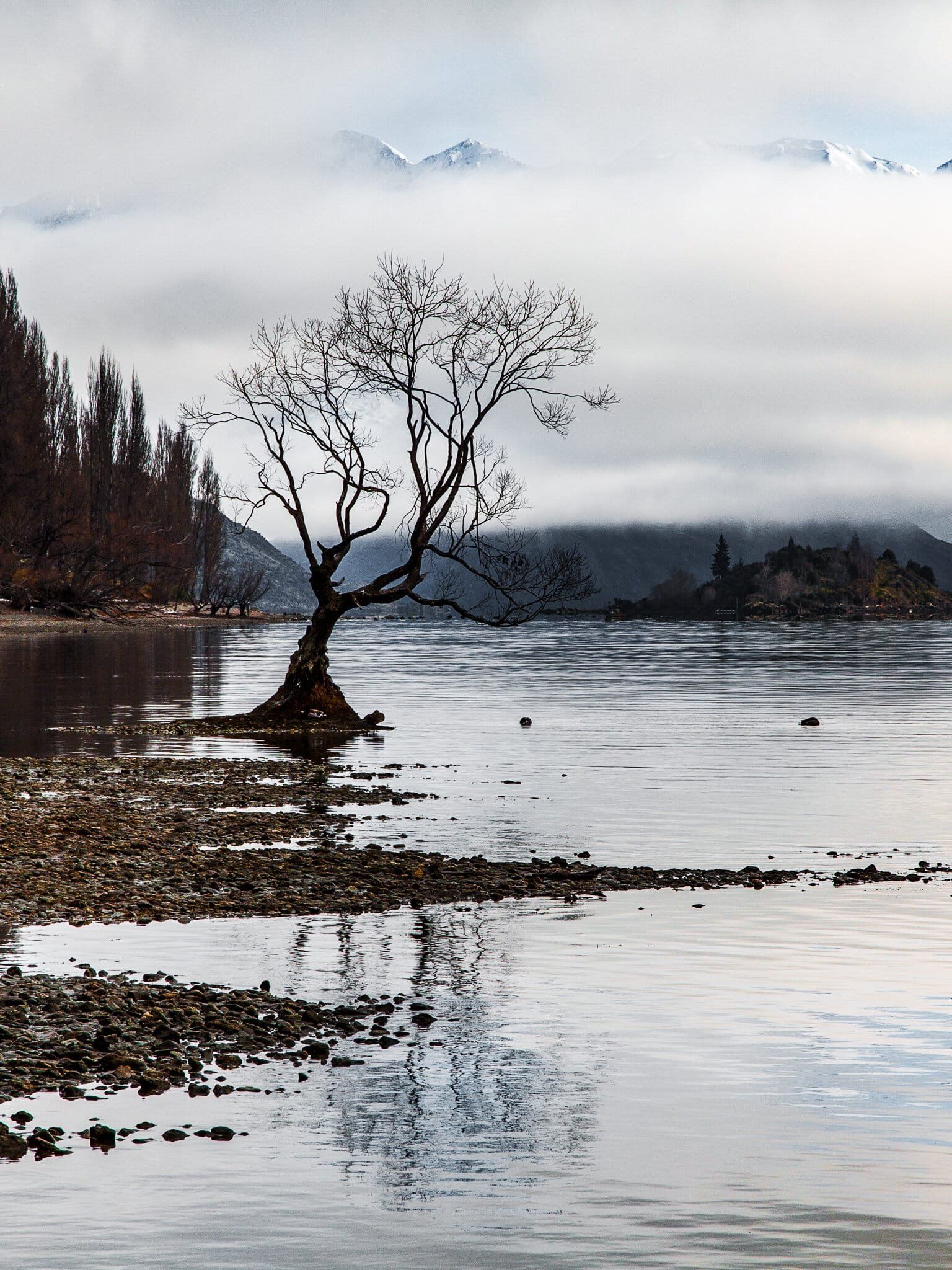
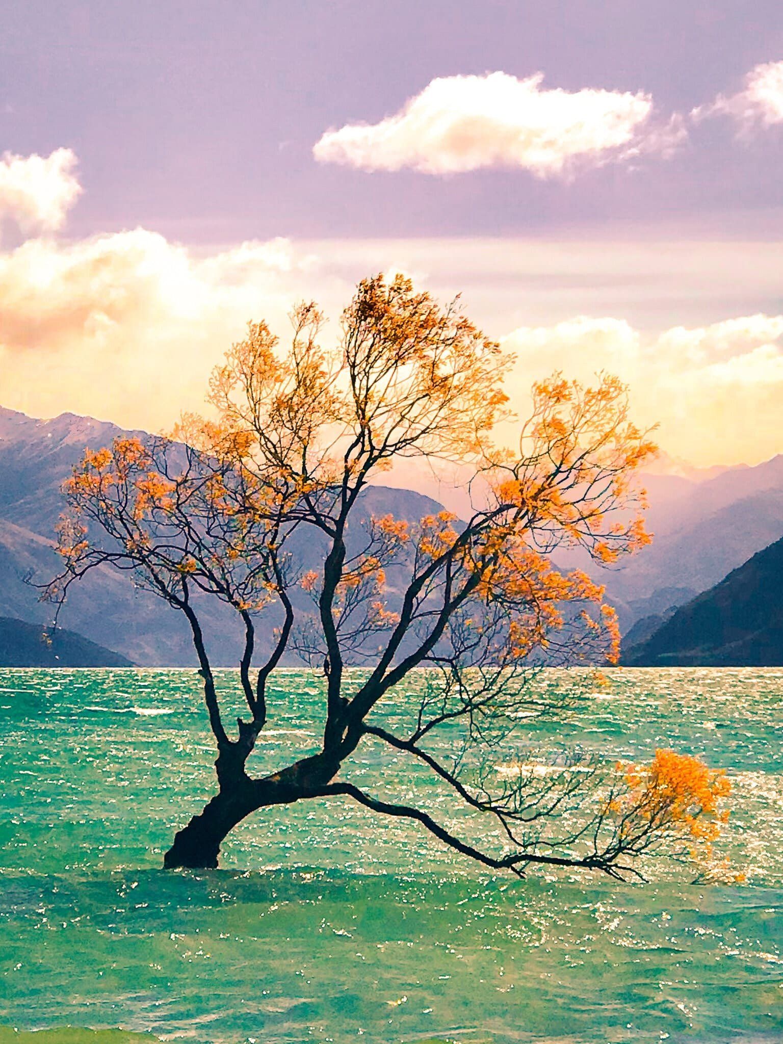
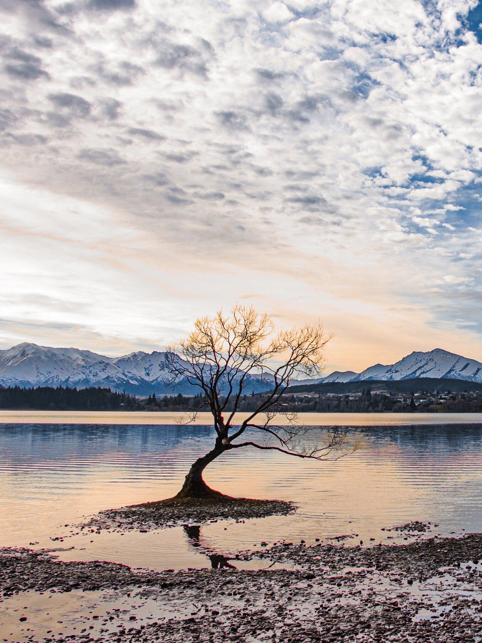
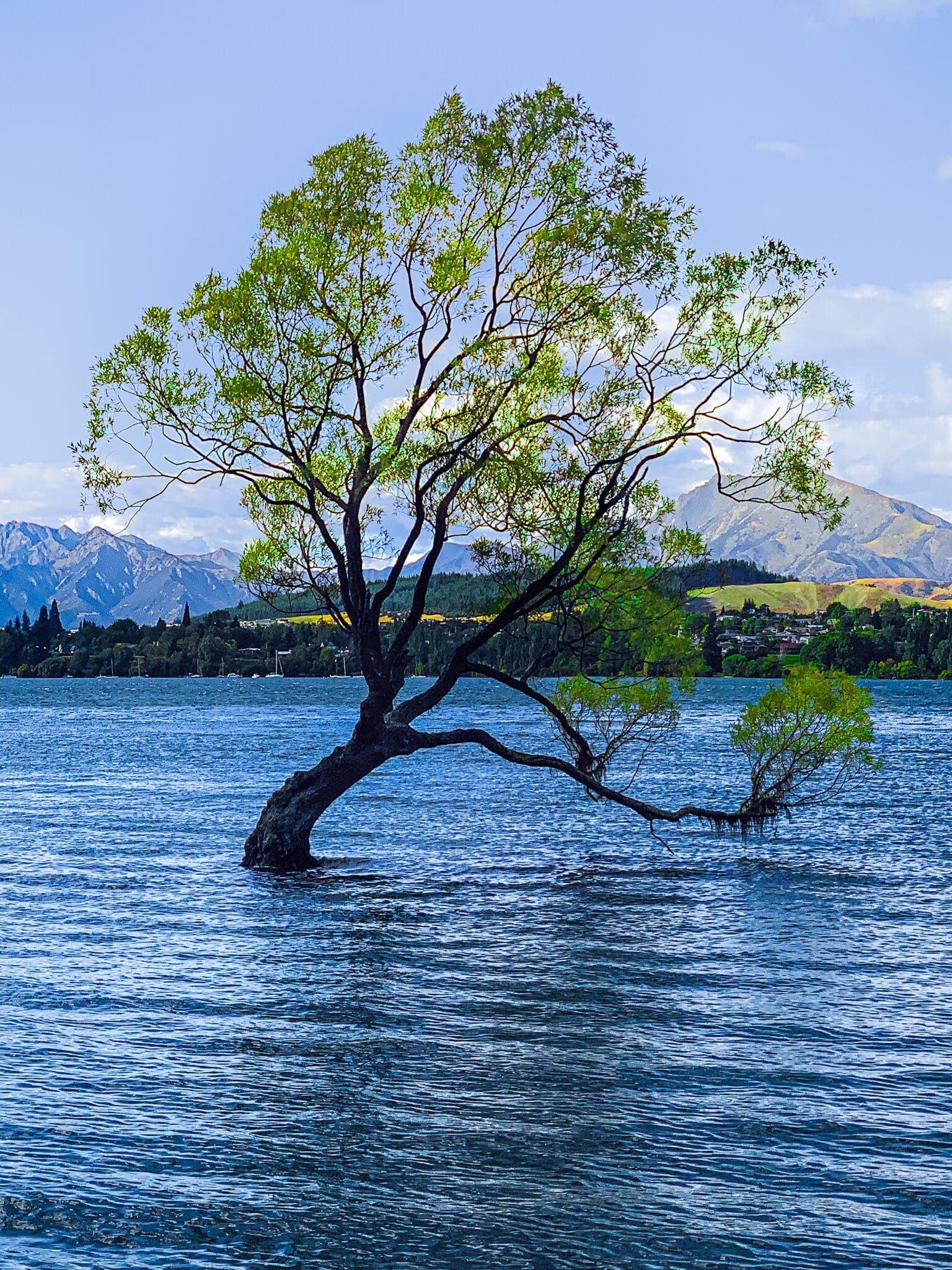
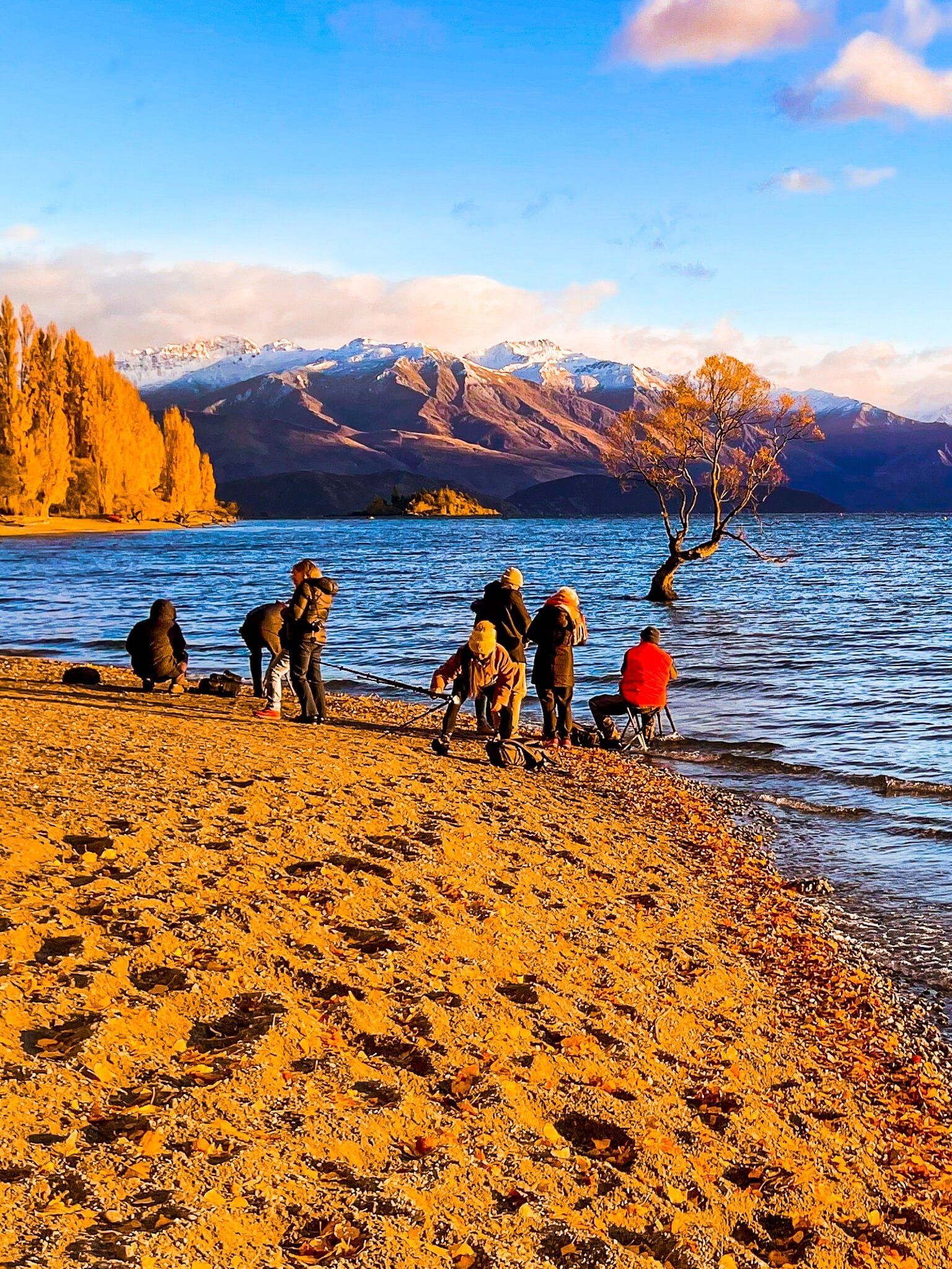
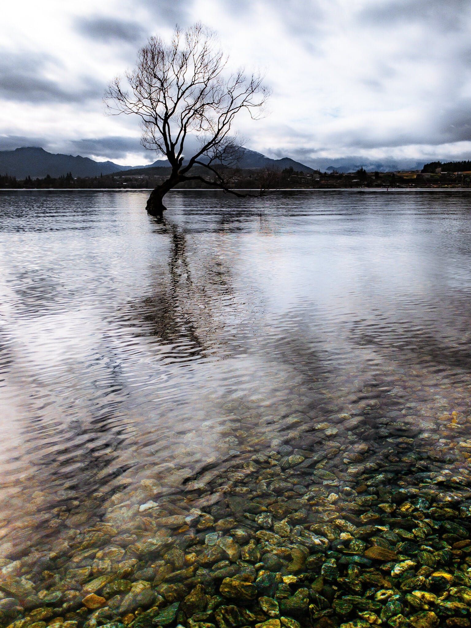
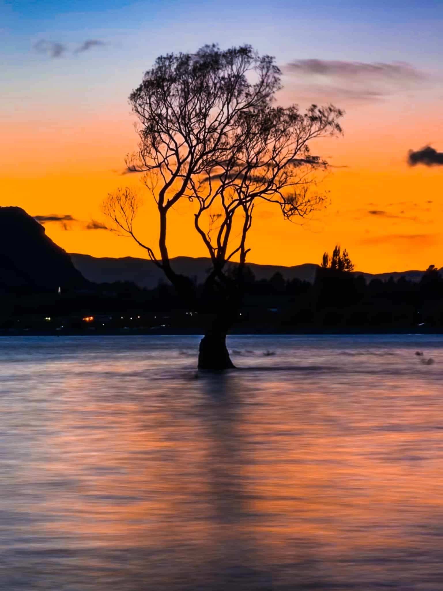
That Wanaka Tree is the kind of thing you hate to love. It’s been there, largely overlooked, for at least 90 years, having sprouted from a willow fence post. Then Dennis Radermacher took a photo of the tree in 2014 and won an award. From there, it has progressed to being one of the most photographed trees in the world, with its own social media presence. Sadly, it was vandalised a few years ago, with a prominent lower branch partially hacked off, but fortunately the tree is still going strong.
Finding the tree is easy – walk west along the lake from the town centre until you see it (about 10 minutes). There is also a lakeside car park close to the tree, but you will need to do a bit more than just turning up to get that idealised shot. Getting up before sunrise, planning your angle to get the mountains in the background – or poplars in autumn (you will need a telephoto lens for this one to work), and practicing your long exposures to smooth out the water are some of our top tips. Here are a few of our attempts over the last few years.
On the Lake
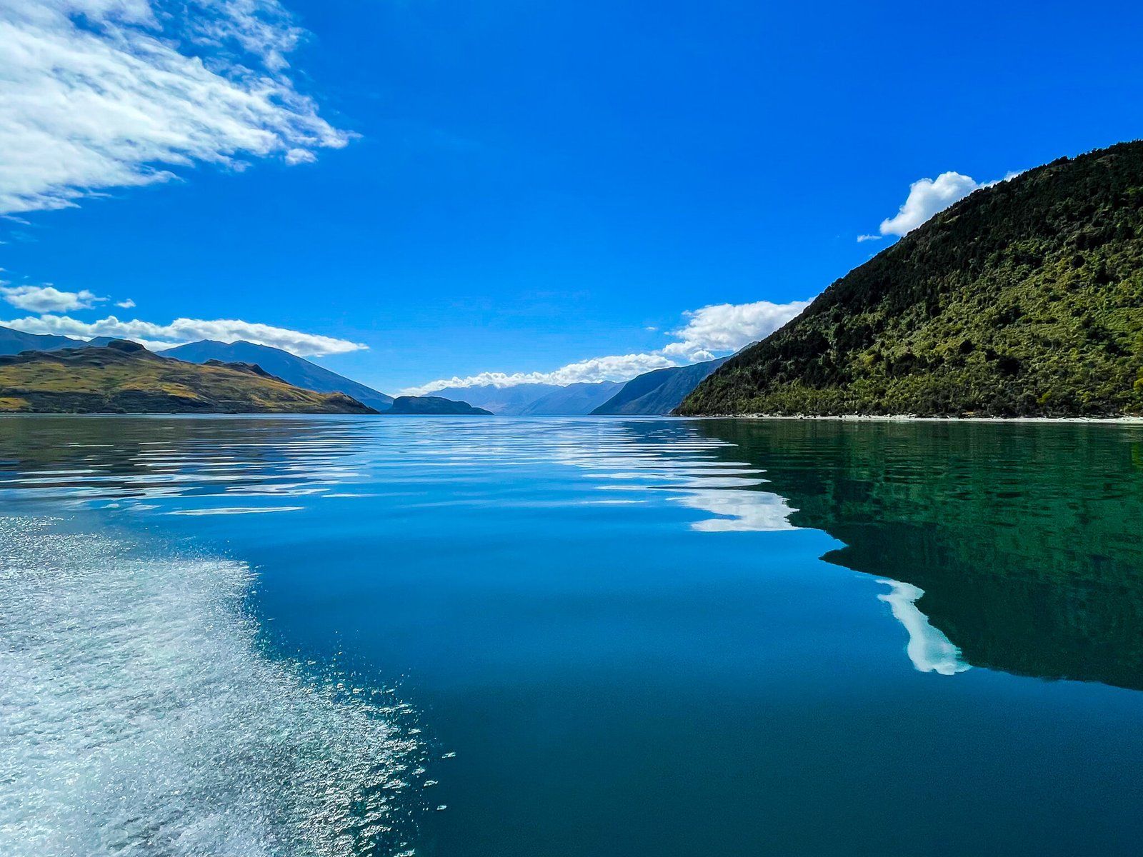
One of the obvious things to do at Lake Wanaka is to go out on a boat. As these are paid activities (unless you have your own or access to a friend’s boat) we don’t cover the options here, apart from noting that you can get a water taxi to some of the more remote locations around the lake, for example beautiful Mou Waho which is about a third of the way up the lake. Try to take your boat ride on a calm day!
Mou Waho
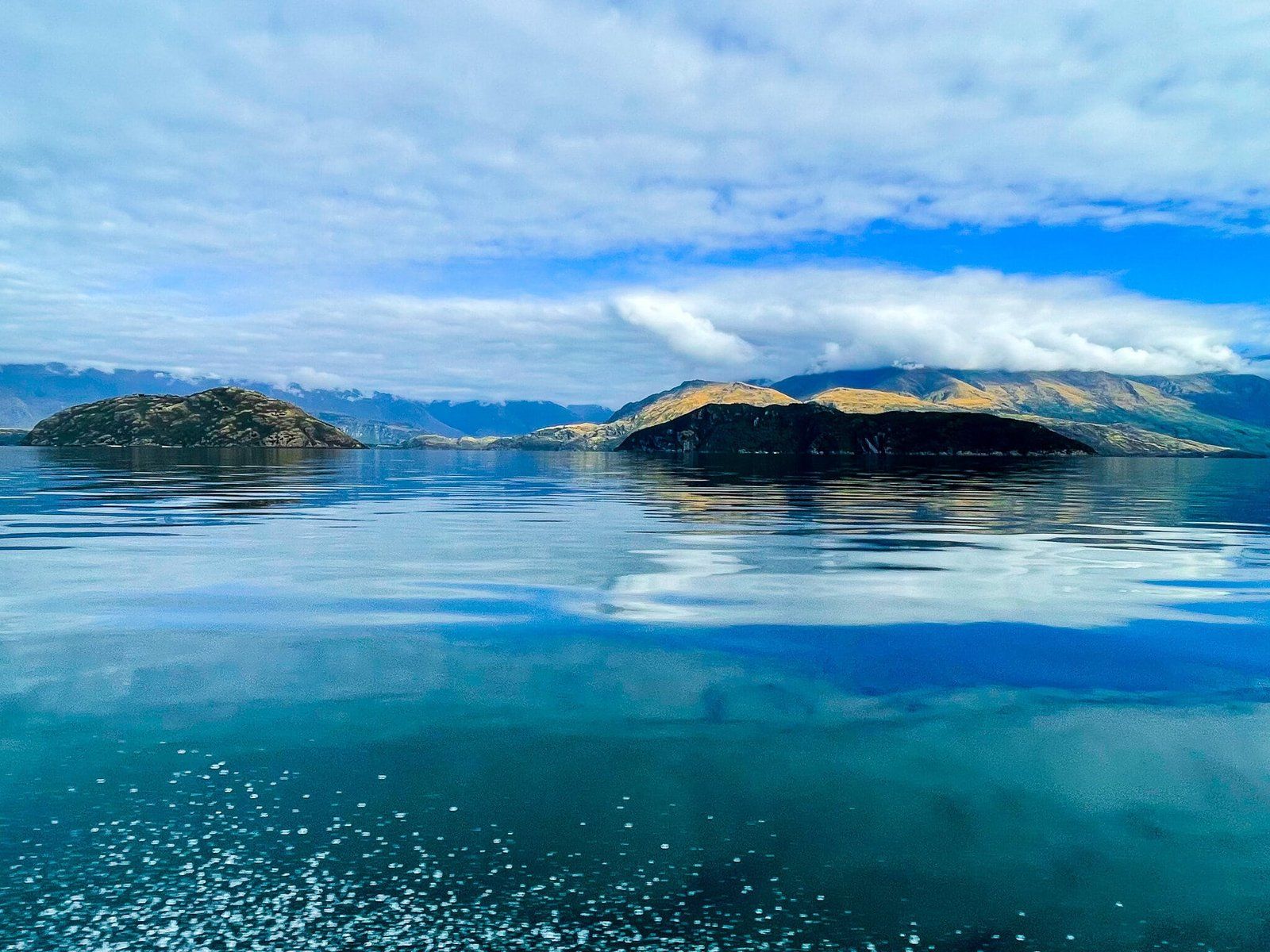
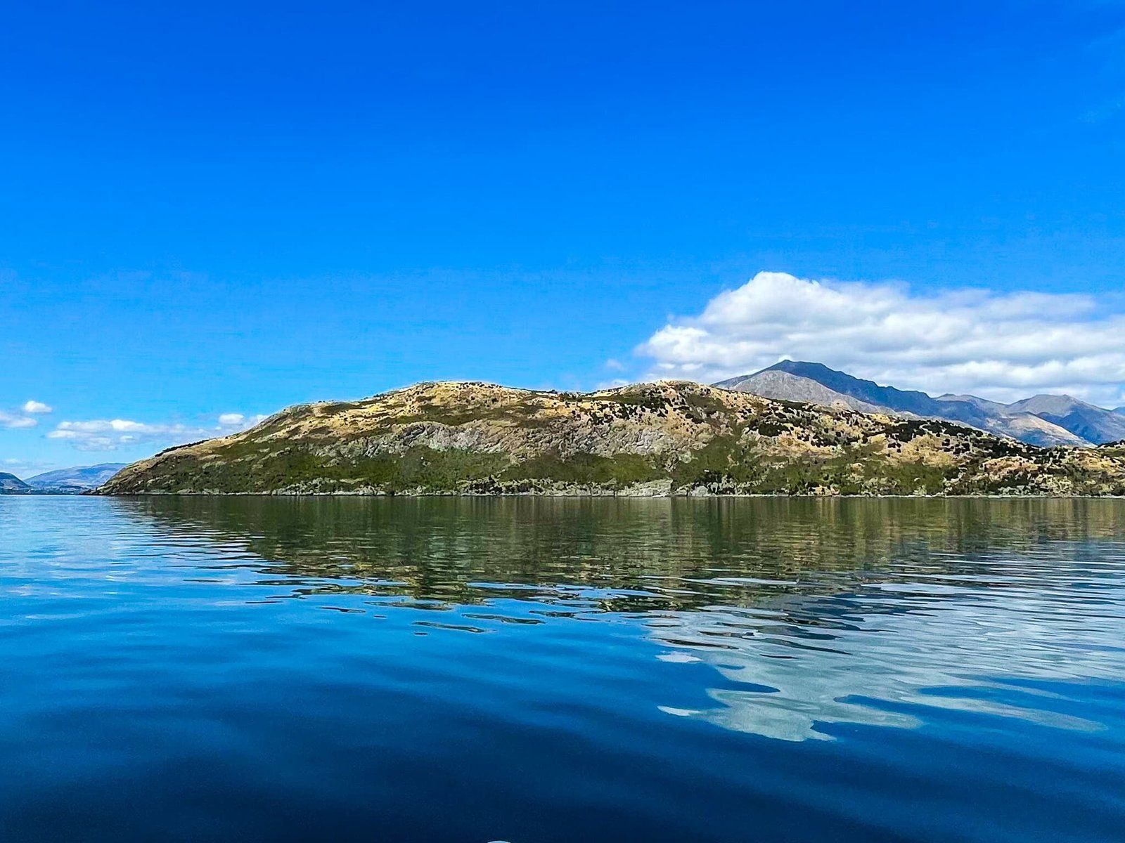
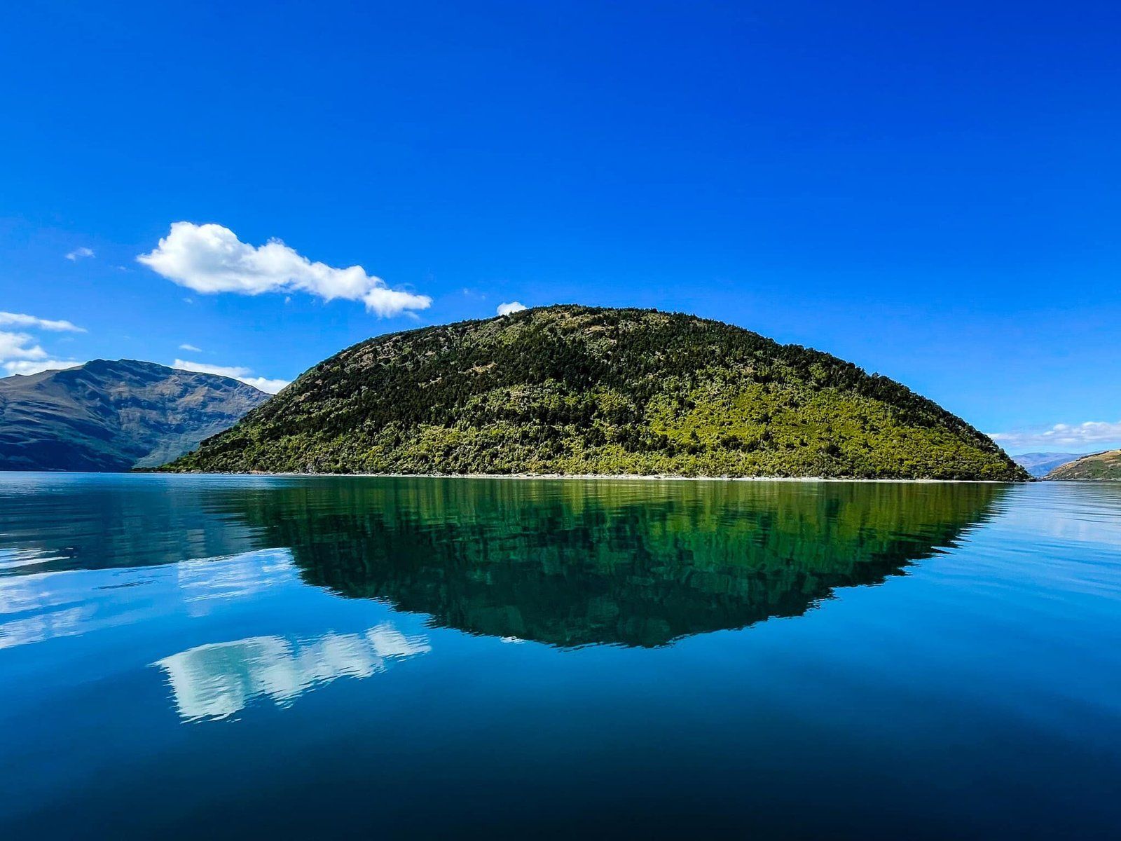
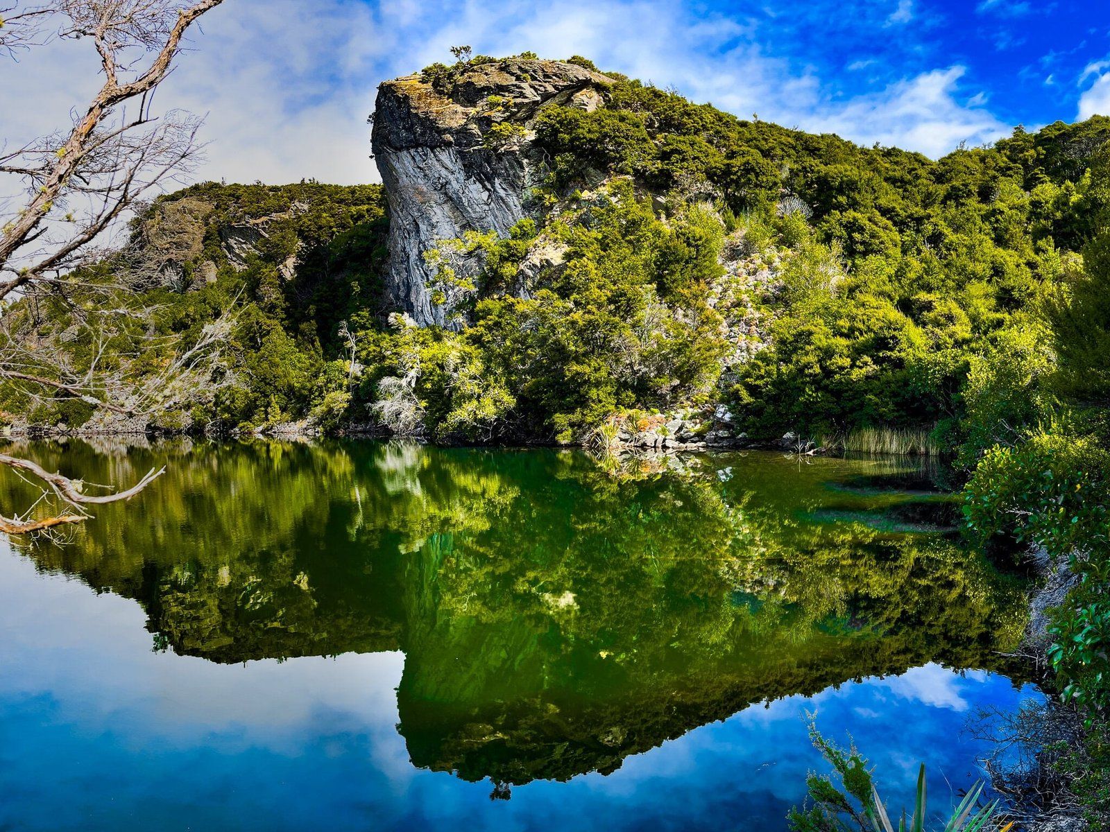
Mou Waho is not as well known as That Wanaka Tree, Mt Iron, or the hike up to Roy’s Peak, protected by the fact that it is an island about a third the way up the lake. But it is catching up in popularity due to the astonishing view of the lake within a lake you get from a stunning clifftop high point.
It takes about 30 minutes to get from the town to the small wharf (where you can get on and off the boat) on the east side of the island. If you have your own boat, park by the beach to the north of the wharf. There is a small DOC campground and facilities next to the wharf and beach.
From the campground, follow the obvious track through regenerating forest for a 200 metre climb to the top of the cliff (also the high point) of the island. Along the way you will pass Arethusa Pool, which the cliff towers over. From the rocky platform at the top, you will get the fantastic shot back towards Wanaka, looking over the pool. On the way back, take a dip in the pool if it’s warm enough!
Bird life is also a feature of the island, which is a sanctuary. There are a large number of korimako (bellbirds) and numerous south island weka, who will largely ignore you.
Cardrona
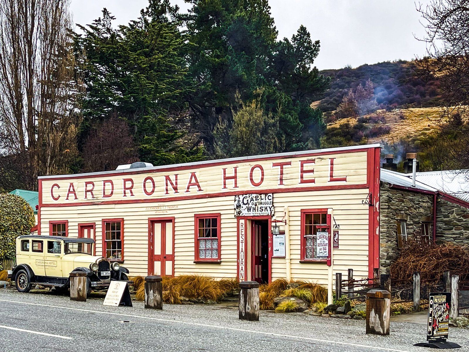
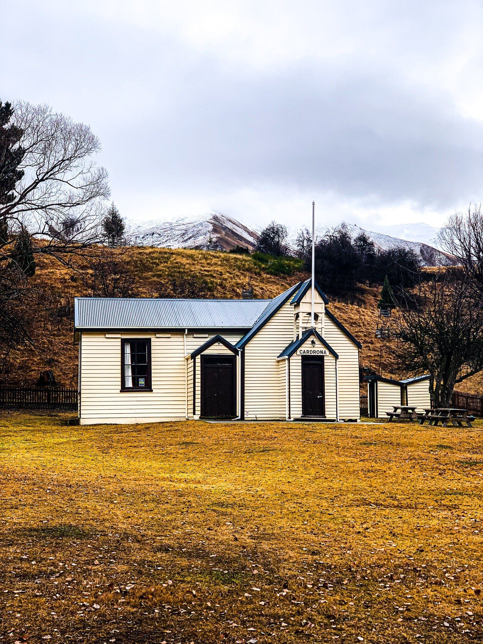
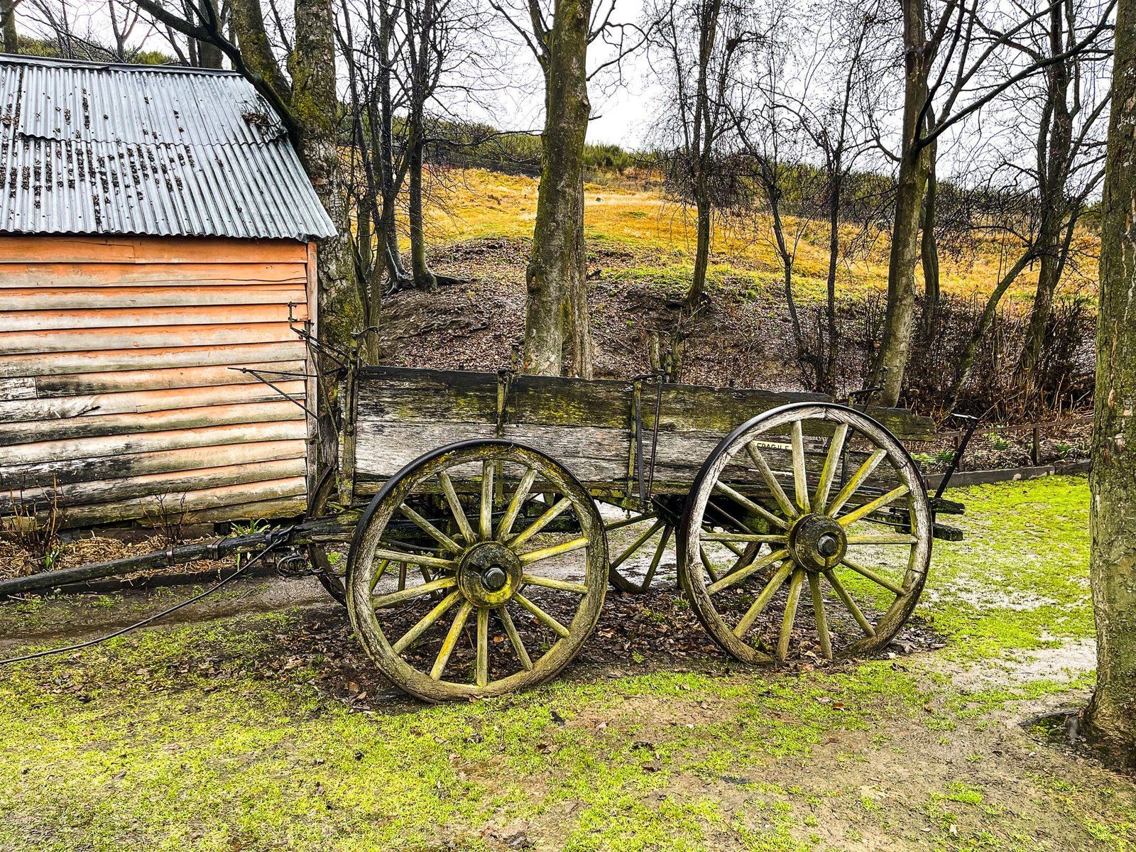
For a long time, the only obvious points of interest in Cardrona were the famous hotel and the access to ski fields. This is one of the oldest hotel-pubs in NZ, once marking a stopping point on a famously difficult stagecoach trail from Queenstown over the Crown Range to Wanaka. But there is now a bit more to Cardrona and every year there are a few more houses and holiday homes scattered along the valley.
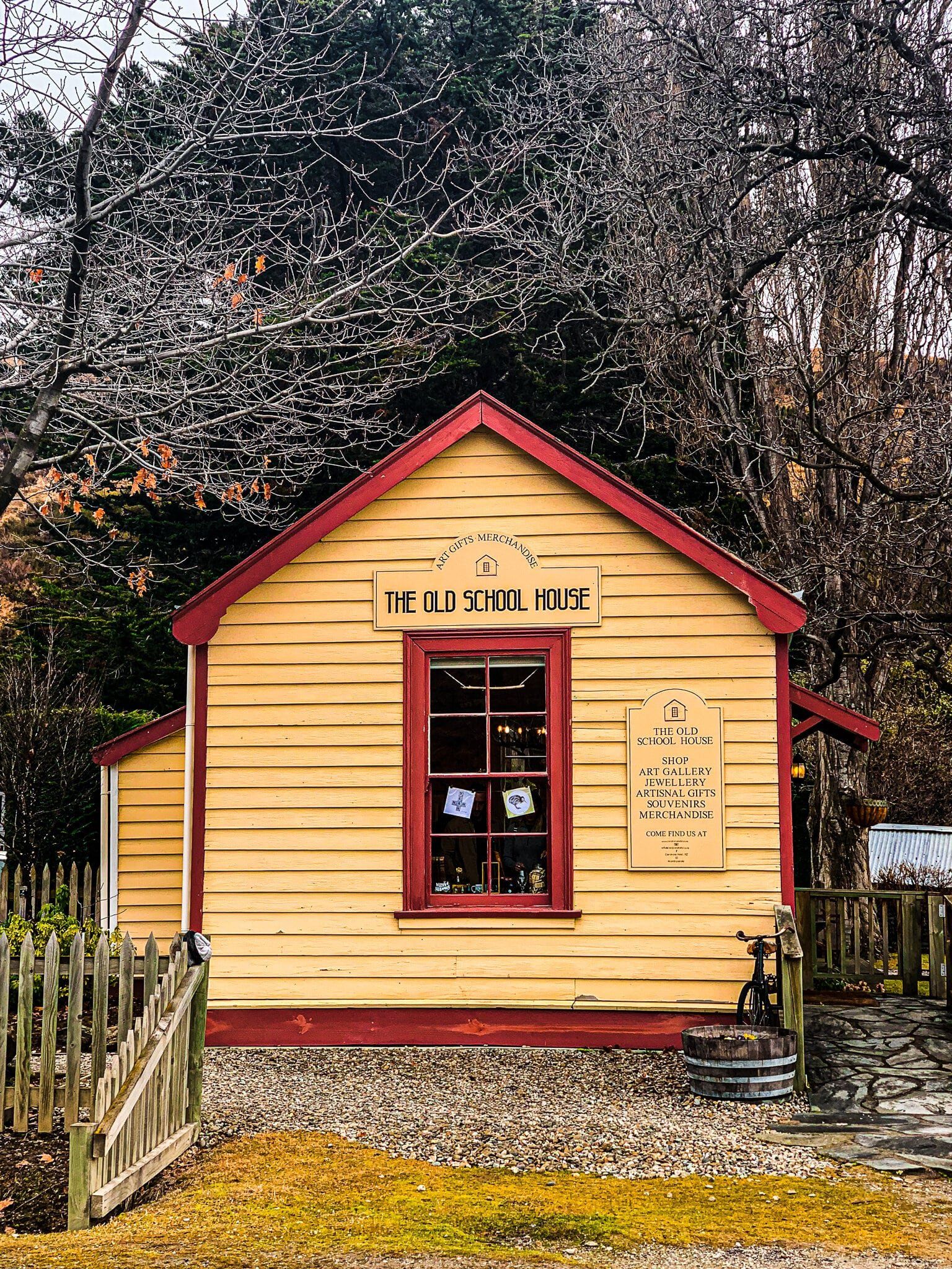
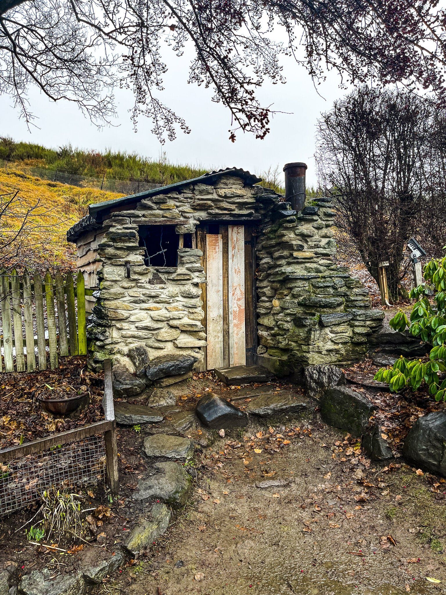
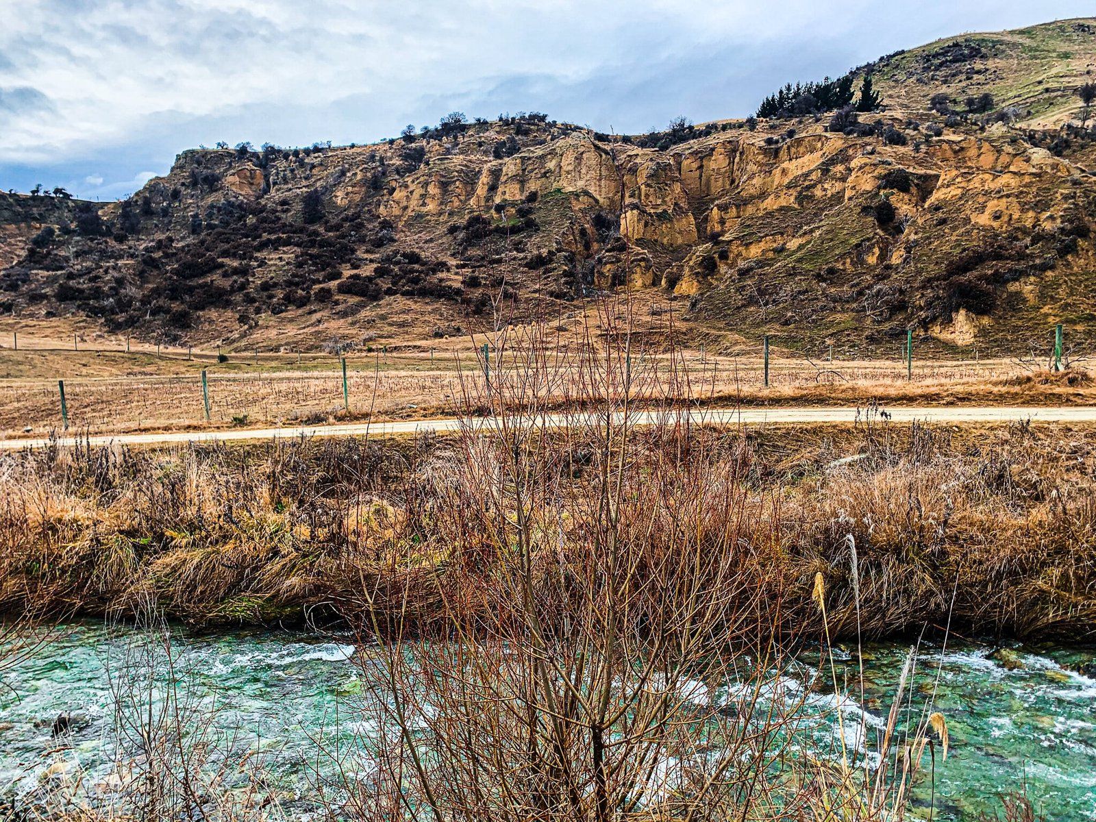
From the car park opposite the hotel, walk down to the Cardona River for a better view of historic gold diggings, the craggy looking small peaks on the side of the river. Then wander over to the historic church and school, before heading back to the hotel for a step back in time and a meal or a drink.
West Wanaka
The main reason for following the Wanaka Mount Aspiring Road to West Wanaka is to get to the campground at Glendhu Bay and the start of the track along the west side of the lake to Coquhouns Flat and beyond. For an alternative further off the beaten track, follow West Wanaka Road, Short Road, and then Buchanan Rise to find yourself on Roys Peninsula. The road is a dead end but you will get a nice view back over some paddocks and the flats of The Island to the Harris Mountains.
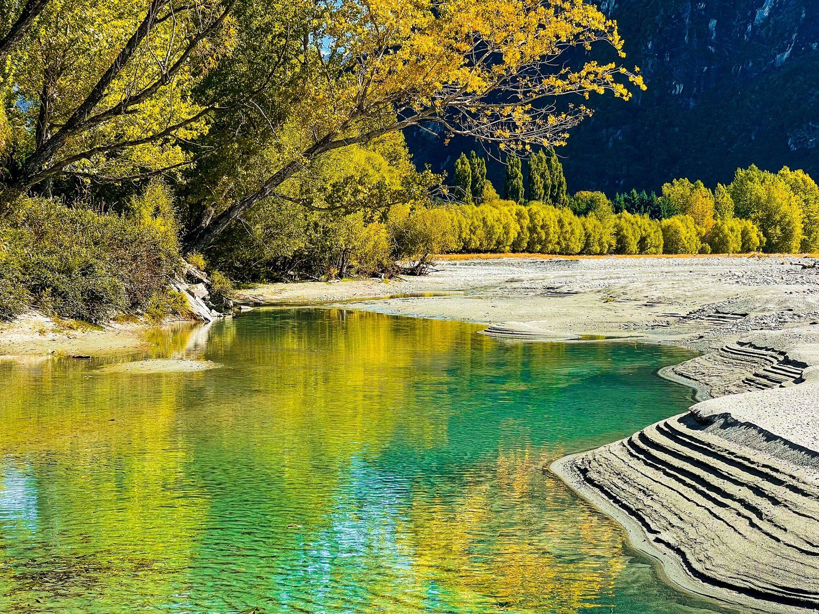
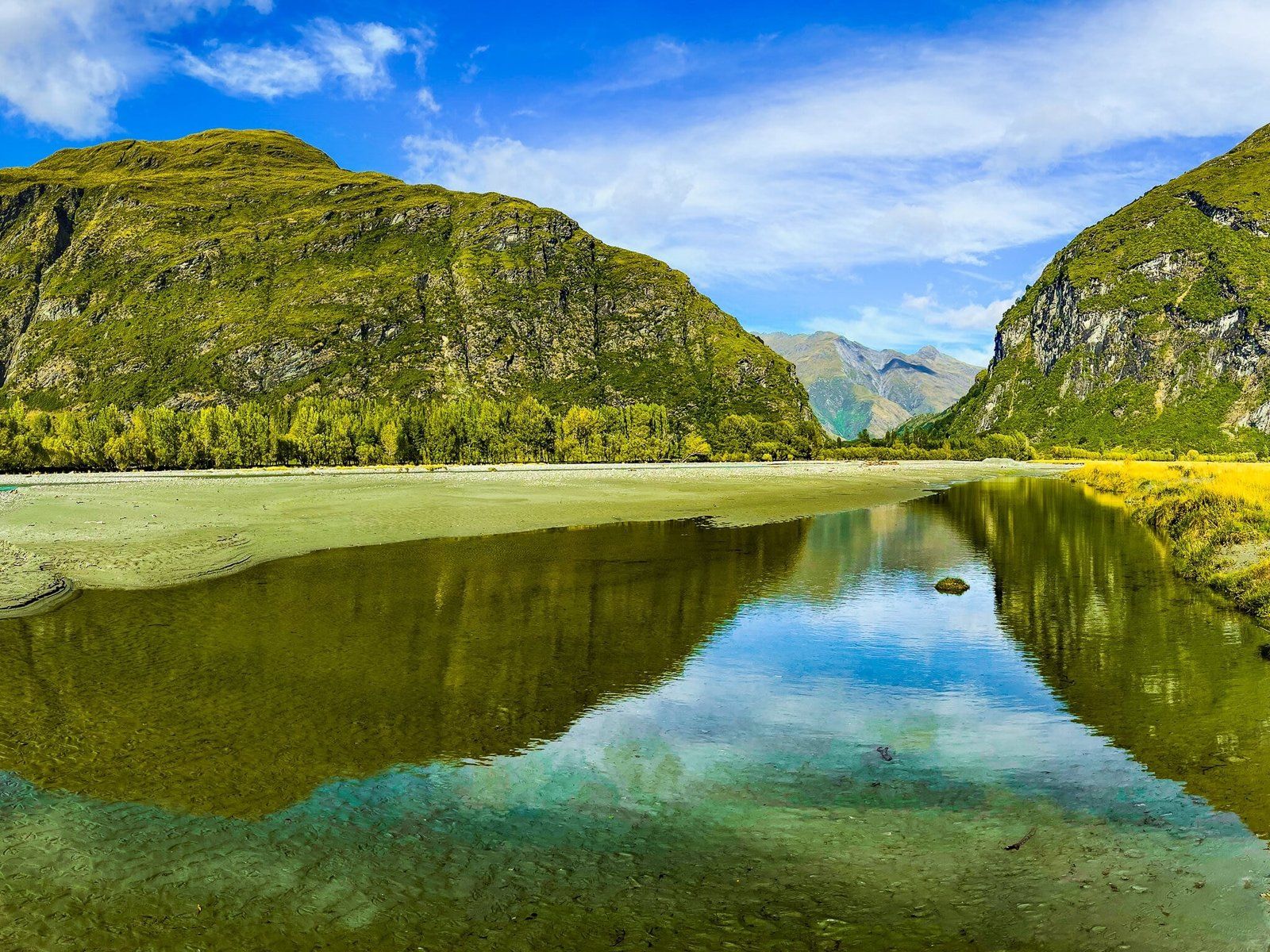
From Buchanan Rise, you can drive down onto The Island, a large area of river gravel and sand on the southeast side of the Matukituki River outlet. Perfect for wandering around and searching for the ideal stone to spin in the lake, or just settling in for a picnic.
Glacier Burn Track – Station
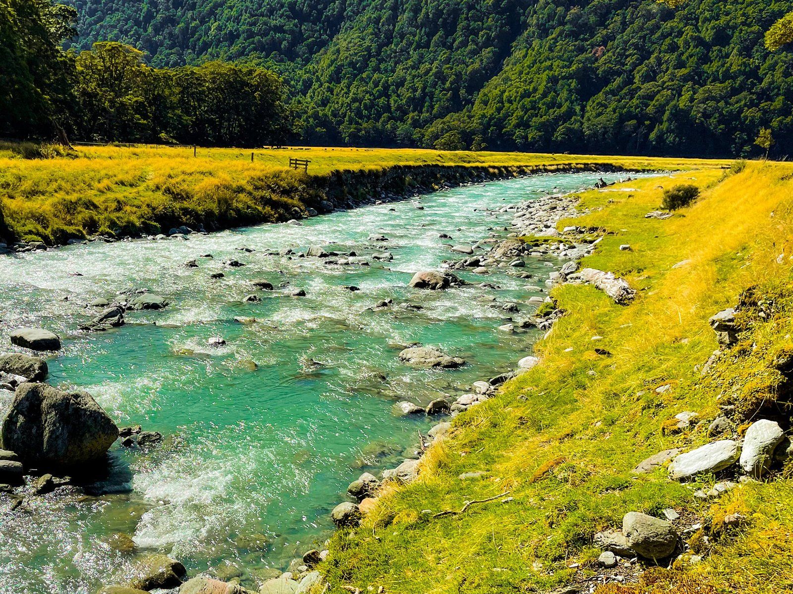
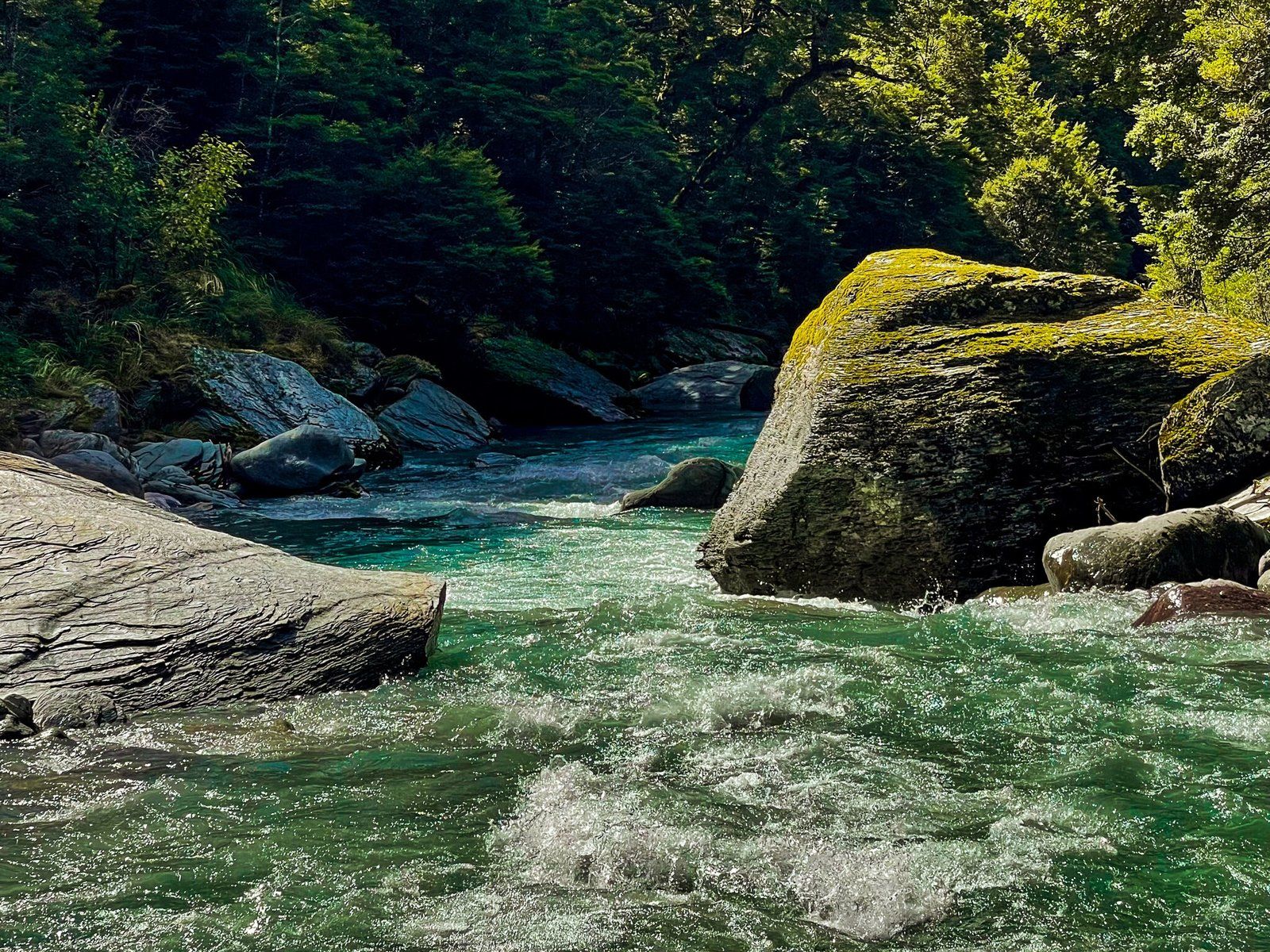
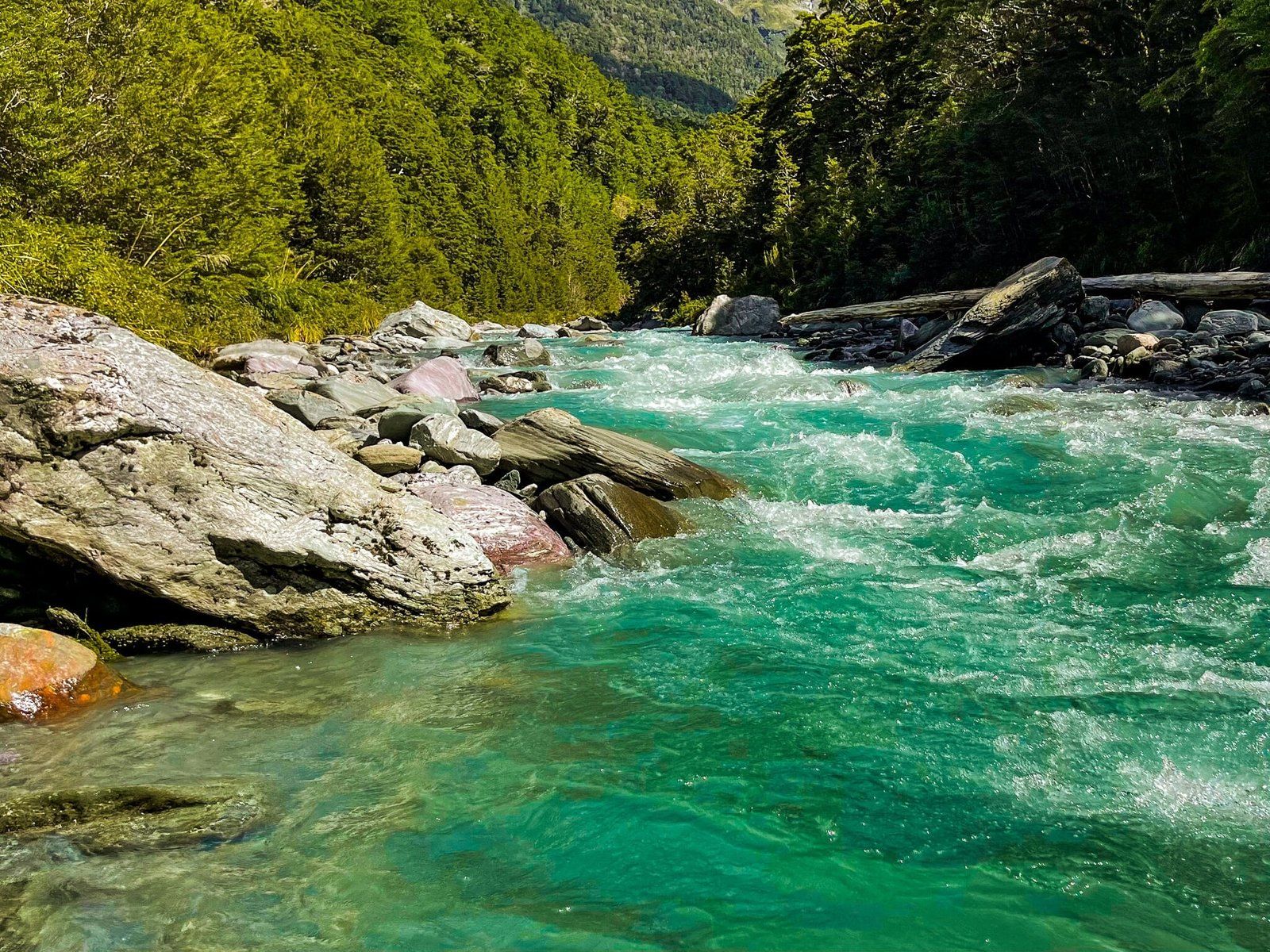
The Glacier Burn and East Matukituki tracks start with a crossing of the Matukituki River at the Cameron Flat car park. The water depth in the river is variable, ranging from about knee to waist deep, depending on where and when you choose to cross. In summer and autumn, the water is not too cold but do take care. Being a braided river, there are also several sections separated by gravel.
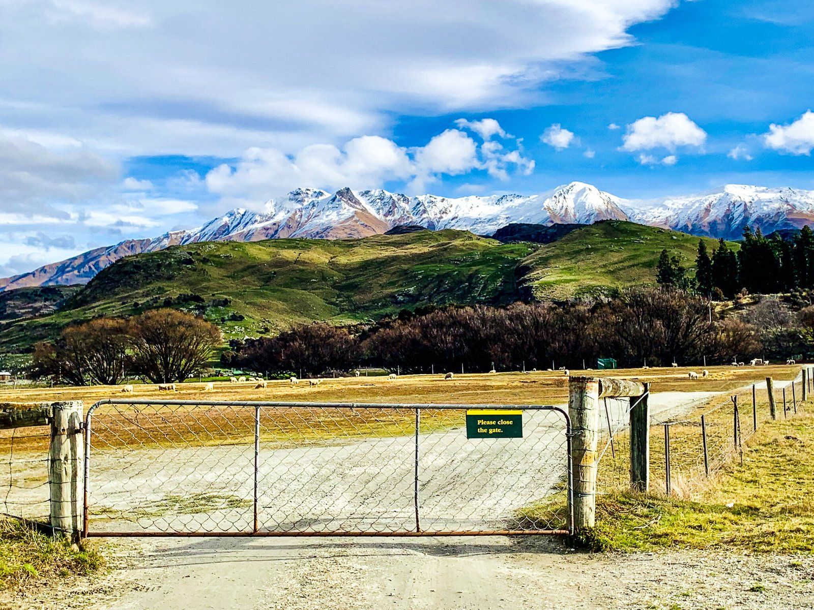
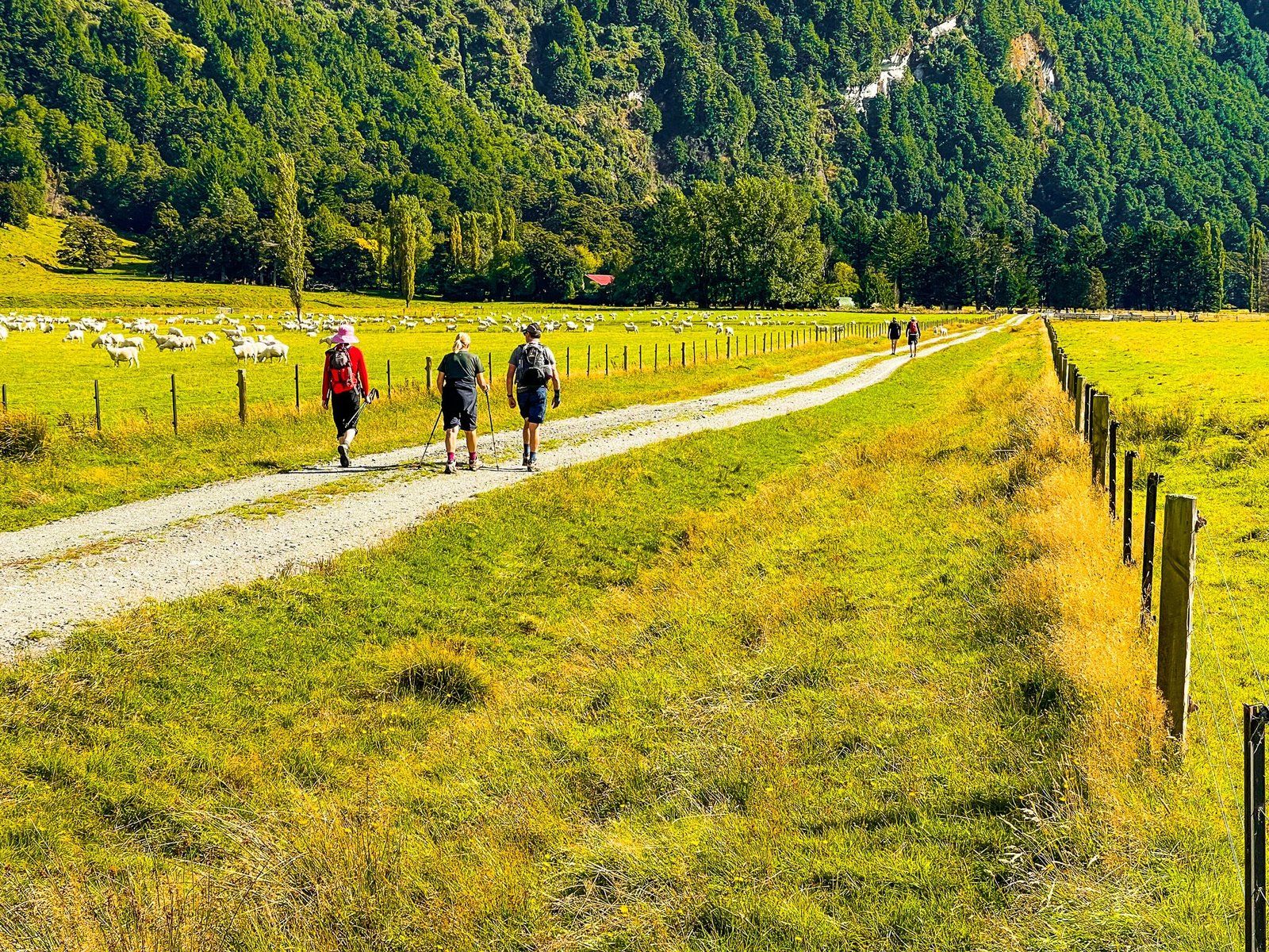
Once across the river, walk towards Cameron Flat Road and follow it up East Matukituki across the station (farm) until you reach the marked track. Follow the track until it reaches the edge of the beech tree forest next to Glacier Burn. It takes about an hour or so to get to this point.
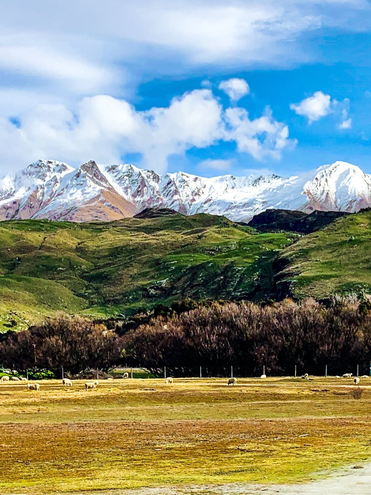
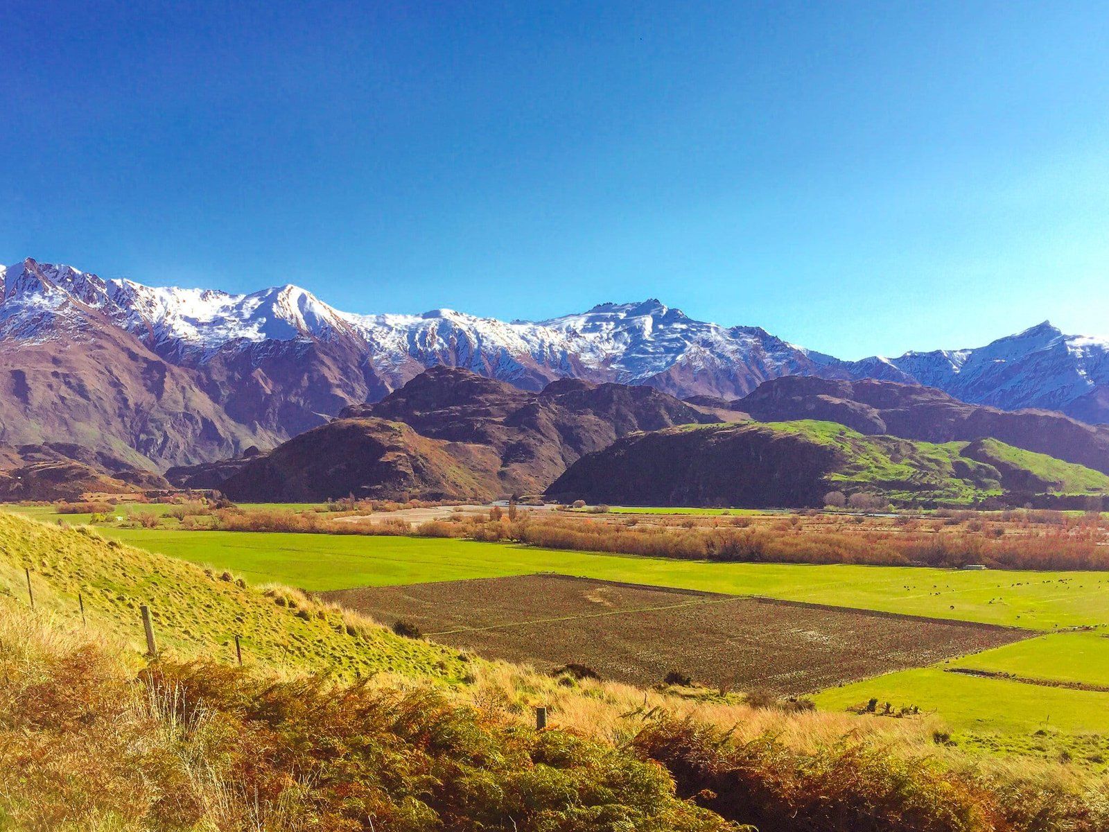
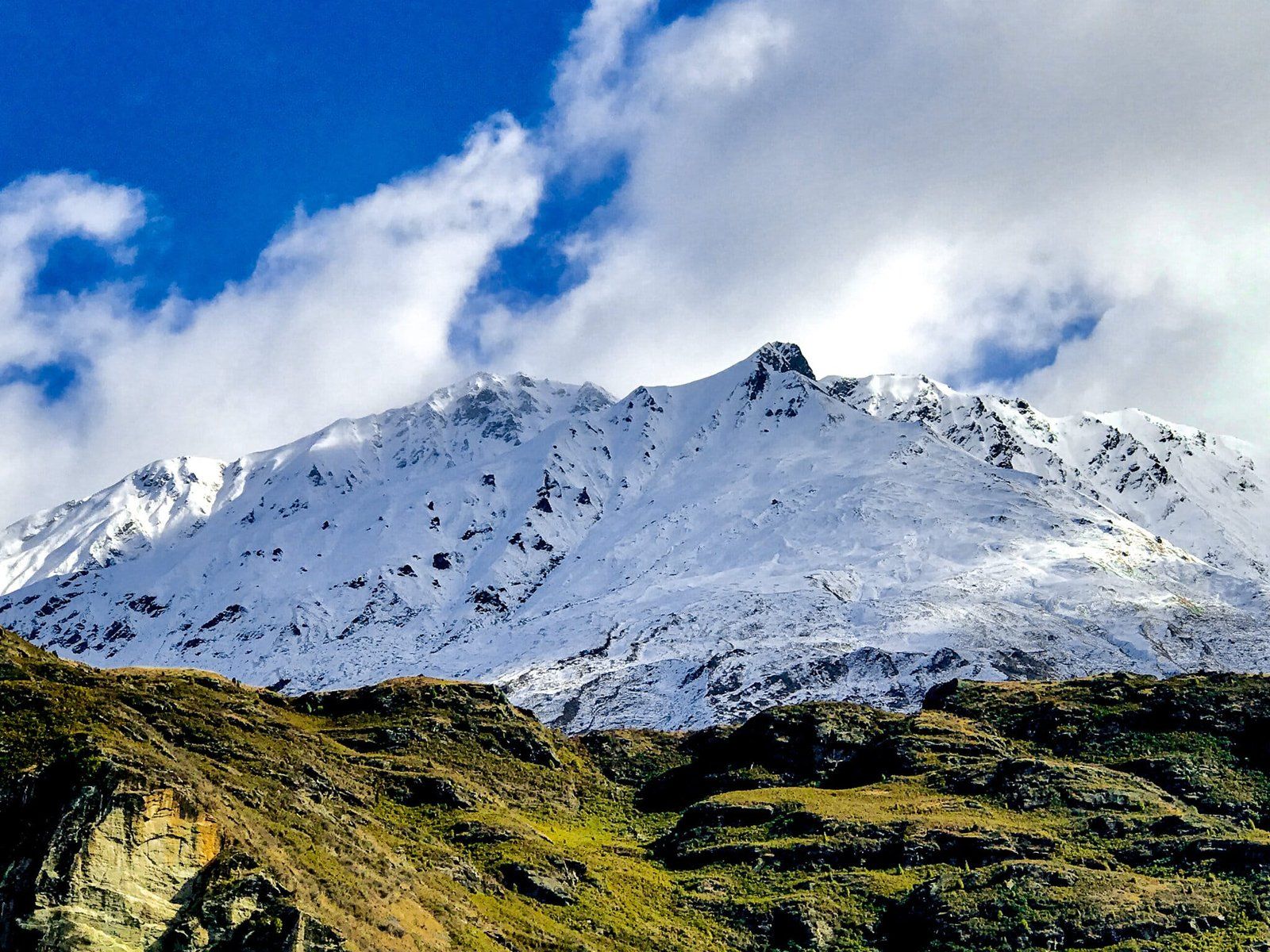
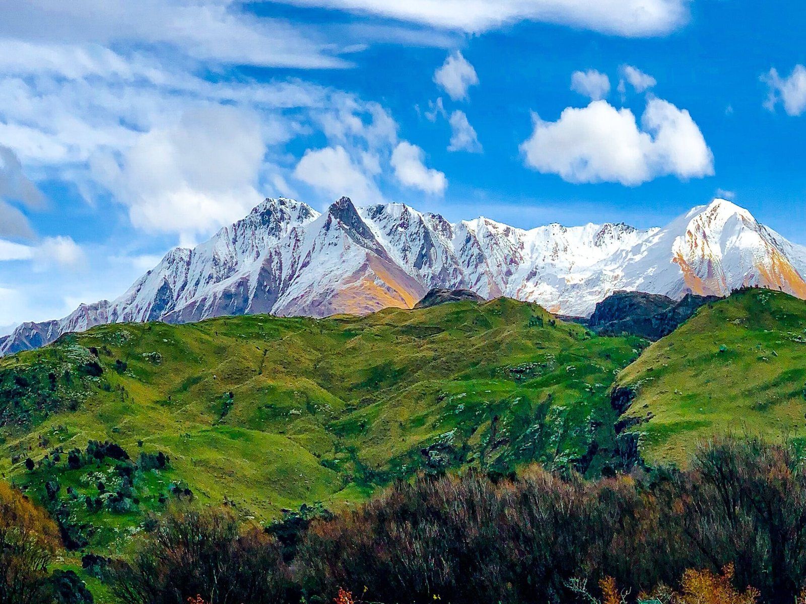
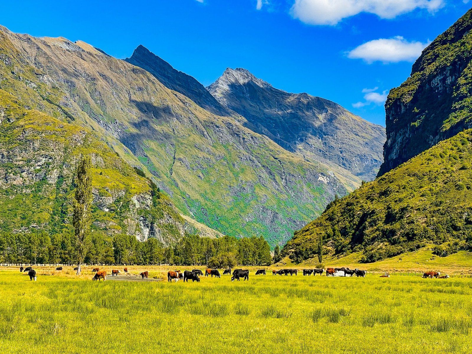
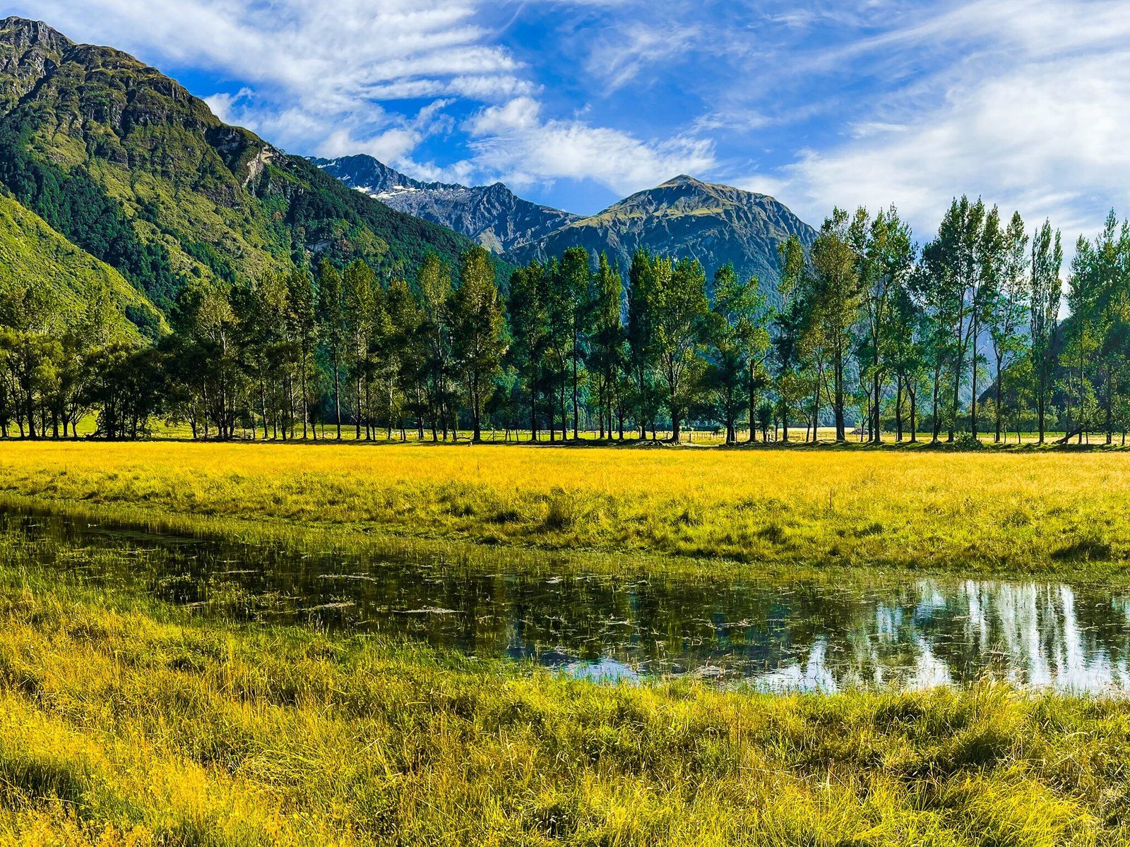
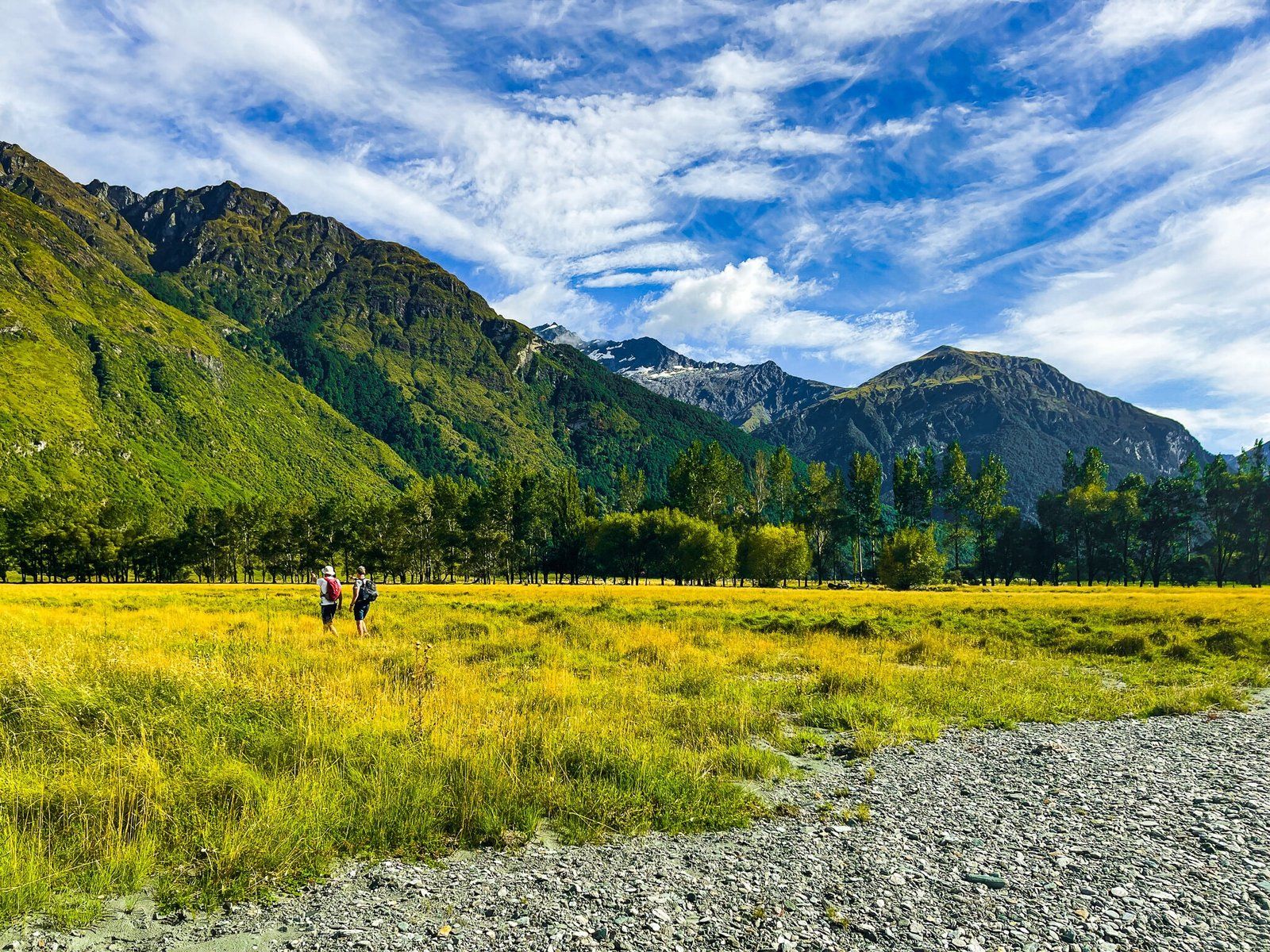
The best features of this section of the walk are the fun river crossing and the expansive views of the wide East Matukituki valley, surrounded on all sides by mountain ranges. The Mt Aspiring massif is on your left, but you can’t see the peak.
Glacier Burn Track – Forest
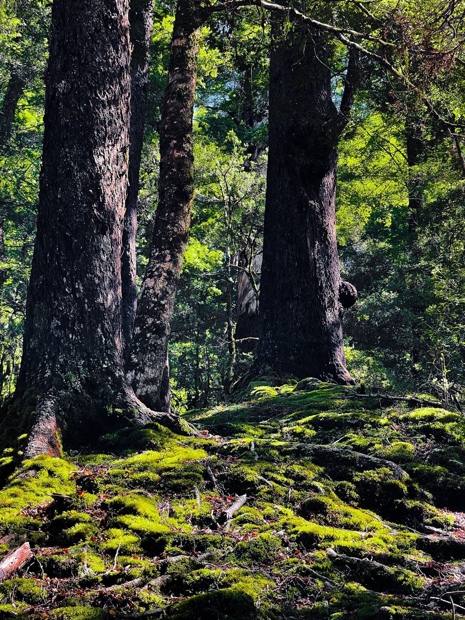
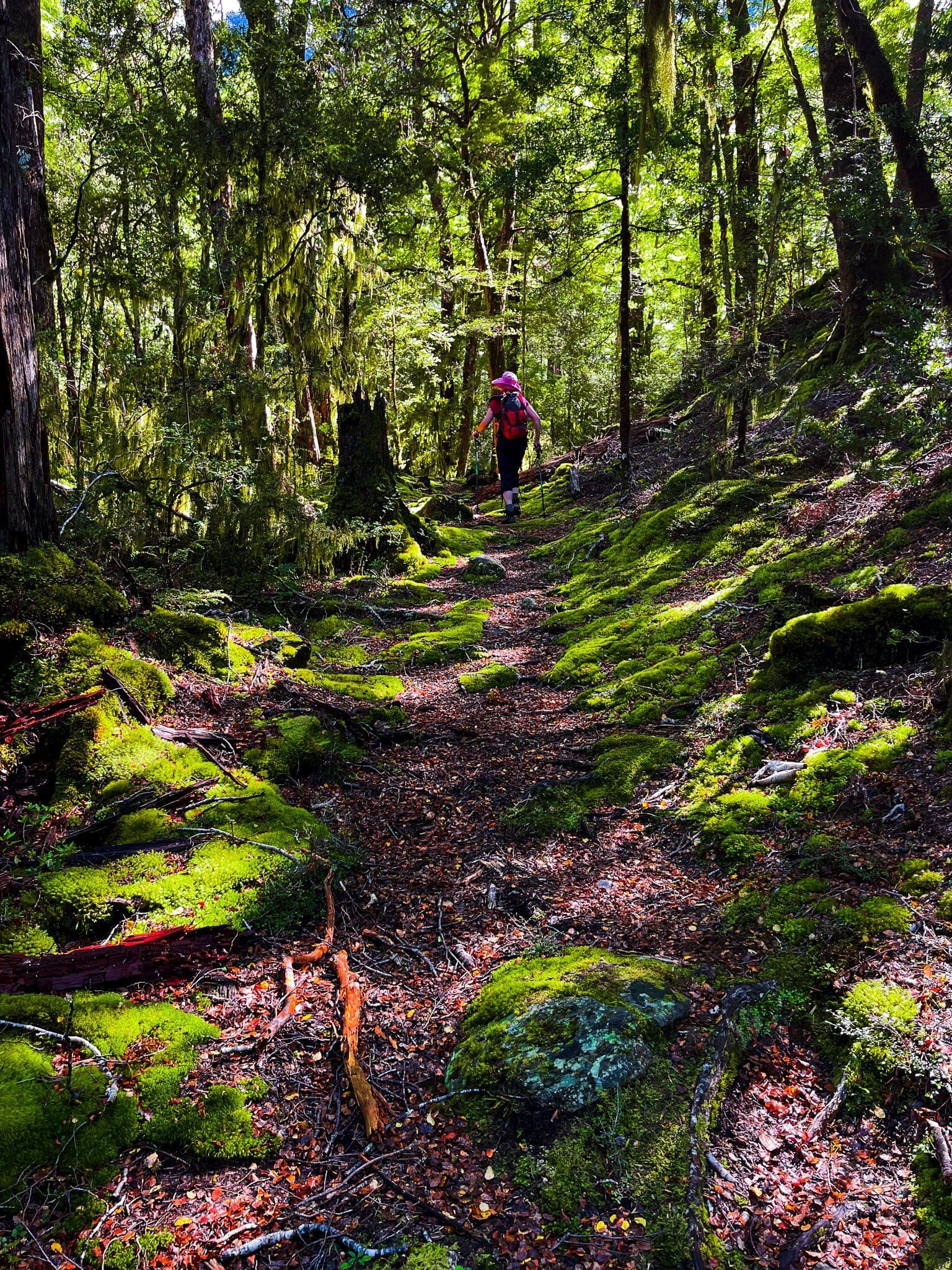
The second part of the Glacier Burn Track takes you into the beech forest at the base of the Mt Aspiring massif. The track climbs up 200 metres to a very pretty high point in the forest, then drops back down to Glacier Burn (rough in places).
As you drop down you will be able to spot Avalanche Glacier and the very high main waterfall that feeds the burn. The track terminates at the burn with a decent view of Low Peak (2,609 metres) and the glacier. Head back the same way.
Allow about 40 to 60 minutes for this section of the track.
Want more Trip Ideas?
Check out our blogs on a perfect week in Wanaka – Part 1 and Part 2 and Wanaka in Winter.
