
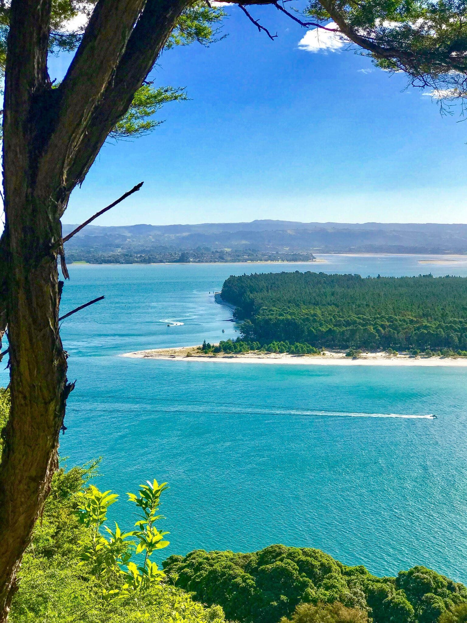
Bay of Plenty is a large bay on the northeast coast of the North Island, extending from Waihi Beach to the west to Cape Runaway to the east. Its name was in contrast to Poverty Bay, further south on the East Coast, reflecting the contrasting experience of the crew of the Endeavour in securing fresh supplies. The dominant urban population is around Tauranga, taking in Mt Maunganui and Papamoa.
The city has expanded rapidly over the last 20 years and has traffic to prove it. But it also has significant outdoor features, plus plenty of accommodation and food options. Driving in from the north is quite picturesque, either through the Karangahake Gorge at the north end of the Kaimai Range or over the Kaimai from Matamata. From the south, there are two routes via Rotorua.
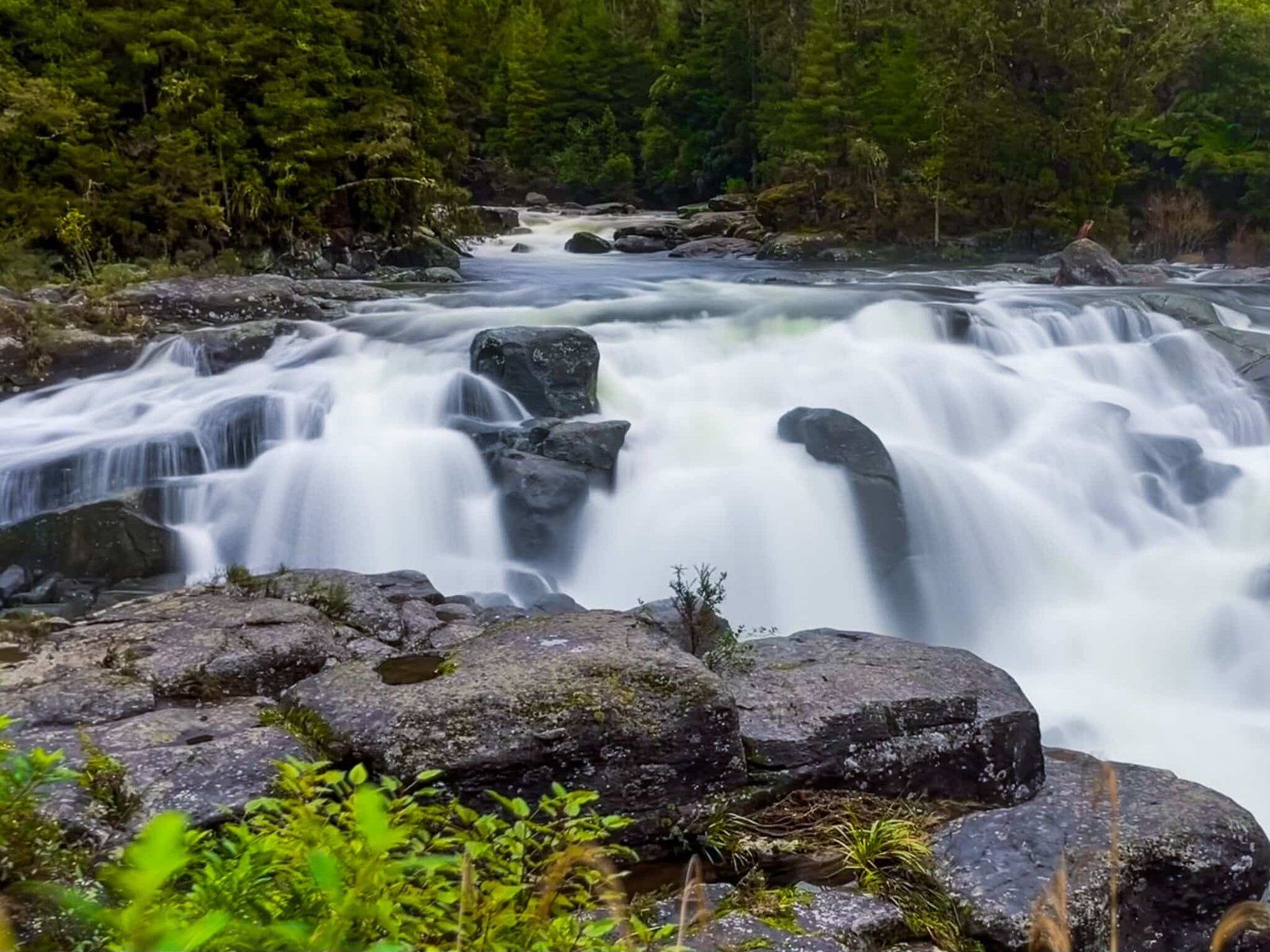
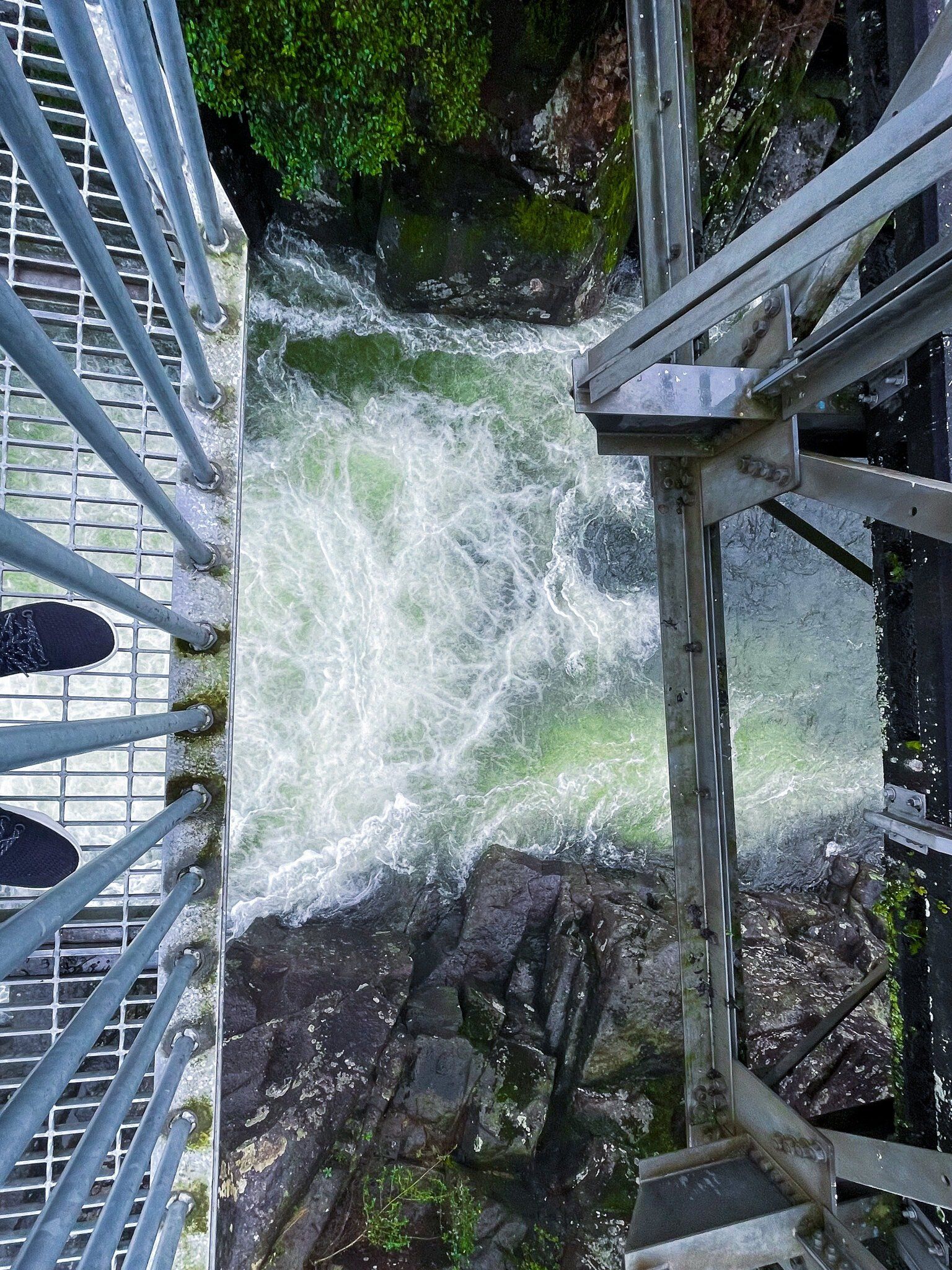
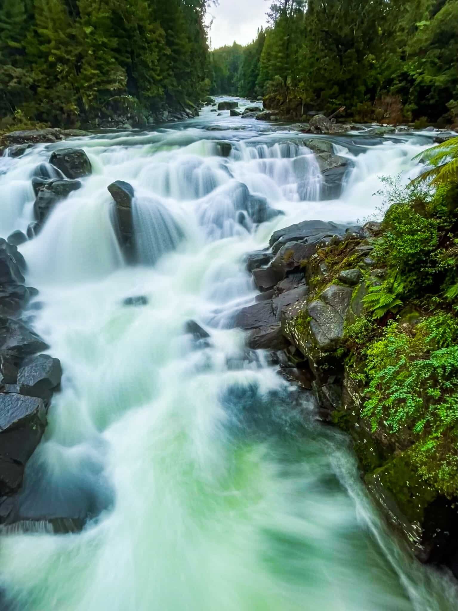
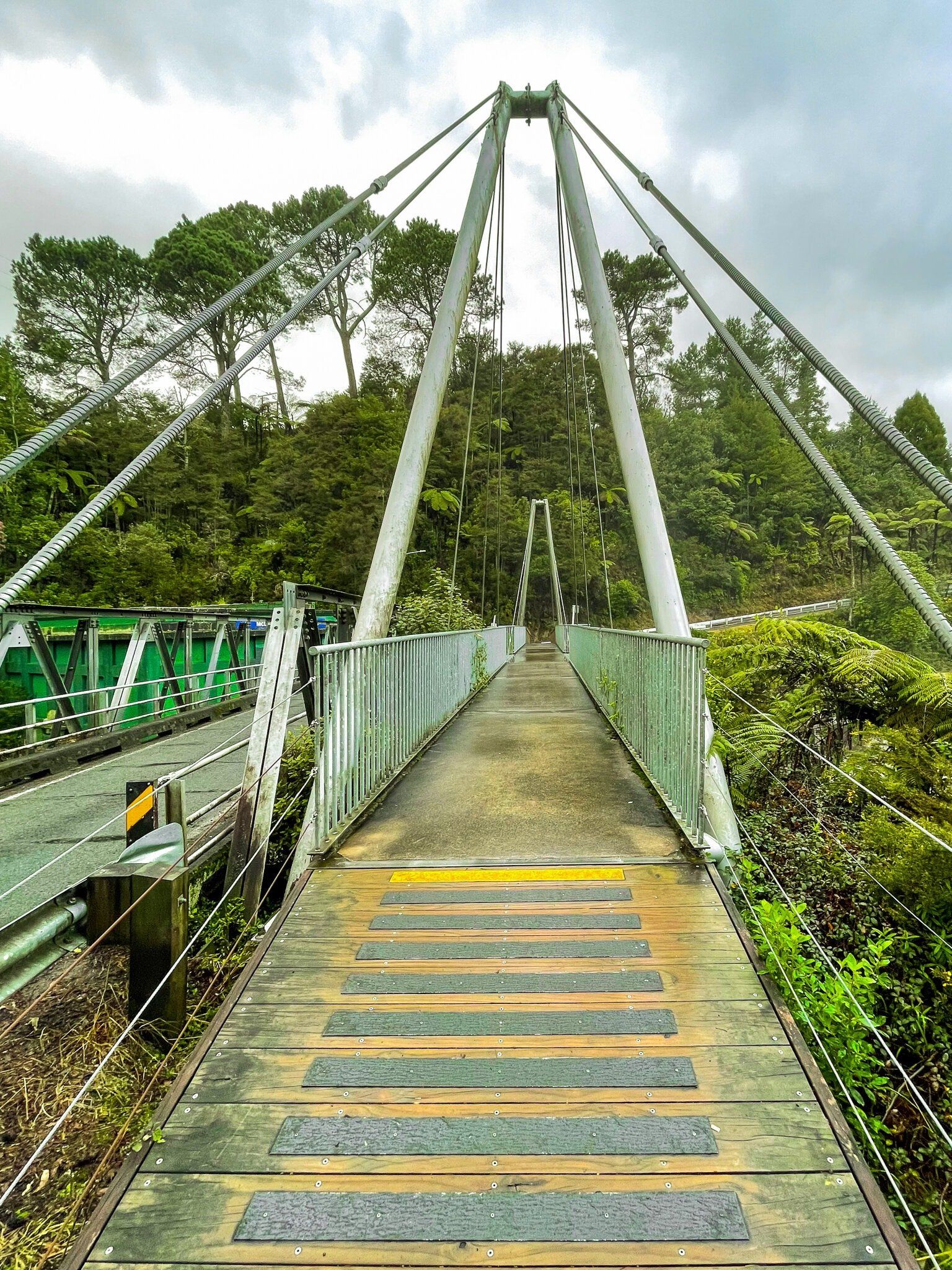
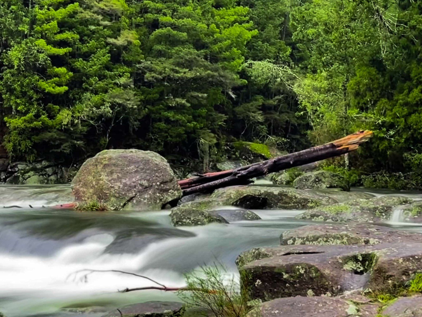
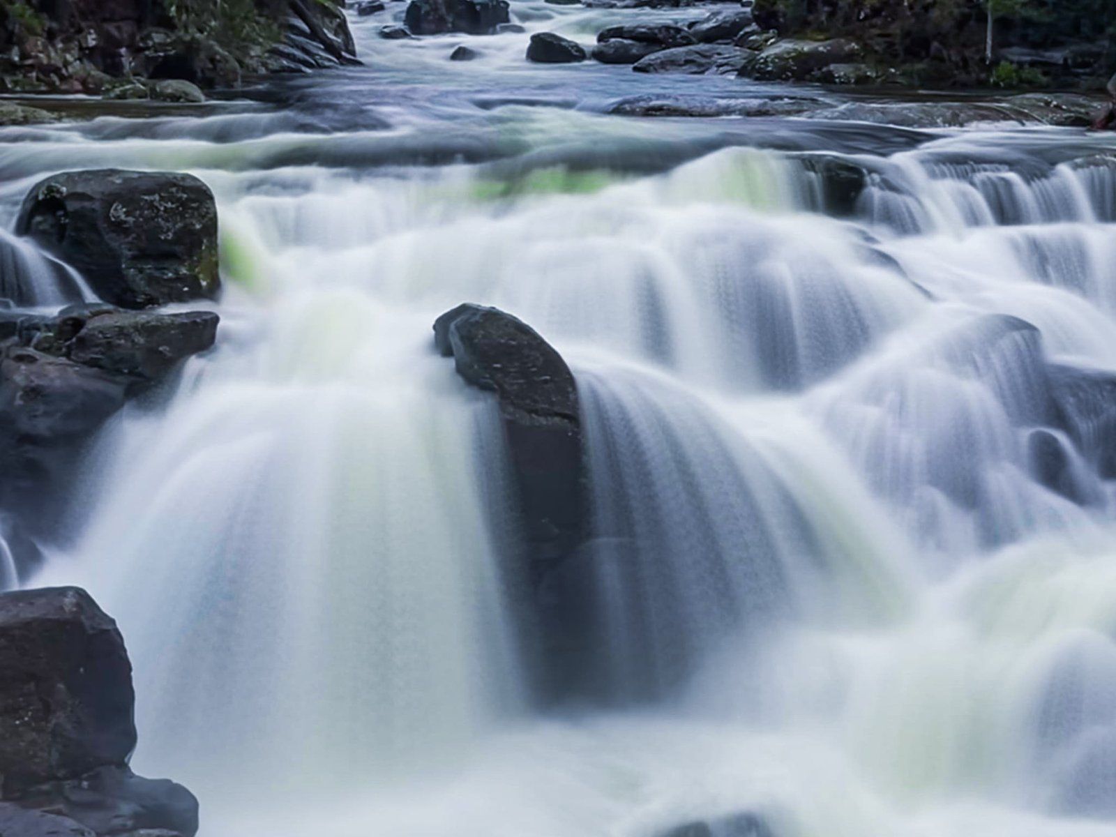
On this trip, we drove over the Kaimai on State Highway 29. About 20 minutes out of Tauranga, we took a short signposted deviation to McLaren Falls. This is a beautiful waterfall, despite a weird history involving a number of deaths! On the day it was running much harder than normal due to recent heavy rain. From the lookout bridge, continue on the road to McLaren Park for about 300 metres. This is another pretty spot with a cafe, several walking tracks and plenty of room to spread out around Lake Mclaren.
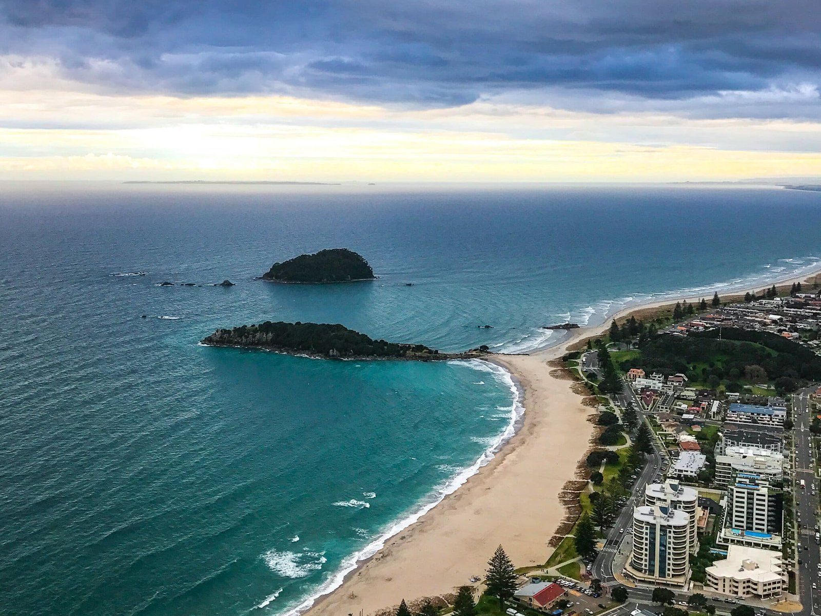
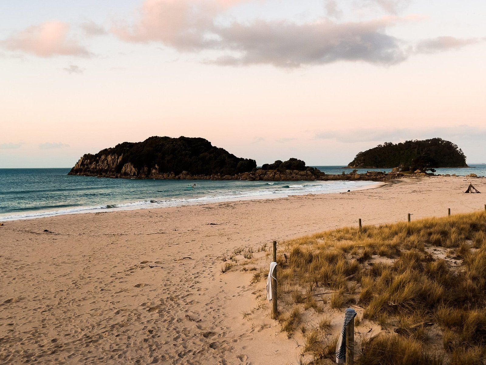
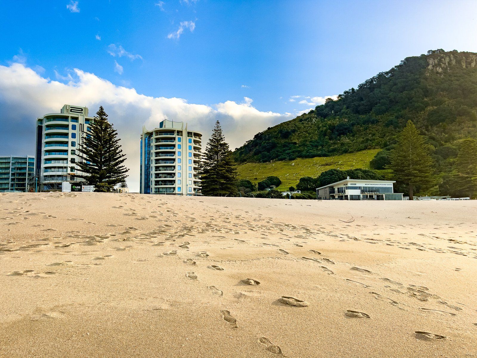
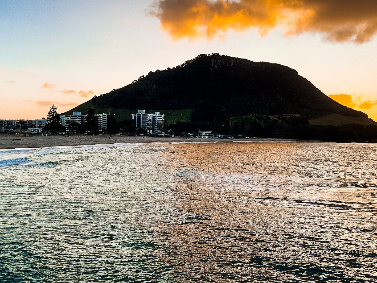
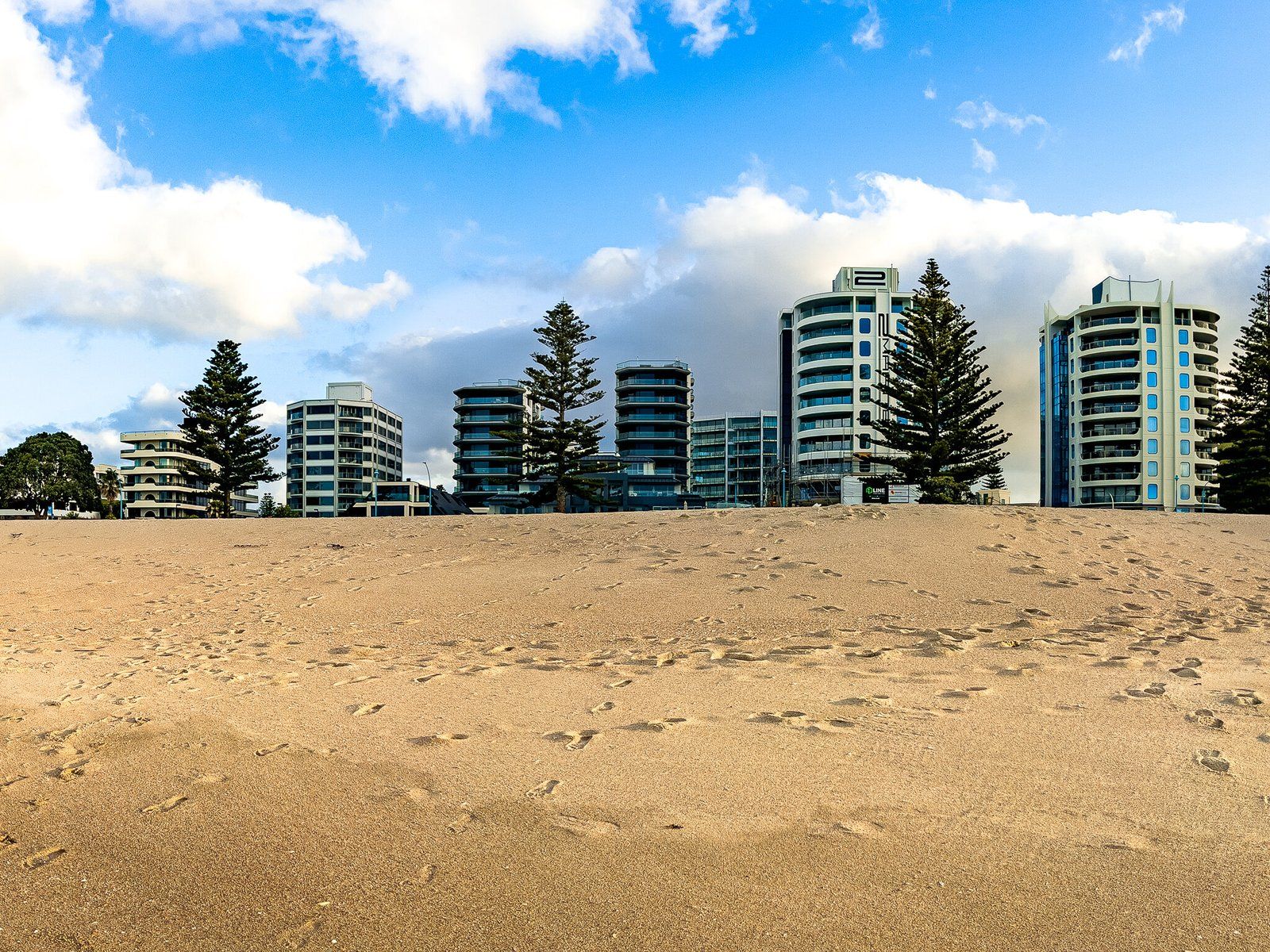
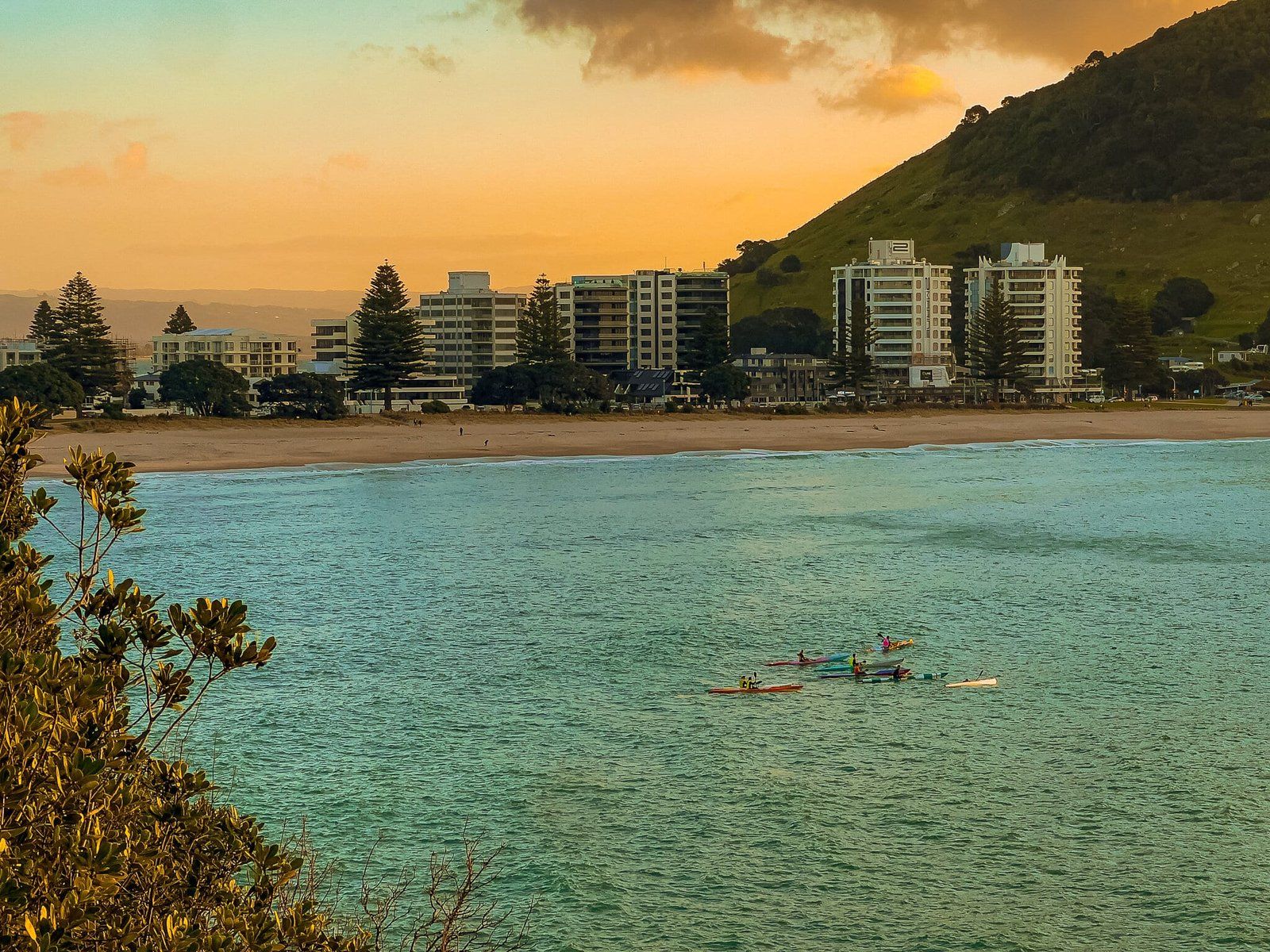
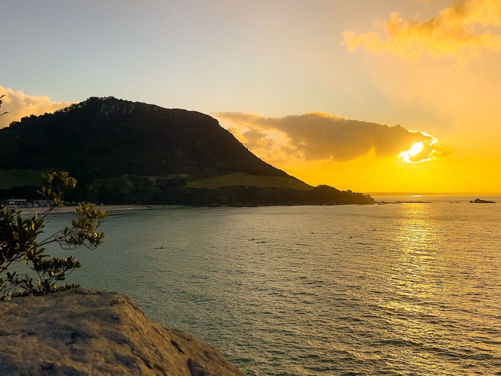
From there we headed through Tauranga to Mt Maunganui (or simply “the Mount”). The dominant feature is the 231 metre high Mount itself, on the east side of the Tauranga Harbour entrance. Walk to the top for the exercise and views, then relax on Maunganui Beach immediately to the east. Unusually for NZ, this white sand beach is backed by multistory apartment buildings, so it does get busy. At the east end of this beach is Moturiki (also known as Leisure Island). You can walk out to its rocky tip and watch the sun drop behind the Mount at sunset, then head to one of the local eateries to end the day.
McLaren Falls
McLaren Falls is a short deviation from State Highway 29, about 20 minutes west of Tauranga. Parking is on your left as you drive in, from here you can walk onto the pedestrian bridge in front of the falls for the best view. McLaren Falls Park is a further 300 metres along the road.
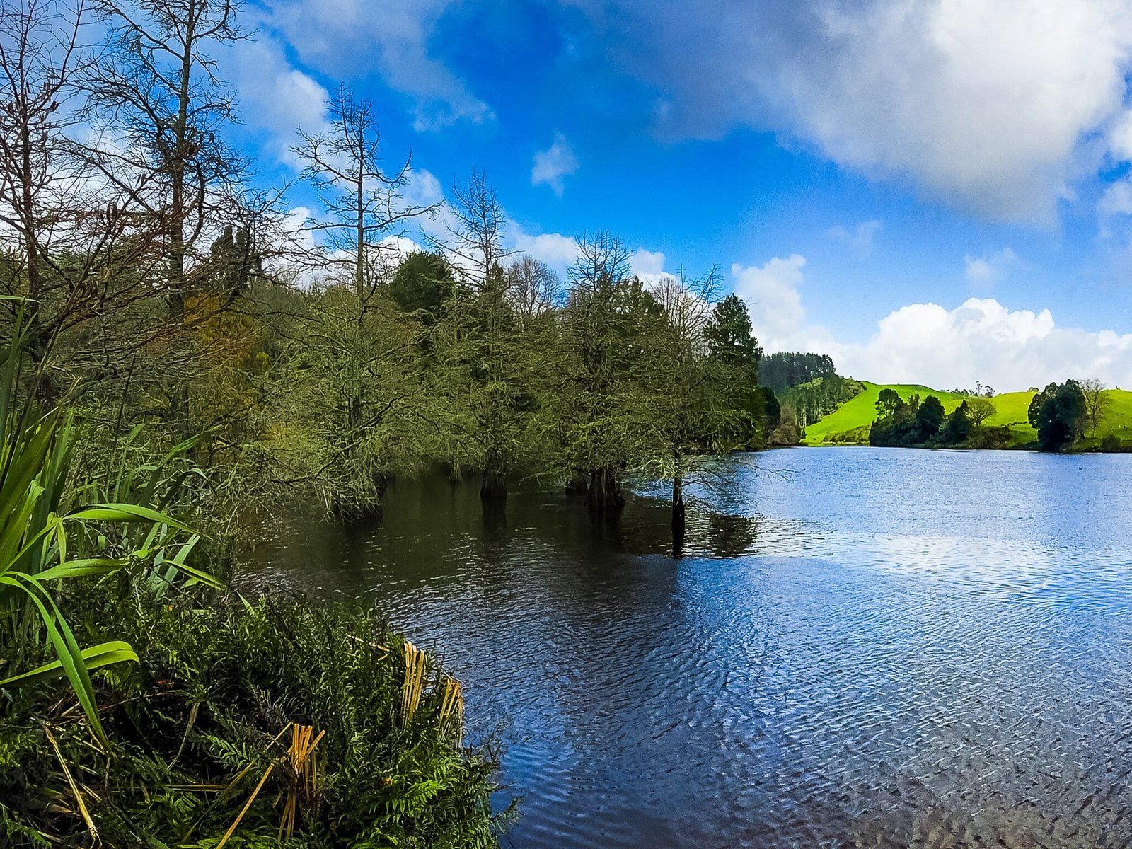
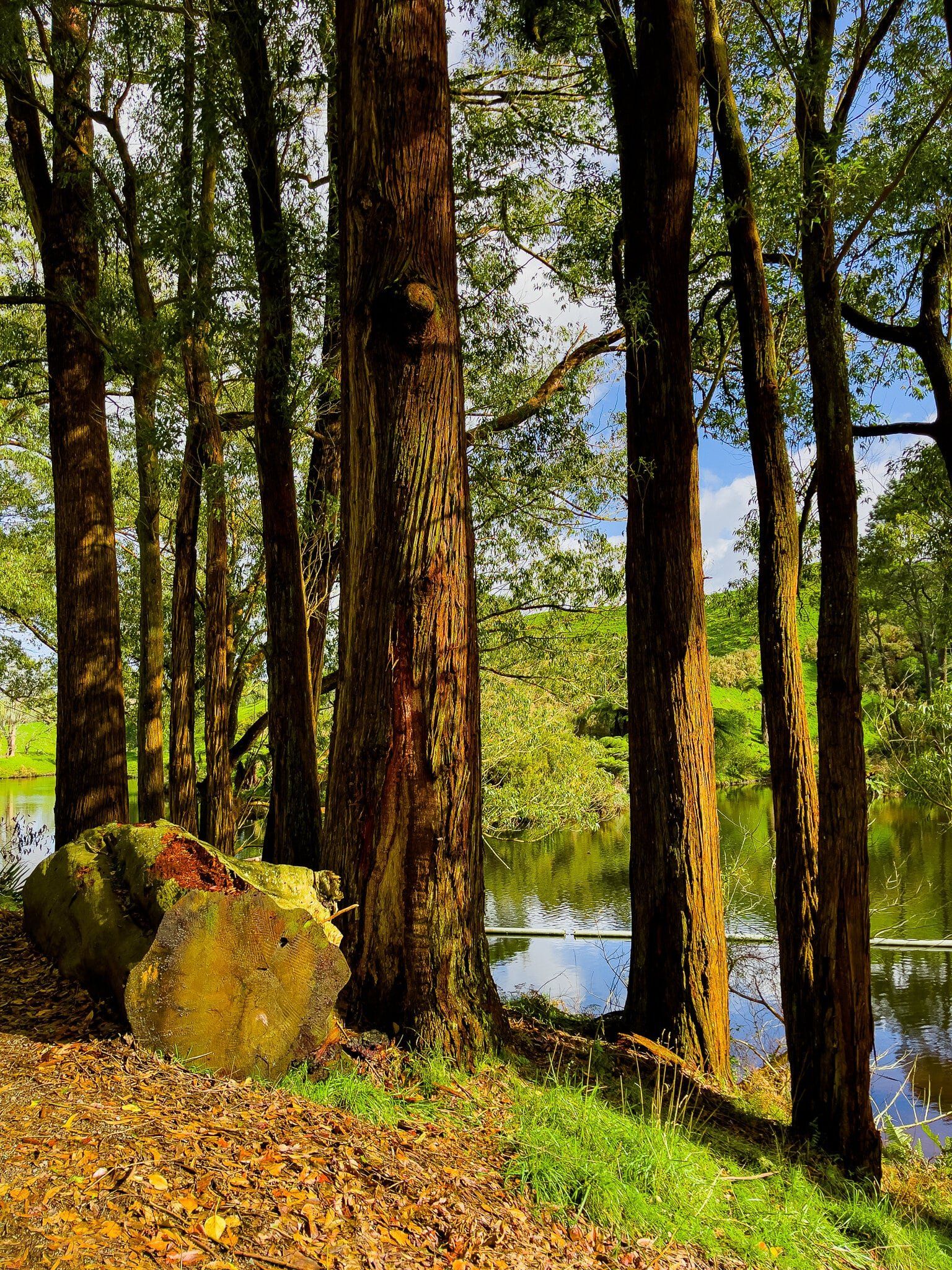
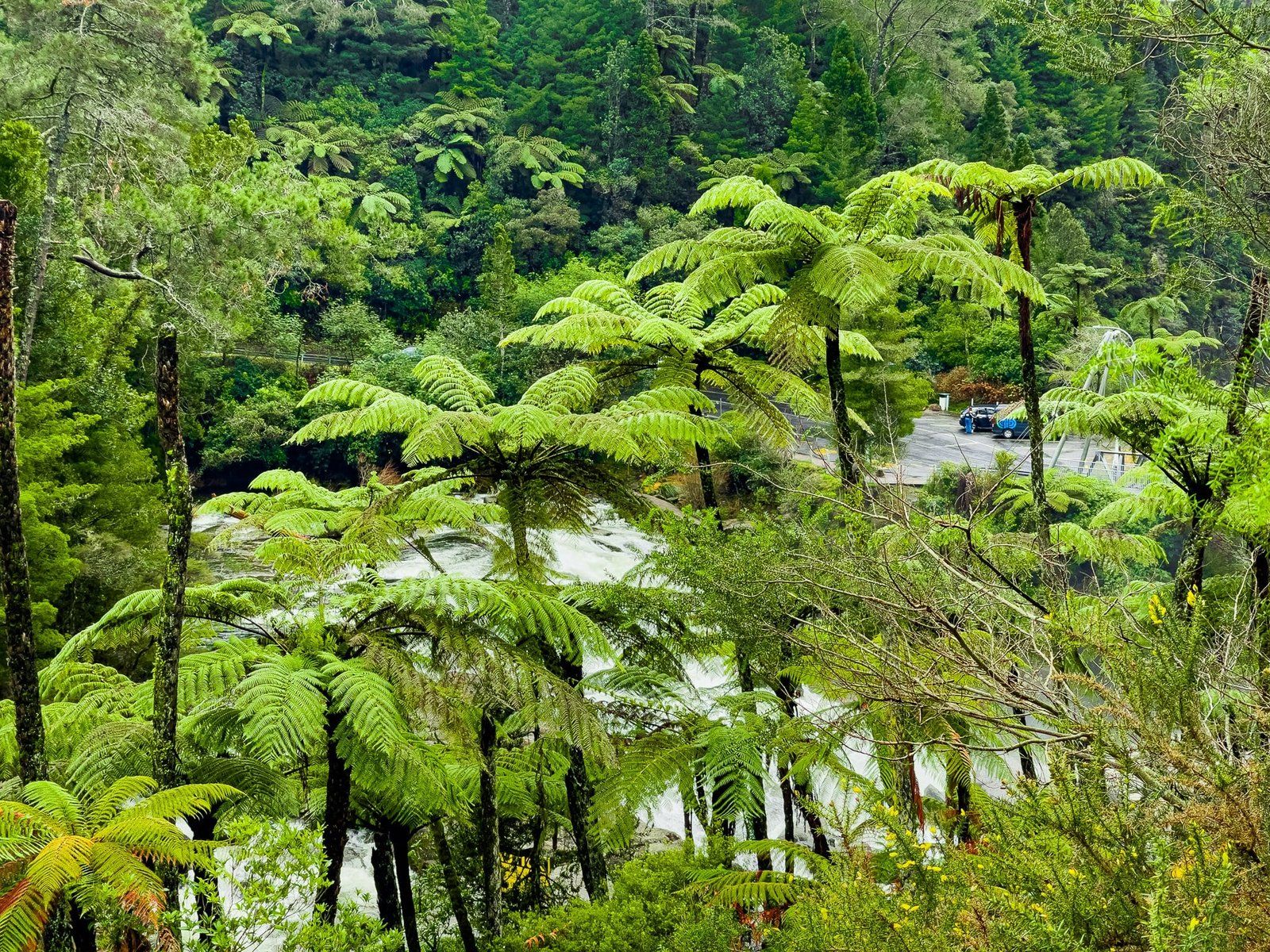
The water flows over a sprawling rock platform below the intersection of the Mangakarengorengo River and the outlet from Lake McLaren into the head of the Wairoa River. The waterfall has long been affected by the development of hydro power around the region and generally has a relatively gentle flow. To the right of the bridge, there is a decommissioned power station that goes back to the 1920s.
The low water flow does make it easy to safely access and hang out on the rock platform most of the time. But on the day we visited, it was much more dynamic, following days of heavy rain, so accessing the rock platform was the last thing on our minds. Visiting during heightened flows is much more spectacular if you’re not planning on getting in.
McLaren Falls also has a reputation as being associated with death. The given name commemorates a soldier killed in WW1 and there have since been several murders and drownings associated with the place. This history does not seem to stop anyone from ignoring the danger signs and jumping from the bridge!


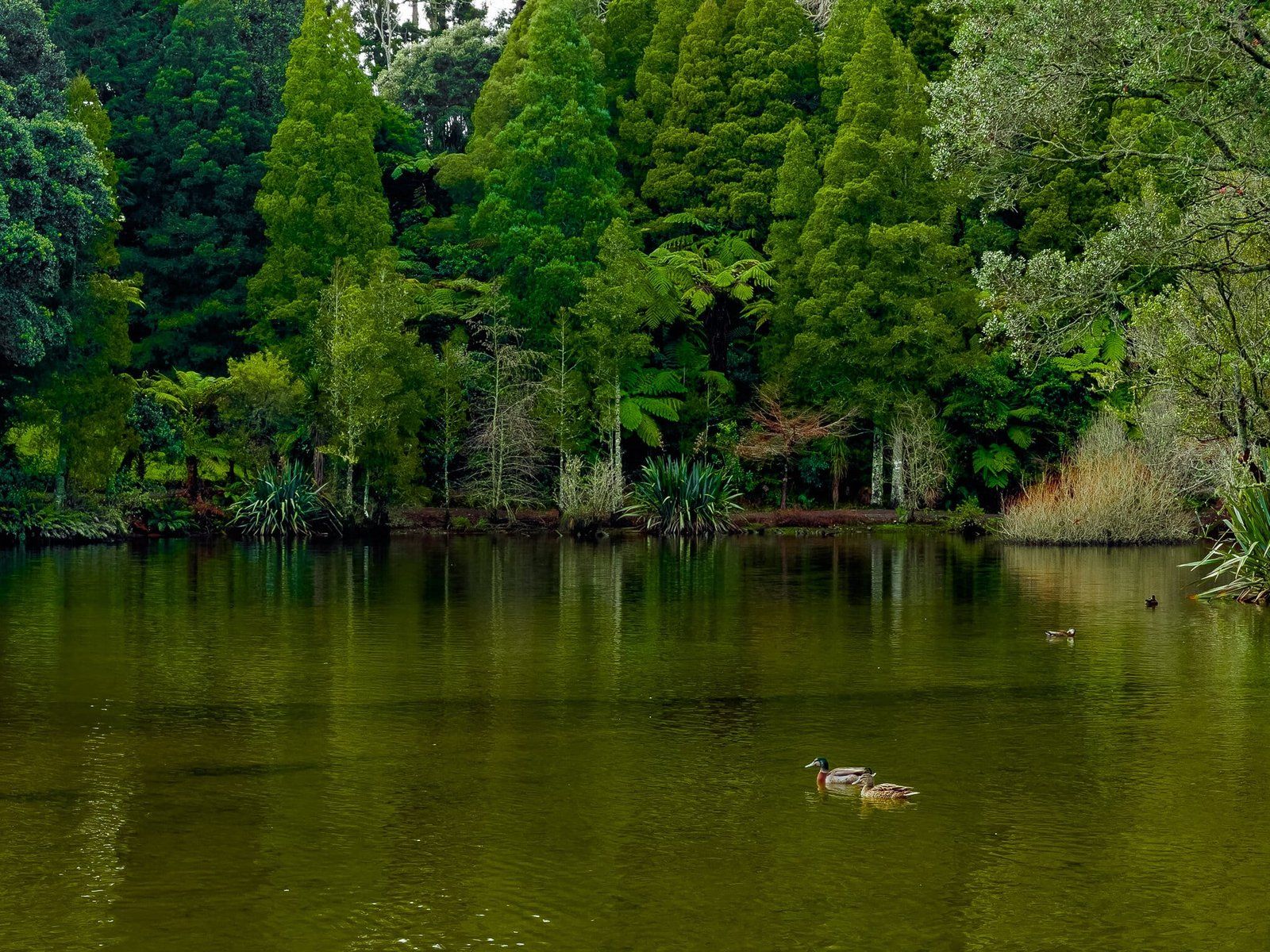
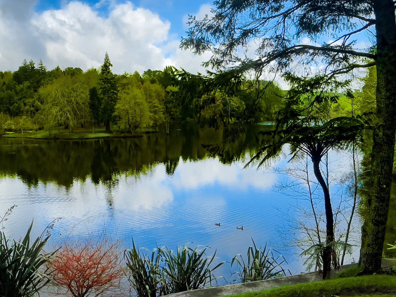
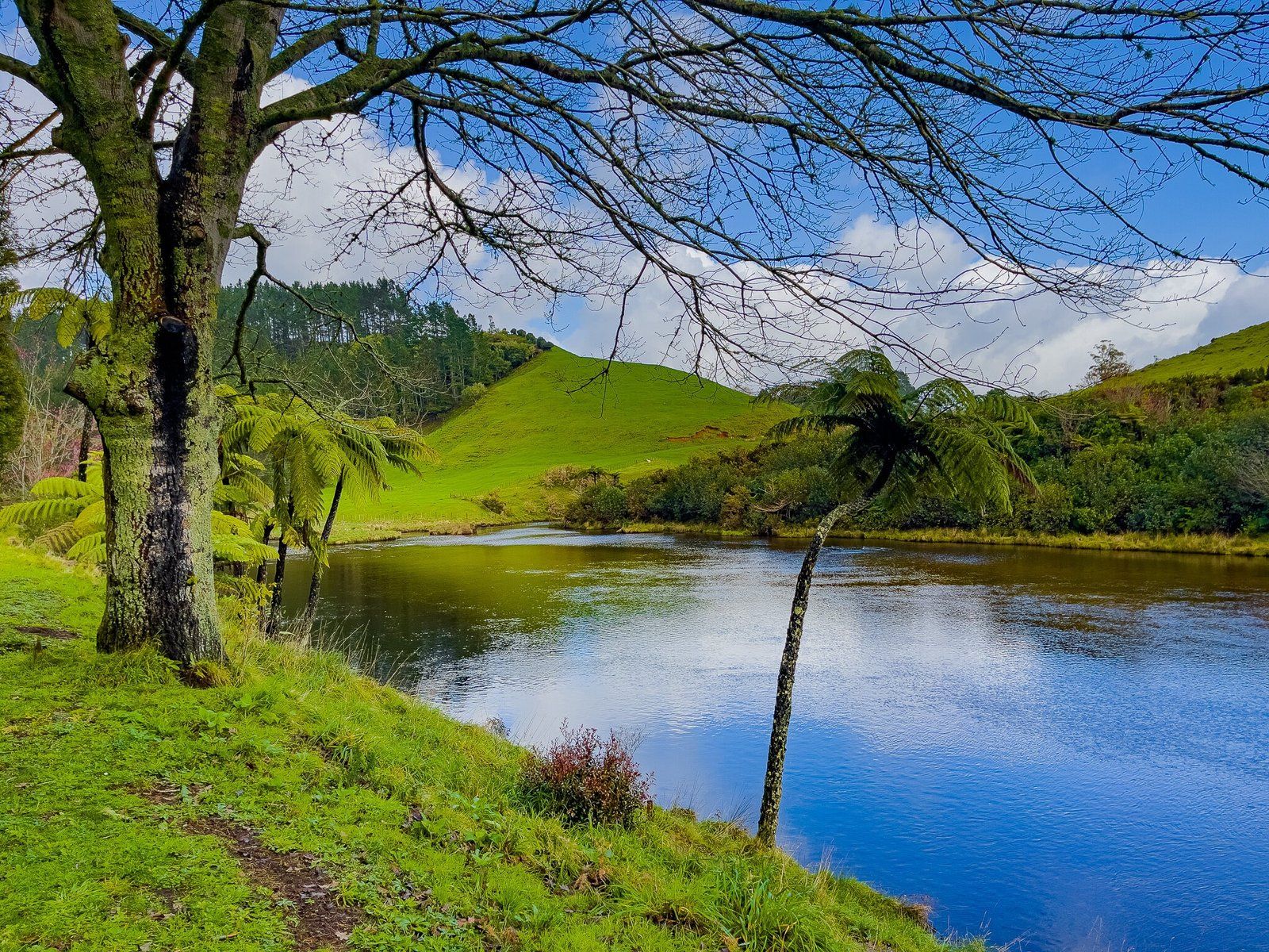
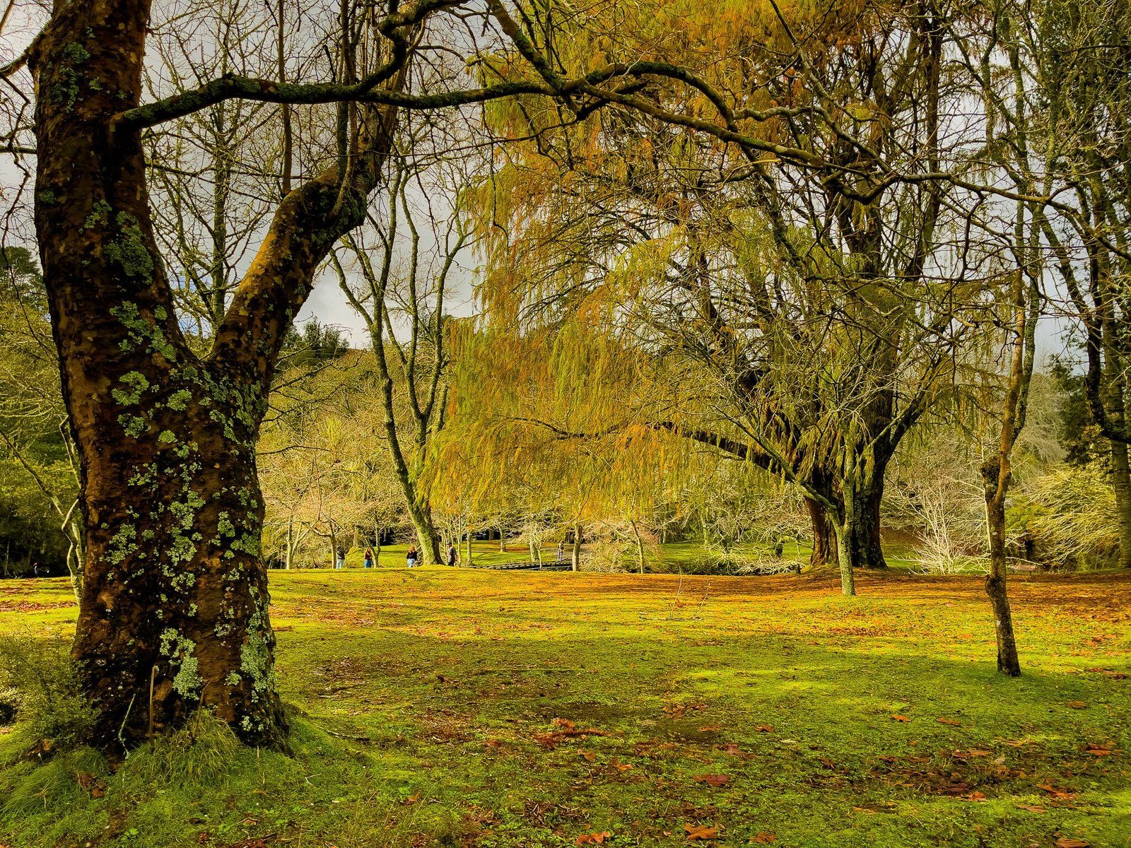
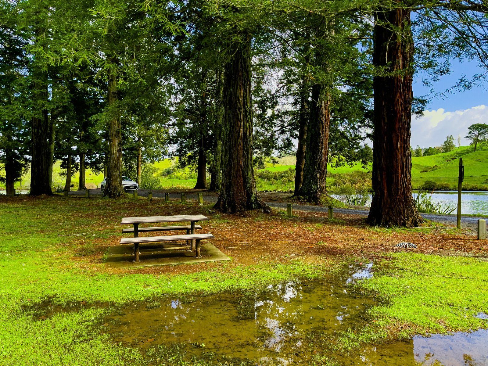
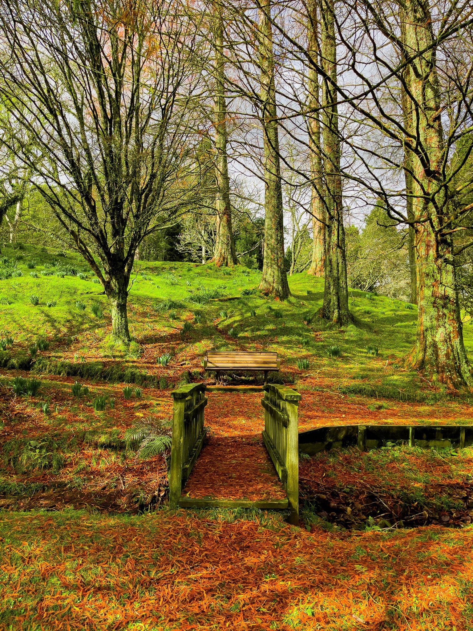
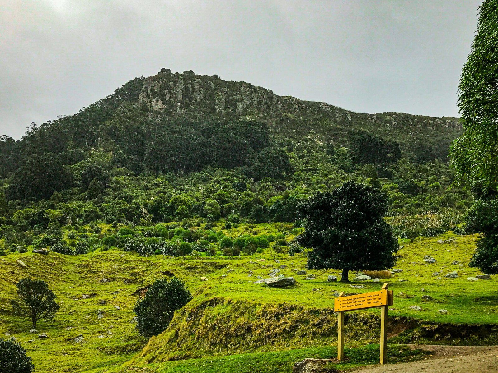
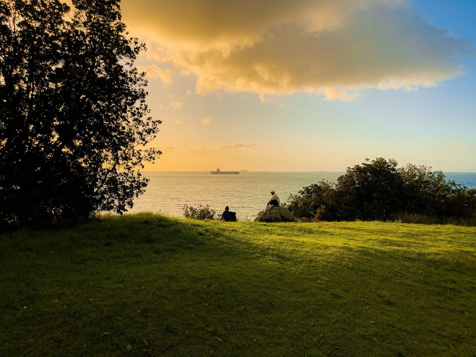
McLaren Falls Park Lake
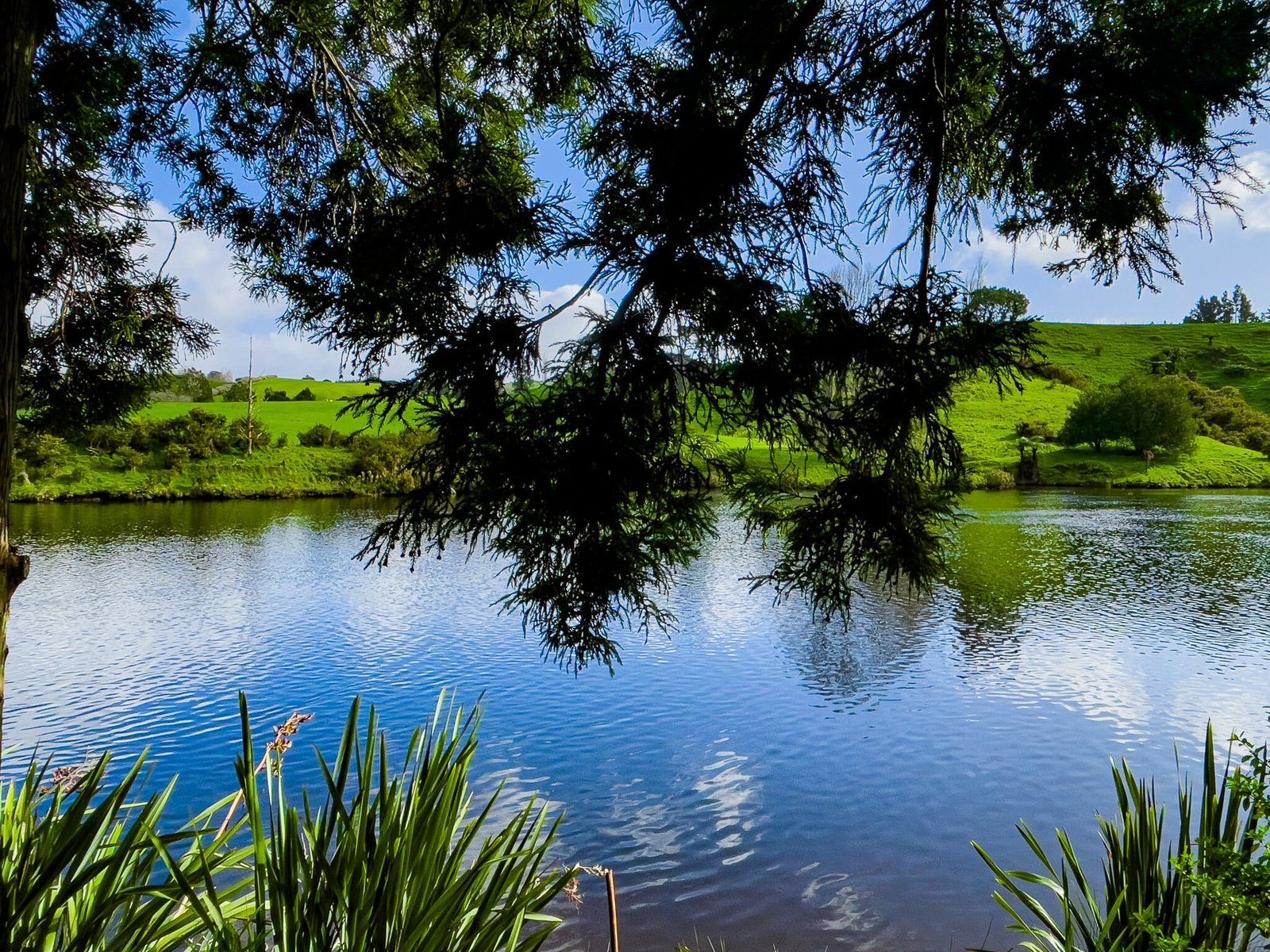
You can easily walk up the road above the falls or drive into McLaren Falls Park. There is a good cafe just after the entrance if you need a personal top up, but the park itself is one of the best of its kind in NZ and the time is better spent exploring.
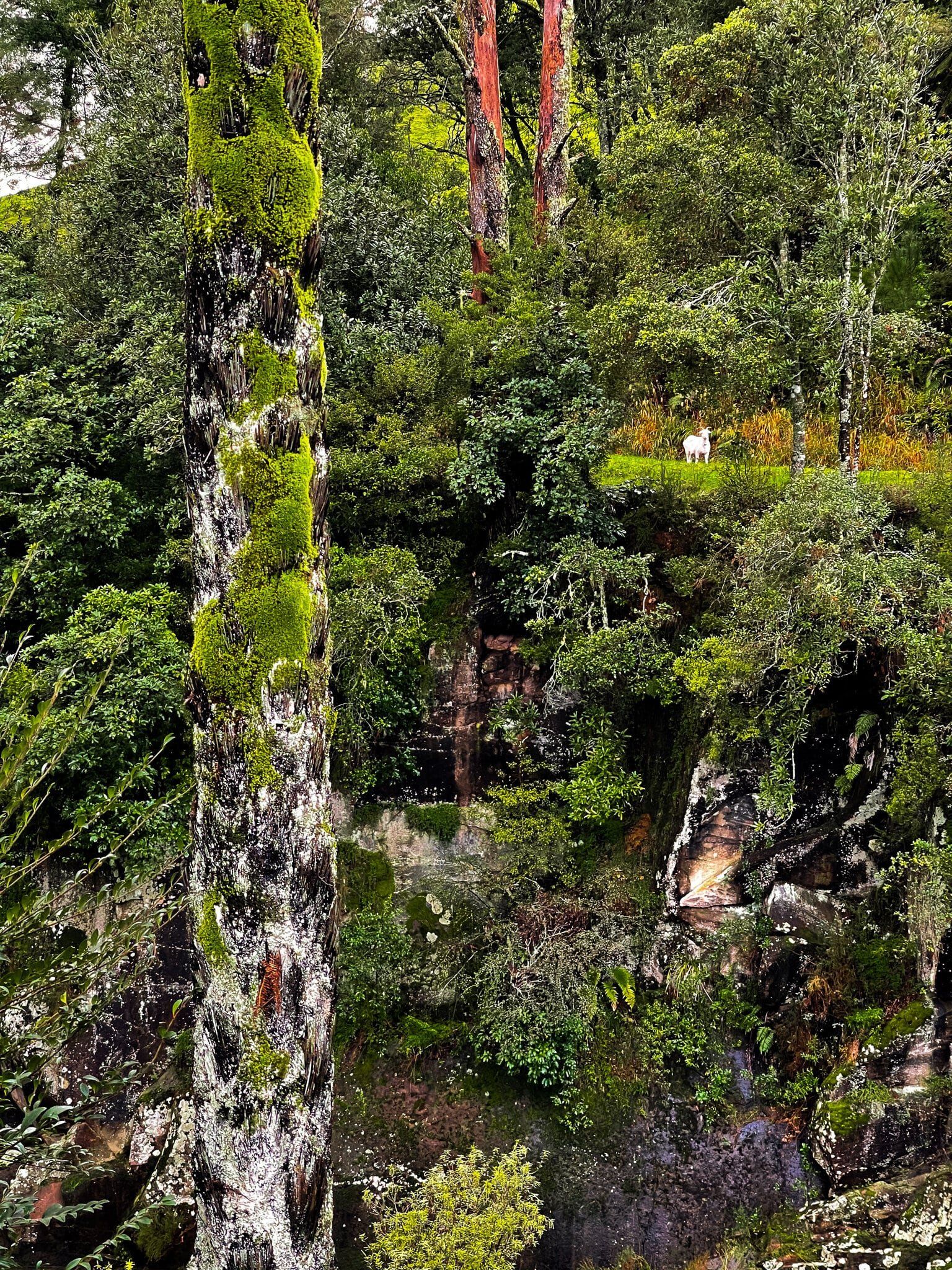
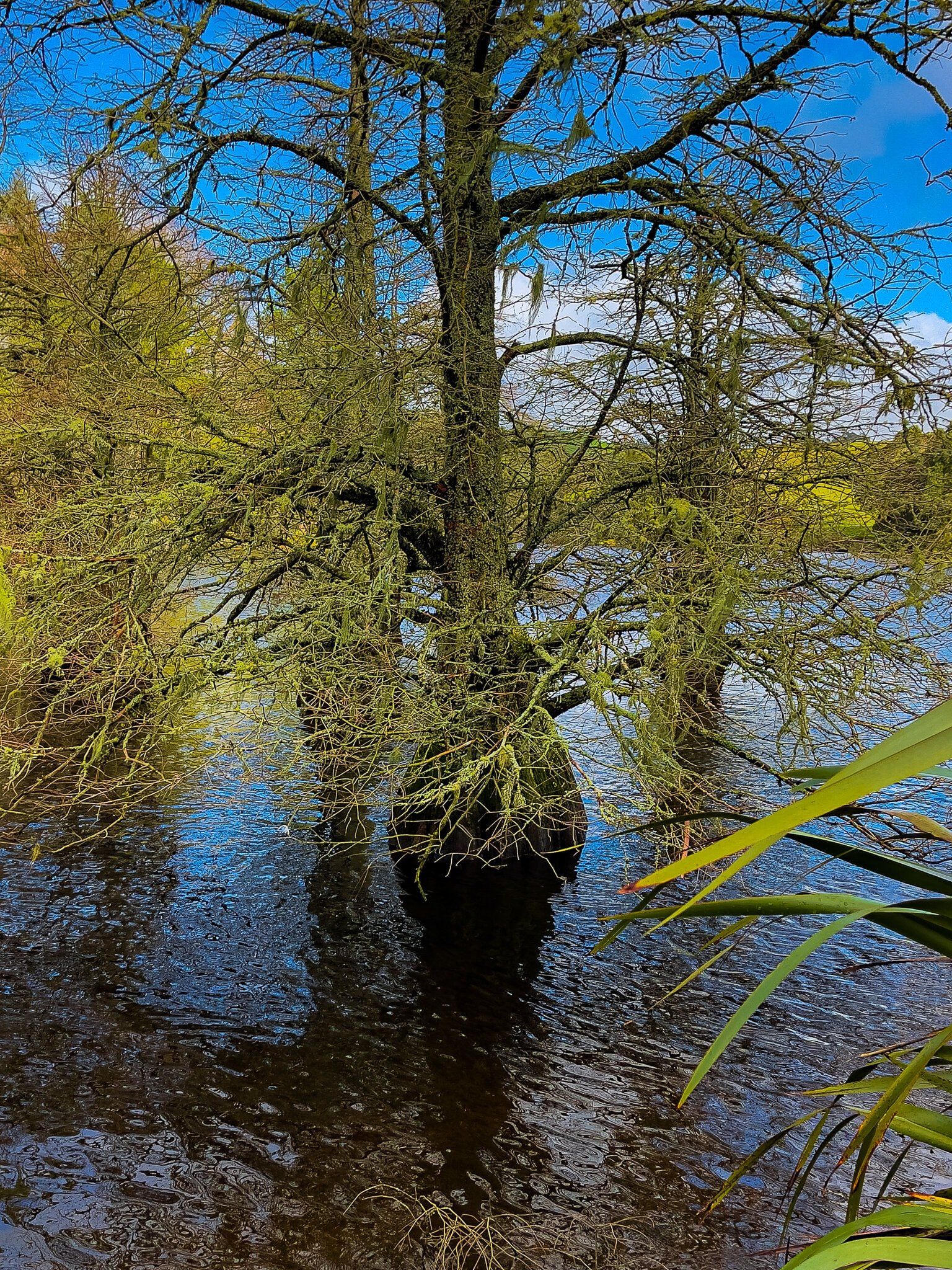
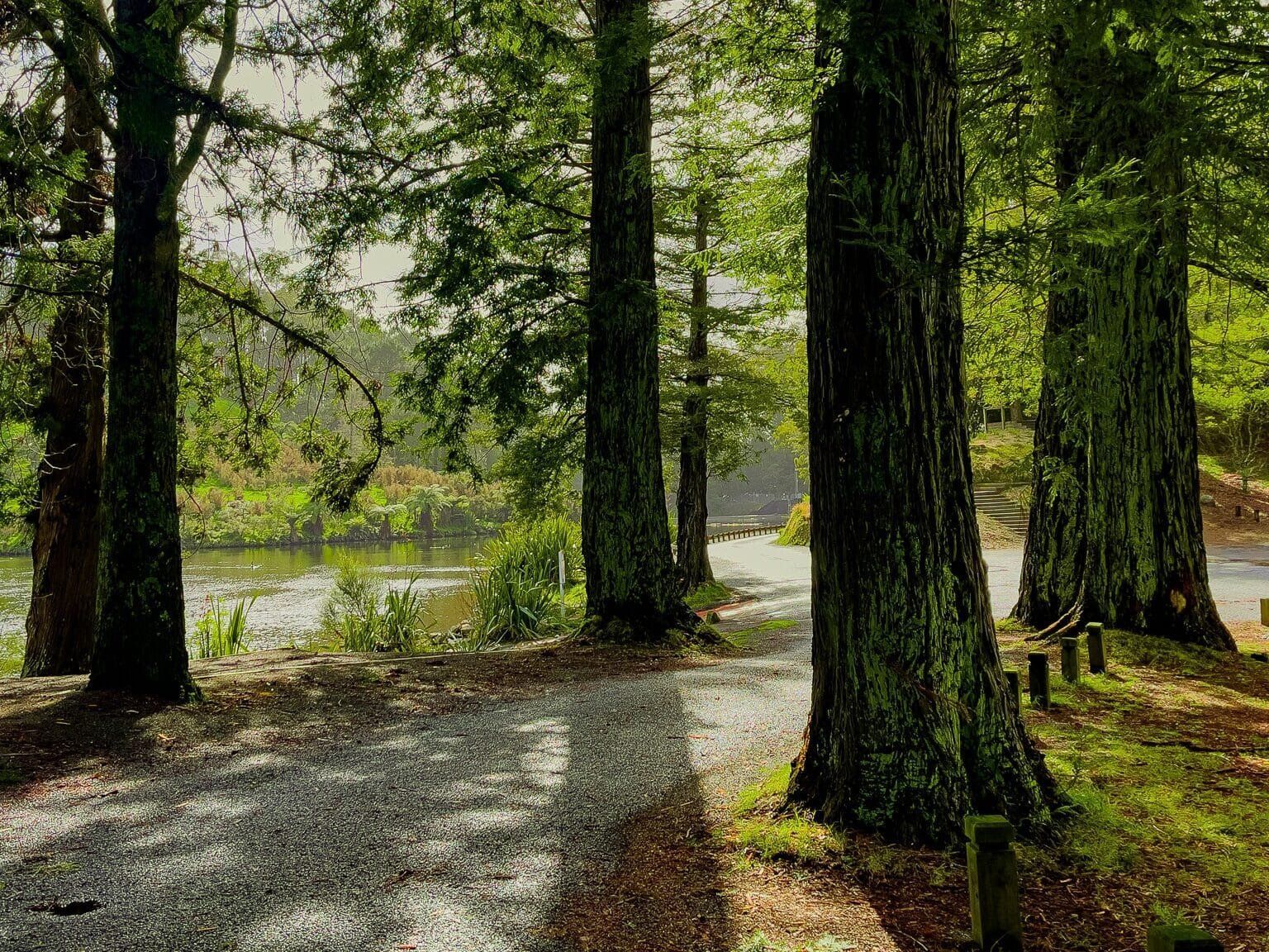
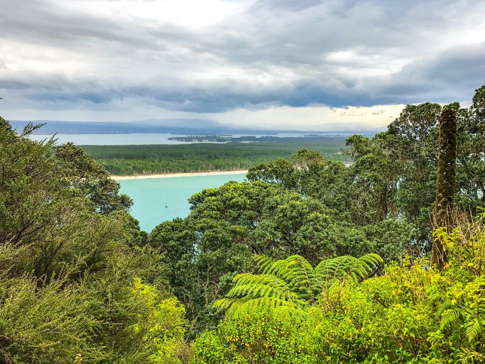
The park is 190 hectares and runs mostly around the northeast side of Lake McLaren. It was established in the mid-1960s on what had been mostly grassland. Since this, there has been extensive planting of native and exotic trees around the lake and wider park. There are also a number of walks, the main one being around the southeast edge of the lake.
There are also plenty of facilities for visitors and several camping areas.
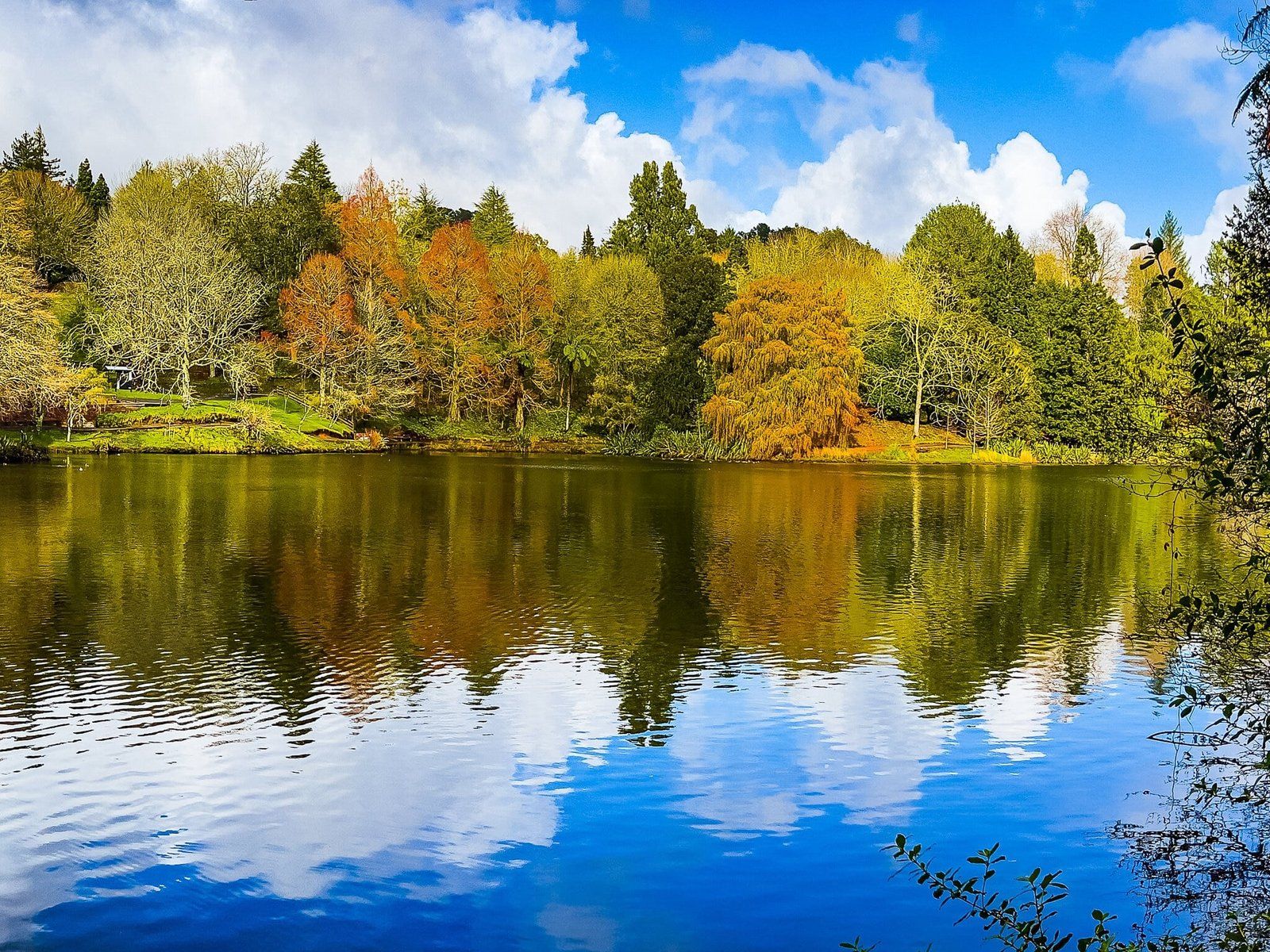
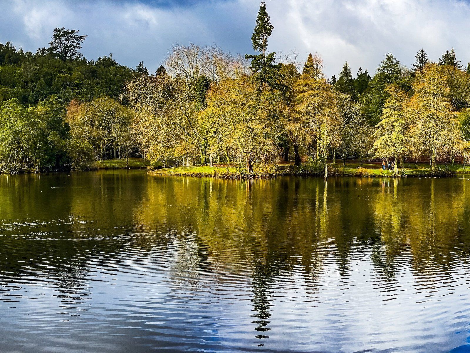
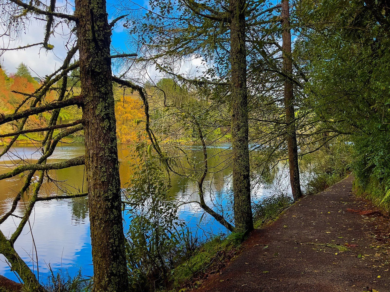
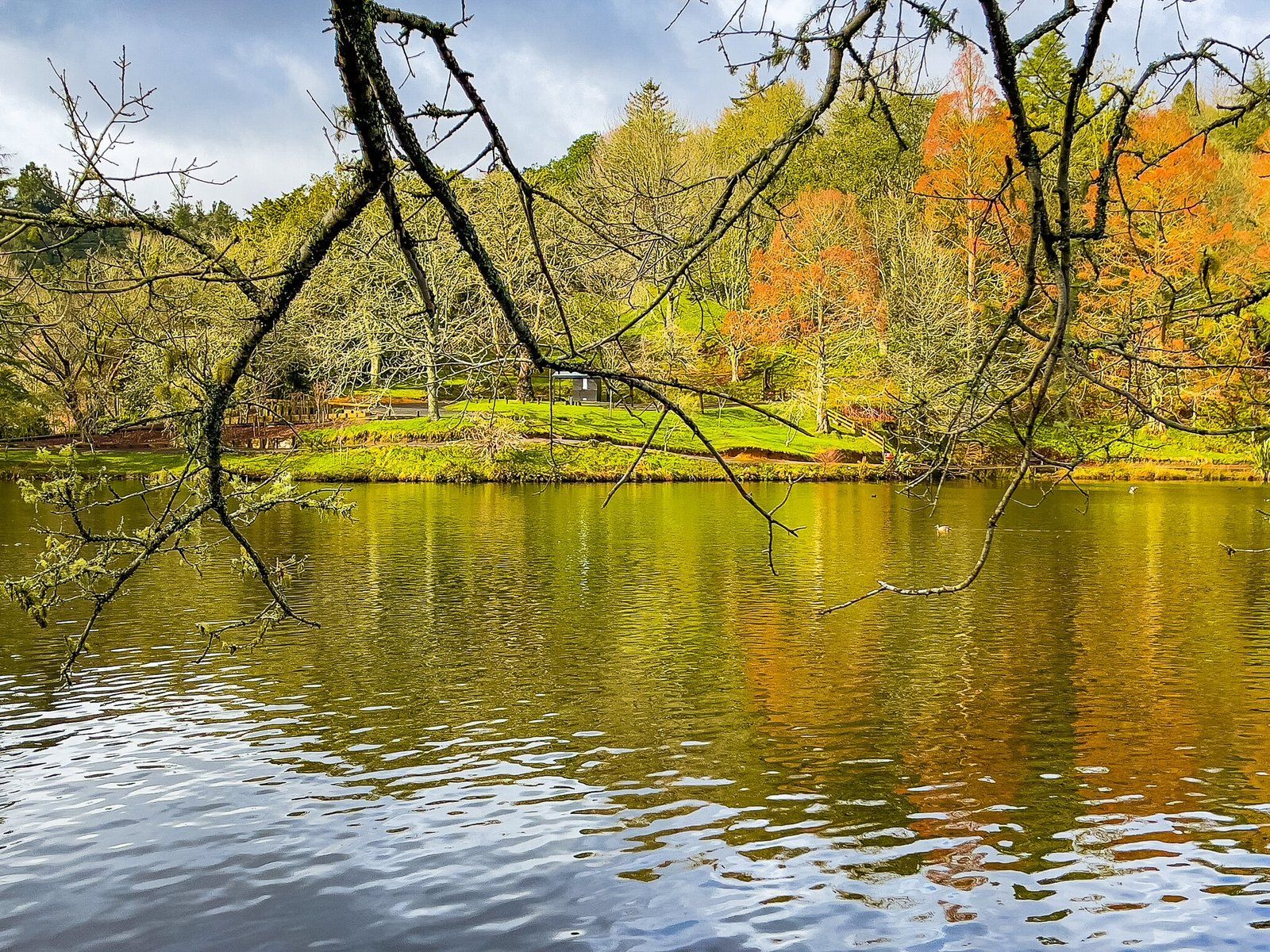
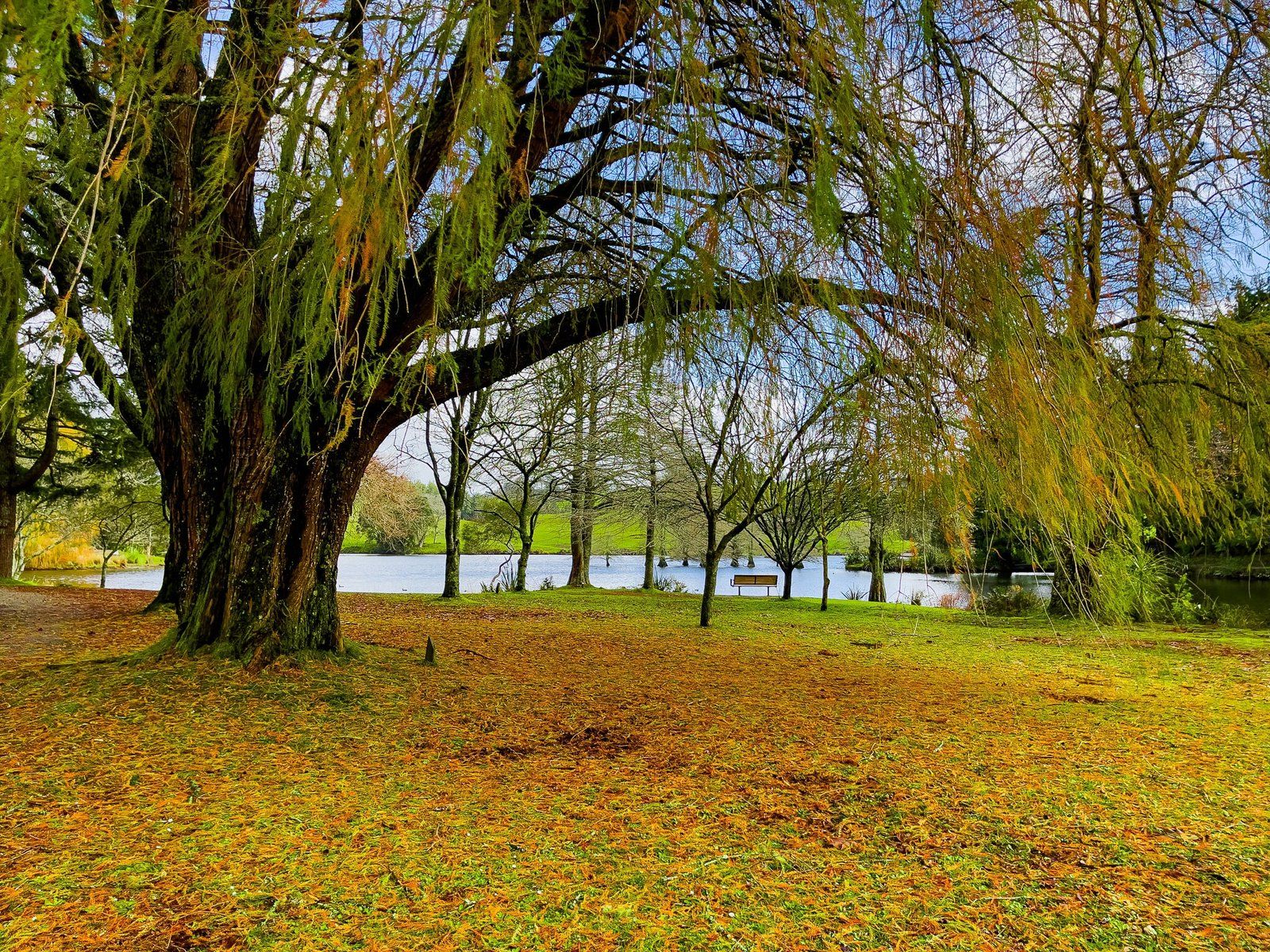
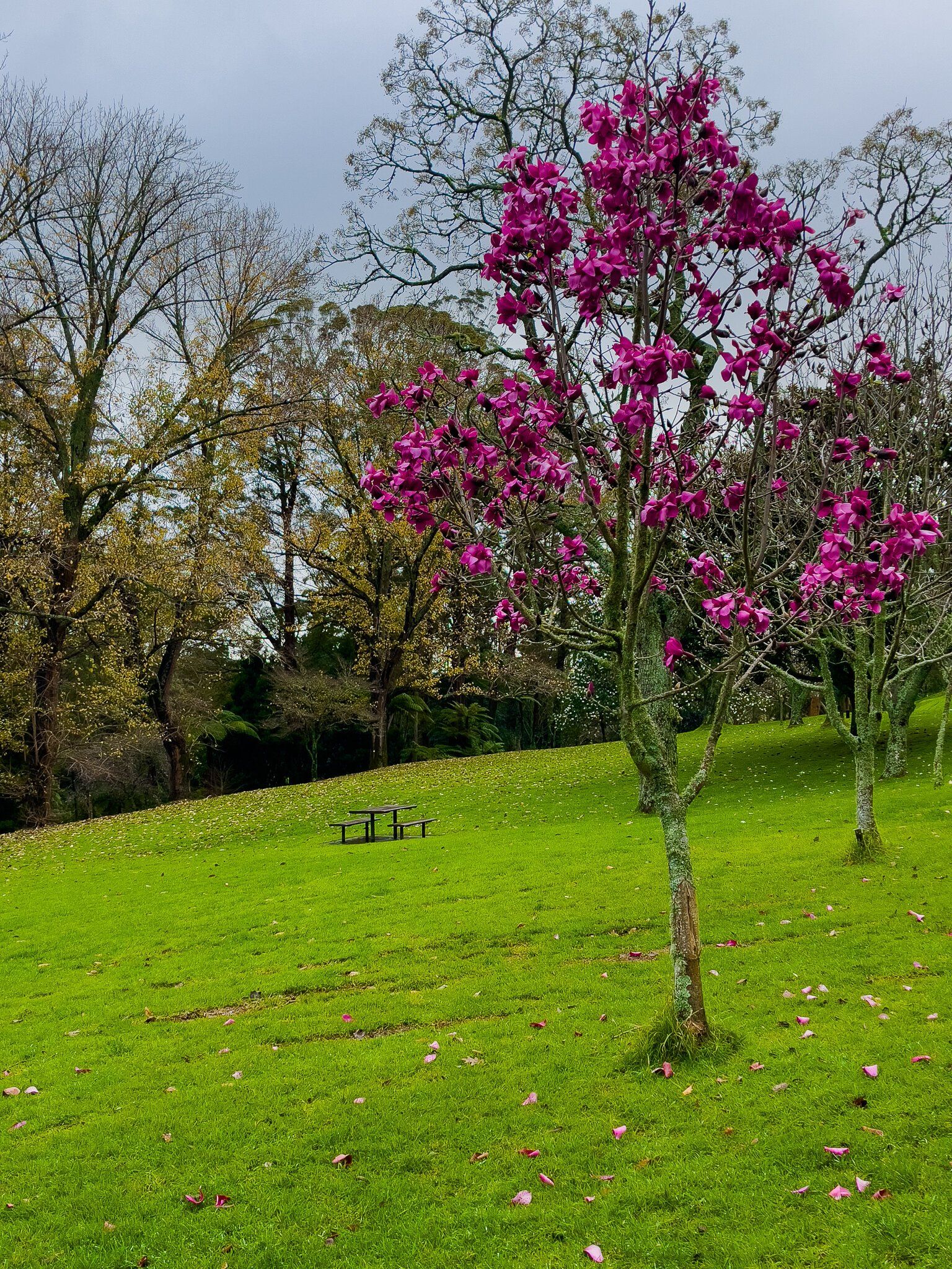
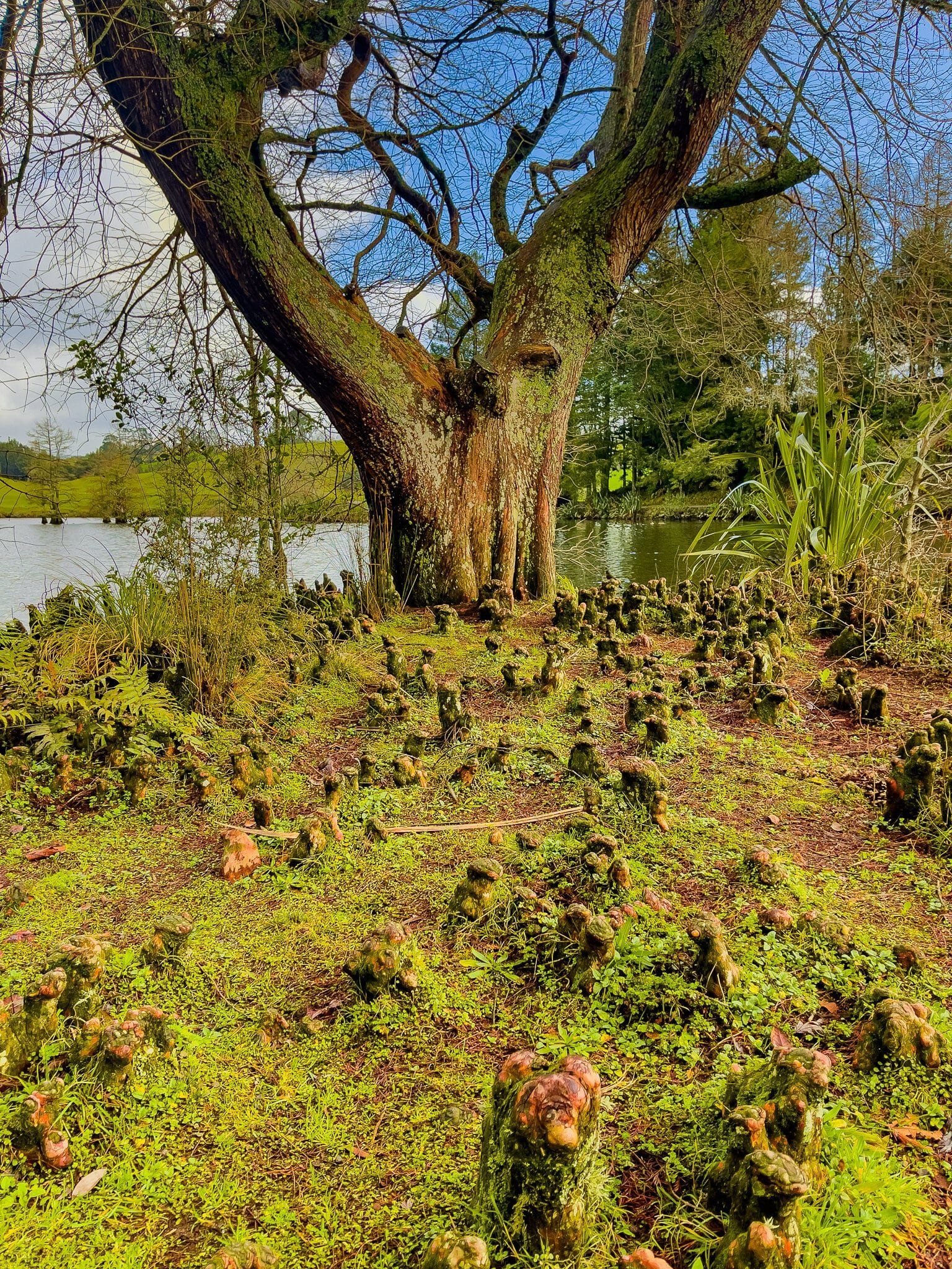
McLaren Falls Park Trees
The planting of a wide range of trees is a particular feature of McLaren Falls Park. There are a good number of trails that connect the lake to various other points of interest, through groves of exotic trees and NZ native bush and forest. These range from a few minutes to a couple of hours.
The variety of trees does have the advantage of providing a range of seasonal experiences, with spring flowering through to autumn colours, to NZ evergreens. When we visited at the end of winter, magnolias were just starting to flower. There are numerous places to settle in for a picnic, and to camp, around the various groves of trees.
Mt Maunganui
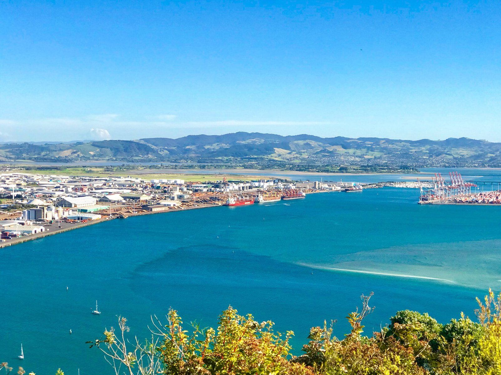
Mt Maunganui is known as both a beach-facing suburb of Tauranga and for the striking volcanic remnant (a 2- to 3-million-year-old lava dome) that sits on the east side of Tauranga Harbour entrance. The Mount is at the end of a spit that connects it to the mainland.
It can be a hassle to get through the traffic, past the Port of Tauranga, to the Mount. But it is worth it and you can generally park reasonably nearby, though we recommend avoiding peak summer periods.
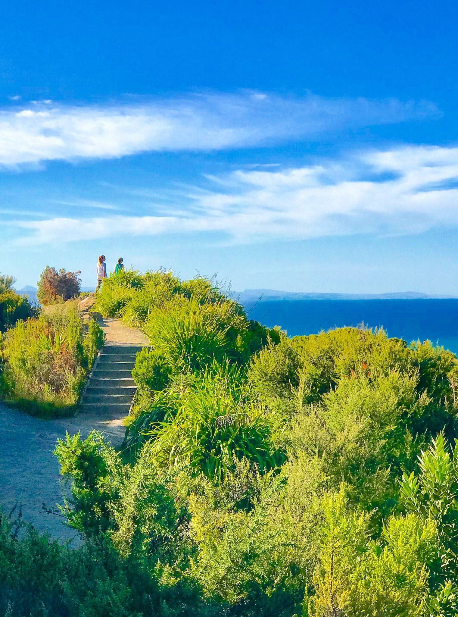
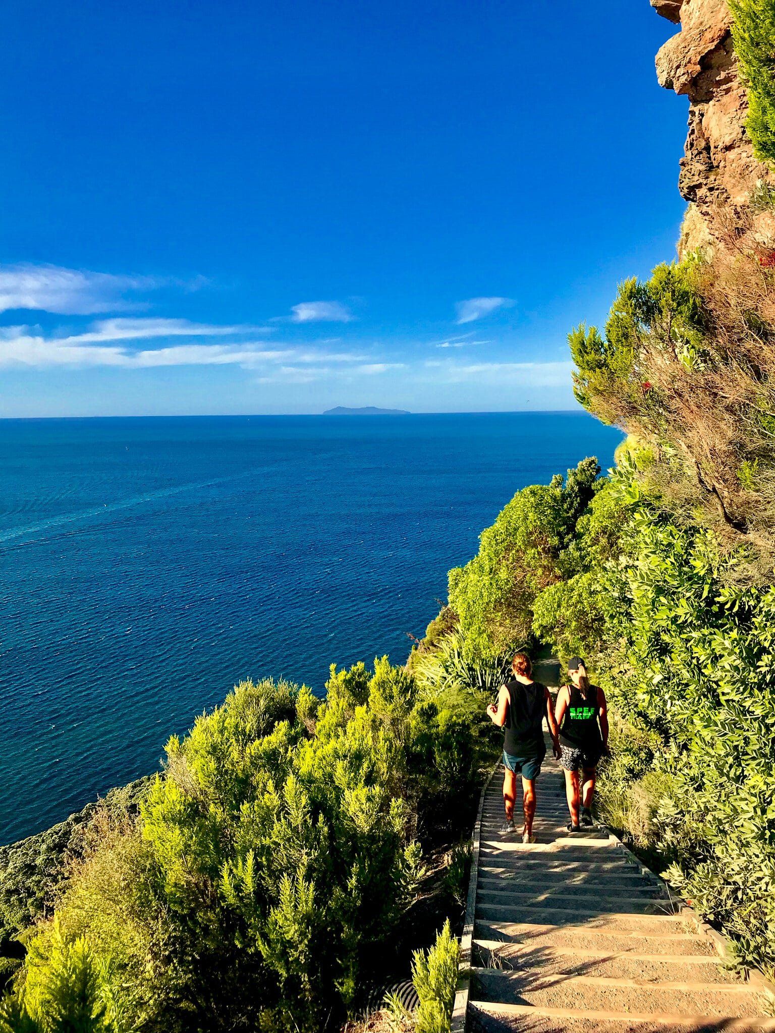
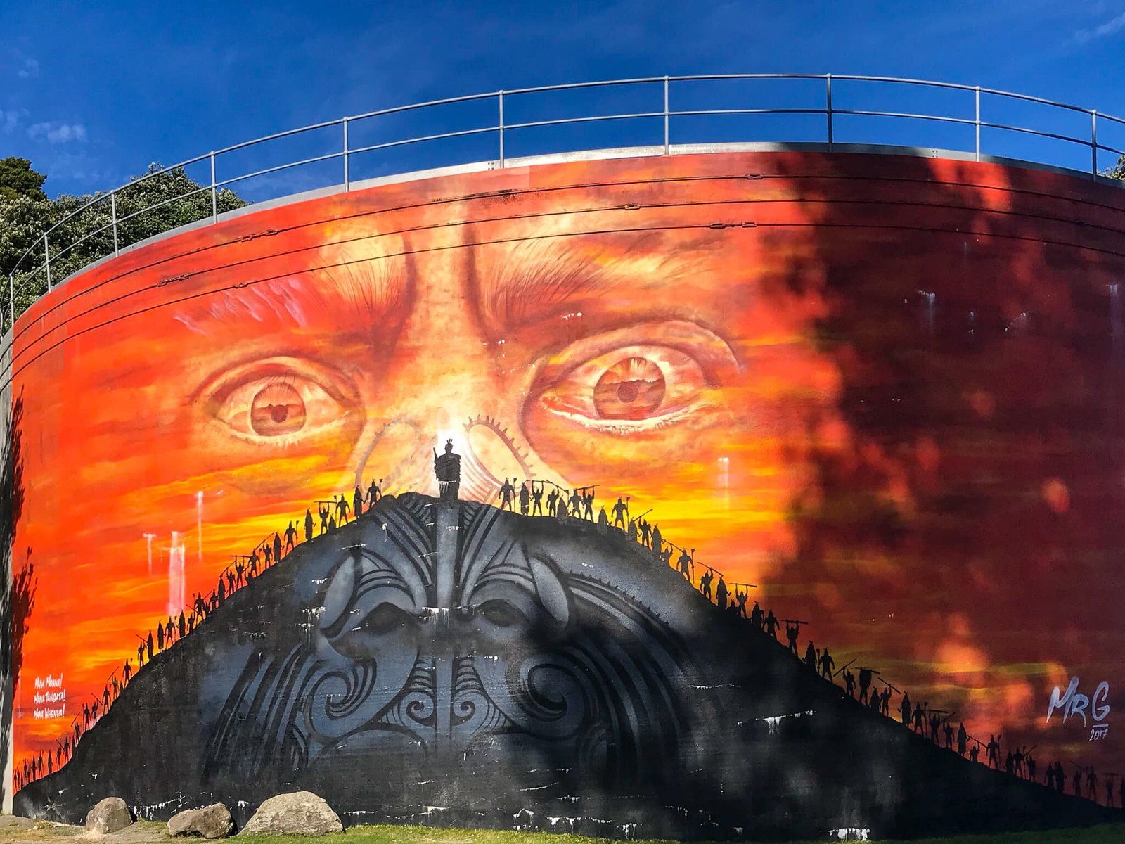
There are several options for a hike to the 231 metre top. The best is to take a low route on the ocean side of the Mount until you reach a steeper section that winds around the north side of the Mount. This has the best views, as well as the sense of being right on the side of the cliff in some sections, while perfectly safe. Alternatively, go more or less straight up the steep (and dusty in dry weather) front. There will be a few sheep and you get to see the colourful mural on a water tank on the way up.
Either way, the view from the top is magnificent; 360 degrees over the harbour and city, the ocean and south along Maunganui Beach and the wider Bay of Plenty coastline. Definitely a must-do if you are visiting the area.
Maunganui Beach
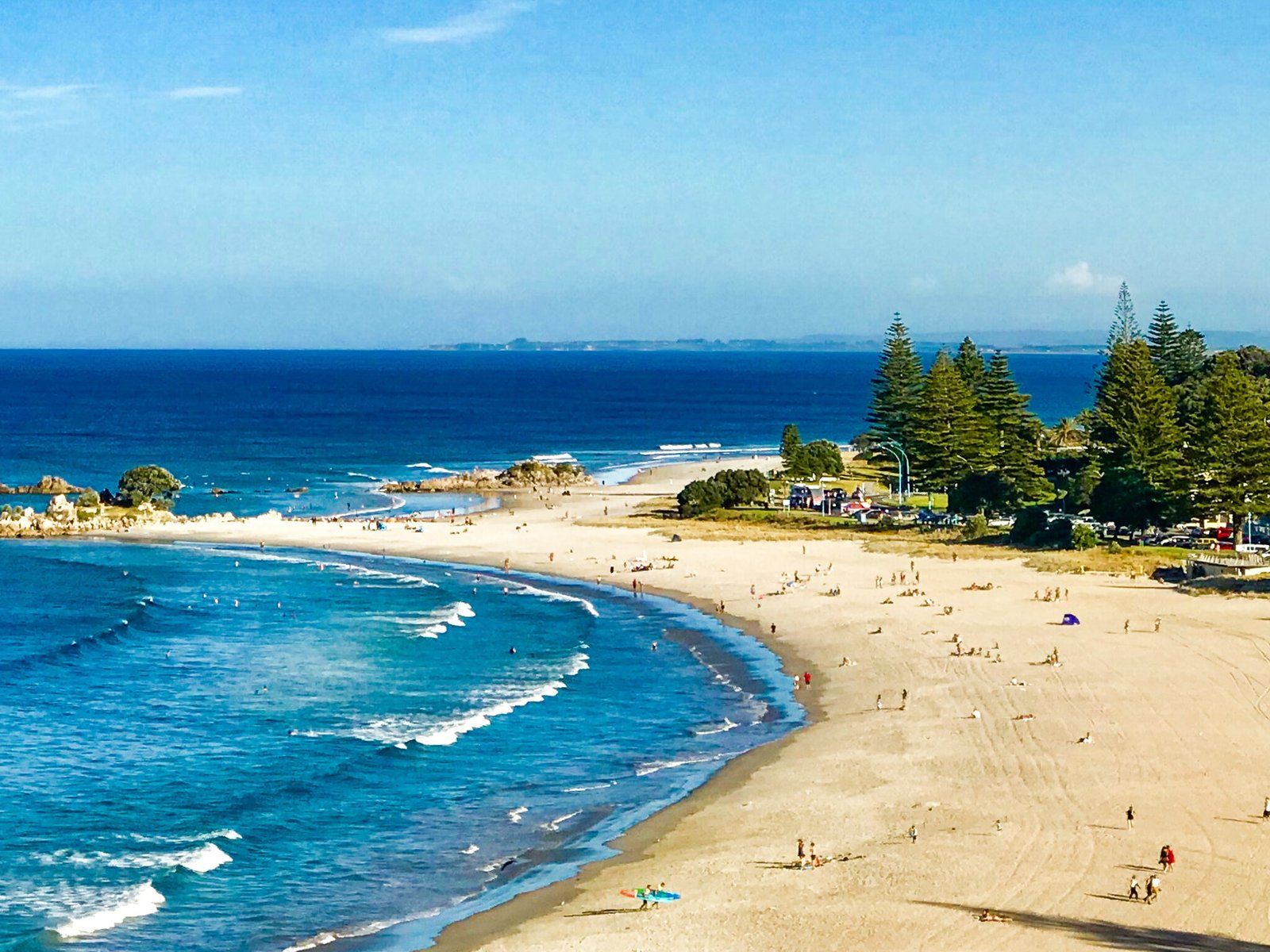
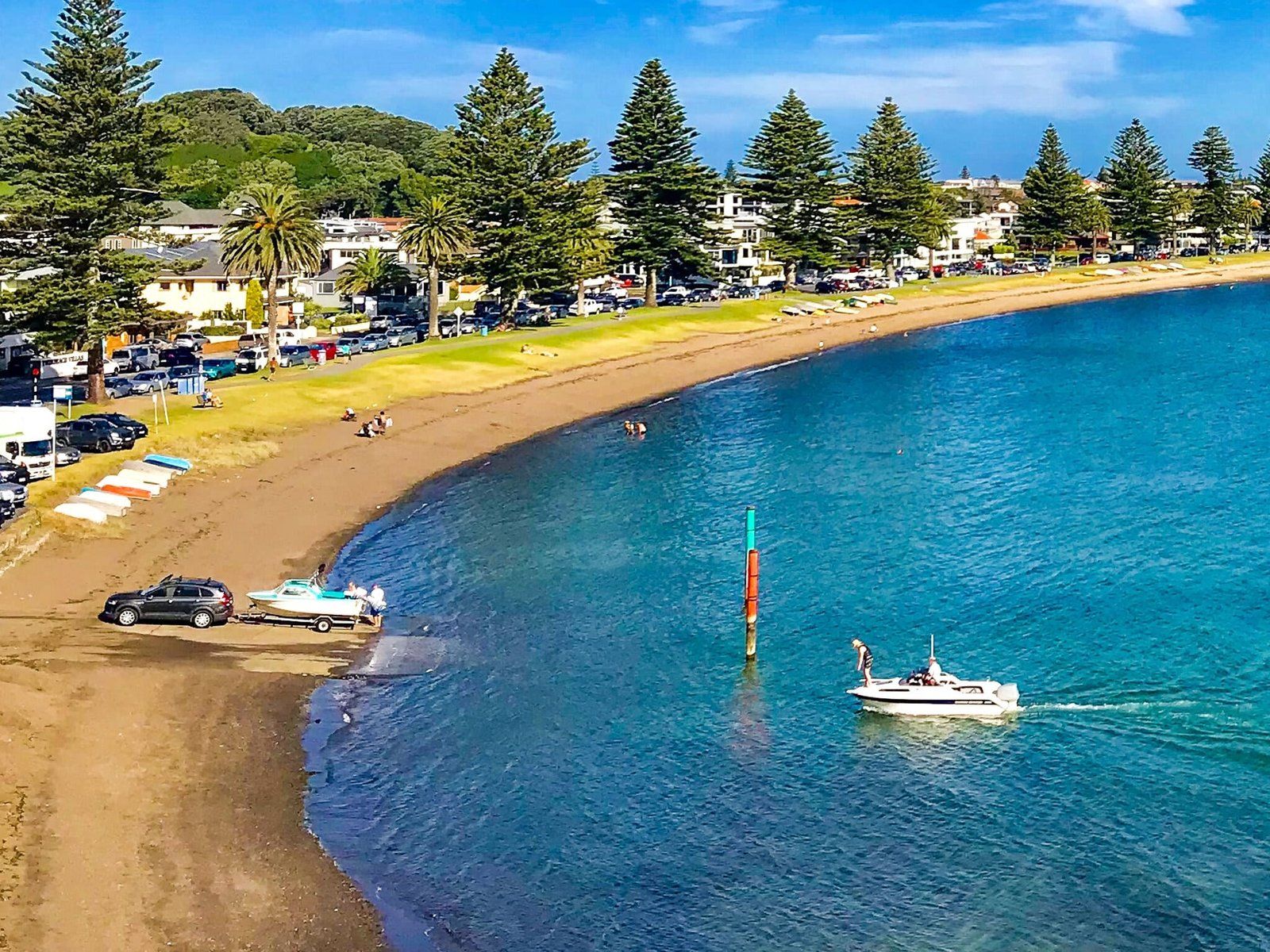
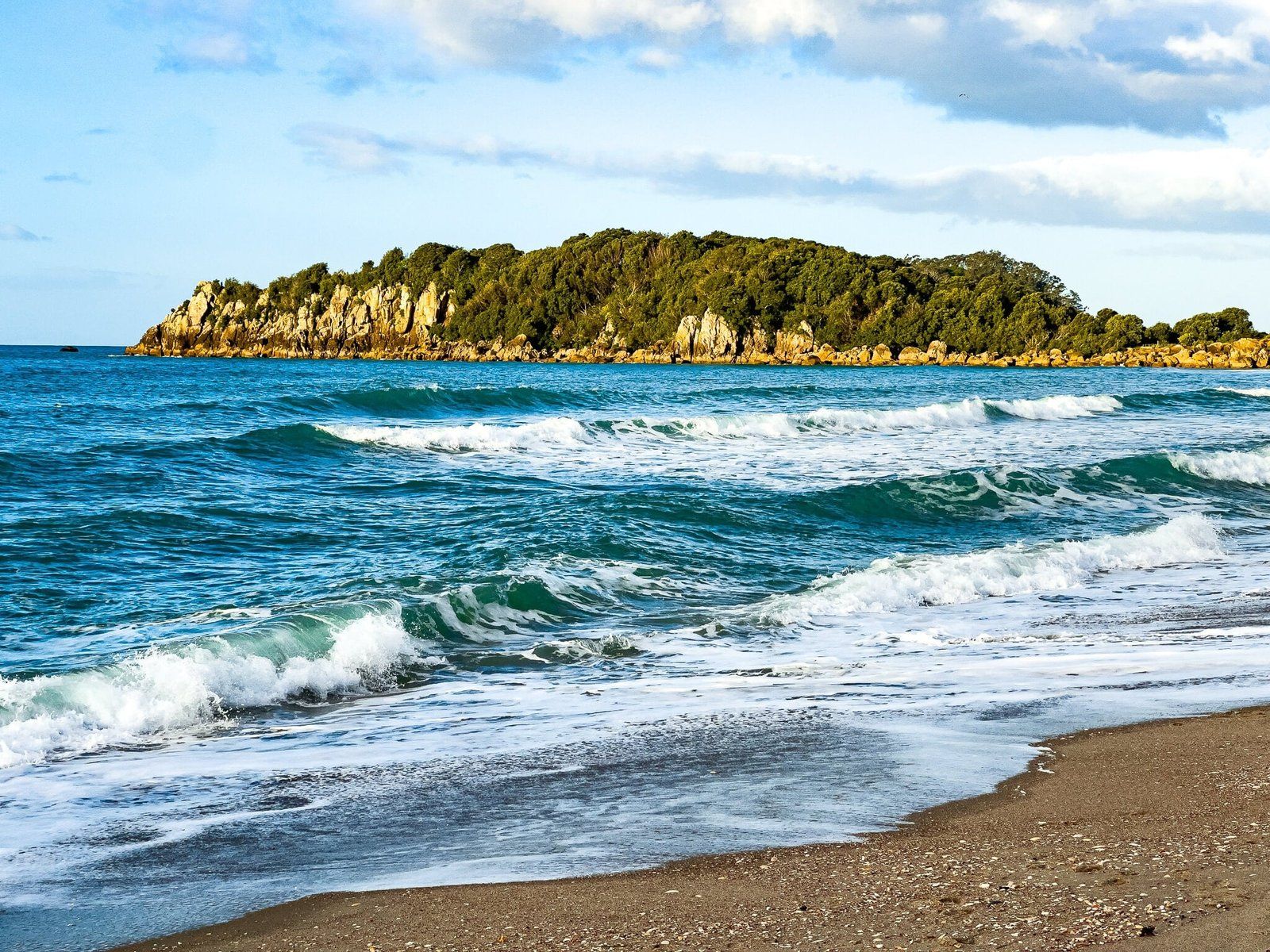
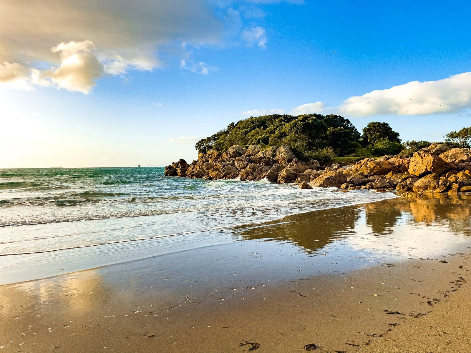
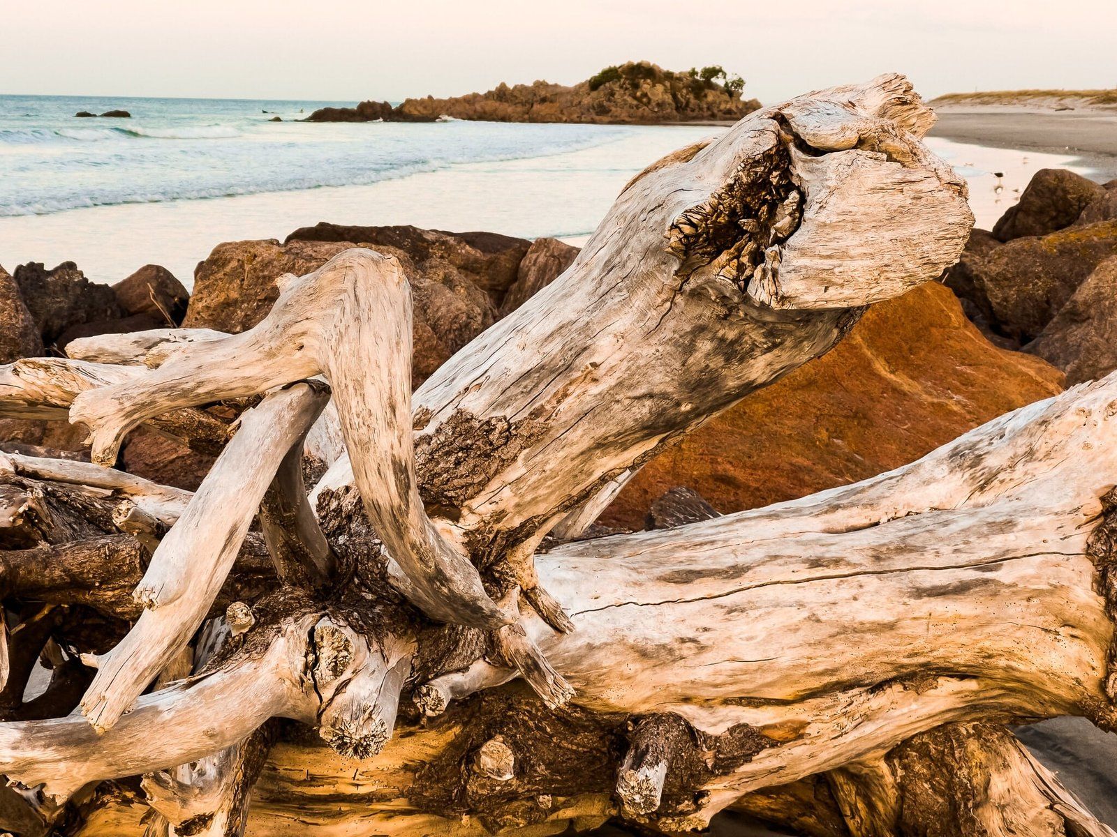
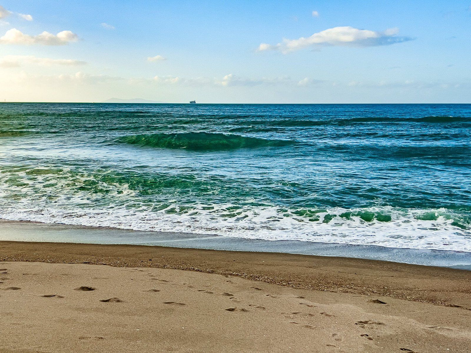
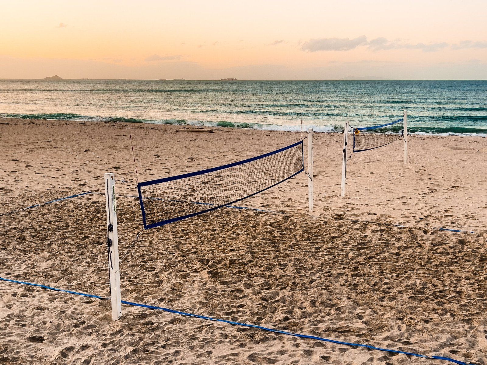
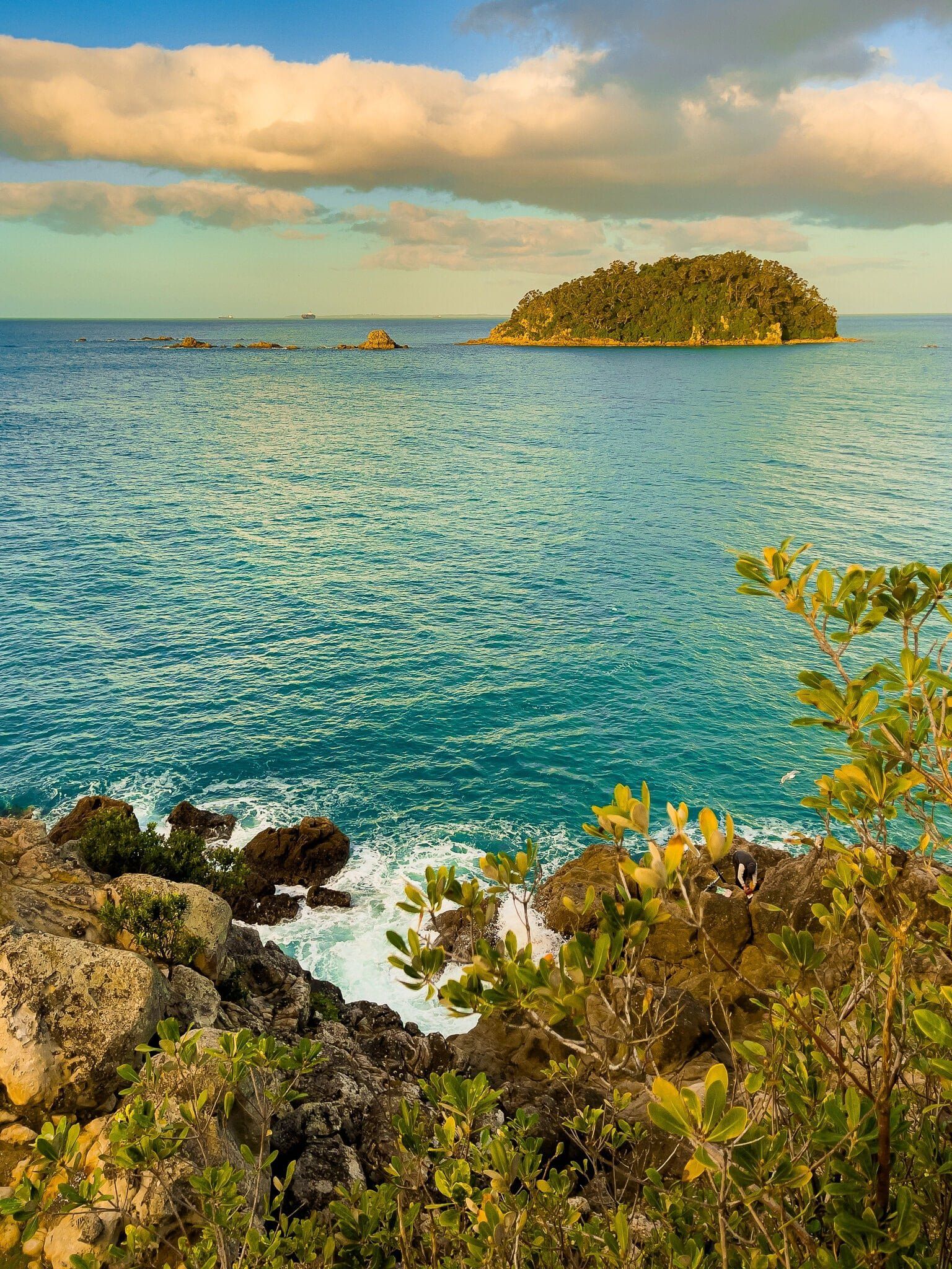
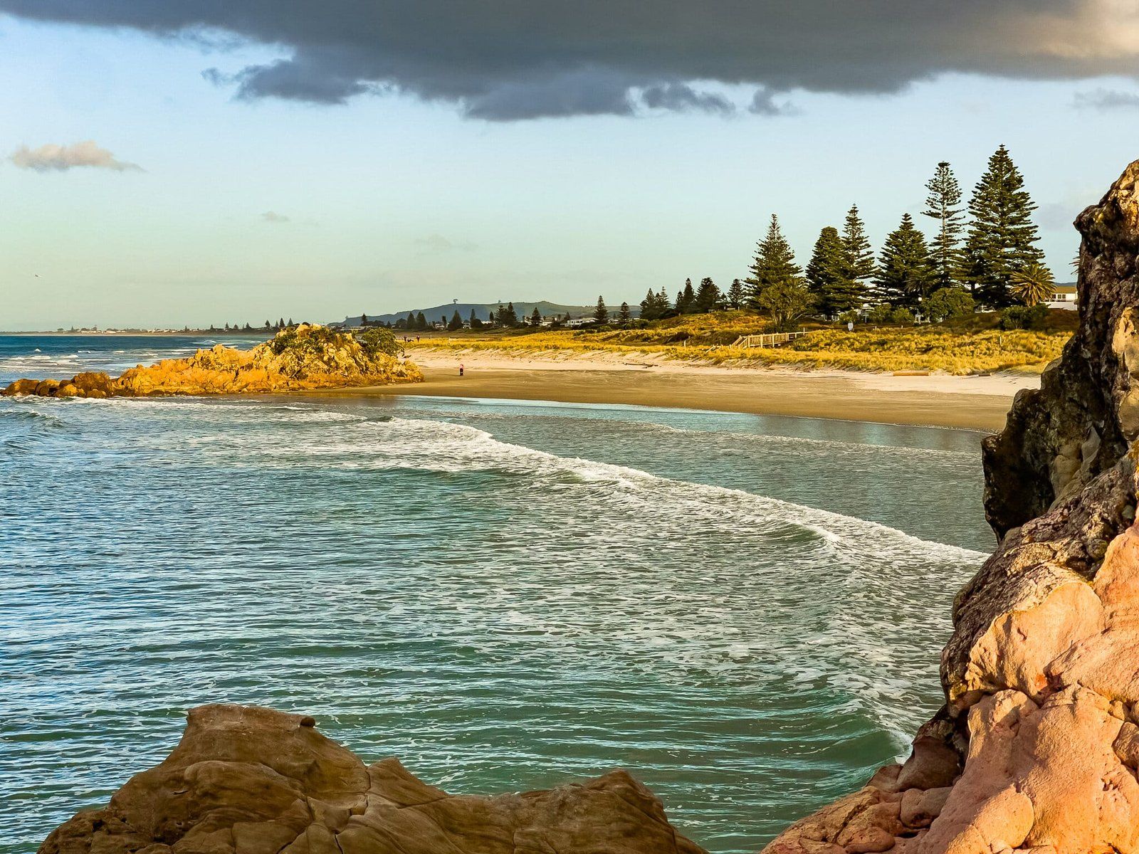
Maunganui Beach is the beautiful crescent shaped beach between the Mount and Moturiki, the obvious rocky point covered in pohutukawa regrowth. The beach itself is similar to many others along the east coast of the north Island – mostly whitish sand with a golden tinge and patches of colourful shell debris. But unlike most others, it has a major city on its doorstep, complete with high rise apartments that overlook it, beach volleyball and some cool food trucks. There is nowhere else in NZ with a similar vibe, although there are plenty of city beaches around the country.
As you would expect, the beach is busy in warm weather and pretty much overwhelmed during summer holidays. But you can still visit without crowds at other times of the year and it’s a relatively safe place for an ocean swim. If it is too much for you, drive down the coast road a bit – the beach extends beyond Moturiki for about 30 kms, all the way to Maketu.
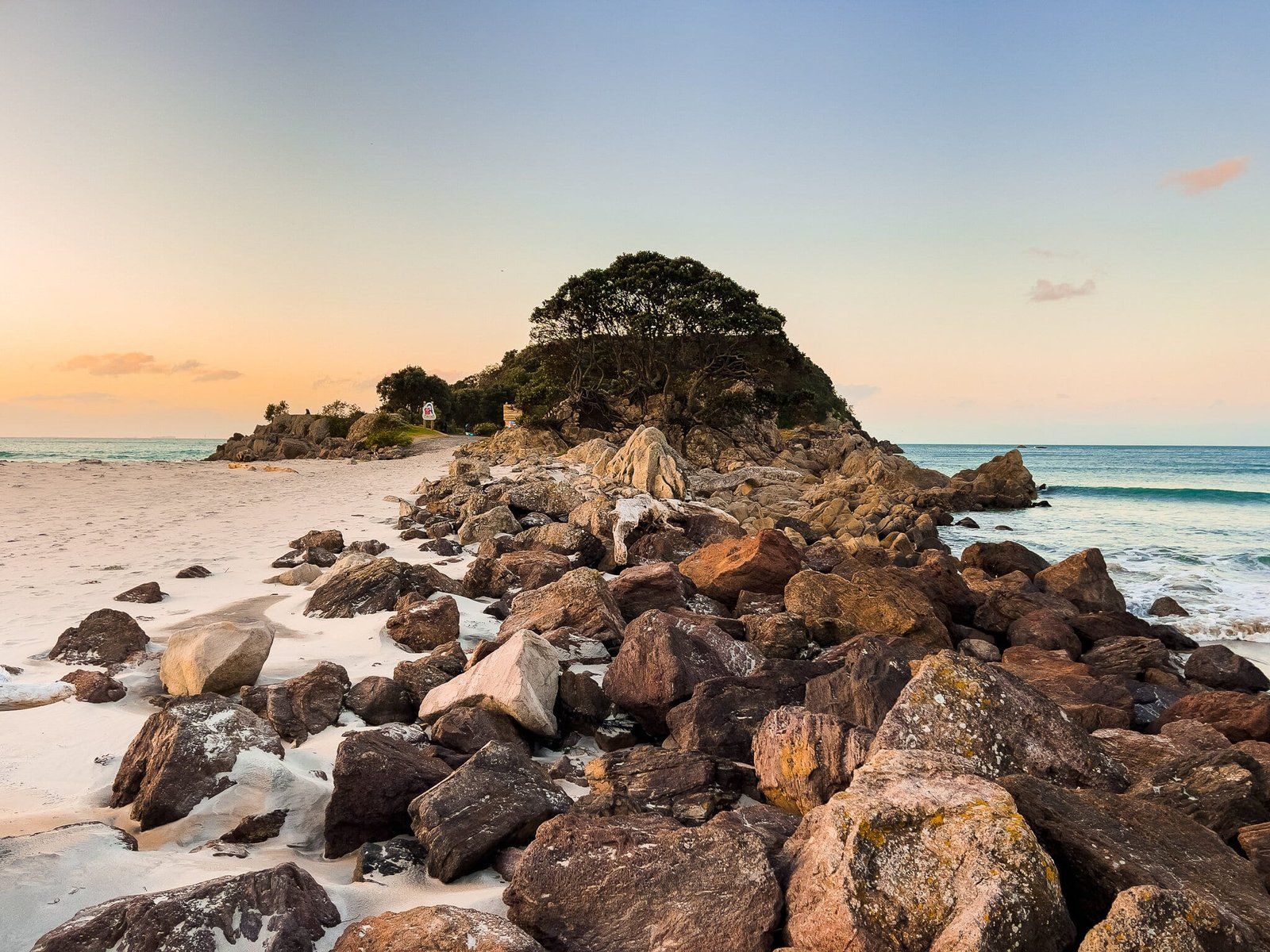
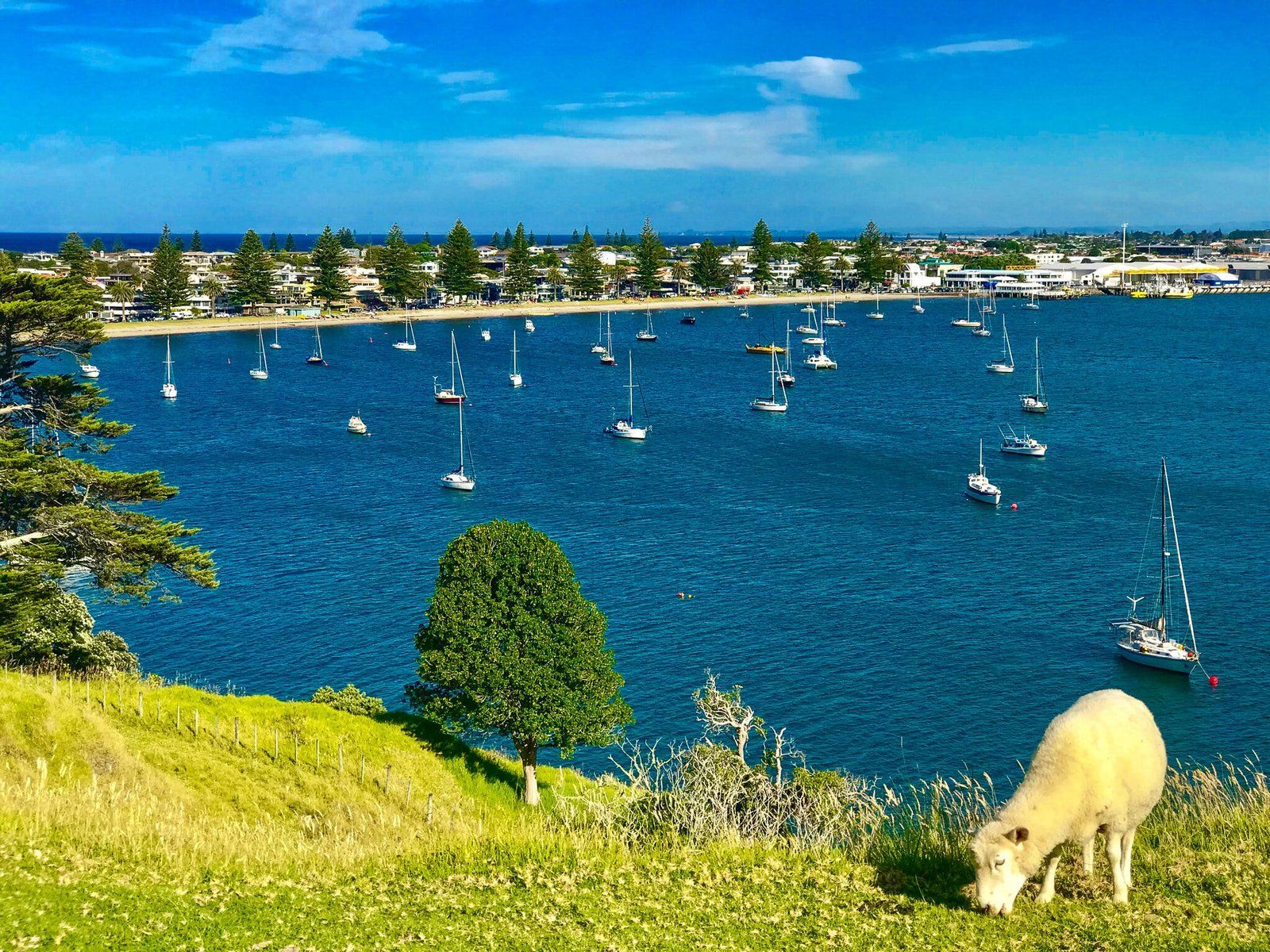
Moturiki Island
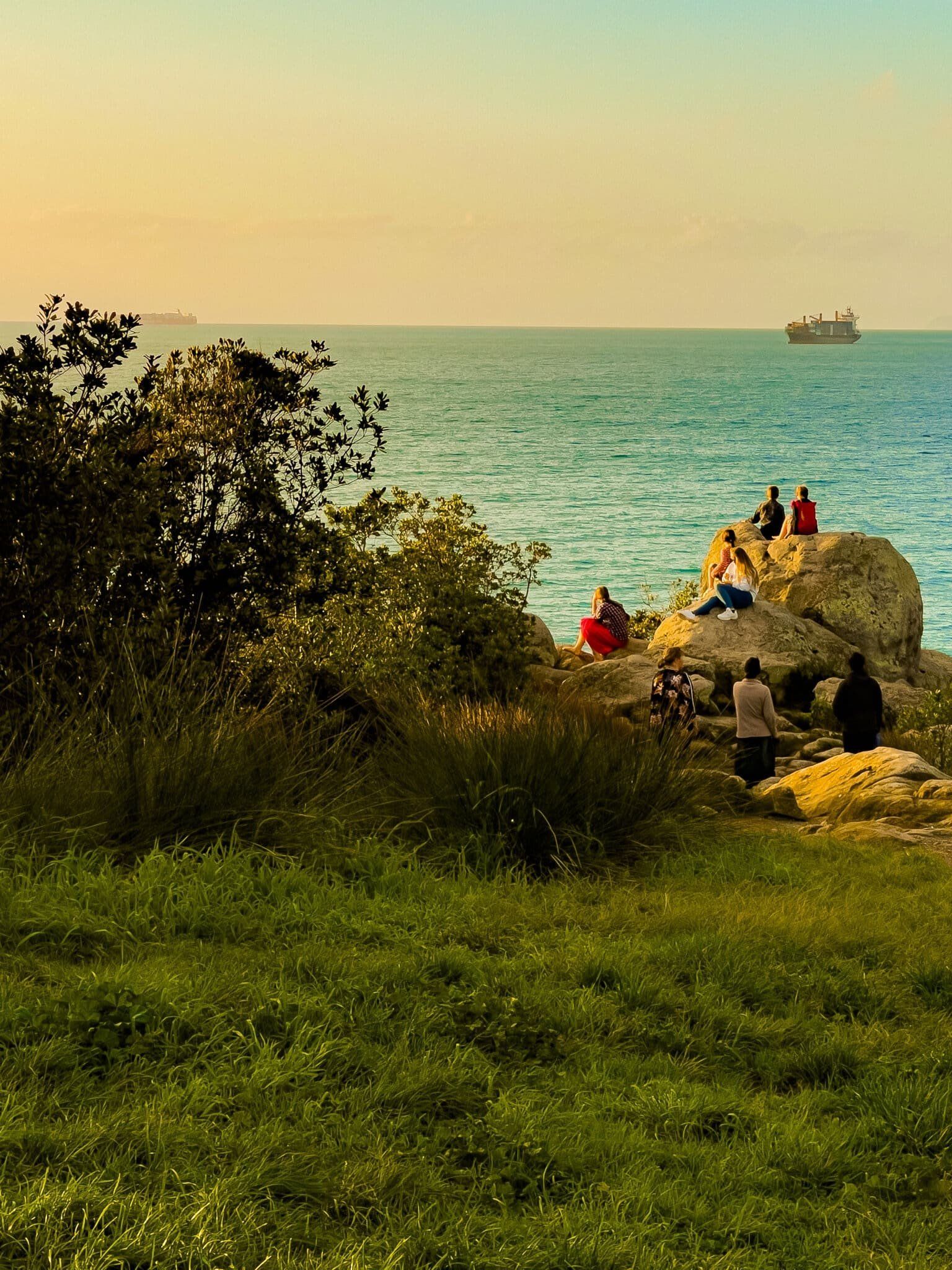
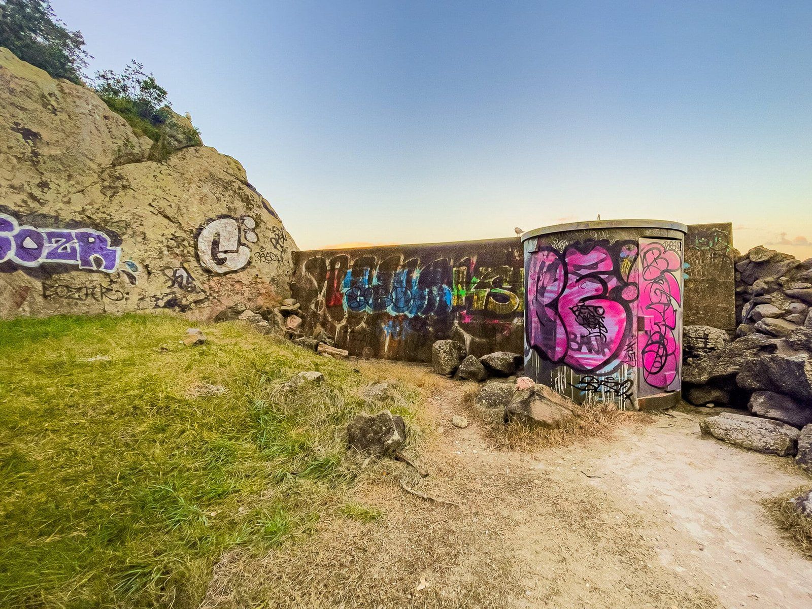
In most places, the walk along Moturiki Island would rate highly, at least for visitors, but it is probably overshadowed by the climb up the Mount. Technically, it is no longer an island as you can walk onto it at high tide. Moturiki is also known as Leisure Island and there is an interesting panel just after the start of the walkway that describes its history. It was once a pā and largely denuded of trees. Then it was quarried on the south side for 12 years from 1911, resulting in some large pits. From 1966, the pits were used by Marineland for dolphin pools, then by Leisure Island for various water activities from the early 1980s till 1990. All you can see now are the remains of retaining seawalls and some graffiti and the creep of forest regrowth around the edge of the old quarry.
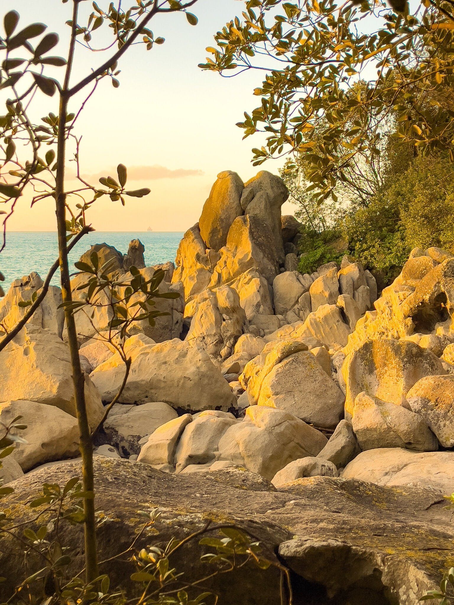
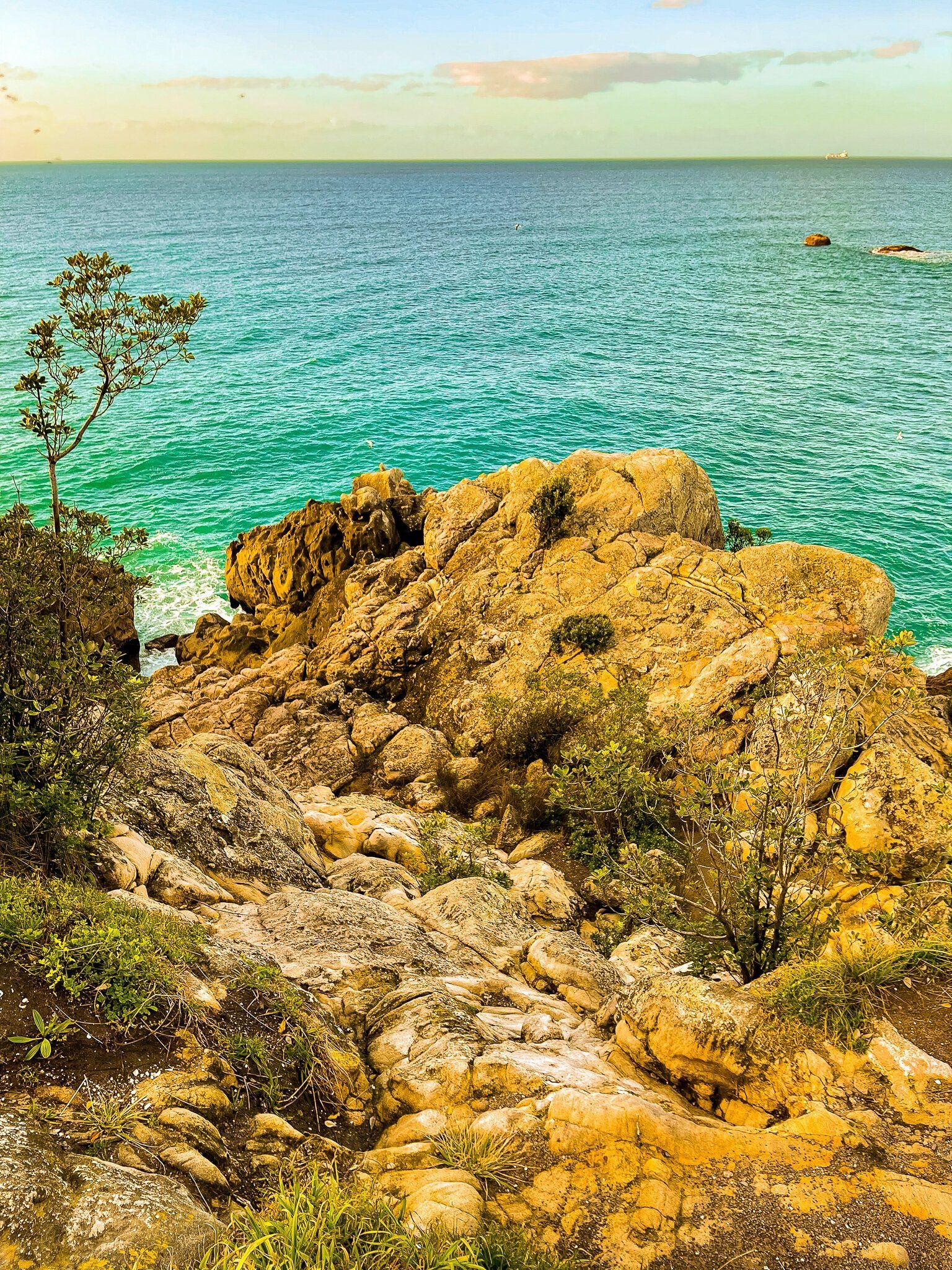
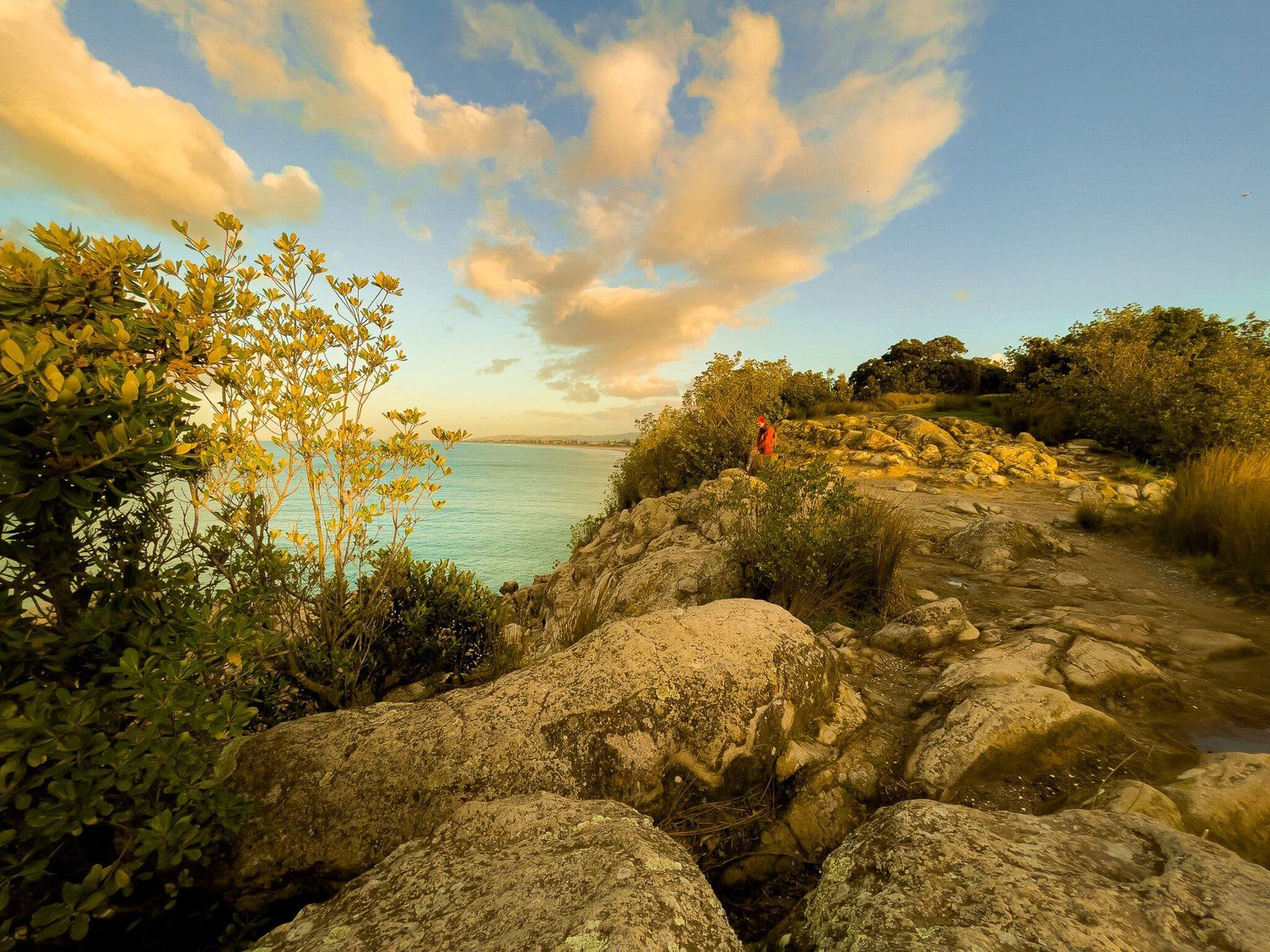
After the short walk to the old quarry and pool remnants, take the main walk along the north-facing coast of the island, now mostly shrouded in young pohutukawa trees. There are a couple of places where you can get down to the rocks below the cliff edge, otherwise walk all the way to the scenic rocky point at the end. The point is spectacular and a popular hangout as the sun sets, with great 270 degree views from Maunganui Beach and the Mount around to Motuotau Island and the 30 kms of beach to the south.
Want more Trip Ideas?
Check out our blogs on the Napier to Taupō Loop Route, Exploring Napier, and The Coromandel: Pauanui and Tairua.