Arai-Te-Uru / South Head is a fabulous short harbour walk and viewpoint in Northland. Take Signal Station Road to the car park from State Highway 12, immediately south of Ōmāpere. Several panels describe the head's history, including its discovery by Kupe and Kuramārōtini, Kupe’s eventual departure, and the subsequent settlement of Hokianga by his descendants, Nukutawhiti and Ruanui. One of the panels is a memorial to the victims of the bar, as not everyone made it safely, with 23 wrecks.
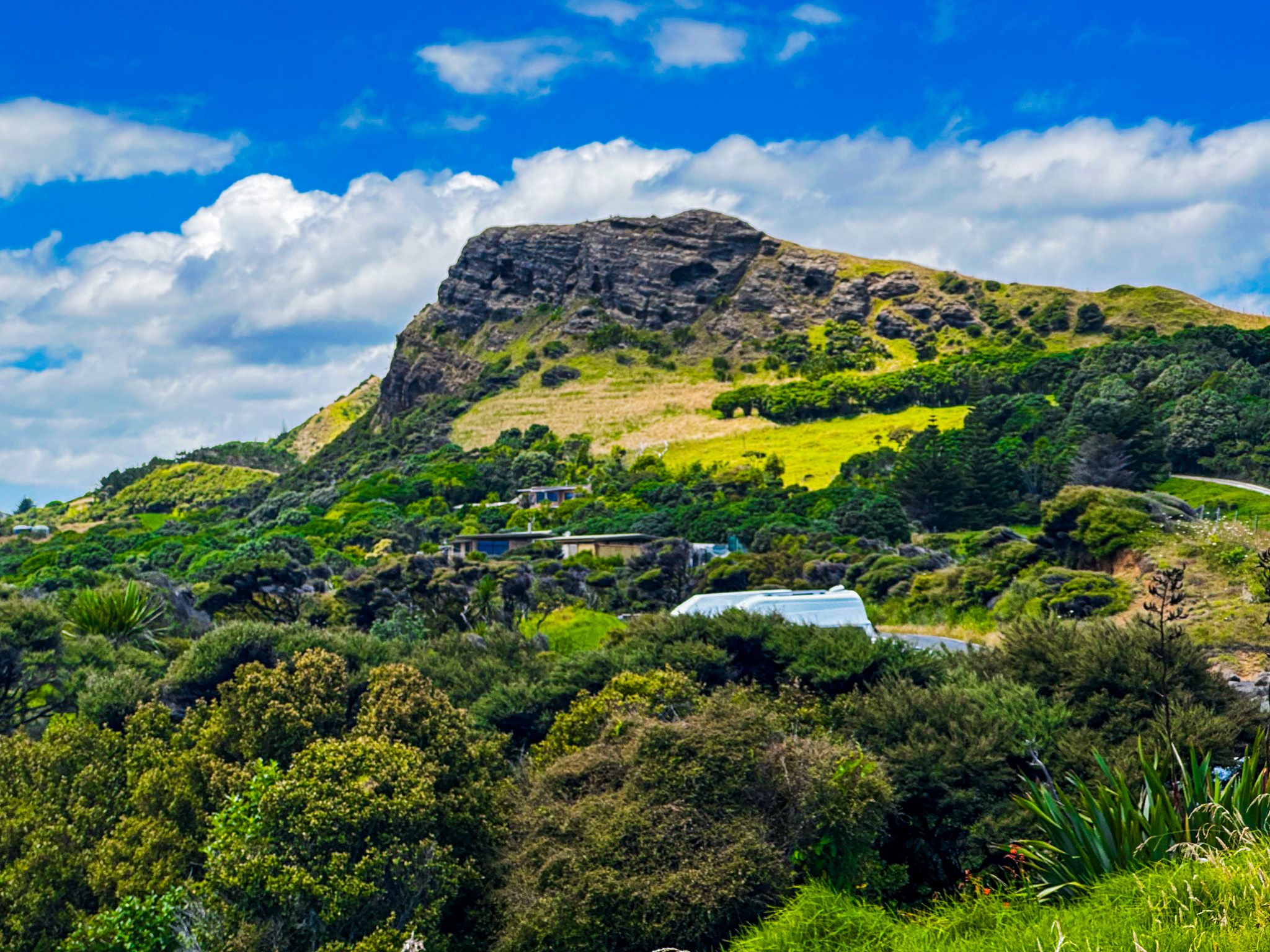
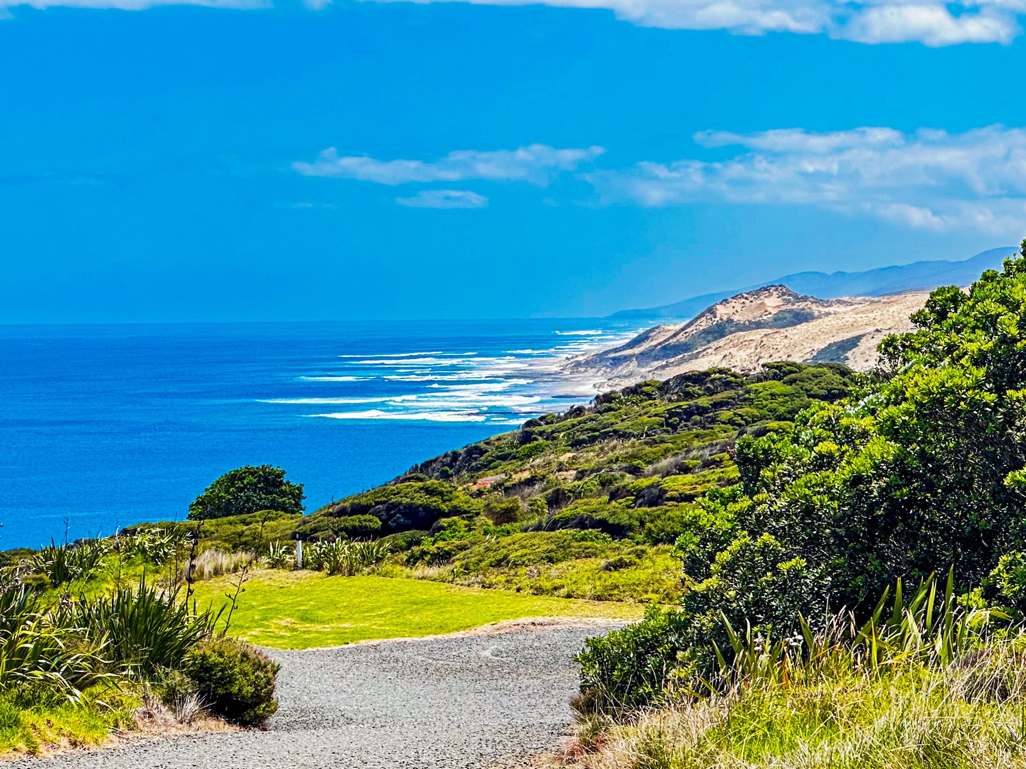
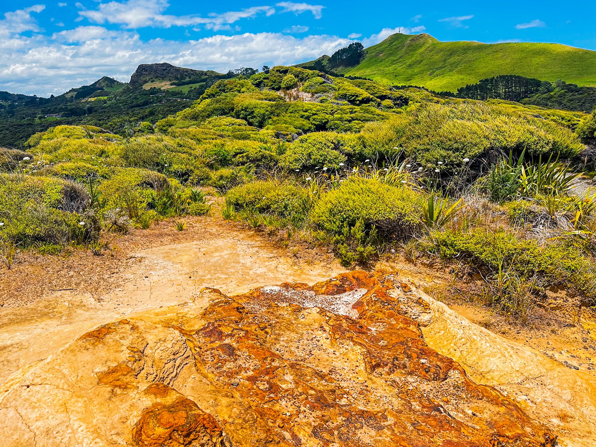
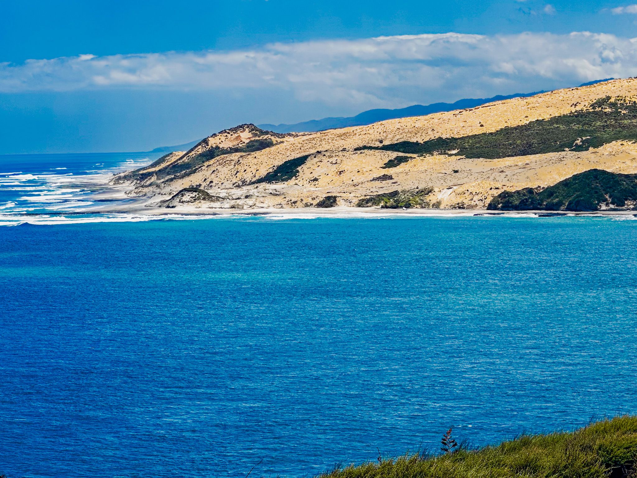
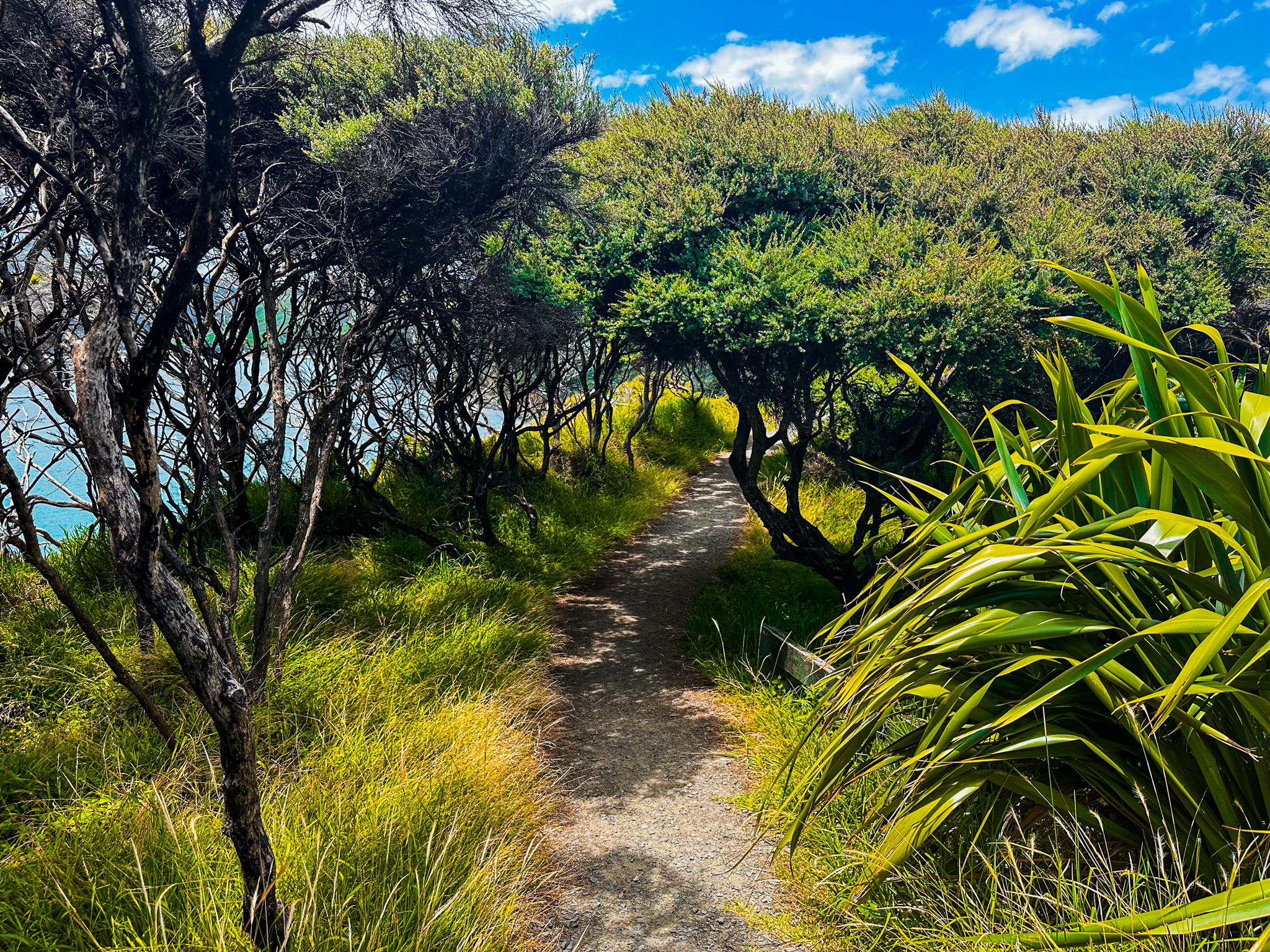
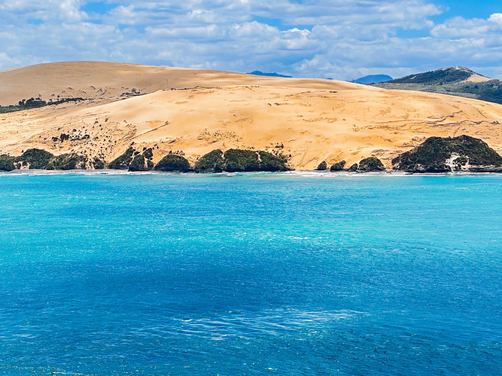
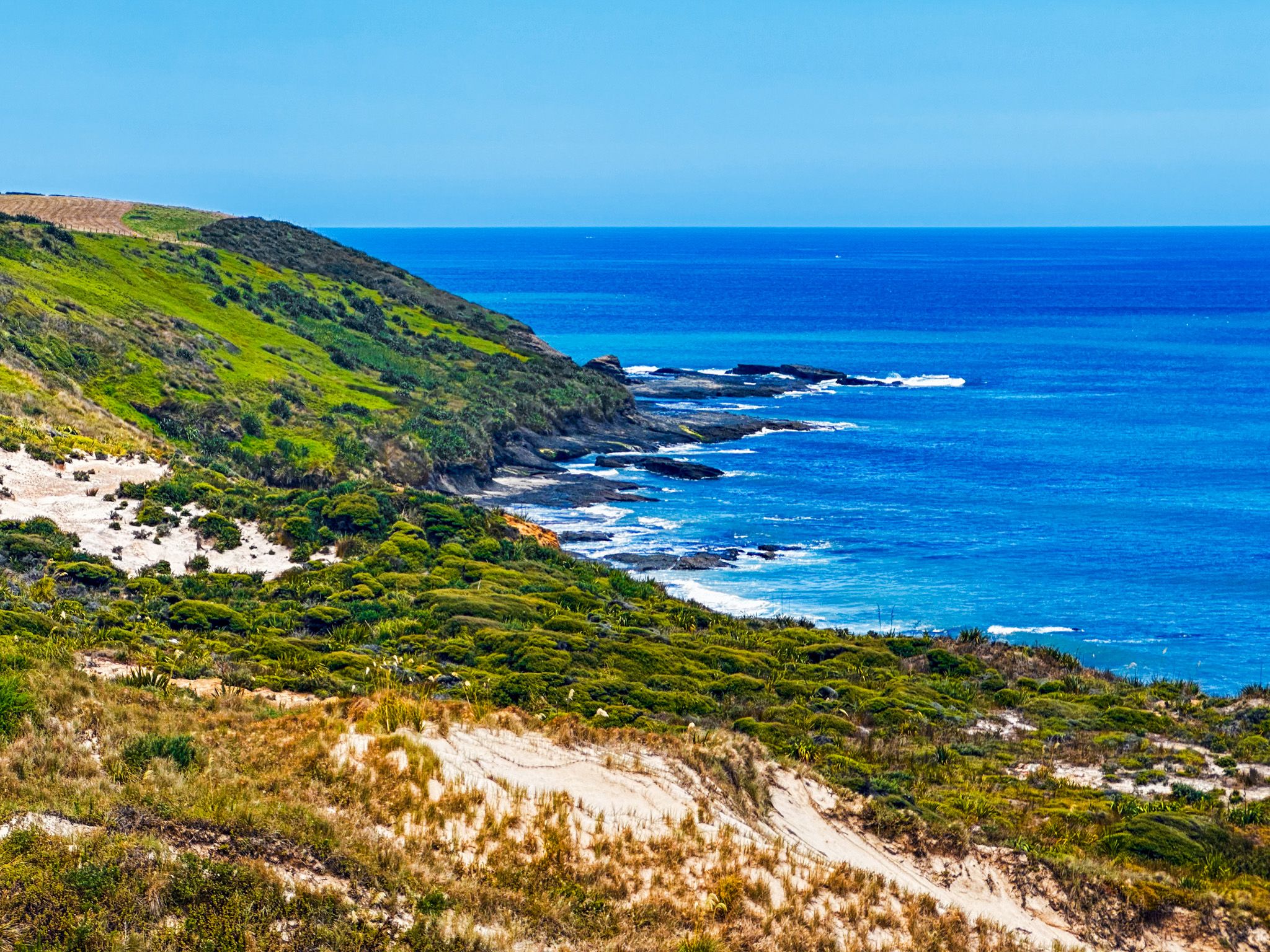
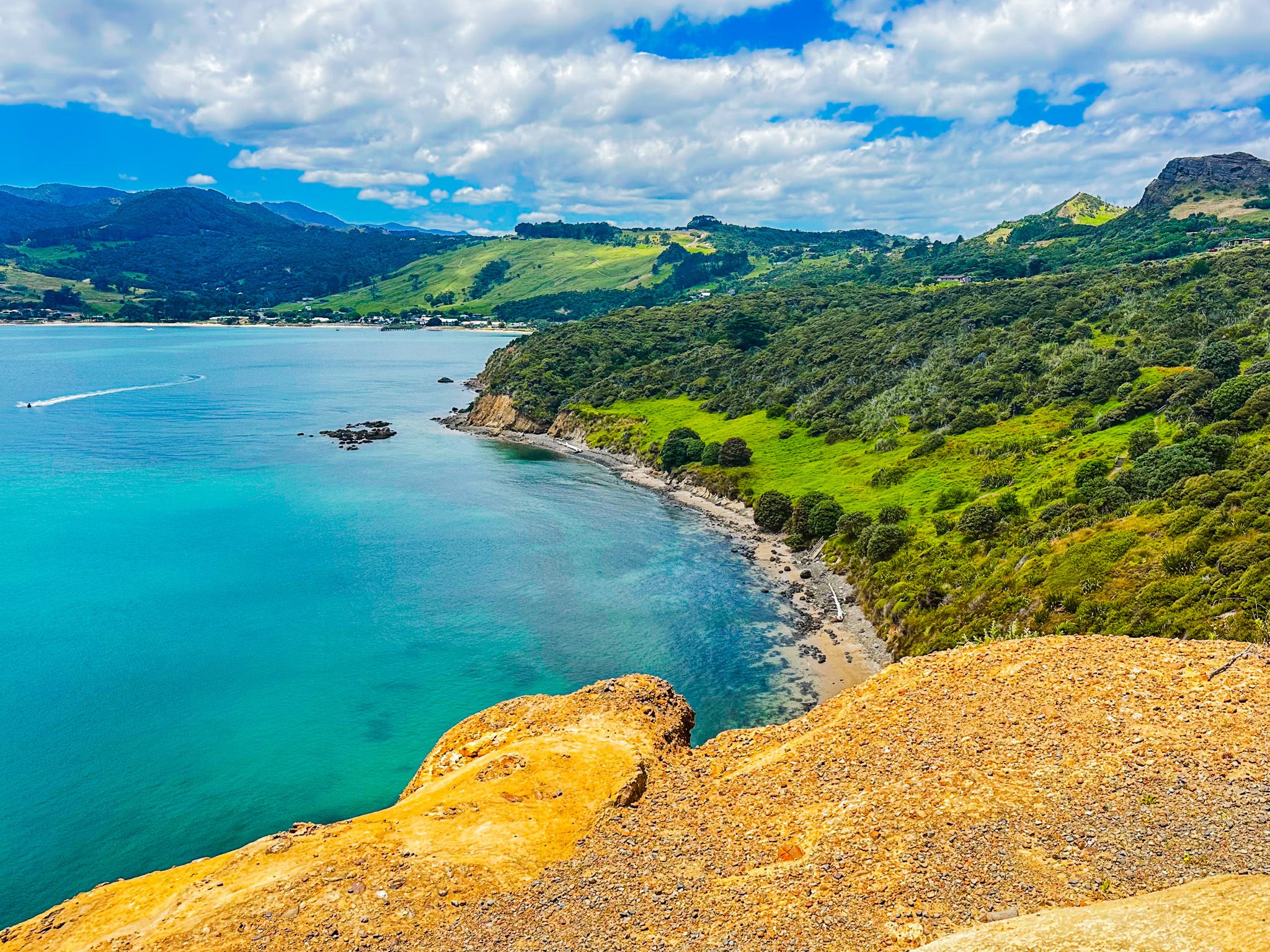
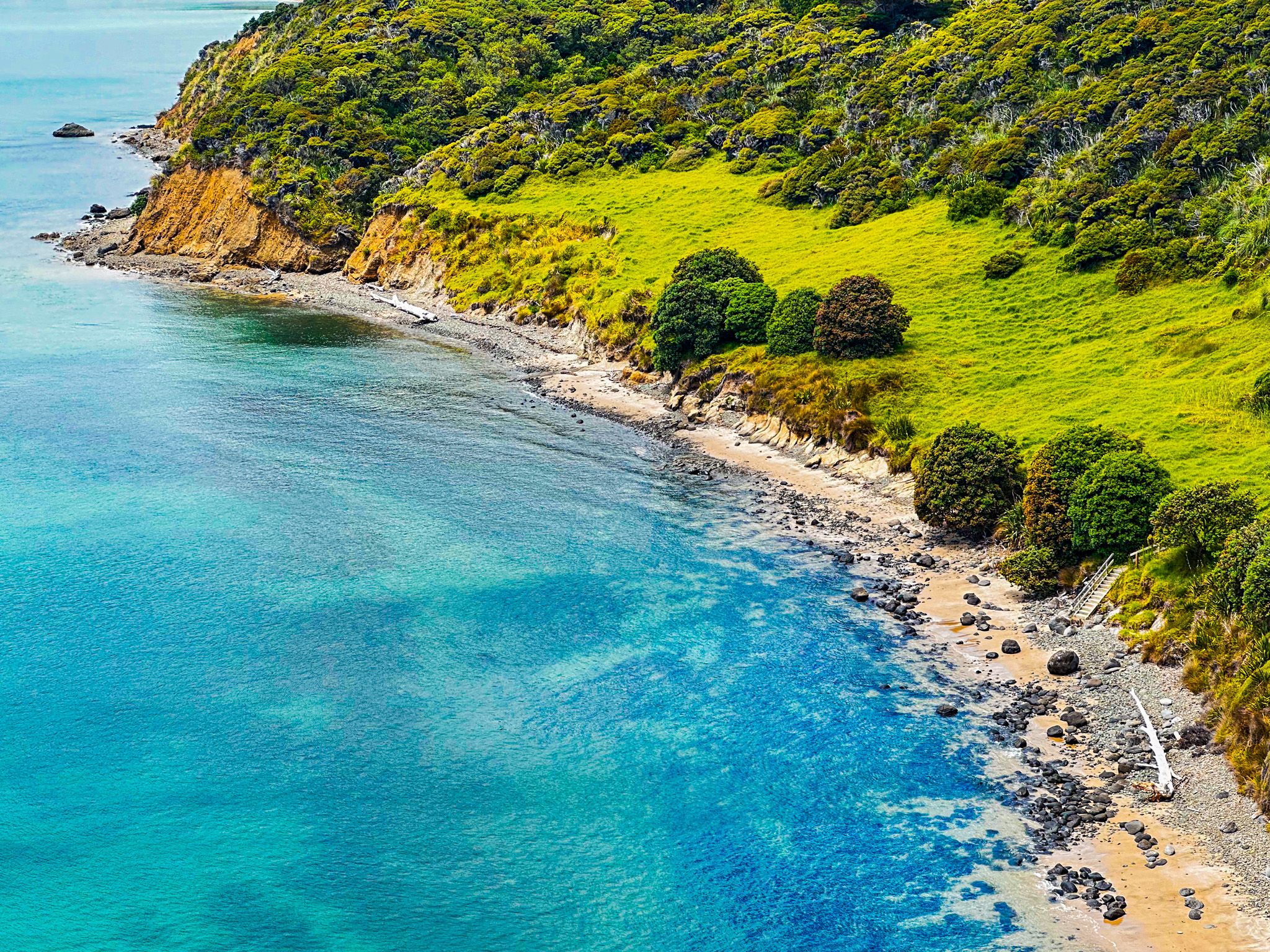
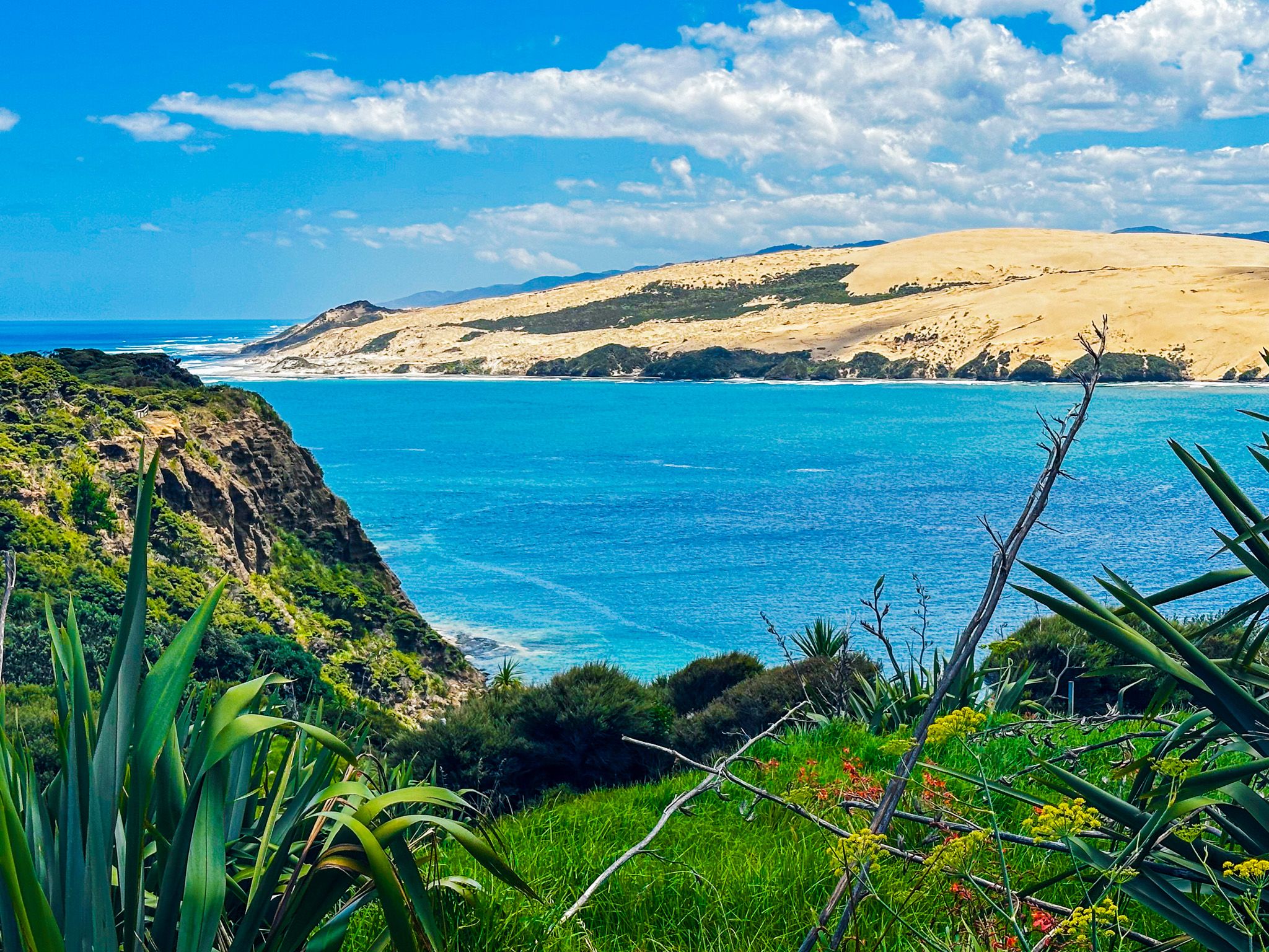
There is a lovely picnic area with great views up the harbour, but follow the track to the end of the head for the best views of the harbour entrance, the enormous northside dunes and the rugged west coast beach and rock formations to the south.
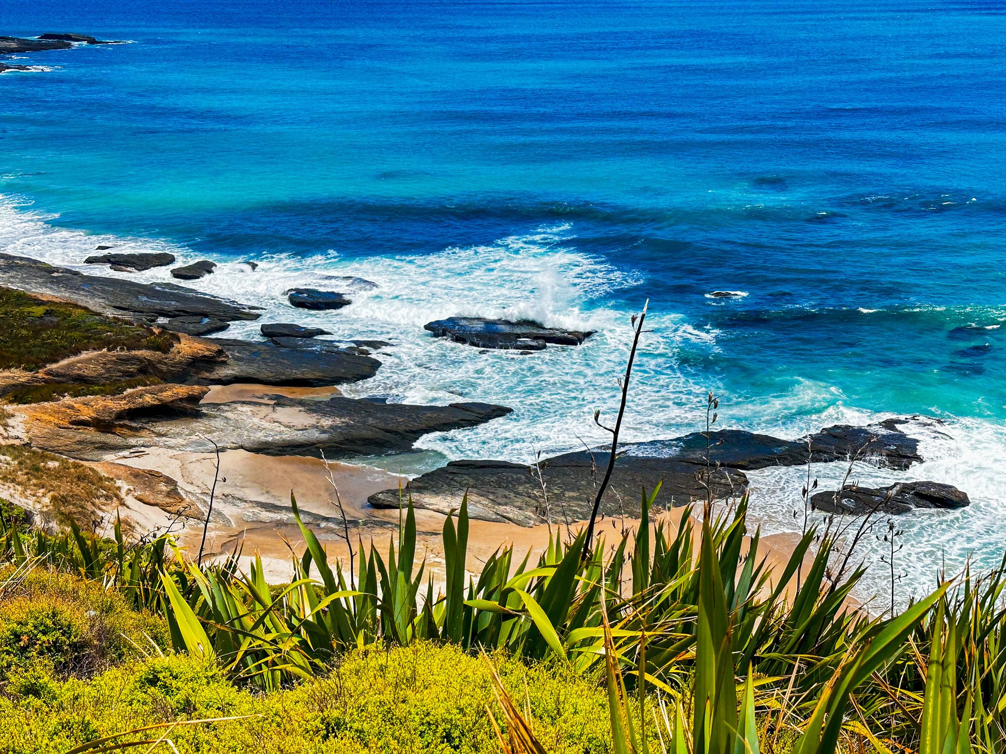
If you have the time, you can take the Waimamaku Coastal Track along the coast. It goes 10.9 km (4 hours) to remote Kaikai Beach and Waimamaku Beach Road. For a much shorter add-on, walk down to the pretty beach at Martins Bay.
The first Europeans typically gave the Hokianga headlands prosaic names. The south side of the Hokianga Harbor entrance is South Head, and the north is North Head. The Māori names, by contrast, come from a myth related to Kupe, the Polynesian who discovered Aotearoa, NZ. Kupe ordered two taniwha to protect the harbour and guide future travellers when he departed for Hawaiki. The two taniwha are Ārai-te-uru on the south side and Niua to the north.
About 900 years later, Ārai-te-uru did get a modem form of guardian, provided by John Martin and his wife Kiriora, who were granted the land by local rangatira to build a signal station. They and their family managed the station for 81 years until its closure in 1951, protecting many people who could cross the Hokianga bar safely.