
The Hillary Trail through Auckland’s Waitakere Ranges was developed some years ago to commemorate Sir Edmund Hillary by providing a multiday tramping experience through often rugged and steep terrain. The trail begins at Arataki Visitor Centre on the Scenic Drive, heads out to the coast at Huia and Whatipu, then roughly follows the cliff tops to Karekare and Piha, before heading inland to Lake Wainamu and Te Henga. From there, the final leg follows the coast again along the Te Henga Walkway to Muriwai. The total distance is 74kms and the trail was typically done campground to campground over 4 to 5 days.
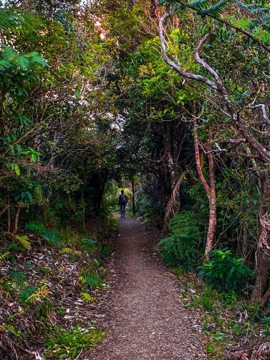
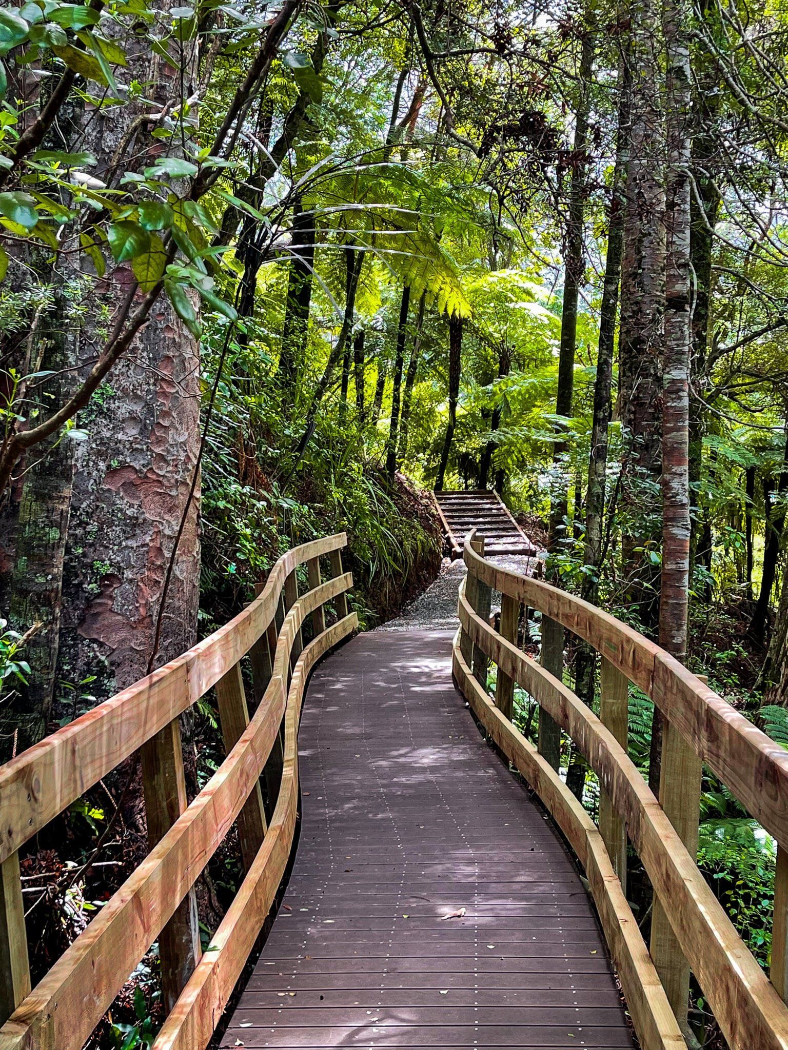
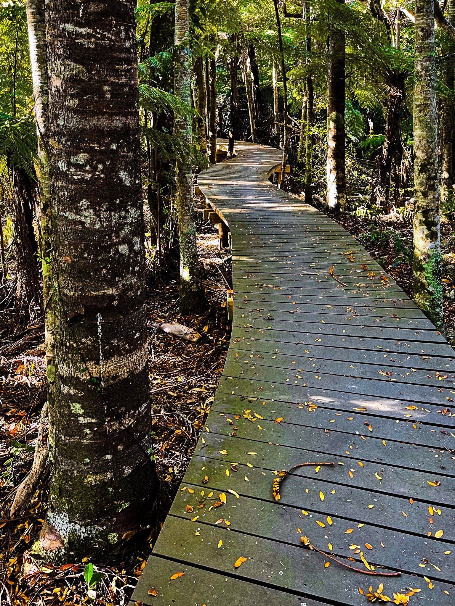
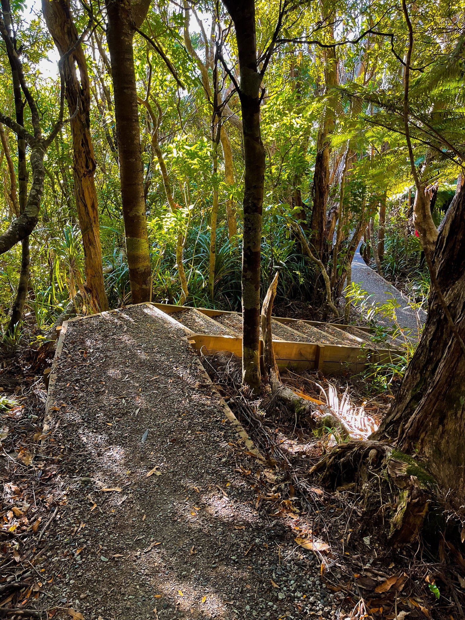
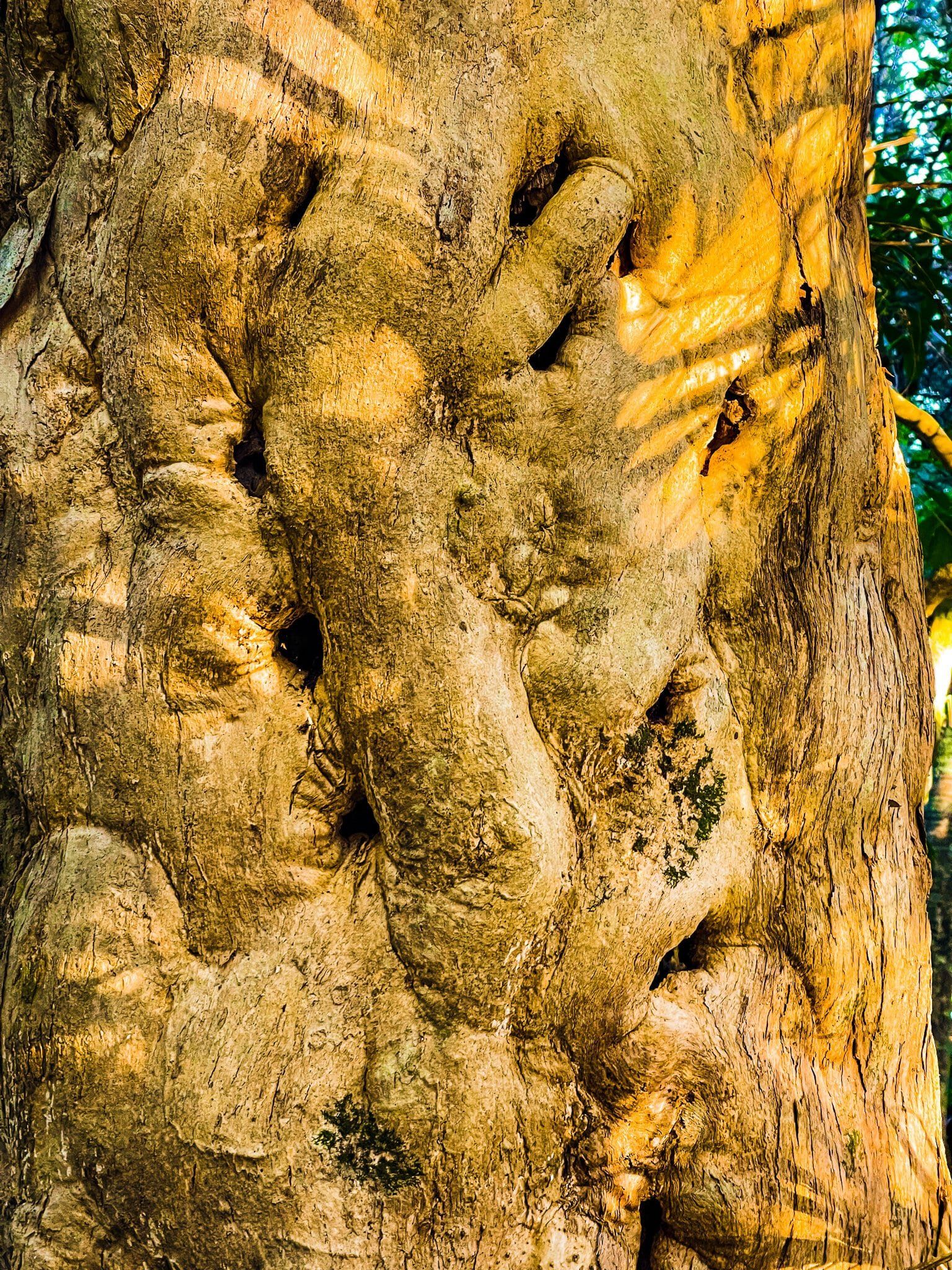
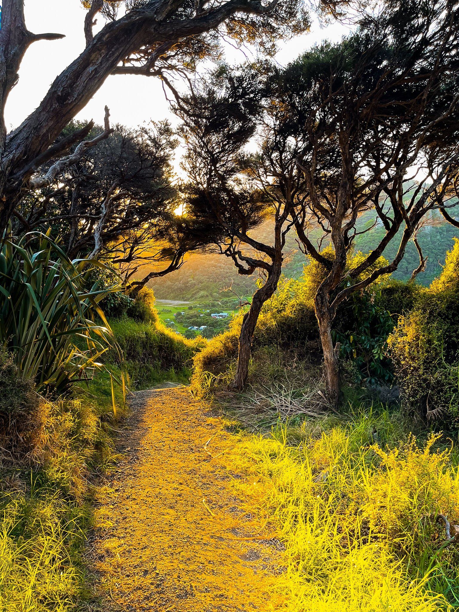
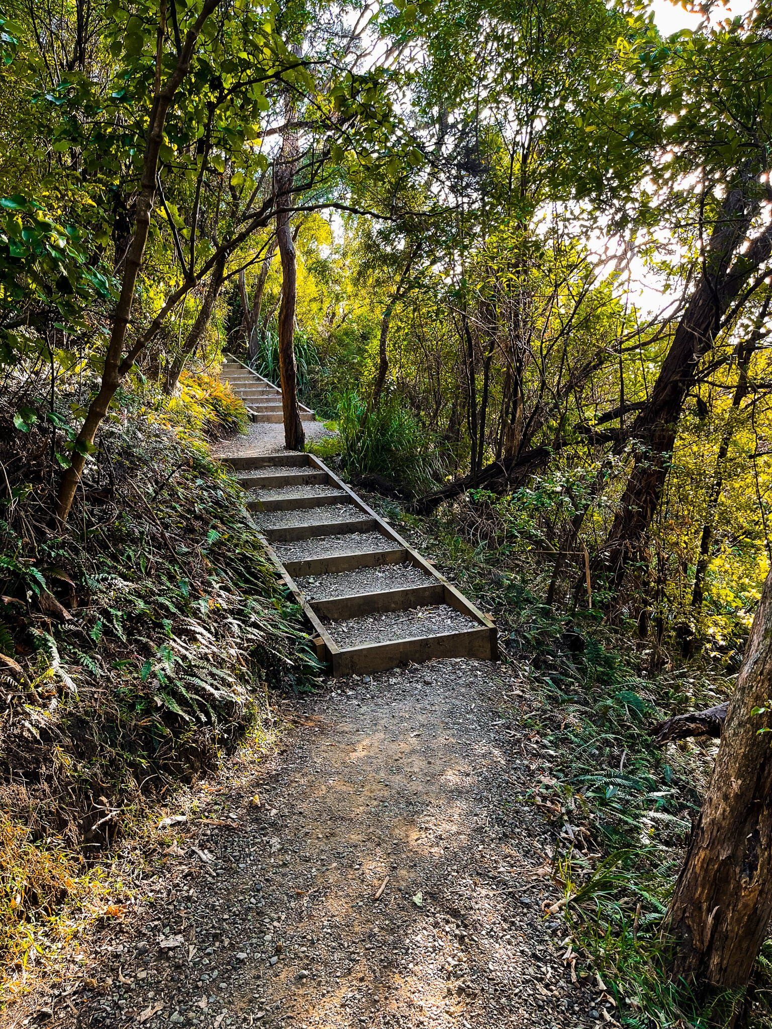
This track was spectcaular from day one, with waterfalls, beaches, clifftop views and regenerating native forest. Unfortunately, kauri dieback disease resulted in most of it being closed for several years. However, it has recently been considerably upgraded from an often pretty tough tramping track to an easier gravelled path to protect the kauri trees. It is also now officially Te Ara Tūhura, as well as its English name.
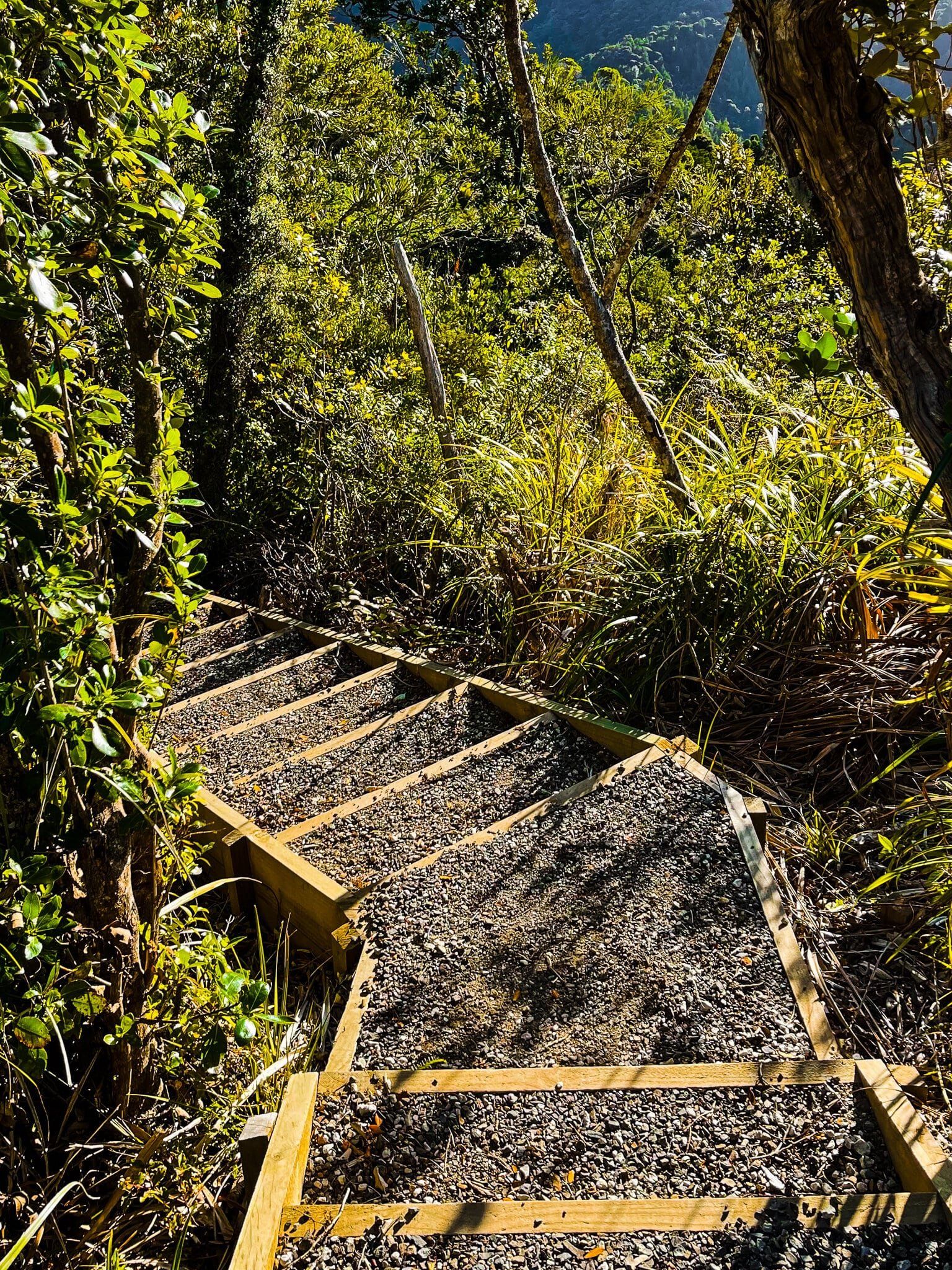
Although the upgrade has reduced the sense of challenge (and the mud), there are still numerous steep undulations, often with many steps. In addition, it is more accessible for many people. At present, the longest open section is from Huia to Piha. But you can also easily divide it up into several accessible sections, rather than committing to it in one go. In this blog, we focus on Huia to Karekare, which you would normally do with an overnight stop in Whatipu or one of the two campsites between Whatipu and Karekare.
Karamatura Track and Don McLean Track
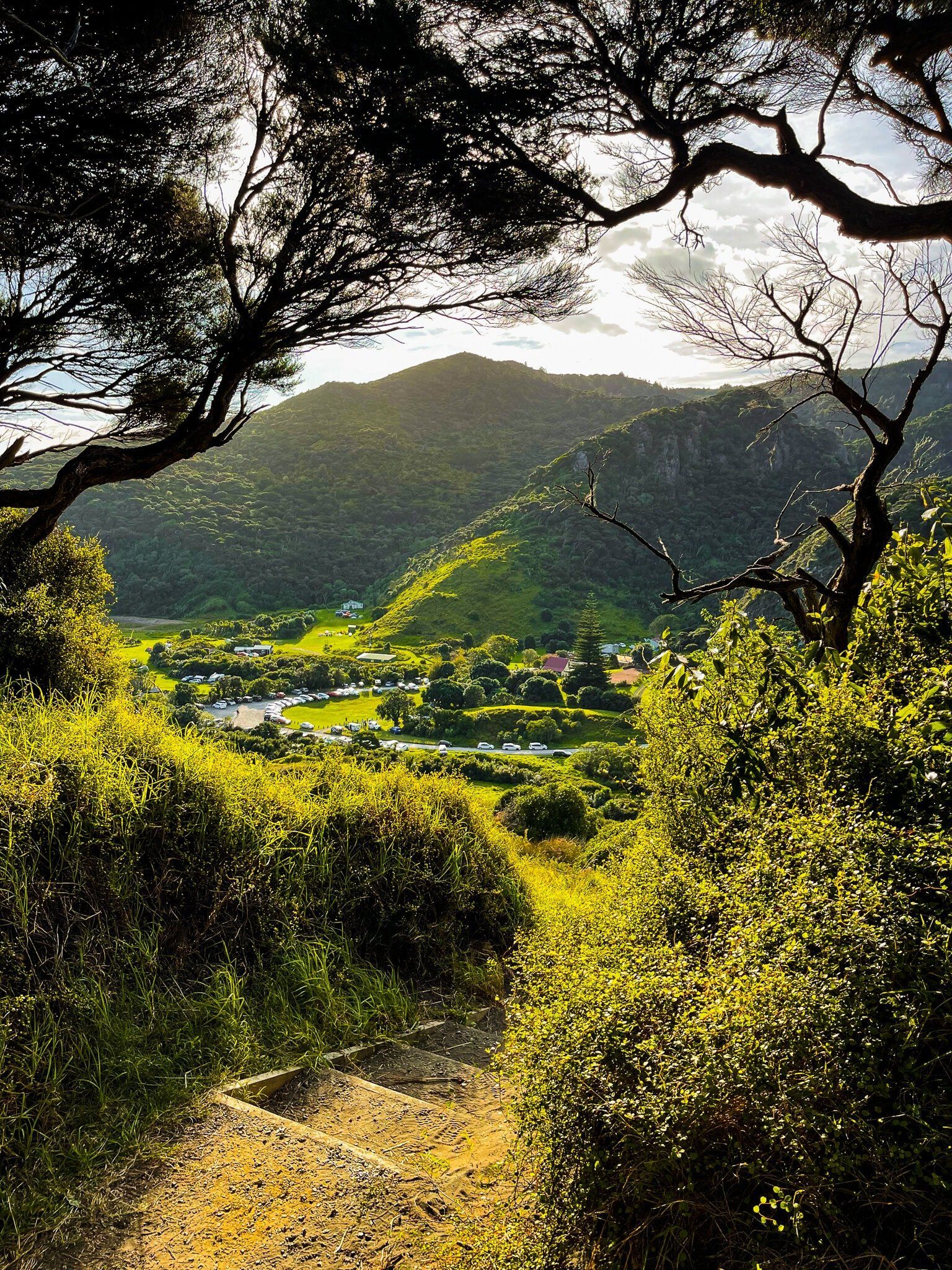
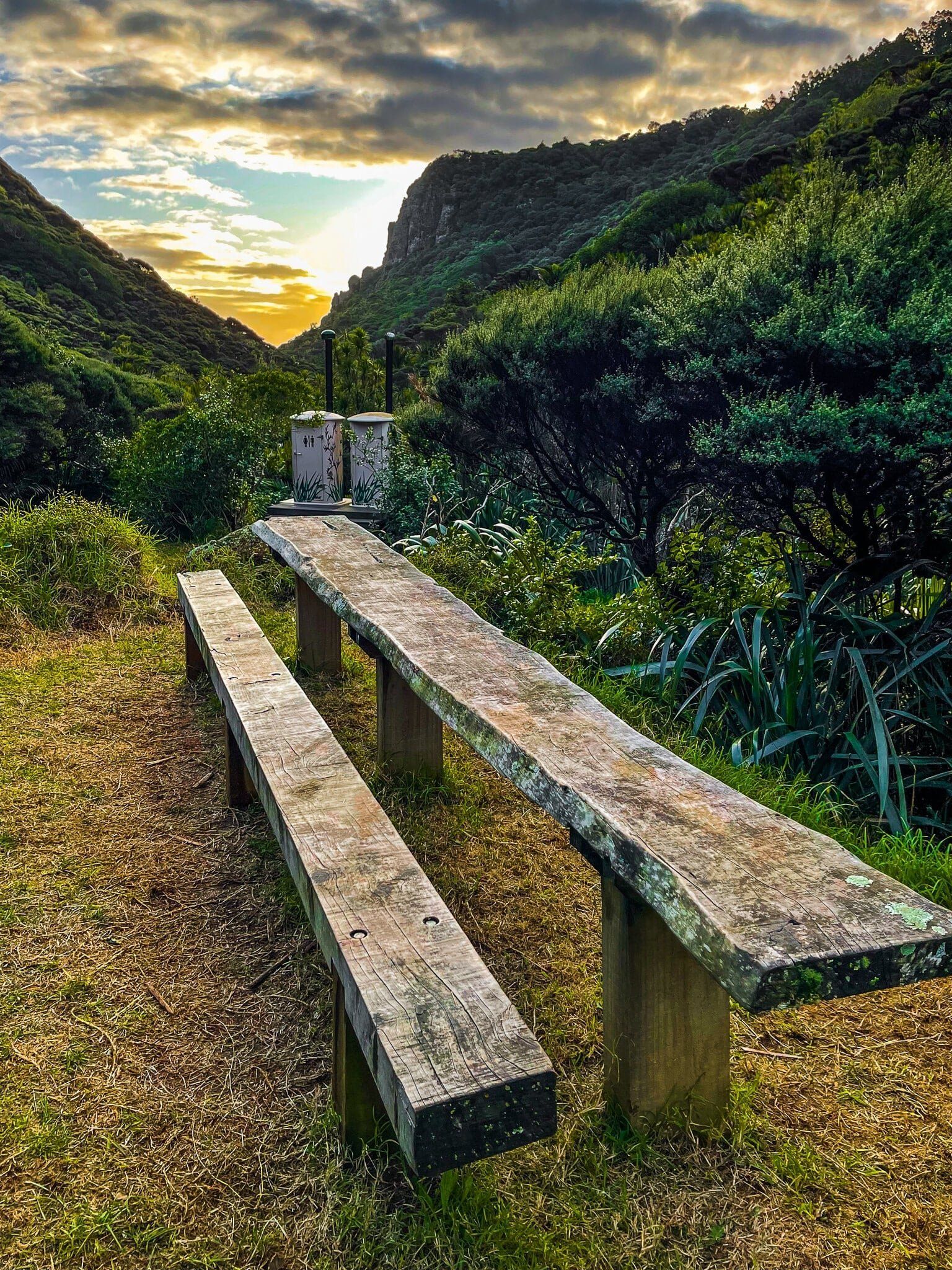
The Karamatura Track, with access from the road between Huia and Little Huia, is the start of Te Ara Tūhura at present. There is camping on the far side of the stream not far beyond the entrance and car park.
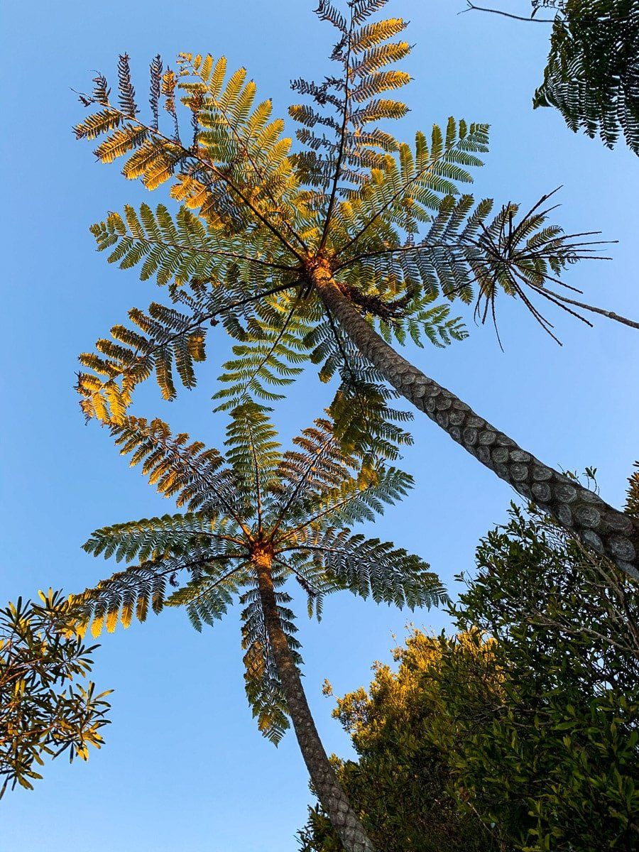
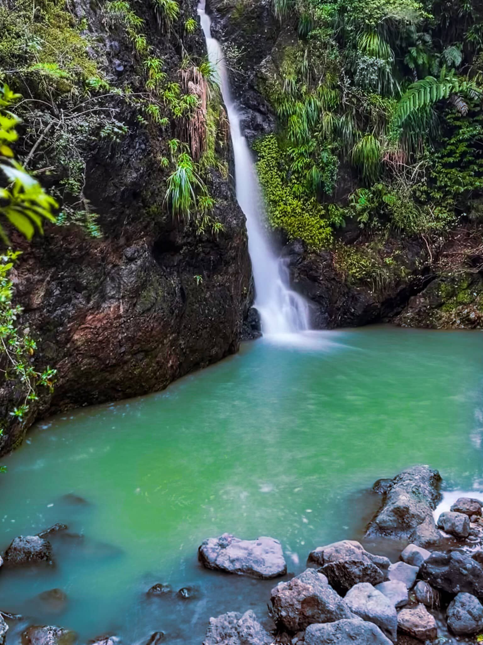
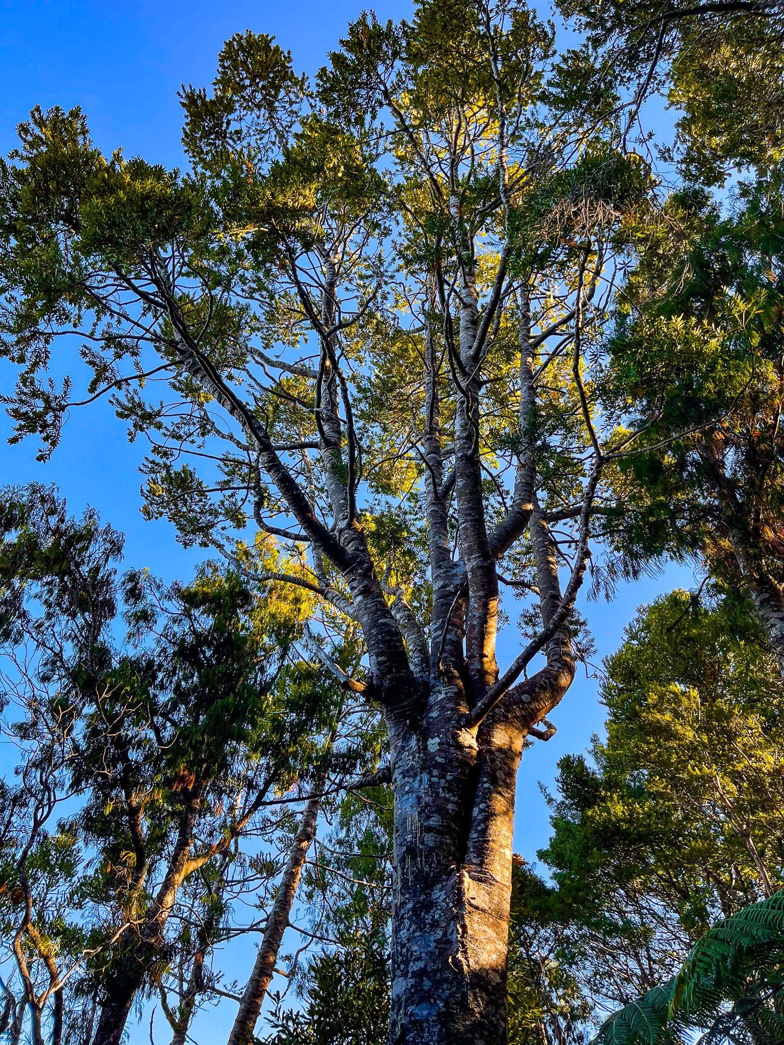
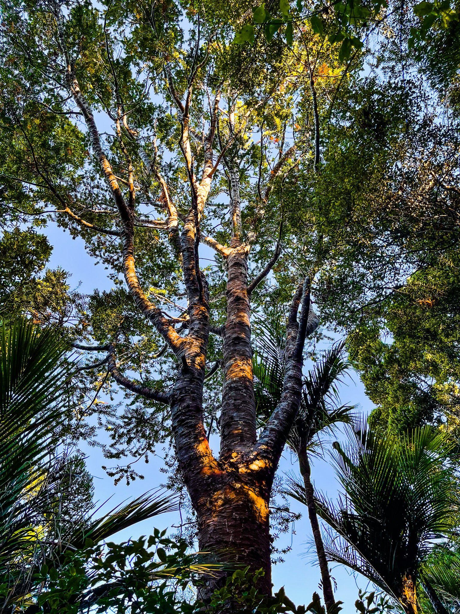
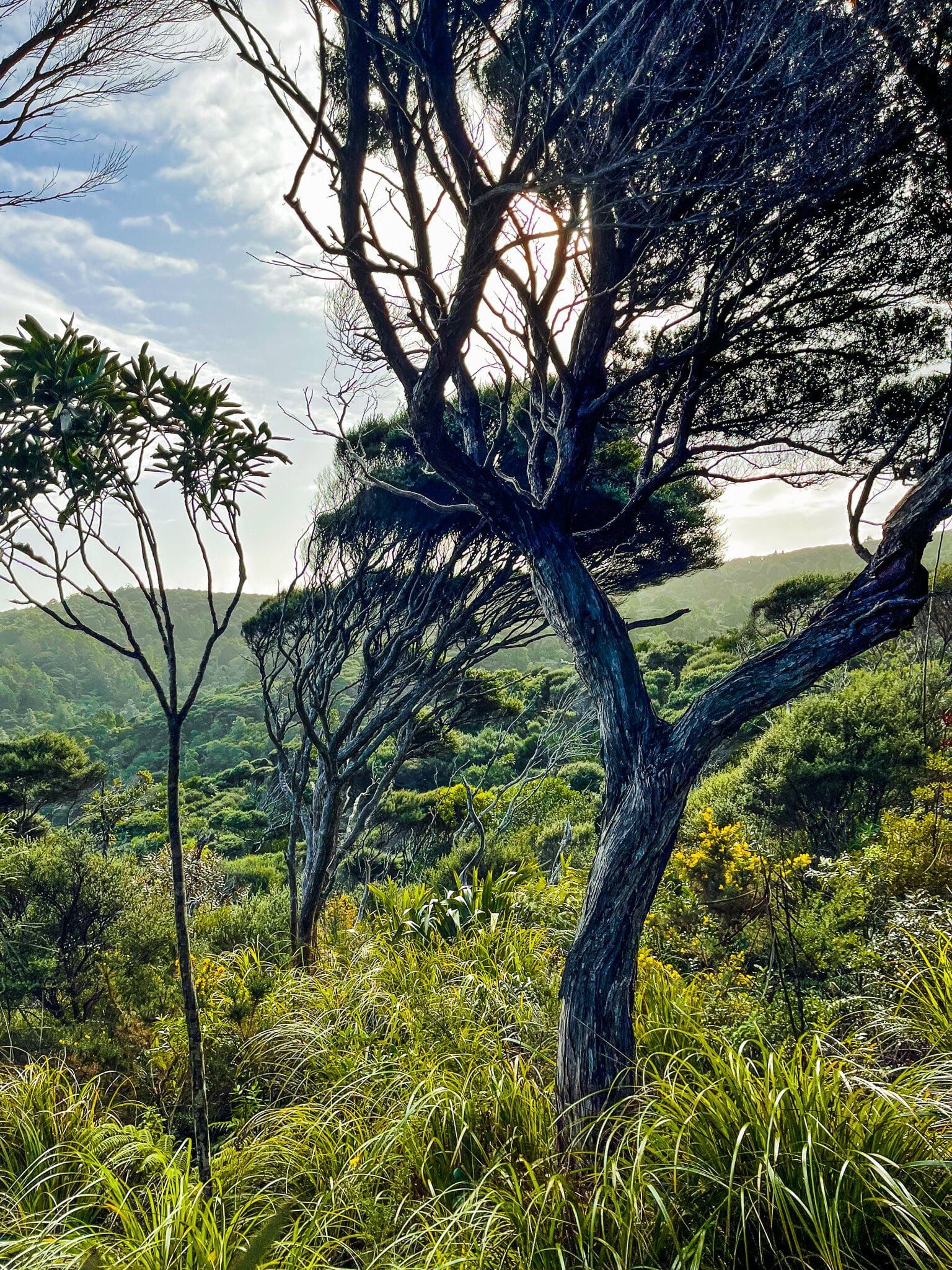
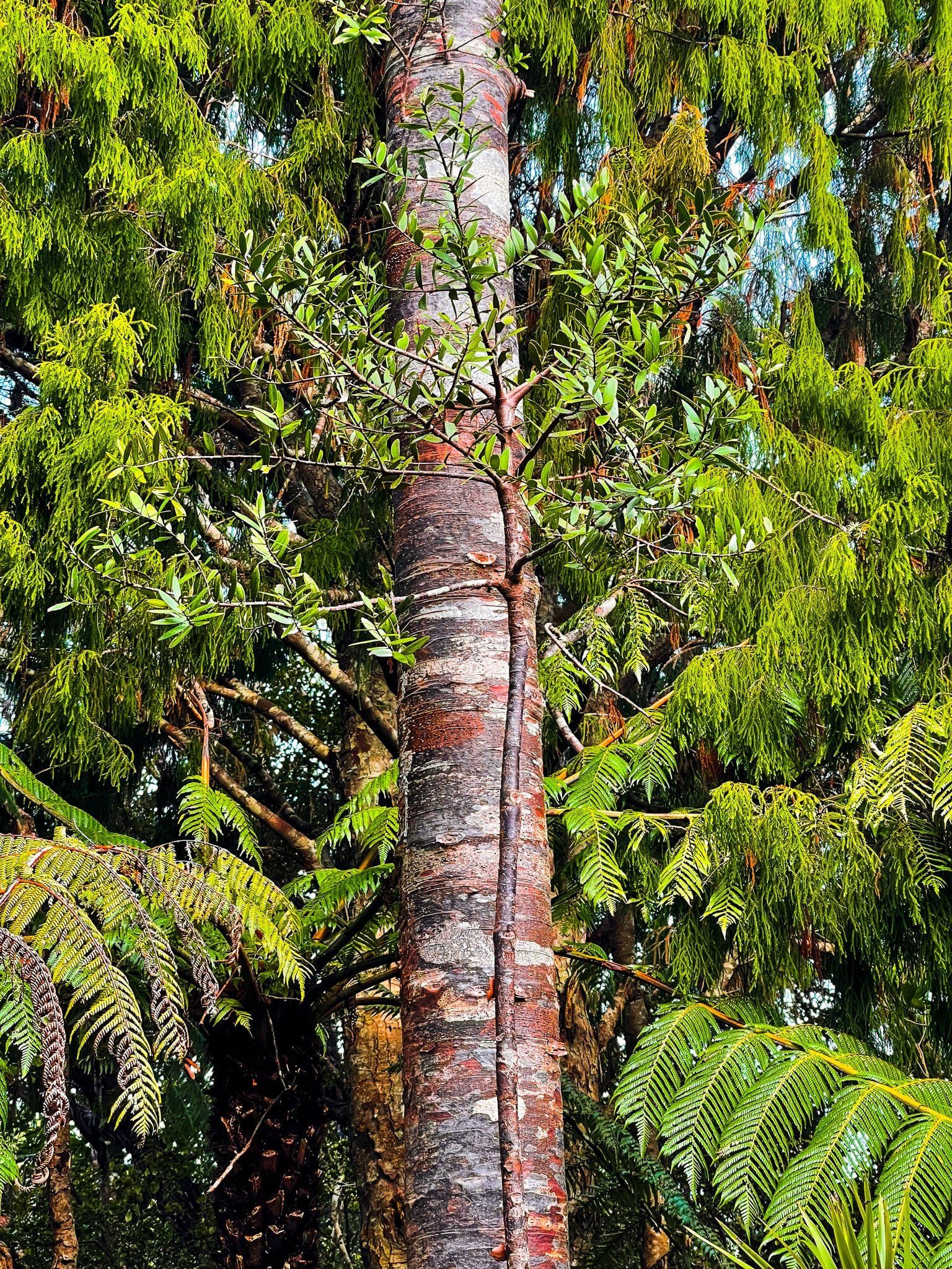
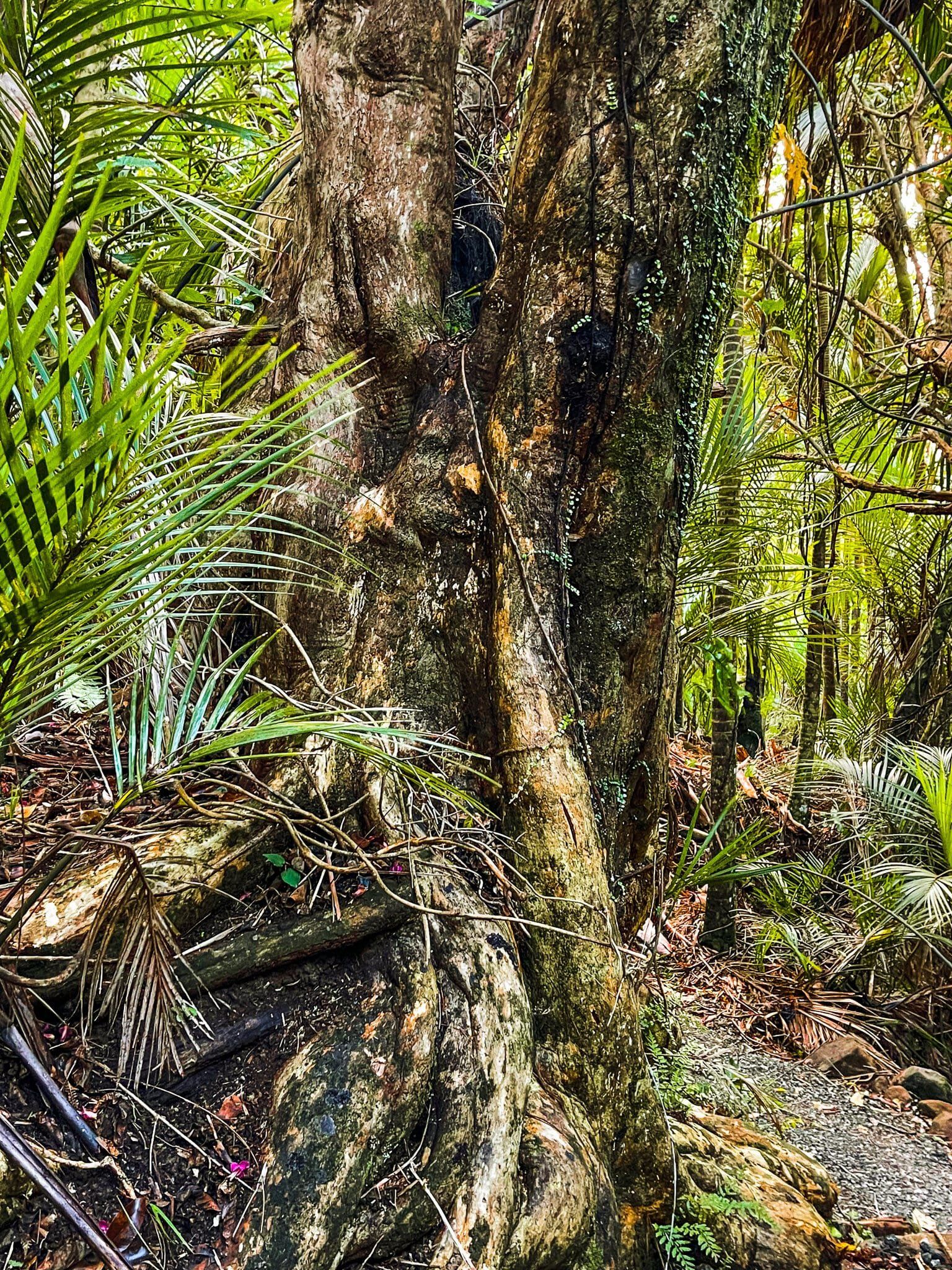
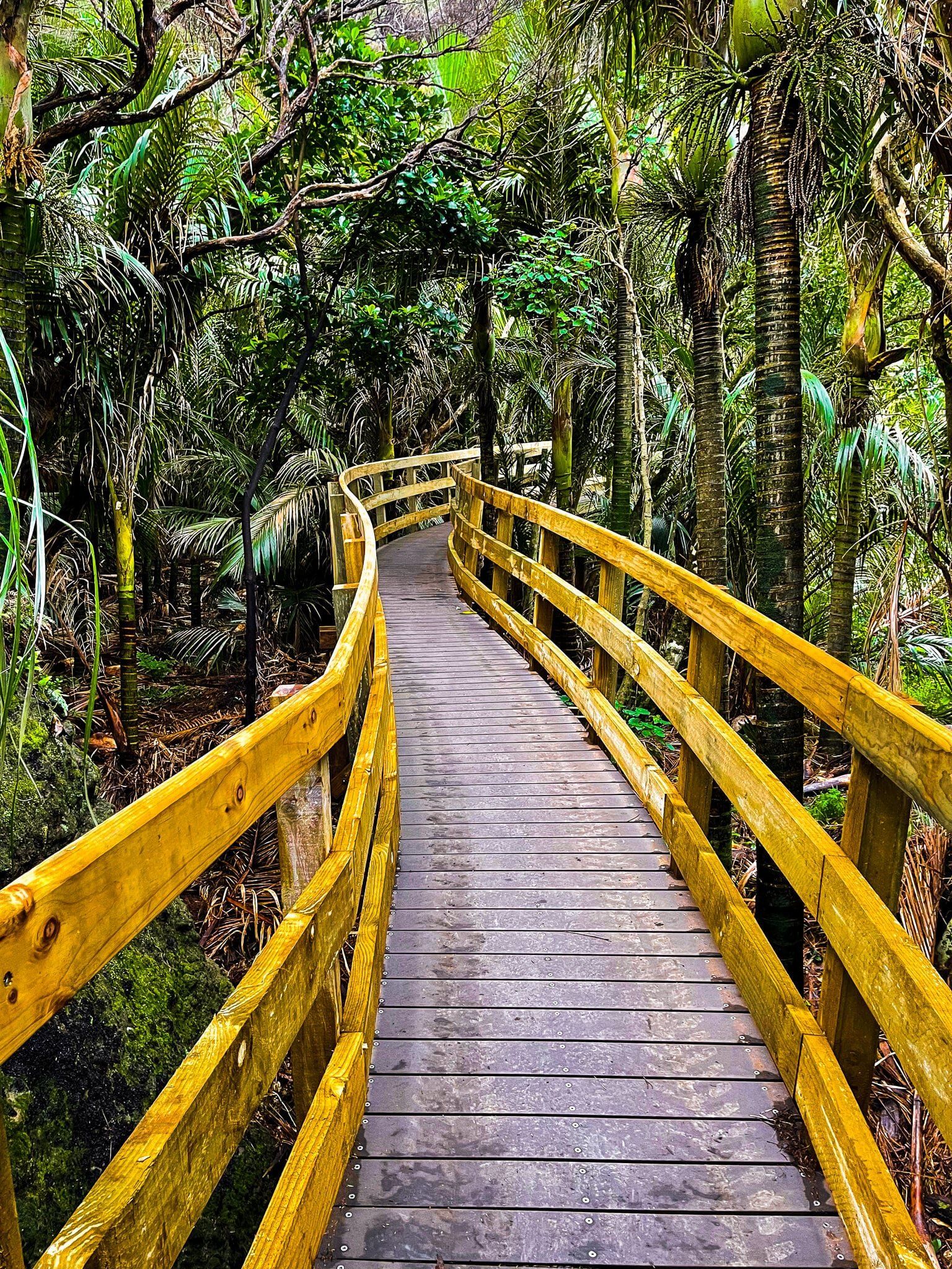
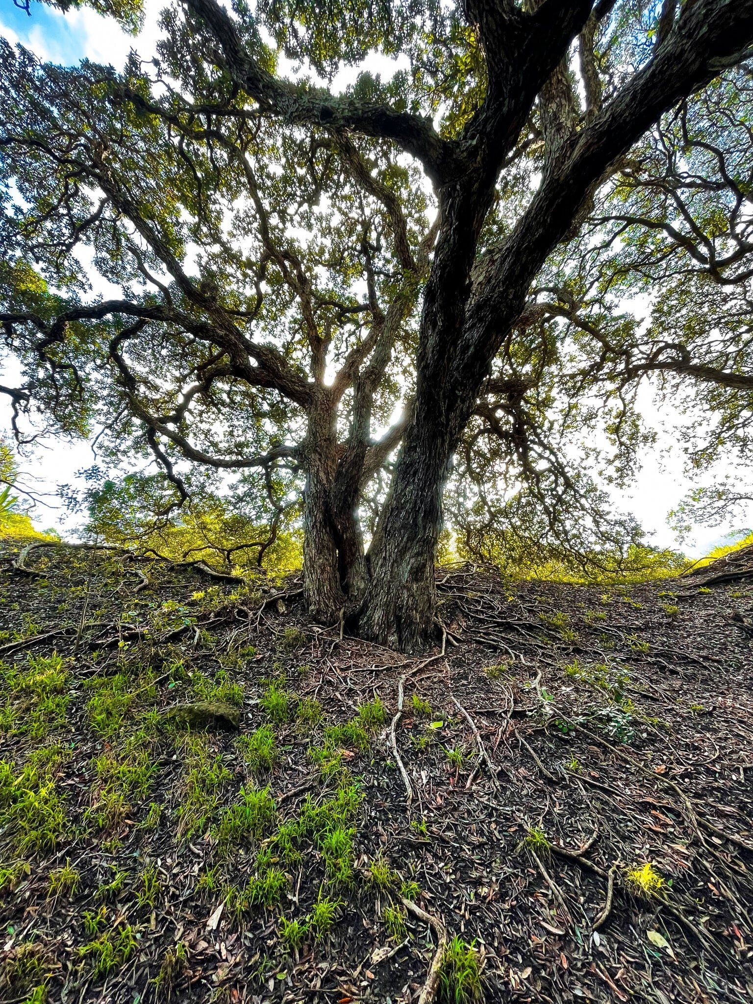
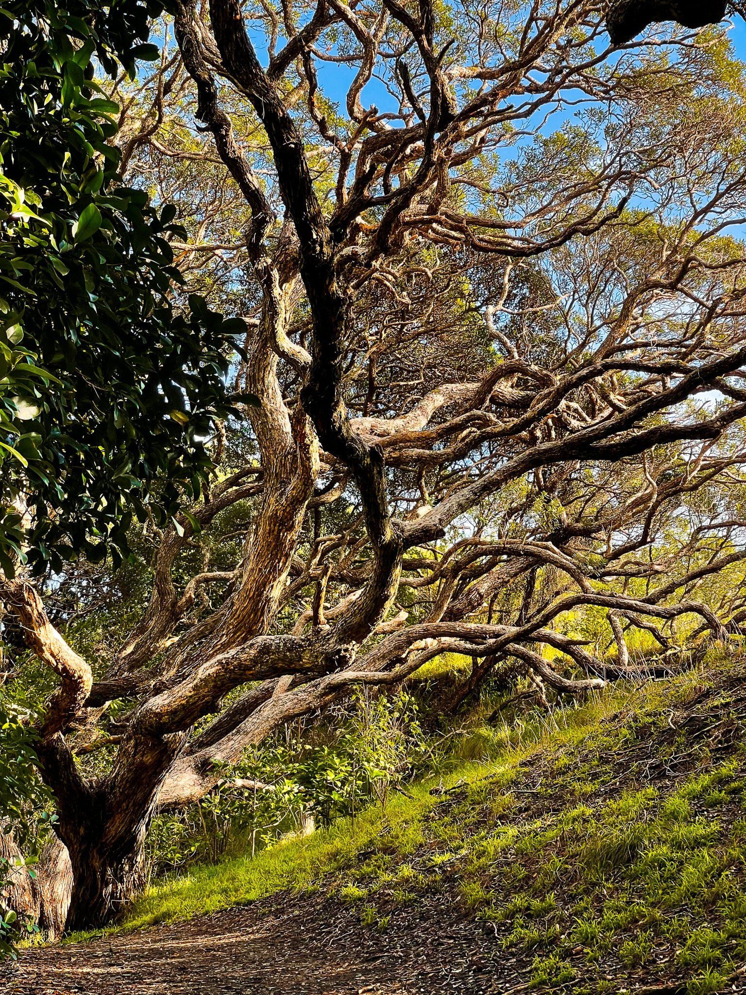
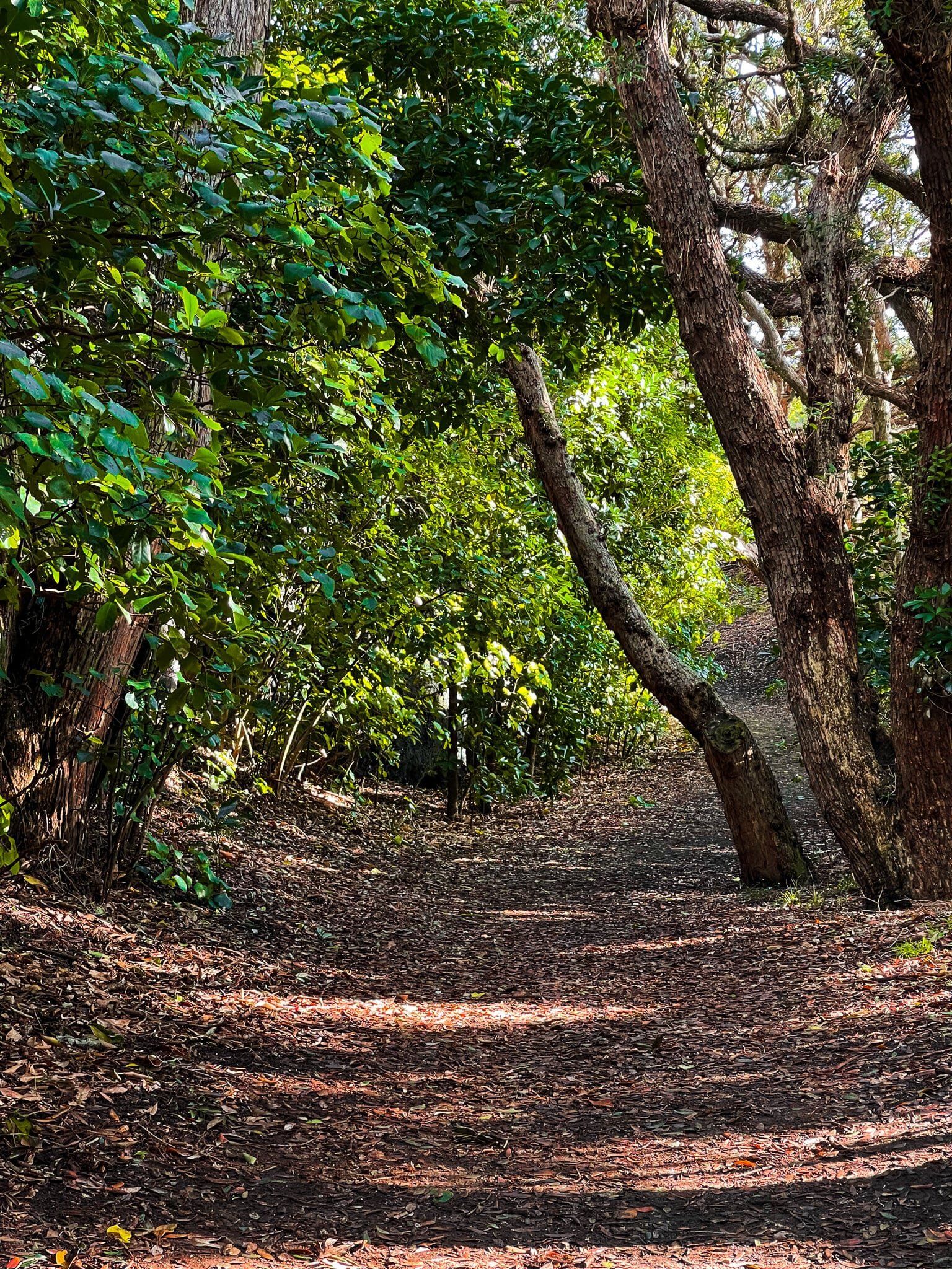
These are superb walking tracks. At the outset, you can either walk along an old forest tramway path above the Karamatura Stream, or take a higher path through a section of recovering kauri forest. Either way, continue a short distance to a couple of waterfalls, beyond the point where the track heads up the side of the gully. Then reverse back to the main track and start the steep climb up with many steps.
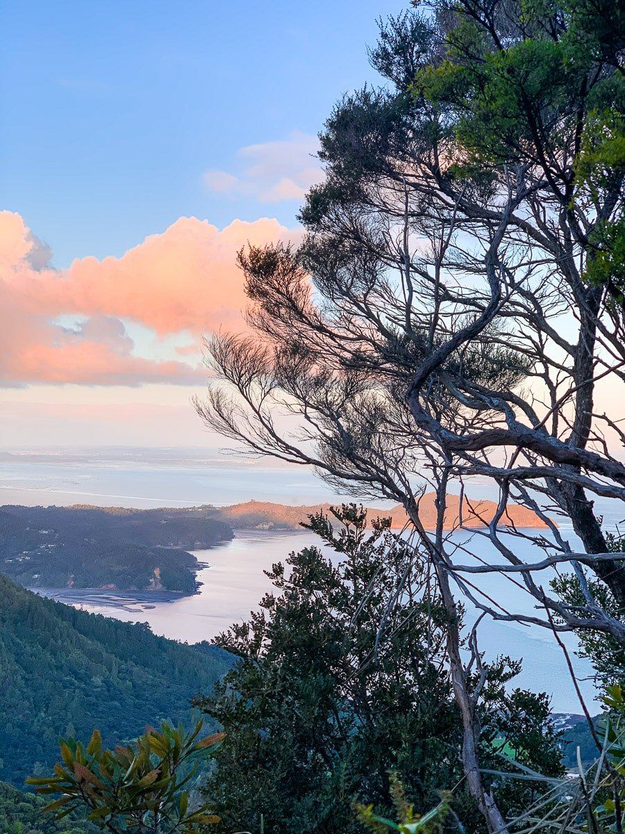
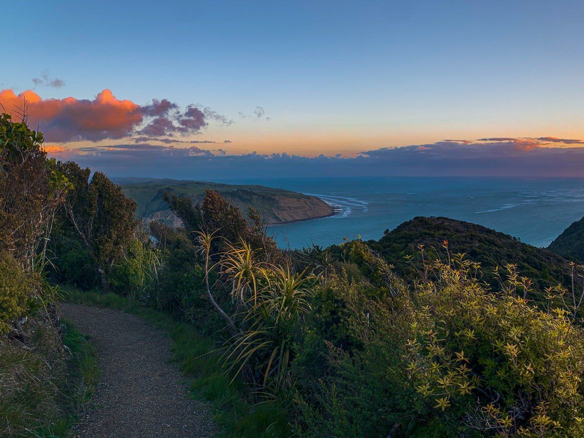
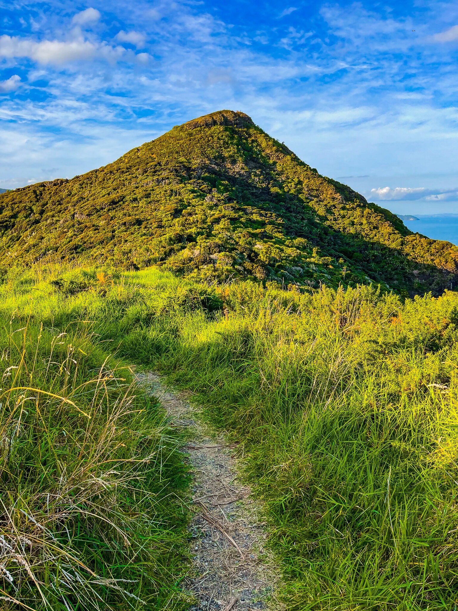
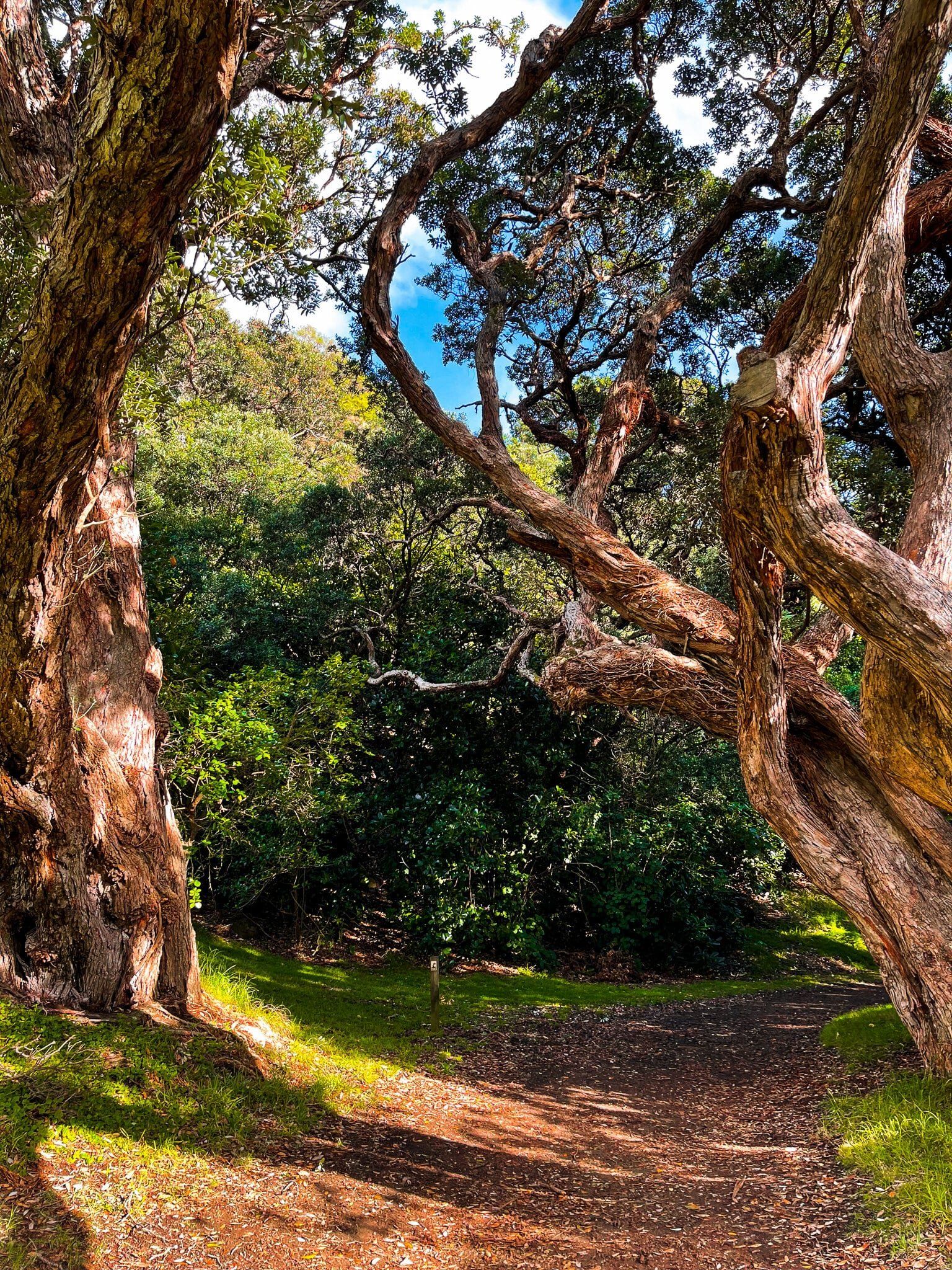
It’s about a 250 metre climb and the first 100 metres is especially steep. But the forest is beautiful and once near the top there is a gently undulating section with several board walks through to the intersection of the Karamatura Track and the Don McLean Track. The Don McLean Track section is also relatively gentle as it follows the ridge line to the carpark just below the peak of Te Rau o te Huia Mt Don McLean. You can take the short 15 minute walk to the top of the mount (389 metres high), with fantastic views out to Whatipu, or continue on the Puriri Track to connect with the extraordinary Omanawanui Track on the south side of Whatipu Road.
Puriri Track
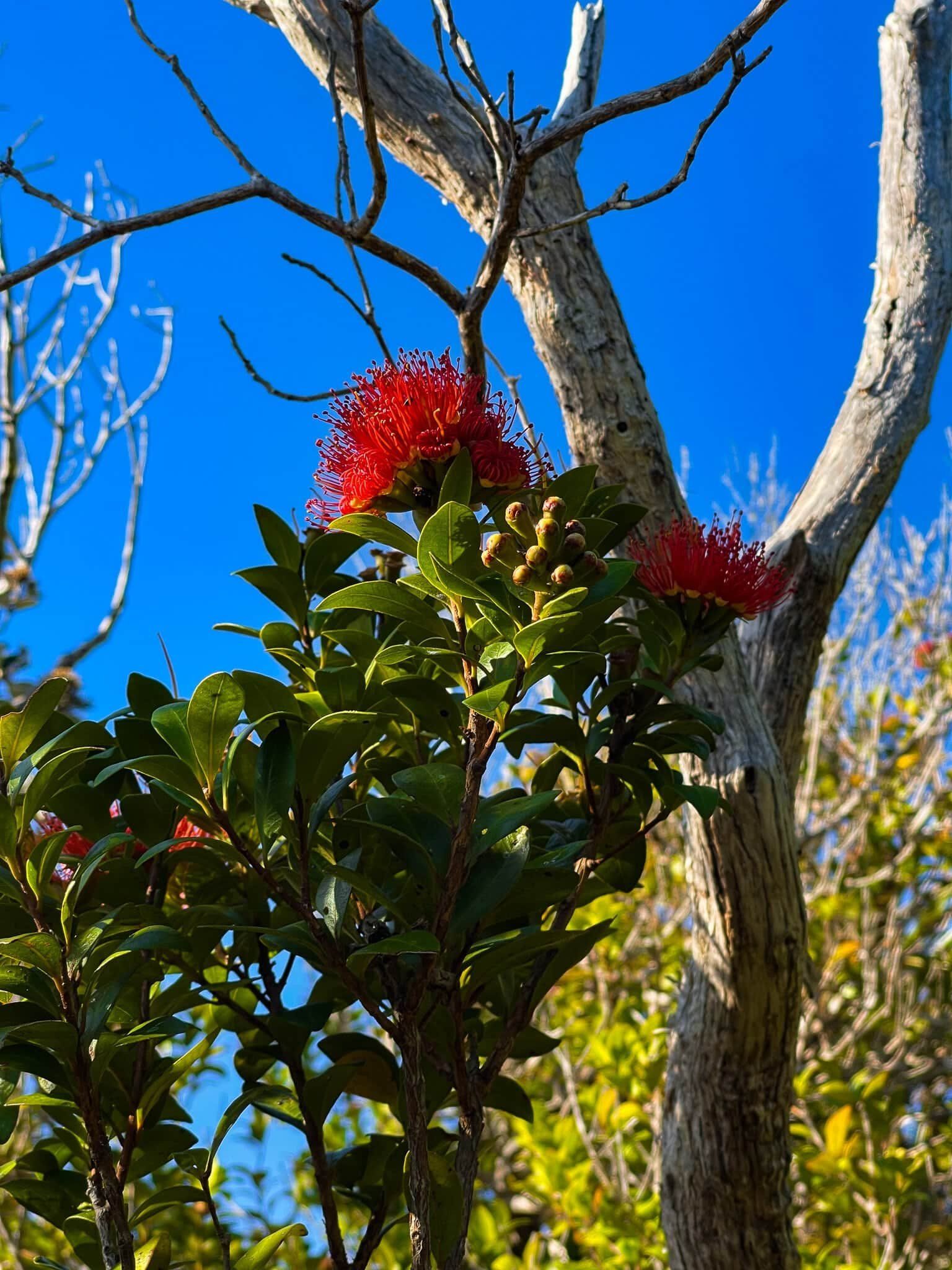
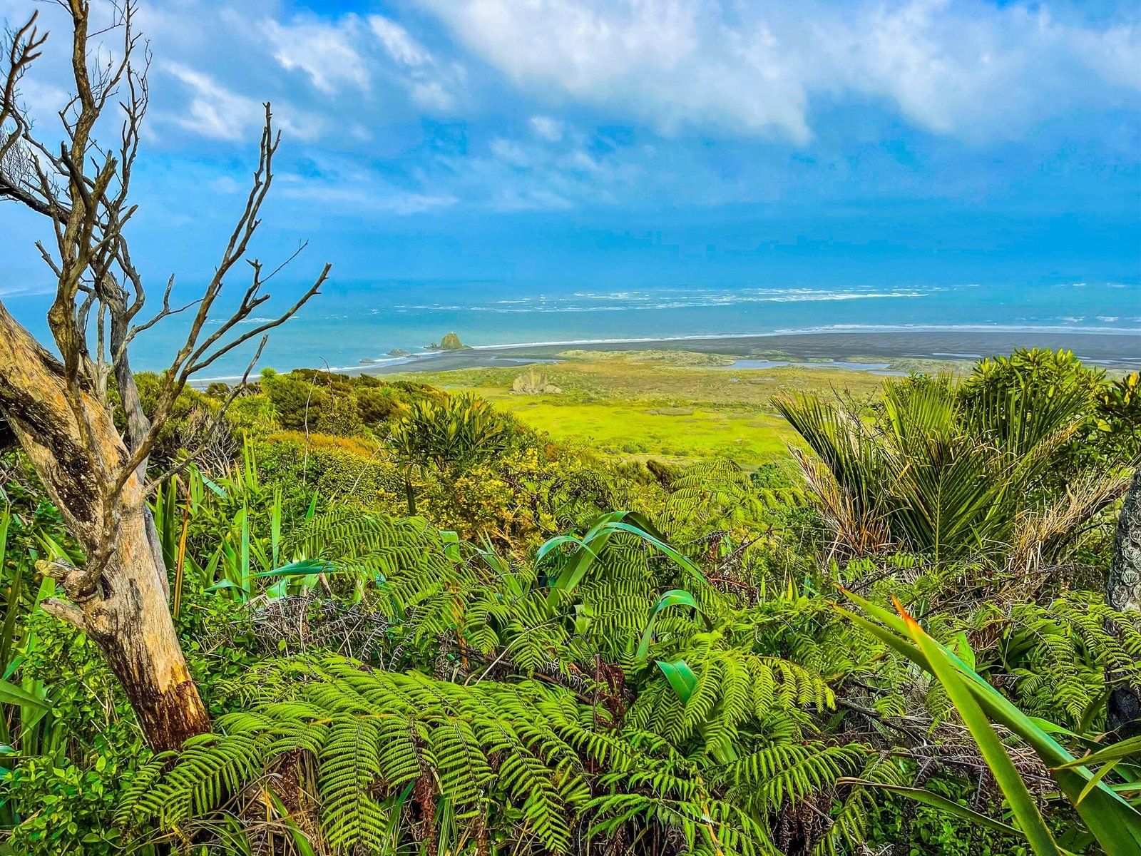
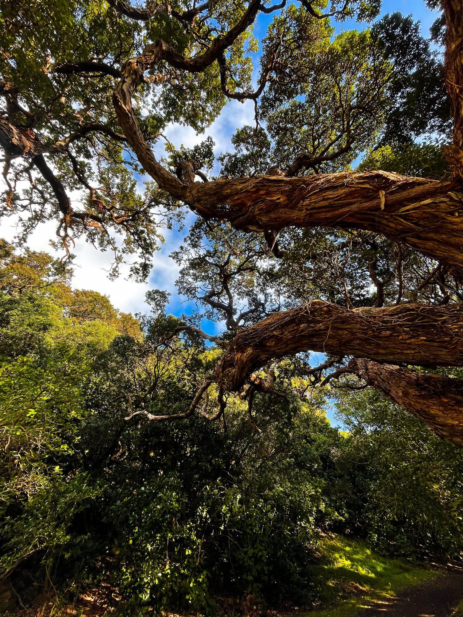
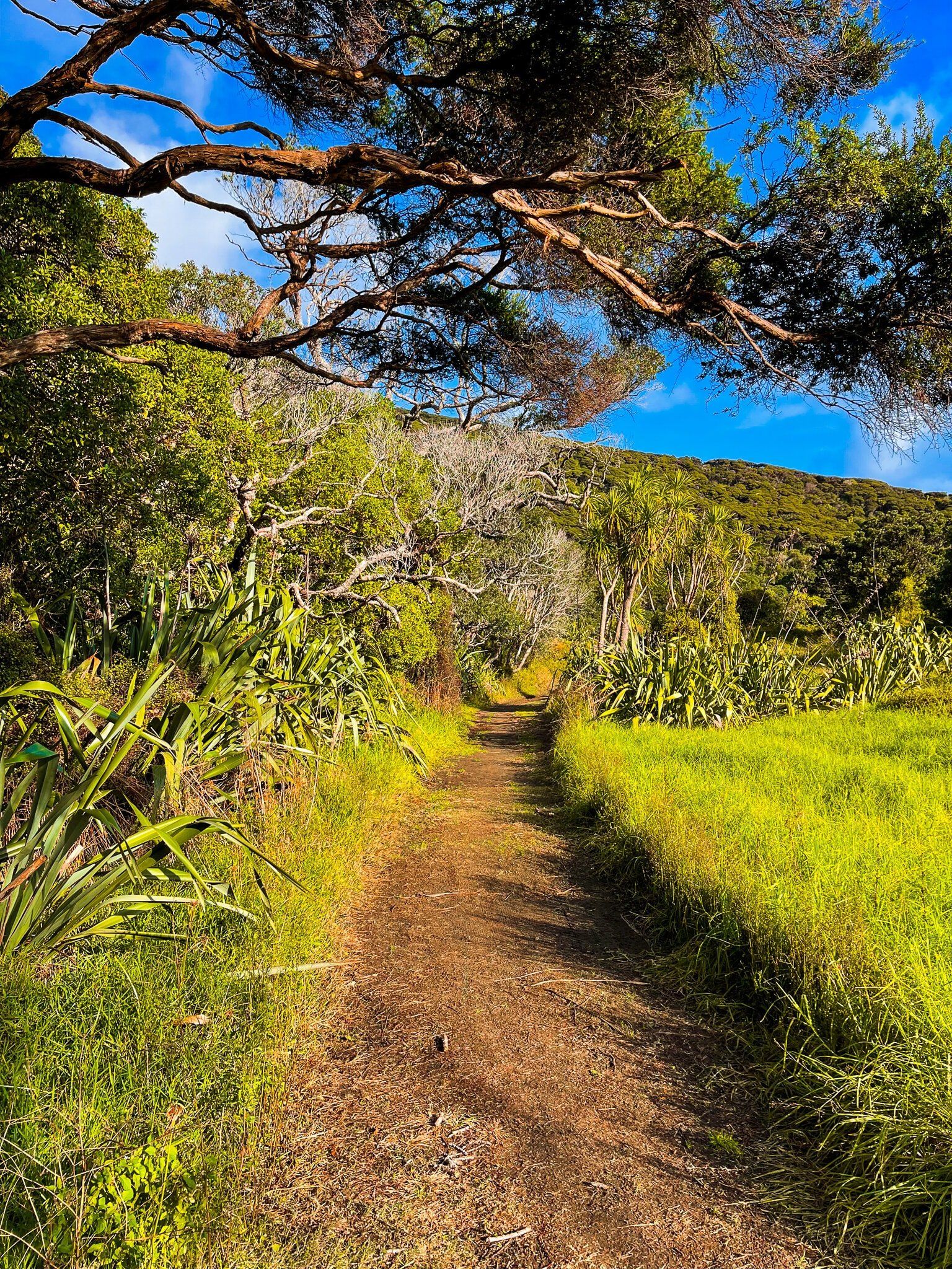
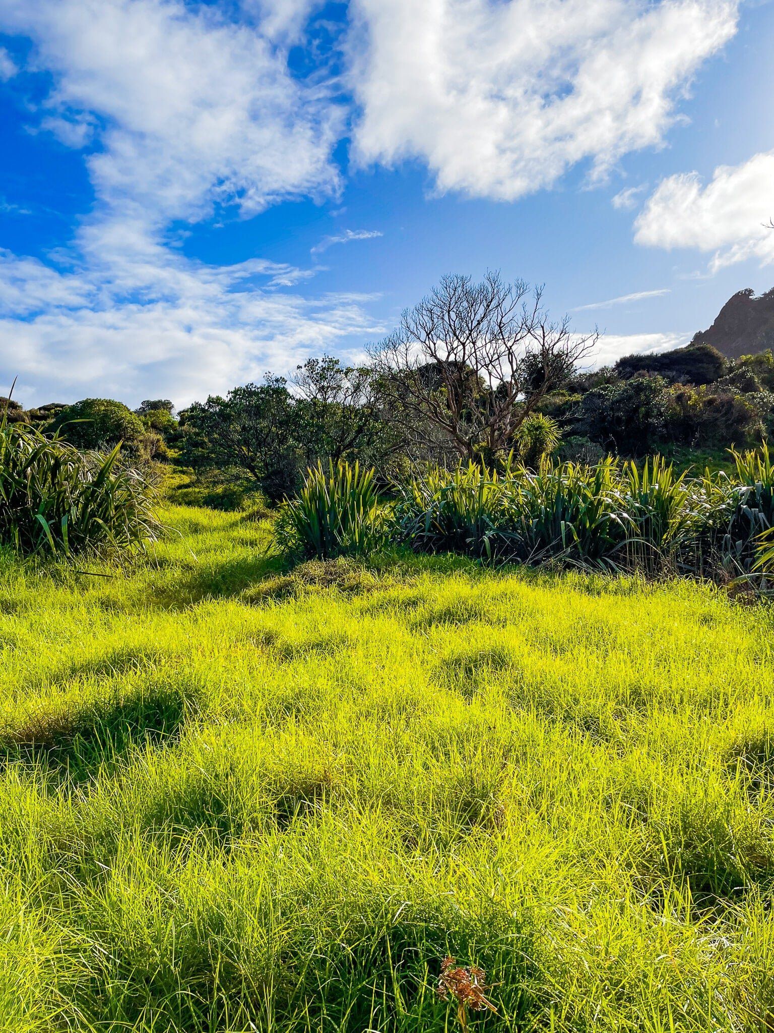
The Puriri Track starts out feeling like little more than a necessary connection between Te Rau o te Huia Mt Don McLean and the spectacular Omanawanui Track. But after a flat section through forest regrowth, there is a local peak and then a short sharp drop through an open section of ancient volcanic rock with an excellent view down the Whatipu valley towards the beach. On the day, rātā were flowering around this section of the track as an added bonus.
After the drop, the track re-enters another pretty section of the forest, but with many steps down to Whatipu Road. Allow about 40 minutes to walk the track from Mt Don McLean to the road, with Omanawanui Track starting immediately on the opposite side.
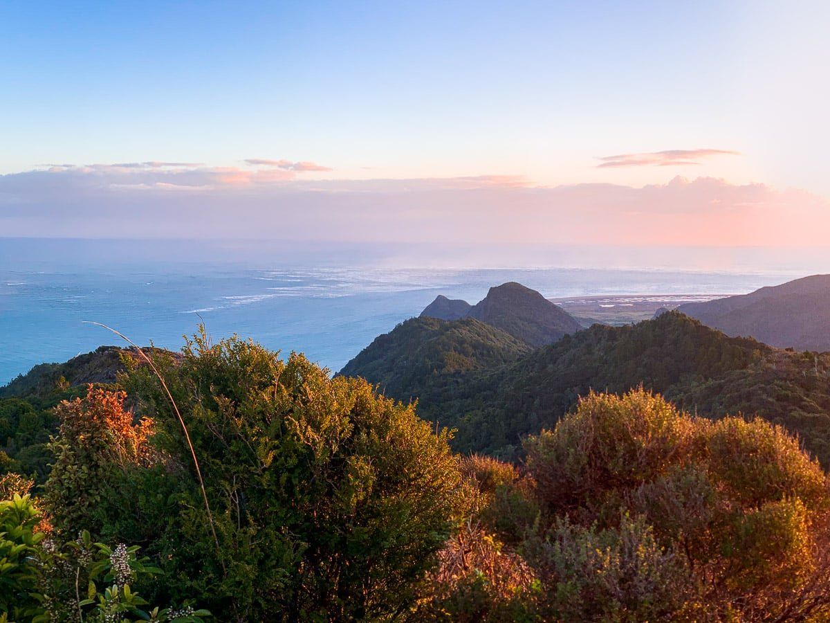
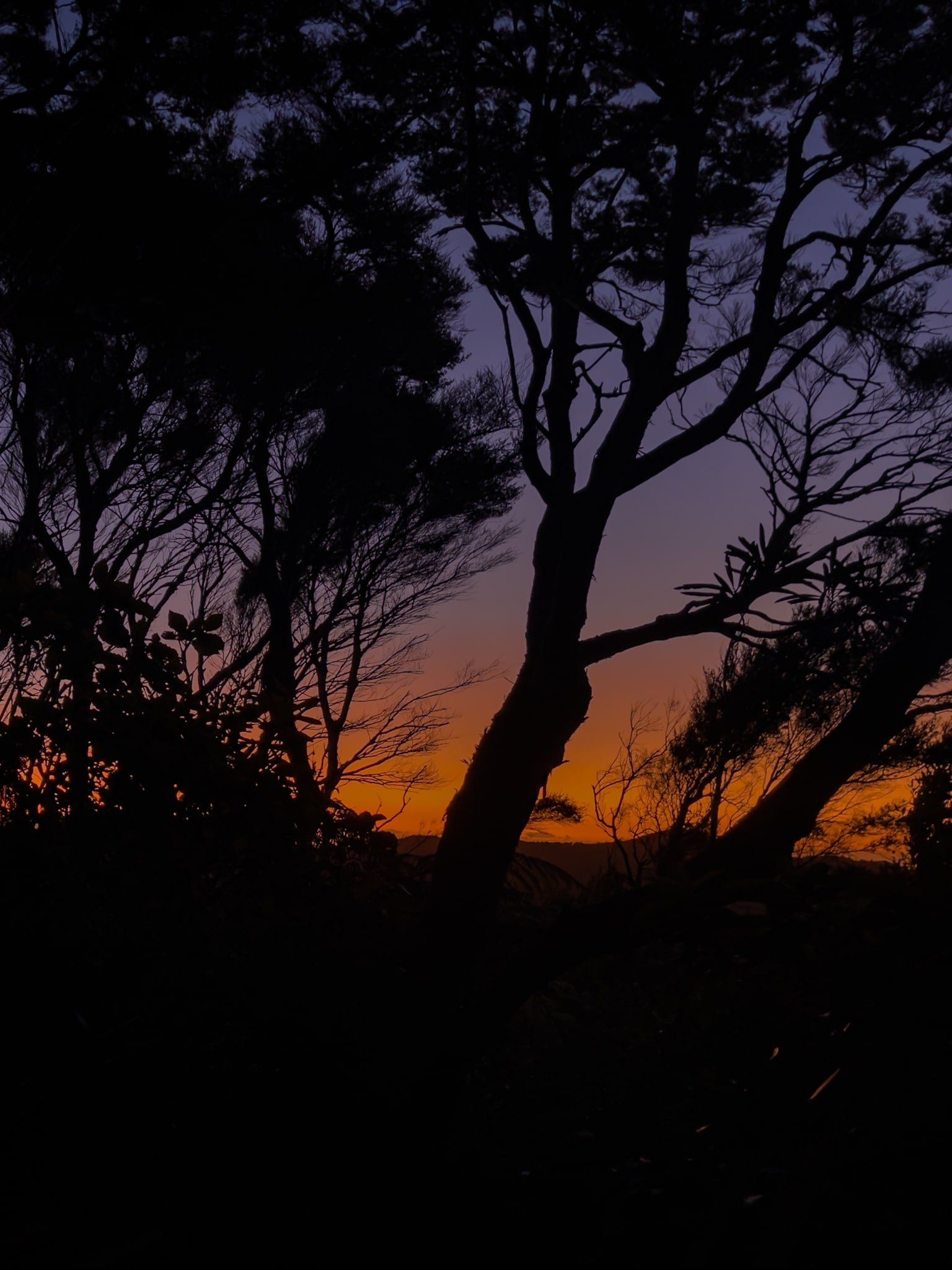
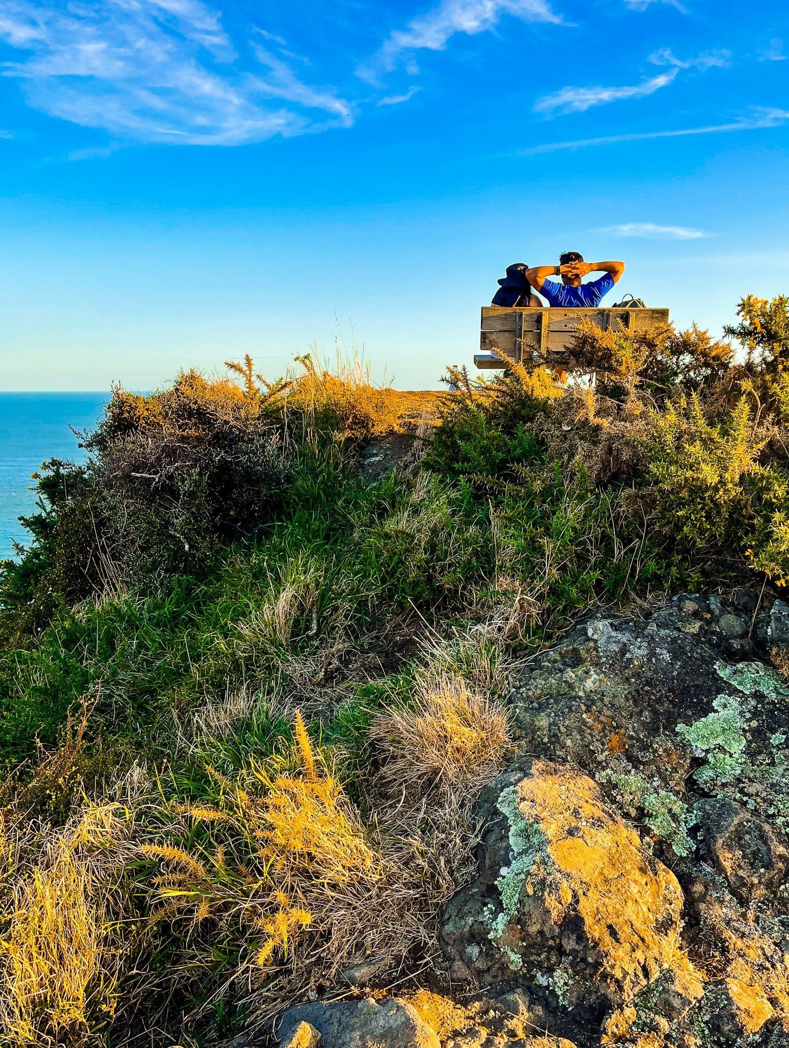
As you can see from the photos, the drop is a good spot for capturing sunsets, and it’s an easy return walk from the Te Rau o te Huia Mt Don McLean carpark as a shorter option.

Omanawanui Part 1
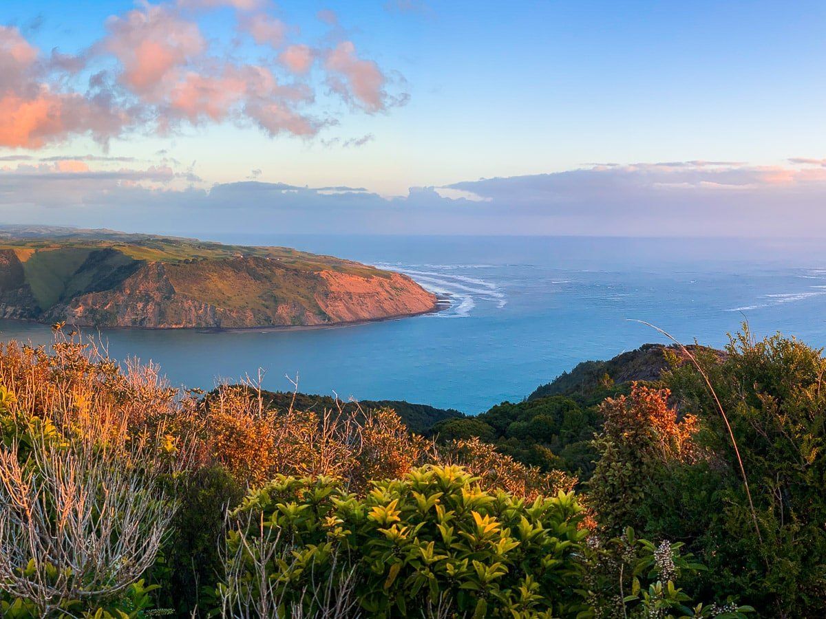
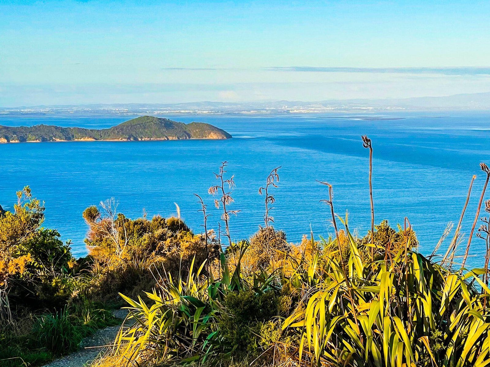
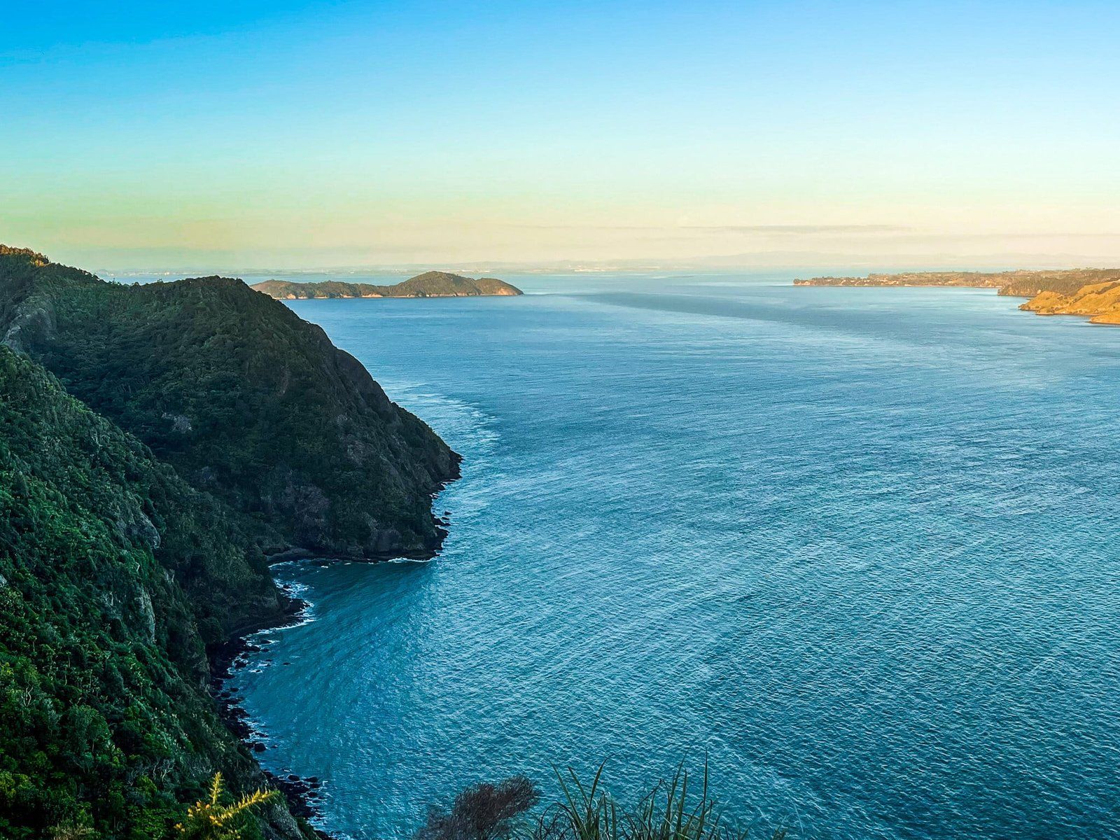
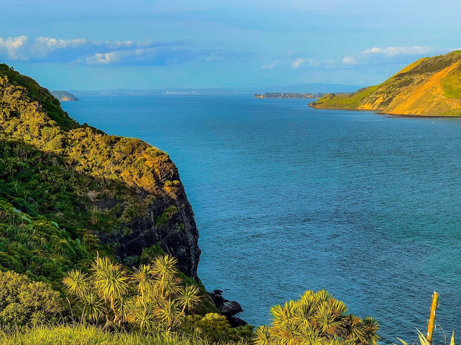
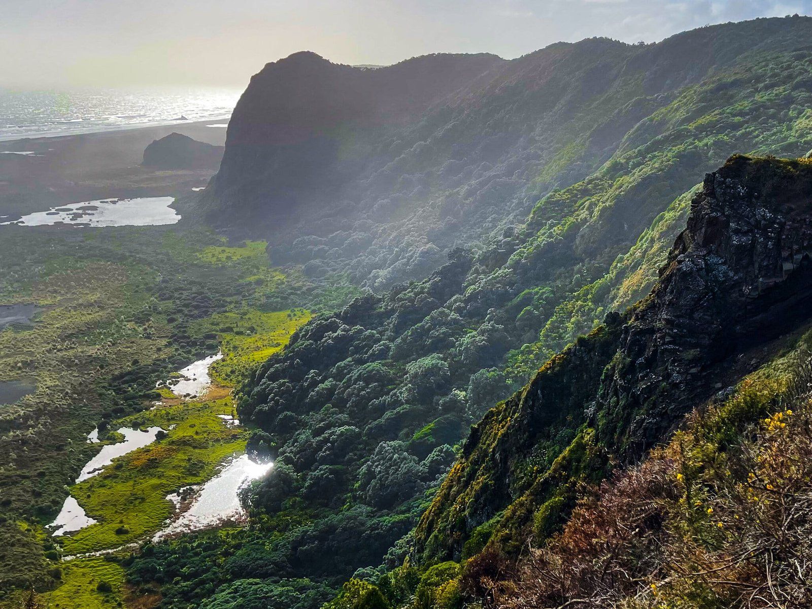
Omanawanui, a section of Te Ara Tūhura, is on the north side of the Manukau Harbour entrance. It is one of the best coastal walks in New Zealand, initially taking in a kauri forest, followed by a more open, sometimes exposed track with many steps, over two steep peaks (ancient volcano cores) and along the edge of the cliff above the harbour. After the second highpoint, at the start of the harbour entrance, it drops down to the main Whatipu carpark. There is a large camping ground, plus beach access from this carpark, so it is an excellent overnight stay option on the Te Ara Tūhura.
In addition to walking it as part of Te Ara Tūhura, with access from the Puriri track on Whatipu Rd, you can walk it stand alone from Whatipu Road – only about 4 to 5 car parks in two locations with immediate access to the track. Allow about 3 to 4 hours for a return trip on the entire track, depending on how distracted you get.
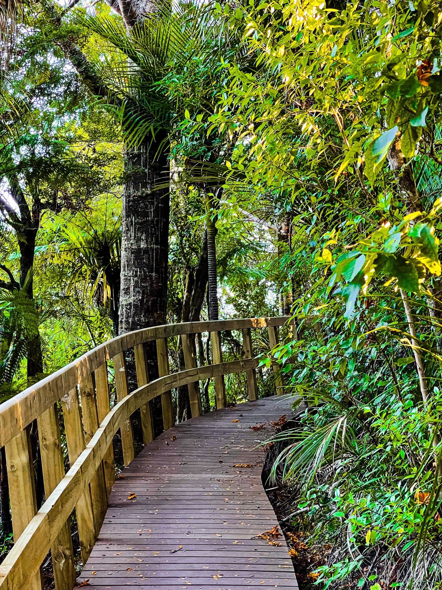
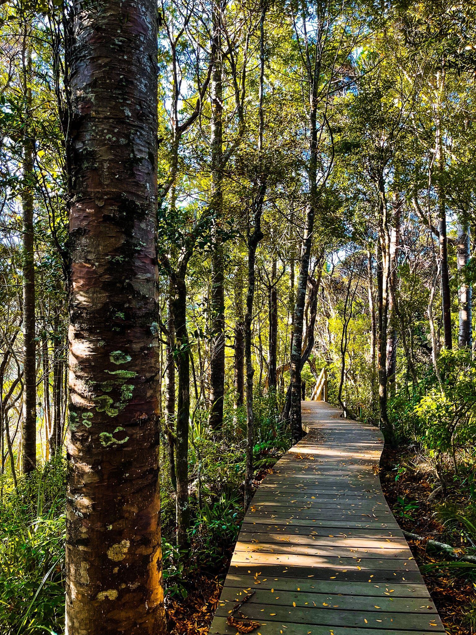
Because the track is such a visual delight, we have divided the description into three parts. This covers the access from Whatipu Road, immediately opposite the Puriri Track, through the kauri forest to the first peak. The section is quite easy with boardwalks through the forest, but does have a short steep climb to the first peak at 241 metres. It only takes about 40 minutes return for the first peak, or even less time if you can start from the second small car park a bit further down the road.
Omanawanui Part 2
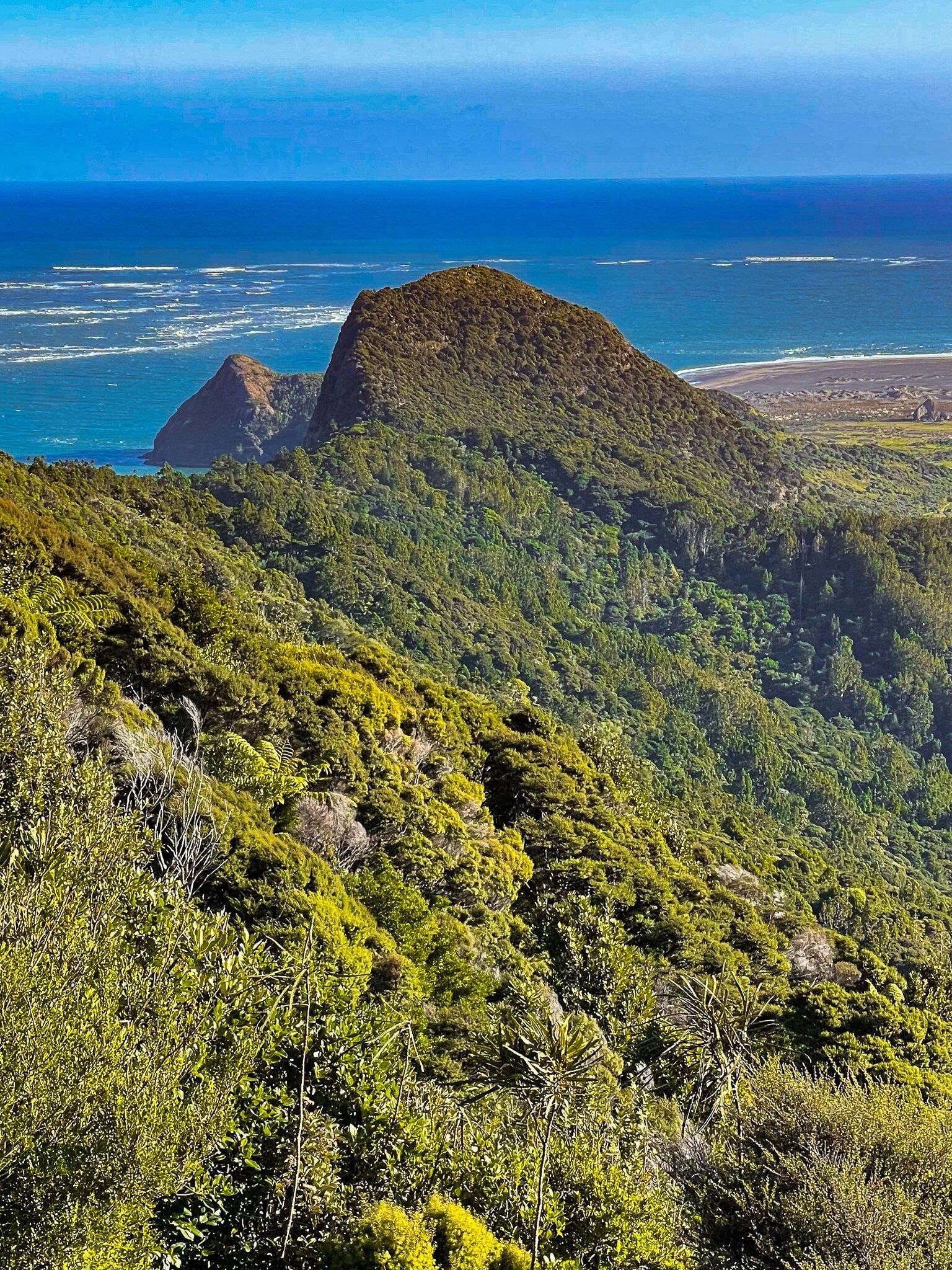
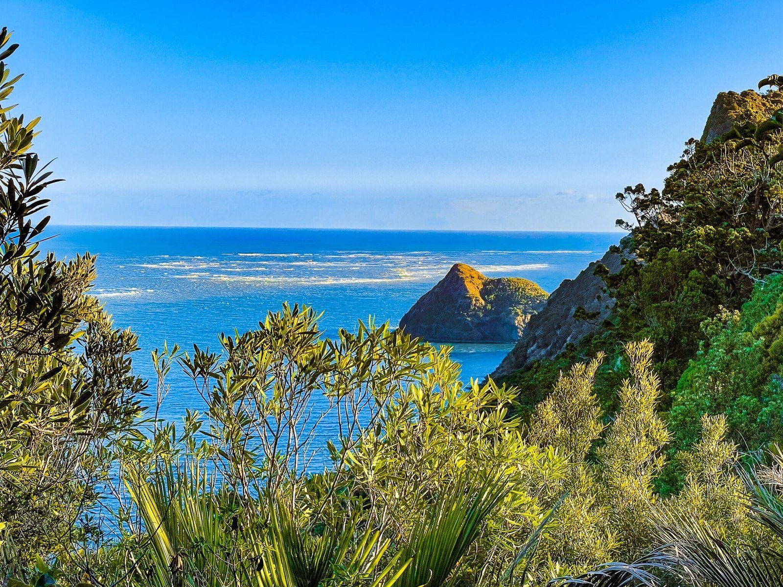
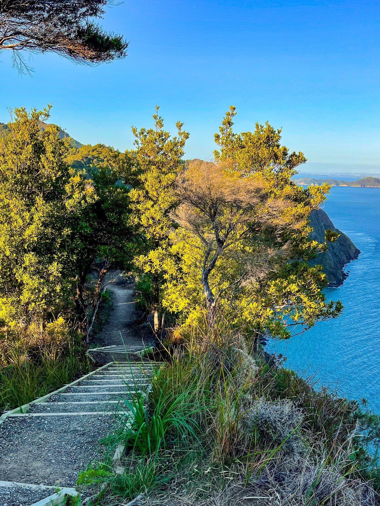
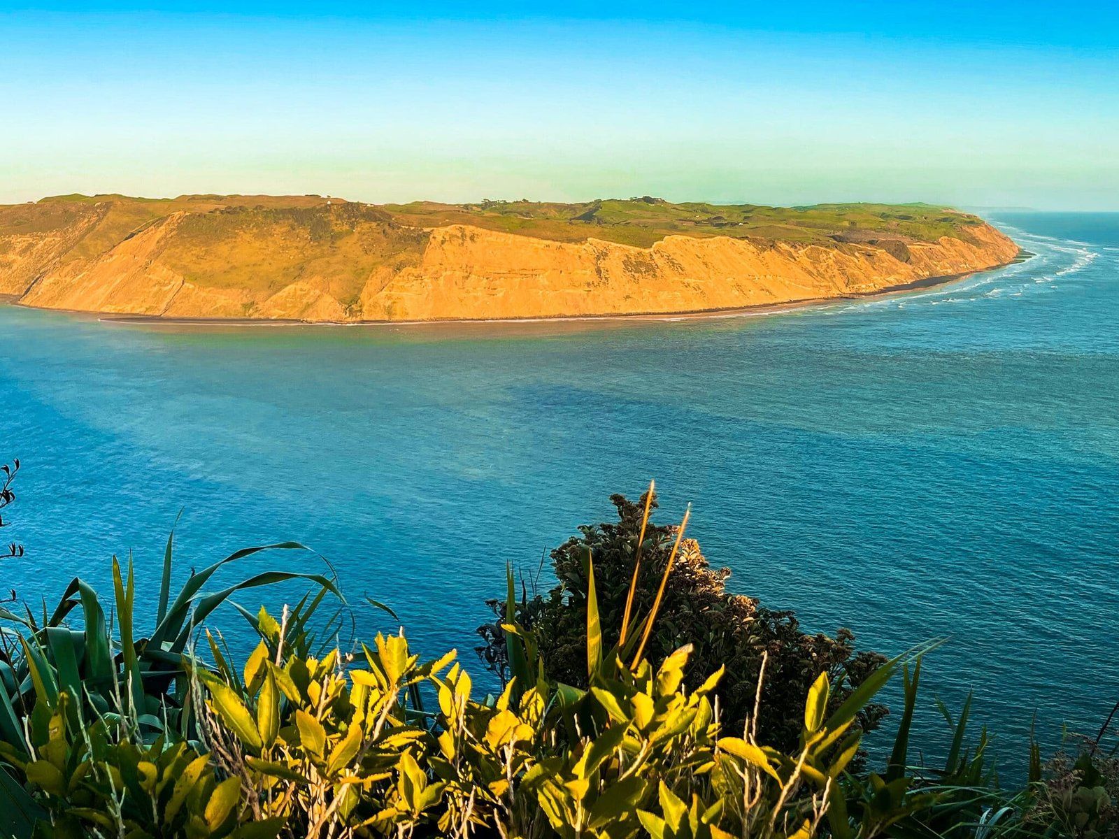
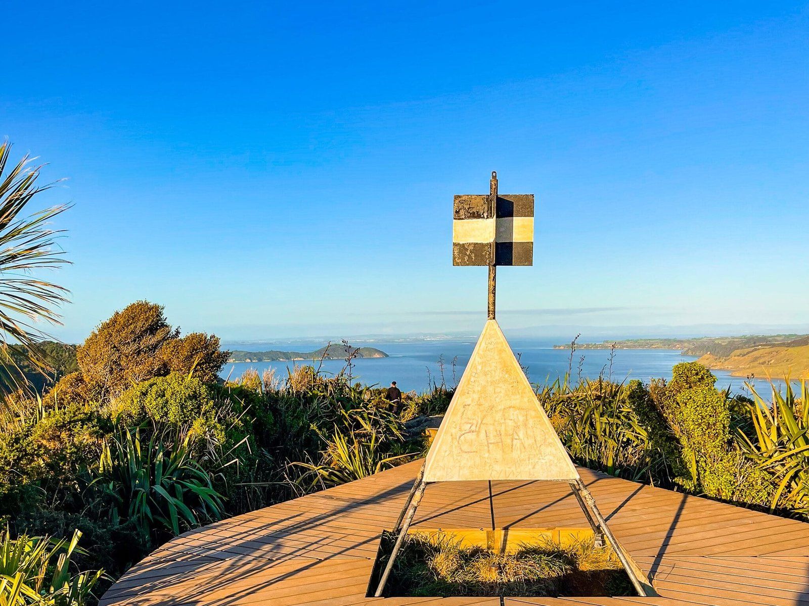
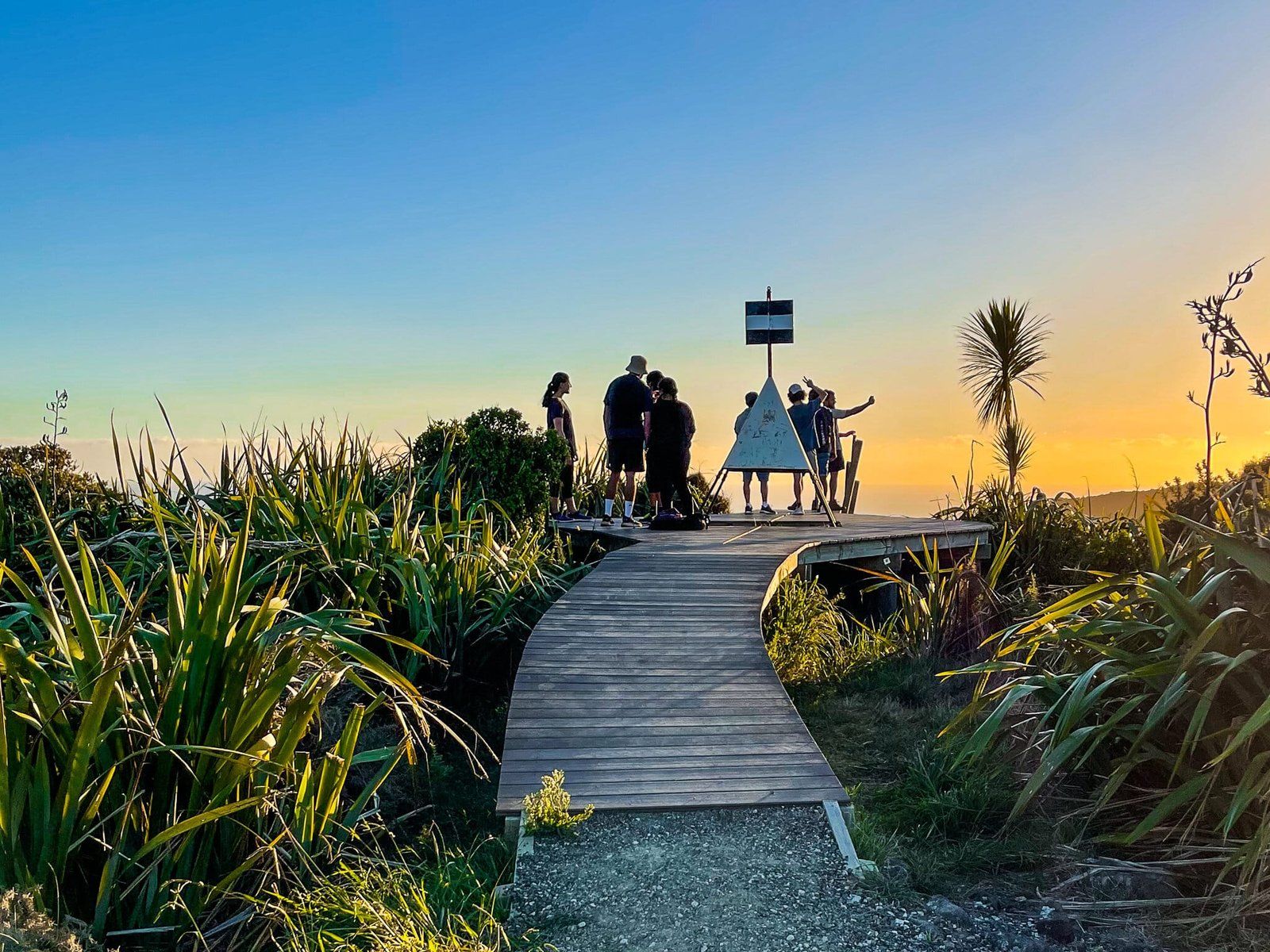
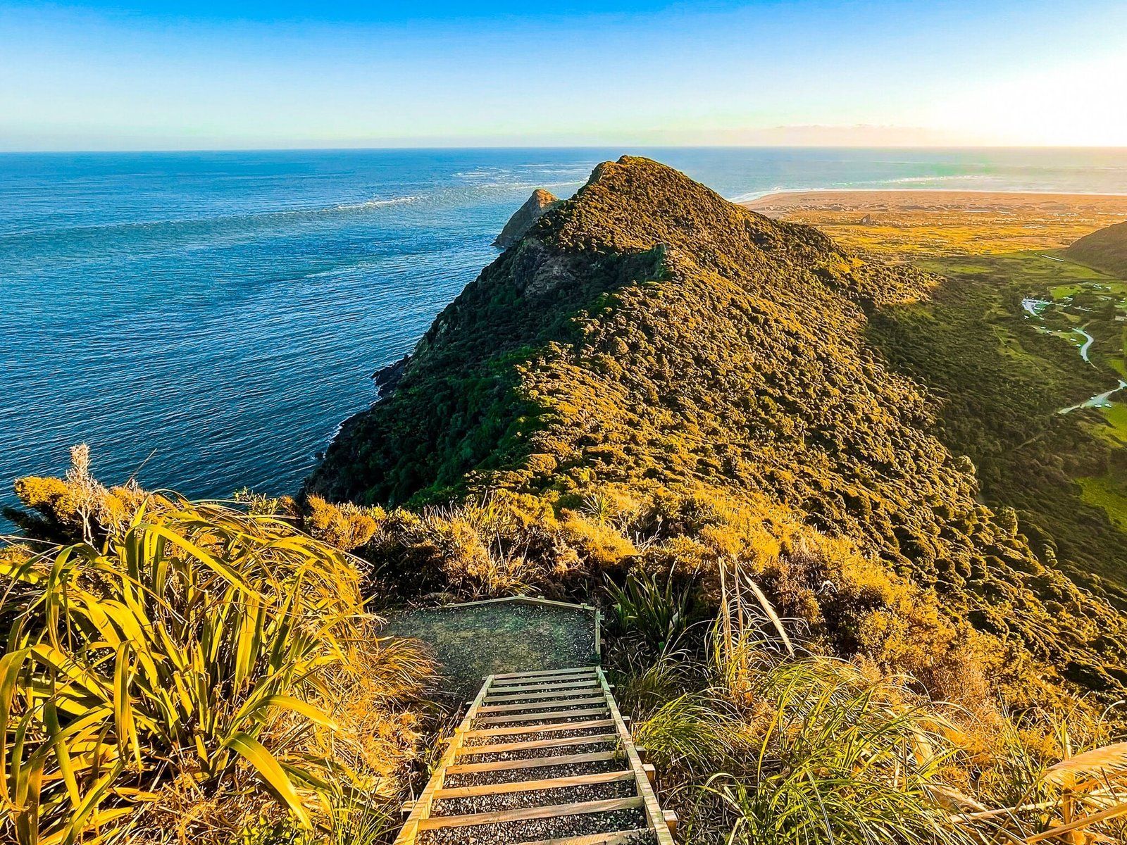
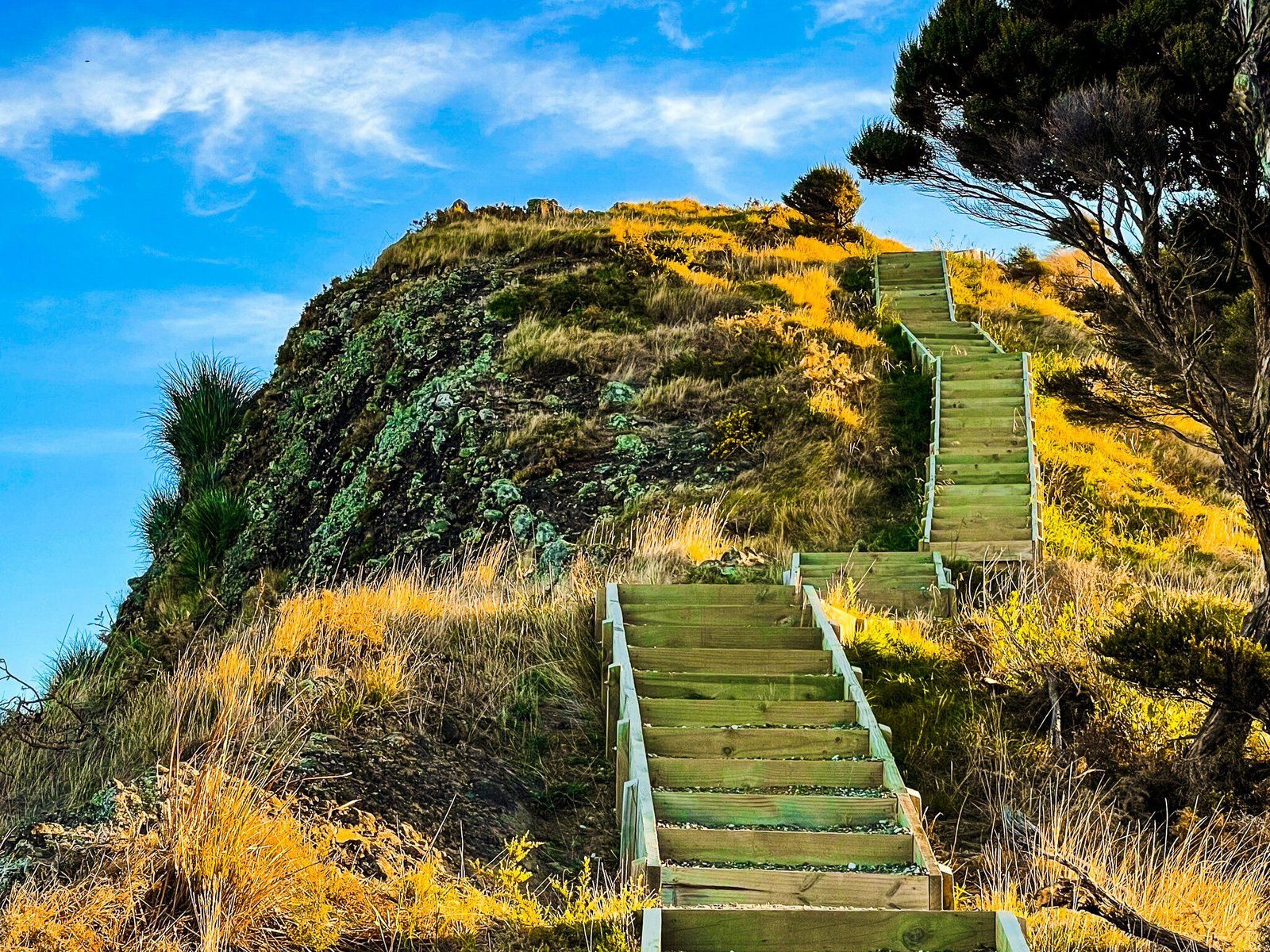
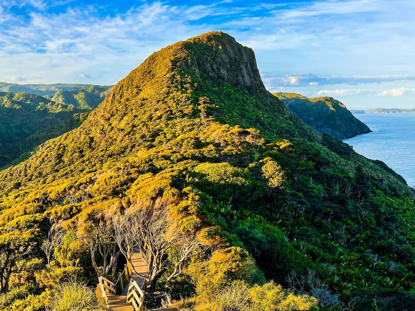
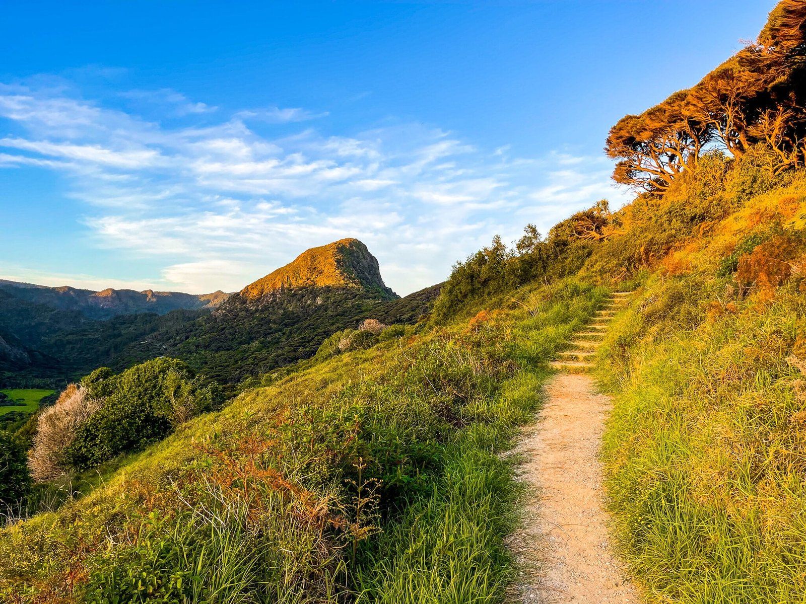
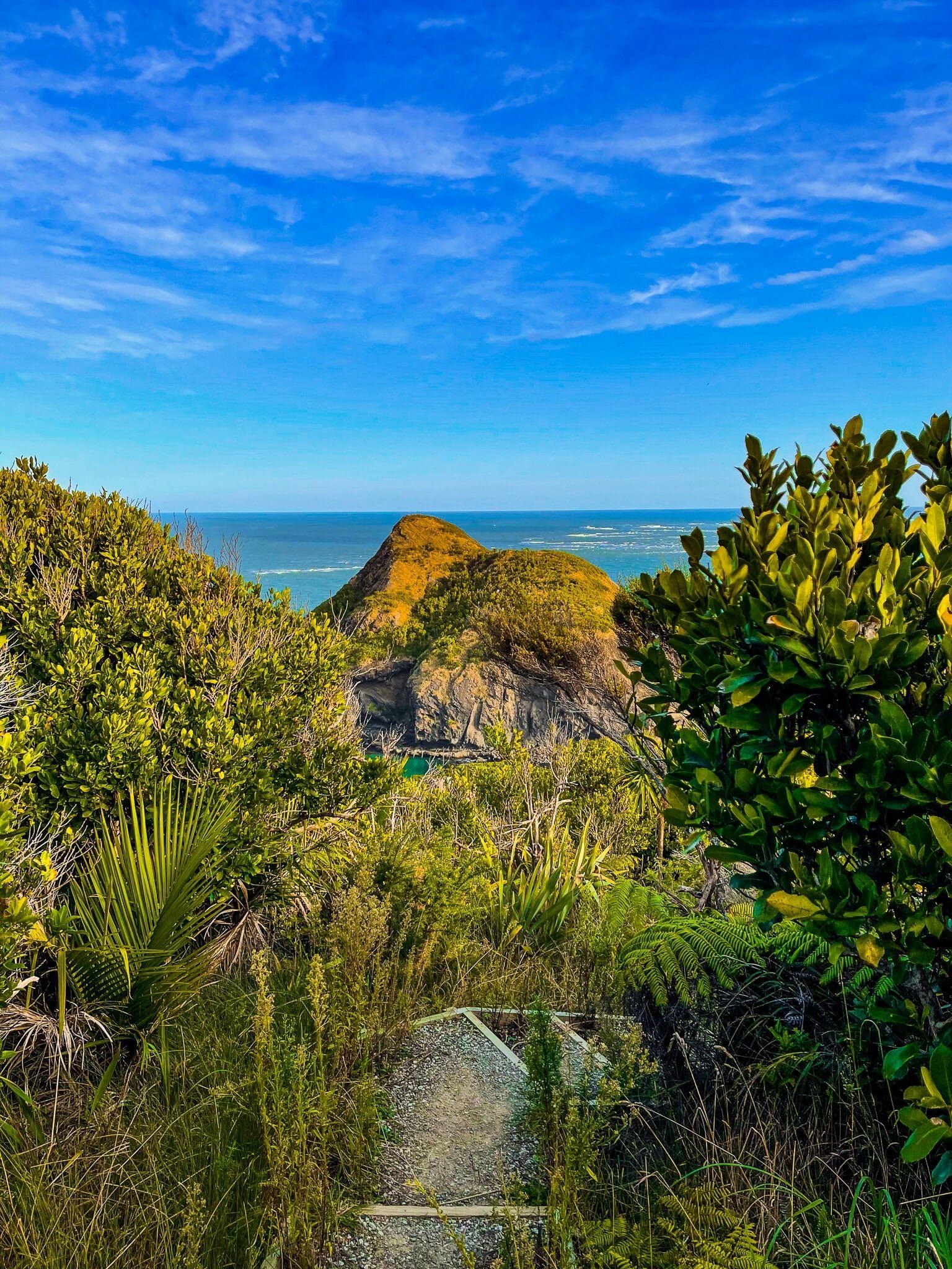
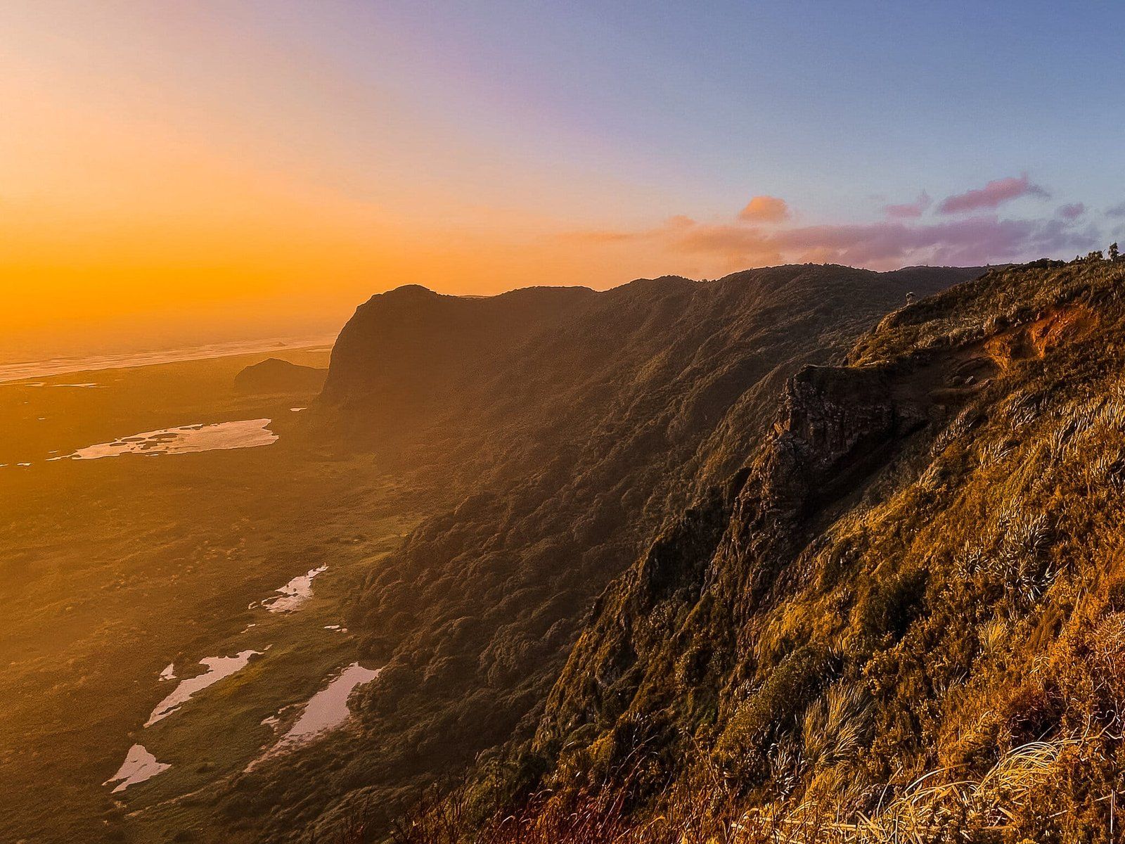
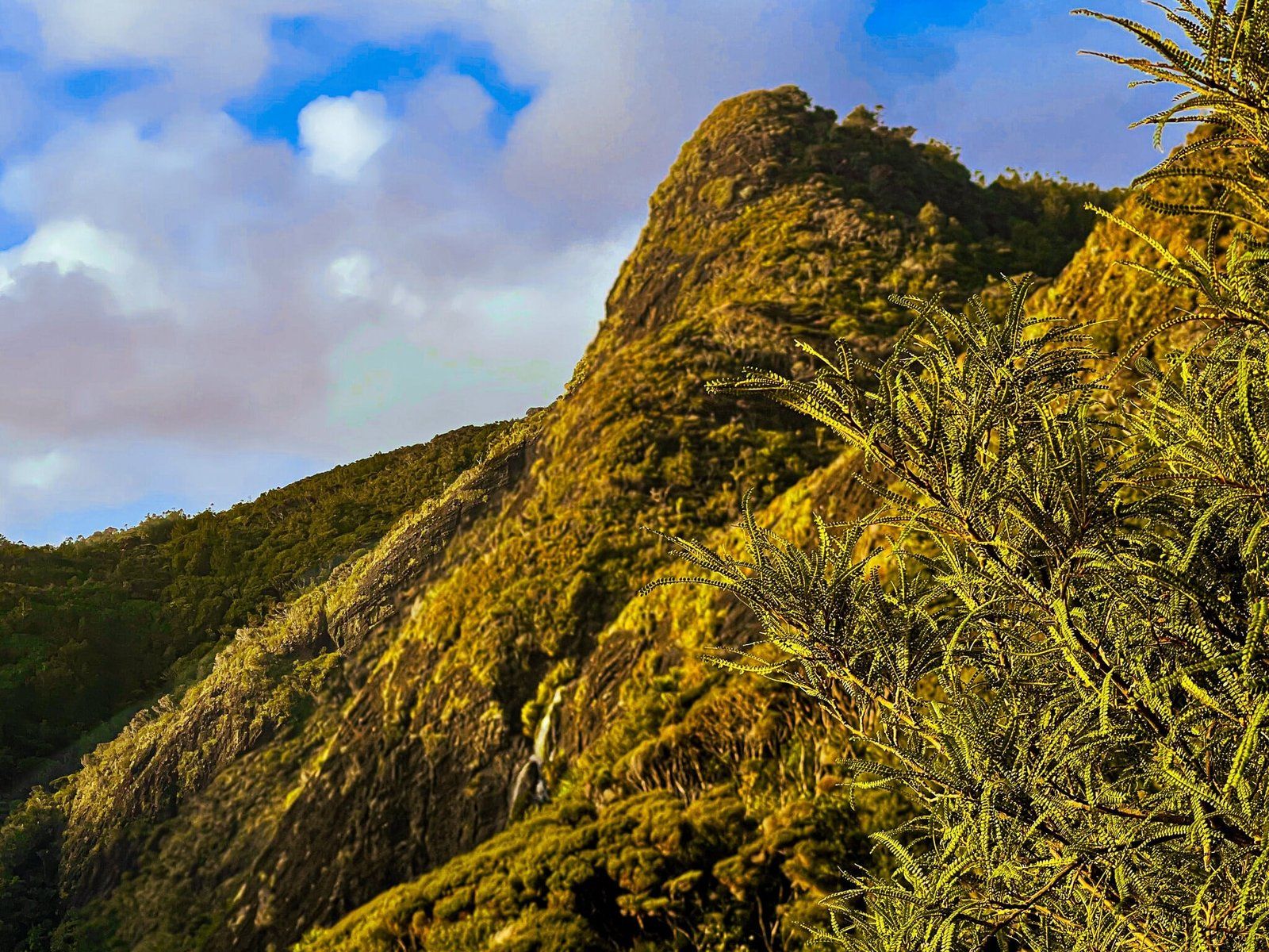
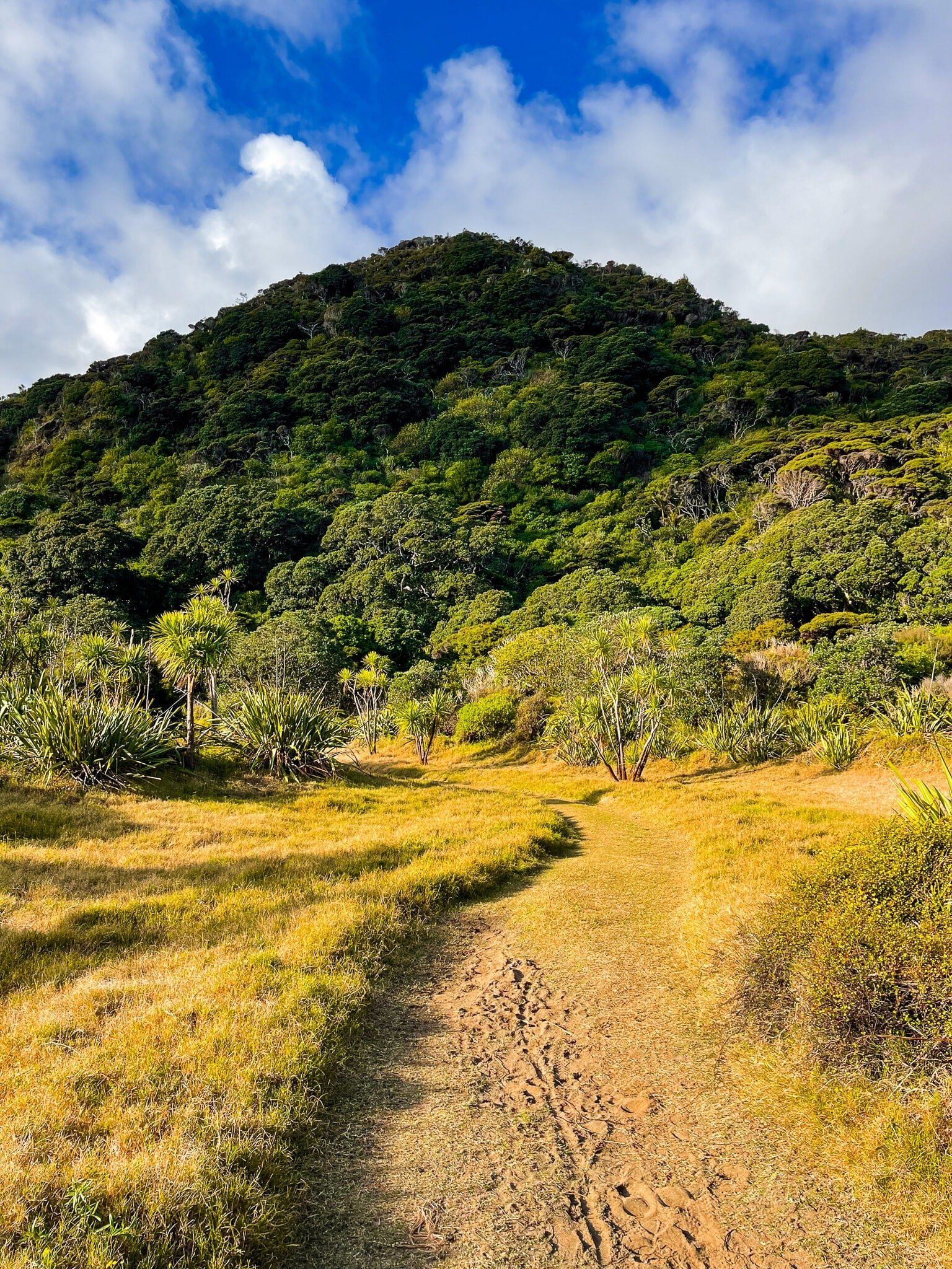
The peak of the Omanawanui Track is a highlight of Te Ara Tūhura, with the track passing directly over the top. At 241 metres with a viewing platform clear of obstructions, it provides 360 degree views over the Manukau Harbour and head, down to Whatipu and across the Waitakere Ranges. The peak itself is a stunning ancient volcanic core, very steep towards the top, and a near sheer cliff drop to the harbour.
Although it looks forbidding from a distance, it is actually straightforward as a one to three hour return walk. Starting from Whatipu Road, there are two entrance options, but with only four or five car parks. It takes 20 to 40 minutes to reach the peak depending on which entrance you start from. Or you could park at Te Rau o te Huia Mt McLean and walk the Puriri track to the start of Omanawanui on Whatipu Road (an extra 30 minutes). Either way the uphill is limited.
Alternatively, you can start from the Whatipu carpark at the end of Whatipu Road. This takes about 90 minutes of mostly uphill, with some moderately exposed cliff edge sections and a final 100 metre vertical slog up steep steps to the peak. We would avoid this approach in bad weather, and make sure to take some water if it’s hot.
Omanawanui Part 3
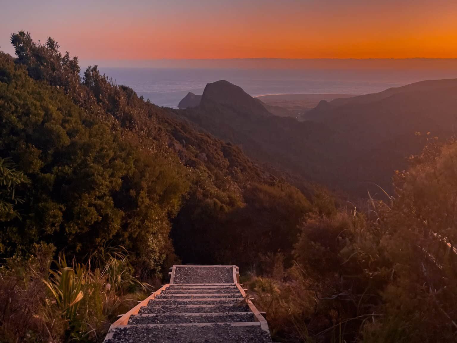
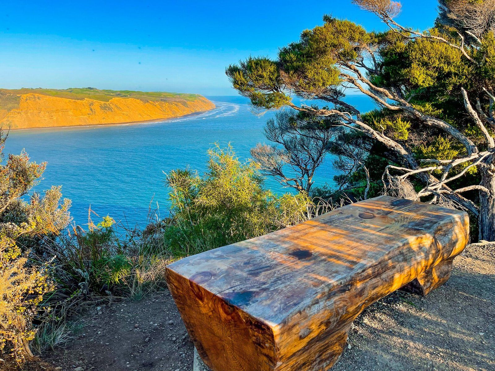
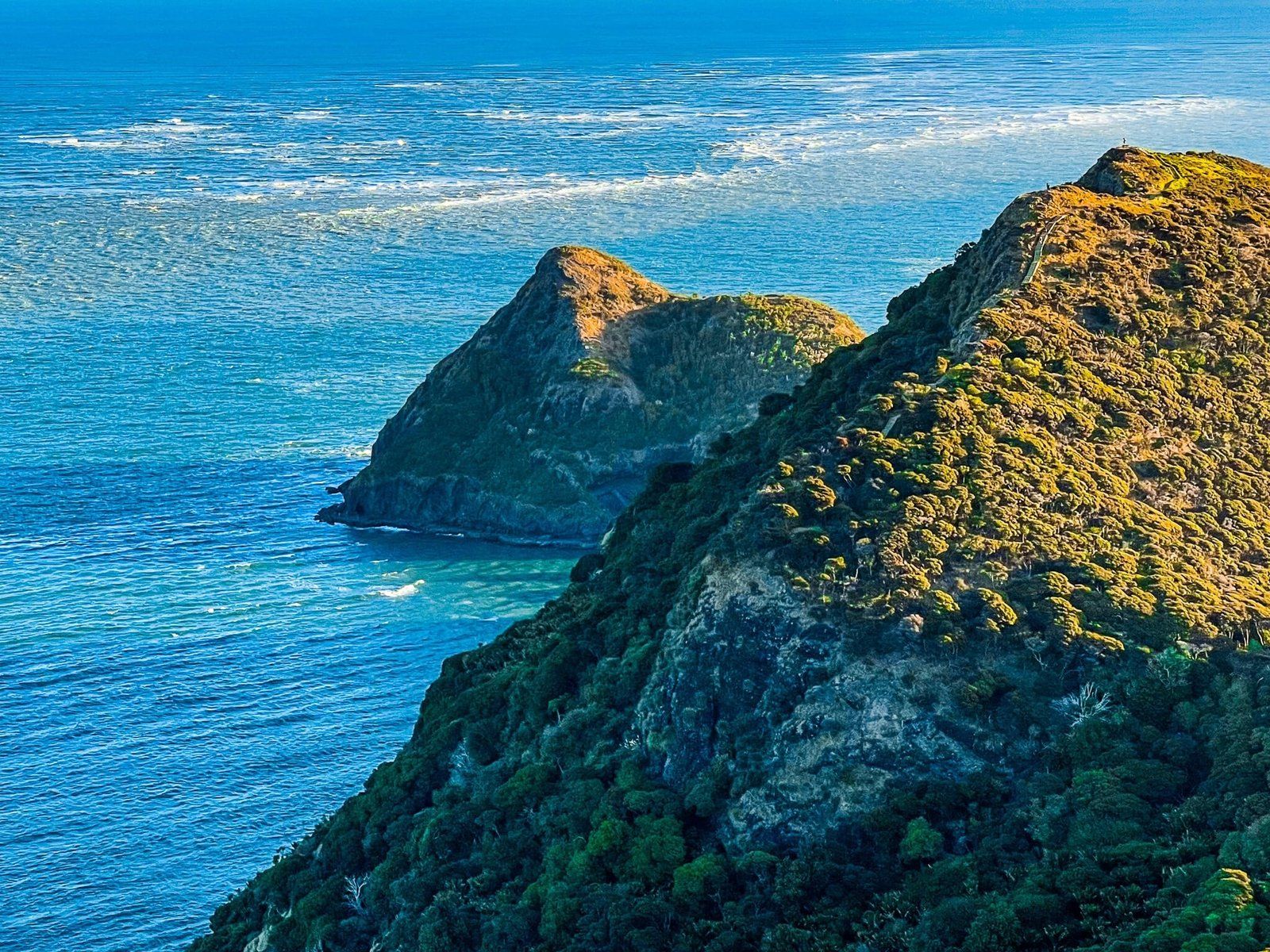
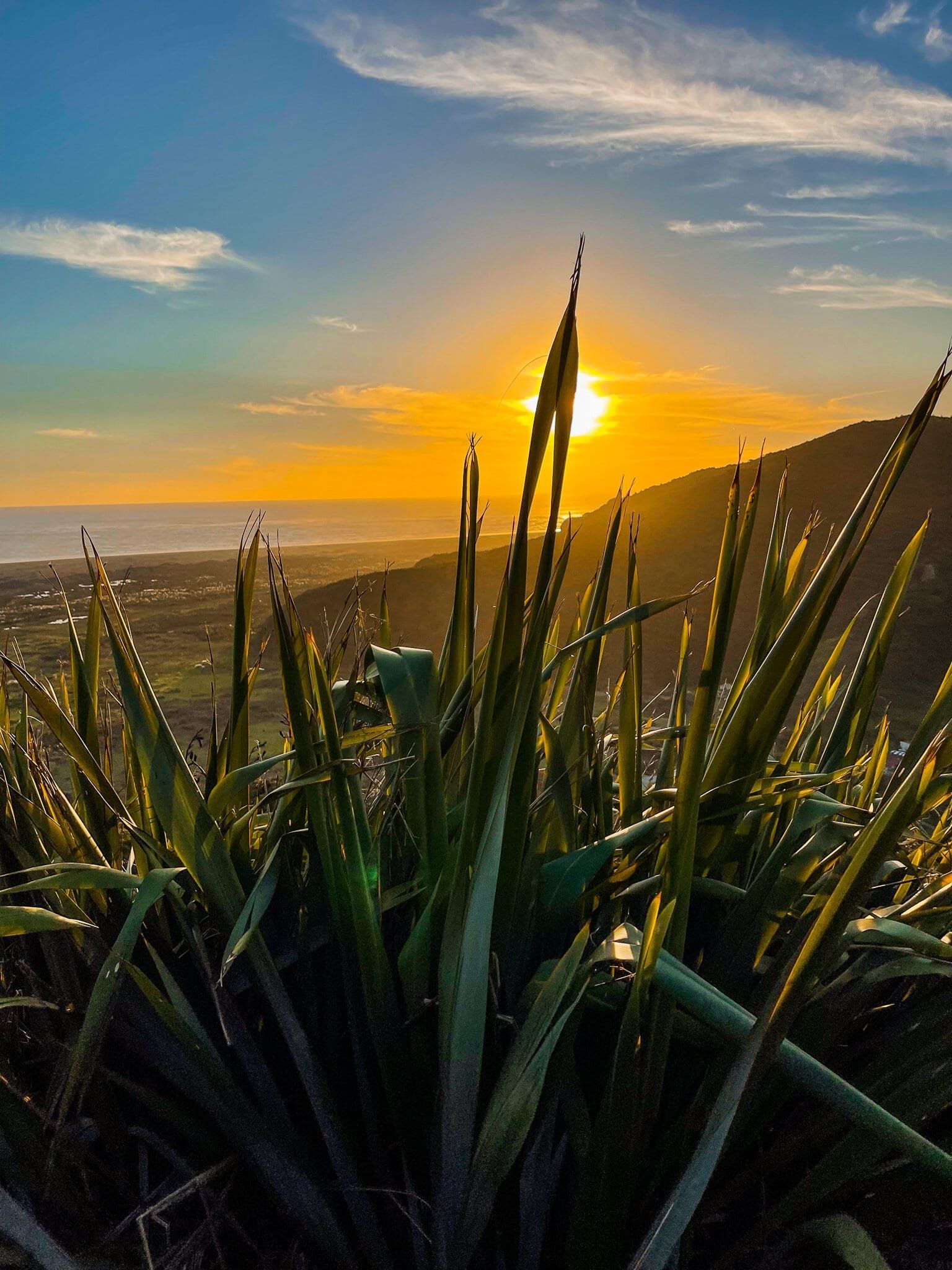
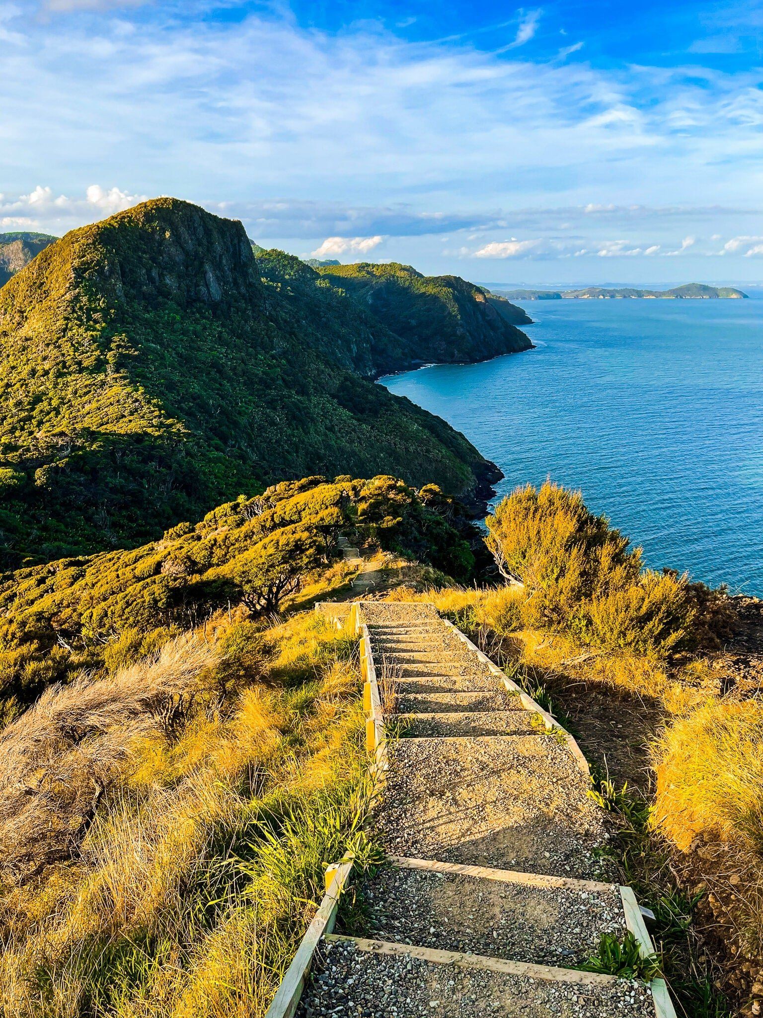
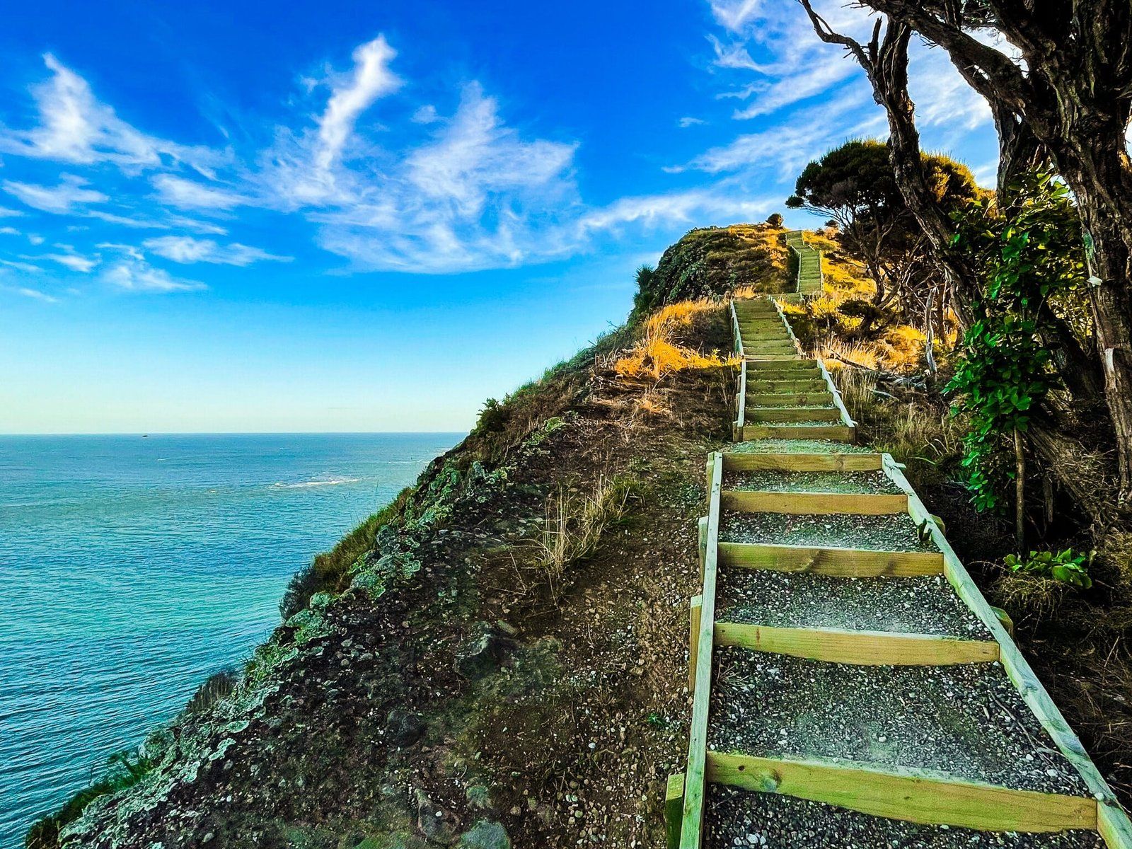
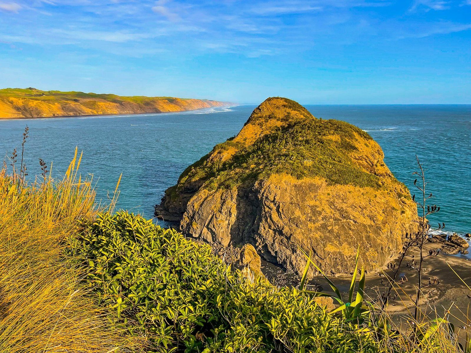
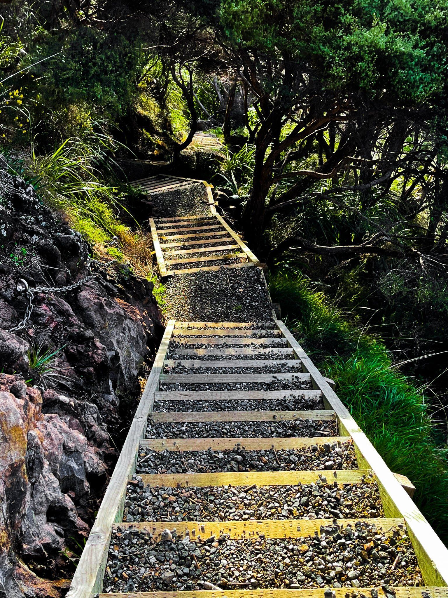
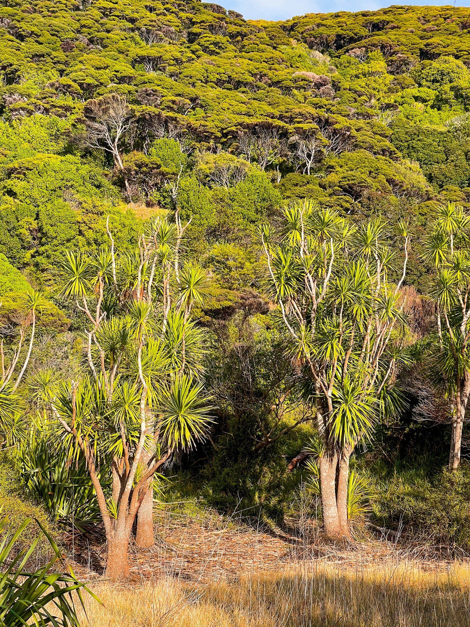
After the peak on Omanawanui Track, Te Ara Tūhura drops 100 metres down steps to a ridge with the Manukau Harbour on one side and the Whatipu Valley on the other. Most of the forest on this more exposed section is mānuka and kānuka scrub, with a few other signs of regrowth. There is a short climb over a small rocky peak, then a bridge over a gully before a spectacular, mostly cliff edge series of steps to the second high point at 180 metres. This overlooks the Manukau Head and Whatipu Beach, with one of the best viewing seats in the region. From here, you also have the best view back along the ridge to the Omanawanui Track highpoint.
From there it’s 10 minutes mostly on a series of steps down – note the ancient lava flow to the left – to the deviation on Signal House Track. From the intersection it’s an easy 20 minute downhill to the Whatipu car park.
Signal House Track
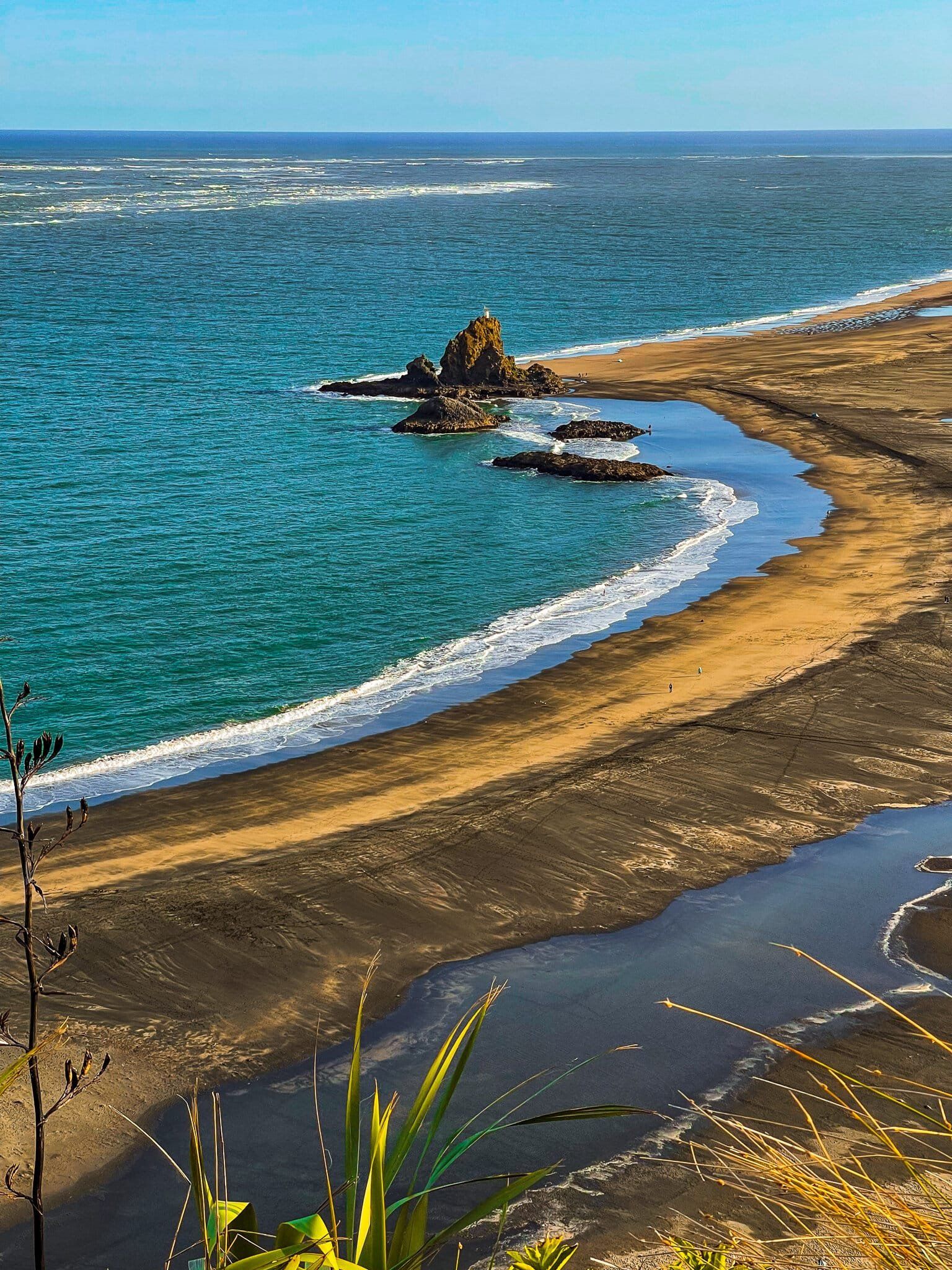
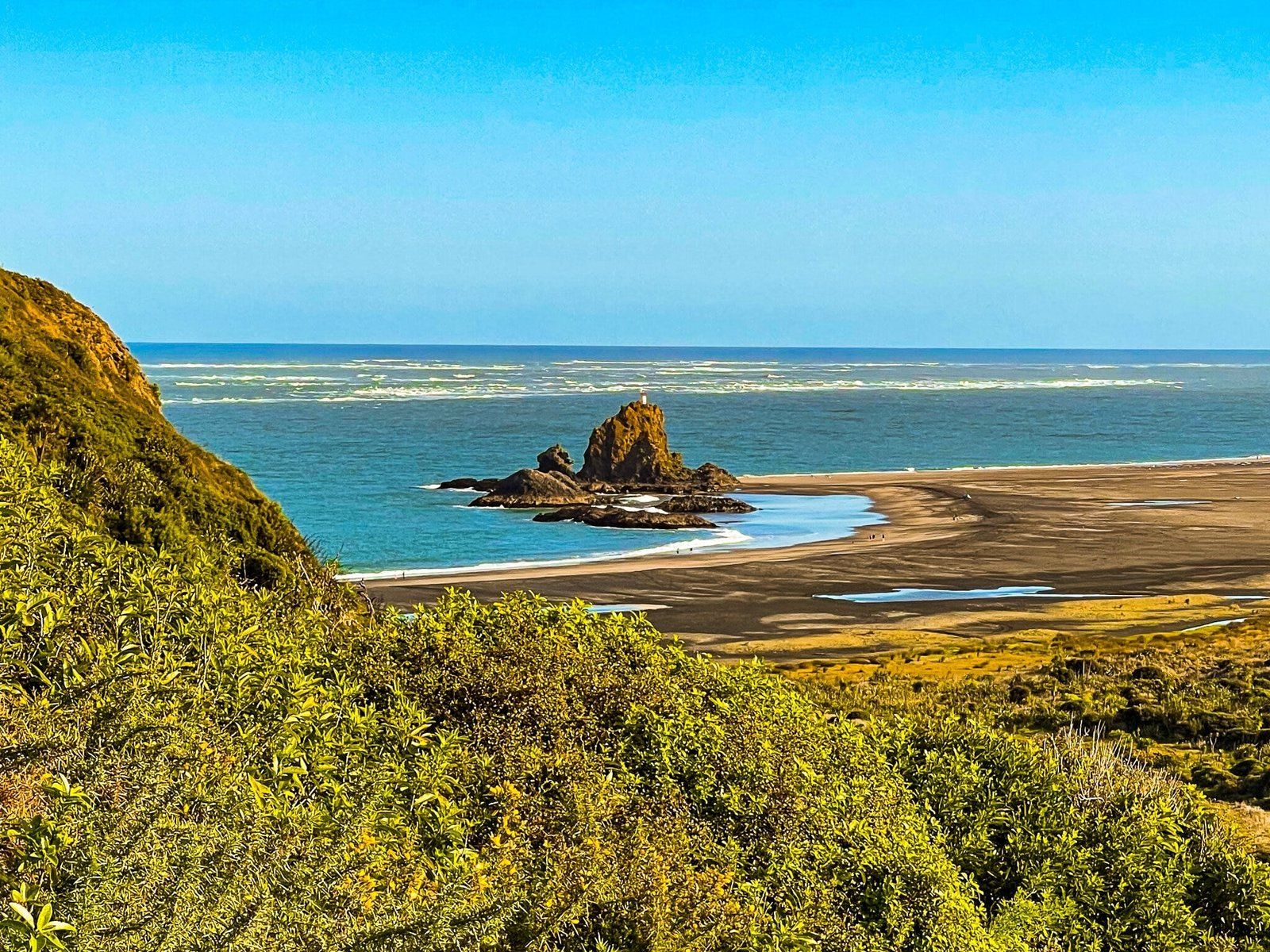
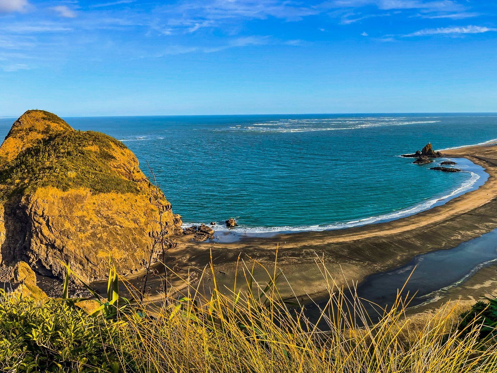
A shorter, easier option on the Omanawanui Track is to walk from Whatipu car park to Signal House. This provides the best view over Puratutae Island and the near-perfect crescent of Whatipu Beach, marked at its far end by Te Toka Tapu O Kupe Ninepins, and only takes about 15 minutes each way. From there, you can continue on for about 10 minutes up the steeper steps to Wing Head. Allow about an hour return to do this variation.
Gibbons and Muir Tracks
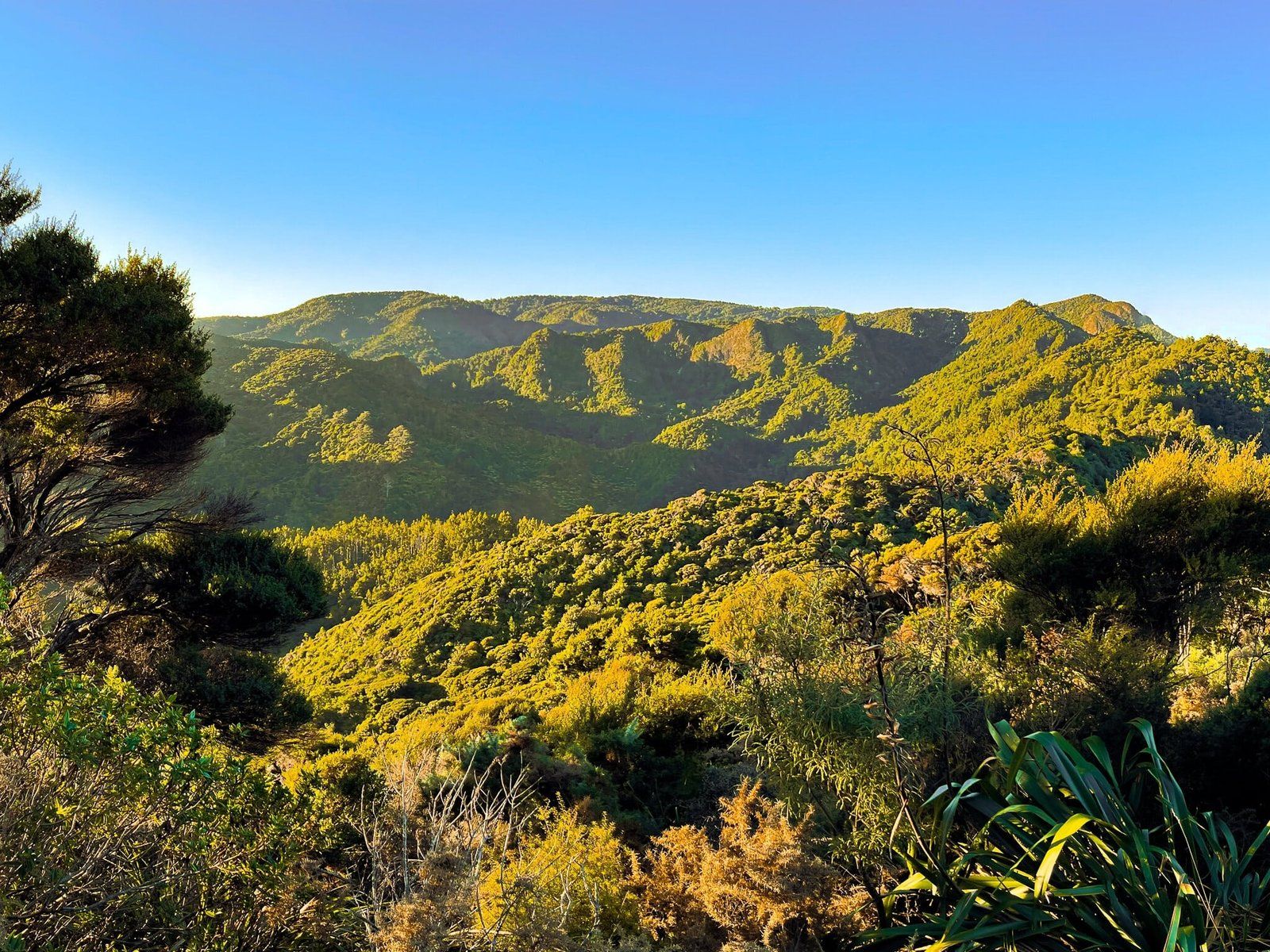
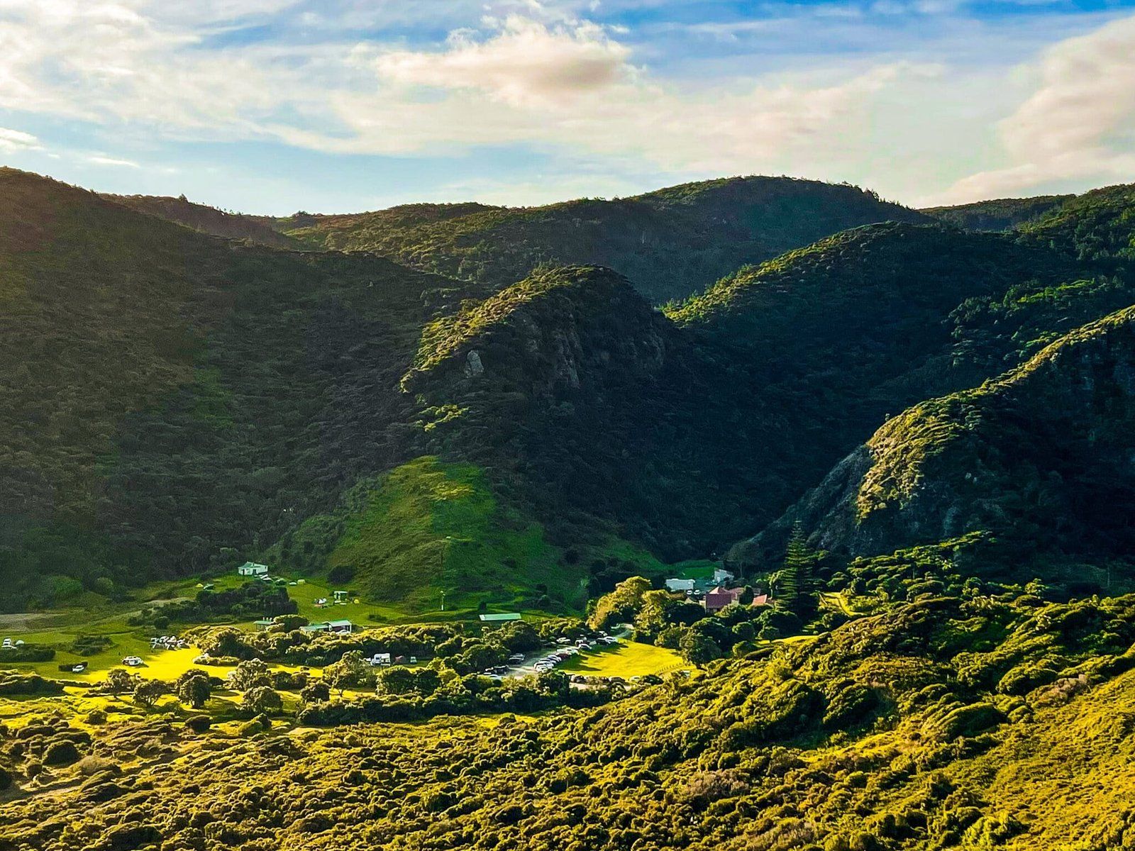
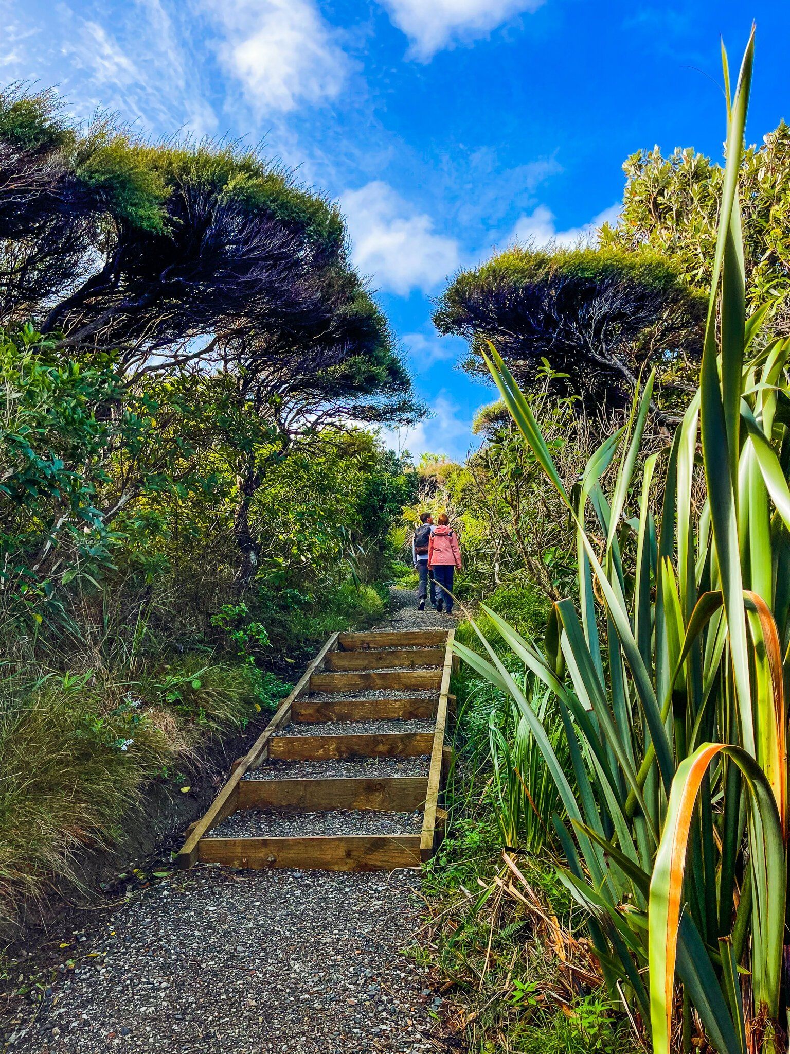
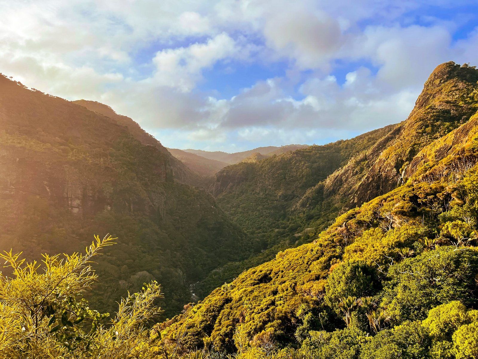
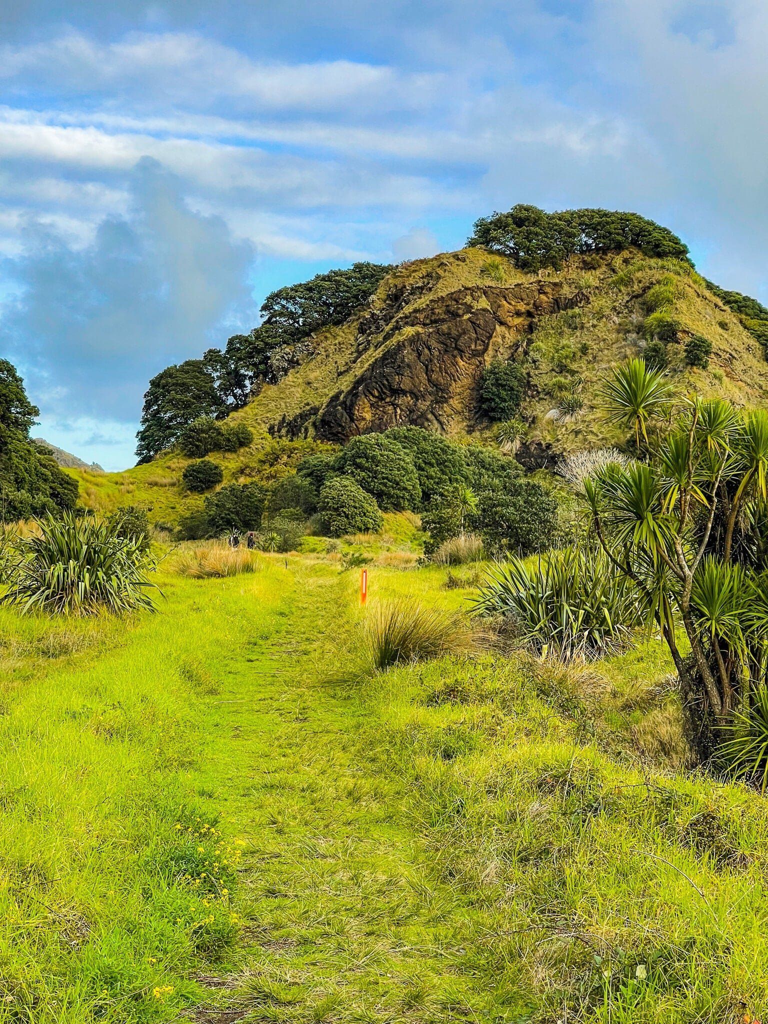
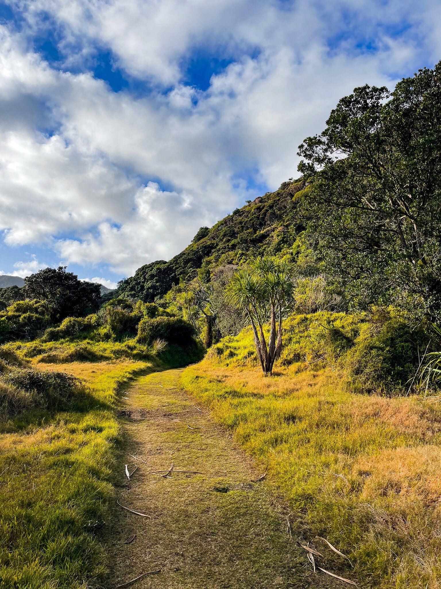
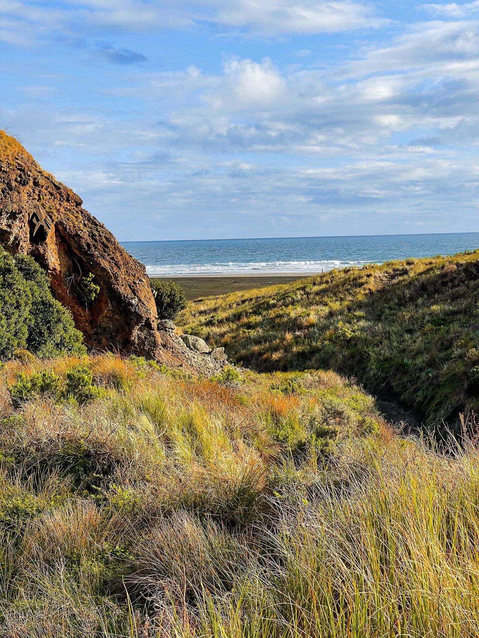
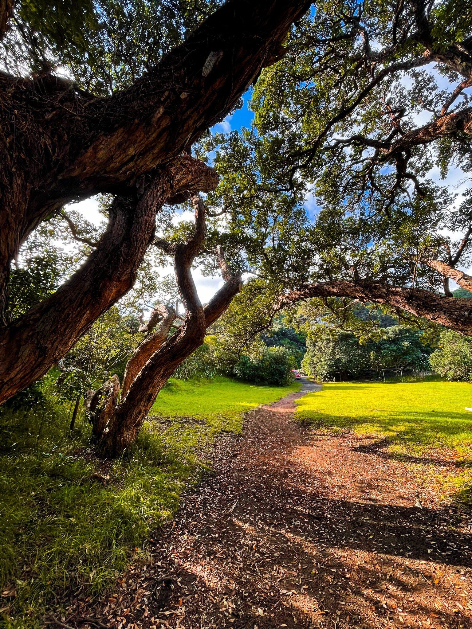
Gibbons and Muir Tracks are the section of Te Ara Tūhura that joins Whatipu to the Pararaha Valley, which is about half way between Whatipu and Karekare. The track starts from the Whatipu car park and runs in front of the campground to the steep hills and cliffs to the north. It then winds quite quickly up to the high ridge (280 metre total climb) that runs above the coast until the very steep drop down to the Pararaha Valley.
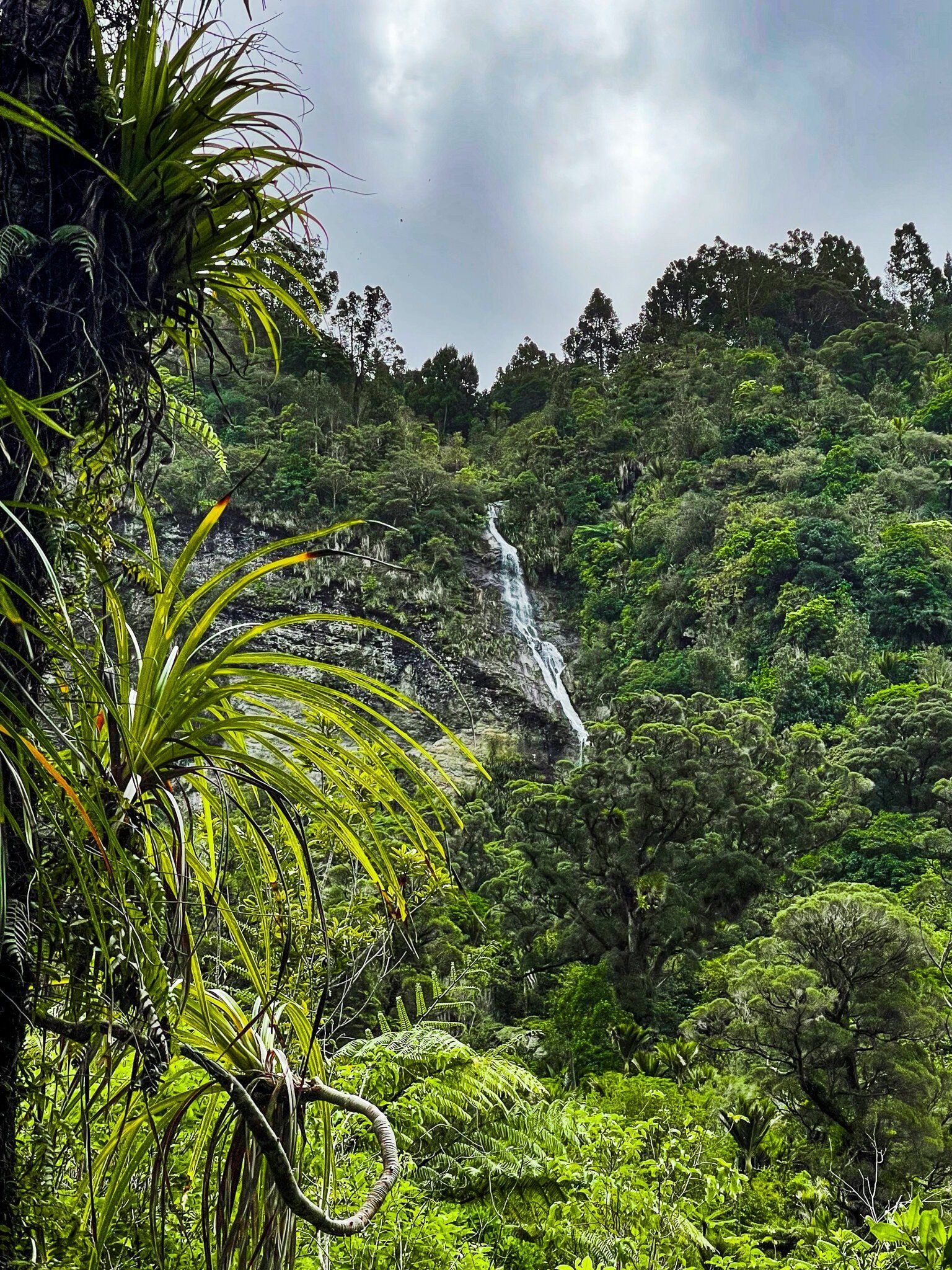
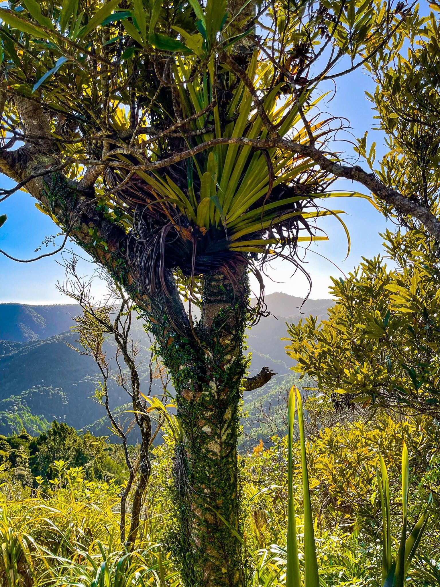
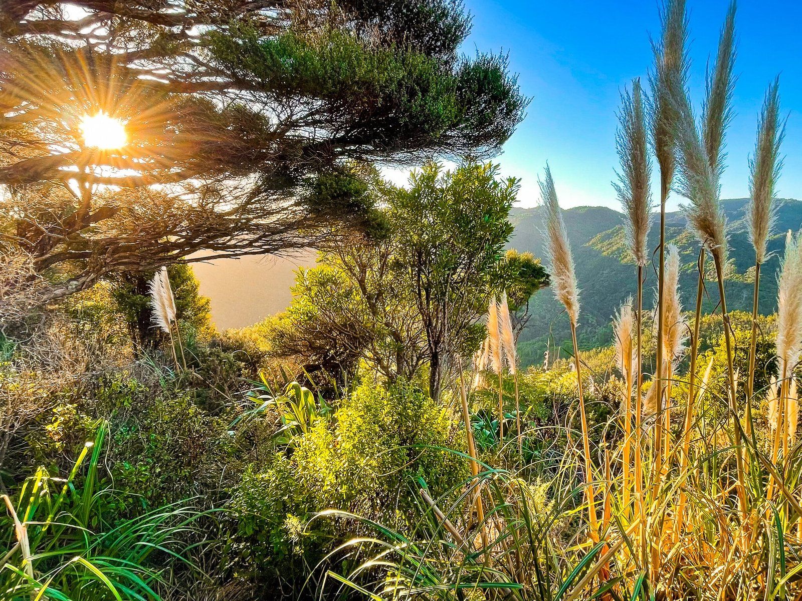
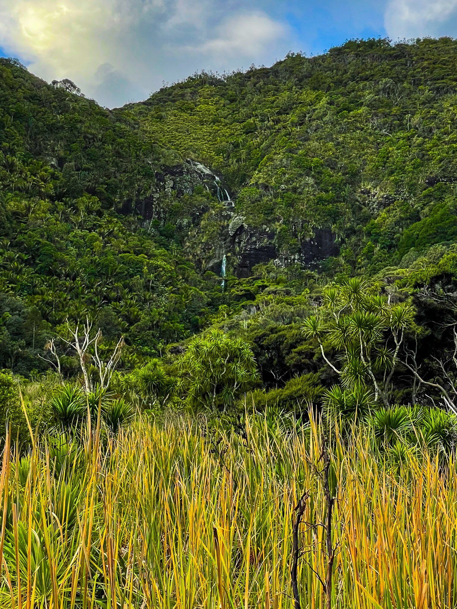
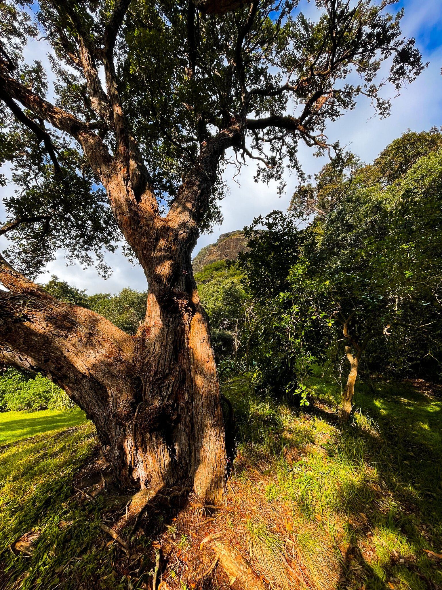
The first section of the track runs up through forest dominated by several mature puriri trees, with a couple of fantastic cliff edge viewpoints that look along the coast and out to the Tasman Sea. Once on the ridge, it is an easy hike through mostly regrowth forest, including a section of young kauri and rimu trees. As you drop down into the valley, there is an open section on the track with a fantastic view across the steep-sided valley. To the right side, you may be able to see a waterfall cascading from the top of one of the cliffs, although this is probably only active with a reasonable amount of rain. Then it is a steep series of steps, with a chain to help out if needed down to the campground in the valley.
Pararaha Valley
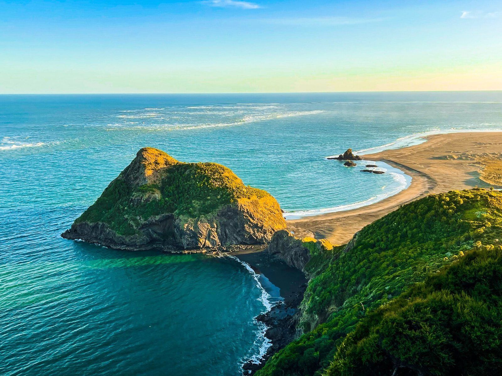
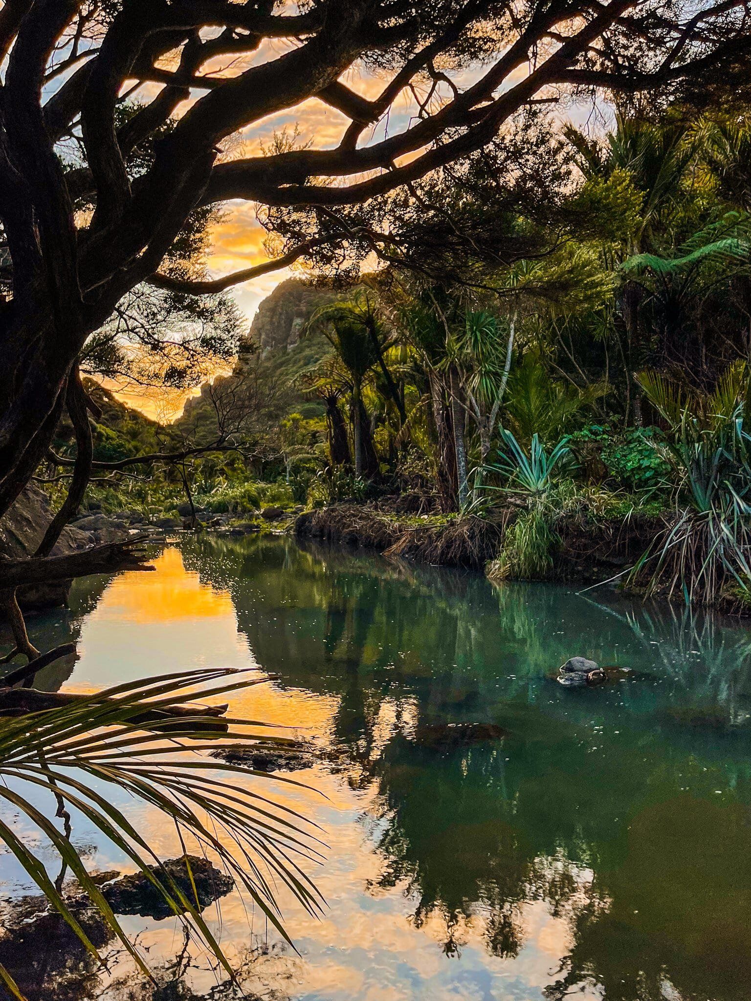
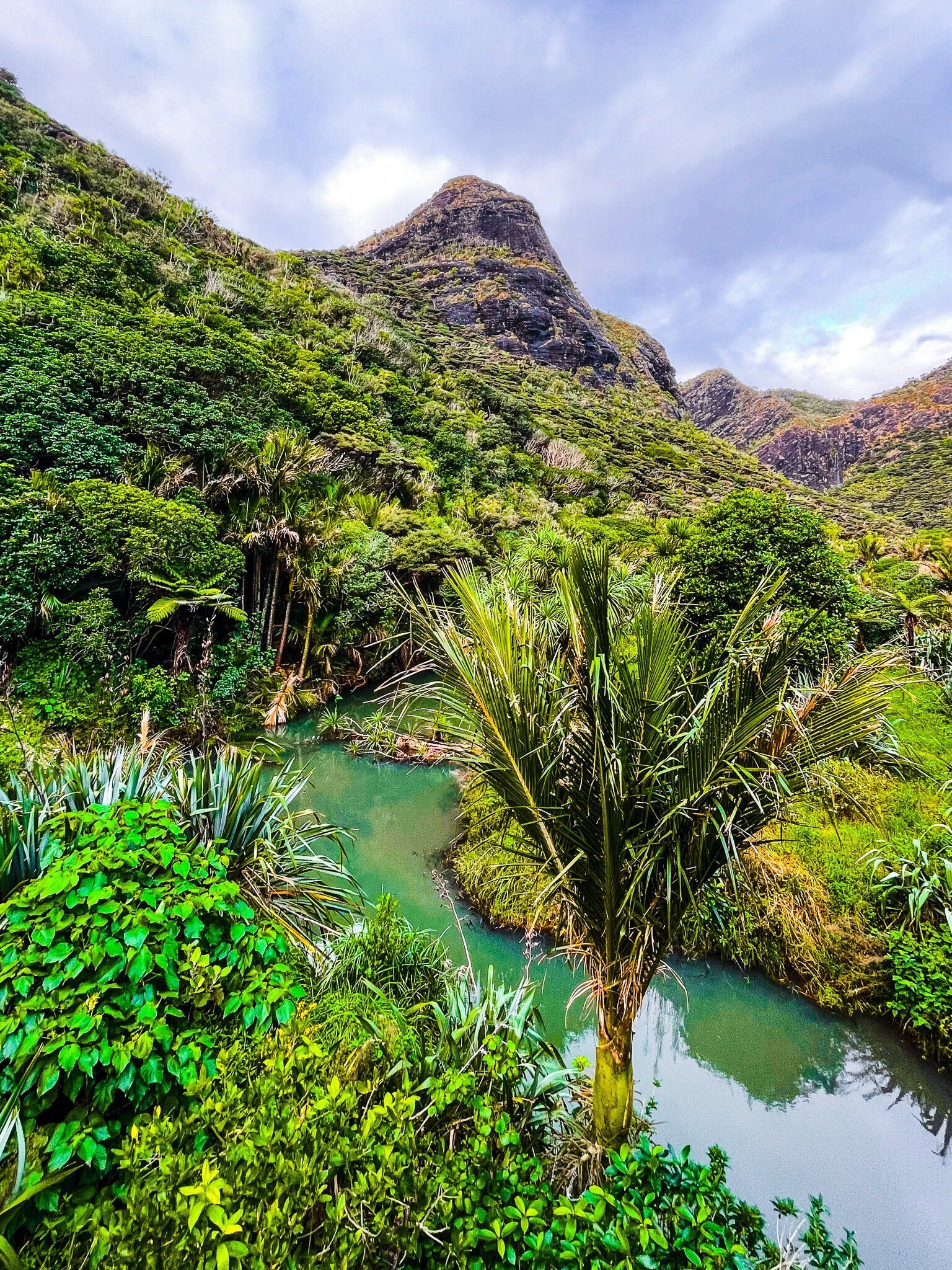
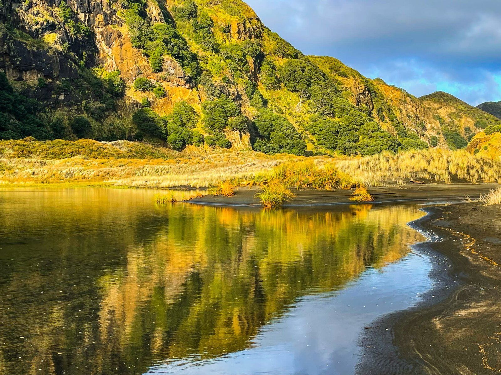
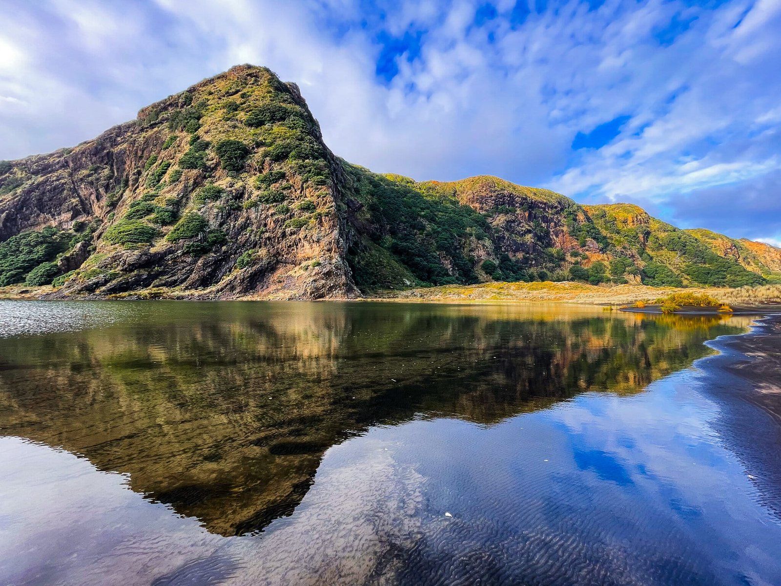
Pararaha Valley is a stunningly steep-sided valley on Te Ara Tūhura, about halfway between Whatipu and Karekare. Access is along the Gibbons and Muir Tracks from Whatipu to the campsite roughly in the middle of the valley; or along the beach, then through the dunes from Karekare to the valley entrance. On Te Ara Tūhura, you will enter the valley from Gibbons/Muir, but each of these walks takes about 2.5 hours return, depending on how distracted you get if you are walking in and out.
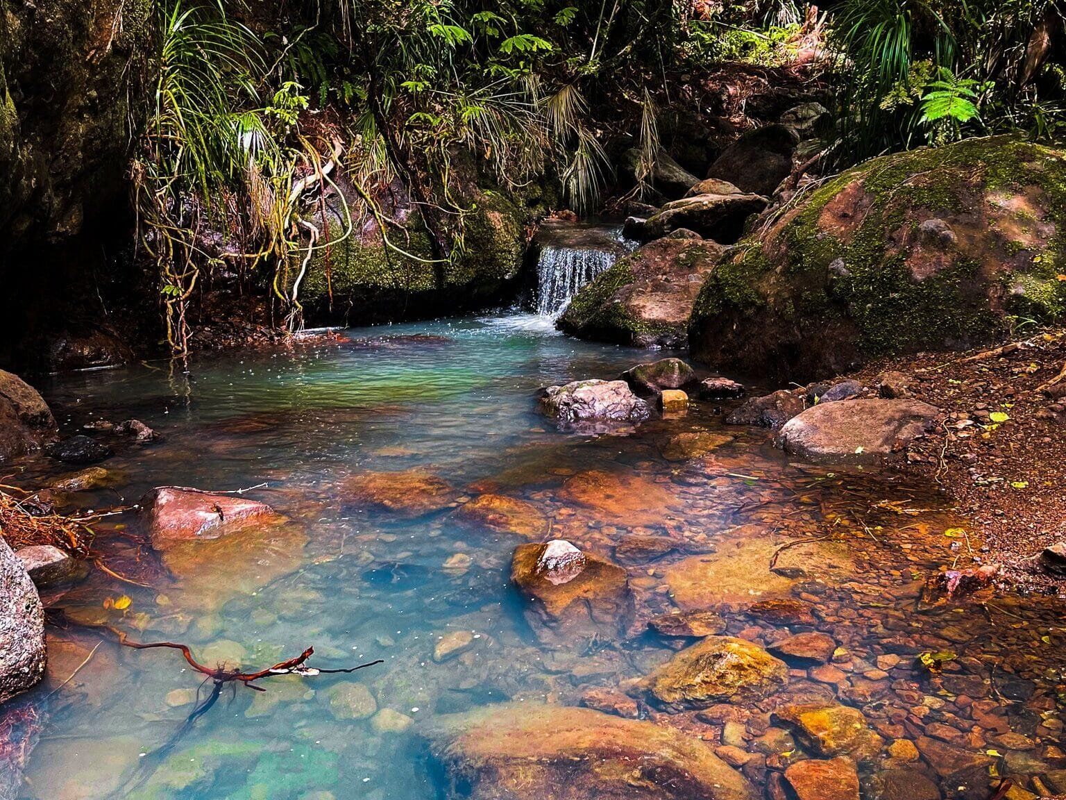
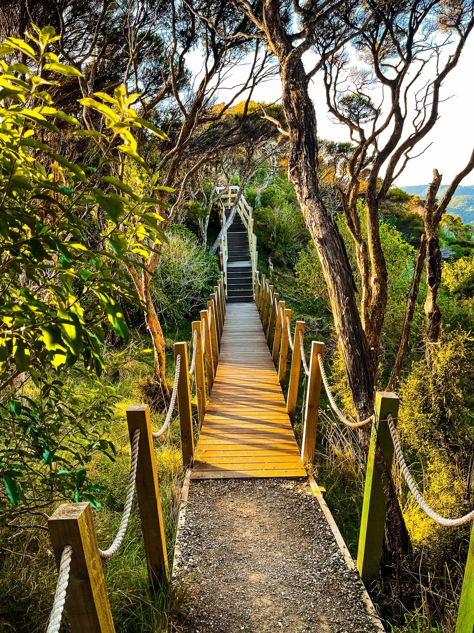
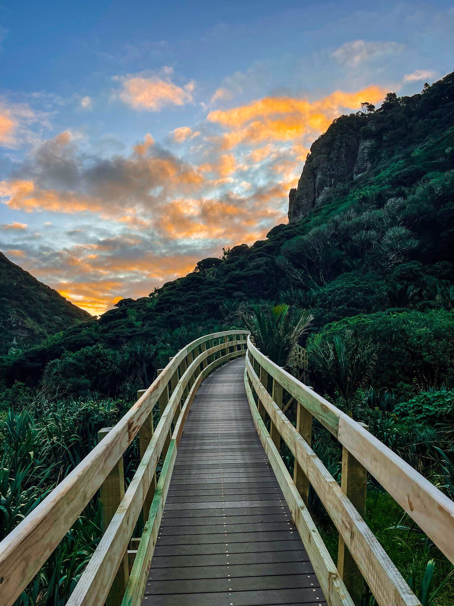
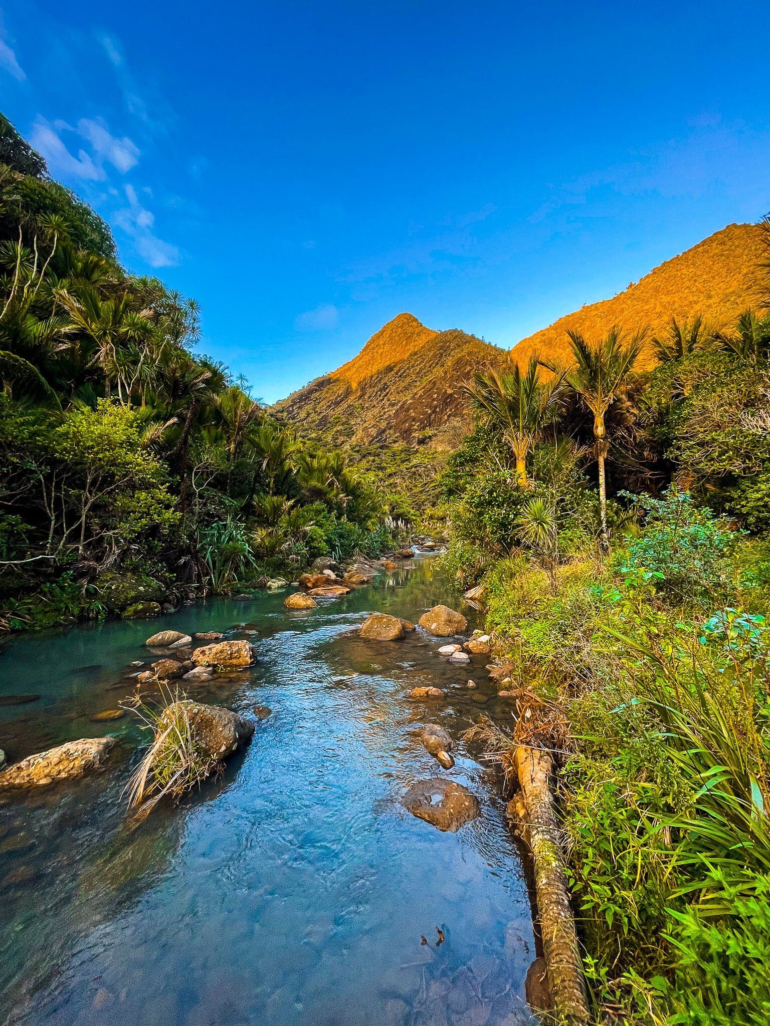
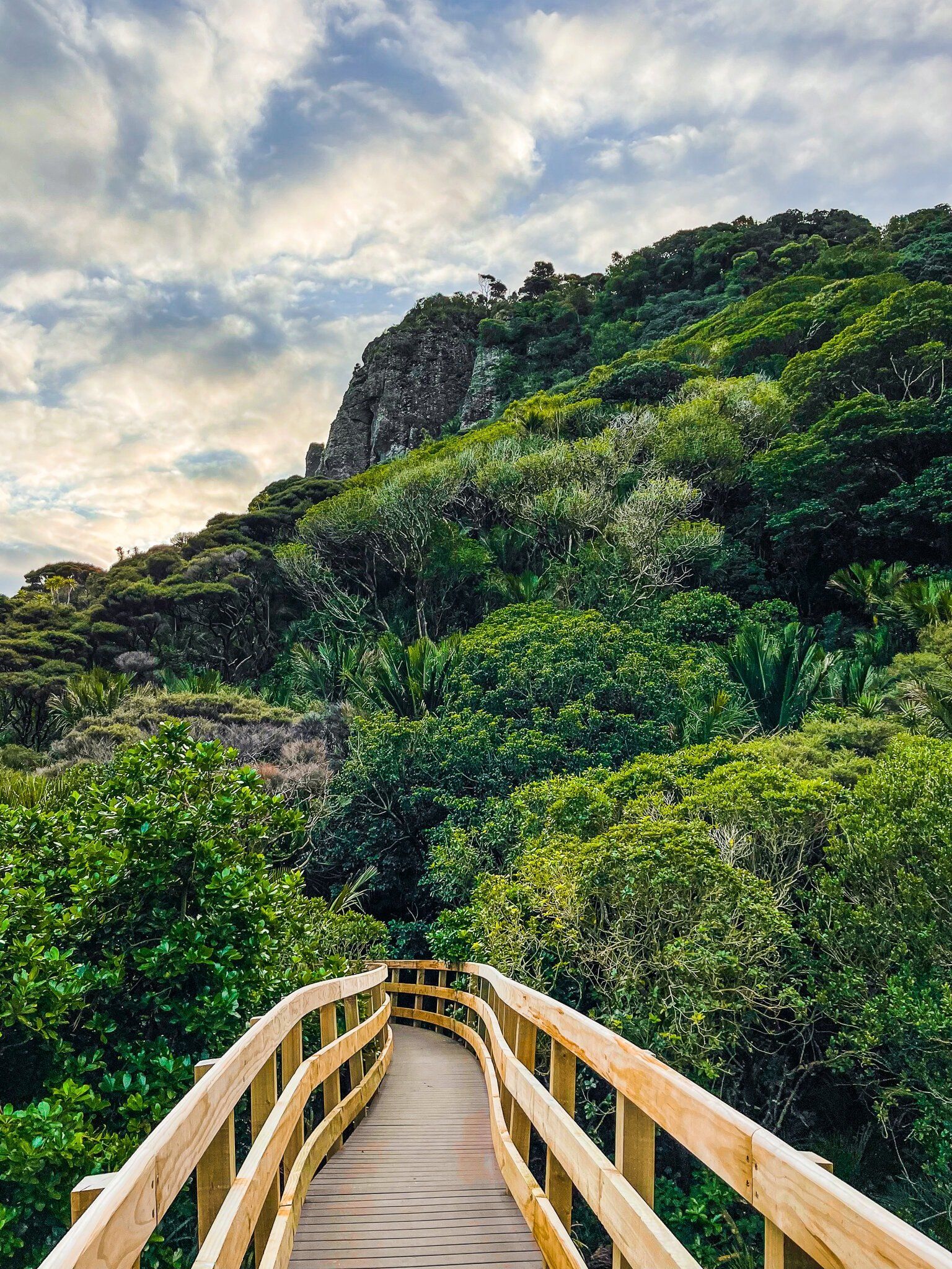
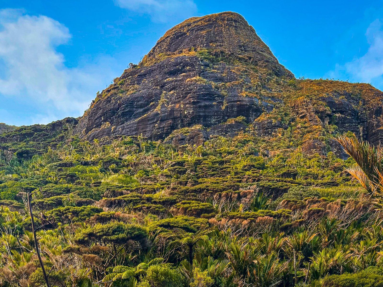
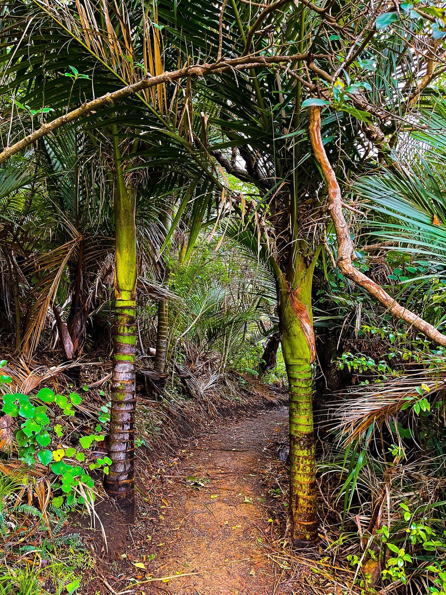
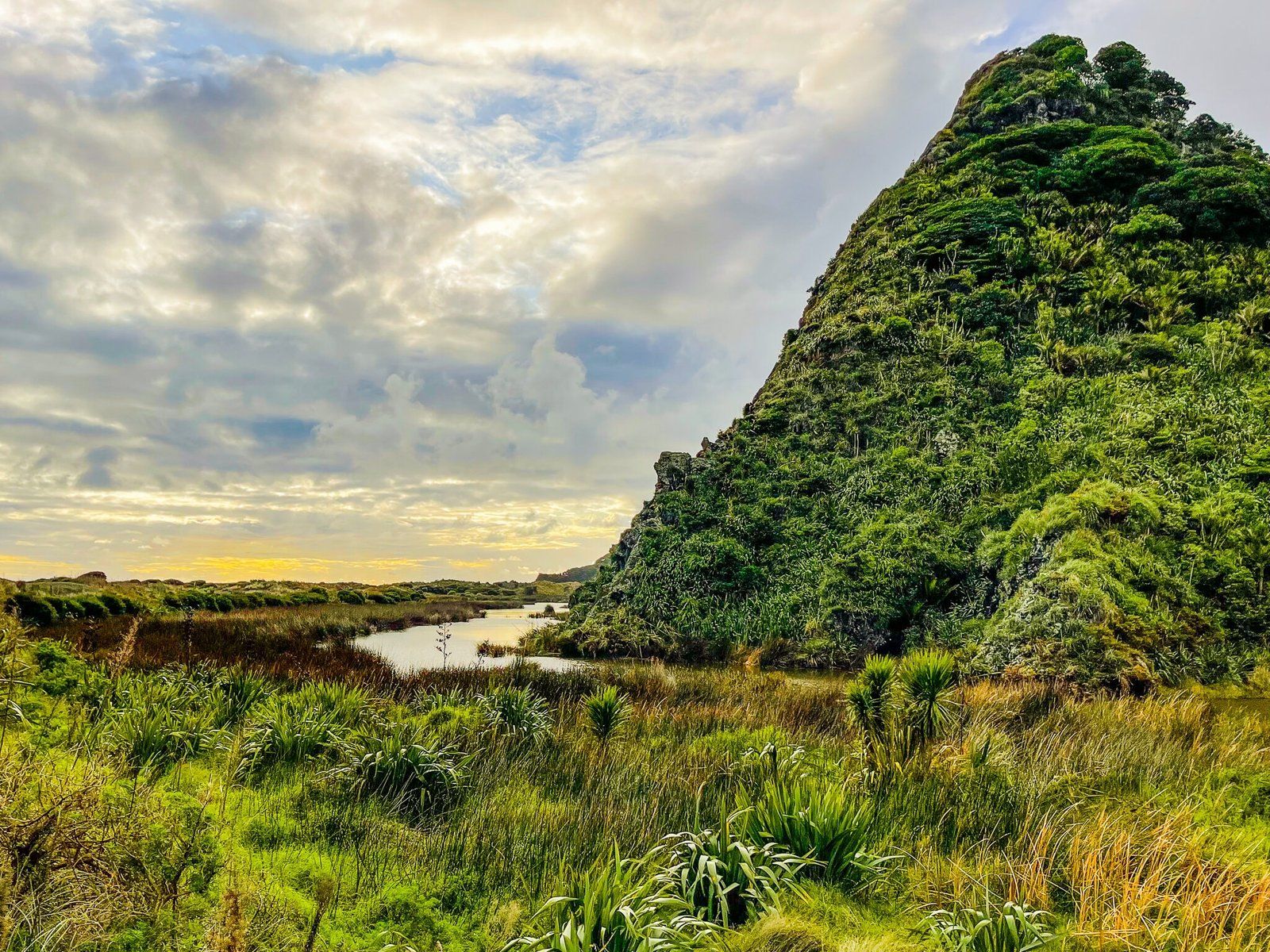
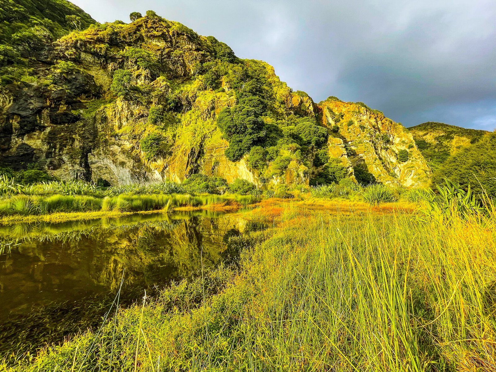
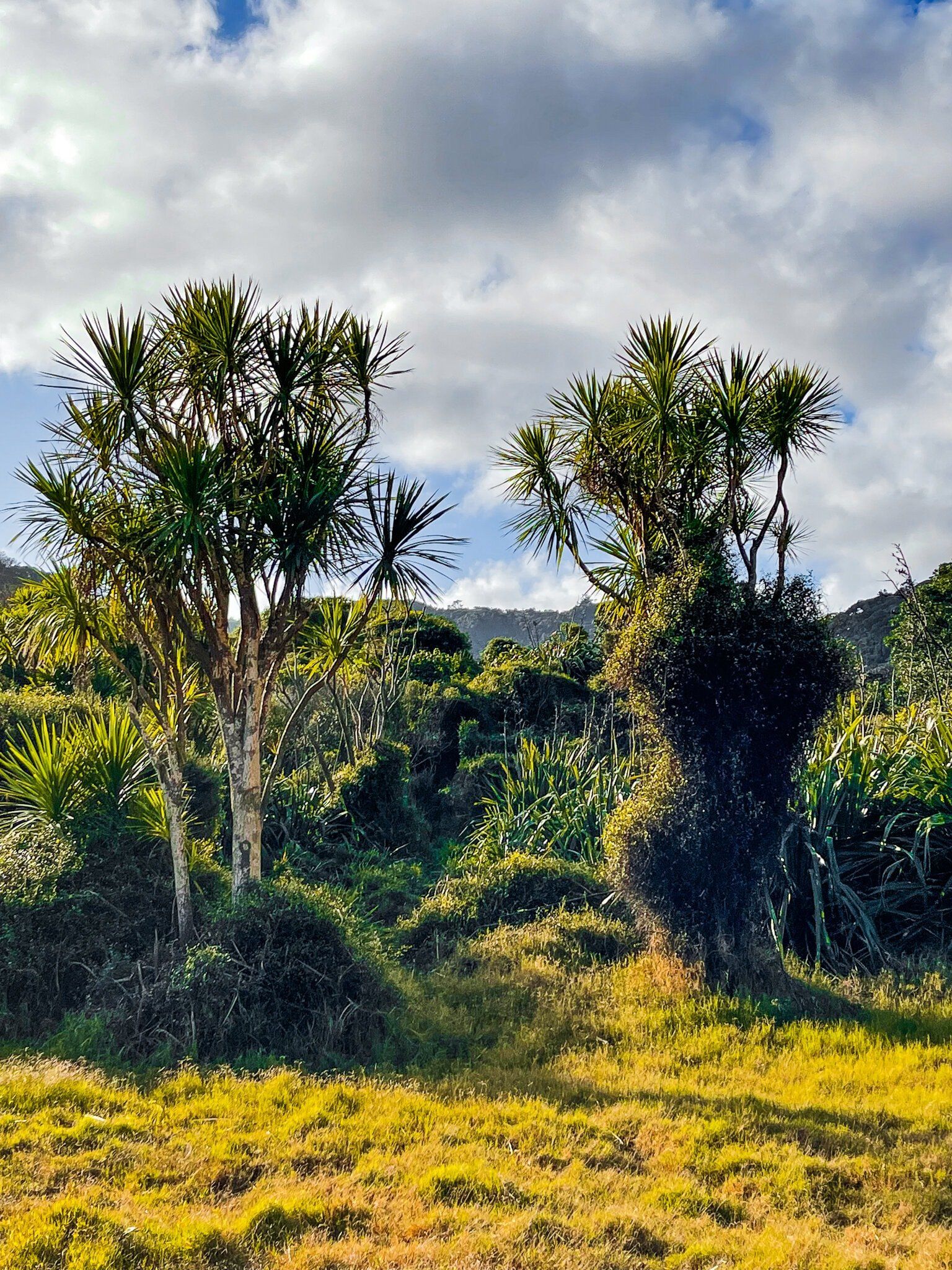
The main track through the valley has been extensively upgraded. At the valley entrance there is a wetland and you will cross a boardwalk and pass the (still closed as of spring 2022) access to the Zion Track on the left side. Look a bit more closely to spot the waterfall off the cliff in the far distance. Looking up the valley, you may see a second waterfall after a bit of rain, coming off the cliff that marks a dogleg in the valley. Next there is an interesting extended curved bridge that crosses the Pararaha Stream, which also provides a viewing platform. The track then heads into forest regrowth alongside the stream, overhung by cliffs and steep-sided hills. This includes a large conical exposed volcanic core on the left side walking in.
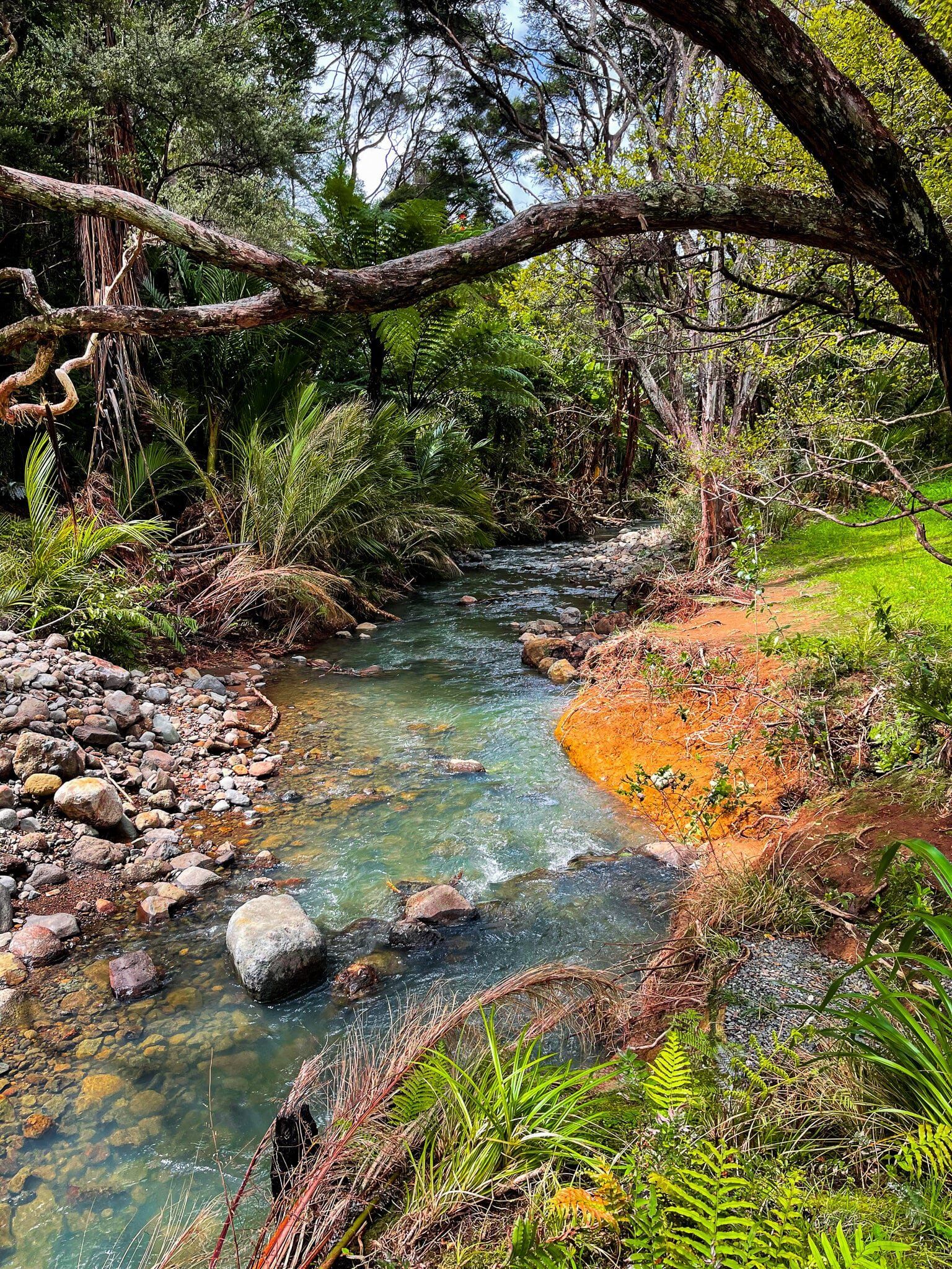
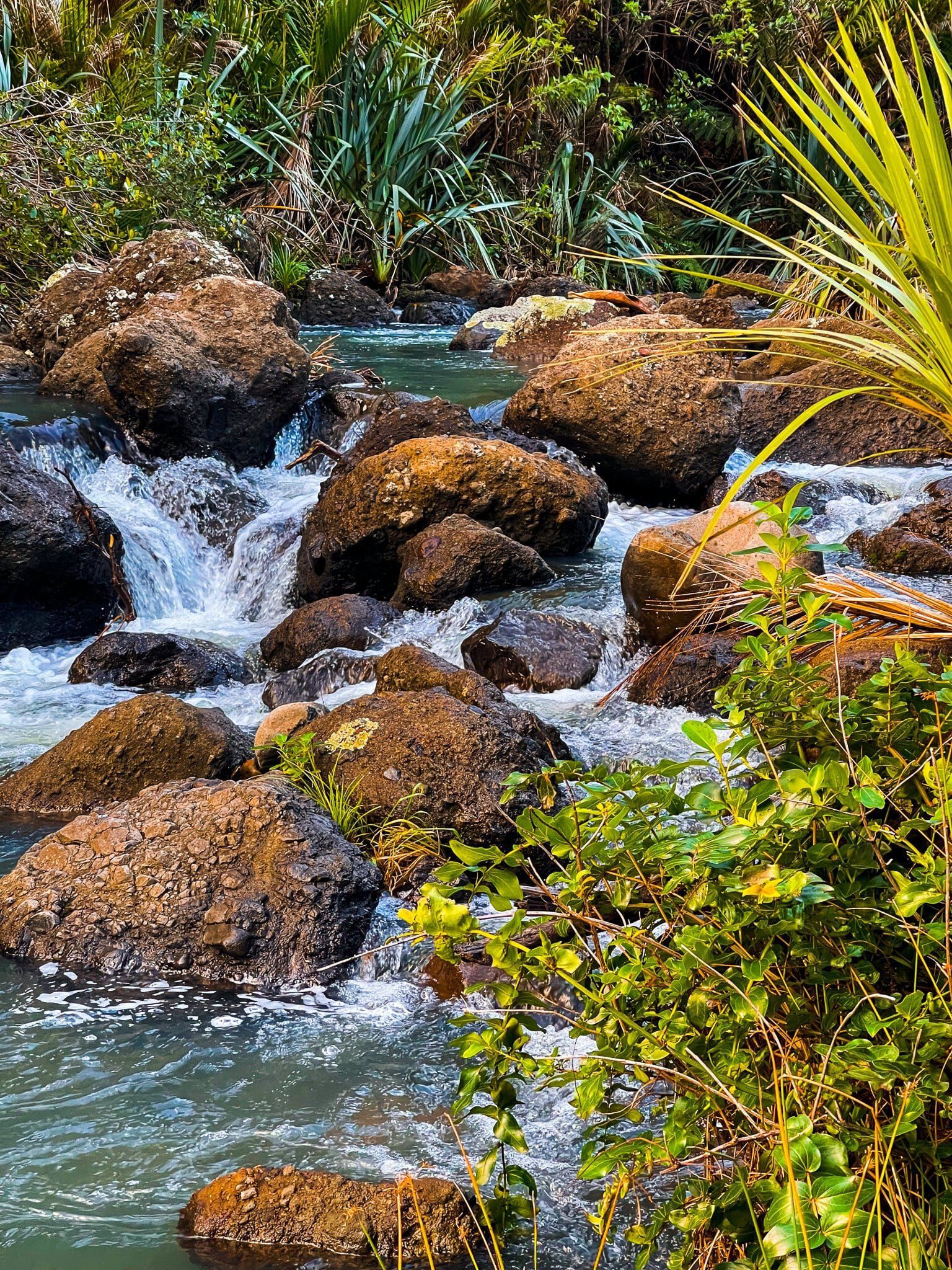
From the campsite, there is also easy access to the stream which you can explore at your leisure.
Pararaha Valley to Karekare Beach
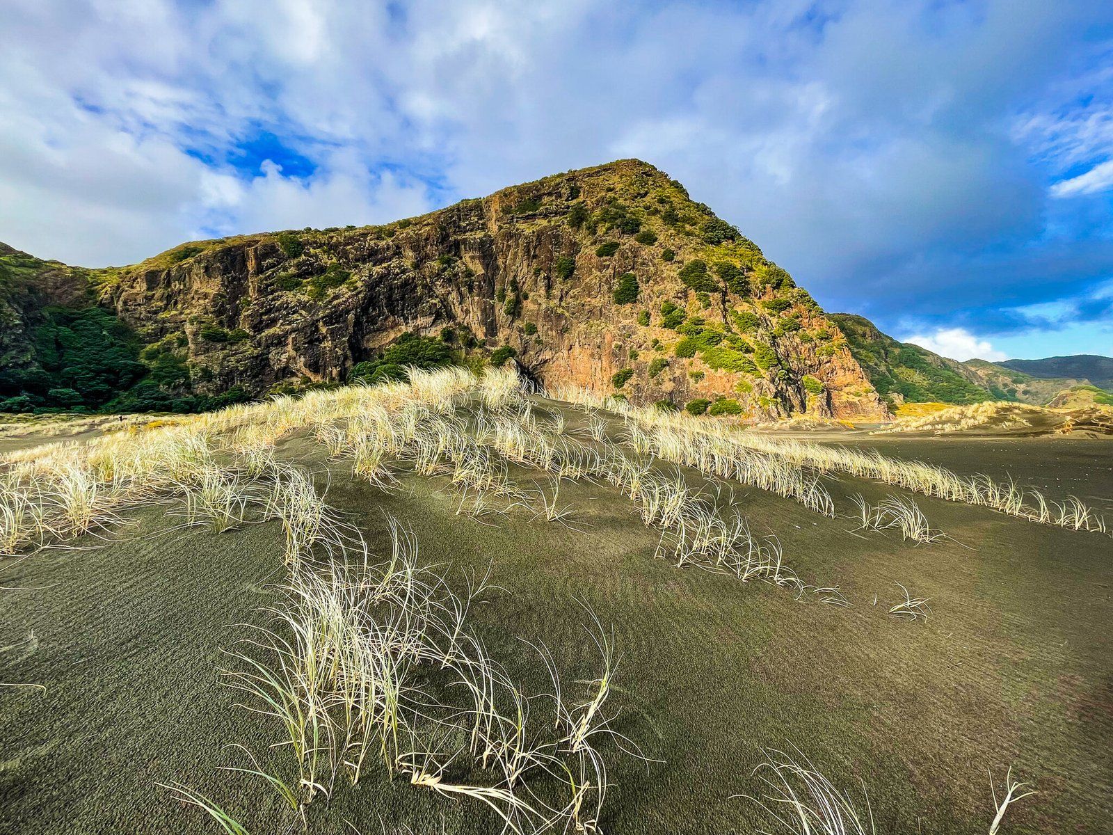
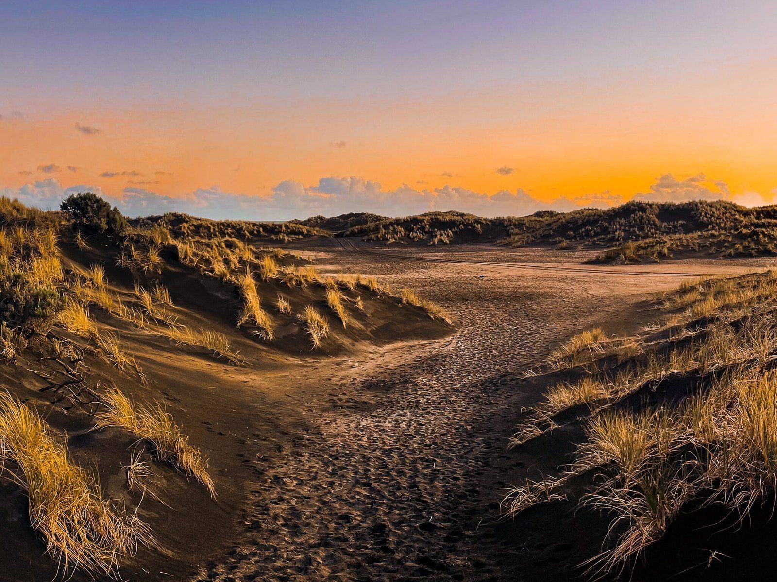
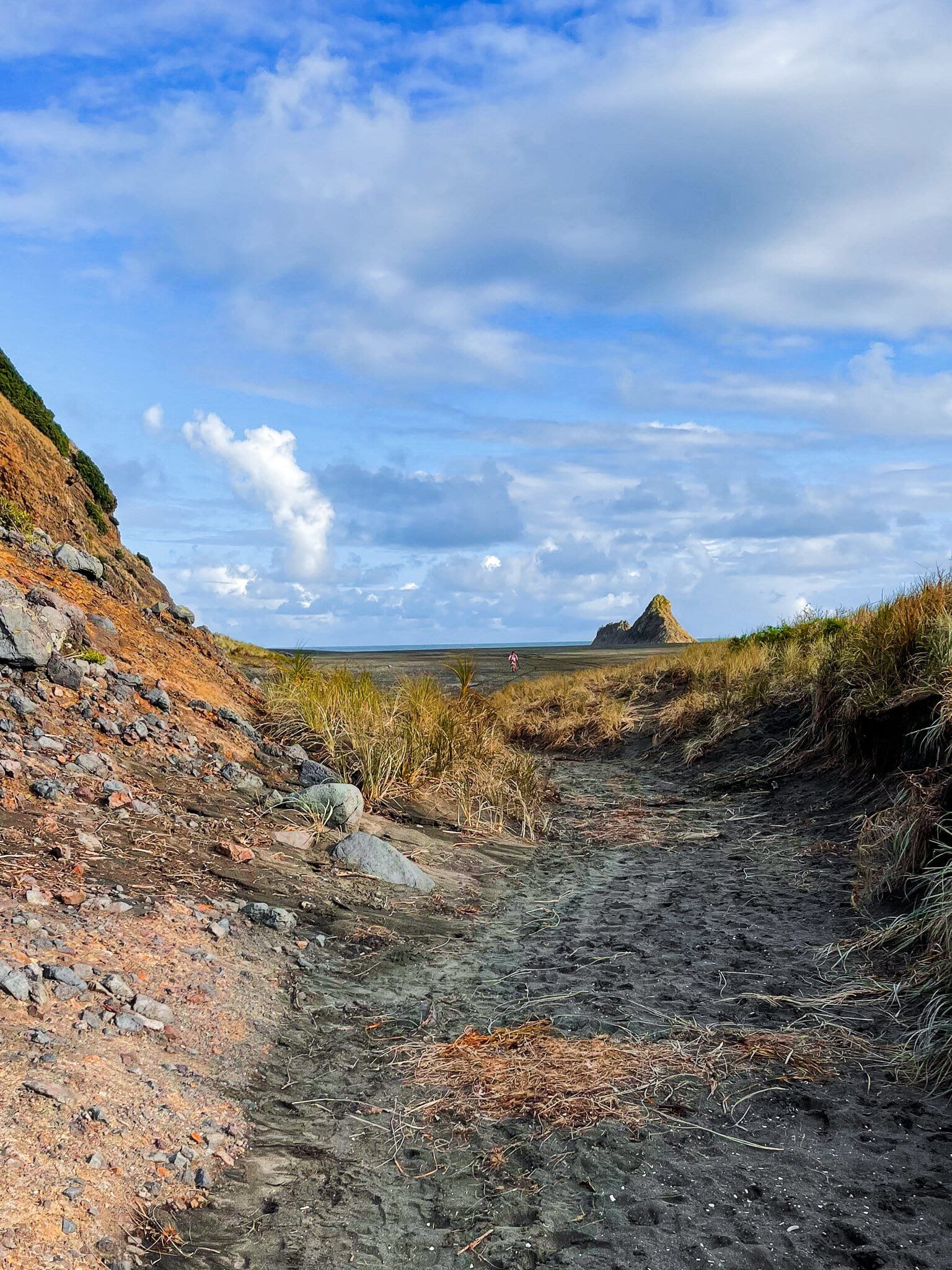
From the valley entrance, there is a well marked track that takes you over a wide flat section of black sand, with a lagoon to the north below the cliffs, then through the dunes and eventually out to the long beach that runs from Whatipu to Karekare. You can leave the track and head over the dunes earlier, but the track walk provides interesting views over the scrub and dunes back to the cliffs that line this section of the coast, plus intersect with the Tunnel Point campsite.
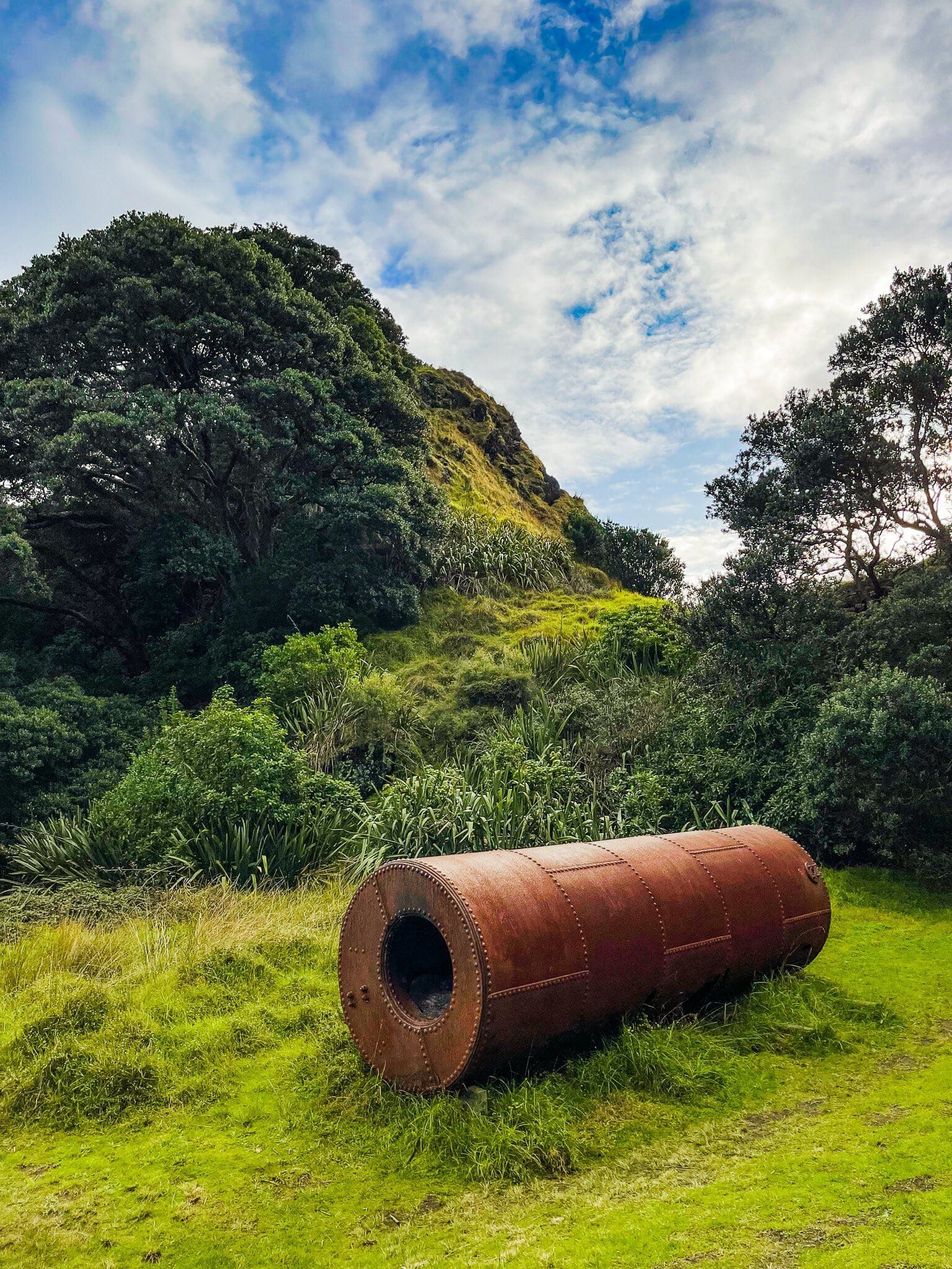
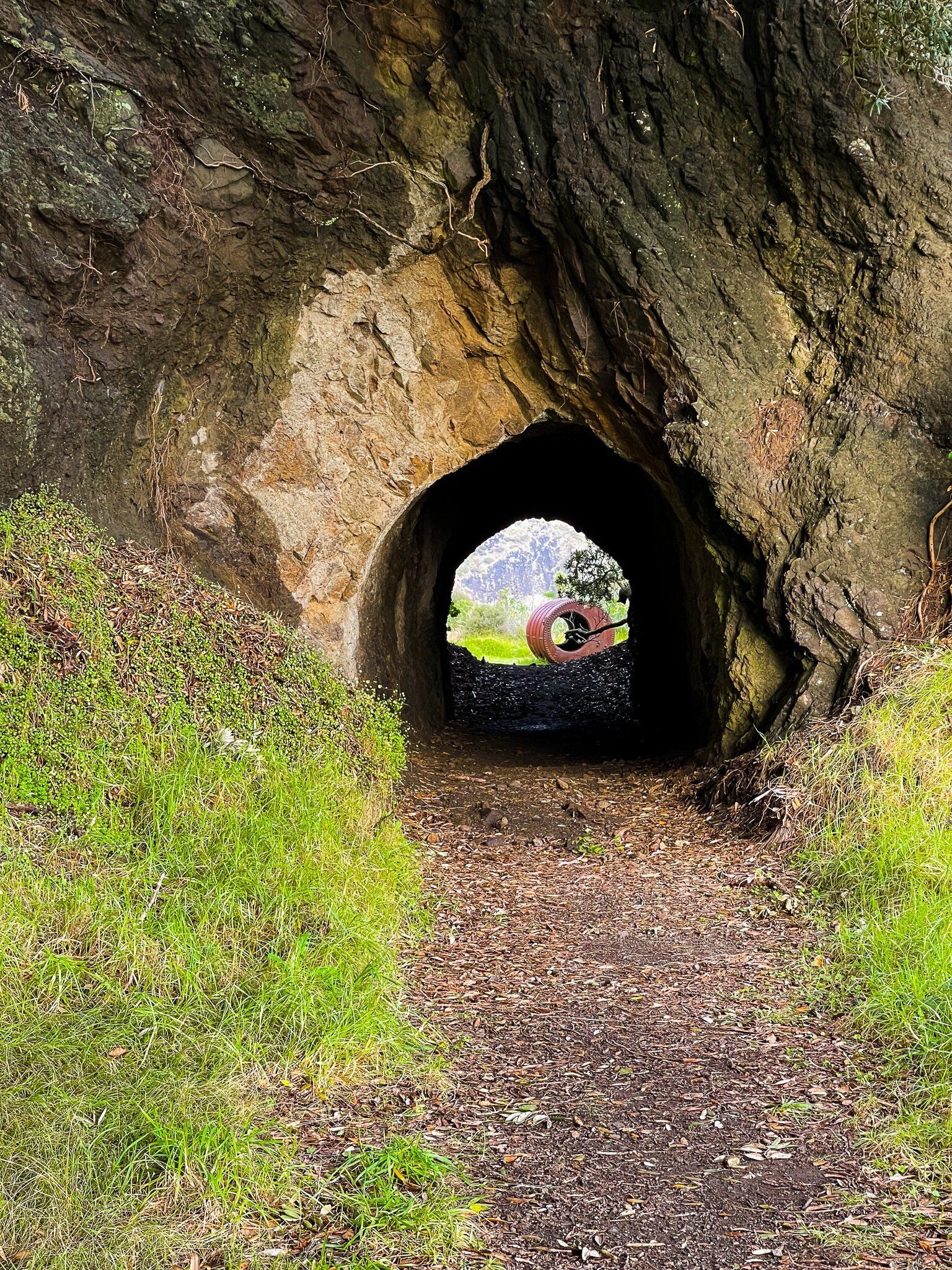
The campsite is of some interest. It is right next to another wetland below the coastal cliffs, and is named for the short tunnel through the point. The tunnel marks one of the few remnants of a tramway that was built in the early 1900s and operated until the 1920s to carry kauri logs from this part of the Waitakere Ranges to Whatipu. There are some other artefacts around the campsite, but there is very little left.
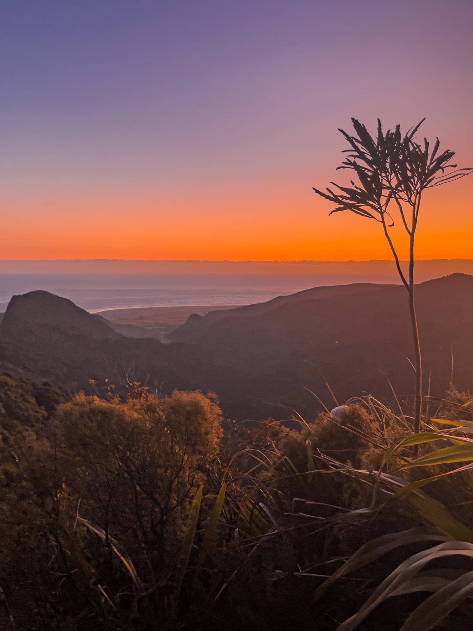
Heading through the tunnel, the track eventually comes to an end next to another lagoon below Cowan Point. From there it is an easy walk out towards the beach with a nice view of Paratahi Island, or continue to follow the cliff line back around Karekare Point to Karekare. It’s particularly pretty at sunset.
Pōhutukawa Walk
As you head towards Karekare beach, the quickest access to the Karekare carpark and the next stage of Te Ara Tūhura is along the Pōhutukawa Walk. To find the entrance, follow the cliff line around Karekare Point and you will see it as you approach the dunes. The first section of the walk is through the dunes, then an open grassed area before you enter a copse of quite mature pōhutukawa. A nice spot for a picnic, especially in December when the trees flower if you want some shade away from the black sand beach.
The walk ends at the Karekare road, with the car park on the other side of Karekare Stream. Follow the road a short distance to the only side road, cross the bridge and walk to the road end. Coman’s Track, the next stage of Te Ara Tūhura, starts there. There is also a small campsite at Karekare – continue along the road until you see it on the left.
Want more Trip Ideas?
Check out our blogs on Waitākere Walking Tracks Part 1 and Part 2, and Waitākere Beaches.